


RundWanderWelt Hinterstoder - Öttl-Runde
Gehzeit: 2 1/4 Std. Länge: 5,7 km Auf der Sonnenseite des Tales, unweit des Wegeinstieges Hametner, nur wenige Gehminuten vom Dorfzentrum entfernt, führt eine Schotterstraße nach einem kurzen, steilen...
Gehzeit: 2 1/4 Std.
Länge: 5,7 km
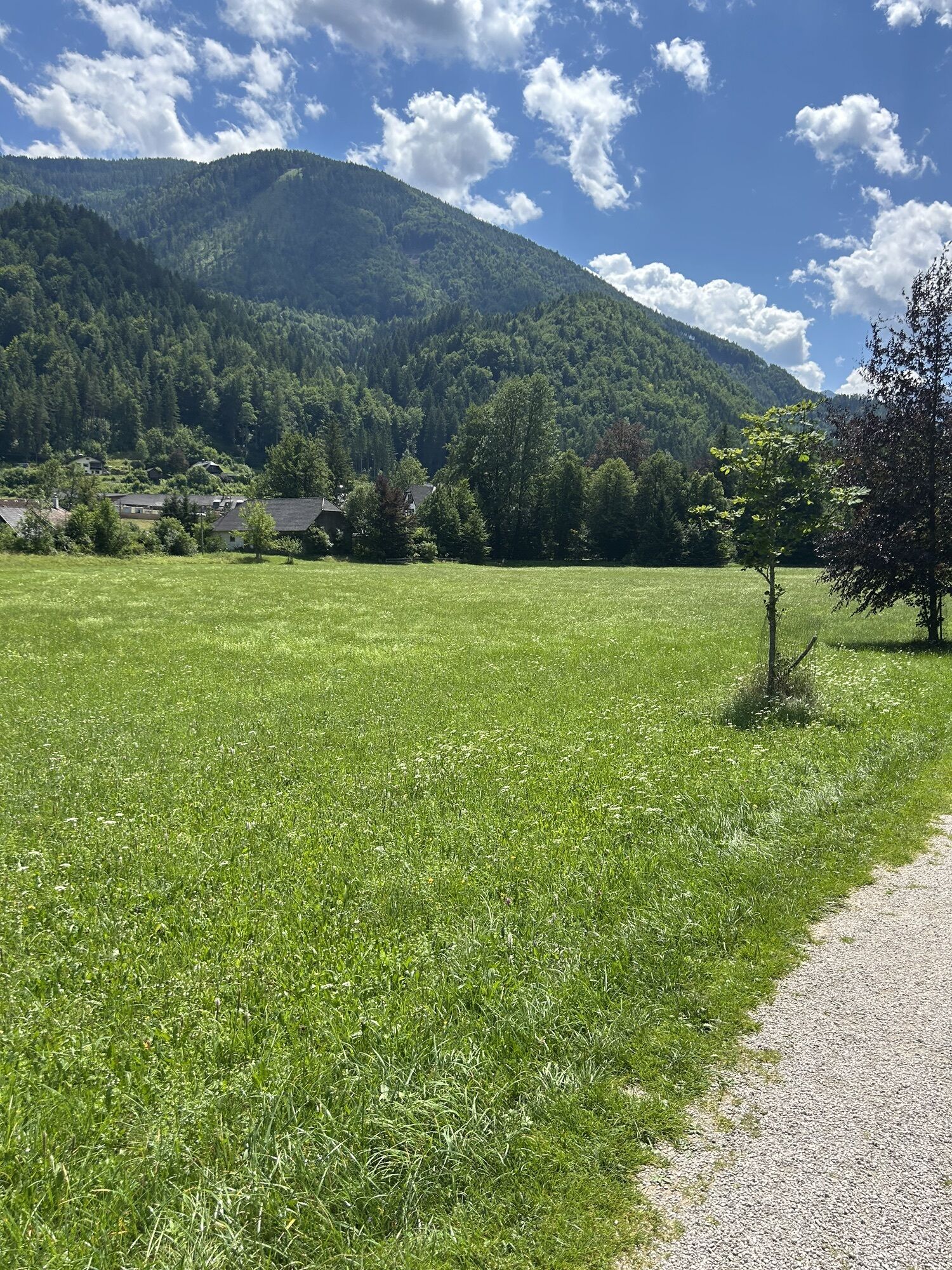
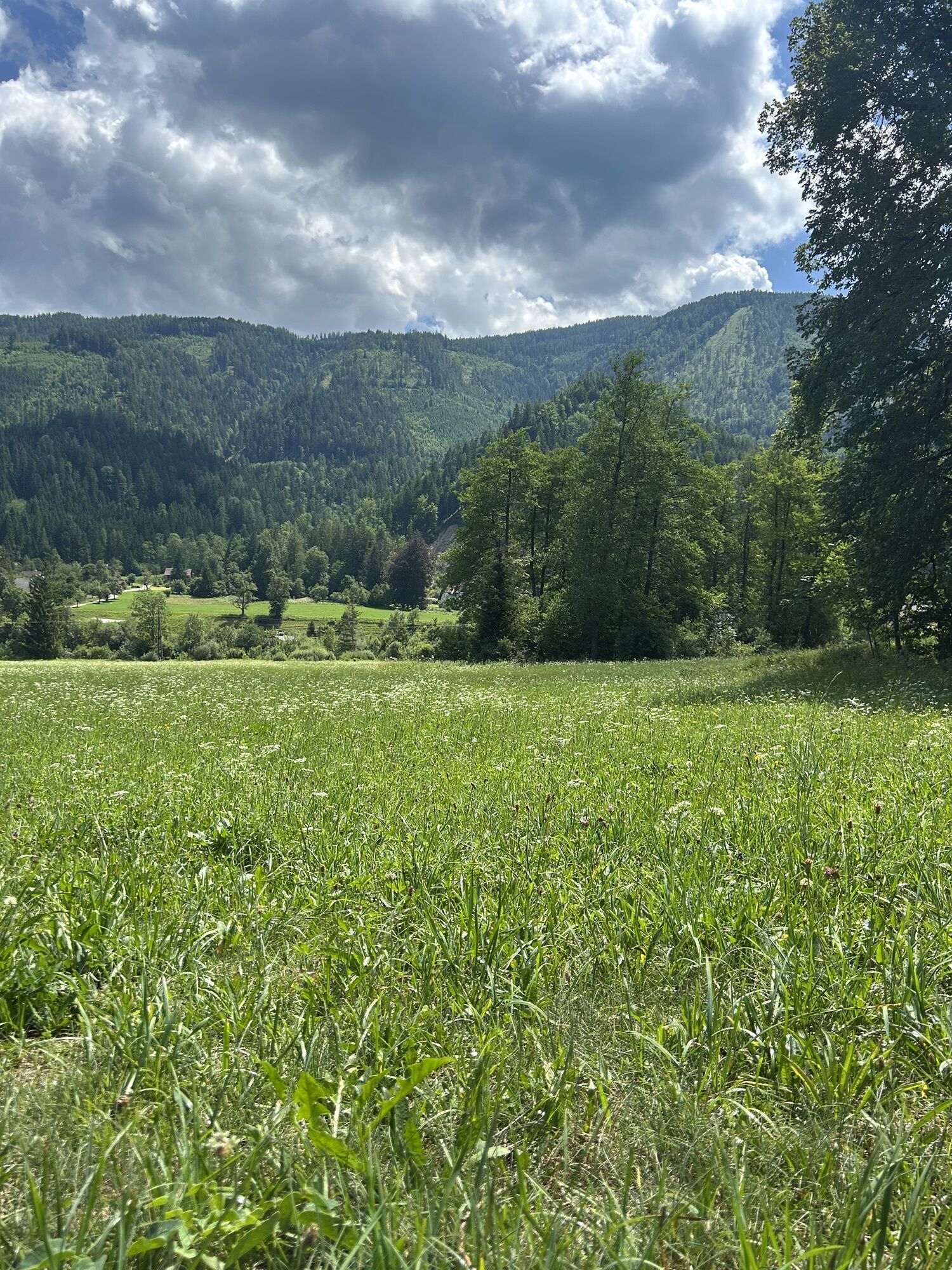
Auf der Sonnenseite des Tales, unweit des Wegeinstieges Hametner, nur wenige Gehminuten vom Dorfzentrum entfernt, führt eine Schotterstraße nach einem kurzen, steilen Anstieg ins Seitental des Stegerbaches. Nach einer Waldlichtung geht’s links weg, um auf die Sonnenhänge des Öttlberges zu gelangen. Der Markierung auf romantischen, leicht ansteigenden Wald- und Wiesenwegen folgend, erreichen Sie das Öttlgut. Vom Öttlgut zieht sich die Schotterstraße talwärts, einige Gräben mit Bächen überbrückend, zwischen Fichten und Föhren nach Westen um zwischen Schiederweiher und Johannishof in die Polsterlucken-Runde einzumünden. Von dort führt der Weg dem Flötzersteig entlang zurück zum Ausgangspunkt im Ortszentrum.


Sportbuffet, Pizzeria Mamamia, Café Annemarie, GH zur Post, Dorfstub´n, Café Gollner, Landgasthof Schmalzerhof
Wanderkarte Pyhrn-Priel erhältlich in allen Pyhrn-Priel Tourismusbüros!
Von Vorderstoder kommend folgen Sie der Beschilderung Hinterstoder - Bei der Kreuzung Links nach Hinterstoder abbiegen
A9 Pyhrnautobahn – Abfahrt St. Pankraz – anschließend links abbiegen – bei GH Steyrbrücke links nach Hinterstoder
Kamery internetowe z trasy
-
Bergstation Hössbahn
-
Bergstation Hössexpress
-
Bergstation Hirschkogelbahn
-
Bergstation Hössexpress
-
Bergstation Hössbahn
-
Bergstation Hössbahn
-
Bergstation Hössbahn
-
Bergstation Hirschkogelbahn
-
Bergstation Hirschkogelbahn
-
Bergstation Hirschkogelbahn
-
Panoramalift Tal - Startplatz West
-
Panoramalift Tal - Startplatz West
-
Panoramalift Tal - Startplatz West
-
Panoramalift Tal - Startplatz West
-
Panoramalift Tal - Startplatz West
Popularne wycieczki w okolicy
-
5,0
RundWanderWelt Hinterstoder - Polsterlucken-Runde
Wędrówka 3,94 km -
4,3
Spital am Pyhrn: Wurzeralm - Dümlerhütte - Rote Wand
średniWędrówka 10,1 km -
4,3
Wurzeralm NaturErlebnisWelt - 2 Millionen Jahren in 2 Stunden
Wędrówka 6,09 km -
4,7
Bergwanderung auf den Spering
średniWędrówka 7,50 km -
4,9
Nazogel und Angerkogel
średniWędrówka 10,9 km -
4,8
6-Seen-Wanderung auf der Tauplitzalm
średniTrailrunning 14,8 km -
4,2
Dolomitensteig
ciężkiWędrówka 9,29 km -
4,2
Rund um den Gleinkersee
Wędrówka 1,70 km -
4,6
Pießling Ursprung
Wędrówka 1,13 km -
4,0
Vorderstoder - Zellerhütte
średniWędrówka 11,1 km
Wędrówki i tropienie


Nie przegap ofert i inspiracji na następne wakacje
Twój adres e-mail została dodana do listy mailingowej.