
Trail "Linzerweg"
ciężki
Pobierz tę trasę na swój telefon komórkowy
Trail "Linzerweg"
ciężki
Wędrówka
8,06
km
Zeskanuj kod QR i rozpocznij nawigację w aplikacji bergfex.


Wędrówki i tropienie





Trail "Linzerweg"
ciężki
Odległość
8,06
km
Czas trwania
06:00
h
Ascent
316
hm
Poziom morza
1 663 -
2 276
m

Nawiguj po trasie w aplikacji
Zainstaluj aplikację za darmo i śledź trasę dzięki nawigacji GPS i funkcji śledzenia.
Skorzystaj już teraz z funkcji „ bergfex ” w aplikacji
Zeskanuj kod QR za pomocą aparatu
Po zainstalowaniu aplikacji treść otworzy się od razu. Jeśli jeszcze nie masz tej aplikacji, zostaniesz przekierowany do strony, z której możesz ją bezpłatnie pobrać.
Ścieżka do pobrania
Trail "Linzerweg"
ciężki
Wędrówka
8,06
km
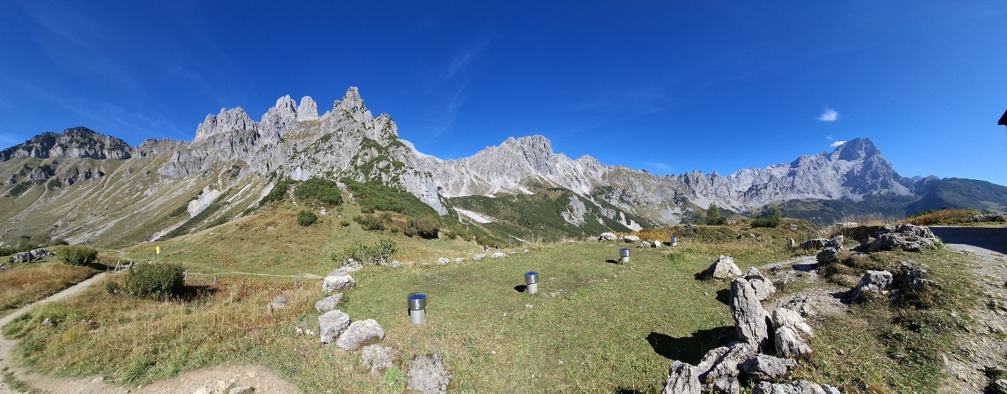
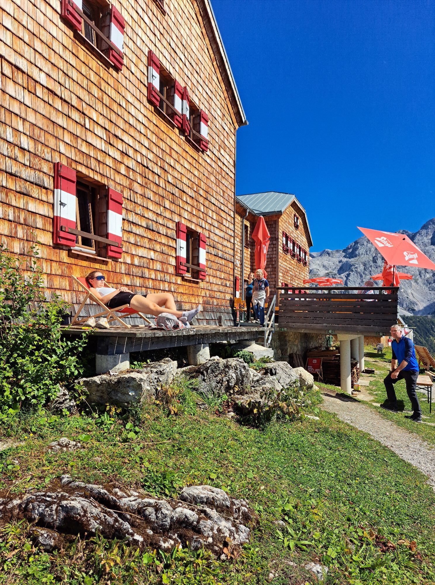
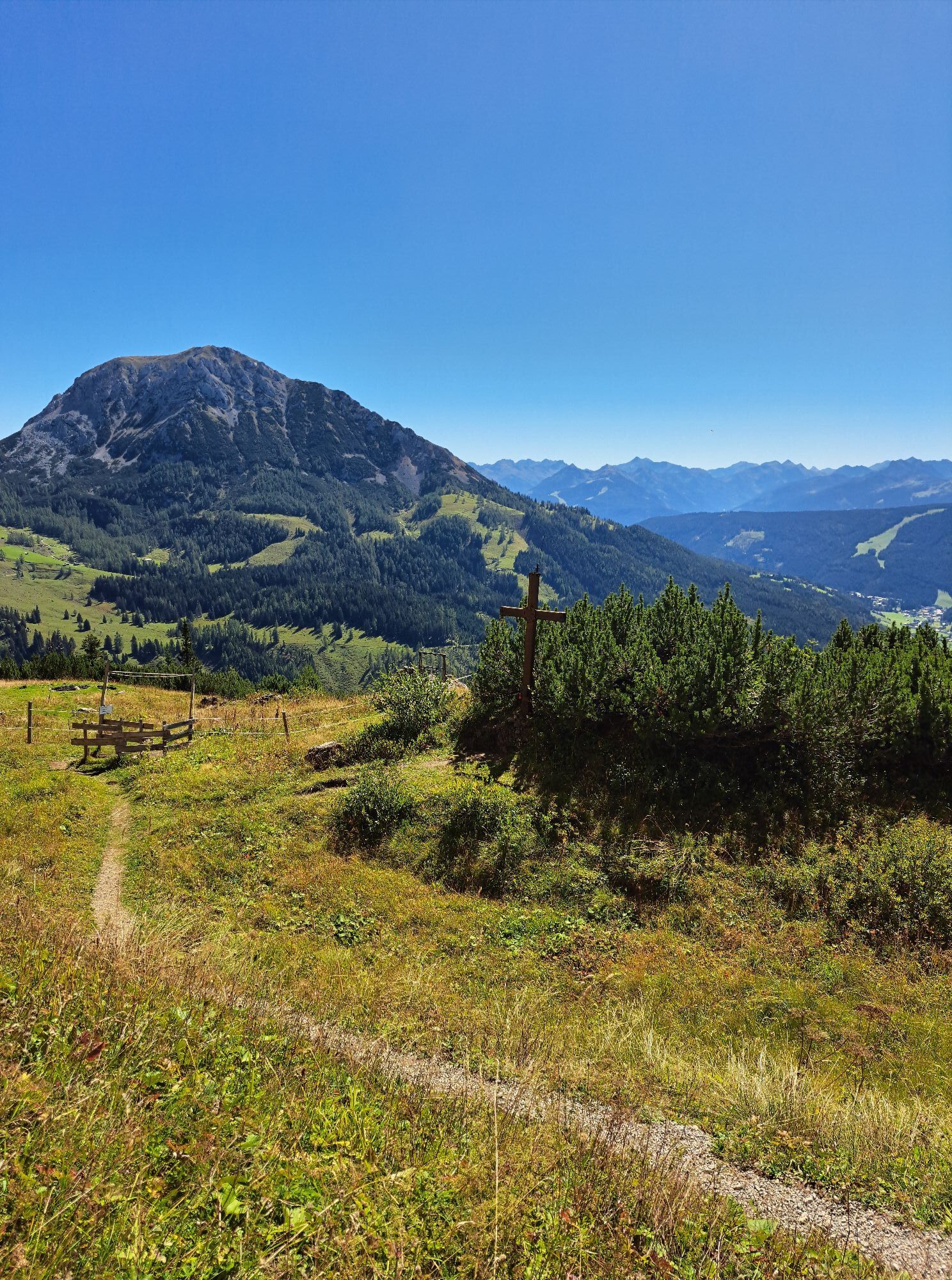
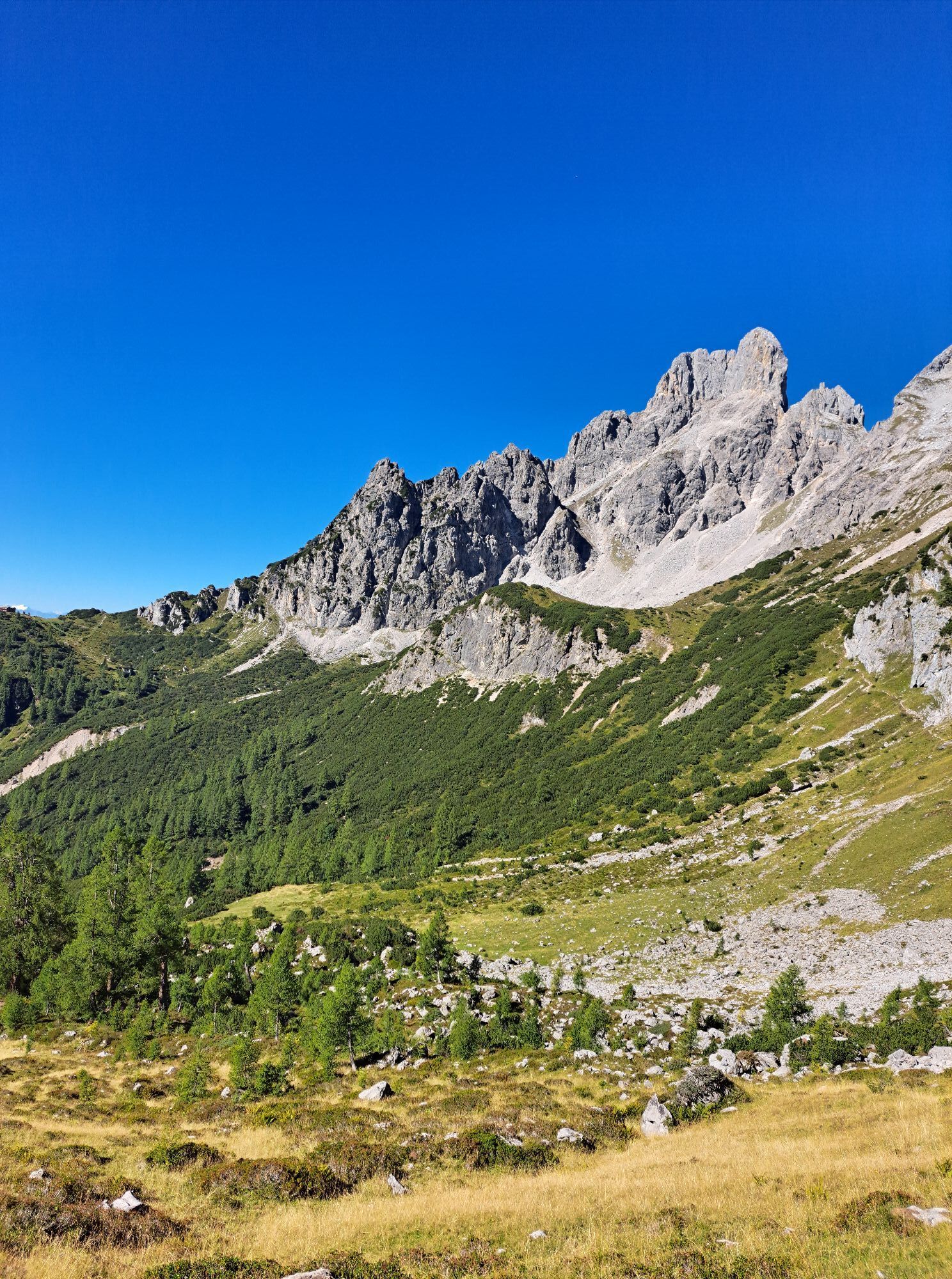
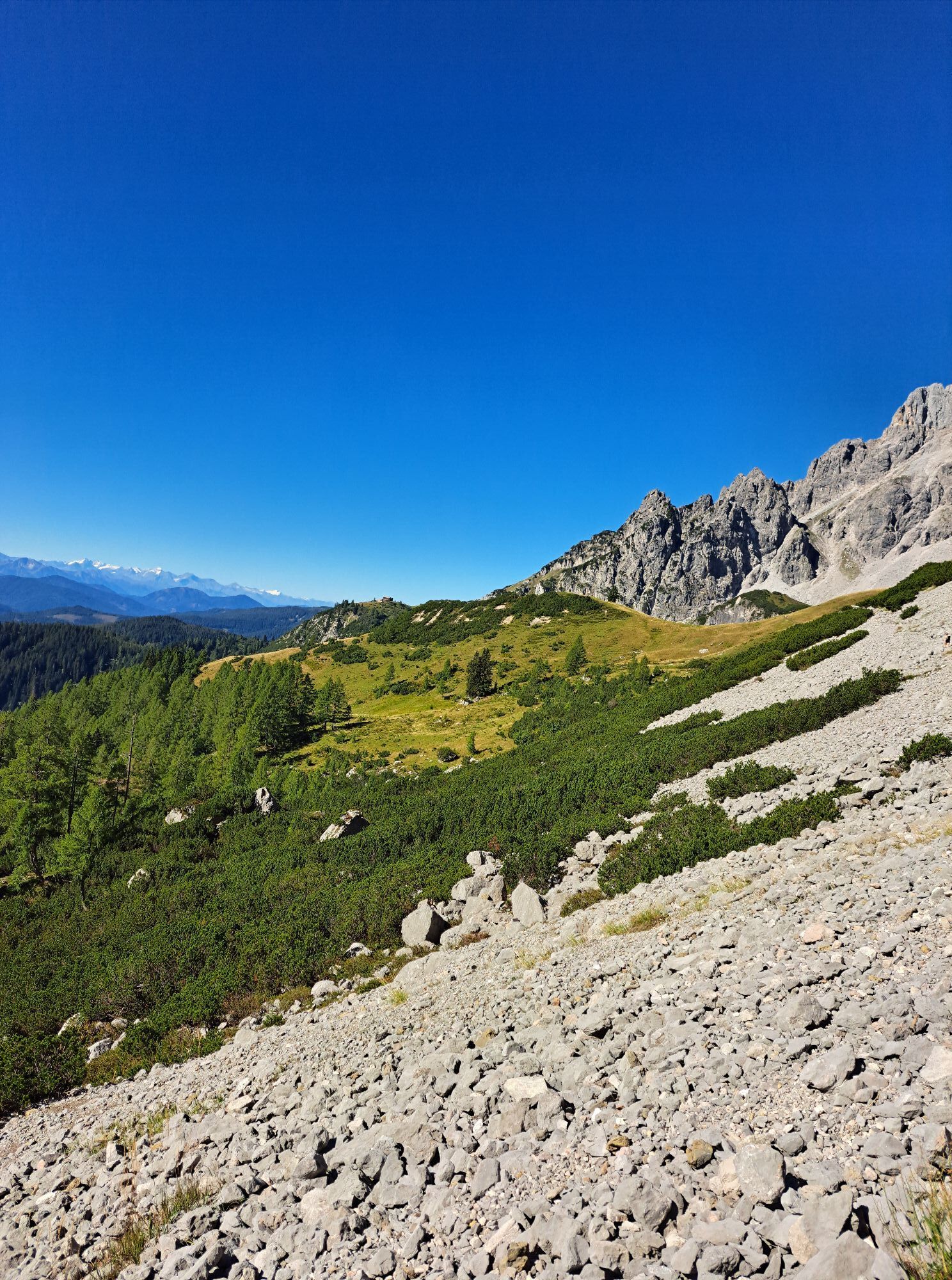
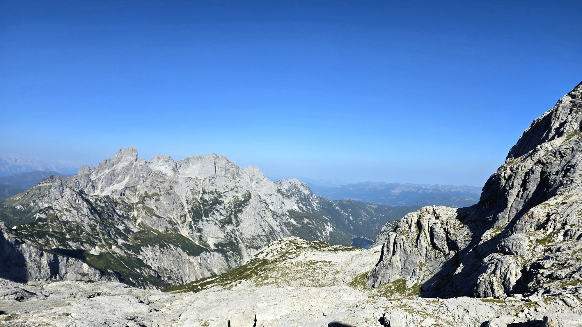
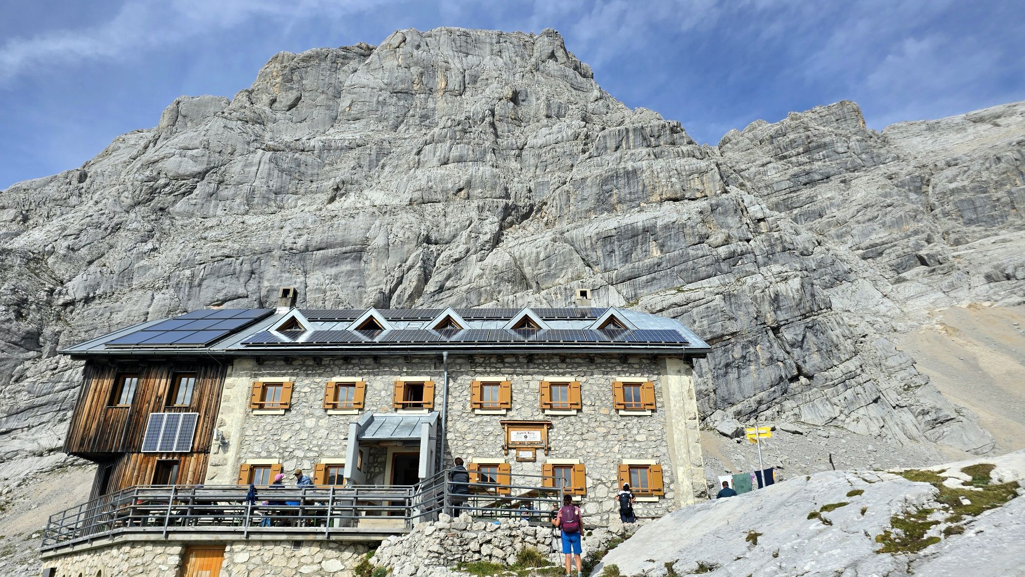
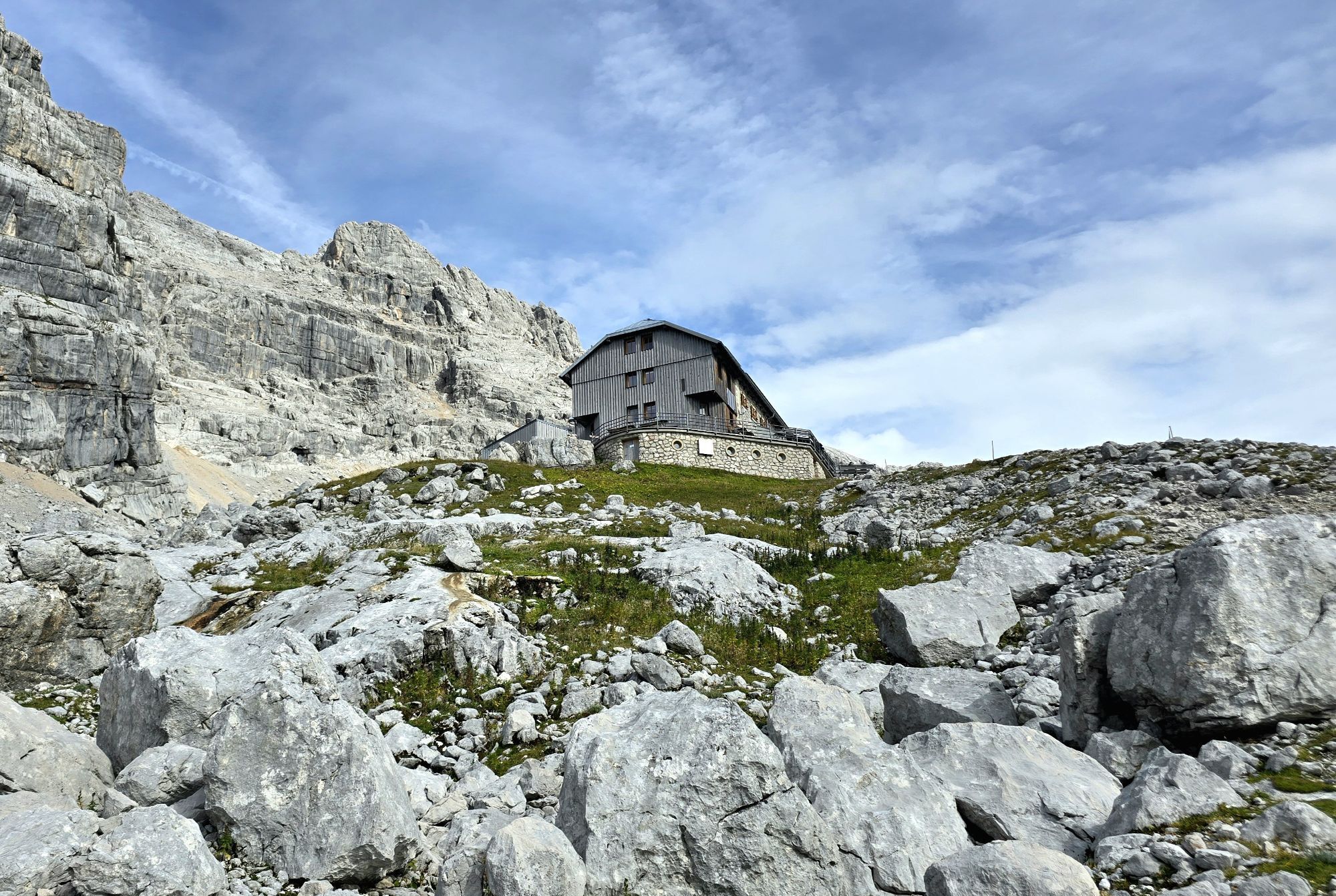
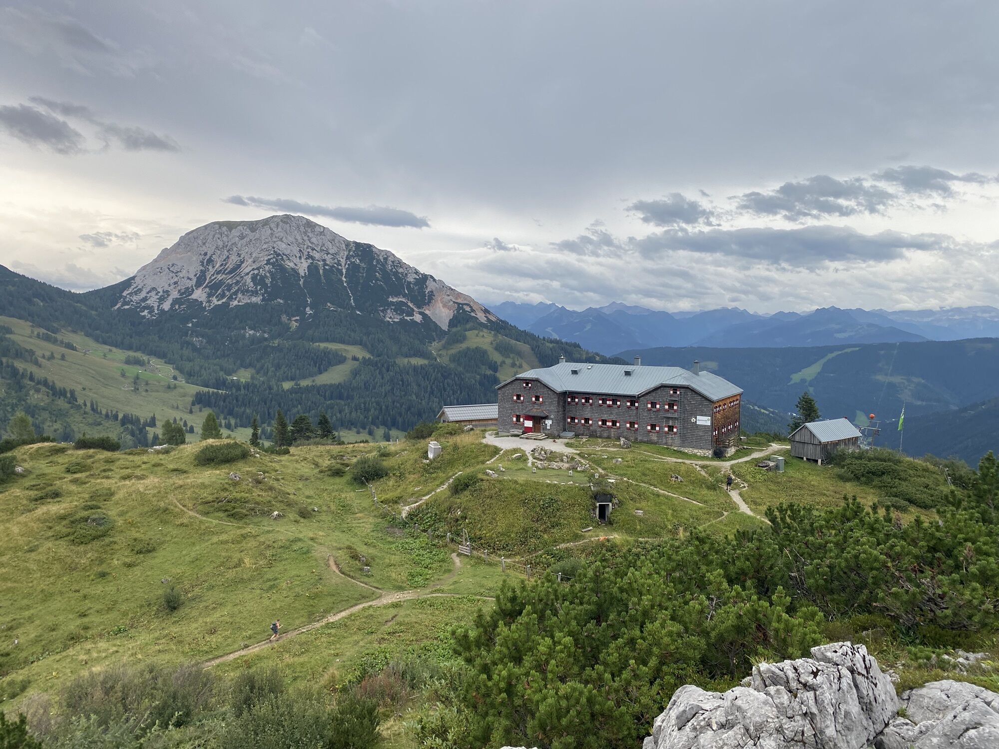
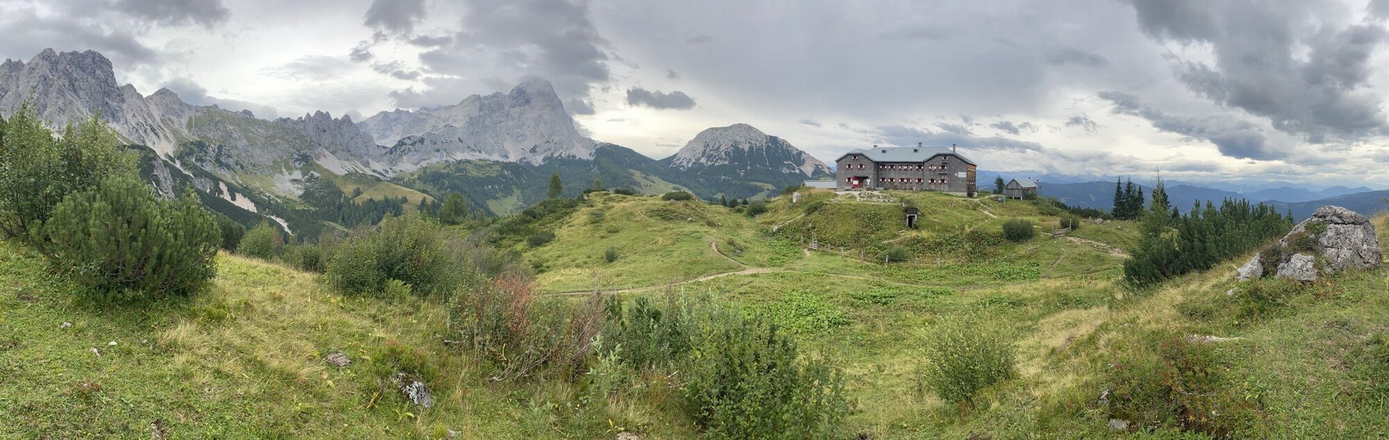
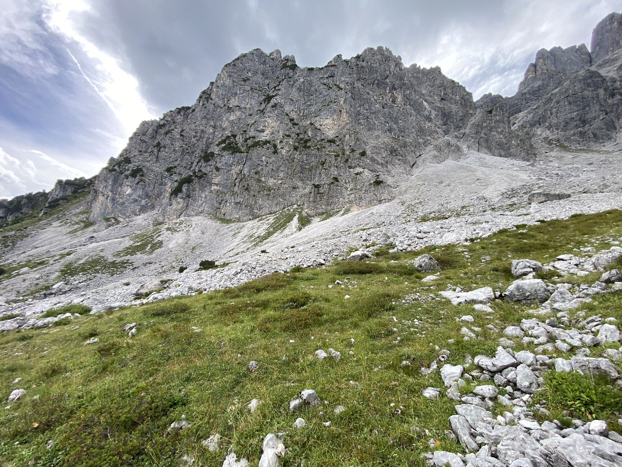
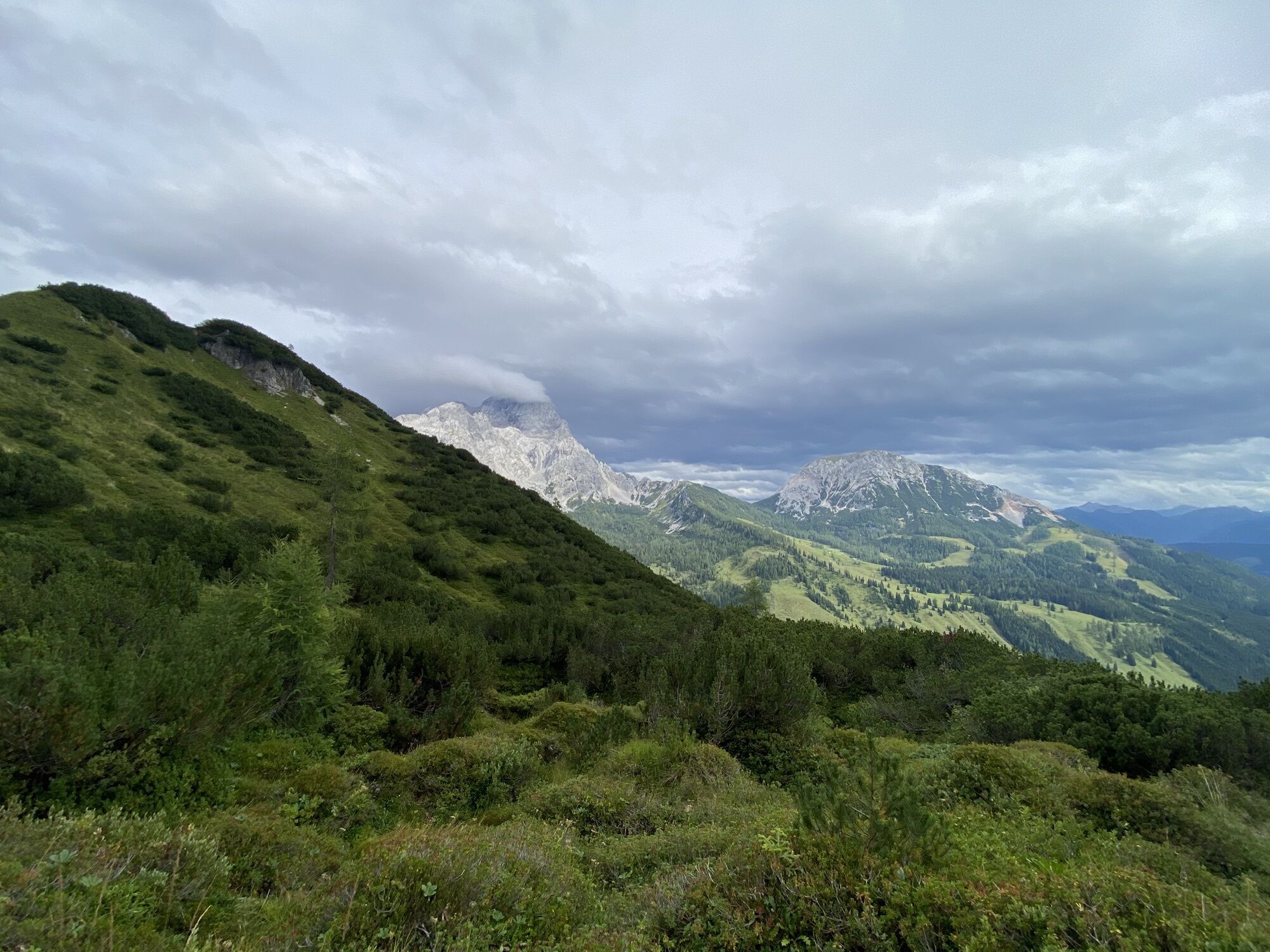
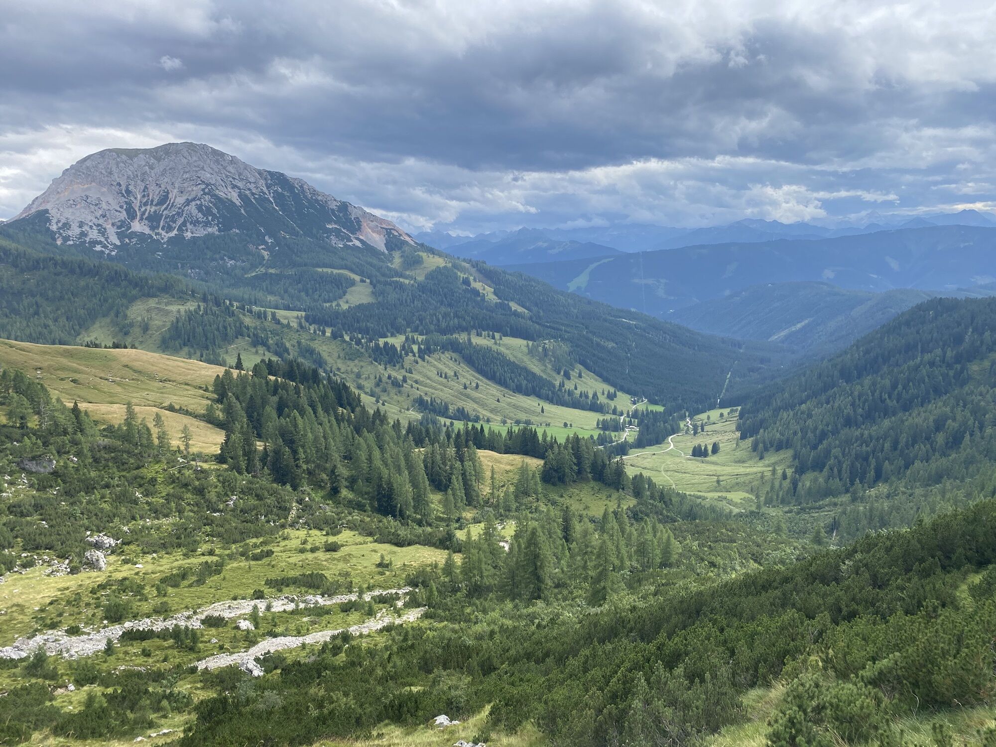
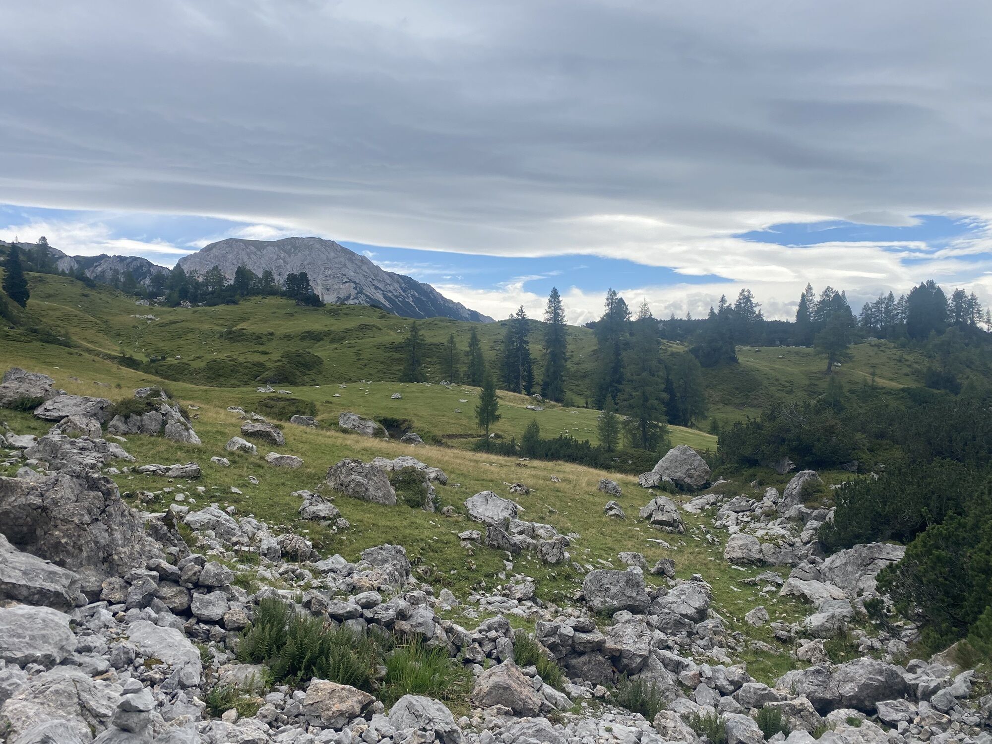
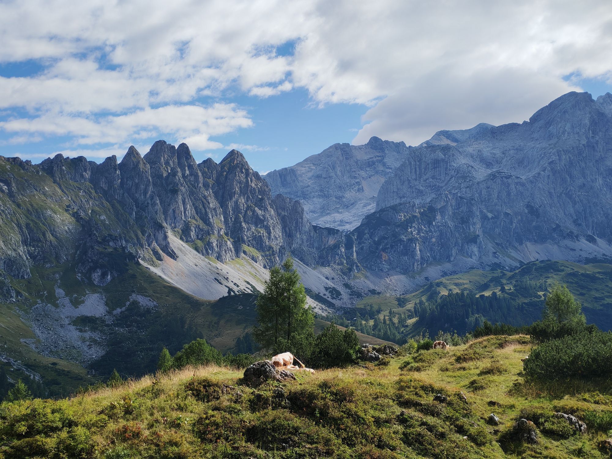
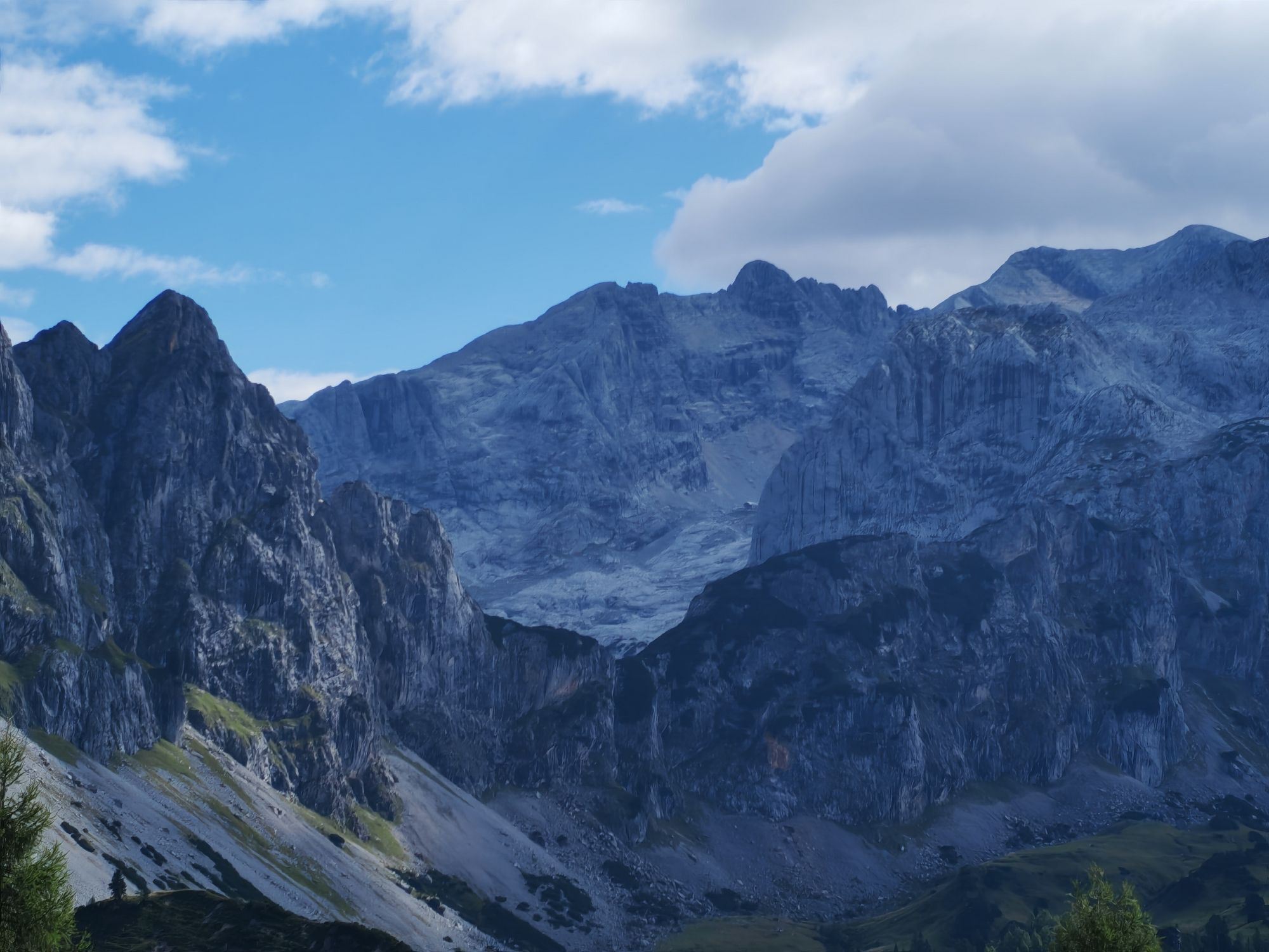
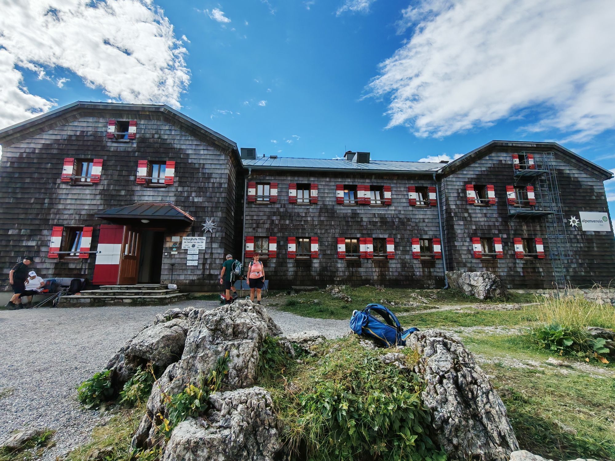
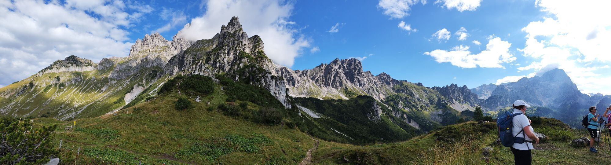
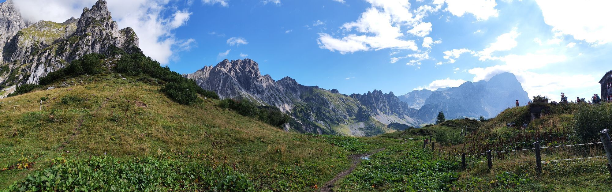
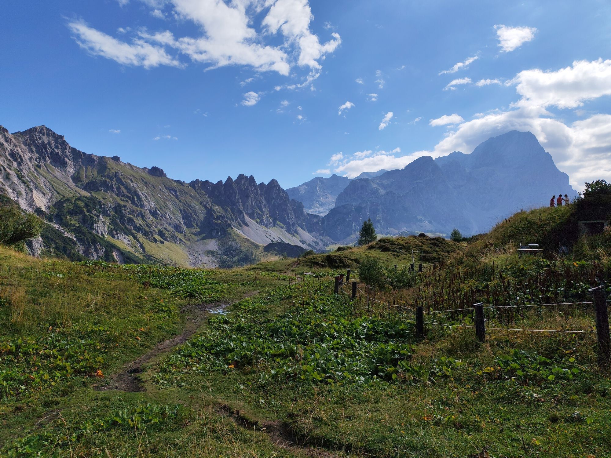
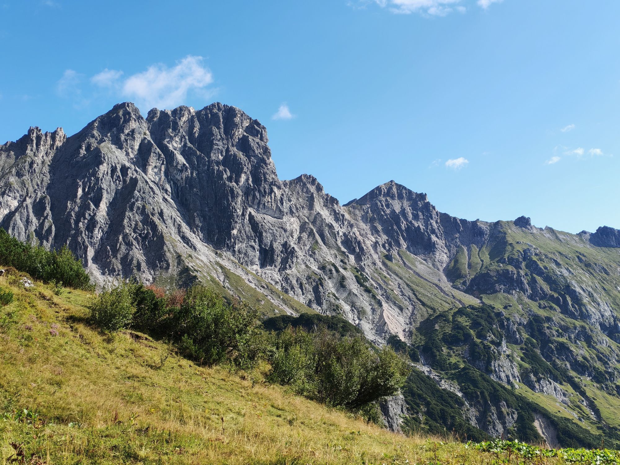
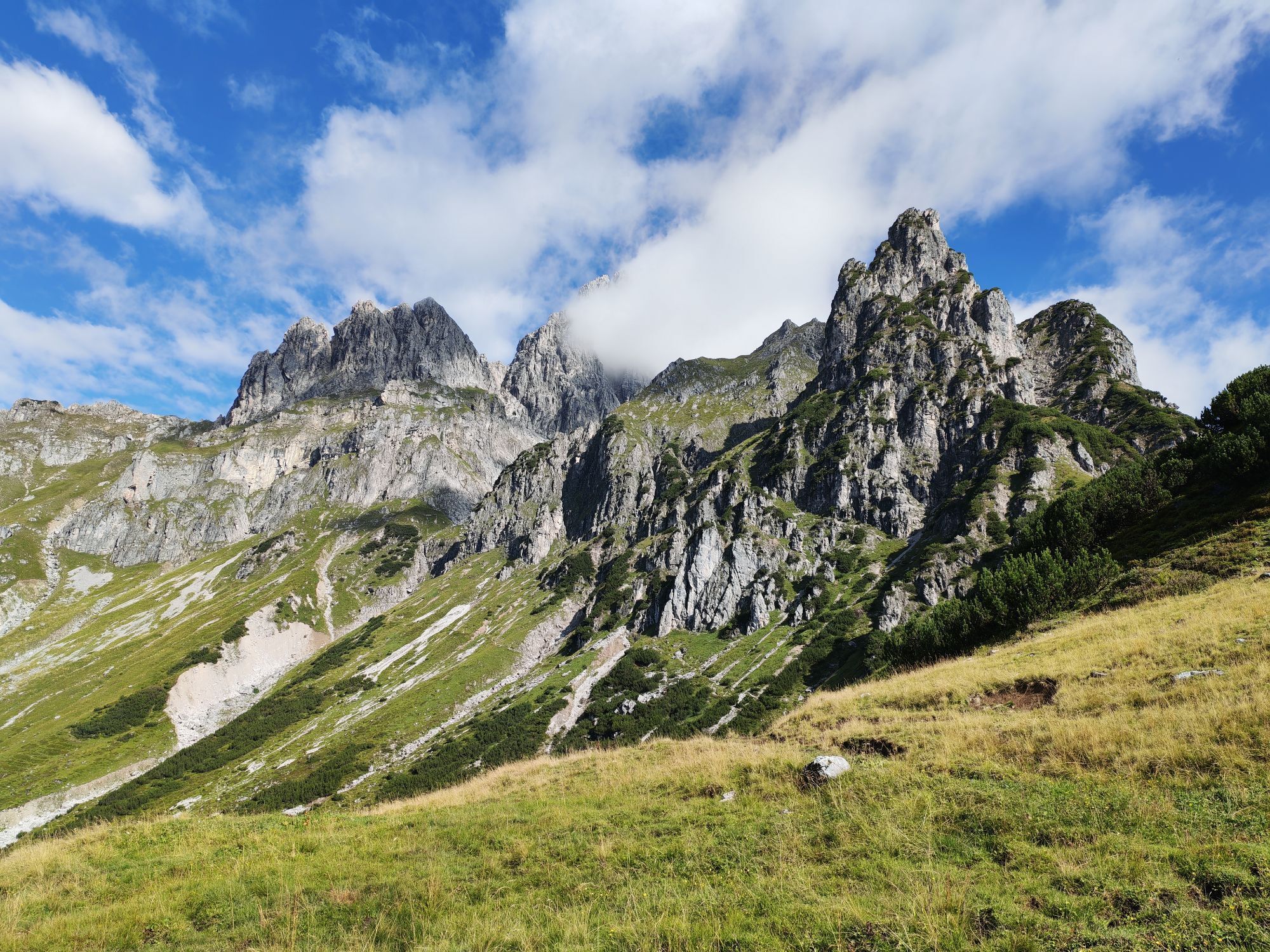
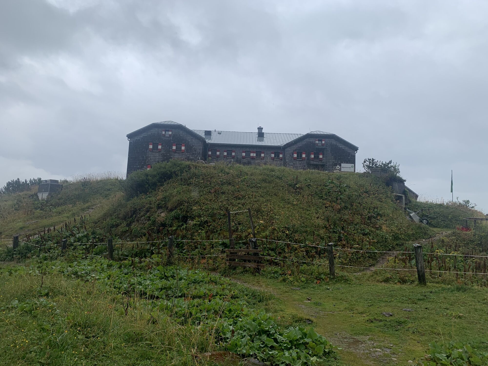
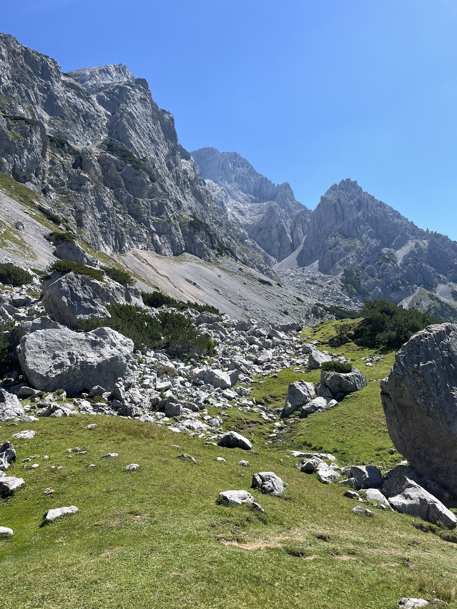
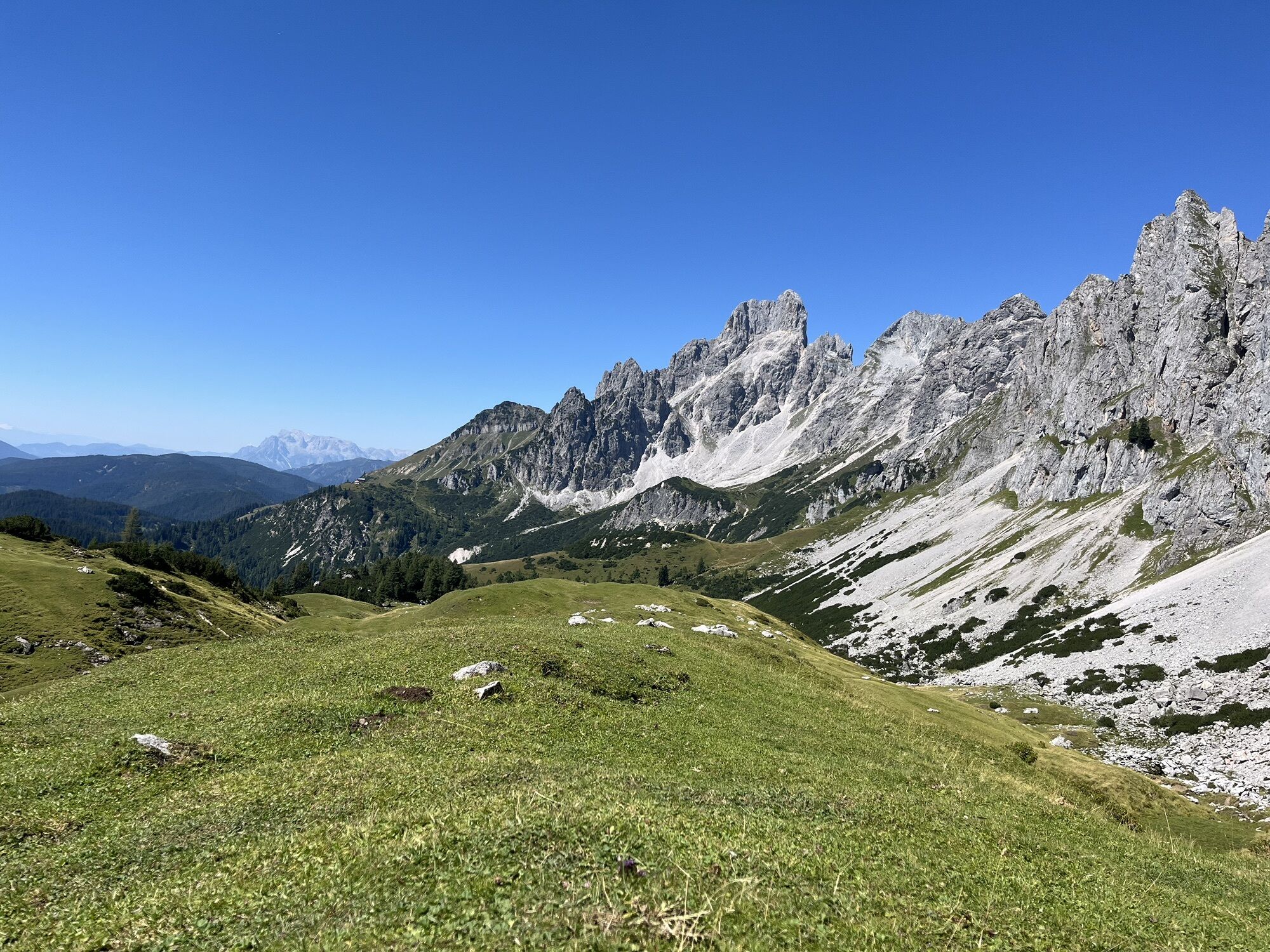
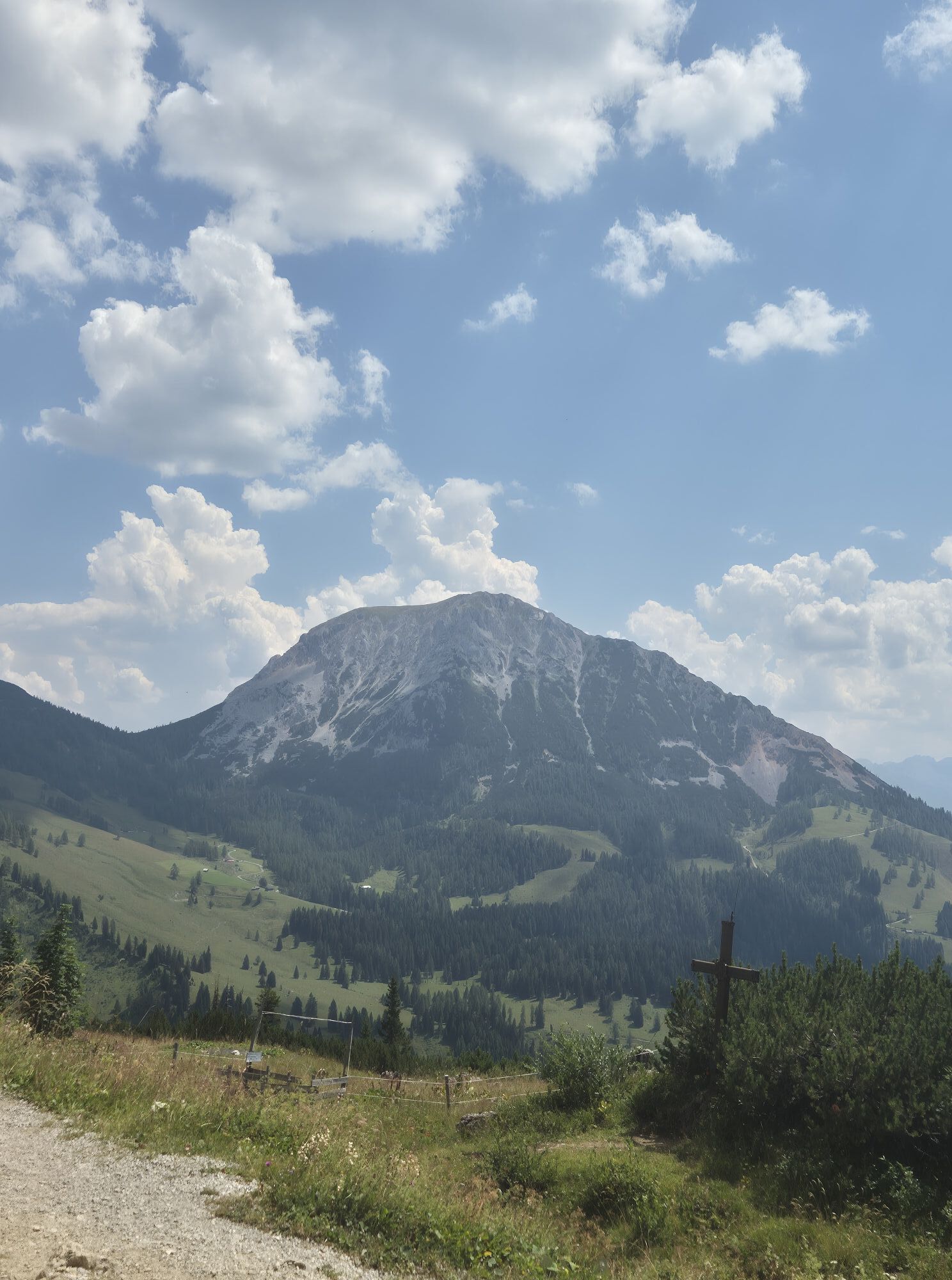
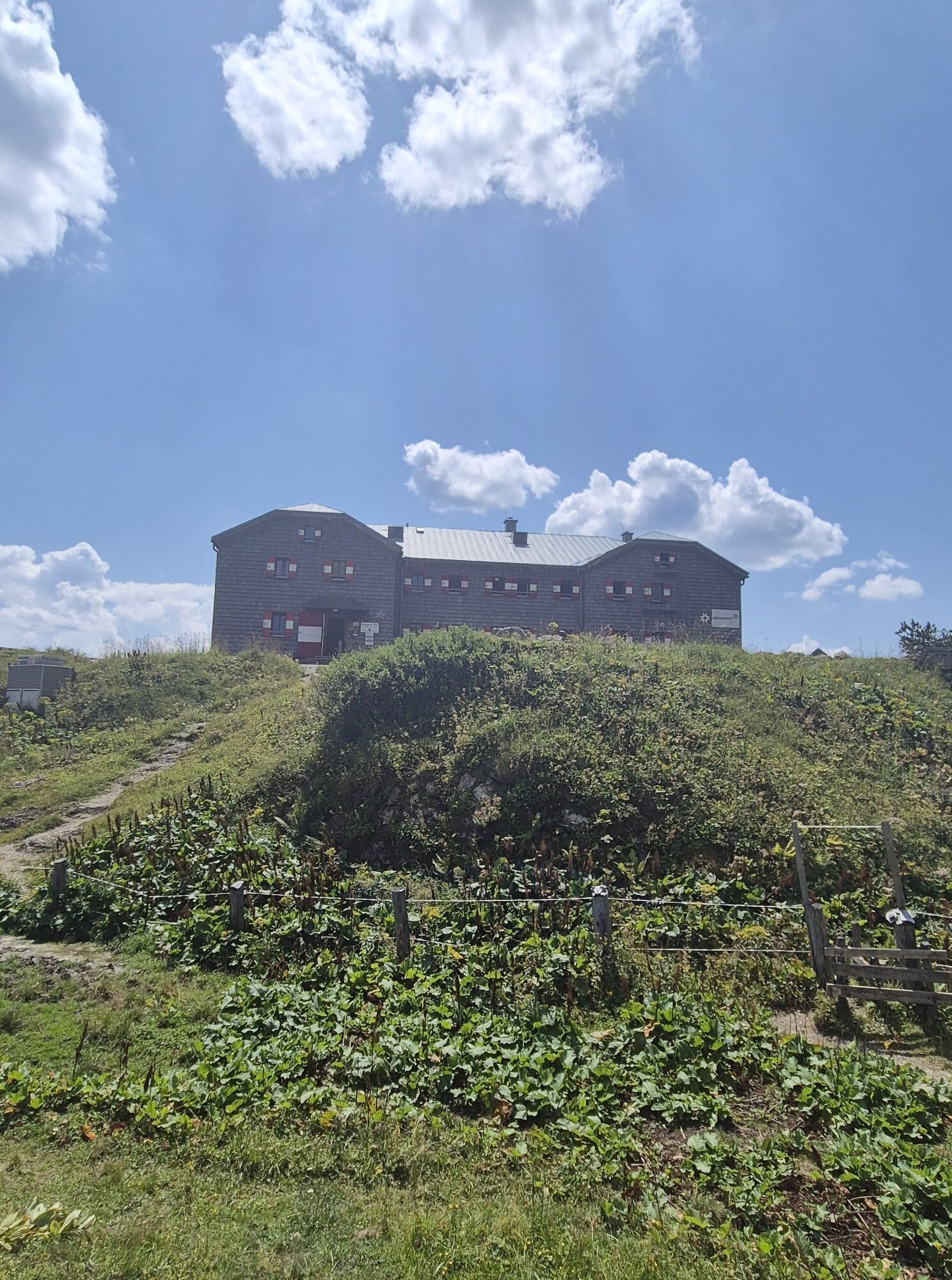
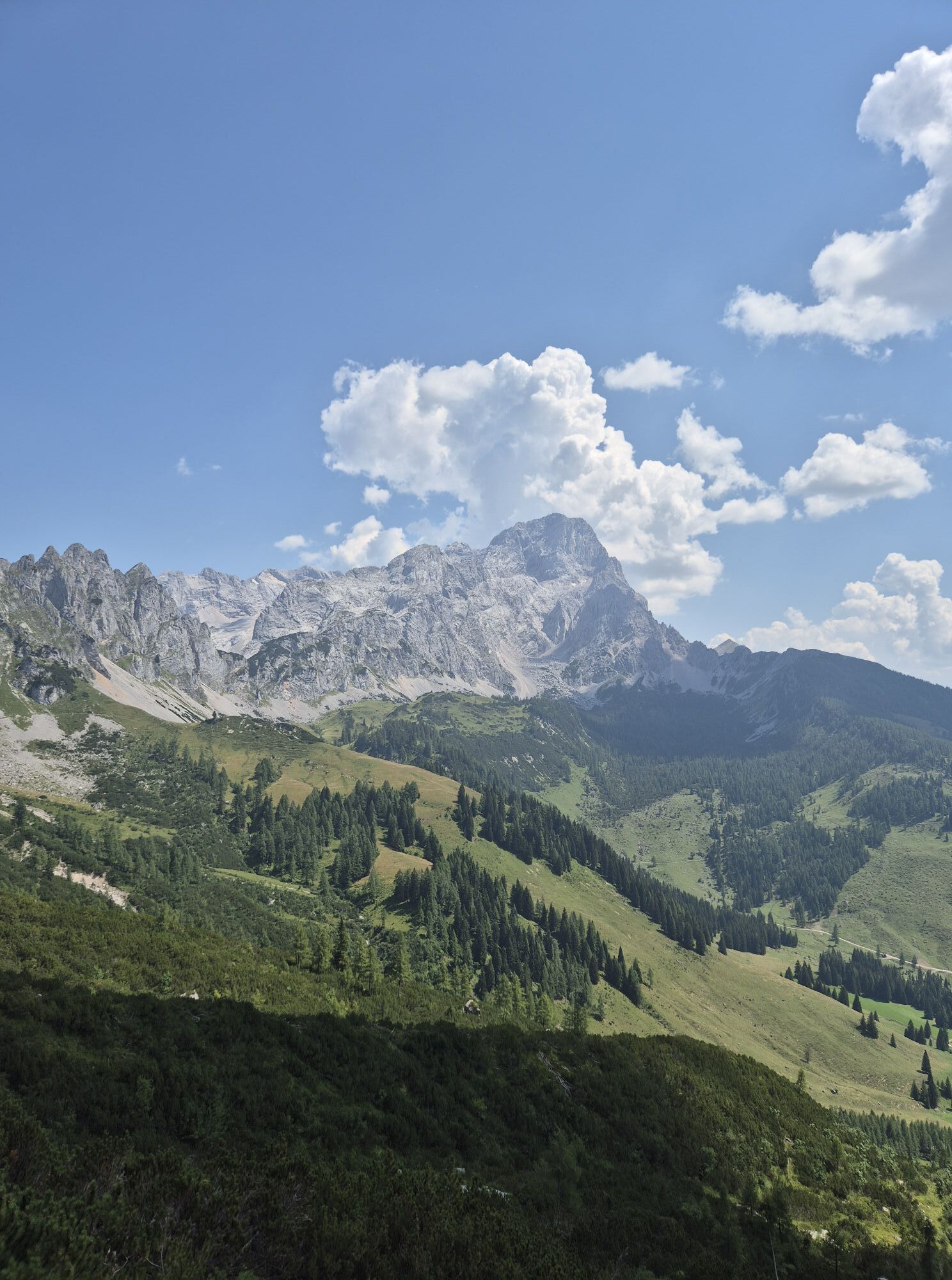
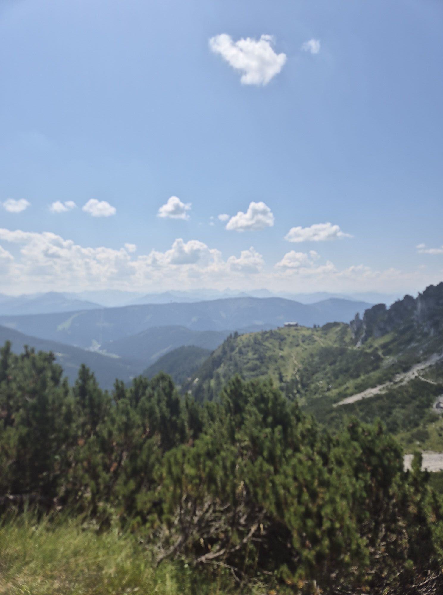
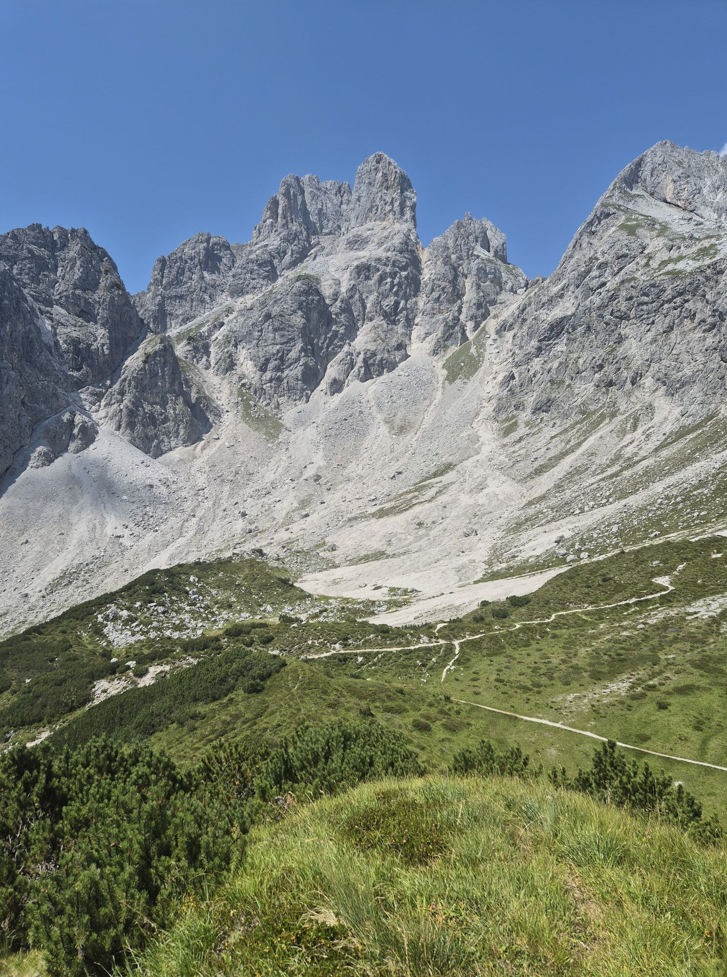
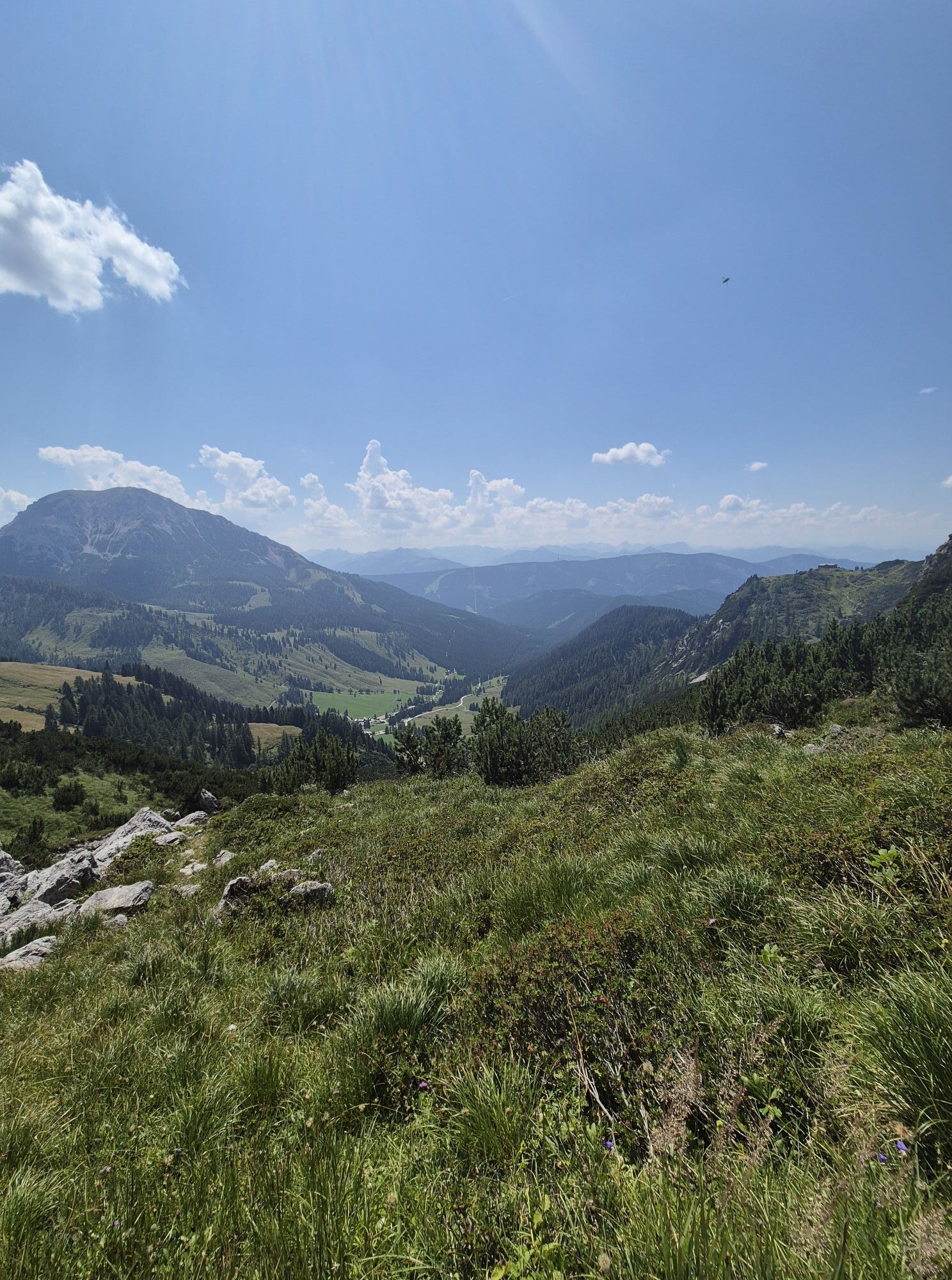
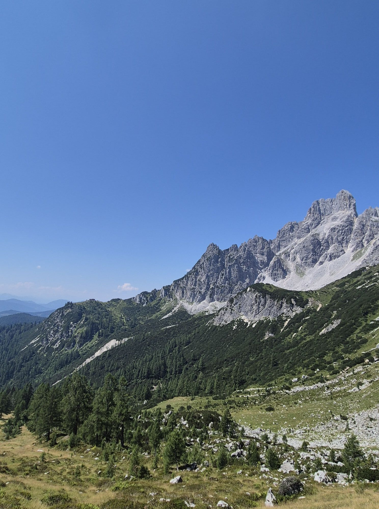
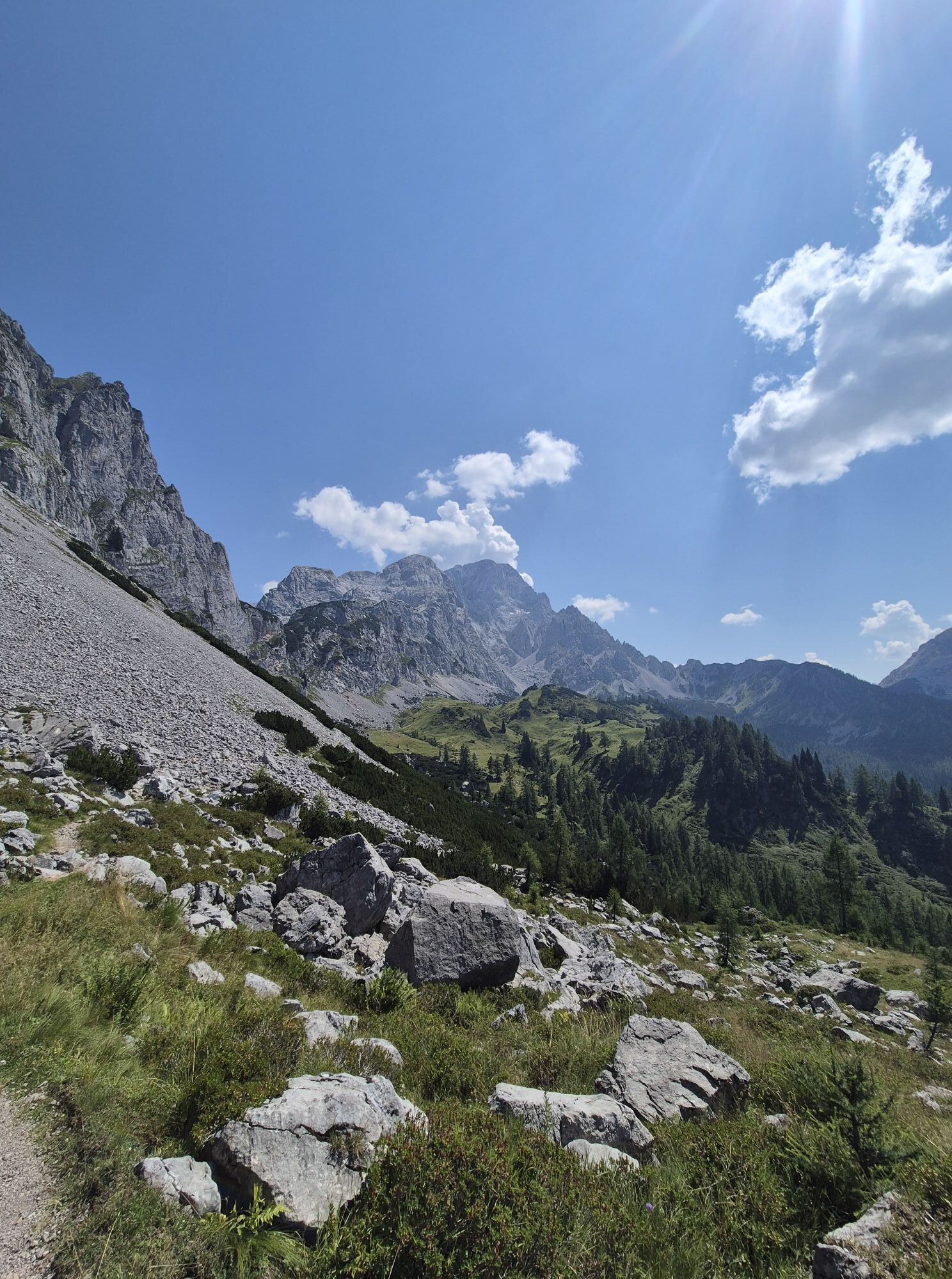
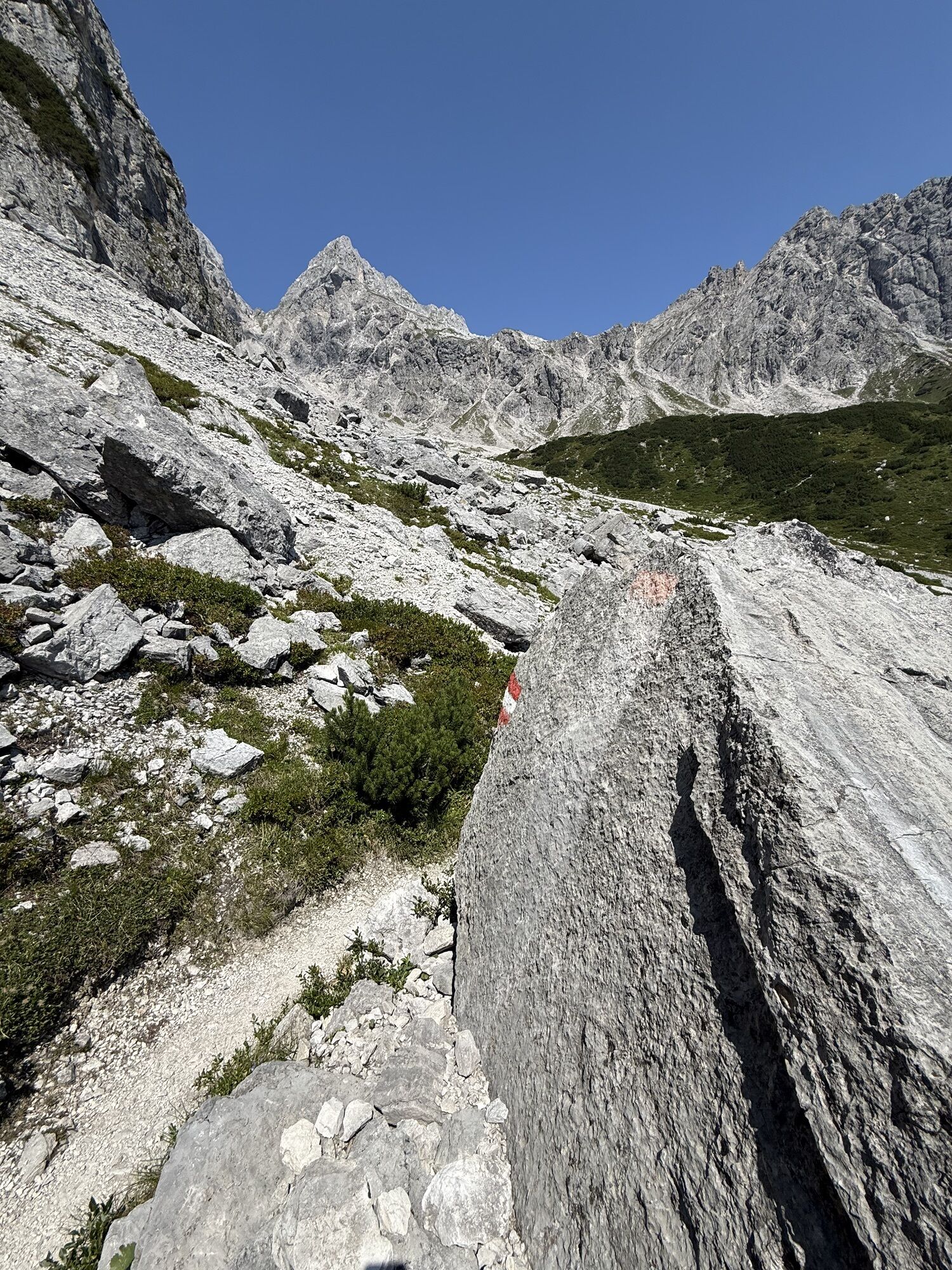
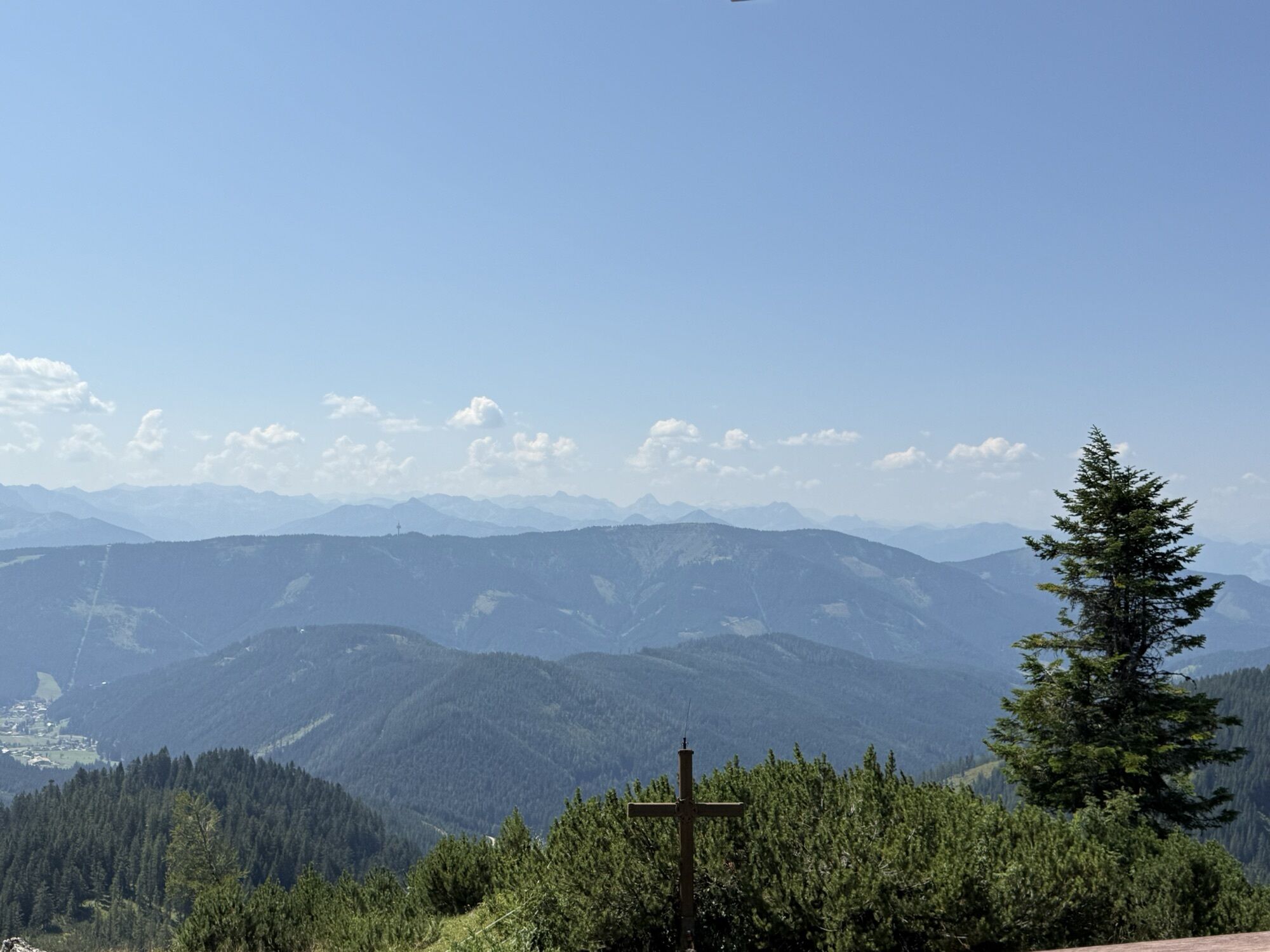
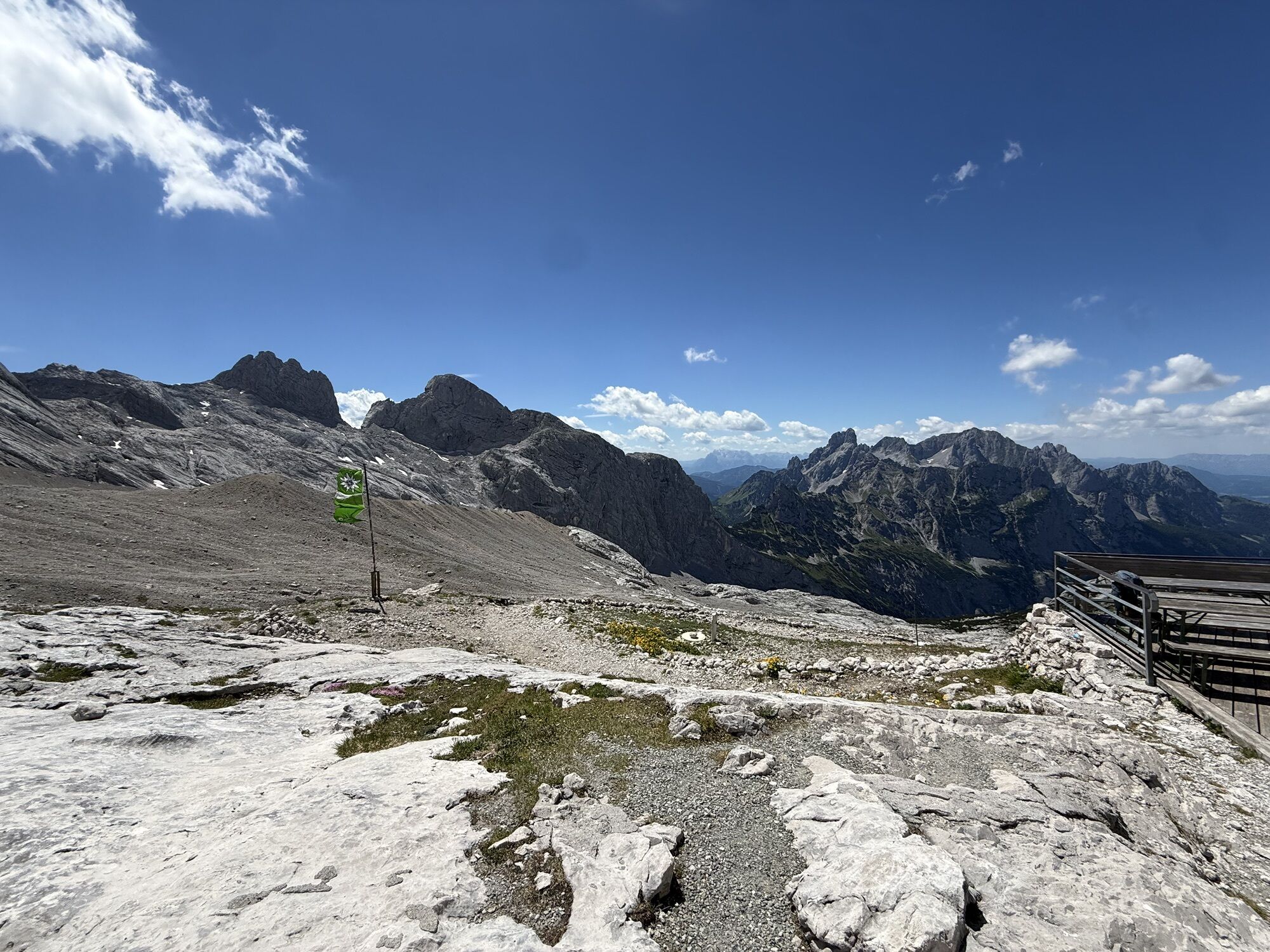
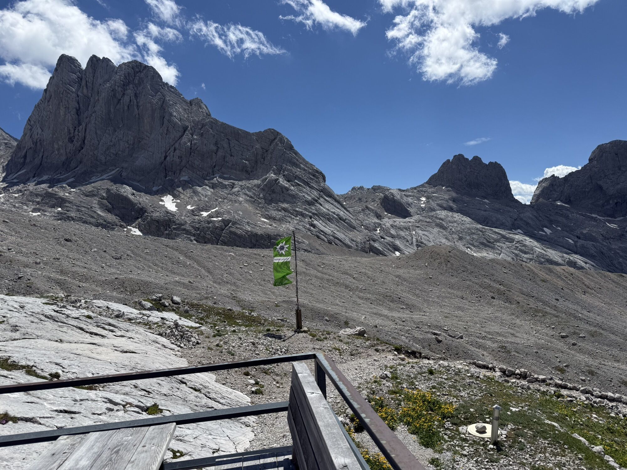
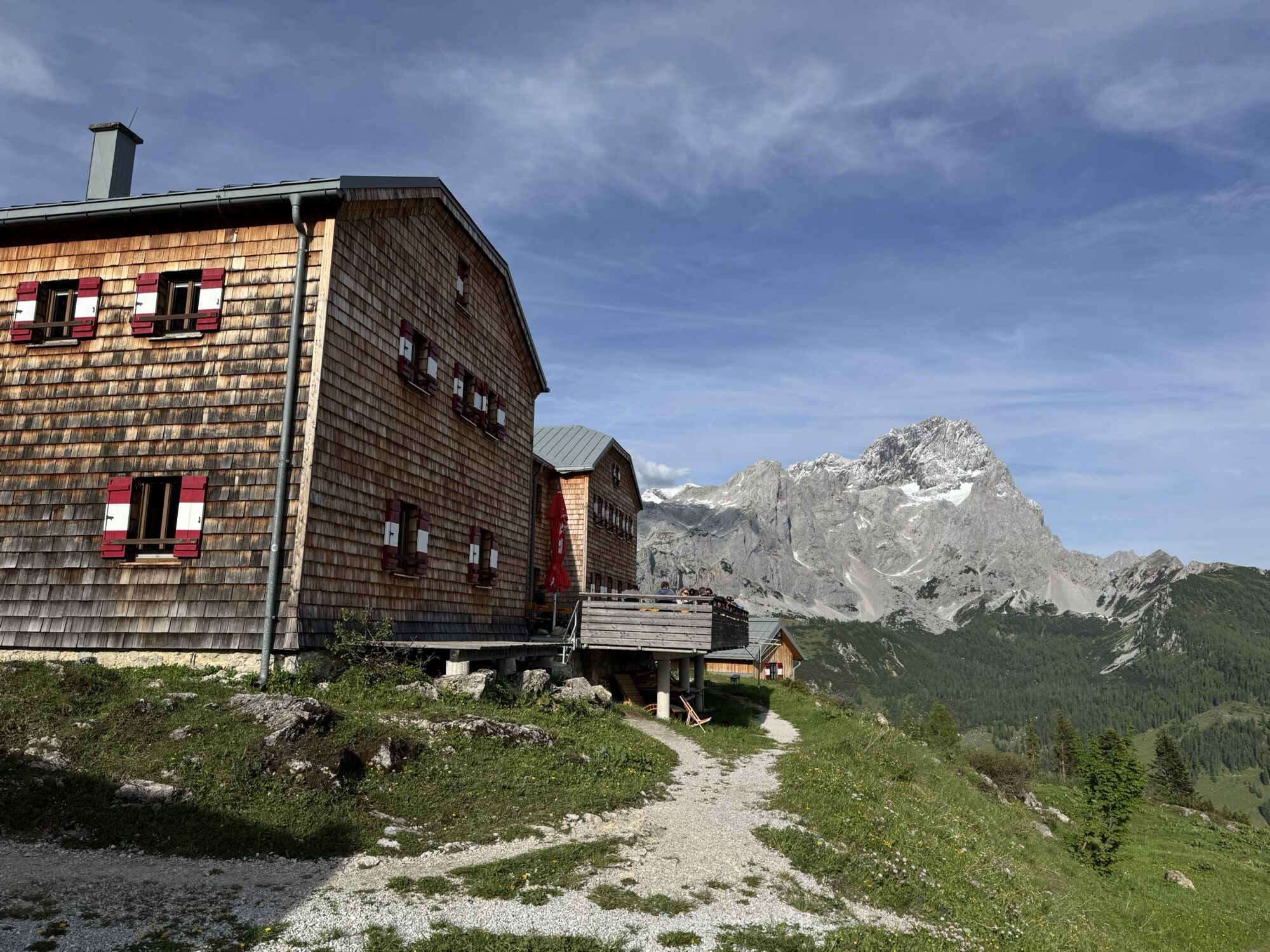
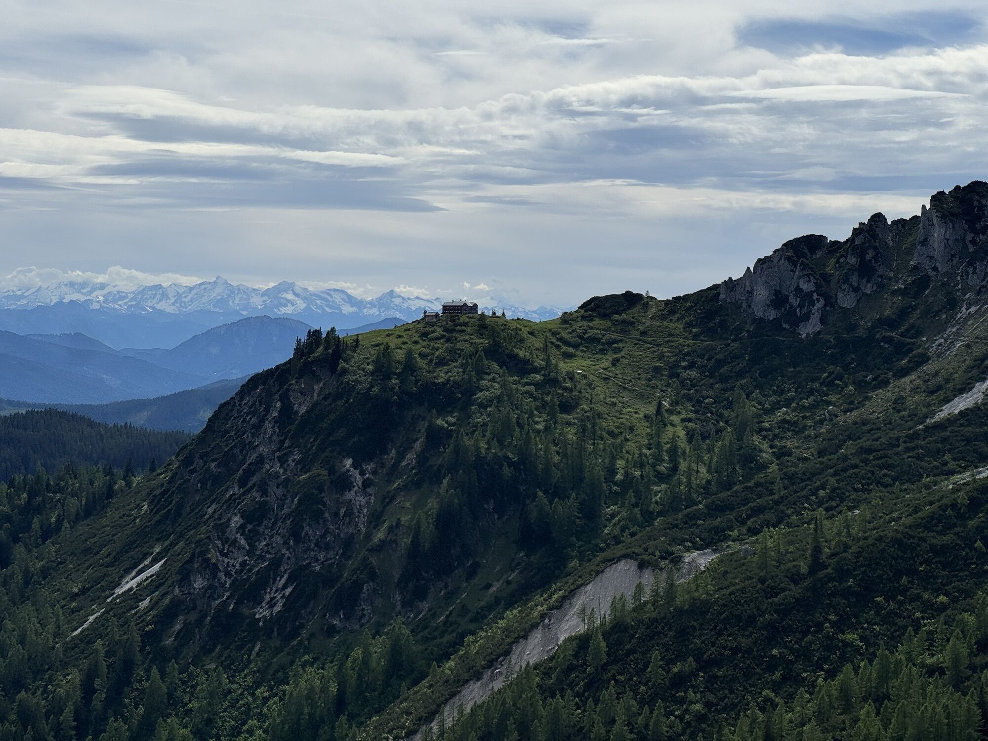
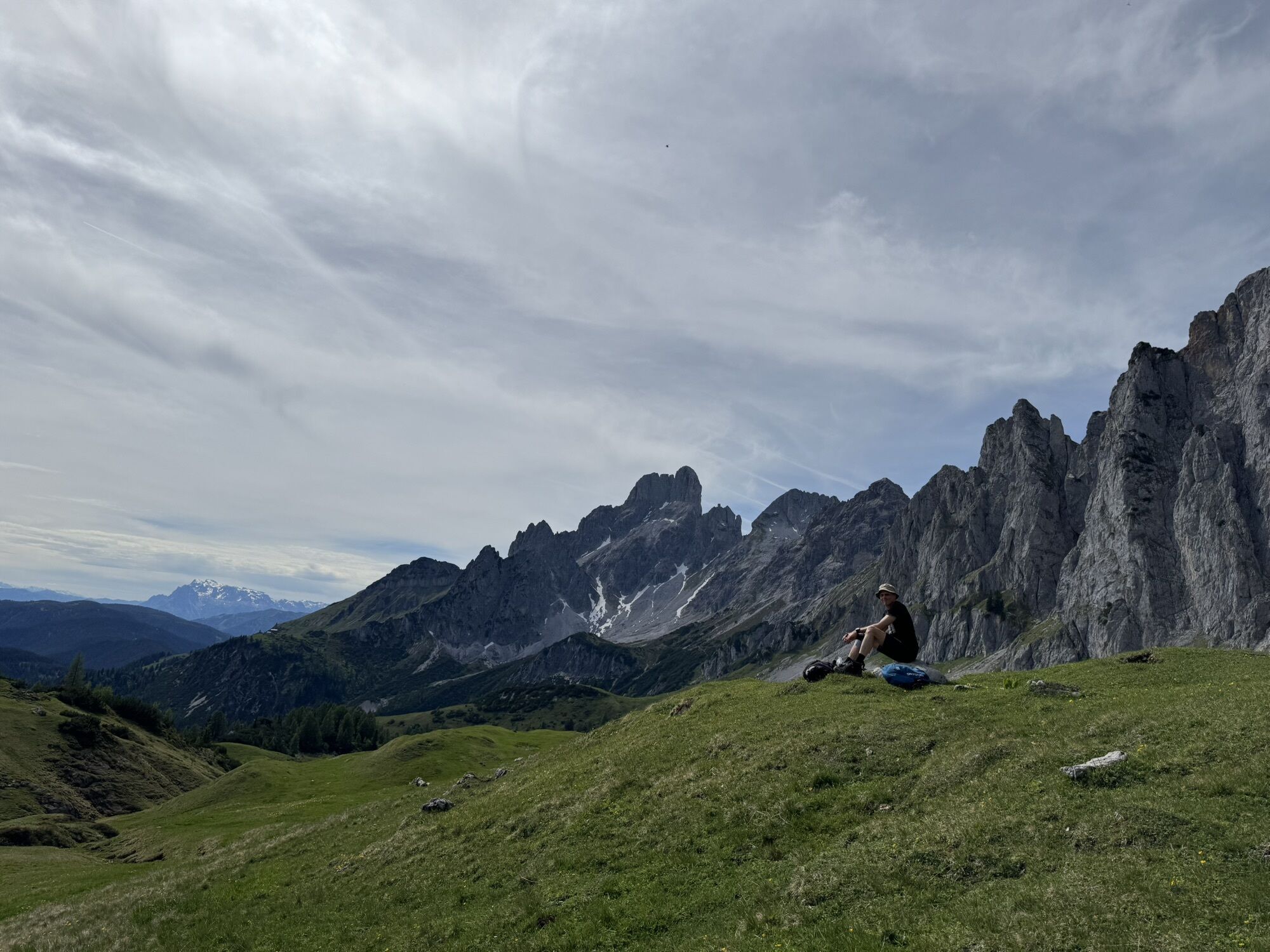
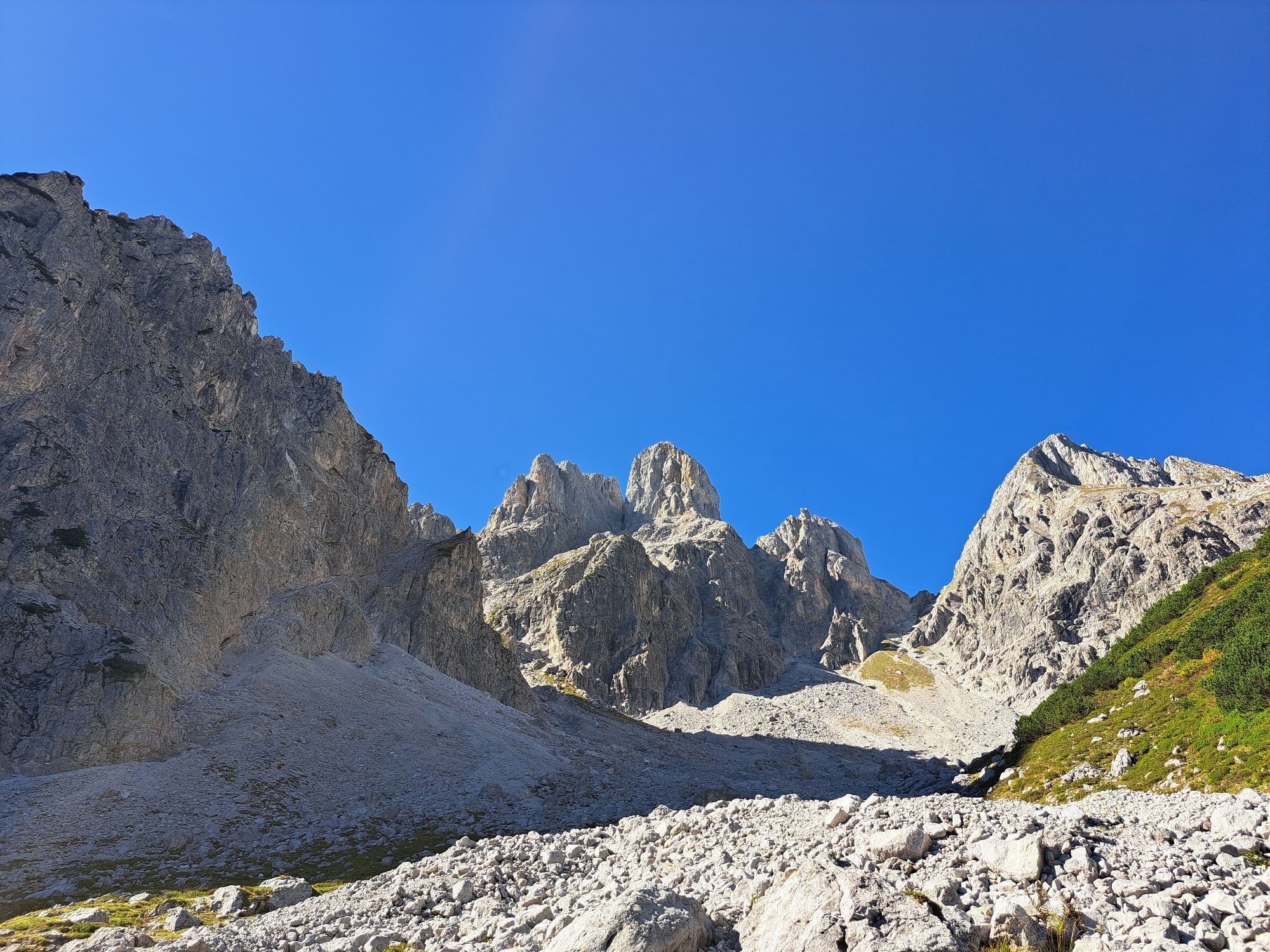
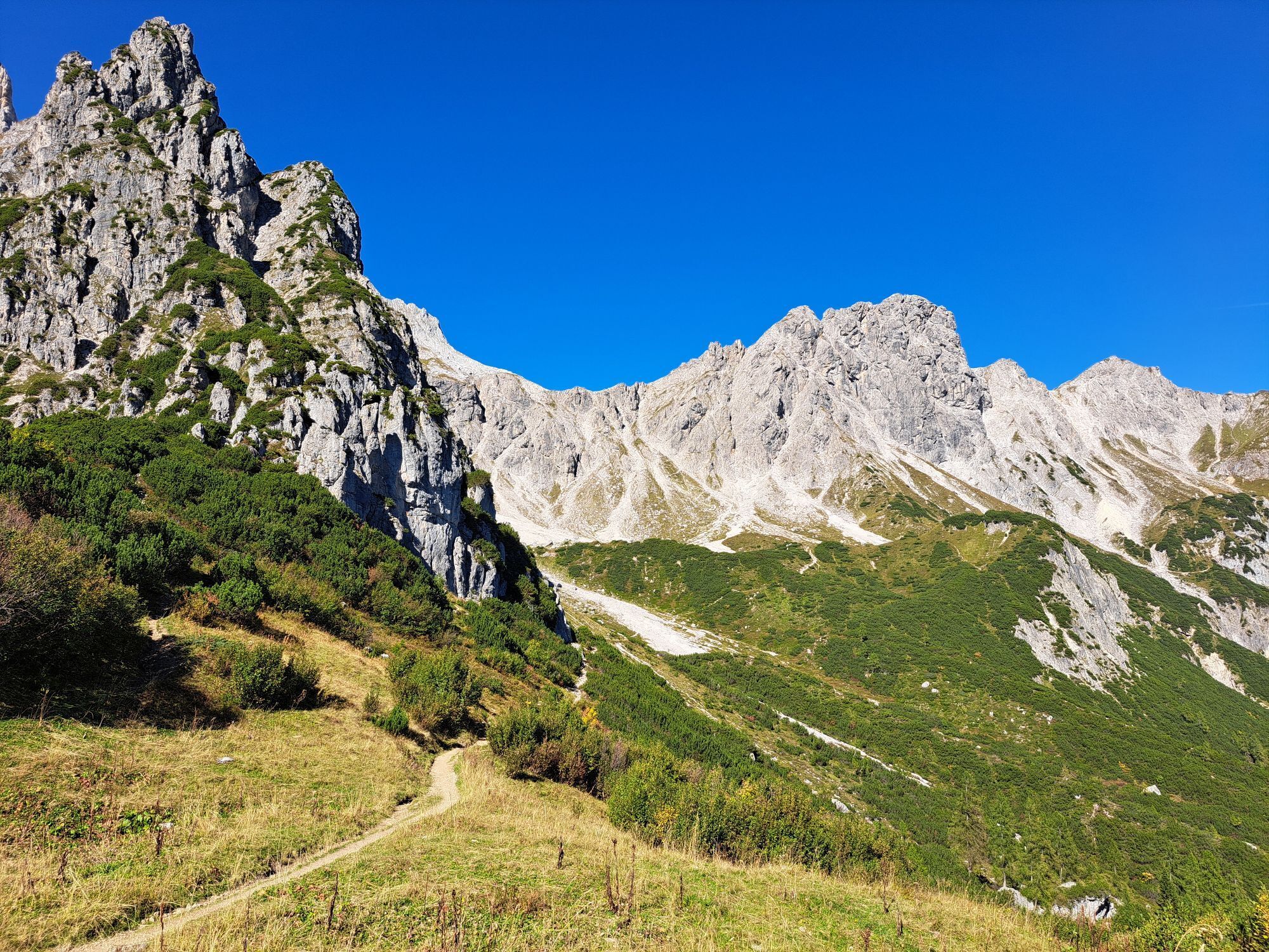
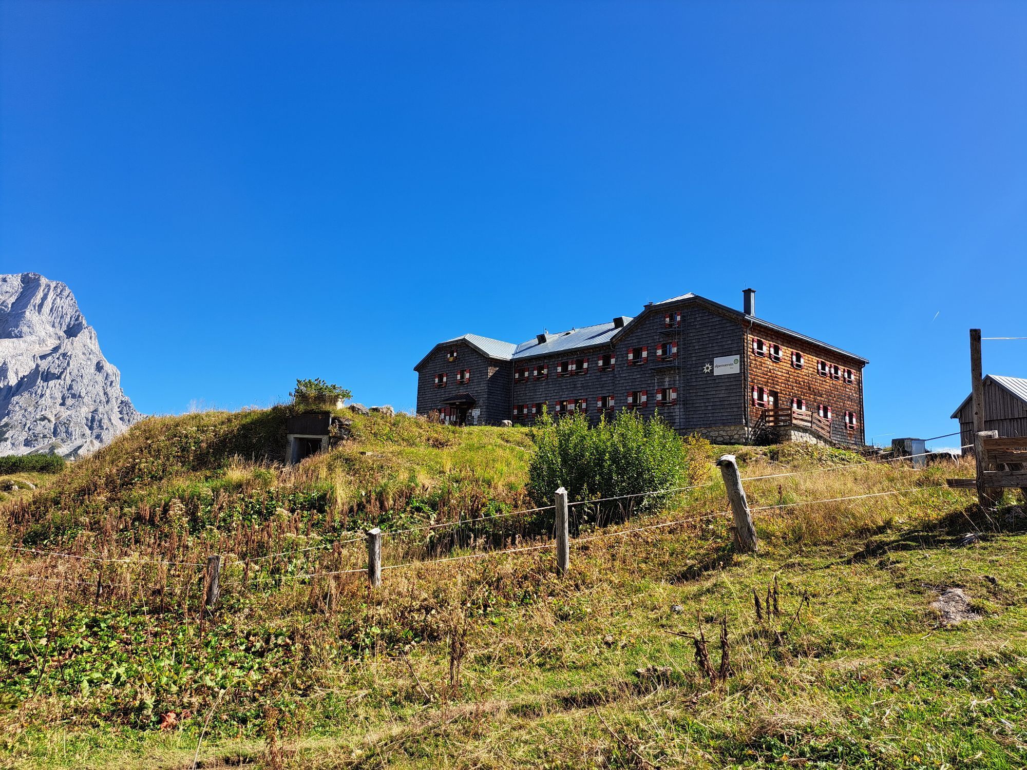

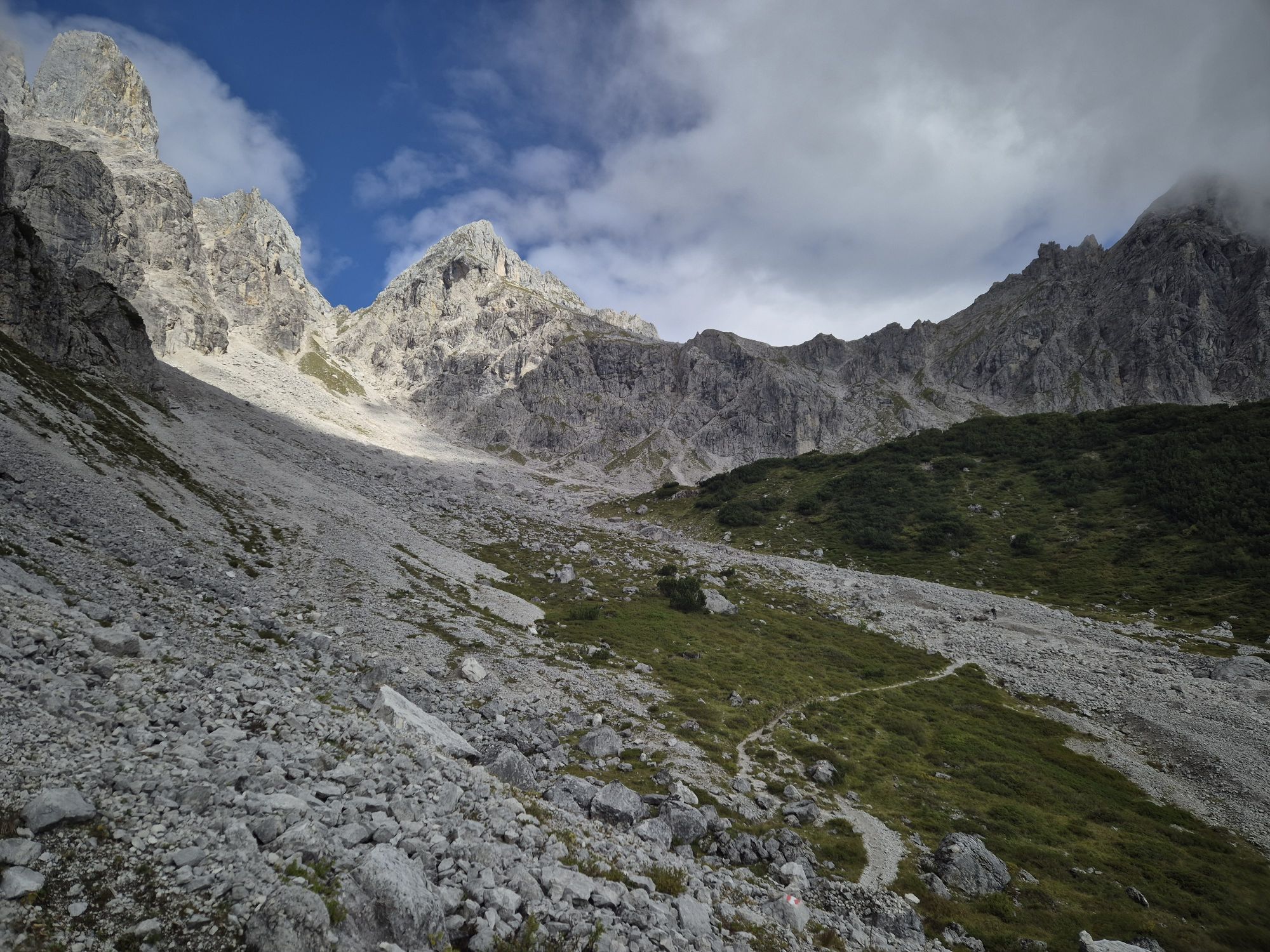
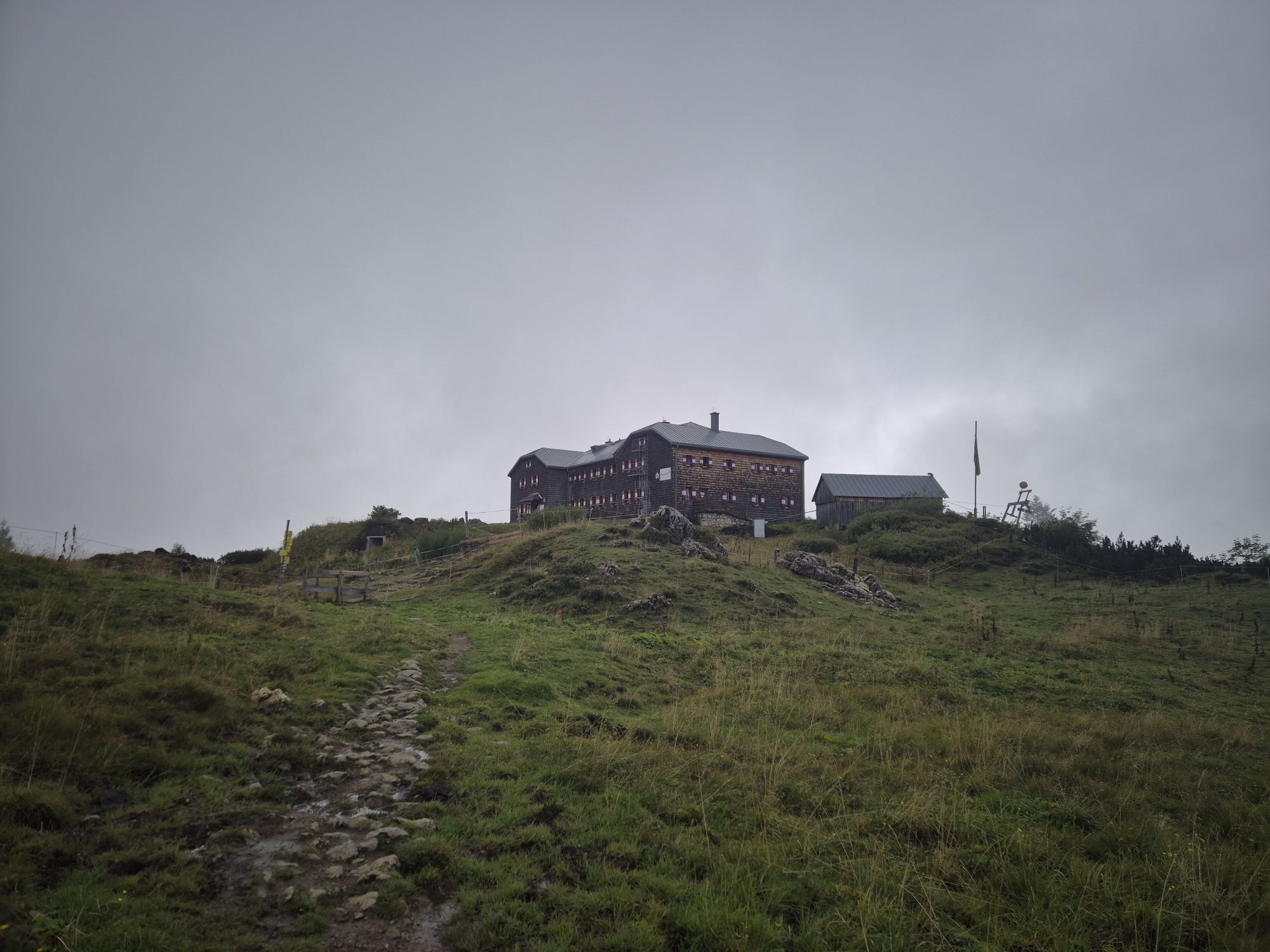
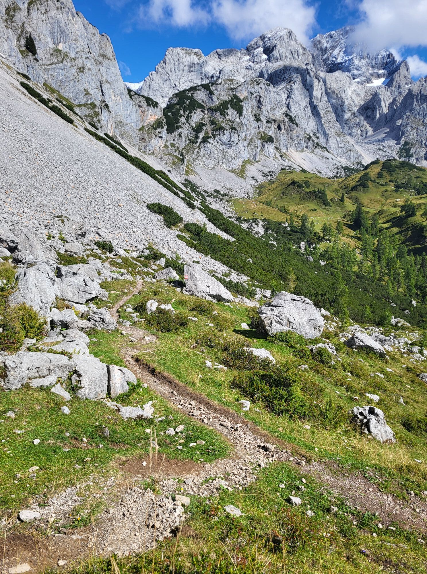
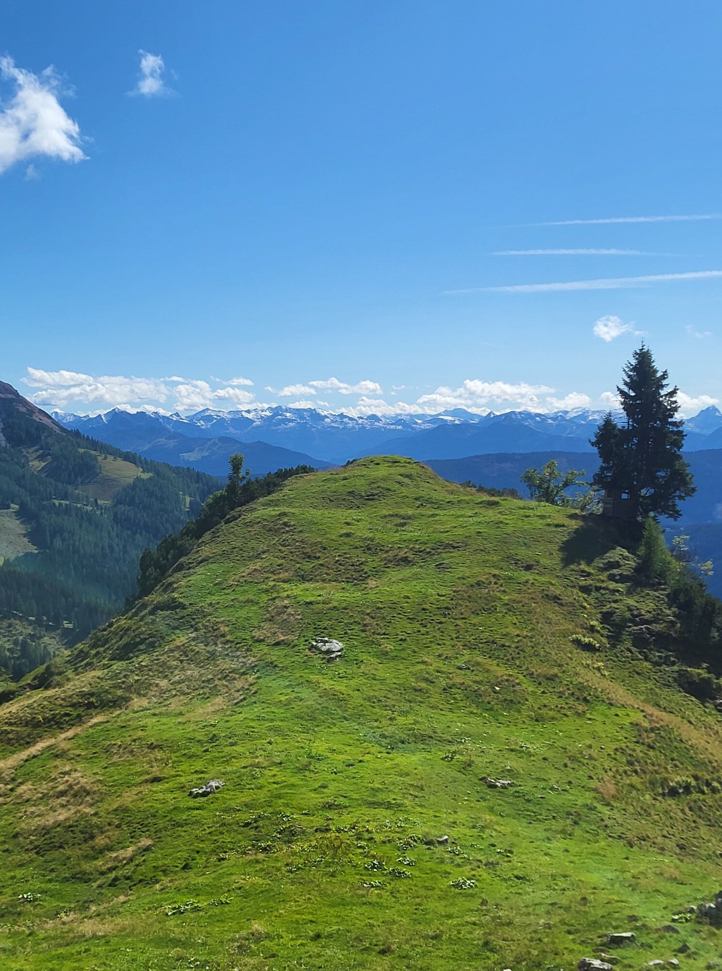
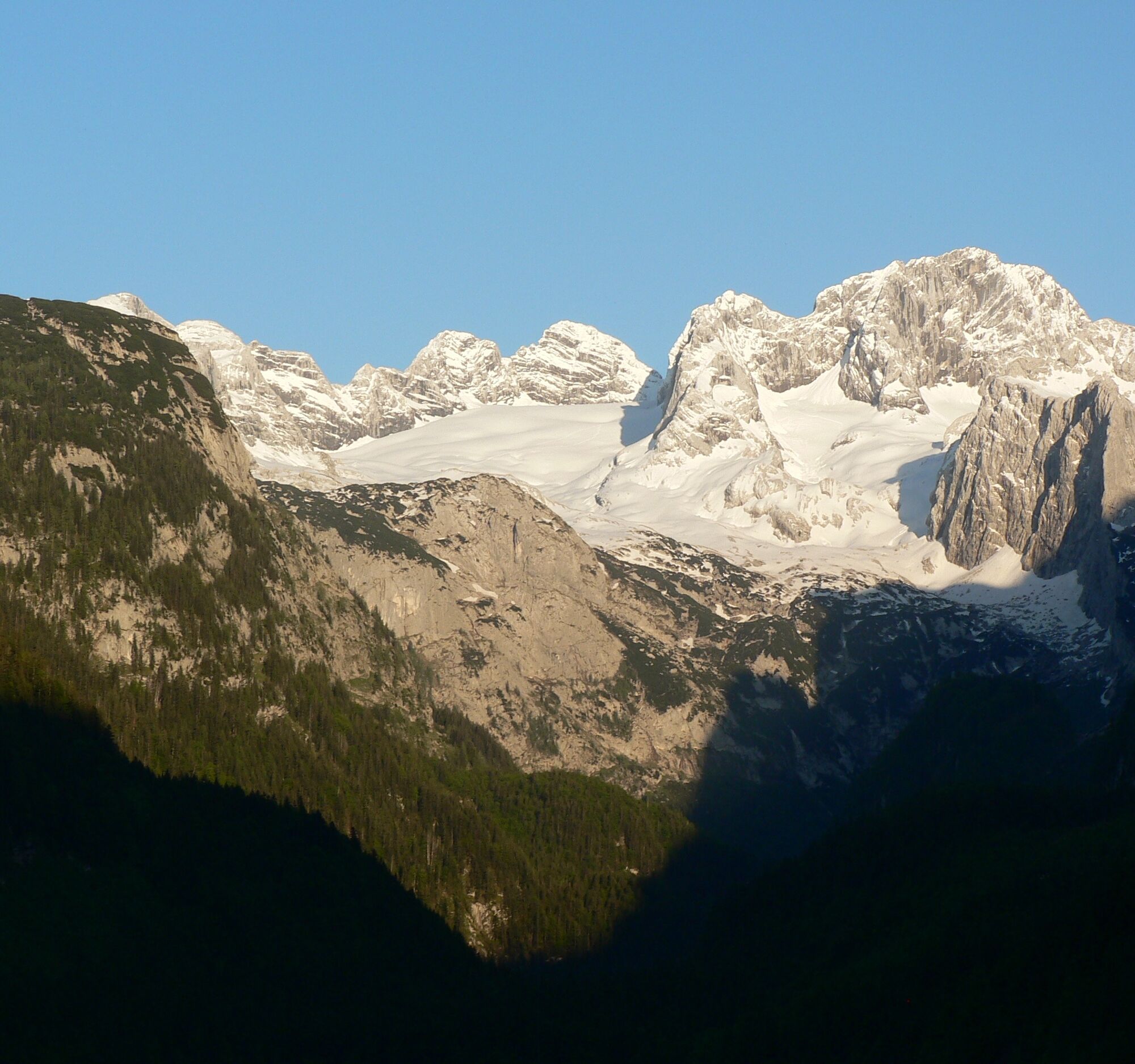
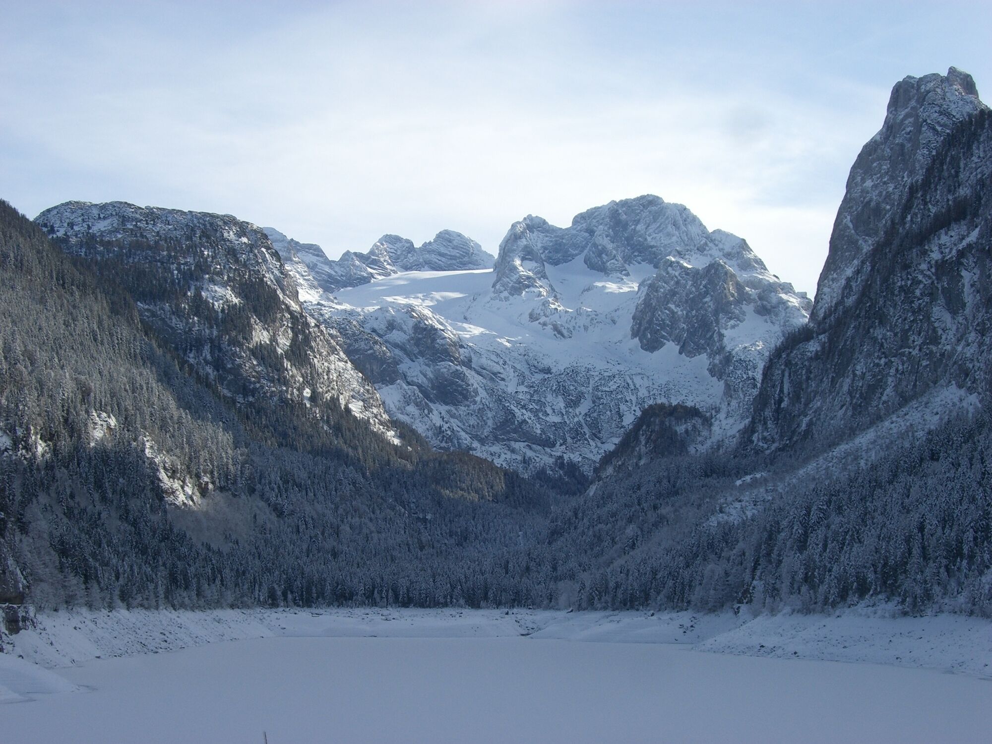
From the Adamekhütte, the trail leads across the glacial striations and moraines to the opposite side of the glacier cirque. The trail initially leads downhill, then changes to the rocky ramp and heads...
Opis
From the Adamekhütte, the trail leads across the glacial striations and moraines to the opposite side of the glacier cirque. The trail initially leads downhill, then changes to the rocky ramp and heads uphill again. It crosses below the Eiskarlspitz and the Hochkesselkopf, whereby the route is partly equipped with safety ropes. The trail leads to the Reißgang saddle and through the very steep Reißgang gorge, which can also be snow-covered in summer. After overcoming this dangerous section, you will have travelled around 5 hours. The last hour is a relatively leisurely walk to the Hofpürgelhütte.
Buy a special alpine hiking guide before embarking on this challenging tour!
Order hiking maps of the Dachstein Salzkammergut region ...
Experience a 360° panorama tour through Gosau valley…
Mountain rescue: 140
Buy a special alpine hiking guide before embarking on this challenging tour!
Order hiking maps of the Dachstein Salzkammergut region ...
Experience a 360° panorama tour through Gosau valley…
Mountain rescue: 140
Autor
Dostarczone przez Dachstein Salzkammergut
Wycieczkę Trail "Linzerweg" zapewnia outdooractive.com.


Nie ma jeszcze recenzji
Kamery internetowe z trasy

Wszystkie kamery internetowe na mapie
Zainstaluj aplikację za darmo i porównaj obrazy na żywo z kilku miejsc, zanim wyruszysz w drogę.
Skorzystaj już teraz z funkcji „ bergfex ” w aplikacji
Zeskanuj kod QR za pomocą aparatu
Po zainstalowaniu aplikacji treść otworzy się od razu. Jeśli jeszcze nie masz tej aplikacji, zostaniesz przekierowany do strony, z której możesz ją bezpłatnie pobrać.


Popularne wycieczki w okolicy
-
4,5
Ramsau am Dachstein: Steinerne Jungfrauen
Wędrówka 8,11 km -
4,8
Ramsau am Dachstein: Bergstation Dachstein-Seilbahn - Guttenberghaus - Ramsau
średniWędrówka 14,4 km -
4,4
Heilbronner Rundwanderweg
światłoWędrówka 9,04 km -
4,4
Filzmoos: Rötelstein (Rettenstein)
Wędrówka 9,50 km -
3,8
Ostuferwanderweg
światłoWędrówka 16,2 km -
4,8
Tour around the Gosaukamm
średniWędrówka 20,9 km -
4,8
Tor-Wanderung
ciężkiWędrówka 14,2 km -
4,7
Tour around the Lake Gosau
światłoWędrówka 4,43 km -
4,8
Rossbrand über Bürgerbergalm (462)
Wędrówka 10,8 km -
4,6
Adamekhütte vom Vorderen Gosausee
średniWędrówka 23,2 km
Wędrówki i tropienie

Ponad 550.000 propozycji wycieczek, szczegółowe mapy i intuicyjny planer tras sprawiają, że aplikacja jest niezbędna dla wszystkich entuzjastów przyrody.

Nie przegap ofert i inspiracji na następne wakacje
Zapisz się do newslettera
Błąd
Wystąpił błąd. Spróbuj ponownie.
Dziękujemy za rejestrację
Twój adres e-mail została dodana do listy mailingowej.
Wycieczki po całej Europie
Austria
Szwajcaria
Niemcy
Włochy
Słowenię
Francja
Holandia
Belgia
Polska
Liechtenstein
Czechy
Słowacja
Hiszpania
Chorwacja
Bośnia i Hercegowina
Luksemburg
Andorra
Portugalia
Islandia
Wielka Brytania
Irlandia
Grecja
Albania
Macedonia Północna
Malta
Norwegia
Czarnogóra
Mołdawia
Kosowo
Węgry
San Marino
Rumunia
Estonia
Łotwa
Białoruś
Cypr
Litwa
Serbia
Bułgaria
Monako
Dania
Szwecja
Finlandia





