
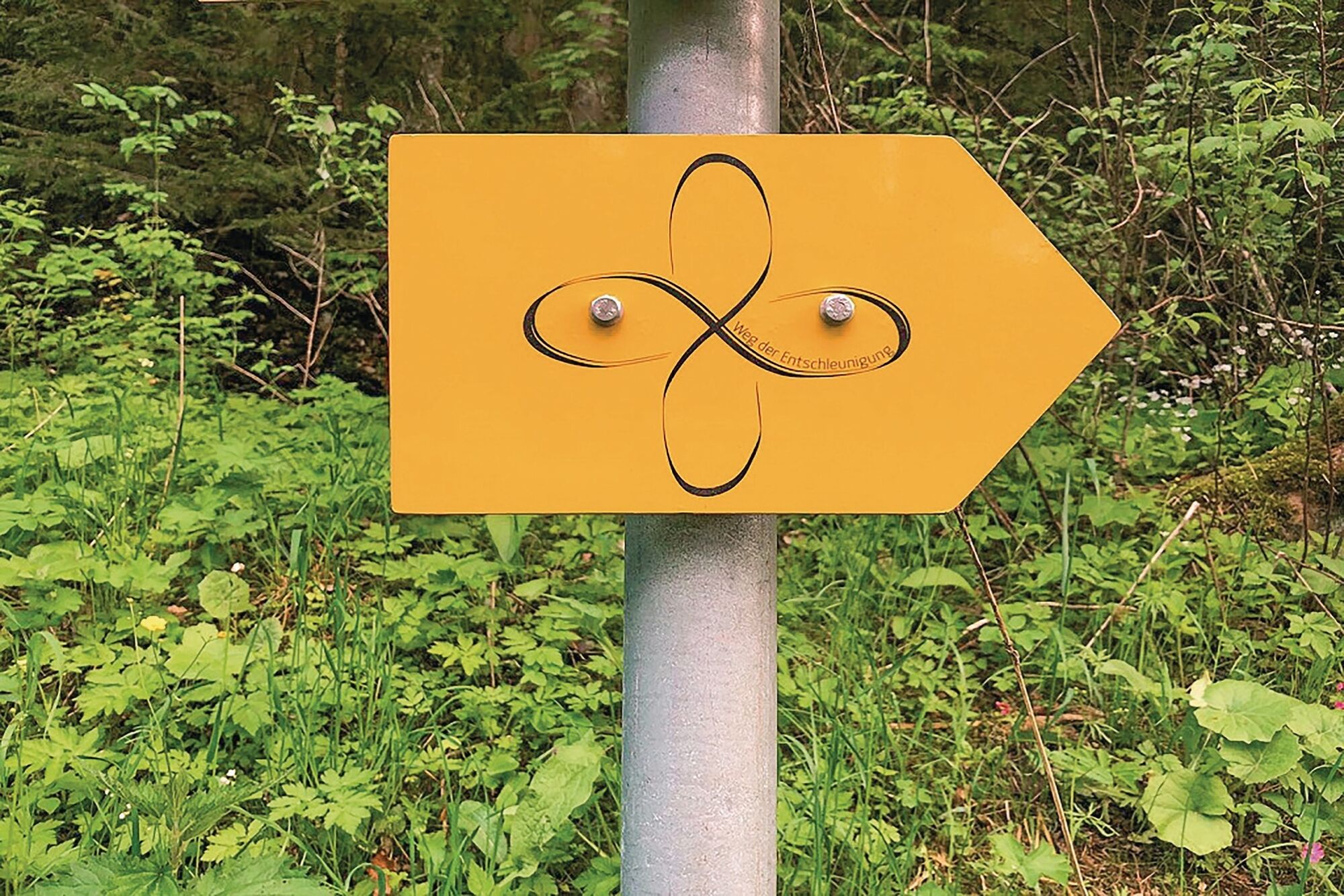
On the way to deceleration: discover special features in 4 days on 78 km
średni
Pobierz tę trasę na swój telefon komórkowy
On the way to deceleration: discover special features in 4 days on 78 km
średni
Wędrówka
78,09
km
Zeskanuj kod QR i rozpocznij nawigację w aplikacji bergfex.


Wędrówki i tropienie



On the way to deceleration: discover special features in 4 days on 78 km
średni
Odległość
78,1
km
Czas trwania
22:20
h
Ascent
1 811
hm
Poziom morza
488 -
878
m

Nawiguj po trasie w aplikacji
Zainstaluj aplikację za darmo i śledź trasę dzięki nawigacji GPS i funkcji śledzenia.
Skorzystaj już teraz z funkcji „ bergfex ” w aplikacji
Zeskanuj kod QR za pomocą aparatu
Po zainstalowaniu aplikacji treść otworzy się od razu. Jeśli jeszcze nie masz tej aplikacji, zostaniesz przekierowany do strony, z której możesz ją bezpłatnie pobrać.
Ścieżka do pobrania
On the way to deceleration: discover special features in 4 days on 78 km
średni
Wędrówka
78,09
km
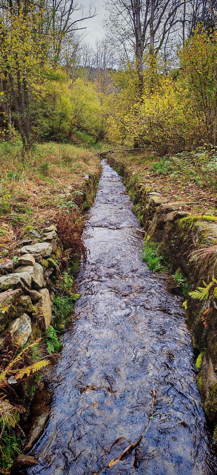
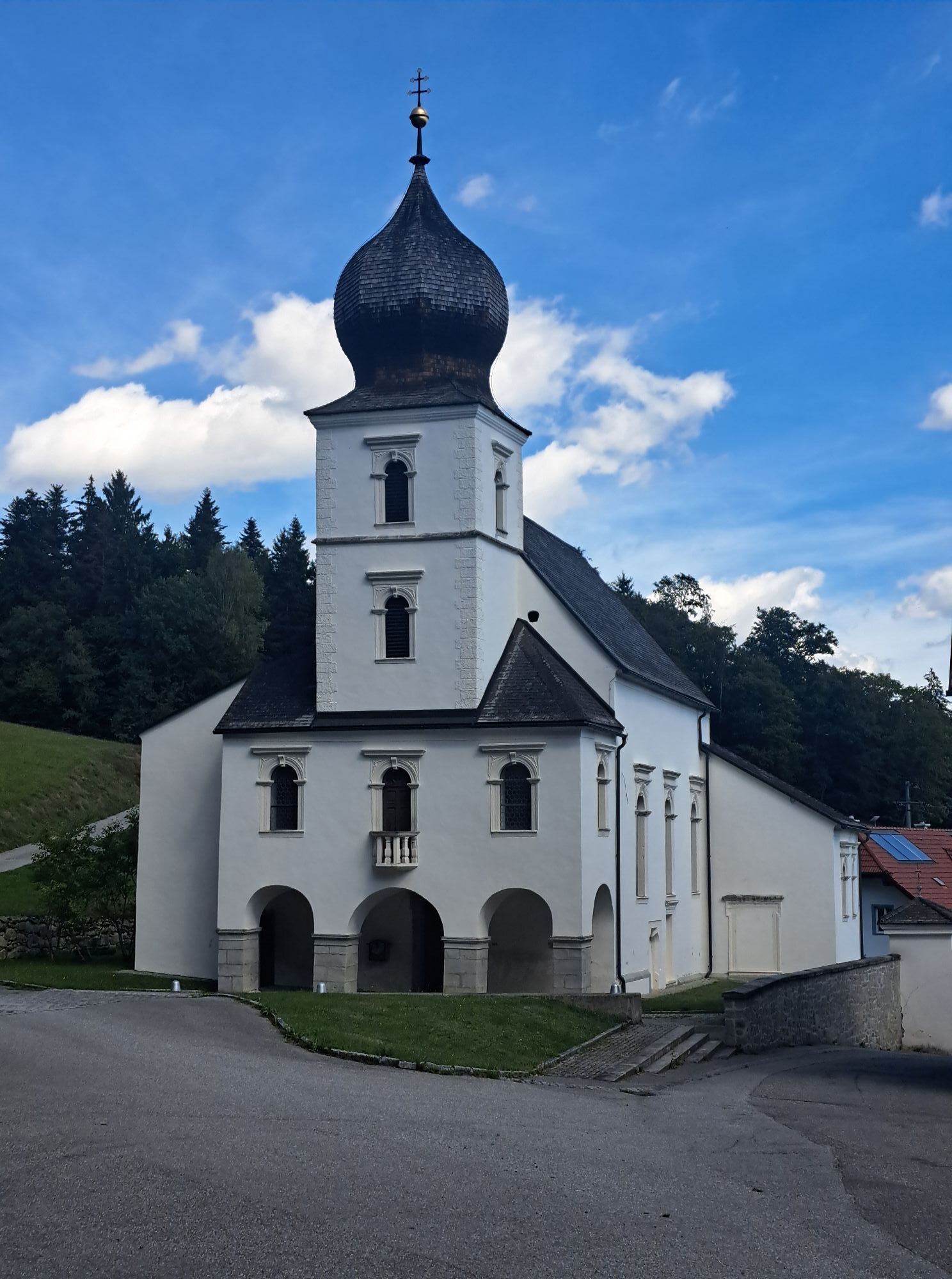
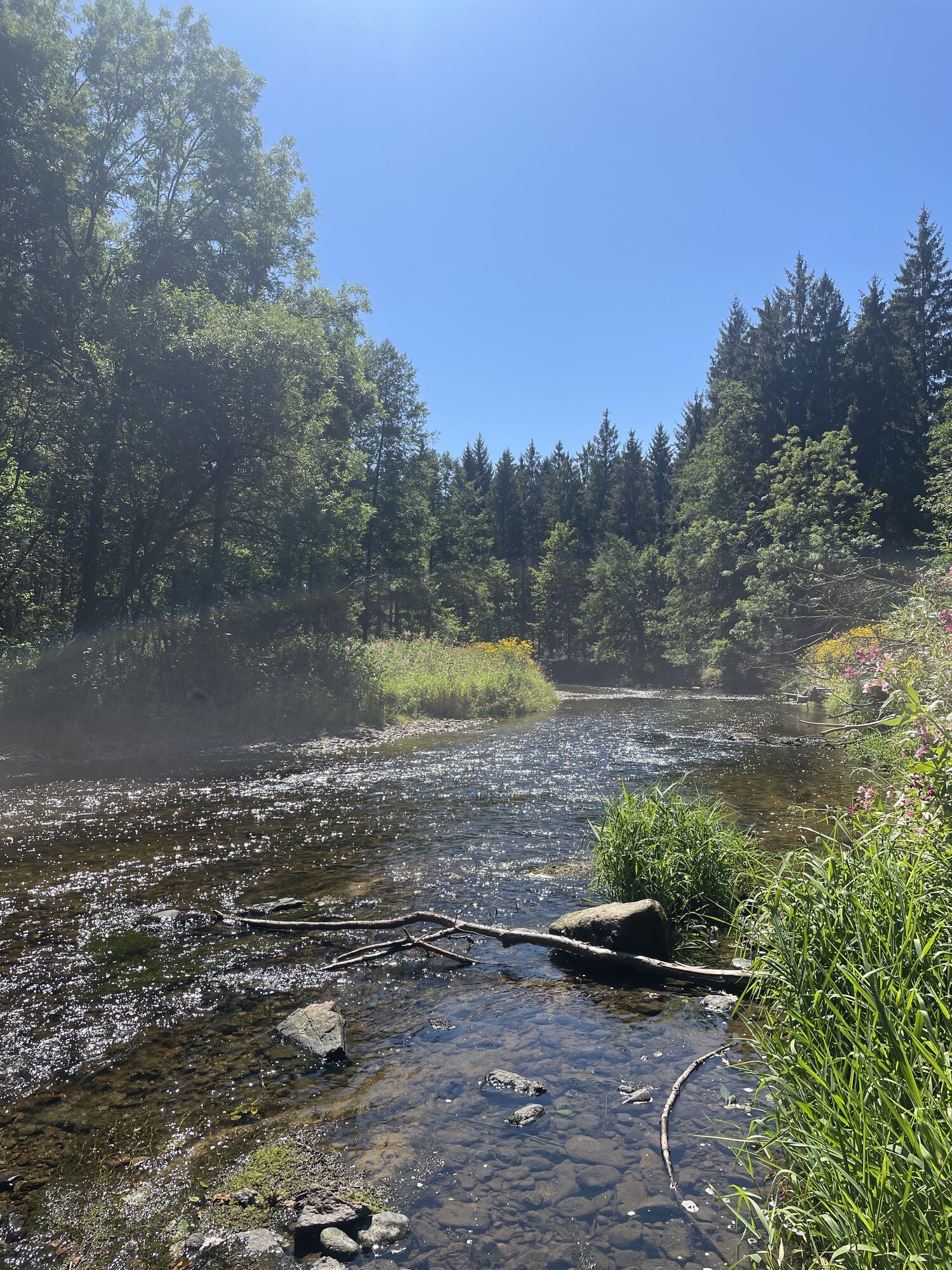
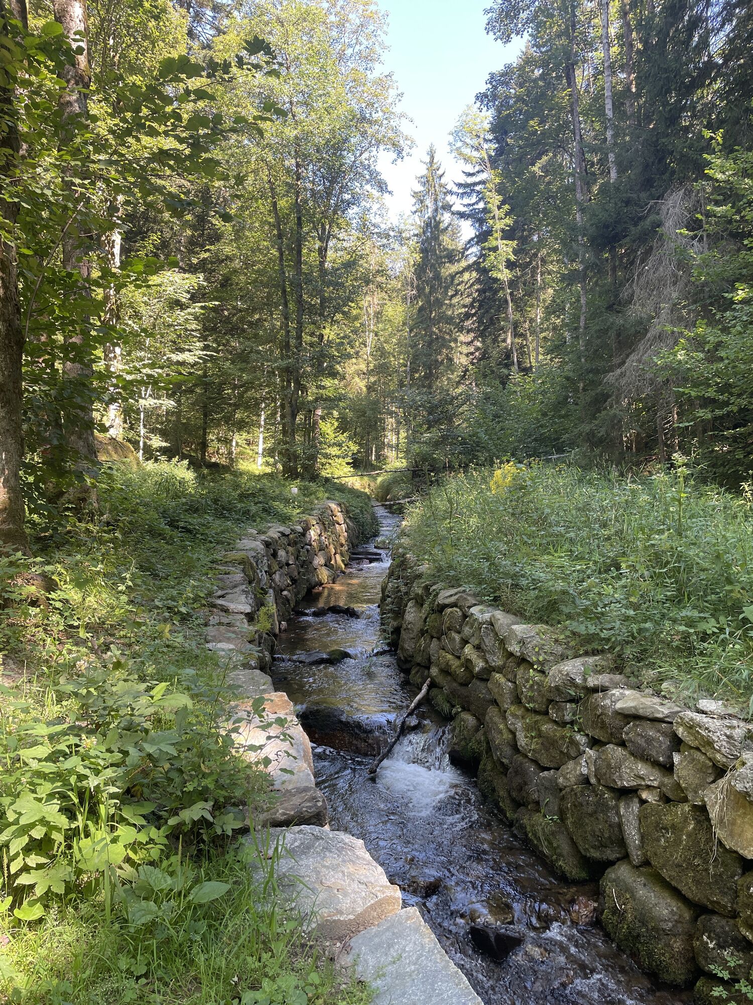
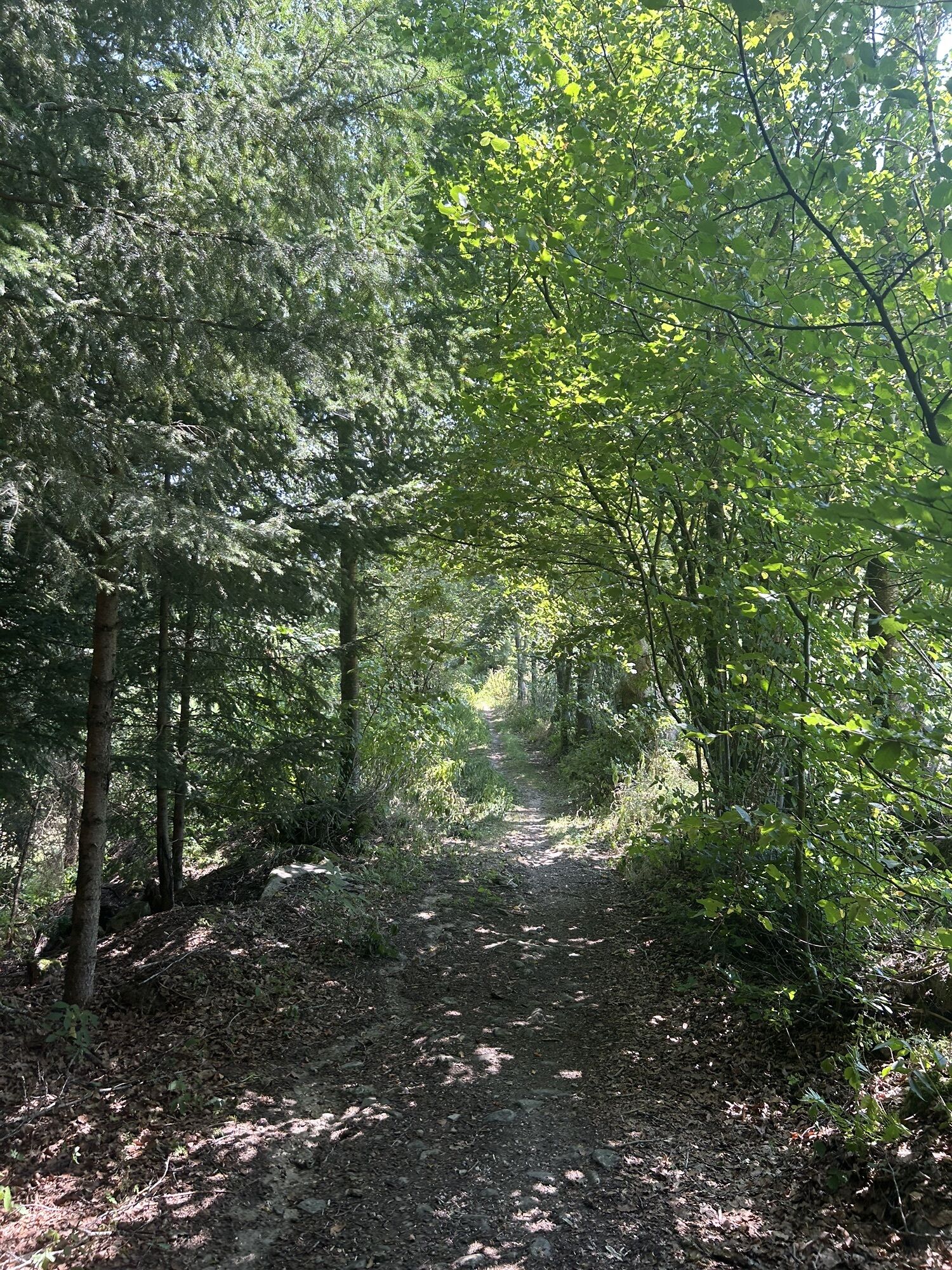
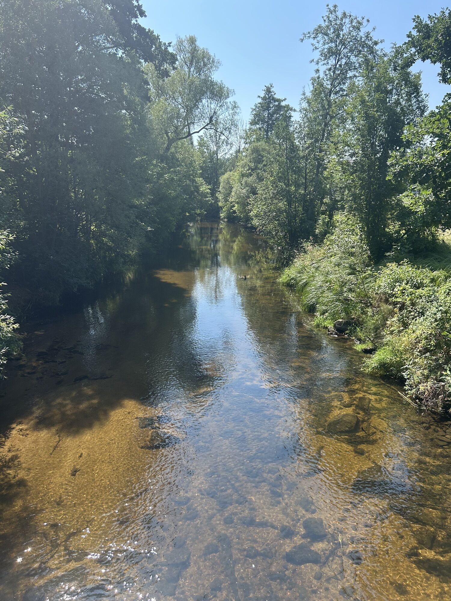
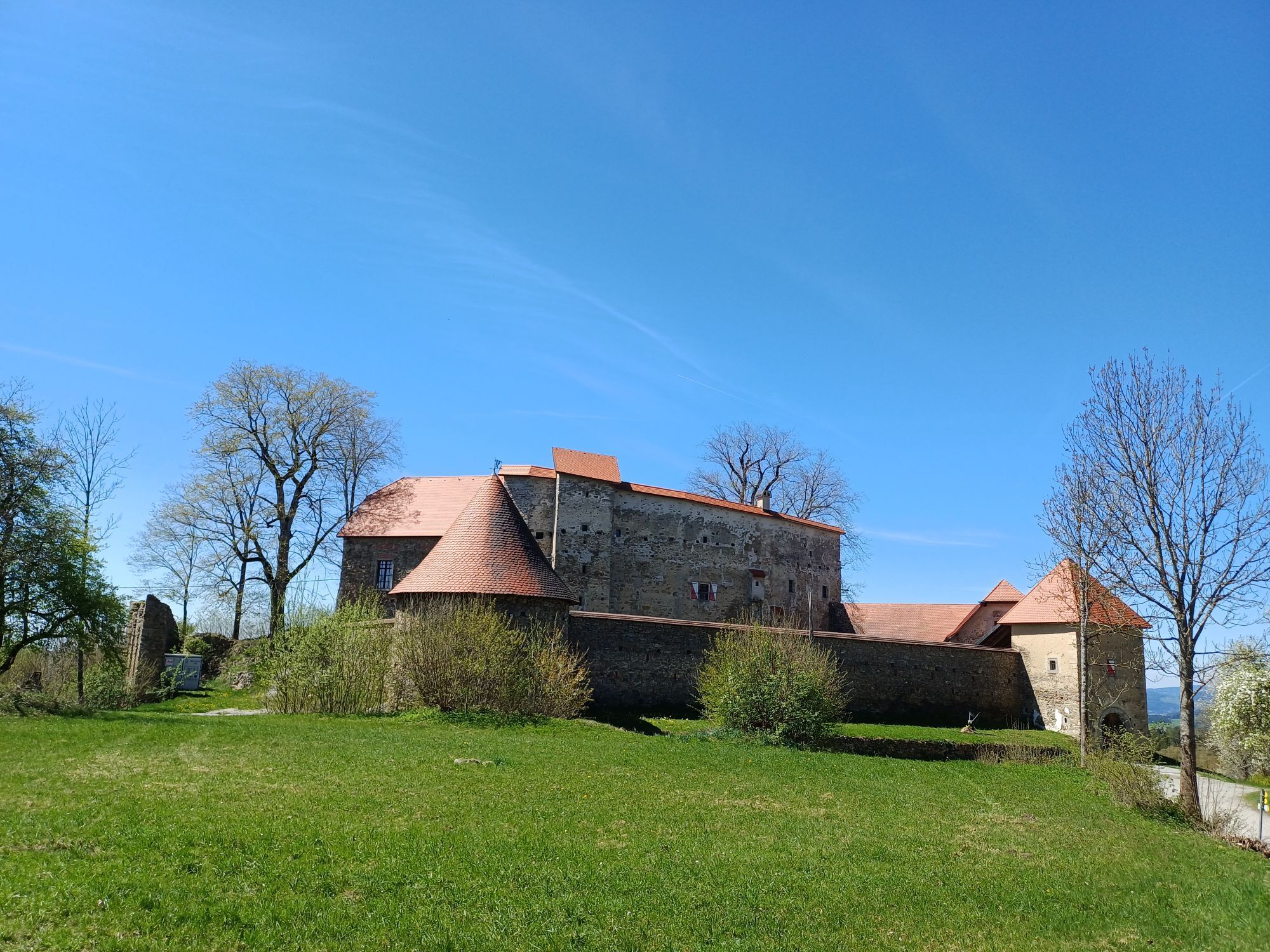


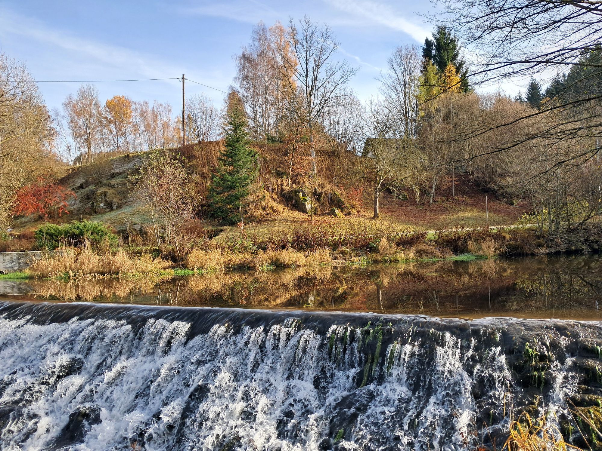

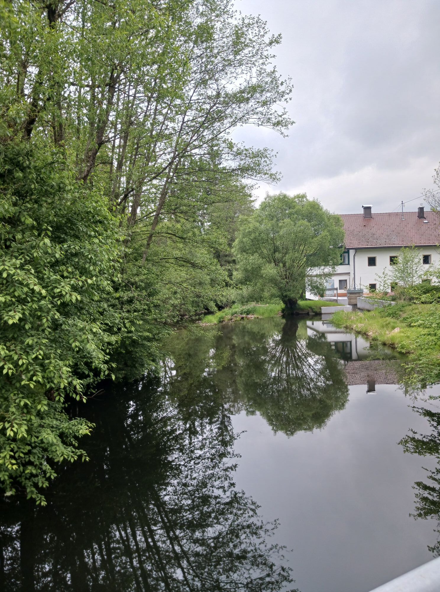


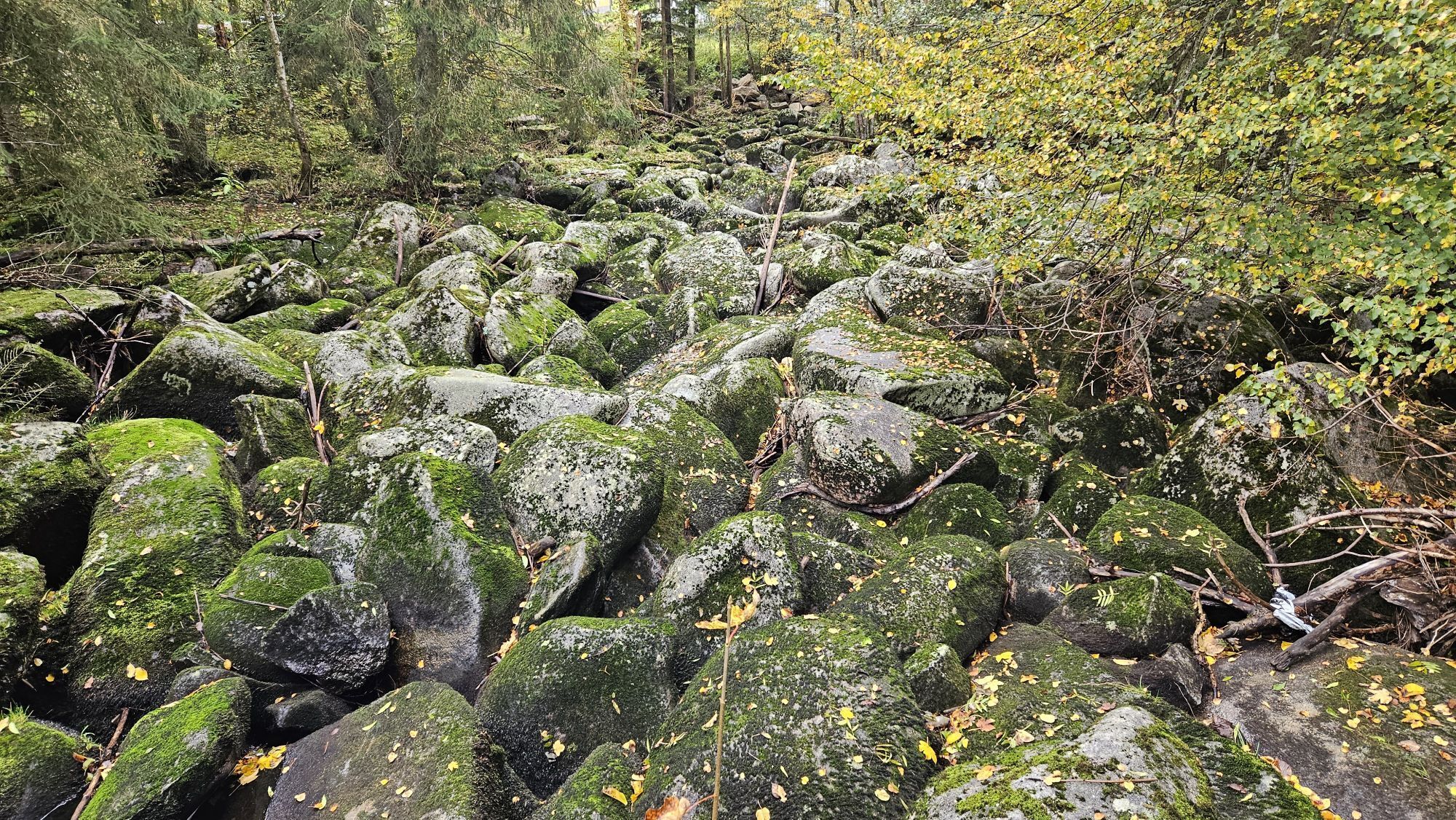
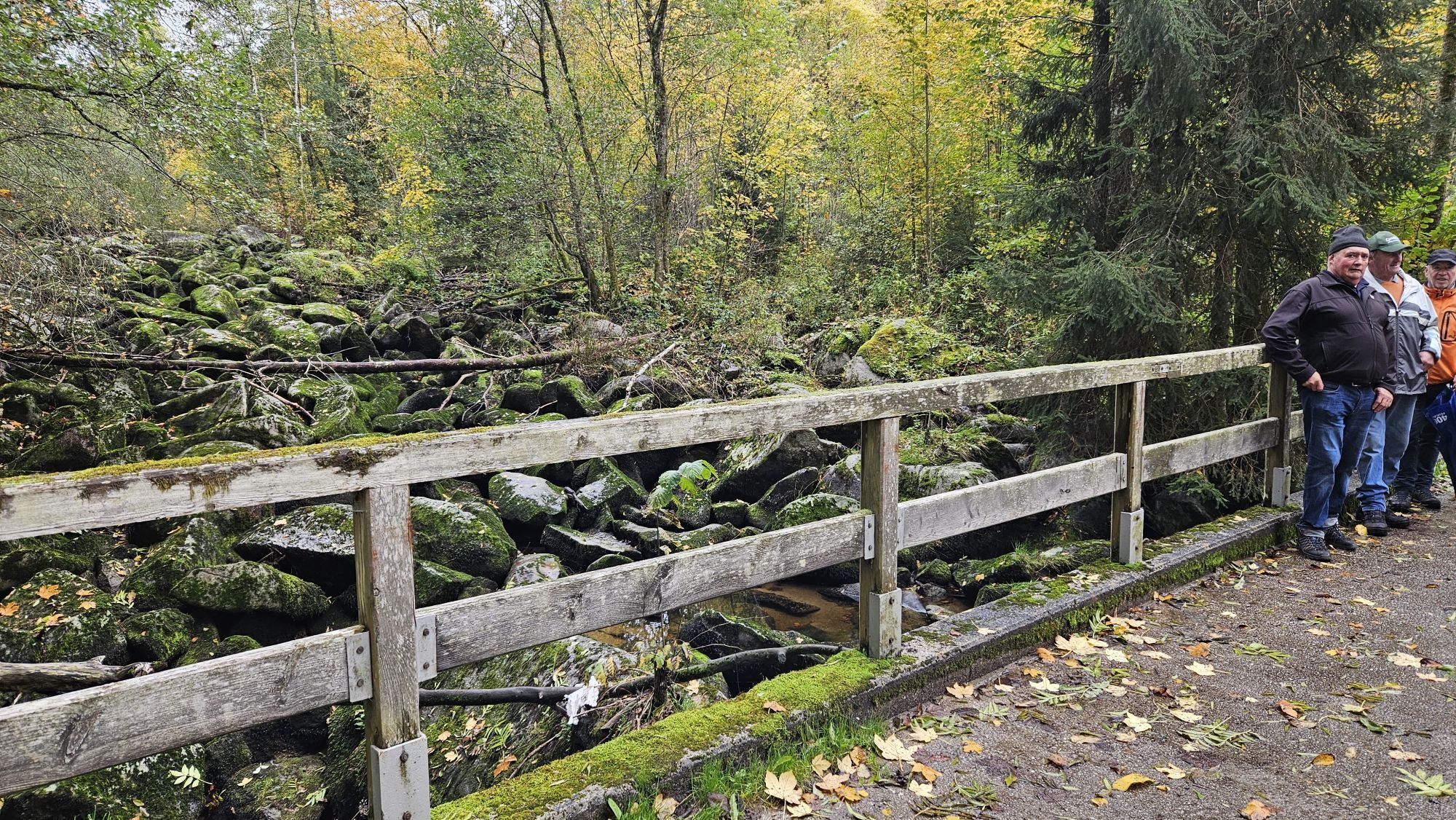


Over the course of four days, you’ll hike through the southeastern part of the Bohemian Forest and enjoy the rolling countryside of the Mühlviertel at its most beautiful. Experience the diverse river valleys—you’ll...
Opis
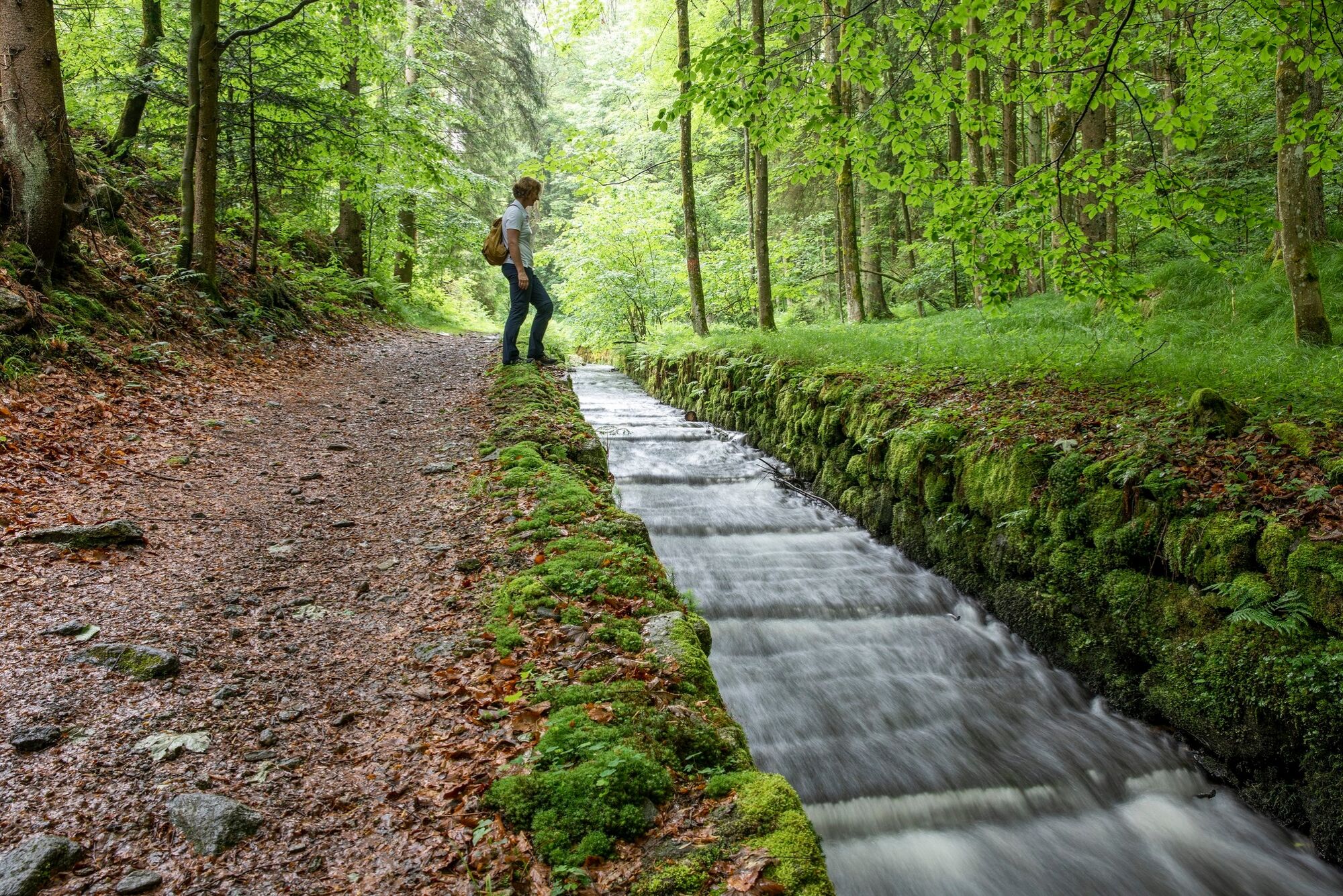
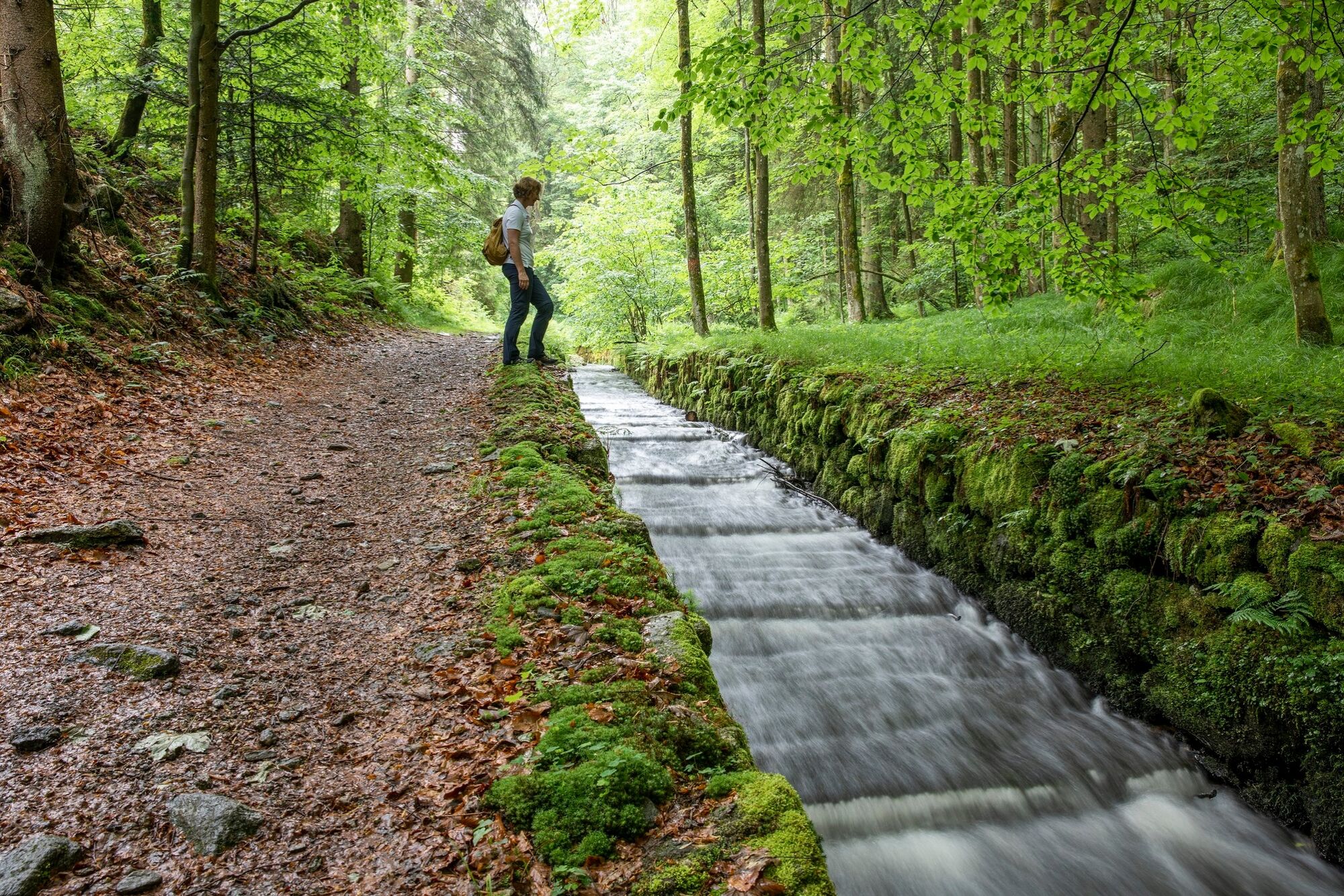
Over the course of four days, you’ll hike through the southeastern part of the Bohemian Forest and enjoy the rolling countryside of the Mühlviertel at its most beautiful. Experience the diverse river valleys—you’ll hike from the Große Mühl to the Steinerne Mühl and on to the Kleine Mühl.
Plenty of time to leave everyday life behind and recharge your batteries.
Plenty of time to enjoy beautiful places and mystical power spots.
Plenty of time to simply “let your mind wander” on the lovely benches along the trail.Stage 1: Aigen-Schlägl – Haslach, 19 kmStage 2: Haslach – Helfenberg, 20 kmStage 3: Helfenberg – Rohrbach-Berg, 20 kmStage 4: Rohrbach-Berg – Aigen-Schlägl, 19 km
Upon request, we’d be happy to provide you with a detailed description of each stage. This is also available for download under “Inspiration.”
With the free outdooractive app, you can follow the trail using the navigation feature. (Click on the word “outdooractive”).
Trasa
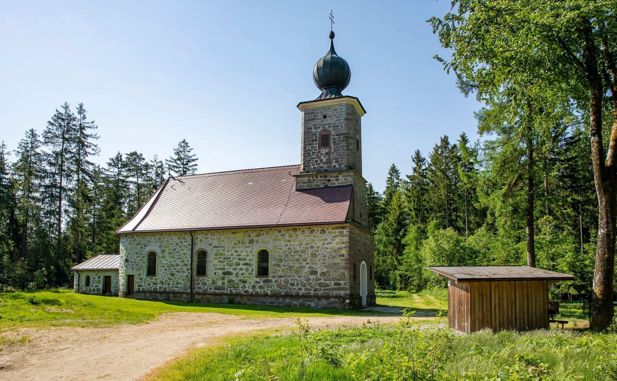
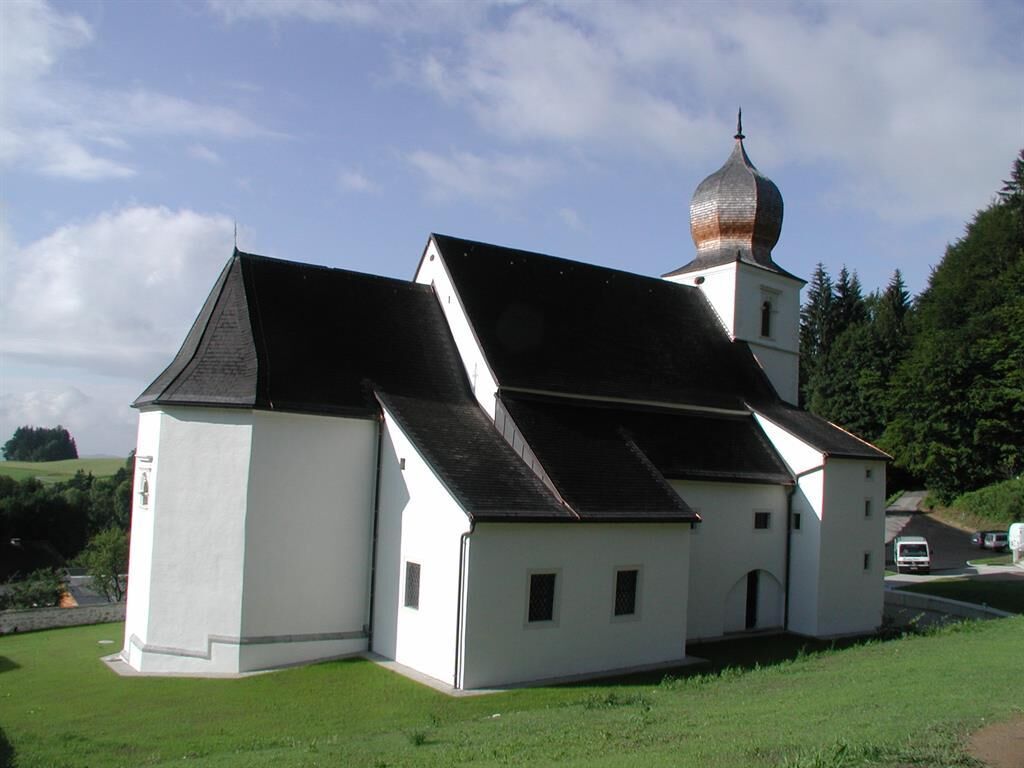
Maria Anger Kirche Schlägl
(543 m)
Miejsce kultu
0,0 km
Helfenberger Hütte
(842 m)
Schronienie
26,0 km
Kreuzweg Station XIV
(730 m)
Miejsce kultu
31,6 km
Kreuzweg Station VI
(704 m)
Miejsce kultu
31,8 km
Heiliges Grab
(686 m)
Miejsce kultu
57,3 km
Stadtpfarrkirche
(606 m)
Miejsce kultu
59,0 km
Michaelsberg
(748 m)
Szczyt
68,0 km
Trasa
On the way to deceleration: discover special features in 4 days on 78 km
średni
Wędrówka
78,09
km
Maria Anger Kirche Schlägl
(543 m)
Miejsce kultu
0,0 km
Minihof
(552 m)
Rozliczenie
5,4 km
Sattling
(627 m)
Rozliczenie
6,8 km
bývalý Murov
(683 m)
Rozliczenie
9,4 km
Morau
(682 m)
Rozliczenie
9,9 km
bývalý Muckenschlag
(621 m)
Rozliczenie
10,3 km
Almesberg
(618 m)
Rozliczenie
12,1 km
Schwackerreith
(548 m)
Rozliczenie
13,0 km
Johanniskapelle
(535 m)
Miejsce kultu
18,4 km
Haslach an der Mühl
(535 m)
Wioska
18,5 km
Haid
(733 m)
Rozliczenie
21,6 km
Innenschlag
(881 m)
Rozliczenie
24,1 km
Helfenberger Hütte
(842 m)
Schronienie
26,0 km
Unterafiesl
(808 m)
Rozliczenie
28,3 km
Salmesmühle
(709 m)
Korytarz/teren
29,2 km
Waldkreuzkapelle
(733 m)
Miejsce kultu
31,4 km
Kreuzweg Station XIV
(730 m)
Miejsce kultu
31,6 km
Kreuzweg Station XII
(731 m)
Miejsce kultu
31,6 km
Kreuzweg Station XIII
(731 m)
Miejsce kultu
31,6 km
Kreuzweg Station XI
(729 m)
Miejsce kultu
31,6 km
Kreuzweg Station X
(726 m)
Miejsce kultu
31,7 km
Kreuzweg Station IX
(722 m)
Miejsce kultu
31,7 km
Kreuzweg Station VIII
(716 m)
Miejsce kultu
31,7 km
Kreuzweg Station VII
(712 m)
Miejsce kultu
31,7 km
Kreuzweg Station VI
(704 m)
Miejsce kultu
31,8 km
Kreuzweg Station III
(683 m)
Miejsce kultu
31,8 km
Kreuzweg Station V
(696 m)
Miejsce kultu
31,8 km
Kreuzweg Station IV
(689 m)
Miejsce kultu
31,8 km
Kreuzweg Station II
(676 m)
Miejsce kultu
32,0 km
Kreuzweg Station I
(674 m)
Miejsce kultu
32,0 km
Thurnerschlag
(710 m)
Rozliczenie
35,6 km
Pfarrkirche Helfenberg
(568 m)
Miejsce kultu
38,7 km
Helfenberg
(569 m)
Wioska
38,8 km
Neuling
(572 m)
Rozliczenie
40,3 km
Auhäuser
(570 m)
Rozliczenie
40,8 km
Preßleithen
(543 m)
Rozliczenie
42,1 km
Notarquelle
(505 m)
Źródło
50,2 km
Haslach an der Mühl
(535 m)
Wioska
50,6 km
Gasthaus Mosthütte
(637 m)
Restauracja
56,9 km
Heiliges Grab
(686 m)
Miejsce kultu
57,3 km
Maria Schnee-Kapelle
(692 m)
Miejsce kultu
57,5 km
Wallfahrtskirche Maria Trost
(700 m)
Miejsce kultu
57,6 km
Stadtpfarrkirche
(606 m)
Miejsce kultu
59,0 km
Rohrbach
(603 m)
Miasto
59,1 km
Berg
(637 m)
Wioska
60,0 km
Fürling
(663 m)
Rozliczenie
62,3 km
Fraundorf
(613 m)
Rozliczenie
65,7 km
Krien
(647 m)
Rozliczenie
67,4 km
Michaelsberg
(748 m)
Szczyt
68,0 km
Michaelskapelle
(746 m)
Miejsce kultu
68,0 km
Katzing
(582 m)
Rozliczenie
71,4 km
Geiselreith
(628 m)
Rozliczenie
73,2 km
St. Wolfgang am Stein
(734 m)
Rozliczenie
75,2 km
Schlägl
(539 m)
Sąsiedztwo
77,7 km
Maria Anger Kirche Schlägl
(543 m)
Miejsce kultu
78,0 km
Autor
Dostarczone przez Destination Mühlviertel





Nie ma jeszcze recenzji

Wszystkie kamery internetowe na mapie
Zainstaluj aplikację za darmo i porównaj obrazy na żywo z kilku miejsc, zanim wyruszysz w drogę.
Skorzystaj już teraz z funkcji „ bergfex ” w aplikacji
Zeskanuj kod QR za pomocą aparatu
Po zainstalowaniu aplikacji treść otworzy się od razu. Jeśli jeszcze nie masz tej aplikacji, zostaniesz przekierowany do strony, z której możesz ją bezpłatnie pobrać.
Popularne wycieczki w okolicy
- 4,5
Sternsteinrunde
światłoWędrówka 7,48 km - 4,5
Moorweg Bad Leinfelden
światłoWędrówka 4,85 km - 4,4
Michlweg
średniWędrówka 11,2 km - 4,2
Schwedenschanze, Bad Leonfelden
światłoWędrówka 10,2 km - 4,8
Von Linz zum Sternstein
światłoWędrówka 44,7 km - 4,8
Sternstein / Bad Leonfelden
światłoWędrówka 13,6 km - 3,8
Großer Hopfensteig
średniWędrówka 12,8 km - 3,9
St. Veit - Hansberg - Waxenberg
Wędrówka 10,7 km - 3,5
Hansbergrunde
średniWędrówka 15,9 km - 4,5
Kraft-Quelle-Baum
średniWędrówka 59,1 km
Wędrówki i tropienie

Ponad 550.000 propozycji wycieczek, szczegółowe mapy i intuicyjny planer tras sprawiają, że aplikacja jest niezbędna dla wszystkich entuzjastów przyrody.

Nie przegap ofert i inspiracji na następne wakacje
Zapisz się do newslettera
Błąd
Wystąpił błąd. Spróbuj ponownie.Dziękujemy za rejestrację
Twój adres e-mail została dodana do listy mailingowej.
Wycieczki po całej Europie
Austria Szwajcaria Niemcy Włochy Słowenię Francja Holandia Belgia Polska Liechtenstein Czechy Słowacja Hiszpania Chorwacja Bośnia i Hercegowina Luksemburg Andorra Portugalia Islandia Wielka Brytania Irlandia Grecja Albania Macedonia Północna Malta Norwegia Czarnogóra Mołdawia Kosowo Węgry San Marino Rumunia Estonia Łotwa Białoruś Cypr Litwa Serbia Bułgaria Monako Dania Szwecja Finlandia


