
Johannesweg (St. John's pilgrimage route)
ciężki
Pobierz tę trasę na swój telefon komórkowy
Johannesweg (St. John's pilgrimage route)
ciężki
Wędrówka
81,41
km
Zeskanuj kod QR i rozpocznij nawigację w aplikacji bergfex.


Wędrówki i tropienie





Johannesweg (St. John's pilgrimage route)
ciężki
Odległość
81,4
km
Czas trwania
25:00
h
Ascent
2 387
hm
Poziom morza
490 -
975
m

Nawiguj po trasie w aplikacji
Zainstaluj aplikację za darmo i śledź trasę dzięki nawigacji GPS i funkcji śledzenia.
Skorzystaj już teraz z funkcji „ bergfex ” w aplikacji
Zeskanuj kod QR za pomocą aparatu
Po zainstalowaniu aplikacji treść otworzy się od razu. Jeśli jeszcze nie masz tej aplikacji, zostaniesz przekierowany do strony, z której możesz ją bezpłatnie pobrać.
Ścieżka do pobrania
Johannesweg (St. John's pilgrimage route)
ciężki
Wędrówka
81,41
km
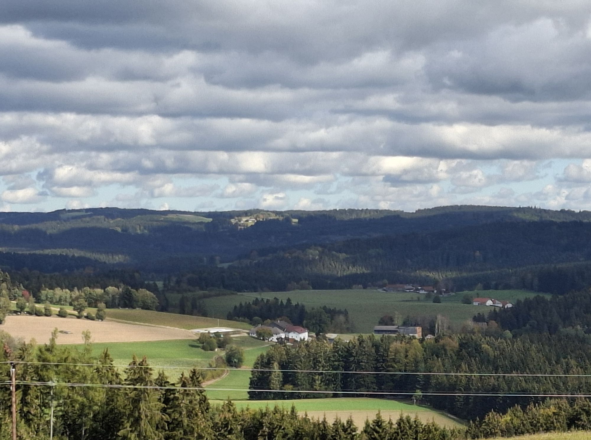
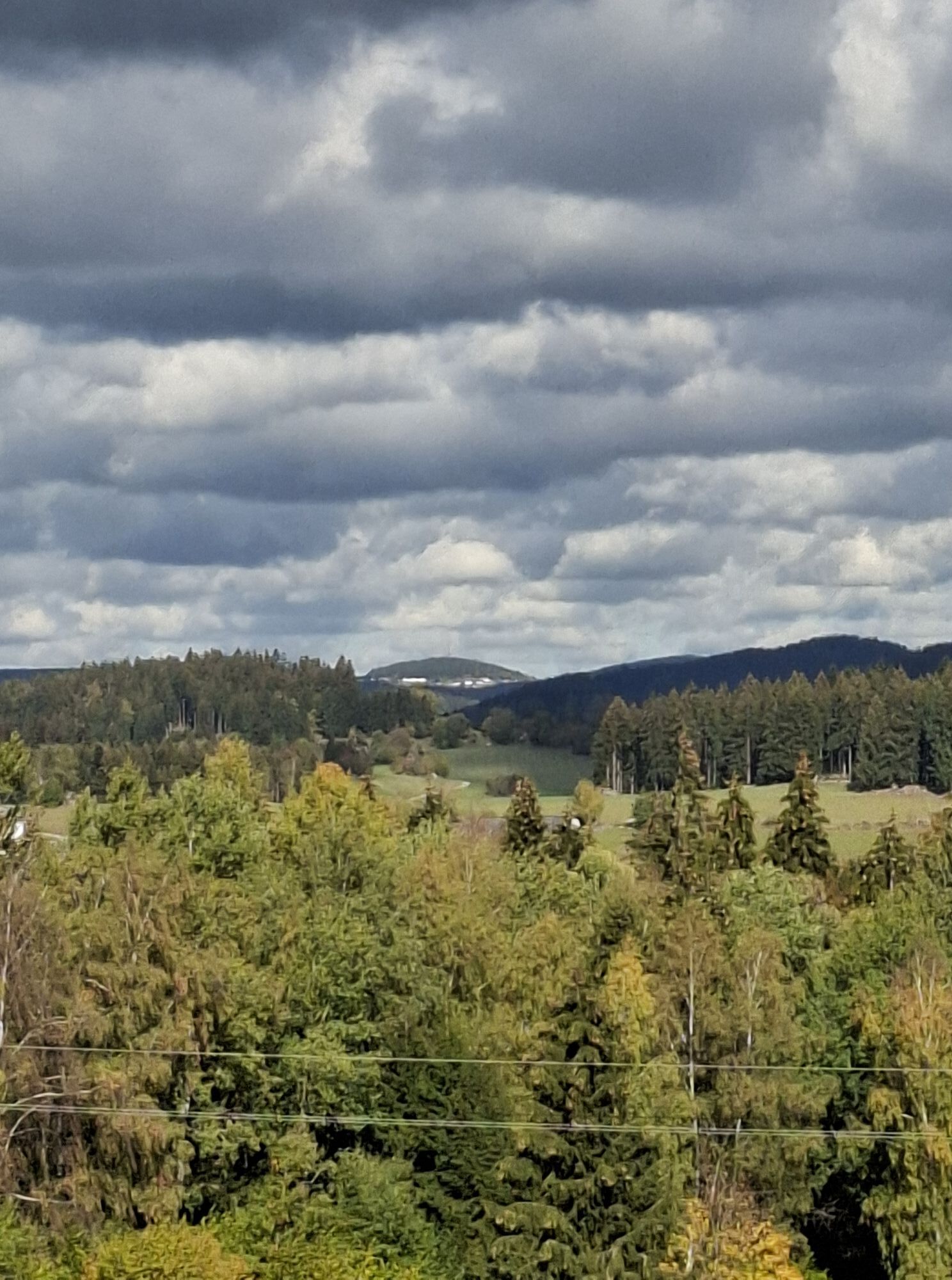
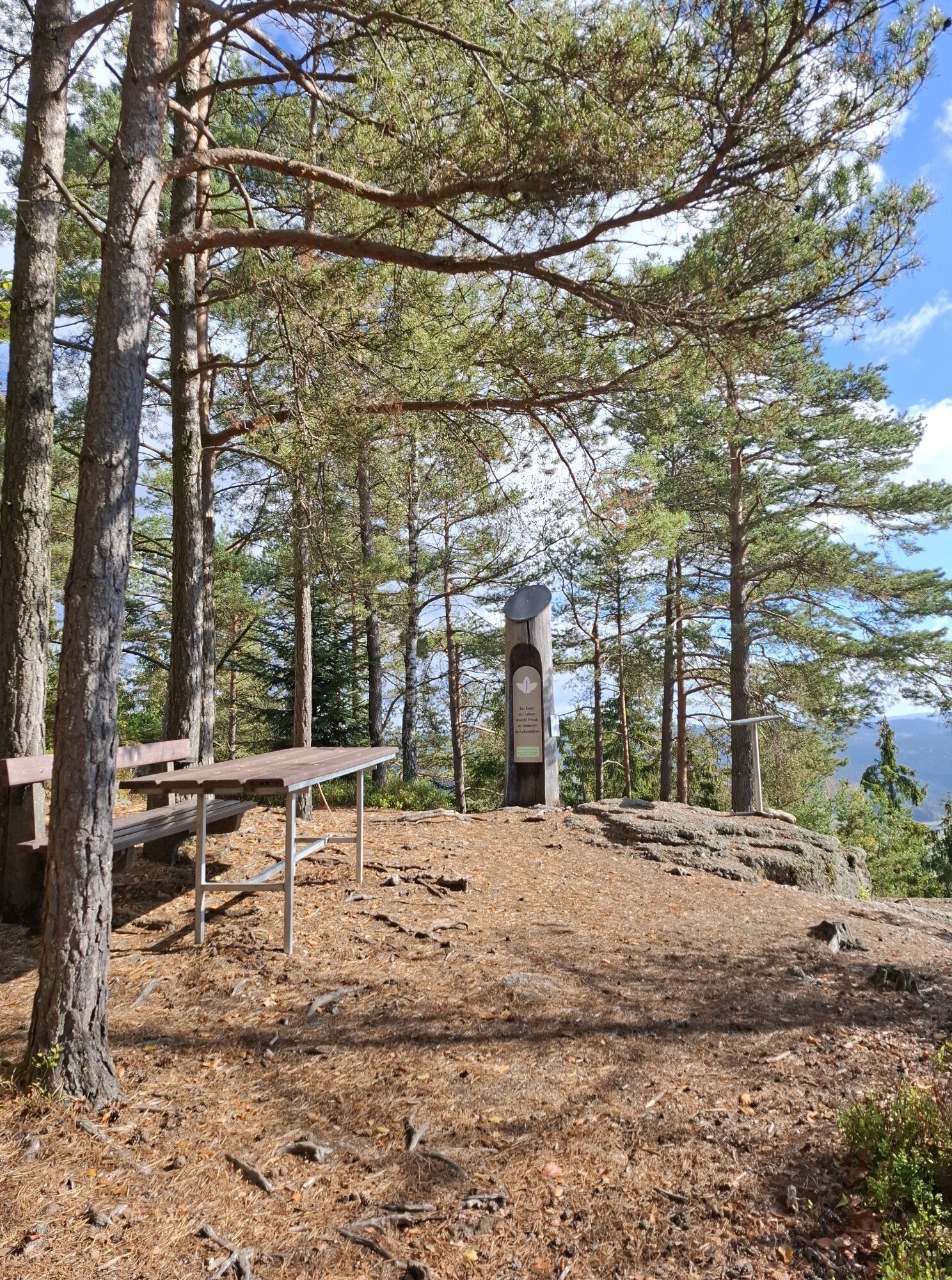
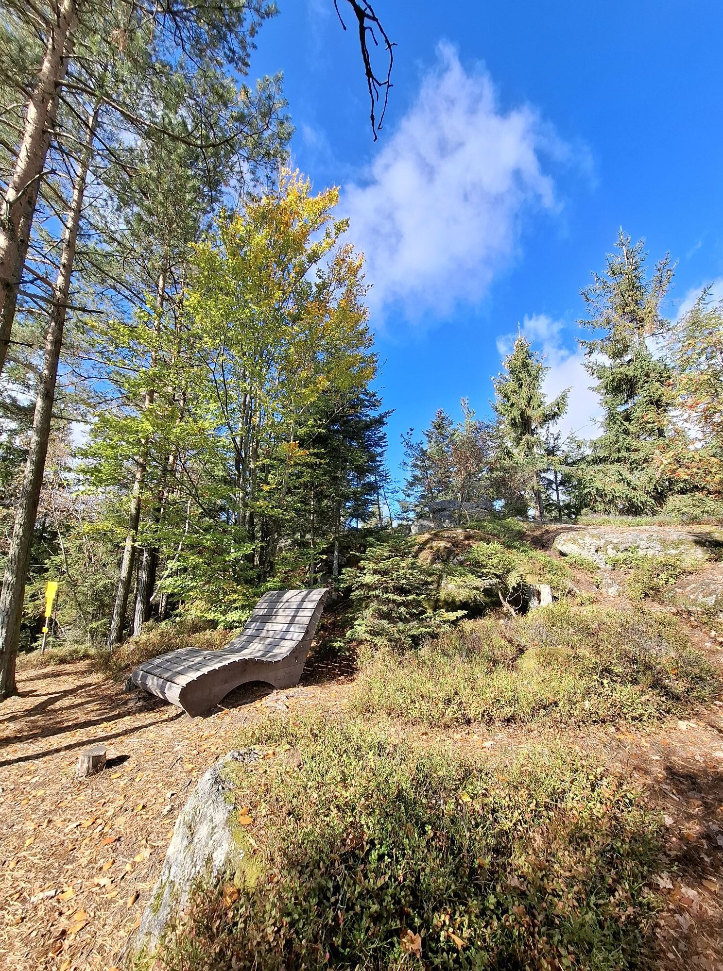
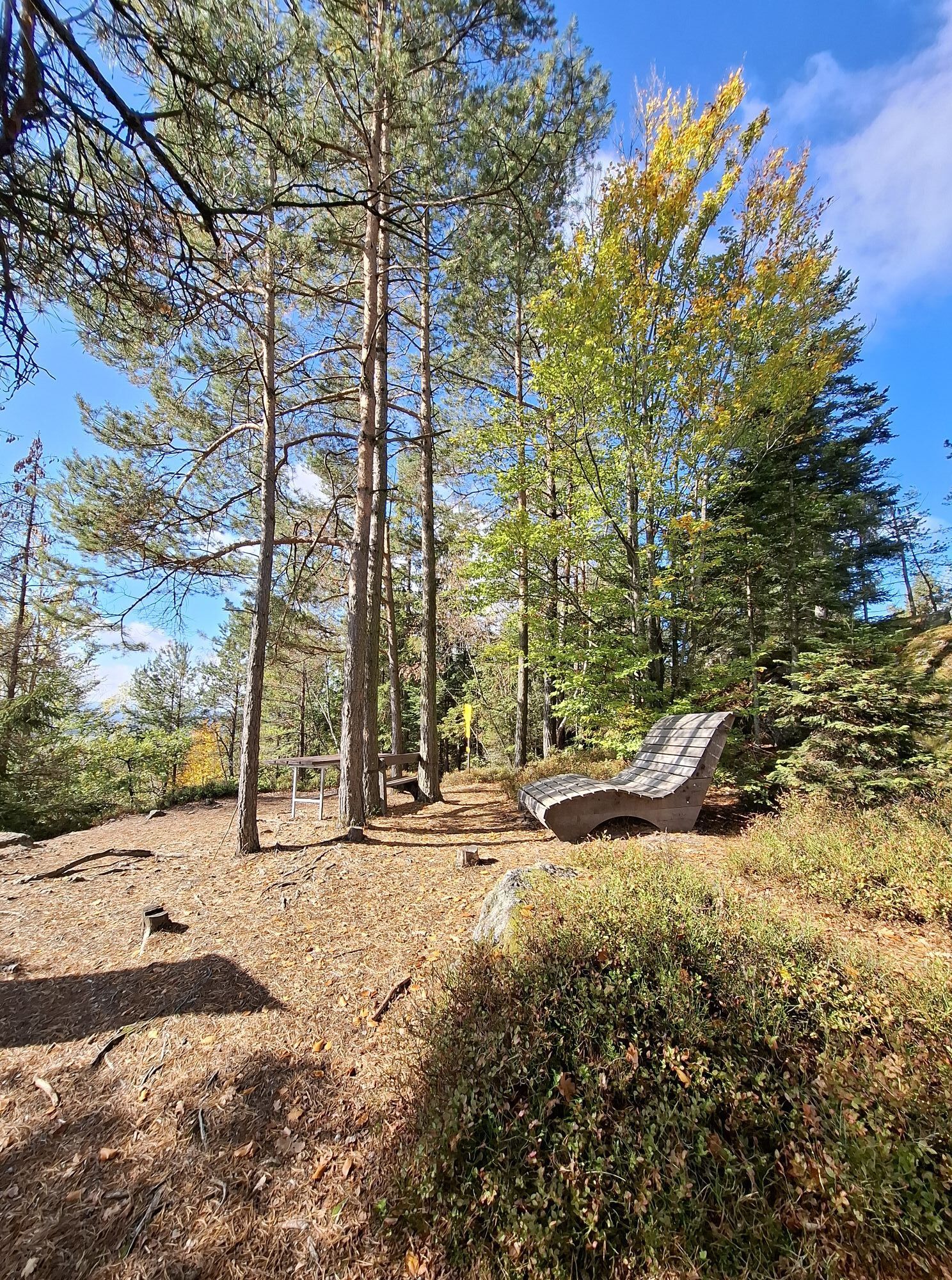
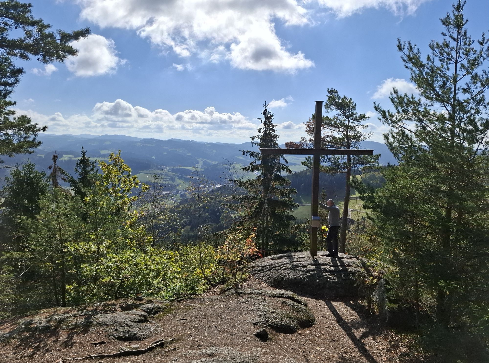
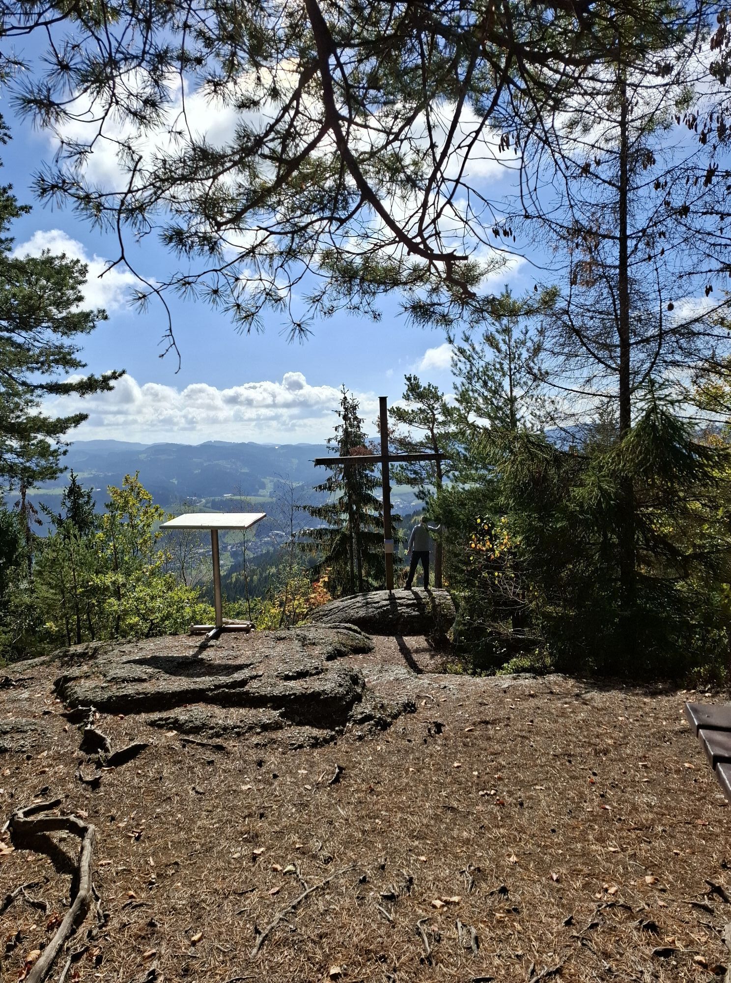
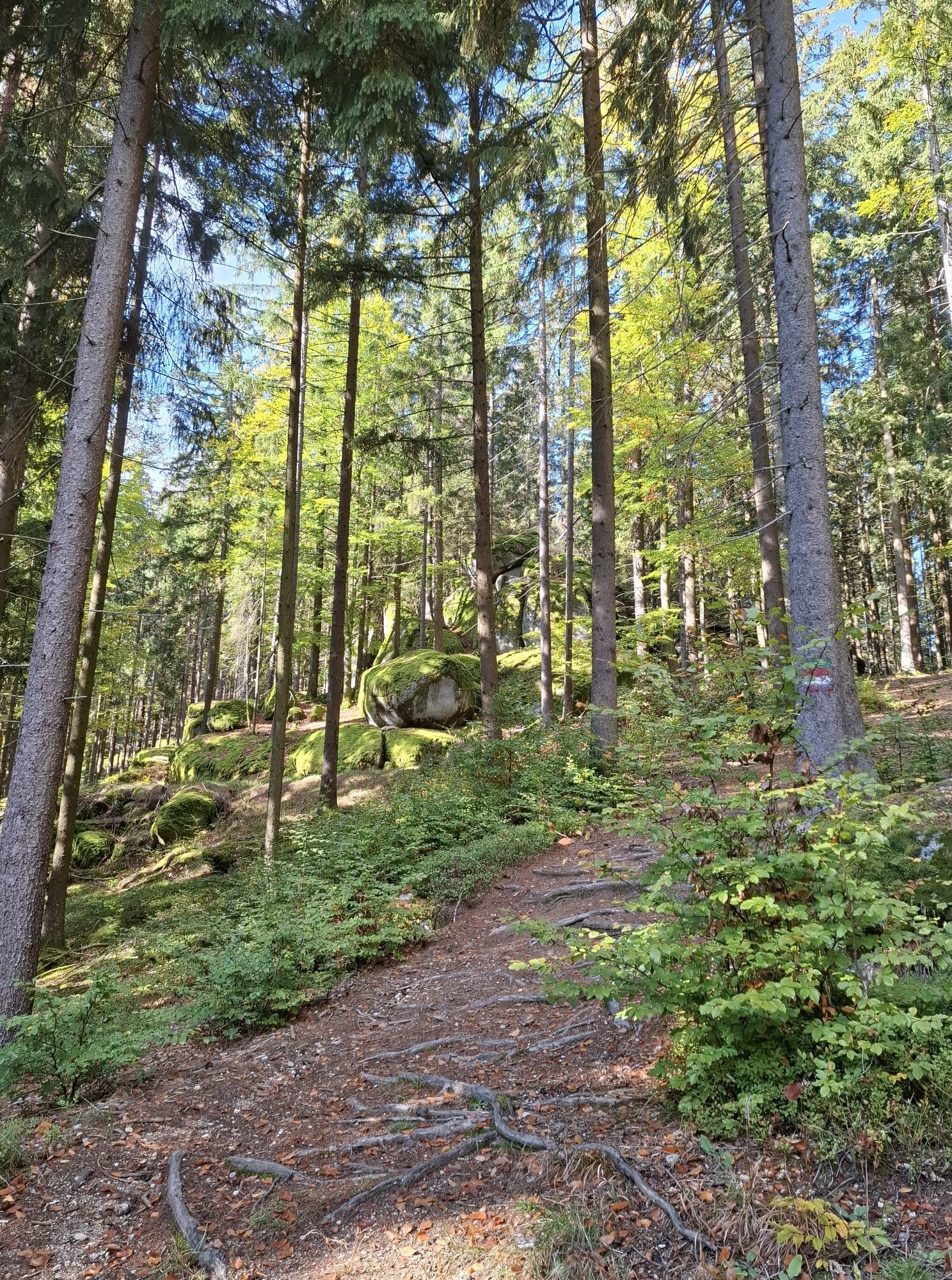
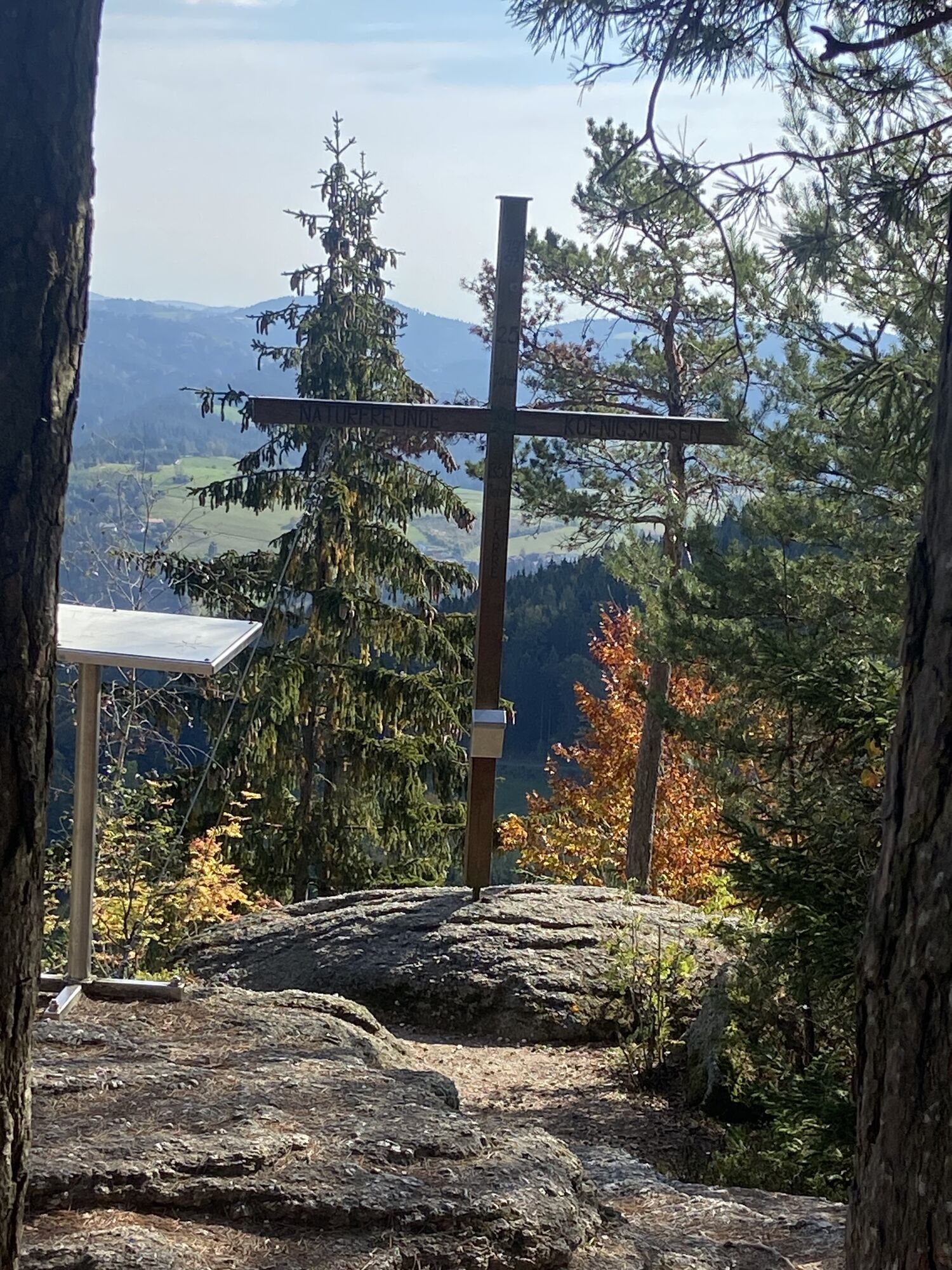
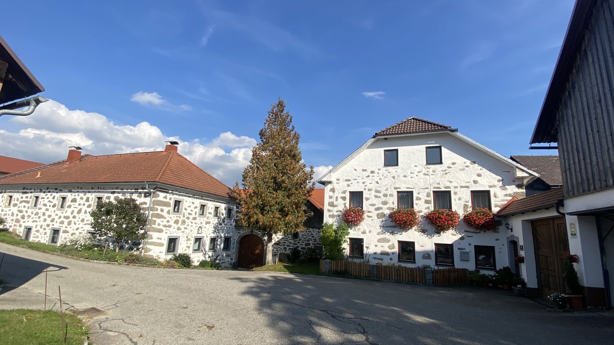
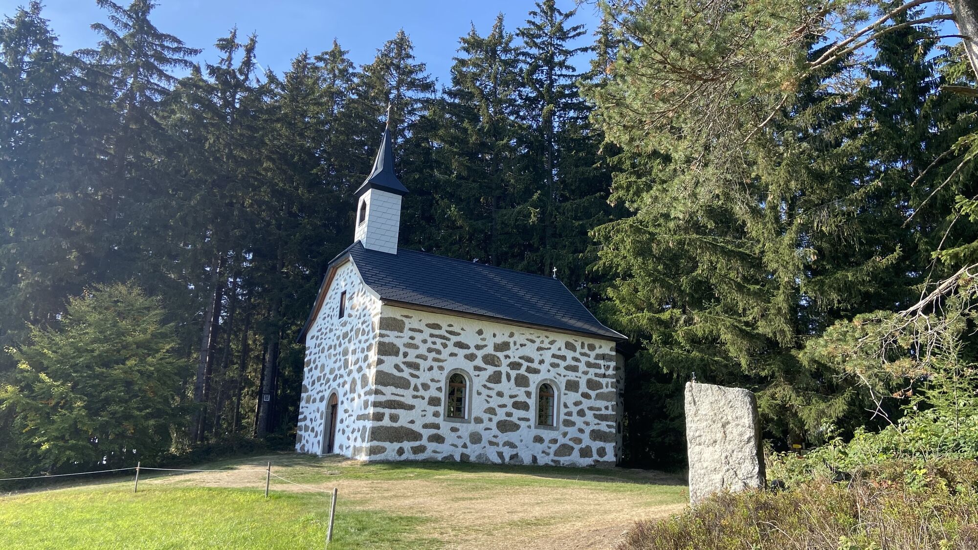
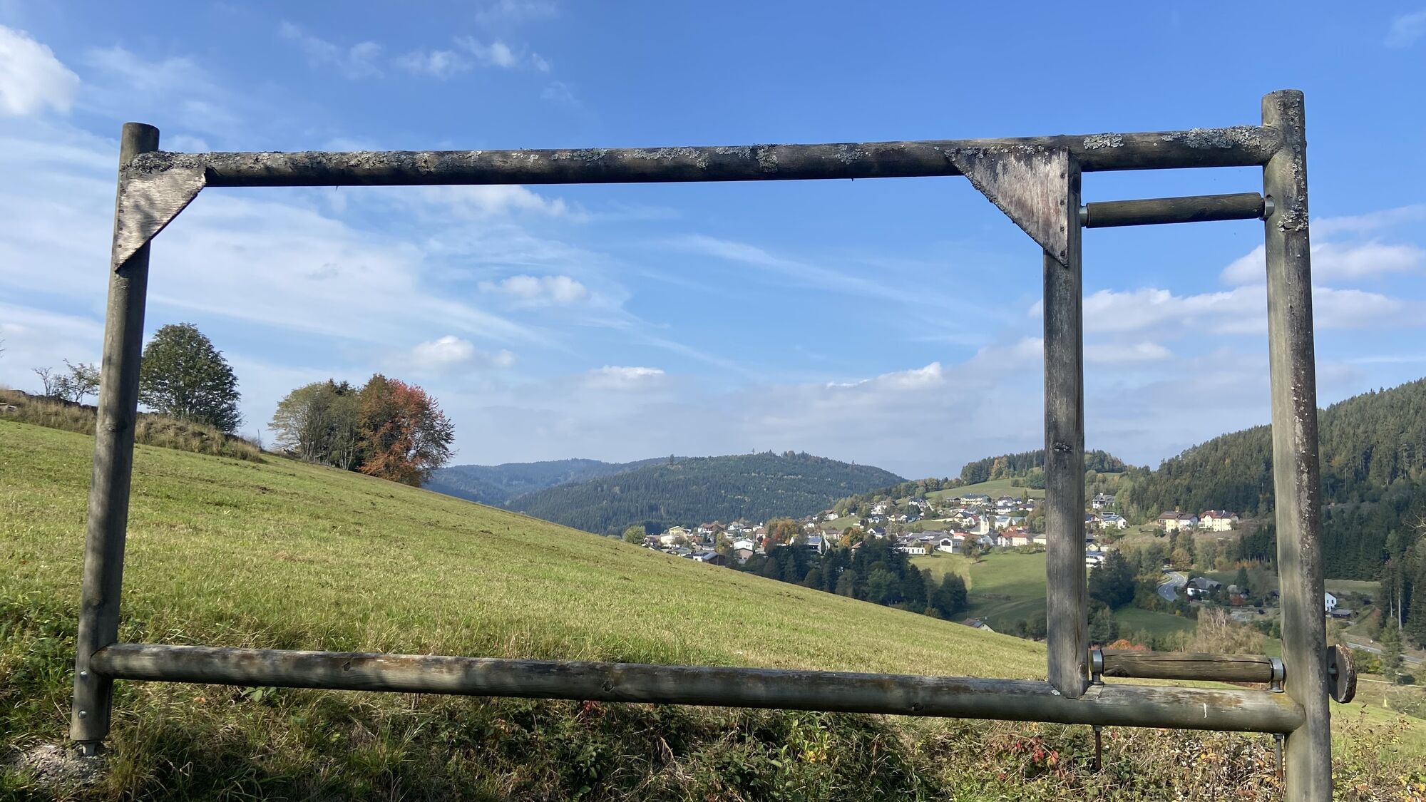
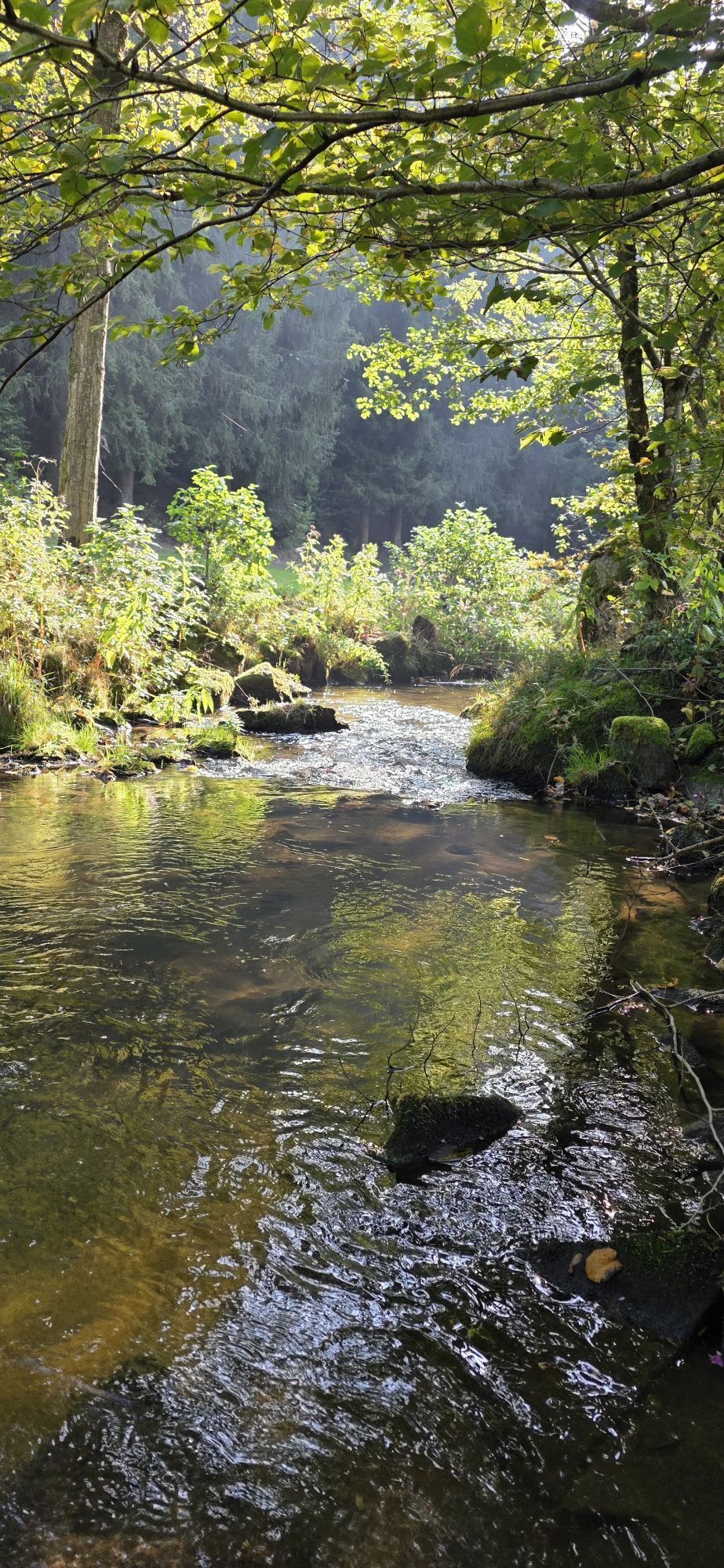
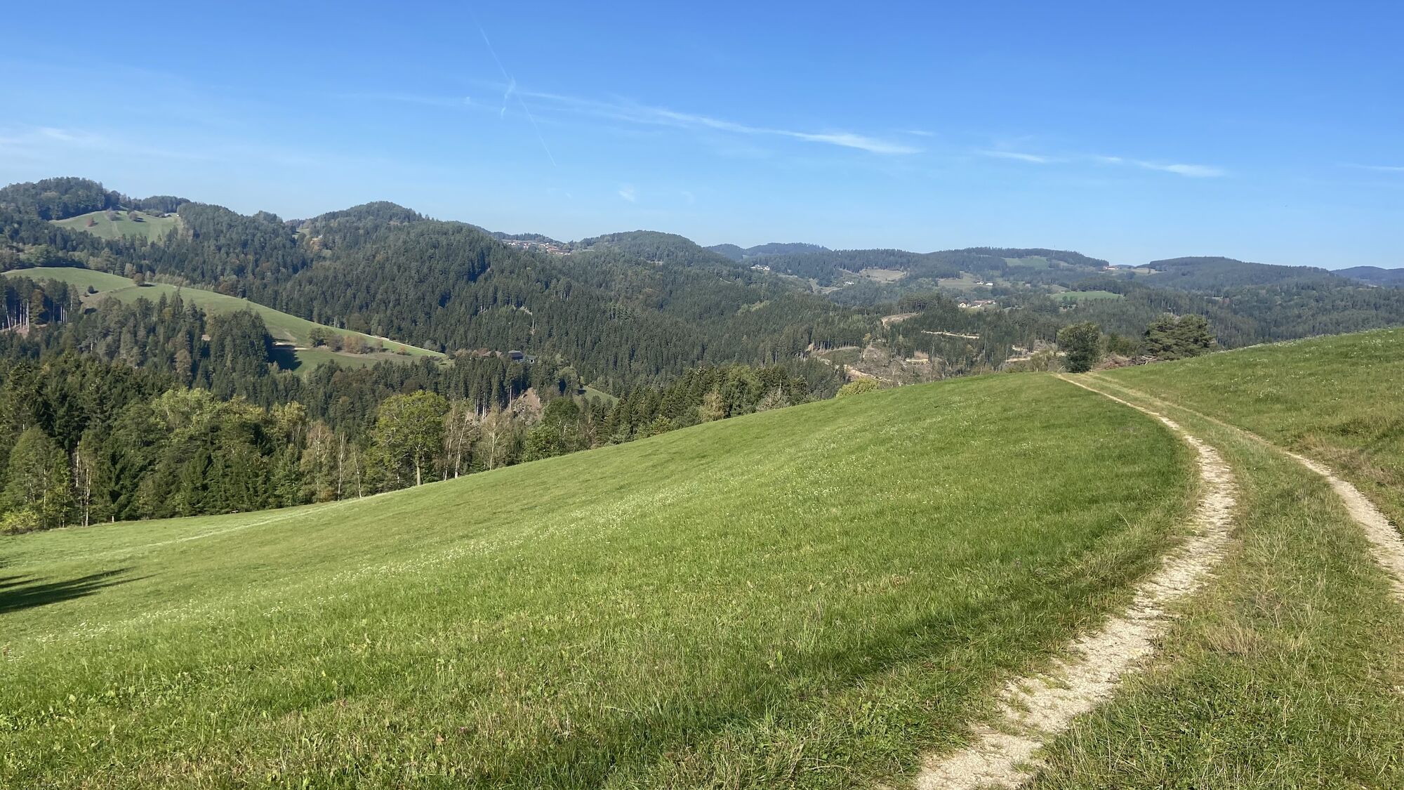
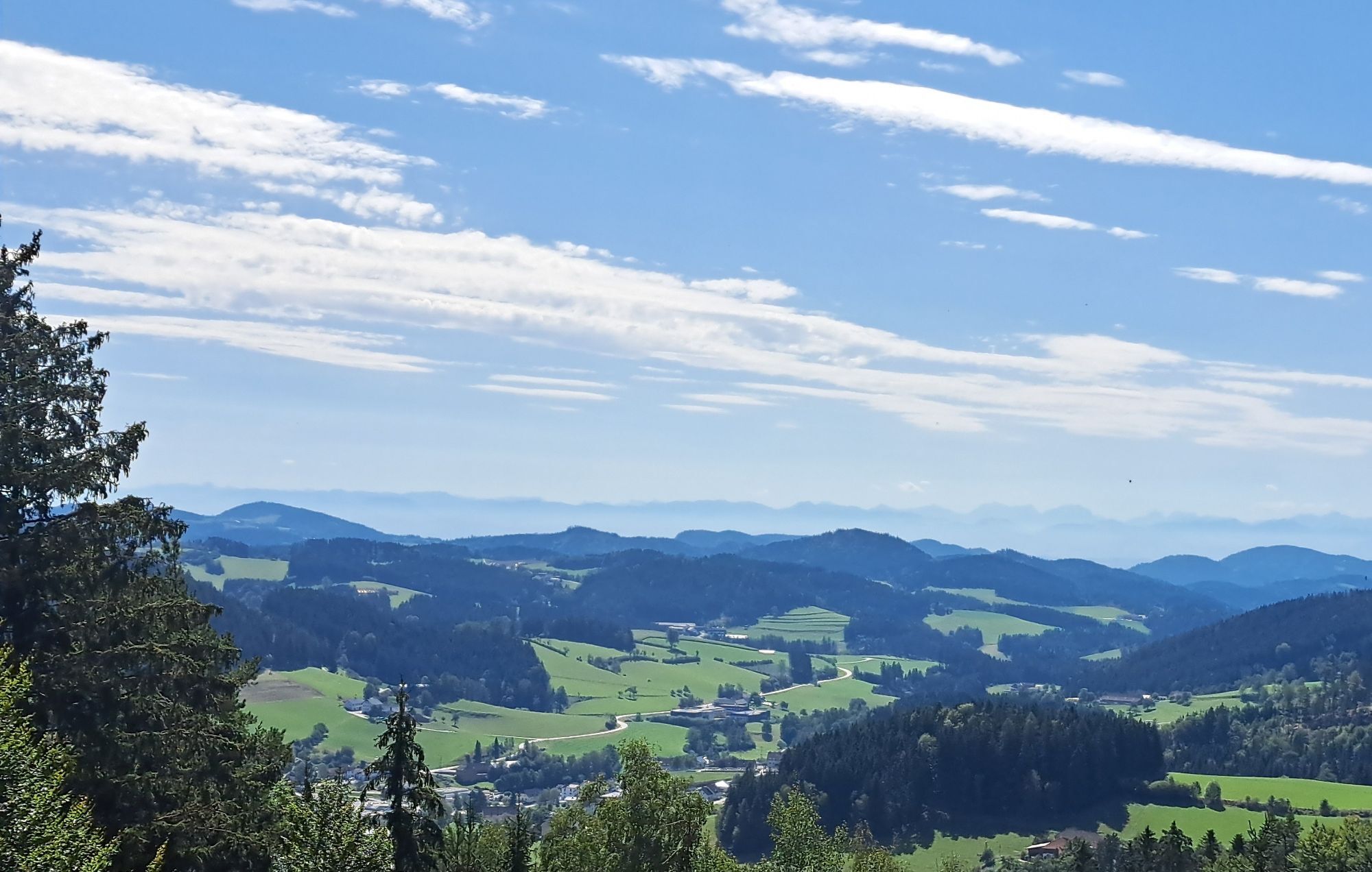
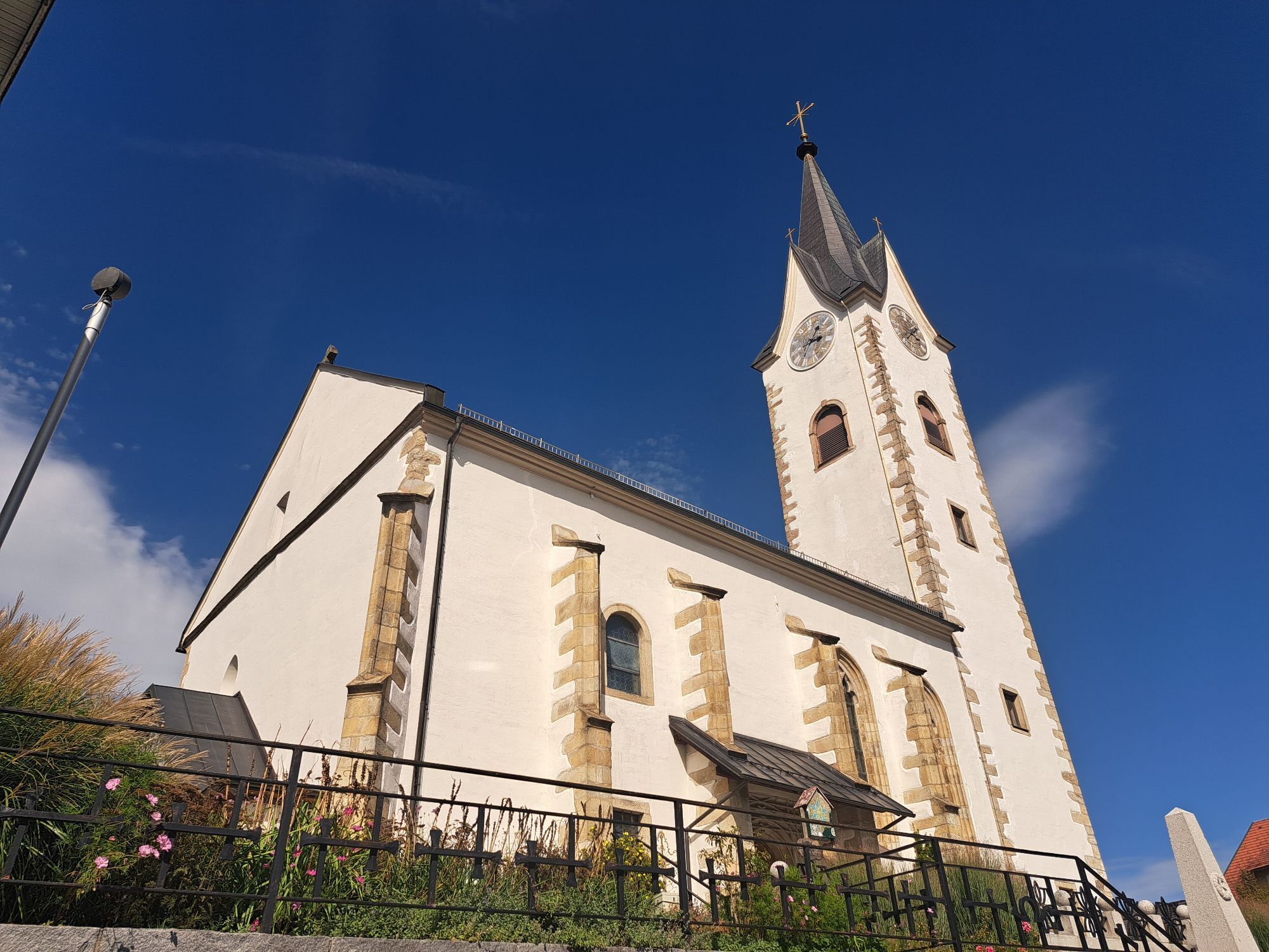
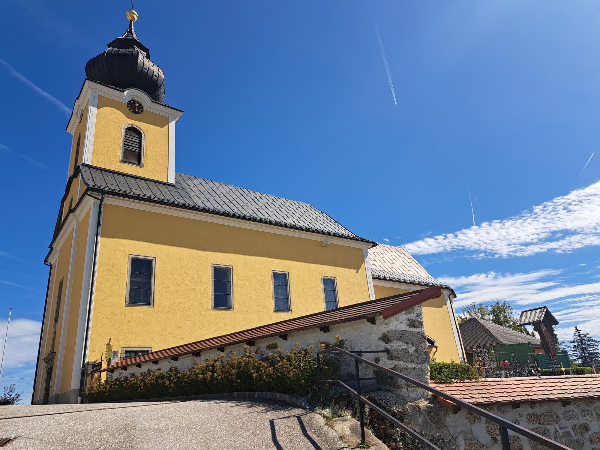
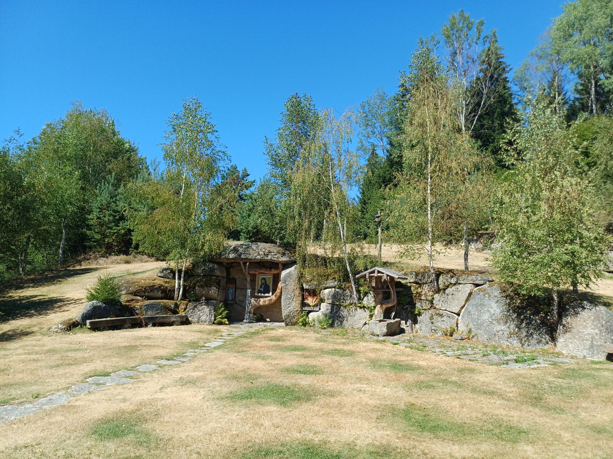
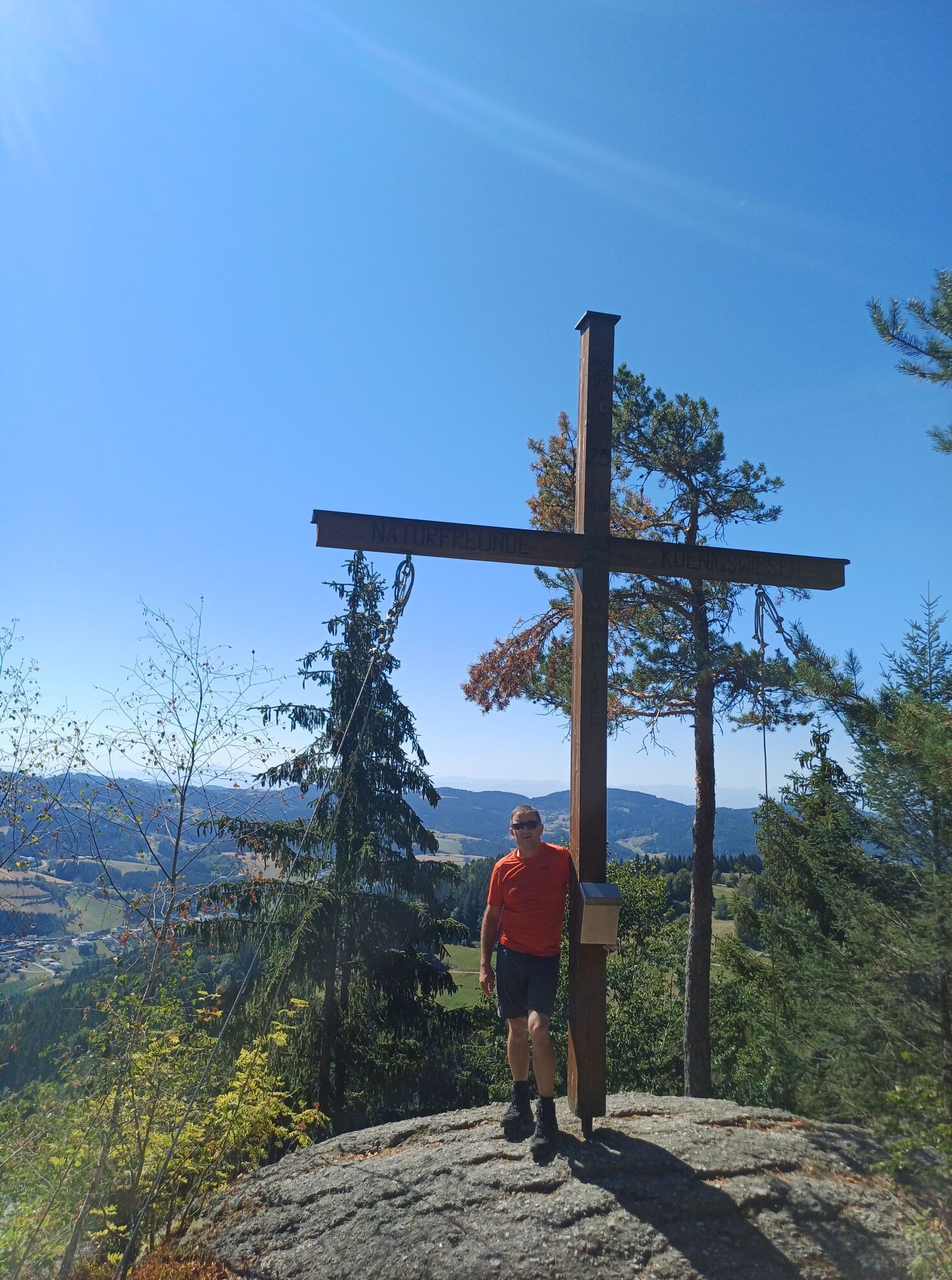

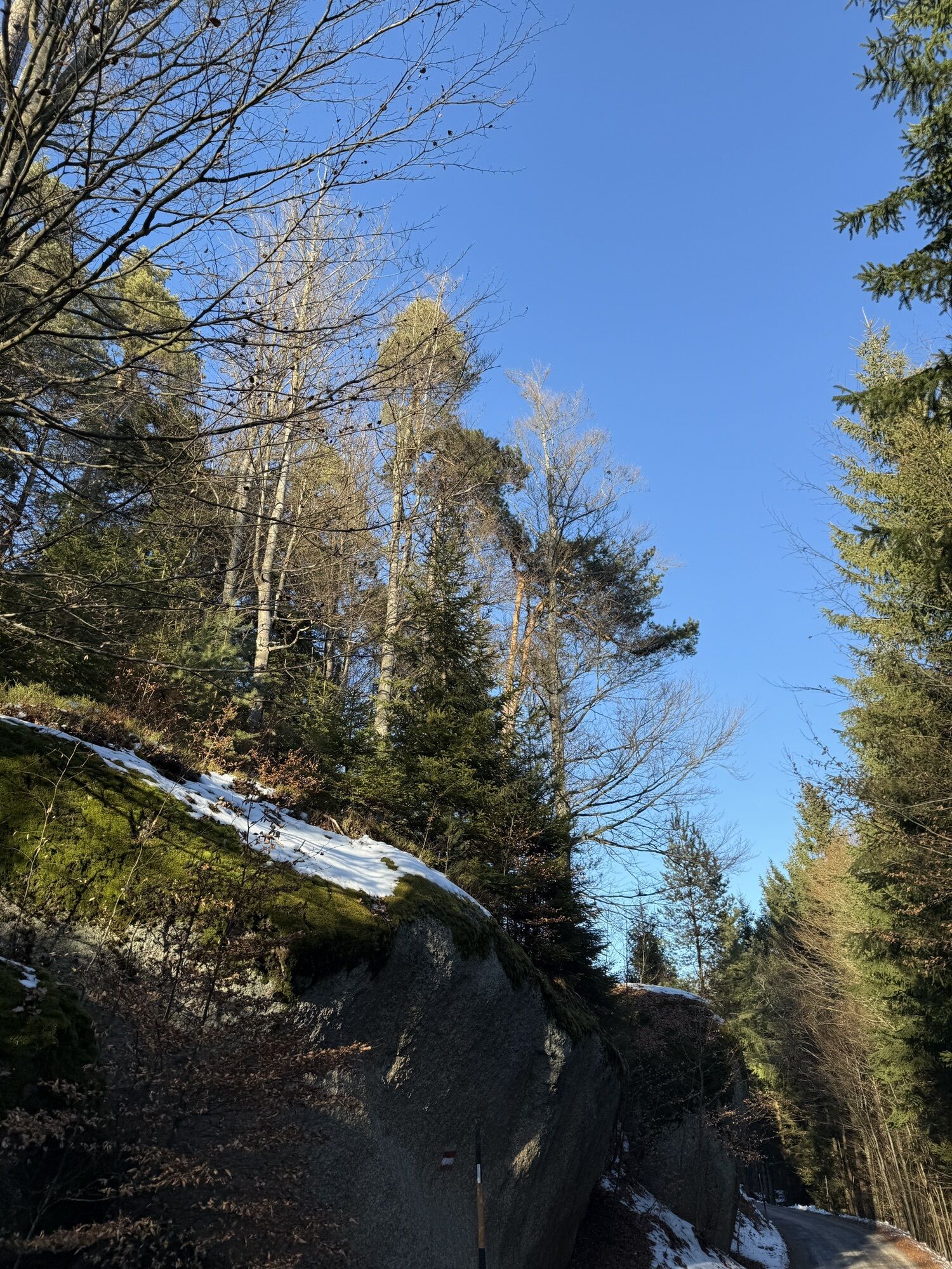
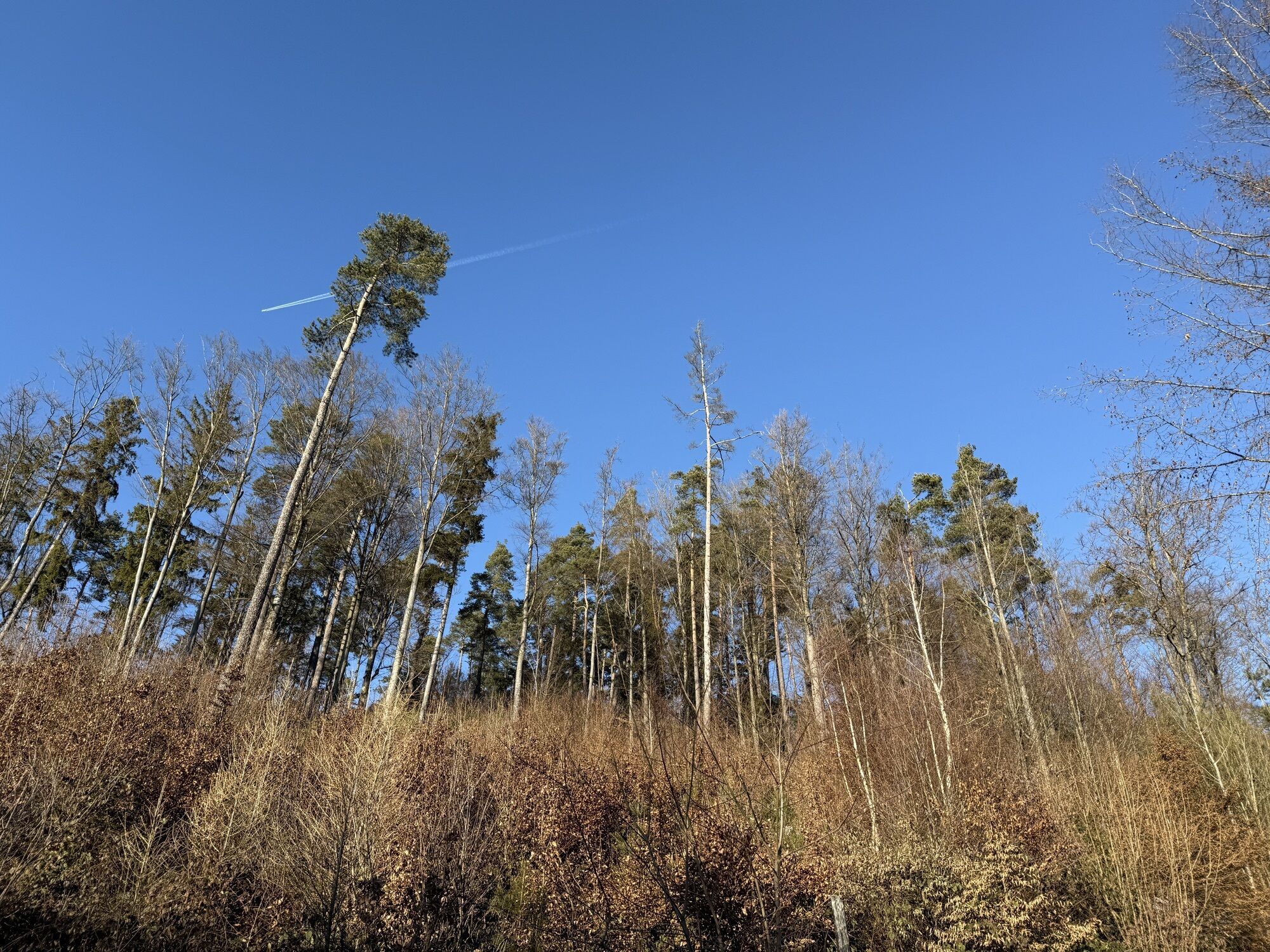
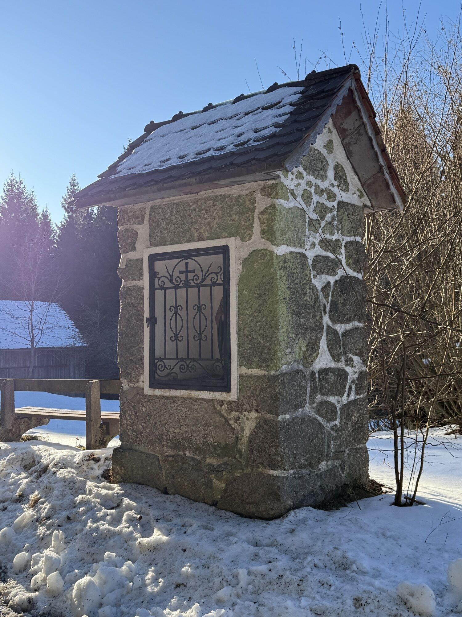
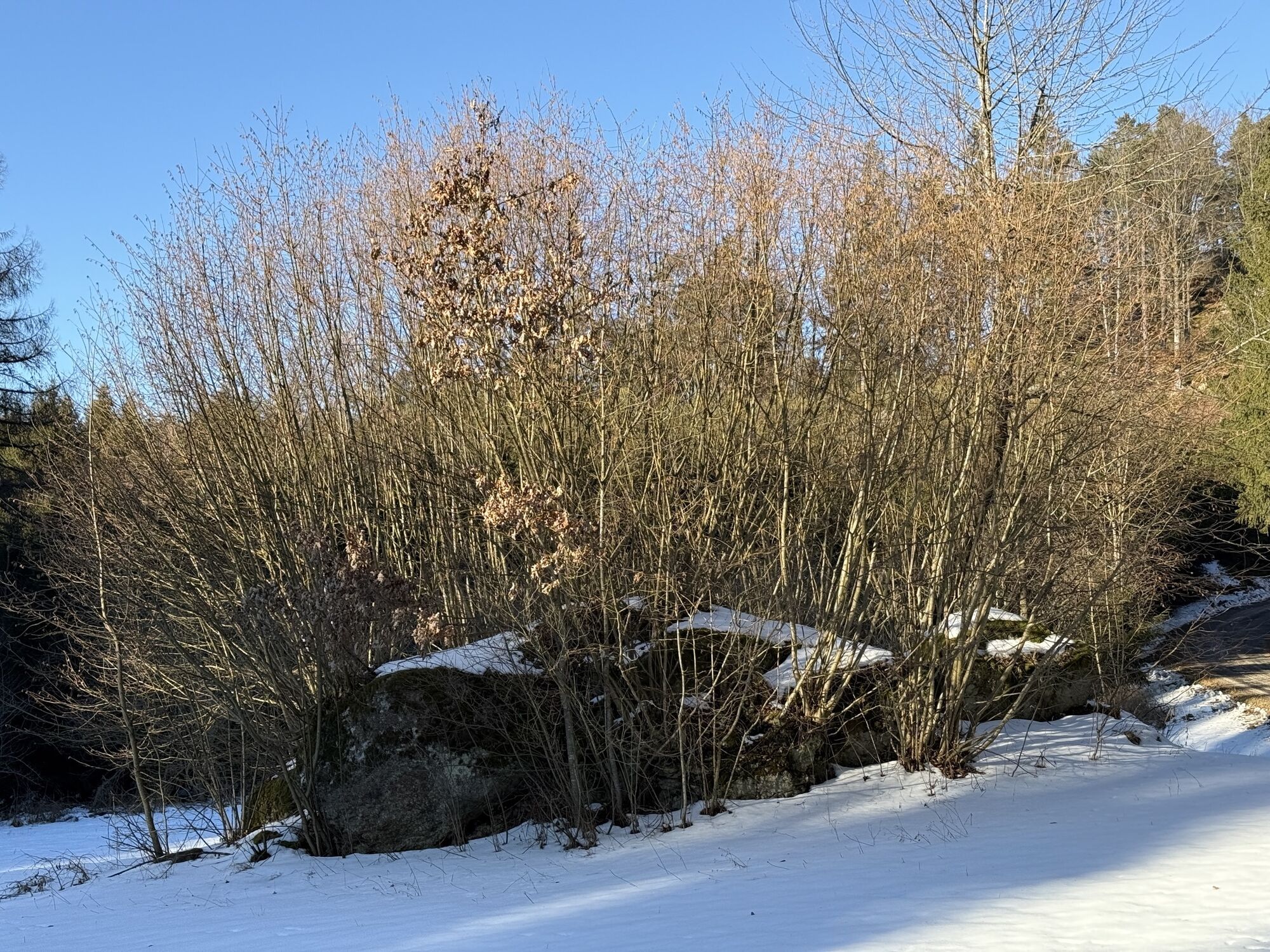
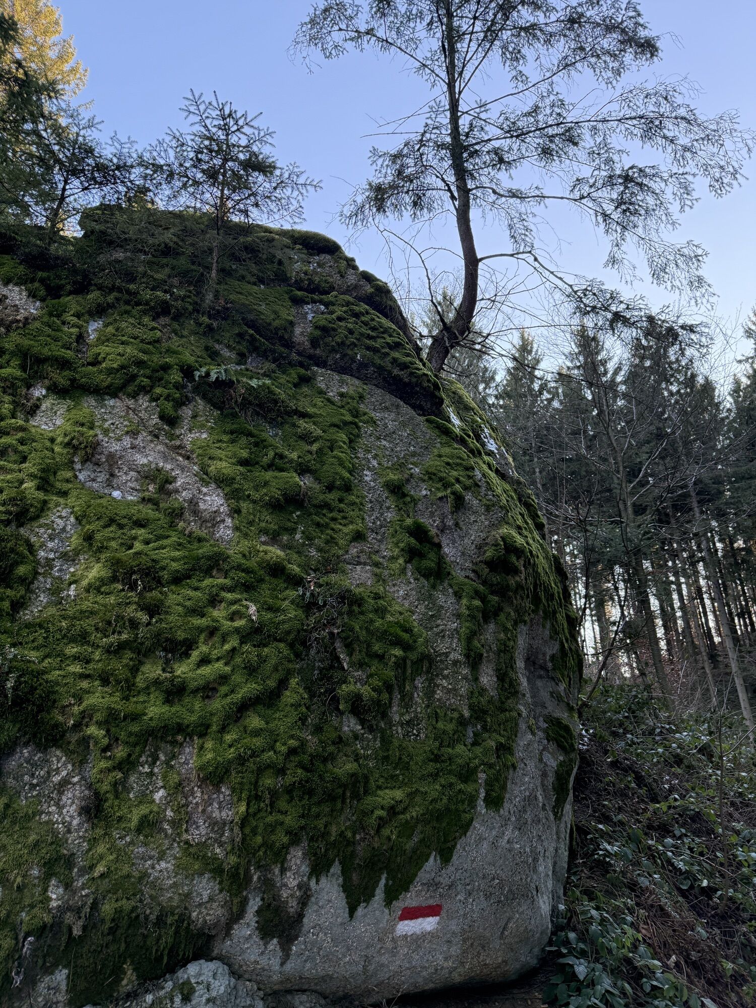
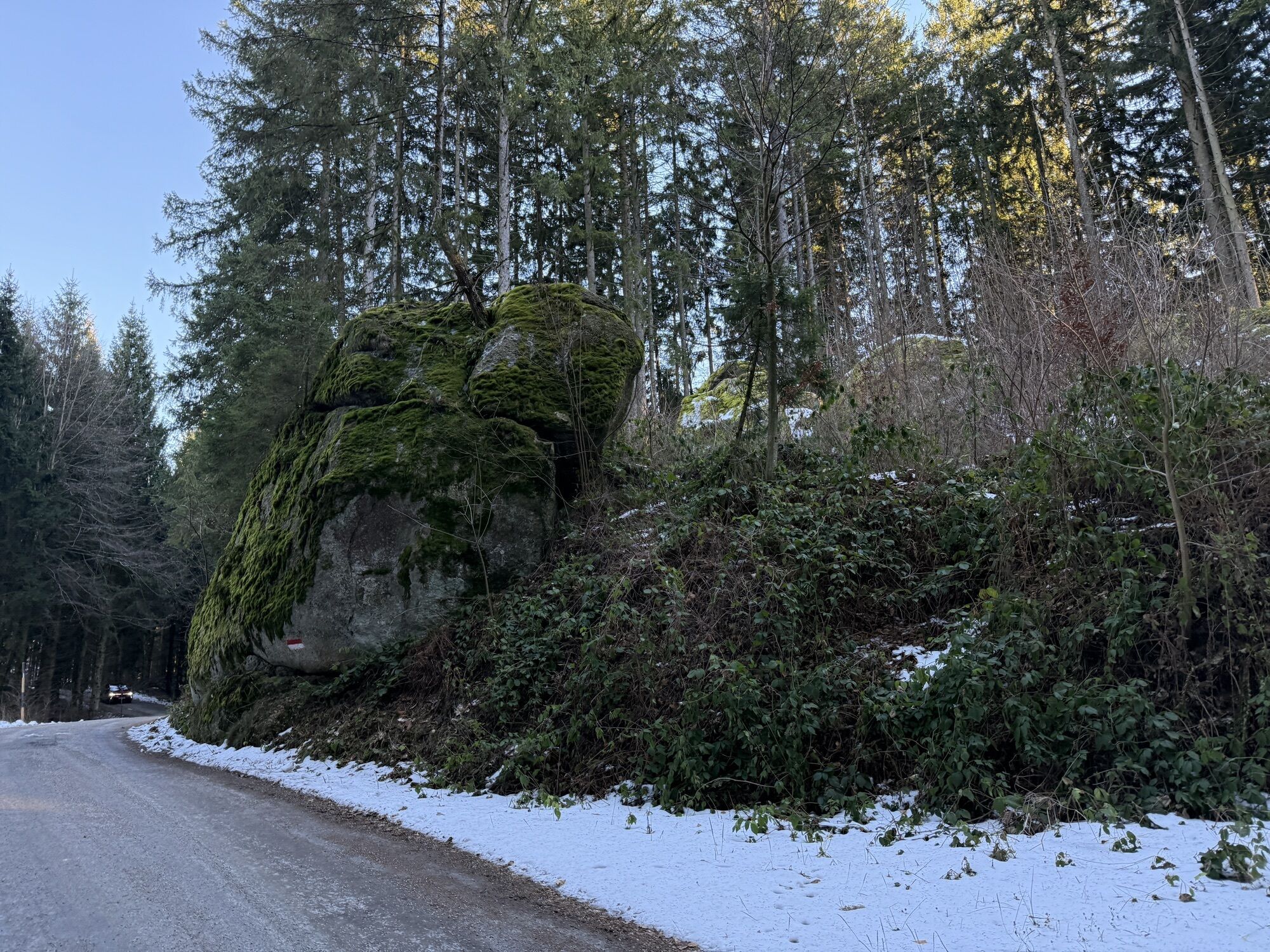
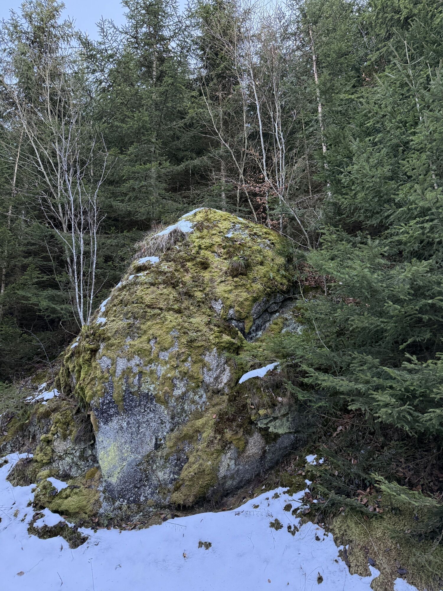
The recommended starting point for the Johannesweg pilgrimage is the municipality of Pierbach. But you can begin walking from any of the places along the trail. A few metres past the village sign on the...
Opis
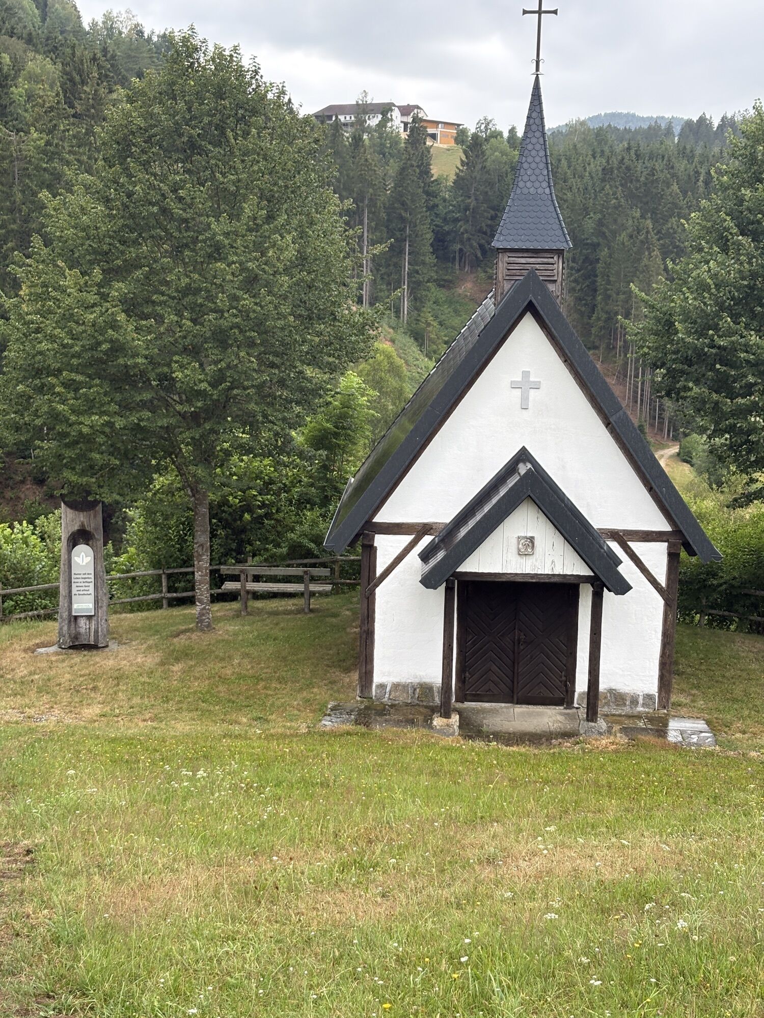
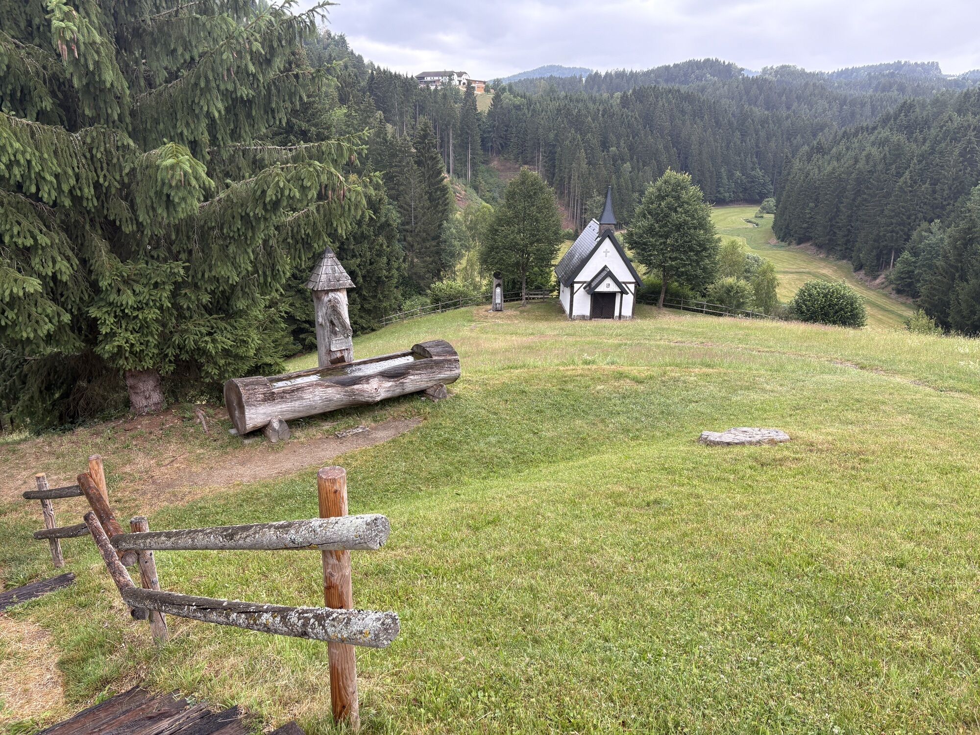
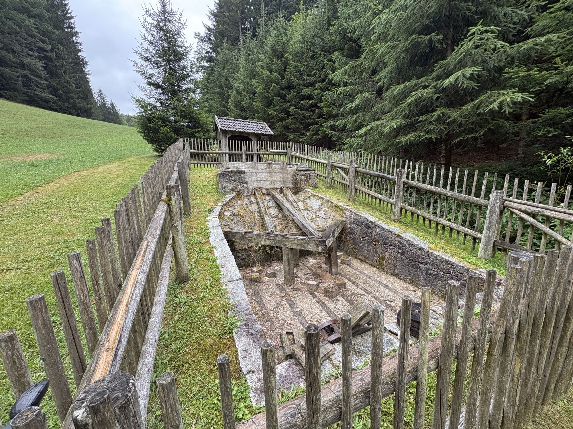
The recommended starting point for the Johannesweg pilgrimage is the municipality of Pierbach. But you can begin walking from any of the places along the trail. A few metres past the village sign on the western edge of Pierbach we fork right, head up the Ramlberg and onward to the Irxenmayr family farm. Here you will find the Johannesbrunnen (St John's well) and the Engelskapelle (Chapel of the Angels, which are inviting places to stop and rest. If you like, you can visit the Irxwasser bottling plant and the ball mill and refill your water bottle.
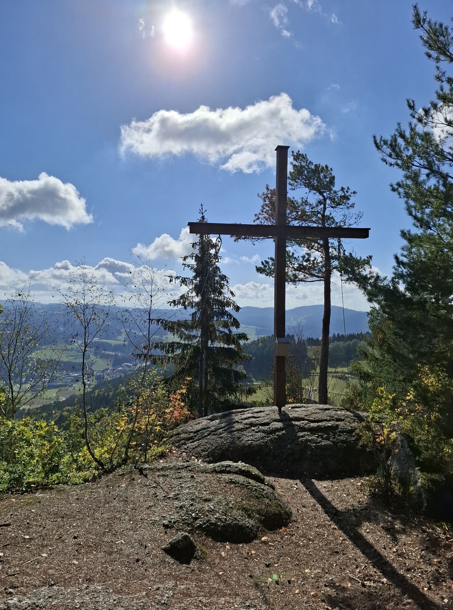
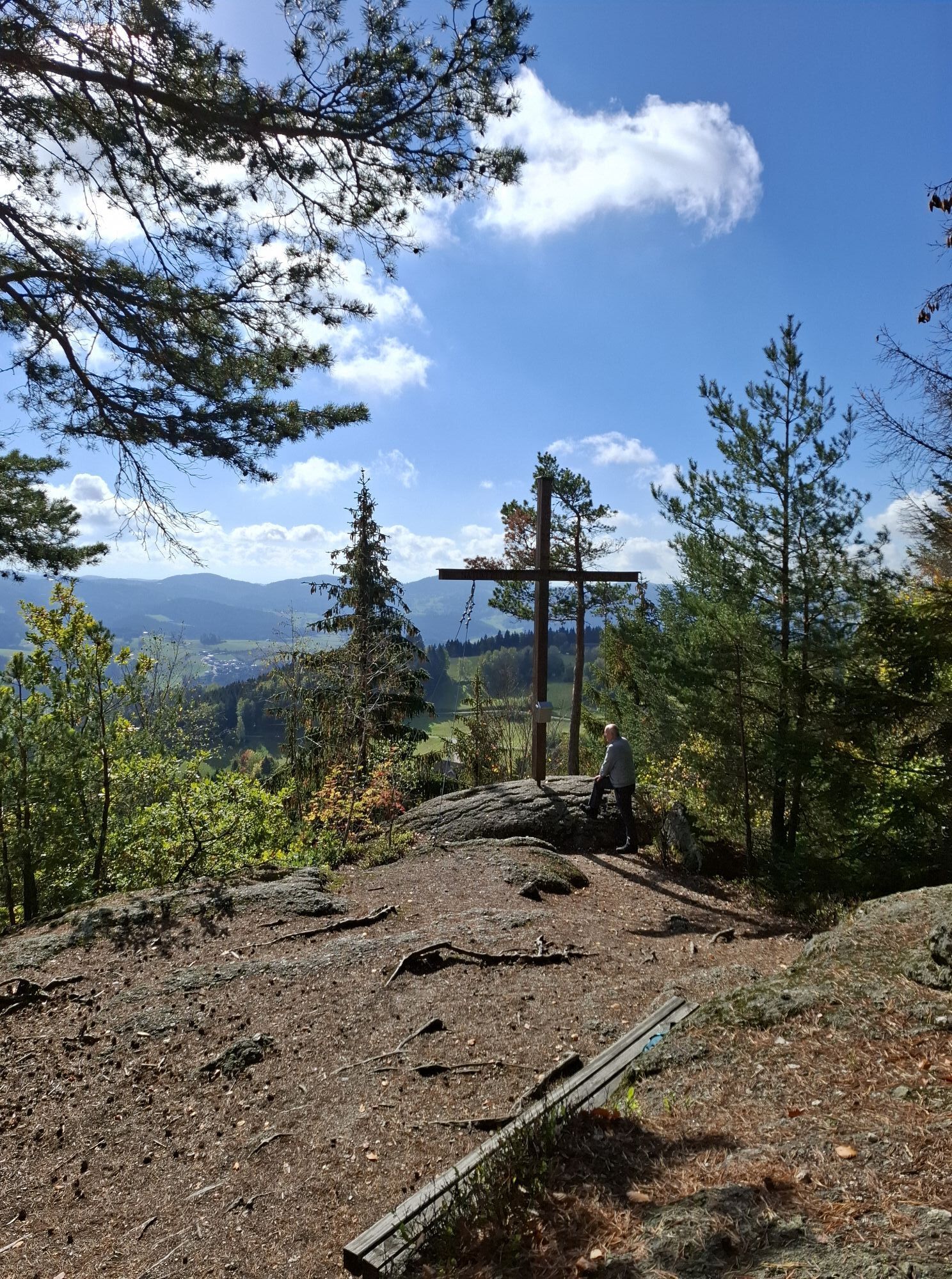
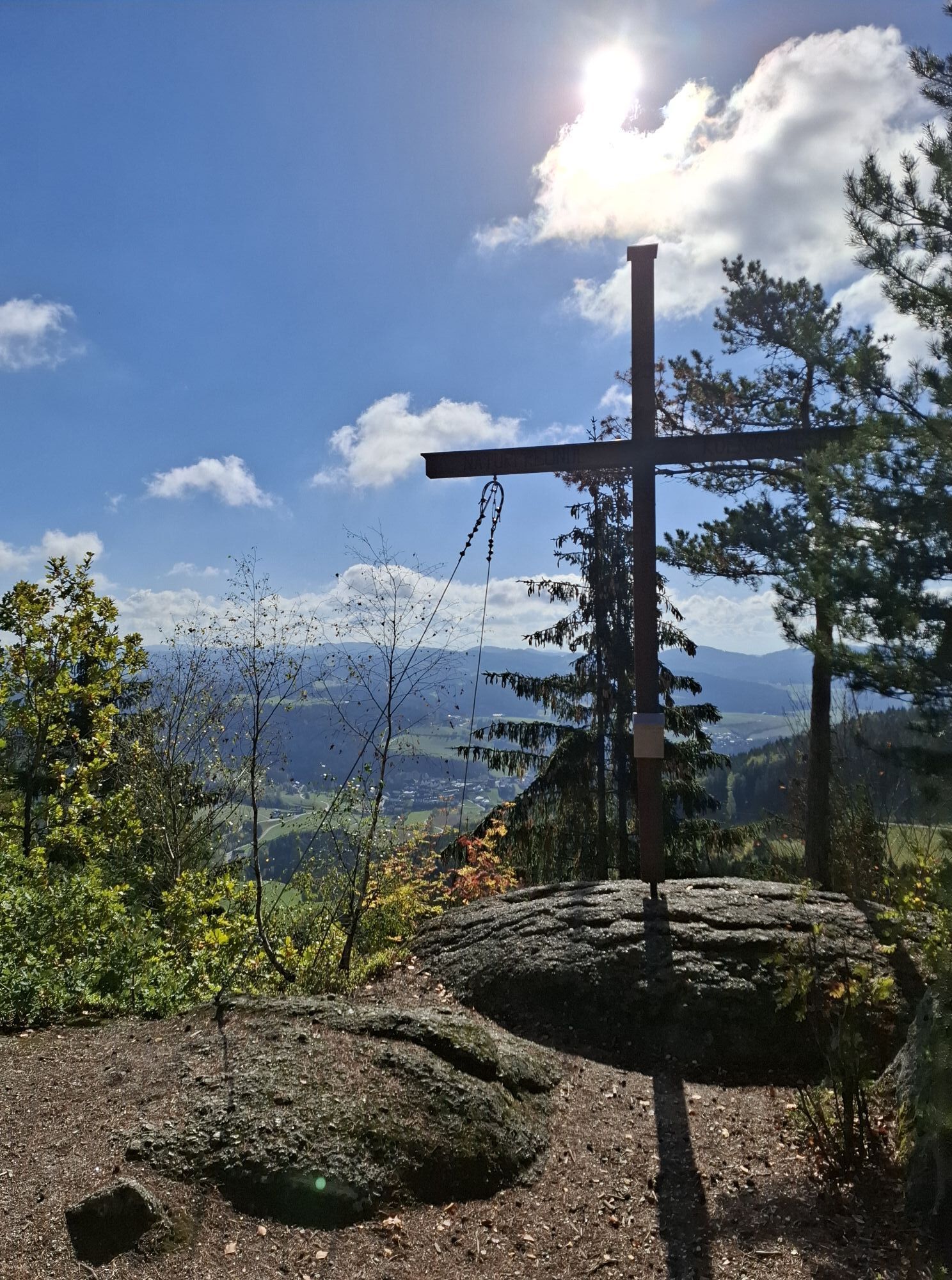
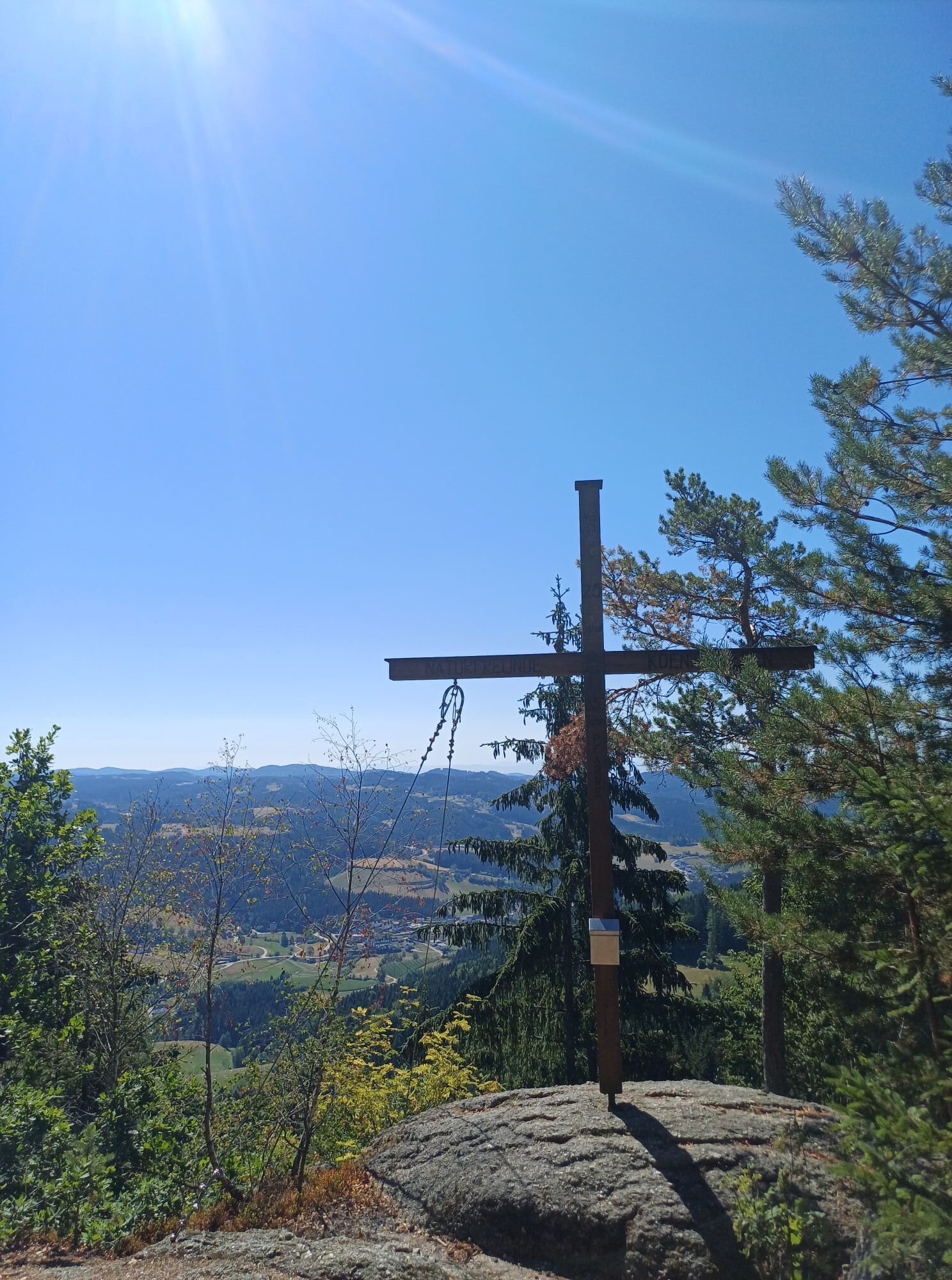
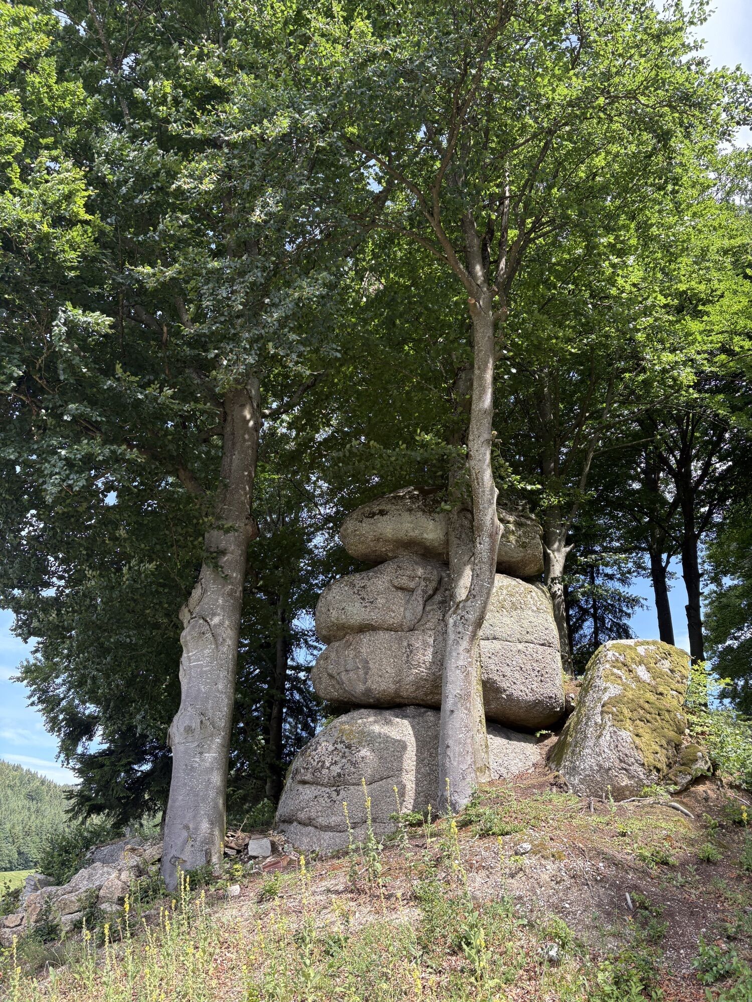
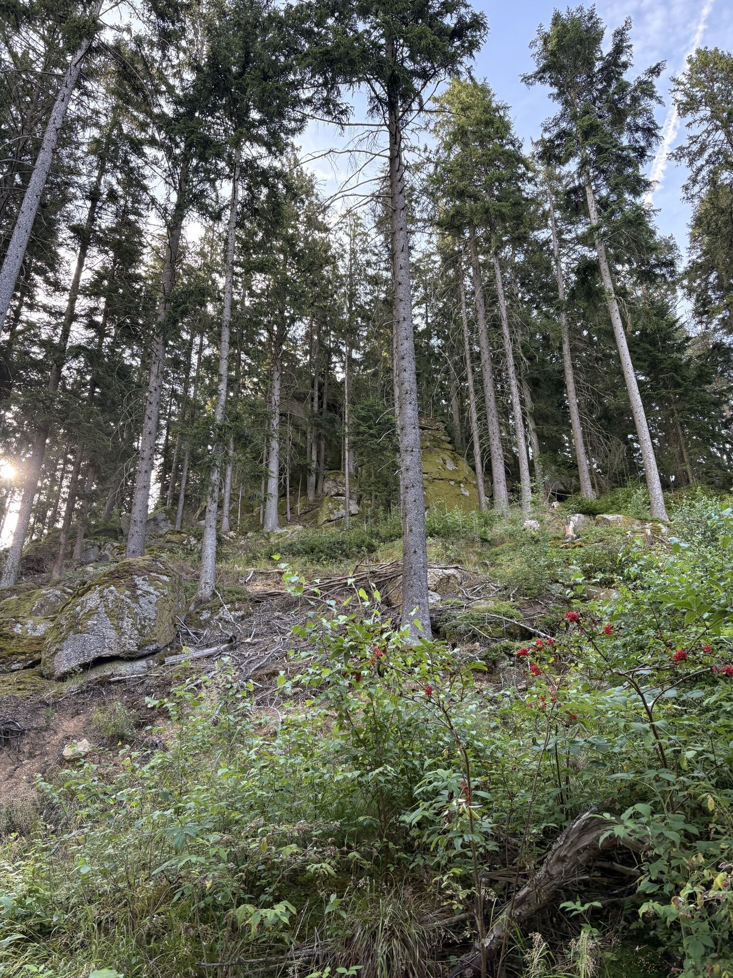
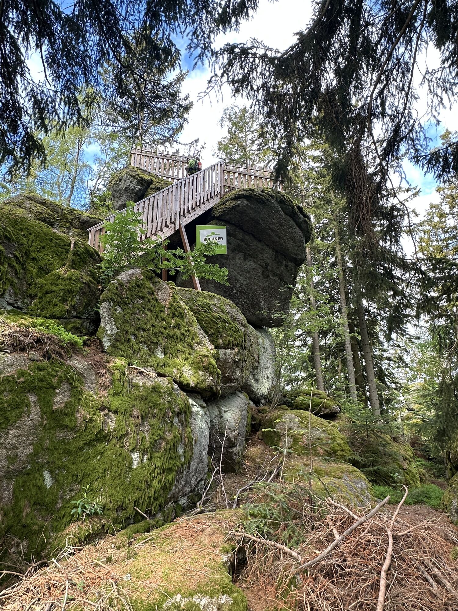
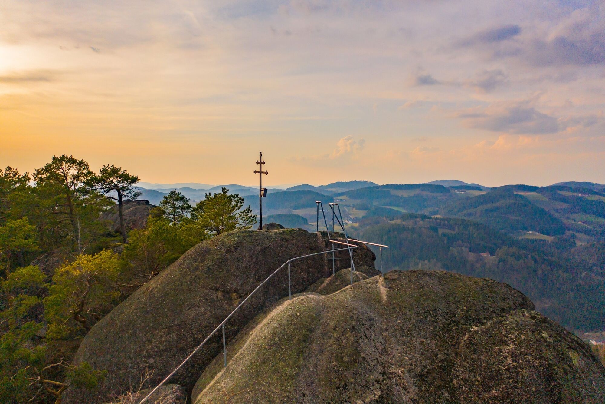
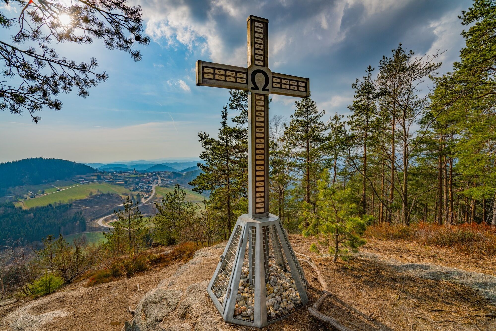
We then follow the Little Naarn River downward for a while in the direction of Schönau. Upon leaving Schönau, we head up to the Herrgottsitz. The climb up to this rock, with its newly erected summit cross, is not particularly strenuous. Legend has it that after God had finished creating the world, he rested contentedly in the seat-shaped hollow of this rock formation. However, it’s more likely that the rock was used as a pagan sacrificial altar.
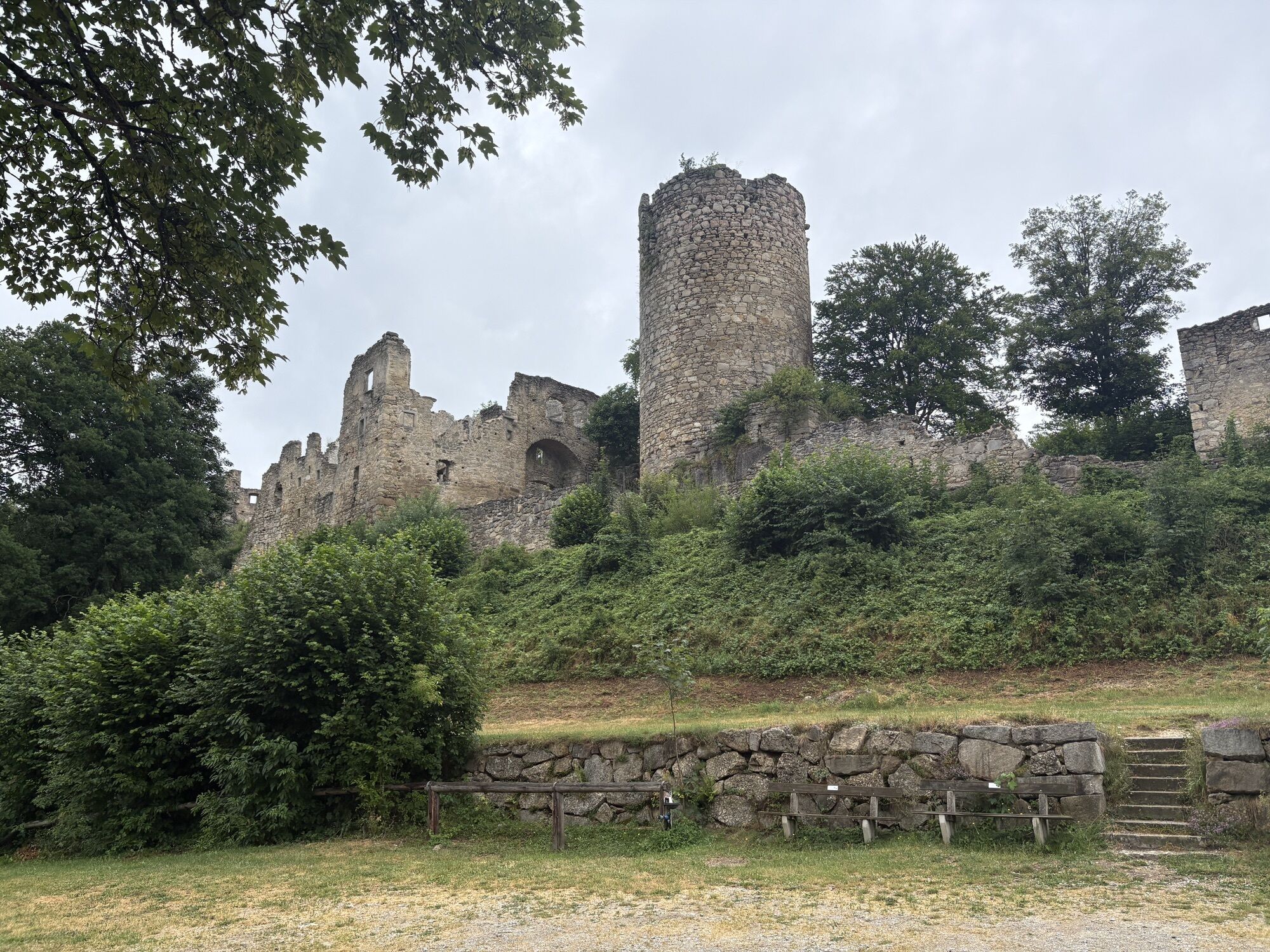
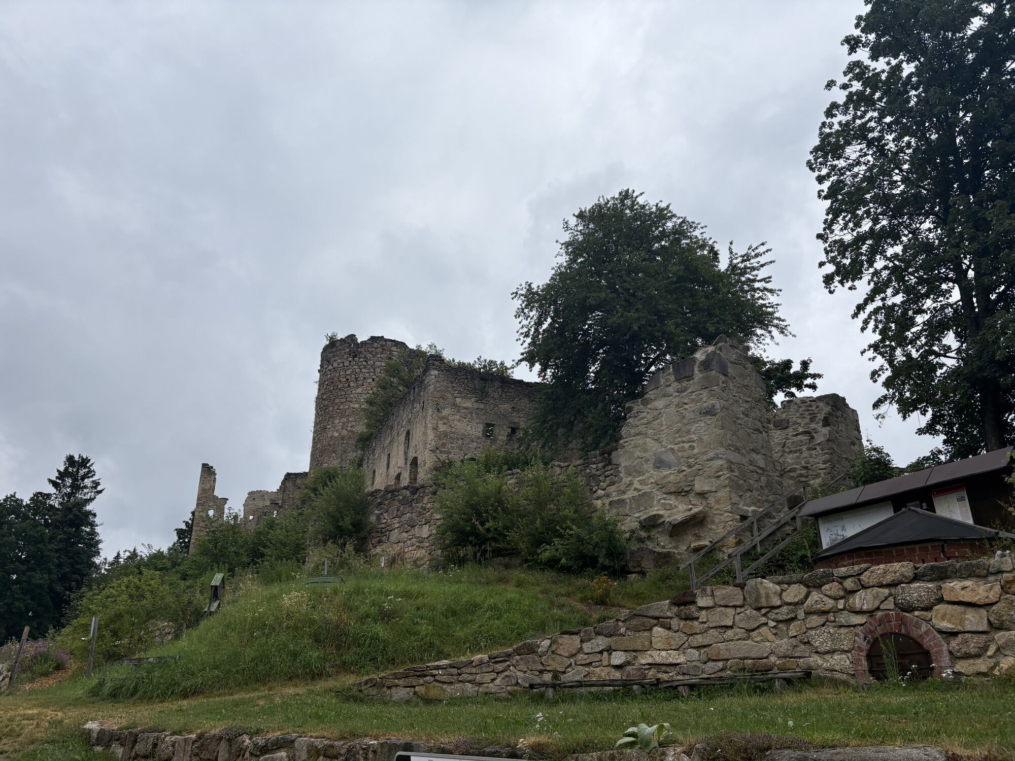
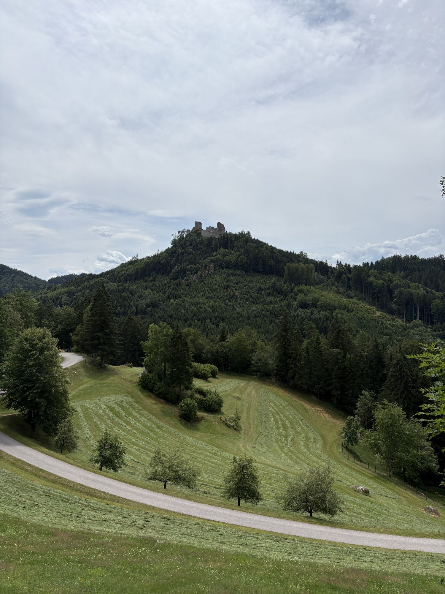
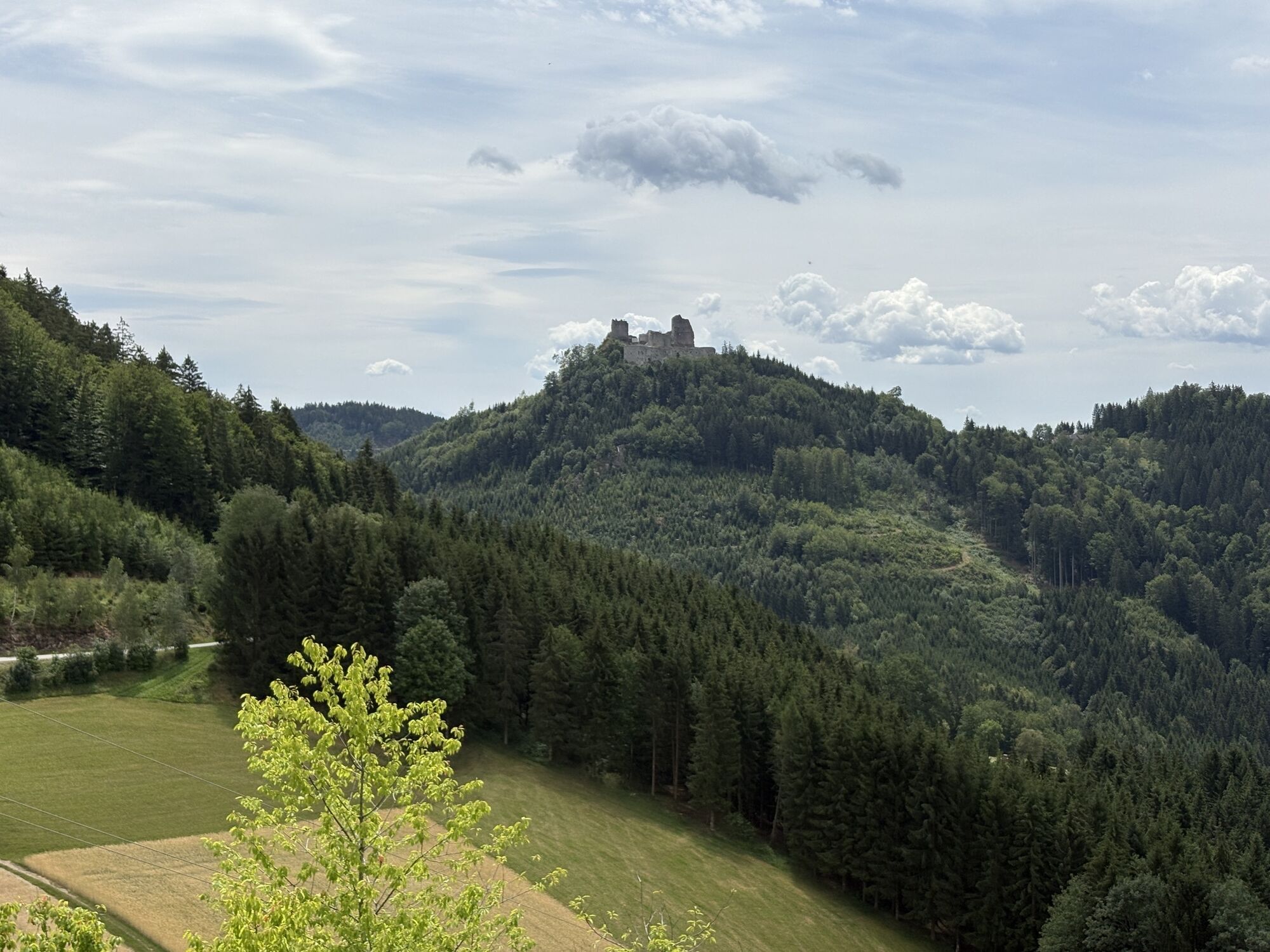
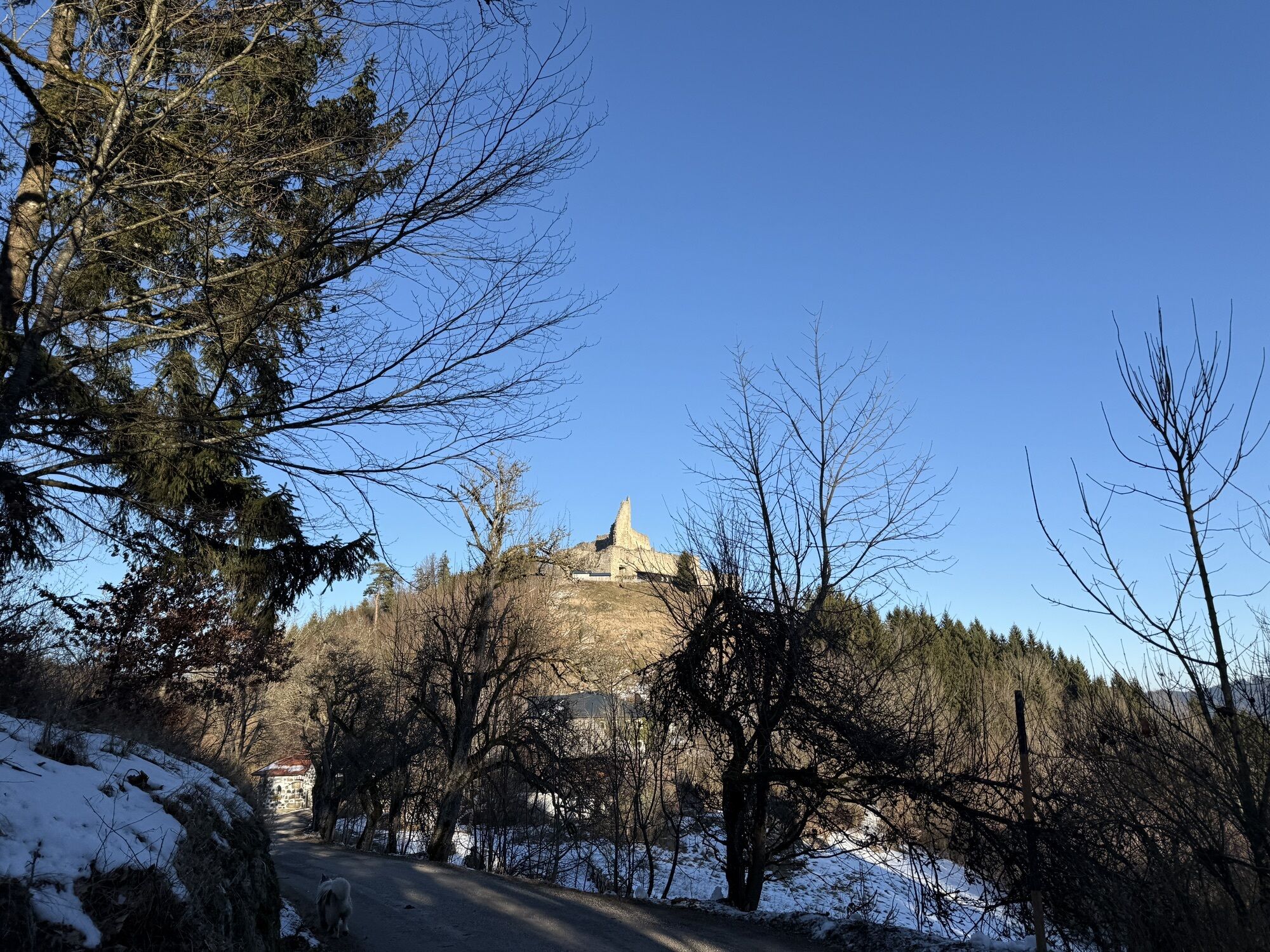
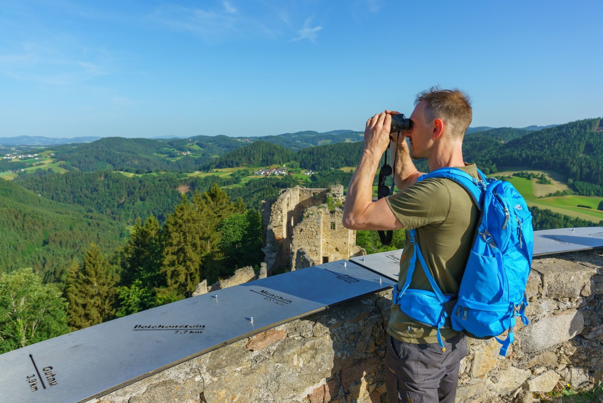
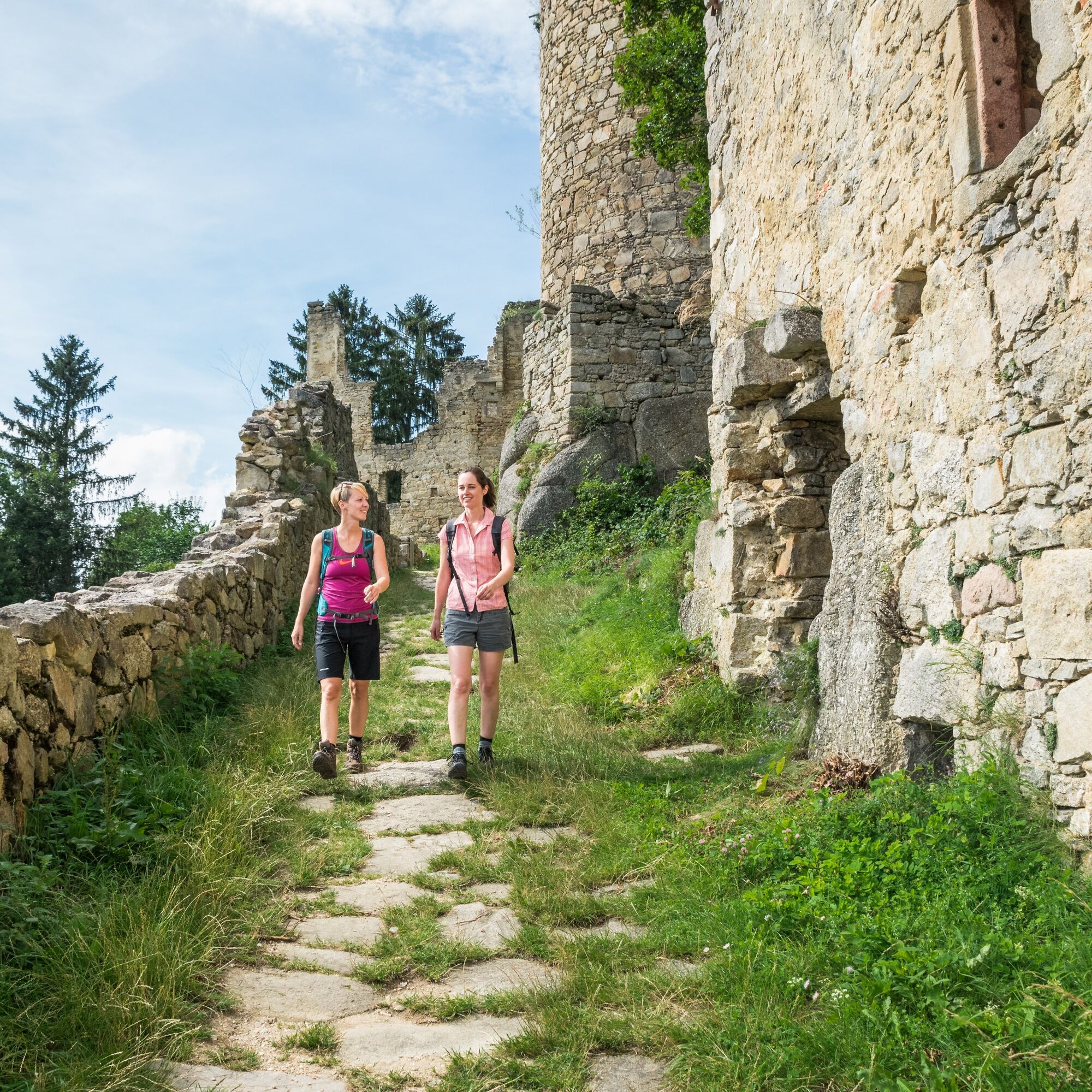
The trail now takes us onward to the Prandegg Castle ruin and the Zehentstöckl Castle Museum. From its distinctive round tower there is a glorious panoramic view all the way to the Alps.
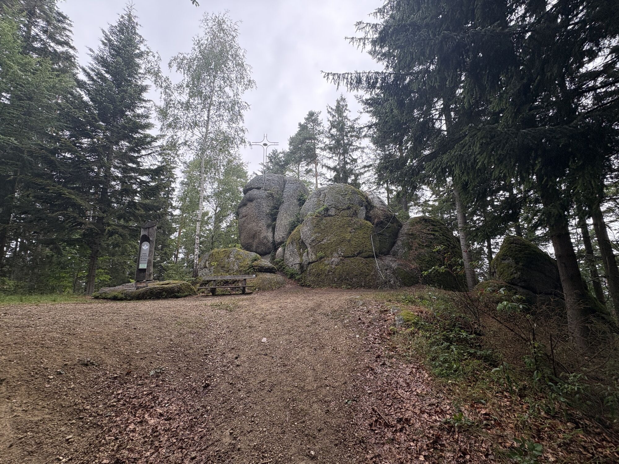
We follow the path down into the valley of the Waldaist, where the water typically contains a high level of iron, then onward to the Herzogreither Rock, which is visible from some way off. You can still see the remains of abutments for posts and palisades at the top of a former wooden castle. Here too, a number of sacrificial bowls appear to suggest cultic activities in ancient times.
The Johannesweg Trail now leads us onward to St Leonhard bei Freistadt. A visit to the Wallfahrtskirche (or pilgrimage church), which dates from as far back as the beginning of the 12th century, is a fitting stop on our pilgrimage. The Bründlkapelle in the centre of the village is always worth looking out for. This chapel was built in 1728 on the ancient track that led from St Leonhard to Ennsedt. According to locals, the Bründl spring-water has significant healing powers, particularly for the eyes and ears.
Next we head uphill over the Haiderberg to Langfirling and Waldfeld, where we soon reach the Galgenbühel hill. In 1570, Sir Christian Haim, the Lord of Reichenstein, erected a set of gallows (still visible today through the trees) on land which was part of the Robischhof farm. This was intended as a deterrent and a show of strength, after his subjects revolted on account of the high level of vassalage and other levies imposed.
The trail now takes us downhill, through the forest and along a major road until we come to the Zwischenstromwiese meadow, the confluence of the two rivers, the Black Aist and the White Aist.
We follow the White Aist into the centre of the village of Weitersfelden.
Along meadow and forest paths and past an open-air cinema, we leave the houses behind, eventually reaching the Kammerer Cross. Take time to appreciate the magnificent view all the way to the Alps. You can spend a few quiet moments in the chapel there before setting out along the traiĺ towards Kaltenberg.
However, before we arrive in Kaltenberg, (the Mühlviertel’s second largest place of pilgrimage dedicated to the Virgin Mary), the path takes us past the original chapel and the Augenbründl. The Augenbründl, located roughly 150 metres north of the original chapel, was revered as a healing spring as far back as 1600, and was frequented chiefly by those with eye diseases.
We now return to the trail and head for Unterweißenbach. We pass 14(!) chapels built in exposed stone, a style typical of the region, gaining 200 metres in altitude. The roofs of the chapels are surmounted with the papal cross, while the facades are adorned with wooden reliefs of the stonemason Felix Weiß of Liebenau. This part of the path takes the form of a set of “Stations of the Cross”, where the eighth station is nicknamed the “Schüsselkapelle” after the water basin (or Schüssel) with its stone surround.
At length we reach Unterweißenbach with its parish church dedicated to St Nicholas. Culture aficionados should note its fine ribbed vaulting.
Next we clamber up to the Wegererstein. Our reward for the arduous climb to the highest point of Unterweißenbach is the lovely view down over the market, and beyond to Kaltenberg.
The trail takes us next to the Einsiedlerklause, where Sister Leonilla Wahlmüller, a Hermit of the Holy Cross known for her warm-hearted generosity, used to provide groups of pilgrims with advice and comfort. The whole hill is considered to be a place of power with special energies.
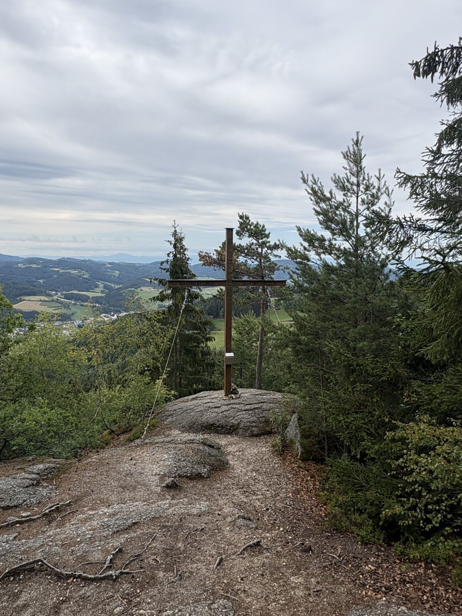
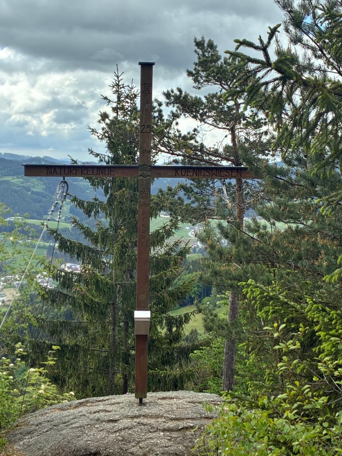
We now follow a forest track up to a natural platform surmounted by the Harlingsedt Summit Cross. Here we enjoy another glorious view over the rolling countryside of the Mühlviertel Alm, before descending the path to Königswiesen. On arrival in the market in Königswiesen it is worth taking a look in the church, with its unique loop rib vaulting. Then we benefit from a trek through the spectacular natural countryside to the village of Mötlas, where there is a lovely exposed stone chapel. We go on around the Bischofsberg and then uphill to the Ruttenstein ruin.
Once upon a time this castle was enormous and had seven circular towers. It dates back to the 12th century, is considered one of the most impressive ruins in the country and has been shown to be the largest fortification in Austria. At the Friedensfelsen (or Rock of Peace), situated above Pierbach, the “Finis Terrae”, the endpoint of the trail, gives us an opportunity for retrospection and reflection: “Look back at what you have experienced and take what you have learned home with you.”
Individual route planning
Depending on the time you have available and your level of fitness, you can visit www.johannesweg.at to choose between several different suggestions for your trip. The classic start point is Pierbach. However, you can of course set out from any location along the Johannesweg Trail. Normally you should allow 3 or 4 days for your pilgrimage. There is an accommodation list on the home page to help you find places to stay.
True to our motto, “Walk the path”, the Tourist Information Team for the Mühlviertler Alm at Freistadt will be happy to put together a personalised hike to suit your individual wants and needs.
We then follow the Little Naarn River downward for a while in the direction of Schönau. Upon leaving Schönau, we head up to the Herrgottsitz. The climb up to this rock, with its newly erected summit cross, is not particularly strenuous. Legend has it that after God had finished creating the world, he rested contentedly in the seat-shaped hollow of this rock formation. However, it’s more likely that the rock was used as a pagan sacrificial altar.
The trail now takes us onward to the Prandegg Castle ruin and the Zehentstöckl Castle Museum. From its distinctive round tower there is a glorious panoramic view all the way to the Alps.
We follow the path down into the valley of the Waldaist, where the water typically contains a high level of iron, then onward to the Herzogreither Rock, which is visible from some way off. You can still see the remains of abutments for posts and palisades at the top of a former wooden castle. Here too, a number of sacrificial bowls appear to suggest cultic activities in ancient times.
The Johannesweg Trail now leads us onward to St Leonhard bei Freistadt. A visit to the Wallfahrtskirche (or pilgrimage church), which dates from as far back as the beginning of the 12th century, is a fitting stop on our pilgrimage. The Bründlkapelle in the centre of the village is always worth looking out for. This chapel was built in 1728 on the ancient track that led from St Leonhard to Ennsedt. According to locals, the Bründl spring-water has significant healing powers, particularly for the eyes and ears.
Next we head uphill over the Haiderberg to Langfirling and Waldfeld, where we soon reach the Galgenbühel hill. In 1570, Sir Christian Haim, the Lord of Reichenstein, erected a set of gallows (still visible today through the trees) on land which was part of the Robischhof farm. This was intended as a deterrent and a show of strength, after his subjects revolted on account of the high level of vassalage and other levies imposed.
The trail now takes us downhill, through the forest and along a major road until we come to the Zwischenstromwiese meadow, the confluence of the two rivers, the Black Aist and the White Aist.
We follow the White Aist into the centre of the village of Weitersfelden.
Along meadow and forest paths and past an open-air cinema, we leave the houses behind, eventually reaching the Kammerer Cross. Take time to appreciate the magnificent view all the way to the Alps. You can spend a few quiet moments in the chapel there before setting out along the traiĺ towards Kaltenberg.
However, before we arrive in Kaltenberg, (the Mühlviertel’s second largest place of pilgrimage dedicated to the Virgin Mary), the path takes us past the original chapel and the Augenbründl. The Augenbründl, located roughly 150 metres north of the original chapel, was revered as a healing spring as far back as 1600, and was frequented chiefly by those with eye diseases.
We now return to the trail and head for Unterweißenbach. We pass 14(!) chapels built in exposed stone, a style typical of the region, gaining 200 metres in altitude. The roofs of the chapels are surmounted with the papal cross, while the facades are adorned with wooden reliefs of the stonemason Felix Weiß of Liebenau. This part of the path takes the form of a set of “Stations of the Cross”, where the eighth station is nicknamed the “Schüsselkapelle” after the water basin (or Schüssel) with its stone surround.
At length we reach Unterweißenbach with its parish church dedicated to St Nicholas. Culture aficionados should note its fine ribbed vaulting.
Next we clamber up to the Wegererstein. Our reward for the arduous climb to the highest point of Unterweißenbach is the lovely view down over the market, and beyond to Kaltenberg.
The trail takes us next to the Einsiedlerklause, where Sister Leonilla Wahlmüller, a Hermit of the Holy Cross known for her warm-hearted generosity, used to provide groups of pilgrims with advice and comfort. The whole hill is considered to be a place of power with special energies.
We now follow a forest track up to a natural platform surmounted by the Harlingsedt Summit Cross. Here we enjoy another glorious view over the rolling countryside of the Mühlviertel Alm, before descending the path to Königswiesen. On arrival in the market in Königswiesen it is worth taking a look in the church, with its unique loop rib vaulting. Then we benefit from a trek through the spectacular natural countryside to the village of Mötlas, where there is a lovely exposed stone chapel. We go on around the Bischofsberg and then uphill to the Ruttenstein ruin.
Once upon a time this castle was enormous and had seven circular towers. It dates back to the 12th century, is considered one of the most impressive ruins in the country and has been shown to be the largest fortification in Austria. At the Friedensfelsen (or Rock of Peace), situated above Pierbach, the “Finis Terrae”, the endpoint of the trail, gives us an opportunity for retrospection and reflection: “Look back at what you have experienced and take what you have learned home with you.”
Individual route planning
Depending on the time you have available and your level of fitness, you can visit www.johannesweg.at to choose between several different suggestions for your trip. The classic start point is Pierbach. However, you can of course set out from any location along the Johannesweg Trail. Normally you should allow 3 or 4 days for your pilgrimage. There is an accommodation list on the home page to help you find places to stay.
True to our motto, “Walk the path”, the Tourist Information Team for the Mühlviertler Alm at Freistadt will be happy to put together a personalised hike to suit your individual wants and needs.
Trasa
Jakobuskirche
(634 m)
Miejsce kultu
8,3 km
Herrgottsitz
(855 m)
Szczyt
10,7 km
Haiderberg
(907 m)
Szczyt
28,1 km
Kammererberg
(980 m)
Szczyt
44,1 km
Wegererstein
(834 m)
Szczyt
55,3 km
Hansenberg
(908 m)
Szczyt
59,5 km
Bodenberg
(711 m)
Szczyt
77,2 km
Trasa
Johannesweg (St. John's pilgrimage route)
ciężki
Wędrówka
81,41
km
Pierbach
(497 m)
Wioska
0,0 km
Gasthaus Populorum - Mühlviertler Tenne
(496 m)
Restauracja
0,1 km
Pfarrkirche Pierbach
(494 m)
Miejsce kultu
0,1 km
Naarntal
(490 m)
Rozliczenie
0,2 km
Engelskapelle
(529 m)
Miejsce kultu
3,5 km
Kaining
(595 m)
Wioska
5,6 km
Jakobuskirche
(634 m)
Miejsce kultu
8,3 km
Schönau im Mühlkreis
(631 m)
Wioska
8,3 km
Stoaninger Alm
(719 m)
Restauracja
9,6 km
Herrgottsitz
(855 m)
Szczyt
10,7 km
Pehersdorf
(730 m)
Wioska
12,9 km
Taverne
(707 m)
Restauracja
14,6 km
Prandegg
(515 m)
Rozliczenie
16,4 km
Stiftung
(617 m)
Rozliczenie
17,3 km
Zum Singenden Wirt
(624 m)
Restauracja
17,5 km
Irrenedt
(630 m)
Rozliczenie
18,2 km
Herzogreither Berg
(811 m)
Szczyt
21,3 km
St. Leonhard bei Freistadt
(810 m)
Wioska
23,8 km
Gasthaus Janko Gottfried
(808 m)
Restauracja
23,9 km
Bründl-Kapelle
(820 m)
Miejsce kultu
24,4 km
Haiderberg
(907 m)
Szczyt
28,1 km
Panoramablick Haiderberg
(903 m)
Punkt widzenia
28,2 km
Gasthaus Piber
(844 m)
Restauracja
29,7 km
Langfirling
(841 m)
Rozliczenie
29,9 km
Waldfeld
(818 m)
Rozliczenie
33,6 km
Rabenberg
(702 m)
Rozliczenie
35,3 km
Weitersfelden
(739 m)
Wioska
37,0 km
Gasthof Neulinger "Zum Erzherzog Franz Salvator"
(726 m)
Restauracja
37,2 km
Kath. Pfarrkirche Hl. Ulrich
(732 m)
Miejsce kultu
37,2 km
Gasthof zur Post
(727 m)
Restauracja
37,3 km
Nadelbach
(765 m)
Wioska
38,8 km
Jordanmühl
(752 m)
Korytarz/teren
39,8 km
Kammererkreuz
(979 m)
Miejsce kultu
44,0 km
Kammererberg
(980 m)
Szczyt
44,1 km
Silberberg
(914 m)
Rozliczenie
45,4 km
Jausenstation Langott
(801 m)
Restauracja
50,3 km
Ursprungkapelle
(842 m)
Miejsce kultu
51,1 km
Kaltenbergerhof
(843 m)
Restauracja
51,4 km
Kaltenberg
(843 m)
Wioska
51,4 km
Wallfahrtskirche Mariä Heimsuchung
(842 m)
Miejsce kultu
51,4 km
Gasthaus Fürst
(638 m)
Restauracja
53,7 km
Pfarrkirche hl Nikolaus
(640 m)
Miejsce kultu
53,7 km
Unterweißenbach
(638 m)
Wioska
53,7 km
Pizza Baron
(637 m)
Restauracja
53,8 km
Wegererstein
(834 m)
Szczyt
55,3 km
Hirschalm
(844 m)
Restauracja
56,7 km
Harlingsedt
(861 m)
Wioska
59,3 km
Hansenberg
(908 m)
Szczyt
59,5 km
Unter der Leithen
(785 m)
Korytarz/teren
60,8 km
Königswieser Hof
(609 m)
Restauracja
64,1 km
Königswiesen
(610 m)
Wioska
64,1 km
Wirtshaus am Platz
(609 m)
Restauracja
64,2 km
Pfarrkirche Königswiesen
(610 m)
Miejsce kultu
64,2 km
Gasthaus Wahlmüller
(721 m)
Restauracja
71,5 km
Mötlas
(719 m)
Wioska
71,6 km
Schutzhütte Ruttenstein
(696 m)
Restauracja
76,3 km
Bodenberg
(711 m)
Szczyt
77,2 km
Gasthof Günther Trinkl
(492 m)
Restauracja
81,1 km
Naarntal
(490 m)
Rozliczenie
81,1 km
Pfarrkirche Pierbach
(494 m)
Miejsce kultu
81,1 km
Gasthaus Populorum - Mühlviertler Tenne
(496 m)
Restauracja
81,3 km
Pierbach
(497 m)
Wioska
81,3 km
Autor
Dostarczone przez Destination Mühlviertel
Wycieczkę Johannesweg (St. John's pilgrimage route) zapewnia outdooractive.com.











Ostatnio śledzony
4 dni temu

Wyceny

2 Komentarze

Kamery internetowe z trasy

Wszystkie kamery internetowe na mapie
Zainstaluj aplikację za darmo i porównaj obrazy na żywo z kilku miejsc, zanim wyruszysz w drogę.
Skorzystaj już teraz z funkcji „ bergfex ” w aplikacji
Zeskanuj kod QR za pomocą aparatu
Po zainstalowaniu aplikacji treść otworzy się od razu. Jeśli jeszcze nie masz tej aplikacji, zostaniesz przekierowany do strony, z której możesz ją bezpłatnie pobrać.
Popularne wycieczki w okolicy
-
4,8
Ruine Prandegg
średniWędrówka 15,6 km -
4,6
3Gipfelweg 07 mit Klimaanpassungsthemen
średniWędrówka 21,3 km -
4,3
Wandern im Liebenauer Moor
światłoWędrówka 4,16 km -
4,1
Wanderung Kefermarkt Buchberg
światłoWędrówka 8,33 km -
4,0
Ruine Ruttenstein
światłoWędrówka 12 km -
4,9
Kefermarkt - K31 - Buchbergweg
światłoWędrówka 8,44 km -
4,0
Schönaubach-Klamm Nr. 84
światłoWędrówka 7 km -
4,5
Sandl - Rosenhoferteiche Rundweg
światłoWędrówka 6,40 km -
3,6
Zwei-Tausender-Tour Tischberg-Eichelberg
światłoWędrówka 12,4 km -
4,7
Burg Prandegg Runde
średniWędrówka 9 km
Wędrówki i tropienie

Ponad 550.000 propozycji wycieczek, szczegółowe mapy i intuicyjny planer tras sprawiają, że aplikacja jest niezbędna dla wszystkich entuzjastów przyrody.

Nie przegap ofert i inspiracji na następne wakacje
Zapisz się do newslettera
Błąd
Wystąpił błąd. Spróbuj ponownie.
Dziękujemy za rejestrację
Twój adres e-mail została dodana do listy mailingowej.
Wycieczki po całej Europie
Austria
Szwajcaria
Niemcy
Włochy
Słowenię
Francja
Holandia
Belgia
Polska
Liechtenstein
Czechy
Słowacja
Hiszpania
Chorwacja
Bośnia i Hercegowina
Luksemburg
Andorra
Portugalia
Islandia
Wielka Brytania
Irlandia
Grecja
Albania
Macedonia Północna
Malta
Norwegia
Czarnogóra
Mołdawia
Kosowo
Węgry
San Marino
Rumunia
Estonia
Łotwa
Białoruś
Cypr
Litwa
Serbia
Bułgaria
Monako
Dania
Szwecja
Finlandia





