







Felder, Bäche und Romantik S9

Up to the chapel on the S4. Then turn right along the main road, after the small forest turn left to the "Schwarzgruber" house. On the Grössing goods road to the Edmair chapel, left over the plateau past...
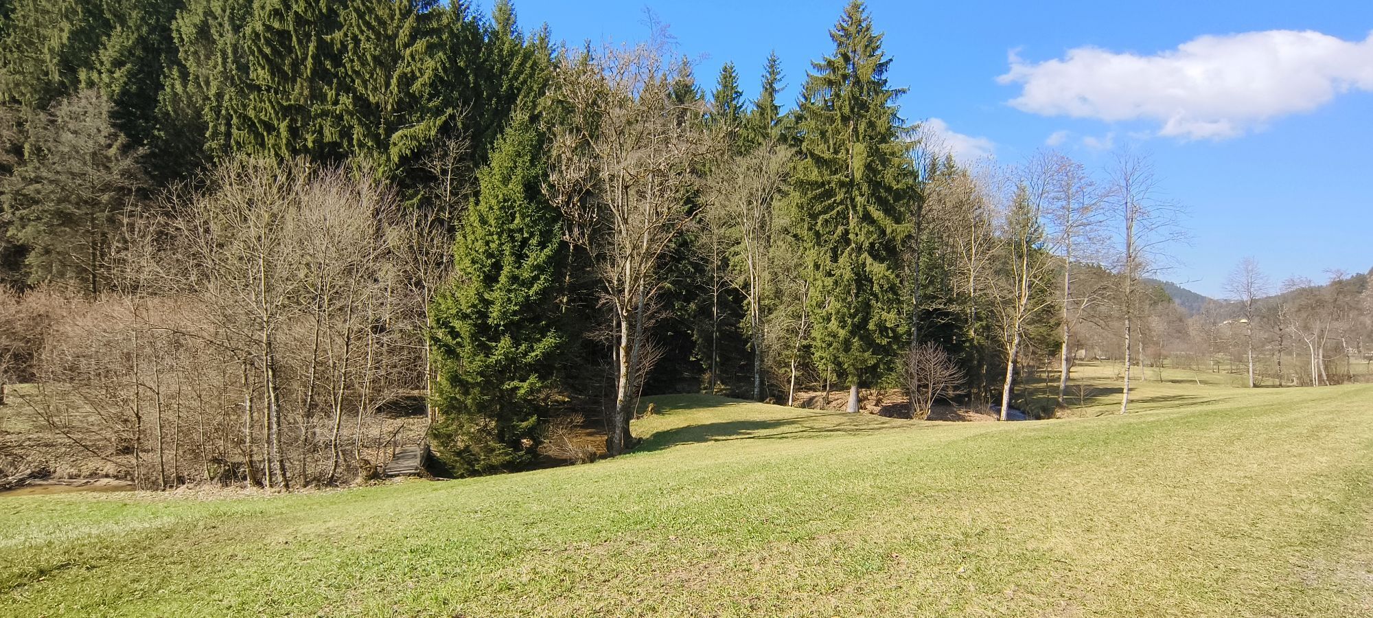
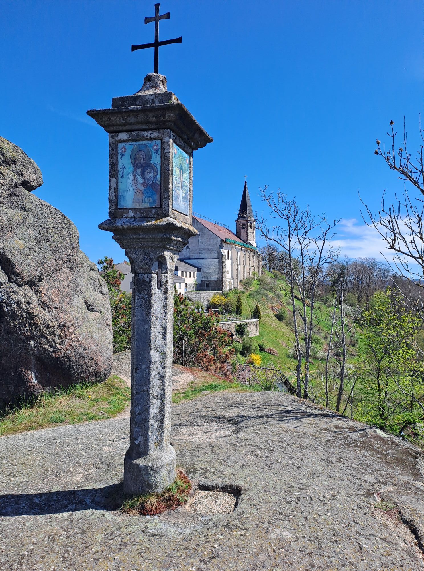
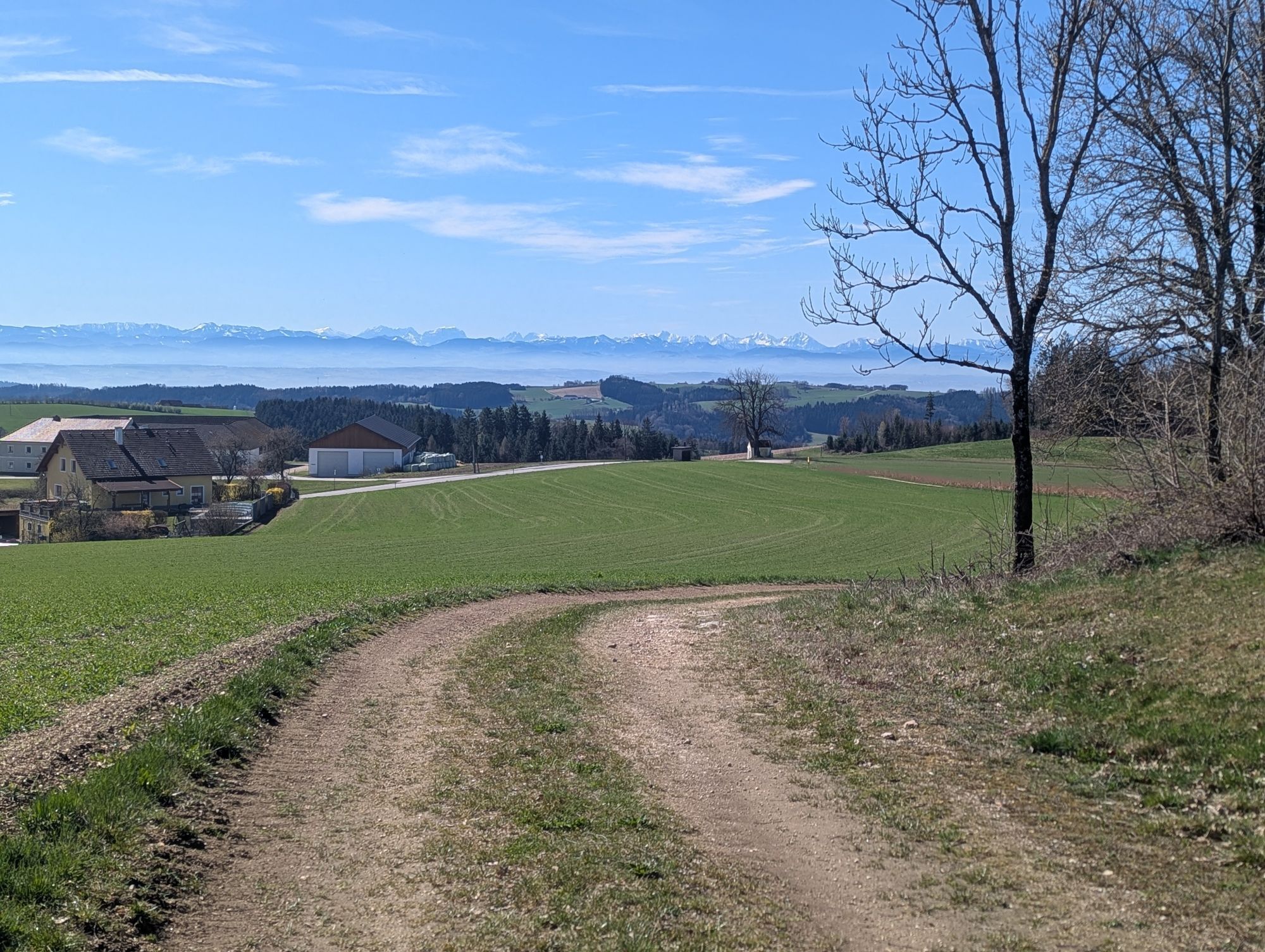
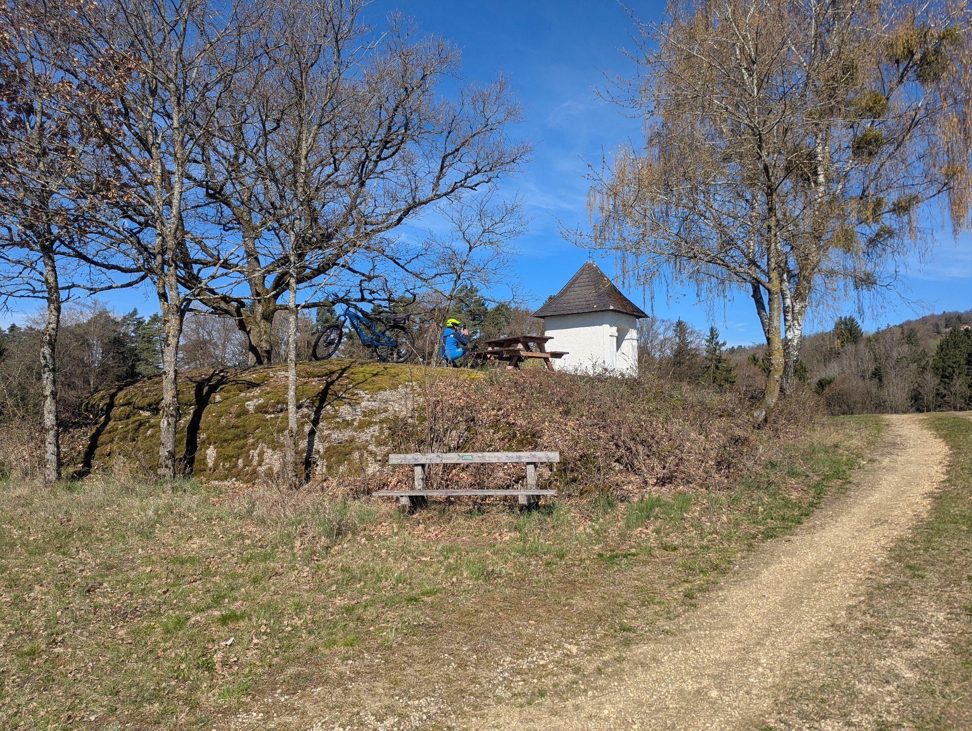
Up to the chapel on the S4. Then turn right along the main road, after the small forest turn left to the "Schwarzgruber" house. On the Grössing goods road to the Edmair chapel, left over the plateau past the "Hochstrasser" house, then right through the forest. Cross a footbridge over a stream to the Stilles Tal municipal road. Pass the Stilles Tal inn on the left (known for its fresh, delicious trout dishes), turn right before the Grill'n bridge and 50 metres later turn left into the beautiful, wild and romantic Senftmühlbach valley. Up through the forest to the district road. Turn right towards Pabneukirchen and then take the first access road on the left. Through meadows and forests to the "Waldpeter" house. Now take the S8 back to the village.




Popularne wycieczki w okolicy
-
4,4
Der Naturparkweg in Rechberg
średniWędrówka 7,54 km -
4,6
Schwertberg: Weltstoarunde
światłoWędrówka 11,4 km -
4,8
Tragwein - Lebensquell-Runde
światłoWędrówka 12,8 km -
4,8
Ruine Prandegg
średniWędrówka 15,6 km -
4,2
Wolfsschlucht - auf den Spuren adeliger Kurgäste
Wędrówka 2,29 km -
4,7
Stillensteinklamm, Grein
światłoWędrówka 10,4 km -
4,7
Stillensteinklamm Rundweg über Struden
światłoWędrówka 12,6 km -
4,5
Gobelwarte-Runde, Grein
średniWędrówka 8 km -
4,4
Gobelwarte - Grein, Oberösterreich
średniWędrówka 5,41 km -
4,6
Brandstetterkogel über Matras Steig
światłoWędrówka 6,28 km
Wędrówki i tropienie


Nie przegap ofert i inspiracji na następne wakacje
Twój adres e-mail została dodana do listy mailingowej.





