



WWW Water hiking trail

We walk across the market square towards Windhaag, past the church and after the transformer turn right into Austraße. There we turn into the Reschen-Au and reach the deep well, where the drilling profile...
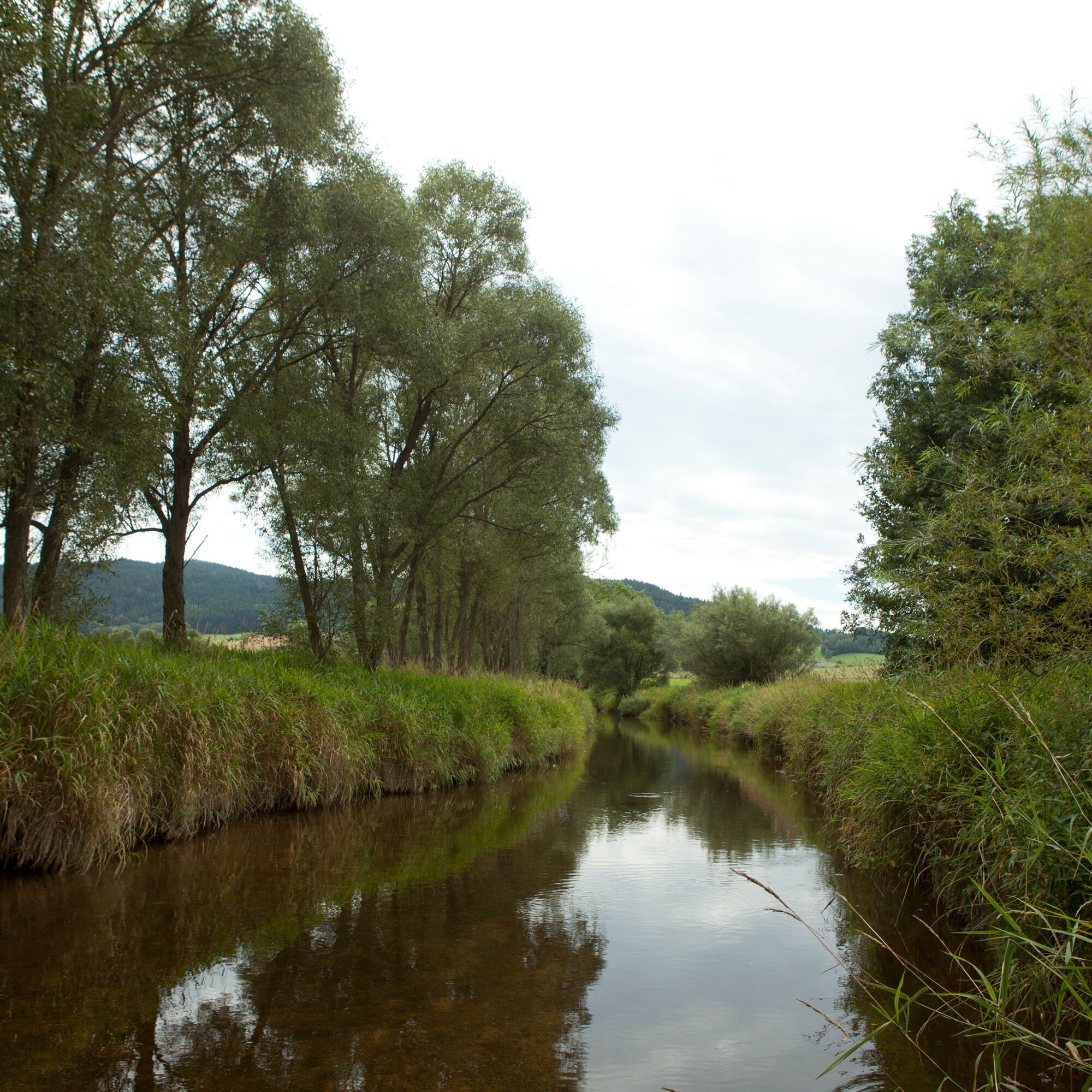
We walk across the market square towards Windhaag, past the church and after the transformer turn right into Austraße. There we turn into the Reschen-Au and reach the deep well, where the drilling profile is described. After the meadow we enjoy the view of the market and after a slight ascent to the Leopoldschläger mountain at the first bend we have a view of the Czech Republic and Mardetschlag. At the spring we can see the system of a hillside catchment. Then we reach the remaining spring tappings and finally the water house. At the forest cross, the market is in front of us again and we walk past the fallow deer enclosure to the starting point "Wanderschuh".



Popularne wycieczki w okolicy
-
4,4
10-Mühlen-Wanderweg Reichenthal
światłoWędrówka 14,2 km -
4,2
Bergkräuter-Wanderweg
średniTrasa tematyczna 13,1 km -
3,9
Rundweg Thurytal-Vierzehn-Freistadt
światłoWędrówka 8,50 km -
4,5
Sandl - Rosenhoferteiche Rundweg
światłoWędrówka 6,40 km -
4,4
Windhaag bei Freistadt - W1, Österreich
światłoWędrówka 11,6 km -
5,0
Sandl - S2 - Rosenhof Rundweg
światłoWędrówka 3 km -
3,8
Hussensteinweg
światłoWędrówka 11,6 km -
3,7
Müllerrundweg
światłoWędrówka 6,28 km -
3,0
Grünbach G2
światłoWędrówka 12,8 km -
4,7
Hammerleitenrundweg Freistadt - IVV
światłoWędrówka 9,68 km
Wędrówki i tropienie


Nie przegap ofert i inspiracji na następne wakacje
Twój adres e-mail została dodana do listy mailingowej.


