


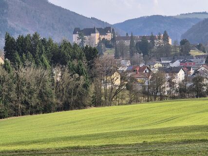
Bad Kreuzen: Kreuzner Donaublickrunde
Zdjęcia naszych użytkowników
-
 © Josef KlingerUtworzono dnia 17.03.2026
 -
 © Josef KlingerUtworzono dnia 17.03.2026
 -
 © Josef KlingerUtworzono dnia 17.03.2026
 -
 © Josef KlingerUtworzono dnia 17.03.2026
 -
 © Josef KlingerUtworzono dnia 17.03.2026
 -
 © Josef KlingerUtworzono dnia 17.03.2026
 -
 © josef duermoserUtworzono dnia 11.03.2026
 -
 © josef duermoserUtworzono dnia 11.03.2026
 -
 © josef duermoserUtworzono dnia 11.03.2026
 -
 © josef duermoserUtworzono dnia 11.03.2026
 -
 © josef duermoserUtworzono dnia 11.03.2026
 -
 © josef duermoserUtworzono dnia 11.03.2026
 -
 © josef duermoserUtworzono dnia 11.03.2026
 -
 © josef duermoserUtworzono dnia 11.03.2026
 -

 © Janina CUtworzono dnia 30.07.2025
 -
 © Sonja EnzenhoferUtworzono dnia 22.06.2025
 -
 © Sonja EnzenhoferUtworzono dnia 22.06.2025
 -
 © Markus Bischof 3Utworzono dnia 26.03.2025
 -
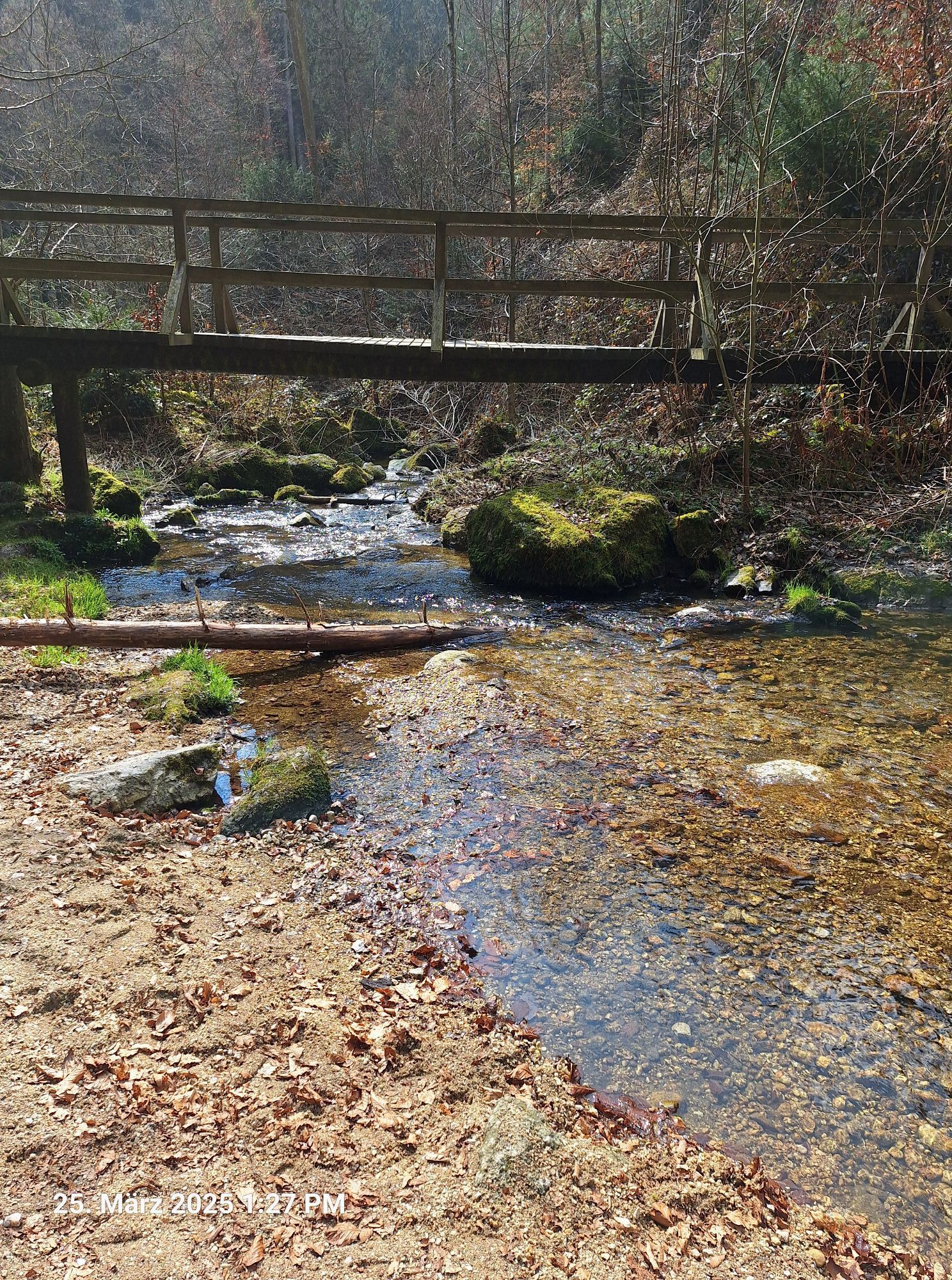
 © Markus Bischof 3Utworzono dnia 25.03.2025
 -
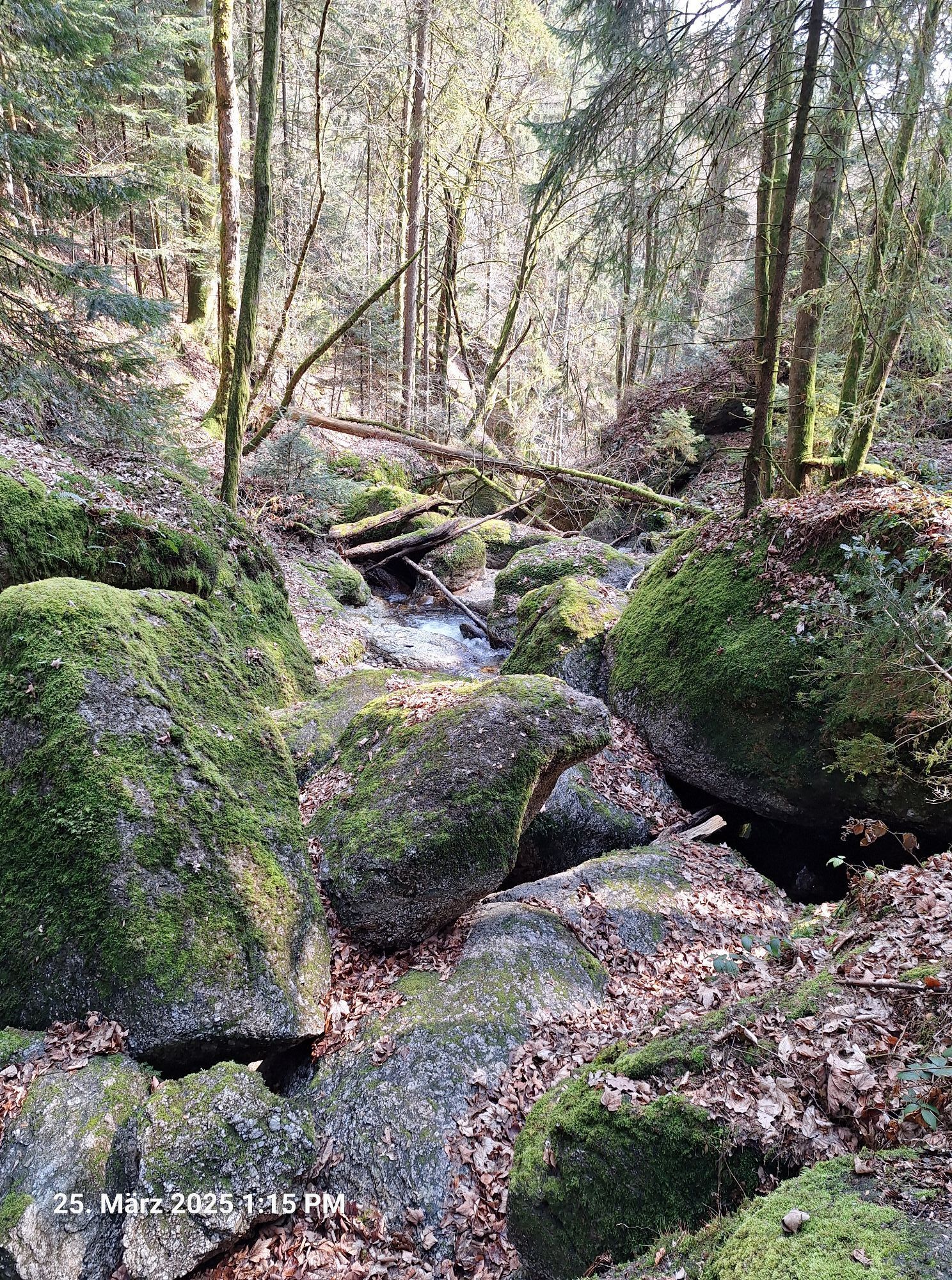
 © Markus Bischof 3Utworzono dnia 25.03.2025
 -
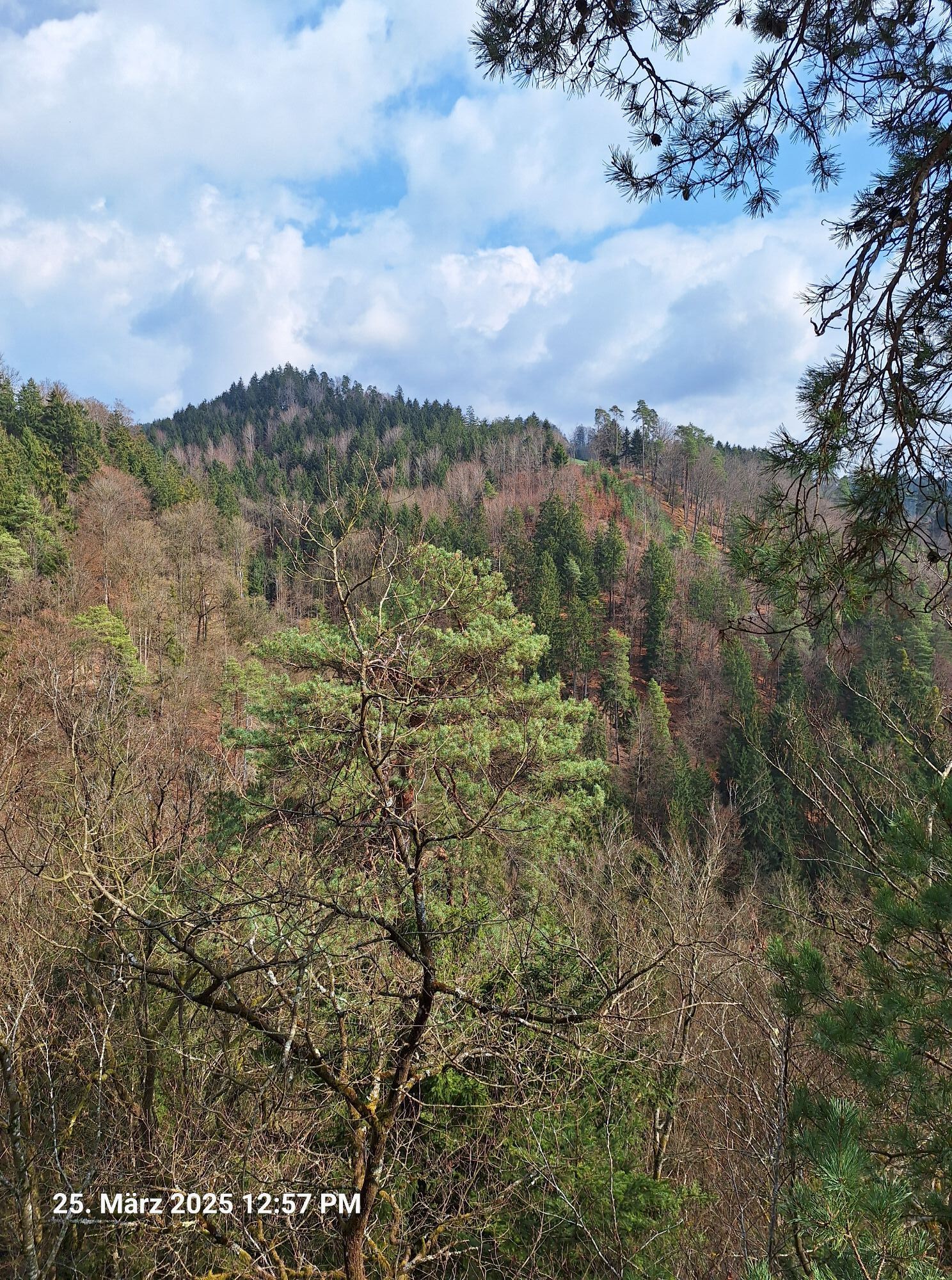
 © Markus Bischof 3Utworzono dnia 25.03.2025
 -
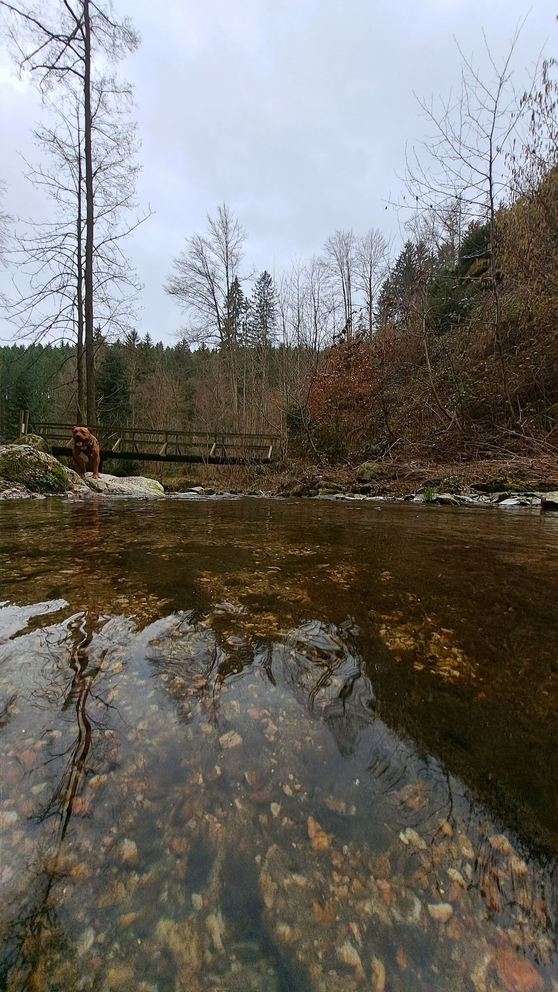
 © Markus Bischof 3Utworzono dnia 25.03.2025
 -
 © Markus Bischof 3Utworzono dnia 25.03.2025
 -
 © Markus Bischof 3Utworzono dnia 25.03.2025
 -
 © Anita Lunzer 1Utworzono dnia 10.03.2025
 -
 © Anita Lunzer 1Utworzono dnia 10.03.2025
 -
 © Anita Lunzer 1Utworzono dnia 10.03.2025
 -
 © Anita Lunzer 1Utworzono dnia 10.03.2025
 -
 © Anita Lunzer 1Utworzono dnia 10.03.2025
 -
 © Anita Lunzer 1Utworzono dnia 10.03.2025
 -
 © Anita Lunzer 1Utworzono dnia 10.03.2025
 -
 © Anita Lunzer 1Utworzono dnia 10.03.2025
 -
 © Anita Lunzer 1Utworzono dnia 10.03.2025
 -
 © Anita Lunzer 1Utworzono dnia 10.03.2025
 -
 © Anita Lunzer 1Utworzono dnia 10.03.2025
 -
 © Anita Lunzer 1Utworzono dnia 10.03.2025
 -
 © Anita Lunzer 1Utworzono dnia 10.03.2025
 -
 © AJUtworzono dnia 26.05.2022
 -
 © AJUtworzono dnia 26.06.2021
 -
 © AJUtworzono dnia 26.06.2021


INTERESTING POINTS ALONG THE WAY:
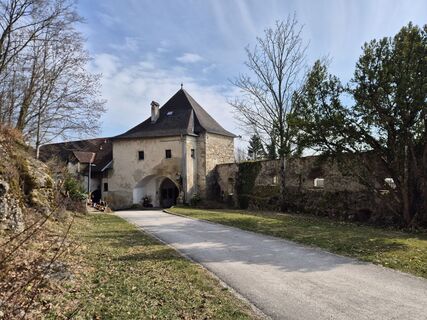
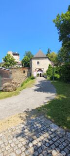
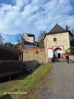
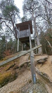
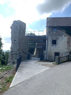
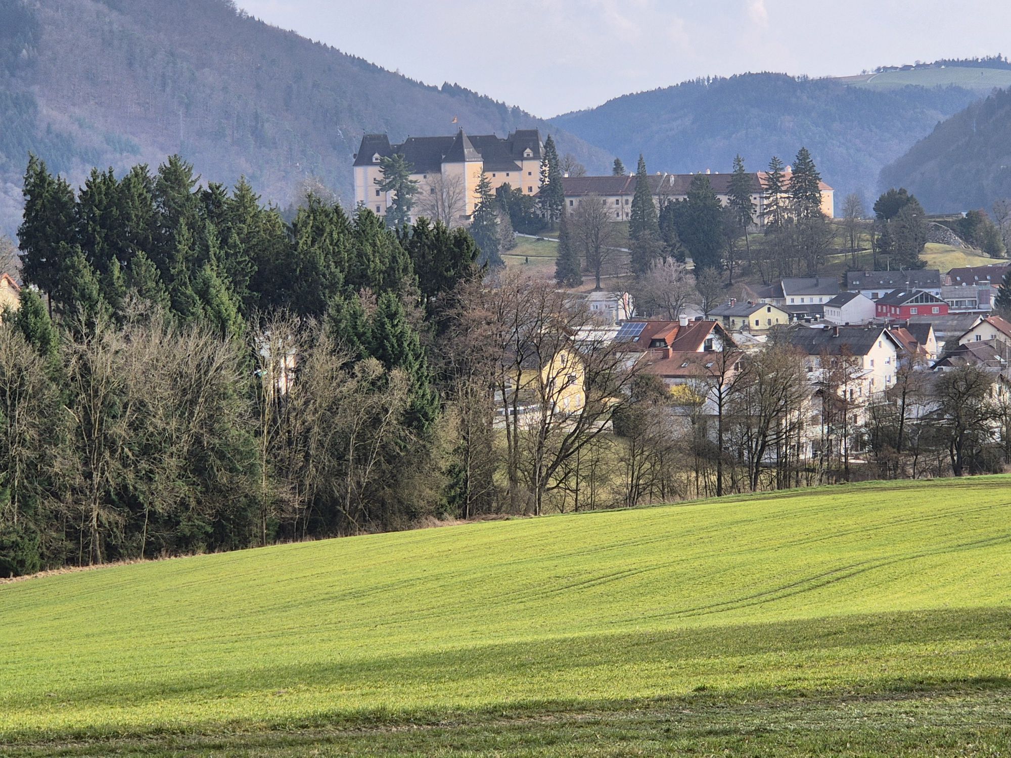
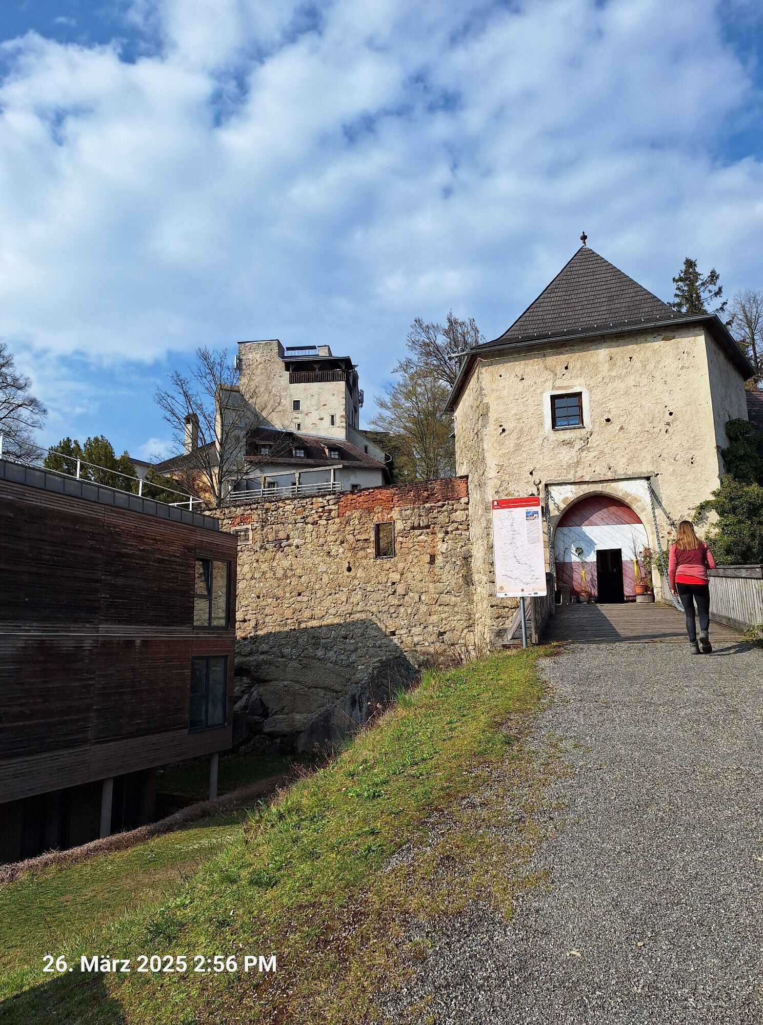
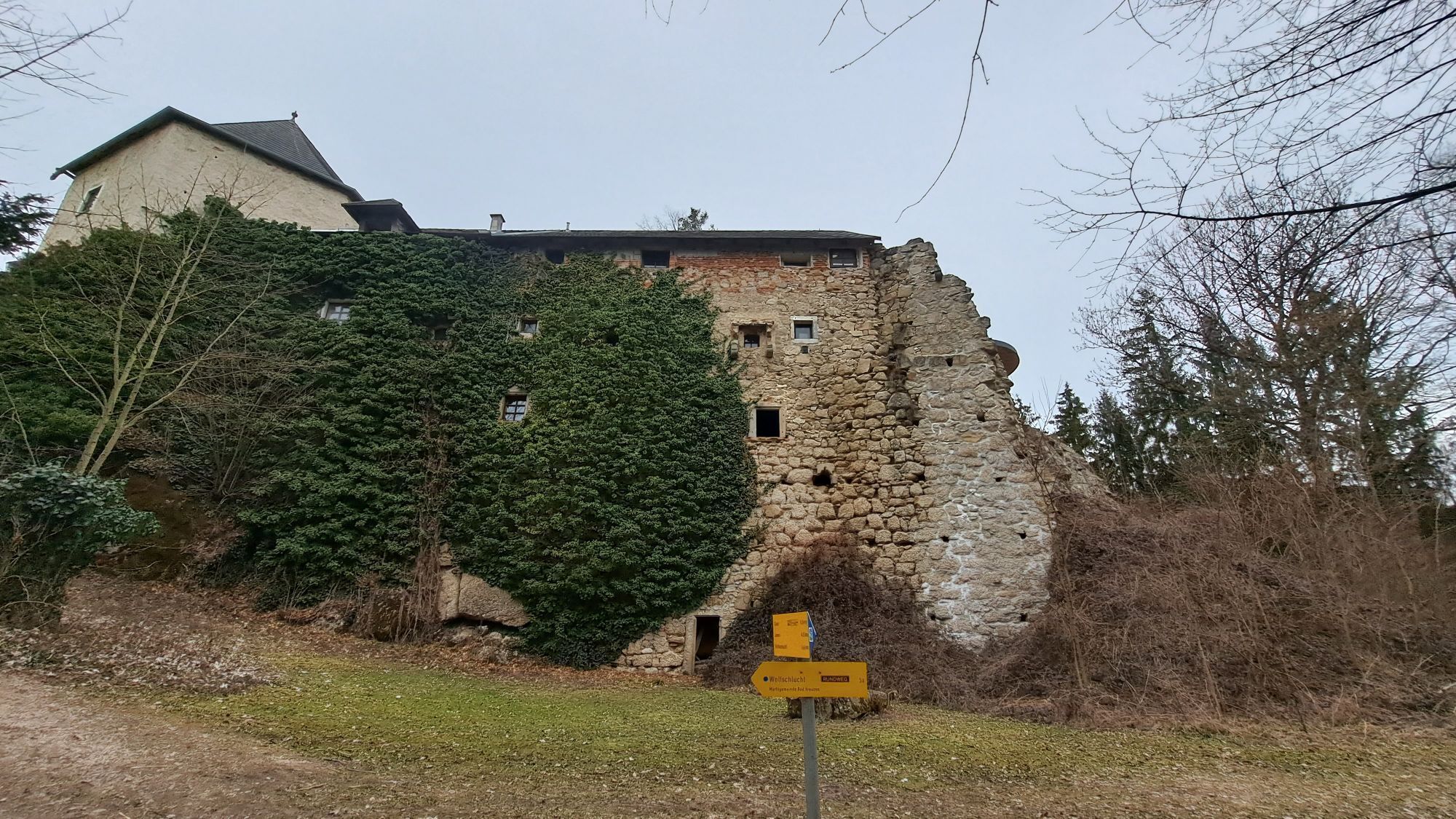
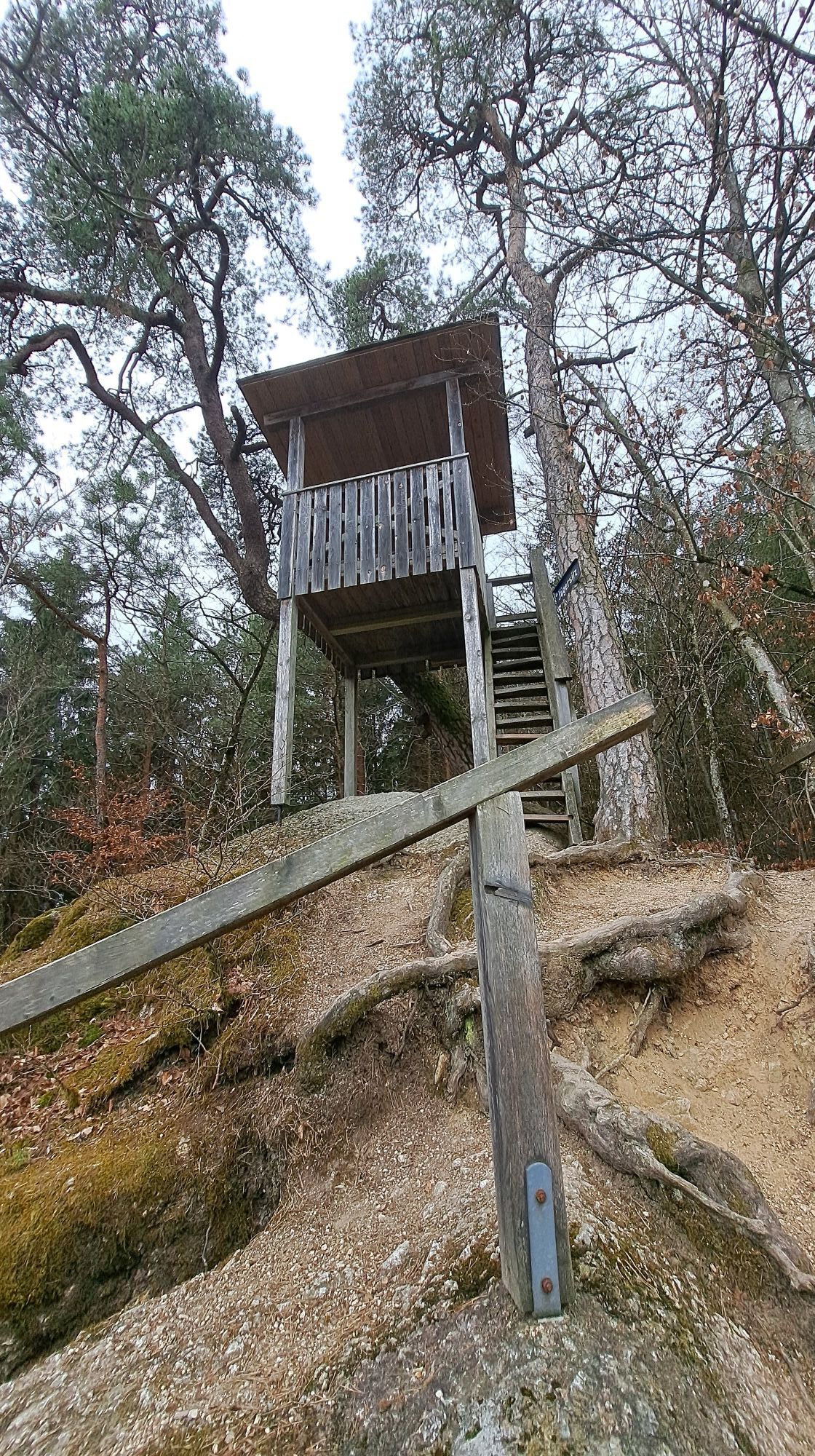
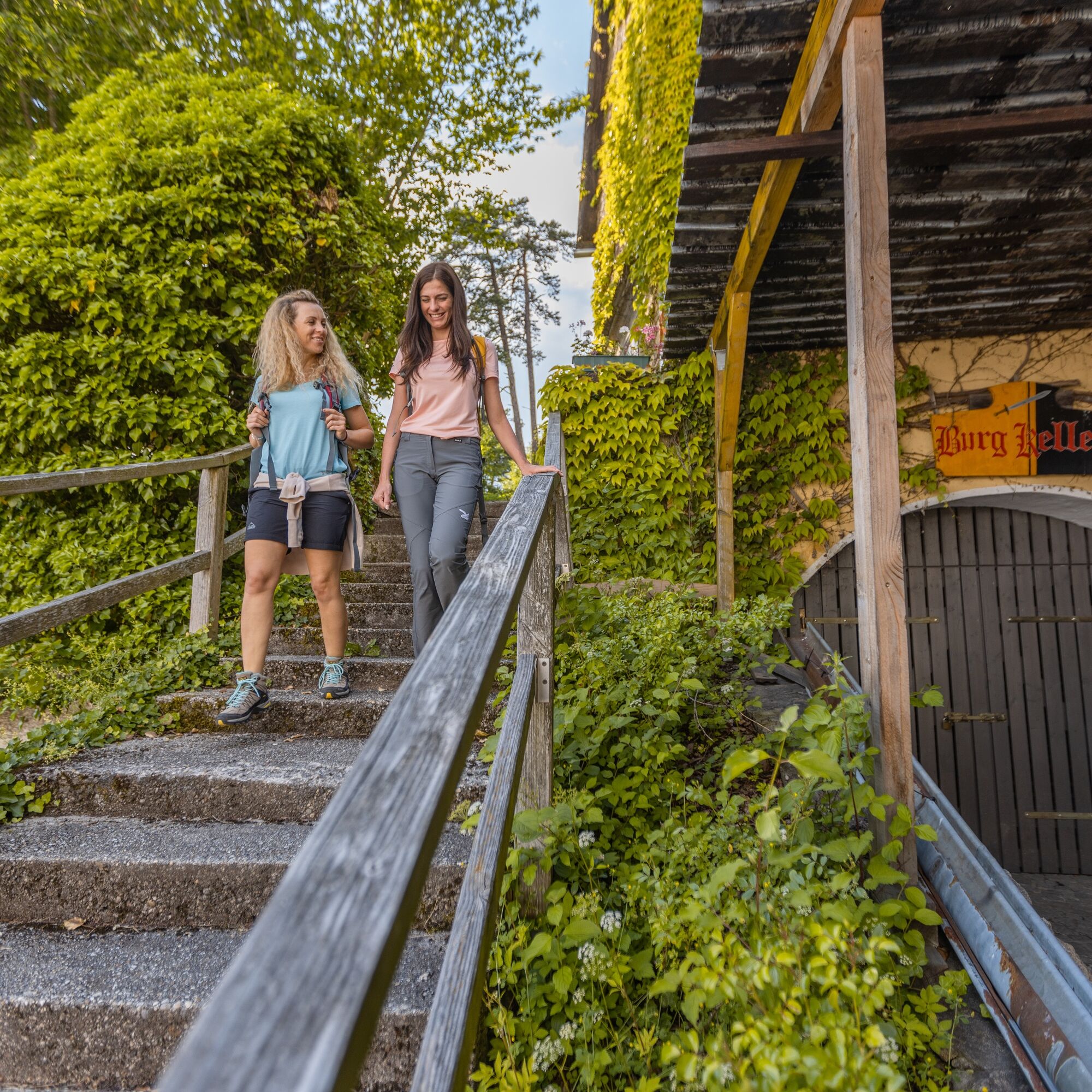
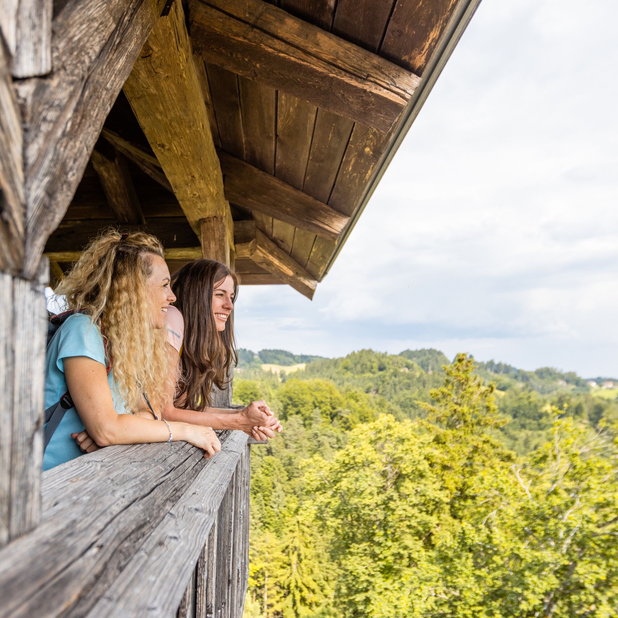
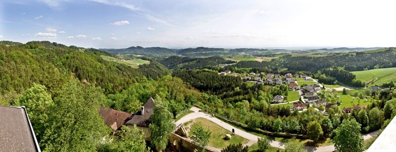
Burg Kreuzen Treasure Chamber, reopening June 2012 Youth Hostel and Observation Tower
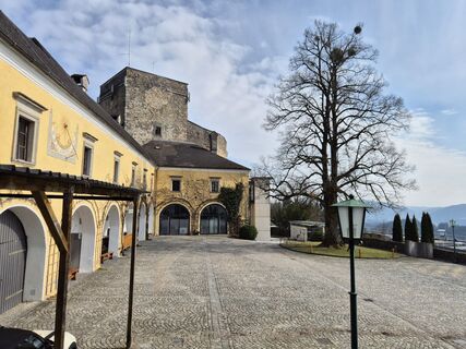
Castle Tavern
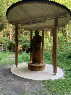
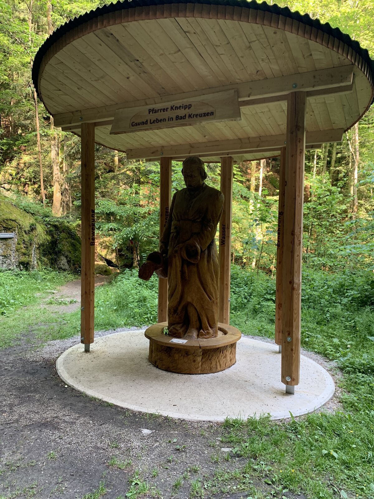
SPIRITUAL HIKING ON THE DONAUSTEIG:
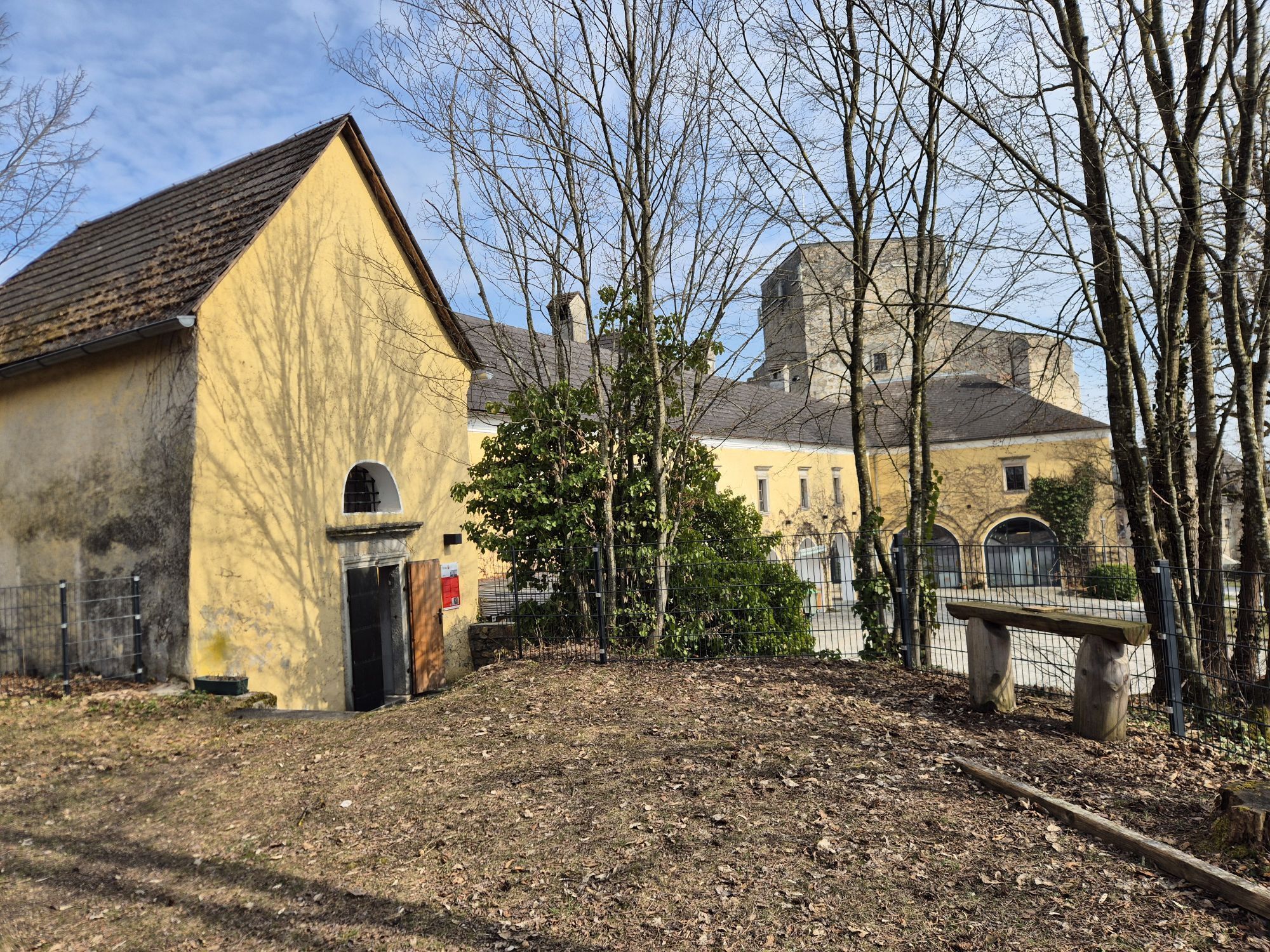
Convent of the Marienschwestern...
INTERESTING POINTS ALONG THE WAY:
Burg Kreuzen Treasure Chamber, reopening June 2012 Youth Hostel and Observation Tower
Castle Tavern
SPIRITUAL HIKING ON THE DONAUSTEIG:
Convent of the Marienschwestern vom Karmel
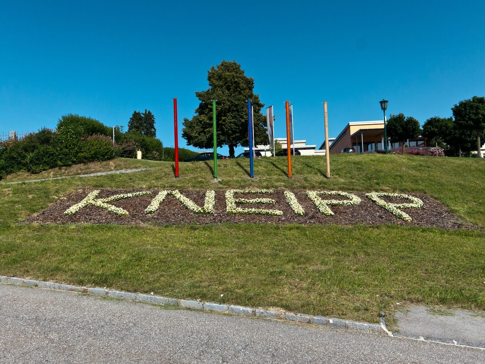
At the Marienschwestern you can experience the largest Kneipp garden in Austria. The traditional spa Bad Kreuzen is the 1st center for Traditional European Medicine (TEM): The splendor of fragrant herbs, rare biblical plants, and effective medicinal plants is open to interested visitors all year round, as well as the sound garden with watercourse, a green linden cloister, the barefoot trail, the spiritual garden, the water treading pool with casting station, the water playground for splashing, as well as the snack garden and organic delicacies in the café.
“Do good to your body so your soul wants to live in it” (Thersea v. Avila)

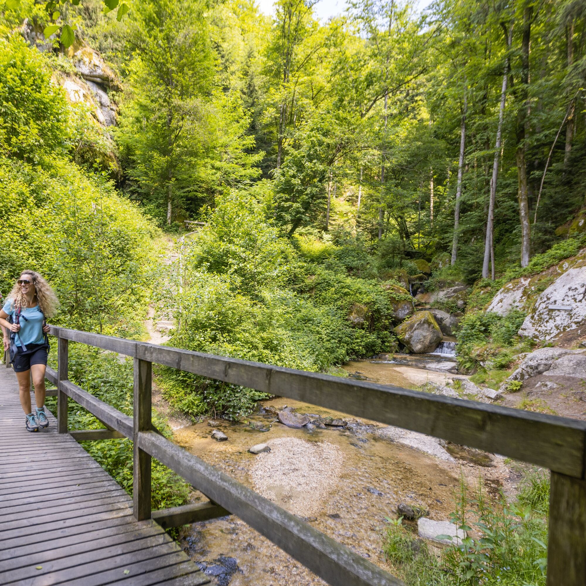
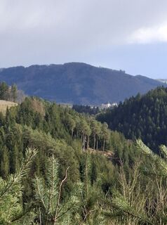
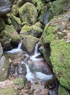
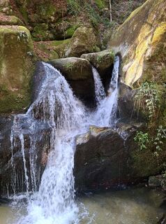
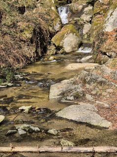
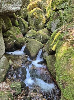
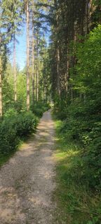
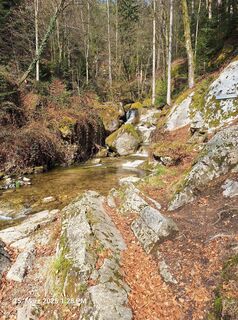
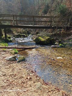
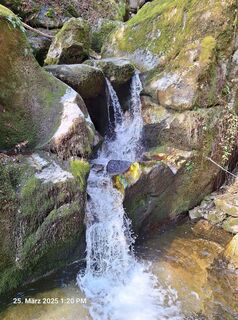
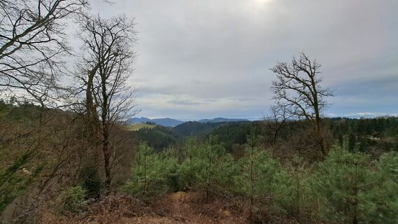
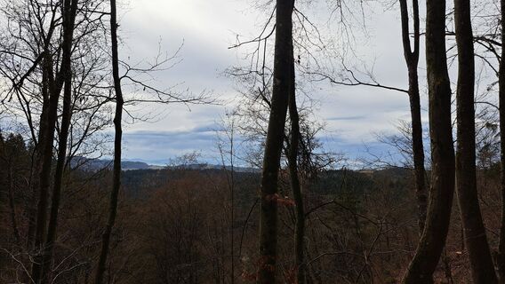
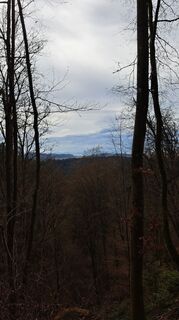
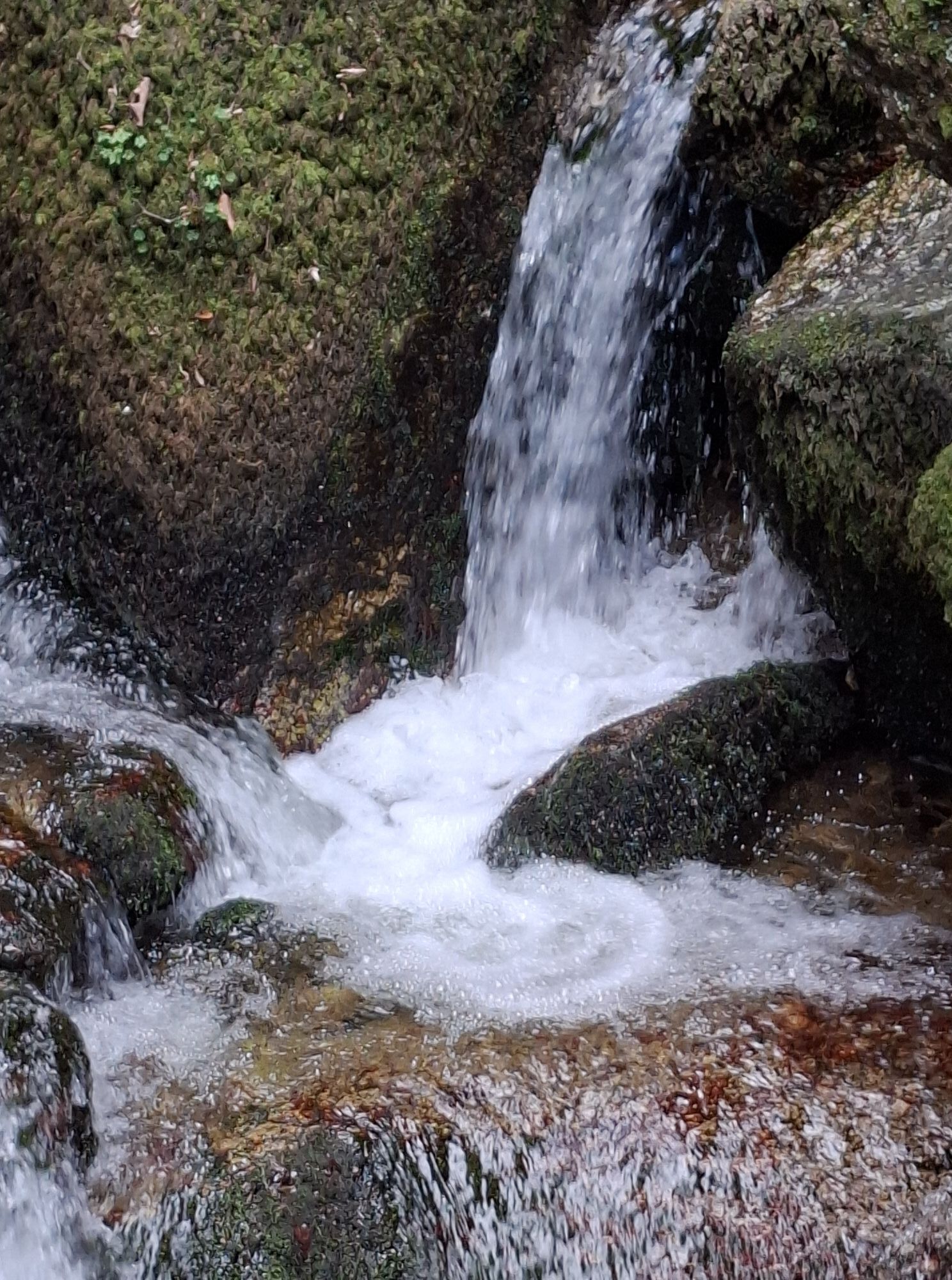
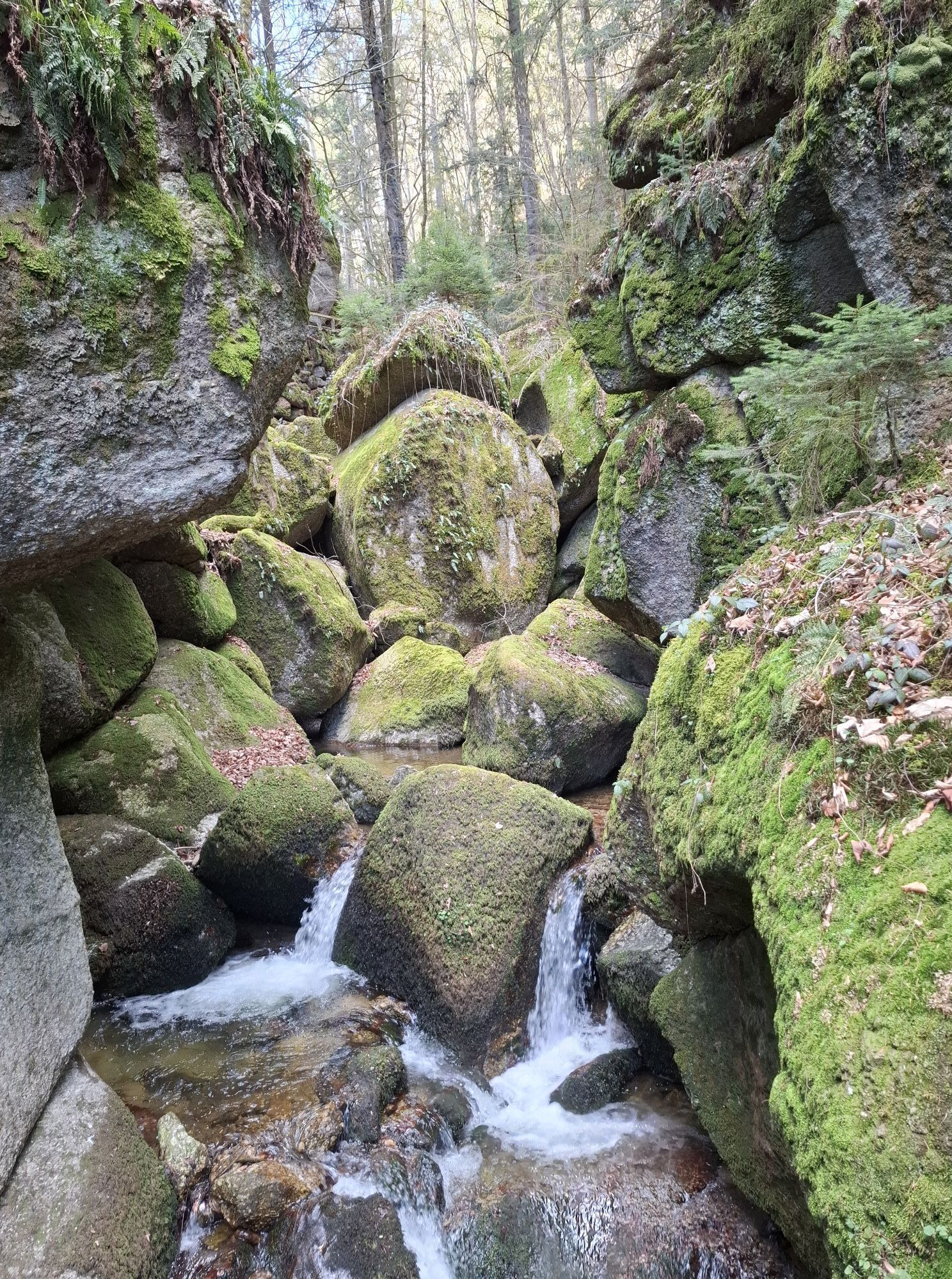
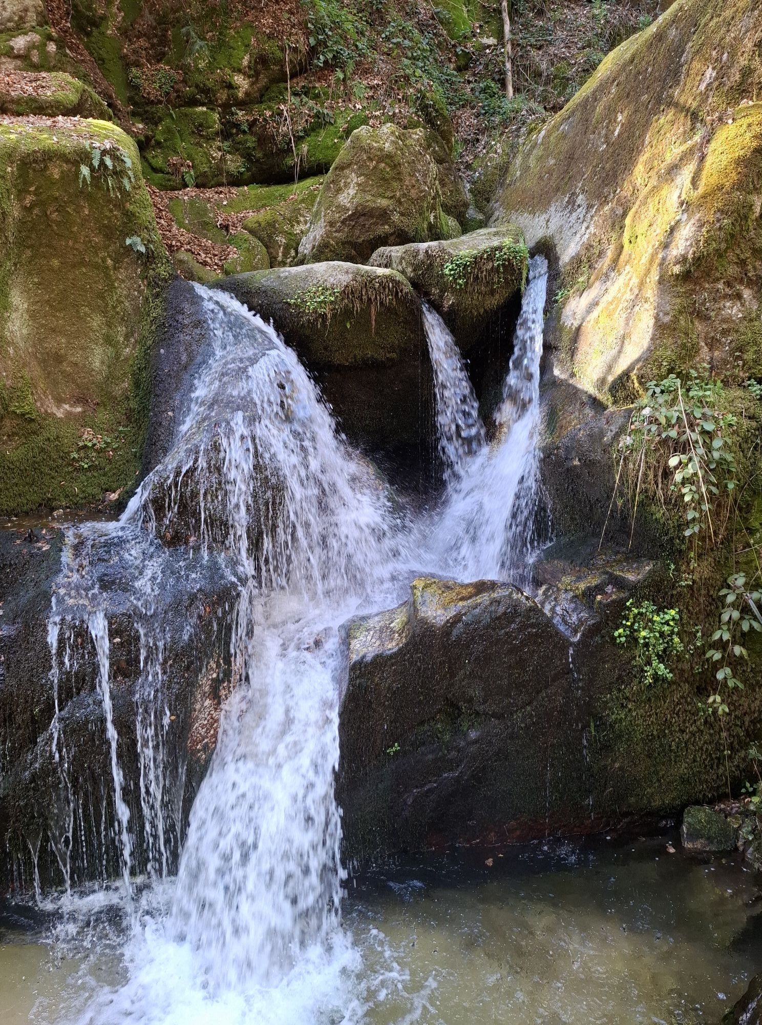
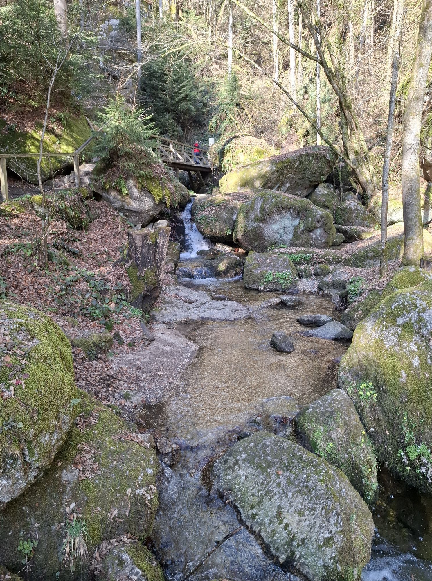
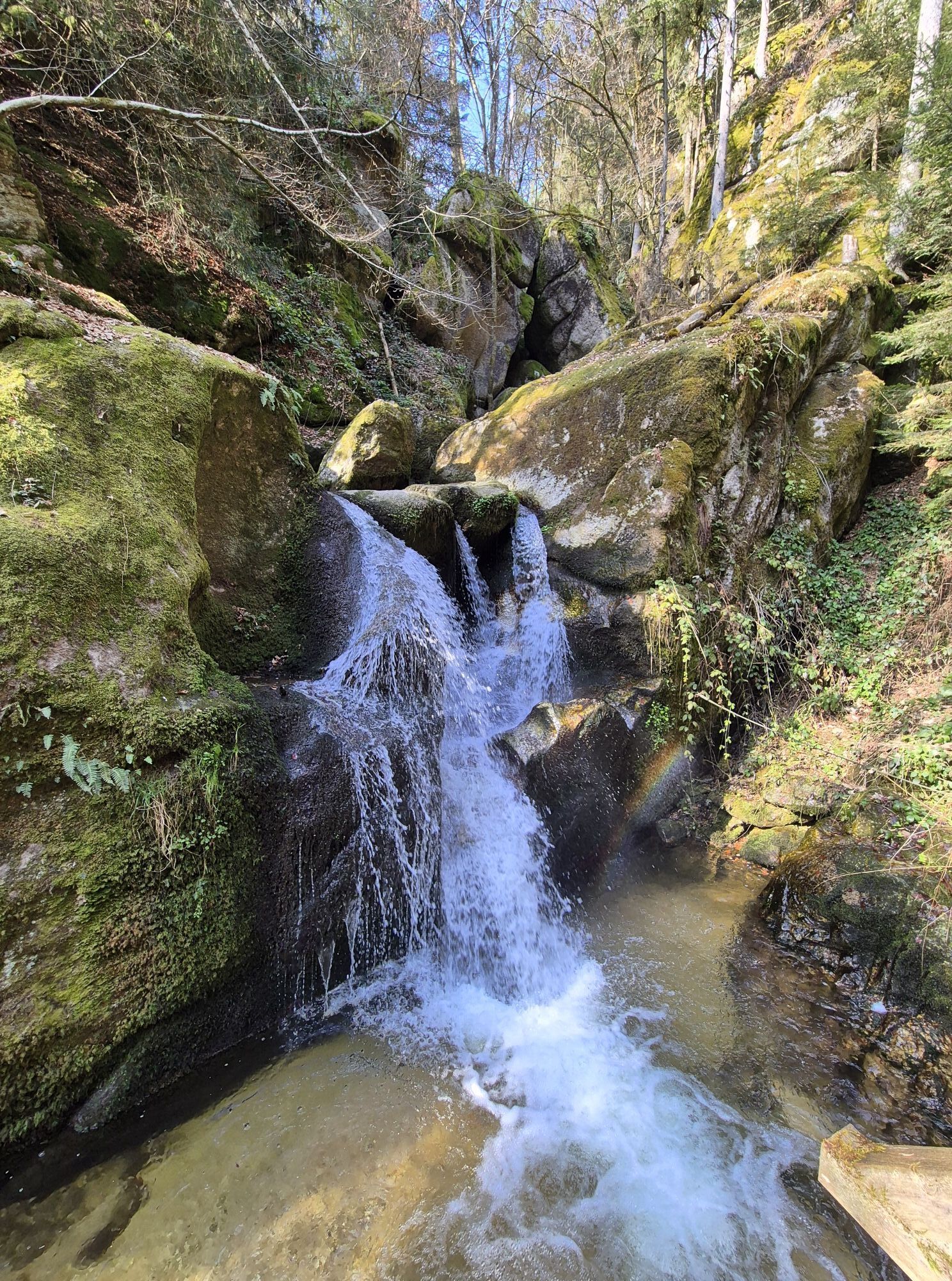
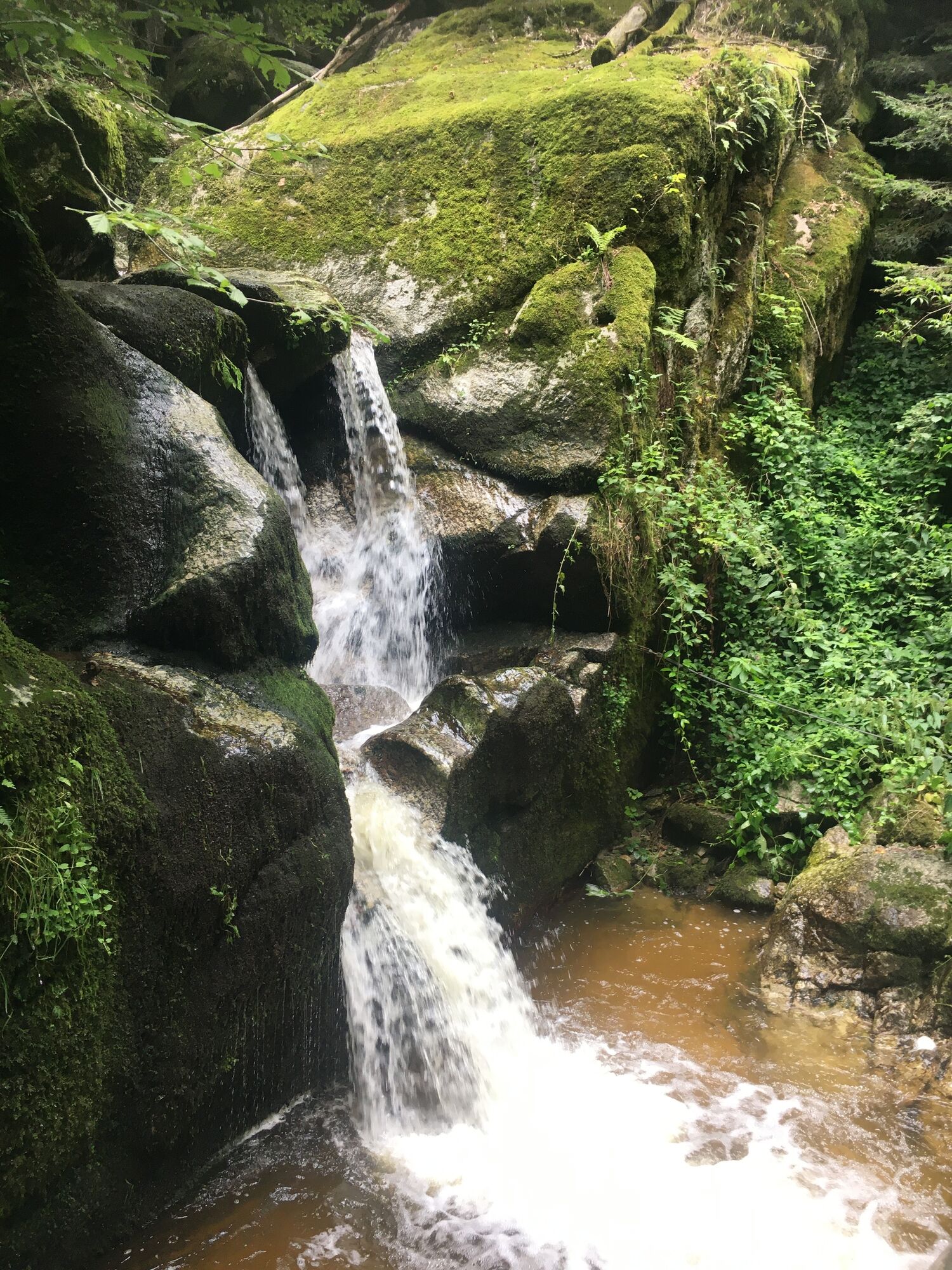
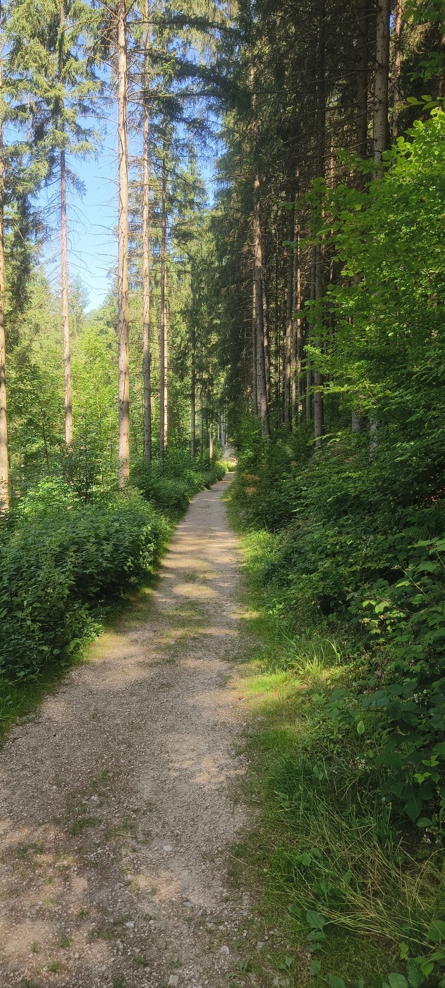
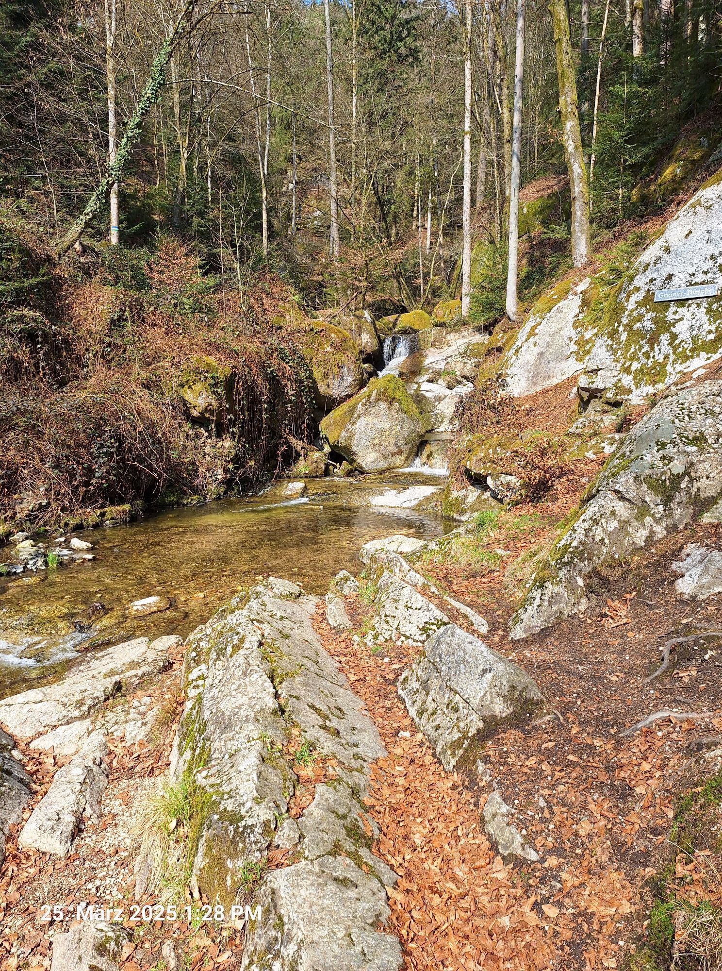
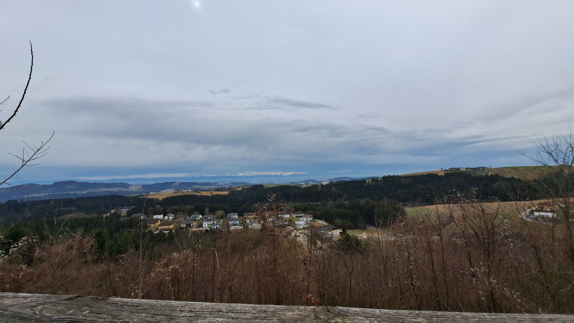
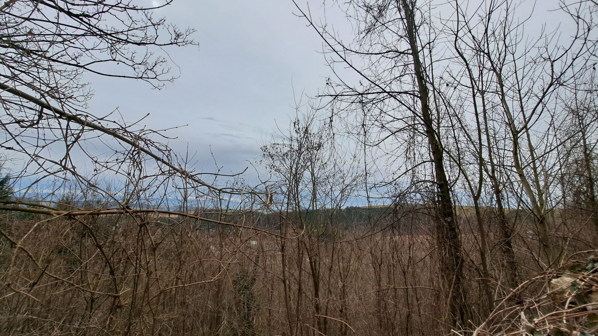
This circular hiking trail leads from the marketplace to the castle, through the Wolfsschlucht and up to the Speck Alm. Via the high trail you reach Grein, where you then hike through the Lettental. Following the marked path, you reach the Aschaumühle. From there you return to your starting point.
Hiking backpack (incl. rain cover), sturdy footwear
Bus connection from Grein to Bad Kreuzen
Large parking lot near the town center
Tourism Association Gsund Leben - Welcome to Bad Kreuzen
Bad Kreuzen 20a
4362 Bad Kreuzen
Tel.: 0043(0)7266/6255-78
bad-kreuzen@oberoesterreich.at
www.gsundleben.at
www.bad-kreuzen.at
This route is presented to you by the Danube Upper Austria Tourism Region

Popularne wycieczki w okolicy
-
4,4
Der Naturparkweg in Rechberg
średniWędrówka 7,54 km -
4,6
Waldhausen: Outlook circuit
średniWędrówka 14,0 km -
4,5
Gobelwarte-Runde, Grein
średniWędrówka 8 km -
4,4
Gobelwarte - Grein, Oberösterreich
średniWędrówka 5,41 km -
4,6
Brandstetterkogel über Matras Steig
światłoWędrówka 6,28 km -
4,1
Wolfsschlucht - auf den Spuren adeliger Kurgäste
Wędrówka 2,29 km -
4,1
Wallsee Altarmrunde
światłoWędrówka 8,19 km -
4,9
Stillensteinklamm, Grein
światłoWędrówka 10,4 km -
4,9
Stillensteinklamm Rundweg über Struden
światłoWędrówka 12,6 km -
4,6
Die Blasenstein-Runde, Oberösterreich
średniWędrówka 11,8 km
Wędrówki i tropienie


Nie przegap ofert i inspiracji na następne wakacje
Twój adres e-mail została dodana do listy mailingowej.