







Kirchberg: Donausteigrunde
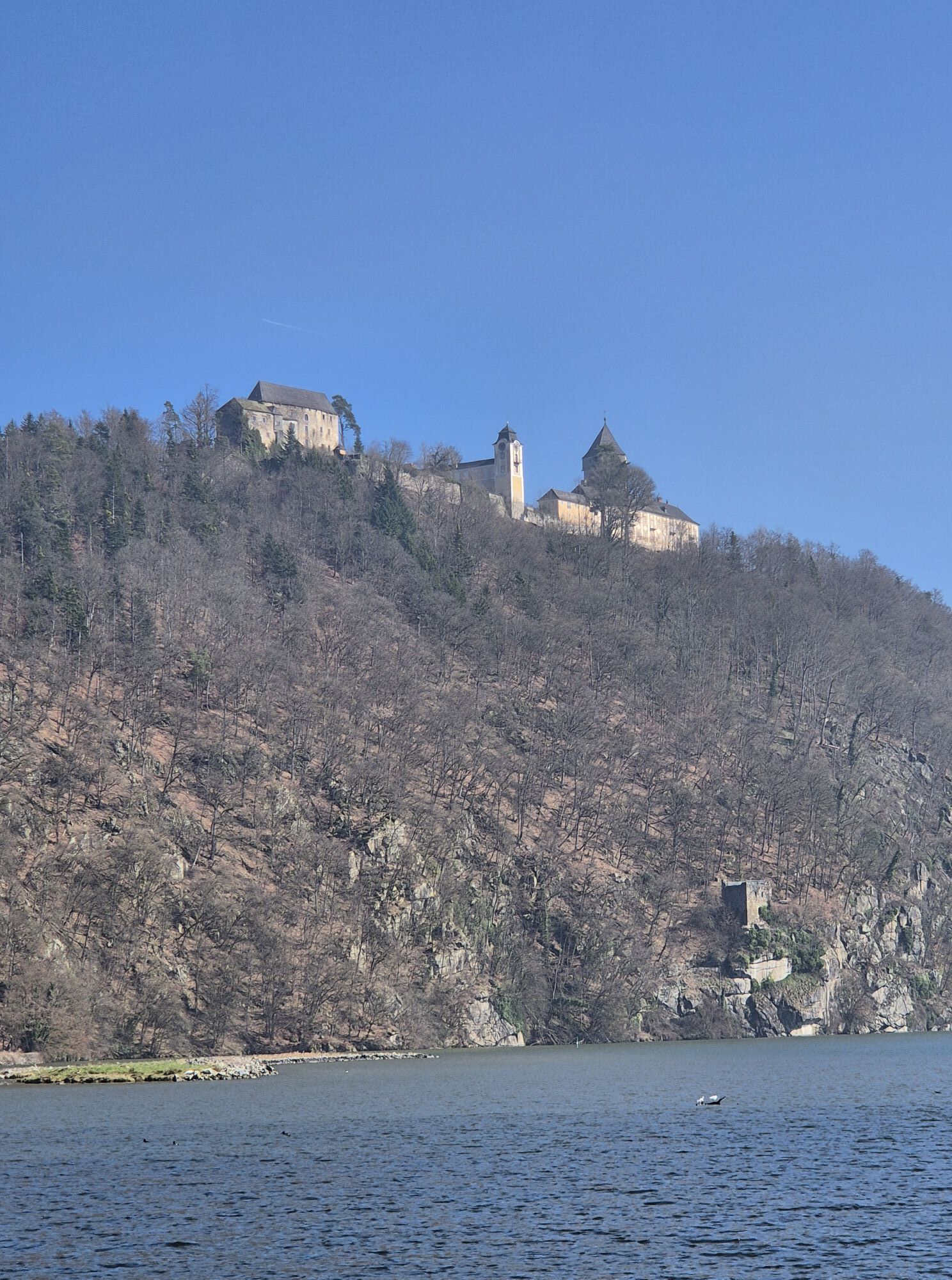
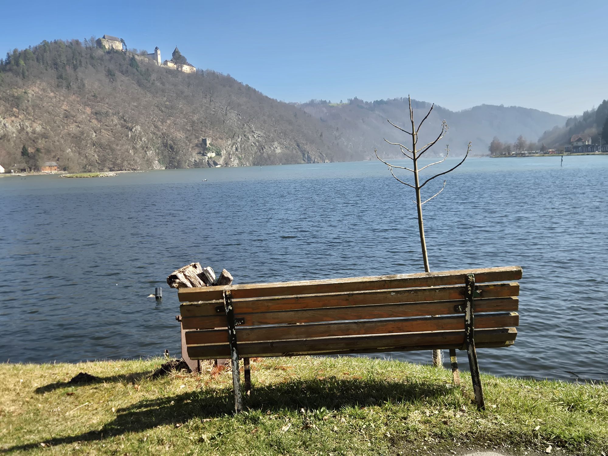

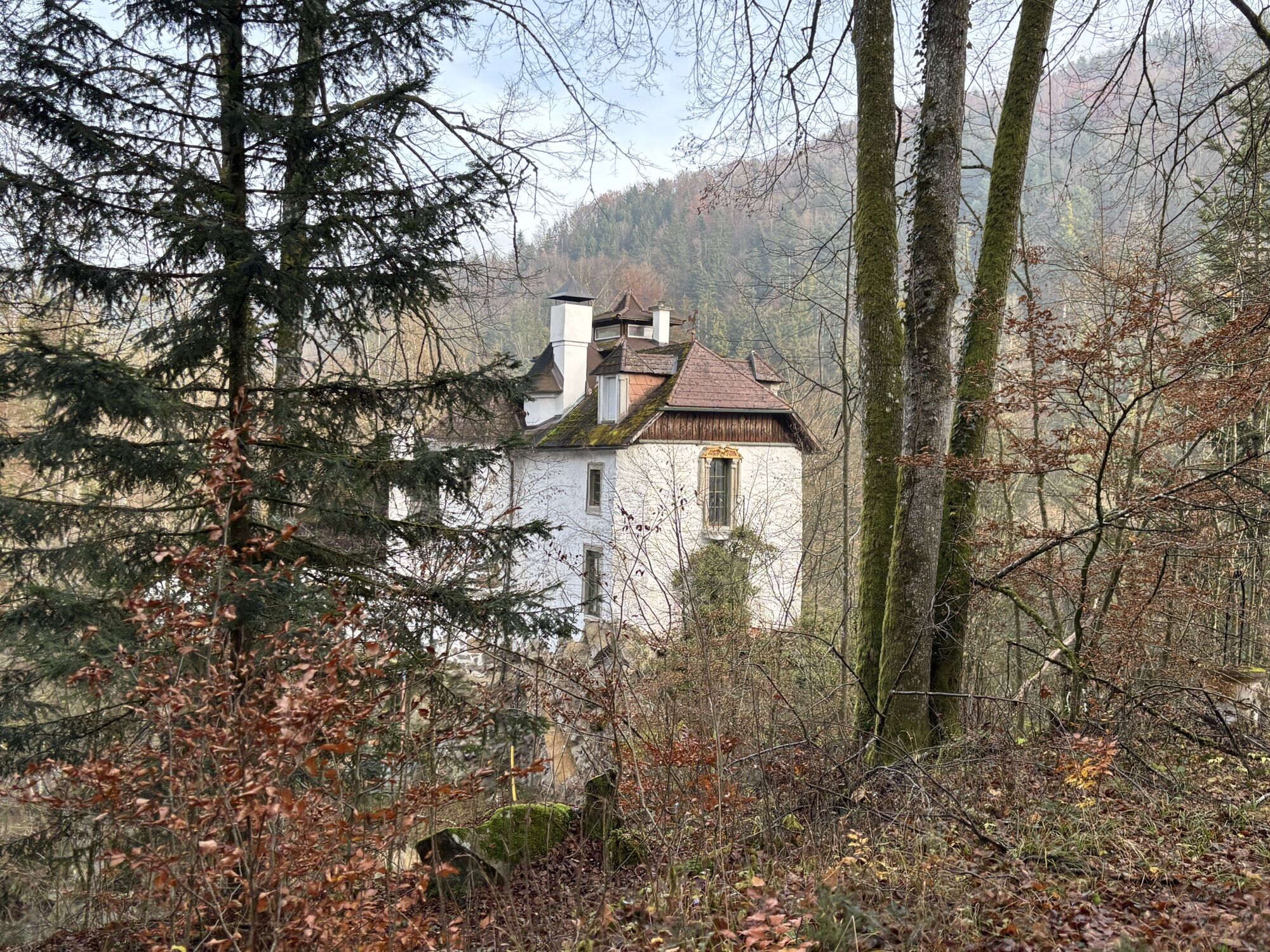
INTERESTING POINTS ALONG THE WAY:
Legendary cultural life:
Nature(space) & Movement:
Burgstall observation tower panoramic...INTERESTING POINTS ALONG THE WAY:
Legendary cultural life:
Nature(space) & Movement:
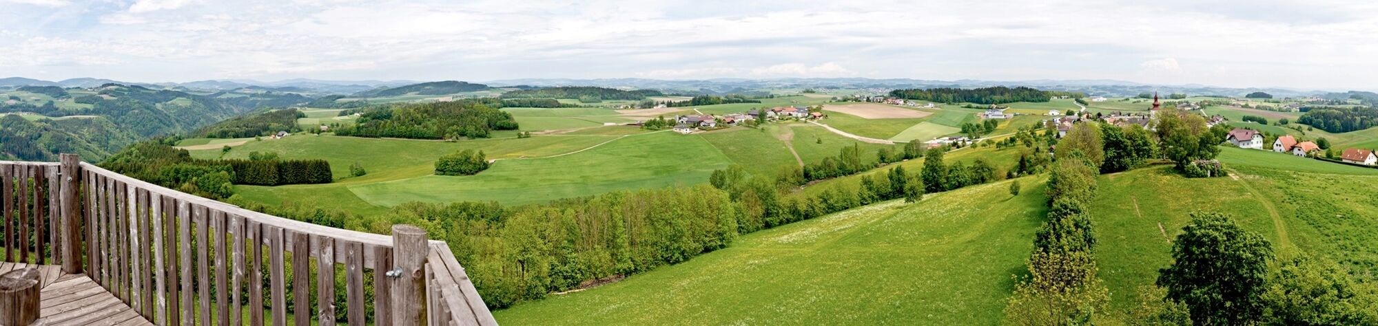
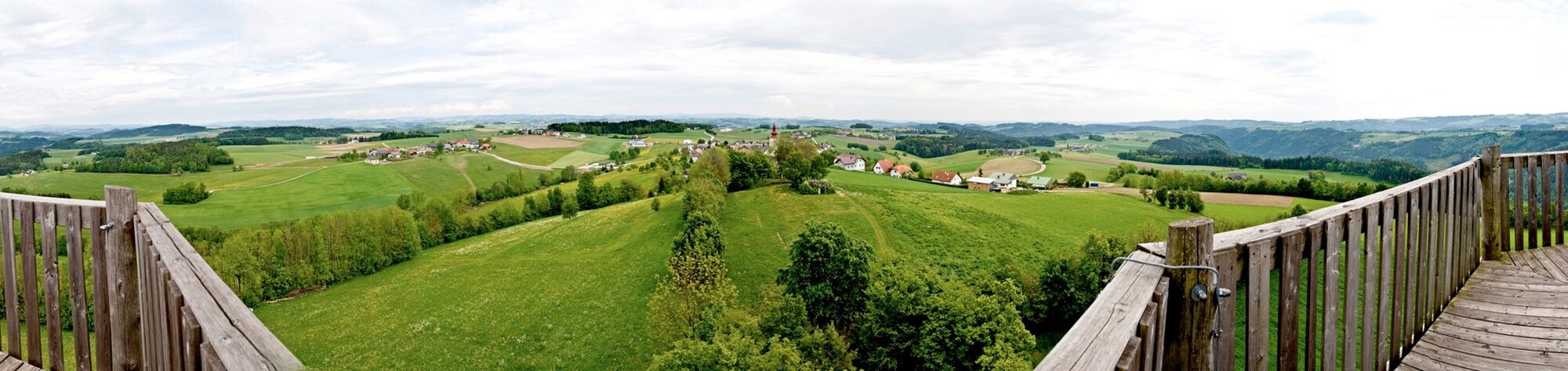
Burgstall observation tower panoramic view from the Bohemian Forest to the Alps Mini golf courseSPIRITUAL HIKING ON THE DONAUSTEIG:
"Silence is balm" (St. Hildegard)
We live in a time shaped by noise and it is those very precious moments when we can truly experience SILENCE. Time and again it is these often surprising and disturbing noises – motorboat when lying on the shore, airplane on a mountain hike, chainsaws during a forest hike, the sound machine in the neighbor's garden... – that disturb our peace.
"Strength lies in calmness" says an old proverb and to really come to myself – so that I can listen inside, I need peace (being left in peace) and silence from outside. Then my inner voice speaks up, I am harmoniously tuned.
On the "Donausteigrunde" I enjoy the peace and silence, which makes me more sensitive, perceptive, sensitive and ultimately leads me back to myself. Discovering silence. Silence to direct attention inward. Being a listener – inward and outward. Enduring silence. Slowing down through silence and finding my rhythm.Path directly on the Danube – being in the flow of life.
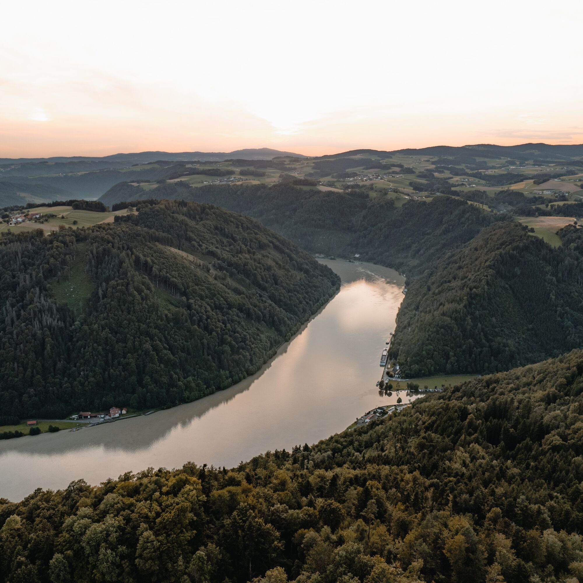

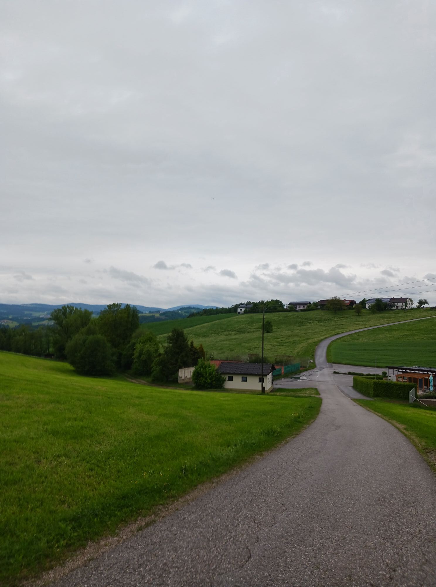
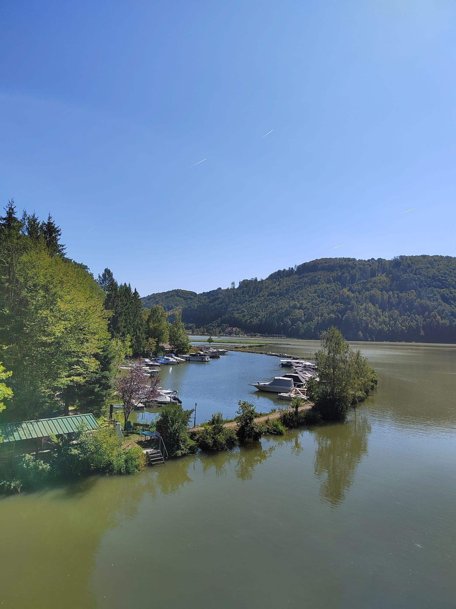
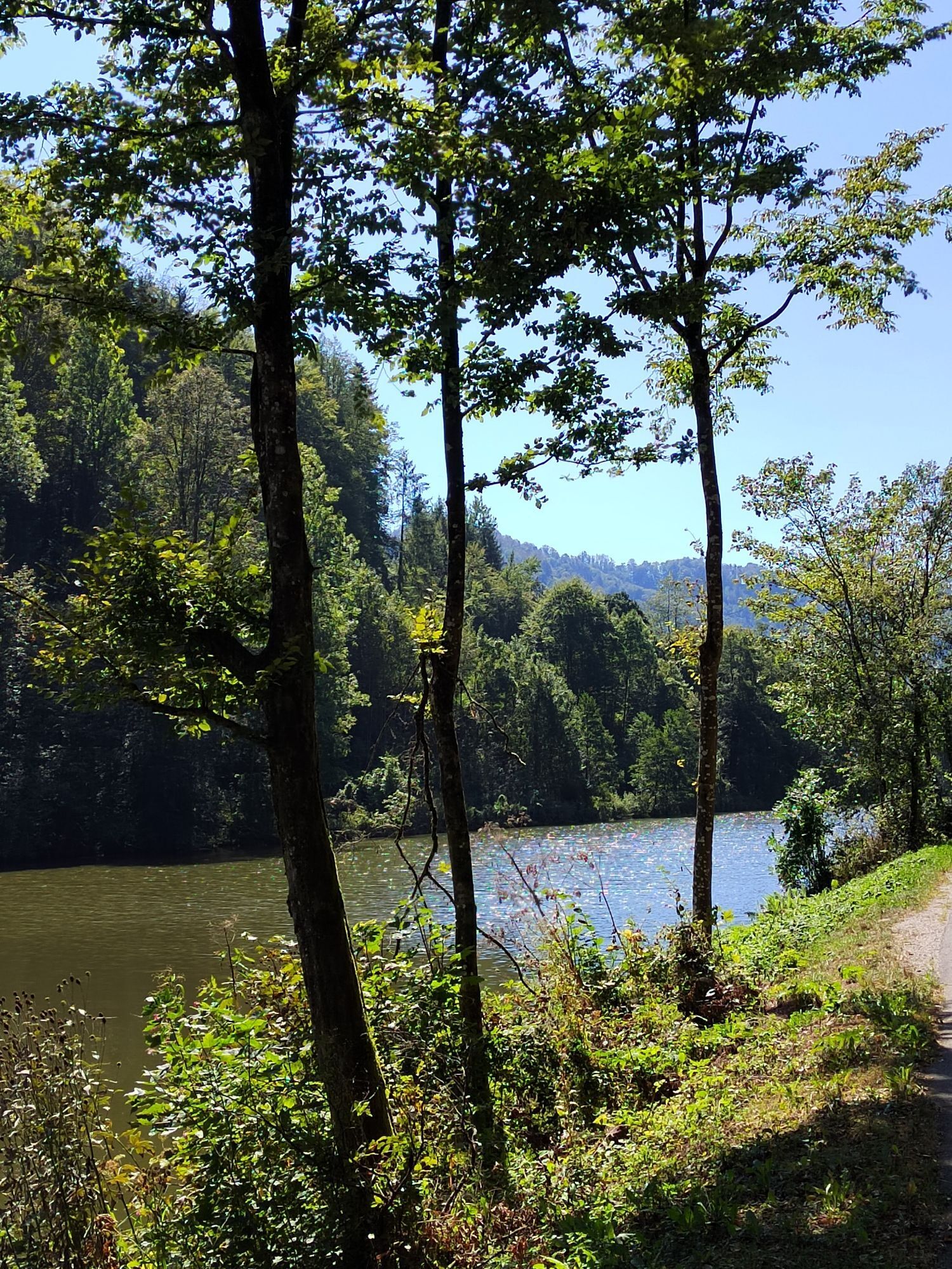
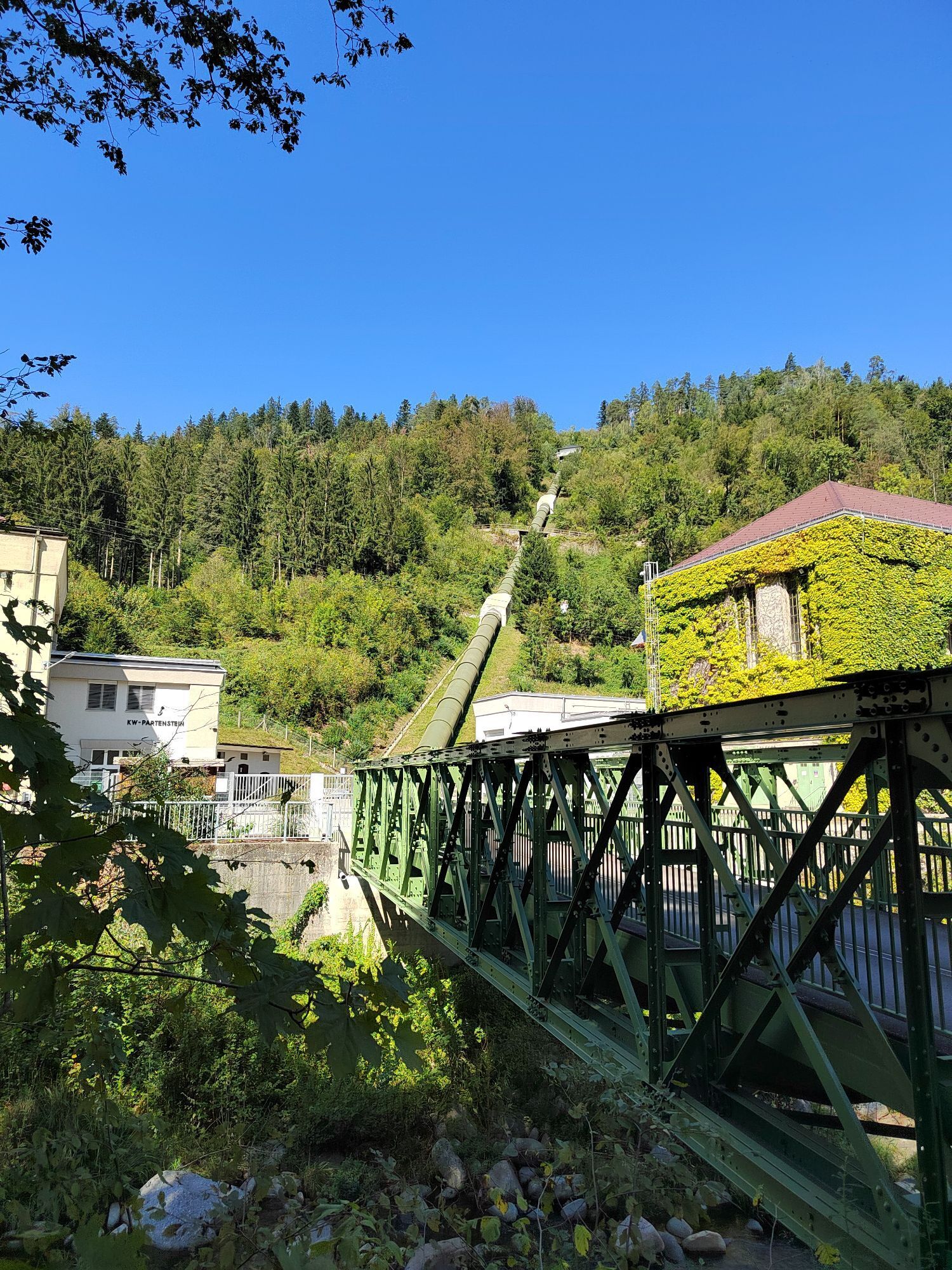
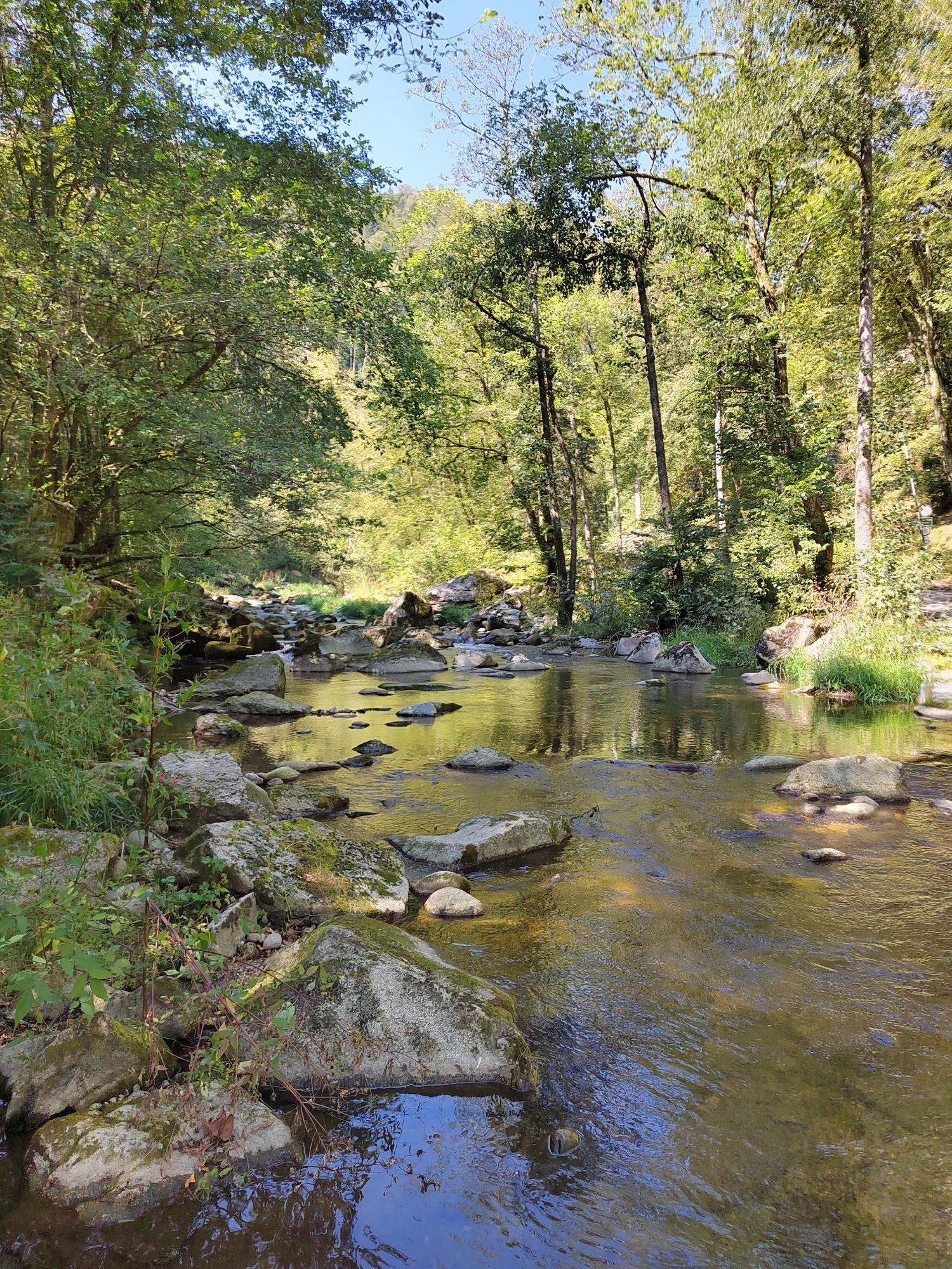
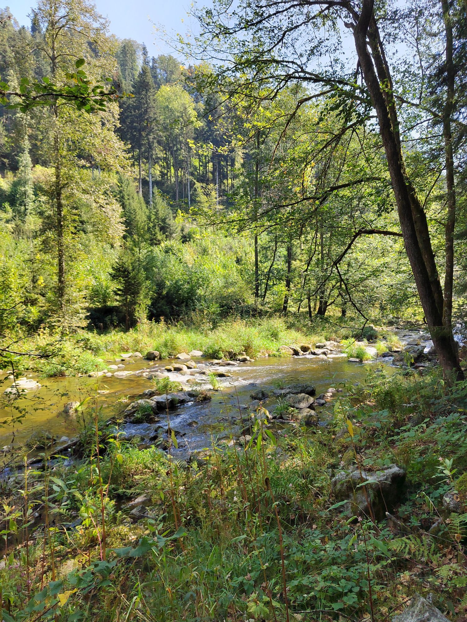
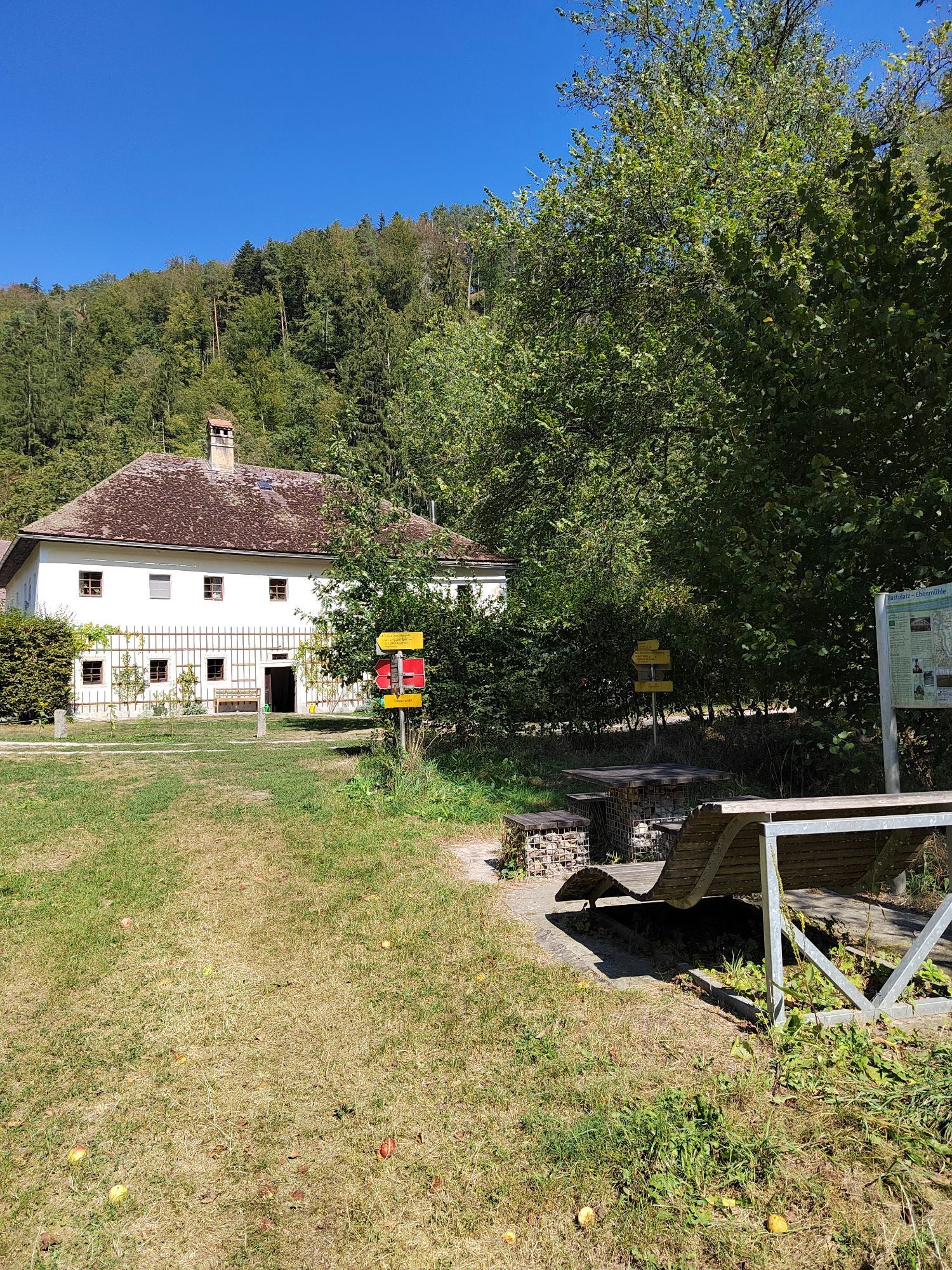
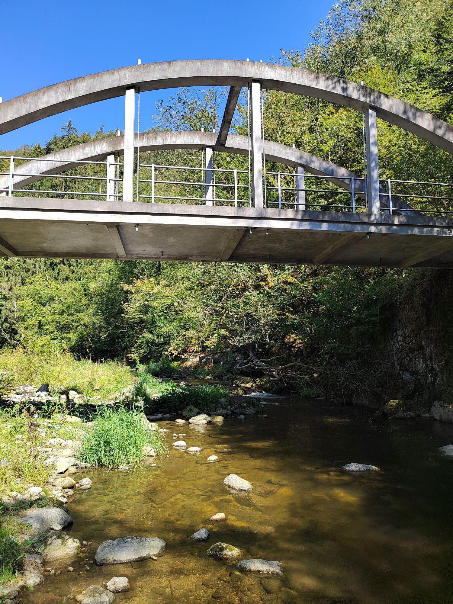
We start in the town center (at the elementary school) and head west. We keep left and follow the side road through the cultural landscape past some farmhouses. At the last farmhouse the road turns into a gravel road and leads in loops down through the forest and ends in Exlau on the Danube (possibility to stop for refreshments, Viking village). We now follow the road along the Danube and keep the direction as we follow the course of the Große Mühl. Passing the Partenstein power plant we continue along the Große Mühl. At Ebenmühle we keep left and go up the hill. Through the cultural landscape we hike back to Kirchberg.
Hiking backpack (incl. rain cover), sturdy footwear
Bus: Schedule information at: http://www.ooevv.at
Train: Mühlkreisbahn to Neufelden station -> approx. 10 km to Kirchberg
Plane: Linz/Hörsching
Bus: www.postbus.at; Ship: Landing stage in Untermühl and Untermühl
in the center of Kirchberg
Municipal Office Kirchberg ob der Donau
Village square 5
4131 Kirchberg ob der Donau
Tel.: 0043(0)07282/46 01 Fax: 46015
gemeindeamt@kirchberg-donau.at
www.kirchberg-donau.at
DONAUSTEIG HOSTS ALONG THE ROUTE:
Gasthof-Pension ERNST
Untermühl 4, 4114 Neuhaus/Donau, Tel.: +43 7232 2919, www.gasthof-ernst.at
- Stone sauna, steam bath, relaxation room
- 30 beds
Fish inn Aumüller , 4131 Obermühl 13, Tel.: +43 7286 7216, www.fi schgasthof.at
- homemade fruit juices and musts (not directly on the hiking path)
- 22 beds
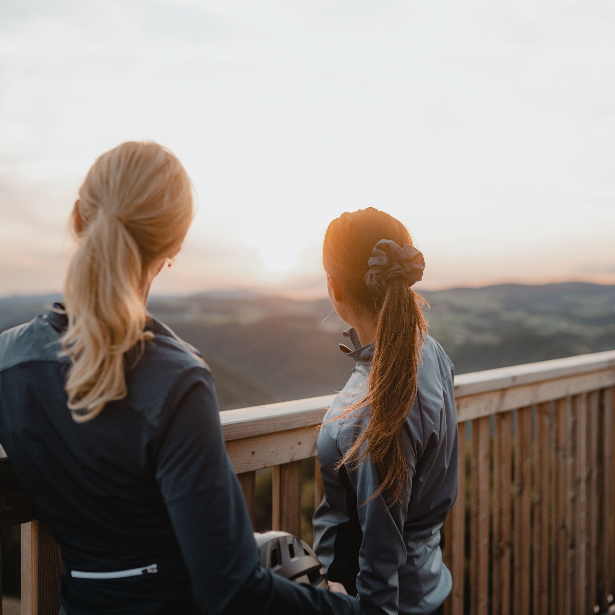
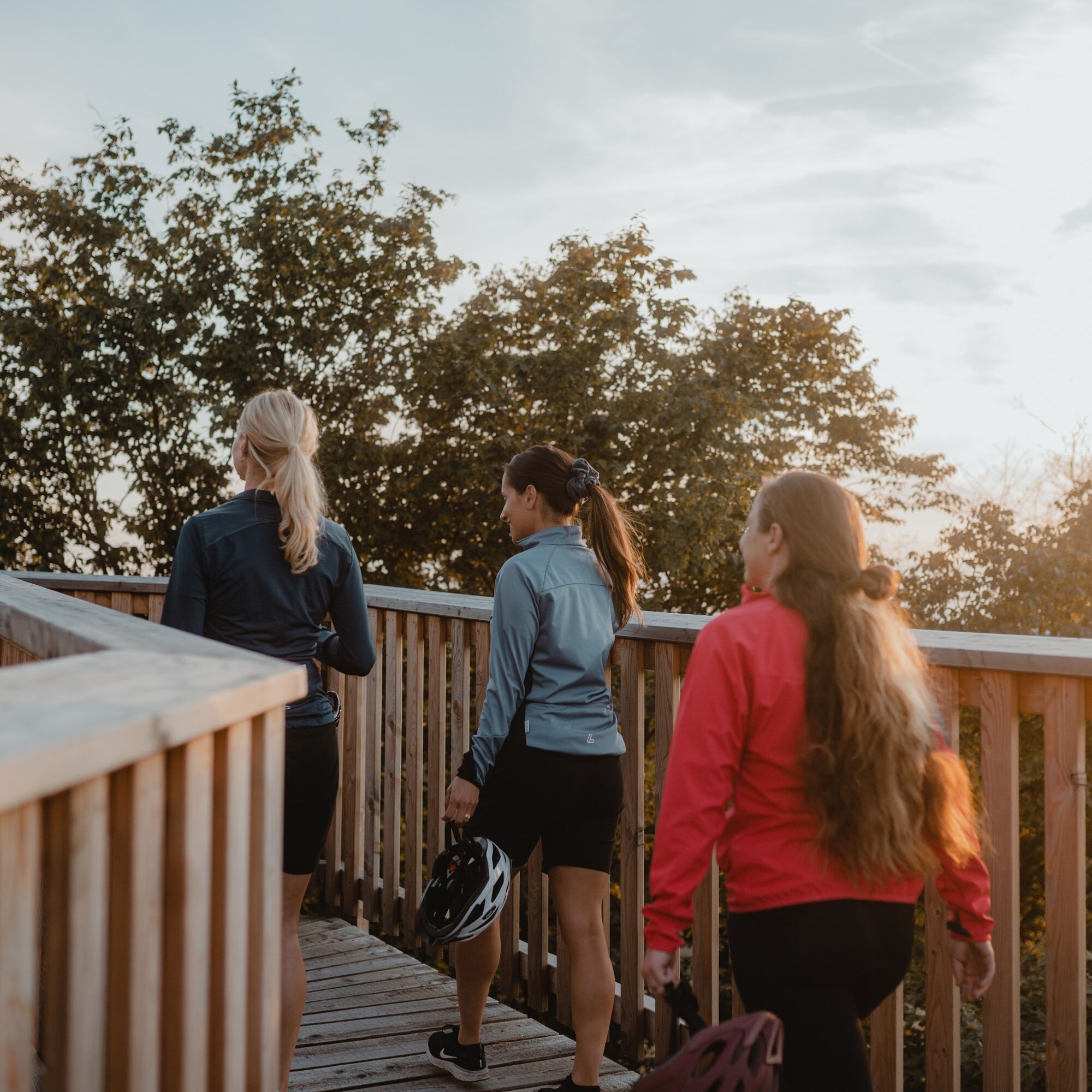
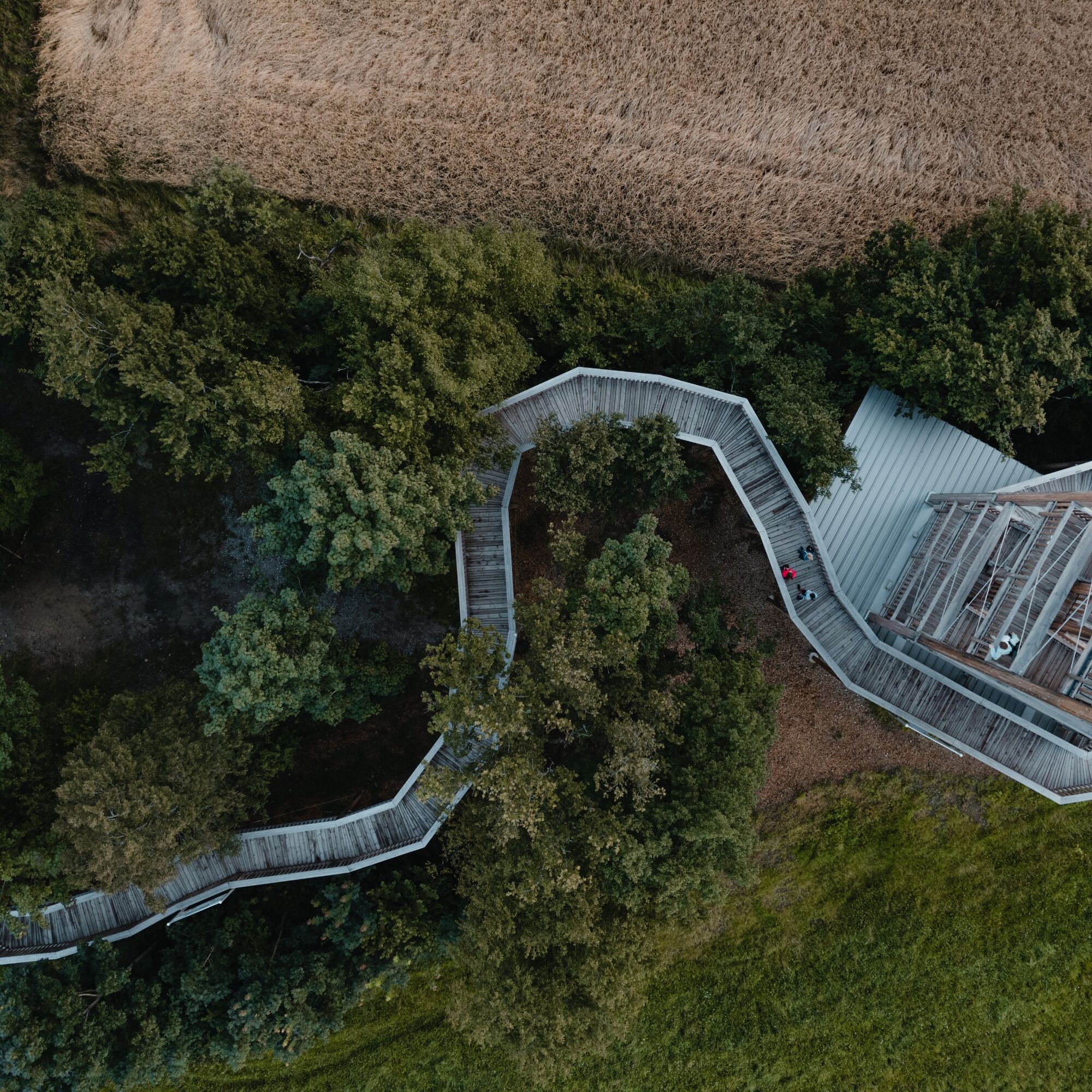
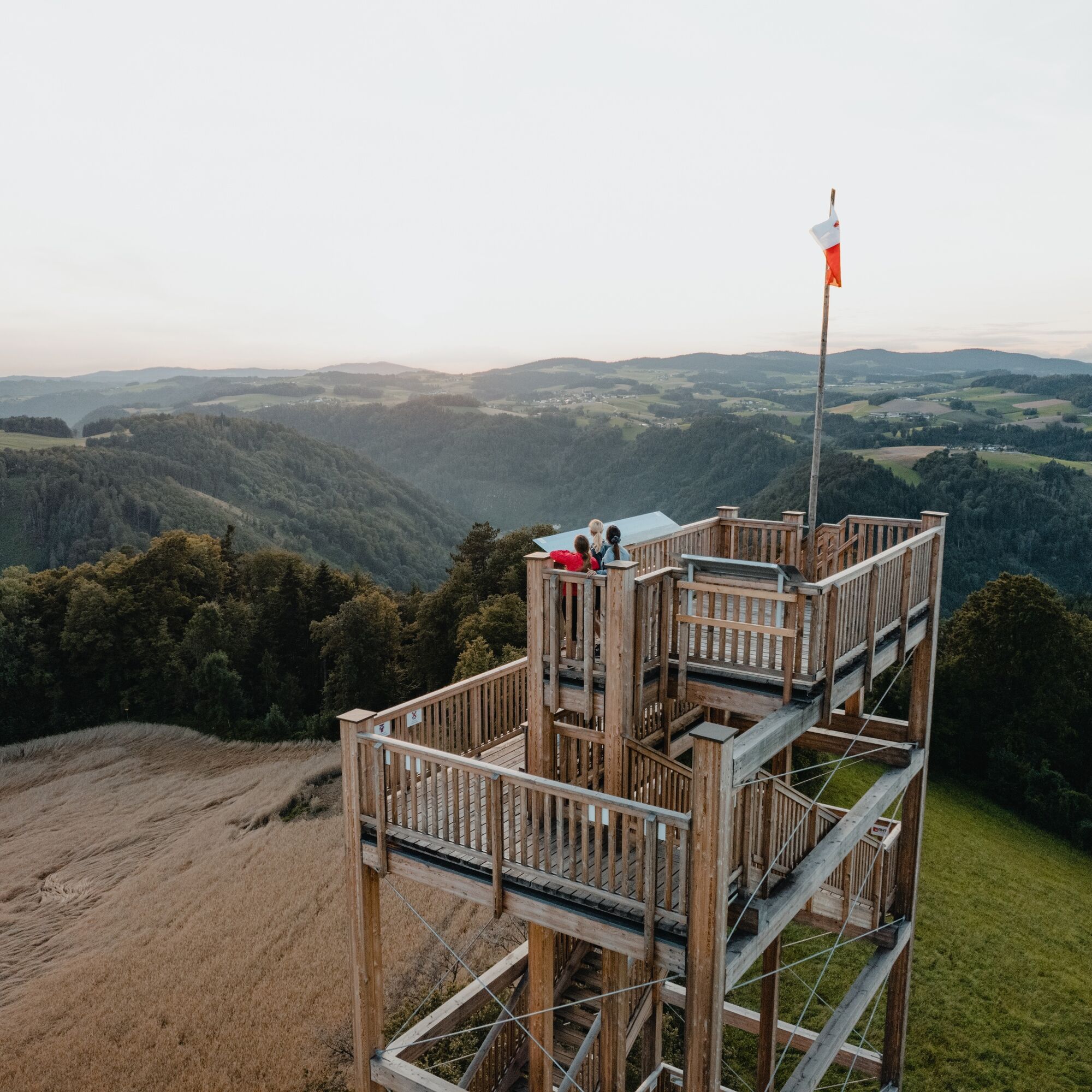
You have a breathtaking view from the observation tower (24m). The viewing platform at Burgstall is about a 10-minute walk from the village square.

Kamery internetowe z trasy
Uzyskaj wgląd
Zawsze na żywo z ponad 9 500 kamer internetowych. bergfex Jako użytkownik Pro, możesz teraz zobaczyć odpowiednie kamery internetowe dla wielu wycieczek w aplikacji wycieczki od. Pozwala to na bezpośredni podgląd aktualnych warunków.

Popularne wycieczki w okolicy
-
3,9
Kerzensteinwanderung im "Naturschutzgebiet Pesenbachtal"
średniWędrówka 4,16 km -
4,5
Haibach: CICONIA circular route
średniWędrówka 11,2 km -
4,7
Hofkirchen: Waterfall round
średniWędrówka 8,43 km -
3,8
Waldkirchen: 4/4 View Round | Large Danube Resonance Path Round
średniWędrówka 12,9 km -
4,8
Danube Cycle Path Stage 2 South Bank: Schlögen - Linz
światłoKolarstwo długodystansowe 53 km -
3,1
Alm-Mühlen-Runde
światłoWędrówka 5,12 km -
5,0
Wilson Holz Pesenbach Round Trail
światłoWędrówka 7,53 km -
3,8
Großer Hopfensteig
średniWędrówka 12,8 km -
4,0
R1.05 Sauwald Panorama Route
średniJazda na rowerze 57,8 km -
4,8
R1.04 Donauschlingen round
średniJazda na rowerze 45,6 km
Wędrówki i tropienie


Nie przegap ofert i inspiracji na następne wakacje
Twój adres e-mail została dodana do listy mailingowej.





