







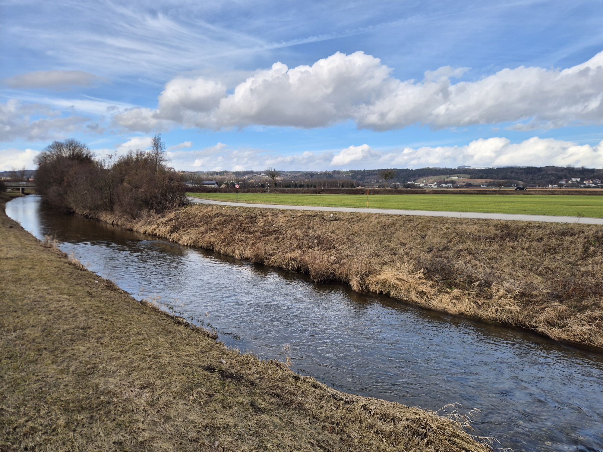
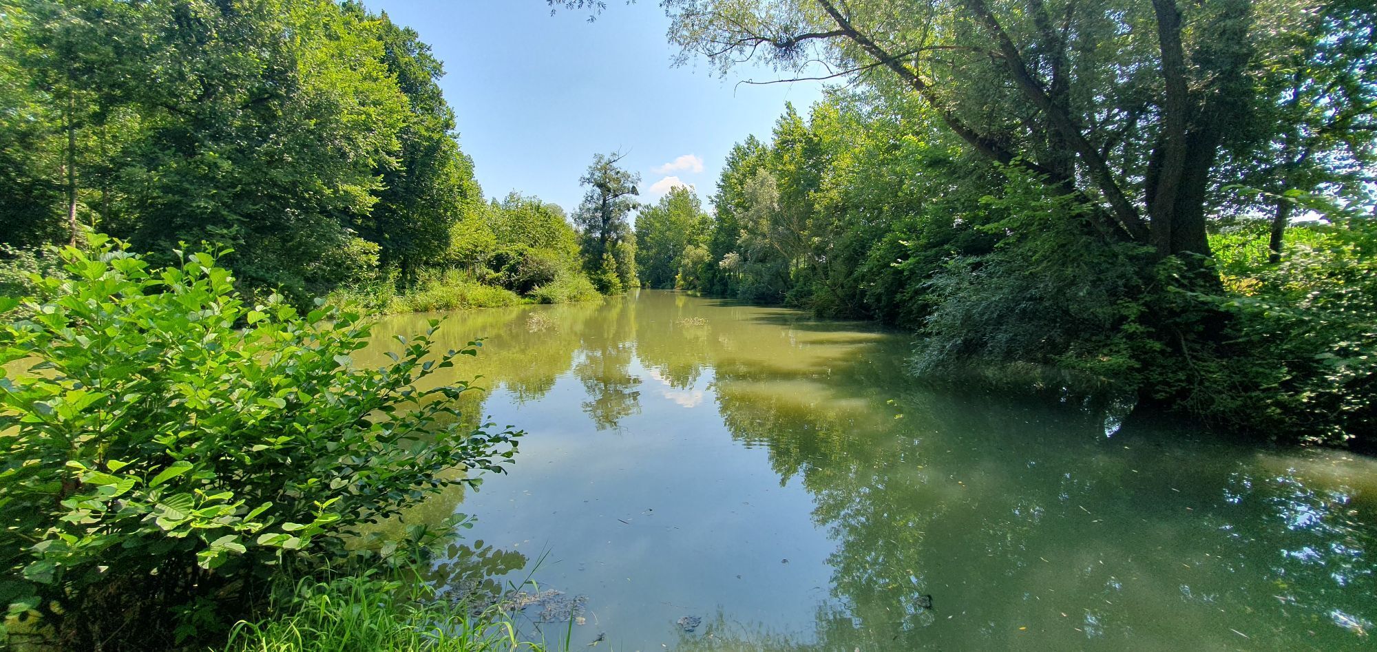
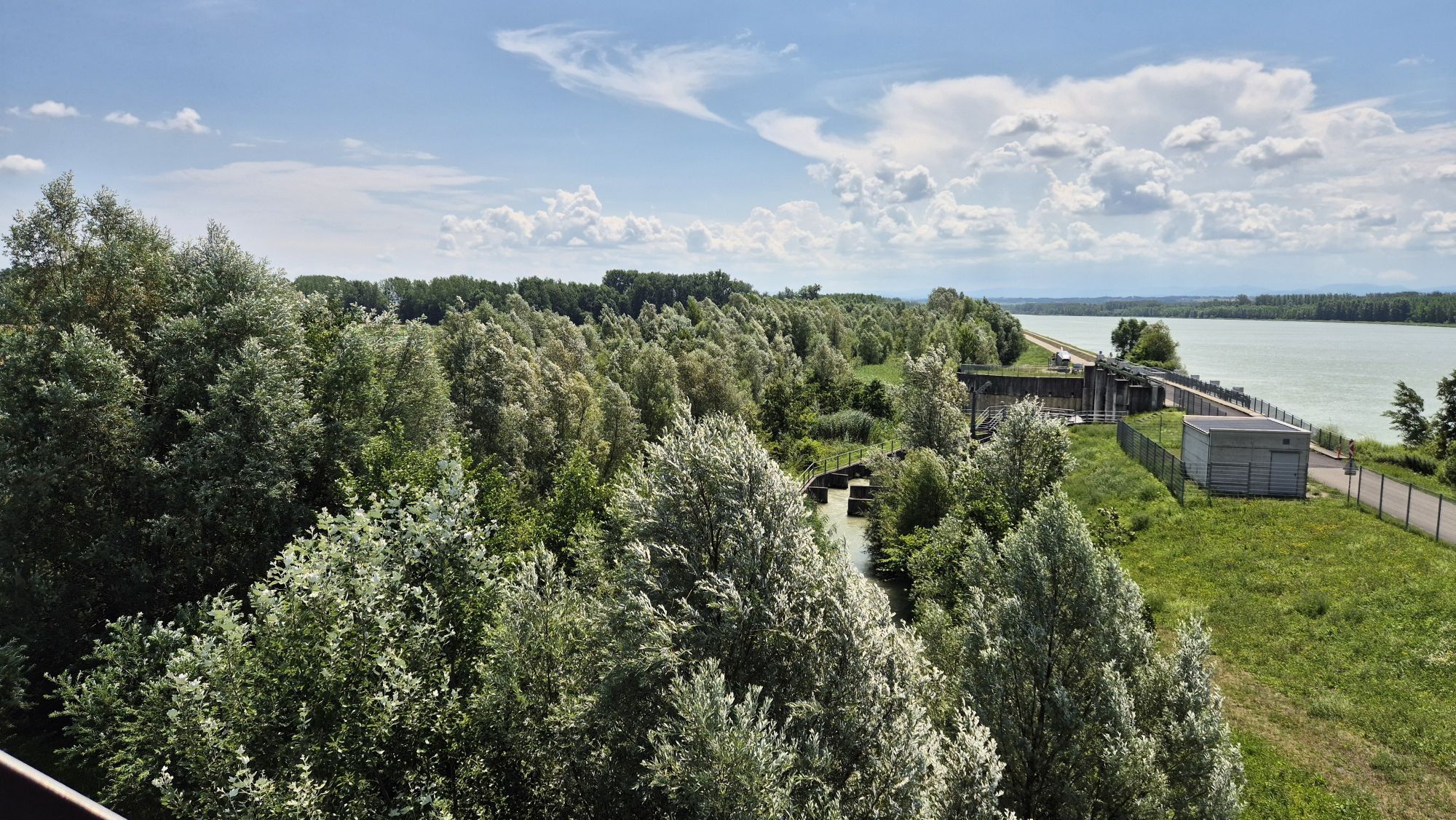
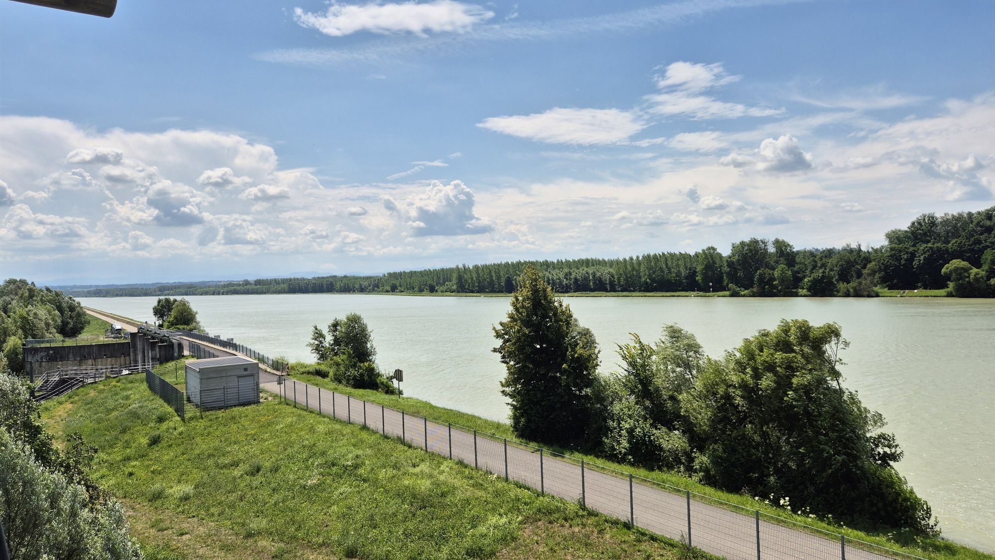
Naarn: Fuchtelmanderl Path
INTERESTING POINTS ALONG THE WAY:
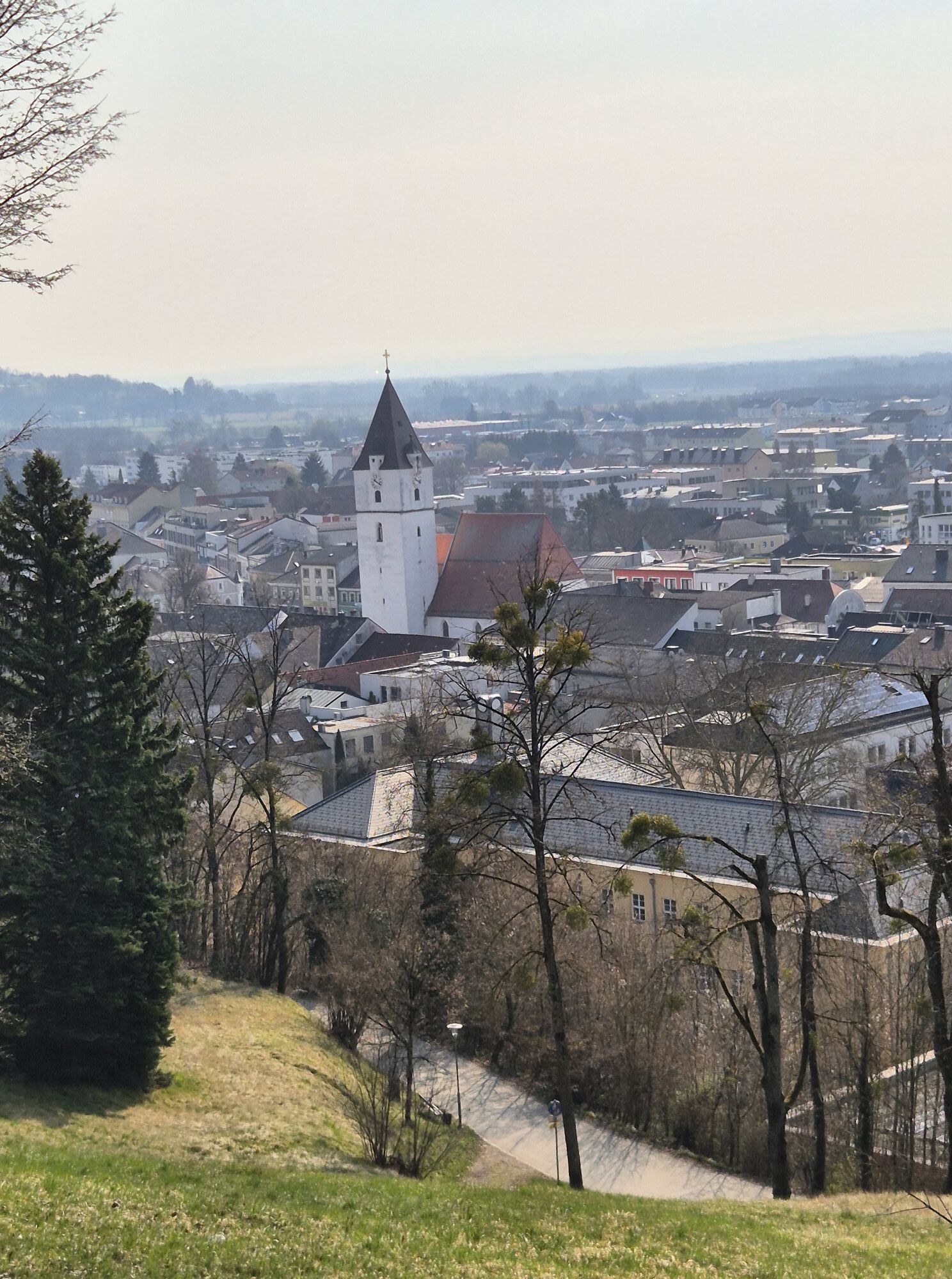
Pilgrimage Church Maria Laab
Local History Museum
Kalvarienberg Church Perg
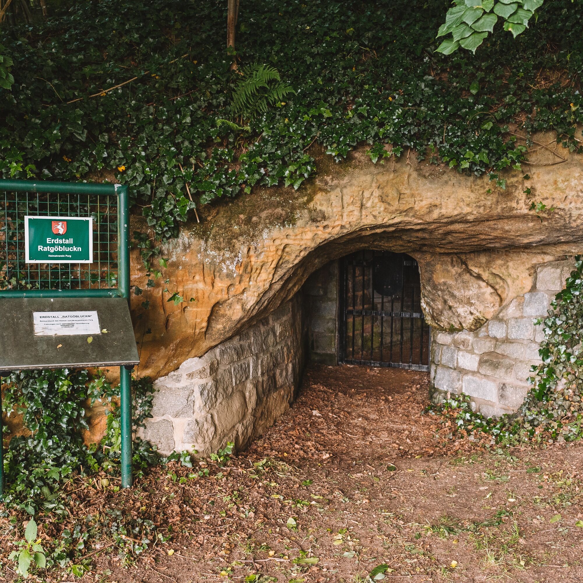
Perg: Earth cellar, local history house, gallery in the arsenal, the (somewhat different) private...
INTERESTING POINTS ALONG THE WAY:
Pilgrimage Church Maria Laab
Local History Museum
Kalvarienberg Church Perg
Perg: Earth cellar, local history house, gallery in the arsenal, the (somewhat different) private museum Oldy Kai
Au a.d. Donau was during the time of the log boom the largest timber transshipment point in the Austro-Hungarian monarchy. Here the large rafts for Vienna and Budapest were assembled.
Natural swimming lake
SPIRITUAL HIKING ON THE DONAUSTEIG:
During spiritual hiking, you experience your personal rhythm and thus your pace when walking.
Body, mind, and soul as well as the social relationships that influence us form a unity and have a mutual effect. If you want to find calm, you will walk more slowly and thus decelerate your entire organism. If you want to feel activity, you must also accelerate your walking pace – everything gets moving more intensely.
“Bring fresh wind back into life” is the motto of the “Fluchtmanderl – Path.”
You don’t have to choose escape speed, but being a bit brisker today while on the way is fine.
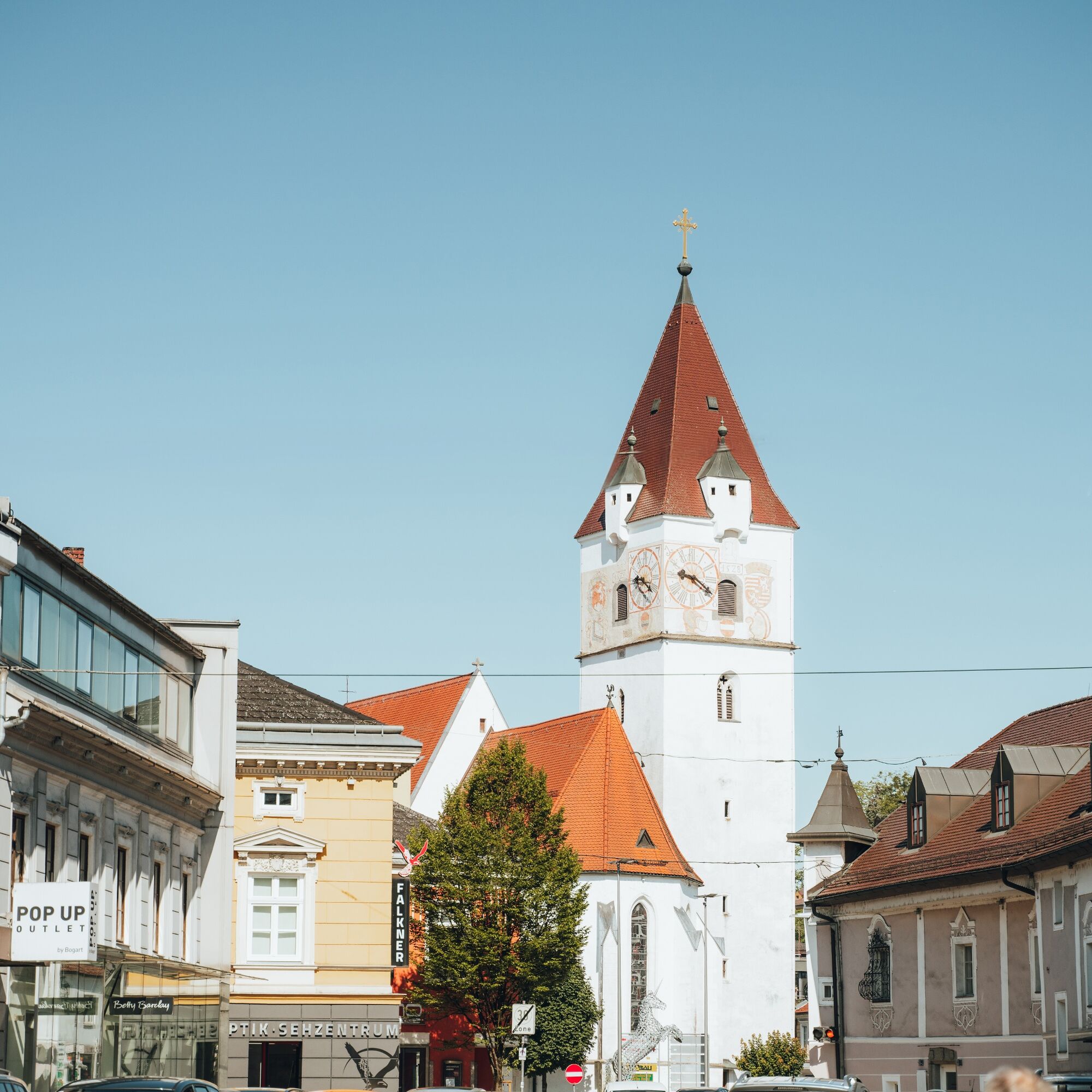
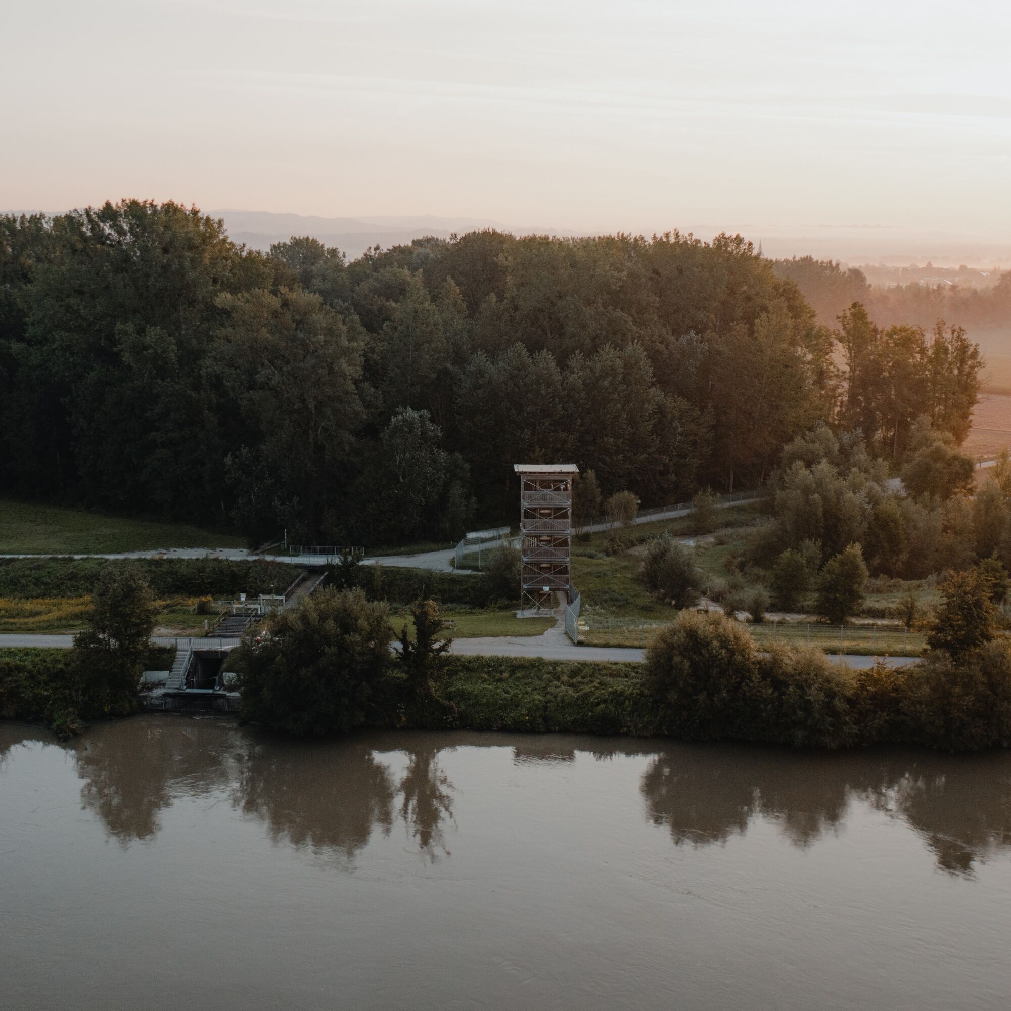
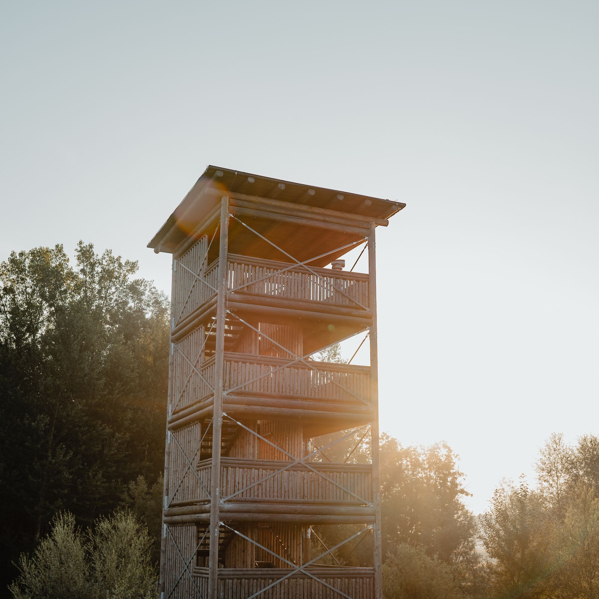

Starting from the starting point in Naarn, we pass through the town and follow Perger Straße. We cross the street and turn into Pratztrumer Str., continuing in its direction. At a cluster of farms, we continue along the street and turn right at the next T-junction. We continue on this street and keep right towards the south at a farmhouse. At Baumgarten, we keep left, go to Neuhof, and then to the Neuhofer Bridge. We cross this and follow the Donausteig against the direction of the signs toward Perg. At the cemetery, we turn left (Kerngraben) and hike out of Perg towards Weinzierl. Here we again follow the Donausteig against the sign direction and turn left in Neuhart back to Naarn.
Tak
Hiking backpack (incl. rain cover), sturdy footwear
Train: The nearest station is in Perg, 4 km from Naarn.
Boat: Boat landing stage Au/Danube
at the marketplace, by the inns, public parking lot of the market town Naarn i. M.
Municipal office Naarn im Machlande
Perger Straße 2
4331 Naarn im Machlande
Tel.: 0043(0)7262/58255-0
Fax: 0043/(0)7262/58255-31
gemeinde@naarn.ooe.gv.at
http://www.naarn.at/
Excursions with pleasurable stops! This route passes directly by the following culinary partners:
DonAu Stand'l Weinbau GmeinerUzyskaj wgląd Zawsze na żywo z ponad 9 500 kamer internetowych. bergfex Jako użytkownik Pro, możesz teraz zobaczyć odpowiednie kamery internetowe dla wielu wycieczek w aplikacji wycieczki od. Pozwala to na bezpośredni podgląd aktualnych warunków. Popularne wycieczki w okolicy
- 4,4
Der Naturparkweg in Rechberg
średniWędrówka 7,54 km - 4,6
Schwertberg: Weltstoarunde
światłoWędrówka 11,4 km - 4,8
Tragwein - Lebensquell-Runde
światłoWędrówka 12,8 km - 4,7
Aisttalrundweg + P6
światłoWędrówka 9,36 km - 4,2
Wolfsschlucht - auf den Spuren adeliger Kurgäste
Wędrówka 2,29 km - 4,4
Wartberg Ob der Aist, Natura Aist Trail Rundwanderung
światłoWędrówka 8,37 km - 4,1
Wallsee Altarmrunde
światłoWędrówka 8,19 km - 4,7
Clamrunde durch die Schlucht
światłoWędrówka 5 km - 4,7
Die Blasenstein-Runde, Oberösterreich
średniWędrówka 11,8 km - 3,8
Brandtnerhöhe - Waltersberg Runde
światłoWędrówka 9 km
Wędrówki i tropienie


Nie przegap ofert i inspiracji na następne wakacje
Twój adres e-mail została dodana do listy mailingowej.





