


BergeSeen Trail A1: Seewalchen - Nußdorf
Zdjęcia naszych użytkowników
-
 © Martina Karl 1Utworzono dnia 29.04.2026
 -
 © RoliPachiUtworzono dnia 18.09.2025
 -
 © RoliPachiUtworzono dnia 18.09.2025
 -
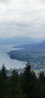
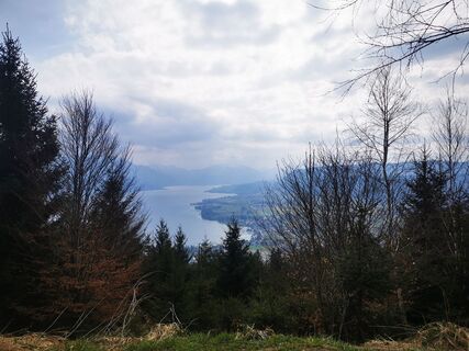
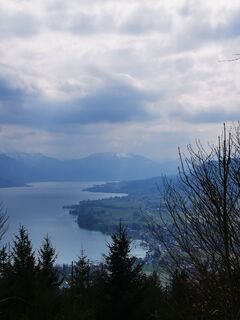
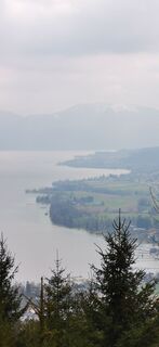
 © Klaus LehnerUtworzono dnia 19.03.2023
 -
 © Klaus LehnerUtworzono dnia 19.03.2023
 -
 © Klaus LehnerUtworzono dnia 19.03.2023
 -
 © Klaus LehnerUtworzono dnia 19.03.2023
 -
 © Klaus LehnerUtworzono dnia 19.03.2023
 -
 © Klaus LehnerUtworzono dnia 19.03.2023
 -
 © Klaus LehnerUtworzono dnia 19.03.2023
 -
 © Klaus LehnerUtworzono dnia 19.03.2023
 -
 © Klaus LehnerUtworzono dnia 19.03.2023
 -
 © Klaus LehnerUtworzono dnia 19.03.2023
 -
 © Klaus LehnerUtworzono dnia 19.03.2023
 -
 © Klaus LehnerUtworzono dnia 19.03.2023
 -
 © Klaus LehnerUtworzono dnia 19.03.2023
 -
 © Klaus LehnerUtworzono dnia 19.03.2023
 -
 © Isabella EnziUtworzono dnia 30.06.2024
 -

 © Róbert BondárenkóUtworzono dnia 05.07.2025


Prominent places and quiet forests, stately farms and old churches, wonderful viewpoints and a nostalgic railway – you will experience all this on a hike on the 1st stage of the regional trail around the...
Prominent places and quiet forests, stately farms and old churches, wonderful viewpoints and a nostalgic railway – you will experience all this on a hike on the 1st stage of the regional trail around the Attersee. Along the way, you can not only stop for refreshments but also take one or two swimming breaks.

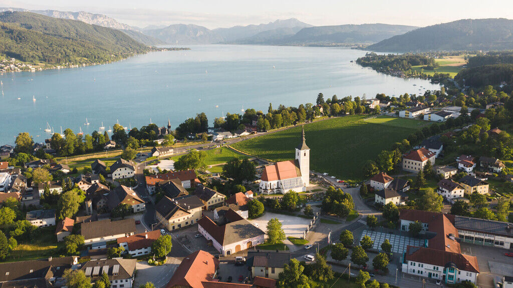
From the car park above the beach bath in Seewalchen am Attersee, walk to the parish church and behind it westwards on the school path, passing the music school and the school center. This leads you to Dr.-Rudolf-Schuh-Straße, which you follow to the right.
At the edge of the forest, turn left onto the forest path leading to the Ginzkeyweg. Follow it to the right and soon veer right through the forest past the Ginzkey monument. Now consistently follow the signs for the Attersee West Hiking Trail, which passes behind the Litzlberger Keller and then runs – partly on side roads, partly on field paths, forest and meadow paths – west of Litzlberg am Attersee.
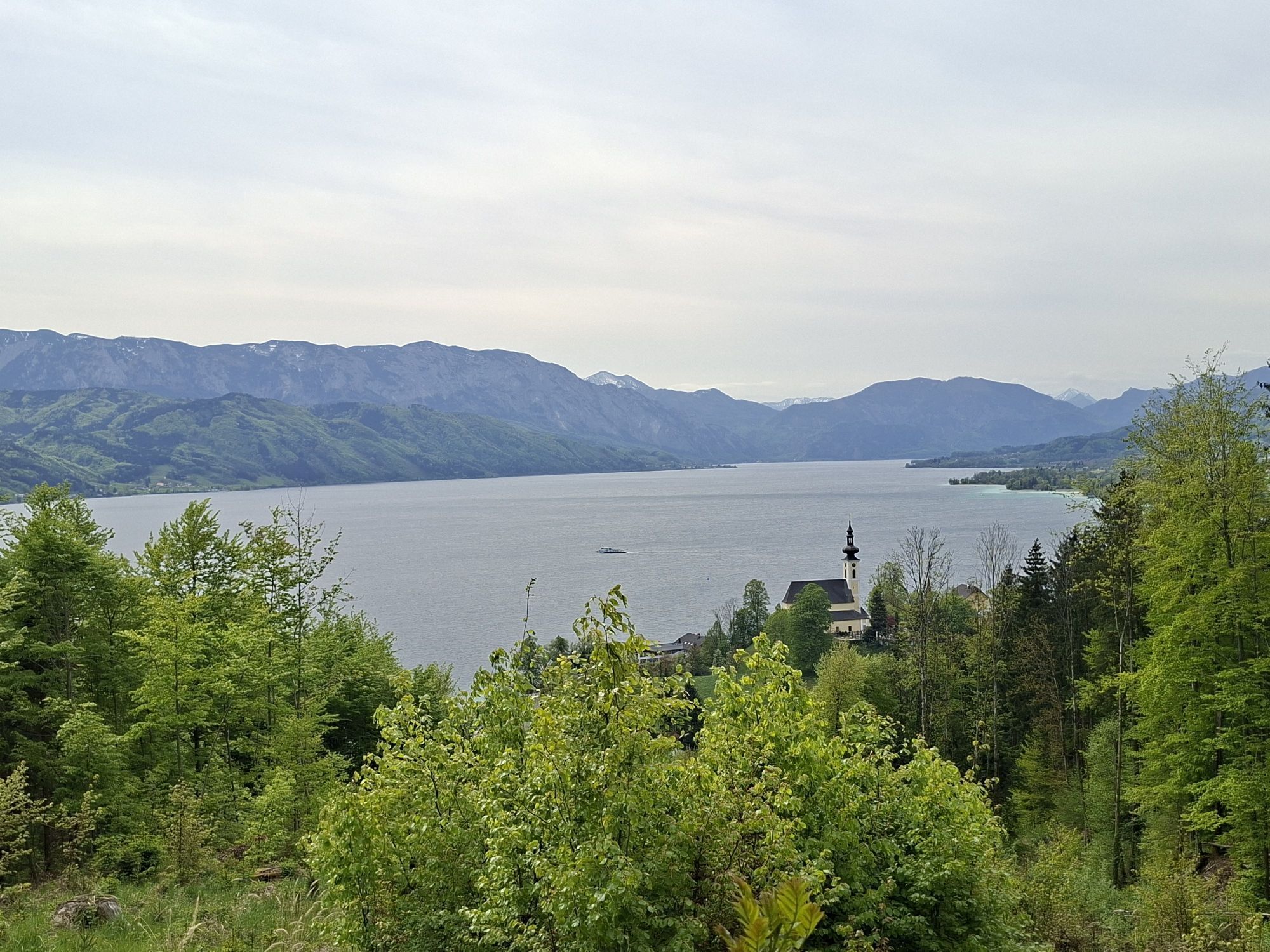
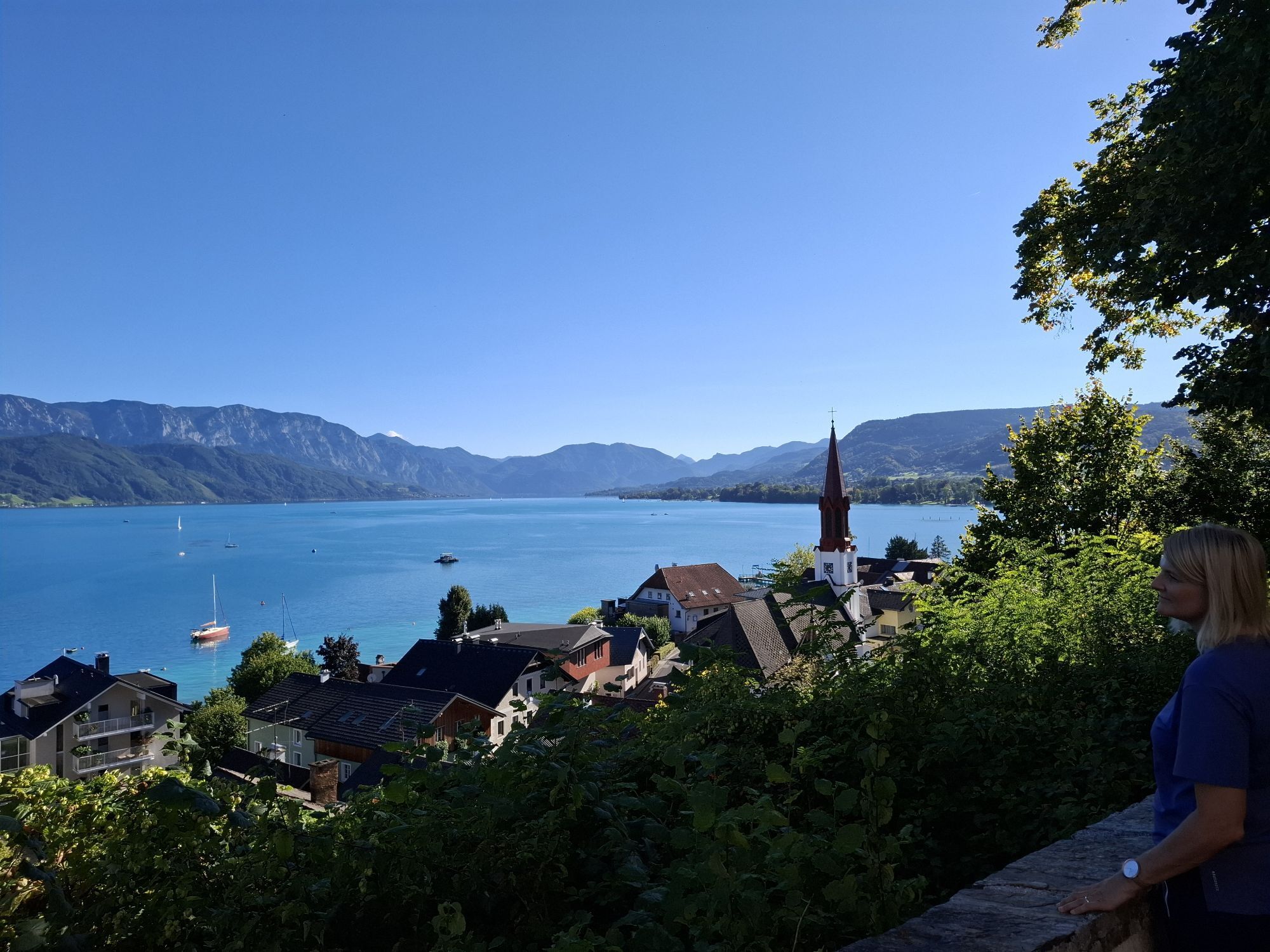
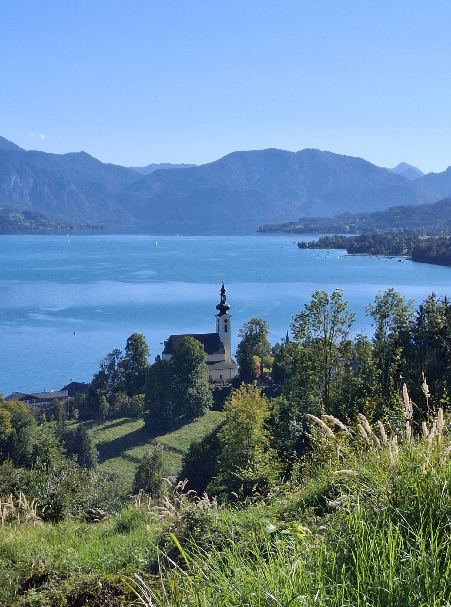
You thus reach the 16th-century filial church of the small village Buchberg (487 m). There, follow the federal road for 350 m to the right, then turn right again onto the West Hiking Trail. Attention! The path is diverted in this area! Passing the settlement at Weinberg, you reach the hamlet of Haining. Turn left there, passing the riding hall to the edge of the village Berg and then left at about 800 m elevation through the forest slopes of Buchberg. From the so-called Schlossberg, the trail then descends to Attersee am Attersee (496 m). 2:30 h
From there you walk to the station of the narrow-gauge Attersee Railway, whose tracks are accompanied by a narrow path to Palmsdorf. Continue behind the village beside the railway line to the motorway bridge. Immediately after, turn left through the settlement of Lohen. Finally, turn right on Wildenhager and Römerstraße into the center of St. Georgen im Attergau (540 m). 1:00 h
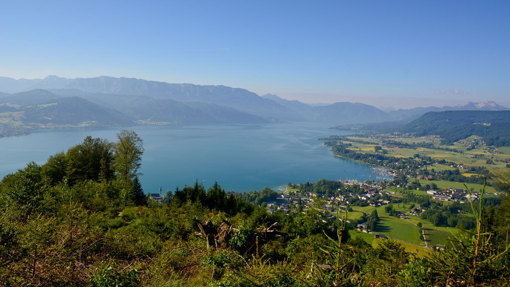
Return to Römerstraße, but continue further on to the edge of town. Then march about 2 km on the adjoining paved farm road and once more under the motorway. Beyond, in the hamlet 204 Buch, be careful: at an inconspicuous cycling and riding path arrow, turn left to cross to Wildenhag (593 m) on a gravel road and then a field path between meadows. From there, continue right alongside the Kronberg district road and past the Waldmühle hotel. Then turn right onto the Glücksweg (Mahlweg) and hike through the forest up to the "Kronbergplatzl" with the partially shingled Kronberg Chapel (705 m). From here, enjoy a stunning view over the Attergau and the Attersee (telescope). 2:00 h The signpost "RW Kronberg" splits into two directions here – briefly follow the road uphill to the Hollerweger snack bar and then turn left on the second side street at the right curve to the south-rising Kronberg. After a short climb, continue right on the forest road, through cuttings and past the peak (789 m) and over its wooded southeast shoulder to the open Wienerroith (771 m, nice view of the Attersee). Take a few steps left on the access road to the buildings until the marked hiking trail to Nußdorf begins on the left. It runs along the edge of the meadow and descends through steep forest terrain. Finally, reach Nußdorf am Attersee (500 m) on the Wildholzweg. 2:00 h
For all stages, you will need hiking or mountain boots with treaded rubber soles as well as wind- and rainproof clothing. A change of clothes and a small first-aid kit should also be included in your backpack. The amount of provisions you should pack depends on the number of available rest stops. In any case, you should always take along plenty to drink. Telescopic poles are helpful, especially when walking downhill.
In alpine terrain, be aware of the danger of falling rocks.
Through early summer, you may encounter steep snowfields or firn gullies – especially during icy conditions, there is an acute risk of falling and thus fatal injury!
Due to storm damage, forestry work or construction work, individual trail sections may be difficult or impassable at times.
Cows in the alpine meadows are often curious. Because they are nursing mothers, they develop a strong tendency to protect their calves. Therefore, move through cow pastures quietly, keep at least 20 metres of distance to the animals and never pet calves! In the case of threatening behaviour (pawing, stamping) slowly back away (do not turn your back). Keep dogs on a leash. They must not bark at or chase cows. In the case of an attack, the dog must be released from the leash.
Courtesy of the text provided by the KOMPASS publishing house and Wolfgang Heitzmann.
More information at trail.salzkammergut.at
Note: By boat from Seewalchen to Attersee – North circular route
Kamery internetowe z trasy
-
Schilift Kron2 am Kronberg
-
Seewalchen am Attersee
-
Aichereben / Nussdorf am Attersee
-
St. Georgen im Attergau - Aussichtsturm Lichtenberg
-
Union Yacht Club Attersee
-
Gahberg - Weyregg am Attersee
-
Bahnhof Attersee am Attersee
-
Weyregg Wachtberg
-
Weyregg Gahberg Sternwarte
-
Cafe Eichhorn
-
Weyregg am Attersee
-
Attersee
Popularne wycieczki w okolicy
-
4,4
Weißenbach am Attersee - Schoberstein
średniWędrówka 3,31 km -
3,6
Mondsee: Rund um den Mondsee
światłoJazda na rowerze 26,3 km -
3,6
Unterach am Attersee: Hochplettspitz
Wędrówka 4,25 km -
4,4
Rund um den Wachtberg
światłoWędrówka 8,63 km -
4,4
Kienesberg - Födinger Alm
światłoWędrówka 4,37 km -
4,7
Hochleckenhaus-Brunnkogel-Hochleckenkogel
średniWędrówka 12,2 km -
4,7
4 Gipfel Runde
średniWędrówka 13,1 km -
4,6
Hochleckenhaus über Kienklause
średniWędrówka 4,37 km -
4,7
Nixenfall Steinbach am Attersee, Österreich
światłoWędrówka 4,74 km -
3,1
GH Kienklause - Hochleckenhaus - Taferlklause
ciężkiWędrówka 8,52 km

Wędrówki i tropienie


Nie przegap ofert i inspiracji na następne wakacje
Twój adres e-mail została dodana do listy mailingowej.