






Kopfing: Blick ins Land No. 3

INTERESTING POINTS ALONG THE WAY
Legendary cultural life:
Feichtberg radar stationNatural space and activity:
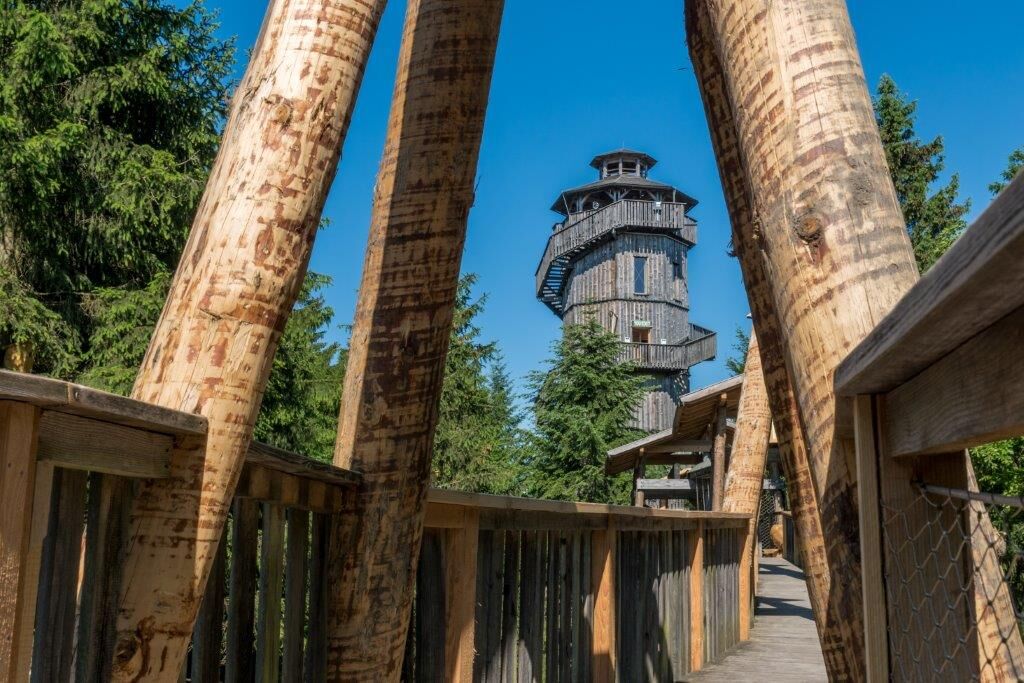
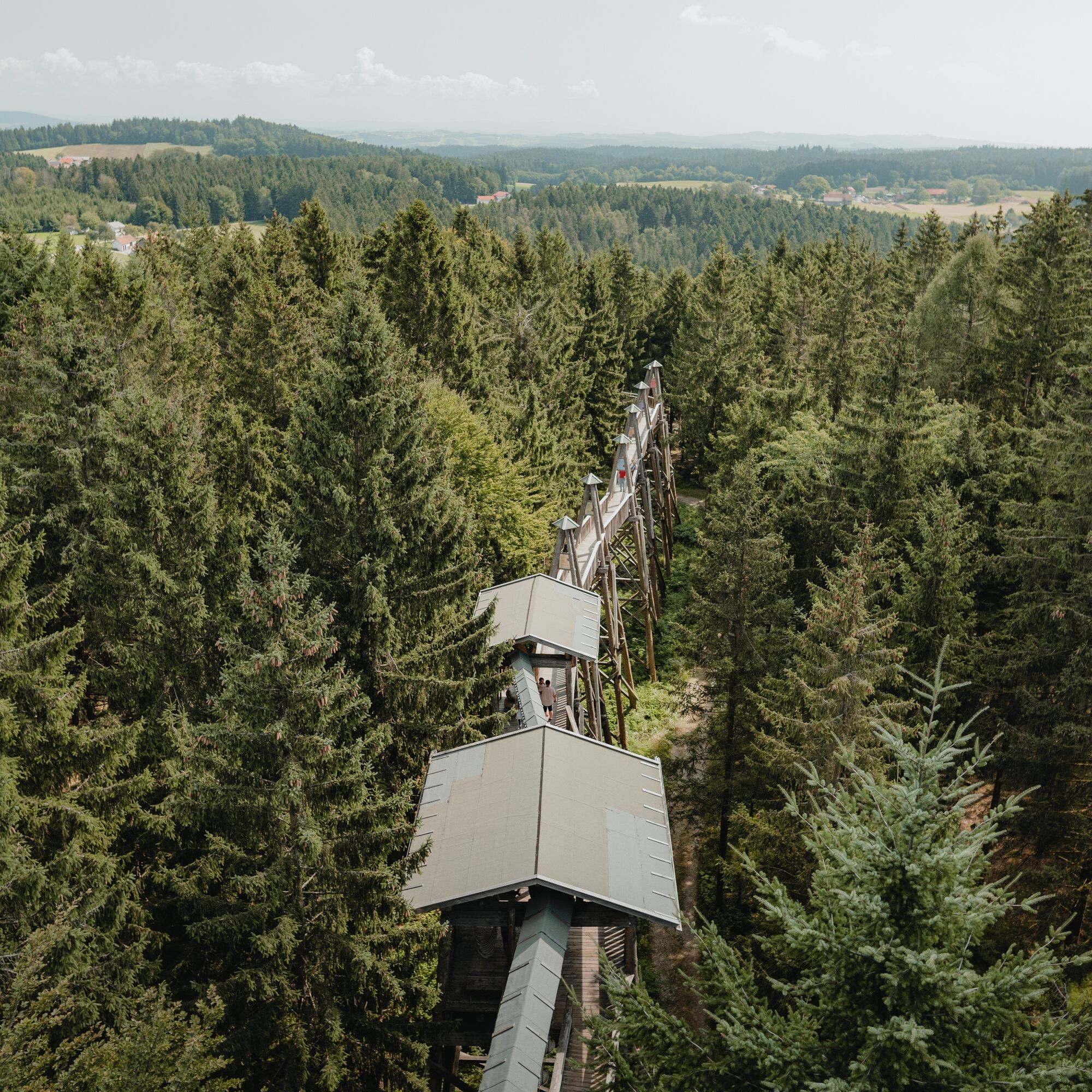
Canopy walkway nature adventure park: 1 km hiking trail along treetops, 5000m² adventure playground...INTERESTING POINTS ALONG THE WAY
Legendary cultural life:
Feichtberg radar stationNatural space and activity:
Canopy walkway nature adventure park: 1 km hiking trail along treetops, 5000m² adventure playground for young and oldAmeisberg - viewpoint with Celtic sacrifice site
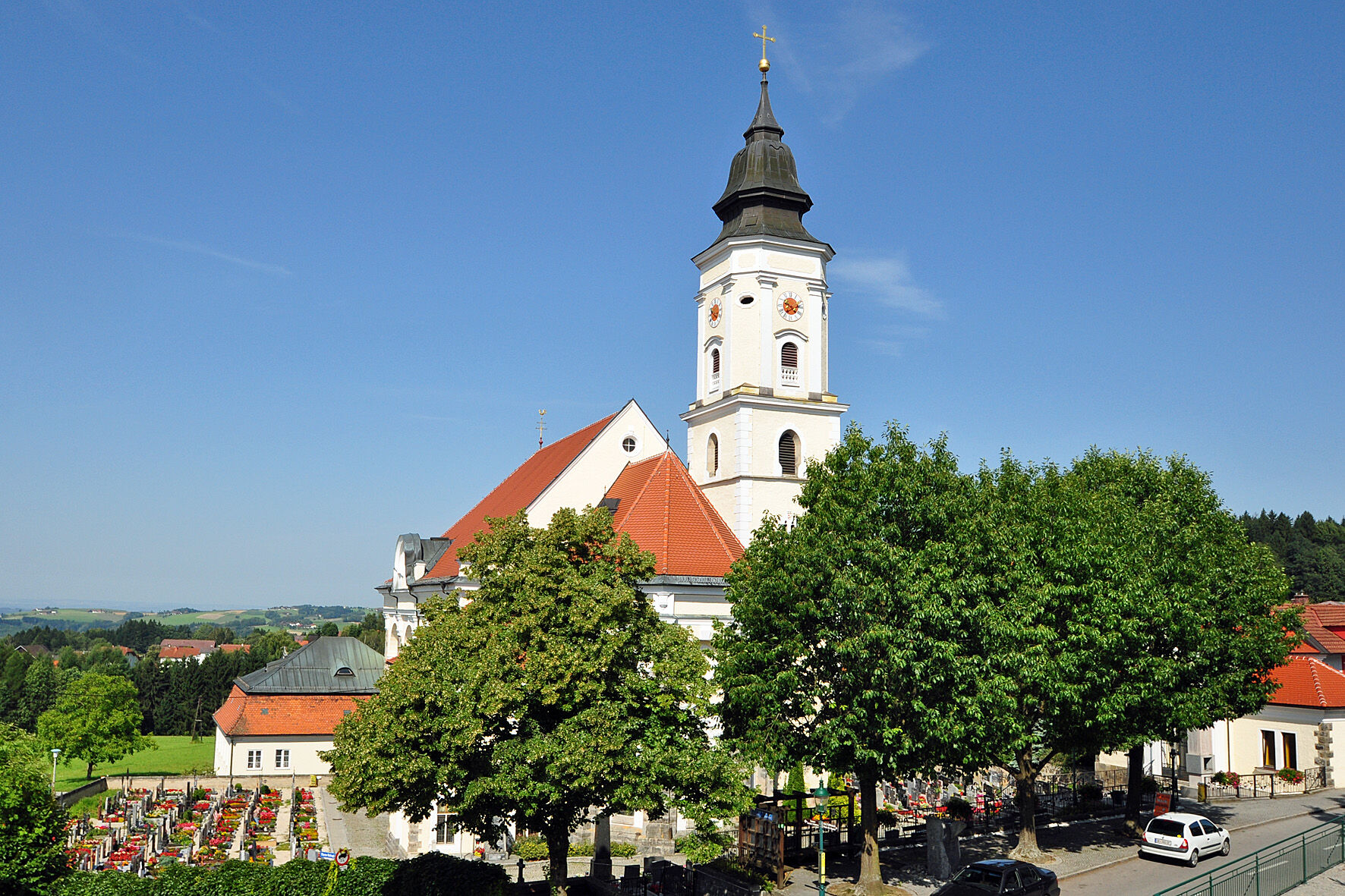
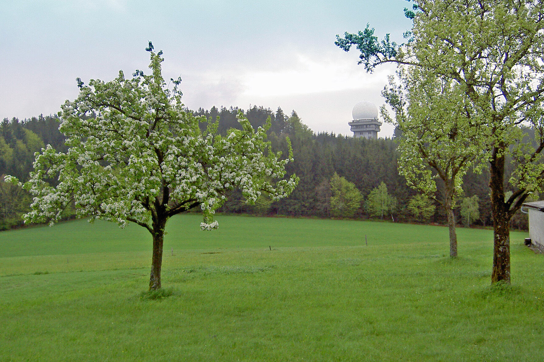
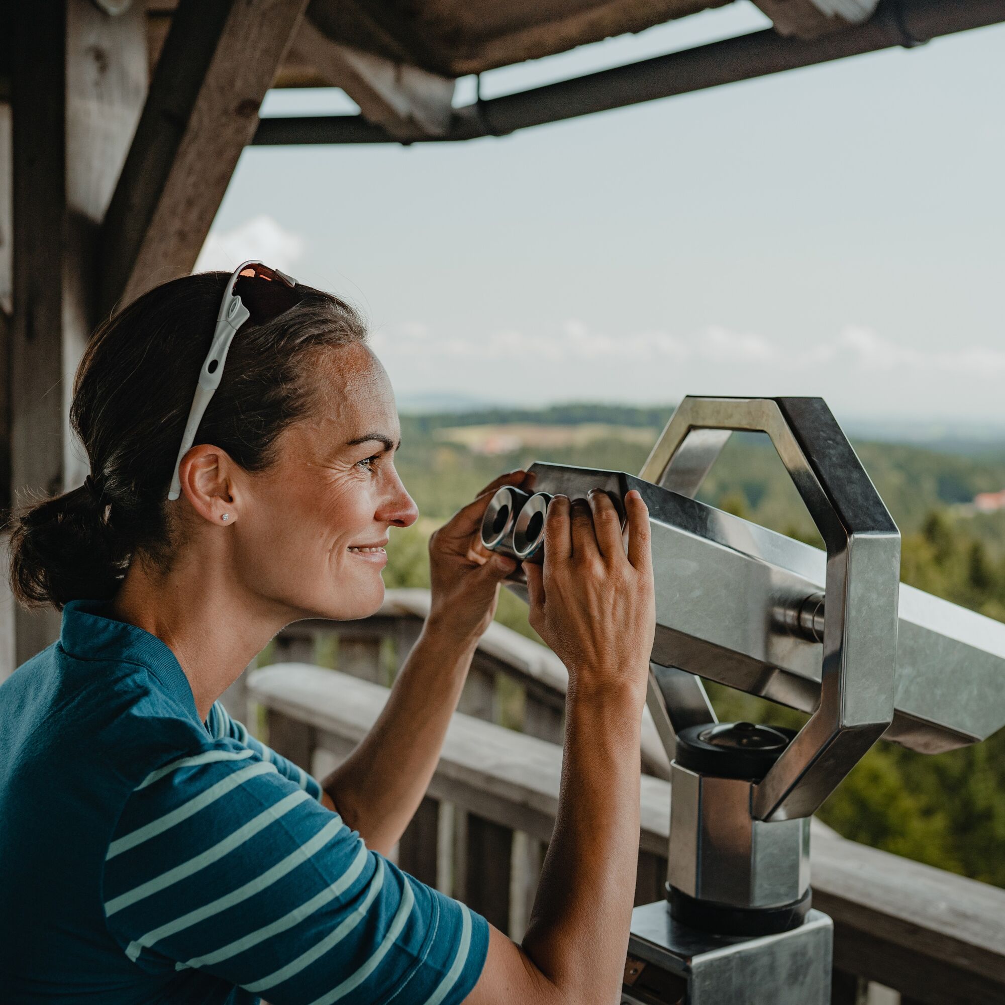
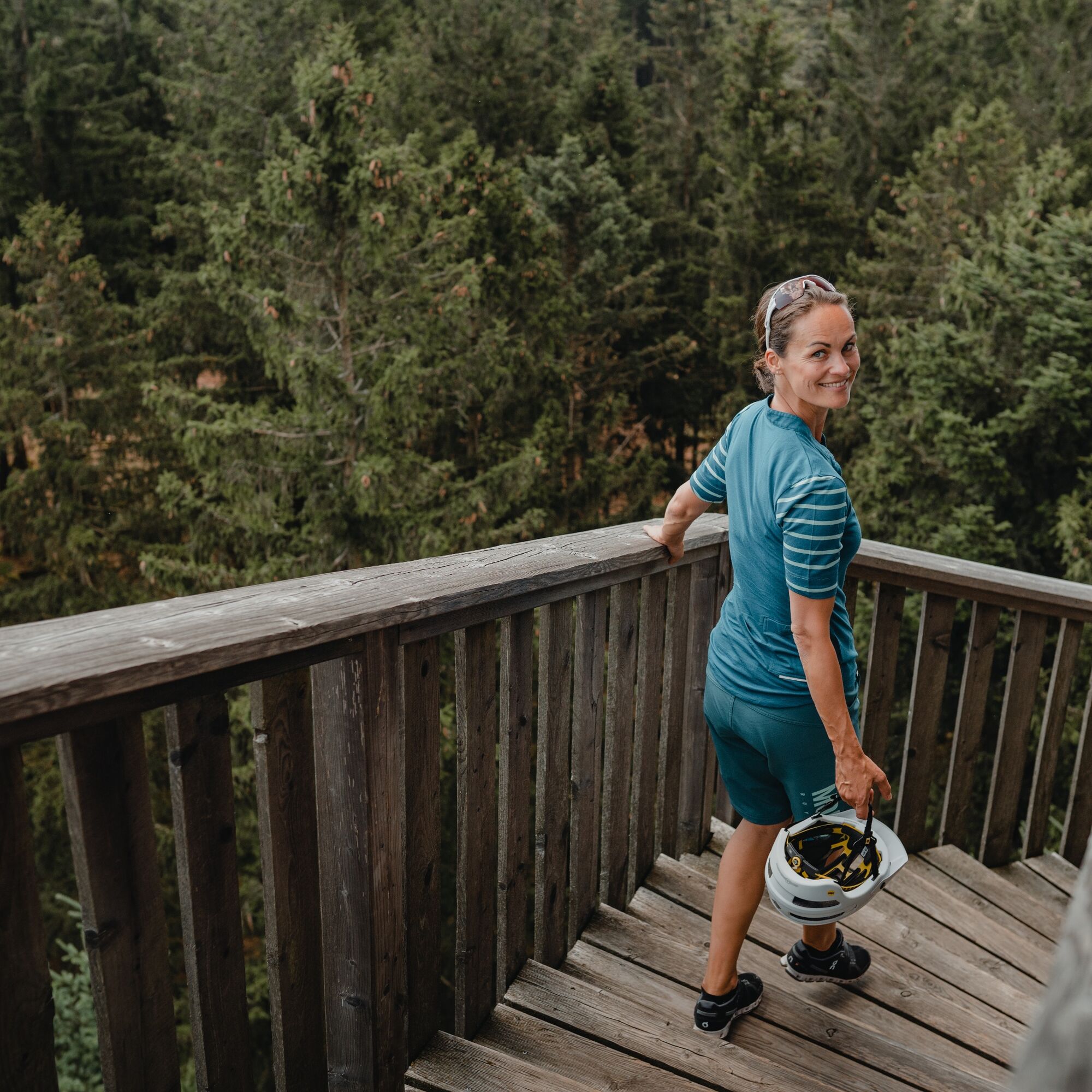

From the village center, past the canopy walkway area, the path steadily climbs to Feichtberg with radar station (777 m). The area from Feichtberg over Ameisberg to the Ach quarry gives name to the “View into the Countryside” route. The absolute highlight of this hiking route is Ameisberg with Hochholzstein, a cult and sacrifice site. From Hochholzstein, Kopfing literally lies at your feet. The view stretches over the Hausruck into the Alpine foothills, reaching Eisenwurzen, Sengsengebirge, Traunstein, Höllengebirge, Schafberg, Untersberg, and Watzmann. On particularly clear days, majestic Alpine peaks such as Ötscher, Eisenerz Alps, Gesäuse, Totes Gebirge with Großer Priel, Dachstein, Tennengebirge, Hochkönig, and Loferer Steinberge can also be seen. About 200 m from Hochholzstein, now surrounded by high forest, lie some huge, mystical, and also mythical boulders. It cannot be excluded that this place has already served as a cult or sacrifice site for the Celts. Allegedly, these stones emit “positive energy” – definitely “perceptible” by some visitors. Another highlight along this path is the former Ach quarry. Here an idyllic lake has formed, promising cooling on hot summer days. Downhill, the route continues through shady mixed forest to Neukirchendorf, Dobl, over Götzenberg back to Kopfing.
Hiking backpack (incl. rain cover), sturdy footwear
By car:
From Vienna - A1 - A25 - Wels-Nord exit - right on B137 Innviertler Straße - right on B134 Walerner Straße - left on L1221 Daxberg district road - left on B129 Eferdinger Straße - right on L517 Kessle state road to Natternbach there left on Kopfinger district road to Kopfing im Innkreis
From Linz - B127 Rohbacher Straße - left on B131 Aschacher Straße - right on B130 Nibelungen Straße - in Engelhartszell left on B136 Sauwald Straße - left on L1139 to Kopfing
Kopfing is accessible by bus. Timetables at: www.ooevv.at
Parking available at the Kopfing municipality
Kopfing im Innkreis municipal office
Hauptstraße 95
4794 Kopfing im Innkreis
Tel.: 0043 (0) 7763 2205 0
gemeinde@kopfing.ooe.gv.at
www.kopfing.at
Refreshment options along the way:
Gasthof Oachkatzl at the canopy walkway Kirchenwirt, Kramer Gasthof zur Post, Grüneis Wasner Mostschenke, WimmerThis route is presented to you by the Danube Upper Austria tourism region
Kamery internetowe z trasy

Popularne wycieczki w okolicy
-
4,7
Hofkirchen: Waterfall round
średniWędrówka 8,43 km -
3,9
Waldkirchen: 4/4 View Round | Large Danube Resonance Path Round
średniWędrówka 12,9 km -
3,1
Alm-Mühlen-Runde
światłoWędrówka 5,12 km -
4,5
Rannastausee
światłoWędrówka 9,03 km -
5,0
Kneipp,- Fitnessweg im Rannatal
światłoWędrówka 3,79 km -
4,5
Rannatalweg
średniWędrówka 10,7 km -
4,0
Danube Cycle Path Stage 1 North Bank: Passau - Schlögen
światłoKolarstwo długodystansowe 40,8 km -
4,0
Panoramaweg
światłoWędrówka 7,53 km -
3,8
Esternberg: Kößlbachrunde
światłoWędrówka 15,8 km -
5,0
Pfarrkirchen: dream view route
średniWędrówka 15,7 km
Wędrówki i tropienie


Nie przegap ofert i inspiracji na następne wakacje
Twój adres e-mail została dodana do listy mailingowej.





