


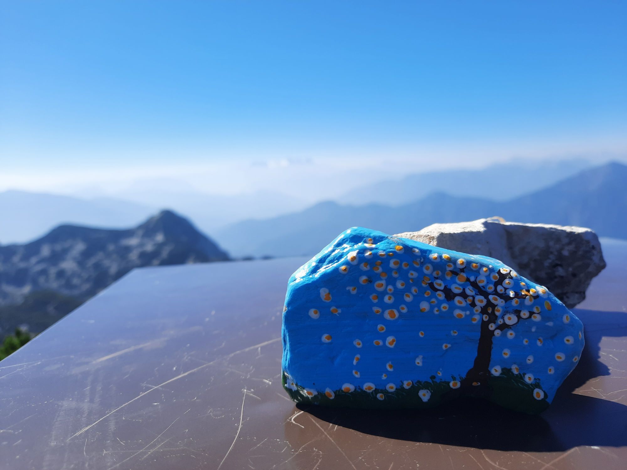
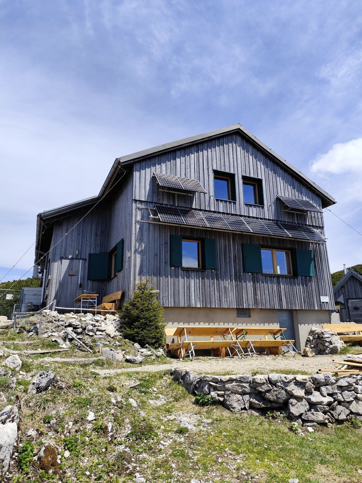
BergeSeen Trail H2: Rieder Hütte - Steinbach am Attersee
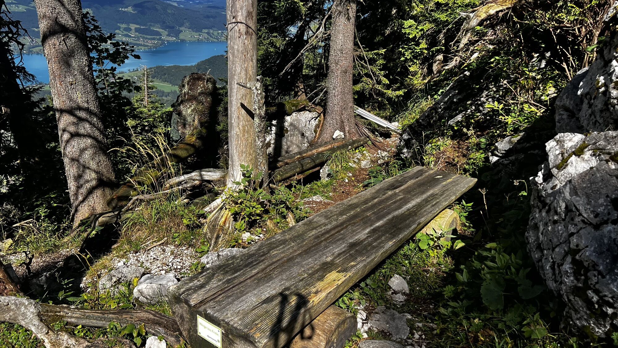


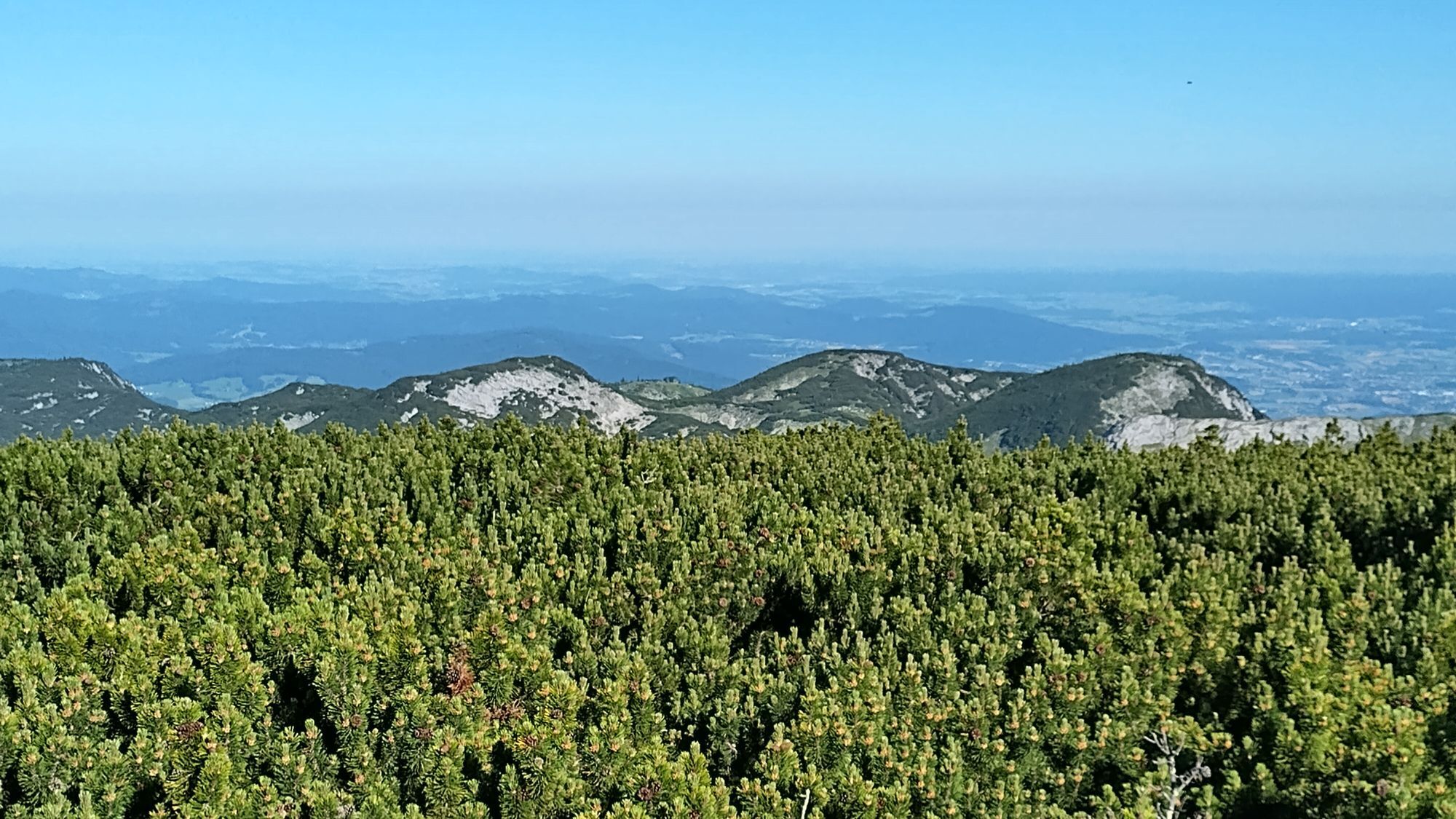
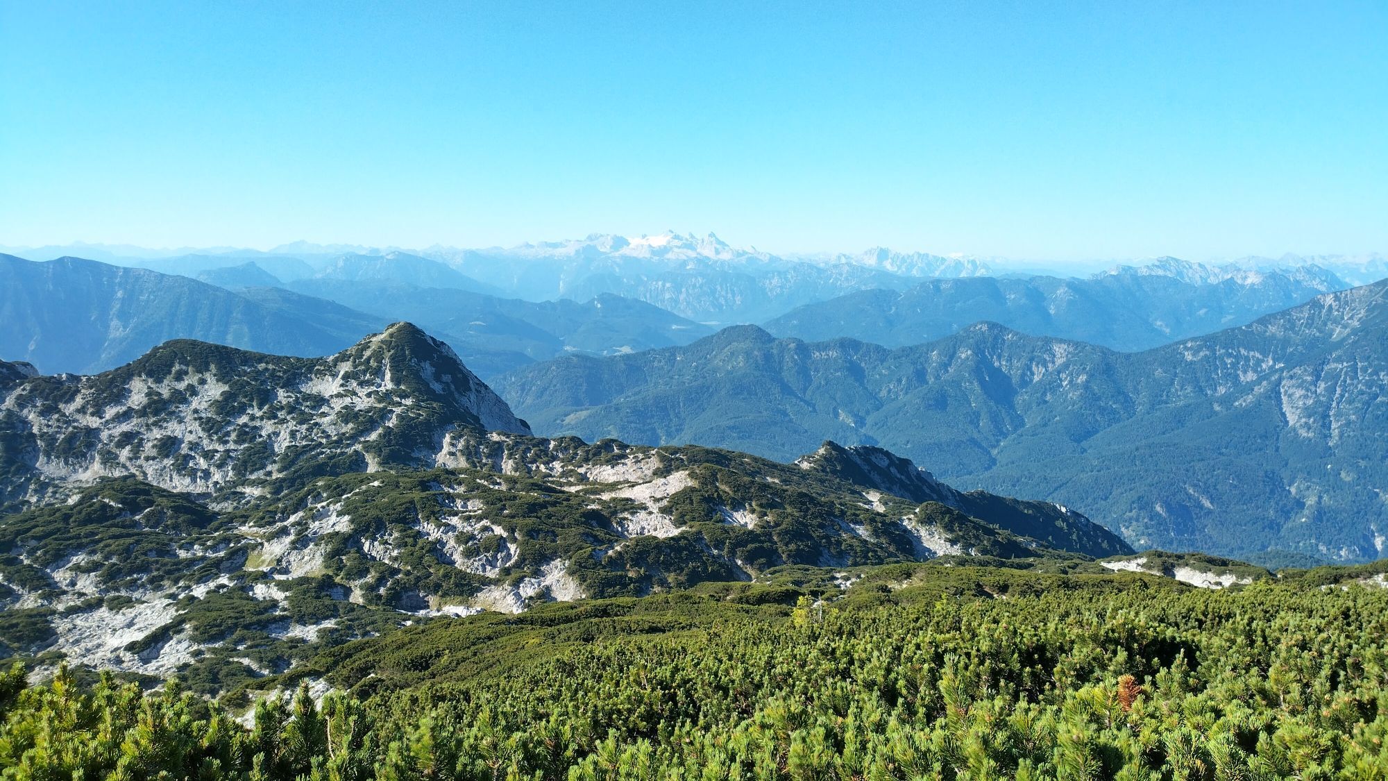
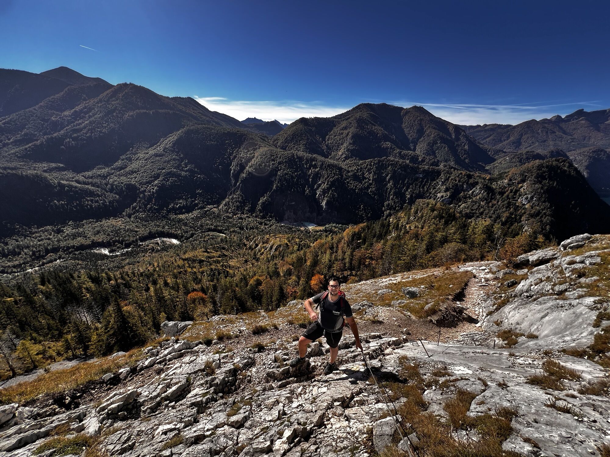
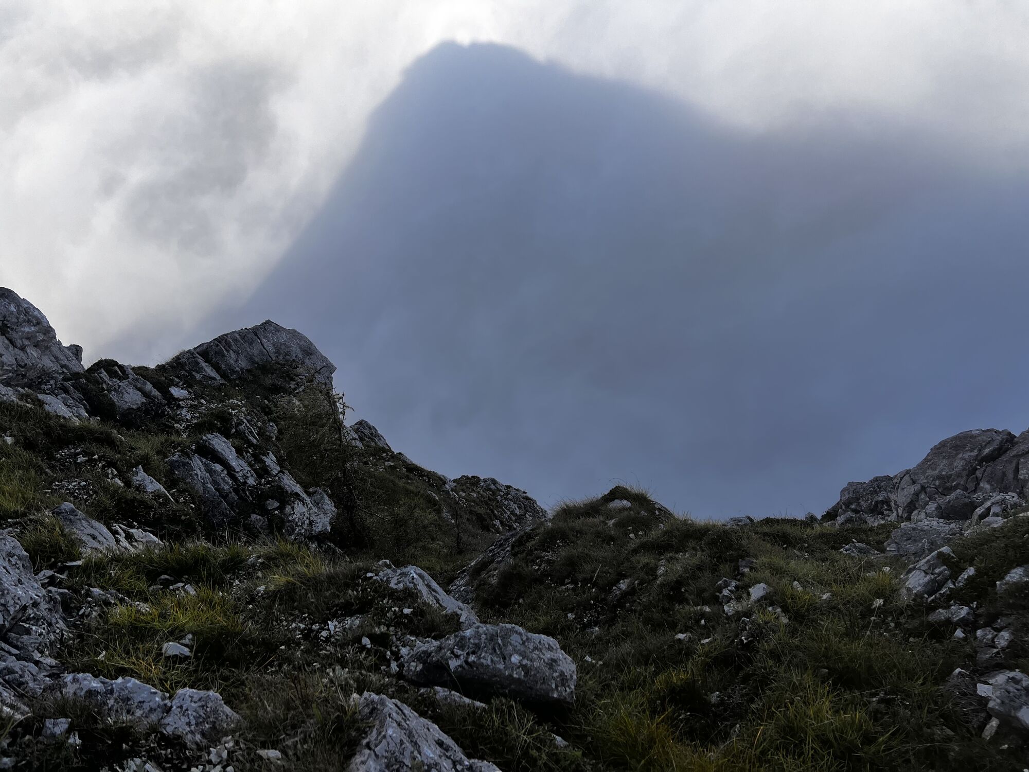

The crossing of the western Höllengebirge requires sure footing and good fitness, as it involves several ascents and descents. But the landscape you pass between the Rieder Hütte and the frequently visited...
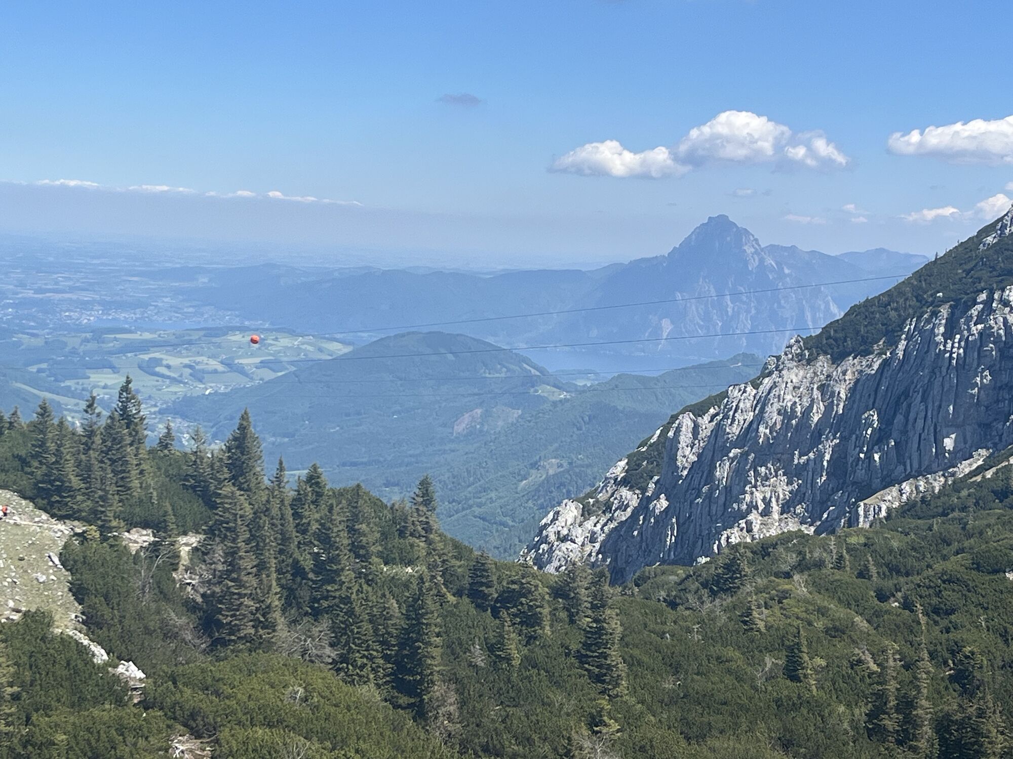
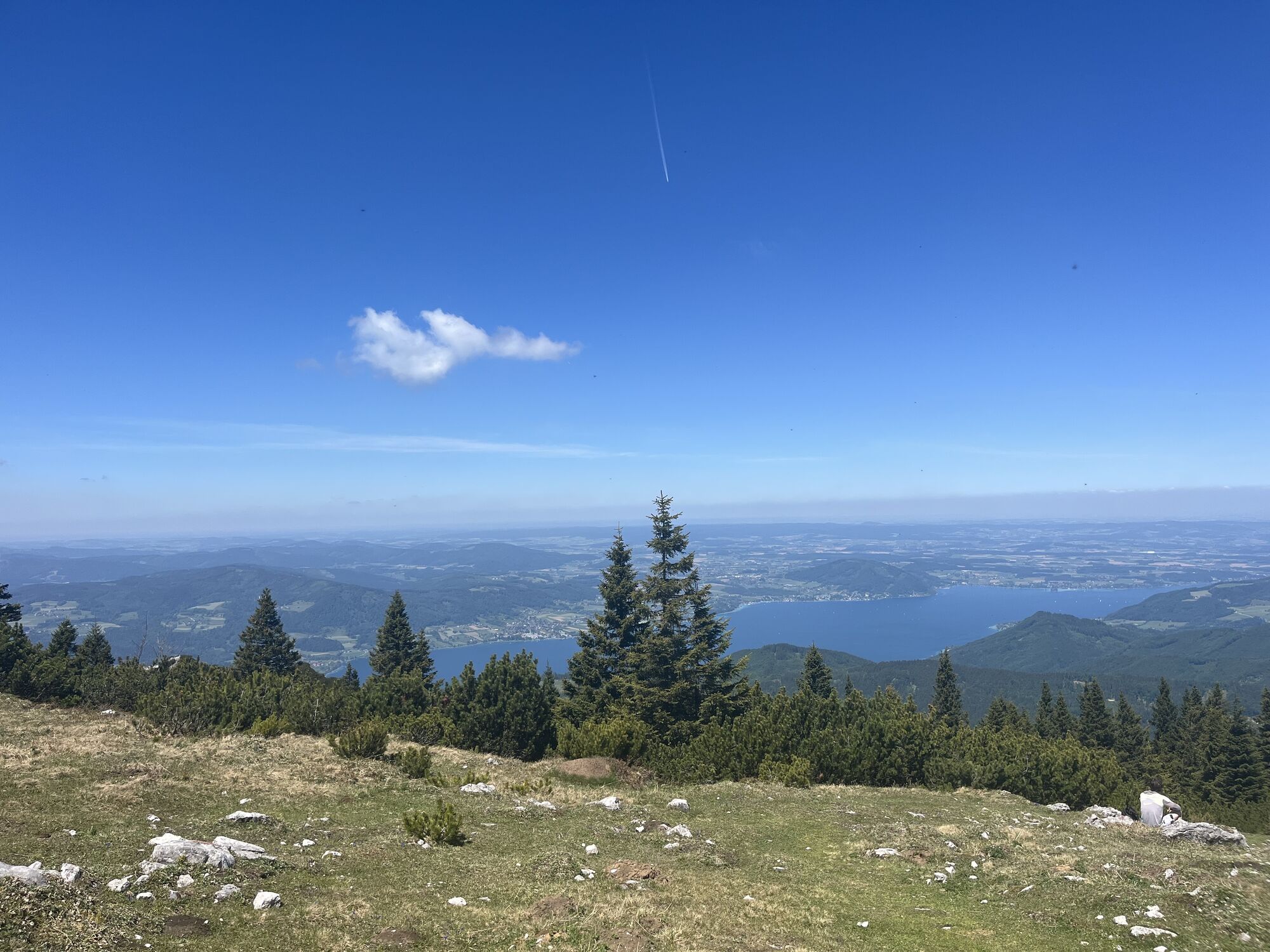
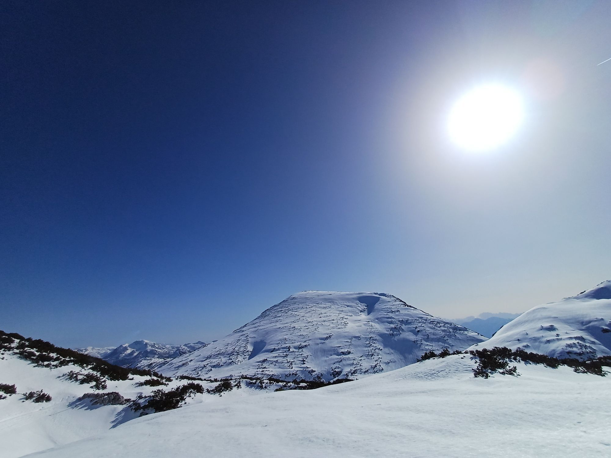
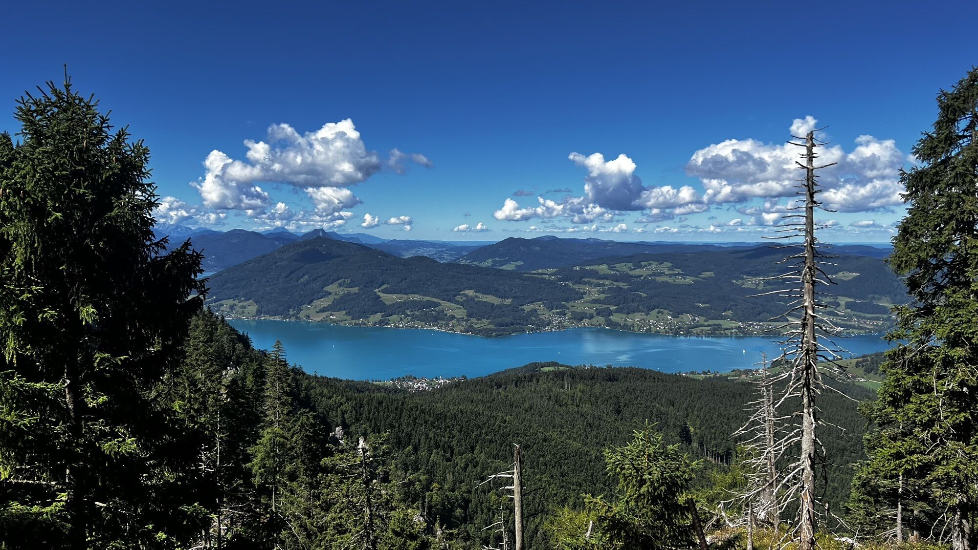
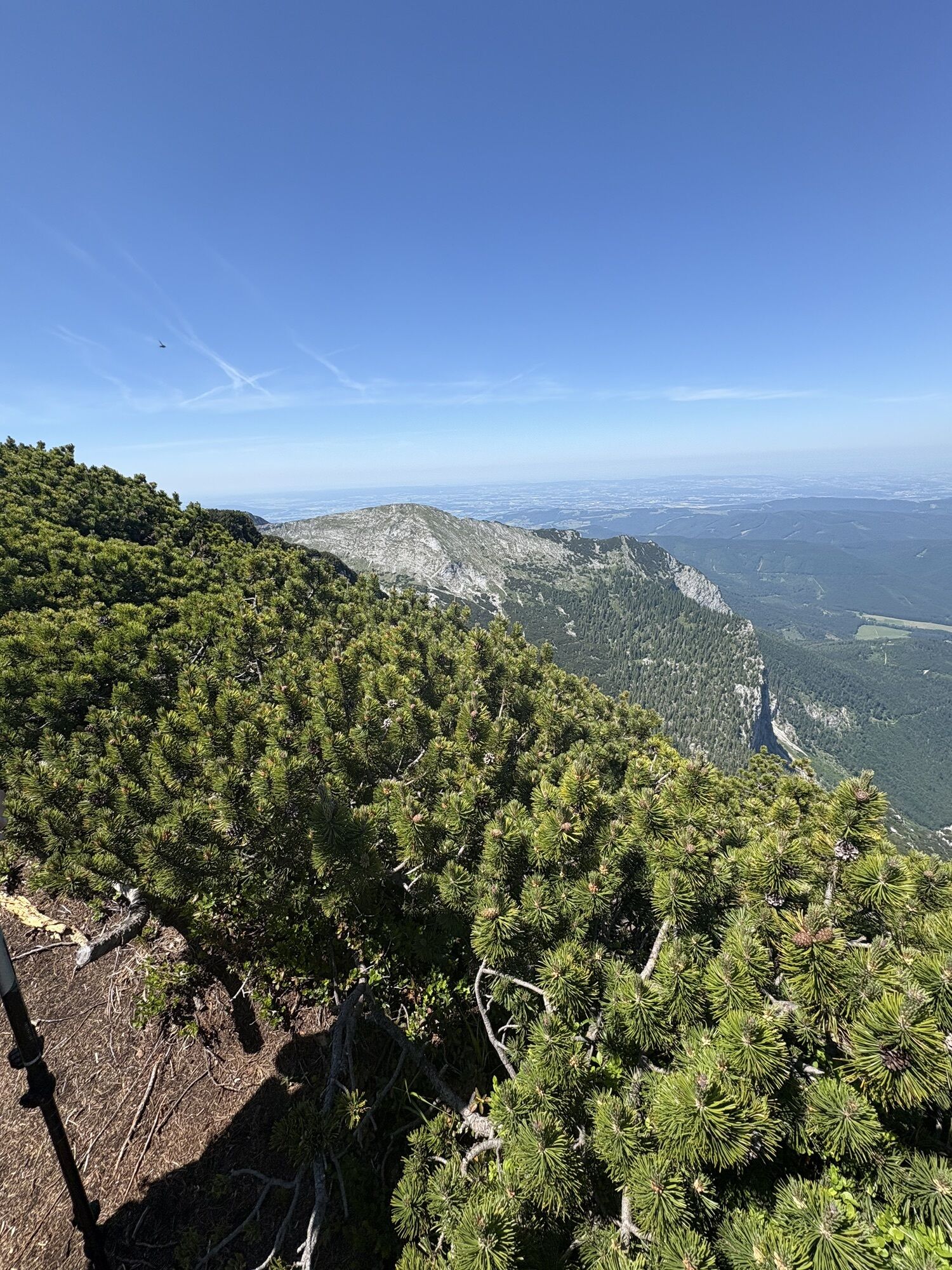
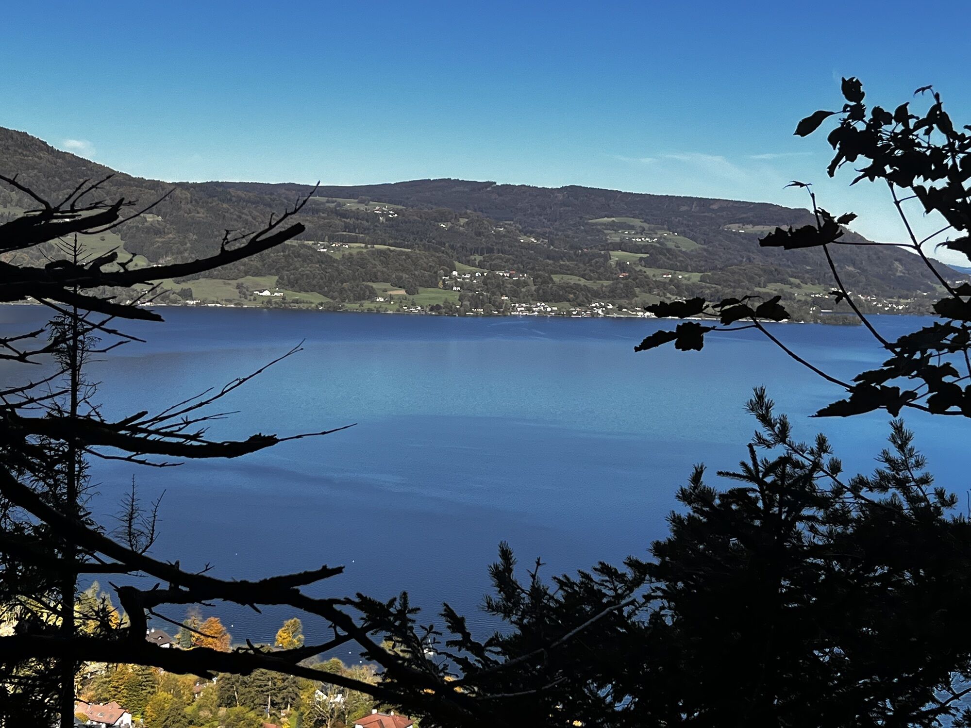
The crossing of the western Höllengebirge requires sure footing and good fitness, as it involves several ascents and descents. But the landscape you pass between the Rieder Hütte and the frequently visited Hochleckenhaus is truly unique. On clear days, you enjoy wide views of the mountain world of the Salzkammergut.

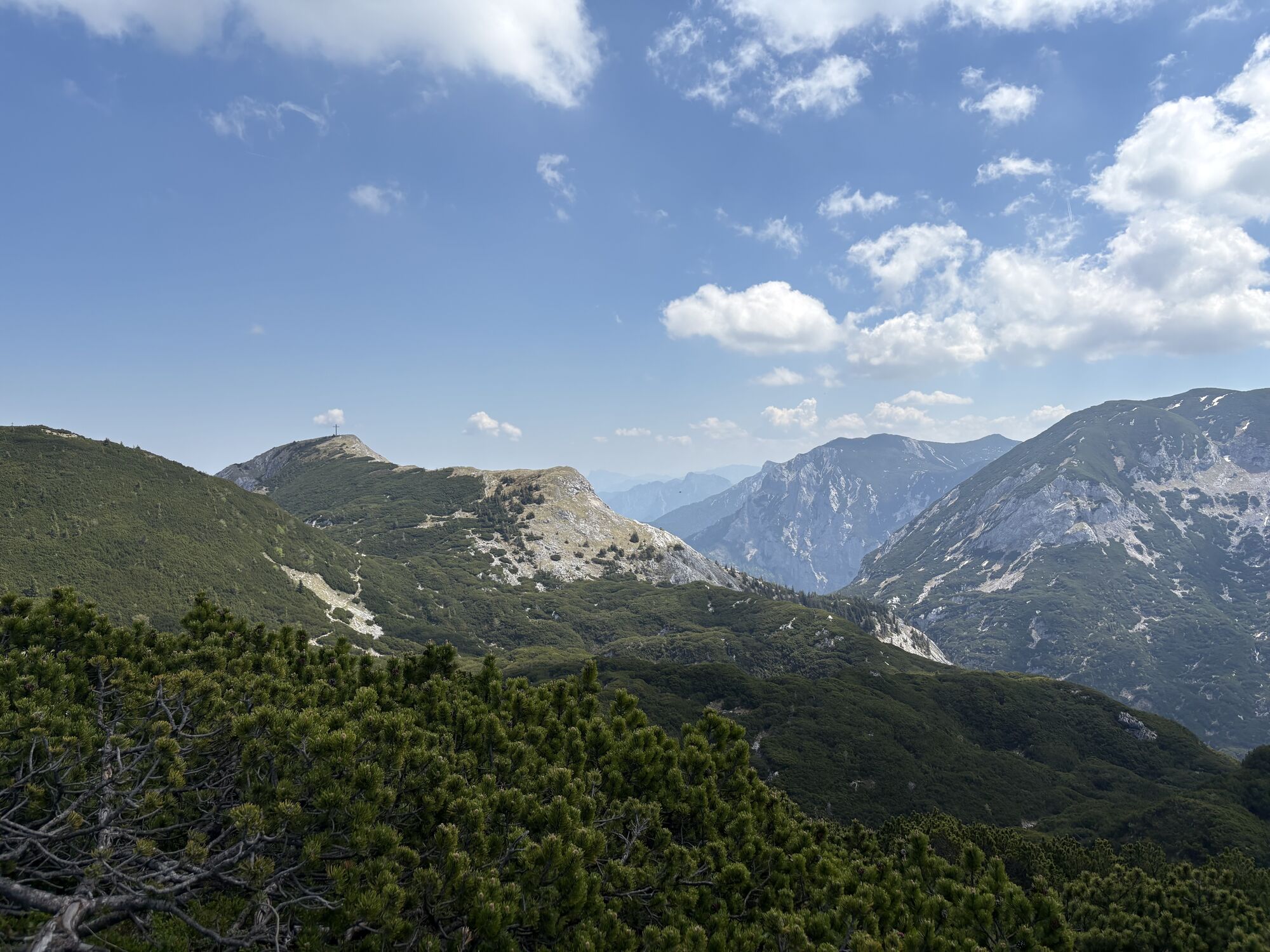
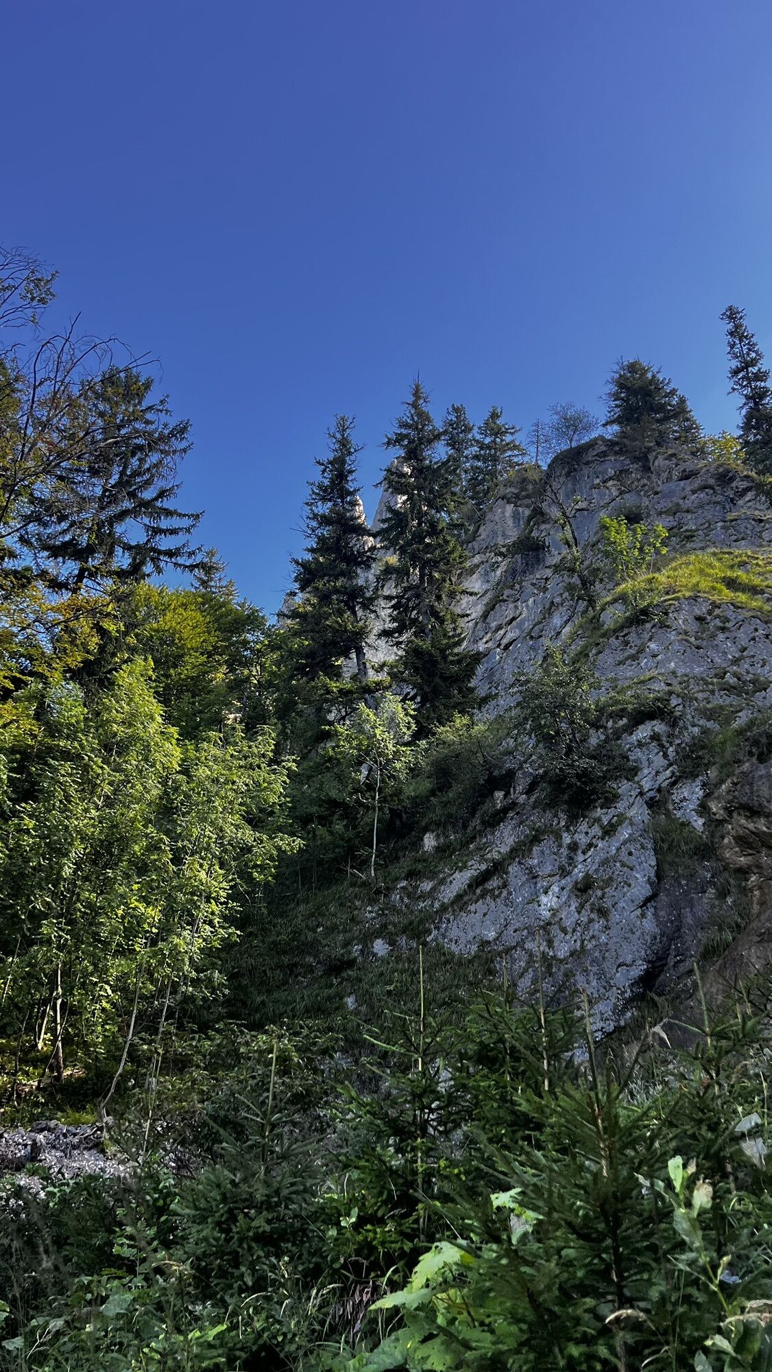
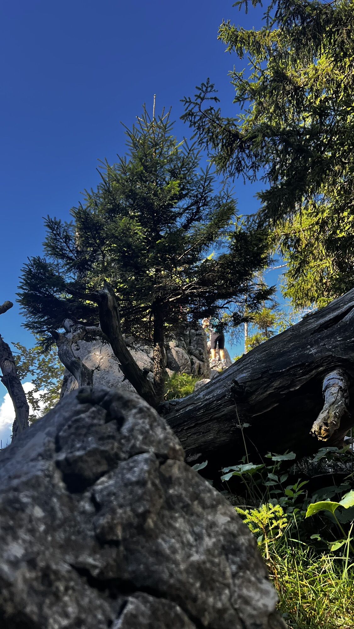
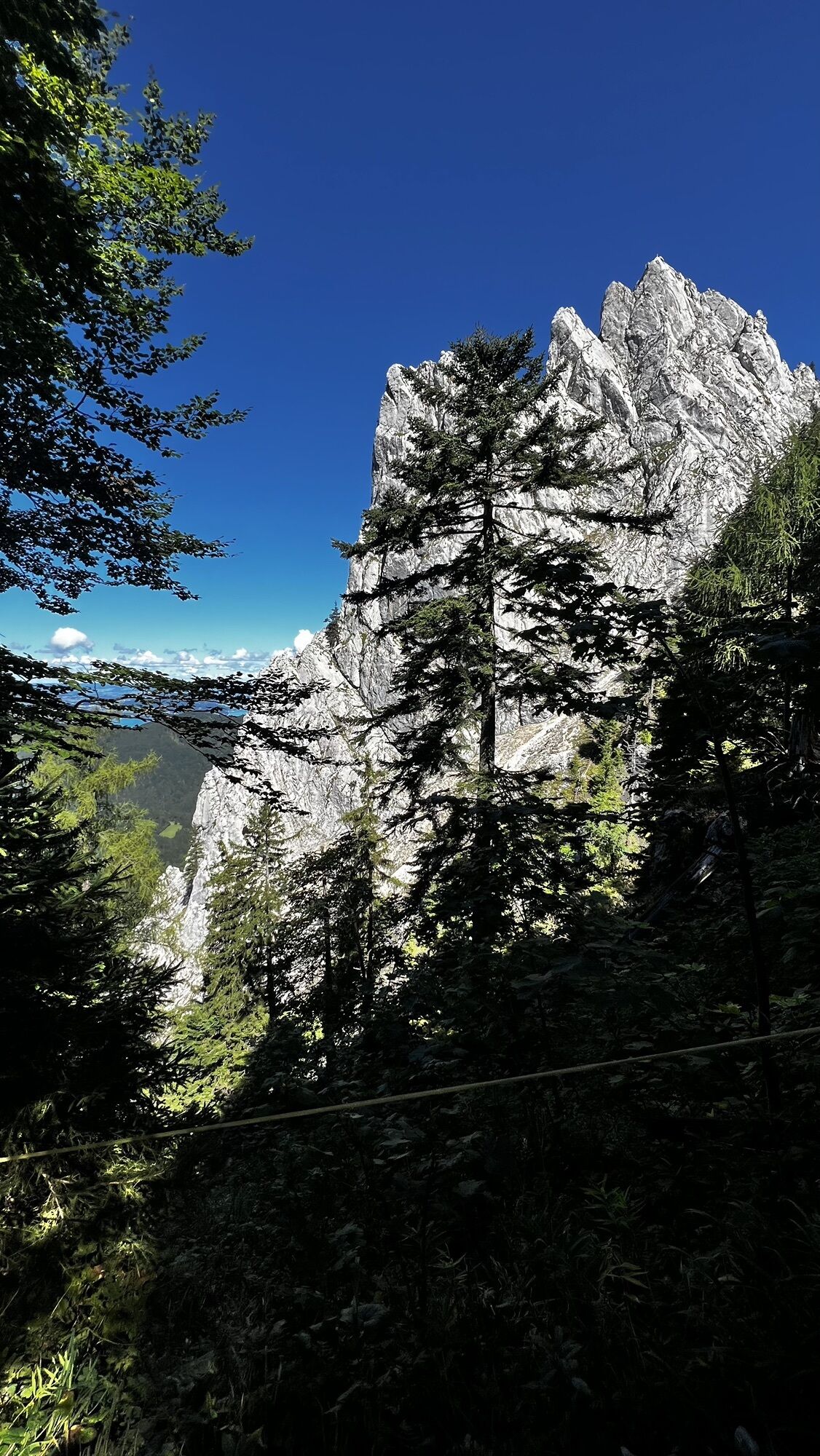
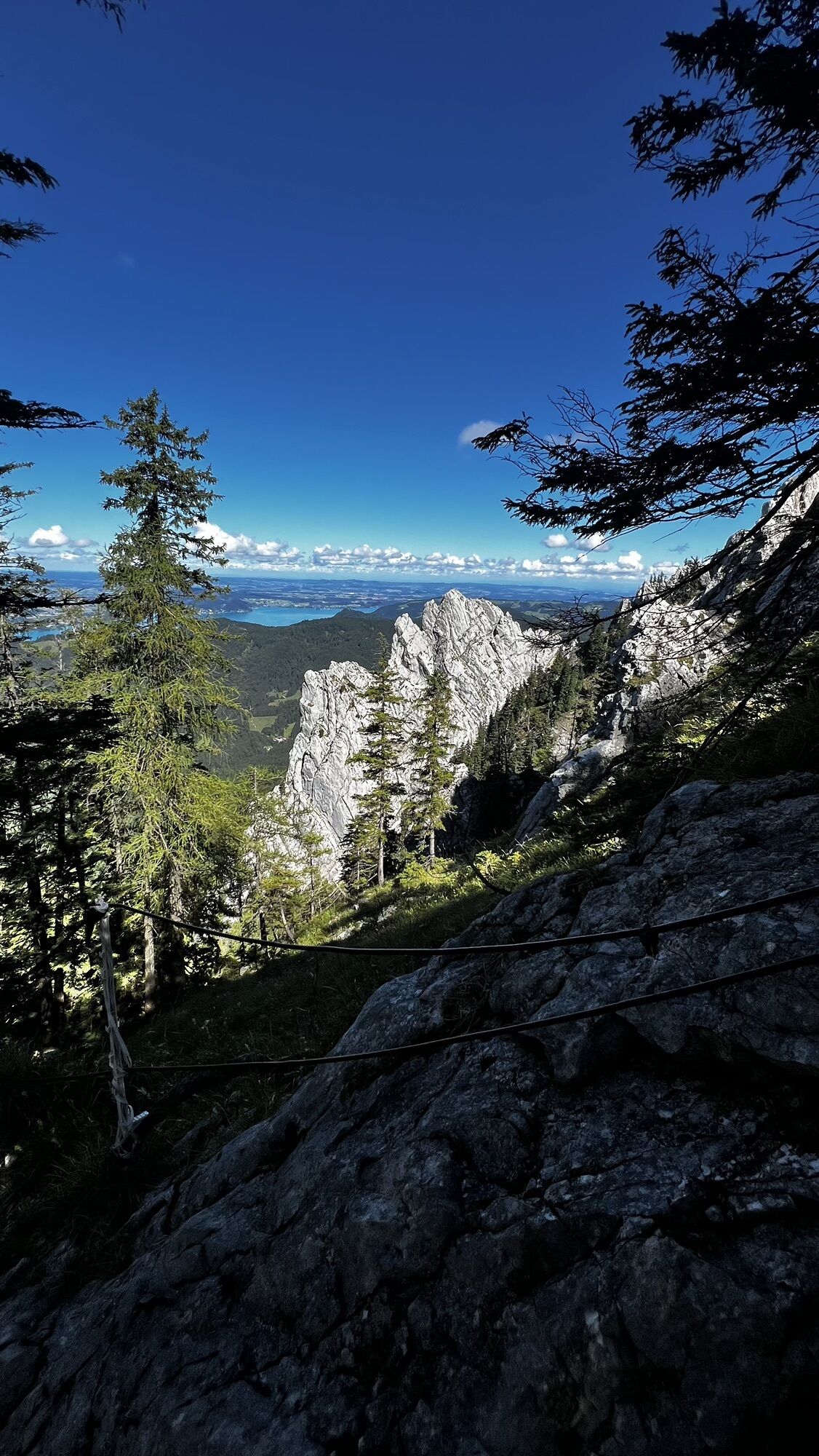
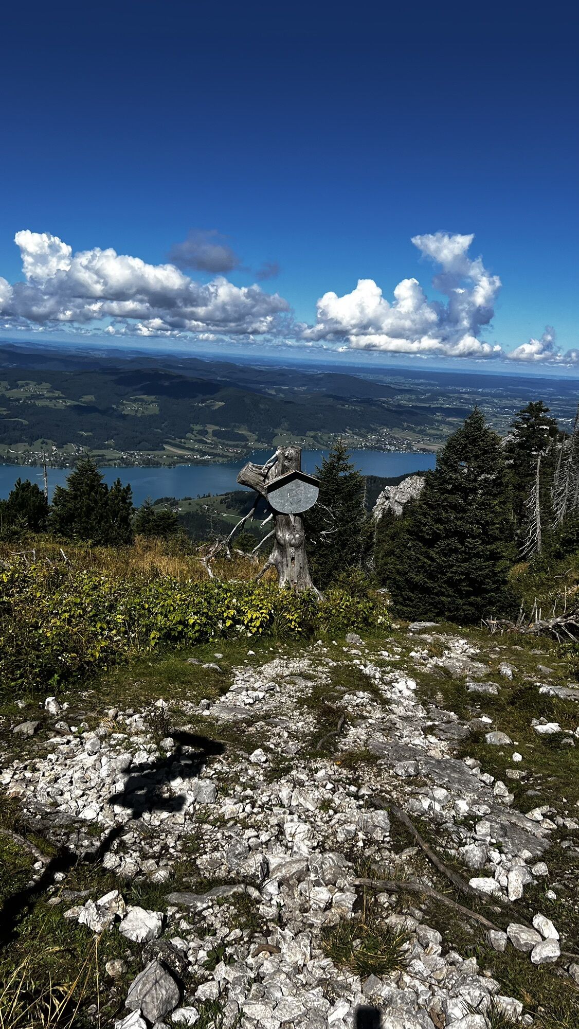
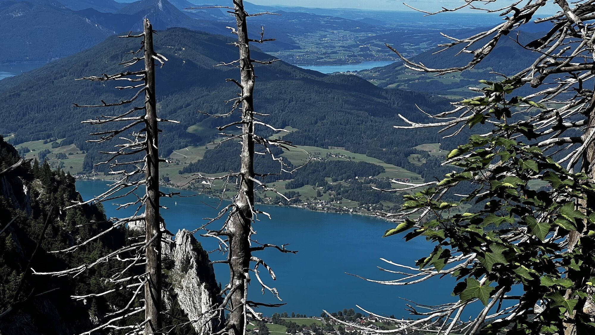
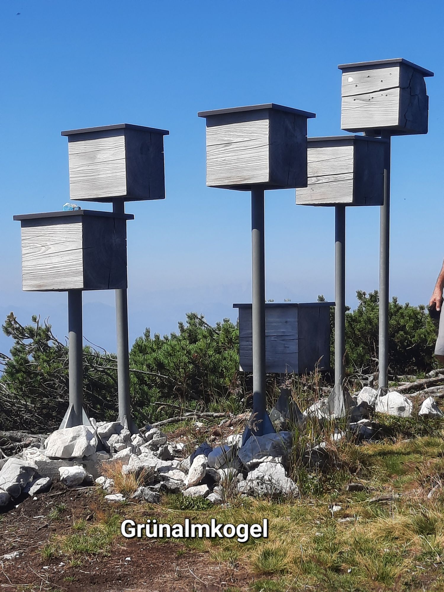
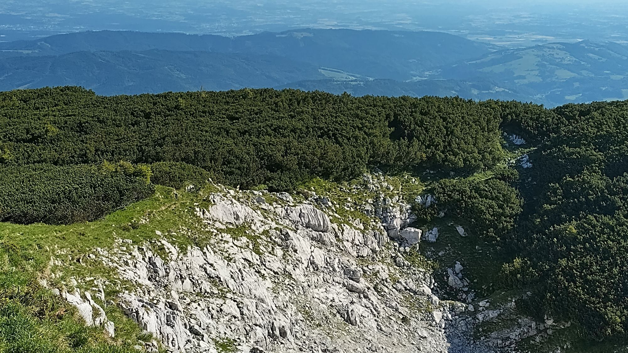
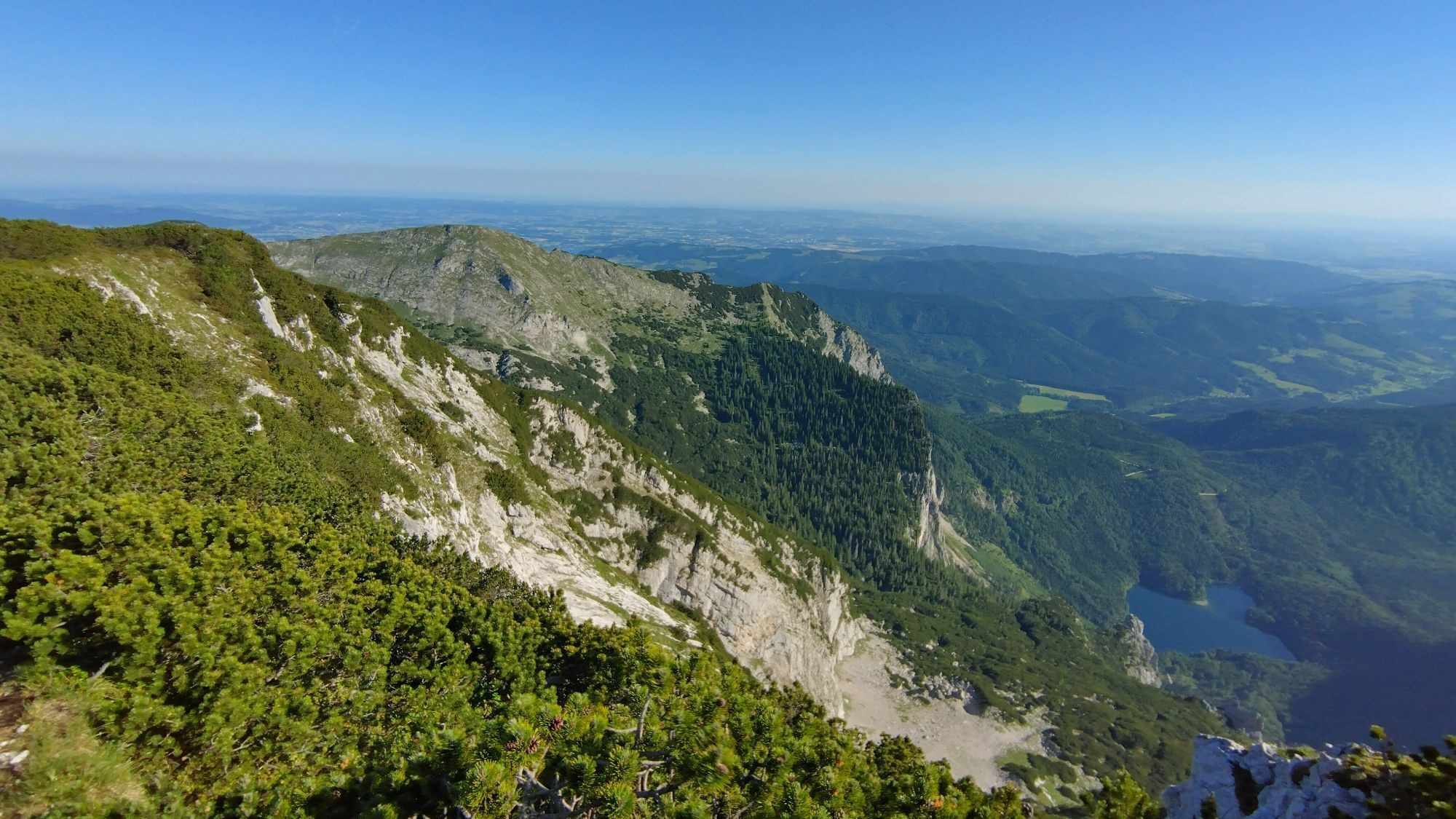
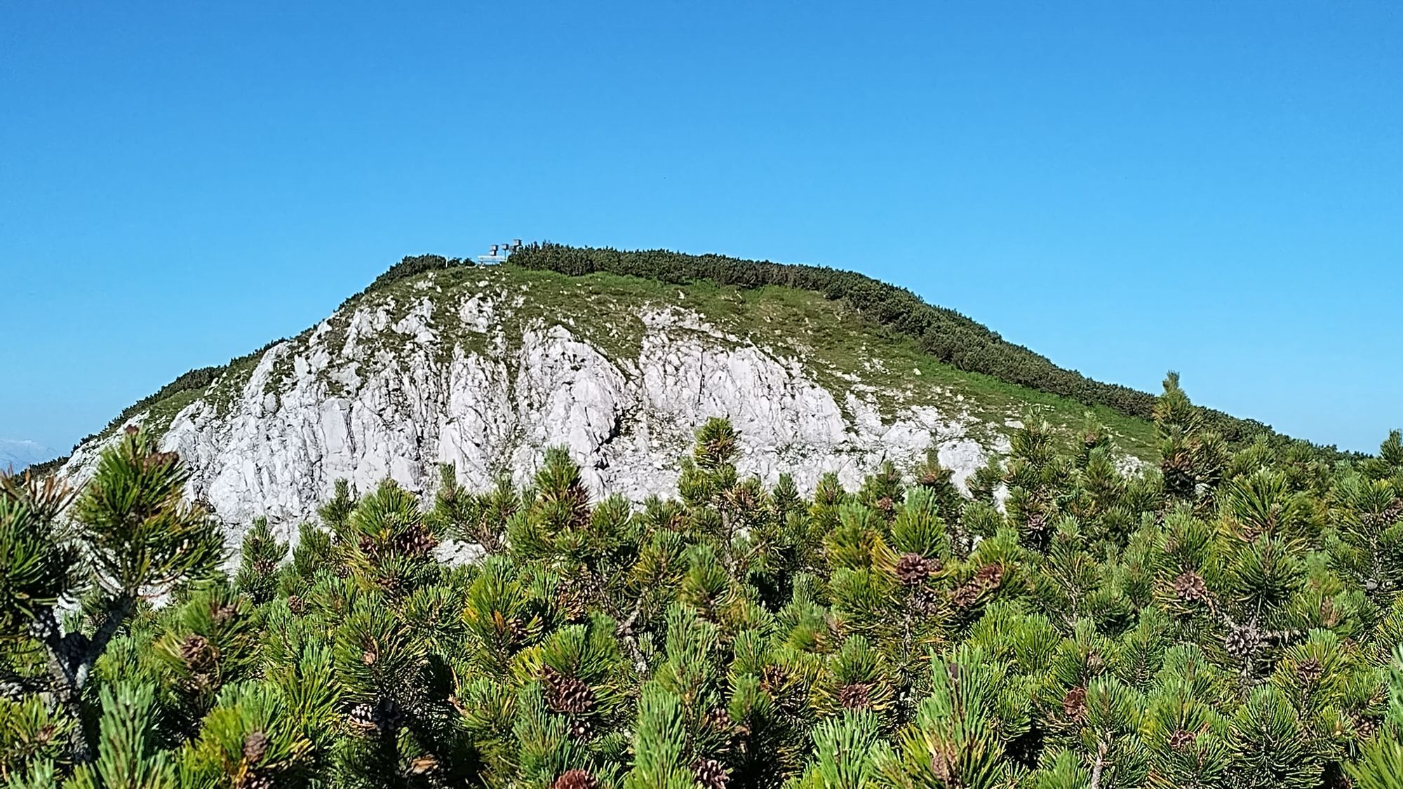
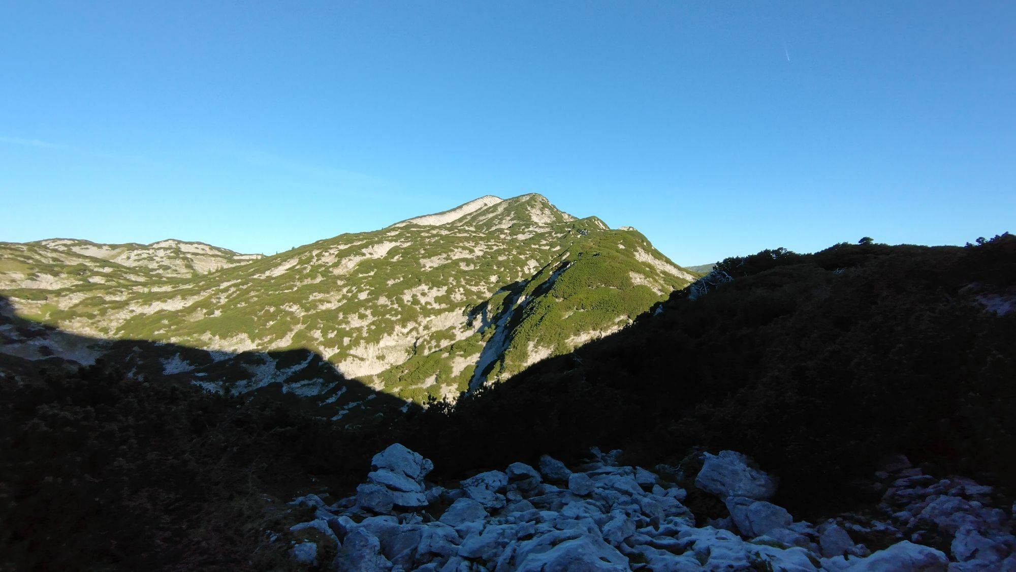
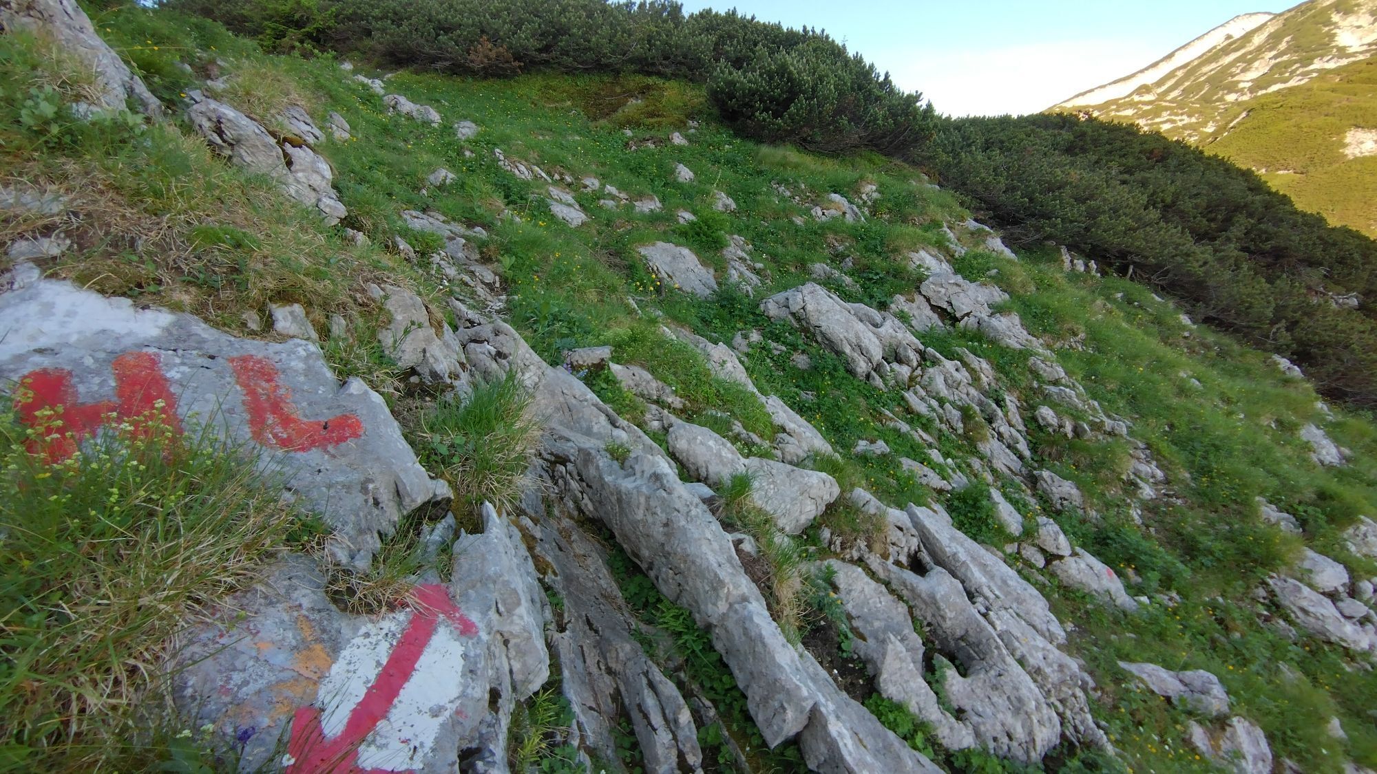
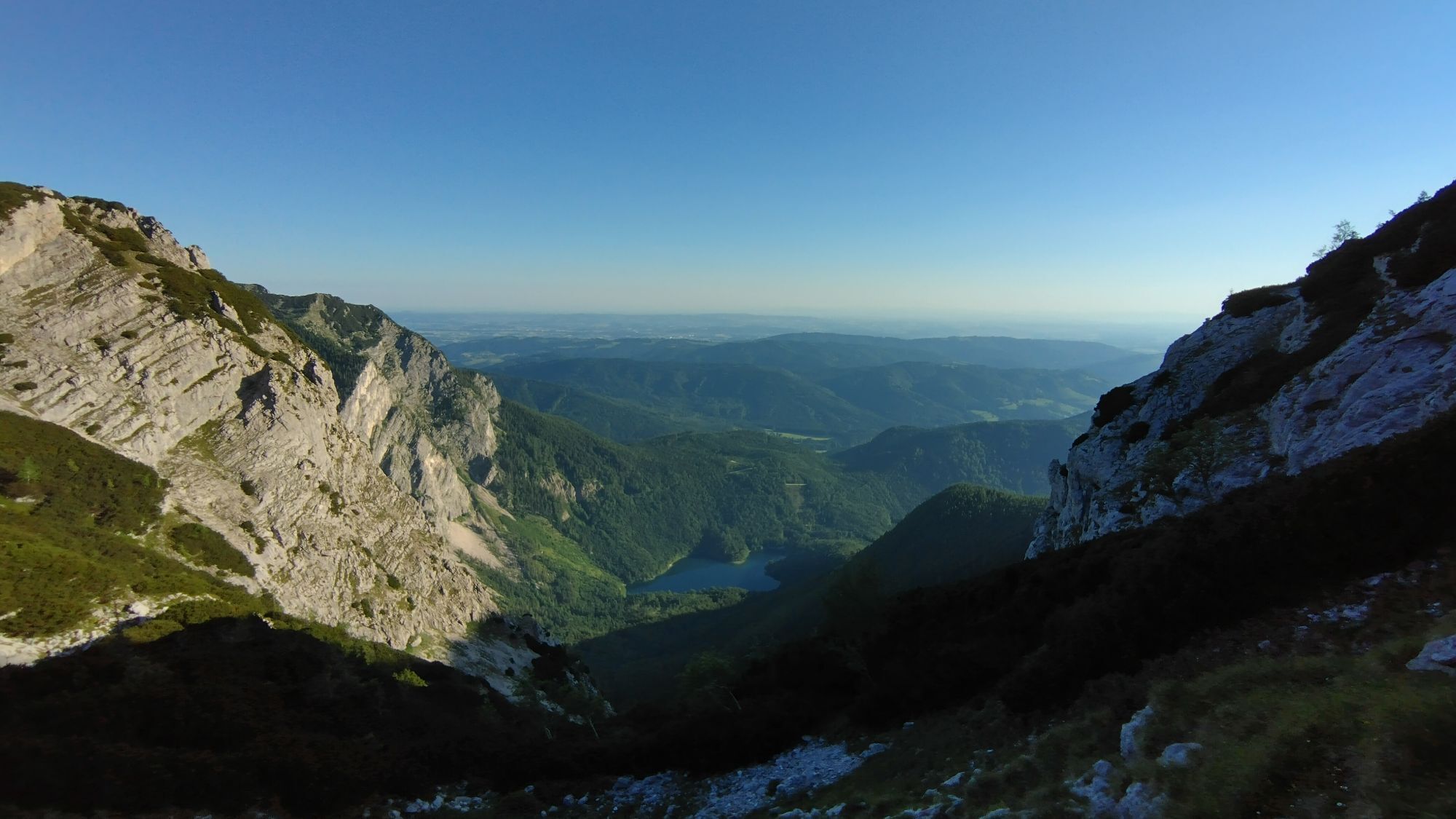
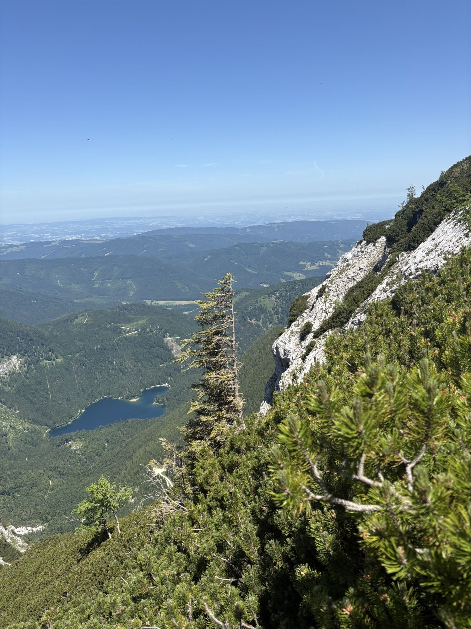
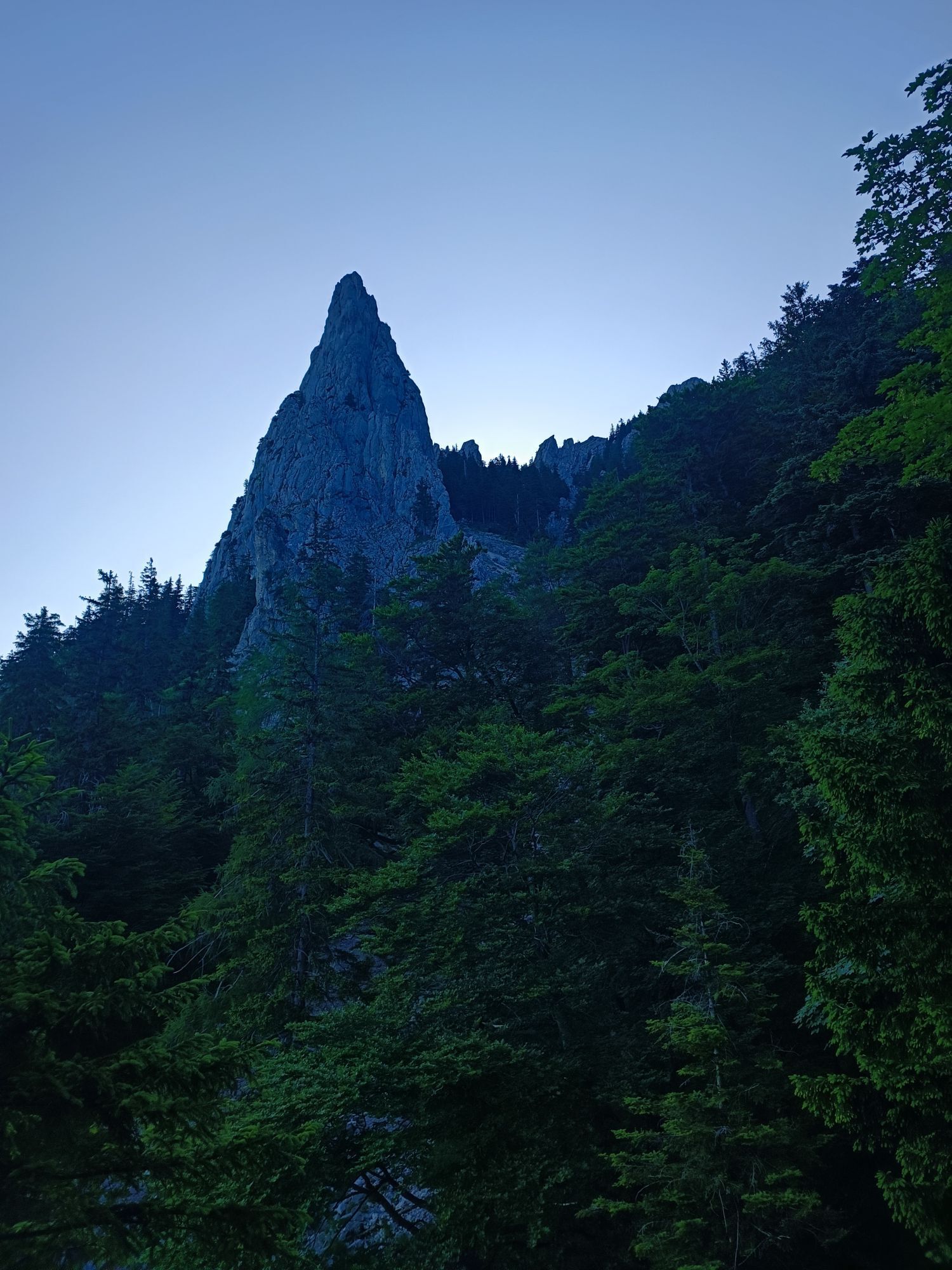
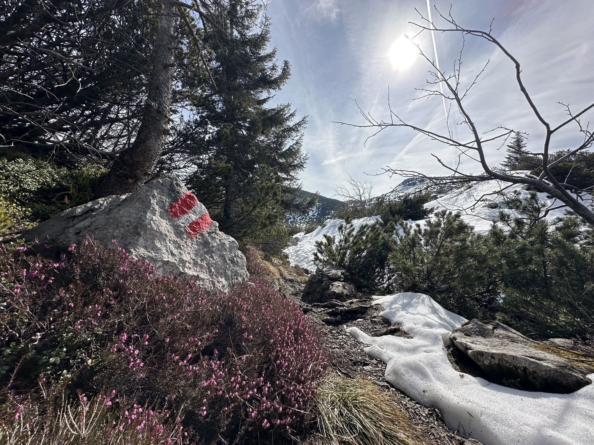
From the Rieder Hütte follow path no. 820 a few steps north, stay left at the junction to Eiblgupf and descend into the Große Eiblgrube. Its floor is bypassed to the south, then the descent path from Eiblgupf joins by a large rock block. Next, continue around the larch-covered north side of the Brunnkogel (1,779 m) (steel cable). Under the cliffs falling off to the right - below the path - of Hirschlucke lies the Hinterer Langbathsee. Before the next hollow (1,500 m) you pass a spring. Afterwards, ascend between larches and through small rock gorges, past rock falls and a large sinkhole up to the ridge of Grünalmkogel (1,821 m).
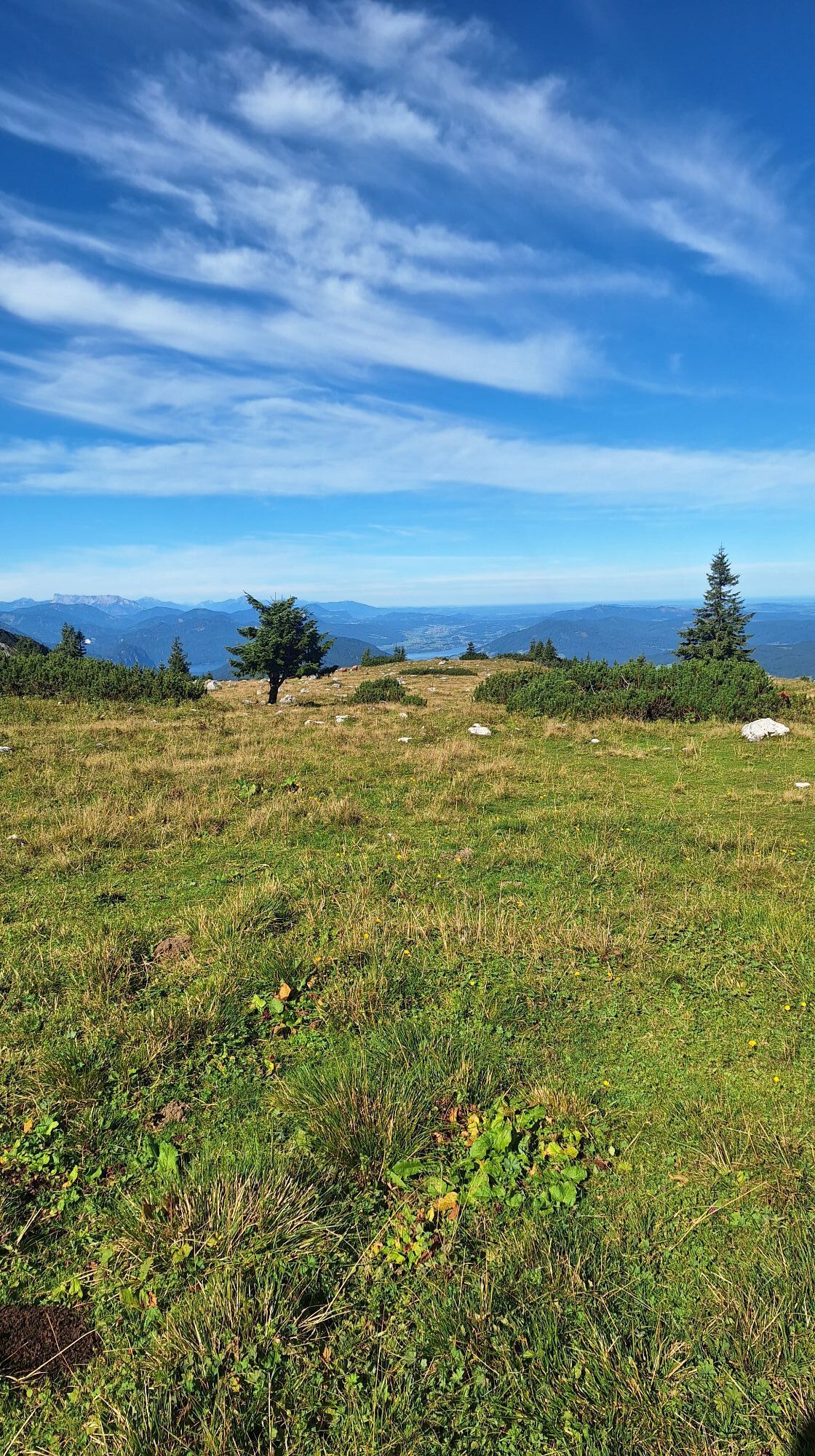
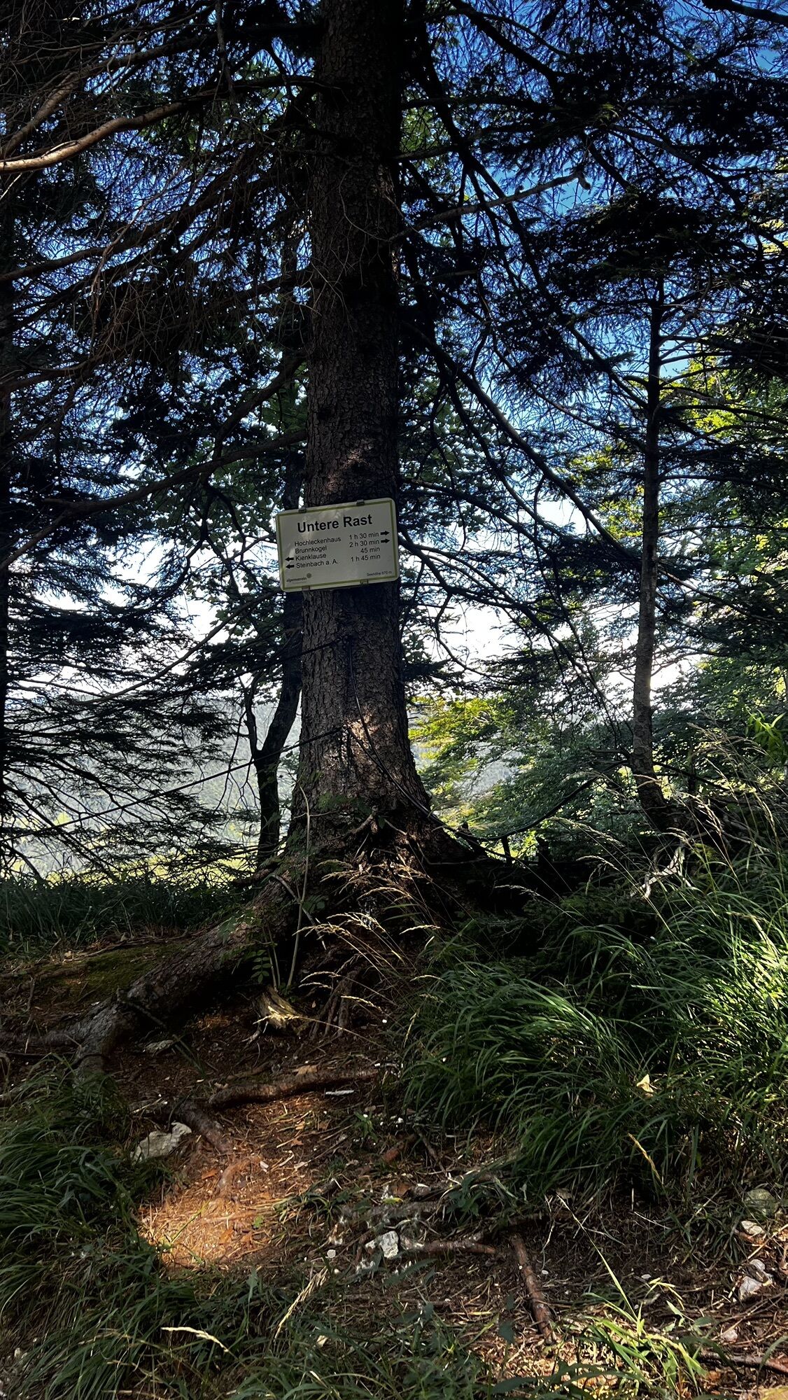
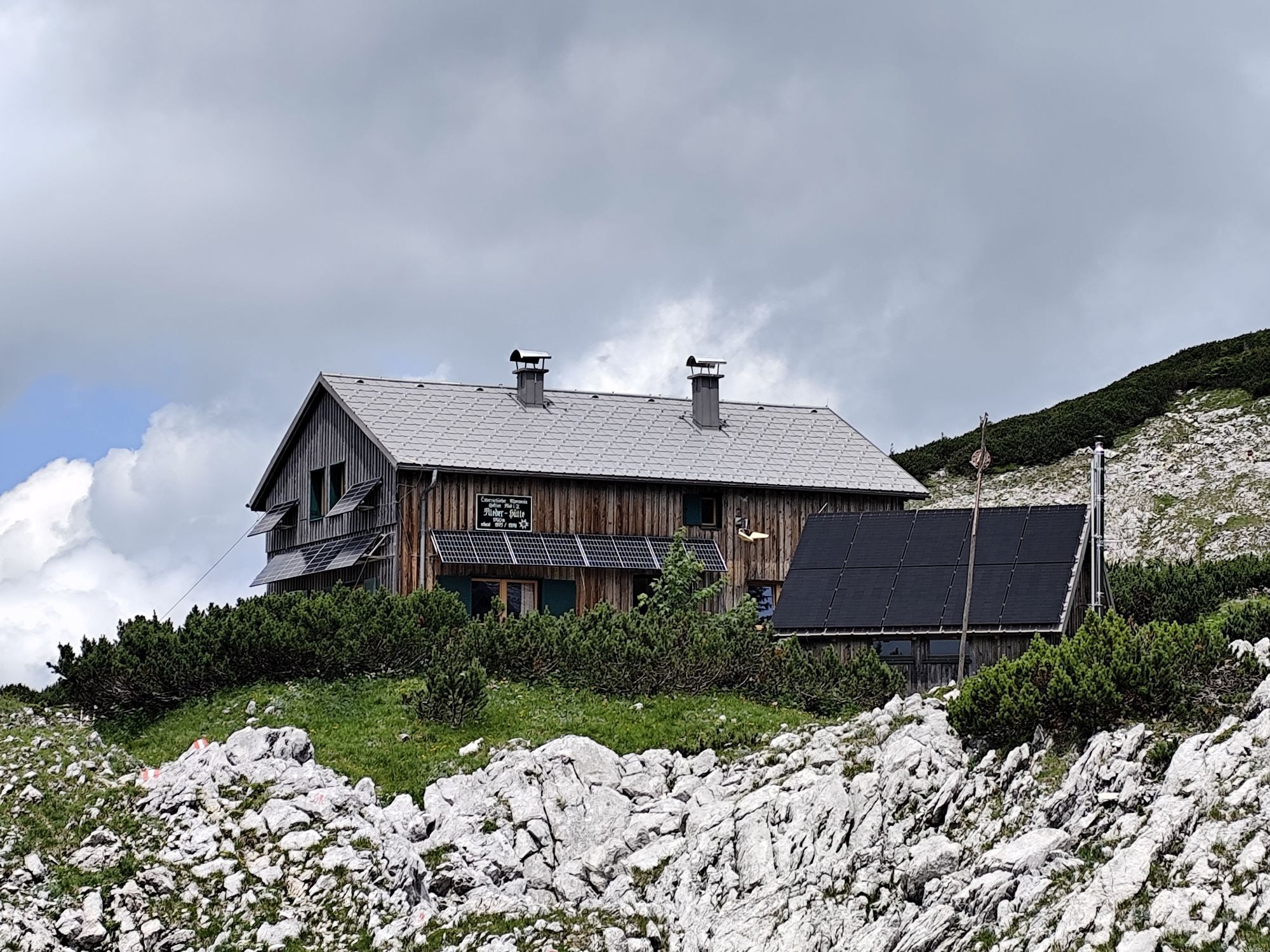
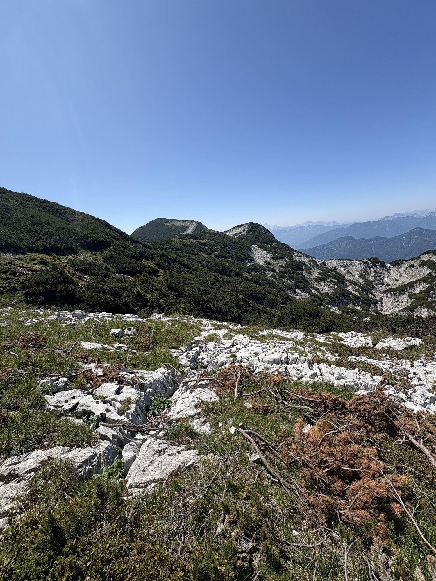
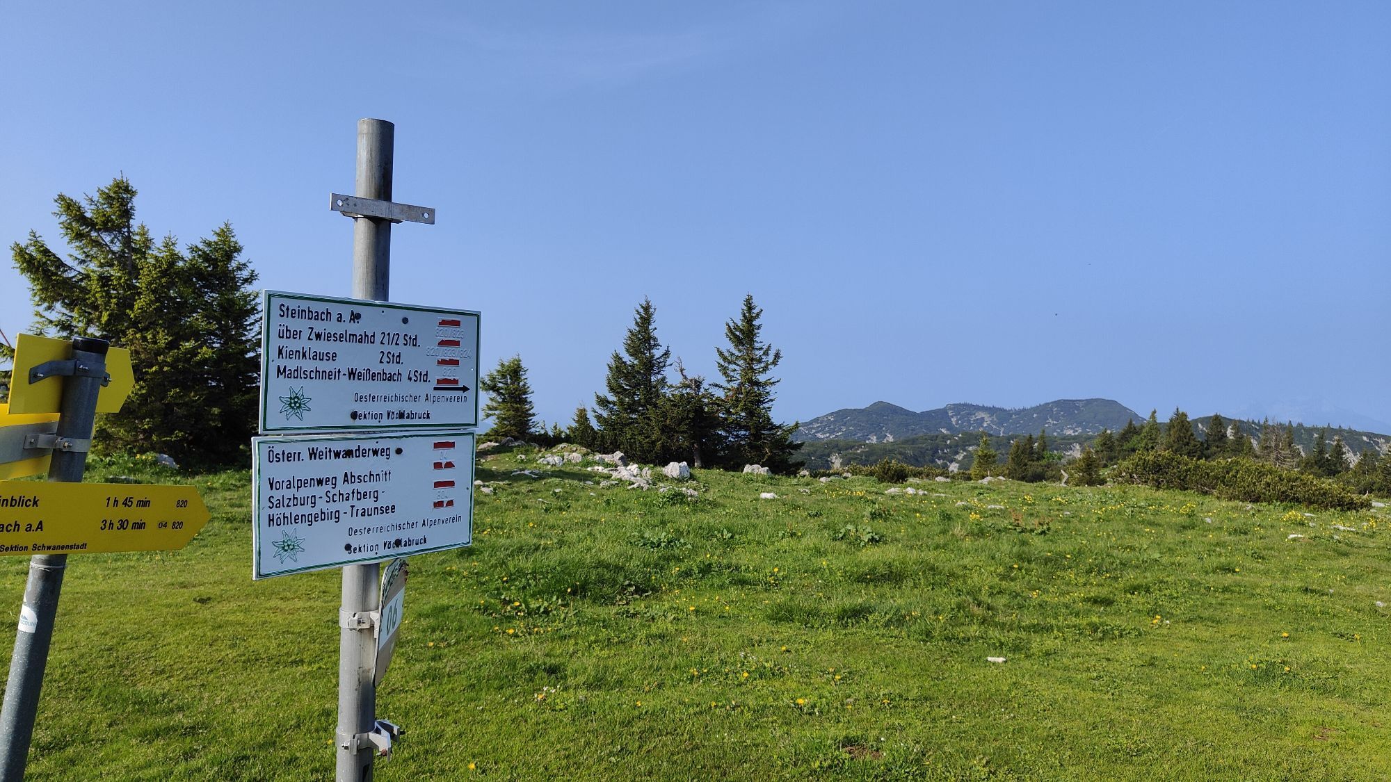
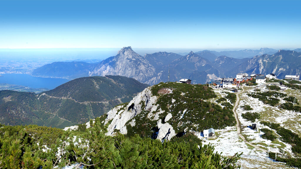
Its highest point is bypassed on the right. Continue along the southwest ridge to just before the Pfaffengrabenhöhe (1,691 m). From there, descend on the right through steep larch slopes (and over 337 meters of elevation) into the long Pfaffengraben. From this larch-covered valley dividing the central from the western part of the Höllengebirge, you have to ascend almost the same altitude again until you meet the Schafluckensteig beside the inconspicuous Jägerköpfl (1,668 m). To the left, you pass through another larch hollow to the Hochleckenhaus (1,572 m) about 4:30 h
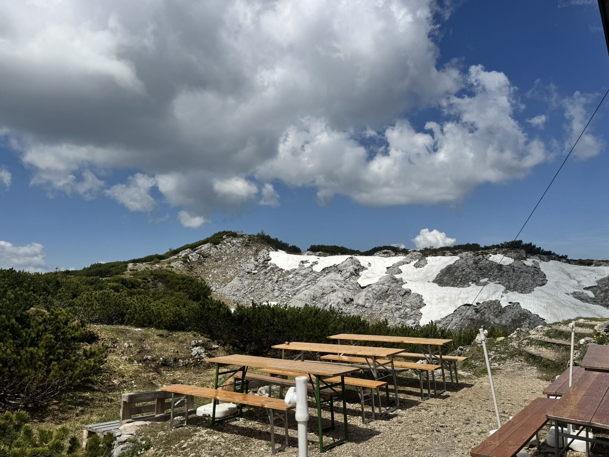
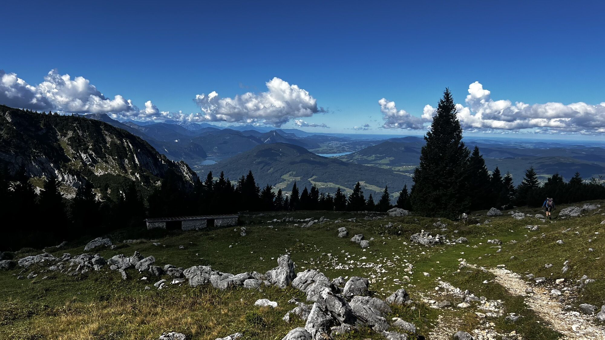
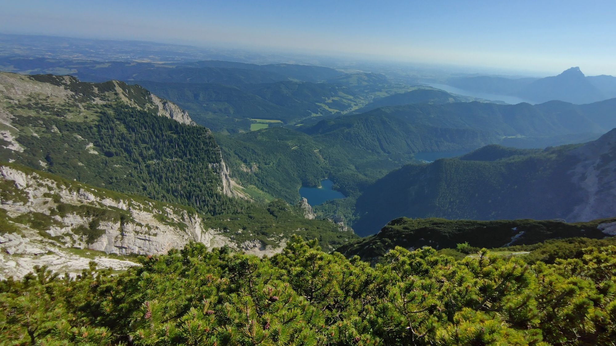
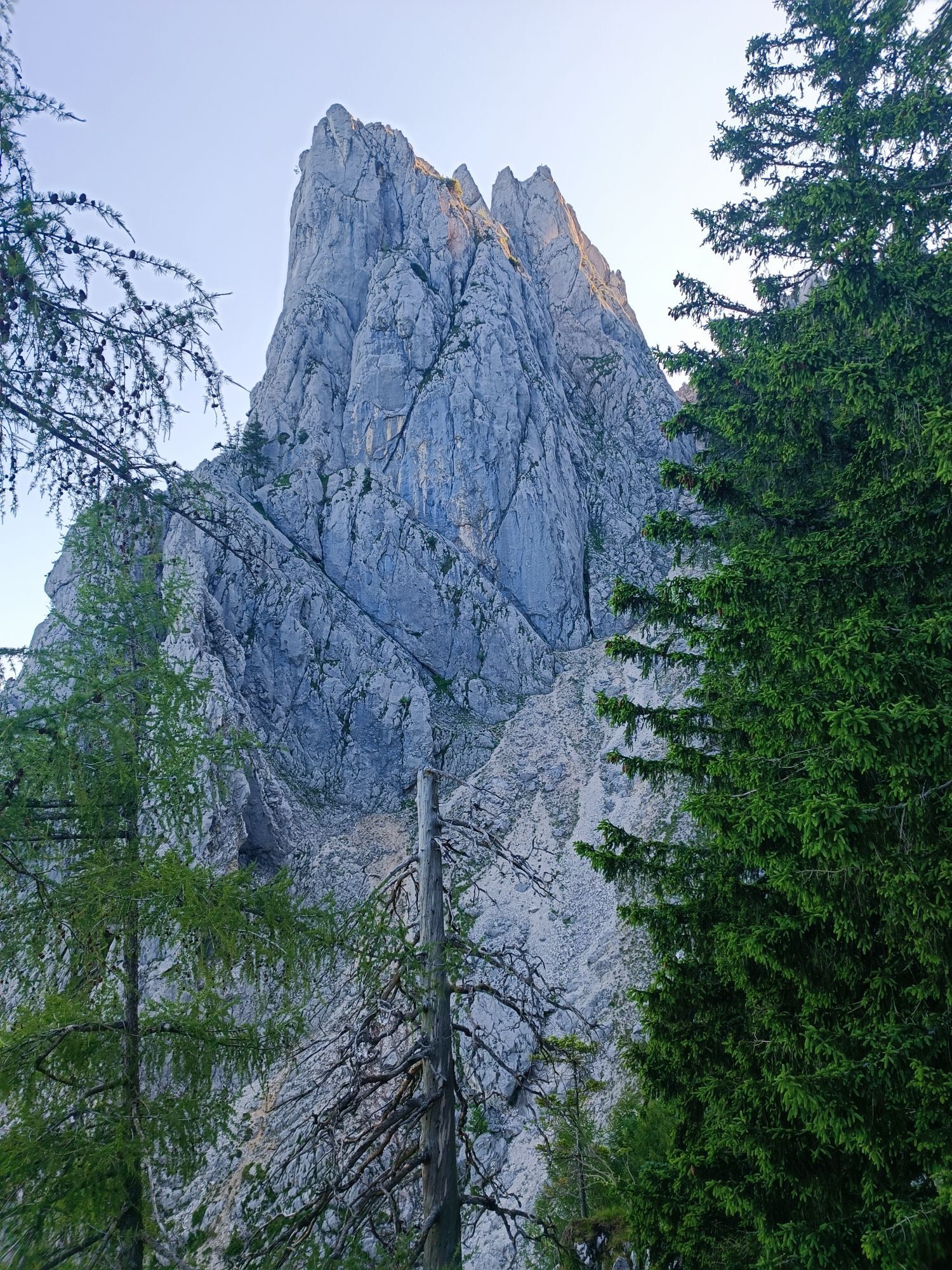
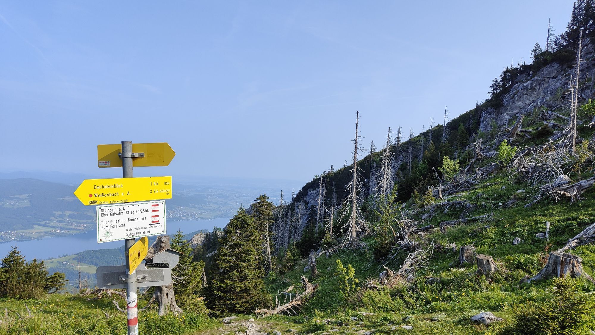
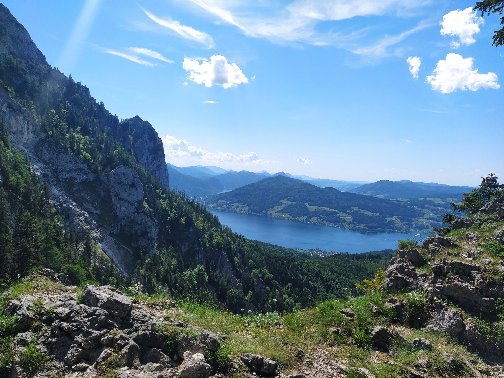
Continuing on path nos. 820/04/06, descend westwards from the shelter over the open slope of the Griesalm—water is collected here on the flat shed roof of the stable. At the nearby junction for the route to Brennerin, turn right onto path no. 823, which leads down to Antoniusbründl and the “Gatterl.” Left beside the rock towers of the Adlerspitzen (1,241 m) you reach the junction with the Valerieweg and thus stage 2 of the Salzkammergut Trail. On this route, turn left to Auboden-Jagdhütte and to Steinbach am Attersee (509 m). About 2:30 h
For all stages you need hiking or mountaineering boots with lug soles and wind- and rainproof clothing.
Spare clothes for changing and a small first aid kit should also be in the backpack. How much food you pack depends on the number of places to stop. In any case, you should take enough to drink. Telescopic poles are especially helpful when going downhill.
In alpine terrain, be aware of the danger of falling rocks.
Until early summer, you may encounter steep snowfields or firn gullies—especially in icy conditions there is acute danger of falling and thus risk to life!
Due to storm damage, forestry work, or construction, some trail sections may temporarily be difficult or impossible to pass.
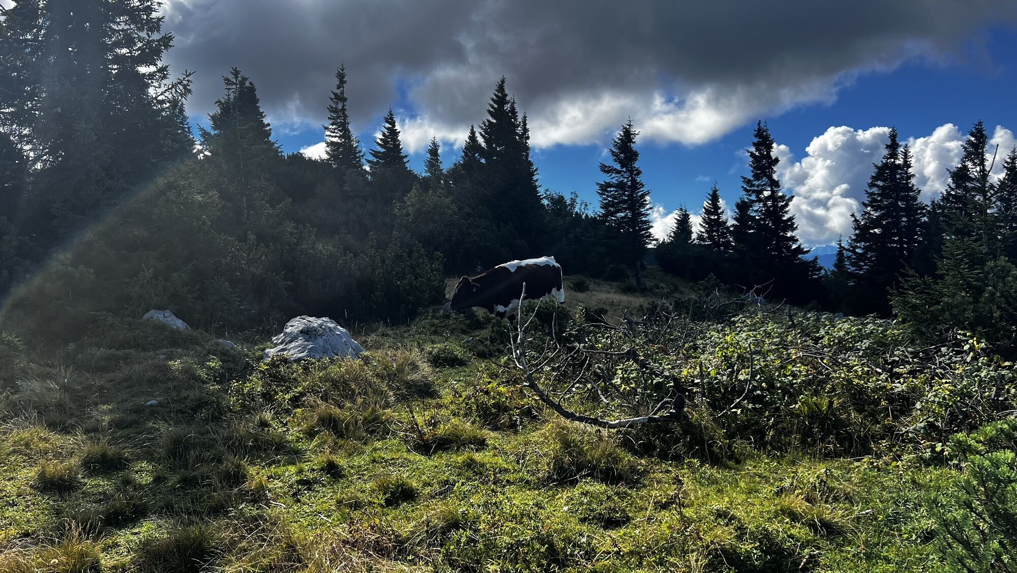
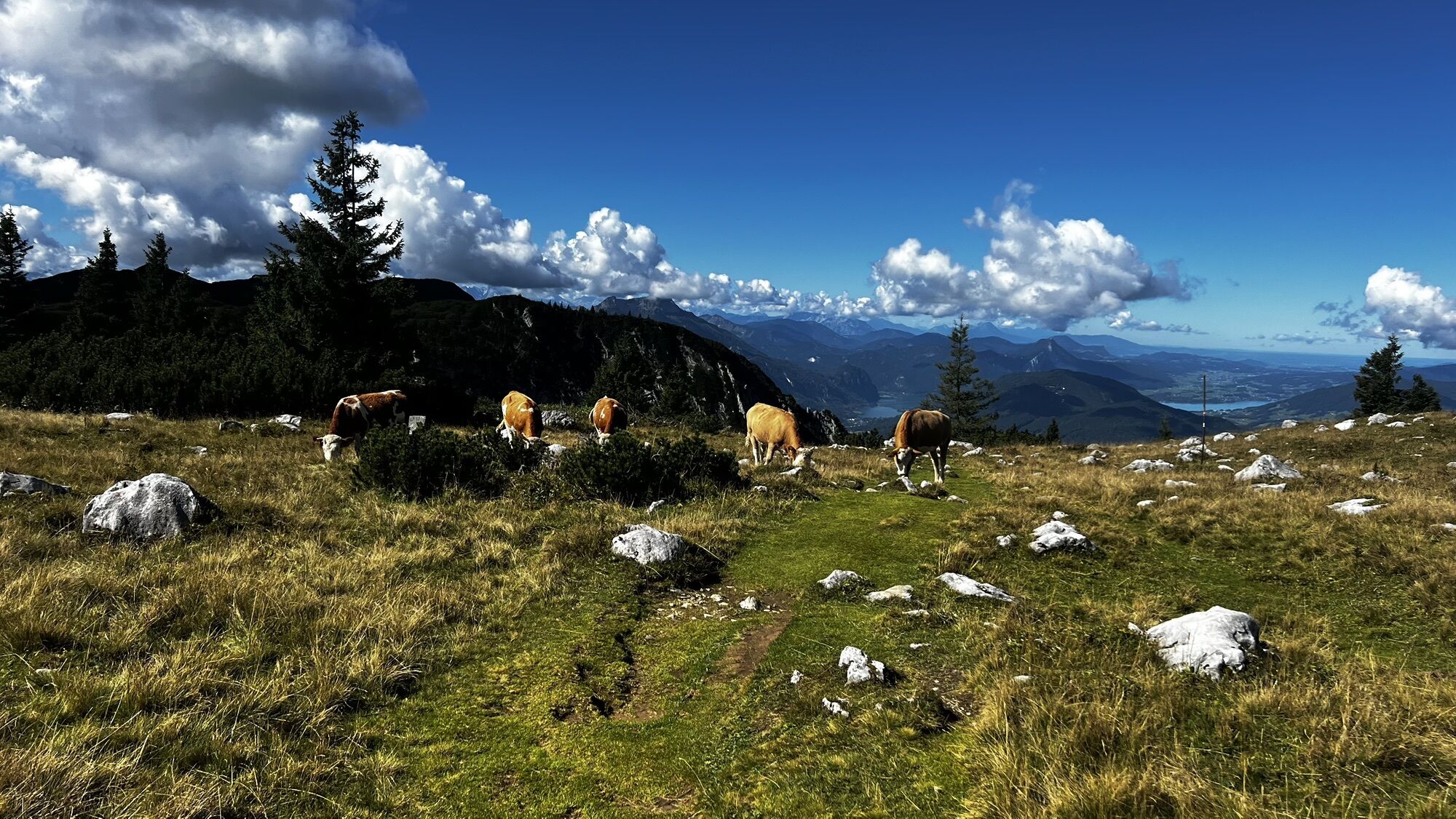
Cows on the alpine pastures are often curious. Due to cow-calf management, they develop a strong instinct to protect their calves. So move calmly on cow pastures, keep at least 20 m distance from the animals, and do not pet calves! If threatened (pawing, stamping), back away slowly (do not turn your back). Keep dogs on a leash; they must not bark at or chase cows. In an attack, you must definitely let them off the leash.
Courtesy of the text provided by the KOMPASS publishing house and Wolfgang Heitzmann.
More information at trail.salzkammergut.at
Summit detour to Brunnkogel (1,708 m)

Popularne wycieczki w okolicy
- 4,4
Weißenbach am Attersee - Schoberstein
średniWędrówka 3,31 km - 4,3
Feuerkogel / Ebensee
średniWędrówka 11,8 km - 4,6
Ebensee: Großer Höllkogel
średniWędrówka 10,1 km - 3,6
Unterach am Attersee: Hochplettspitz
Wędrówka 4,25 km - 4,4
Kienesberg - Födinger Alm
światłoWędrówka 4,37 km - 4,4
Rund um den Wachtberg
światłoWędrówka 8,63 km - 4,0
Hochsteinalm / Traunkirchen
światłoWędrówka 4,10 km - 4,8
Eisenaualm
średniMountainbike 37 km - 4,8
Geisswand und Baalstein, Traunkirchen, Oberösterreich/Österreich
światłoWycieczki górskie 5,02 km - 4,8
Helmeskogel / Alberfeldkogel
światłoWędrówka 8,16 km
Wędrówki i tropienie


Nie przegap ofert i inspiracji na następne wakacje
Twój adres e-mail została dodana do listy mailingowej.