






Adventure walking path along the Gaflenz
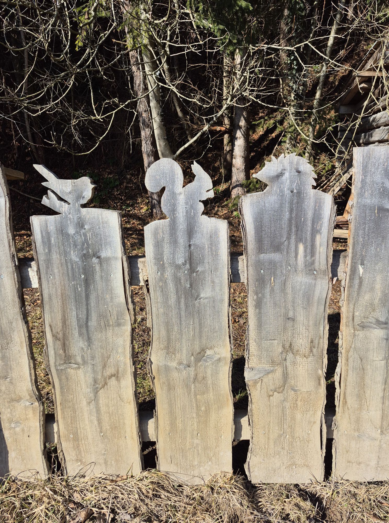
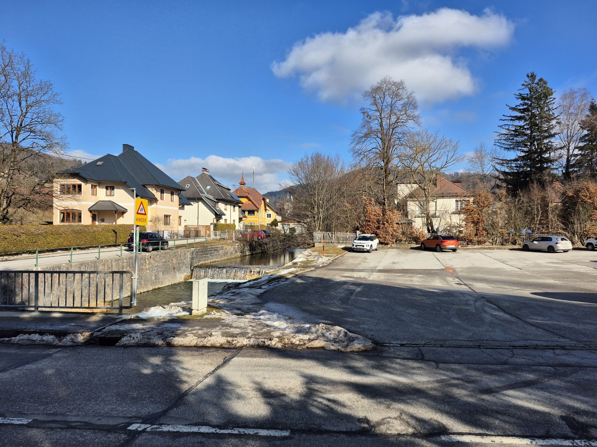
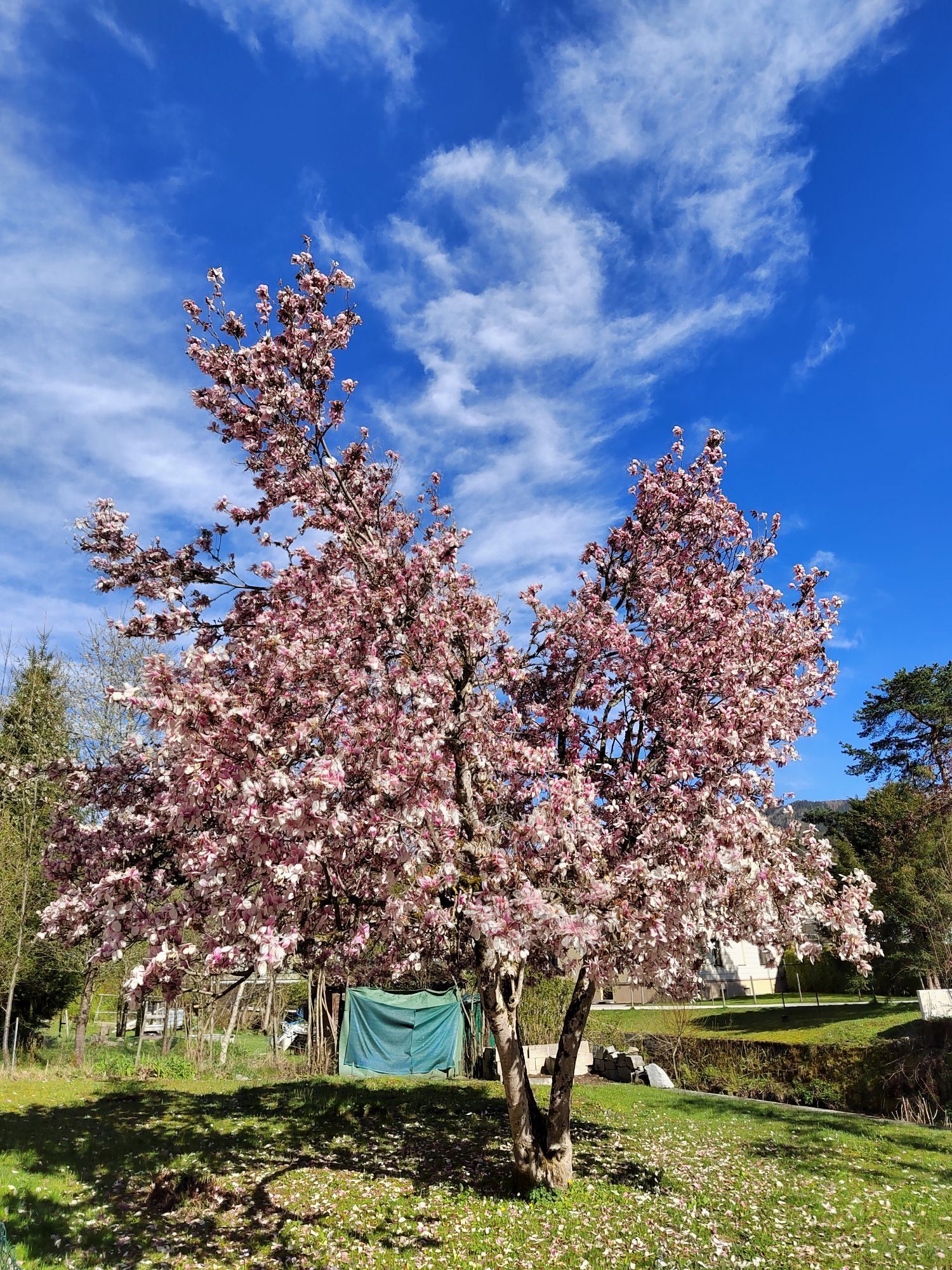
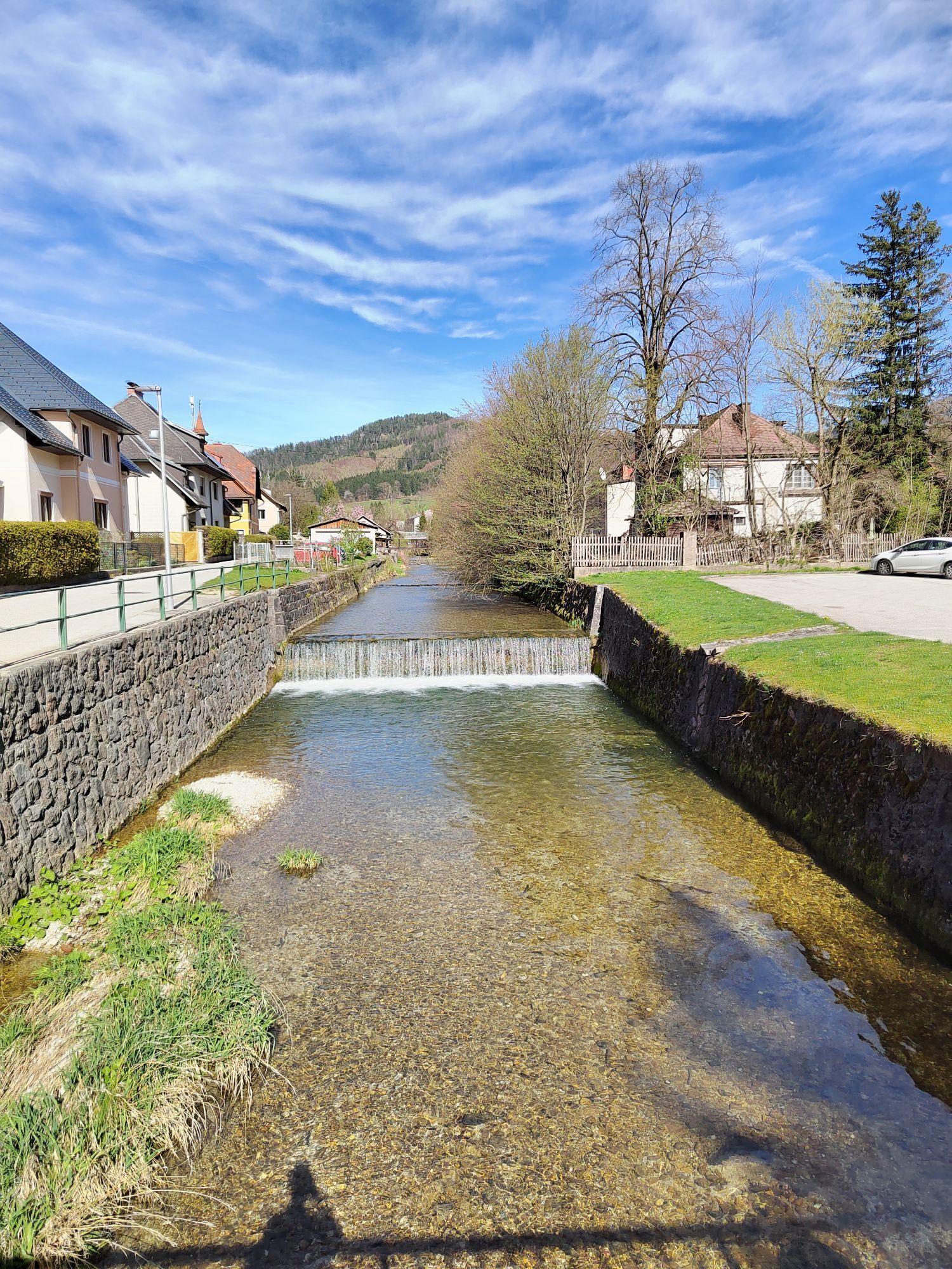
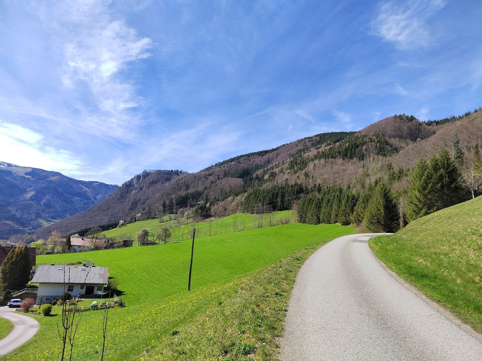
From the Weyer outdoor swimming pool, this walking path leads along the promenade along the Gaflenz to Kastenreith and at the inn Zur Taverne on an idyllic path under the bridge back to Katzensteinermühle.
Hiking...
From the Weyer outdoor swimming pool, this walking path leads along the promenade along the Gaflenz to Kastenreith and at the inn Zur Taverne on an idyllic path under the bridge back to Katzensteinermühle.
Hiking route: Promenade Weyer

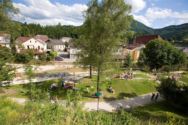
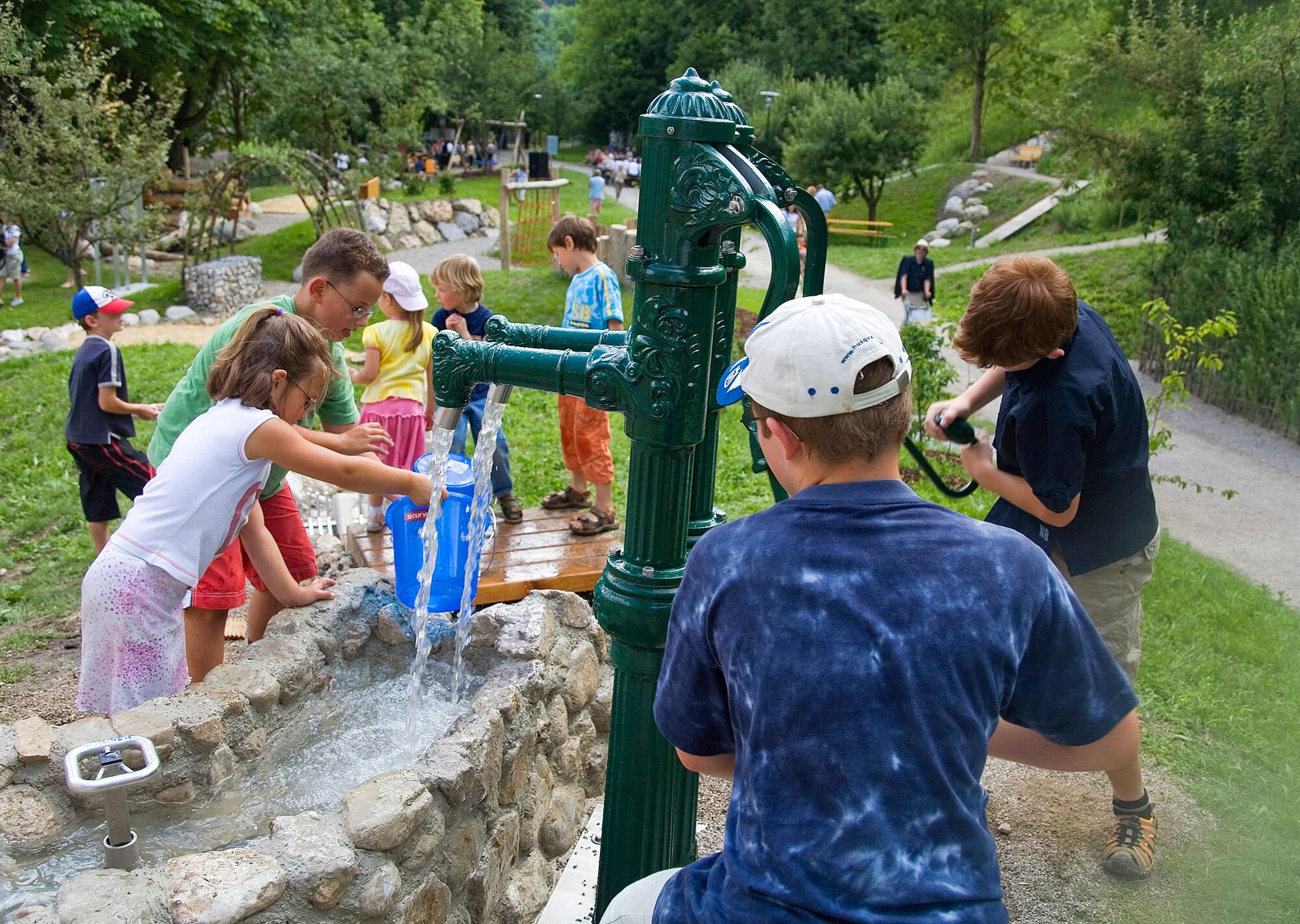
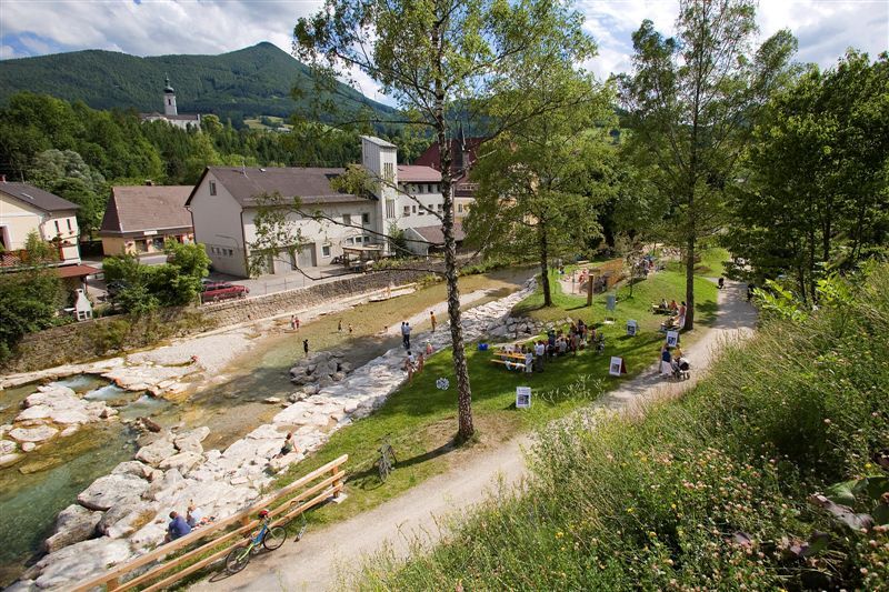
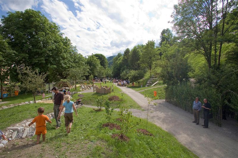
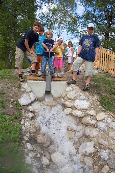
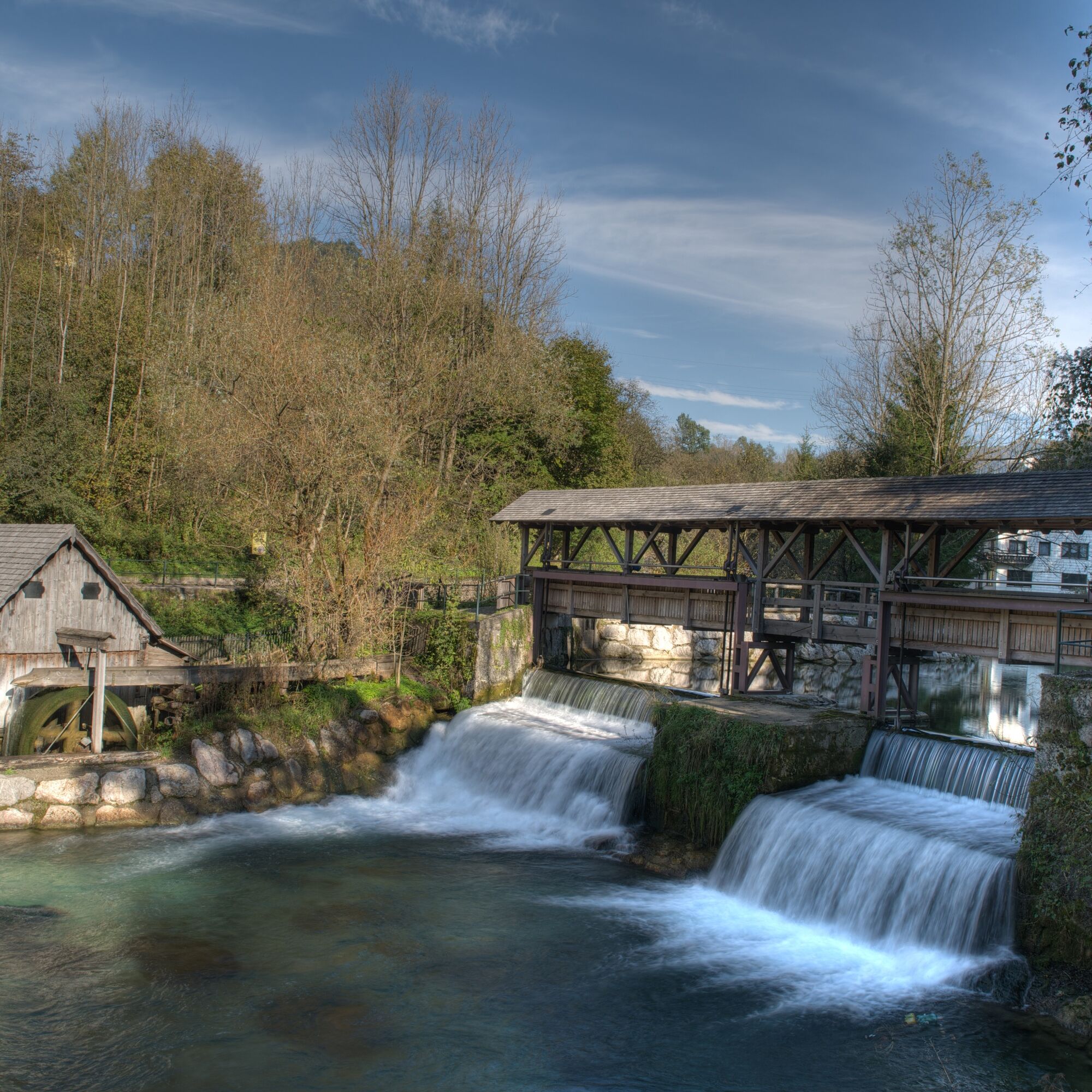


At the Weyer outdoor swimming pool, cross the Gaflenzbach and walk towards the center of Weyer – Weyer station and Kreuzberg to the right and Weyer marketplace to the left. You will reach the Schmiedbergerwehr, a playground themed on water, and then Katzensteinermühle. At the confluence of the Gaflenzbach into the Enns, walk towards the inn Zur Taverne and shortly before you have the opportunity for a short detour to the Enns. Directly at the inn Zur Taverne, a path leads uphill and on the other side you return to the already familiar path at Katzensteinermühle.
Tak
Tak
Tak
Von Wien: A1 Autobahnausfahrt Haag > B42 > B122 > B115 ins Ennstal
Von Passau: A8 Passau > Wels > A1 bis Autobahnausfahrt Enns-Steyr > B115 ins Ennstal
Von Graz: A9 Pyhrnautobahn > Autobahnausfahrt Klaus > Grünburg > ins Ennstal
Details at www.ooevv.at
Railway Stations are located in Steyr, Garsten, Lahrndorf, Dürnbach, Ternberg, Trattenbach, Losenstein, Reichraming, Großraming, Gaflenz, Weyer, Küpfern, Kastenreith, Kleinreifling and Weißenbach-St. Gallen.
Weyer/parking lots at the outdoor swimming pool, at Kreuzberg, at the Balgsetzerhaus, at the inn Zur Taverne
Plan enough time with your children for play and adventure breaks:
Weyer outdoor swimming pool including the playground by the Gaflenzbach Detour to the Kreuzberg nature reserve with the dwarf forest (not suitable for strollers) Schmiedbergerwehr KatzensteinermühleClimate-friendly to the National Park Region – Weyer station and Kastenreith station: By train, you can reach the starting point of this hike in about 2 hours from Linz and about 2.5 hours from Vienna. This walk can be wonderfully combined with a round trip by train. Travel from Amstetten via Waidhofen an der Ybbs to Weyer, walk to Kastenreith, return trip via the Enns valley to St. Valentin, Linz or Vienna.
Popularne wycieczki w okolicy
- 4,9
Ennser Hut - Almkogel (from Bamacher car park)
średniWędrówka 3,53 km - 4,8
Steinerner Jäger (1185m) und Schieferstein (1206m) ab Parkplatz Hochhabichler
średniWędrówka 4,46 km - 4,7
GROSSRAMING Bamacher, Burgspitz, Almkogel, Ennshütte 20240730
średniWędrówka 10 km - 4,3
Freithofberg
średniWędrówka 9,15 km - 4,6
Opponitz Gorge Hiking Trail
średniWędrówka 4,42 km - 4,4
Kleine Gipfelrunde Glasenberg
światłoWędrówka 4,99 km - 3,8
Lindaumauer (1103 m)
Wędrówka 3,40 km - 4,8
R9 Hintergebirgsradweg
średniJazda na rowerze 29,1 km - 4,5
Lindaumauer, Maria Neustift
średniWędrówka 5,53 km - 4,6
Gamsstein (1275m) und Gschwendtalm ab Parkplatz Brunnbach
średniWędrówka 7,37 km
Wędrówki i tropienie


Nie przegap ofert i inspiracji na następne wakacje
Twój adres e-mail została dodana do listy mailingowej.





