


Kremstal cycle path R10


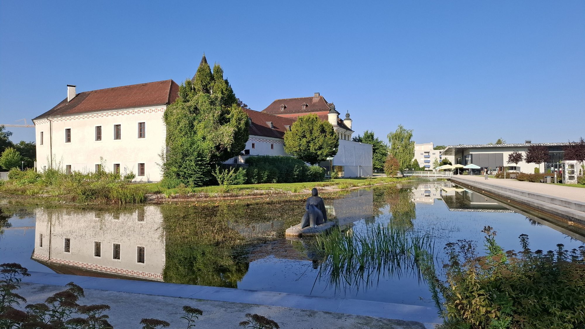

The Kremstal cycle path R 10 – "The Legendary Cycle Route" starts or ends in Klaus at the Pyhrn railway or Traun – depending on your starting point – and is 63 kilometers long.

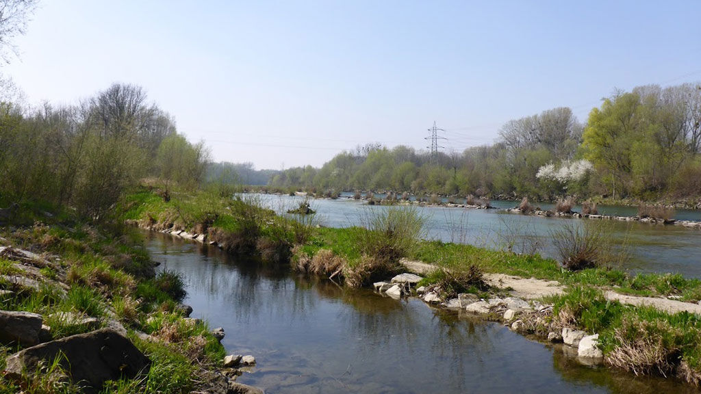
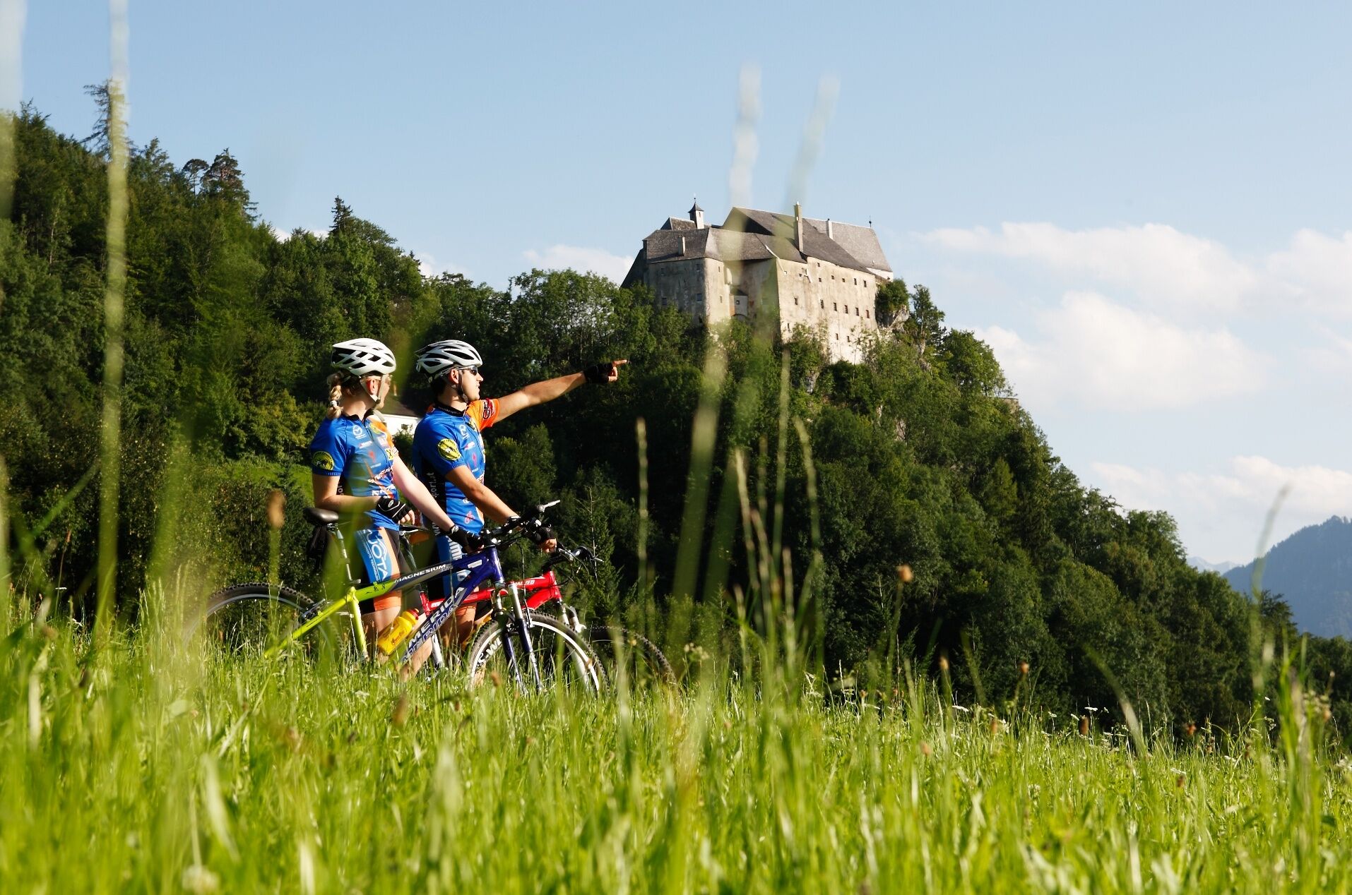
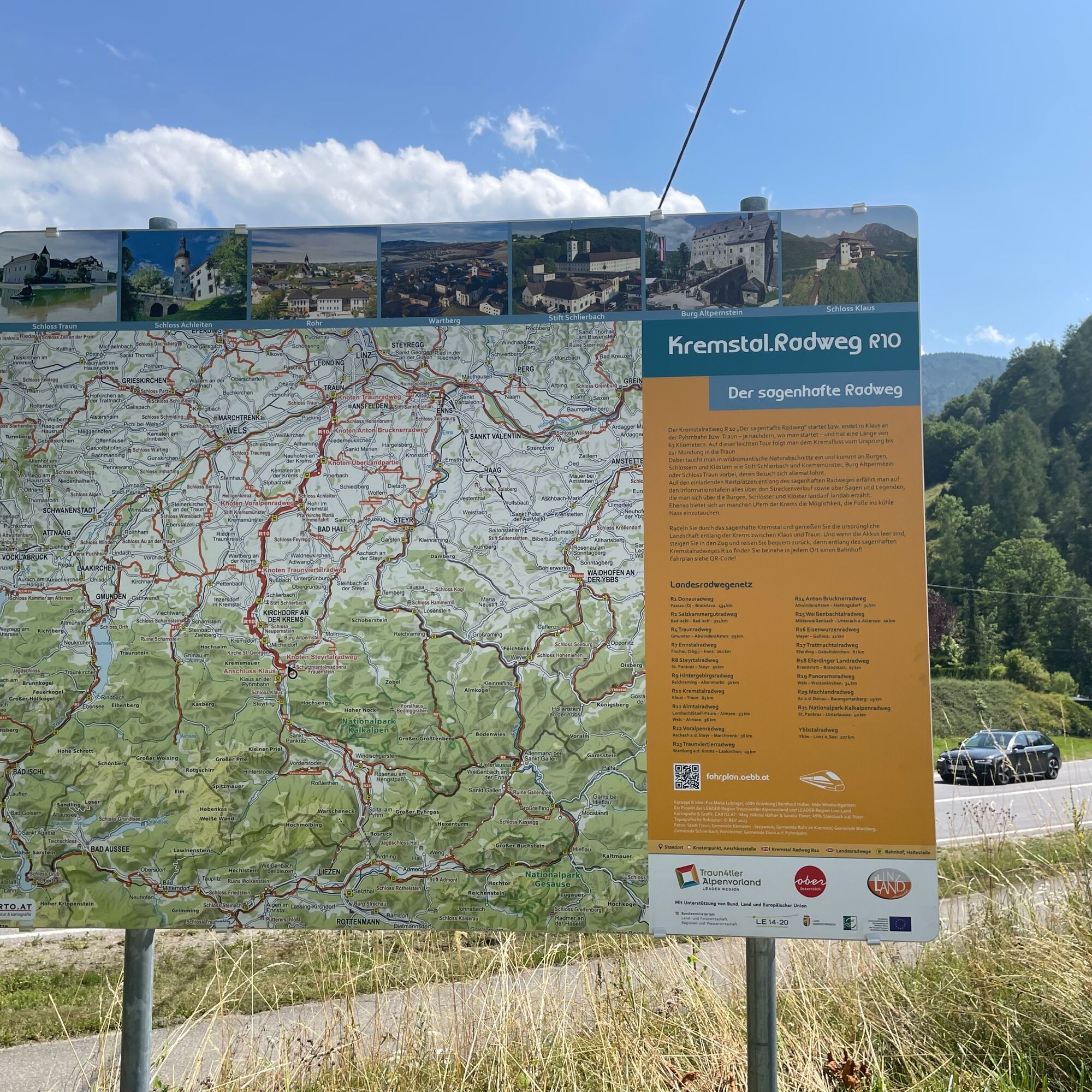
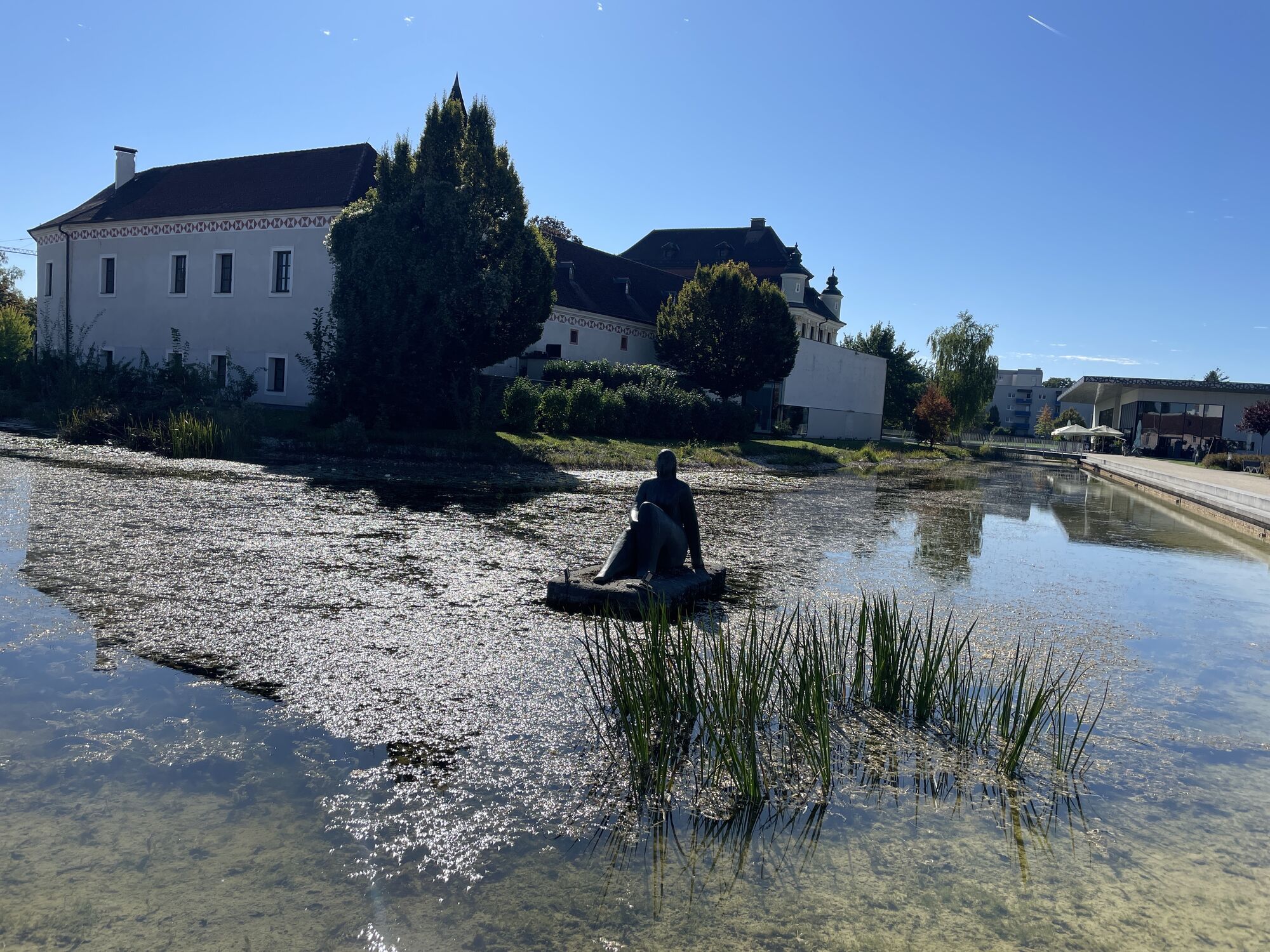
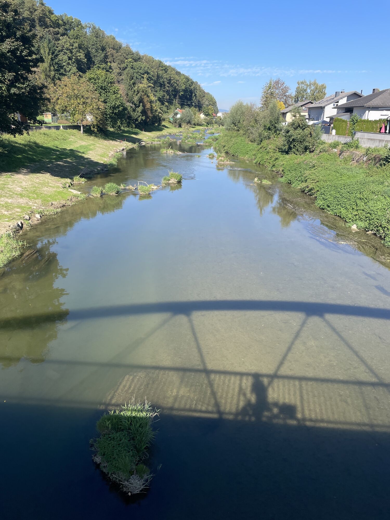
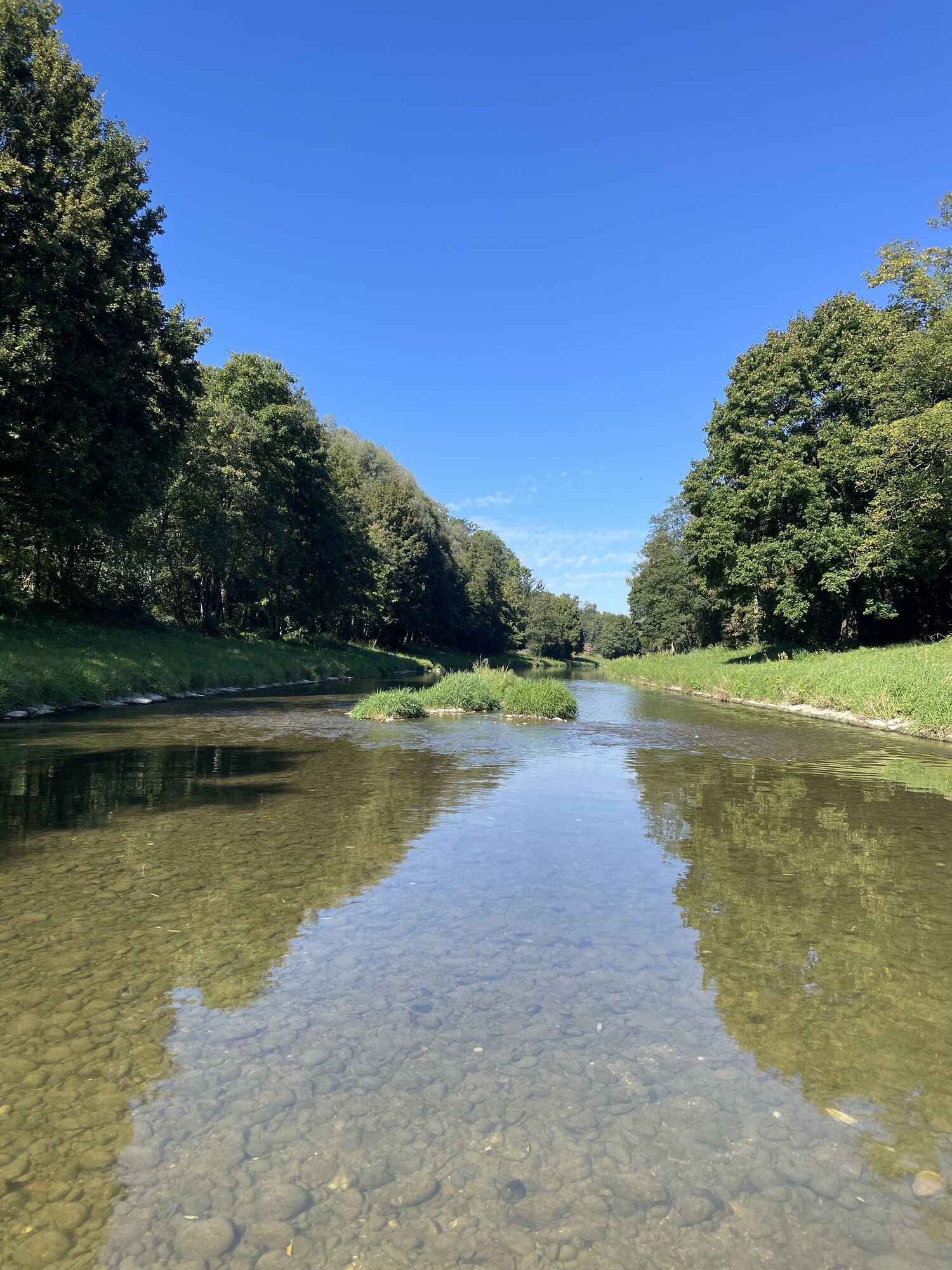
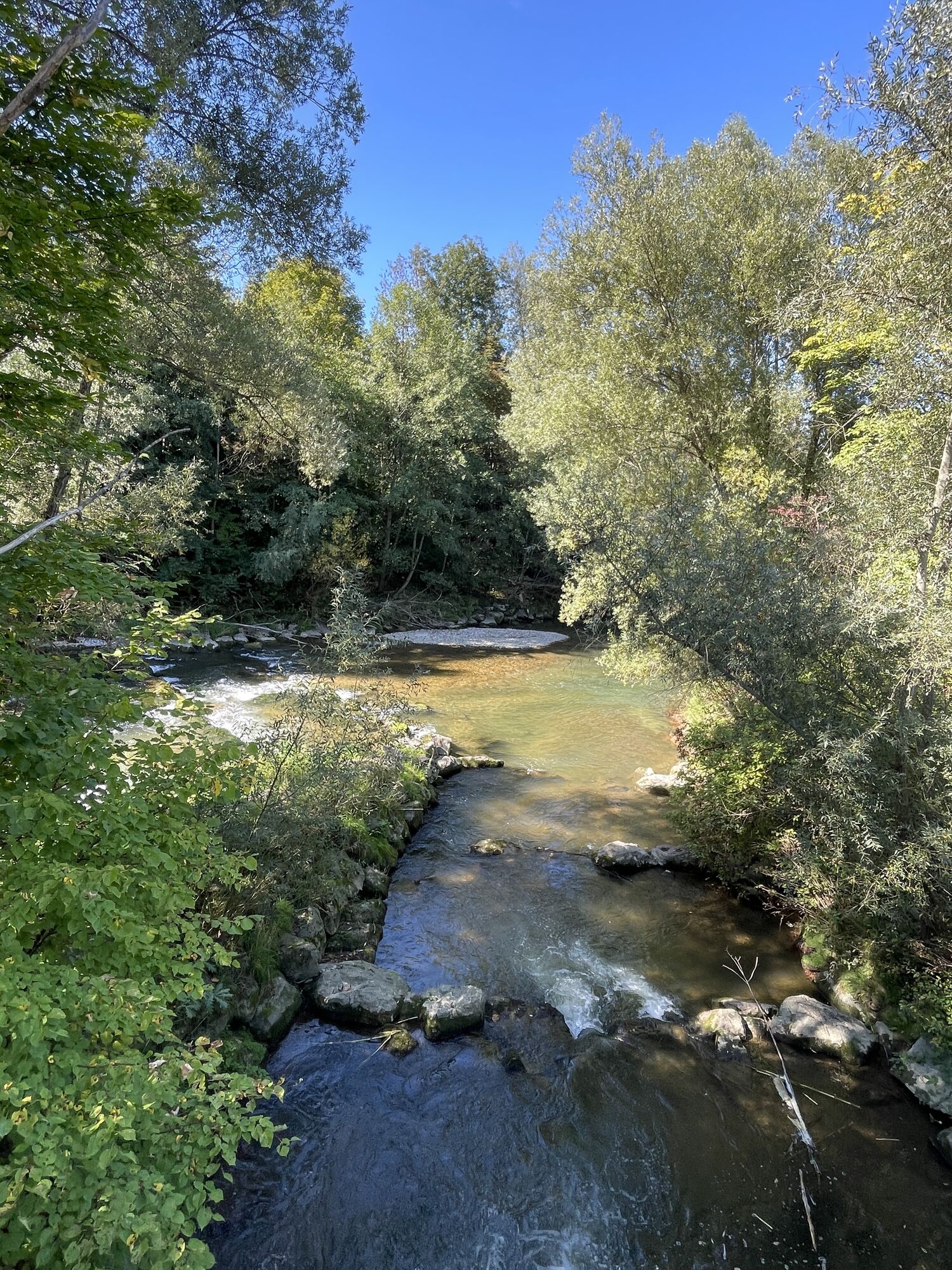
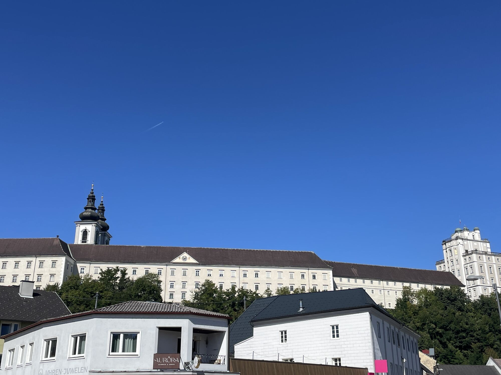
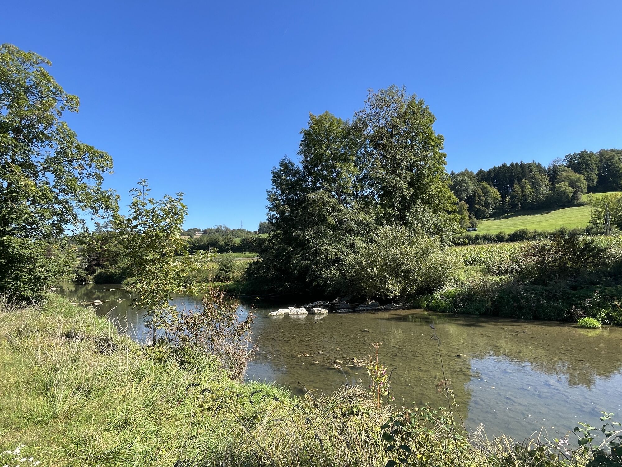
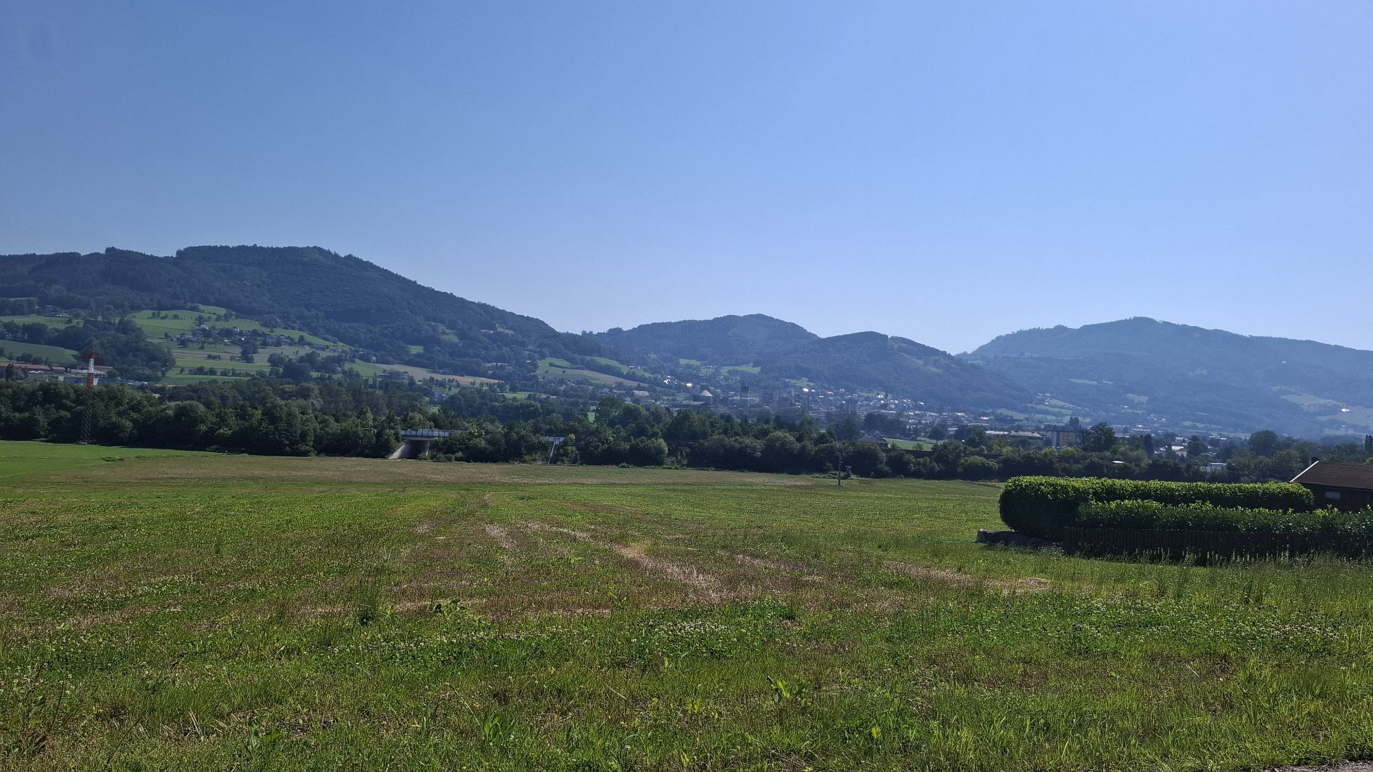
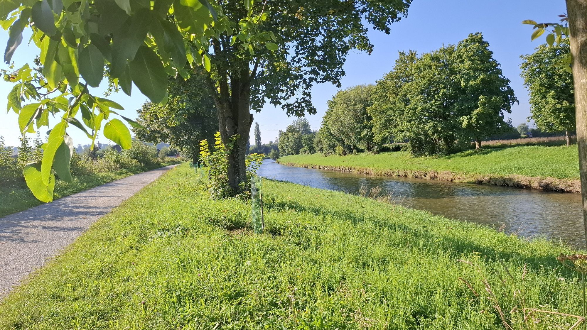
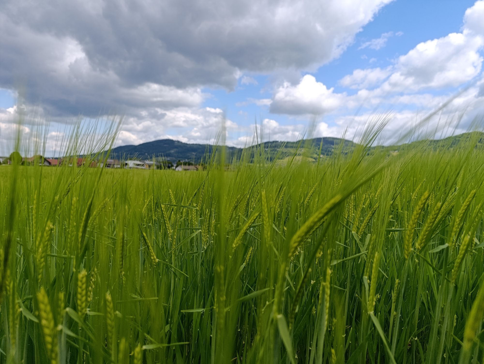
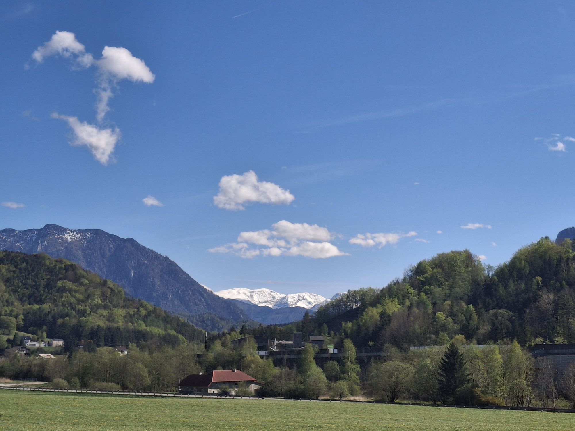
On this easy route, you follow the Krems River from its source to its mouth at the Traun. Along the way, you immerse yourself in wild romantic natural sections and pass castles, palaces, and monasteries such as Schlierbach Abbey and Kremsmünster Abbey, Altpernstein Castle, or Traun Castle, which is definitely worth a visit. At the inviting rest stops along the legendary cycle path, information panels provide details about the route as well as the legends and myths told about the castles, palaces, and monasteries across the region. In addition, at some banks of the Krems, you have the opportunity to dip your feet into the cool water.
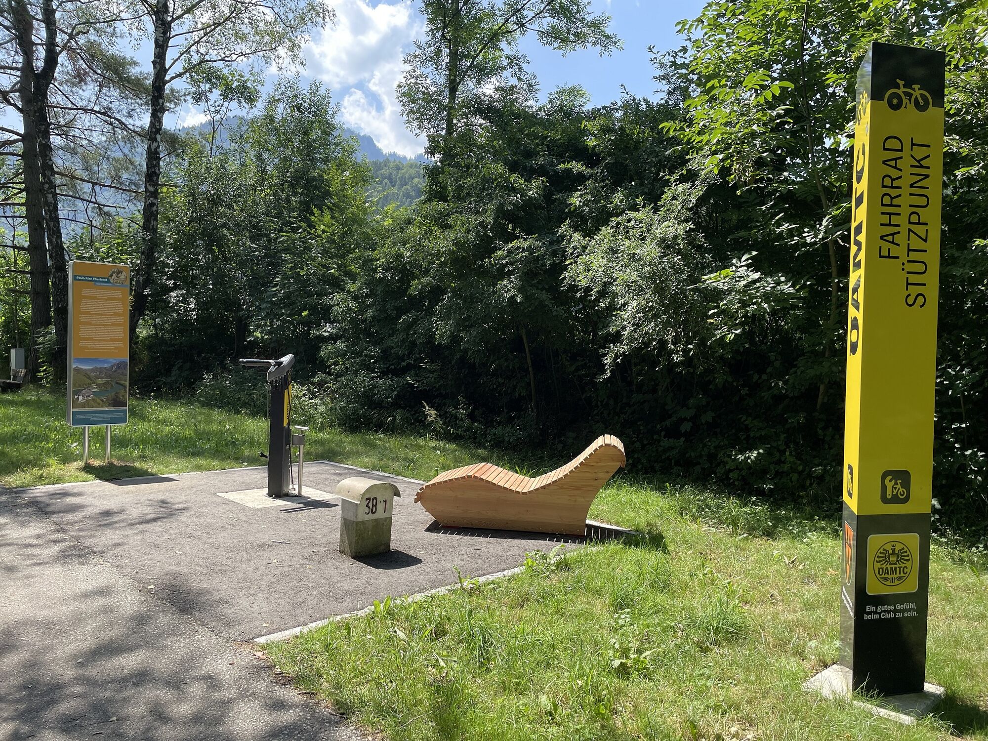
New rest stops
At the numerous rest stops built along the route with support from local municipalities, relaxing becomes truly legendary. The reclining chairs, benches, and themed panels invite you to take a short break, enjoy the beautiful landscape along the Krems, cool your feet from time to time in the Krems River, or even take a plunge into the cold water.
By train and bike
Another plus point of this legendary cycle path is the local rail connections. Cyclists can use the ÖBB services in almost every town along the route for arrival or, for tired riders, to return to the starting point. Taking a bike on board is very easy; a reservation is recommended on weekends.
Connections to Upper Austria cycle network
As mentioned, the Kremstal cycle path R 10 is an optimal route from the Upper Austria central area to the periphery. Many combination options such as the Traun cycle path, Danube cycle path, Steyr Valley cycle path to the National Park region, on the National Park cycle path to the Pyhrn Priel region, and further on the Hintergebirge cycle path and Enns cycle path back to the central area create interesting multi-day cycling tours, which rank among the most beautiful in the country both scenically and in terms of route.
Simply legendary!
No other cycle path in Upper Austria has as many palaces, castles, and monasteries along the route, which come with the most legendary legends and stories to tell. Starting with Traun Castle or Klaus Castle (depending on the direction of travel), cyclists "experience" legendary stories about the partly existing or former noble residences, castles, and monasteries such as Schlierbach Abbey or Kremsmünster Abbey. Simply legendary, this cycle path!
Cycle through the legendary Kremstal and enjoy the original landscape along the Krems between Klaus and Traun.
Tak
Sun and rain protection, possibly a repair kit for minor bike punctures.
Check in advance for any path and road closures along the route.
Maps are available at www.steyr-nationalpark.at
Popularne wycieczki w okolicy
- 4,7
Grünburger Hut via Dorngraben Molln
średniWędrówka 3,43 km - 4,5
Dürres Eck - Gaisberg - Hochbuchberg
średniWędrówka 11,2 km - 4,2
Rinnerberger Waterfall - Gorge
średniWędrówka 7,55 km - 4,7
Kleiner und Großer Landsberg (3.7.2019) mit Sonnenuntergang
średniWędrówka 3,51 km - 4,3
Eiskogel (1087m) und Pernecker Kogel (1080m) ab Parkplatz Kronbauer
światłoWędrówka 4,77 km - 4,2
Grillenparz (Schlierbach) Schlierbach, Österreich
światłoWędrówka 6,56 km - 4,8
Rieserberg-Grünburgerhütte-Hochbuchberg und zurück
światłoWędrówka 7,80 km - 3,8
Seisenburg / Pettenbach
światłoWędrówka 4,59 km - 4,3
On the trail of cheese
średniWędrówka 7,13 km - 4,1
Mit dem Mountainbike auf die Grünburger Hütte
średniMountainbike 8,09 km

Wędrówki i tropienie


Nie przegap ofert i inspiracji na następne wakacje
Twój adres e-mail została dodana do listy mailingowej.