Nawigacja
Pobierz tę trasę na swój telefon komórkowy
Mapa
4 Sebaldustour Maria Seesal-Runde - The Hidden One
średni
Jazda na rowerze
70,41 km
Zeskanuj kod QR i rozpocznij nawigację w aplikacji bergfex.
QR Code
Wędrówki i tropienie

4 Sebaldustour Maria Seesal-Runde - The Hidden One

Odległość
70,41 km
Czas trwania
05:10 h
Ascent
531 hm
Poziom morza
357 - 623 m

Poziom trudności: 2

Ścieżka do pobrania
Mapa
4 Sebaldustour Maria Seesal-Runde - The Hidden One
średni
Jazda na rowerze
70,41 km

The route on Outdooractive - registration on the platform required

The route on Komoot - registration on the platform required

The route on Bergfex - registration on the platform not required

The route...

Opis

The route on Outdooractive - registration on the platform required

The route on Komoot - registration on the platform required

The route on Bergfex - registration on the platform not required

The route on sebaldustour.at - registration on the platform not required

Trasa
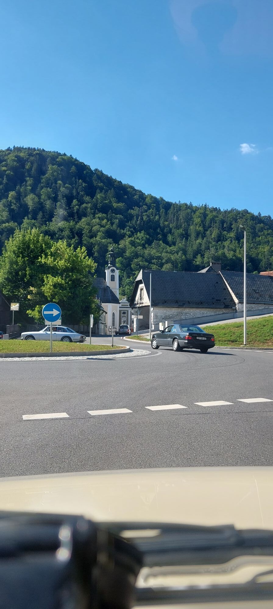
Sebastianskapelle
(398 m)
Miejsce kultu
0,0 km
St. Kunigunde
(422 m)
Miejsce kultu
19,5 km
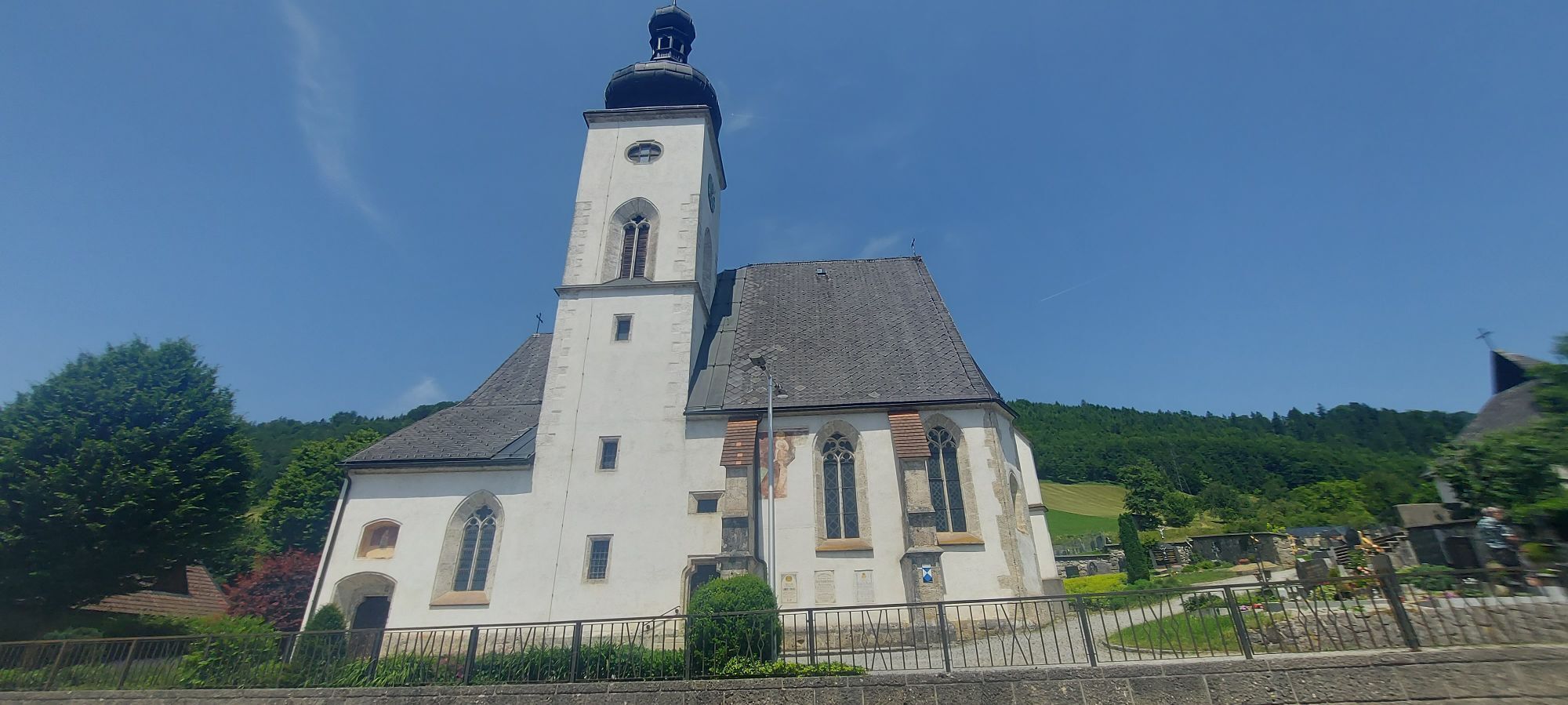
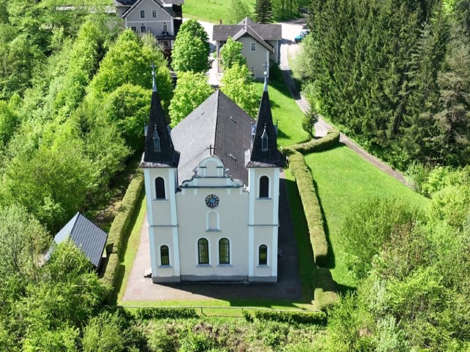
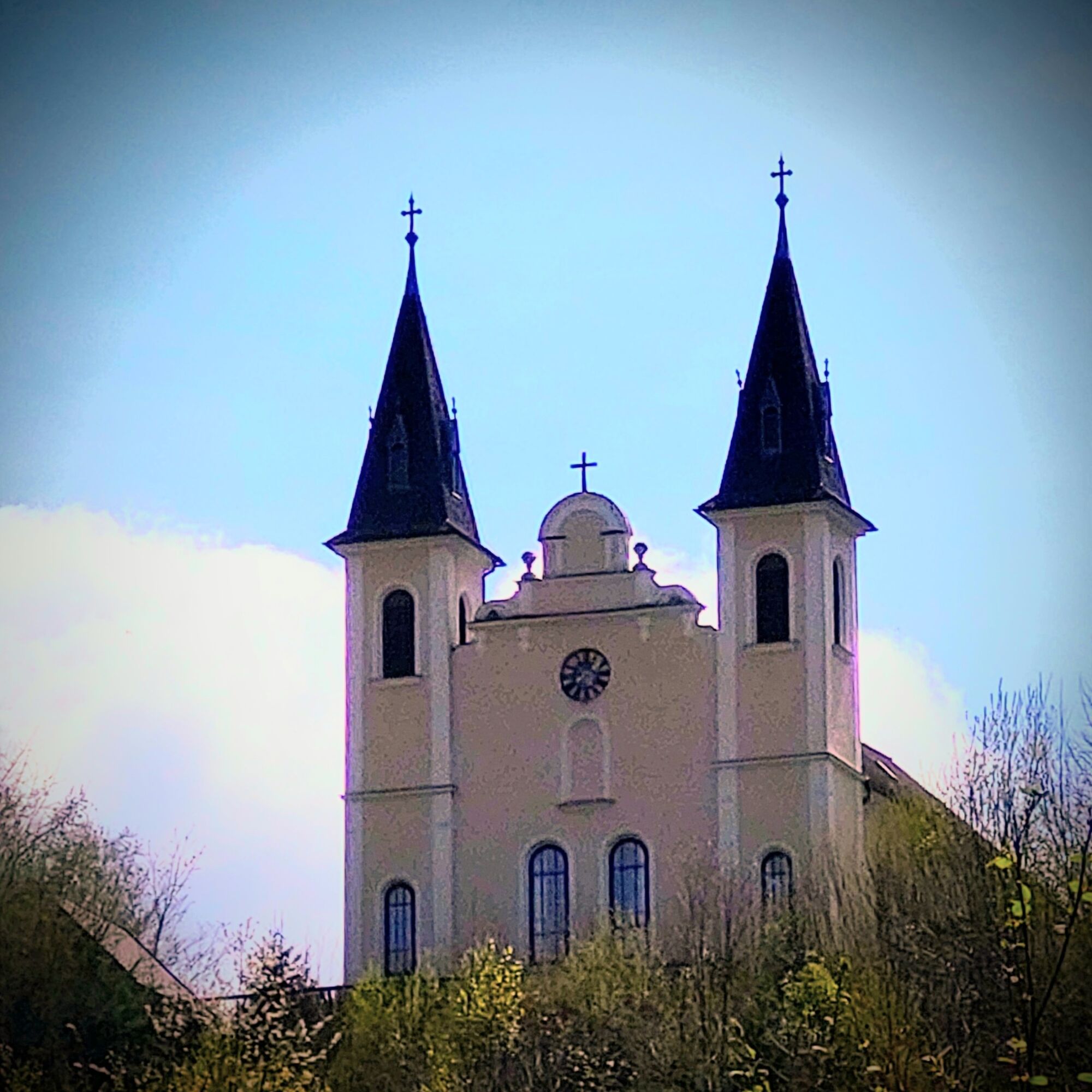
Wallfahrtskirche Maria Seesal
(524 m)
Miejsce kultu
33,6 km
Pfarrkirche hl. Johannes der Täufer
(414 m)
Miejsce kultu
41,5 km
Kapelle hl. Kreuz
(372 m)
Miejsce kultu
50,3 km
Kirche Gaflenz
(482 m)
Miejsce kultu
62,0 km
Sebastianskapelle
(398 m)
Miejsce kultu
70,3 km
Trasa
Mapa
4 Sebaldustour Maria Seesal-Runde - The Hidden One
średni
Jazda na rowerze
70,41 km
Sebastianskapelle
(398 m)
Miejsce kultu
0,0 km
Weyer
(398 m)
Wioska
0,0 km
Gasthaus Berger
(401 m)
Restauracja
0,2 km
Mühlein
(424 m)
Wioska
1,3 km
Thalbauer
(460 m)
Rozliczenie
7,7 km
Krenngraben
(572 m)
Wioska
9,8 km
Walcherbauer
(445 m)
Wioska
9,8 km
Hohenlehen
(432 m)
Rozliczenie
12,6 km
Gstadt
(414 m)
Rozliczenie
16,9 km
Bruckwirt
(408 m)
Restauracja
18,6 km
Opponitz
(421 m)
Wioska
19,4 km
St. Kunigunde
(422 m)
Miejsce kultu
19,5 km
Gasthof zum Kirchenwirt
(420 m)
Restauracja
19,6 km
Hauslehen
(429 m)
Rozliczenie
19,9 km
Großprolling
(570 m)
Rozliczenie
26,8 km
Kleinprolling
(532 m)
Rozliczenie
29,6 km
Reiterstube
(567 m)
Restauracja
30,7 km
Maria Seesal
(523 m)
Rozliczenie
33,6 km
Wallfahrtskirche Maria Seesal
(524 m)
Miejsce kultu
33,6 km
Ungermühle
(454 m)
Rozliczenie
36,5 km
Gasthaus Ungermühle
(454 m)
Restauracja
36,5 km
Jank
(446 m)
Rozliczenie
37,4 km
Haselgraben
(426 m)
Rozliczenie
39,5 km
Ybbsitz
(414 m)
Wioska
41,5 km
Pfarrkirche hl. Johannes der Täufer
(414 m)
Miejsce kultu
41,5 km
Ederlehen
(392 m)
Rozliczenie
44,3 km
Steinmühl
(371 m)
Rozliczenie
46,6 km
Pizzeria Valentino
(379 m)
Restauracja
47,5 km
Kreilhof
(449 m)
Wioska
48,1 km
Kapelle hl. Kreuz
(372 m)
Miejsce kultu
50,3 km
Zell an der Ybbs
(363 m)
Wioska
51,2 km
Sommerhöhle
(352 m)
Wejście do jaskini
51,5 km
Koglerhöhle
(356 m)
Wejście do jaskini
51,5 km
Waidhofen an der Ybbs
(362 m)
Miasto
51,8 km
Bürgerspitalkirche
(358 m)
Miejsce kultu
52,3 km
Wasservorstadt
(359 m)
Sąsiedztwo
52,6 km
Wirts
(409 m)
Wioska
54,3 km
Jutta's Einkehrstüberl
(489 m)
Restauracja
58,8 km
Oberland
(500 m)
Rozliczenie
60,0 km
Gasthaus Kases
(501 m)
Restauracja
60,1 km
Kirche Gaflenz
(482 m)
Miejsce kultu
62,0 km
Jedermann
(477 m)
Restauracja
62,2 km
Markt
(476 m)
Sąsiedztwo
62,3 km
Gaflenz
(477 m)
Wioska
62,3 km
Neudorf
(430 m)
Wioska
67,4 km
Obsweyer
(425 m)
Wioska
68,5 km
Weyer an der Enns
(404 m)
Stacja kolejowa
69,7 km
Sebastianskapelle
(398 m)
Miejsce kultu
70,3 km
Weyer
(398 m)
Wioska
70,3 km
Informacje o wycieczce

The Seesalrunde is available in 2 variants:

The slightly longer one from Gaflenz or Weyer via Pichlhöhe and over the Saurüsselstraße to the Ybbstalradweg bike path to Kleinhollenstein. There turn left downstream towards Opponitz. At the Bruckwirt turn right. From there through the village and then uphill towards Kleine Kripp. Then a sharp left turn towards Ybbsitz. Over Prolling for 4.5 km to the right turnoff (don't miss it) to Gut Theuretzbach. From there over the hill to the pilgrimage destination Maria Seesal. Further via Ybbsitz to Waidhofen and Gaflenz or Weyer.

This, like all other Sebaldustour routes, can be started from both Weyer and Gaflenz.

For the shorter route start in Waidhofen and ride upstream along the Ybbstalradweg to Opponitz. There turn left and continue as with the first variant.

The detailed route description can be found under "show full description"

As an alternative you can find information about the shorter variant here.

Have a look at the video here to get an impression of the route.
#gemeinsameRadausfahrt

Technologia
2 / 6
Stan
3 / 6
Krajobraz
3 / 6
Doświadczenie
3 / 6
Najlepsza pora roku
Sty
Lut
Mar
Kwi
Maj
Cze
Lip
Sie
Wrz
Paź
Lis
Gru
Udostępnij trasę
Mapa
4 Sebaldustour Maria Seesal-Runde - The Hidden One
średni
Jazda na rowerze
70,41 km
Błąd
Wystąpił błąd. Spróbuj ponownie.
Informacje o trasie
Trasa

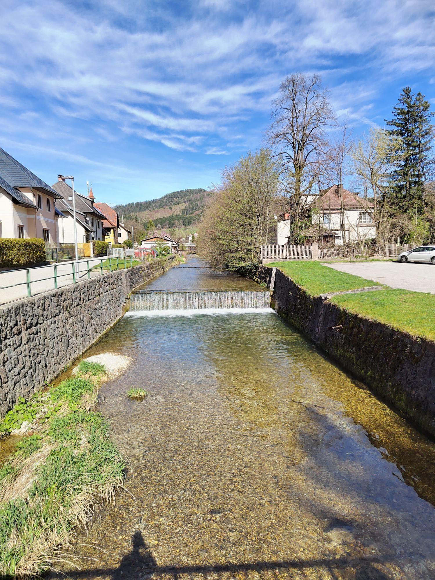
From Gaflenz first over the Breitenau to the Weyer road maintenance depot, there turn left to Pichlhöhe. Over the new Saurüsselstraße to Kleinhollenstein.

From Weyer, start from the market square, go through Hollensteinerstraße directly to the Saurüssel and on to Kleinhollenstein.

There turn left for a few hundred meters to join the Ybbstalradweg. This leads downstream to Opponitz (turn right at the Bruckwirt). From there to the Kleine Kripp to Großprolling and Kleinprolling. Then at the Kleinprolling turnoff turn right uphill, past Gut Theuretzbach and over the hill to the pilgrimage destination Maria Seesal.

After the inner refreshment in the church, there is also the option to refresh physically at the nearby Krumpmühle inn.

Continue on the road to Ybbsitz, which features the parish church, a mighty late Gothic hall church, as well as many other sights and places to rest.

The “little Ybbstalradweg” leads to Gstadt station, then continues to Waidhofen town and back to Gaflenz and Weyer.

Those who want to make the route shorter can take the train from Waidhofen Stadt station back to Gaflenz or Weyer.

Sprzęt

Bicycle helmet, first aid kit for rider and bicycle

Instrukcje bezpieczeństwa

Please note: For environmental reasons, extensive signage has largely been omitted along the route. Map and GPX data provide the necessary security.

Dodatkowe informacje i wskazówki
Poziom trudności

2

Nie ma jeszcze recenzji
Napisz recenzję

Recenzje pomagają innym użytkownikom wybrać kolejną przygodę. Oceniaj tylko trasę, a nie pogodę lub przekąskę.

Wybierz jedną z gwiazdek, aby ocenić wycieczkę
Zła trasa
Słaba trasa
Przeciętna wycieczka
Dobra wycieczka
Doskonała wycieczka
bergfex logo Uzyskaj wgląd Zawsze na żywo z ponad 9 500 kamer internetowych. bergfex Jako użytkownik Pro, możesz teraz zobaczyć odpowiednie kamery internetowe dla wielu wycieczek w aplikacji wycieczki od. Pozwala to na bezpośredni podgląd aktualnych warunków.
Wędrówki i tropienie

Wędrówki i tropienie

Wędrówki i tropienie
Ponad 550.000 propozycji wycieczek, szczegółowe mapy i intuicyjny planer tras sprawiają, że aplikacja jest niezbędna dla wszystkich entuzjastów przyrody.
bergfex