







R1.15 Three Saddle Round

Poziom trudności: 4
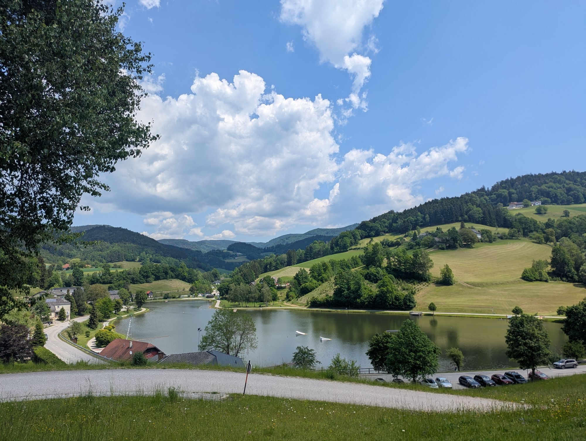
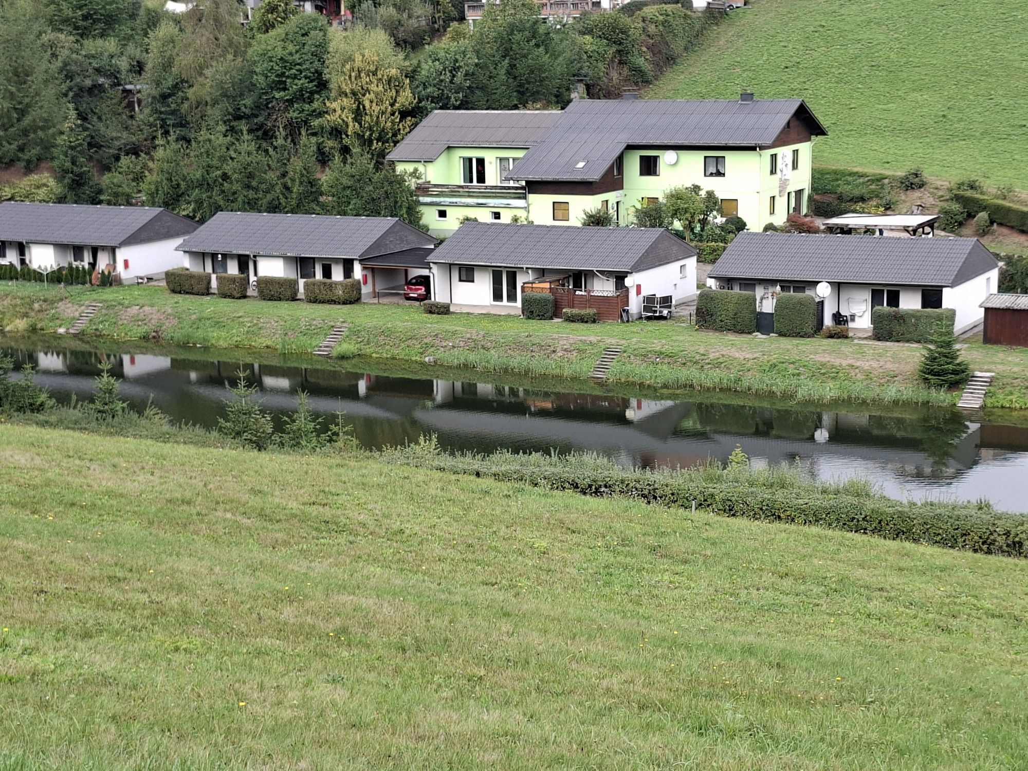
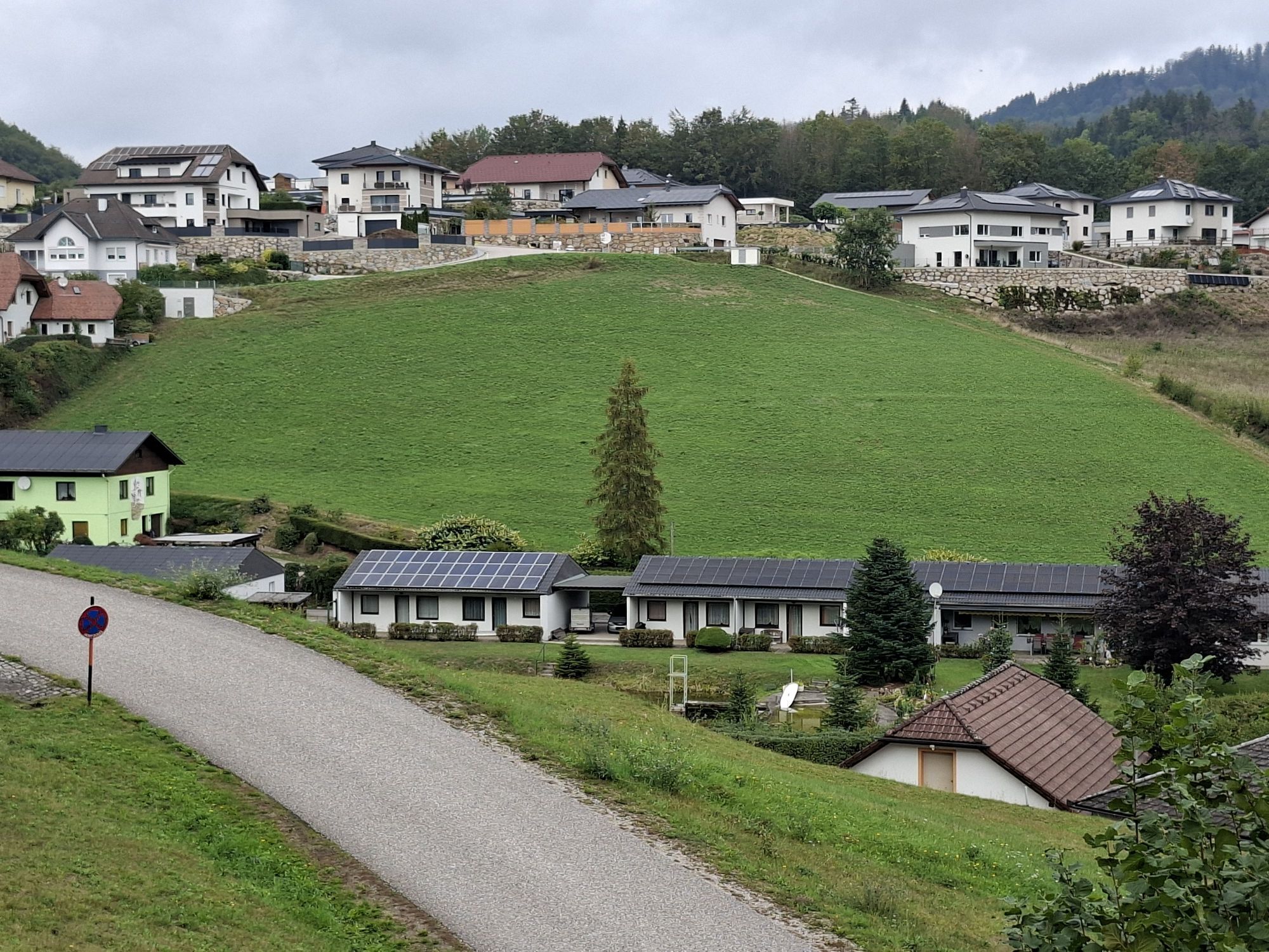
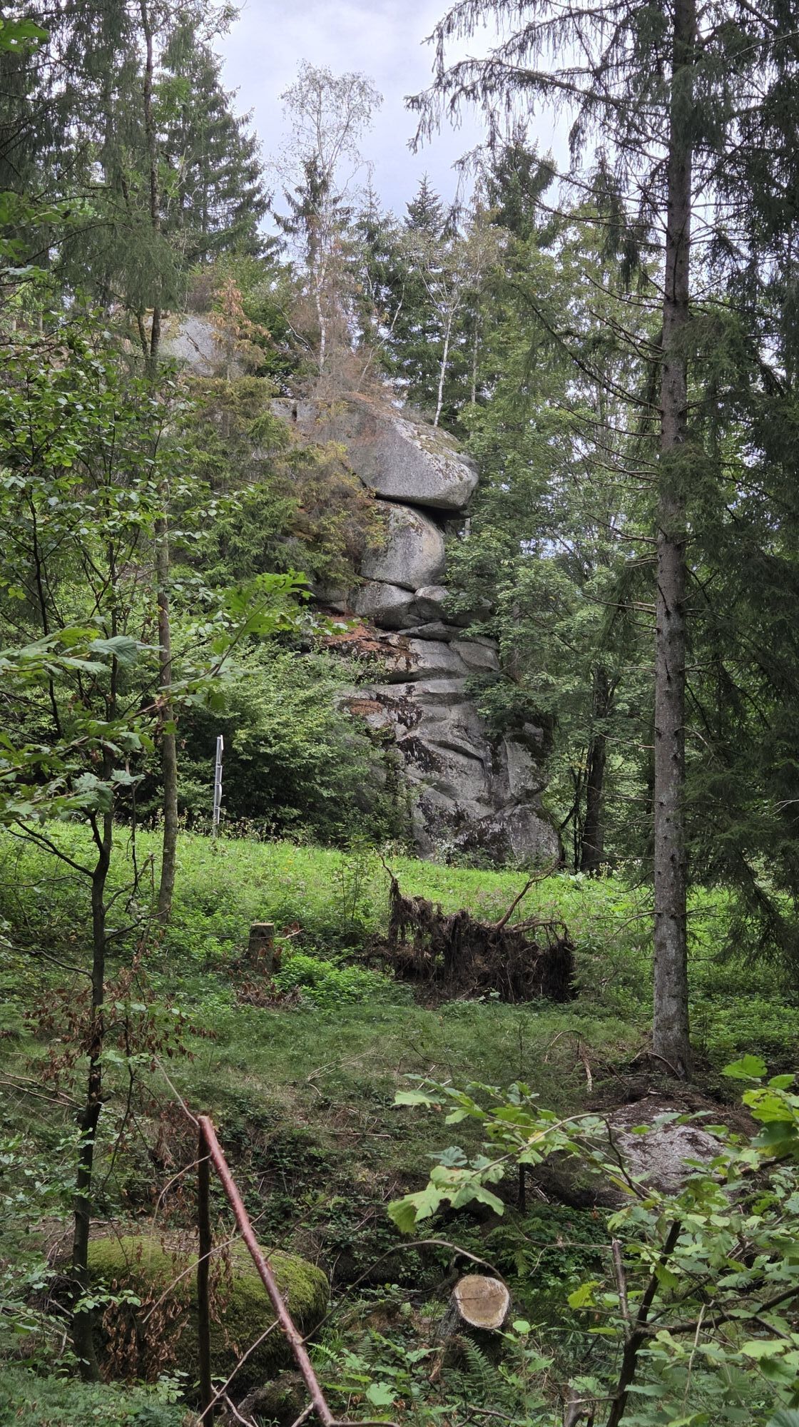
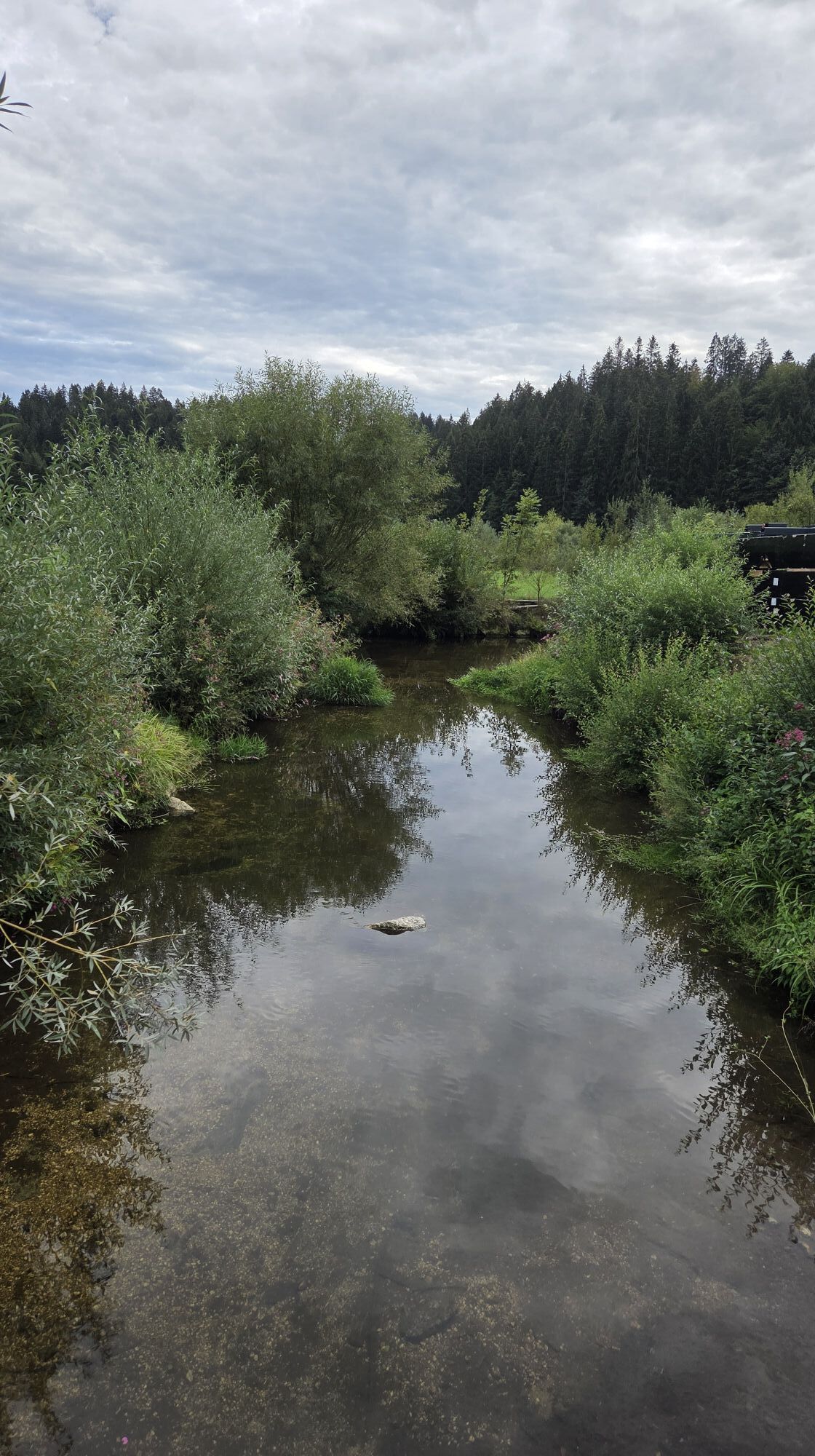
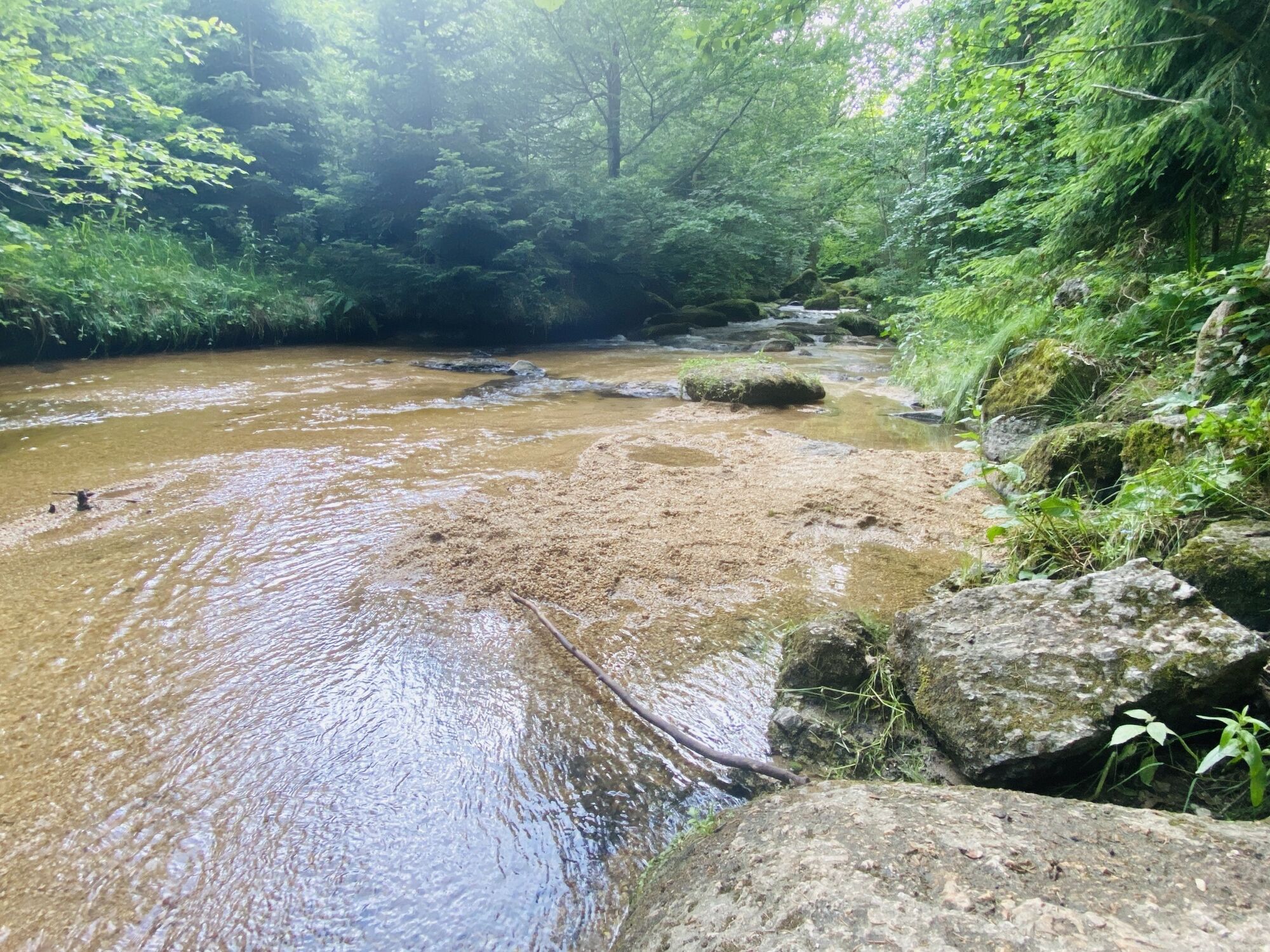
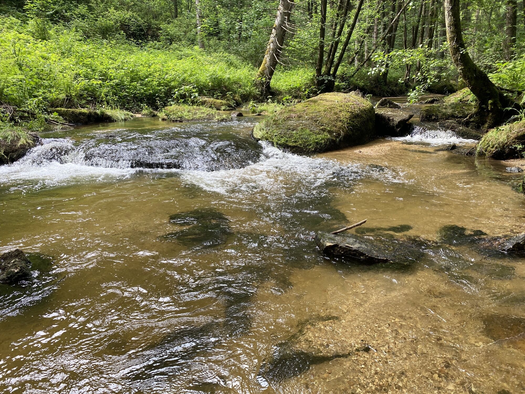
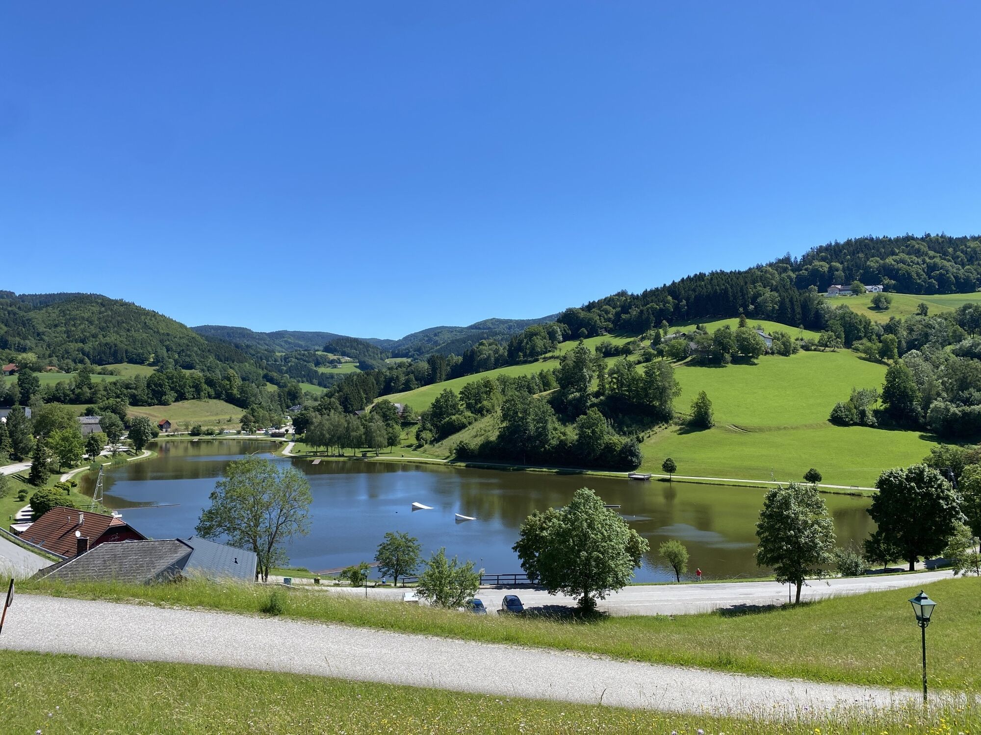
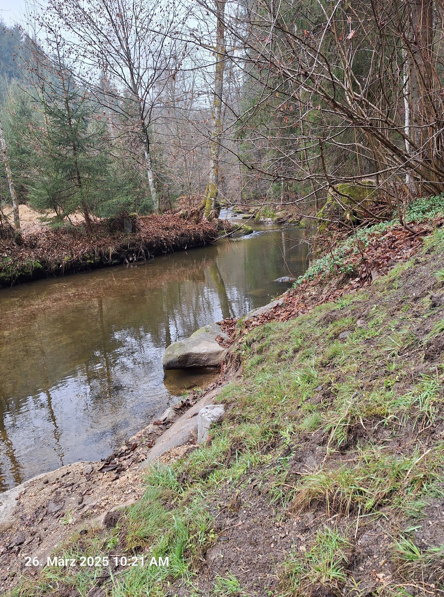
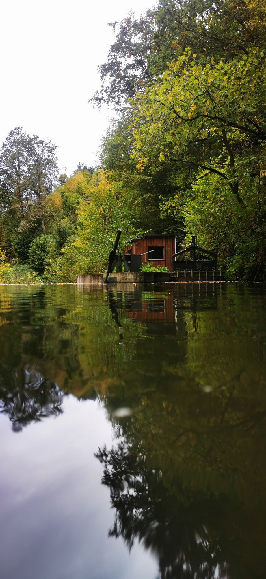
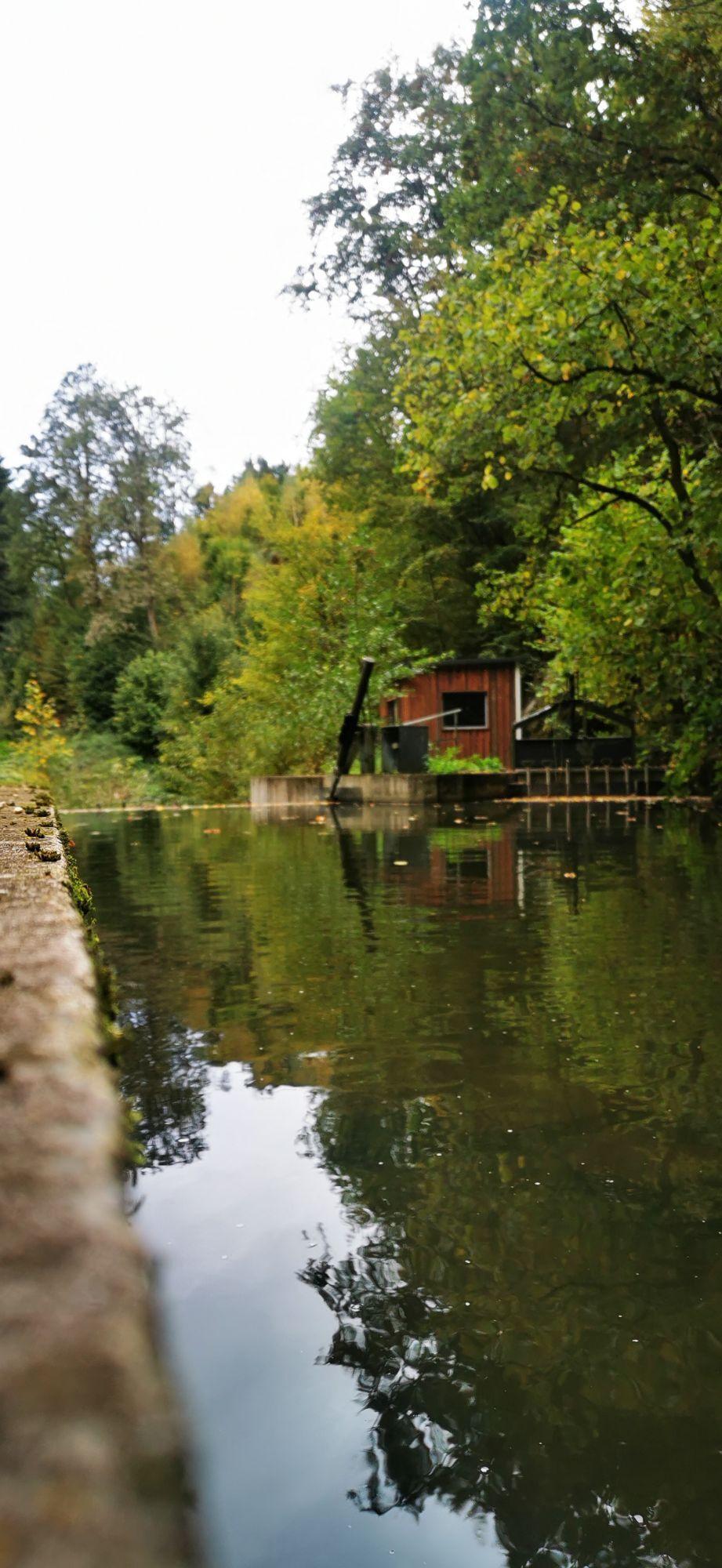
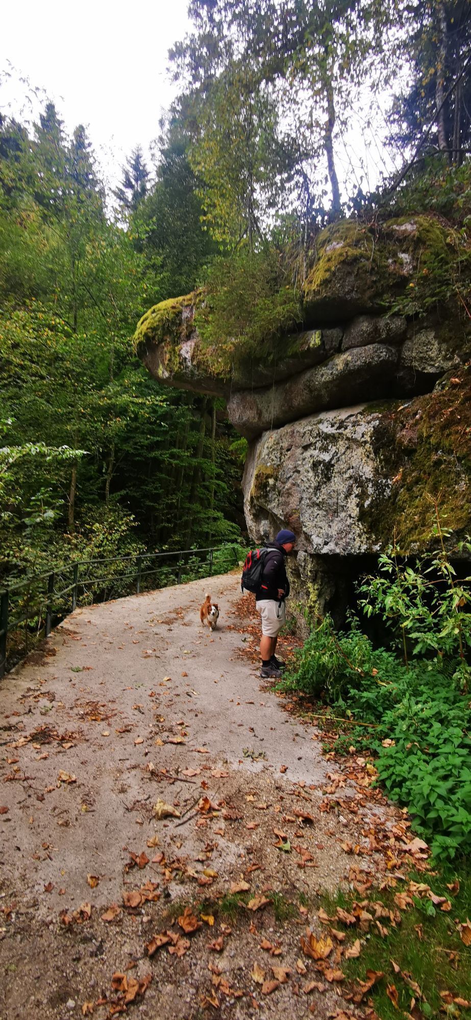
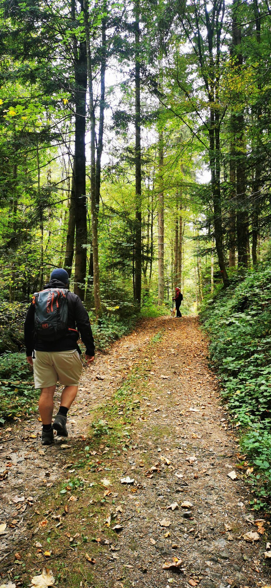
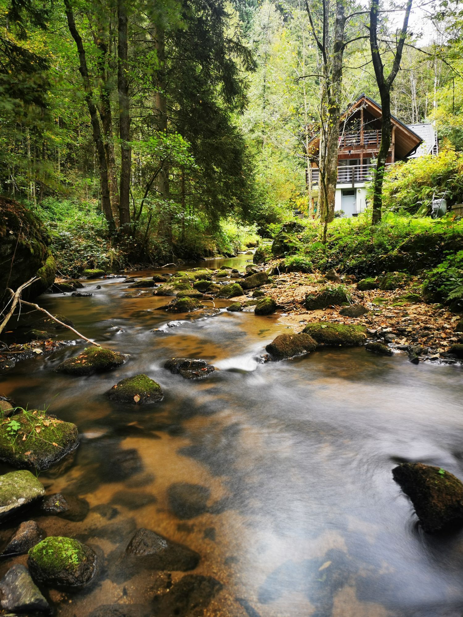
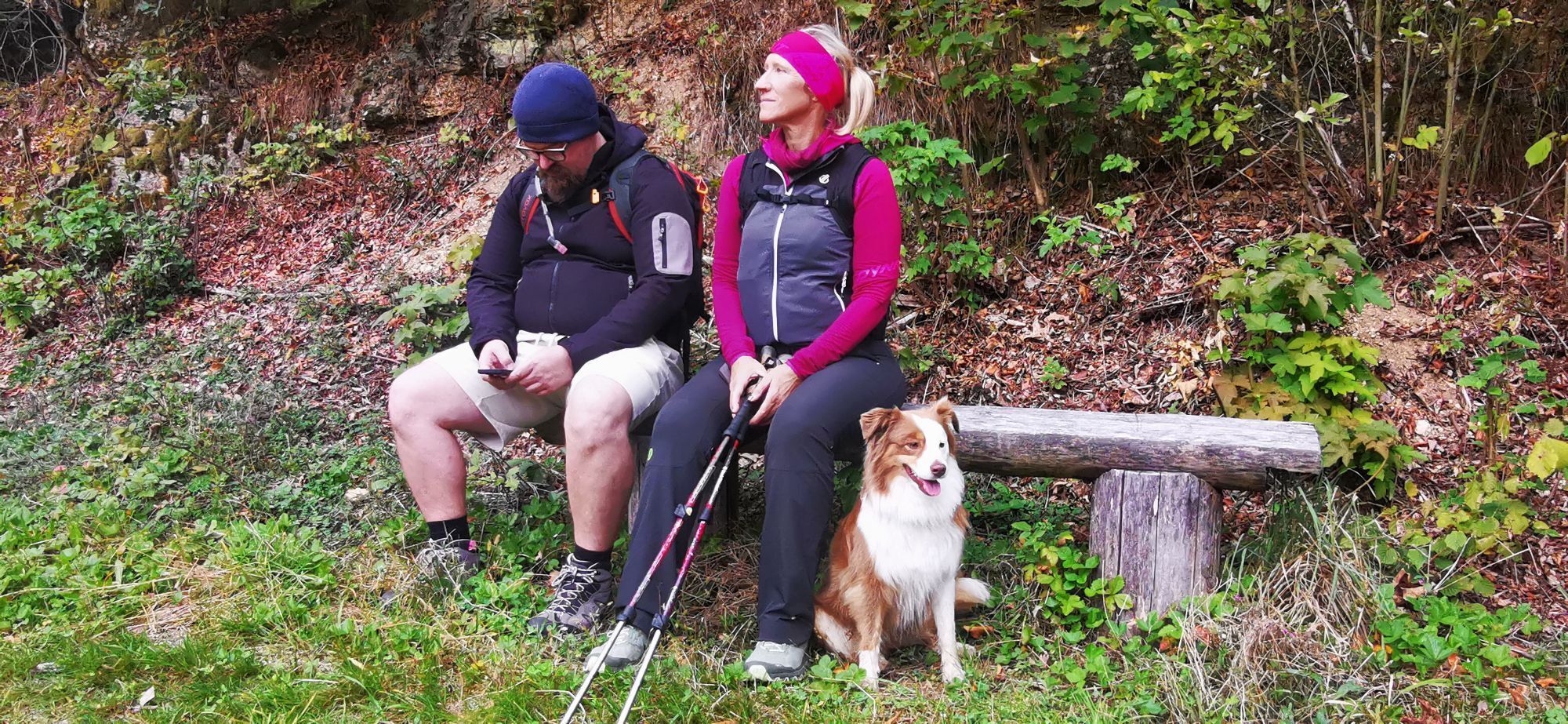
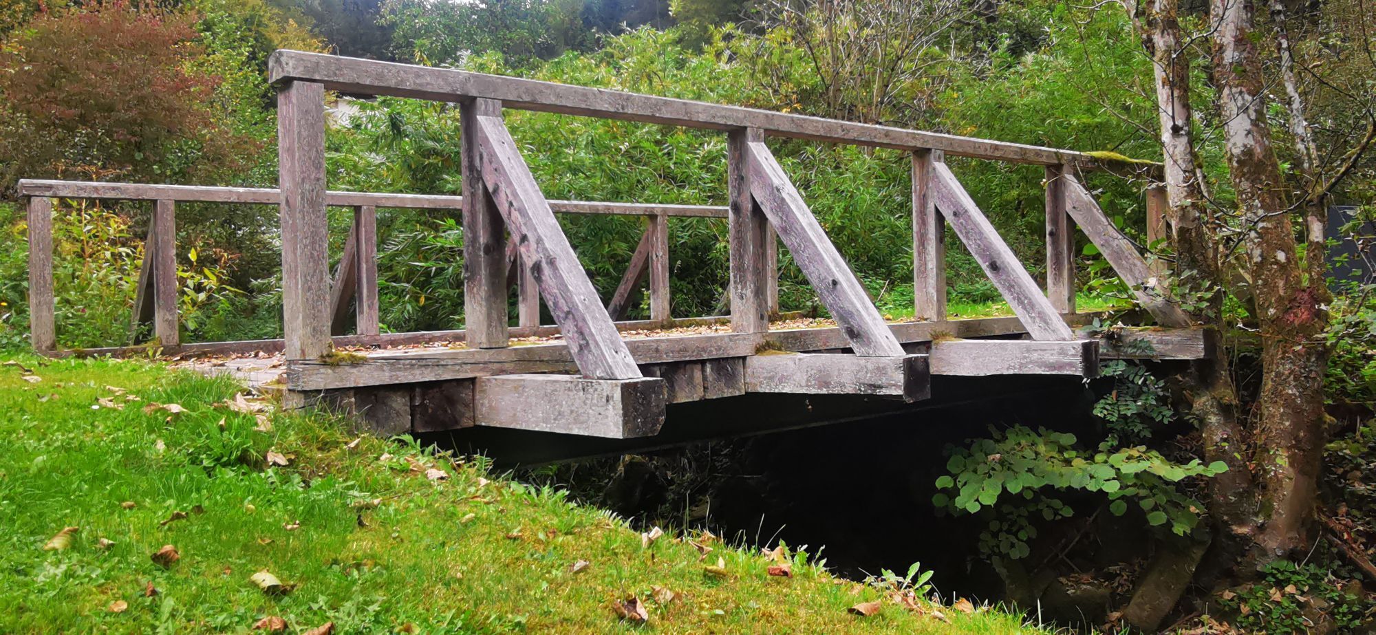
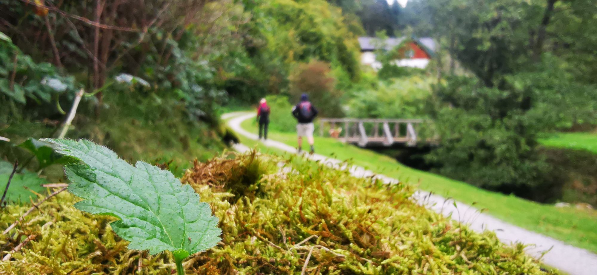
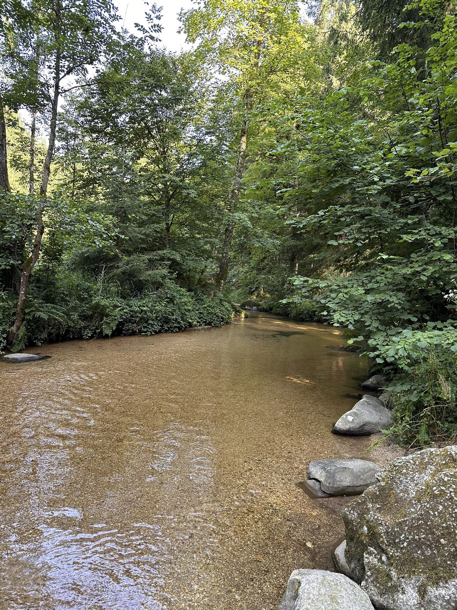
Experience up close the fascination of the lonely forest hill landscape north of the Strudengau gorge: eternal mountain forests, rural cultural land like oases, high hills, deep ditches, magnificent views...
Experience up close the fascination of the lonely forest hill landscape north of the Strudengau gorge: eternal mountain forests, rural cultural land like oases, high hills, deep ditches, magnificent views … Three saddles to cross strengthen the ego. In the middle, the historic market gem Waldhausen invites you to pause. A mountainous bike route for connoisseurs!
Highlights:
Three saddles in one stretch: Moarhofer Plain (70 m elevation), Sattl (190 m elevation), Dörfl (120 m elevation) Deep view into the Strudengau gorge Parish church Waldhausen (divine granite art) Waldhausen bathing lake Waldhausen abbey (magnificent abbey church, abbey mummies, festival garden)
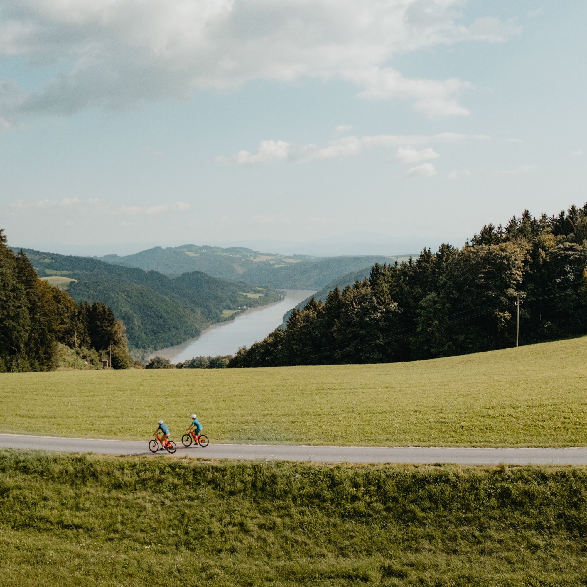
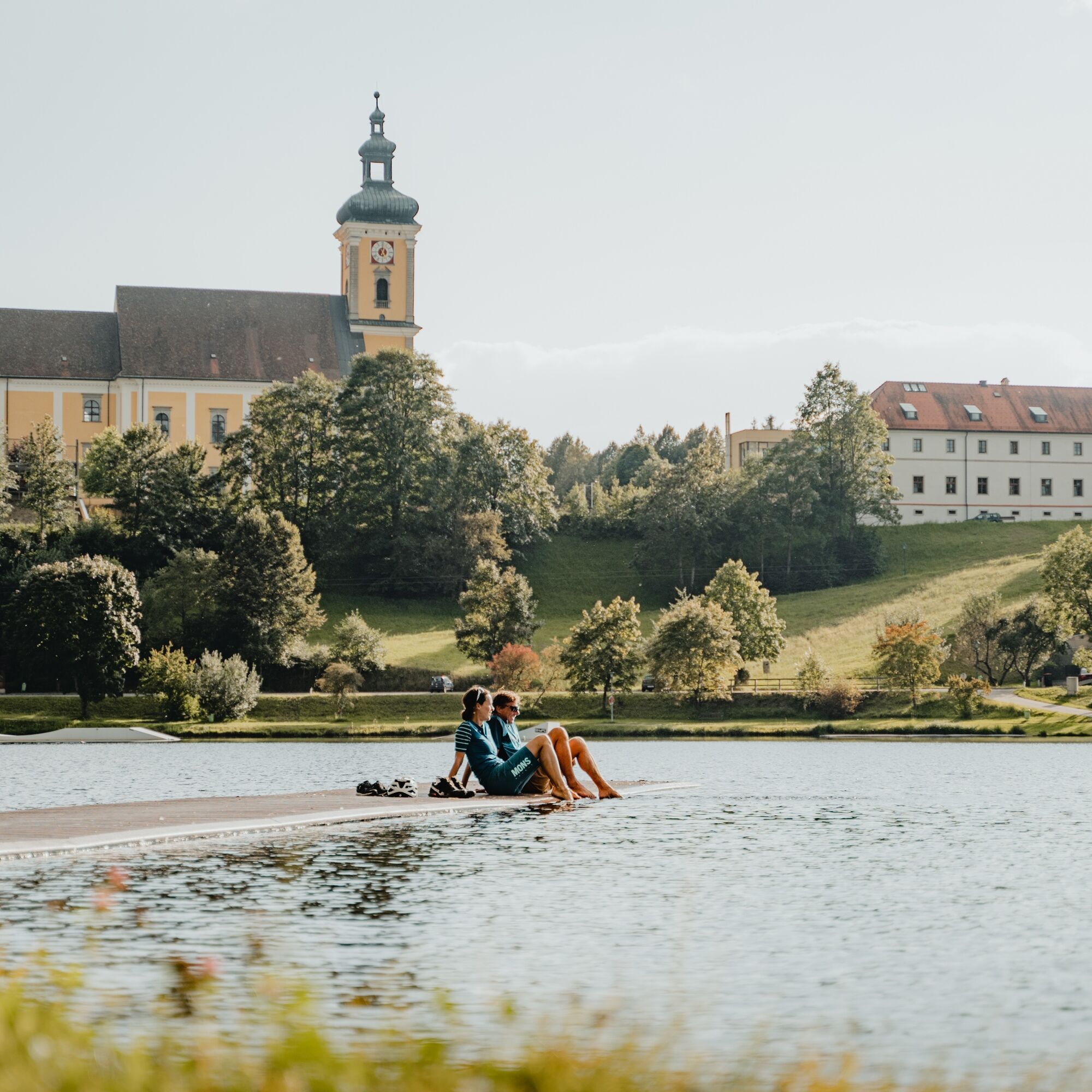
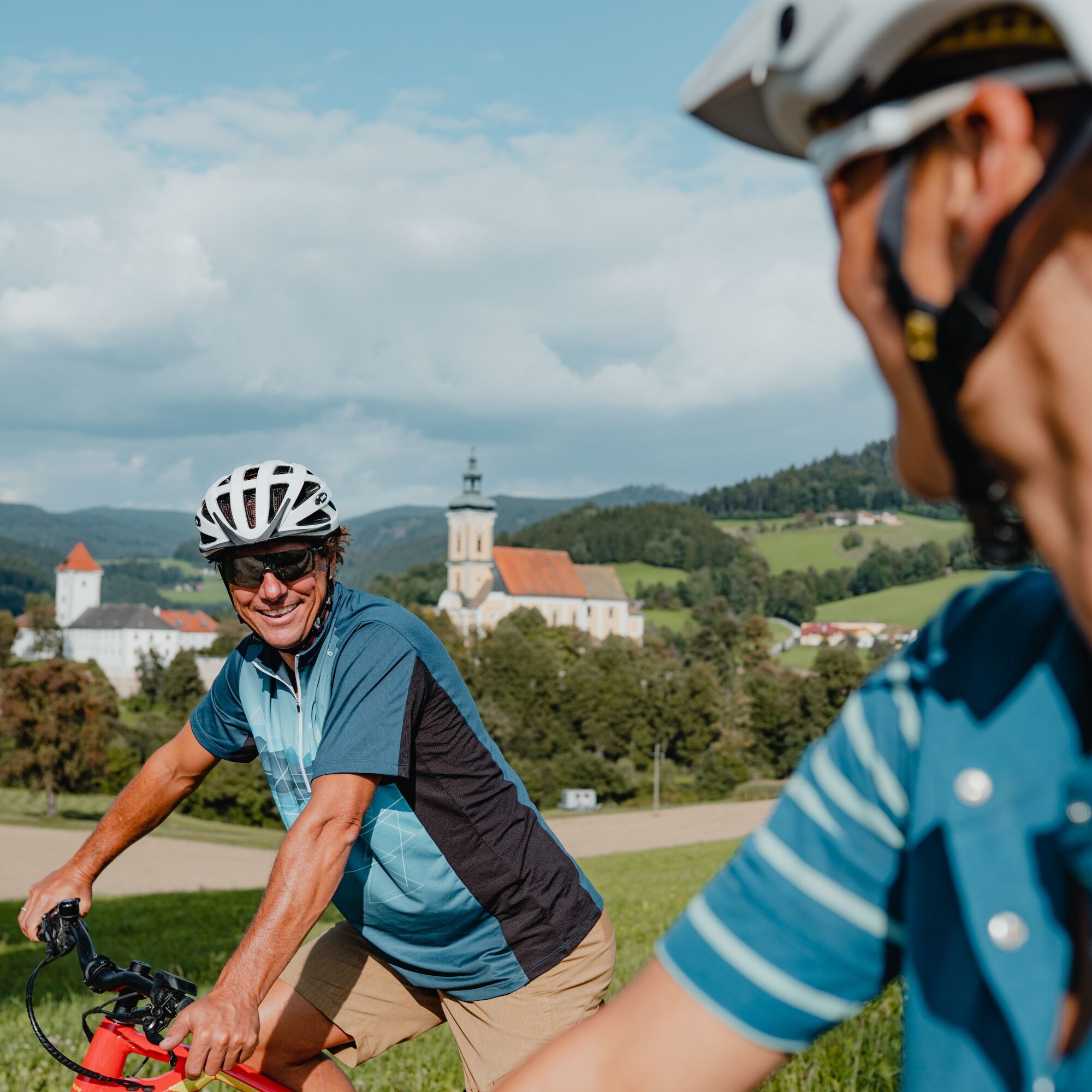
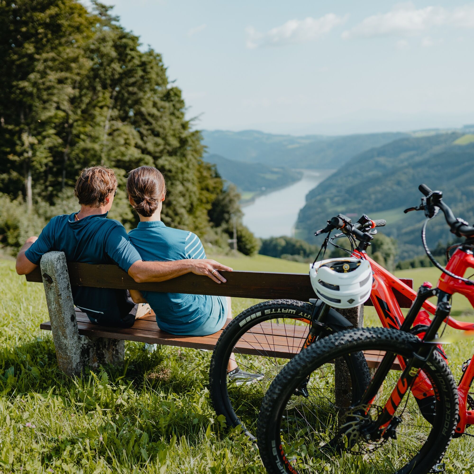
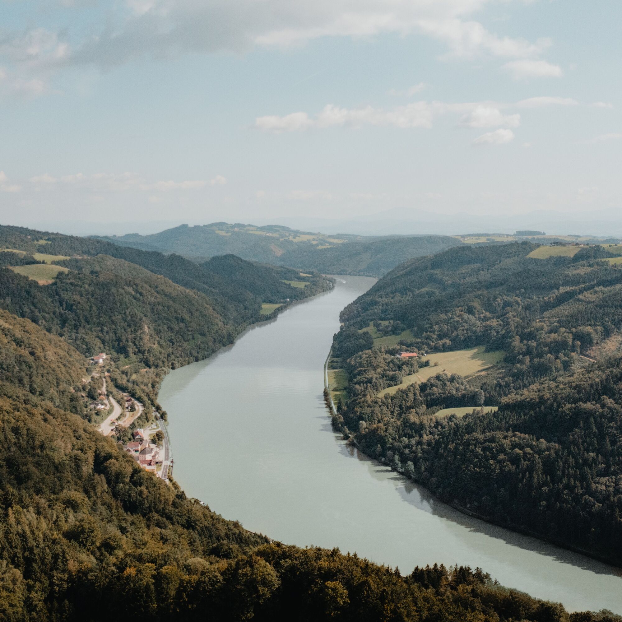
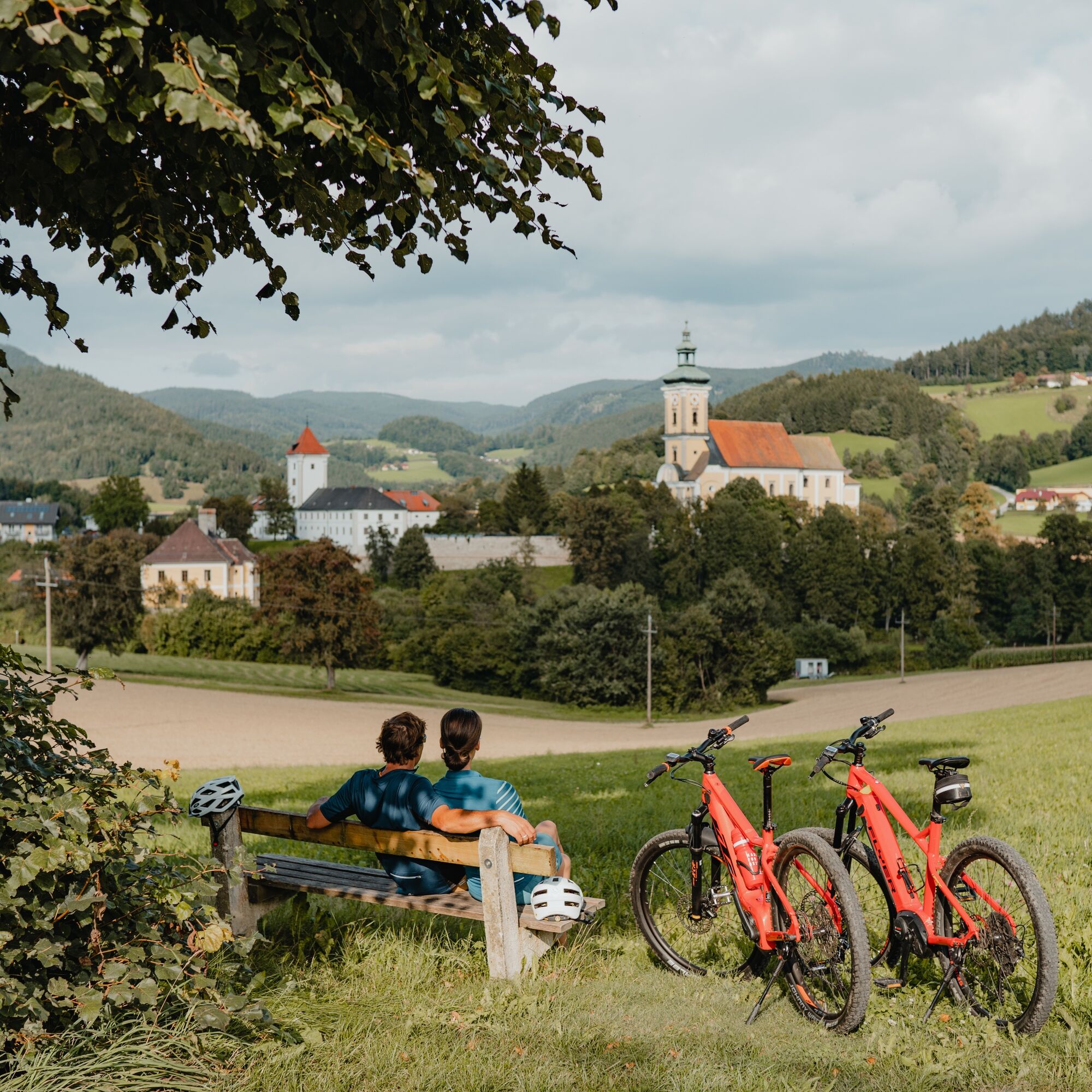

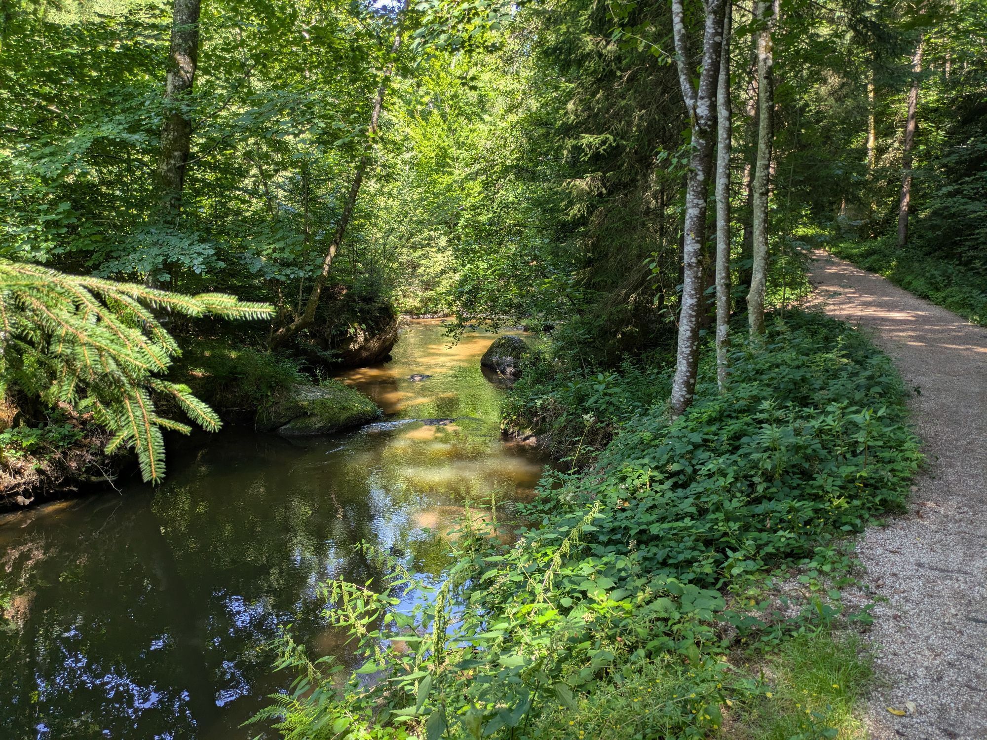
The Strudengauer-Kuppenland - a lonely forest hill sea on the high plateau north of the legendary Strudengau Danube gorge. The rhythm of the high hills and deep ditches radiates harmony, the endless mixed forests solitude. The starting point is the Aumühle in the lonely forest valley of the Gießenbach. In its valley bottom you warm up briefly cycling downhill. Then begins the first - the shortest - ascent. Through shady mountain forest, you pedal up a farm road to the rural Moarhofer Plain, the summit (470 m) of the first saddle. Congratulations!
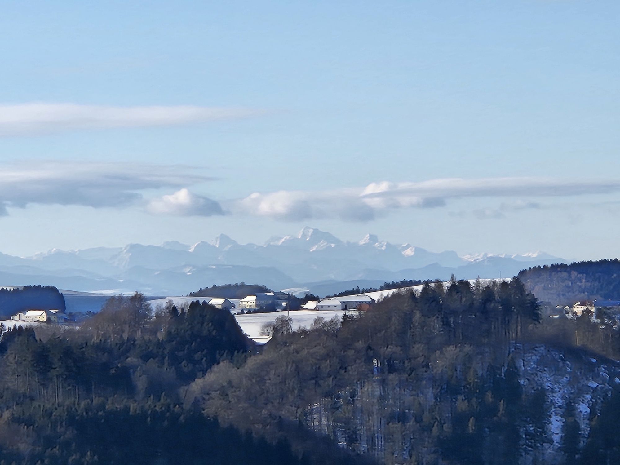
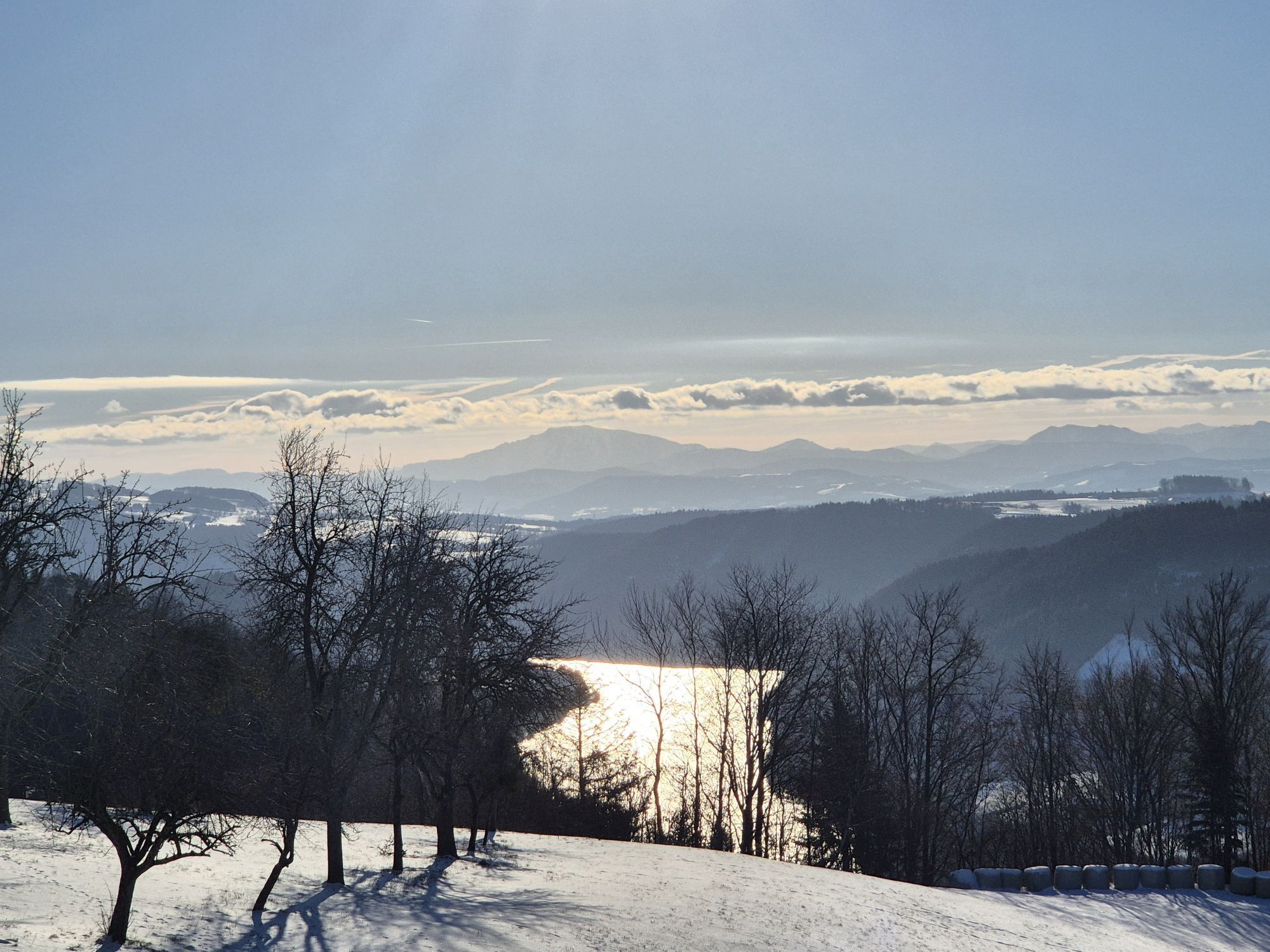
The swift descent into the neighboring valley awakens with magnificent mixed forest and rock ambience an unexpectedly alpine pass feeling. Upon reaching the hidden Dimbach valley, the second - the longest - climb begins. Through a concealed forest ditch, you ascend via a farm road until the landscape opens. Now, the lush meadows of the high-lying farm community Sattl dominate the landscape. The highest point (520 m) is a chapel shrine with an impressive deep view into the Strudengau gorge. Congratulations, the second saddle is done! The deep view to the Danube lets you feel proud height. And a bit of humility. After all, the Strudengau was once feared by boatmen because of its dangerous whirlpools. The descent surprises with airy high road flair, then you enter the rustic forest ditch of the Sarmingbach. In the valley floor, the ascent to the cultural highlight of the round - Waldhausen - begins!
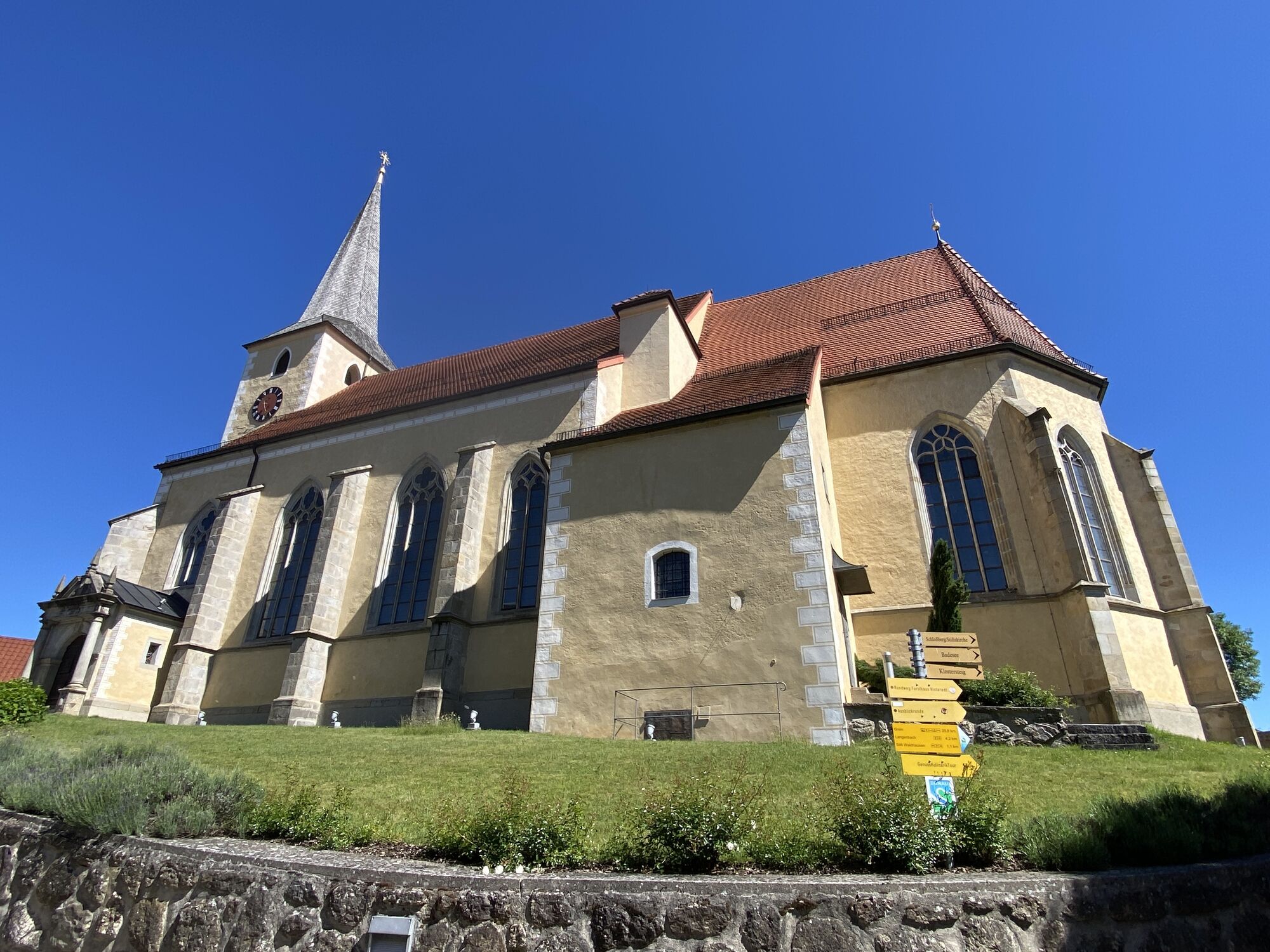
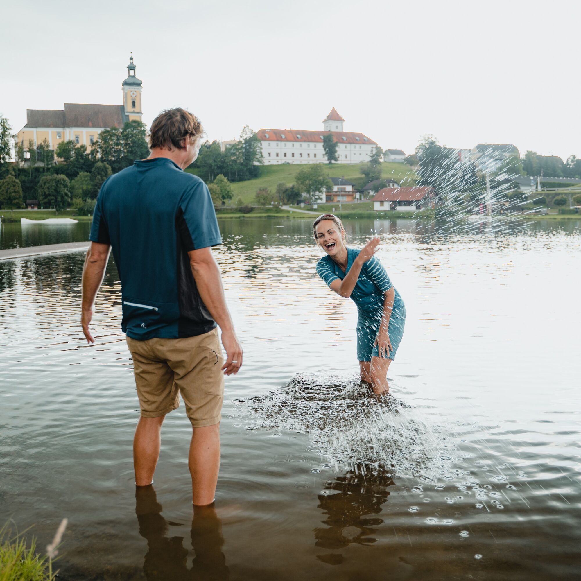
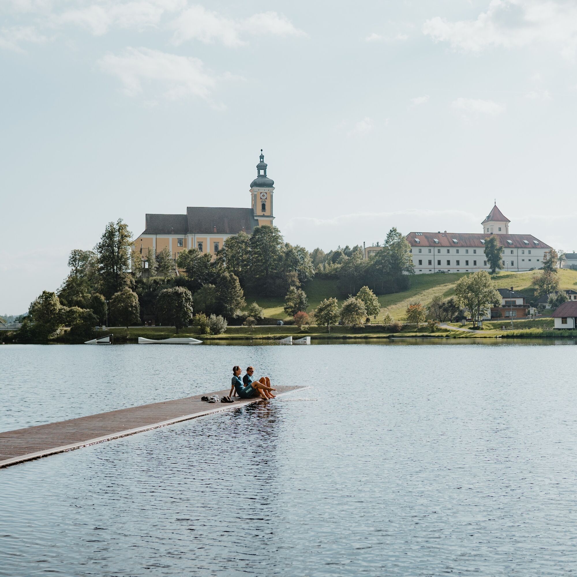
First somewhat steeper along the lightly trafficked main road, then over forest farm roads, natural forest/field paths, and finally pleasurable country roads through rustic Mühlviertel farmland. Suddenly, at the Hofbauer farmstead, the Waldhausen basin lies before your eyes in its full splendor. Surrounded by forest hills, the impressive abbey church in the center, the village ... a symbol of the clearing of this remote region. The historic market gem Waldhausen invites you to a pleasurable regeneration: the beautiful market square, artistic granite works, the parish church with granite art in its highest perfection, the refreshing waters of the bathing lake, the unusual abbey complex ...! After returning from the abbey loop, a rural side road leads over a low hill ridge back to the forested Dimbach valley. There begins the third ascent - to the highest point of the round!
A farm road leads quickly higher towards Dörfl. Rustic forest sections direct the gaze inward, in rural cultural landscape magnificent views provide an altitude experience. The highest point (540 m) is the house chapel a few meters before the Brandstätter farmstead. Congratulations, you stand at the 3rd saddle and highest point of the route! As a reward follows a pleasurable 2 km long panoramic descent - with small counter climbs - down to the Moarhofer Plain. You already know the short way back to the Aumühle. Have fun to the rhythm of the Strudengauer-Kuppenland!
Tak
The main part of this beautiful mountain bike route uses well-paved farm roads and side streets. Three short sections run along lightly trafficked main roads. A roughly 350 m long stretch of natural forest/field path brings out authentic mountain biking flair. Basic shifting skills are necessary for the three longer uphill rides. Basic braking skills are necessary for the winding descents.
Signage:
To make orientation easier for you, the Danube bike rounds have been marked with their own cycle guidance system. This round follows the signage "R1.15 Three Saddle Round".
How to arrive in the Upper Austria Danube region?
The fastest way to your destination – by train, bus, car, ship, or airplane.
Parking spaces are available directly at the "Aumühle" hotel
4
Discovery journeys with a pleasurable stopover! This route passes directly by the following culinary partner:
Gasthof Schauer




Aktywności na trasie
-

St. Nikola an der Donau, Oberösterreich/Österreich
27.09.2026 – Jazda na rowerze -
Waldhausen im Strudengau, Oberösterreich/Österreich
25.08.2026 – Mountainbike -

Bezirk Perg, Oberösterreich/Österreich
24.08.2026 – Jazda na rowerze -

Bezirk Perg, Oberösterreich/Österreich
22.08.2026 – E-MTB -
St. Nikola an der Donau, Oberösterreich/Österreich
08.08.2026 – Jazda na rowerze -
Waldhausen im Strudengau, Oberösterreich/Österreich
04.08.2026 – Mountainbike -
Waldhausen im Strudengau, Oberösterreich/Österreich
30.07.2026 – Mountainbike -
Waldhausen im Strudengau, Oberösterreich/Österreich
29.07.2026 – E-MTB -
Bezirk Perg, Oberösterreich/Österreich
26.07.2026 – Wędrówka -

Waldhausen im Strudengau, Oberösterreich/Österreich
15.07.2026 – Wędrówka
Popularne wycieczki w okolicy
-
4,0
Yspertal: Druidenweg - Ysperklamm
średniWędrówka 9,56 km -
4,7
Waldhausen: Outlook circuit
średniWędrówka 14,0 km -
4,2
Wolfsschlucht - auf den Spuren adeliger Kurgäste
Wędrówka 2,29 km -
4,7
Stillensteinklamm, Grein
światłoWędrówka 10,4 km -
4,7
Stillensteinklamm Rundweg über Struden
światłoWędrówka 12,6 km -
4,6
Ausgedehnte Peilsteinrunde
średniWędrówka 13,7 km -
4,5
Durch die Steinwandklamm von Maria Taferl aus
światłoWędrówka 8,26 km -
4,5
Gobelwarte-Runde, Grein
średniWędrówka 8 km -
4,4
Gobelwarte - Grein, Oberösterreich
średniWędrówka 5,41 km -
4,6
Brandstetterkogel über Matras Steig
światłoWędrówka 6,28 km
Wędrówki i tropienie


Nie przegap ofert i inspiracji na następne wakacje
Twój adres e-mail została dodana do listy mailingowej.





