


R1.03 Danube Valley Gorge Round
Poziom trudności: 3

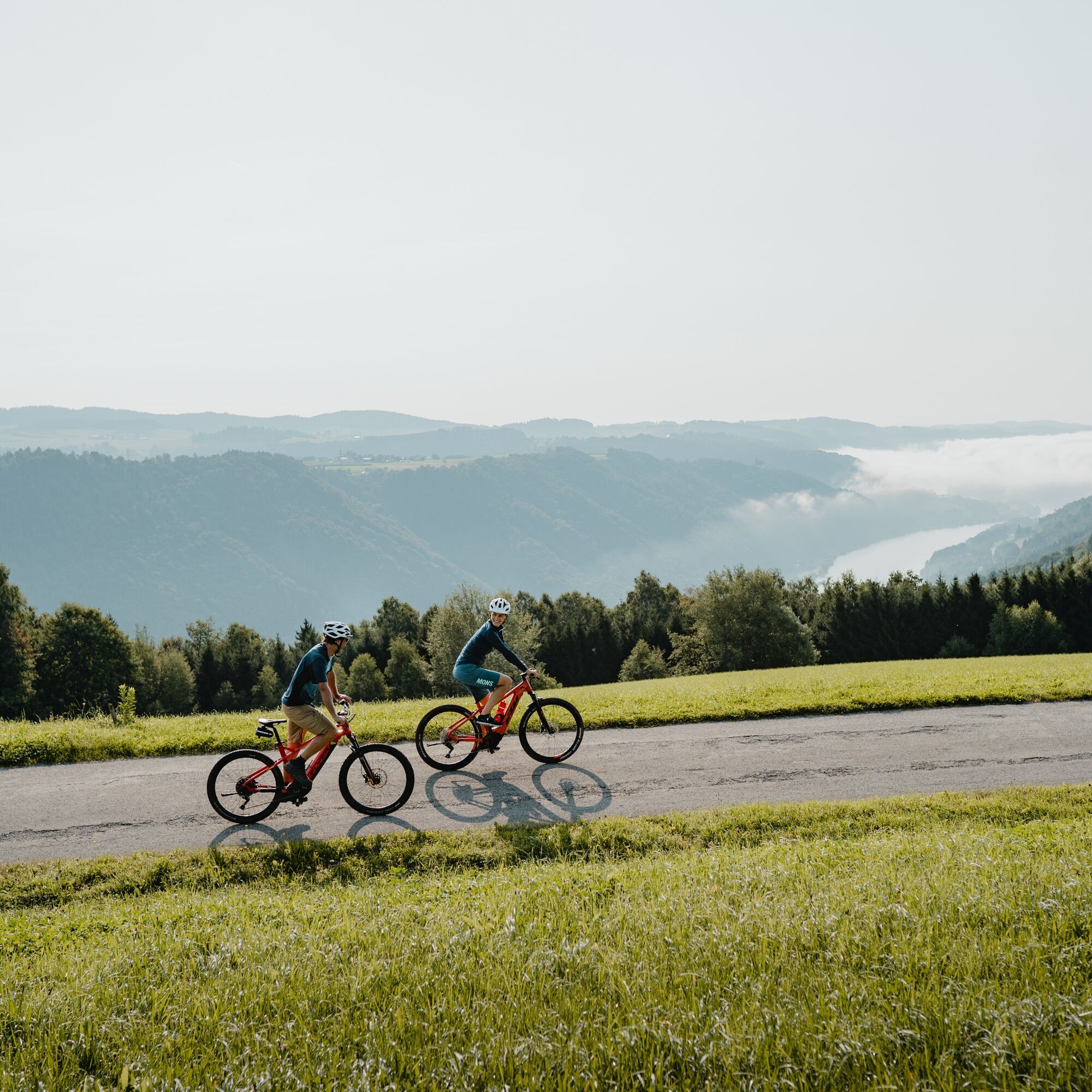
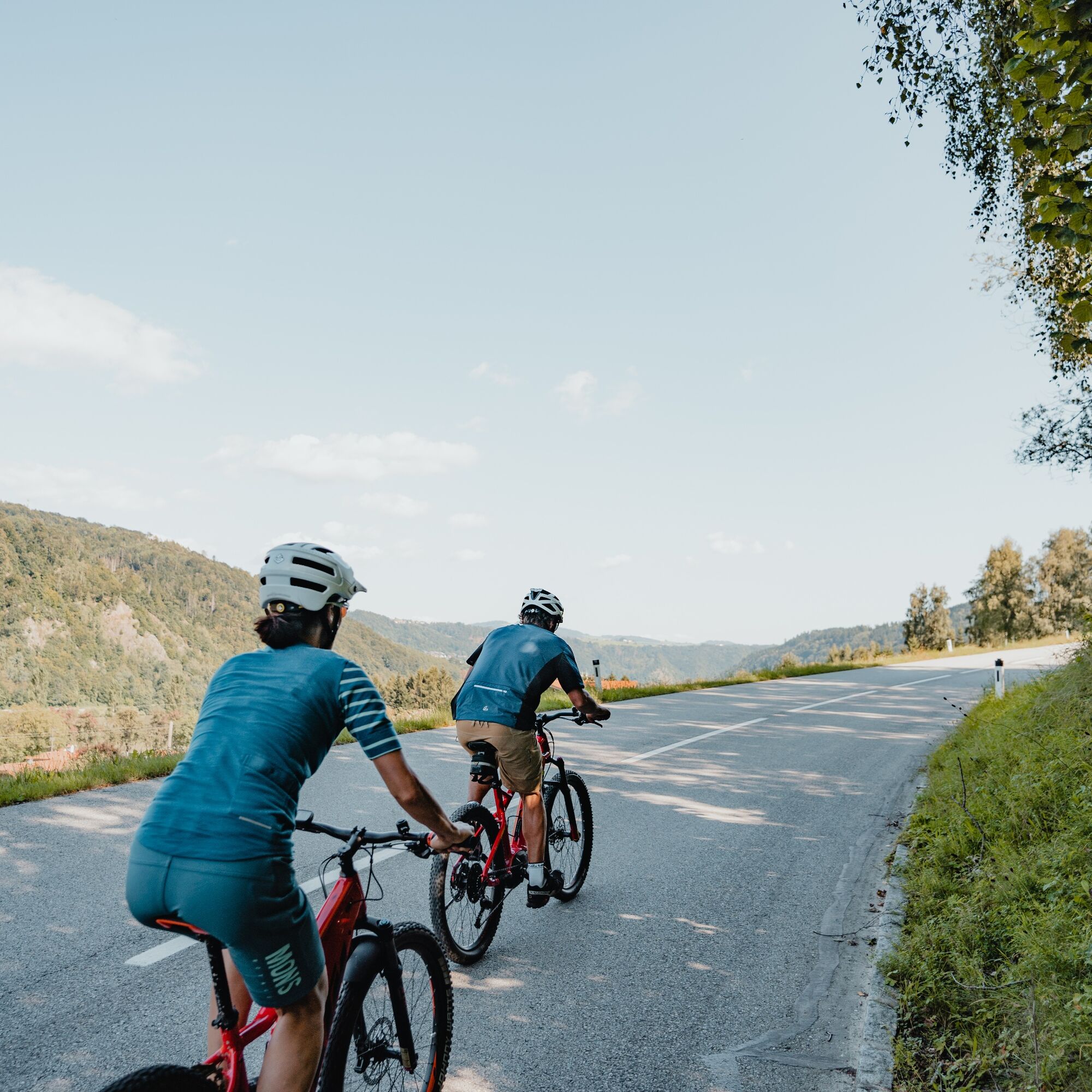
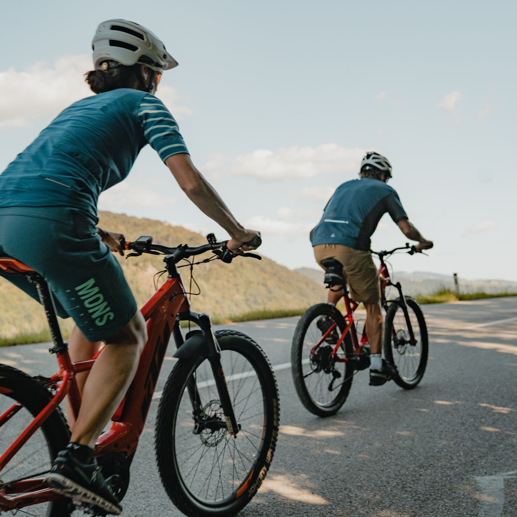
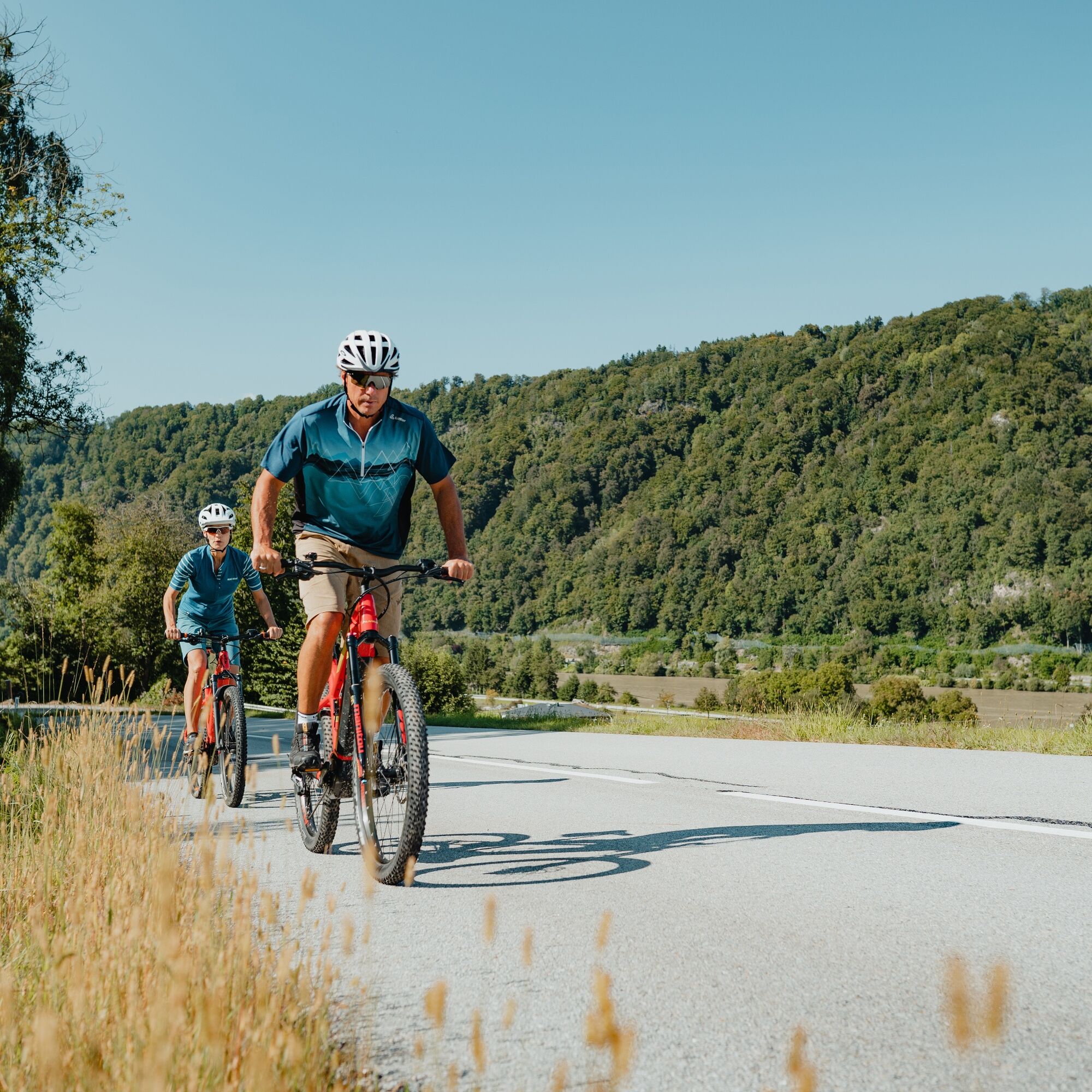
The Upper Danube Valley – about 90 km long, up to 300 m deep, home to the largest near-natural gorge and slope mixed forests in Central Europe... On this sporty cycling round, you pedal through the narrow...
The Upper Danube Valley – about 90 km long, up to 300 m deep, home to the largest near-natural gorge and slope mixed forests in Central Europe... On this sporty cycling round, you pedal through the narrow valley floor along the Danube river upstream and return over its roof on the magnificent Sauwald Panorama Road. With a 3 km descent into the Danube gorge.
Highlights:
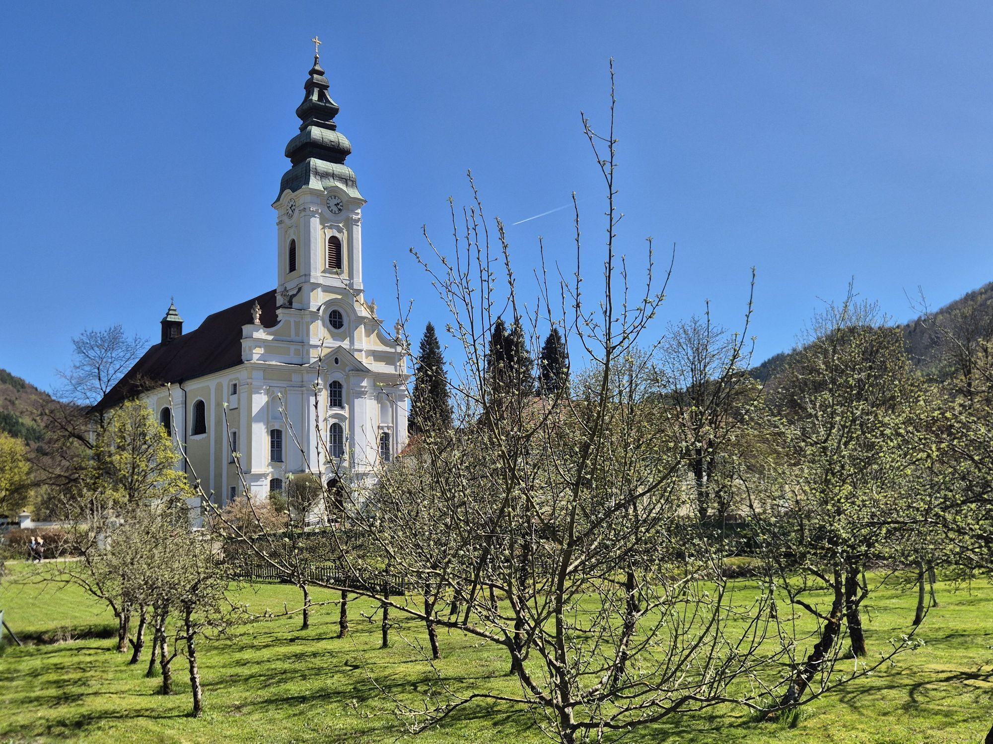
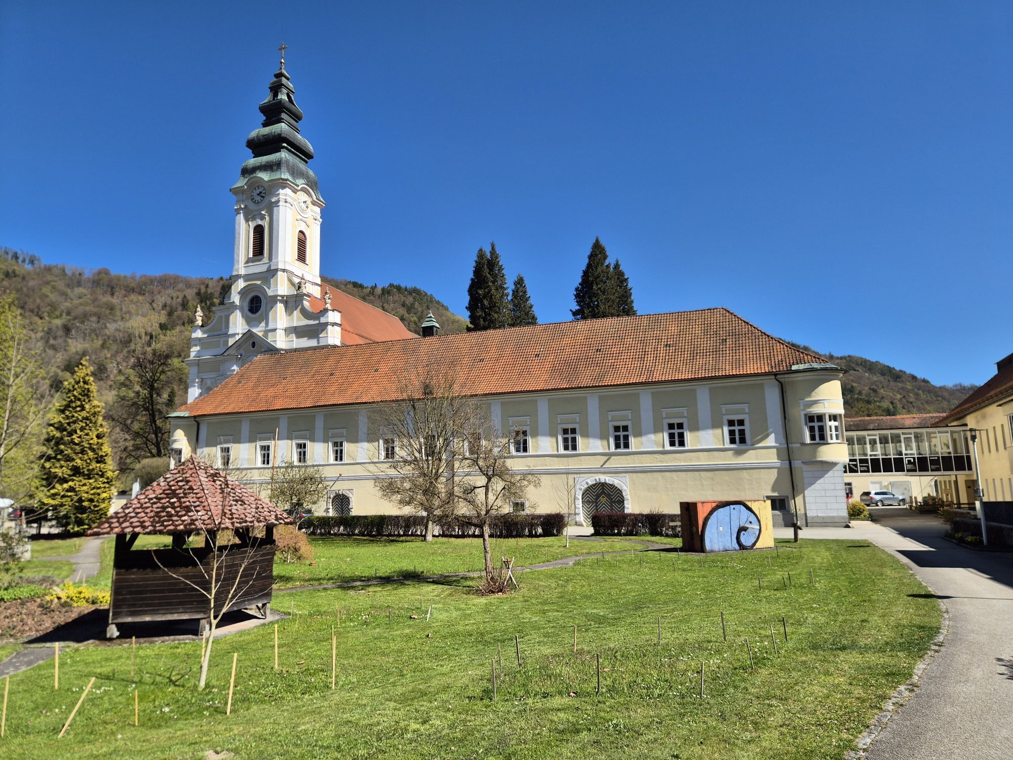
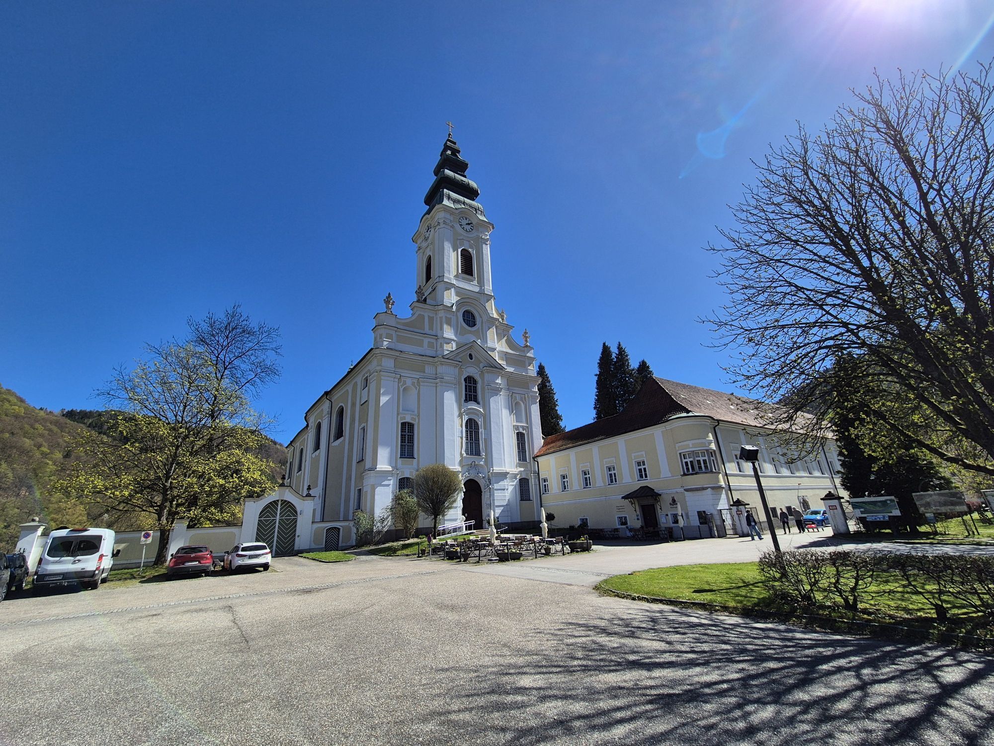
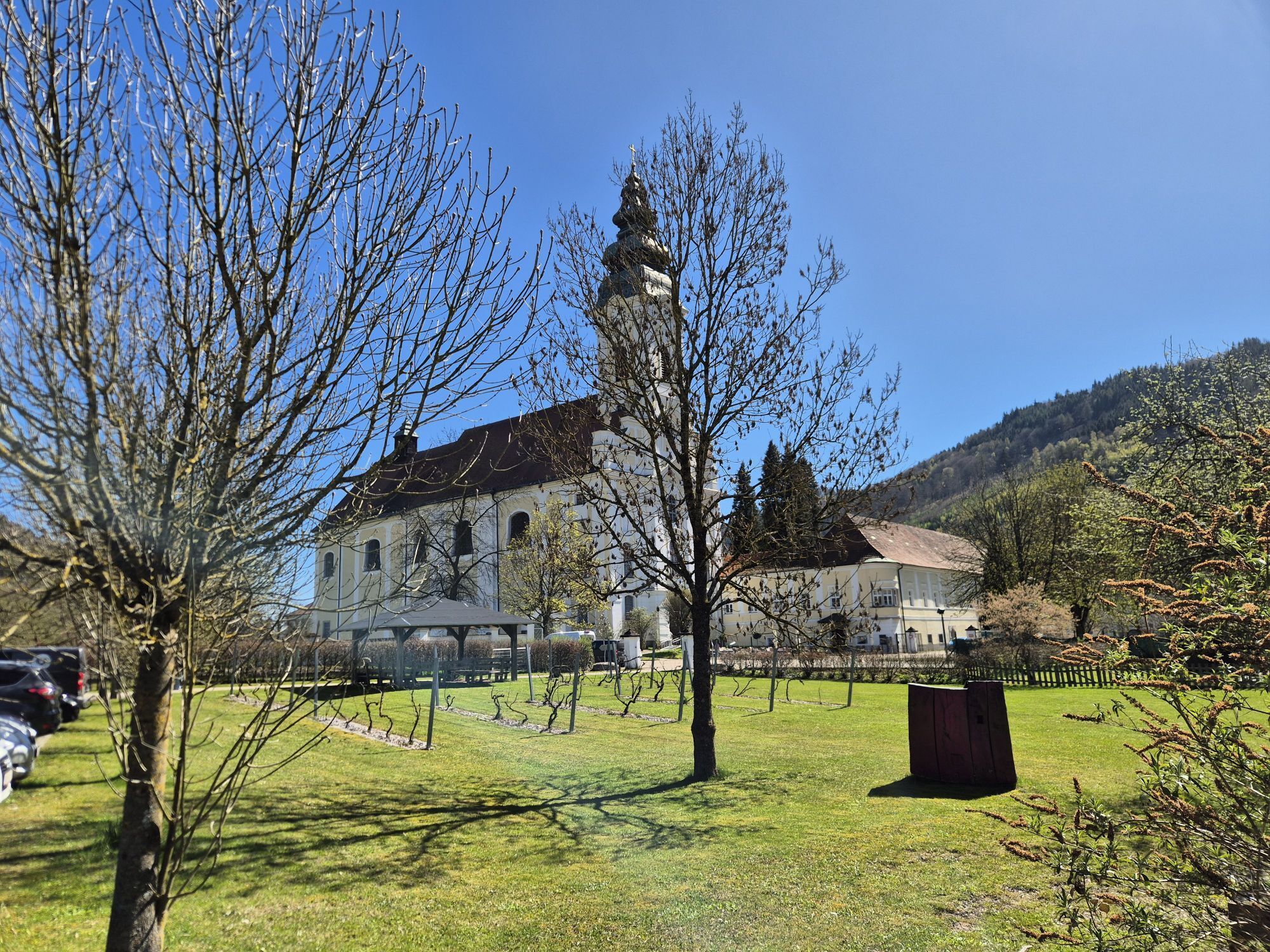
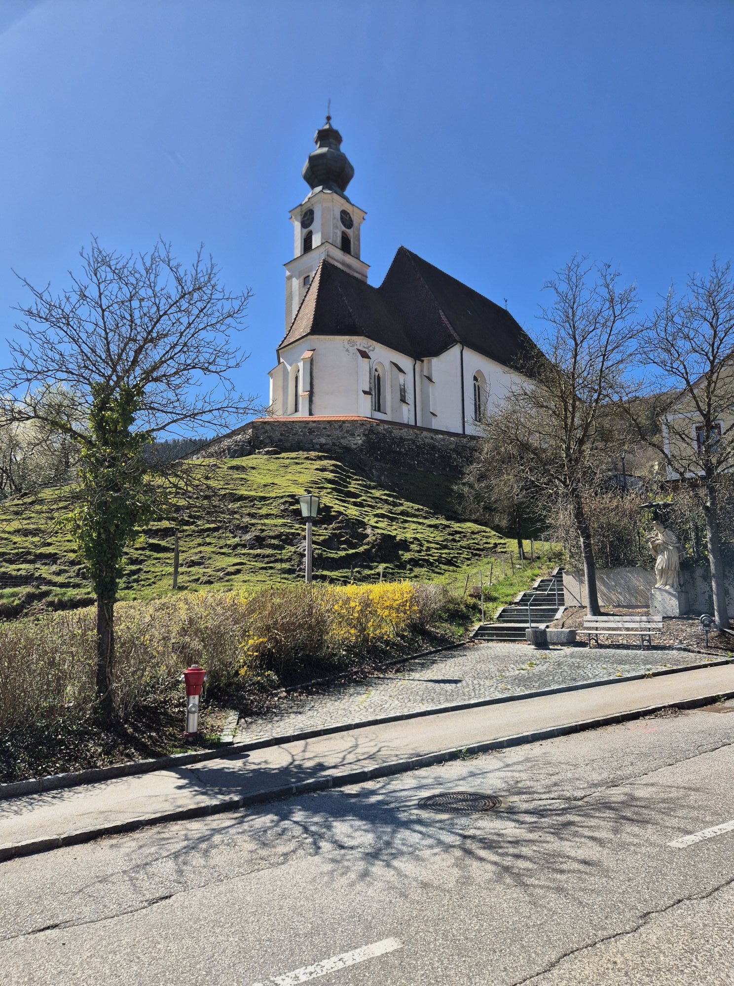
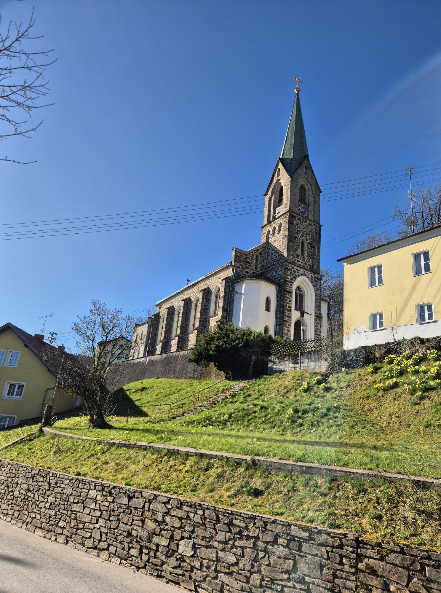
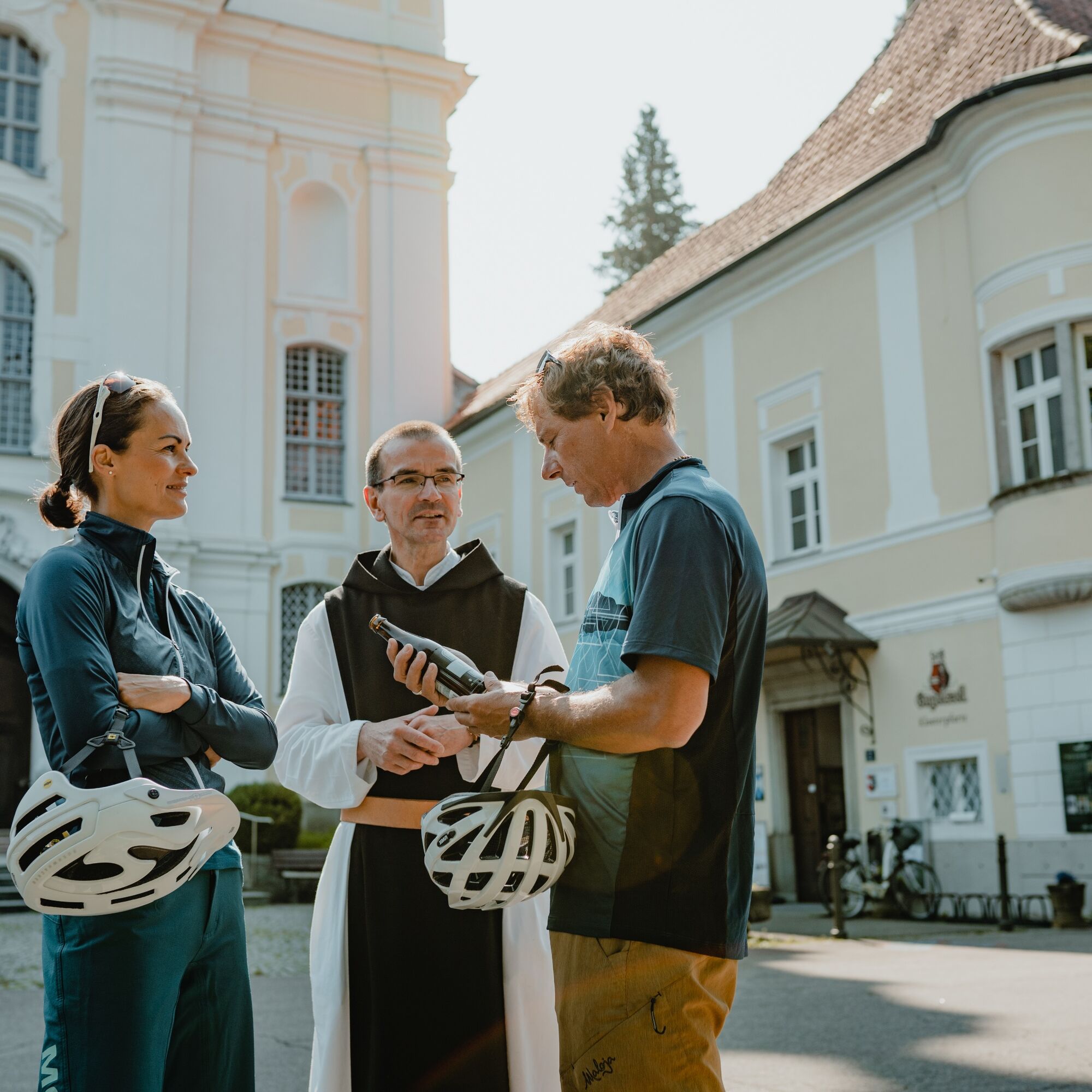
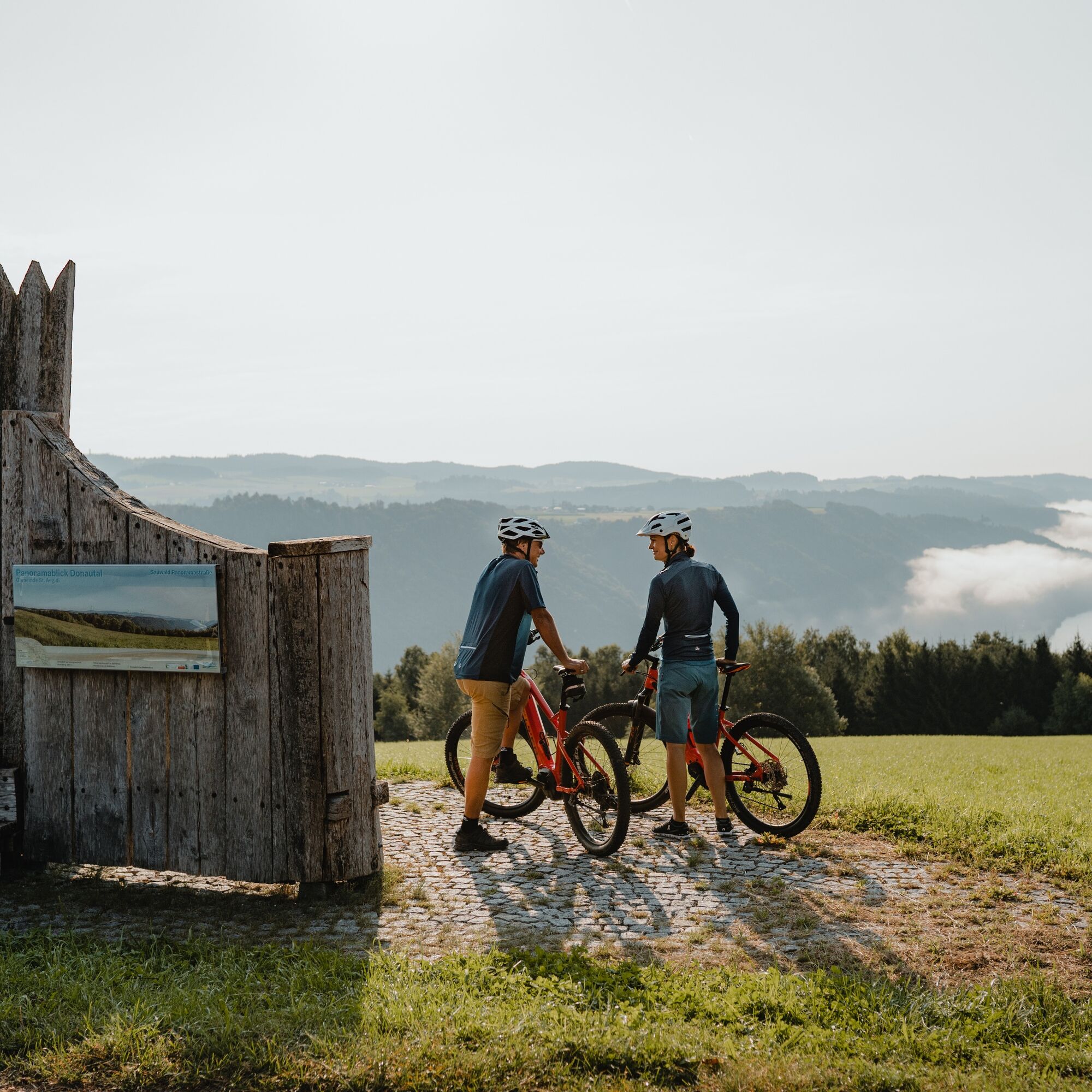
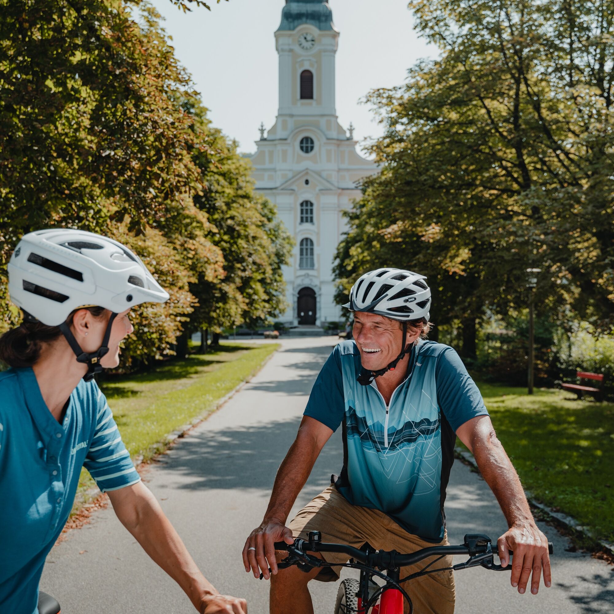
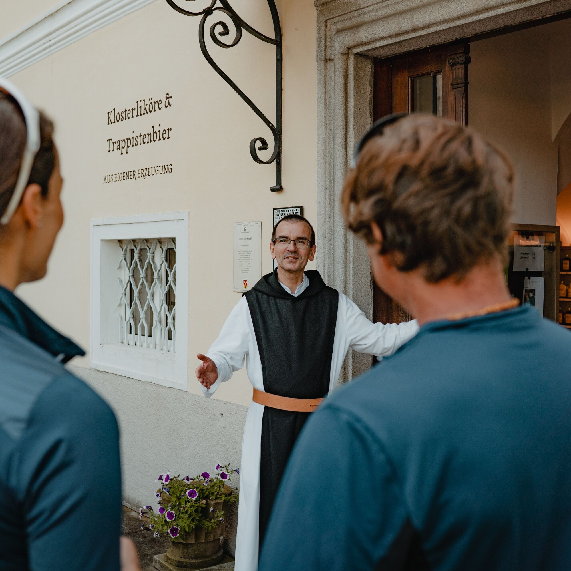
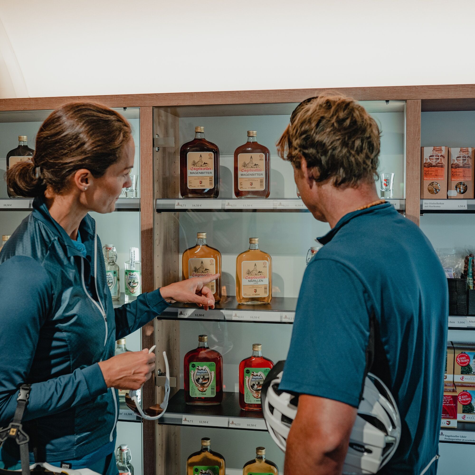
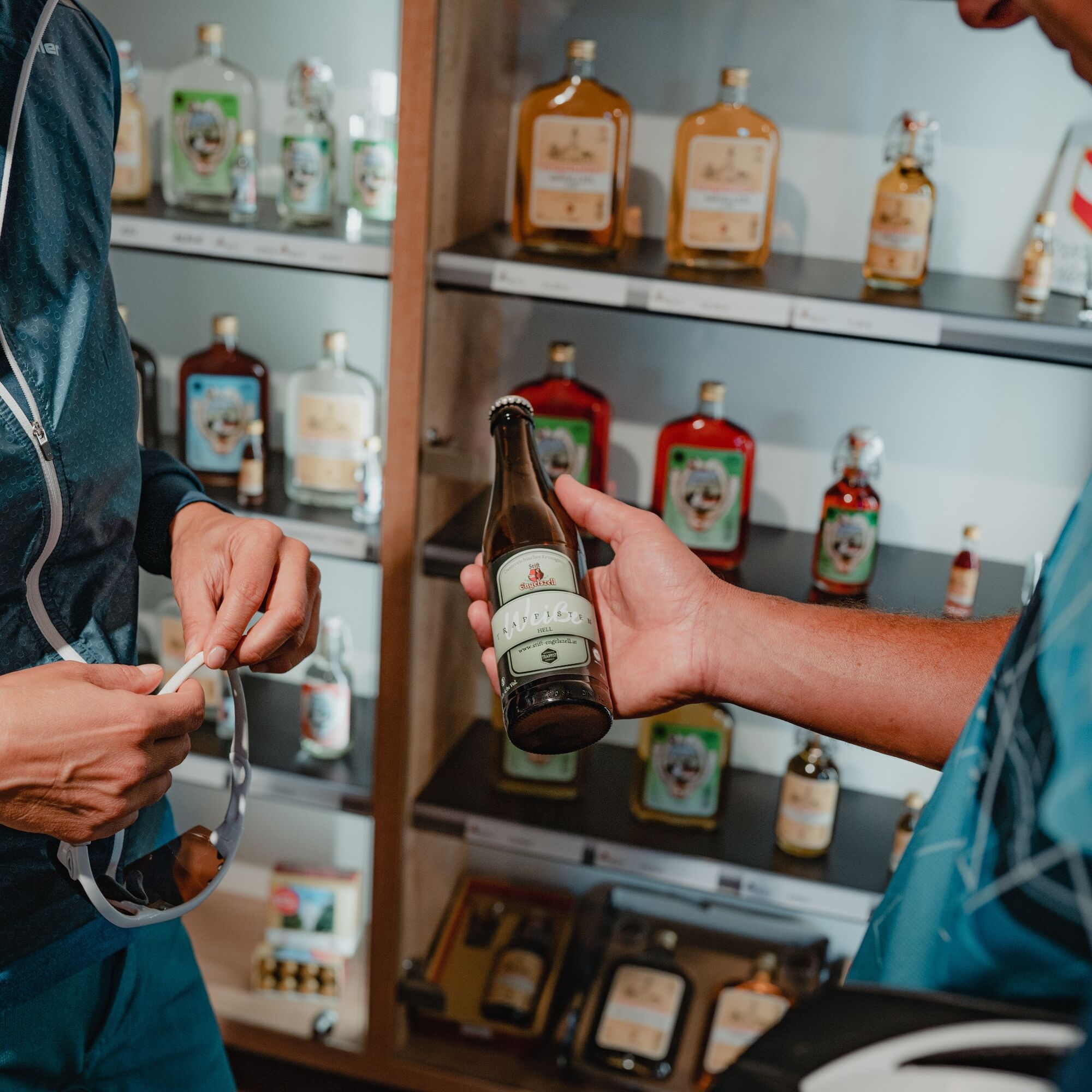
Engelszell Abbey (Abbey church is a Rococo jewel) Engelhartszell Danube World (large aquarium, sensory garden), Schütz Art Museum ... UNESCO World Heritage Site "Kleincastell Oberranna" Vichtenstein Castle Vichtenstein Parish Church (miraculous Madonna figure) St. Aegidi Trout Circus
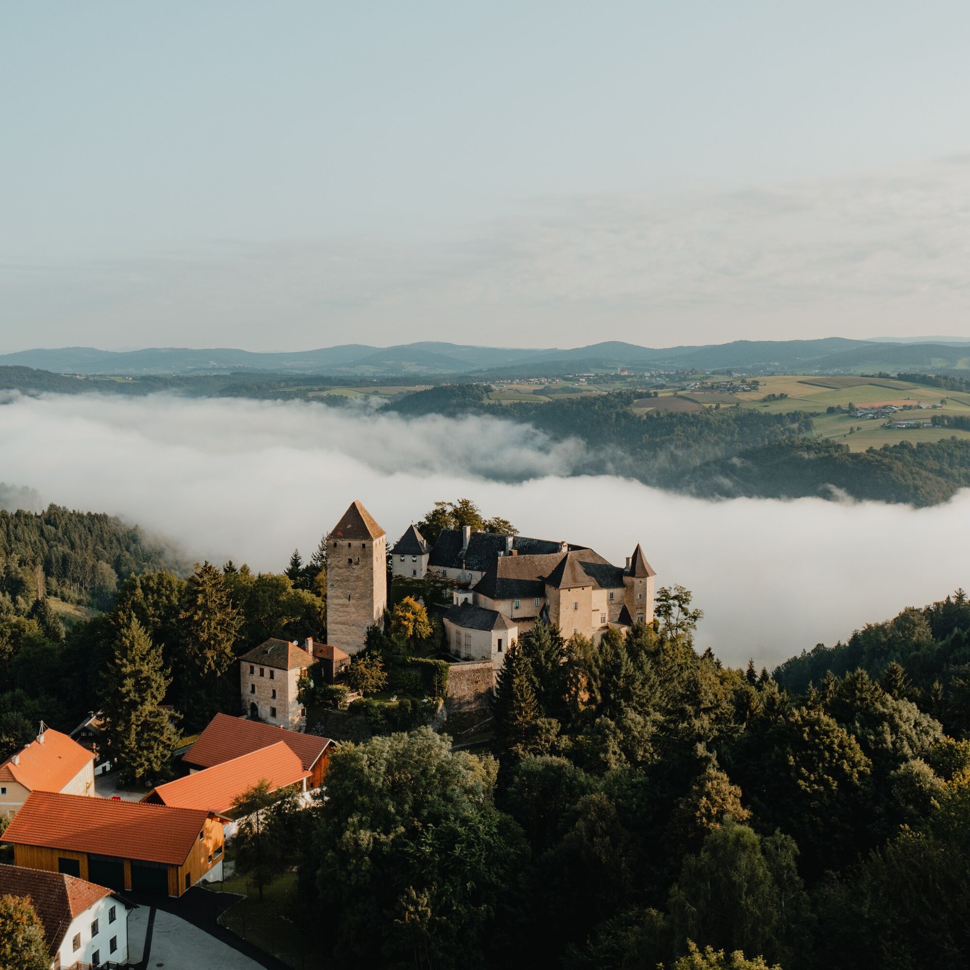
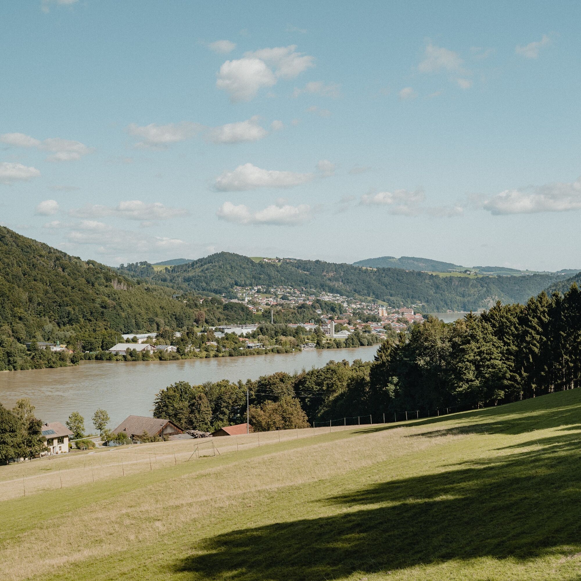
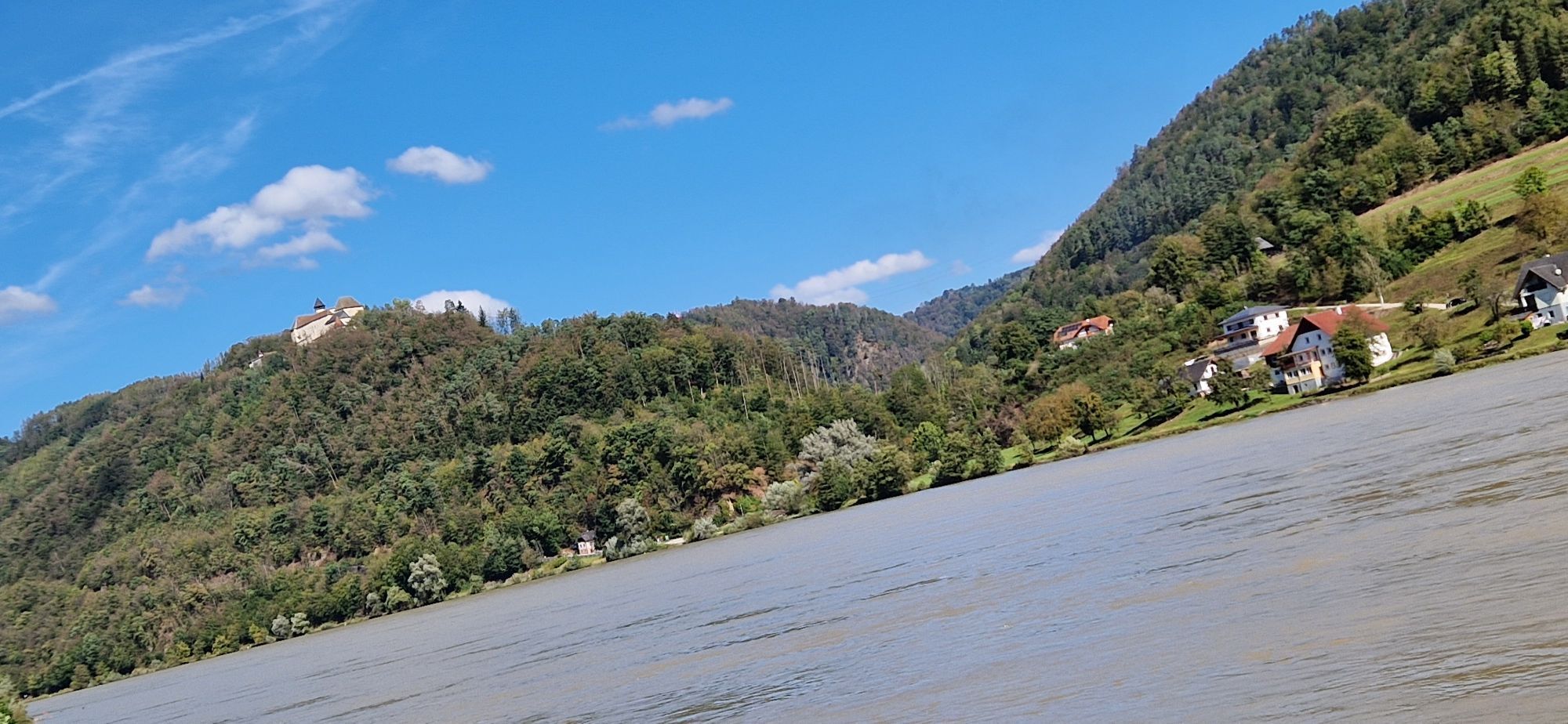
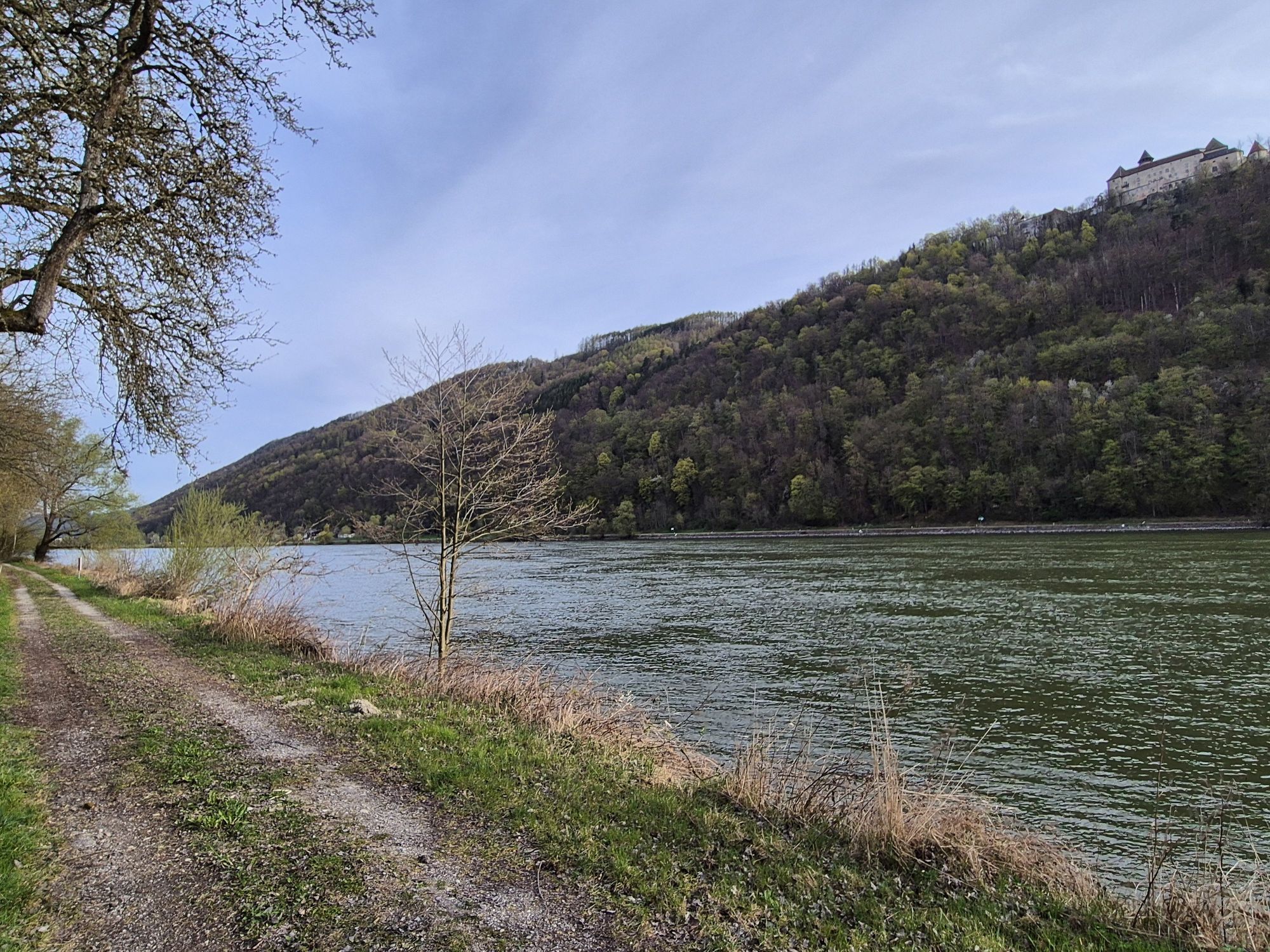
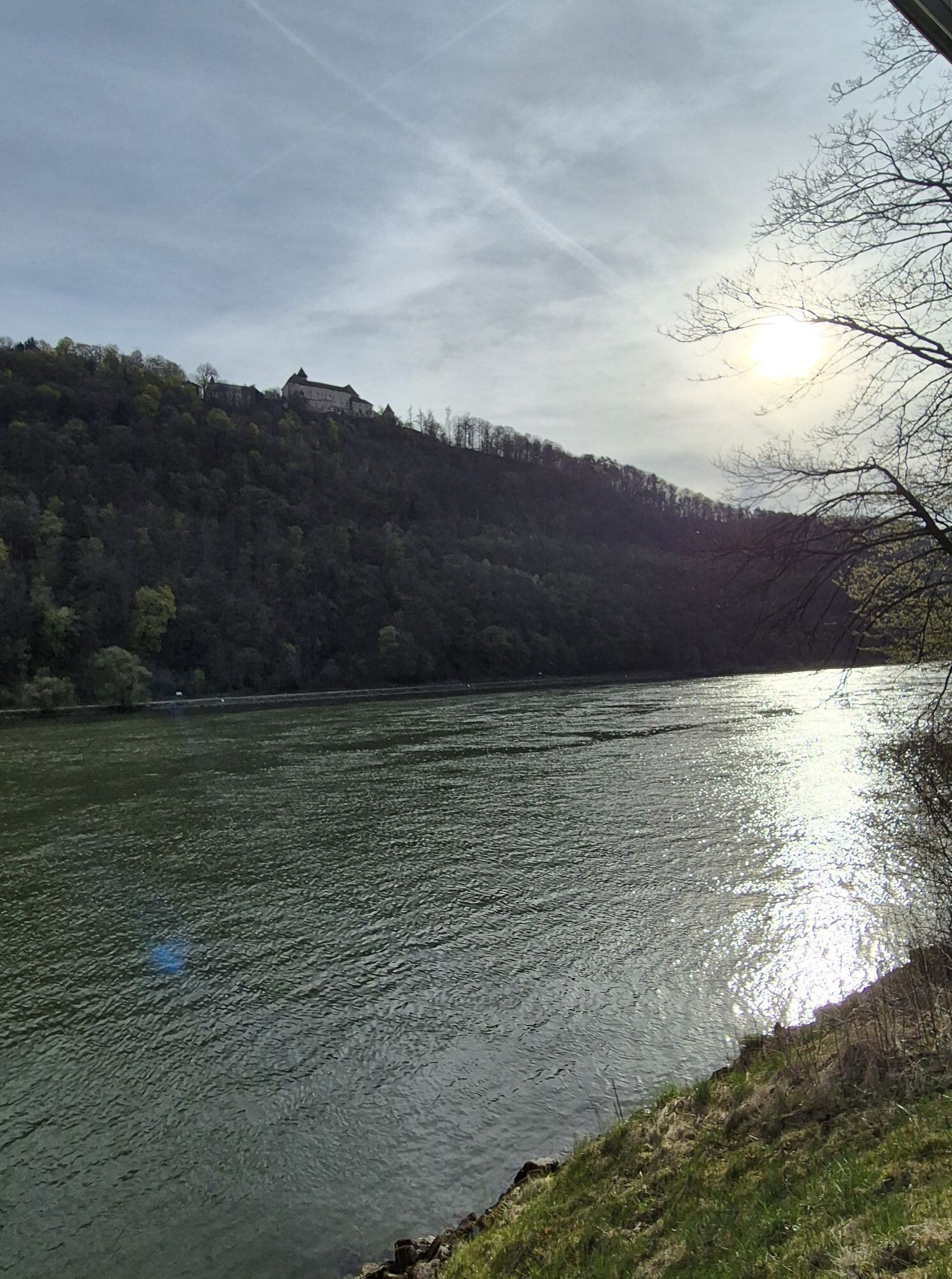
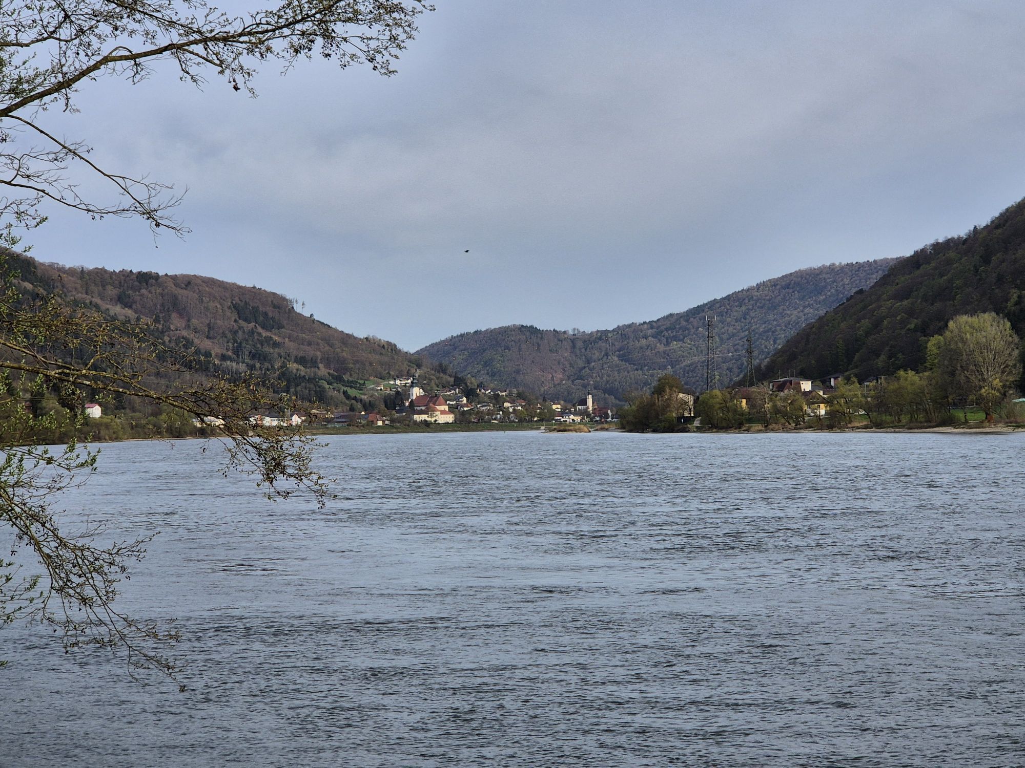
The Upper Danube Valley – The Danube flows for about 90 km between Hofkirchen in Bavaria and Aschach in Upper Austria through one of its longest breakthrough valleys. East of Passau, this is also the deepest Danube gorge, with depths of up to 300 m. In the inaccessible valley sides, the last large near-natural gorge and slope mixed forests of Central Europe have survived. A natural treasure that is now protected by the European protected area "Upper Danube and Aschach Valley."
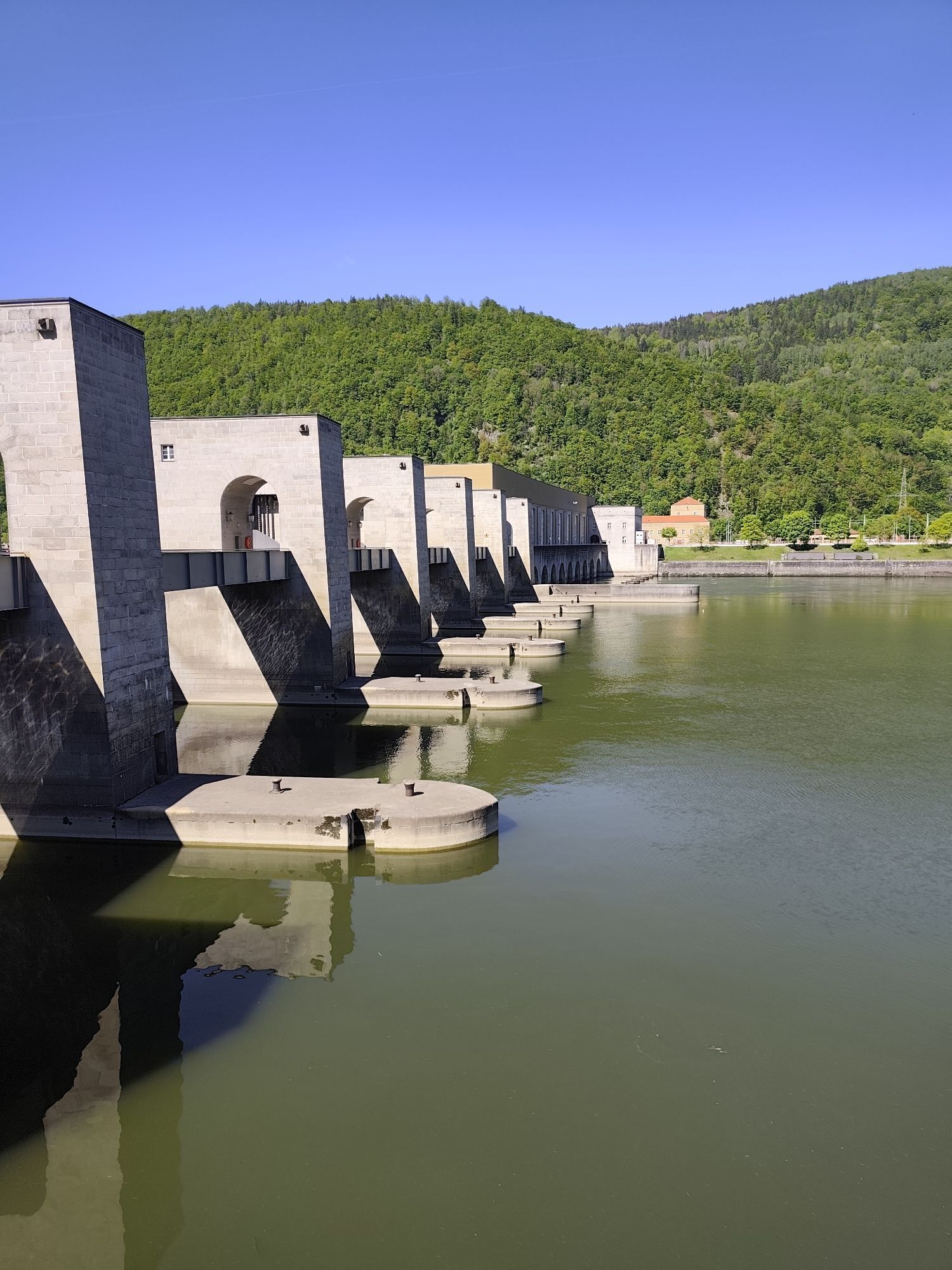
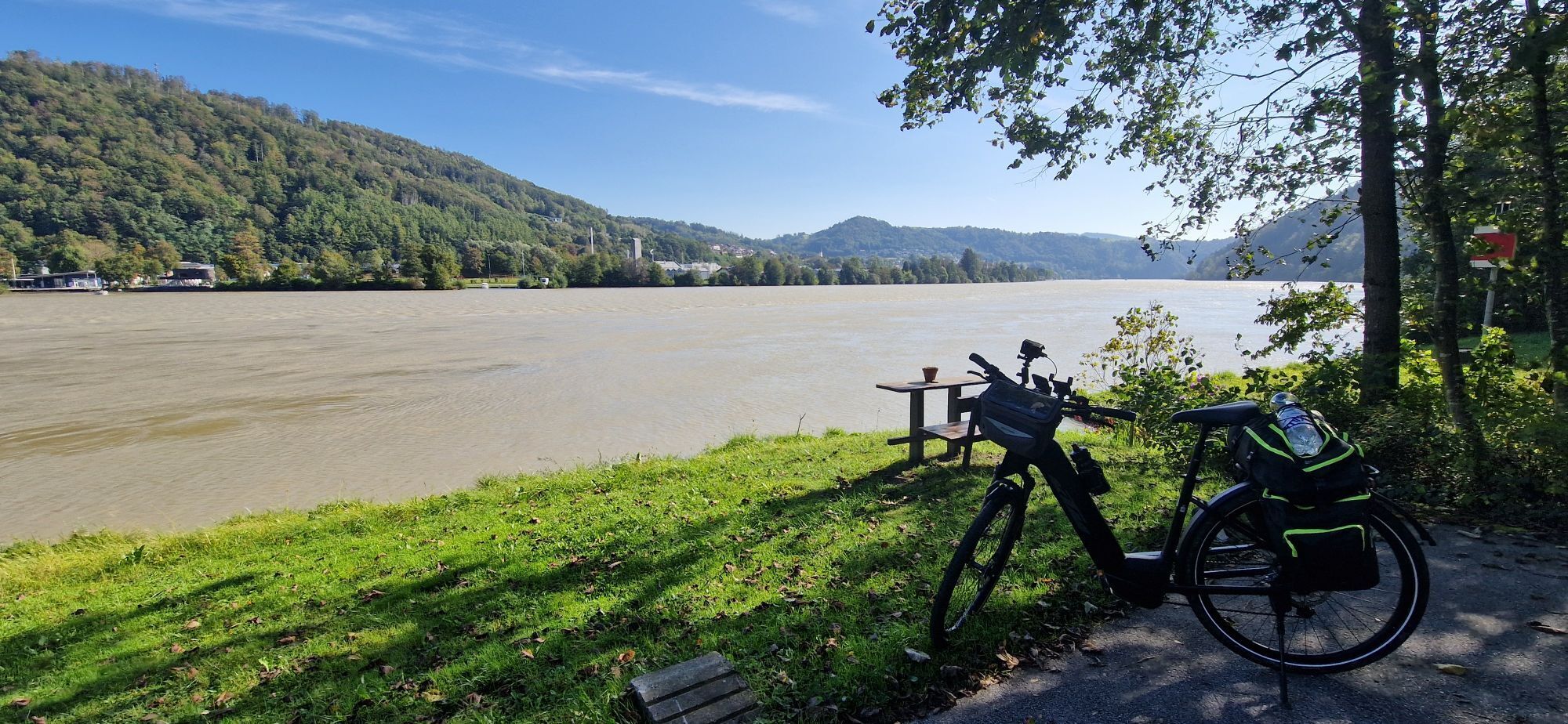
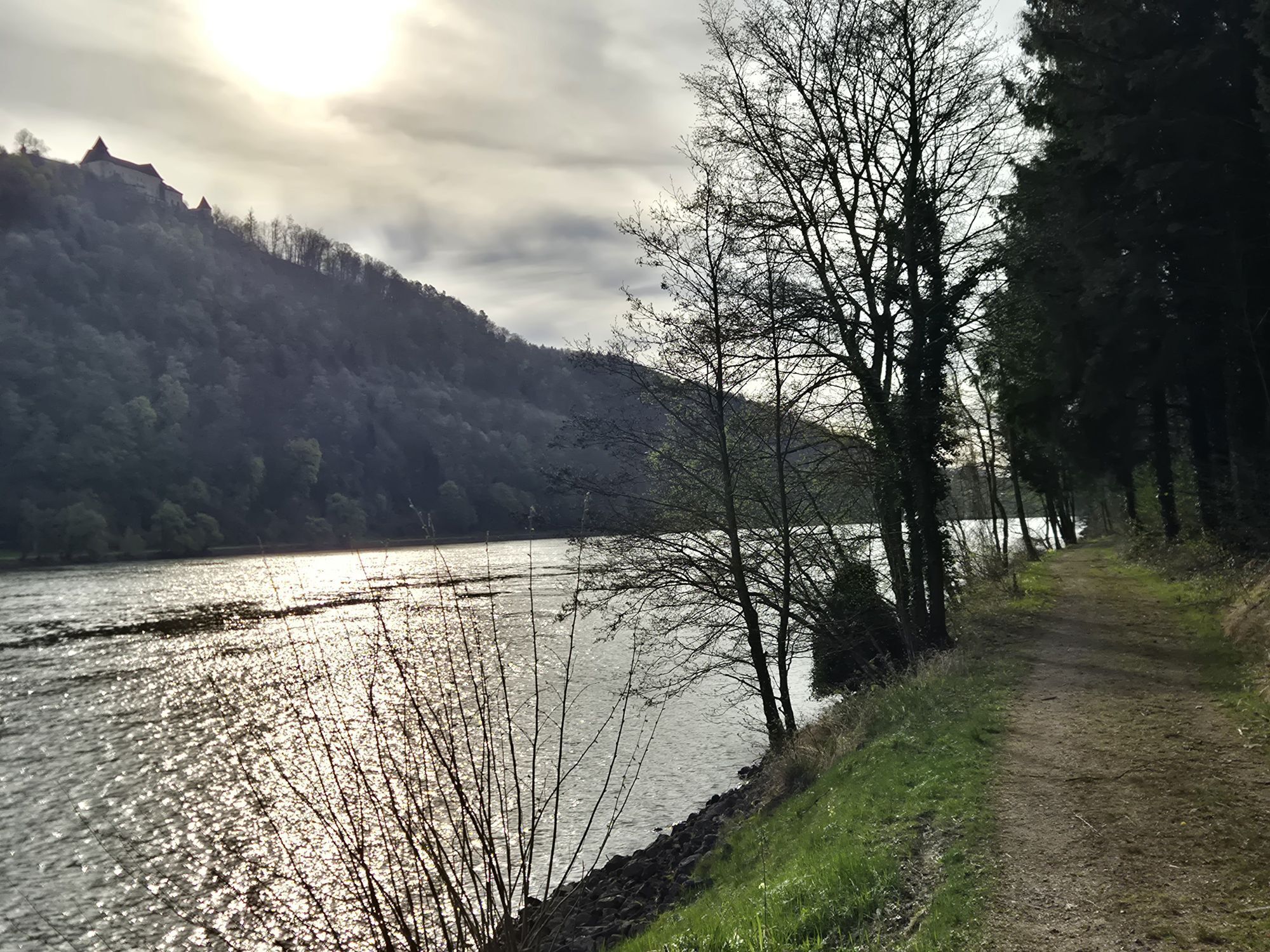
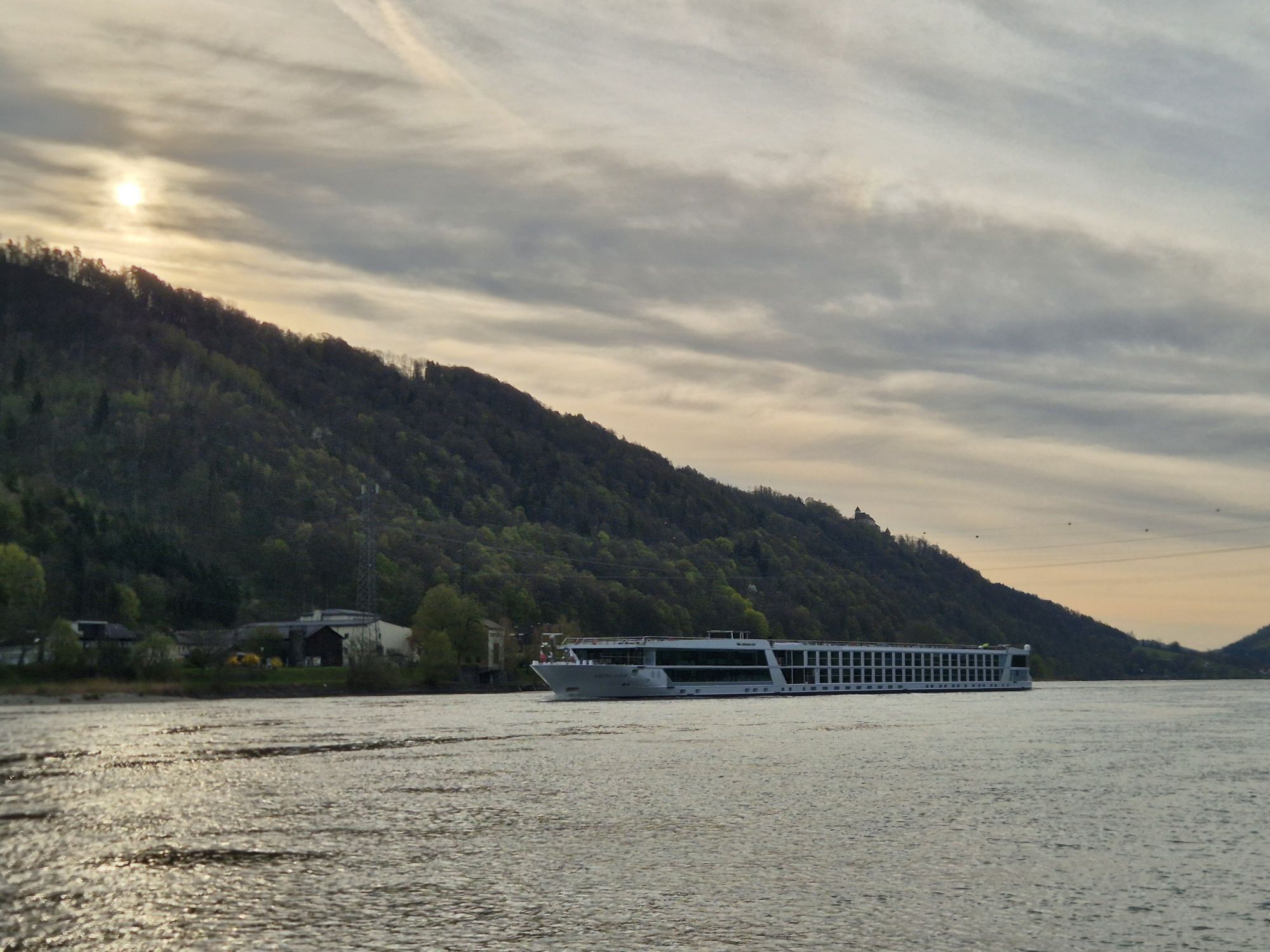
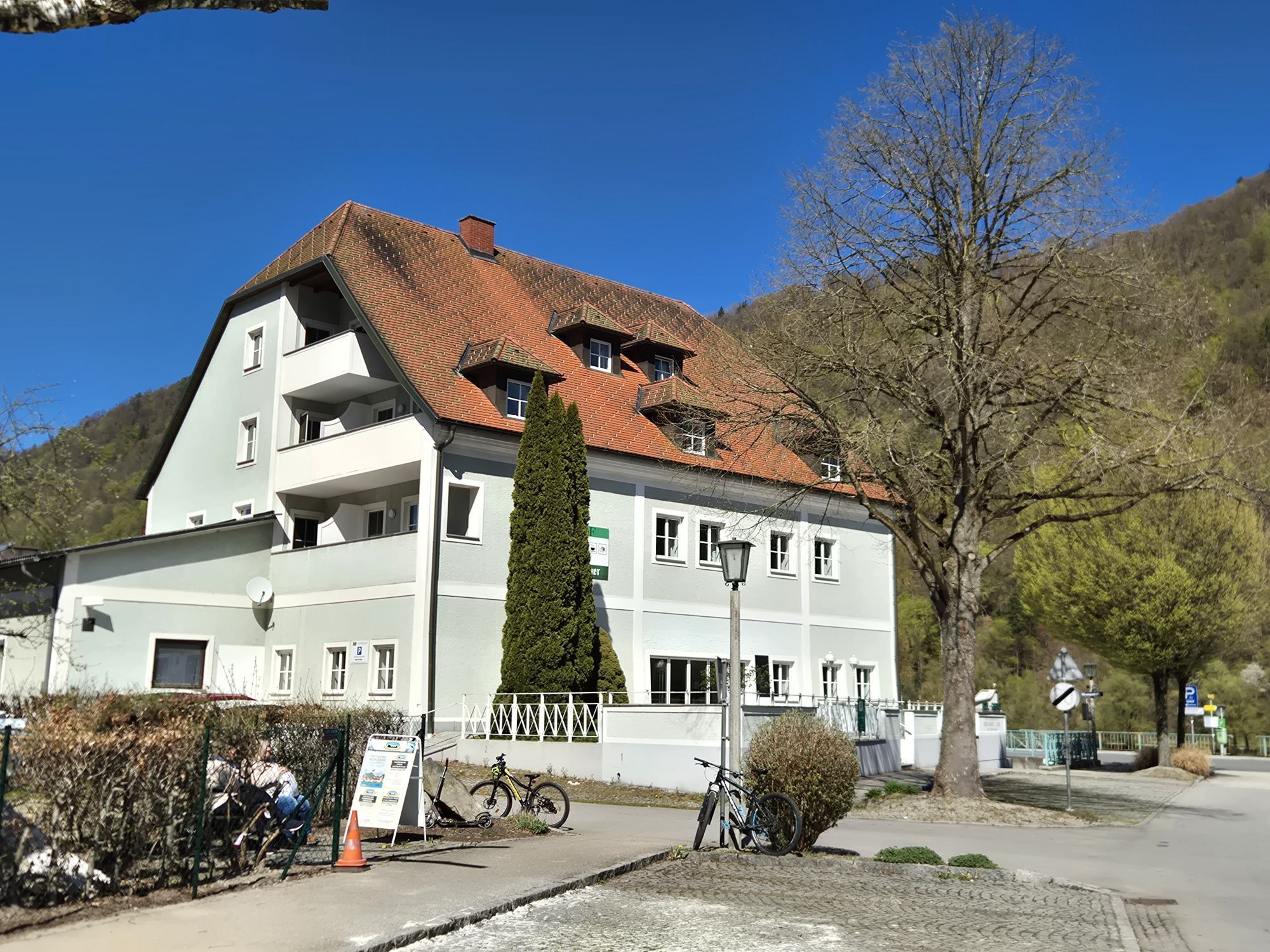
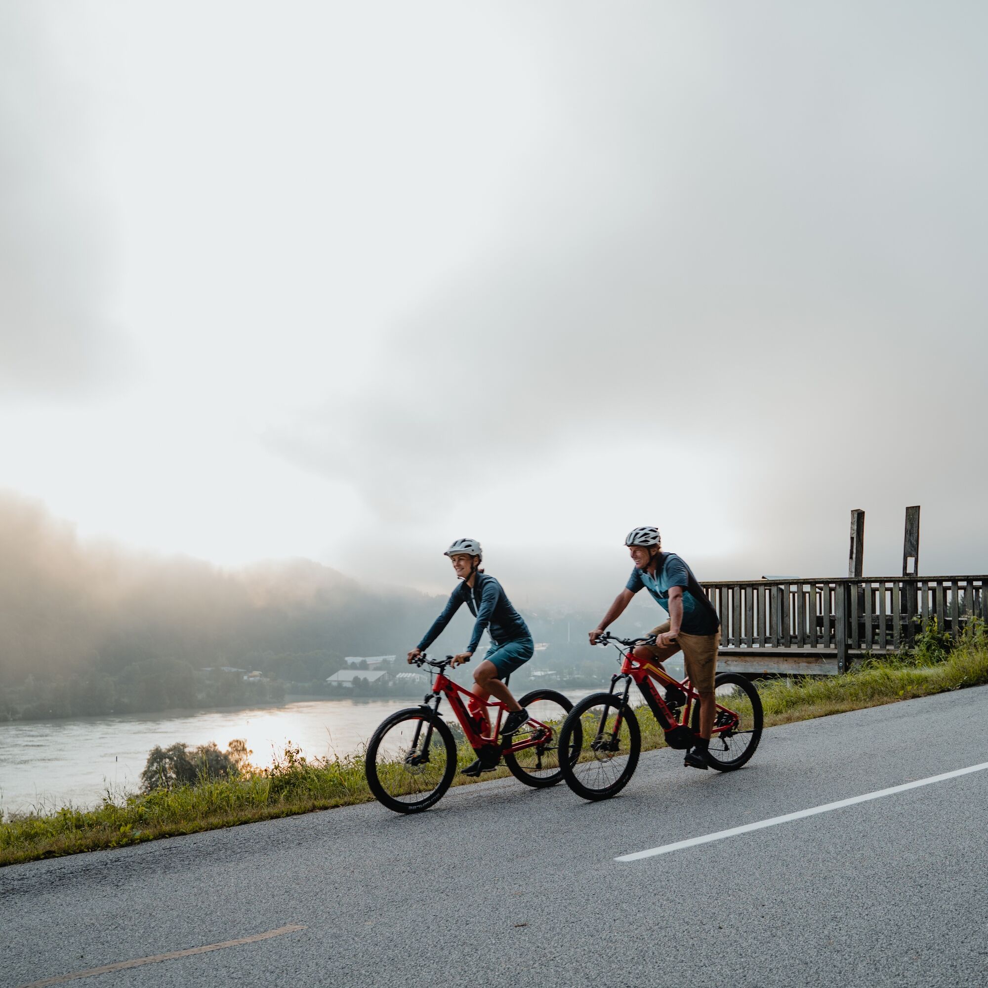
The starting point is located on an alluvial plain – Wesenufer. Today unremarkable, the charming Danube village once held special significance: ferry, market rights... and Niederwesen Castle (= today Hotel Wesenufer)! After the settlement area, the bank narrows and you cycle on the Nibelungen Road through the mixed forest of the valley flank – with a brief uphill section – to Oberranna. The UNESCO World Heritage Site "Kleincastell Oberranna" here brings the life on the famous Danube limes back to life. Afterwards, a beautiful bike path accompanies the Nibelungen Road through the forest slope – with another uphill section – to Saag. On side roads, you now cycle along the edge of the rural alluvial plain to the magnificent Engelszell Abbey – a Danube highlight! The world-famous abbey church counts among Austria’s purest Rococo jewels and surprises with a modern ceiling fresco. In Engelhartszell, a short detour into the beautiful town center is worth it: it tells of prosperity as an imperial toll station and merges with the sites of the Engelhartszell Danube World into an experience world “Danube”! At the end of the village, the bank narrows again. Now begins the finest pleasure river cycling: You pedal almost level on the legendary towpath beside the Danube through the forest gorge. The hum of the tires, a cooling breeze, the ship traffic... Just below the Jochenstein power plant, a small rock island with a cross rises from the waves – the Jochenstein. According to legend, the mermaid Isa lives there and lures boatmen to their doom with her song. So watch out! About 2 km above the power plant, the pleasurable bike path again accompanies the Nibelungen Road – now directly on the Danube bank. In Kasten, there was an important ferry to Obernzell: here salt could be transported overland past the Passau toll station to Bohemia. The noteworthy small church and the house "Kasten 1" testify to this time. The rest of the village sank in the backwater of the Jochenstein power plant.
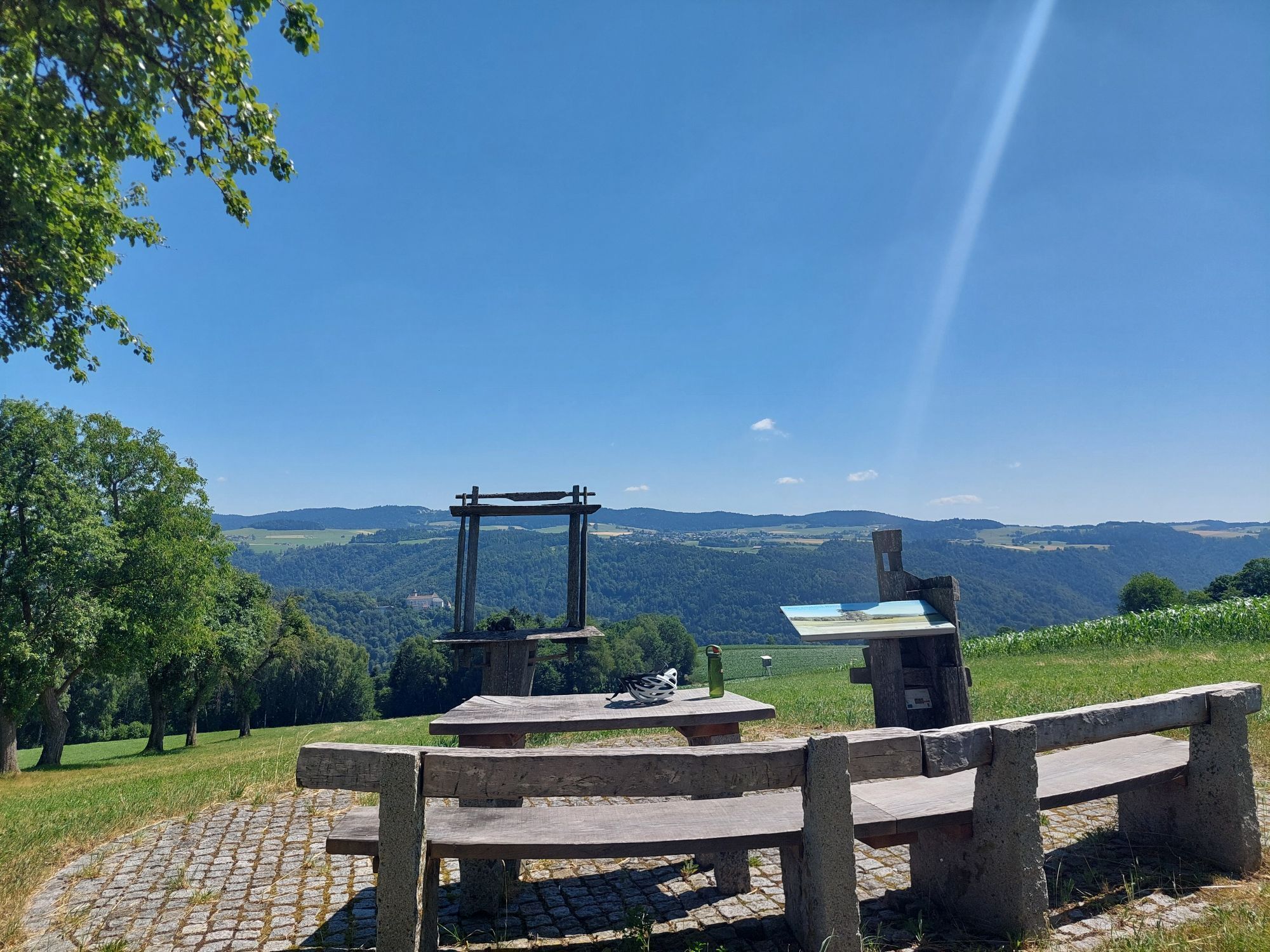
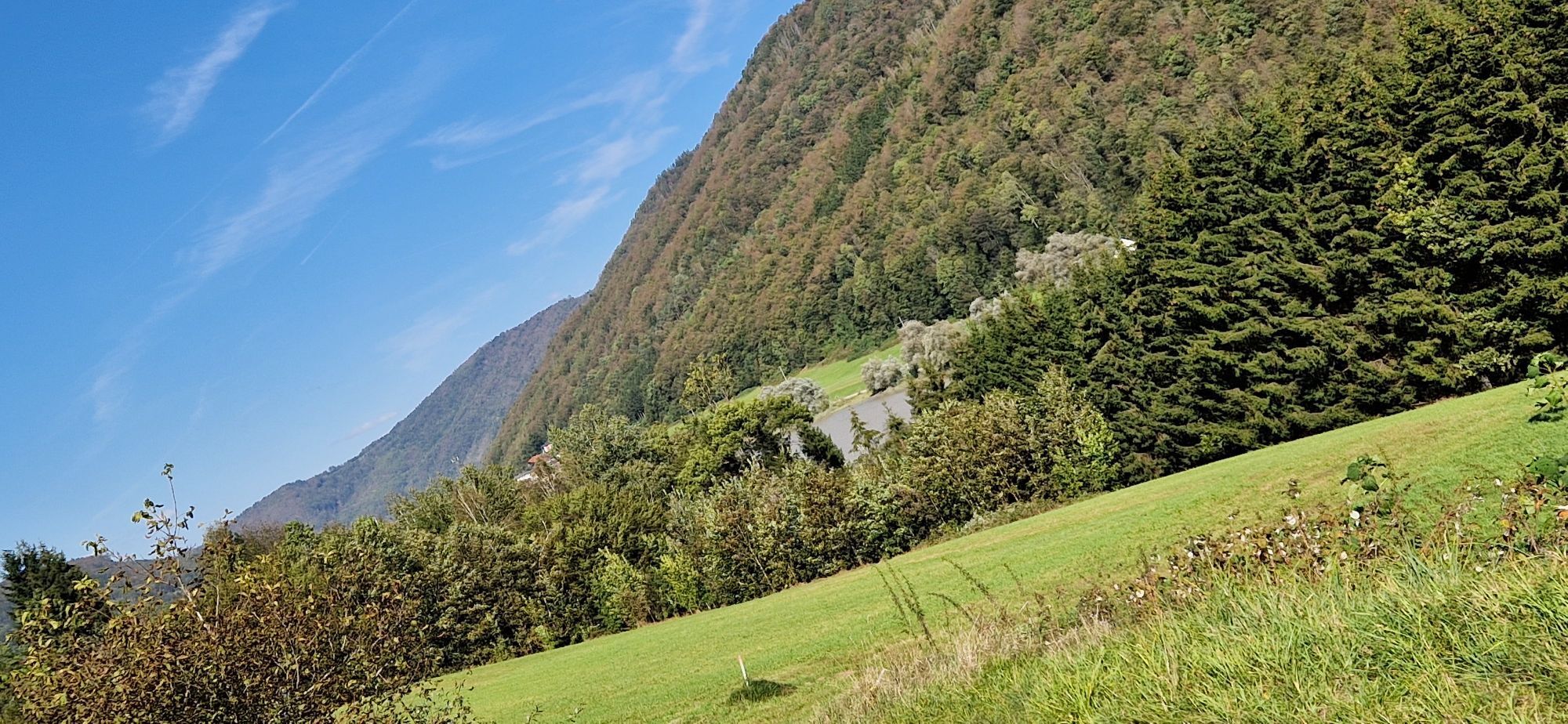
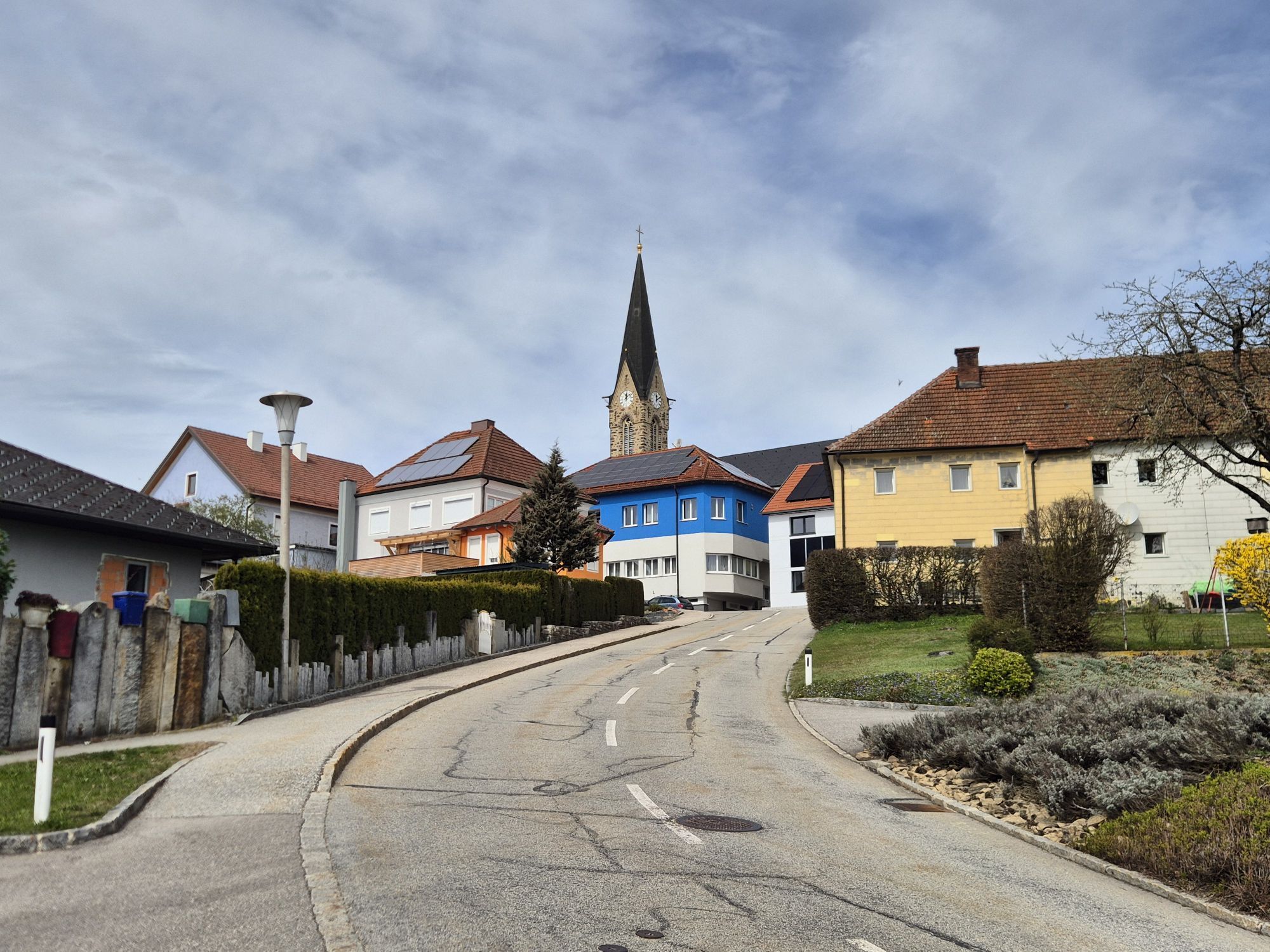
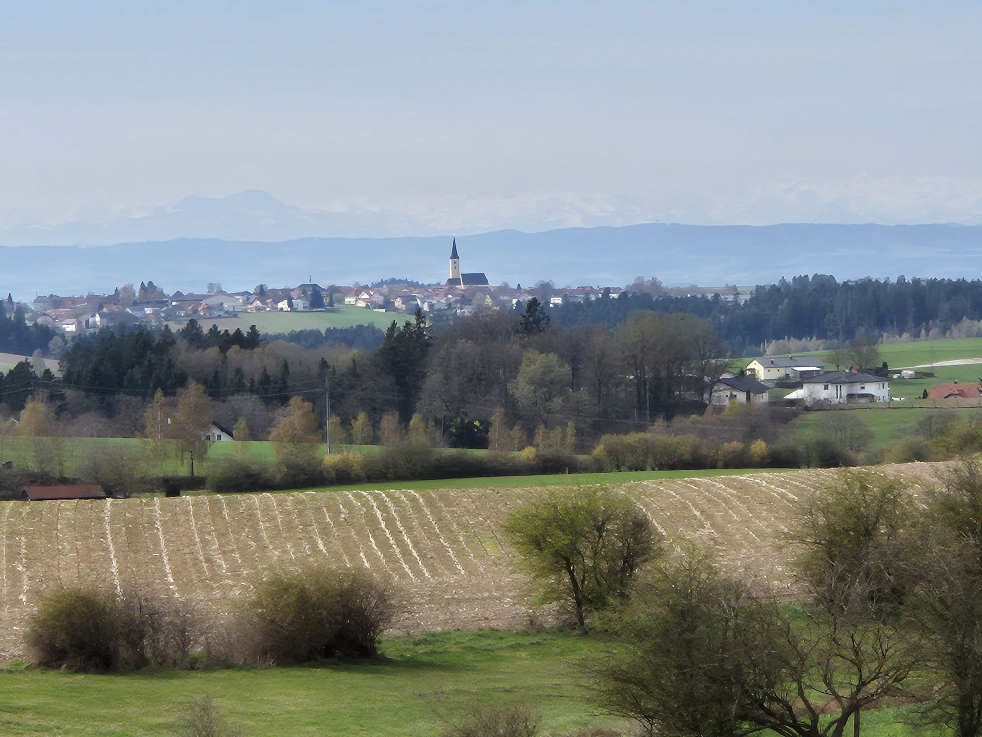
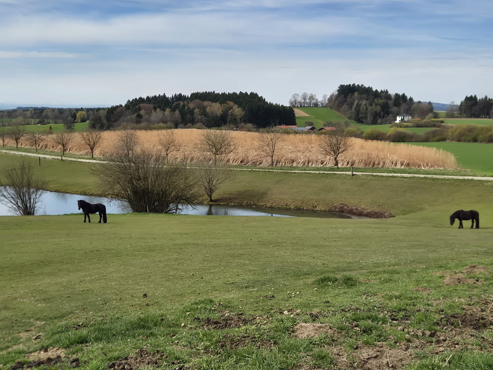
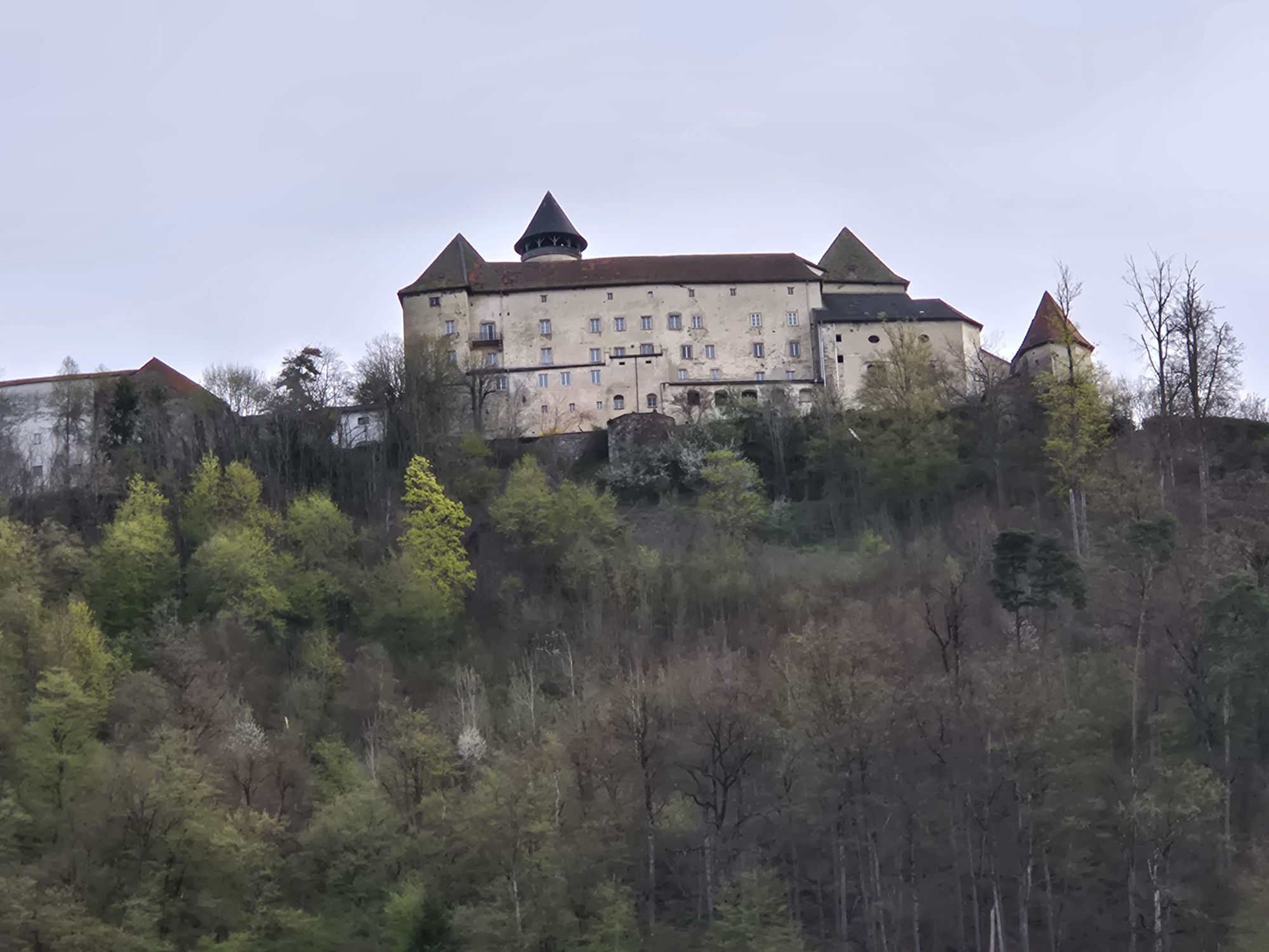
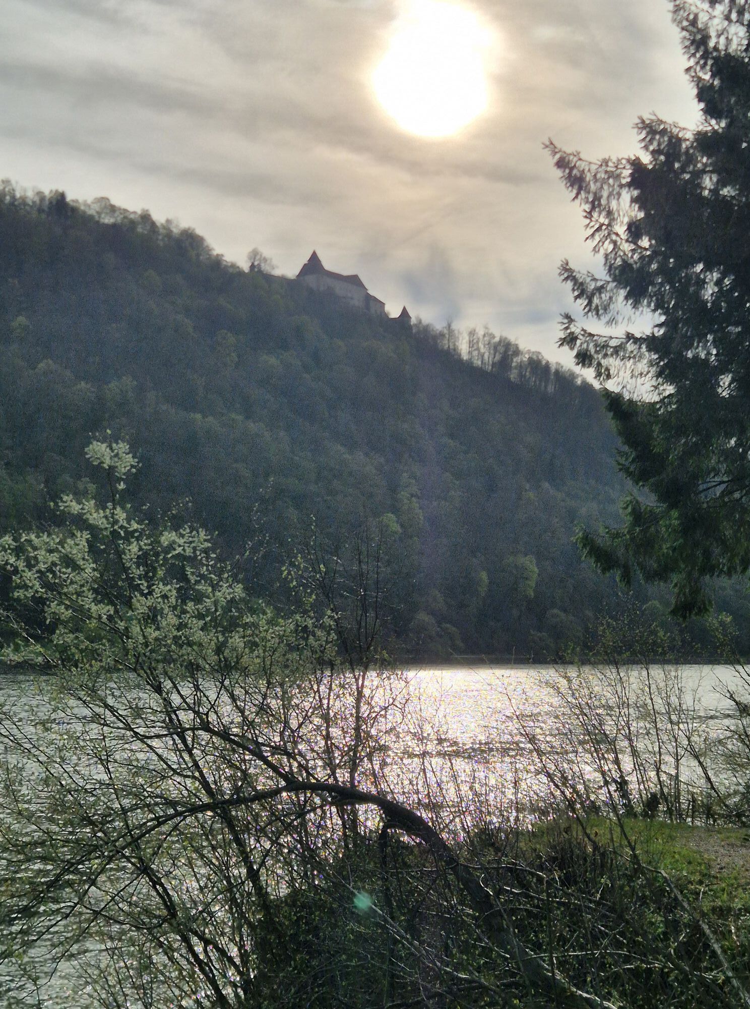
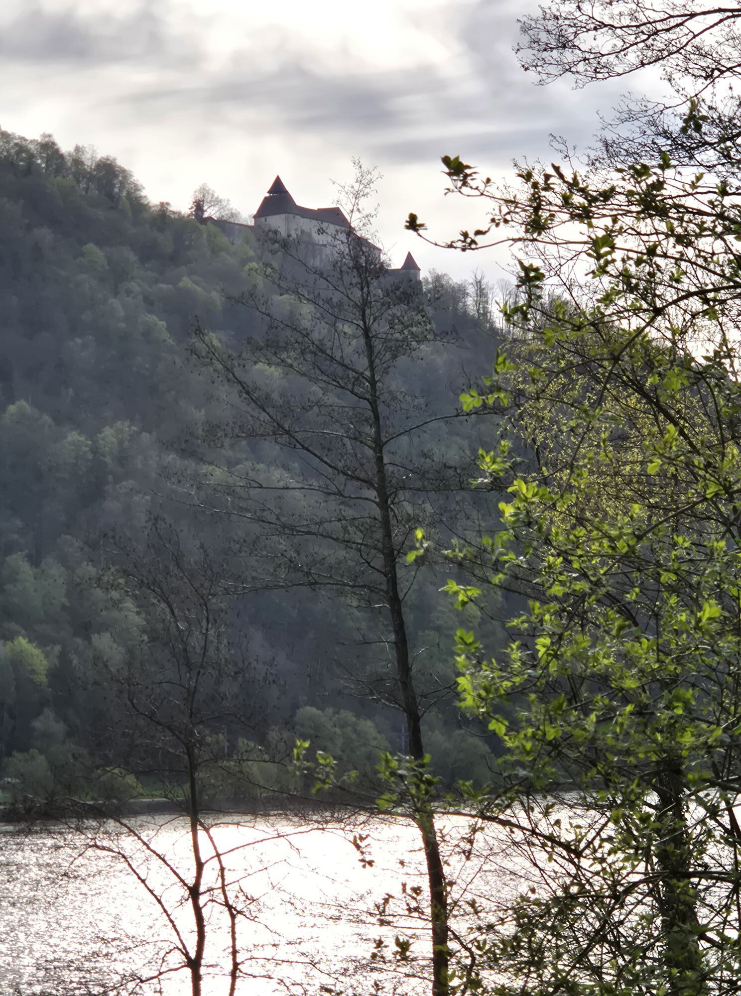
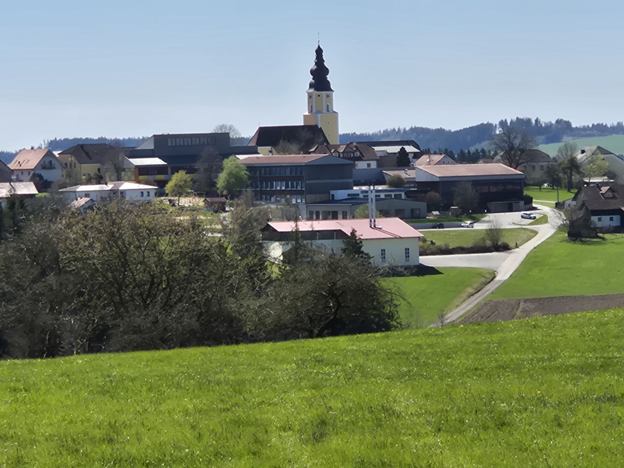
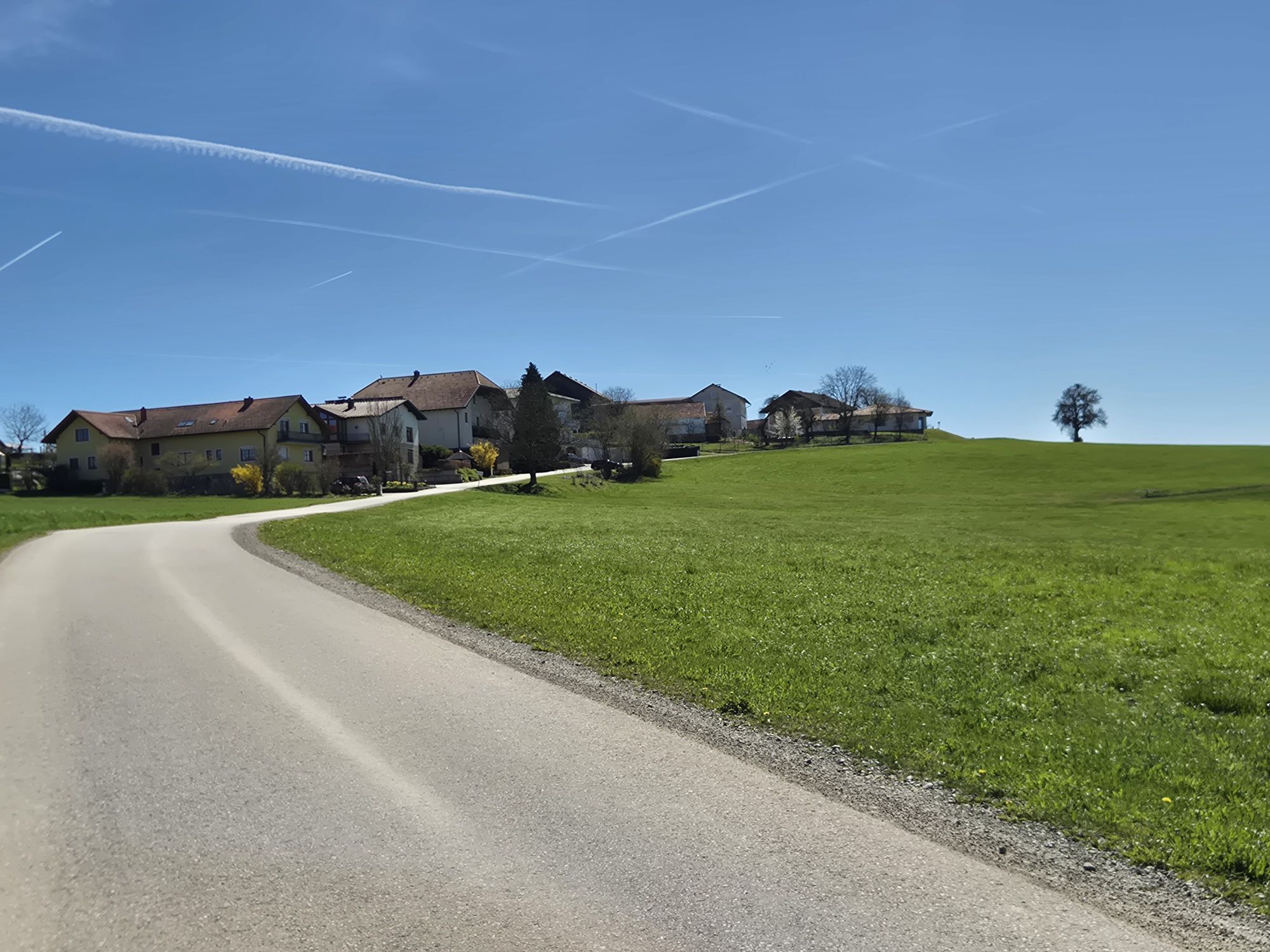
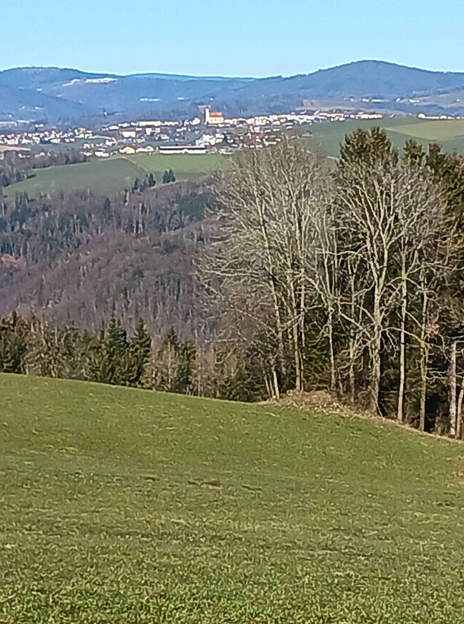
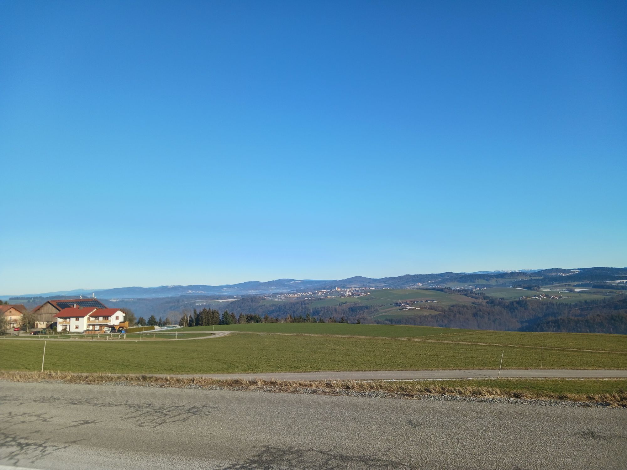
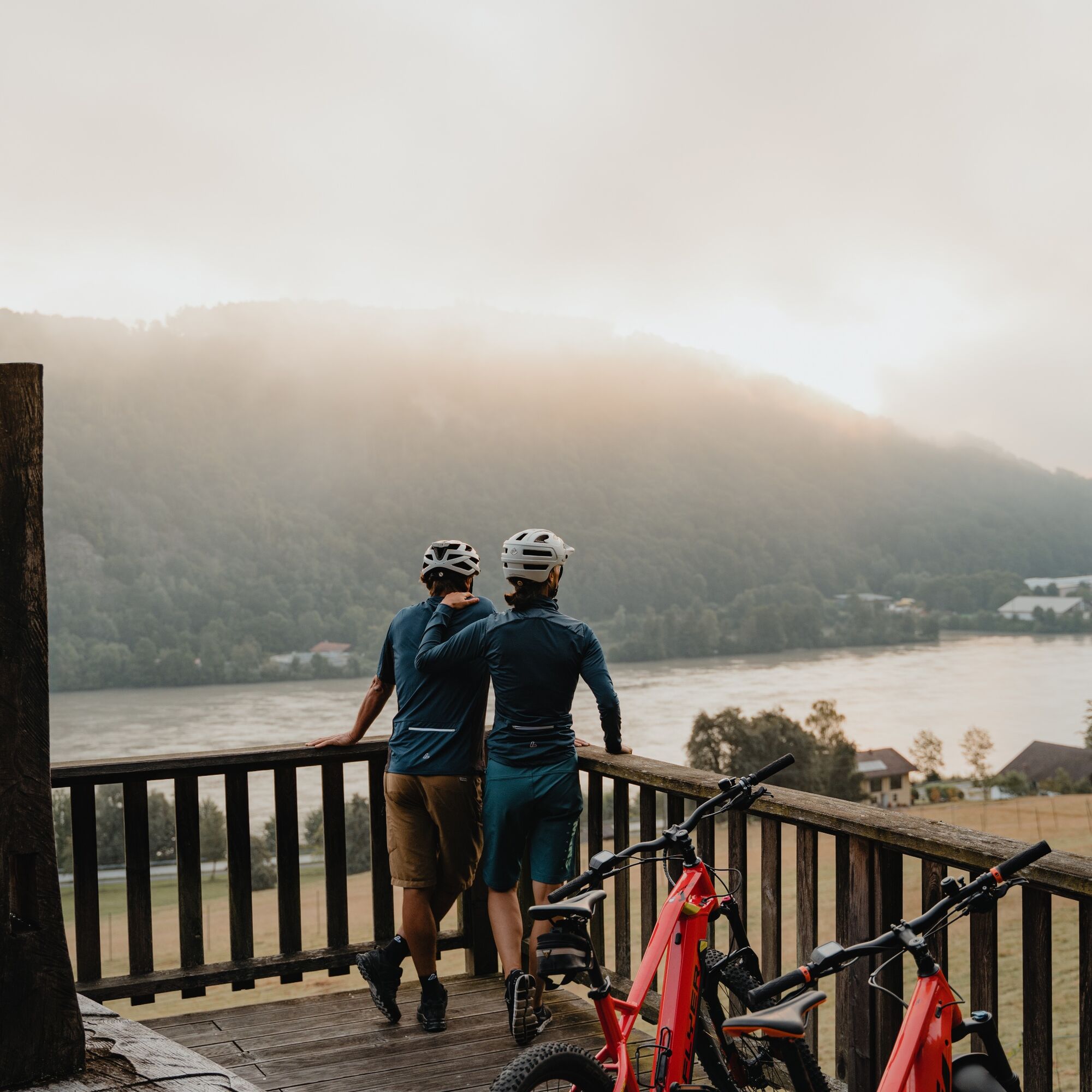
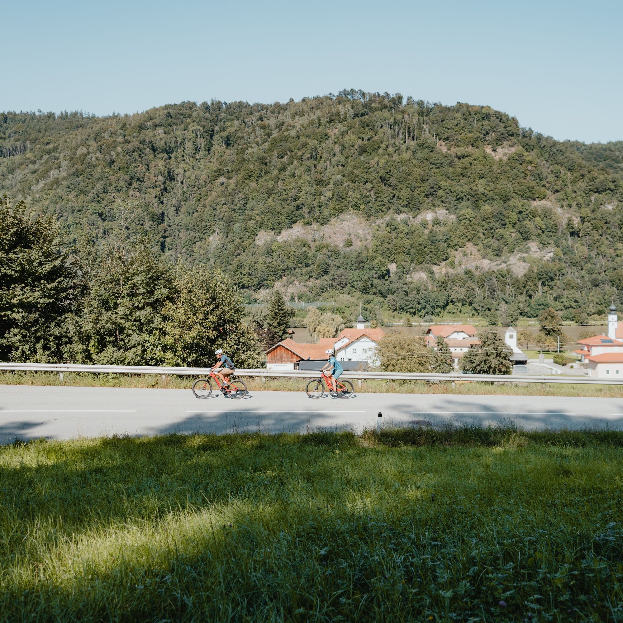
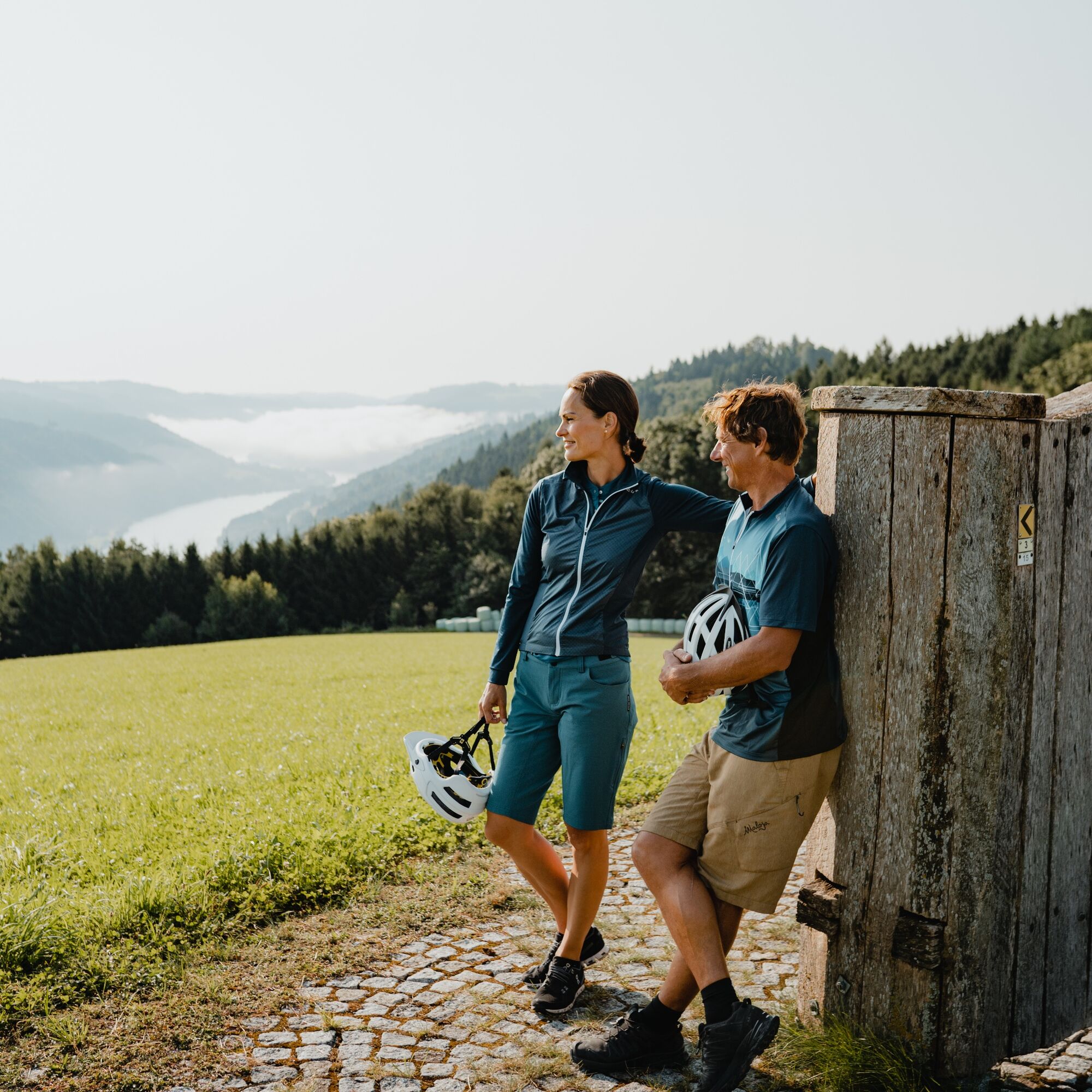
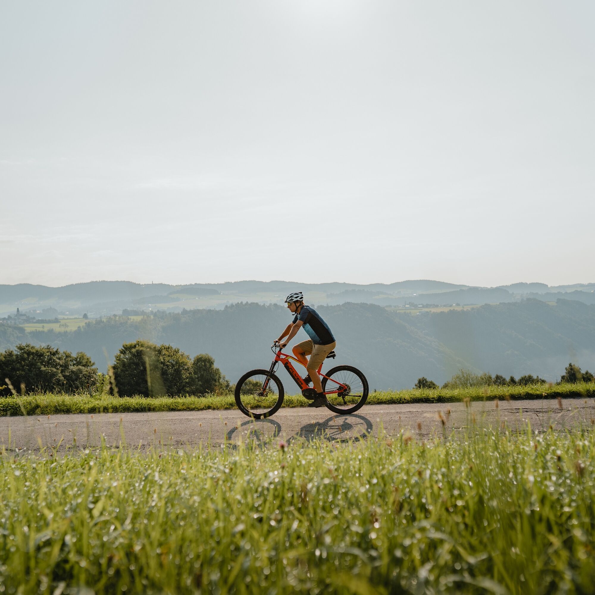
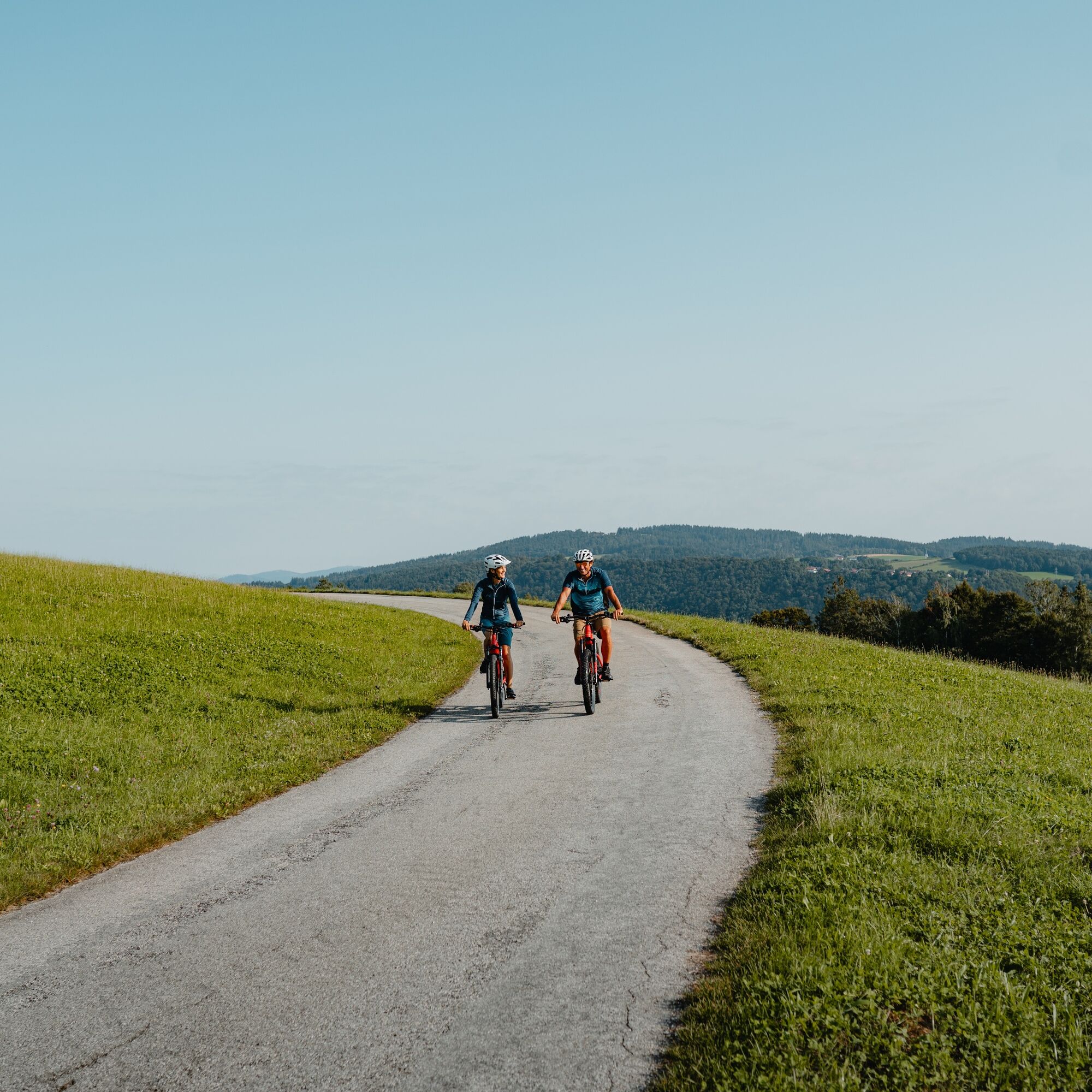
In Pyrawang starts the magnificent Sauwald Panorama Road with a 330 meter ascent to the roof of the Danube gorge. Along the Panorama Road, staged viewpoints surprise with wonderful views into and above the Danube Gorge. So take your time and enjoy! The road leads steadily uphill through the steep forest slope, above impresses rural cultural landscape. The Sauwald high plateau is reached in Oberbamberg. Lush meadows, small fields, beautiful orchards, small woods, scattered farming hamlets... and sublime views – pure Sauwald countryside idyll! In a loop, you cycle enjoyably via Esternberg over the hilly plateau. Shortly after Urschendorf, you have reached its highest point. Congratulations! With a 2 km long regenerative descent, you return to the valley slope of the Danube gorge. The Danube high-altitude village Vichtenstein is an unexpected highlight: the (feud) castle Vichtenstein, the charming parish church with miraculous Madonna, magnificent views... Here starts the "summit storm" on the high road through the eternal forests of the Haugstein (= highest Sauwald peak). The sweat runs, the thoughts fly. At the beginning of the forest clearing of the hamlet Unterweinbrunn, the highest point of the round (660 m) is reached. Congratulations! Through mountain forest, it goes slightly hilly further, then quickly downhill. Finally, you enjoyfully rush over a rural ridge with hidden views of the Danube (Flenken Valley) – and a short counter ascent – down into the forest trench of the rushing brook. A short (forest) ascent brings you back to the Sauwald high plateau. St. Aegidi is the start of a 4.5 km long pleasure descent over a ridge full of Sauwald countryside idyll. The cycling becomes cruising! In Sittling, the ascent to the last ridge begins. Once at the top, the short detour to the extraordinary Four-Quarters View is worth it: the 360° panoramic view allows limitless views into all four quarters of Upper Austria! On the way, the Sauwald high plateau presents itself once more from its most beautiful side. In Waldkirchen am Wesen follows the crowning finale: 3 km of fast downhill fun through the steep forest slope of the Danube valley gorge to Wesenufer. River cycling with deep views!
Tak
This sporty cycling route uses entirely quiet, paved (side) roads, country roads, and bike paths. Basic gear shifting skills for the long climb are necessary. Basic braking skills for the long descents are necessary.
Signage:
To make orientation easier for you, the Danube cycling rounds have been marked with their own bike guidance system. This route follows the signage "R1.03 Danube Valley Gorge Round".
How to travel to the Upper Austria Danube region?
The fastest way to your destination – by train, bus, car, ship, or airplane.
3
Discovery journeys with enjoyable stops! This route passes directly by the following culinary partners:
Wesenufer Hotel & Seminar Culture on the Danube Sauwald Vodka
Popularne wycieczki w okolicy
-
4,4
Haibach: CICONIA circular route
średniWędrówka 11,2 km -
3,8
Waldkirchen: 4/4 View Round | Large Danube Resonance Path Round
średniWędrówka 12,9 km -
4,8
Hofkirchen: Waterfall round
średniWędrówka 8,43 km -
4,5
Rannatalweg
średniWędrówka 10,7 km -
4,5
Rannastausee
światłoWędrówka 9,03 km -
4,0
R1.05 Sauwald Panorama Route
średniJazda na rowerze 57,8 km -
5,0
Kneipp,- Fitnessweg im Rannatal
światłoWędrówka 3,79 km -
4,0
Panoramaweg
światłoWędrówka 7,53 km -
4,0
Danube Cycle Path Stage 1 North Bank: Passau - Schlögen
światłoKolarstwo długodystansowe 40,8 km -
3,8
Esternberg: Kößlbachrunde
światłoWędrówka 15,8 km
Wędrówki i tropienie


Nie przegap ofert i inspiracji na następne wakacje
Twój adres e-mail została dodana do listy mailingowej.