


Traunviertel Tour - Stage 2
Zdjęcia naszych użytkowników
-
 © Sylvia HannUtworzono dnia 25.06.2023
 -
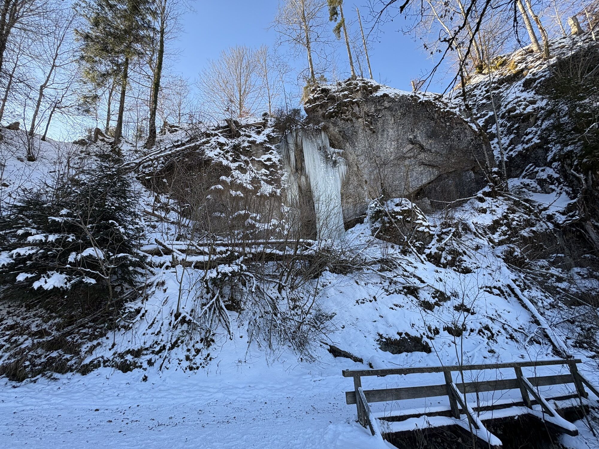
 © Marc HöllingerUtworzono dnia 04.01.2026
 -
 © Marc HöllingerUtworzono dnia 04.01.2026
 -
 © Johann SchallingerUtworzono dnia 19.10.2025
 -
 © Johann SchallingerUtworzono dnia 10.05.2025
 -

 © Prabhu VUtworzono dnia 18.12.2024
 -
 © Prabhu VUtworzono dnia 18.12.2024
 -
 © Prabhu VUtworzono dnia 18.12.2024
 -
 © Prabhu VUtworzono dnia 18.12.2024
 -
 © Prabhu VUtworzono dnia 18.12.2024
 -
 © Prabhu VUtworzono dnia 18.12.2024
 -
 © Prabhu VUtworzono dnia 18.12.2024
 -
 © Prabhu VUtworzono dnia 18.12.2024
 -
 © Prabhu VUtworzono dnia 18.12.2024
 -
 © Prabhu VUtworzono dnia 18.12.2024
 -
 © Emillie GessertUtworzono dnia 30.10.2024
 -

 © BernardUtworzono dnia 05.05.2024
 -
 © BernardUtworzono dnia 05.05.2024
 -
 © BernardUtworzono dnia 05.05.2024
 -
 © BernardUtworzono dnia 05.05.2024
 -
 © BernardUtworzono dnia 05.05.2024
 -
 © BernardUtworzono dnia 05.05.2024
 -
 © BernardUtworzono dnia 05.05.2024
 -
 © Johann SchallingerUtworzono dnia 24.06.2023
 -
 © BernardUtworzono dnia 05.05.2024
 -
 © BernardUtworzono dnia 05.05.2024
 -
 © BernardUtworzono dnia 05.05.2024
 -
 © BernardUtworzono dnia 05.05.2024
 -
 © Nikoletta Sándor-OpavszkyUtworzono dnia 17.05.2026
 -
 © Andreas GlückUtworzono dnia 17.05.2026
 -

 © BedyUtworzono dnia 01.05.2026
 -

 © ReginaStUtworzono dnia 23.04.2026
 -
 © ReginaStUtworzono dnia 23.04.2026
 -
 © ReginaStUtworzono dnia 23.04.2026
 -
 © Edith K.Utworzono dnia 18.04.2026
 -
 © Peter maurerUtworzono dnia 12.04.2026
 -
 © Pauline LissekUtworzono dnia 09.04.2026
 -
 © Natur_erleben_dgUtworzono dnia 09.04.2026
 -
 © CarinossiUtworzono dnia 14.03.2026
 -
 © Barbara MayerUtworzono dnia 07.03.2026
 -
 © Barbara MayerUtworzono dnia 07.03.2026
 -
 © ReginaStUtworzono dnia 24.01.2026
 -
 © ReginaStUtworzono dnia 24.01.2026
 -

 © Sandra W.Utworzono dnia 03.01.2026
 -
 © Sandra W.Utworzono dnia 03.01.2026
 -
 © JürgenUtworzono dnia 28.12.2025
 -
 © PadoleUtworzono dnia 27.12.2025
 -
 © Natur_erleben_dgUtworzono dnia 06.11.2025


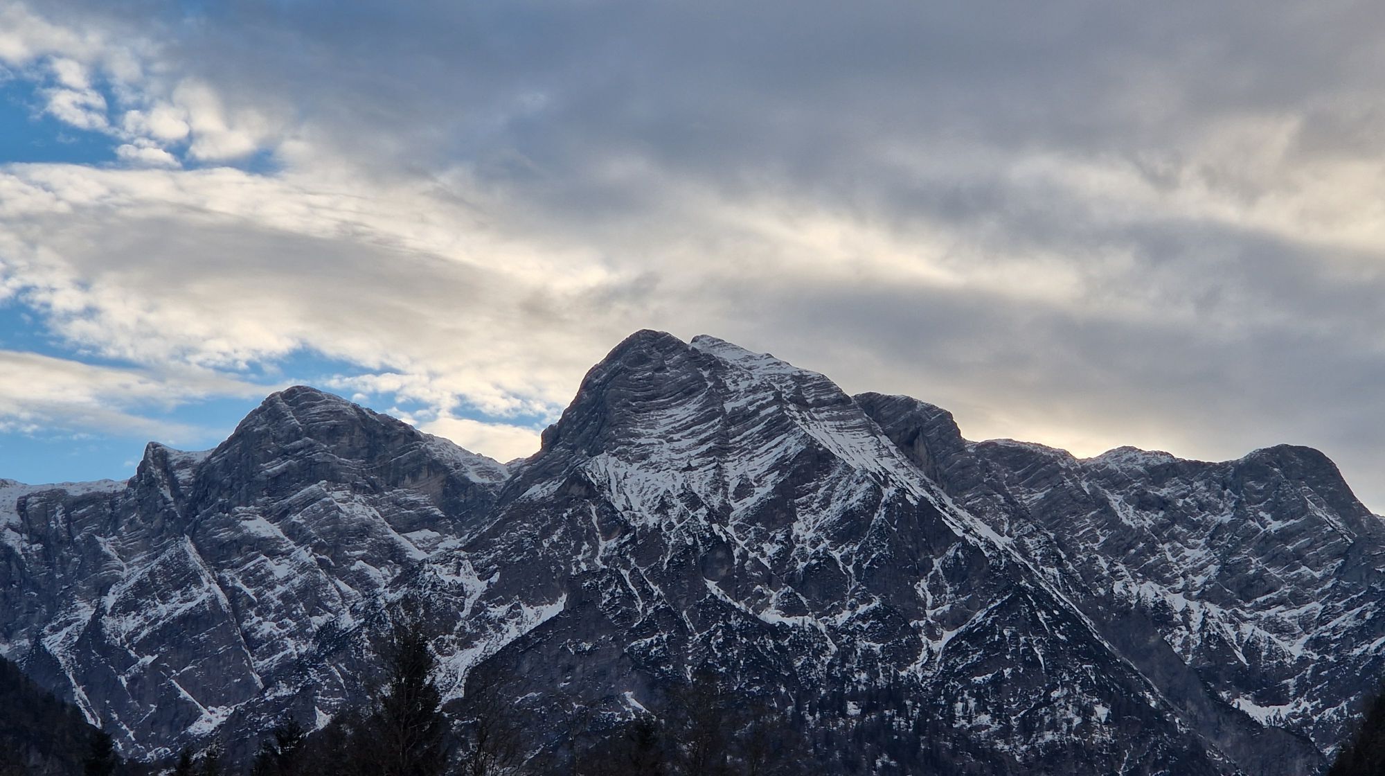
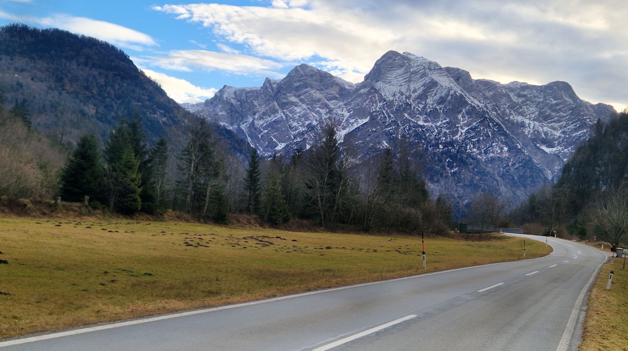
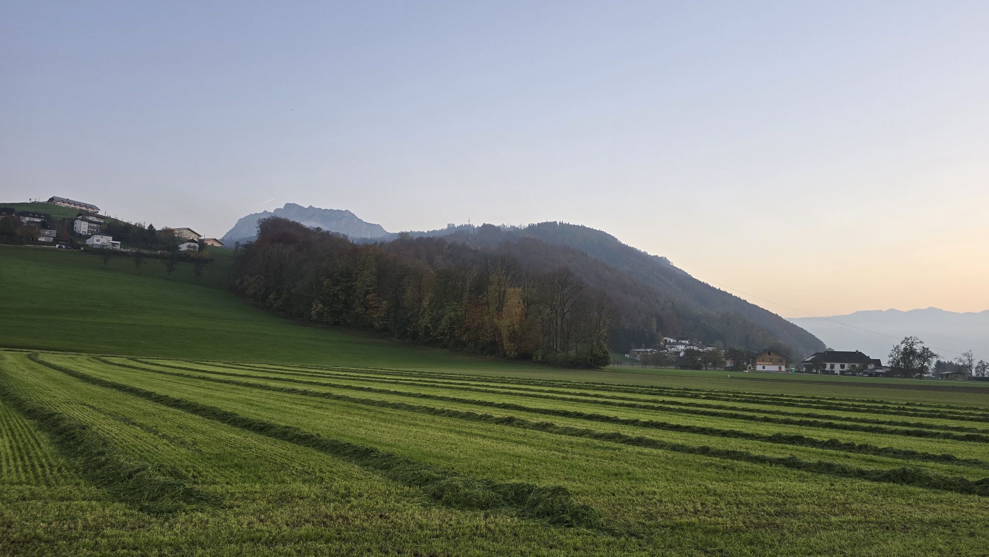


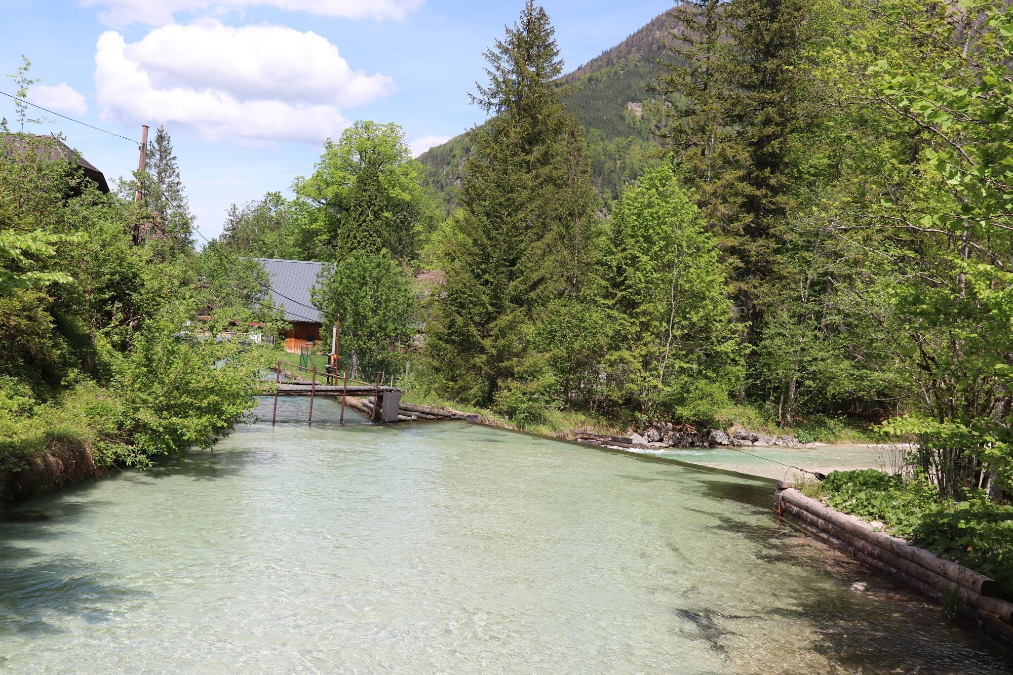


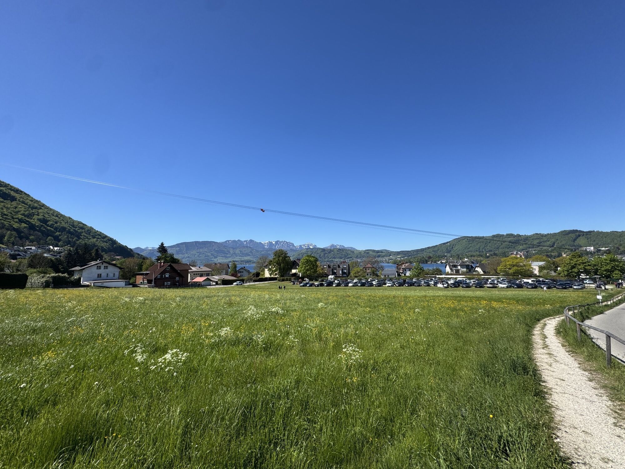
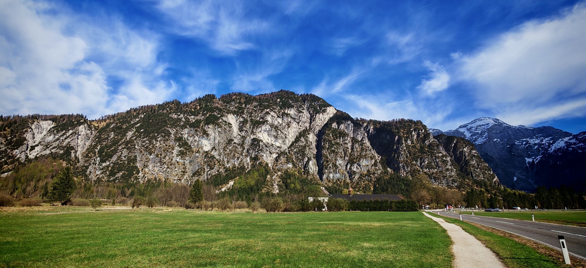


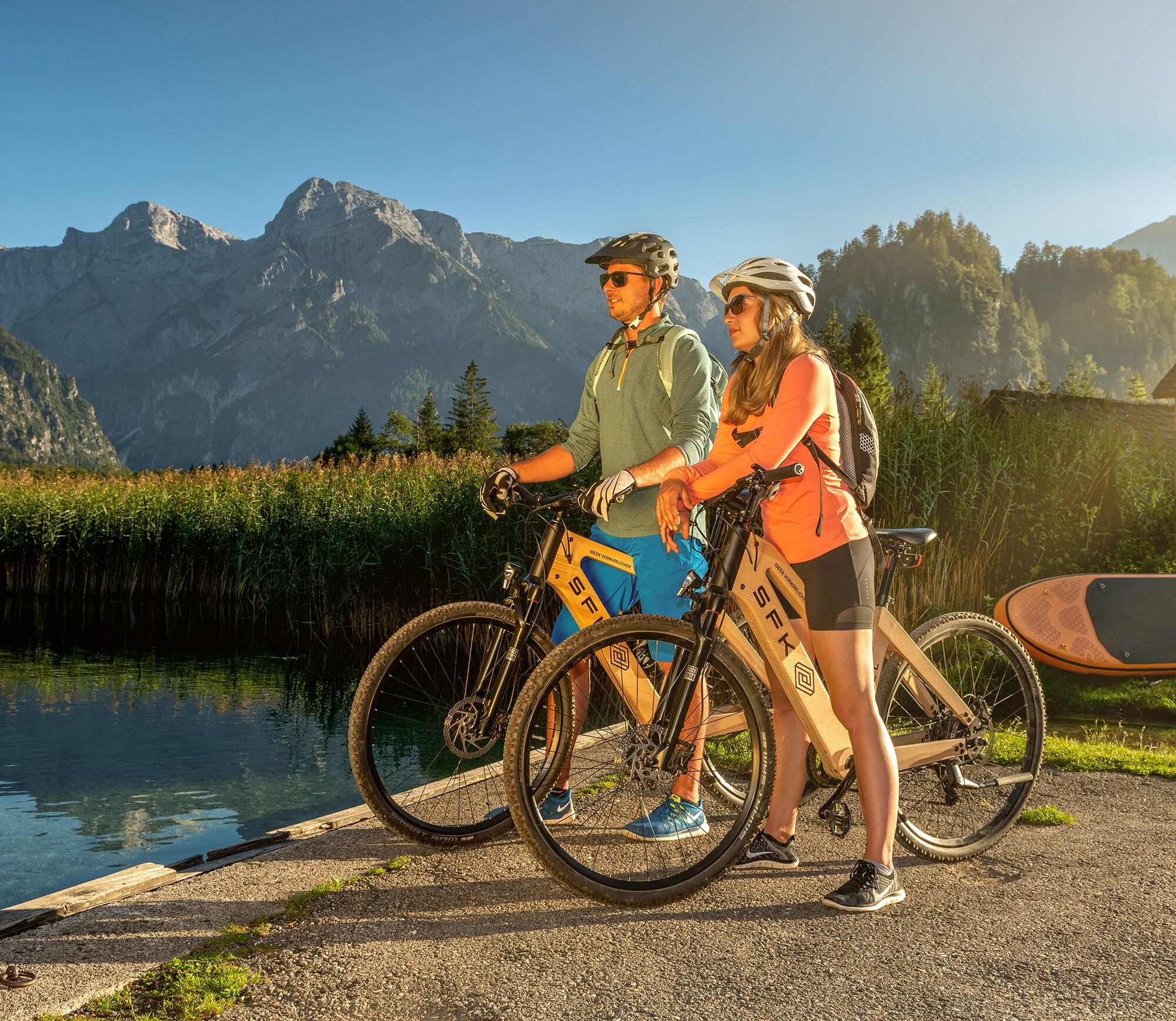


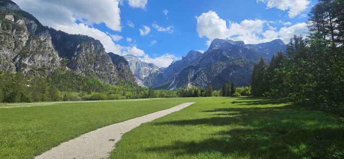
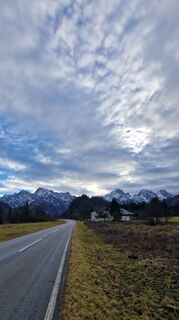
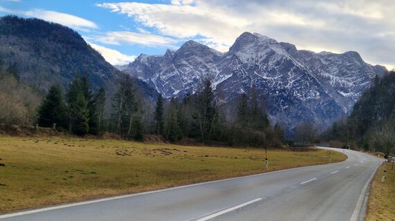
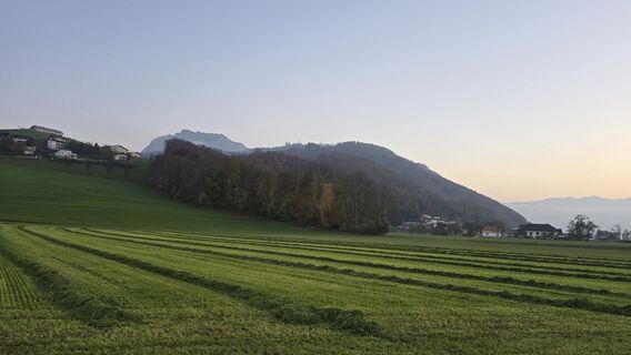
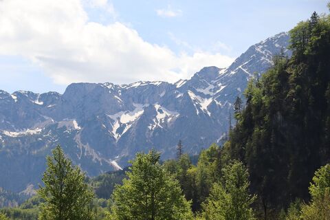
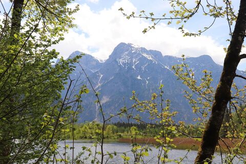
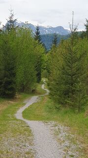
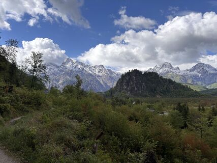
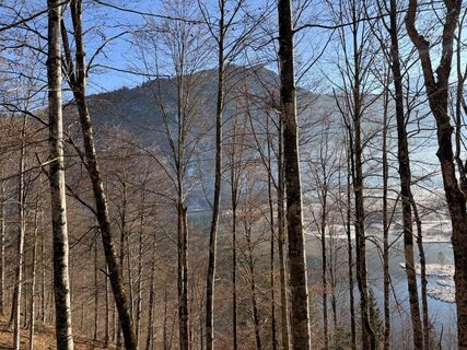
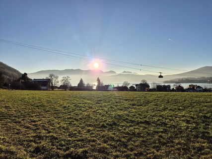
The 2nd stage leads on back roads from Schlierbach via Inzersdorf towards Pettenbach. Passing the pilgrimage churches of Magdalenaberg and Heiligenleithen you come to the R11 cycle path and follow it through Viechtwang and Grünau to Almsee in the picturesque valley head of the Almtal at the foot of the Dead Mountains. The tour leads back on the same route to the Scharnstein airfield. From here you continue via St. Konrad, Kranichsteg, then through the Laudachtal via "Franzl im Holz" to the stage destination Gmunden.
Bike-friendly businesses in the Traunviertel cycling regionThe destinations Steyr and the National Park Region, Bad Hall, Traunsee-Almtal and Pyhrn-Priel have come together under the name “Radregion Traunviertel”. Numerous qualified and labeled "bicycle-friendly businesses" offer special overnight accommodations with tools for minor repairs, lockable bicycle rooms and sufficient information material on the subject of cycling in the Traunviertel cycling region.
Under MY RECOMMENDATIONS you can find our BIKE-FRIENDLY ACCOMMODATION OPERATIONS on the tour.
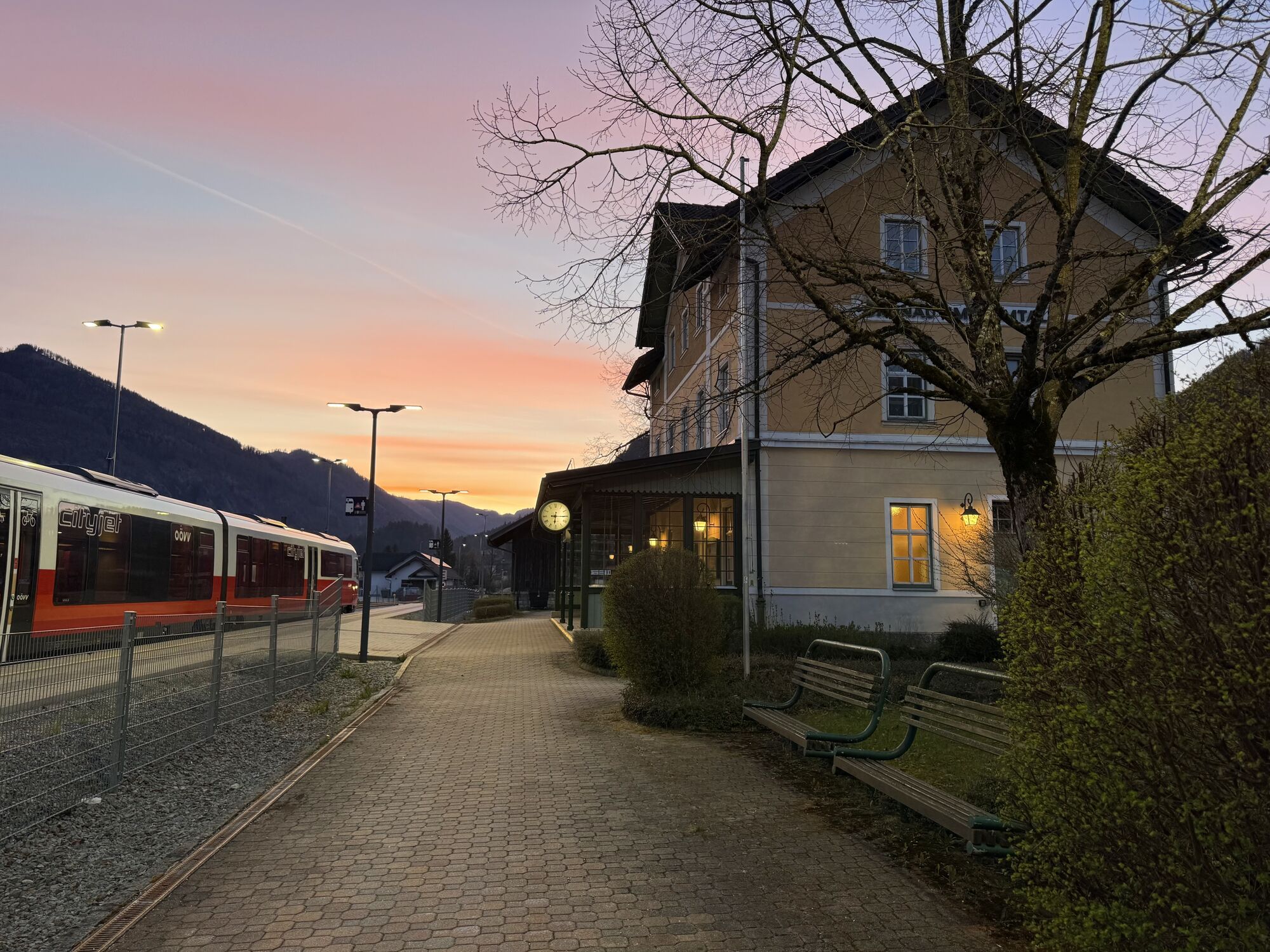
Bike shuttle bus
The route between Steyr and Spital am Pyhrn can also be comfortably covered with the bike shuttle bus! In this way, the sights along the route can be enjoyed particularly comfortably - and there is also enough time for one or the other cultural or culinary excursion. The bike shuttle runs from the end of May to the end of September on Saturdays, Sundays and public holidays (mornings). You can find the current departure times and stops at www.steyr-nationalpark.at. Attention: This service must be booked in advance via the website!
Nostalgia insider tip!
Cycle part of the Steyrtal cycle route R 8 (20 km) from Grünburg to Steyr with the Steyrtal museum train! The old steam locomotive runs on the weekends from June to September - bike transport is free!
E-bike rental
You can rent e-bikes in Steyr, Grünburg, Reichraming, Windischgarsten, Spital / Pyhrn, Hinterstoder, Roßleithen, Bad Hall, Grünau and Gmunden. You can get more information from your "bicycle-friendly accommodation company" and our guest relations staff at the tourist information points, who will also be happy to reveal some of the "secret spots" and are at your side with advice and action.
www.steyr-nationalpark.at / www.traunsee-almtal.at / www.badhall.at / www.urlaubsregion-pyhrn-priel.at / www.oberoesterreich.at
We recommend to bring sun and rain protection and to think of up-to-date maps!
Please inquire about any construction or renovation work along the bike path before beginning your bike tours.
www.steyr-nationalpark.at
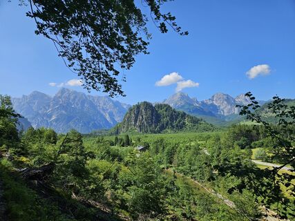
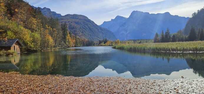
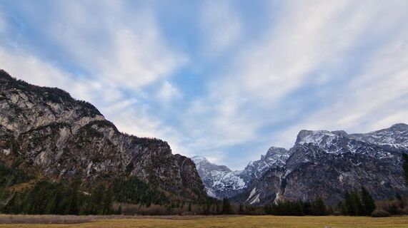
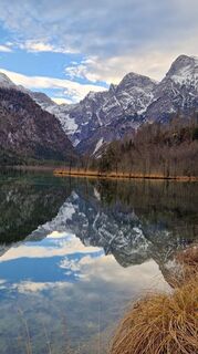
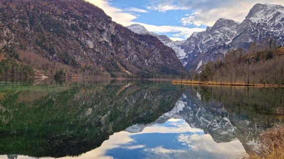
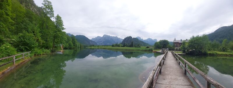
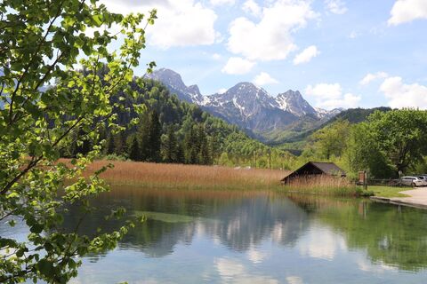
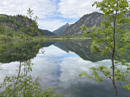
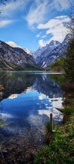
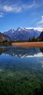
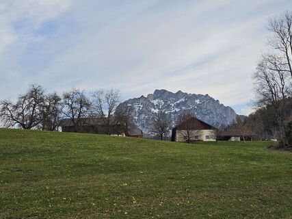
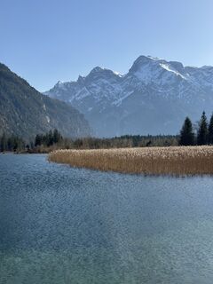
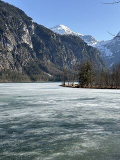
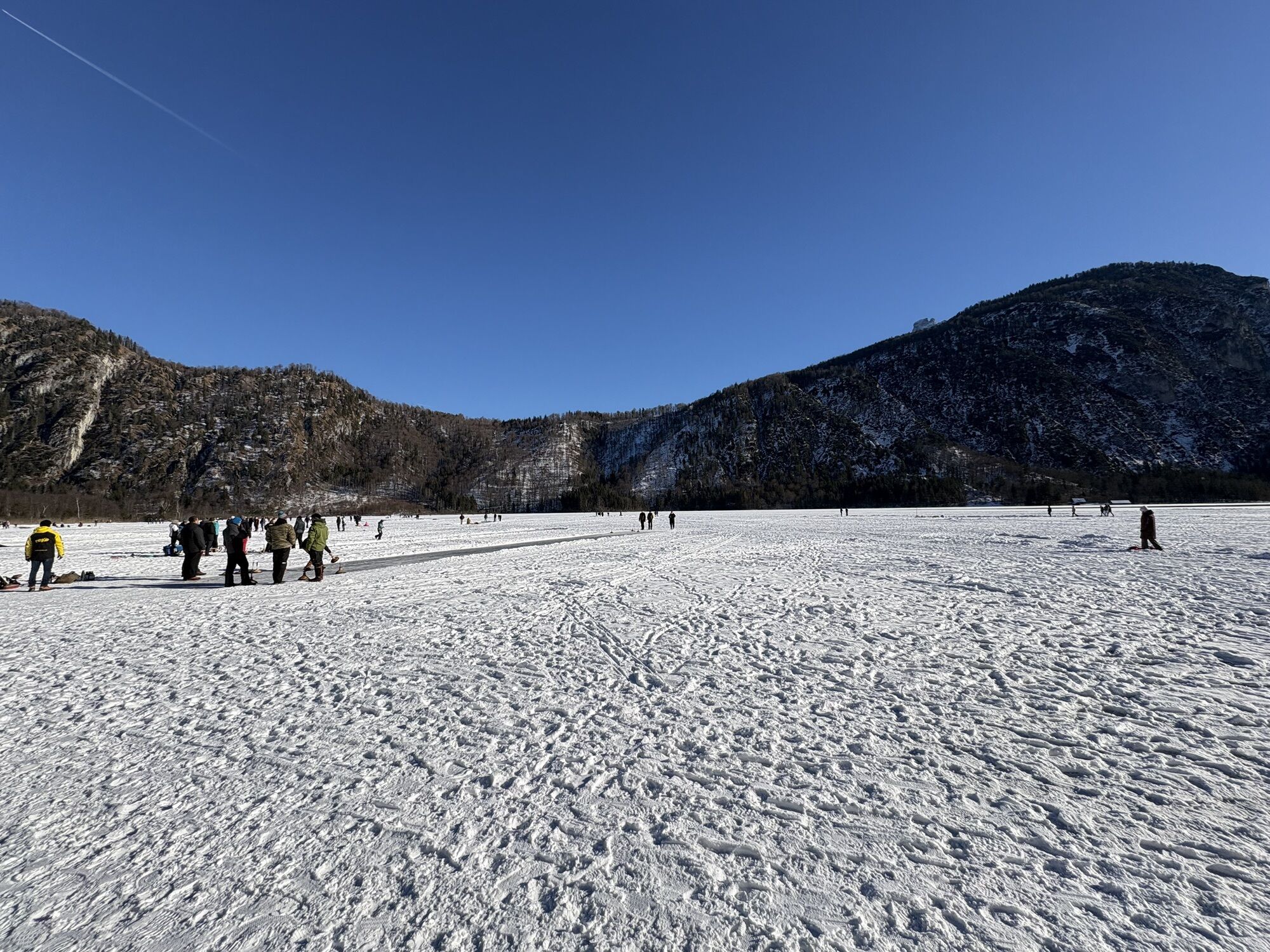
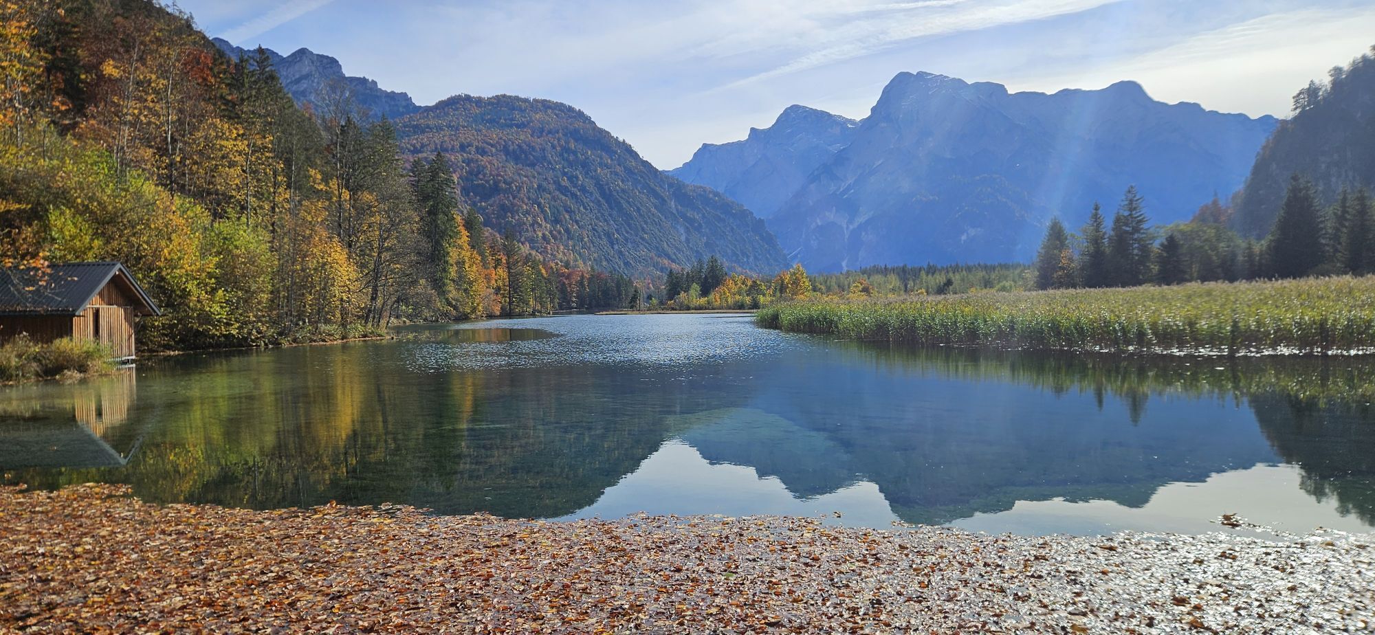
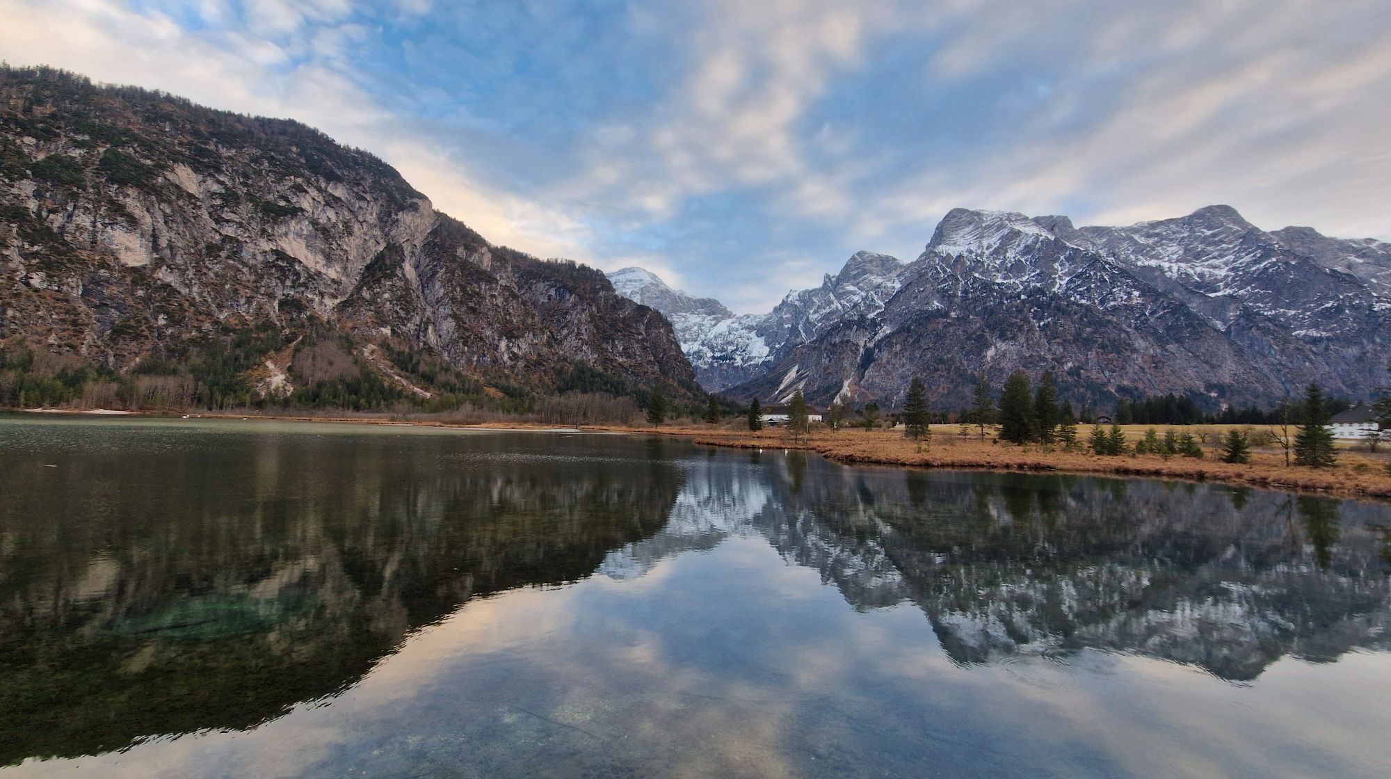
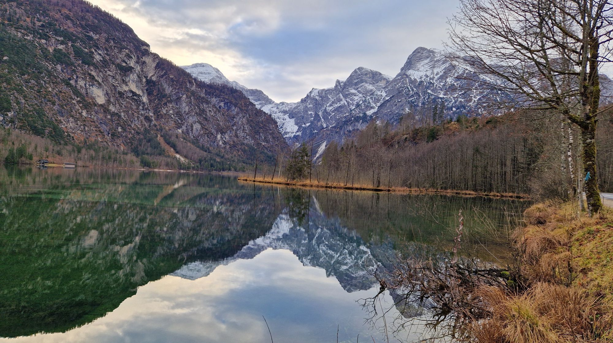
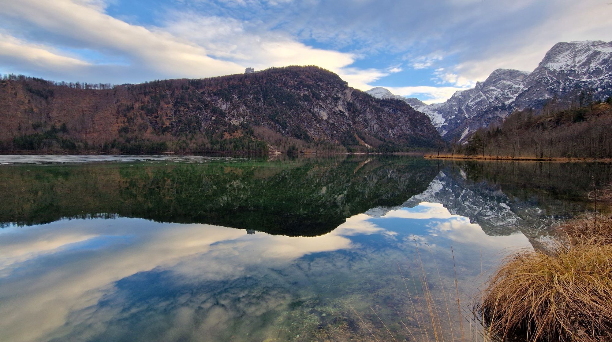
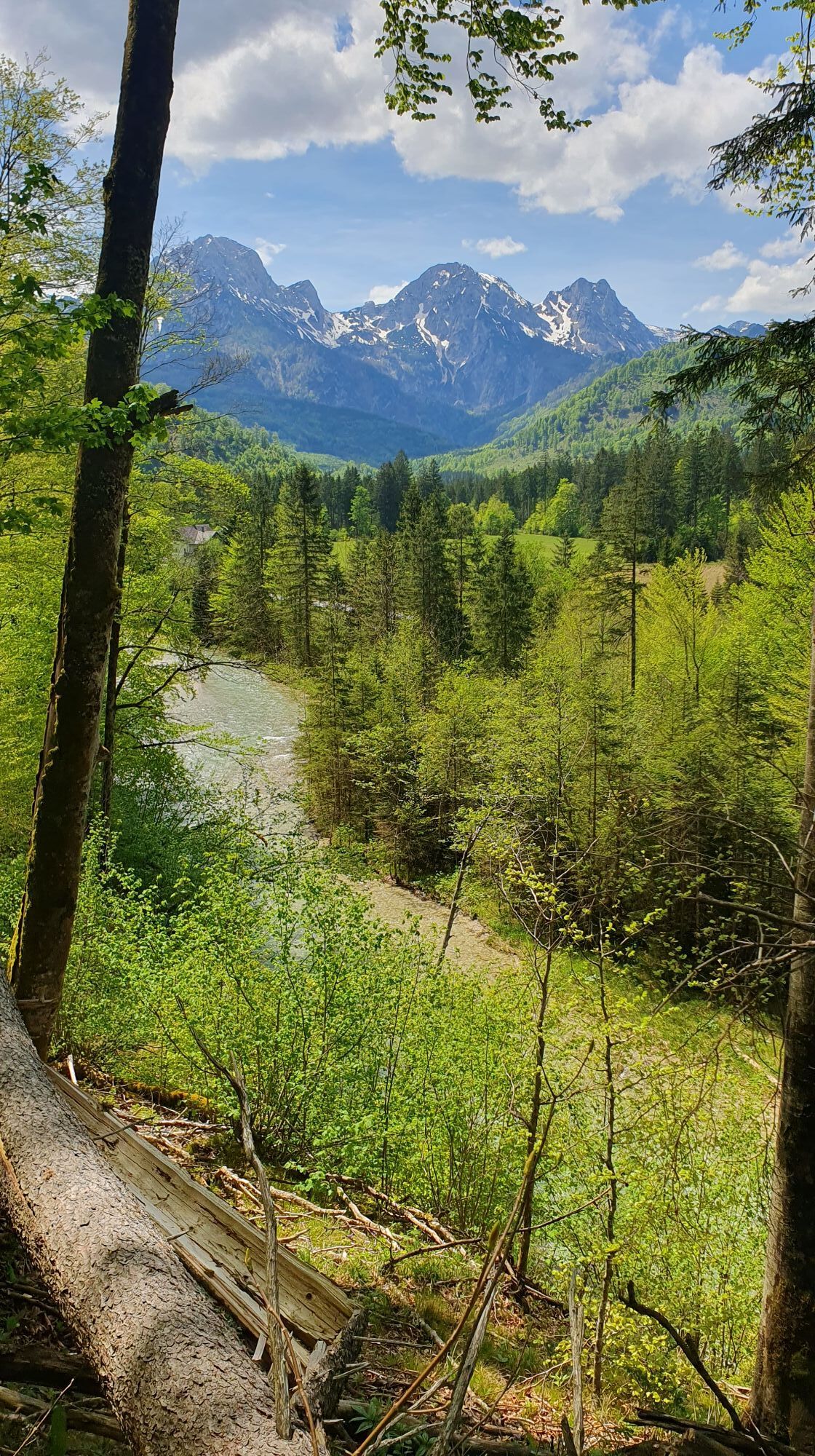
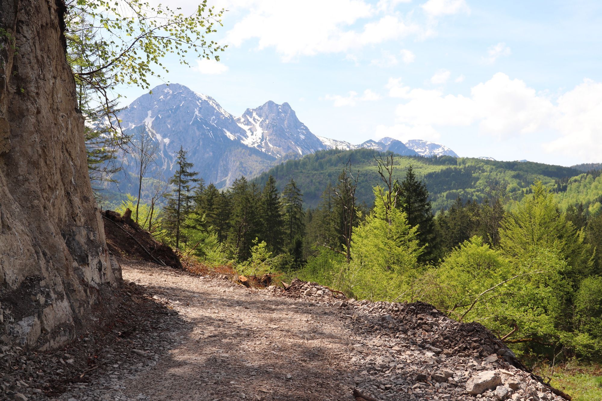
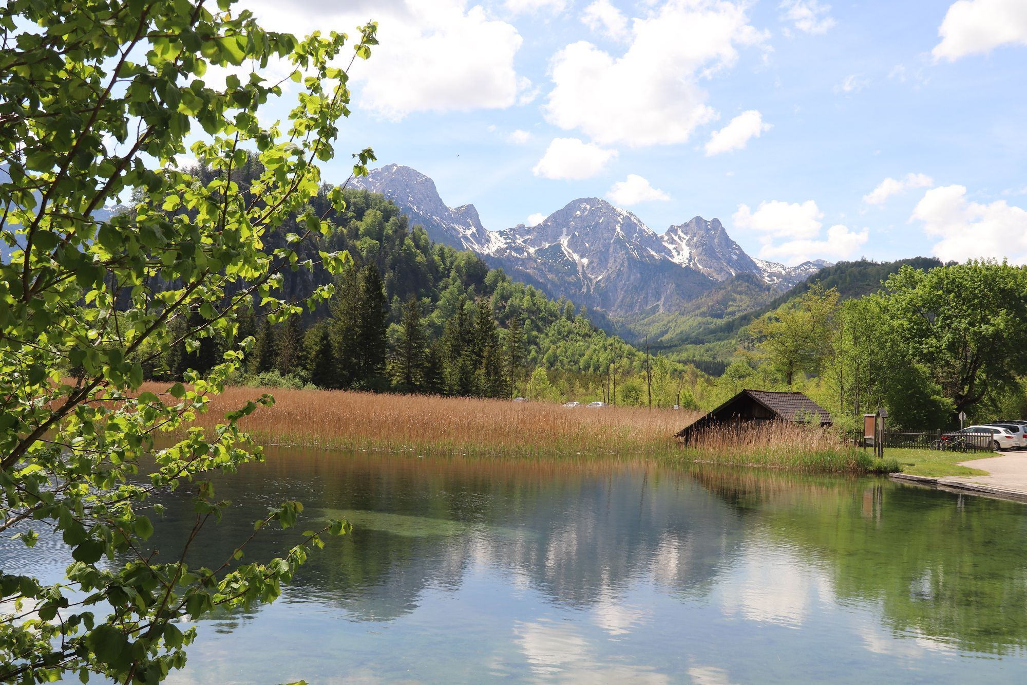
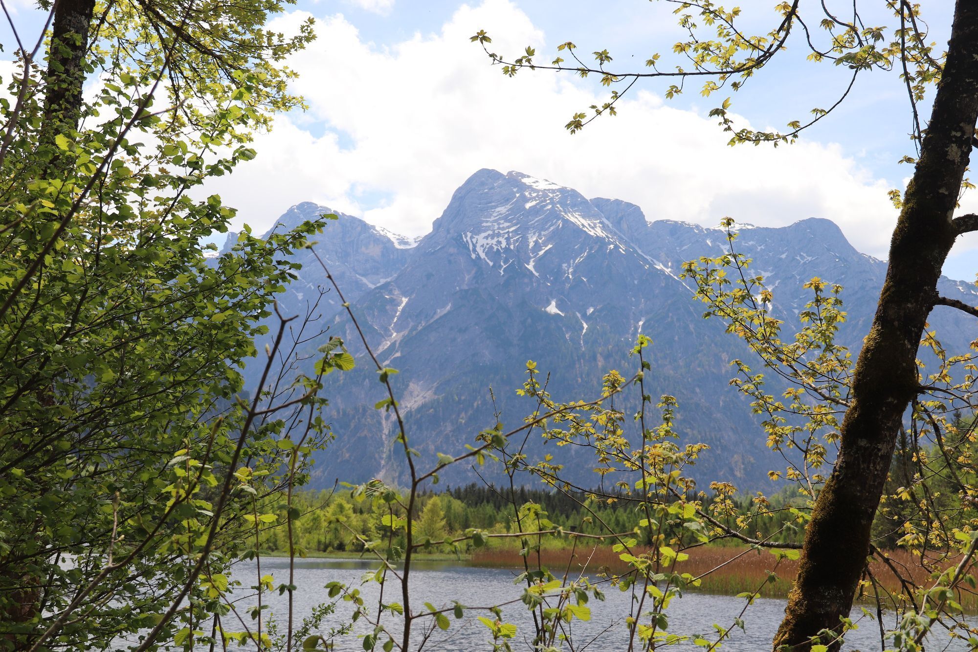
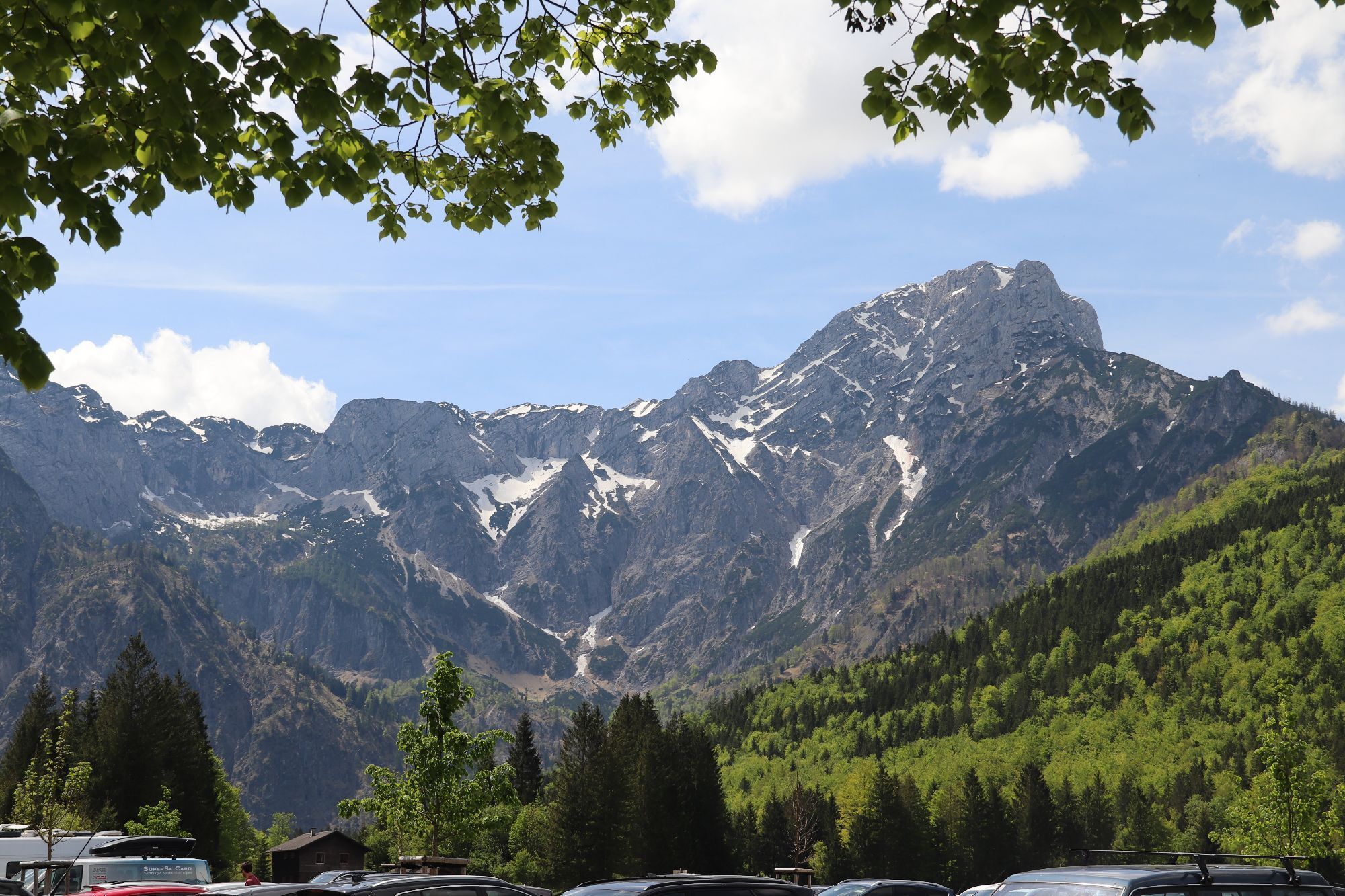
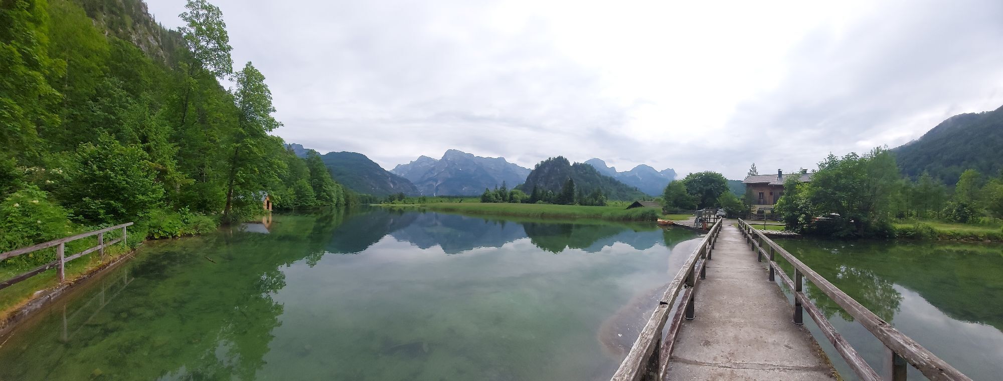
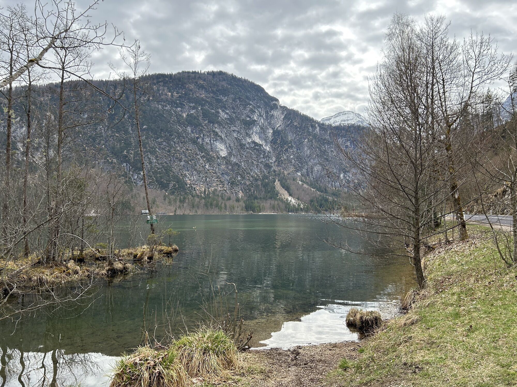
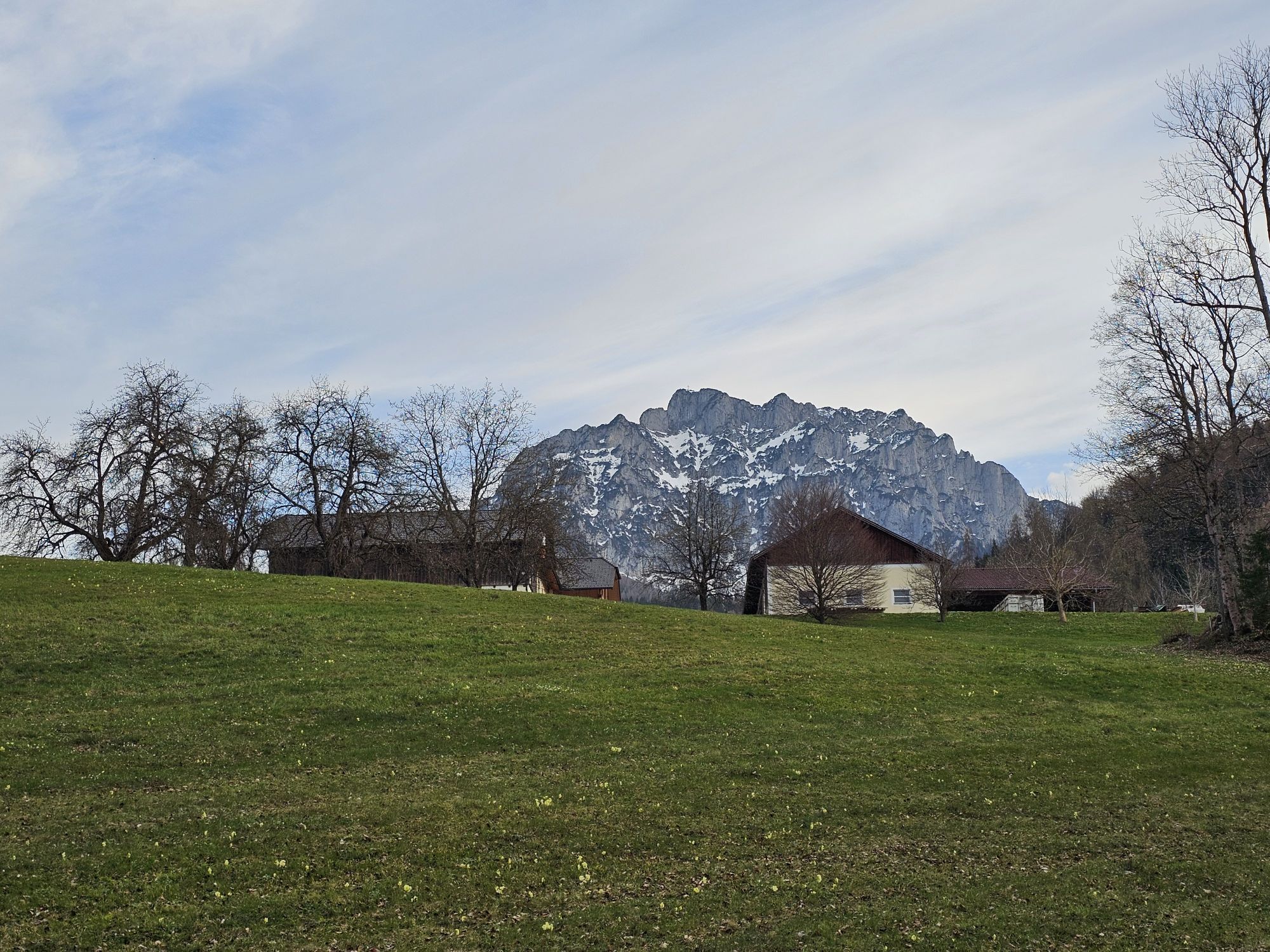
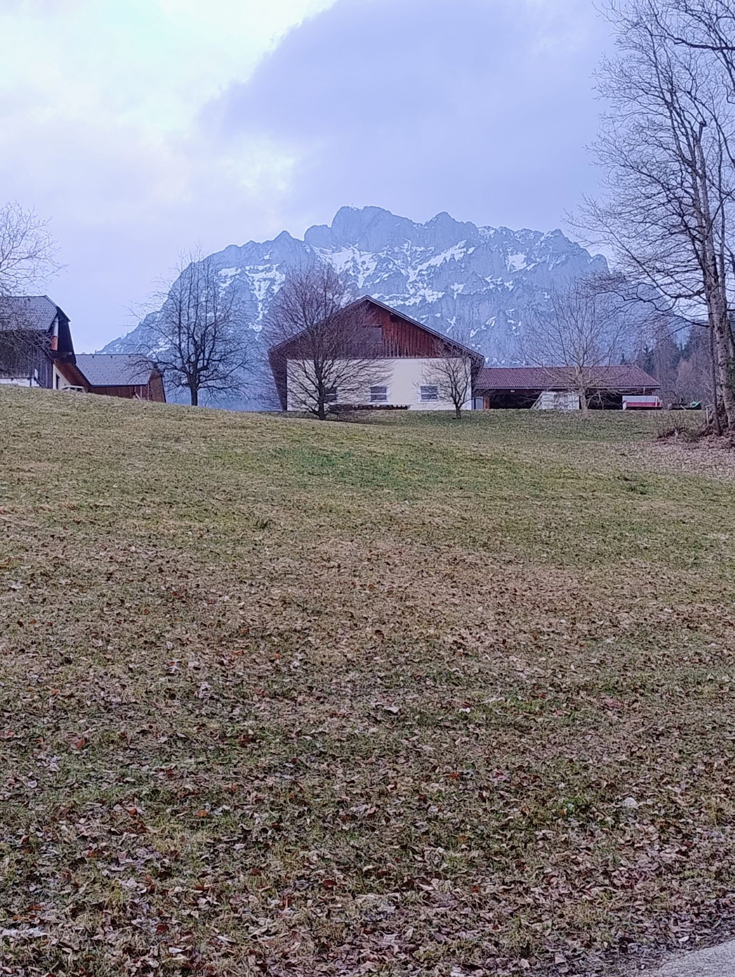
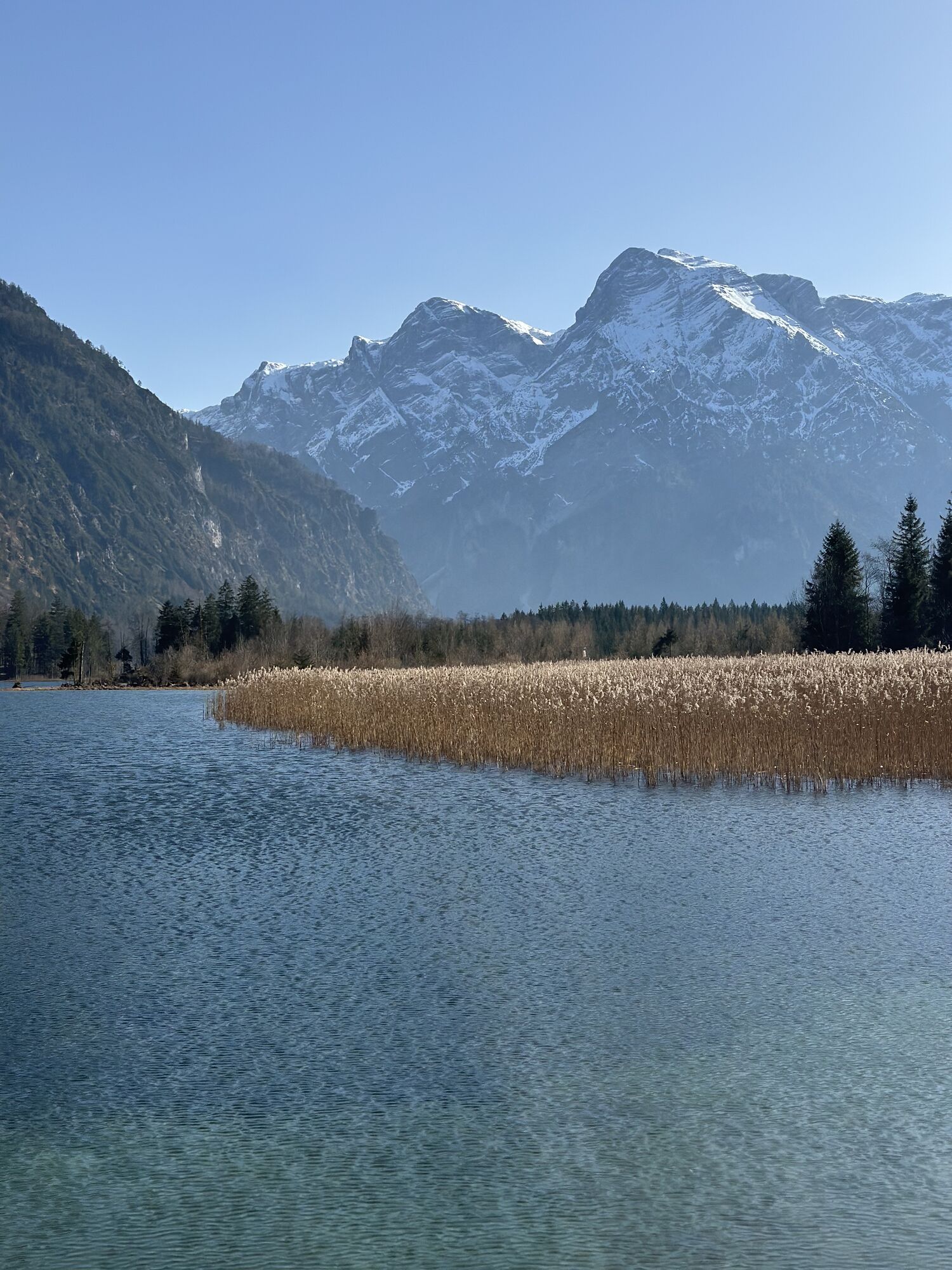
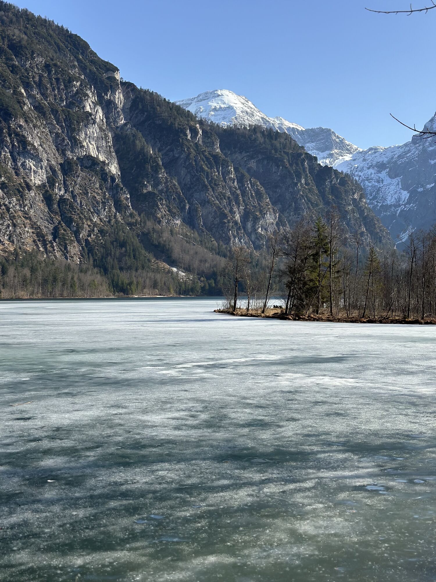
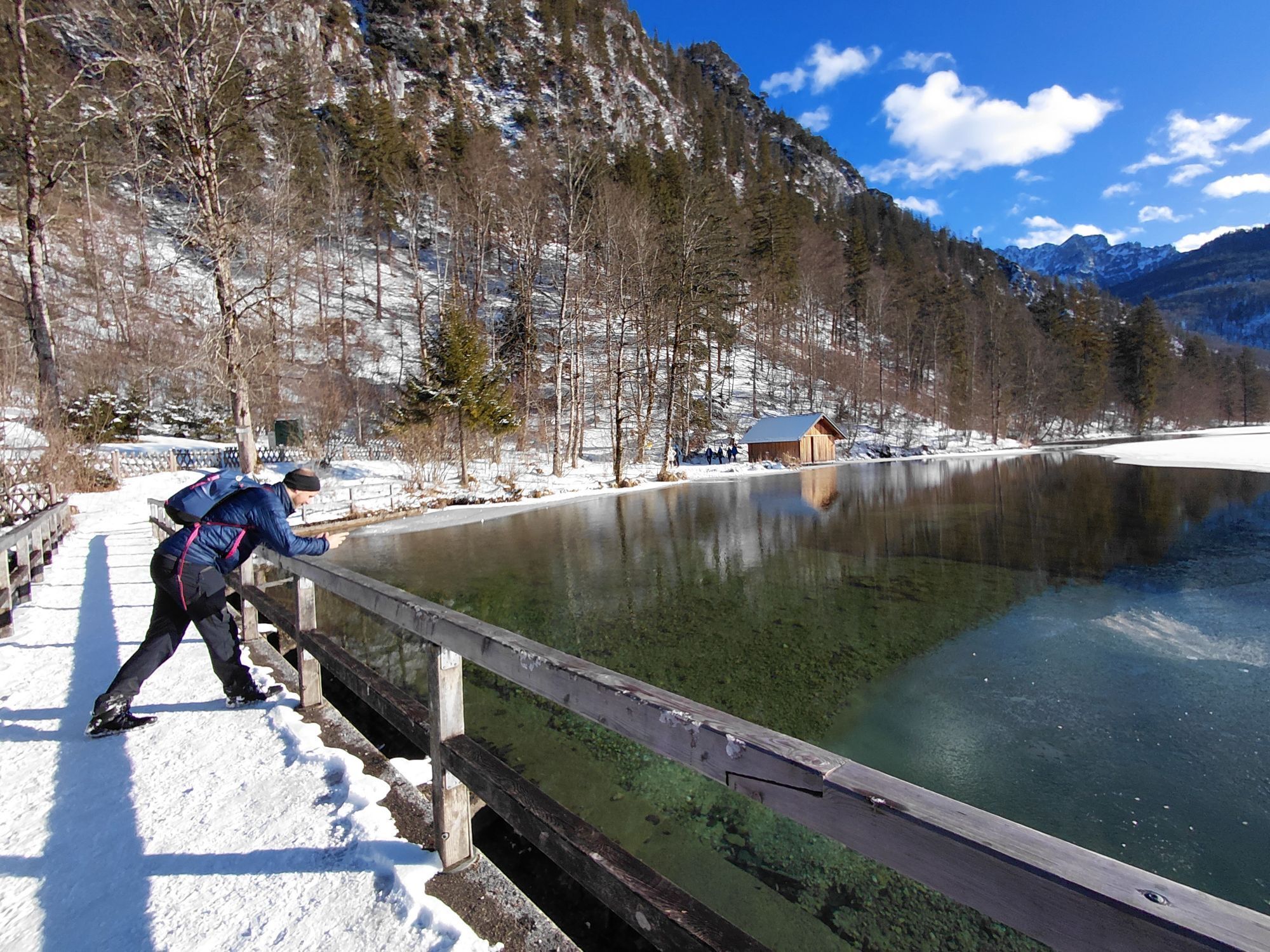
The Almsee is a small natural jewel, nestled in the majestic mountain scenery of the Tote Gebirge.
Kamery internetowe z trasy
-
Grünau im Almtal
-
Oberschlierbach
-
Kalvarienberg/Gmunden - Sternwarte
-
Kasberg
-
Gmunden - Trachten Reingruber
-
Bergstation Grünberg
-
Gmundner Hütte am Traunstein
-
Traunsee - Gmundner Berg
-
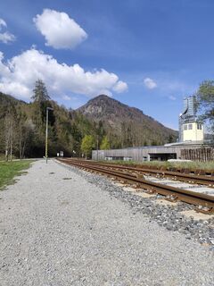
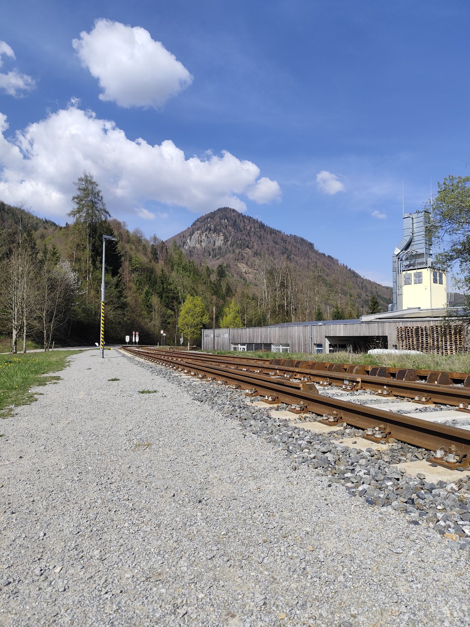
Flugplatz Scharnstein
-
Naturfreunde Traunsteinhaus
-
Kasberg
-
Kasberg
-
Kasberg
-
Kasberg
-
Gmundner Hütte am Traunstein
-
Golfclub Traunsee-Kirchham
-
Bergstation Grünberg
-
Steyrerhütte
-
Oberschlierbach
-
Pettenbach - L1330
-
B120 Ranklleiten
Popularne wycieczki w okolicy
-
4,6
Almseeweg / Grünau im Almtal
światłoWędrówka 5,97 km -
4,2
Erlakogel / Ebensee
średniWędrówka 4,12 km -
4,2
Naturfreundesteig auf den Traunstein
ciężkiWycieczka wysokogórska 5,07 km -
4,8
Traunstein 1.691m & Traunkirchner Kogel 1.575m am Traunsee
średniVia ferrata 9 km -
4,8
Katzenstein / Gmunden / Oberösterreich/Österreich
średniWycieczki górskie 12,2 km -
4,8
Steineck
średniWędrówka 9,43 km -
4,8
Ameisstein im Almtal
światłoWędrówka 3,40 km -
4,8
Gmunden: Traunstein über Mairalmsteig
średniWycieczki górskie 15,1 km -
4,8
Wilson-Holz-Route Almseerunde via Ameisstein (776m)
światłoWędrówka 9 km -
4,7
+++ Almsee Rundwanderung, Grünau im Almtal
światłoWędrówka 10,8 km

Wędrówki i tropienie


Nie przegap ofert i inspiracji na następne wakacje
Twój adres e-mail została dodana do listy mailingowej.