






Traunviertel Tour - Stage 1








Route
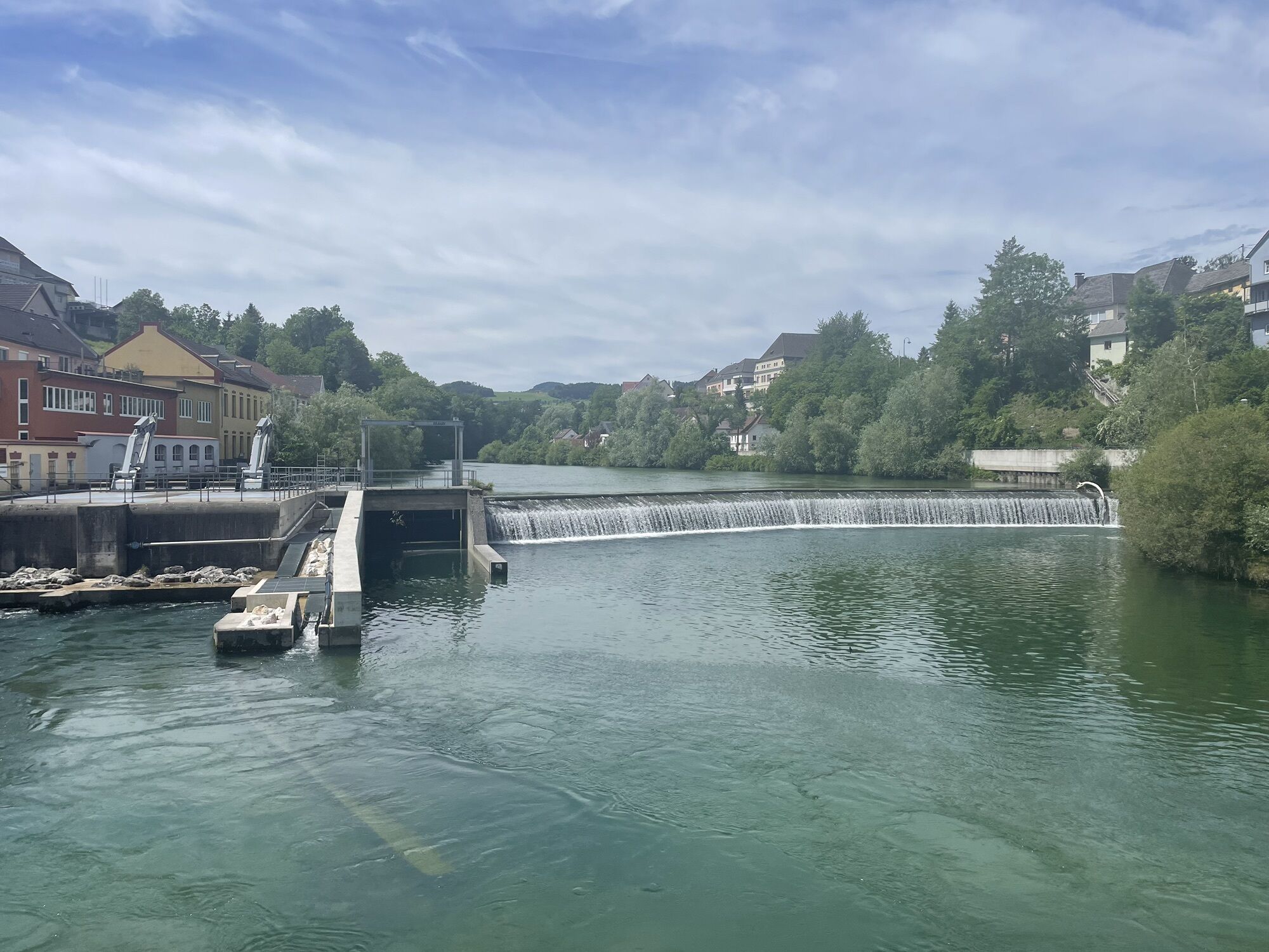
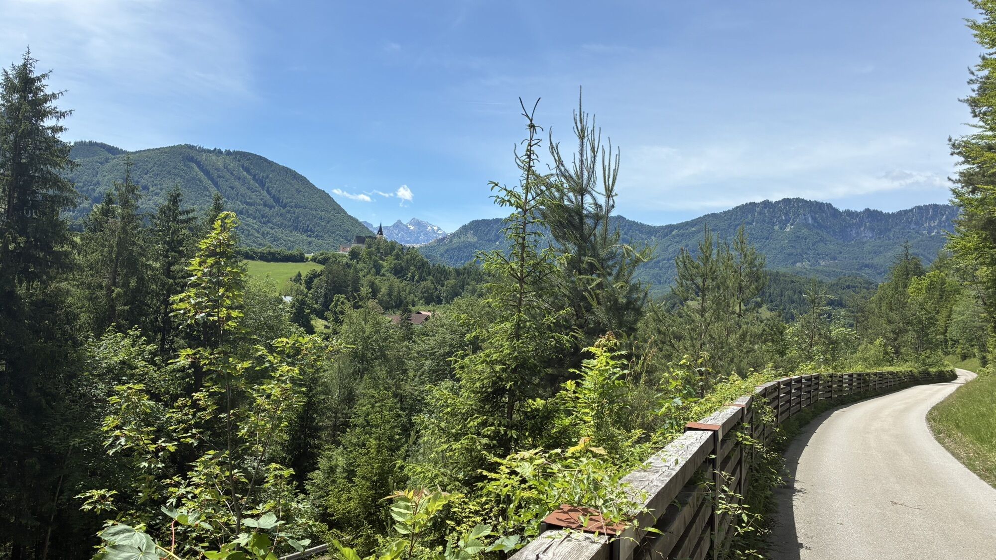
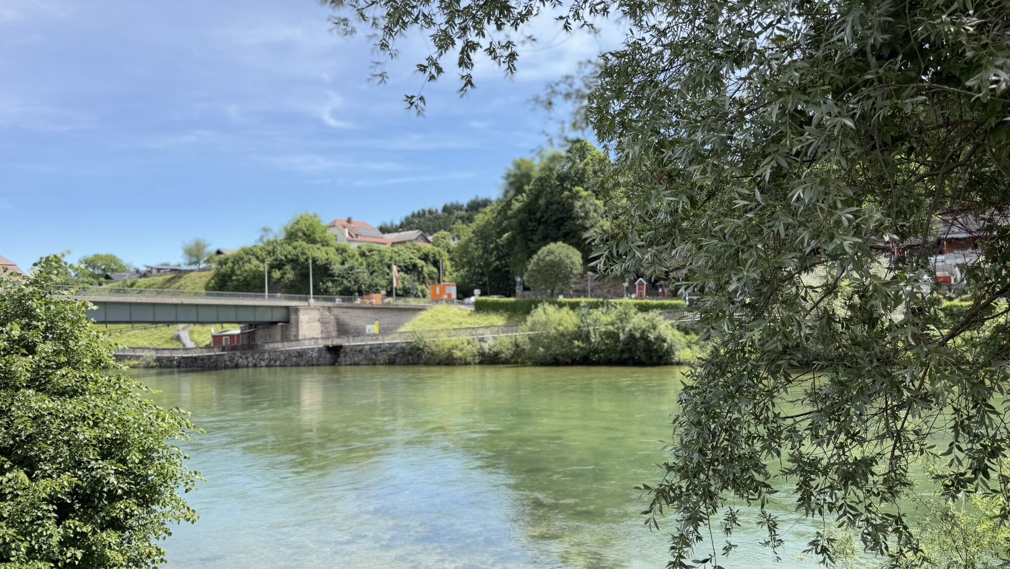
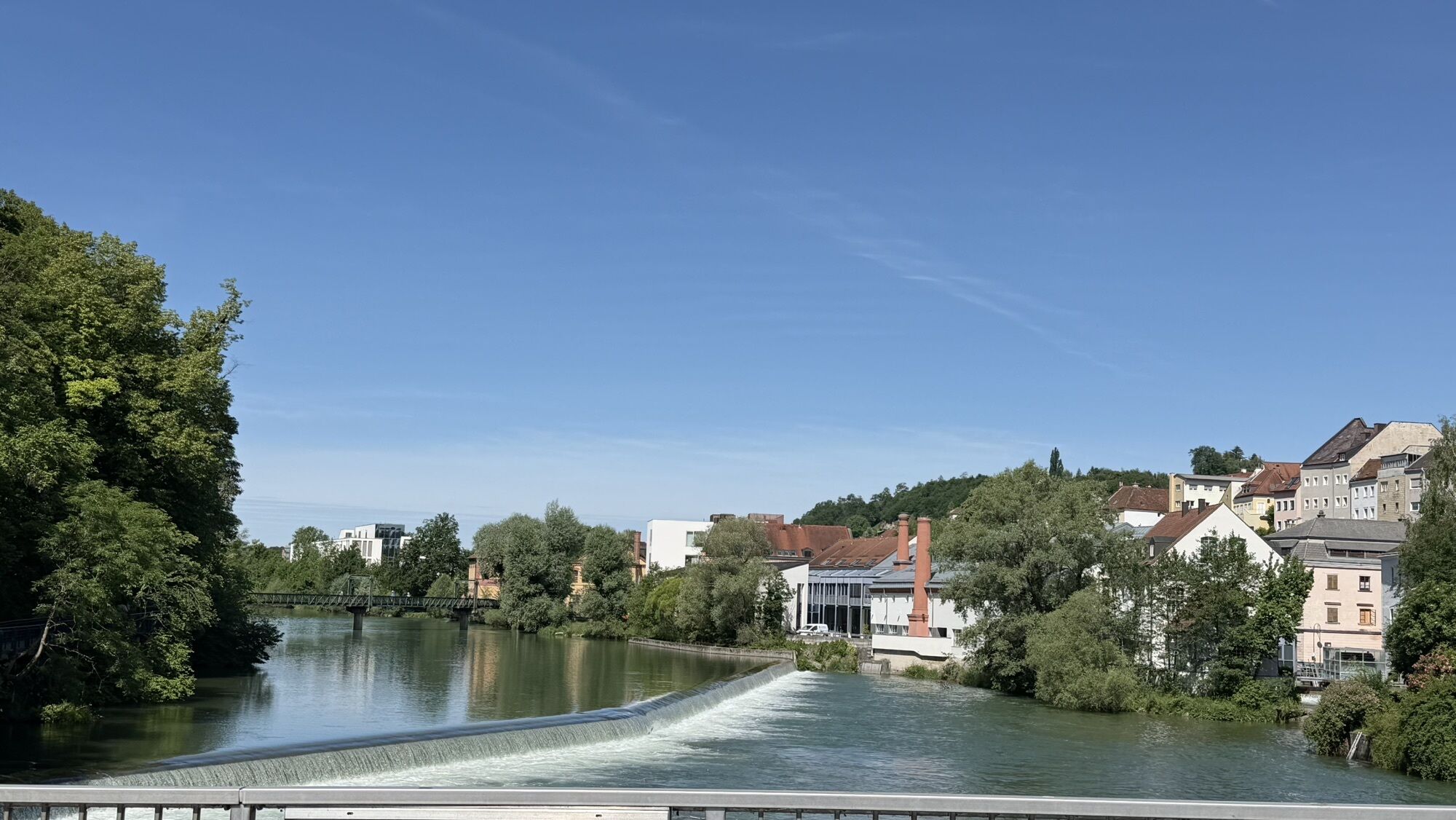
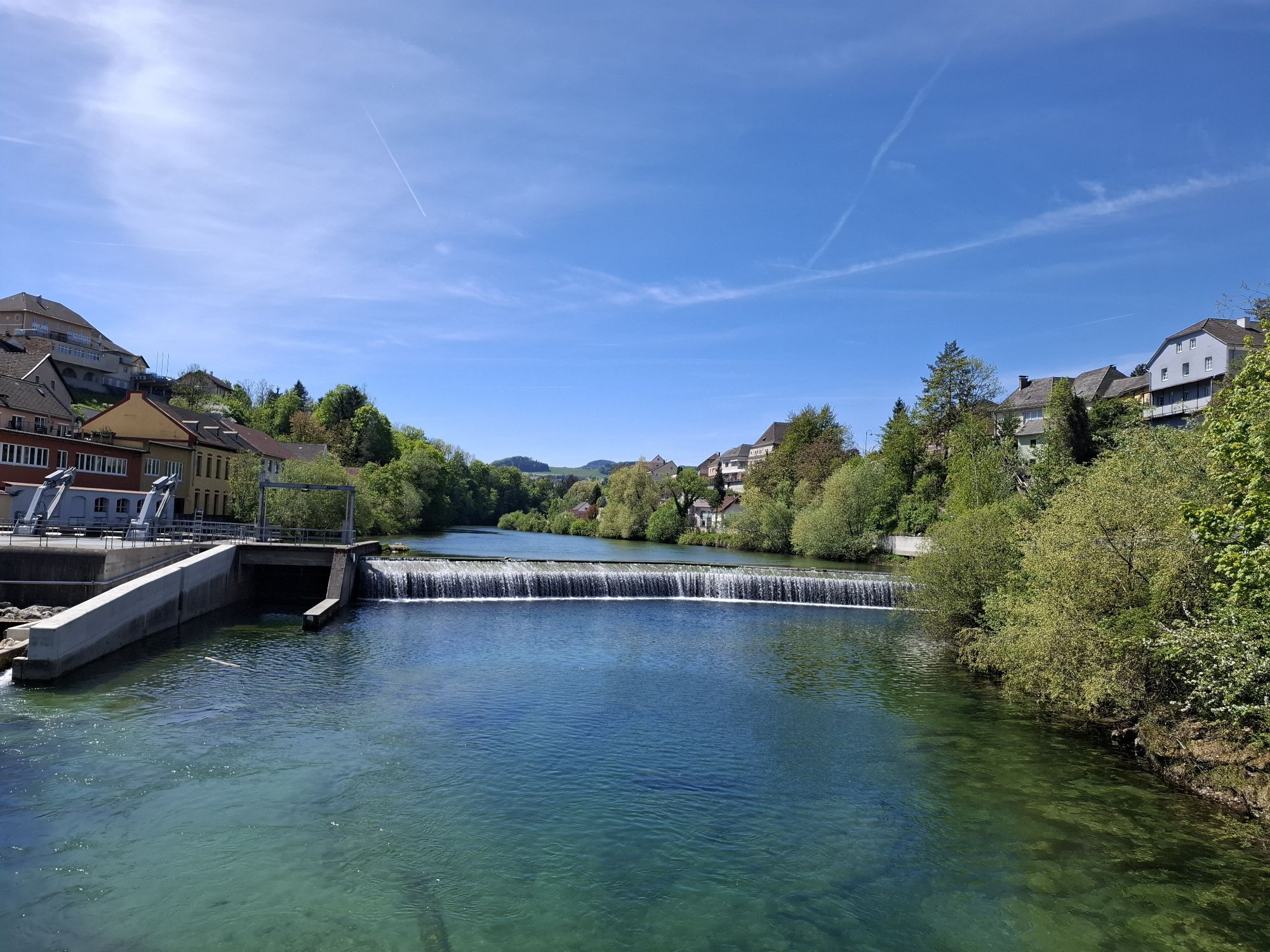
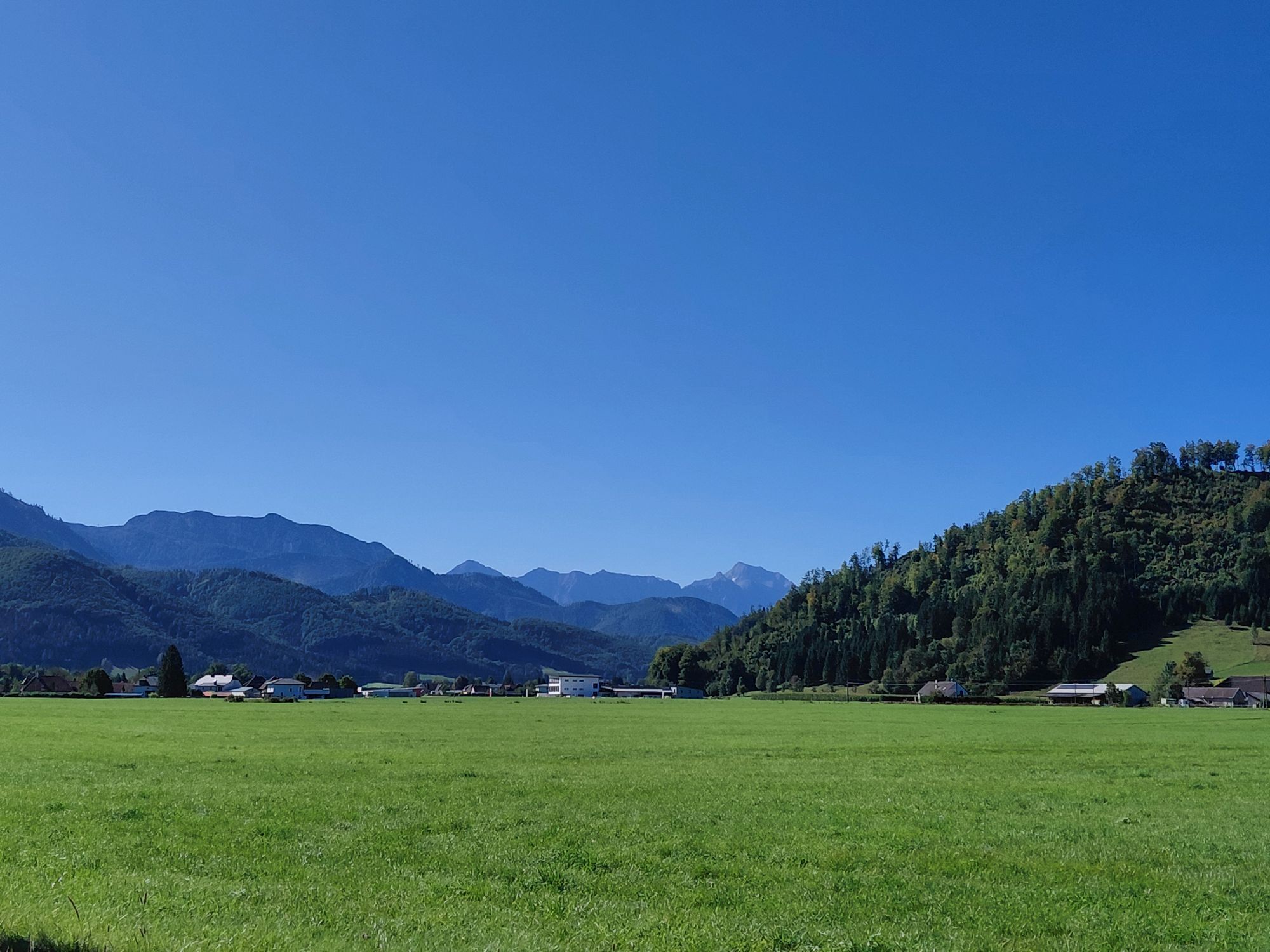
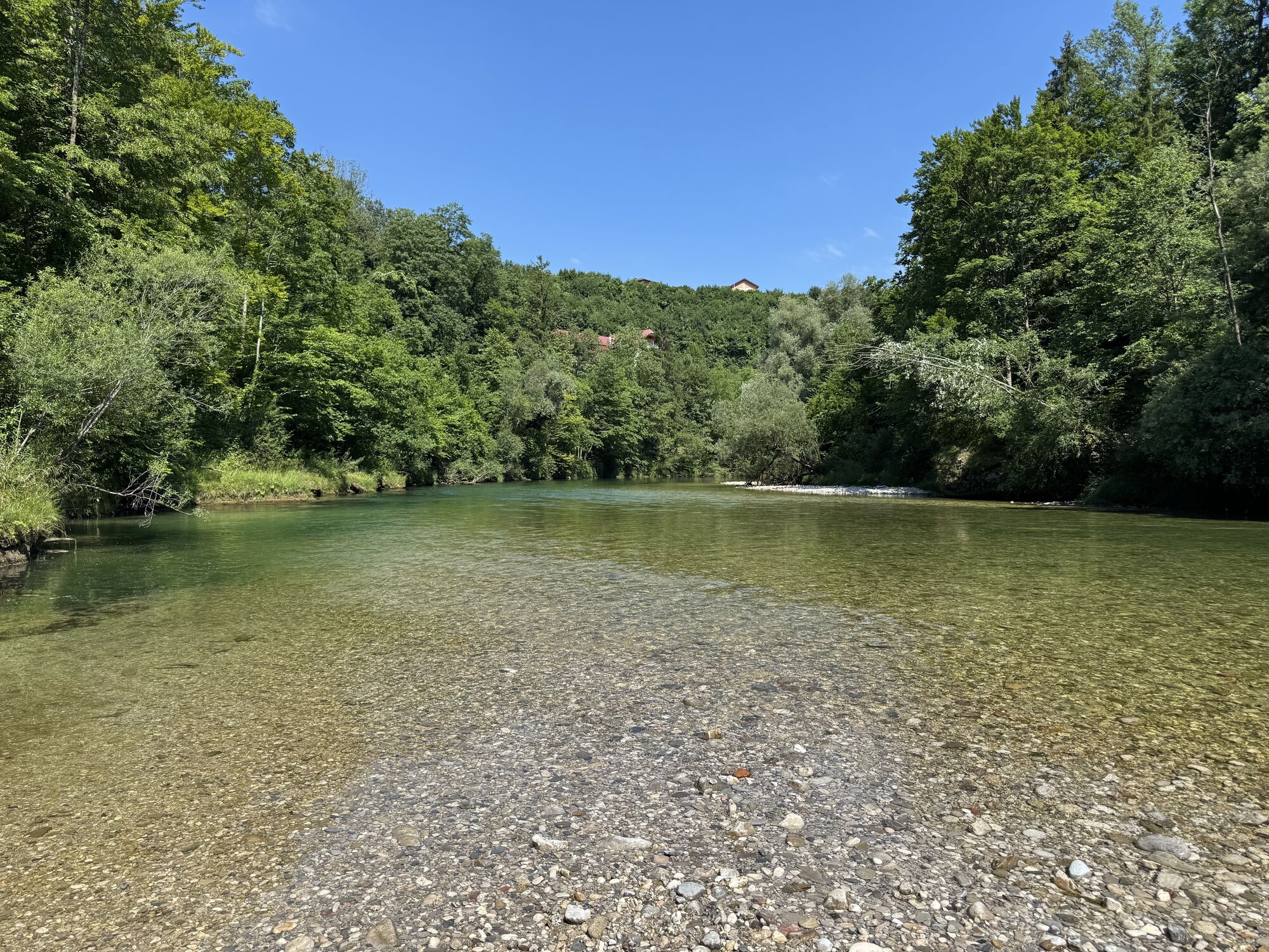
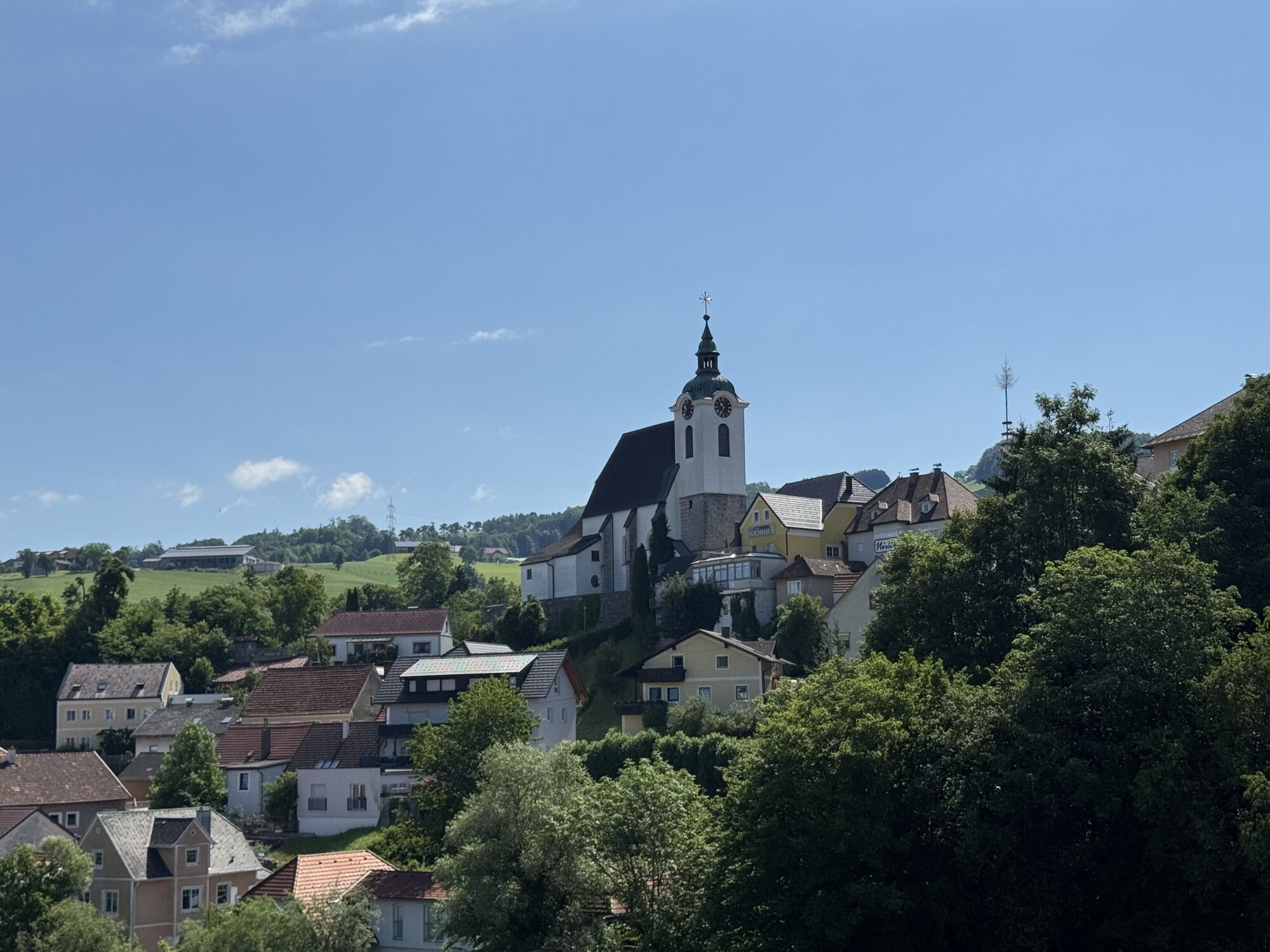
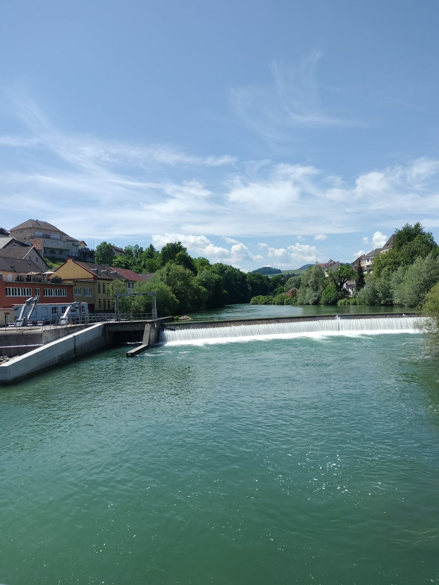
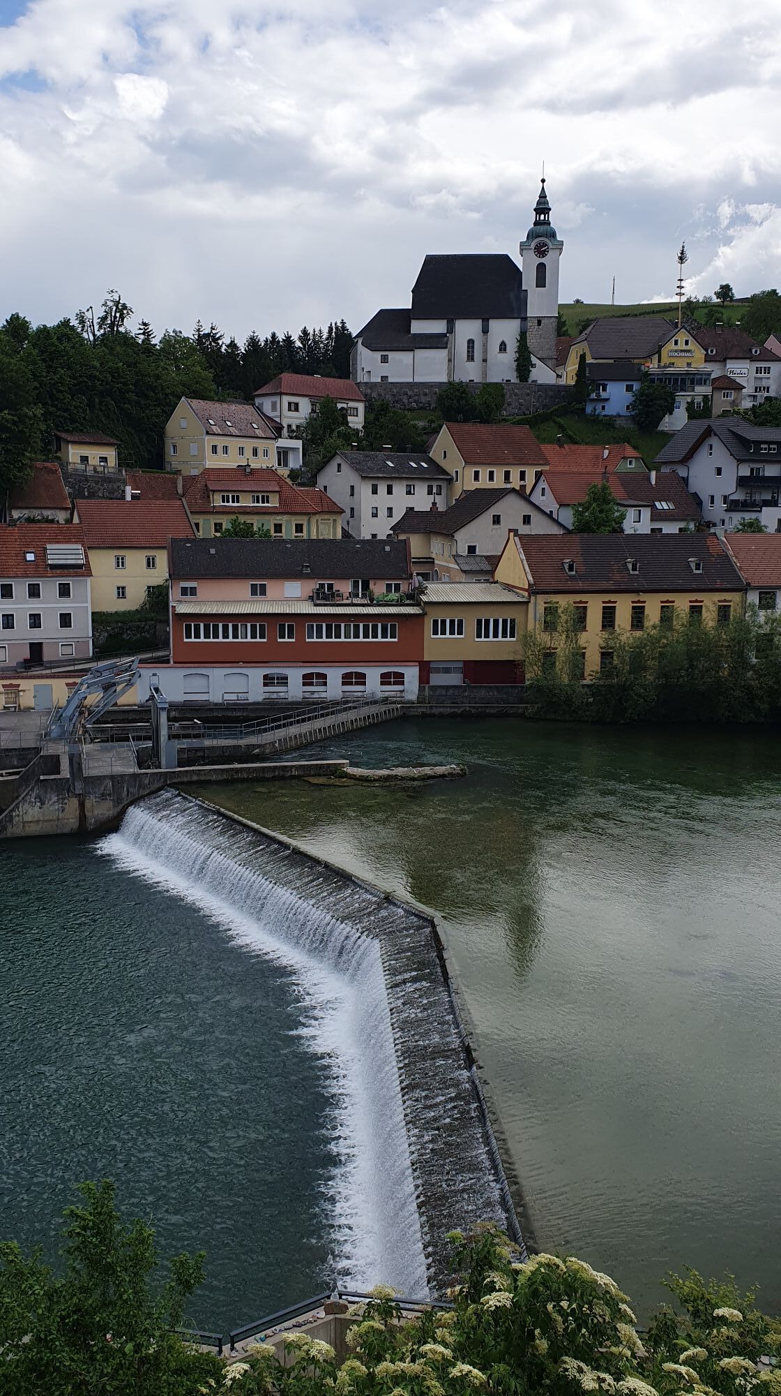
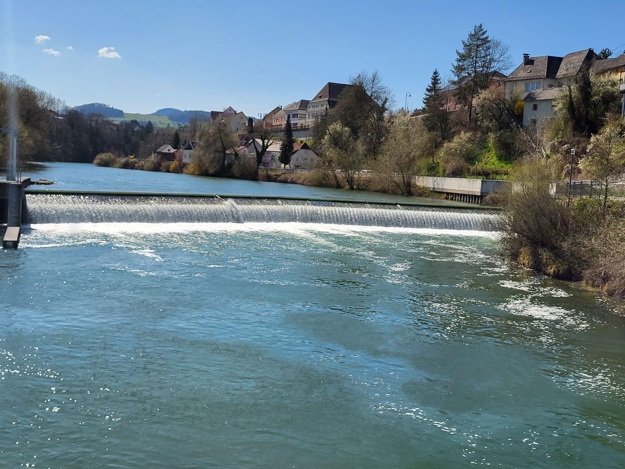
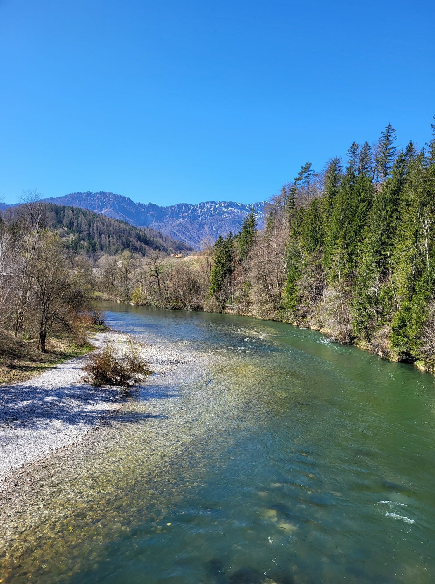
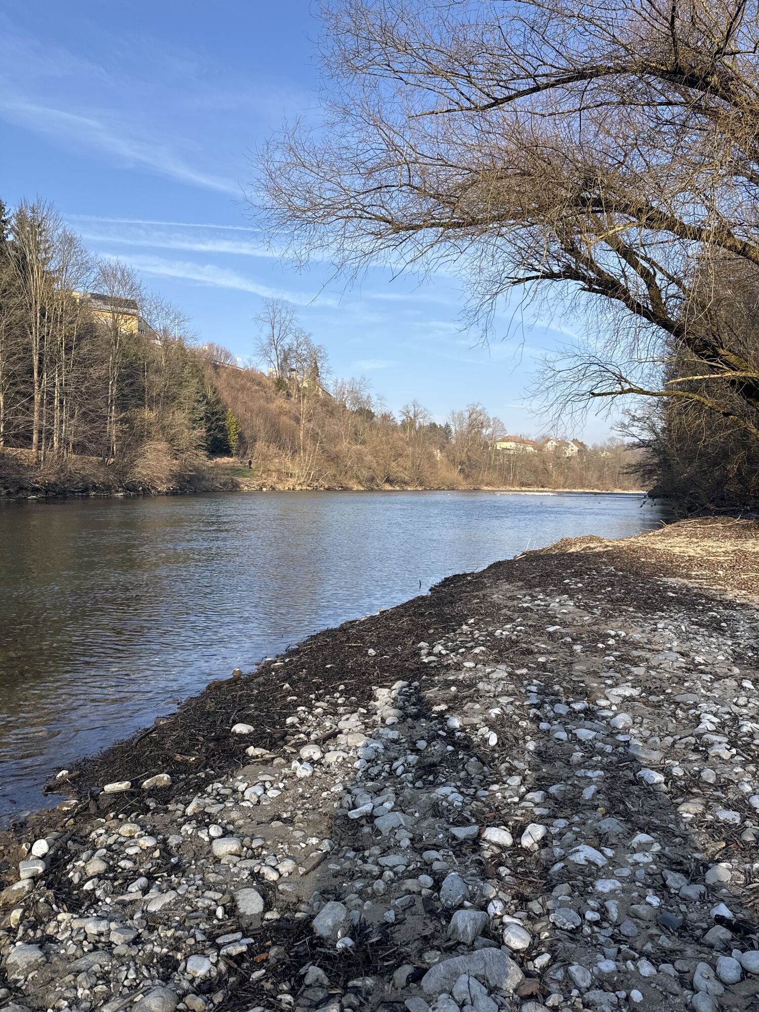
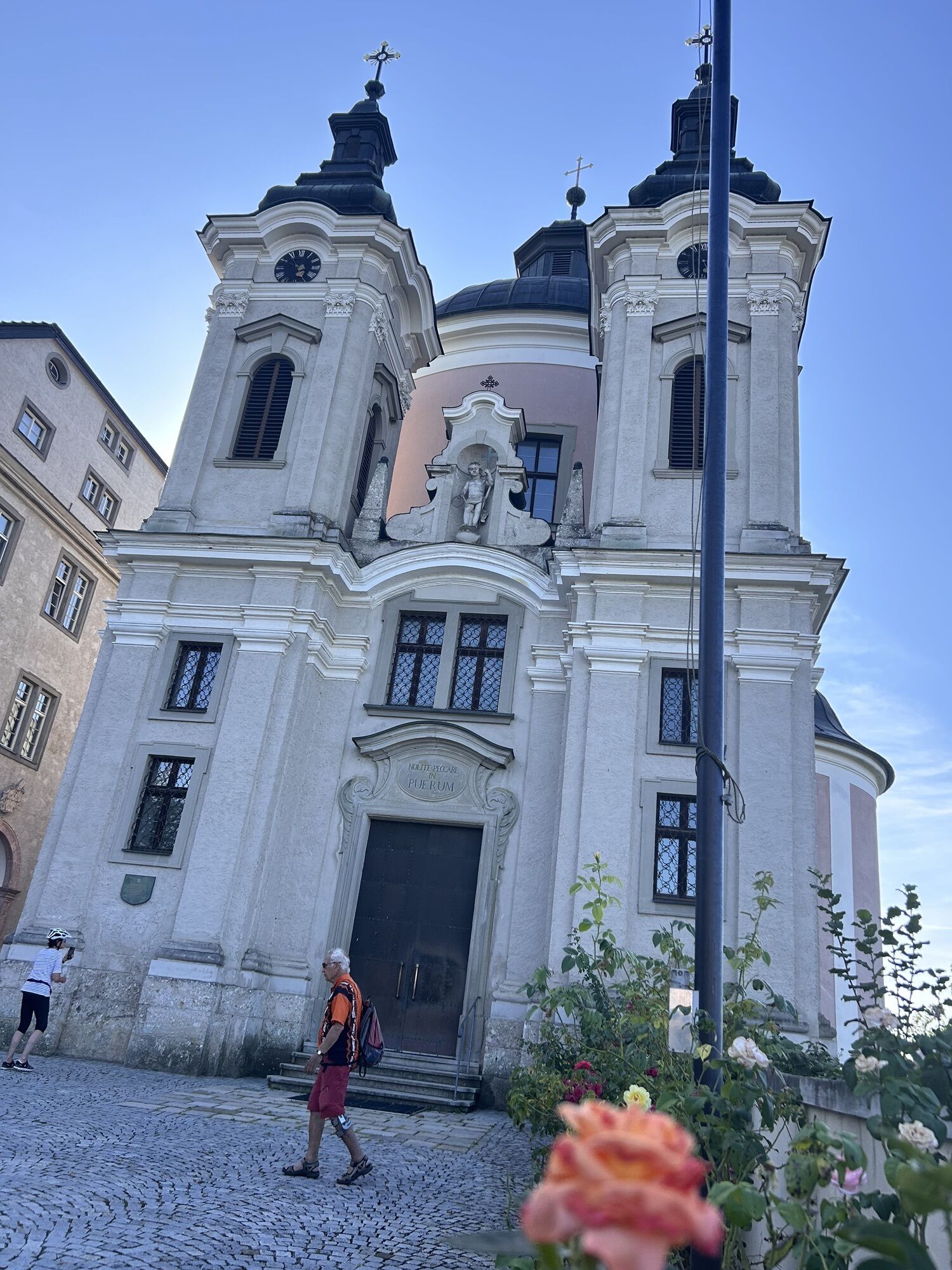
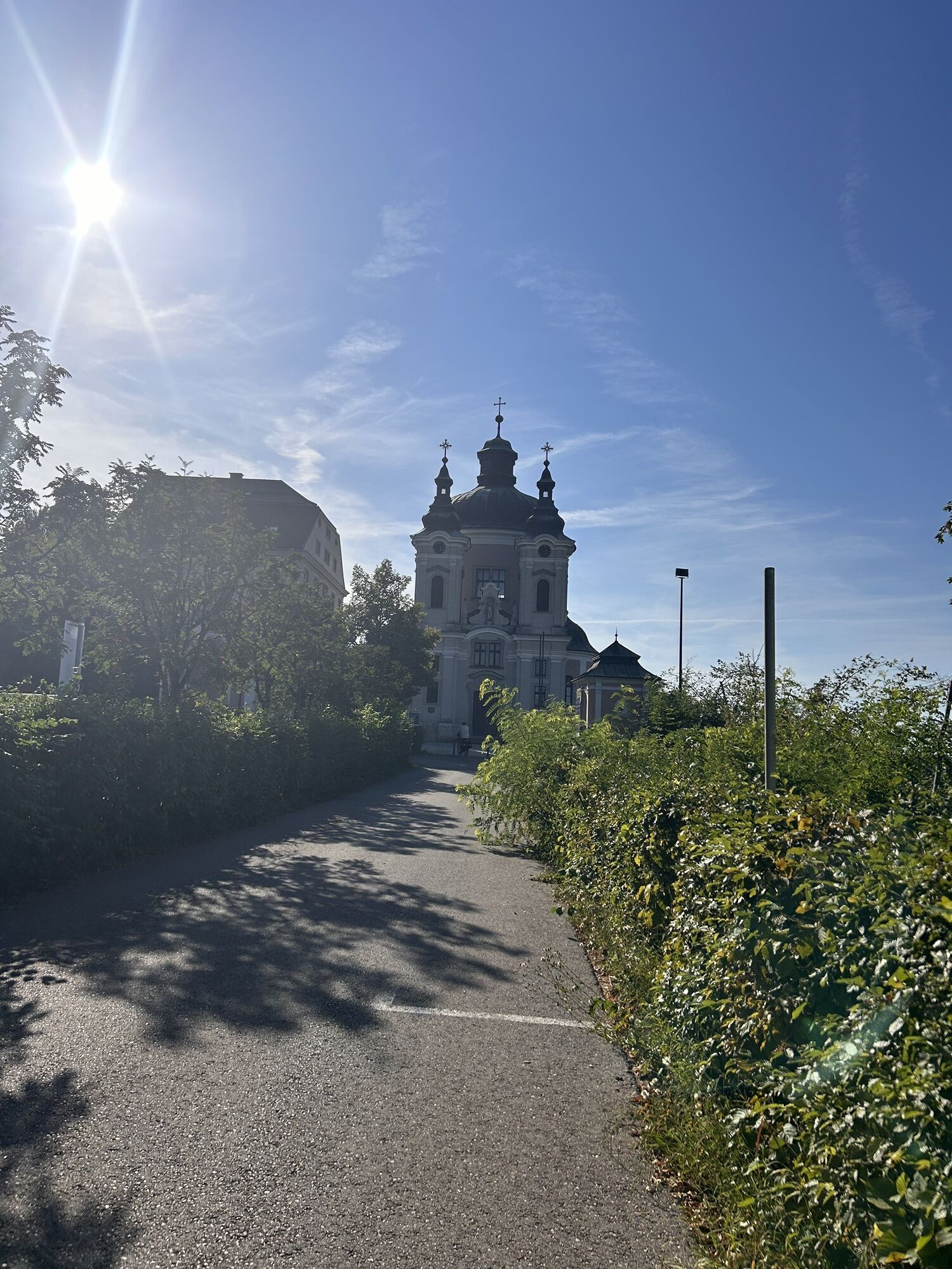
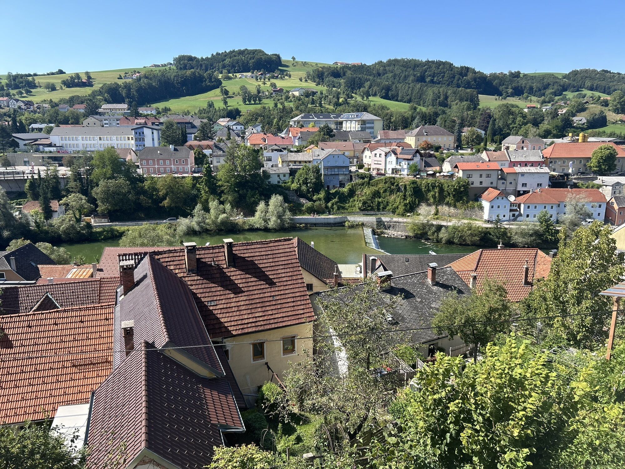
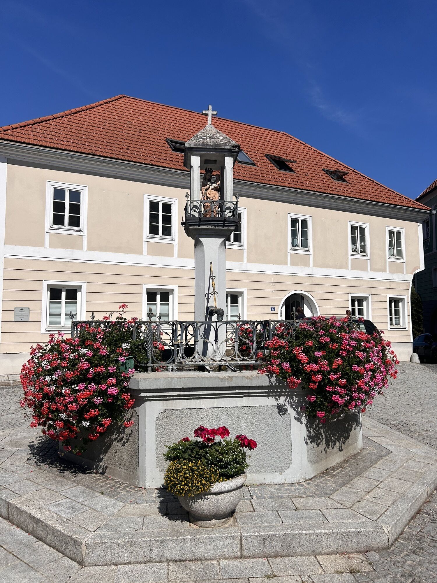
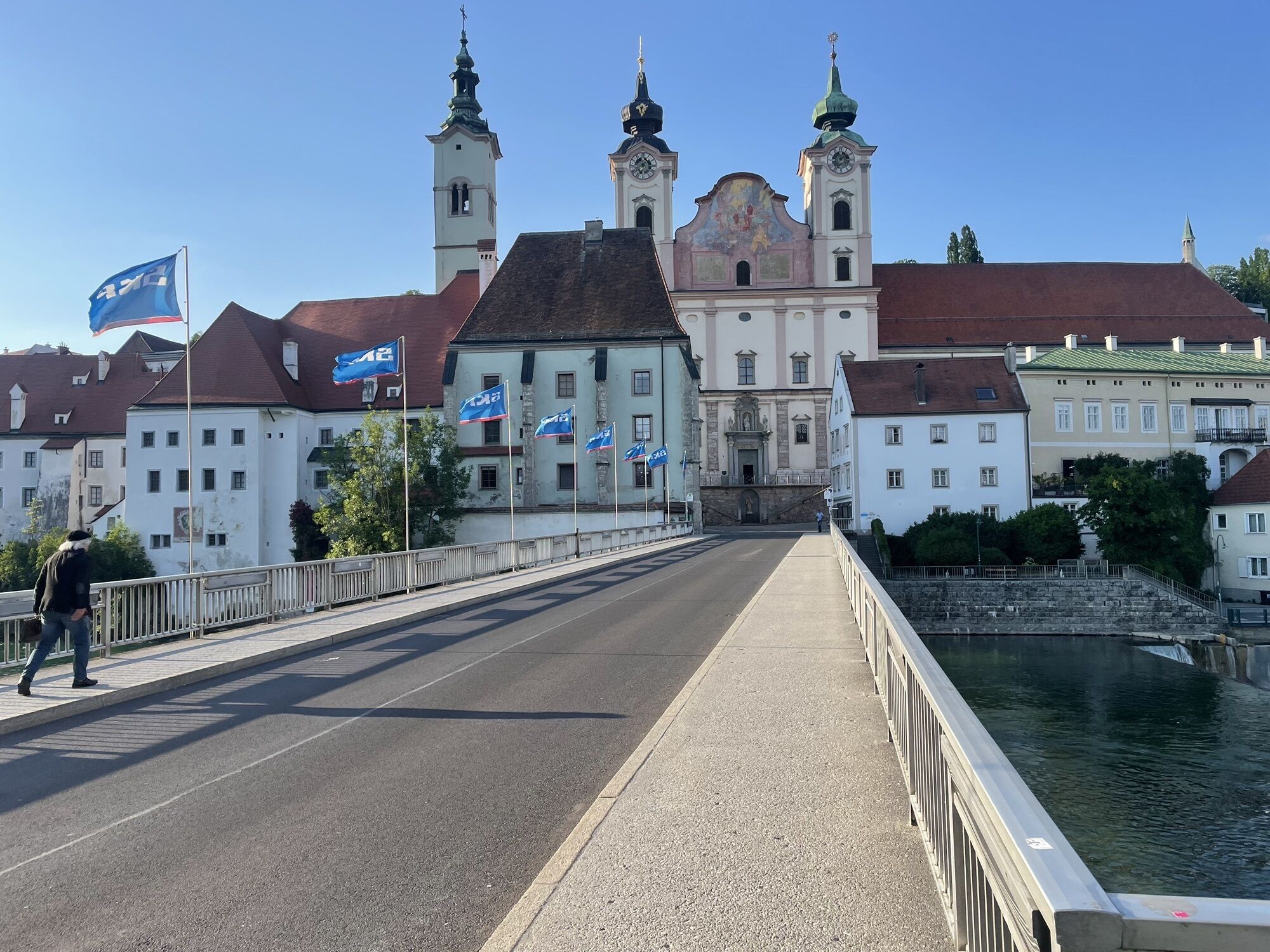
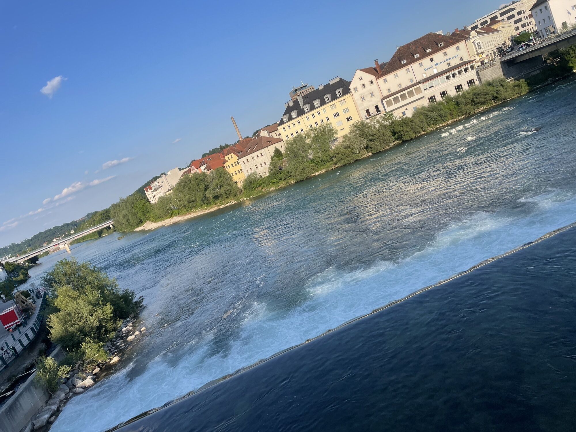
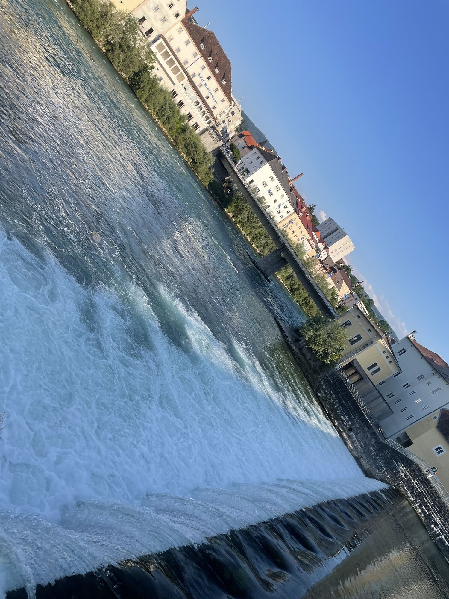
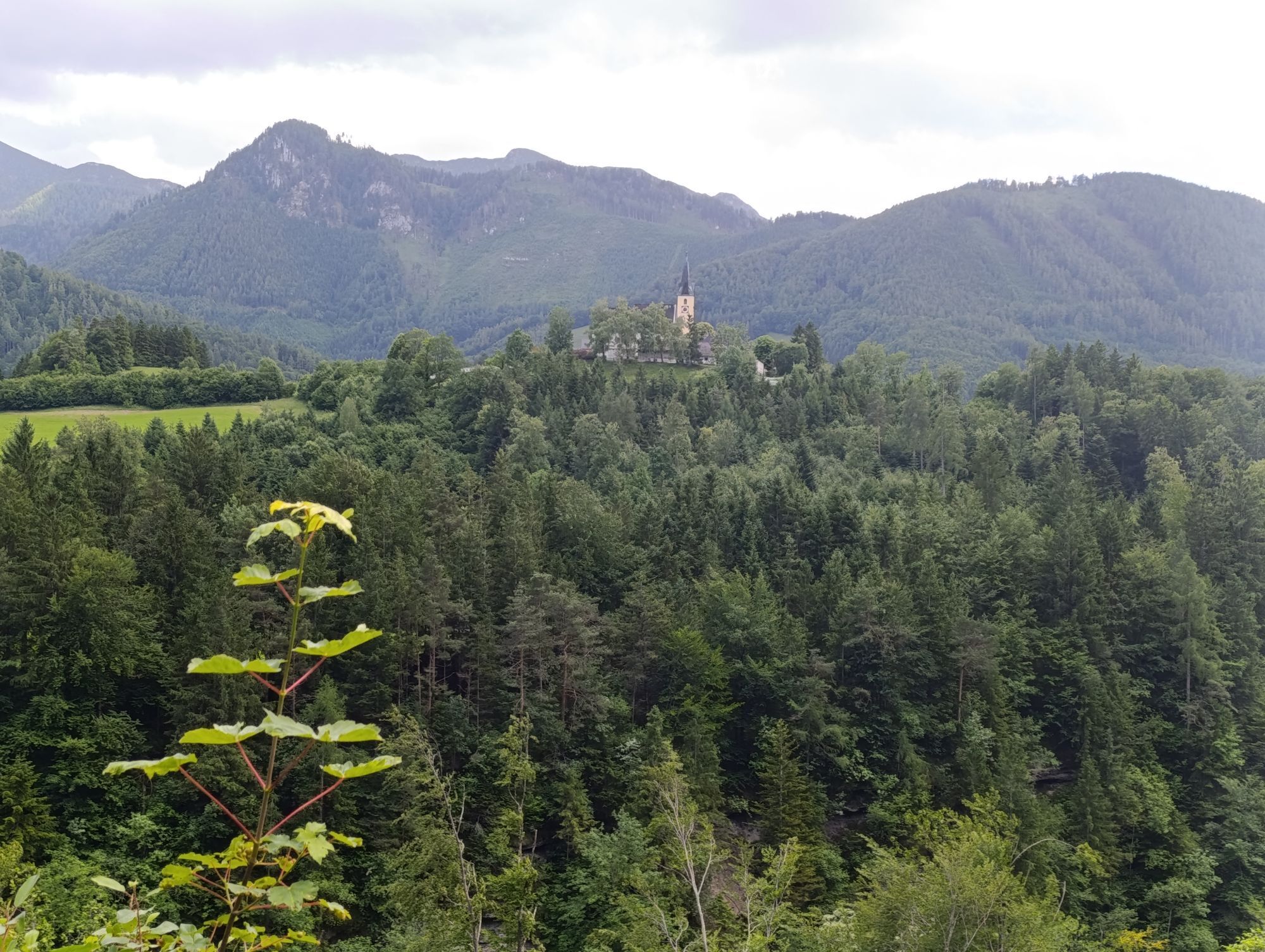
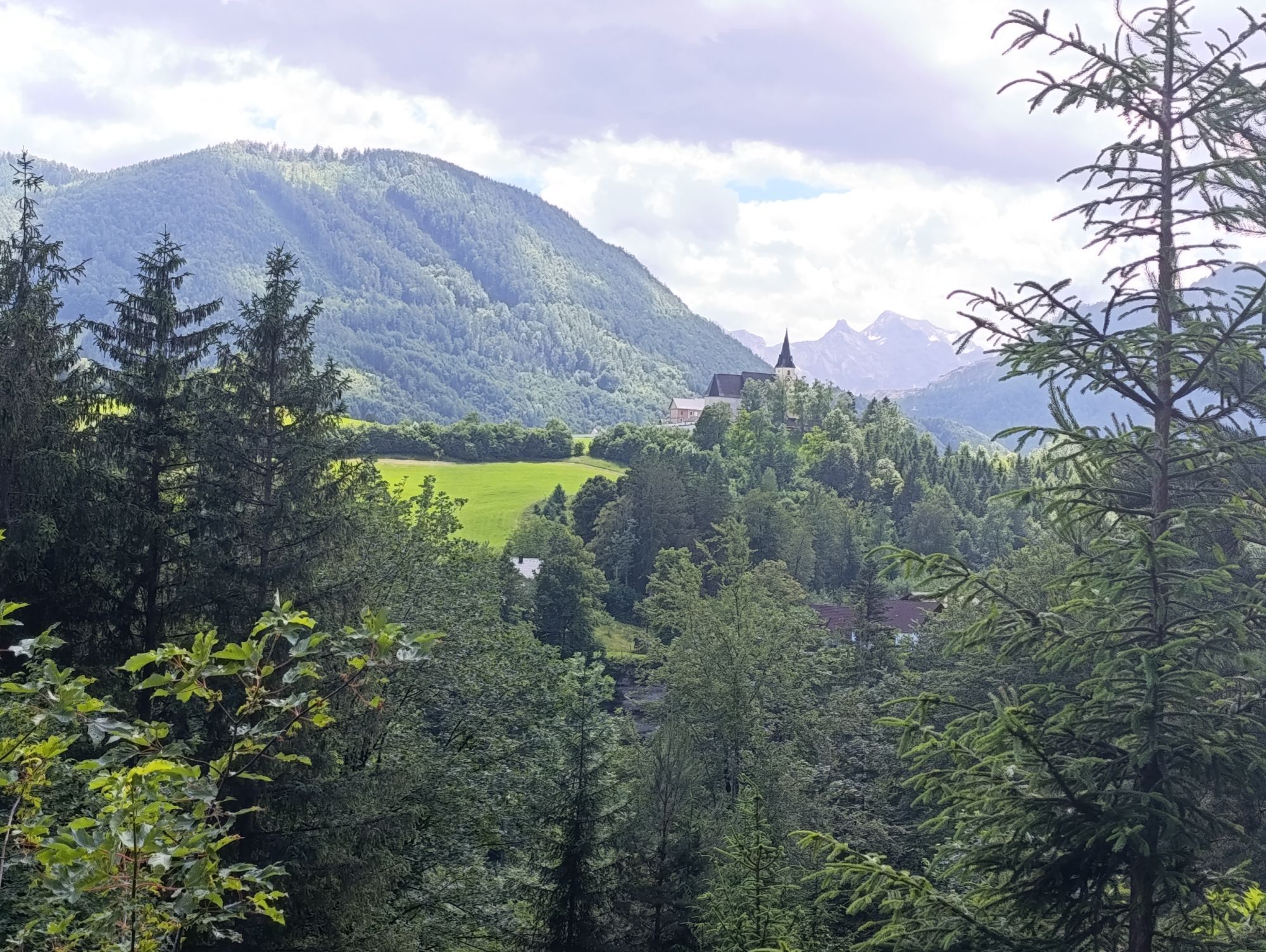
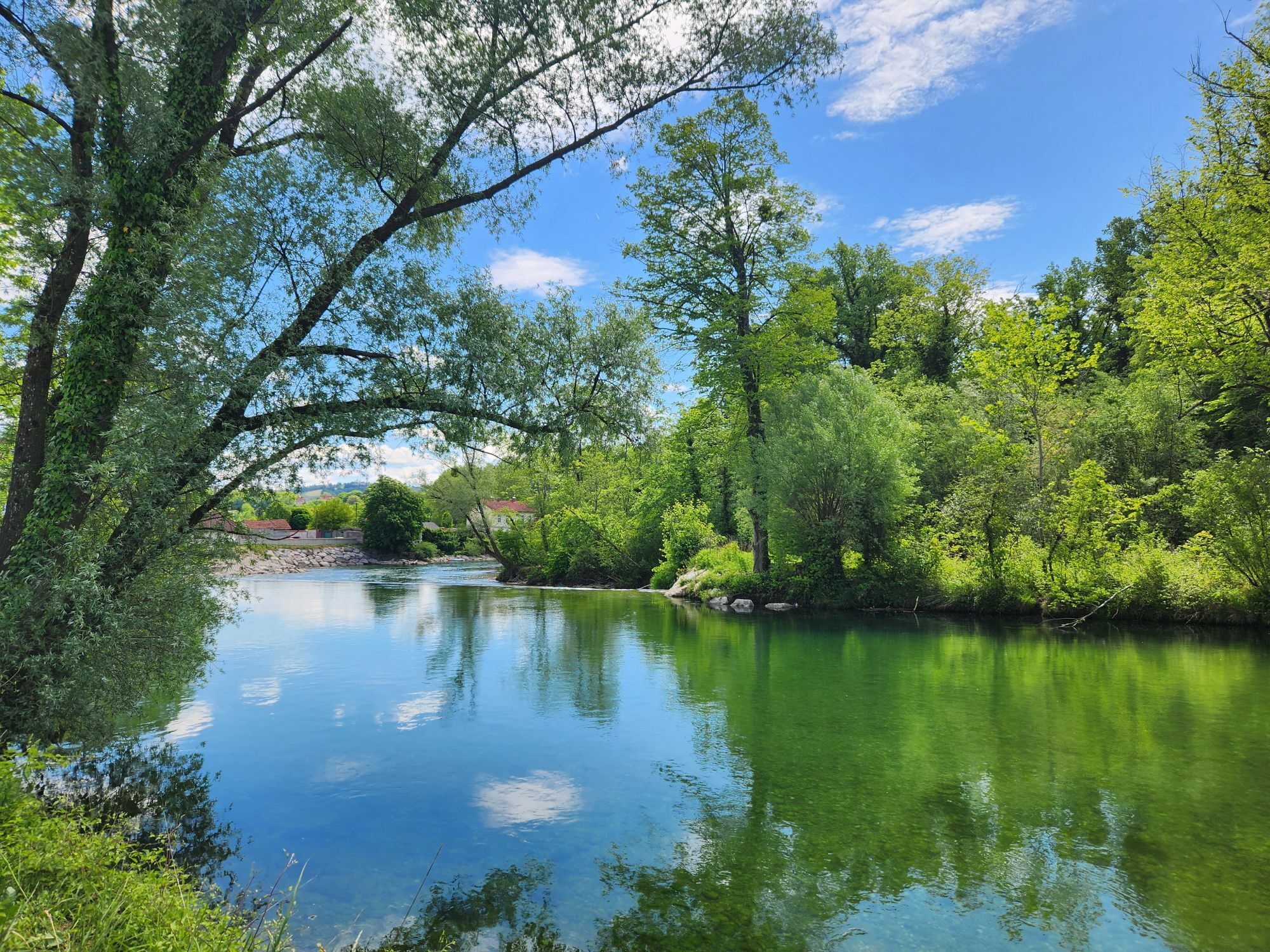
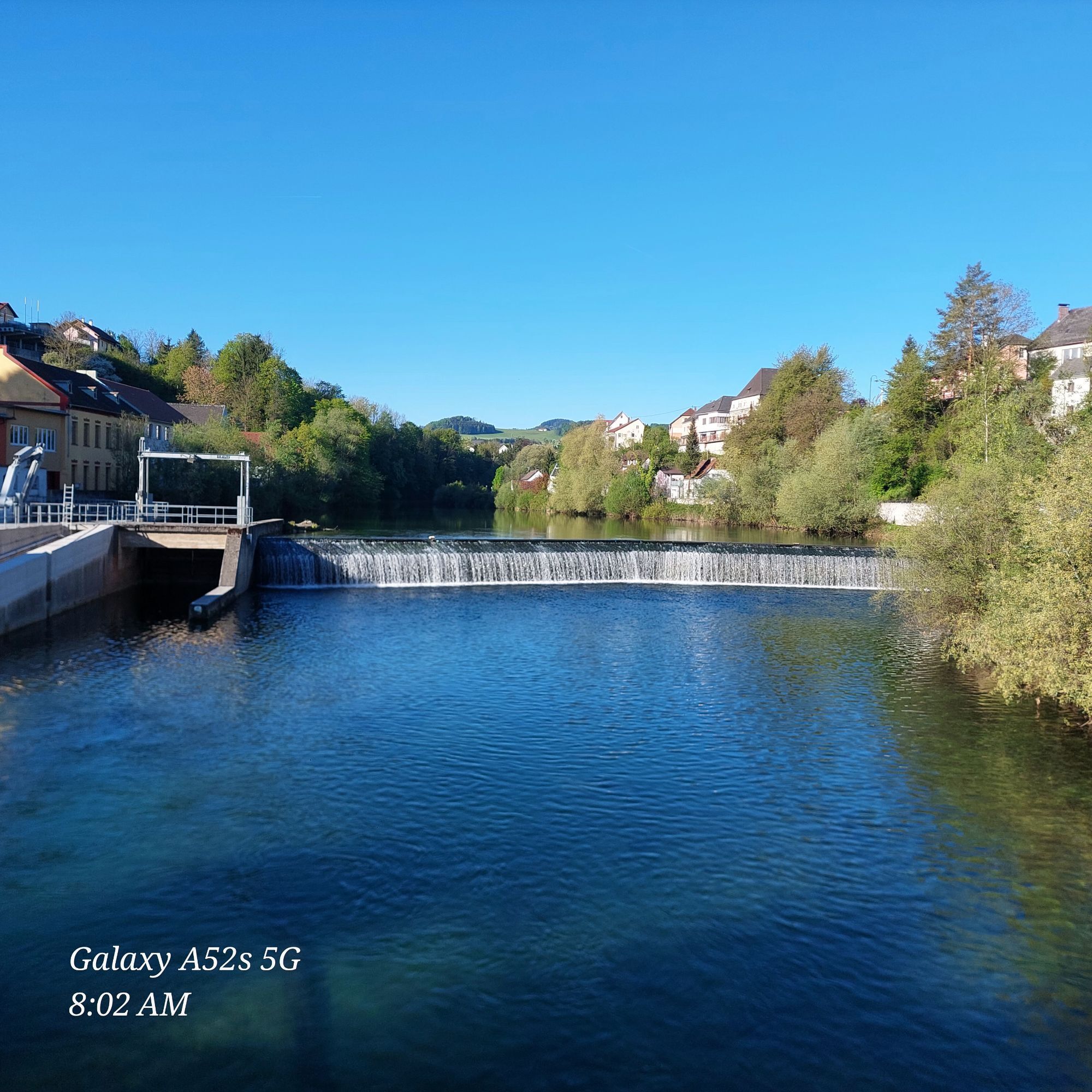
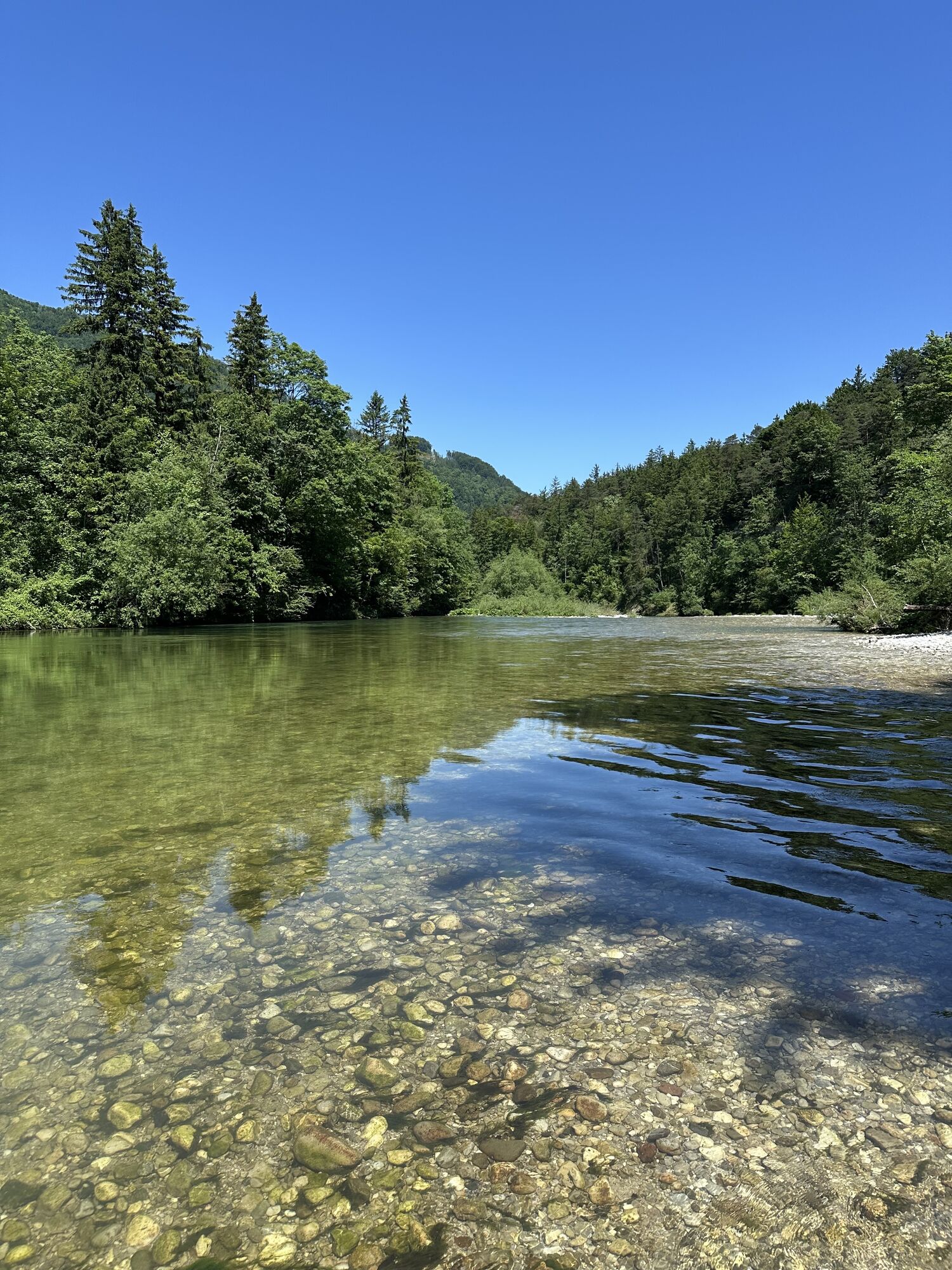
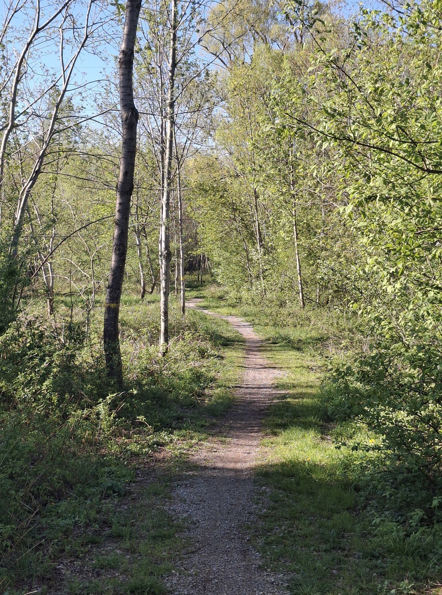
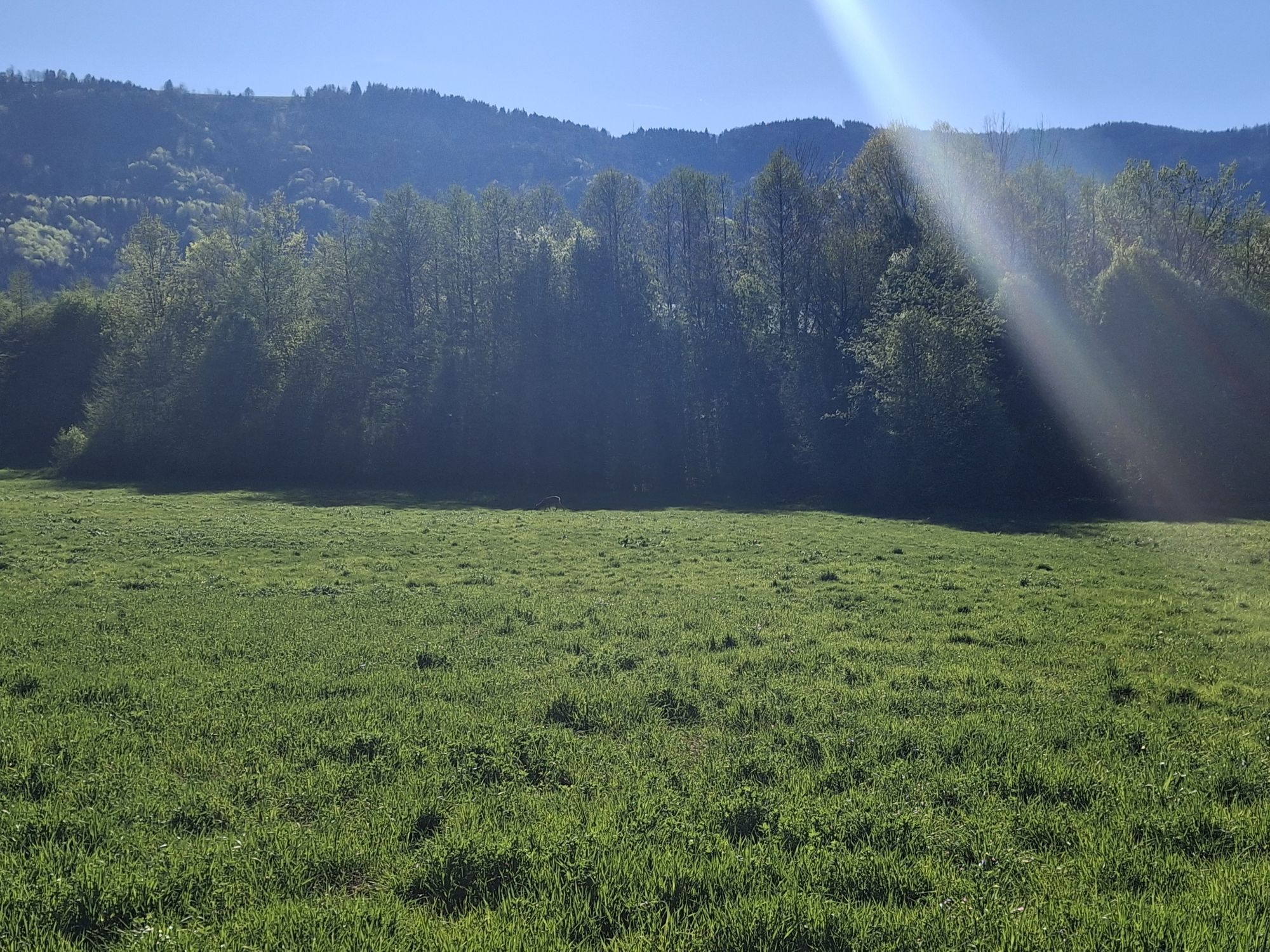
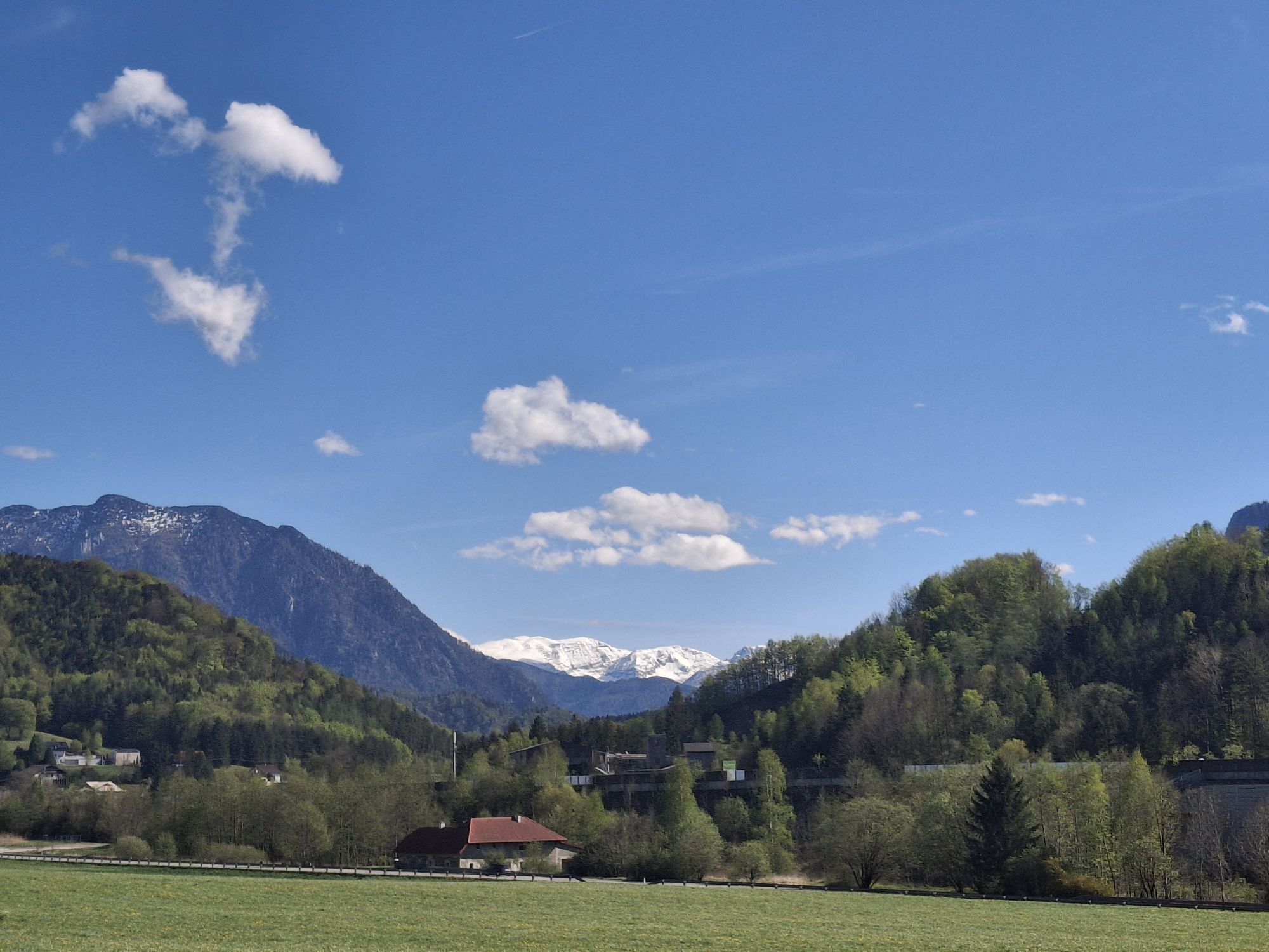
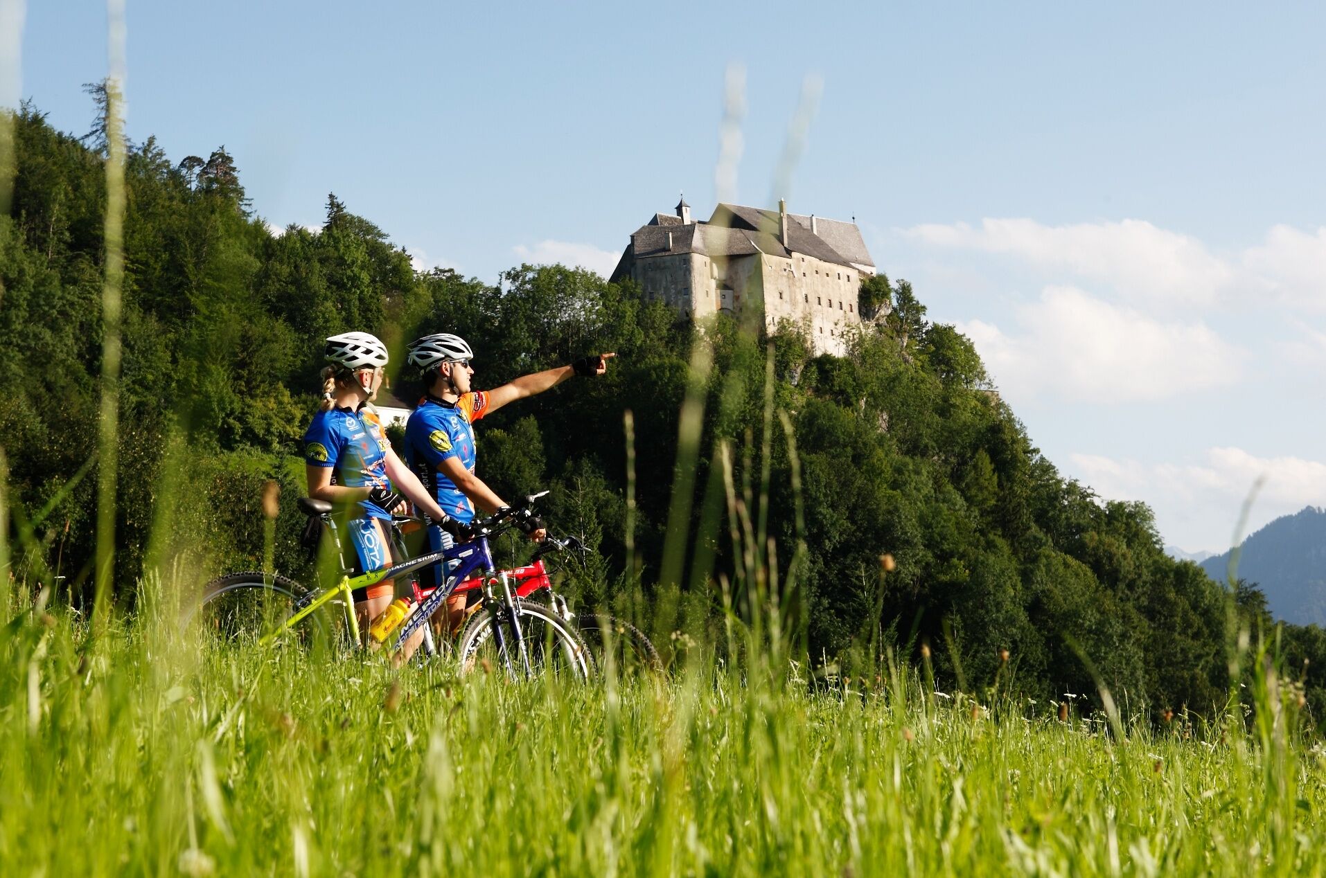
From the Reithoffer car park, it is best to cycle across the Steyrer Stadtplatz, through the romantic Wehrgraben out of town and follow the Steyrtal cycle path R 8 via Aschach/Steyr to Steinbach/Steyr and Grünburg. Continue through the magnificent floodplain along the Steyr river, past natural swimming spots, rest areas and adventure stations via Leonstein and the national park municipality of Molln – while enjoying the views of the Sengsen and the Tote Gebirge mountain ranges – to the turn-off to the Kremstal cycle path R 10. Then continue on cycle path R 10 via Kirchdorf until the end of the 1st stage in Schlierbach.
Overnight stays/stage locations
Numerous qualified "bicycle-friendly establishments", as marked, offer special accommodation options with tools for minor repairs, lockable bicycle rooms as well as sufficient information material on cycling in the Traunviertel region.
See the stage entry on websites of each respective region under MY RECOMMENDATIONS to find our BICYCLE-FRIENDLY ACCOMMODATIONS along the route.
Bicycle shuttle bus
A bicycle shuttle bus is offered on Saturdays/Sundays and public holidays from Steyr to Spital/Pyhrn (R 8 + R 31) and back.
The current departure times and stops can be found on this website: www.steyr-nationalpark.at
Must be booked in advance!
Culinary delights
The Steyr and Kremstal valleys are known for their regional specialities such as must and cider, natural juices, sheep cheese, and he Kalkalpen National Park organic beef and game. A visit to the chocolate factory in Kirchdorf or to the show cheese factory in Schlierbach Abbey should be a treat!
Nature enjoyment
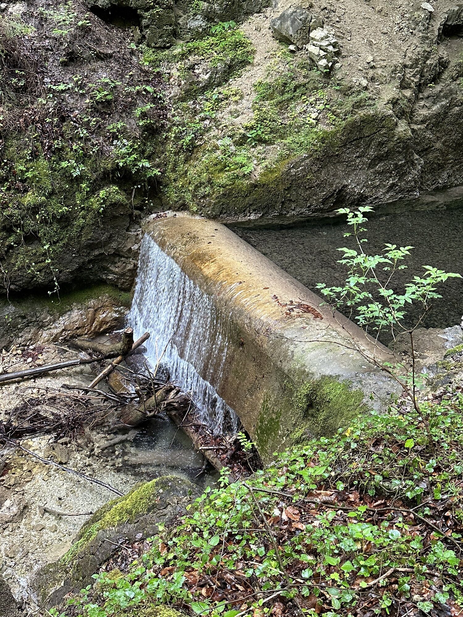
A detour to the Rinnerberg waterfall in Leonstein, to the Rinnende Mauer in Molln or to the Kremsursprung in Micheldorf pays off!
Culture pleasure
Steyr: Night watchmen guided tours, music festival in the castle moat, theatre plays by the river, the Schubert festival and much more
Steinbach/Steyr: Messerer Museum
Grünburg: Steyrtal Museum Railway
Leonstein: Open-air Museum Schmiedleithen
Molln: Maultrommelmacher, Museum im Dorf, Sword and Harness Forge, Harmonica Museum, Hoisn Haus, National Park Centre
Kirchdorf: guided city walks
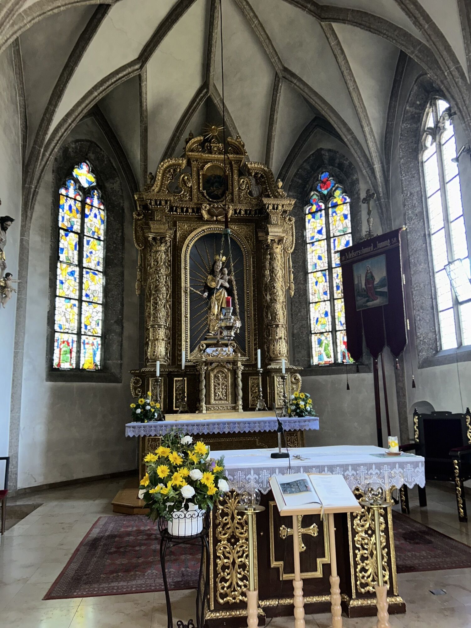
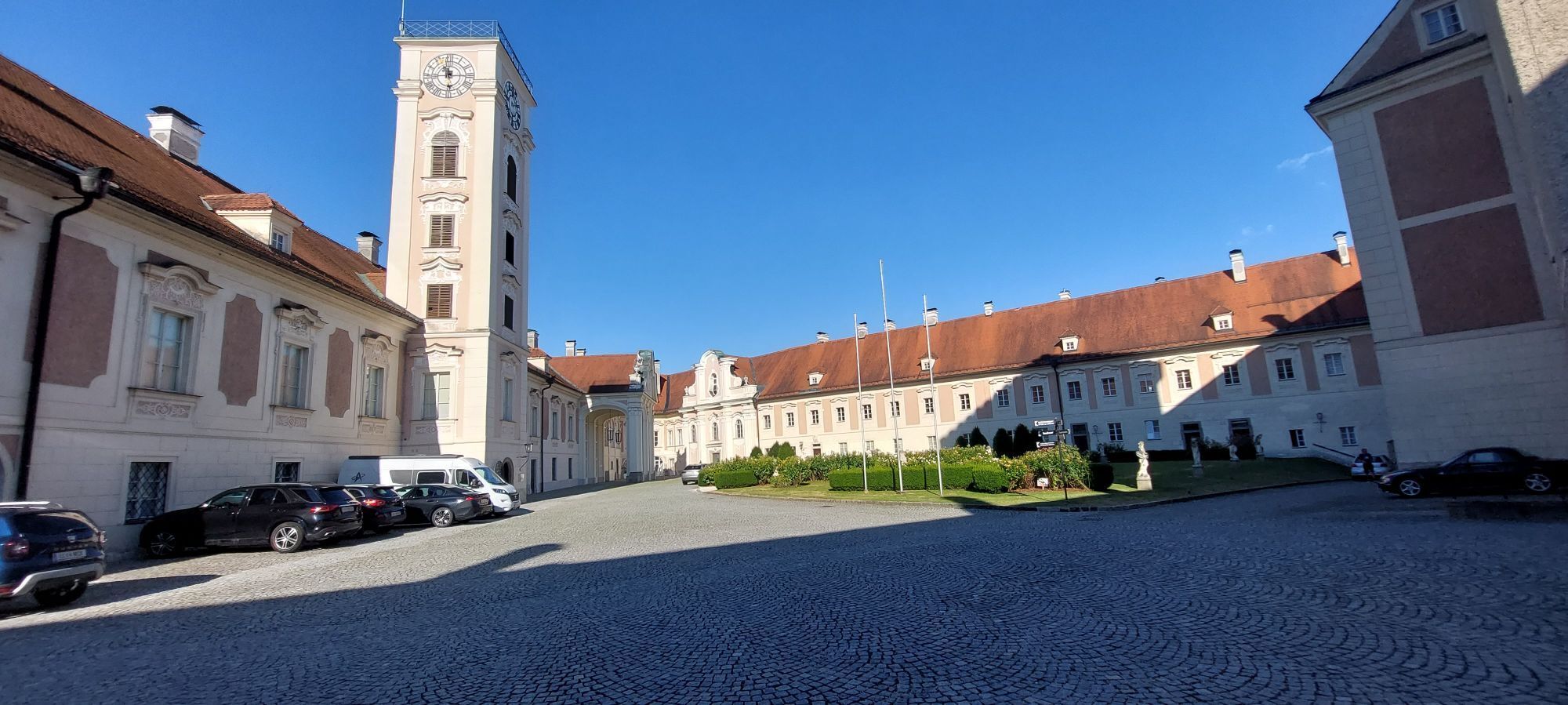
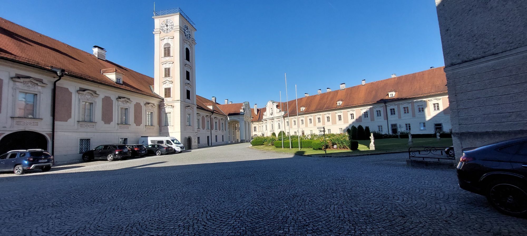
Schlierbach: Schlierbach Abbey, glass painting, cheese dairy
Insider tip
Steyrtal Museum Railway! If you travel from June to September on weekends, take the nostalgic Steyrtal Museumsbahn for the first 20 kilometres of the route. It is the oldest steam-powered narrow-gauge railway in Austria. The route runs from Steyr to Grünburg along the Steyr river.
There is a separate wagon for bicycles and the bike transport is free of charge!
For the timetable see www.steyrtalbahn.at
Tak
Sun and rain protection, up-to-date maps
Since the stages are all over 50 km long, it is recommended to take enough to drink and snack for refreshment in between!
at the starting point: Reithoffergelände Steyr
www.steyr-nationalpark.at
Free bike maps simply request at www.steyr-nationalpark.at!
Kamery internetowe z trasy
Uzyskaj wgląd
Zawsze na żywo z ponad 9 500 kamer internetowych. bergfex Jako użytkownik Pro, możesz teraz zobaczyć odpowiednie kamery internetowe dla wielu wycieczek w aplikacji wycieczki od. Pozwala to na bezpośredni podgląd aktualnych warunków.



Popularne wycieczki w okolicy
-
4,7
Bergwanderung auf den Spering
średniWędrówka 7,50 km -
4,7
Grünburger Hut via Dorngraben Molln
średniWędrówka 3,43 km -
4,6
Schoberstein (from Molln)
średniWędrówka 3,63 km -
4,6
Dürres Eck - Gaisberg - Hochbuchberg
średniWędrówka 11,2 km -
4,5
Rinnende Mauer - Gorge Trail
średniWędrówka 7,20 km -
4,6
Pfaffenmauer - Schoberstein - Gipfel der Lust Gasthof Klausriegler, Oberösterreich/Österreich
średniWędrówka 9,72 km -
4,2
Rinnerberger Waterfall - Gorge
średniWędrówka 7,55 km -
4,4
Ternberg -Schoberstein
średniWędrówka 6,60 km -
4,7
Kleiner und Großer Landsberg (3.7.2019) mit Sonnenuntergang
średniWędrówka 3,51 km -
4,4
Nackter Kalbling & Pfannstein & Rauher Kalbling
średniWędrówka 12,0 km
Wędrówki i tropienie


Nie przegap ofert i inspiracji na następne wakacje
Twój adres e-mail została dodana do listy mailingowej.





