






Upper Austria Mariazellerweg: D: 1st stage: Pöstlingberg - St. Florian
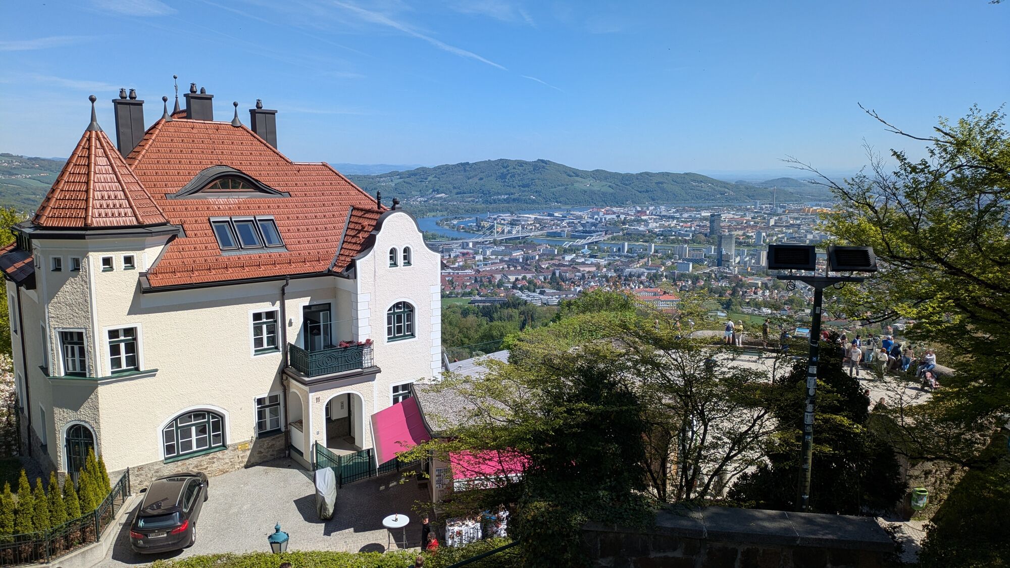
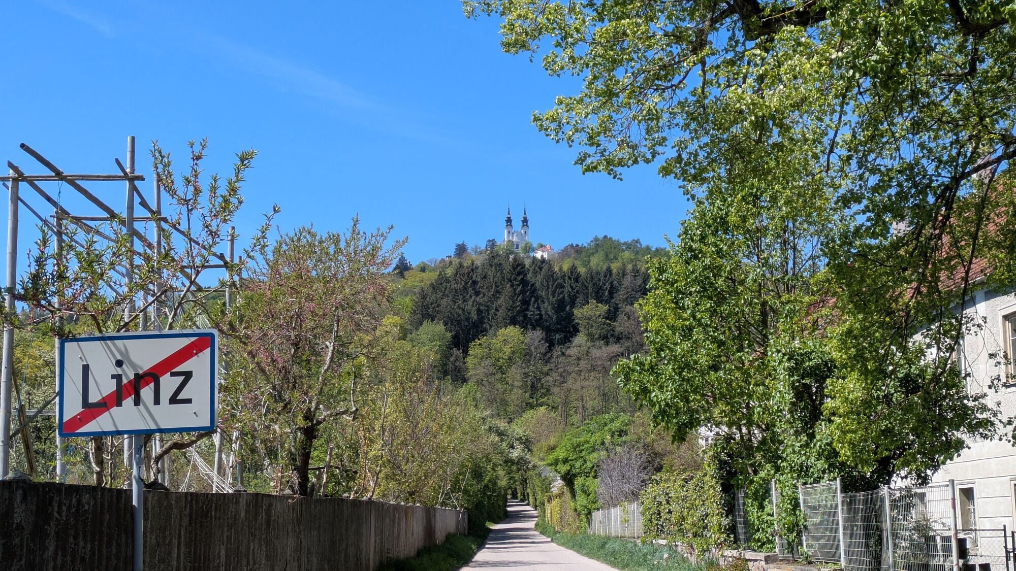
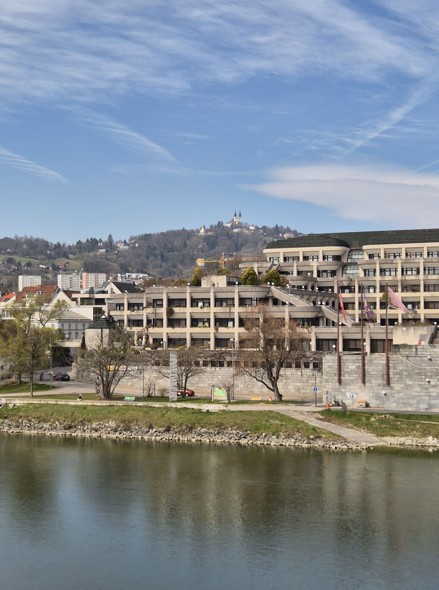
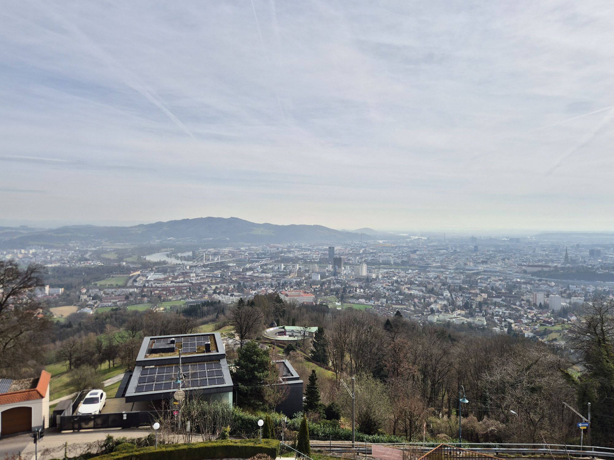
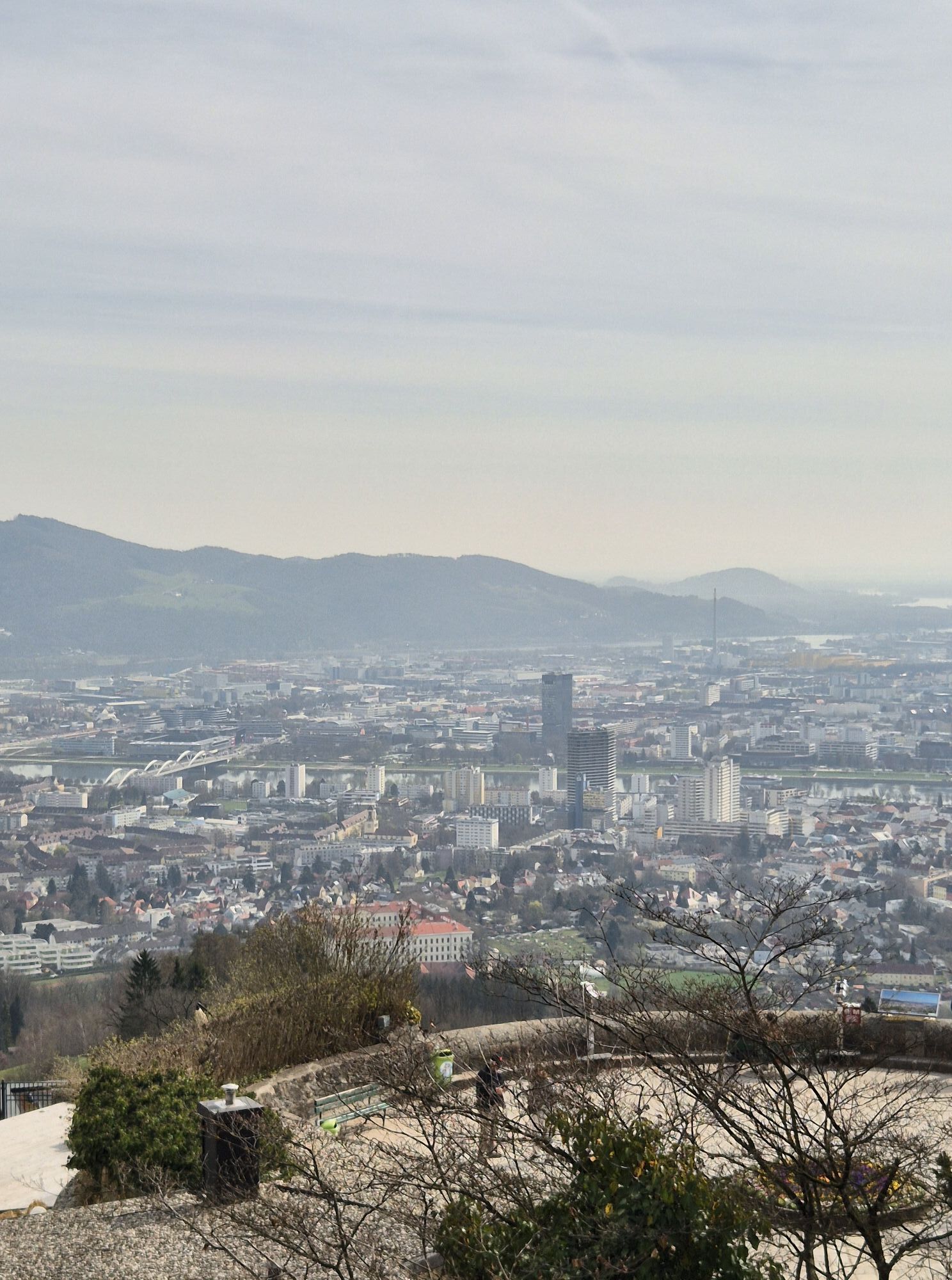
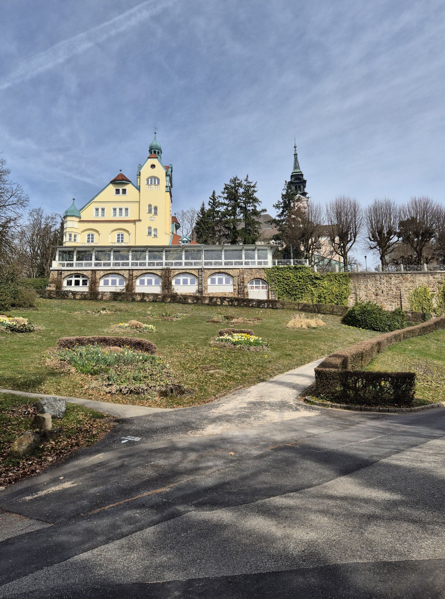
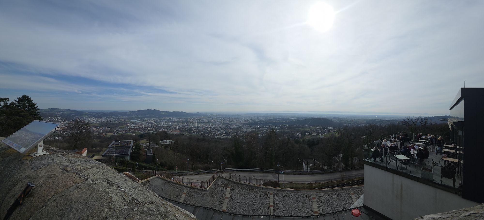
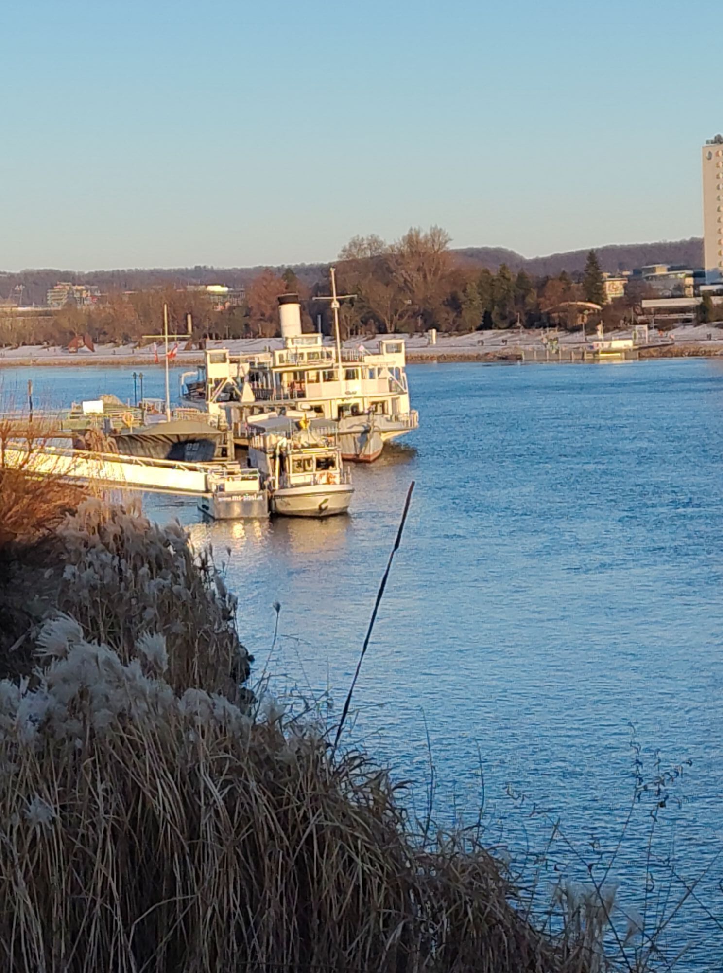
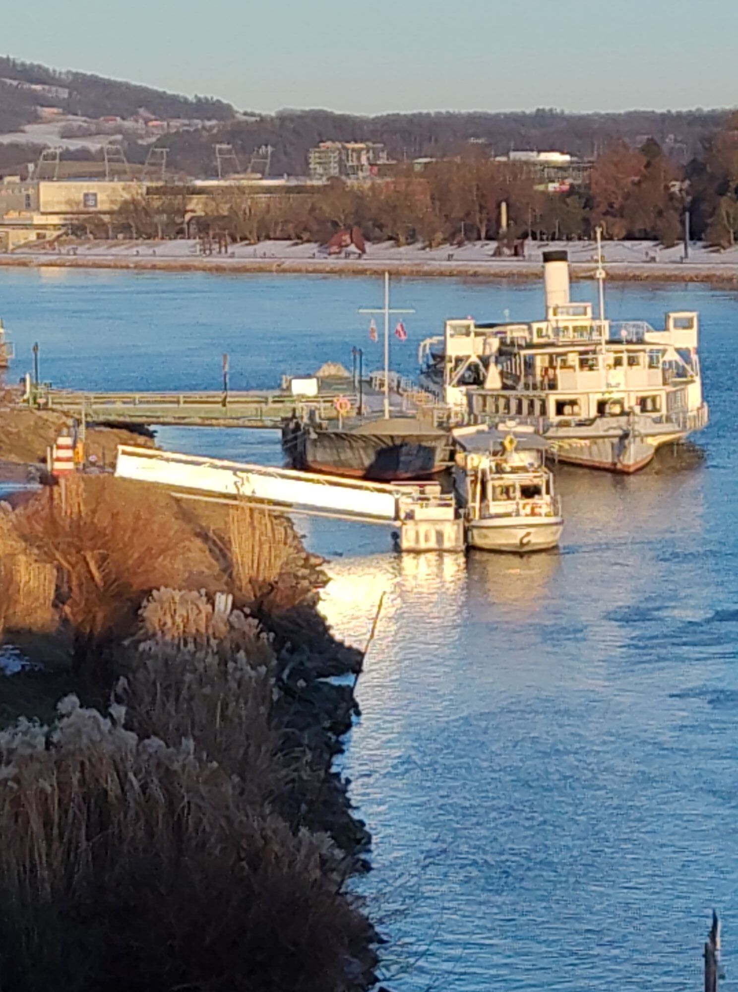
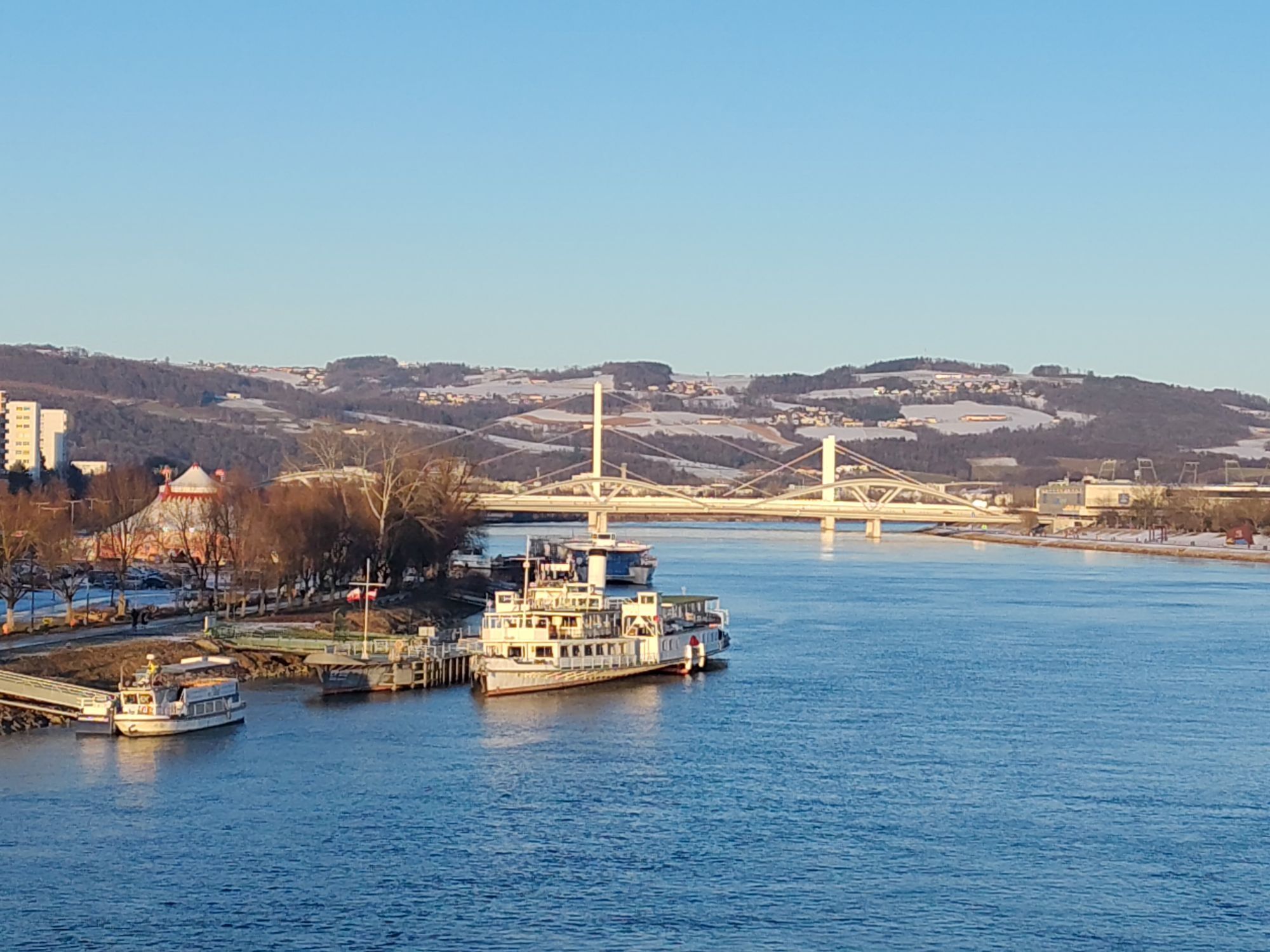
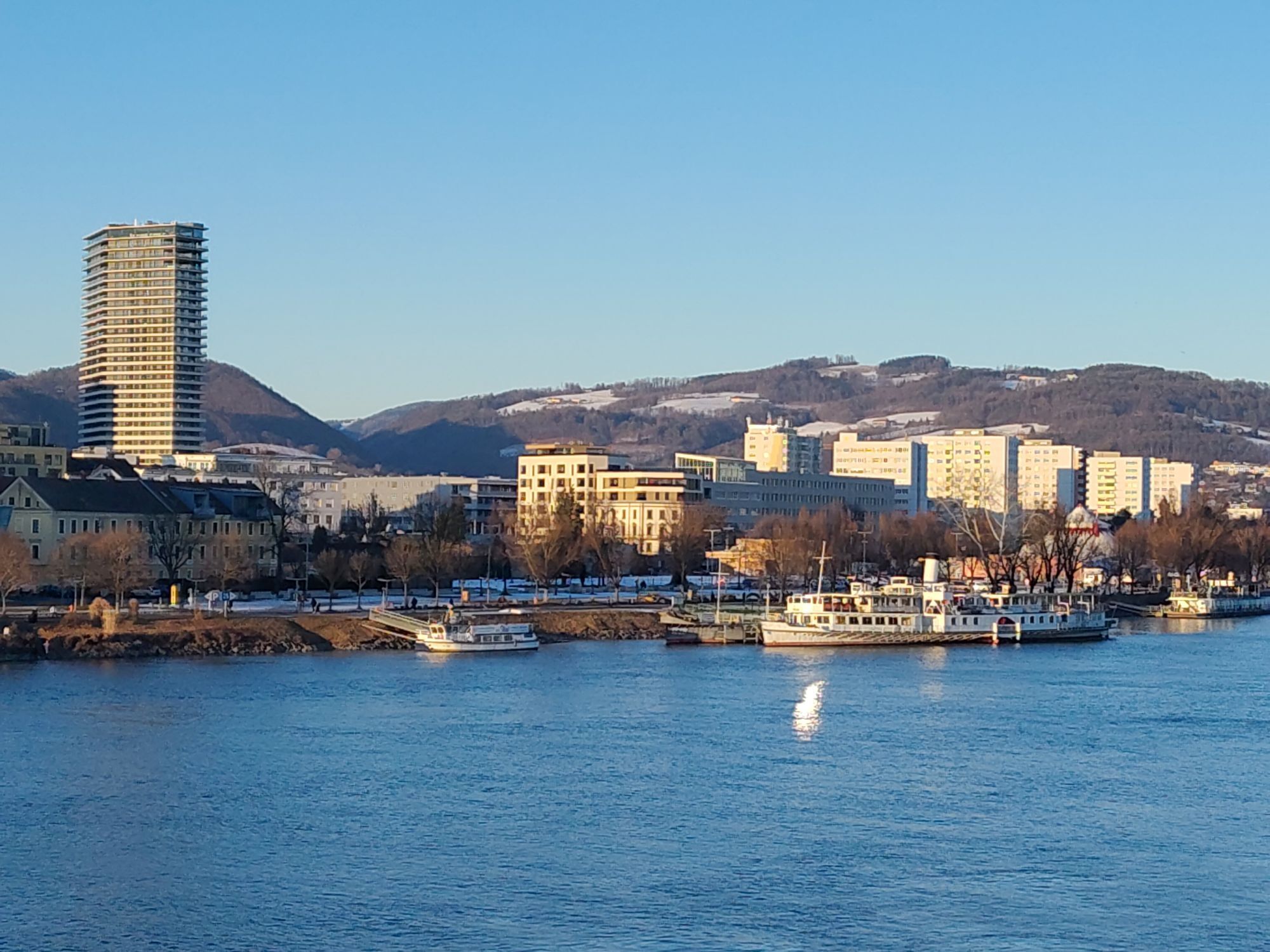
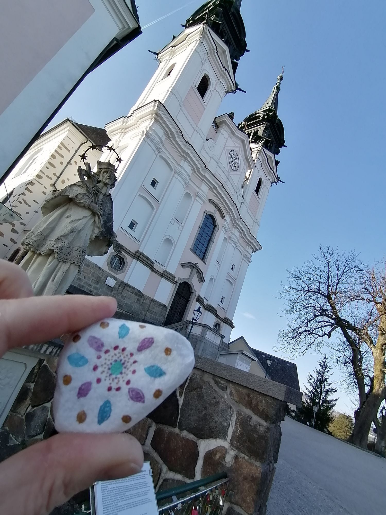
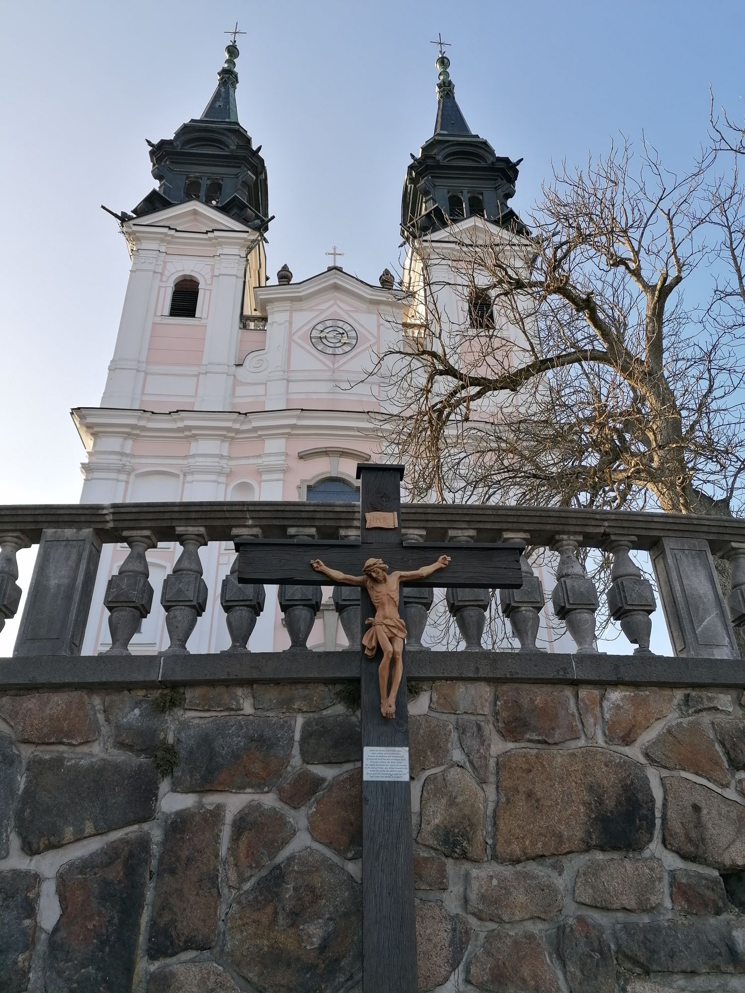
The starting point for the first stage of the Mariazell Pilgrimage Trail is the beautiful pilgrimage church, the "Basilica of the Seven Sorrows of Mary", on the Pöstlingberg above Linz. From up here, you...
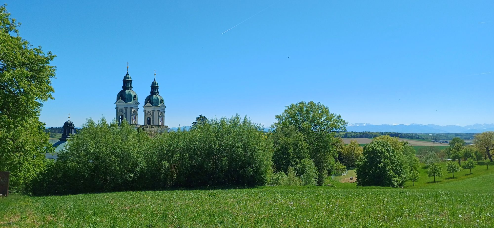
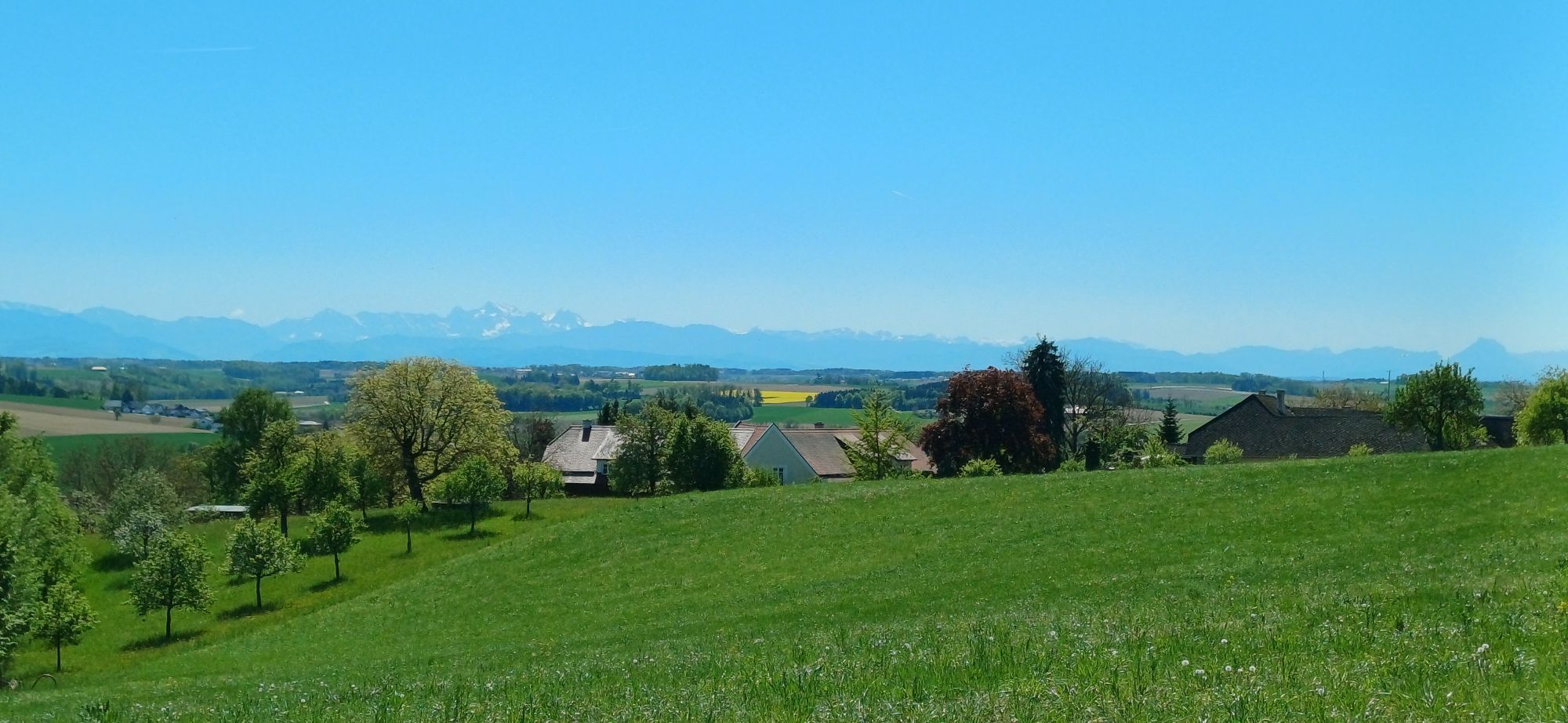
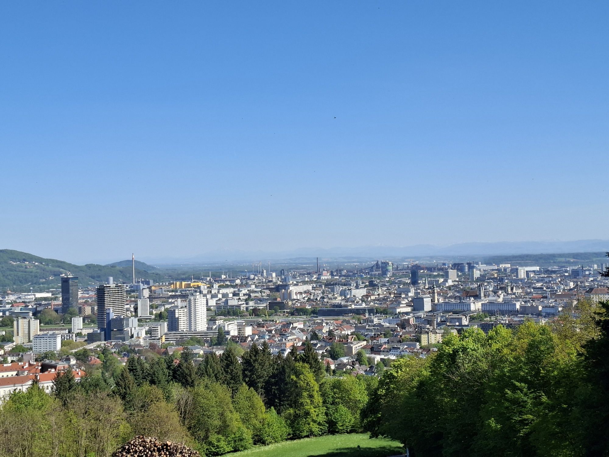
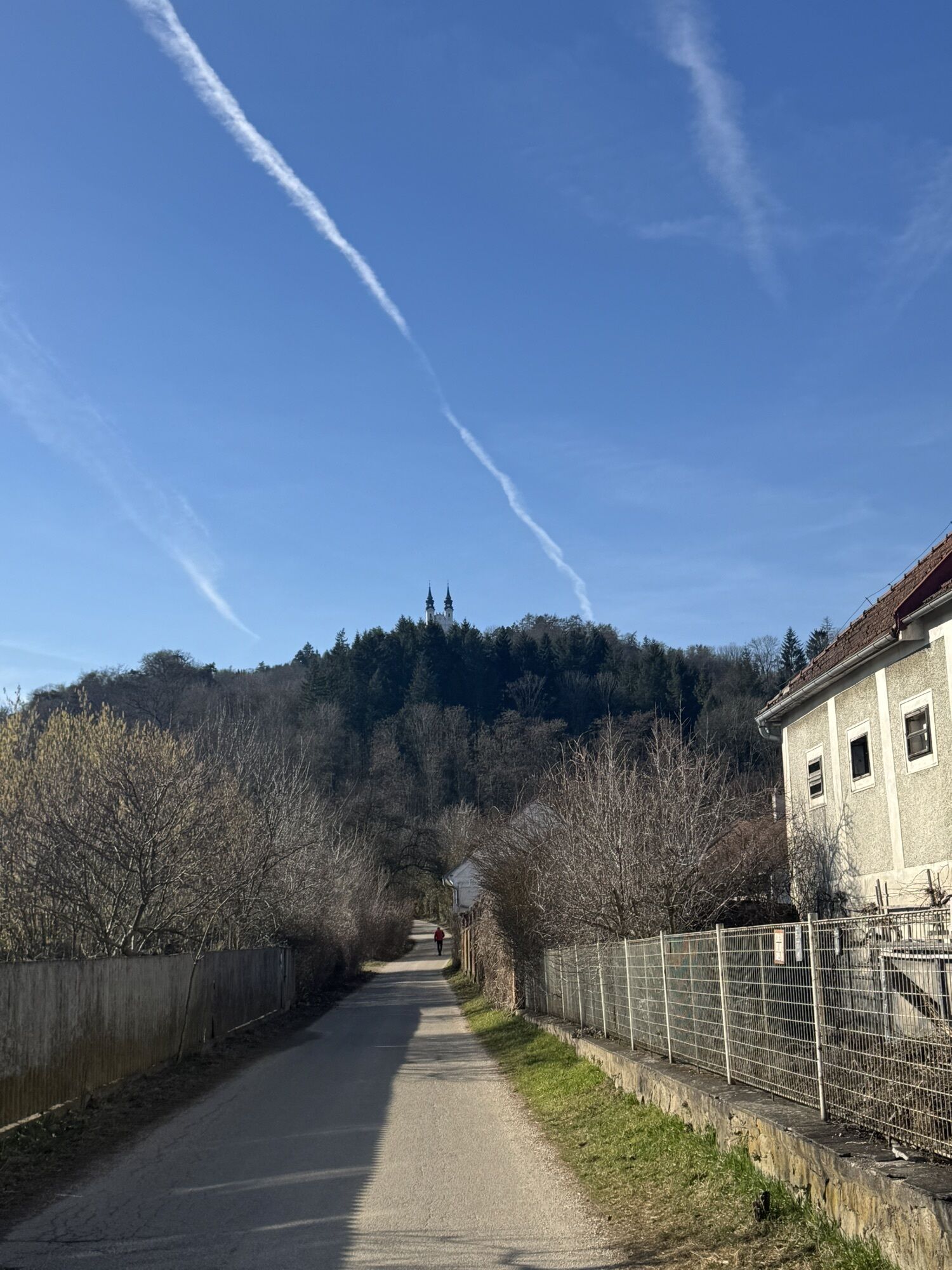
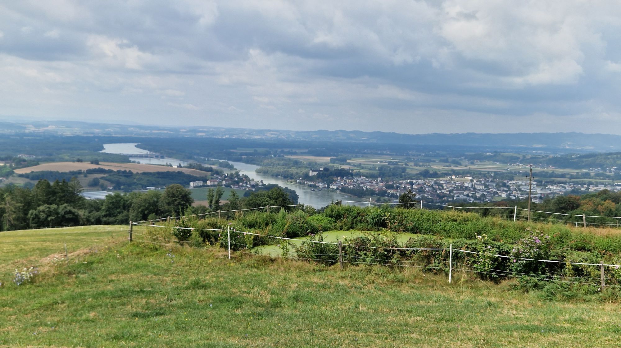
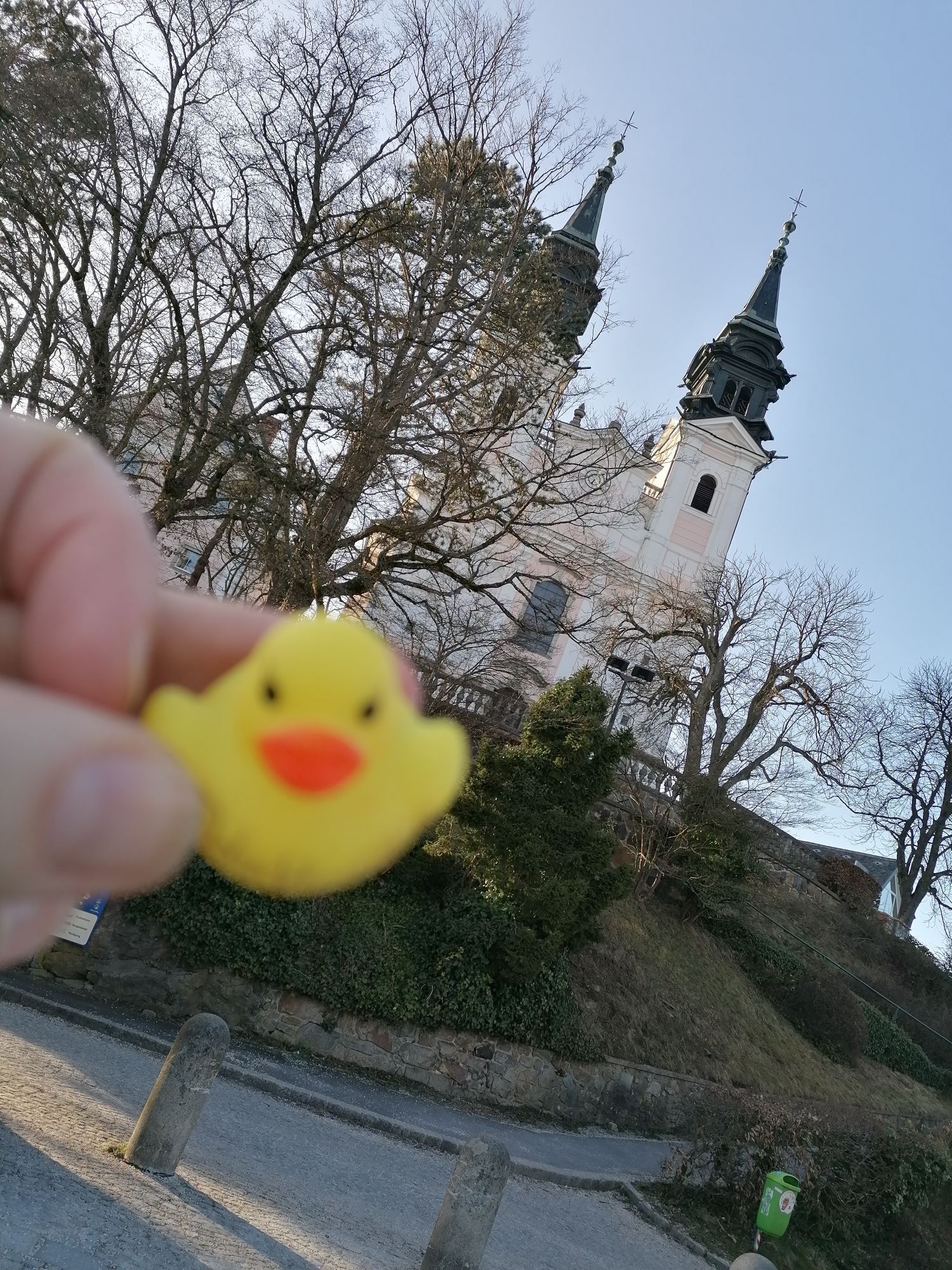
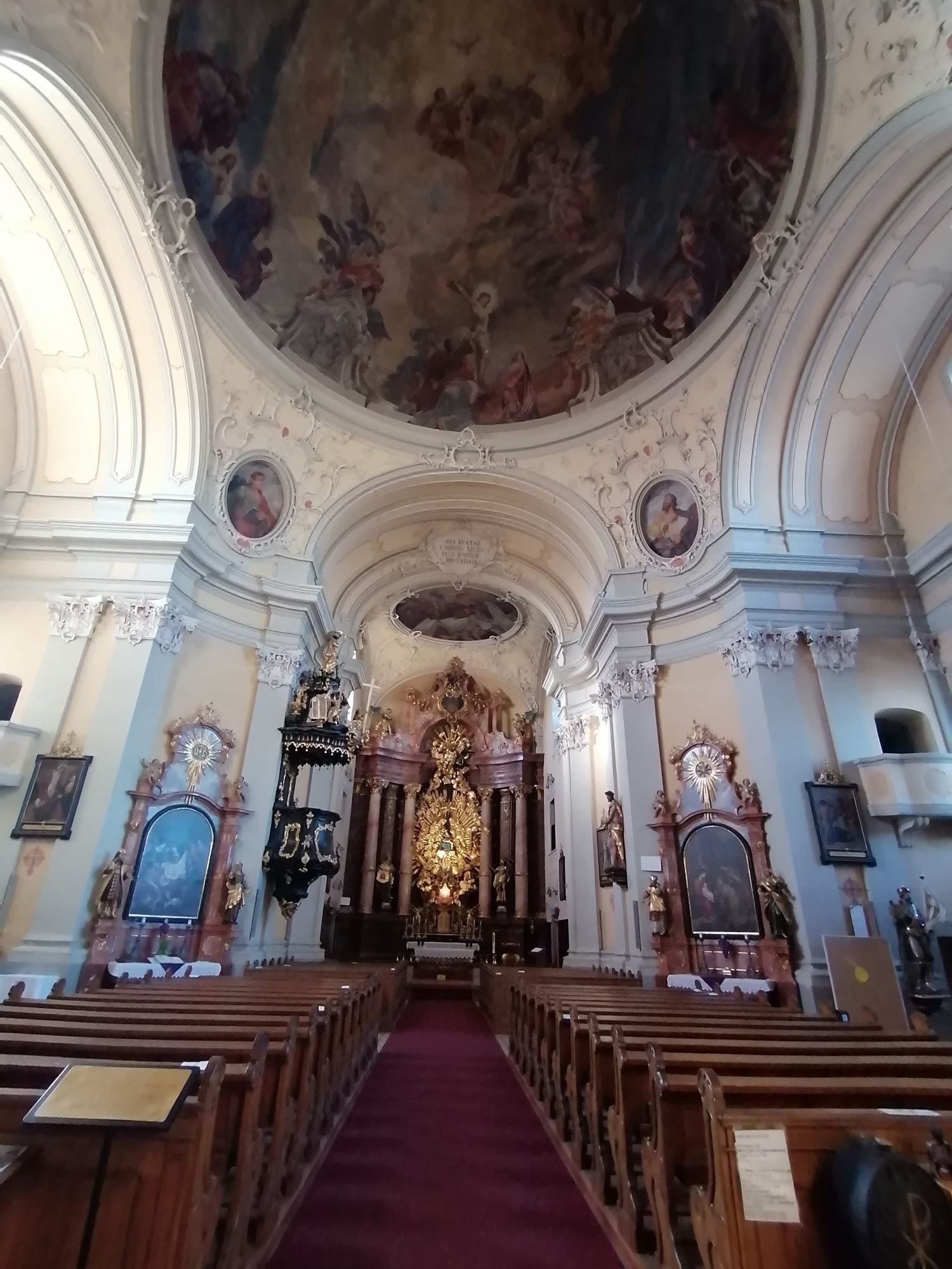
The starting point for the first stage of the Mariazell Pilgrimage Trail is the beautiful pilgrimage church, the "Basilica of the Seven Sorrows of Mary", on the Pöstlingberg above Linz. From up here, you can look down on the Danube and the city of Linz and enjoy a wonderful view of the surrounding countryside. Via the Way of the Cross, which begins south of the church (at the Pöstlingberg Schlössl), we walk down to the Petrinum, the episcopal private grammar school of the Diocese of Linz, and then reach the main road. We follow this across the Danube and reach the main square with the famous Plague Column, the Old Town Hall, the Old Cathedral and the Minorite Church. A visit to St. Mary's Cathedral, built in 1862 in the heart of the city, is particularly worthwhile. The cathedral is the largest church in Austria, although not the tallest. At 134.8 meters, its tower is only around two meters lower than that of St. Stephen's Cathedral in Vienna. From the Volksgarten, we walk along Wiener Straße, which takes us to Ebelsberg, where we can visit Ebelsberg Castle and the church. On the Anton Bruckner Hiking Trail, things finally become a little more rural as we hike through the small village of Ölkam and can already see the towers of the Augustinian monastery of St. Florian in the distance. St. Florian Abbey is one of the largest and most famous baroque monasteries in Upper Austria. It is home to a monastery library, various art collections (e.g. the Gothic panel paintings of the Sebastian Altar by Albrecht Altdorfer - Danube School), Marble Hall & Imperial Room.



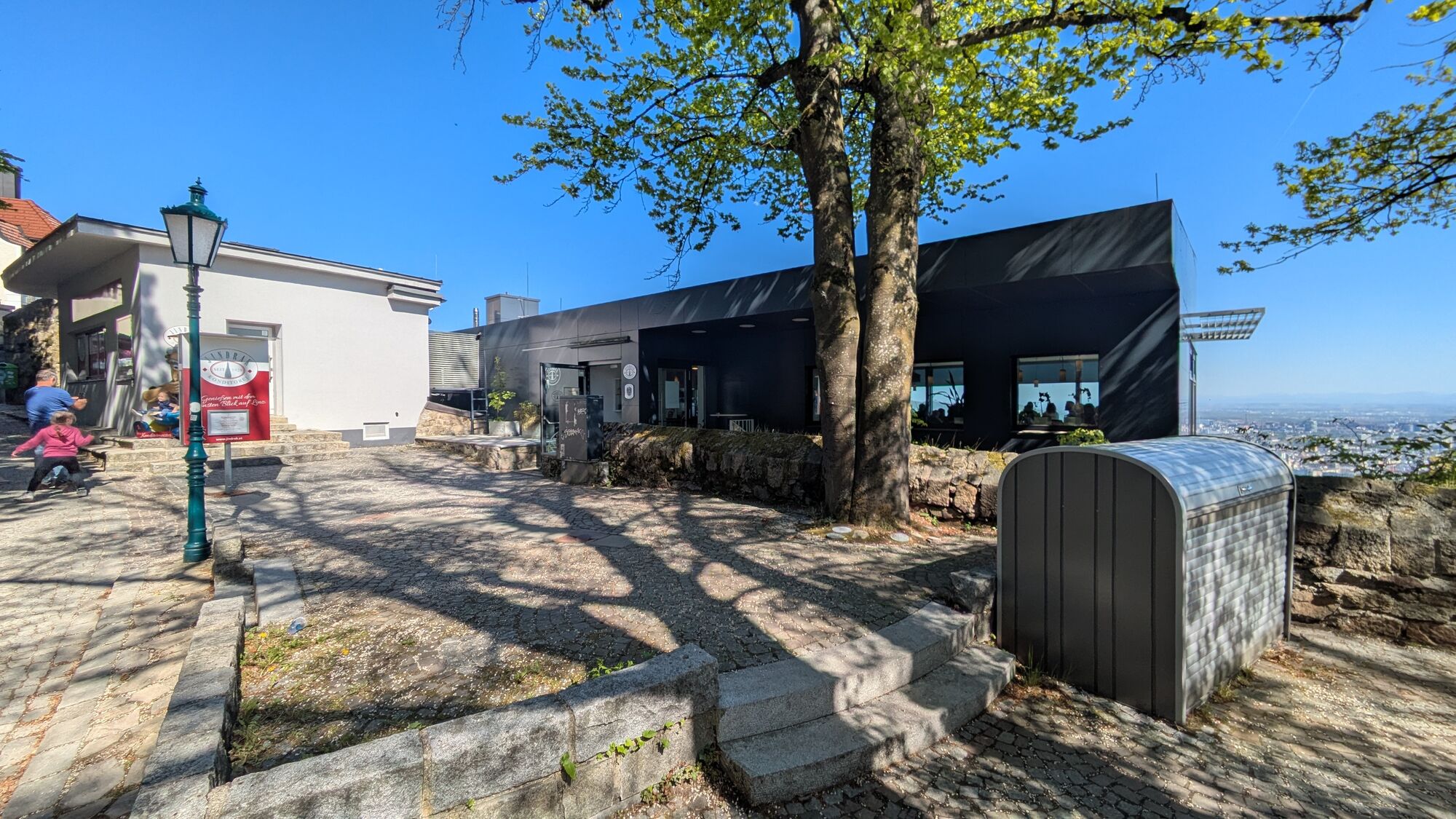
The Upper Austria Mariazeller Way begins at the baroque pilgrimage basilica on Pöstlingberg (539 m) with its wonderful panoramic view of Linz. The next 3 hours until Ebelsberg (264 m) are dedicated to crossing the city of Linz. For this, it is recommended to bring a city map of Linz. From Urfahr (so far via the Way of the Cross, Knabenseminarstraße, Freistädterstraße), you go over the Nibelungen Bridge to the main square, then over Landstraße and Wiener Straße to Ebelsberg. Continue southwards on Florianerstraße, under the motorway bridge, shortly thereafter left uphill (together with the Brucknerweg and Salzsteigweg 09) to an elevation (338 m) and further to Ölkam (297 m). Here we follow the signpost directly to St. Florian. Now along the road to Gemering and then right to the south to St. Florian, where we meet the monastery directly “Am Ölberg”, which is worth a longer visit. From Ebelsberg to St. Florian about 1.5 to 2 hours.
The backpack on a pilgrimage should really contain only the absolute essentials! A GPS device is very helpful for orientation.
Arrival from Salzburg and Vienna: West motorway A1, exit Linz/Center
Arrival from Prague, Freistadt: Mühlkreis motorway A7, exit Linz/Hafenstraße
Arrival from Regensburg, Passau: Innkreis motorway A8 to A1, exit Linz/Center or toll-free along the Danube on the B 127.
You can reach Linz by train or bus, then take the Pöstlingberg railway from the main square up to the Pöstlingberg.
You can park your car below the Pöstlingberg Church or, if you want to arrive with the Pöstlingberg railway, near the main square.
Mostviertel Tourism GmbH
Töpperschloss Neubruck, Neubruck 2/10, 3283 Scheibbs
T +43/7482/20 444
info@mostviertel.at , www.mostviertel.at
TVB Mariazeller Land
Main square 13, 8630 Mariazell
Tel.: +43 (0)3882/23 66
Upper Austria Tourism Information
Freistädter Straße 119, 4041 Linz
info@oberoesterreich.at,
www.wandern.at
Useful maps:
ÖK 4319 Linz, ÖK 4320 Perg, ÖK 4326 Steyr,
ÖK 4202 Ternberg, ÖK 4203 Waidhofen,
ÖK 4203 Ybbsitz, ÖK 4204 Lunz, ÖK 4210 Mariazell
All at a scale of 1:50,000 (also available enlarged at 1:25,000)
F&B hiking maps 261 (1:50,000), 051 (1:50,000),
052 (1:50,000), 5031 (1:35,000)
Kompass 22 (Mariazell, Ötscher, Erlauftal, 1:25,000),
Kompass 212 (Hochschwab, Mariazell, Eisenwurzen, 1:50,000),
Kompass 202 (around Linz, Mühlviertel, Wels, Steyr, 1:50,000)
Important phone numbers:
Alpine emergency call: 140, International emergency call: 112
Recommended literature:
Pilgrim routes to Mariazell – West + South volume, www.styriabooks.at
Hiking experience Mariazeller Land and Ötscher, www.kral-verlag.at
Pilgrim routes, www.kral-verlag.at
Overnight accommodation is possible at the St. Florian Monastery.
Uzyskaj wgląd
Zawsze na żywo z ponad 9 500 kamer internetowych. bergfex Jako użytkownik Pro, możesz teraz zobaczyć odpowiednie kamery internetowe dla wielu wycieczek w aplikacji wycieczki od. Pozwala to na bezpośredni podgląd aktualnych warunków.
Popularne wycieczki w okolicy
-
4,7
Prinzensteig Rundweg
światłoWędrówka 13,7 km -
4,4
Linz: City Hiking Trail Pöstlingberg
średniWędrówka 7,71 km -
4,7
Steyregg Donau-Höhen-Rundwanderweg Pulgarn - Hohenstein (und zurück)
światłoWędrówka 7 km -
4,7
Steyregg Pfenningberg-Gipfelwanderweg
średniWędrówka 4 km -
4,4
Ottensheim: Danube Panorama Route
średniWędrówka 8,14 km -
5,0
Steyregg AV 50 Plesching - GH Daxleitner
światłoWędrówka 4 km -
4,1
Auseeweg in Luftenberg an der Donau
światłoWędrówka 9,96 km -
4,0
Kürnbergwald - kurzer Rundwanderweg
światłoWędrówka 9,46 km -
5,0
Steyregg 3 Buchen Weg
średniWędrówka 8 km -
4,9
Kreuzweg auf den Pöstlingberg Linz, Österreich
światłoWędrówka 1,30 km

Wędrówki i tropienie


Nie przegap ofert i inspiracji na następne wakacje
Twój adres e-mail została dodana do listy mailingowej.





