


Via Maria - 12th day stage from Ternberg an der Enns to Maria Neustift


Stage for the day 12 from Ternberg an der Enns to Maria Neustift (31 km)
Ternberg - Jochberg - Willeitenberg - Wolfsgrub - Plattenberg - Spadenberg - Maria Neustift

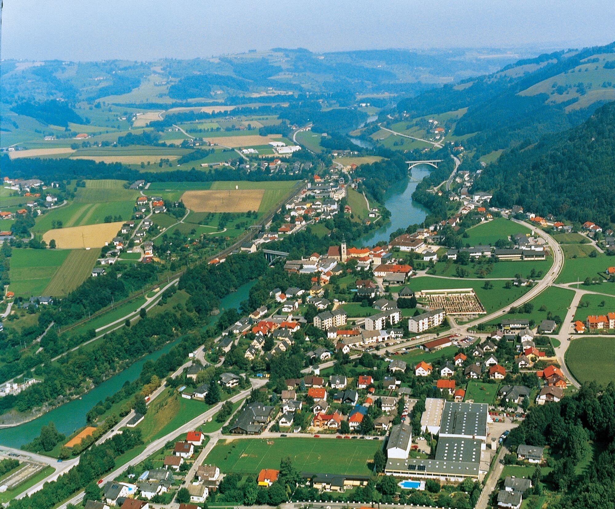
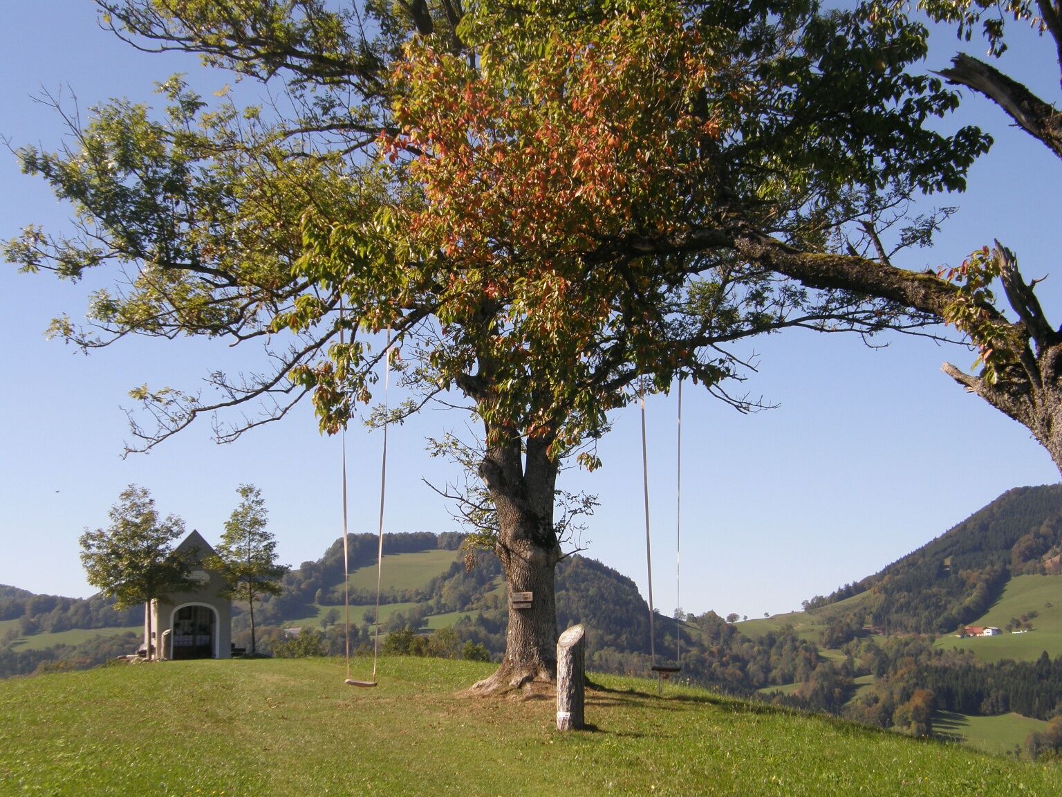
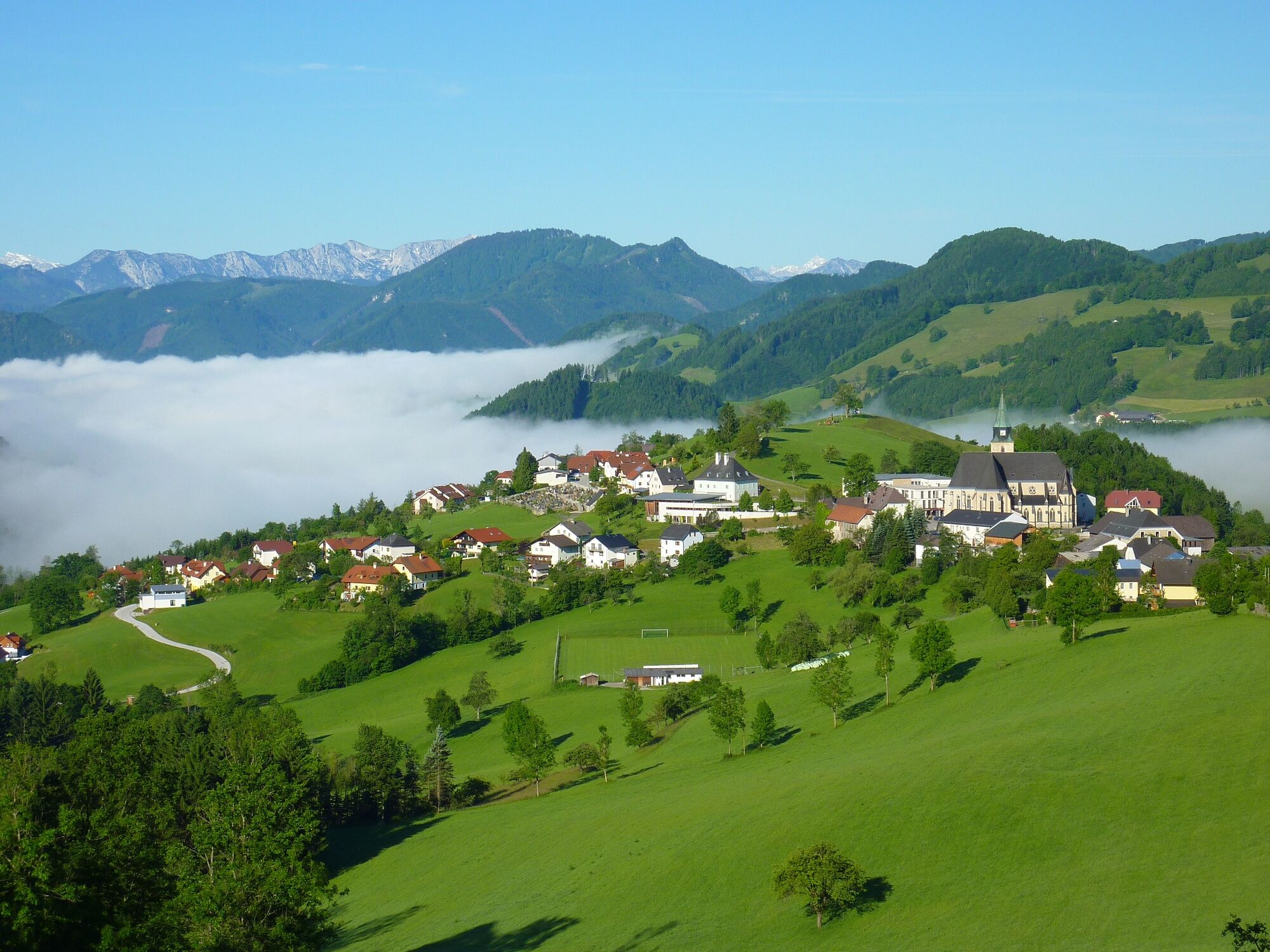
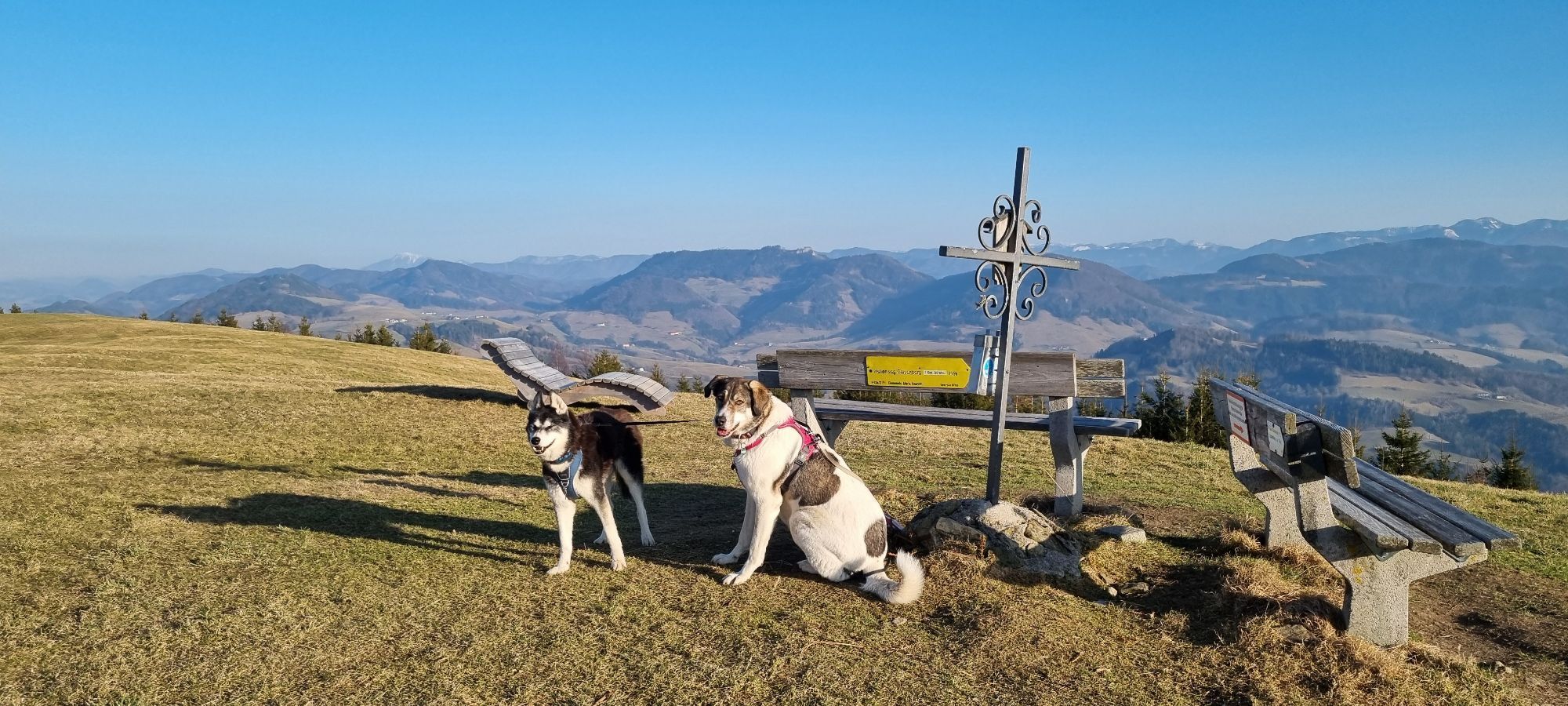
From Ternberg (341 m) we follow the long-distance trail 04 (404, E4) first up to Jochberg (688 m), then down to Unterlaussa (580 m), up again to Willeitenberg (837 m), where we finally meet the Upper Austrian Mariazell Trail. Now down to Wolfsgrub (695 m) and over the Plattenberg to the Spadenberg, the highest point of this stage (1,000 m). Continue along the ridge to Geierkogel (886 m) via Glasner Hütte to the pilgrimage site of Maria Neustift (613 m).From Ternberg to Unterlaussa approx. 2.5 hrs, another 1.5 hrs to Willeitenberg, another 1.5 hrs to Plattenberg (Hinterplatten farmstead), from here 3 hrs to Maria Neustift (route via Spadenberg).
Overnight stay:
Maria Neustift: Seyerlehnerhof
Pension Unterbuchschachner
Refreshment stop
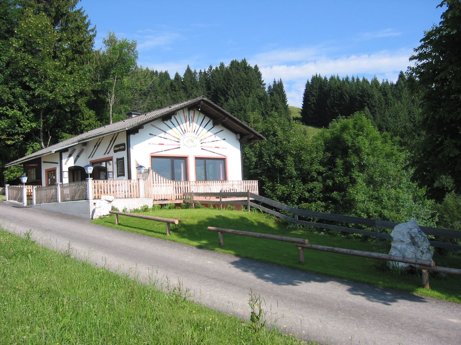
Glasner Hütte
Roisentaverne
Restaurant Wood Oven Bakery Schaupp
Bakery-Cafe Steinparzer
Places of interest:
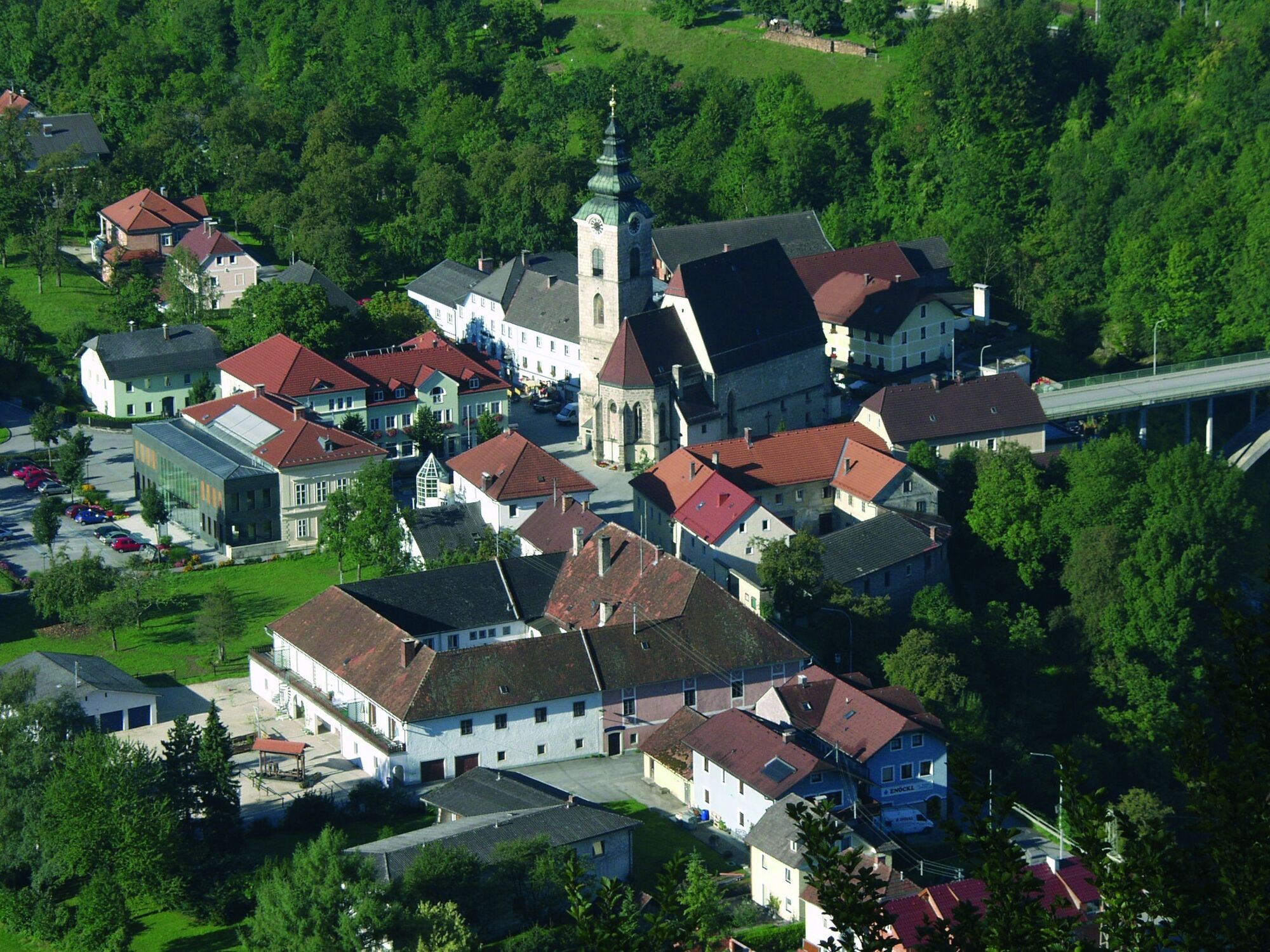
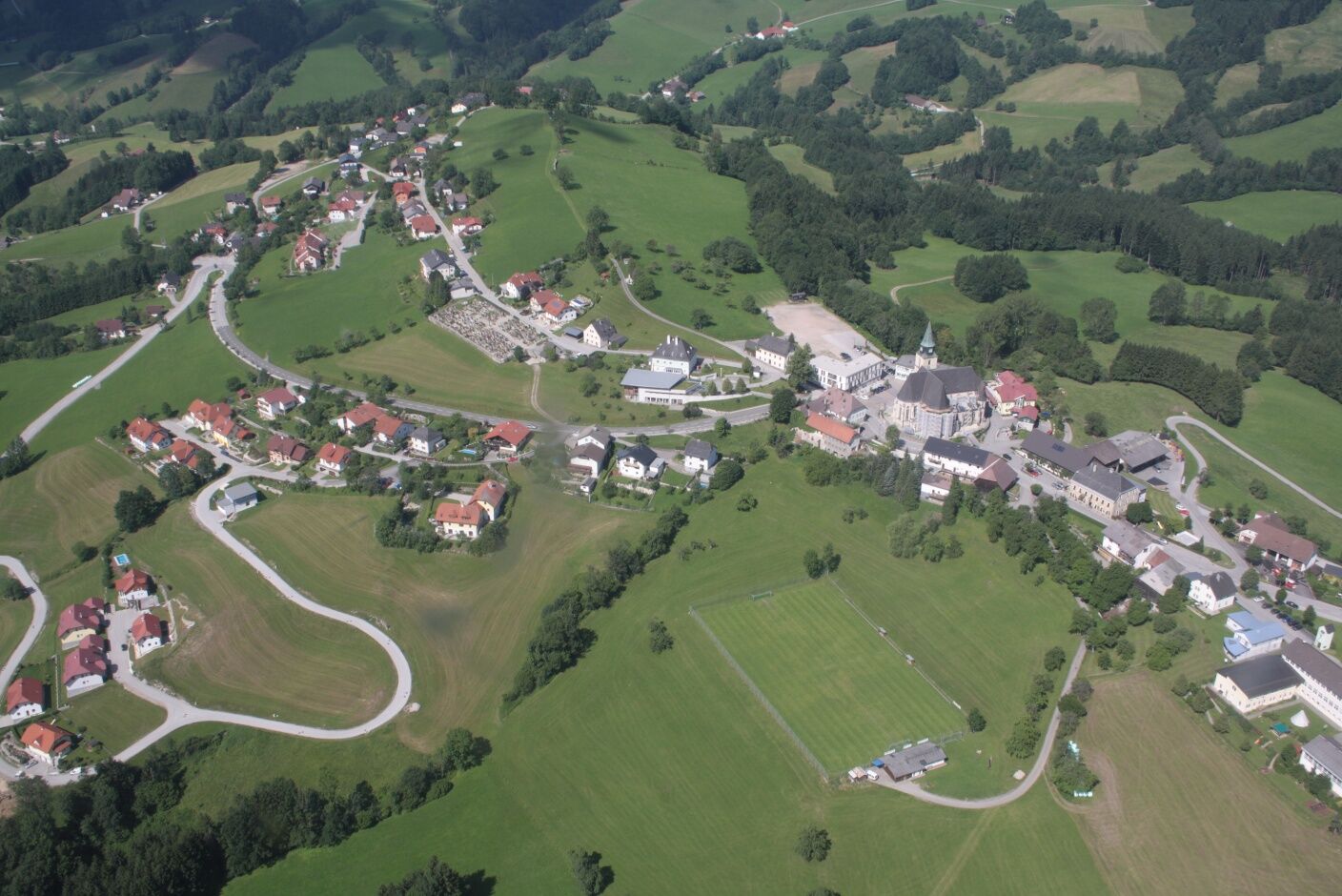
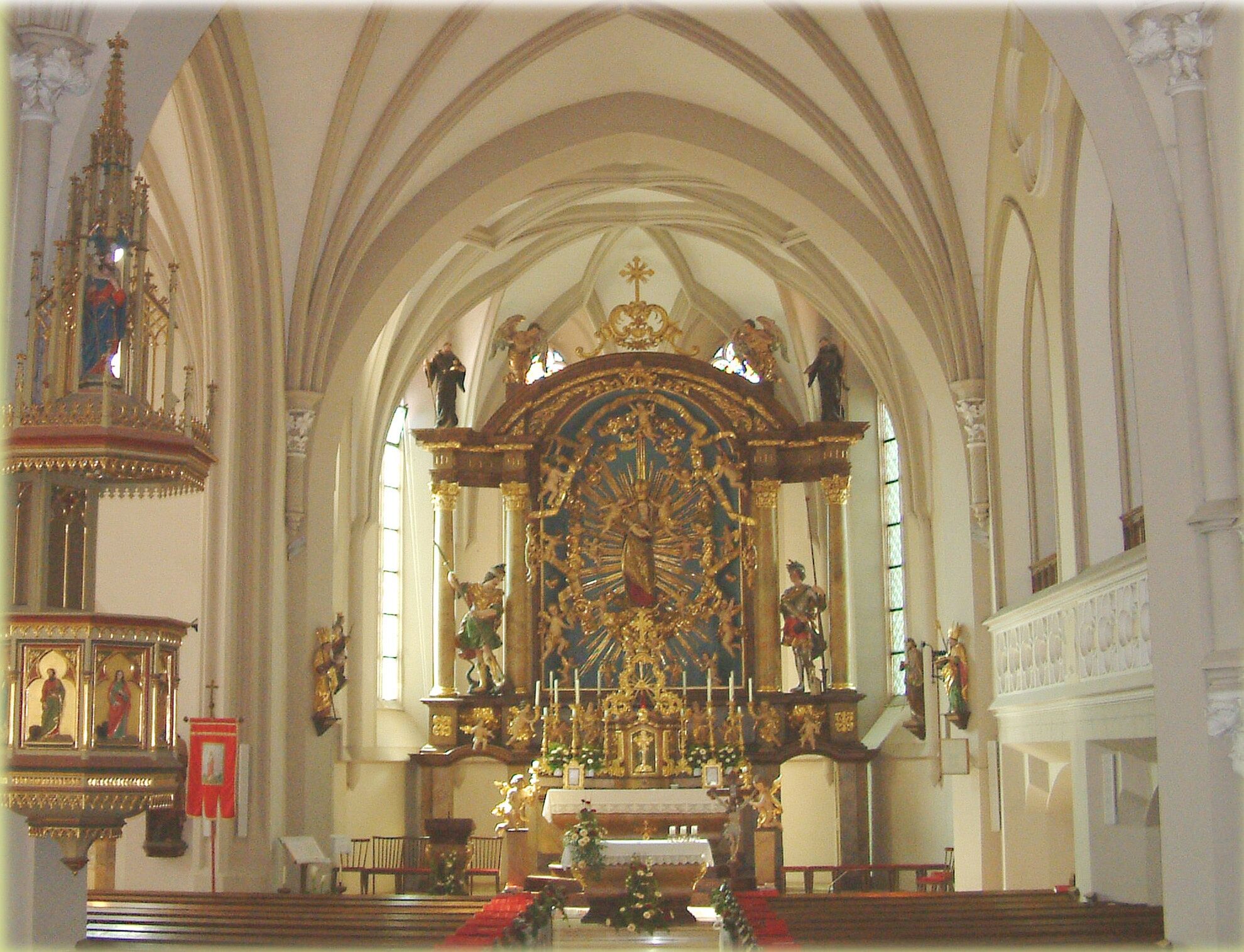
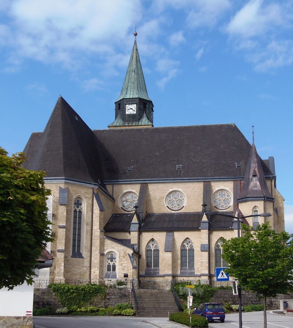
Maria Neustift pilgrimage church (information: Maria Neustift municipal office, tel. +43 (0)7250/255 or 625)Translated with www.DeepL.com/Translator (free version)
Every rucksack should contain: Rain, cold and sun protection, first aid kit, mobile phone (Euro emergency call 112), sufficient liquid, hiking map of the region.
No particular difficulties.
From Salzburg/Linz: A1 motorway exit Enns-Steyr > B115 into the Enns Valley
From Vienna: A1 motorway exit Haag > B42 > B122 > B115 into the Enns Valley
From Passau: A8 Passau > Wels > A1 motorway exit Enns-Steyr > B115 into the Enns Valley
From Graz: A9 Pyhrnautobahn > motorway exit Klaus > Grünburg > into the Ennstal valley
The Ennstalbahn runs between Linz and Weißenbach-St. Gallen. Details at www.ooevv.at
Stations are located in Ternberg, Trattenbach, Losenstein, Reichraming, Großraming, Küpfern, Kastenreith, Kleinreifling and Weißenbach-St. Gallen.
For information on the Austrian long-distance hiking trails, see http://www.alpenverein.at/weitwanderer
Kamery internetowe z trasy
Popularne wycieczki w okolicy
-
4,6
Steinerner Jäger (1185m) und Schieferstein (1206m) ab Parkplatz Hochhabichler
średniWędrówka 4,46 km -
4,4
Ternberg -Schoberstein
średniWędrówka 6,60 km -
4,3
Dürres Eck - Gaisberg - Hochbuchberg
średniWędrówka 11,2 km -
4,6
Pfaffenmauer - Schoberstein - Gipfel der Lust Gasthof Klausriegler, Oberösterreich/Österreich
średniWędrówka 9,72 km -
4,8
Ennser Hütte - Almkogel (via parking Bamacher)
średniWędrówka 3,53 km -
4,7
GROSSRAMING Bamacher, Burgspitz, Almkogel, Ennshütte 20240730
średniWędrówka 10 km -
4,0
Schieferstein und Steinerner Jäger von Reichraming, Oberösterreich
średniWędrówka 3,82 km -
4,7
Enns Active Trail Ternberg
średniWędrówka 4,85 km -
4,8
Schoberstein via Trattenbach/Gasthaus Klausriegler
średniWędrówka 2,60 km -
3,7
Schoberstein via Trattenbach/railway station
światłoWędrówka 5,53 km
Wędrówki i tropienie


Nie przegap ofert i inspiracji na następne wakacje
Twój adres e-mail została dodana do listy mailingowej.