


Trailing Runde
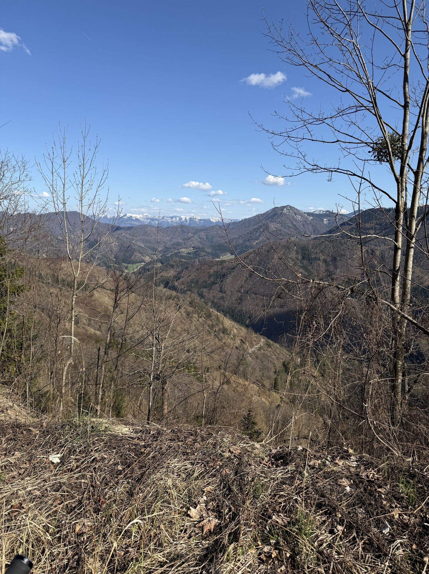
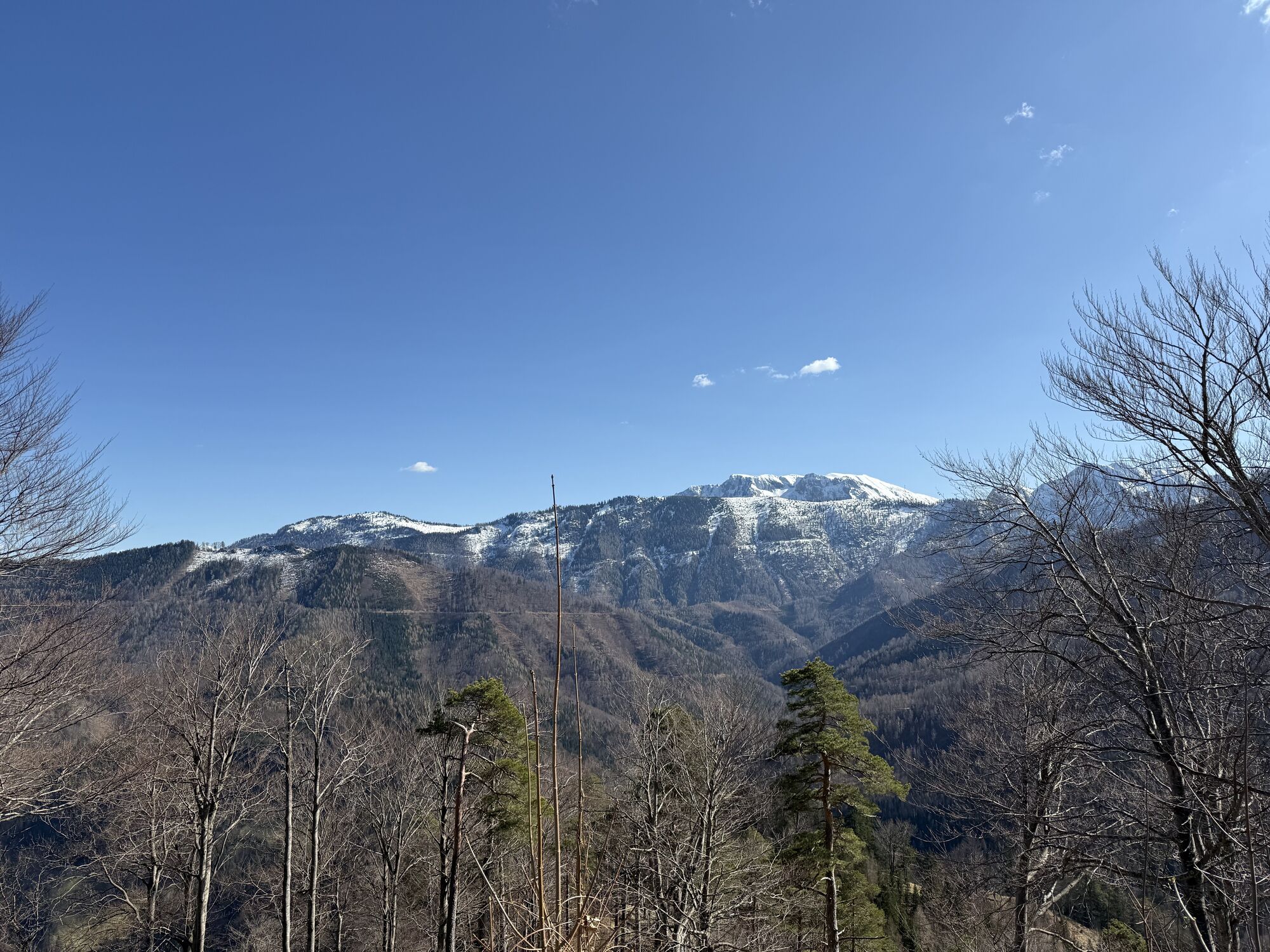
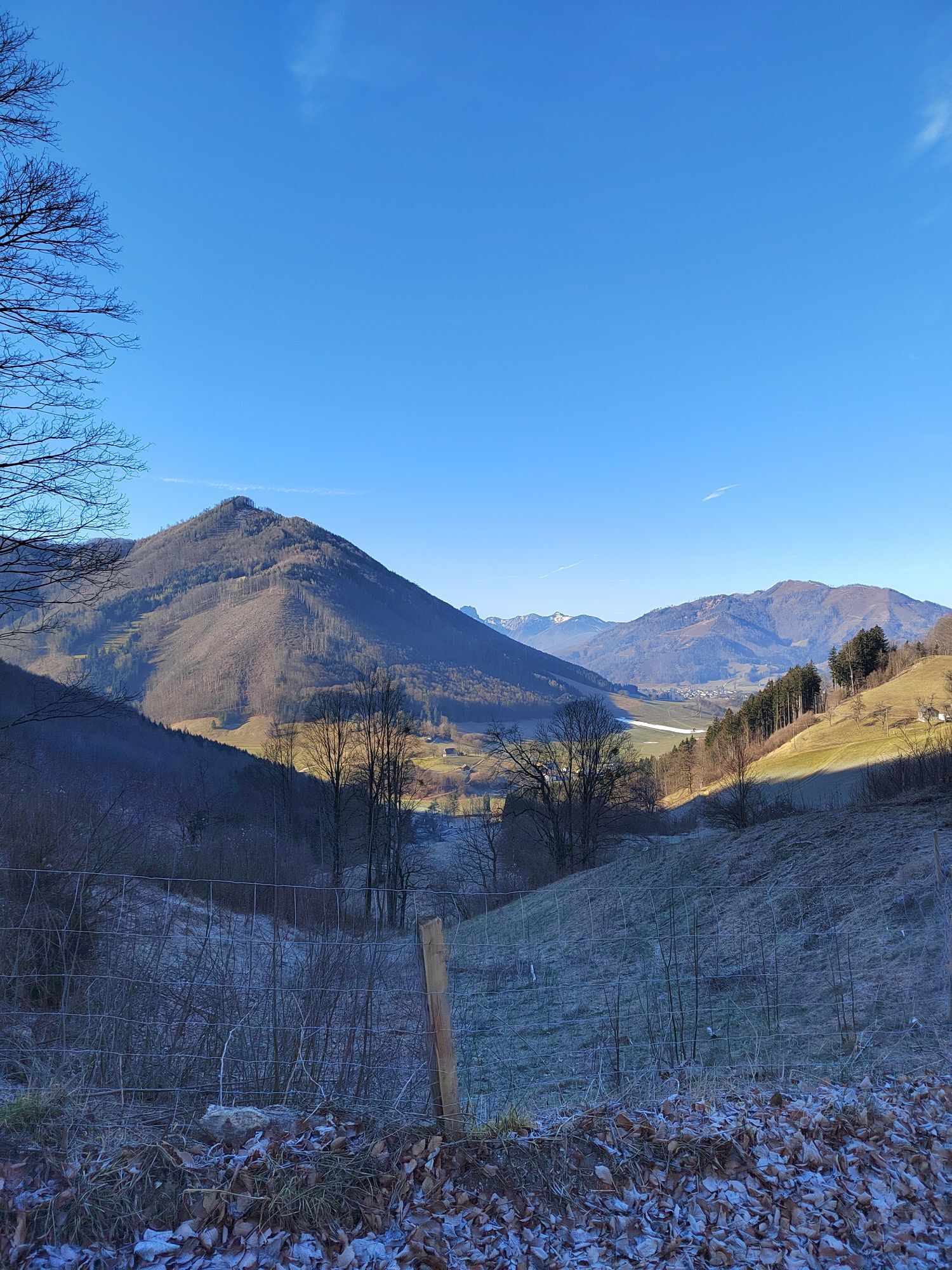
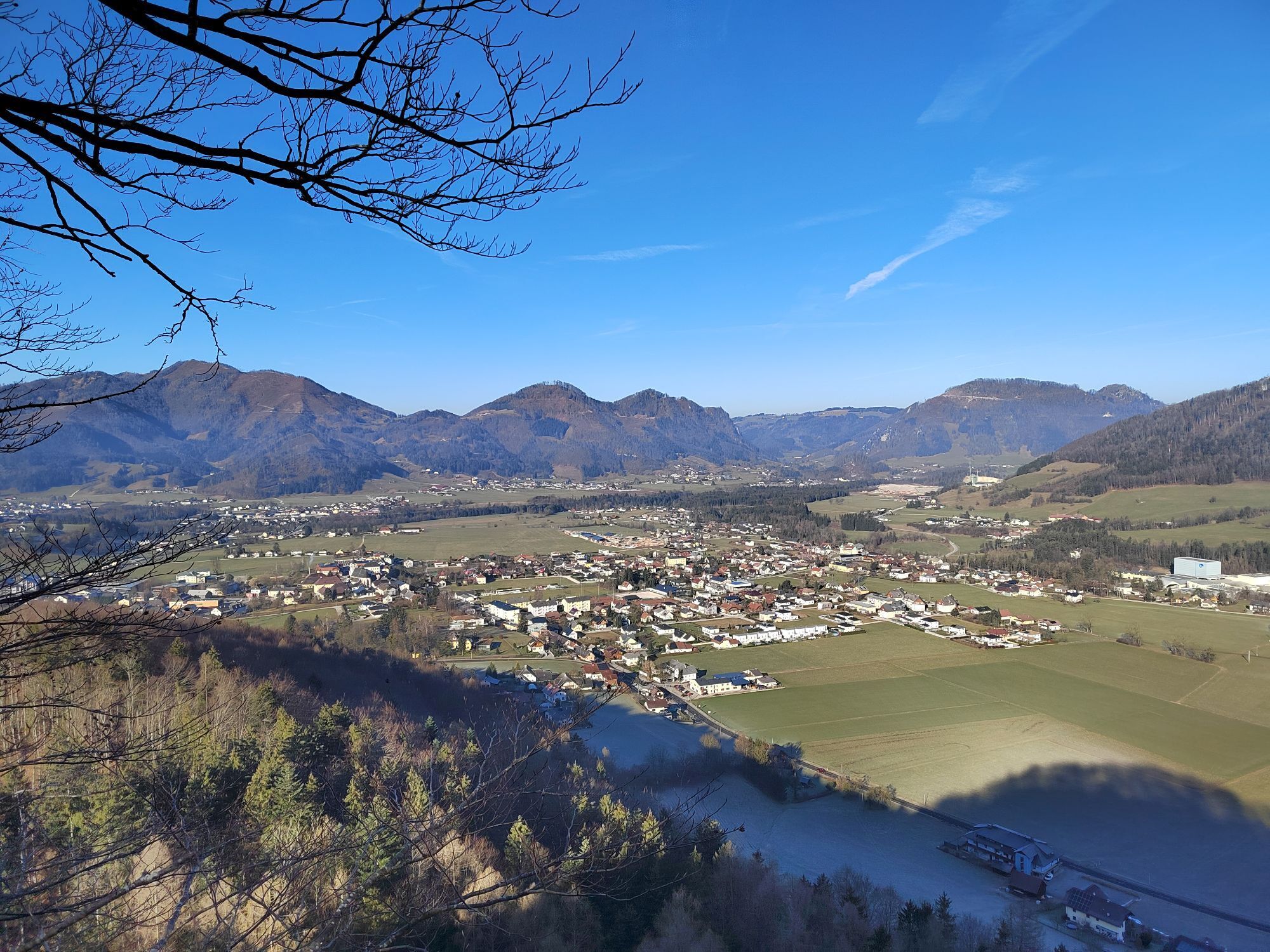
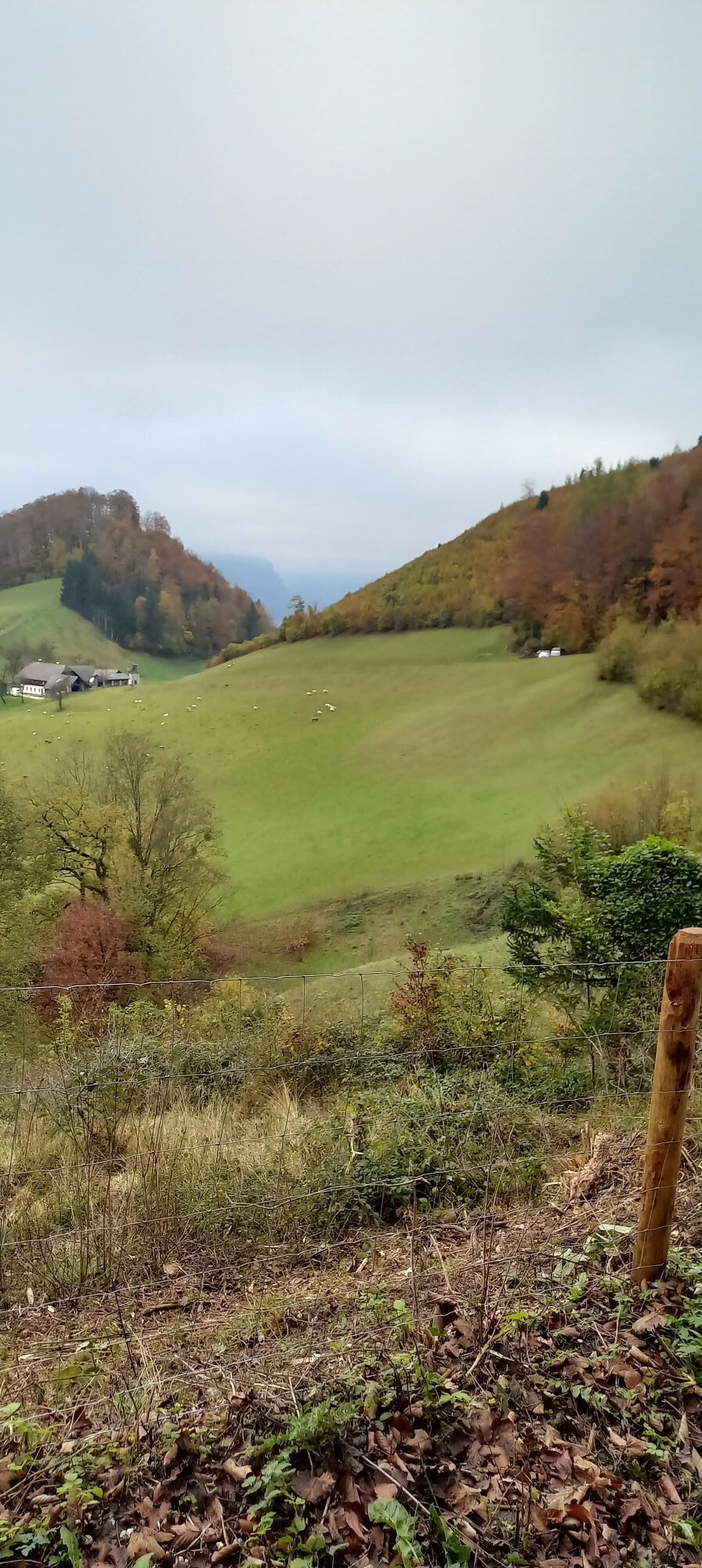
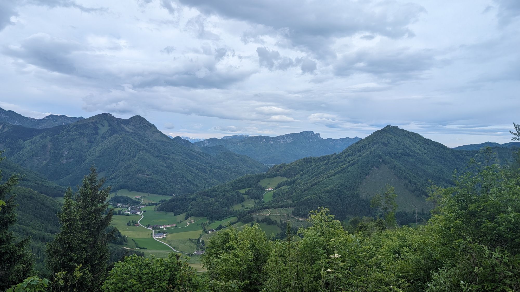

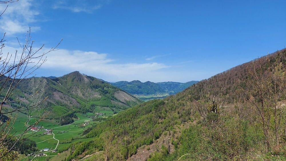
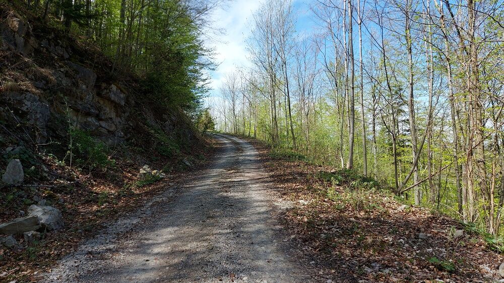
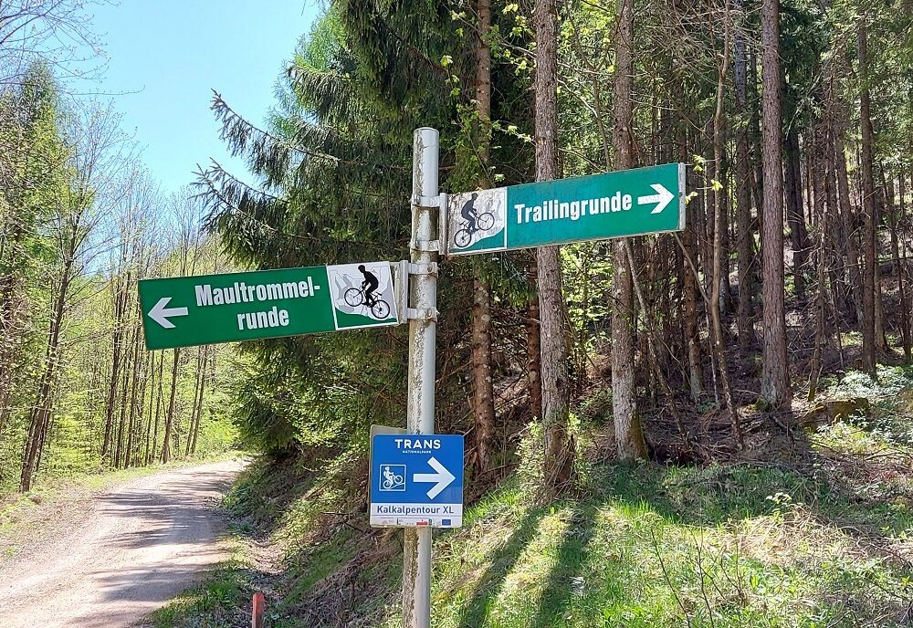
Molln - Obersteinergut - around the Annasberg and Trailing - Ferienhof Denk - Reitern - Breitenau - Berggasthof Windhager-Kores - Rossberg - Gasthof Steiner-Kraml - Sonnseite or Rabach - MollnVery varied bike tour around two foothills of the Alps, with a steep downhill passage: The round starts in Molln and leads over the Steinköpfl up to trail no. 4. enjoy the picturesque romantic views of the two pre-Alpine mountains - Annasberg and Trailing. You will reach the valley from the Denk vacation farm (Reitern district). The trail continues leisurely in the direction of Breitenau to the Windhager-Kores mountain inn. Passing the Rossberg you reach the Steiner-Kraml inn. Via the Sonnseite or the Rabach you finally roll back to the starting point.
Take along sun and rain protection and Bike repair Kid.
Find out in advance about current trail or road closures along the route!
You can obtain up-to-date map material at: www.steyr-nationalpark.at
Aktywności na trasie

Molln, Oberösterreich/Österreich
13.07.2025 – MountainbikeMolln, Oberösterreich/Österreich
11.07.2025 – MountainbikeMolln, Oberösterreich/Österreich
19.04.2025 – MountainbikeMolln, Oberösterreich/Österreich
17.09.2024 – MountainbikeMolln, Oberösterreich/Österreich
26.08.2024 – MountainbikeMolln, Oberösterreich/Österreich
23.08.2024 – MountainbikeMolln, Oberösterreich/Österreich
04.08.2024 – MountainbikeMolln, Oberösterreich/Österreich
03.08.2024 – MountainbikeMolln, Oberösterreich/Österreich
14.07.2024 – MountainbikeMolln, Oberösterreich/Österreich
09.07.2024 – MountainbikeMolln, Oberösterreich/Österreich
09.06.2024 – MountainbikeMolln, Oberösterreich/Österreich
02.06.2024 – MountainbikeMolln, Oberösterreich/Österreich
01.06.2024 – MountainbikeMolln, Oberösterreich/Österreich
30.05.2024 – Mountainbike
Popularne wycieczki w okolicy
- 4,7
Bergwanderung auf den Spering
średniWędrówka 7,50 km - 4,6
Schoberstein (from Molln)
średniWędrówka 3,63 km - 4,7
Grünburger Hut via Dorngraben Molln
średniWędrówka 3,43 km - 4,8
Steinerner Jäger (1185m) und Schieferstein (1206m) ab Parkplatz Hochhabichler
średniWędrówka 4,46 km - 4,2
Rinnerberger Waterfall - Gorge
średniWędrówka 7,55 km - 4,6
Hoher Nock von Rettenbach Rettenbach, Windischgarsten,
średniWędrówka 11,5 km - 4,5
Pfaffenmauer - Schoberstein - Gipfel der Lust Gasthof Klausriegler, Oberösterreich/Österreich
średniWędrówka 9,72 km - 4,5
Ternberg -Schoberstein
średniWędrówka 6,60 km - 4,4
Dürres Eck - Gaisberg - Hochbuchberg
średniWędrówka 11,2 km - 4,4
Sonnkogel (1177m) und Hohe Dirn (1134m) ab Parkplatz Hohe Dirn
średniWędrówka 7,71 km
Wędrówki i tropienie


Nie przegap ofert i inspiracji na następne wakacje
Twój adres e-mail została dodana do listy mailingowej.