
Gaisberg Runde ab Steinbach
ciężki
Pobierz tę trasę na swój telefon komórkowy
Gaisberg Runde ab Steinbach
ciężki
Mountainbike
56,99
km
Zeskanuj kod QR i rozpocznij nawigację w aplikacji bergfex.


Wędrówki i tropienie



Gaisberg Runde ab Steinbach
ciężki
Odległość
57,0
km
Czas trwania
07:21
h
Ascent
1 200
hm
Poziom morza
362 -
1 076
m

Nawiguj po trasie w aplikacji
Zainstaluj aplikację za darmo i śledź trasę dzięki nawigacji GPS i funkcji śledzenia.
Skorzystaj już teraz z funkcji „ bergfex ” w aplikacji
Zeskanuj kod QR za pomocą aparatu
Po zainstalowaniu aplikacji treść otworzy się od razu. Jeśli jeszcze nie masz tej aplikacji, zostaniesz przekierowany do strony, z której możesz ją bezpłatnie pobrać.
Ścieżka do pobrania
Gaisberg Runde ab Steinbach
ciężki
Mountainbike
56,99
km
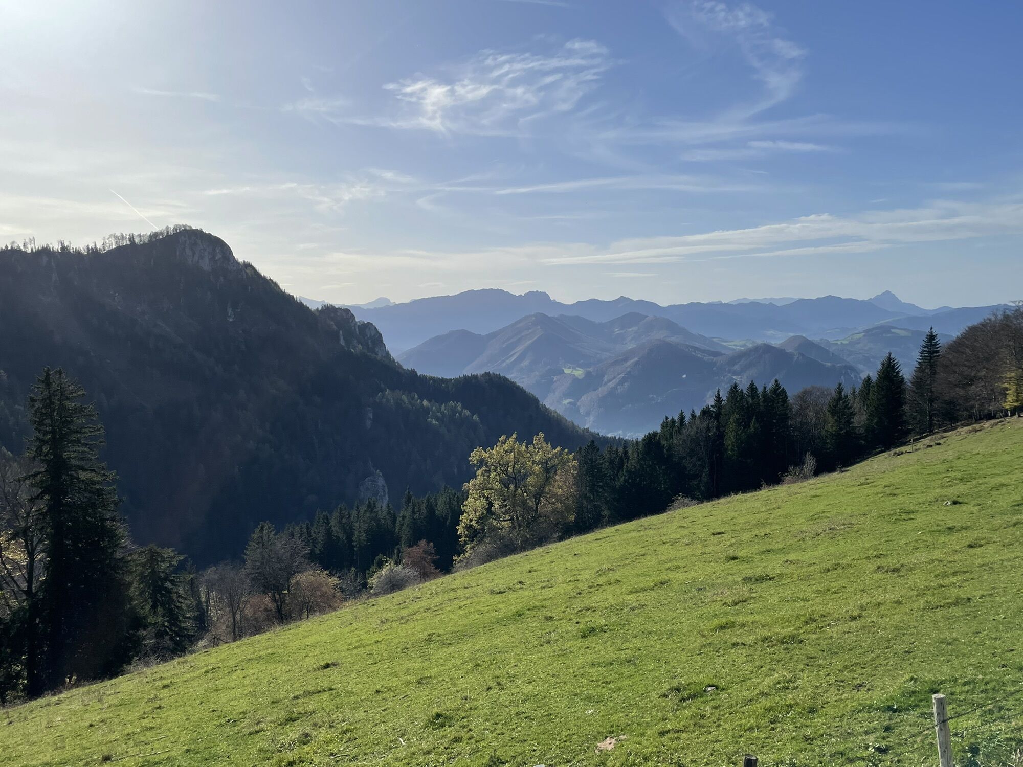
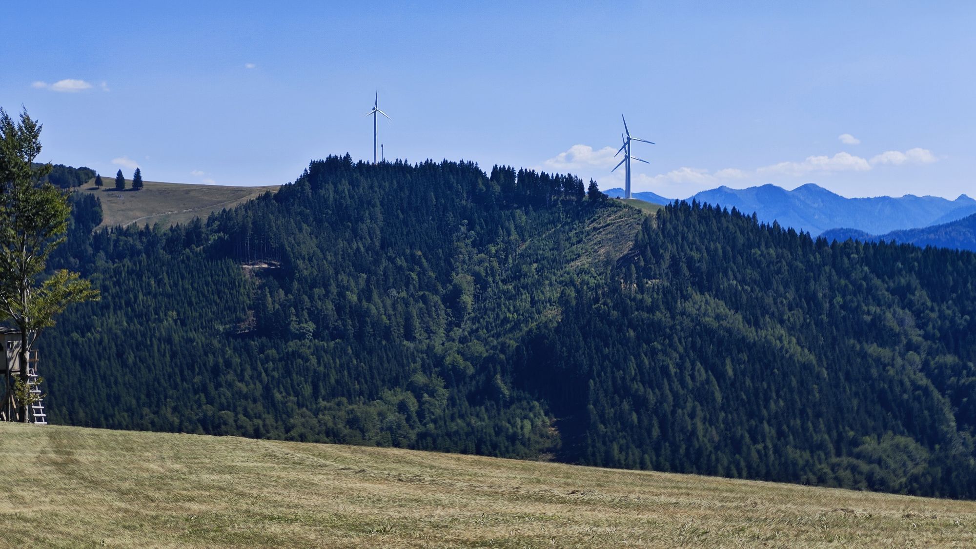
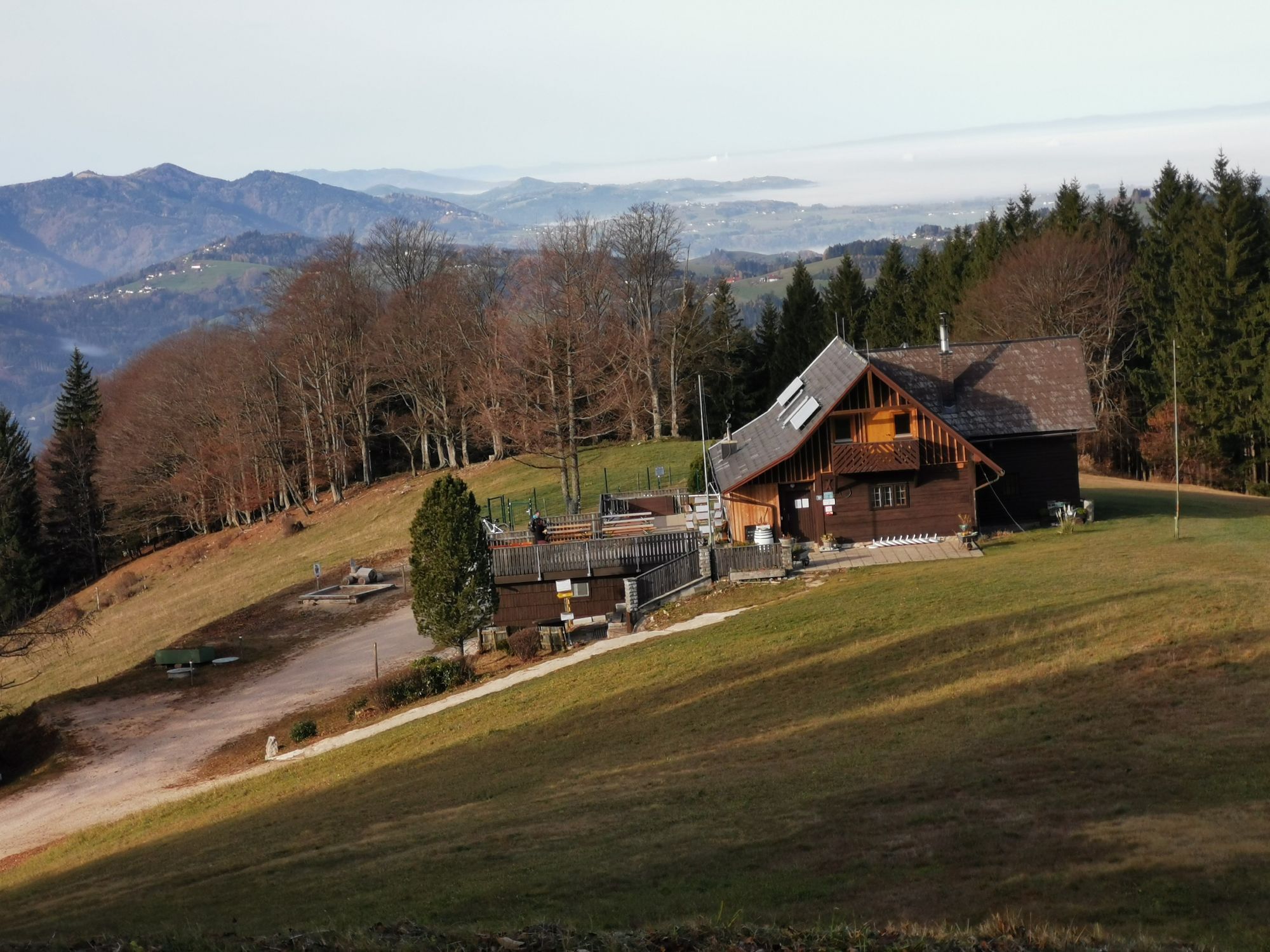


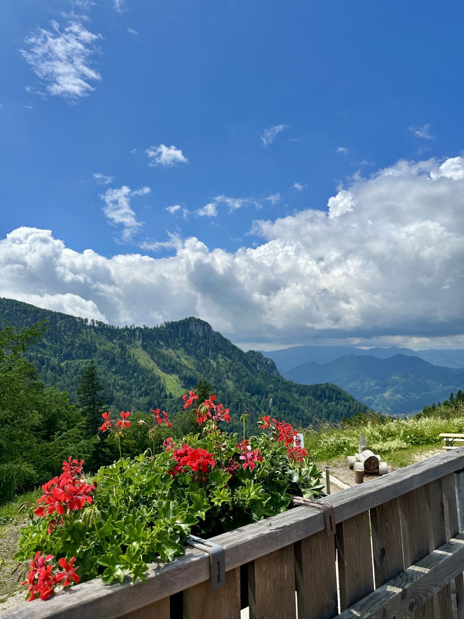
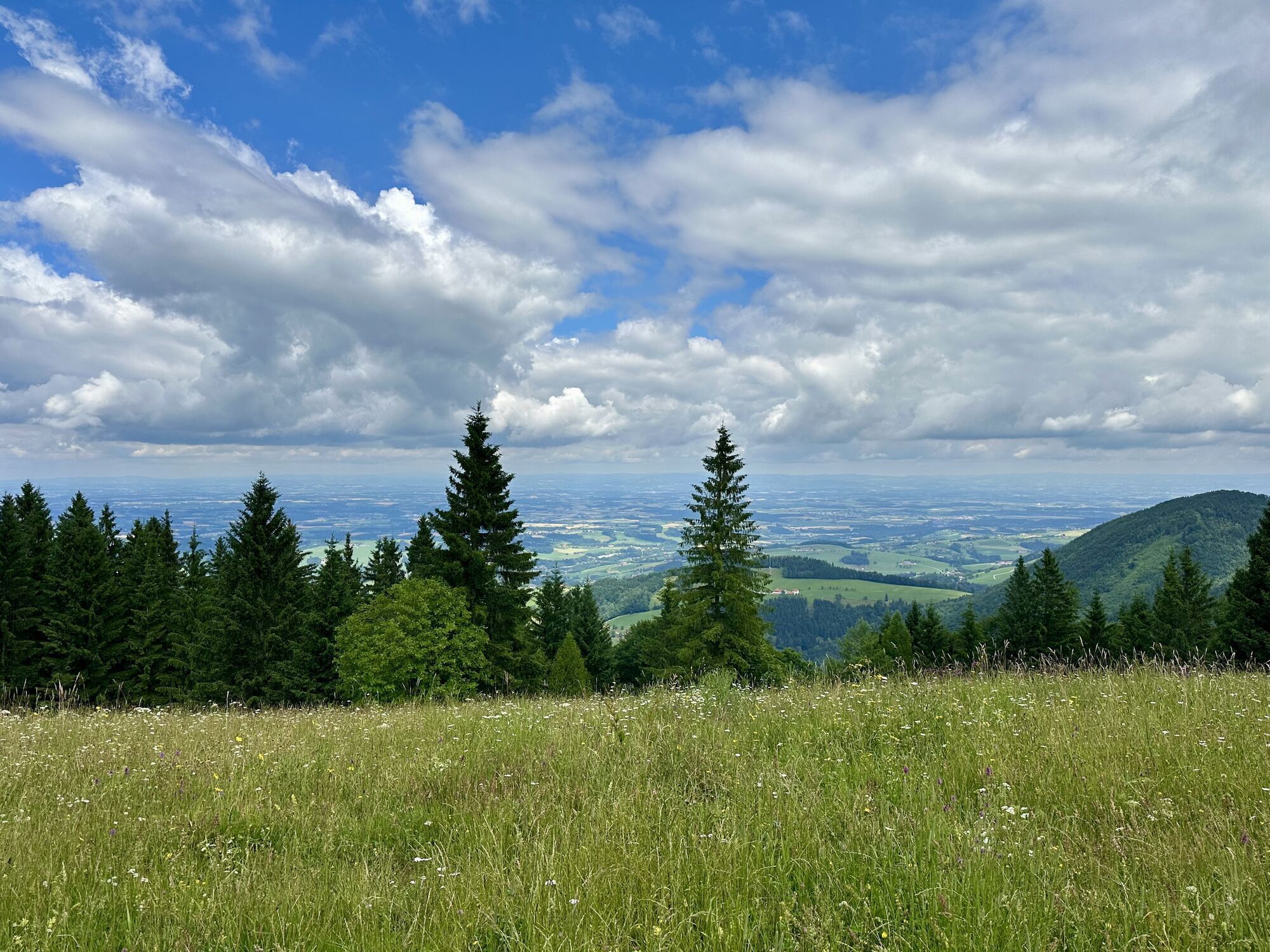
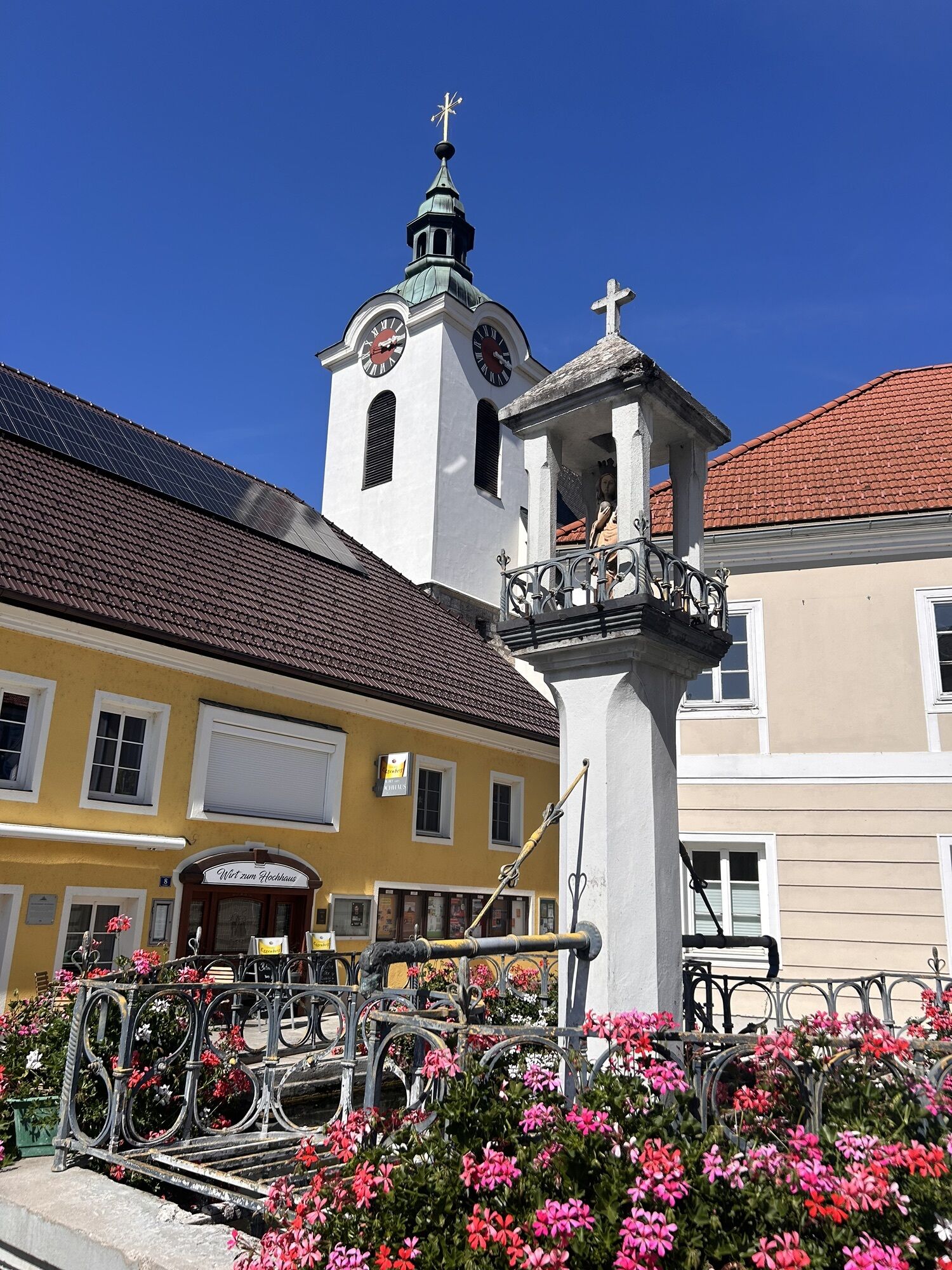
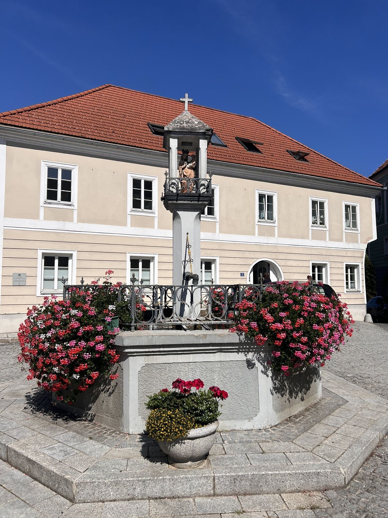
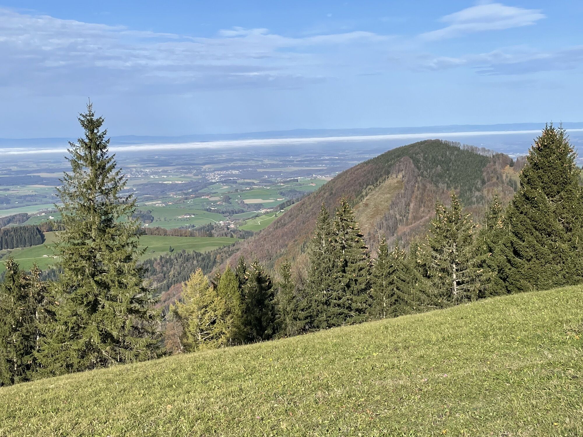
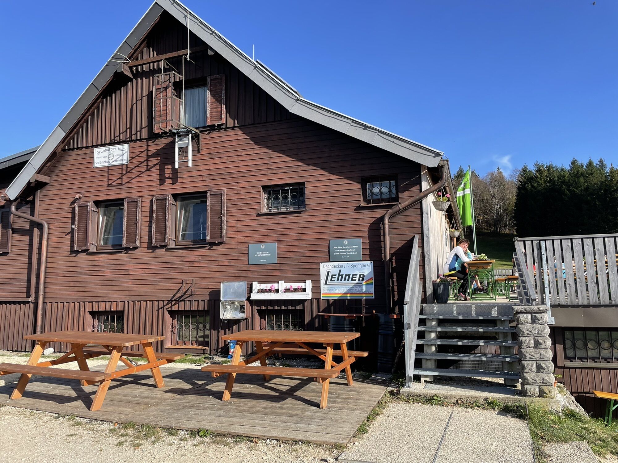
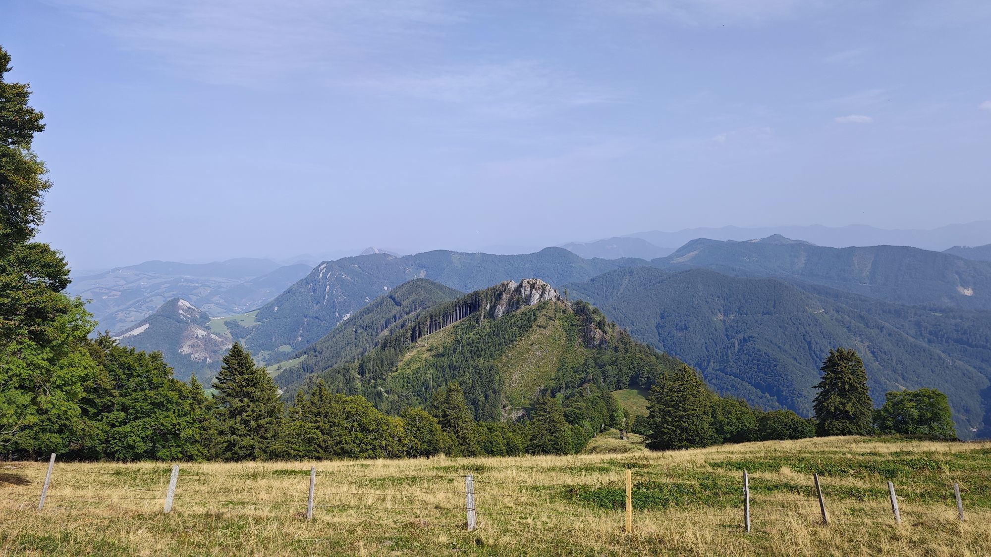
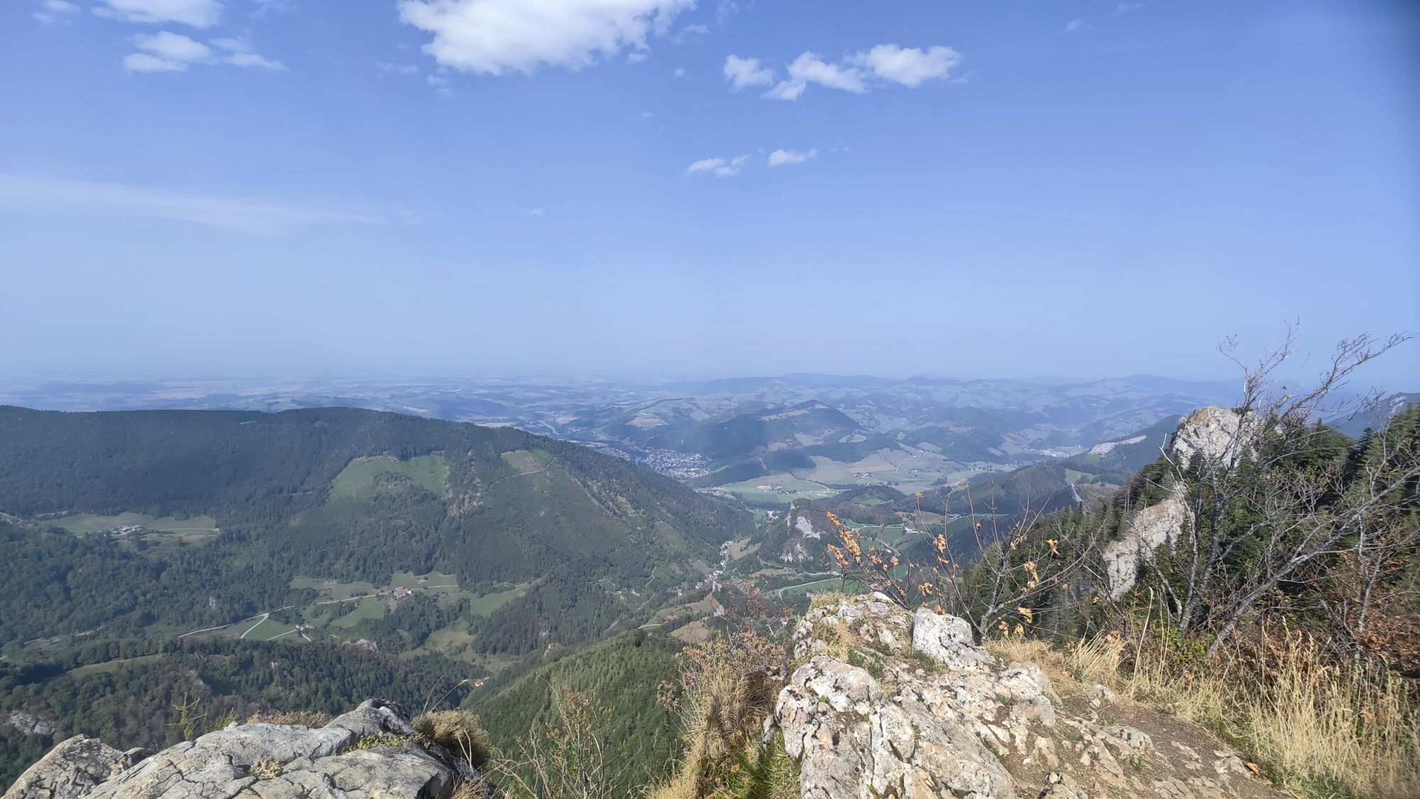
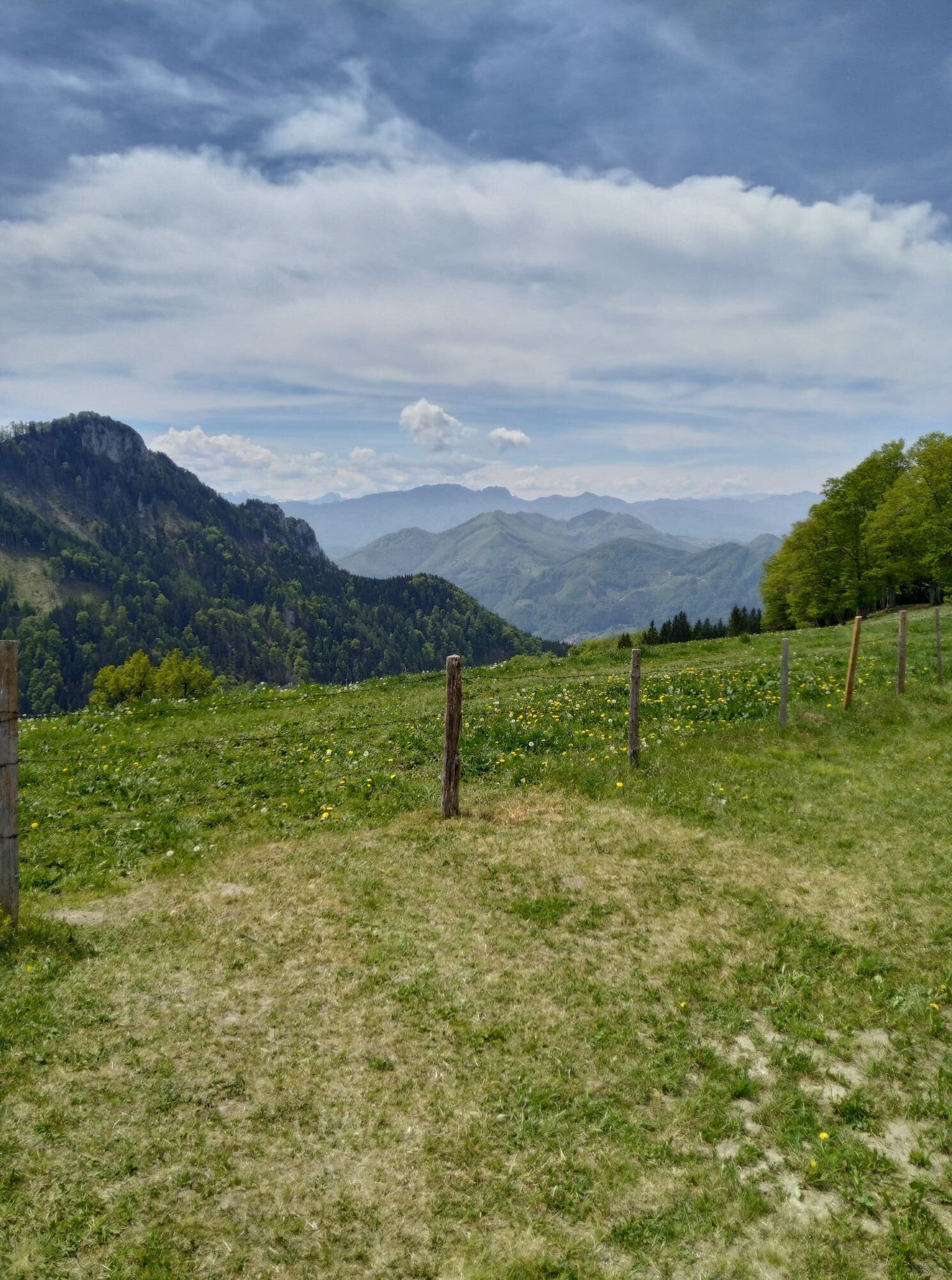

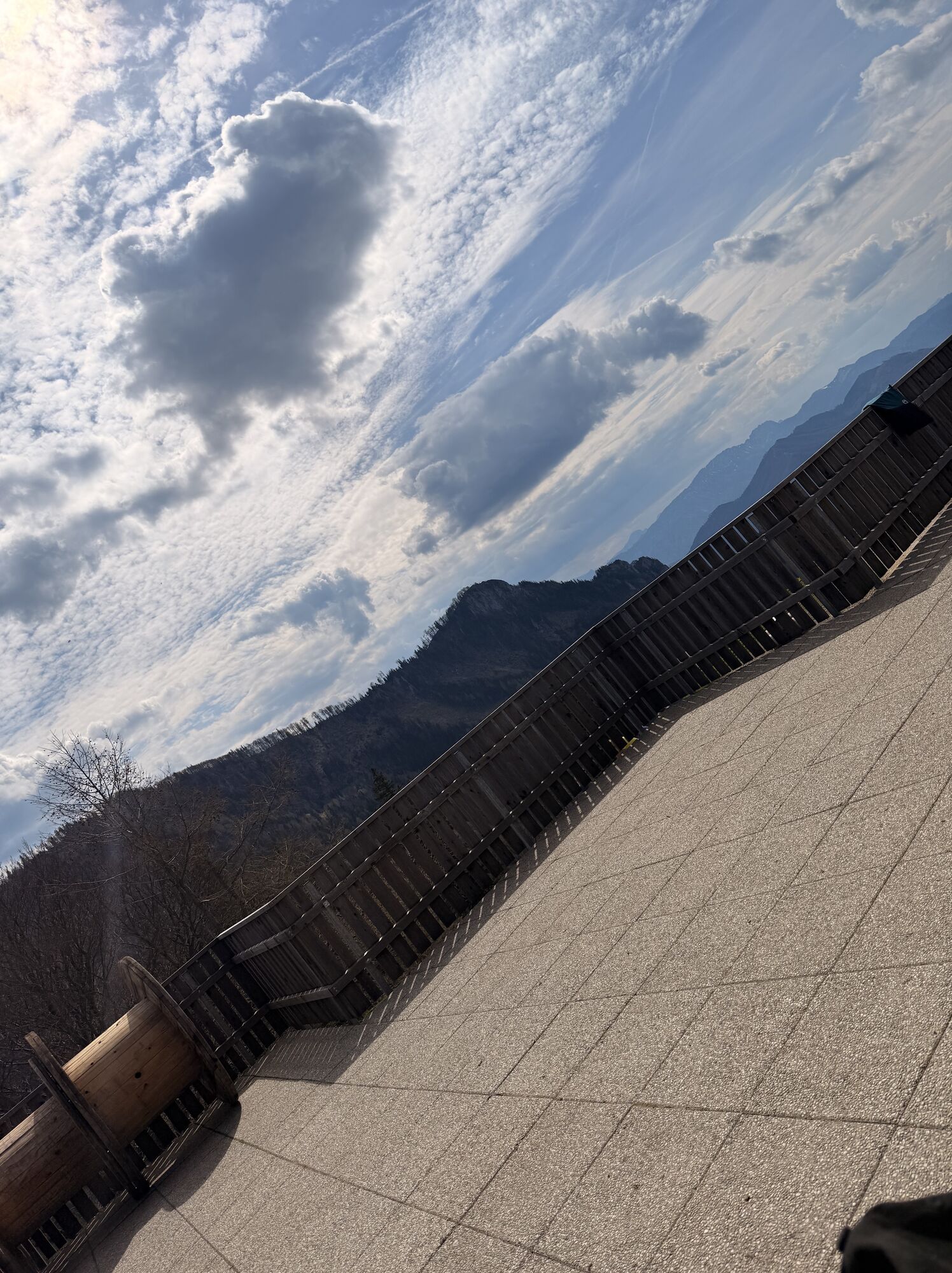
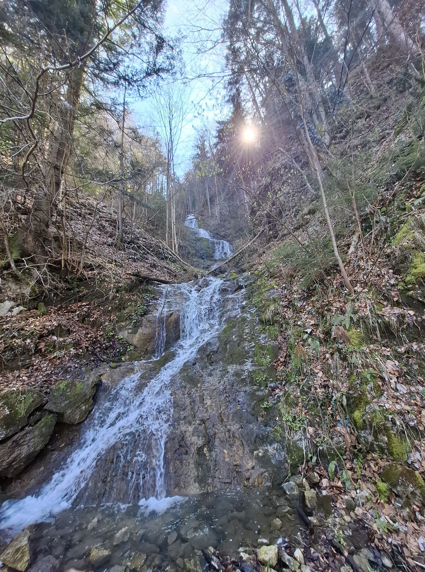
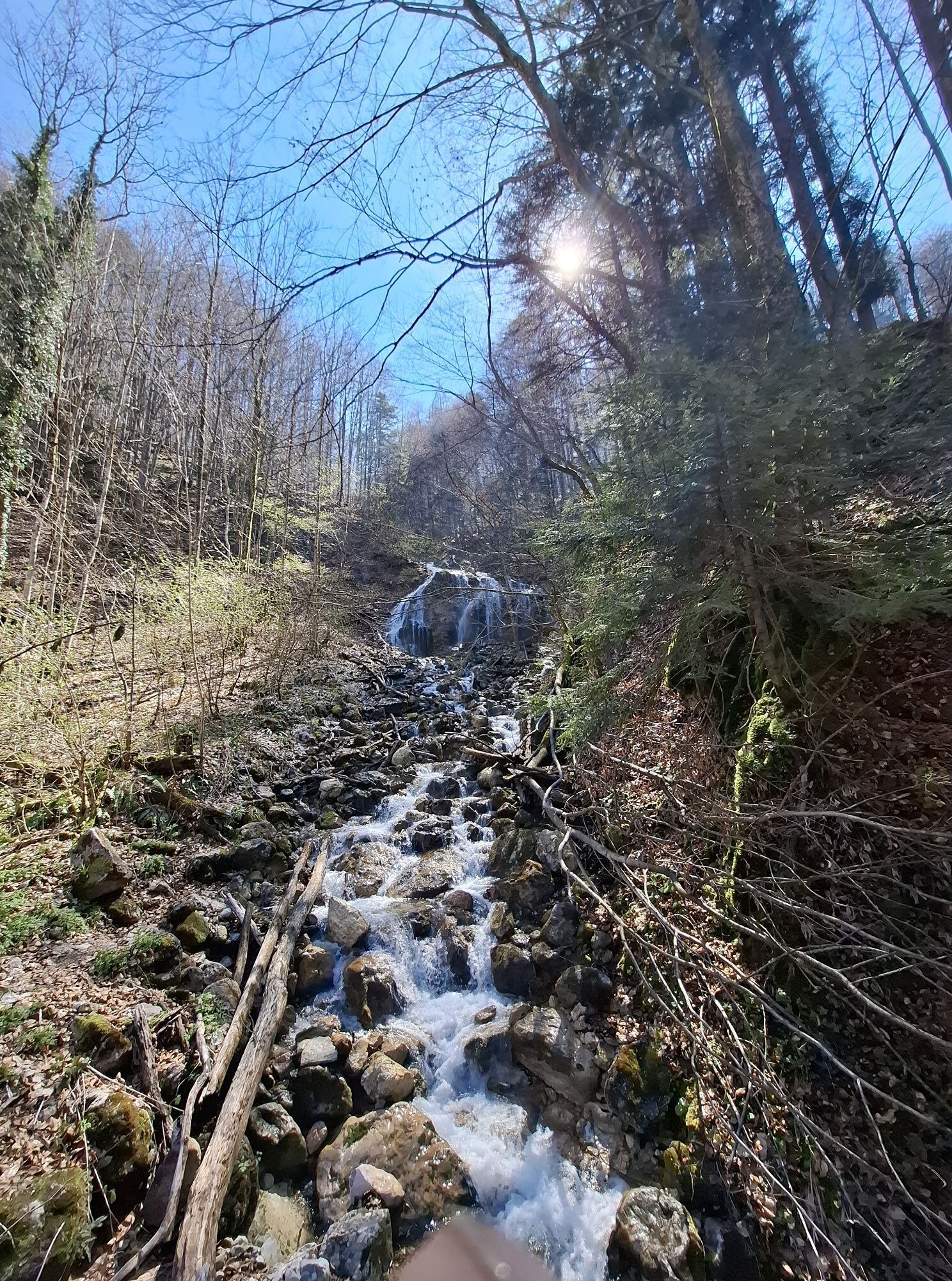
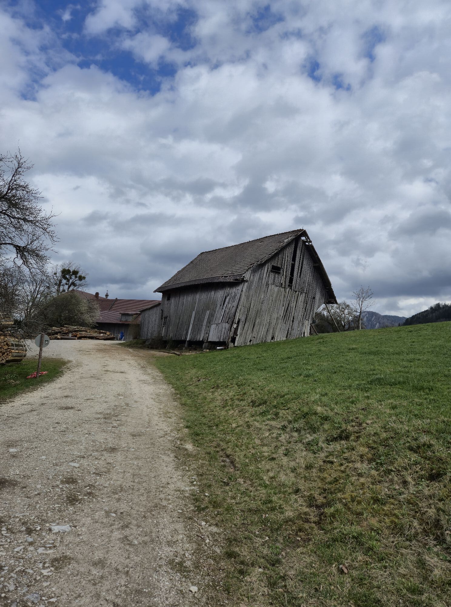
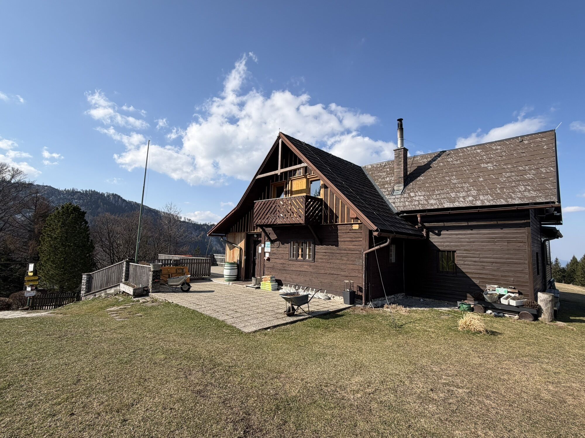


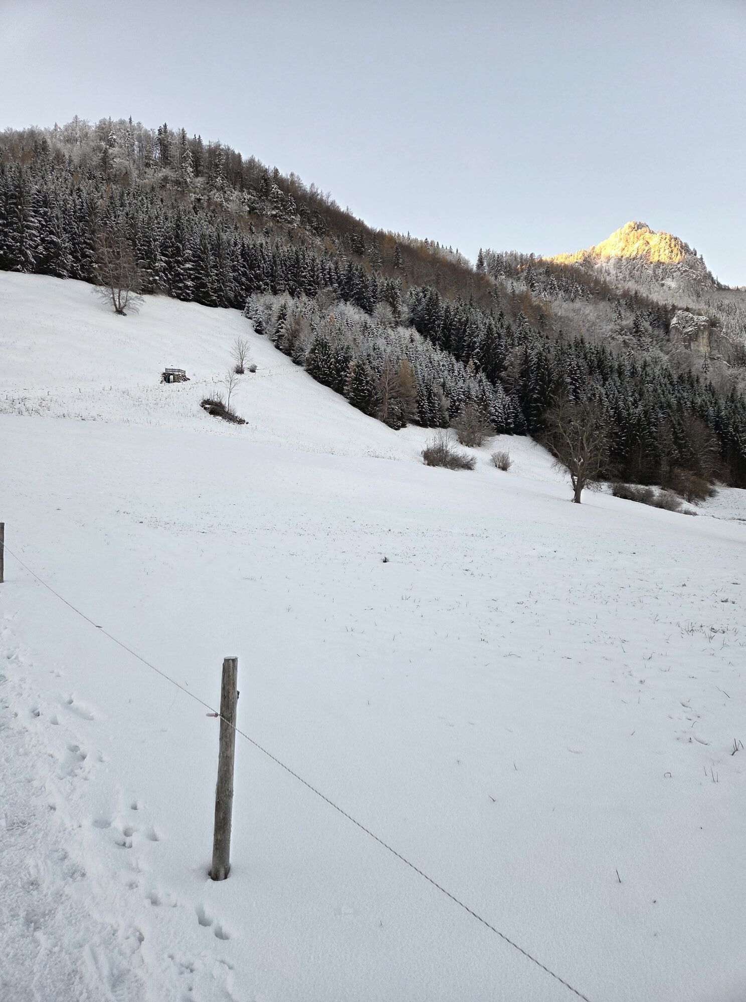


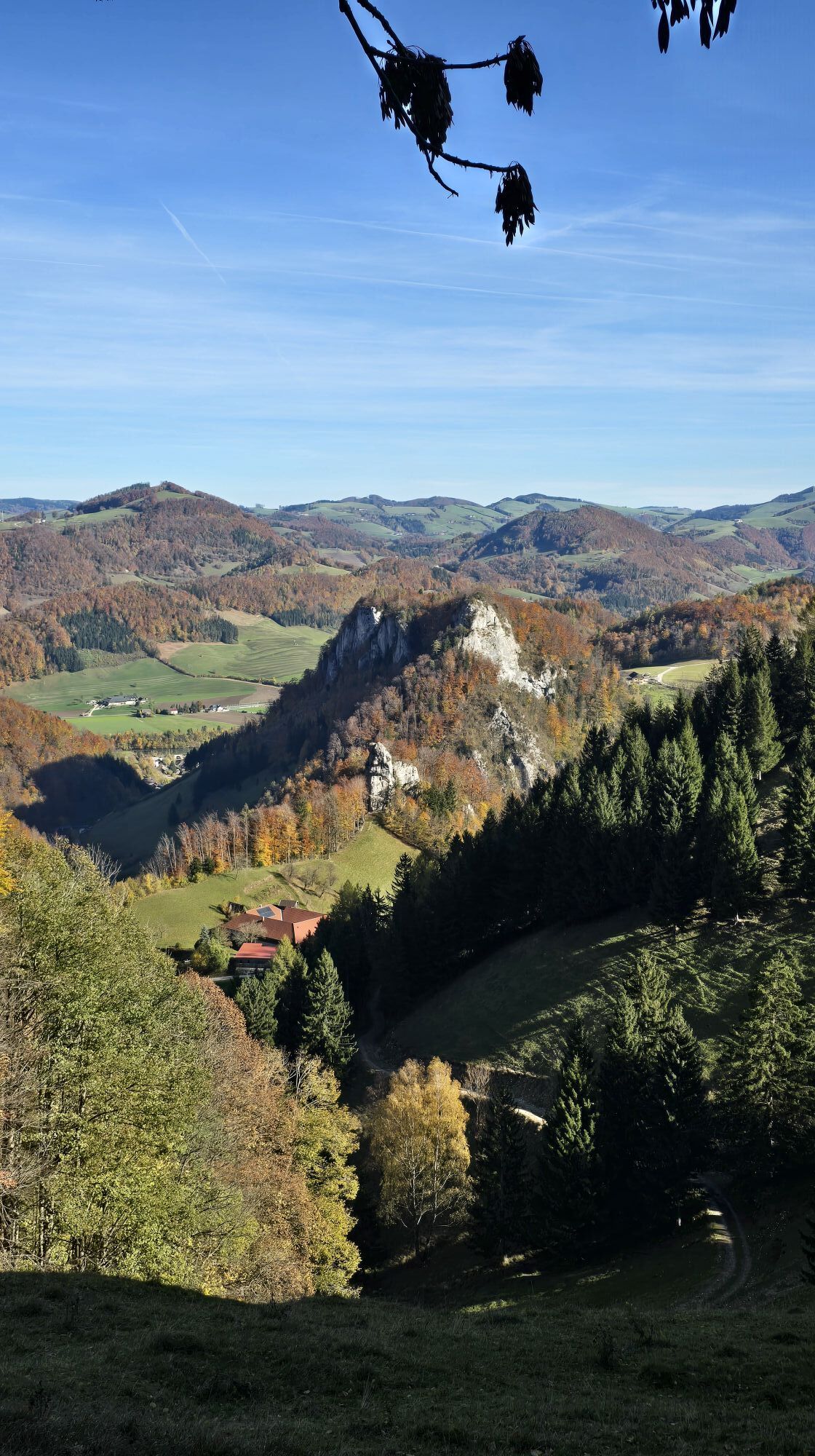
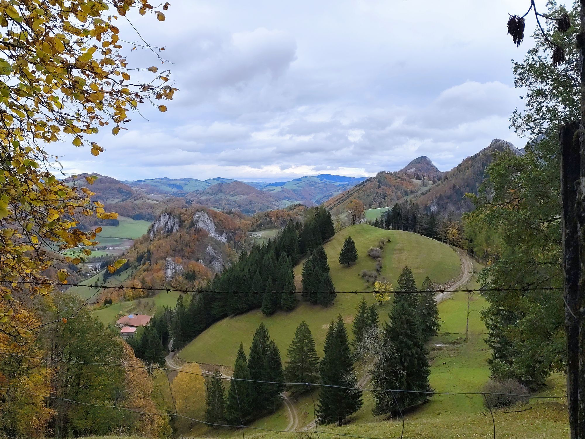

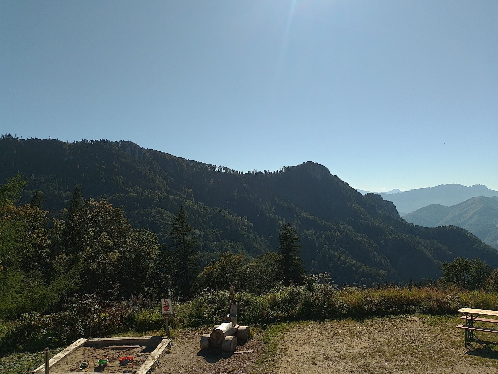


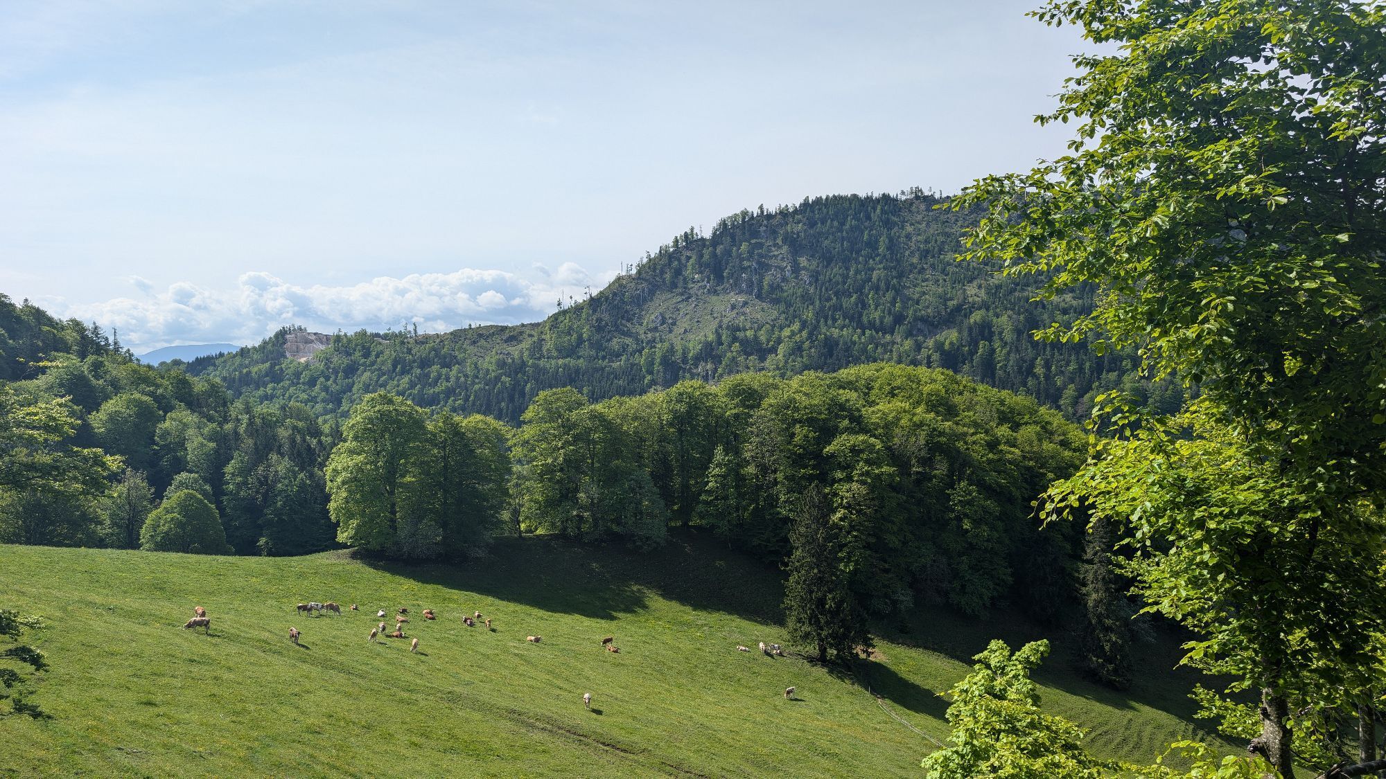


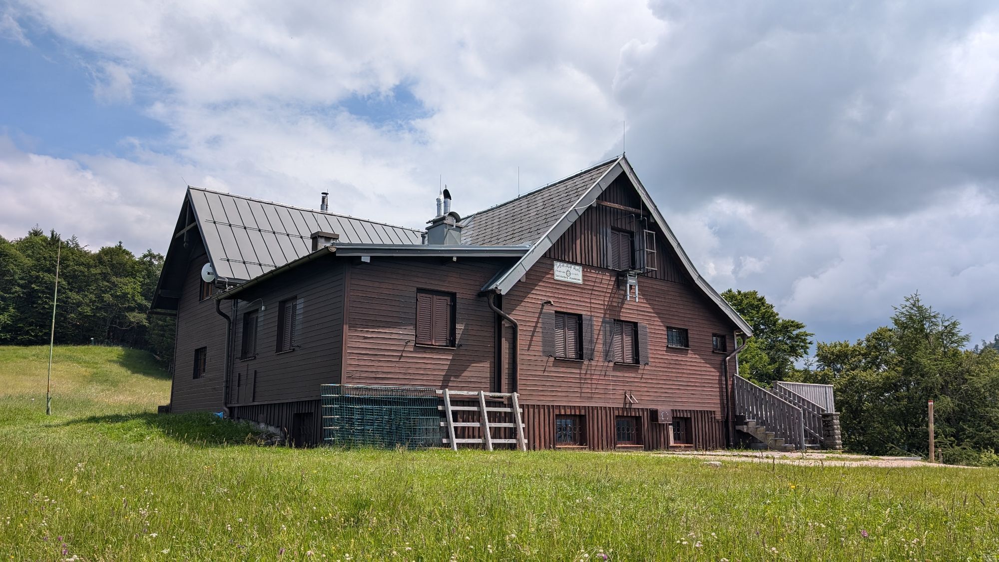
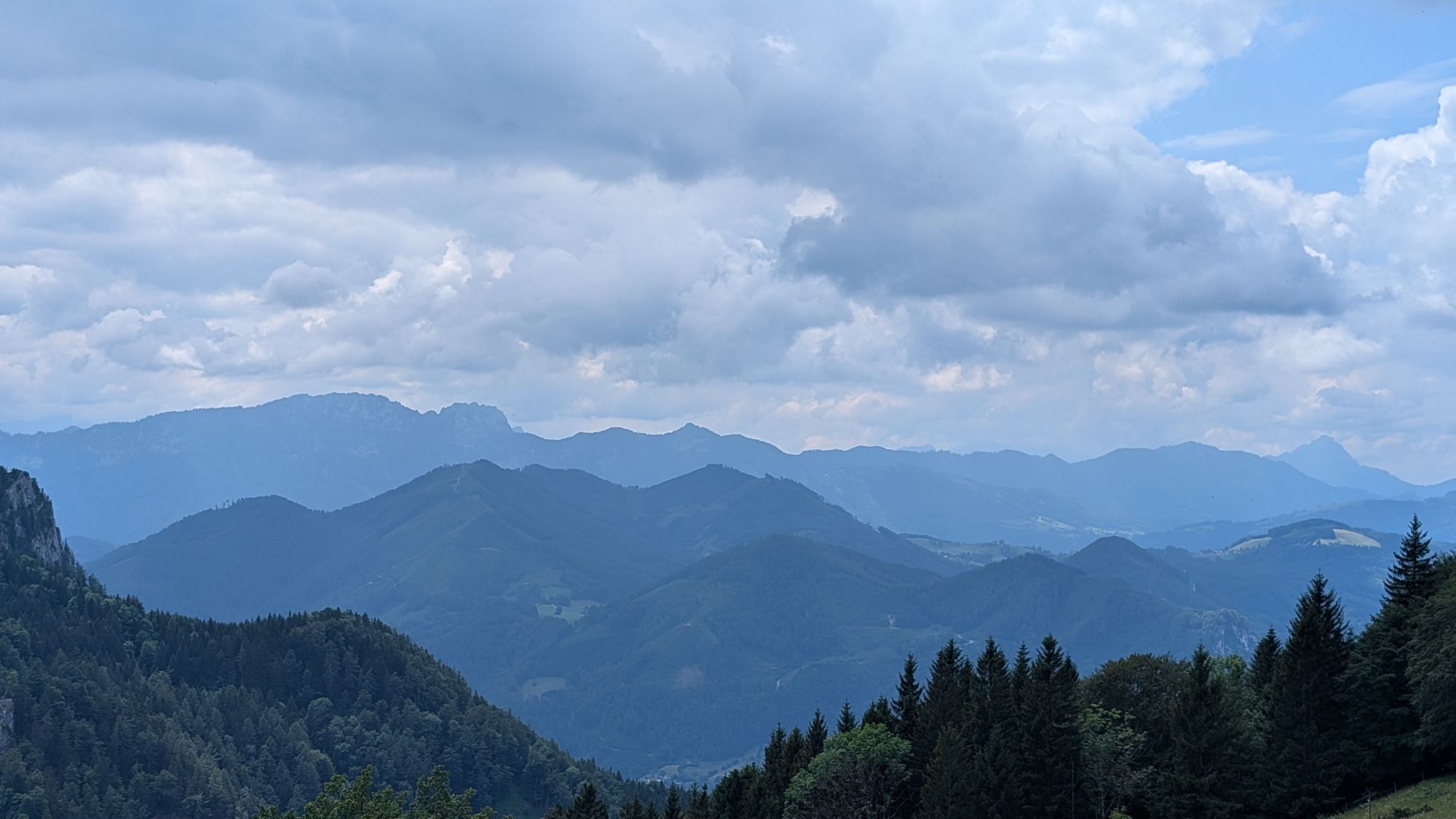

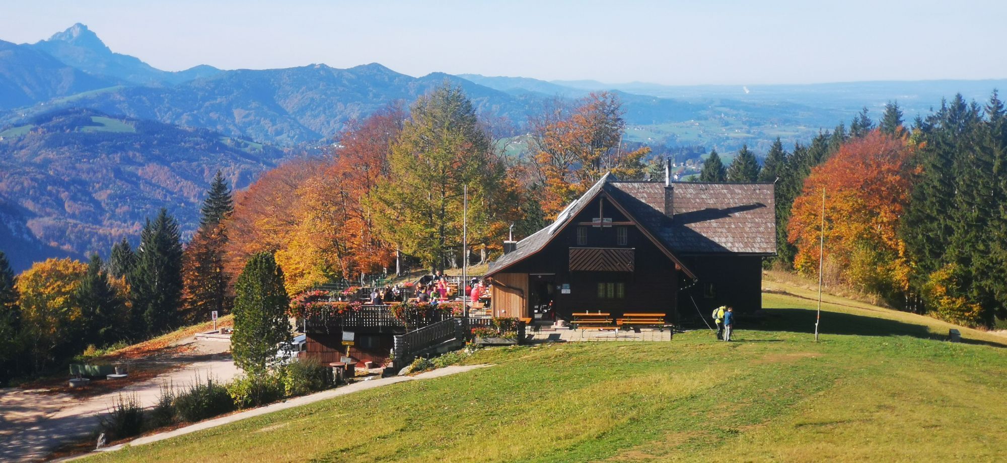
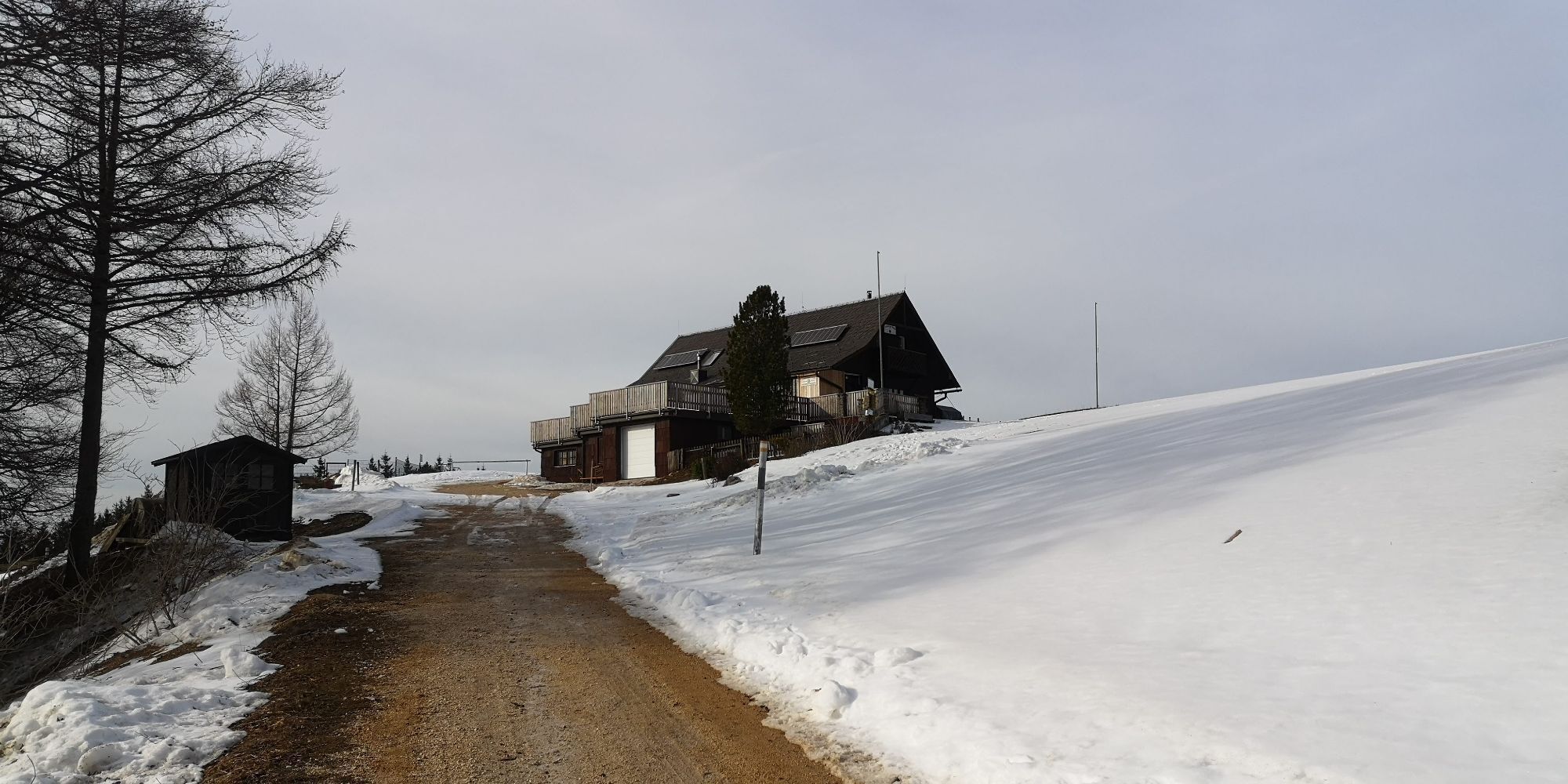
From the village square Steinbach you cycle off. An eventful tour suitable for families.
Trasa
Steinbach an der Steyr
(382 m)
Wioska
0,0 km
Untergrünburg
(372 m)
Wioska
0,0 km
Grünburger Hütte
(1 079 m)
Schronienie
15,1 km
Schreibachfall
(698 m)
Wodospad
19,8 km
Breitenau
(460 m)
Rozliczenie
41,2 km
Berggasthof Windhager-Kores
(475 m)
Restauracja
41,4 km
Steinbach an der Steyr
(382 m)
Wioska
56,9 km
Trasa
Gaisberg Runde ab Steinbach
ciężki
Mountainbike
56,99
km
Steinbach an der Steyr
(382 m)
Wioska
0,0 km
Untergrünburg
(372 m)
Wioska
0,0 km
Brettmaisalm
(1 056 m)
Schronienie
14,7 km
Grünburger Hütte
(1 079 m)
Schronienie
15,1 km
Schreibachfall
(698 m)
Wodospad
19,8 km
Mösern
(945 m)
Korytarz/teren
29,5 km
Breitenau
(460 m)
Rozliczenie
41,2 km
Berggasthof Windhager-Kores
(475 m)
Restauracja
41,4 km
Steinbach an der Steyr
(382 m)
Wioska
56,9 km
Untergrünburg
(372 m)
Wioska
56,9 km
Autor
Dostarczone przez Alpenland Tourismus GmbH
Wycieczkę Gaisberg Runde ab Steinbach zapewnia outdooractive.com.


Informacje o trasie
Trasa
From the town square Steinbach you cycle along the Schulstraße into the Au and then at a bend in the road down to the right to the Haunoldmühlbrücke. However, do not cross this bridge, but pedal upstream on the Bezirksstraße in the direction of Molln. At a chapel turn left into the Dorngraben. After 400 m the gravel road begins. On the right you pass a barrier. Now take another deep breath, because from now on you have to overcome some meters of altitude up to Pfaffenboden. Once there, a detour to the Grünburger Hütte - 1.5 km - would be highly recommended, or you can continue straight ahead in the direction of Trattenbach, past the "Scheibach waterfall". At a farmhouse turn right onto a track. After the Klausbach brook turn right and shortly after at a house turn right again uphill to the Klausriegler inn. A goods road leads you straight on to a fork. Here you steer to the right and pass the Hubertus chapel. The route continues on the Schönbach forest road until you reach the "In der Mösern" junction. Here you take the right path downhill to Breitenau. At km 31/860 hm the route branches off sharply to the right into a small wood. Now follow the red-white-red hiking trail markings. The following 300 m long meadow path to the Bilderstadeln is a pushing stretch. Then you continue your tour on a trail through the forest. You pass a wooden barn on the left until you reach an old house. After that you leave the trail and follow the gravel road to the left until you reach the valley. From there, turn right onto the Breitenauer Bezirksstraße in the direction of Molln. Shortly after the Steiner Kraml inn (closed on Tuesdays) turn right towards Molln-Sonnseite. In a comfortable up and down past the gravel pit back to the Dorngraben Chapel and from there as in the outward journey back to the starting point Steinbach.suitable for families!
Translated with www.DeepL.com/Translator (free version)
Wycieczka w jedną stronę
Tak
Sprzęt
Sun and rain protection, repair kid for minor bike breakdowns.
Instrukcje bezpieczeństwa
Inquire in advance about any road or trail closures along the route.
Dodatkowe informacje i wskazówki
Dodatkowe informacje
You can obtain map material at www.steyr-nationalpark.at
Nie ma jeszcze recenzji

Wszystkie kamery internetowe na mapie
Zainstaluj aplikację za darmo i porównaj obrazy na żywo z kilku miejsc, zanim wyruszysz w drogę.
Skorzystaj już teraz z funkcji „ bergfex ” w aplikacji
Zeskanuj kod QR za pomocą aparatu
Po zainstalowaniu aplikacji treść otworzy się od razu. Jeśli jeszcze nie masz tej aplikacji, zostaniesz przekierowany do strony, z której możesz ją bezpłatnie pobrać.
Popularne wycieczki w okolicy
- 4,7
Grünburger Hut via Dorngraben Molln
średniWędrówka 3,43 km - 4,6
Schoberstein (from Molln)
średniWędrówka 3,63 km - 4,9
Dambergwarte
światłoWędrówka 3,28 km - 4,8
Steinerner Jäger (1185m) und Schieferstein (1206m) ab Parkplatz Hochhabichler
średniWędrówka 4,46 km - 4,7
Hoher Nock von Rettenbach Rettenbach, Windischgarsten,
średniWędrówka 11,5 km - 4,7
Steinerner Jäger (1185m) und Schieferstein (1206m) ab Parkplatz Hack
ciężkiWędrówka 8,58 km - 4,6
Dürres Eck - Gaisberg - Hochbuchberg
średniWędrówka 11,2 km - 4,5
Rinnende Mauer - Gorge Trail
średniWędrówka 7,20 km - 4,4
Kleine Gipfelrunde Glasenberg
światłoWędrówka 4,99 km - 4,6
Pfaffenmauer - Schoberstein - Gipfel der Lust Gasthof Klausriegler, Oberösterreich/Österreich
średniWędrówka 9,72 km
Wędrówki i tropienie

Ponad 550.000 propozycji wycieczek, szczegółowe mapy i intuicyjny planer tras sprawiają, że aplikacja jest niezbędna dla wszystkich entuzjastów przyrody.

Nie przegap ofert i inspiracji na następne wakacje
Zapisz się do newslettera
Błąd
Wystąpił błąd. Spróbuj ponownie.Dziękujemy za rejestrację
Twój adres e-mail została dodana do listy mailingowej.
Wycieczki po całej Europie
Austria Szwajcaria Niemcy Włochy Słowenię Francja Holandia Belgia Polska Liechtenstein Czechy Słowacja Hiszpania Chorwacja Bośnia i Hercegowina Luksemburg Andorra Portugalia Islandia Wielka Brytania Irlandia Grecja Albania Macedonia Północna Malta Norwegia Czarnogóra Mołdawia Kosowo Węgry San Marino Rumunia Estonia Łotwa Białoruś Cypr Litwa Serbia Bułgaria Monako Dania Szwecja Finlandia


