







Granite Beer Route: Stage 3







Description:
Along the valley flank of the Kleines Mühltal, diverse ridge biking surprises with crisp ascents & swift descents. Across hidden hinterland hills, continue to Sarleinsbach. Two region-typical...
Along the valley flank of the Kleines Mühltal, diverse ridge biking surprises with crisp ascents & swift descents. Across hidden hinterland hills, continue to Sarleinsbach. Two region-typical inter-river ridges provide bike fun as a result: the first is purely sporty, the second pure pleasure biking. After a hearty forest ascent from the Großen Mühltal, the rural panorama high plateau delights: sublime cultural cycling meets trail fun among granite quarries. In St. Martin im Mühlkreis, a legendary Danube valley view descent to the Danube harbor town Untermühl perfectly rounds off the loop. A grand finale!
Highlights:
Neufelden (historic market square, hop gardens)
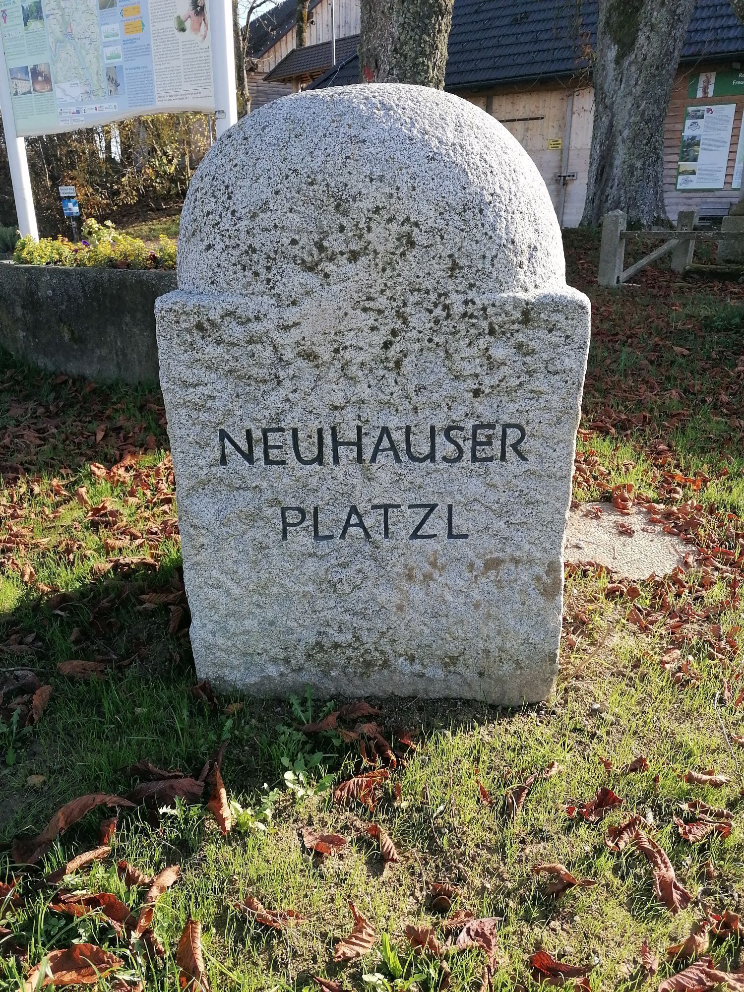
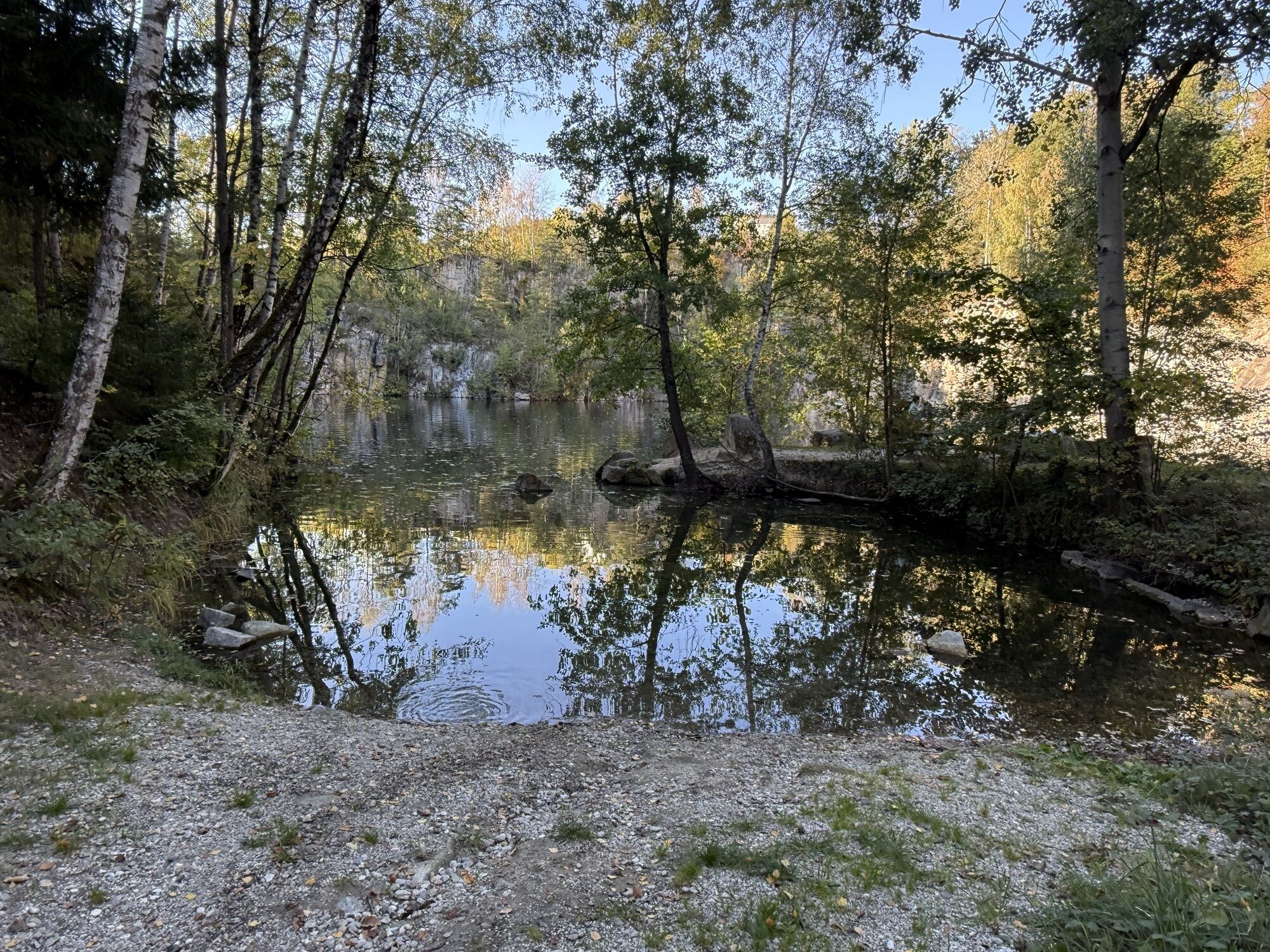
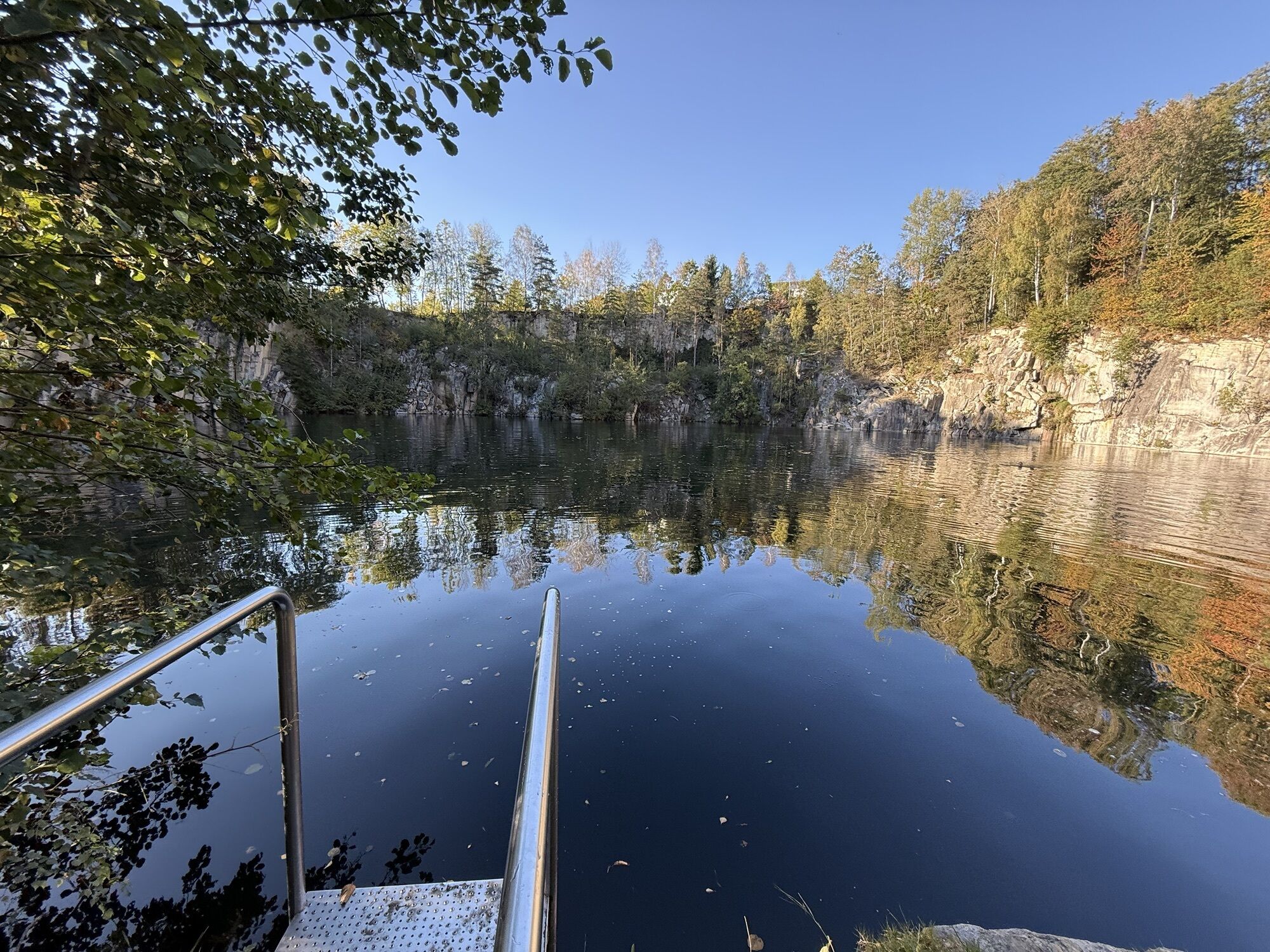
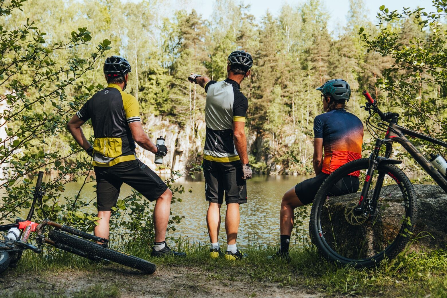
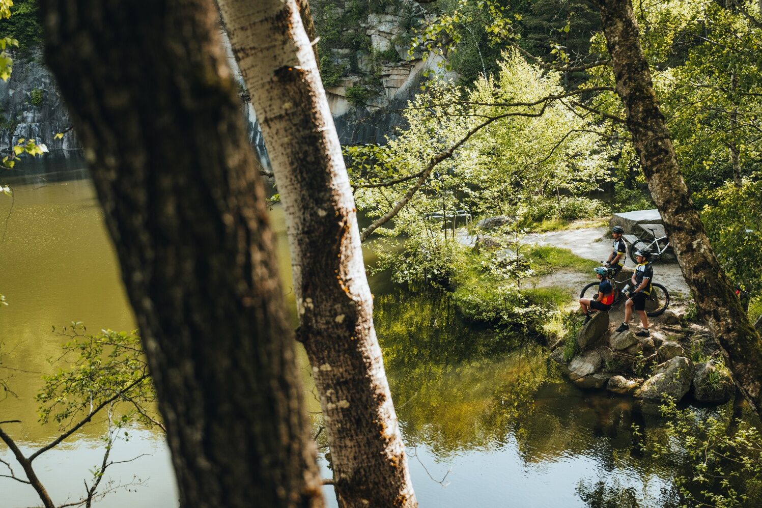
Hidden granite quarries (extraction area of the famous Neuhauser granite)
Hofstetten Brewery (oldest brewery in Austria, granite beer)
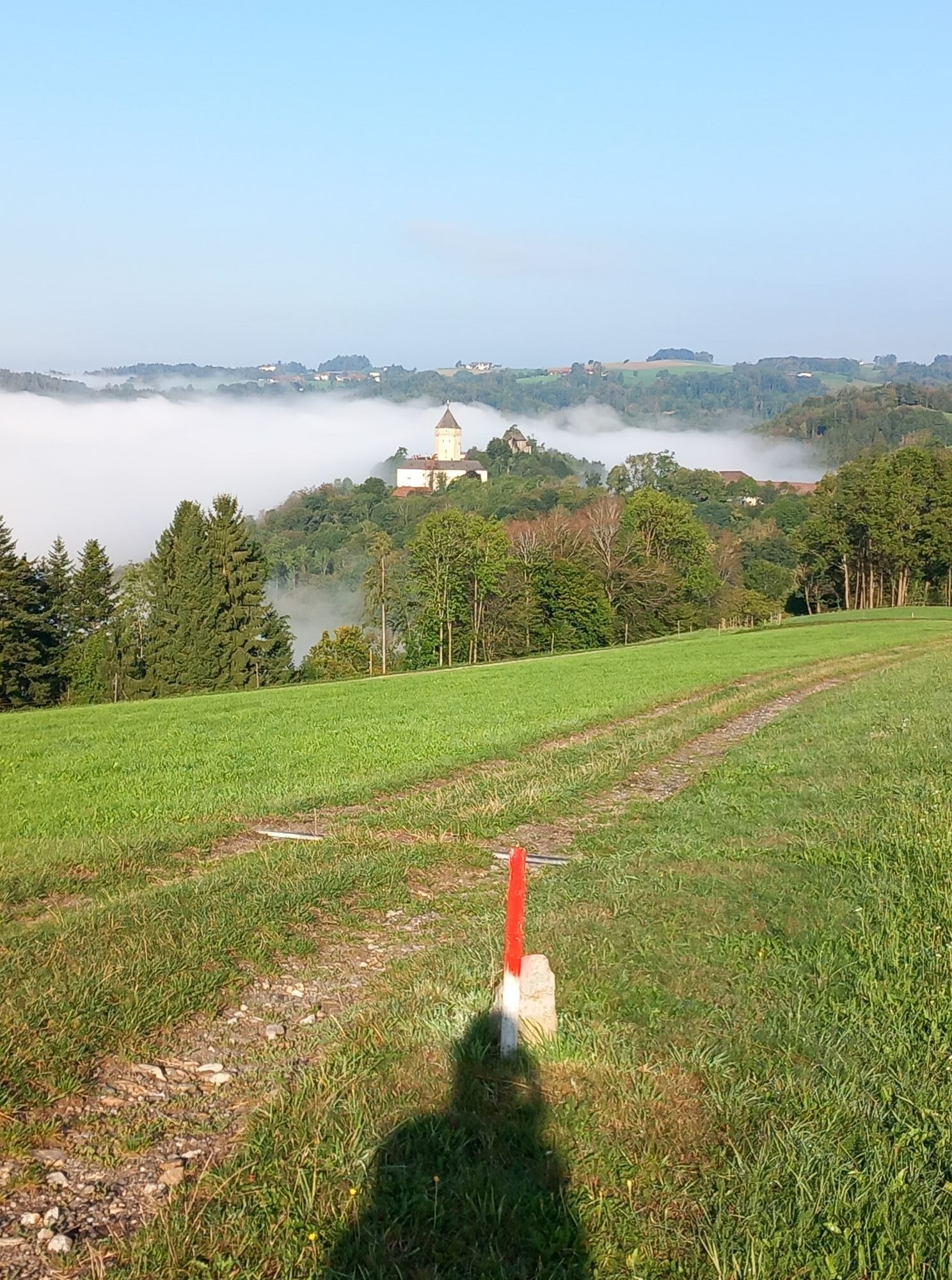
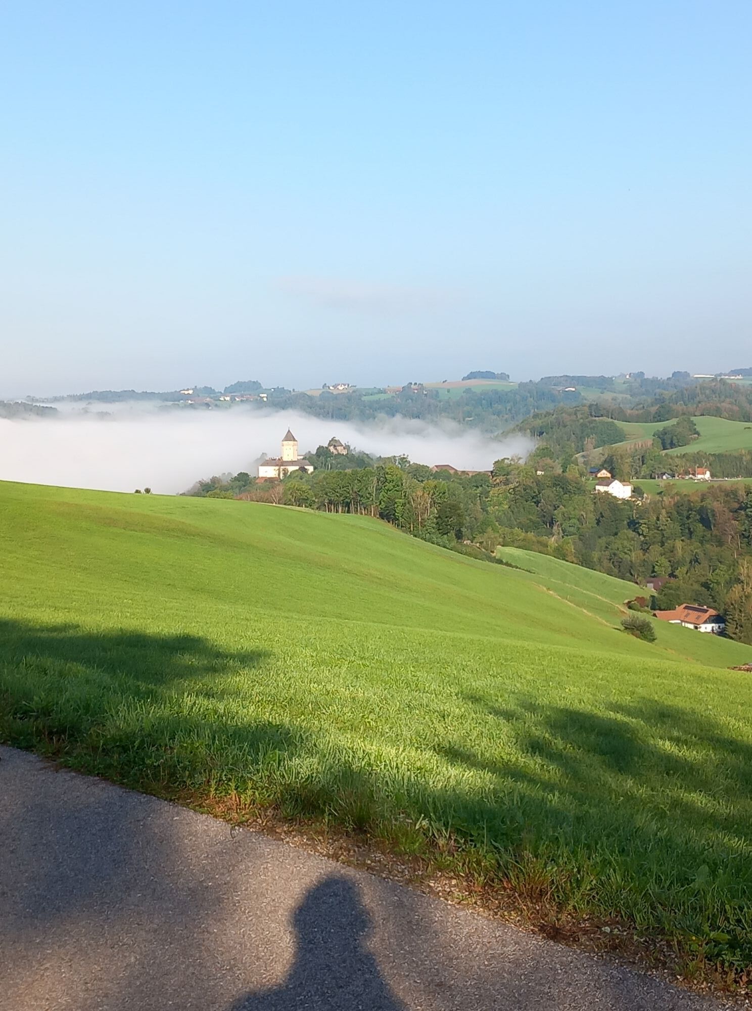
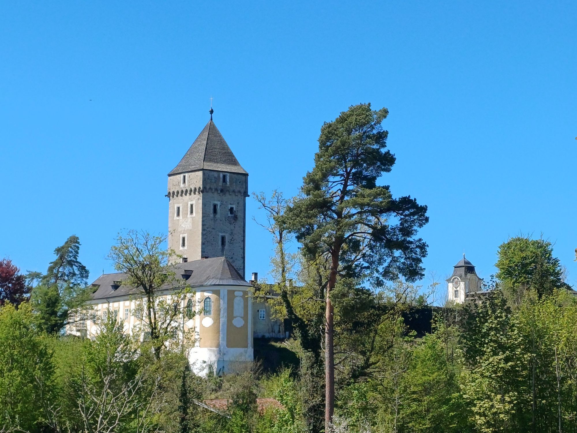
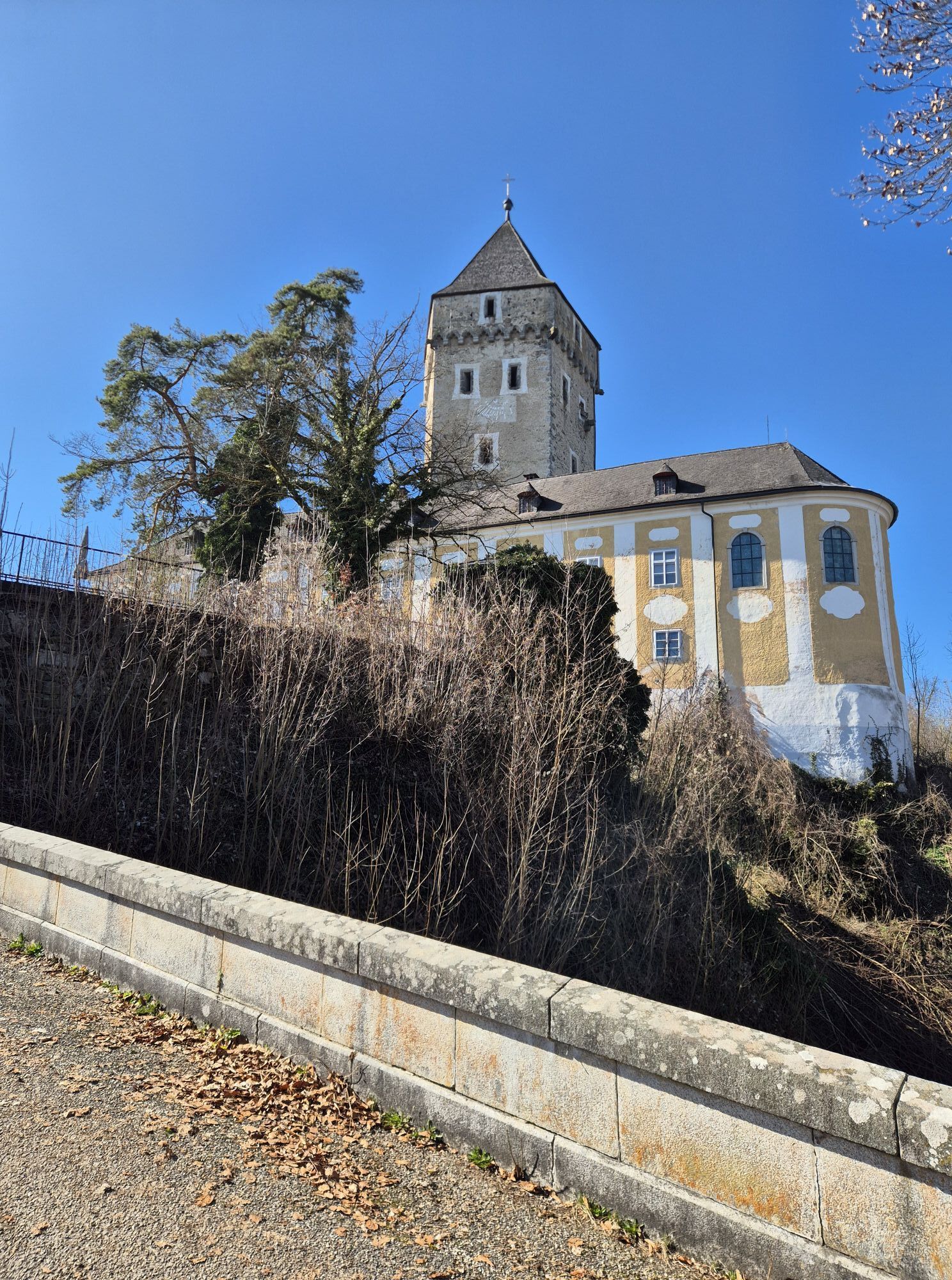
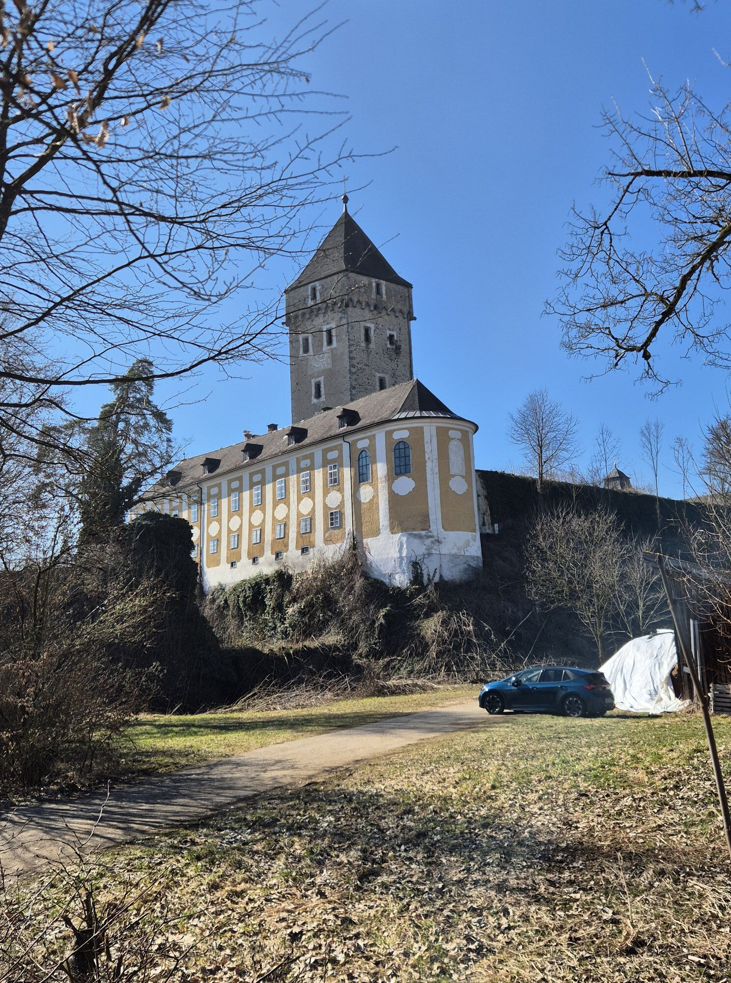
Neuhaus Castle (granite transport – end of the field railway, start of the cable car to the Danube)
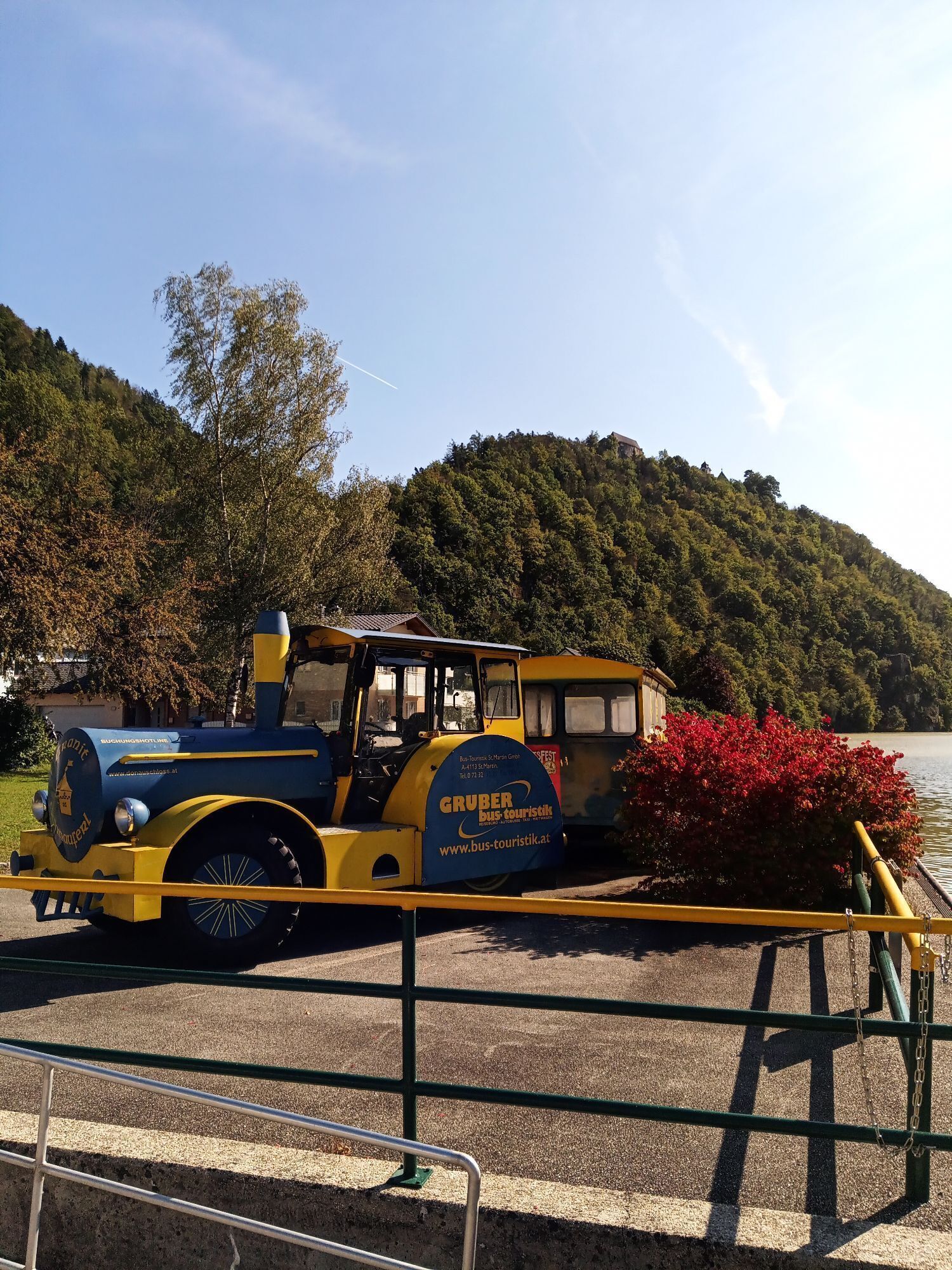
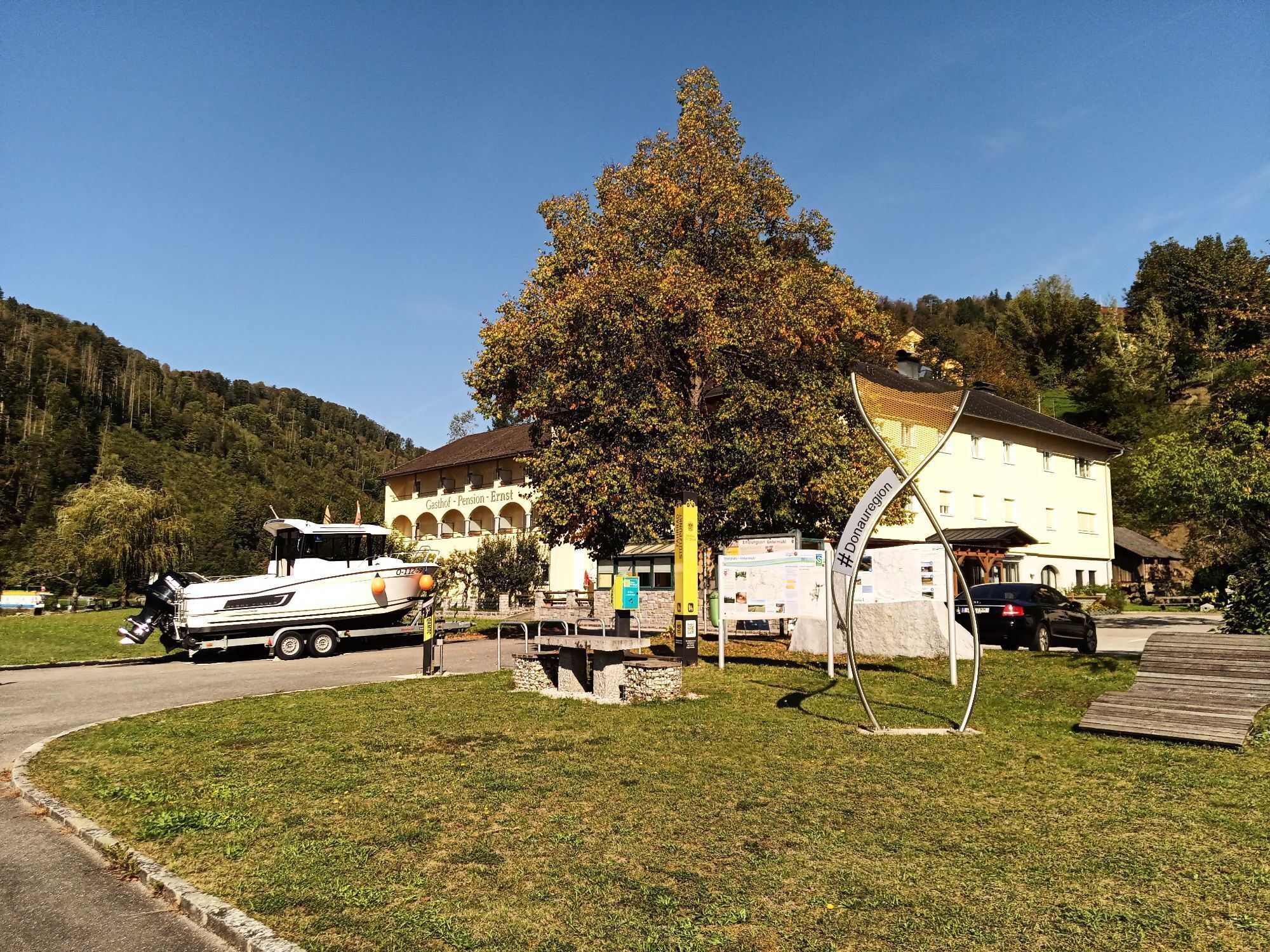
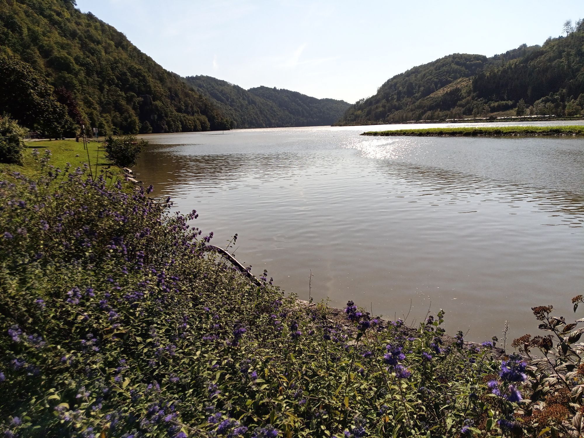
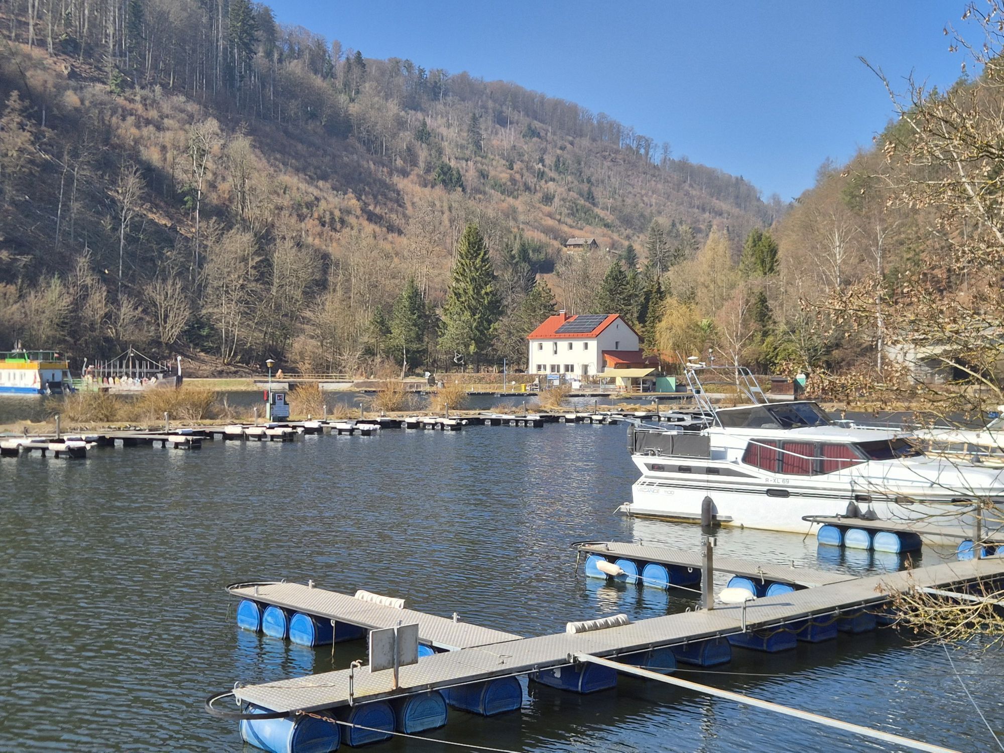
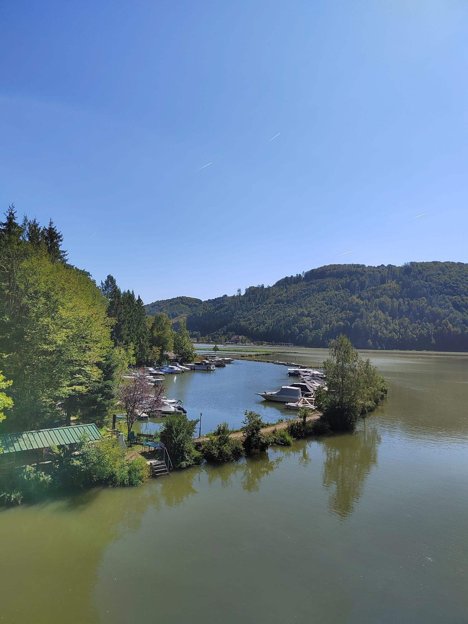
Danube harbor town Untermühl (loading point of the famous Neuhauser granite)
Directions:
Along the valley flank of the Kleines Mühltal, diverse ridge biking surprises with crisp ascents & swift descents. Across hidden hinterland hills, continue to Sarleinsbach. Two region-typical inter-river ridges now guarantee bike fun: the first purely sporty, the second pure pleasure biking. After a hearty forest ascent from the Großen Mühltal, the rural panorama high plateau delights: sublime cultural cycling meets trail fun among granite quarries. In St. Martin im Mühlkreis, a legendary Danube valley view descent to the Danube harbor town Untermühl perfectly rounds off the loop. A grand finale!
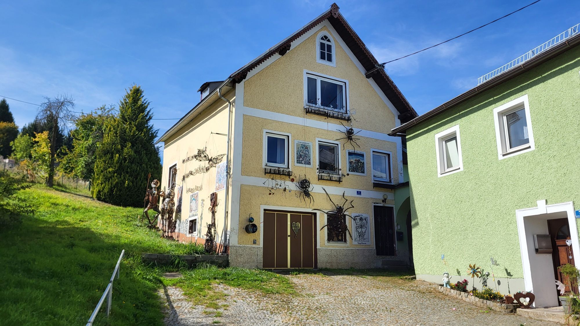
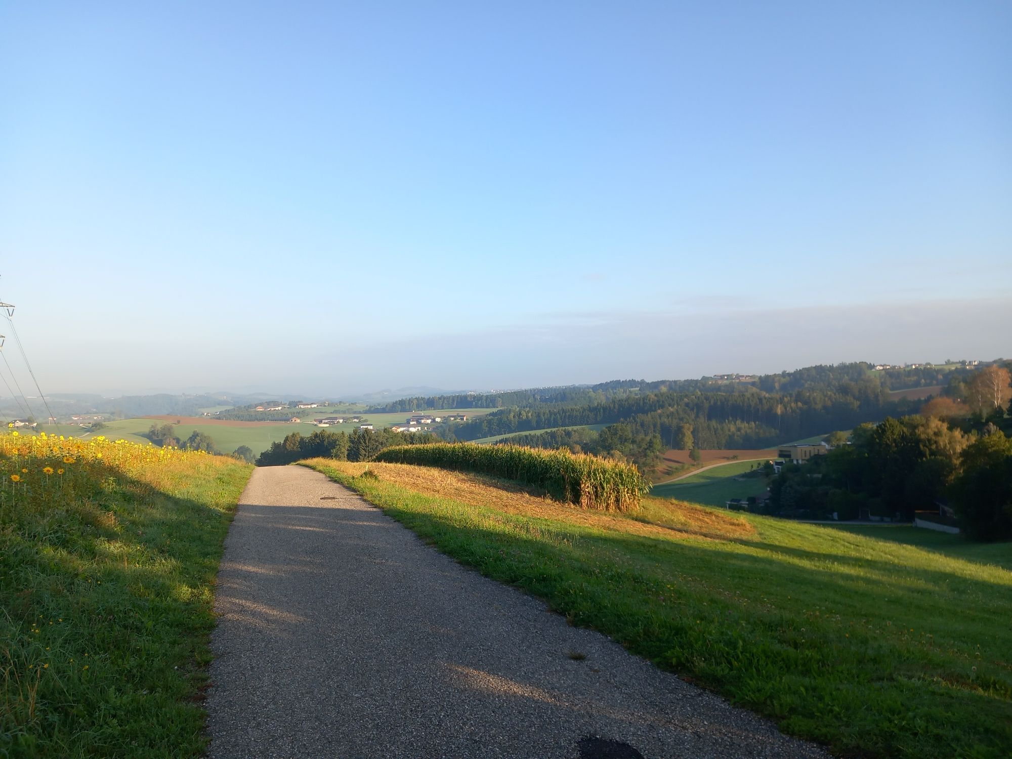
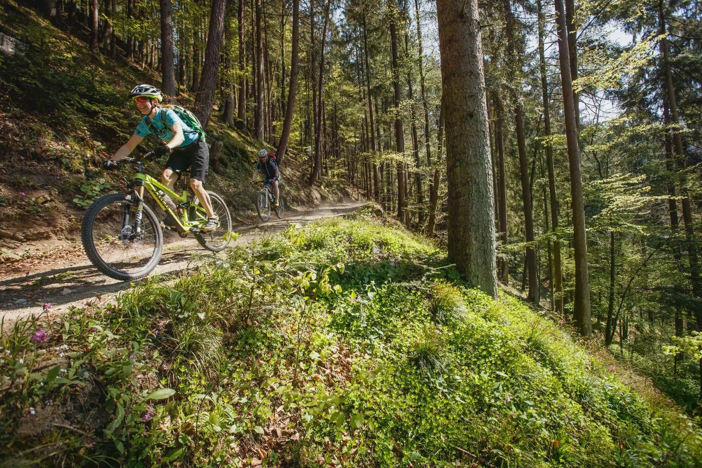
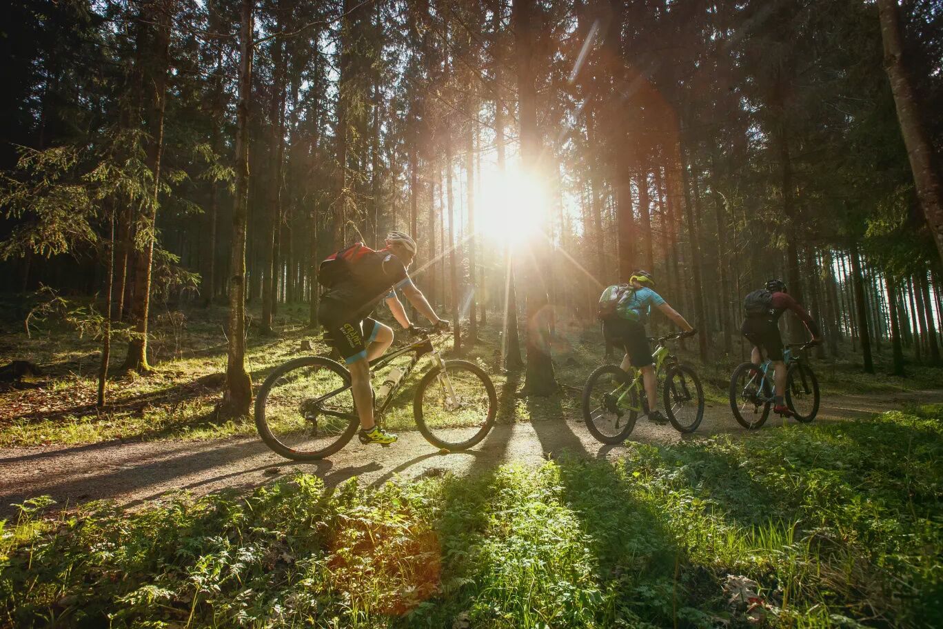
The historic market Peilstein in the Mühlviertel is the starting point for the final stage. Situated on a hill above the Kleine Mühl, its name is said to derive from a hunting ground where game was beheaded (= hunted). A quick loop leads down into the valley, up the opposite valley side to Stierberg, and back again. What follows is magnificent ridge biking along the Kleines Mühltal: lonely farm roads, rustic forest paths, idyllic meadow trails, sublime views,... Pleasure cycling alternates with crisp ascents and rapid descents! Highest point: in the mountain forest between Rampetzreit and Hennerbach (640 m). From Rutzersdorf, you climb a crisp rural double hill in the hinterland (highest point: Innerhötzendorf 580 m). A short recovery ride in a hidden forest valley, and after a tricky steep ascent, you reach the historic market Sarleinsbach. At the charming market square, neat burgher farmhouses tell of affluent local farmers with civic rights.
Now begins a peculiarity of the granite highland: inter-river ridge biking! After a rapid descent into the Lichtenbach valley, the crossing of the first inter-river ridge (4.5 km, 140 m ascent, 180 m descent) into the Kleines Mühltal starts. The steep ascent leads over a farm road, then on a crisp forest lane to Obernberg (600 m), the highest point. Congratulations! A beautiful view lets your pulse slow down. Then you joyfully race 3.2 km through beautiful farmland with short counter climbs into the forest-rich Kleines Mühltal. The route follows the river on a quiet country road.
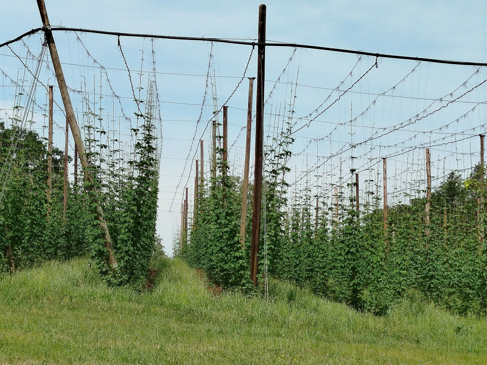
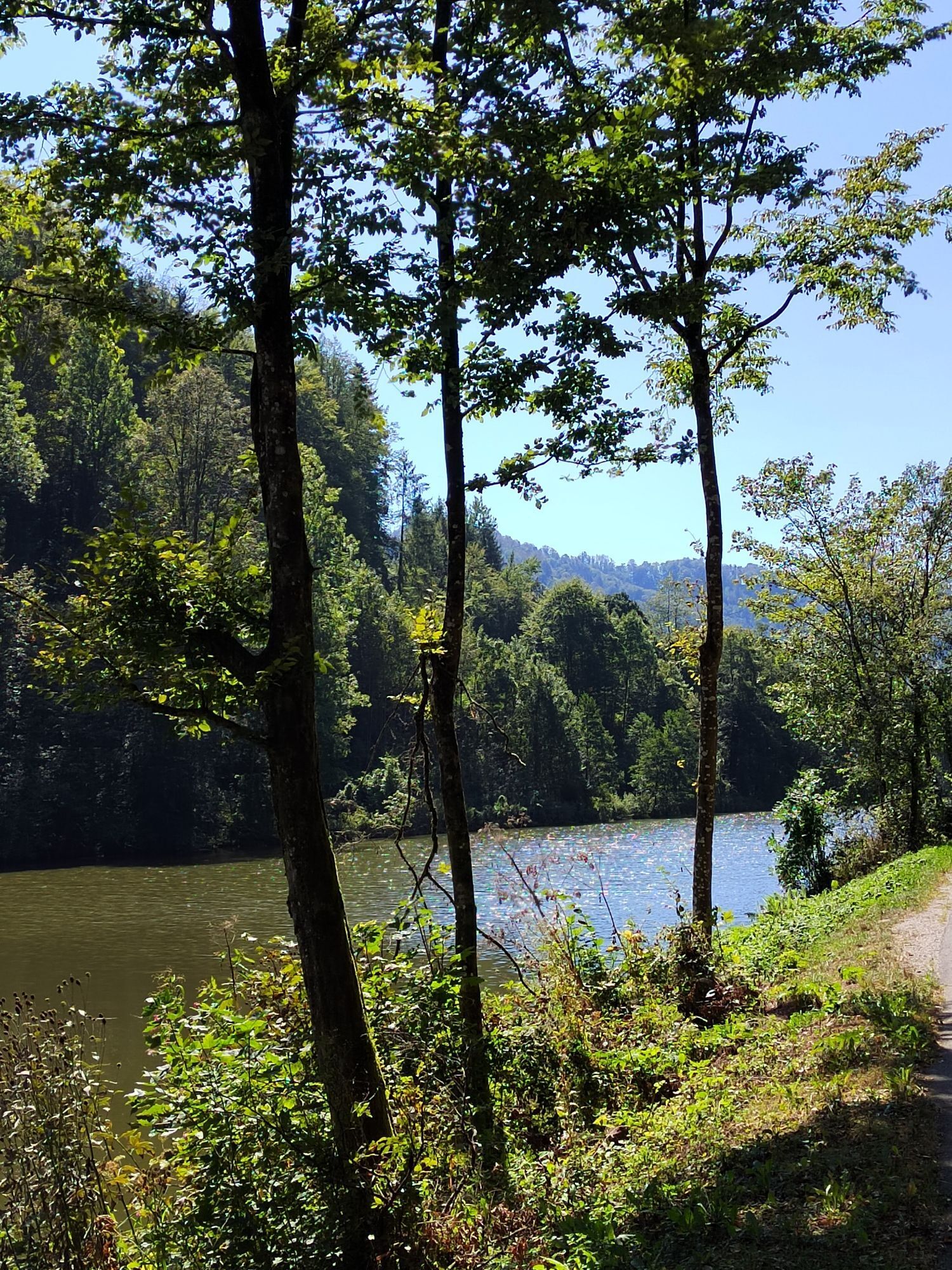
In Hühnergeschrei, the crossing of the second inter-river ridge (8 km, 220 m ascent, 200 m descent) into the Großen Mühltal begins. From the deep forest valley, you ride pleasantly up a rural ridge. After passing through Partenreit, the panorama opens up, and shortly thereafter you reach the highest point (566 m). Congratulations! Now a 3.2 km long pleasurable descent follows: through rustic Mühlviertel rural idyll – past hop gardens scented with herbs during harvest time – then through a shaded conifer forest ravine with short trail fun and later on a hidden feeder road.
After a short counter climb, you arrive at the baroque market square of Neufelden. Situated on a peninsula surrounded by the Große Mühl, the magnificent townhouses tell of prosperity through trade. The salt from Obermühl – you remember – also passed this way on its route to Bohemia. Quickly, the route descends the steep forest flank to the Große Mühl, then follows the historic river around the peninsula.
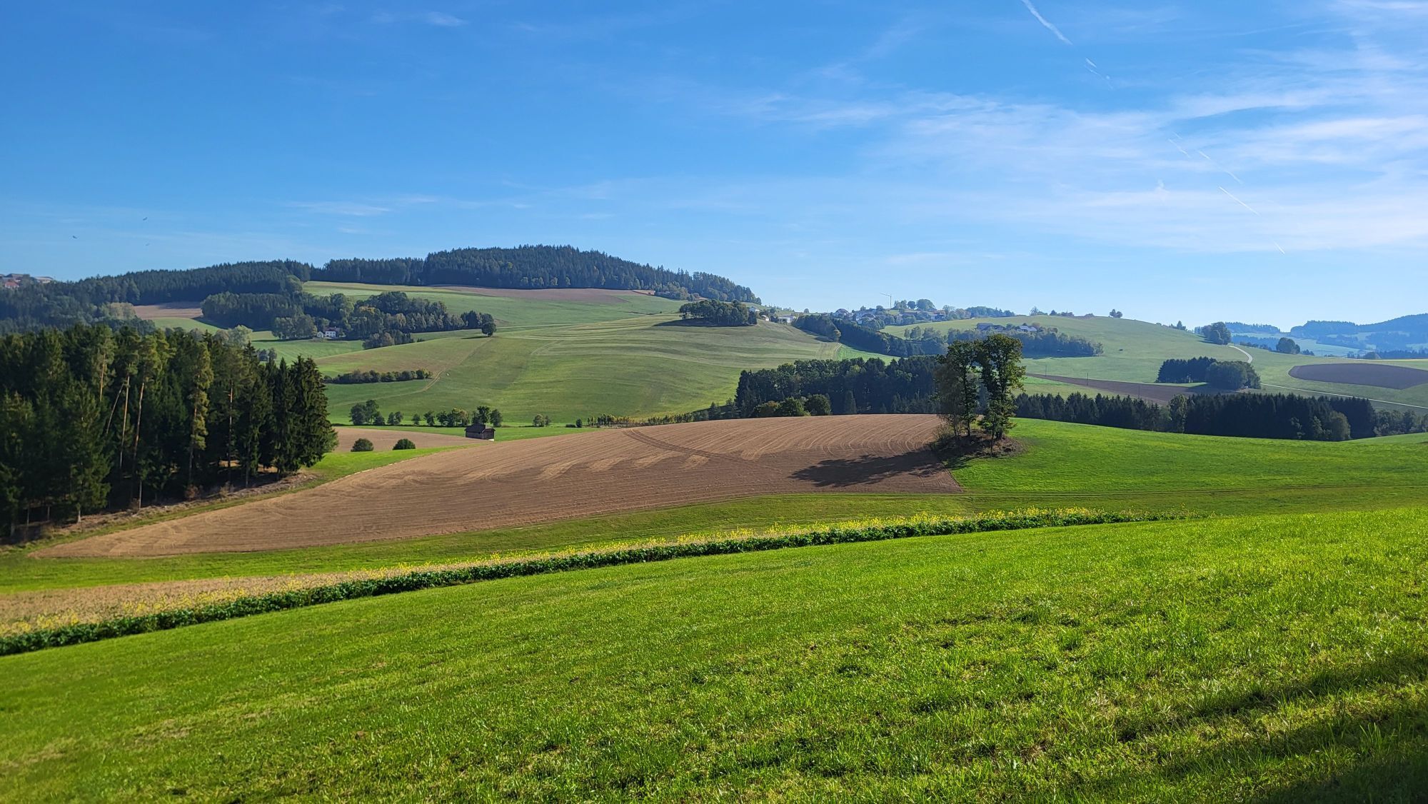
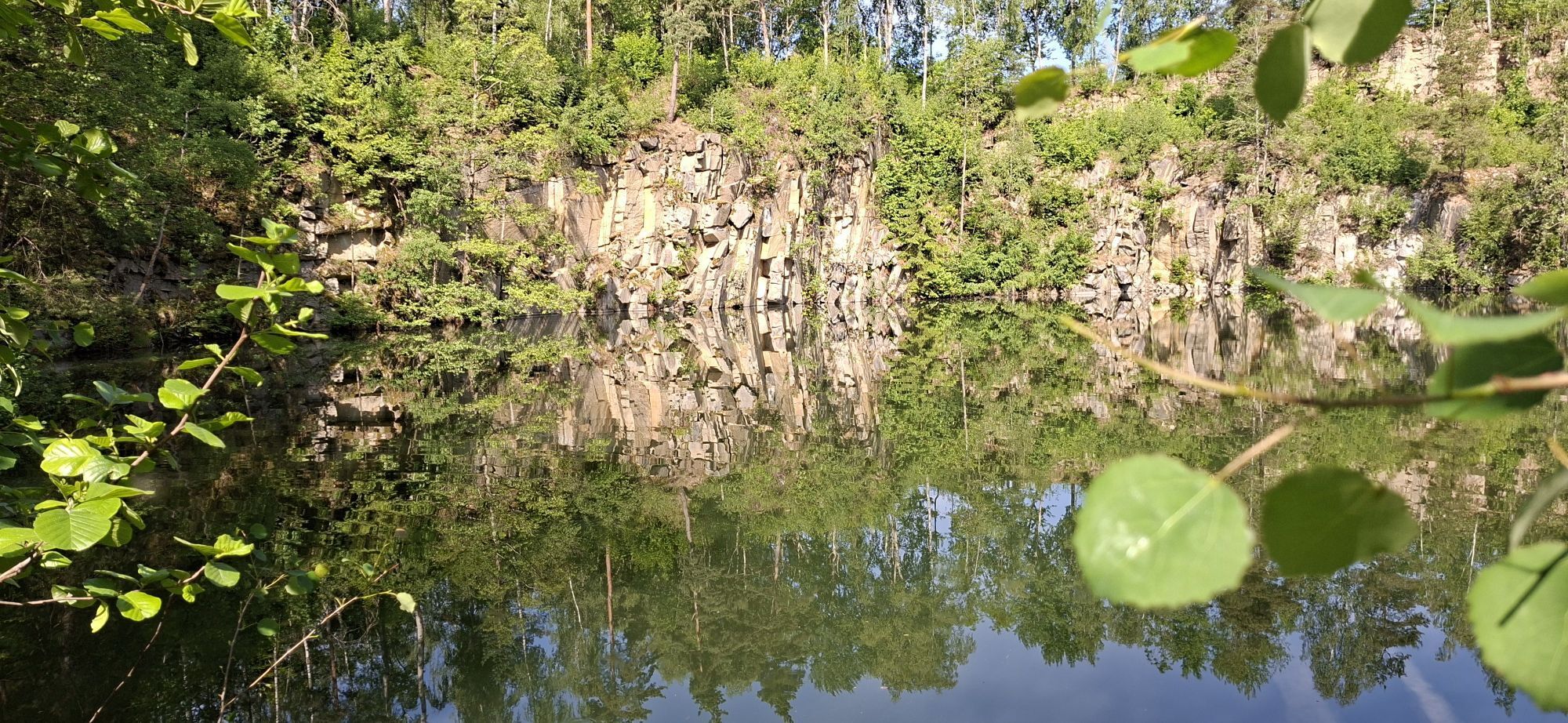
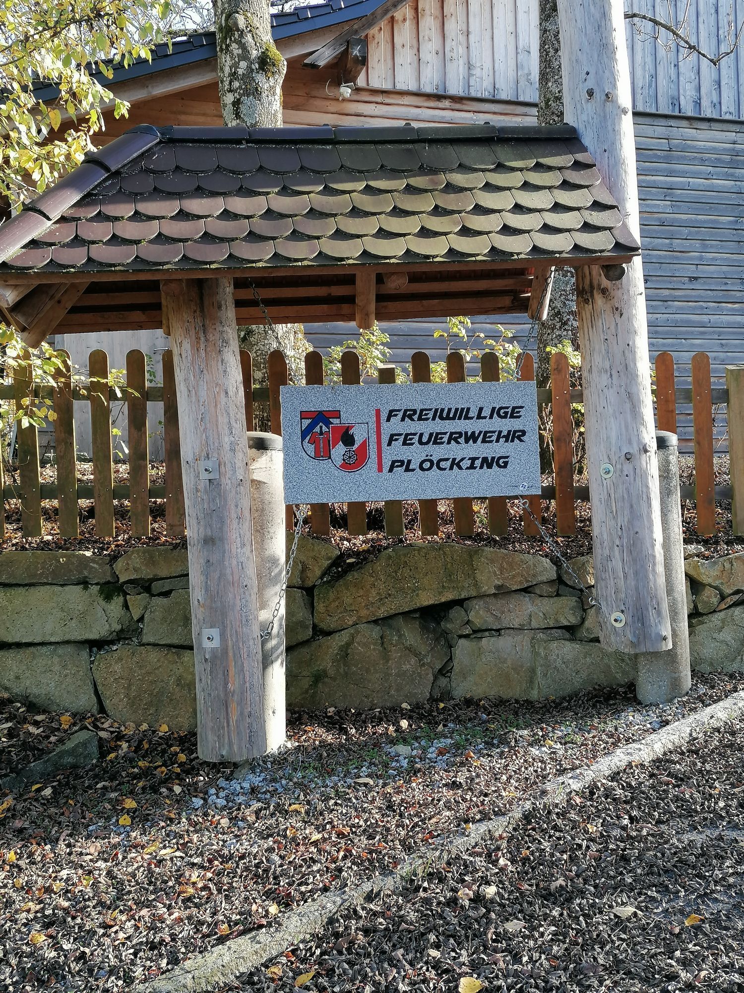
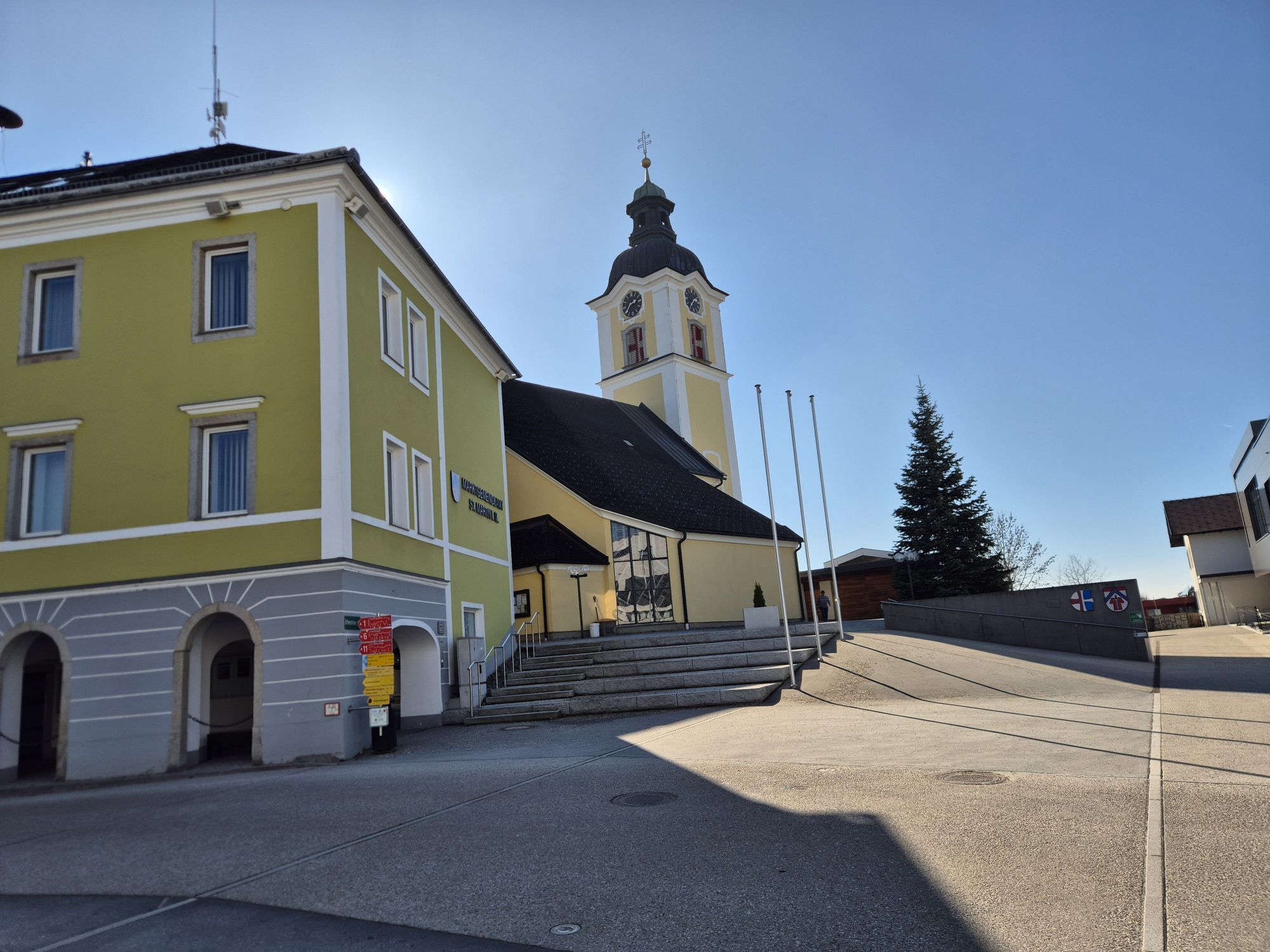
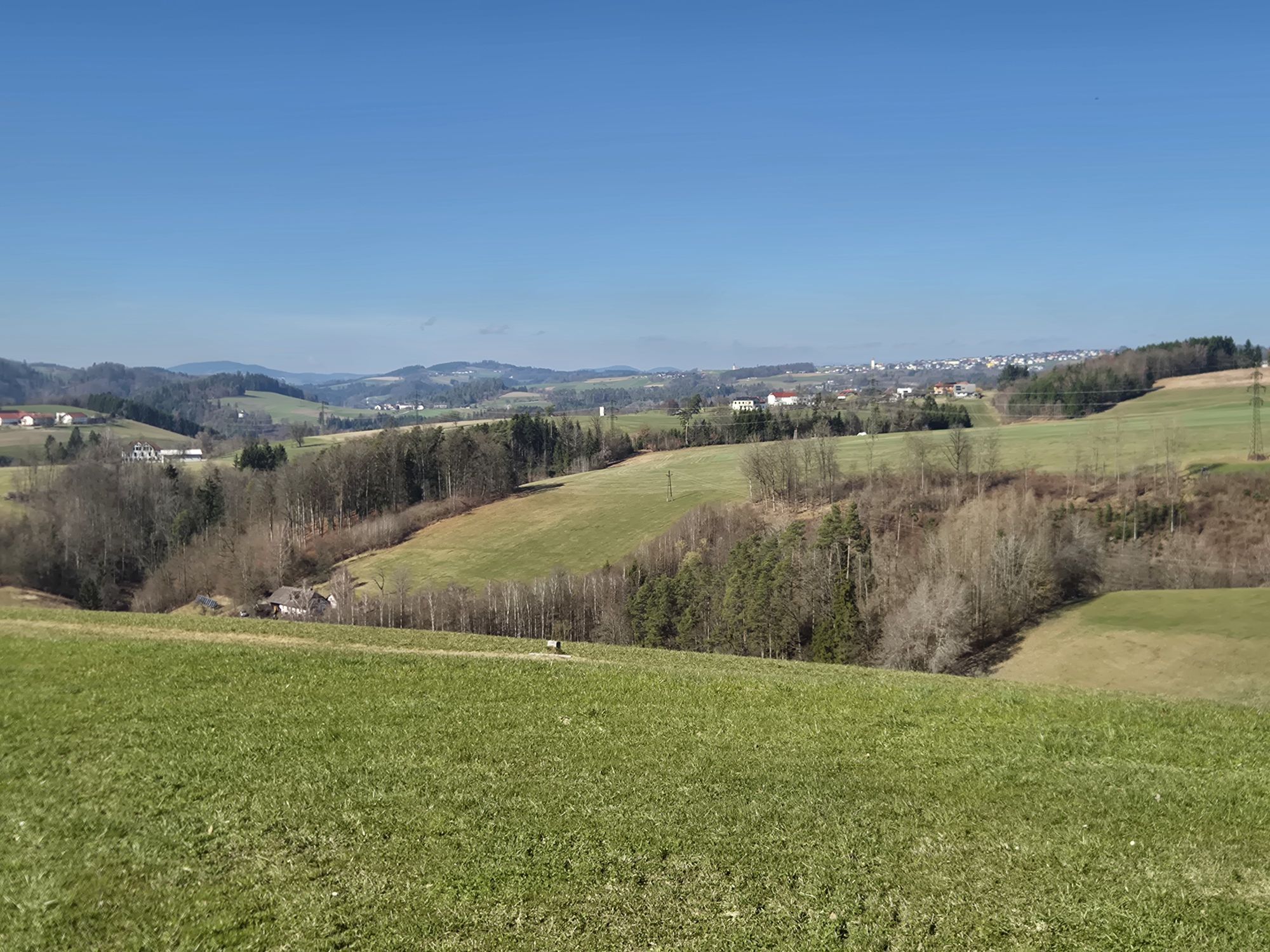
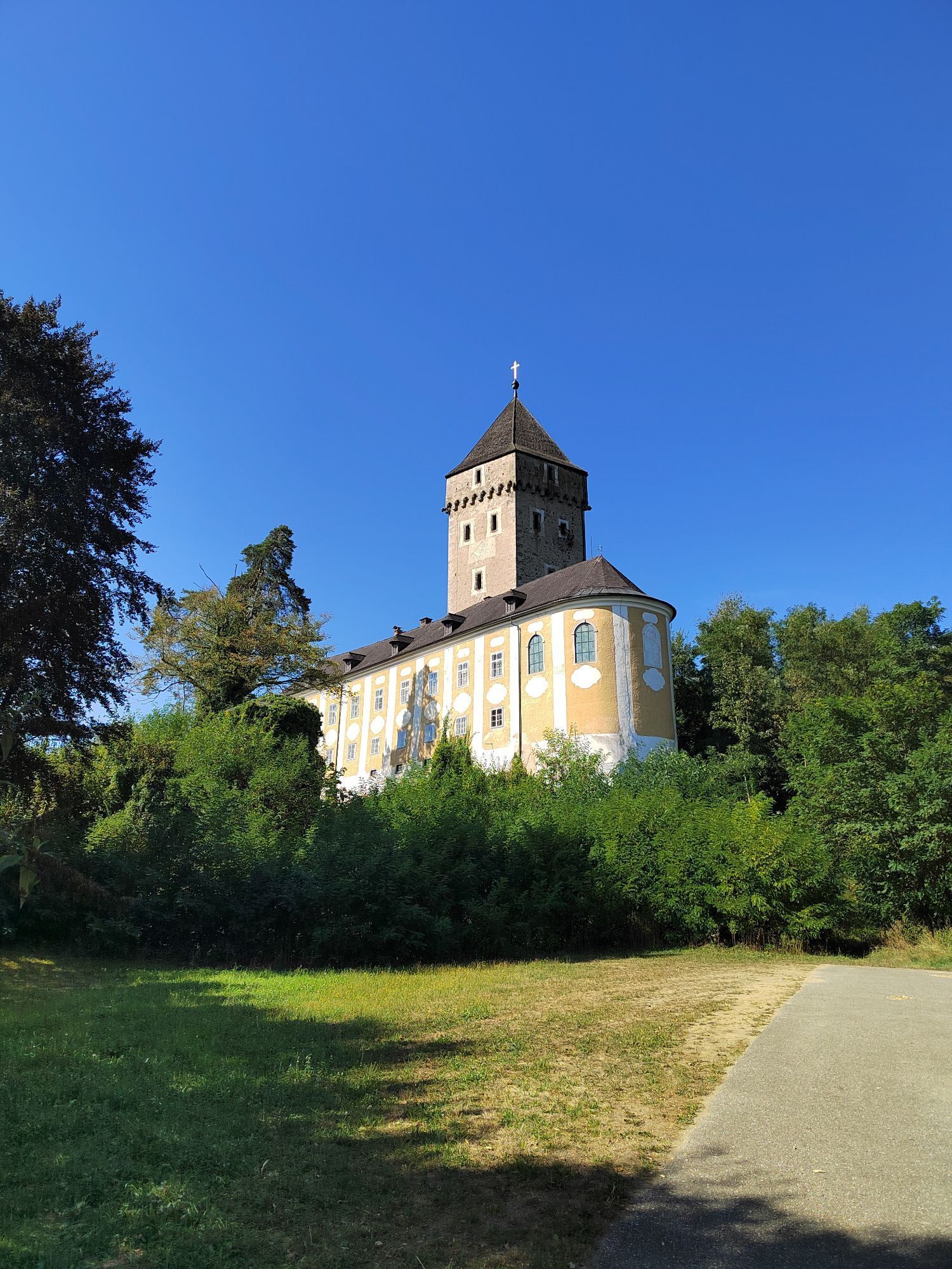
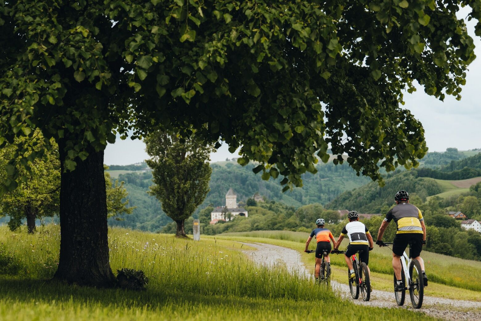
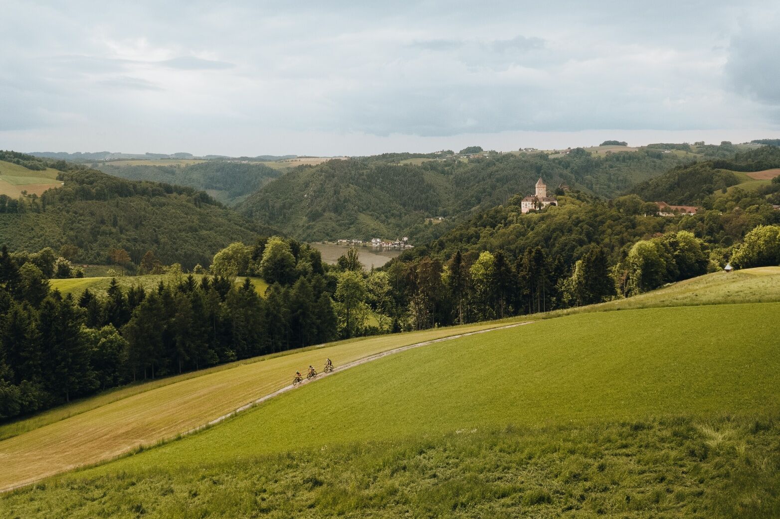
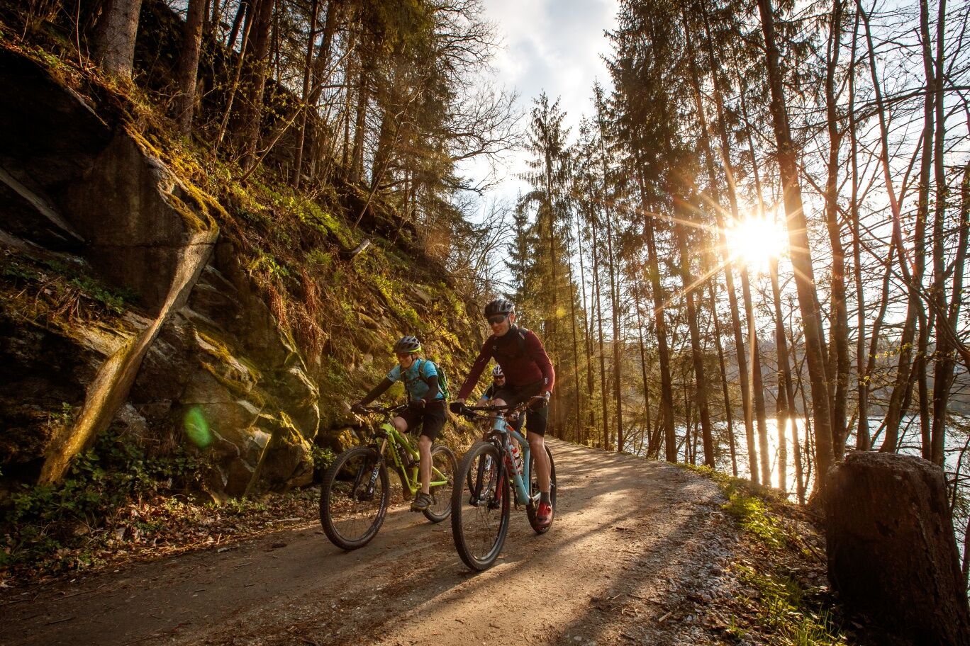
A crisp forest ascent brings you opposite onto the rural panorama high plateau. There begins sublime cultural cycling with a boundless feeling of spaciousness. Through a colorful mosaic of fields – with a short ditch detour – the route goes to Kleinzell im Mühlkreis. There follows a granite bike special treat: a 2.5 km long descent with pleasurable asphalt surfing and short trail sections past hidden granite quarries! The famous Neuhauser granite is extracted here. More can be learned at the Granite Experience World in Plöcking (a 1 km detour required). From the deep forest ravine of the Diesenbach, the route leads – partly hearty – over a rural ridge about 170 meters up to the farming settlement Lanzersdorf 17, the highest point (595 m) of the route here on the high plateau. Congratulations! For regeneration, blissful panorama cruising with breathtaking Alpine views helps. Slightly undulating, you pass the Hofstetten Brewery, Austria’s oldest brewery, then descend to St. Martin im Mühlkreis. The village’s special significance only becomes clear with knowledge of its history: a base on the salt route to Bohemia! Tip: Neuhauser granite (art) can be seen in the parish church – the artistic net vault – and the delicious granite beer of the region tells of a long supply tradition. Now the return to the deep Danube valley begins. A fast descent leads down into the hidden Dreißenbach ravine, where a short but crisp meadow-forest trail ascent surprises. Afterwards, a panorama ridge with a legendary view of the Danube valley fascinates. A highlight! A short pleasure ascent and you quickly cross the last ravine to the magnificent (private) Neuhaus Castle. Here, the Neuhauser granite was once transferred from the field railway from the granite quarries to the cable car down to the Danube. Then you plunge back into the rustic gorge forest of the Danube narrow valley and zip down to the Danube harbor town Untermühl, the loading harbor of the Neuhauser granite. Granite biking – experience the fascination of the granite highland!


Popularne wycieczki w okolicy
-
4,0
Kerzensteinwanderung im "Naturschutzgebiet Pesenbachtal"
średniWędrówka 4,16 km -
4,5
Haibach: CICONIA circular route
średniWędrówka 11,2 km -
4,7
Hofkirchen: Waterfall round
średniWędrówka 8,43 km -
4,4
Michlweg
średniWędrówka 11,2 km -
4,8
Wilson Holz Pesenbach Round Trail
światłoWędrówka 7,53 km -
3,8
Großer Hopfensteig
średniWędrówka 12,8 km -
4,0
R1.05 Sauwald Panorama Route
średniJazda na rowerze 57,8 km -
4,8
R1.04 Donauschlingen round
średniJazda na rowerze 45,6 km -
4,5
Schlögen - Hauskapelle Hotel Donauschlinge - Schlögener Blick
światłoWędrówka 1,48 km -
4,8
Burgruine Stauf
Wędrówka 4,67 km
Wędrówki i tropienie


Nie przegap ofert i inspiracji na następne wakacje
Twój adres e-mail została dodana do listy mailingowej.





