






S408 Goiserer Hoisnrad Round
Poziom trudności: S1
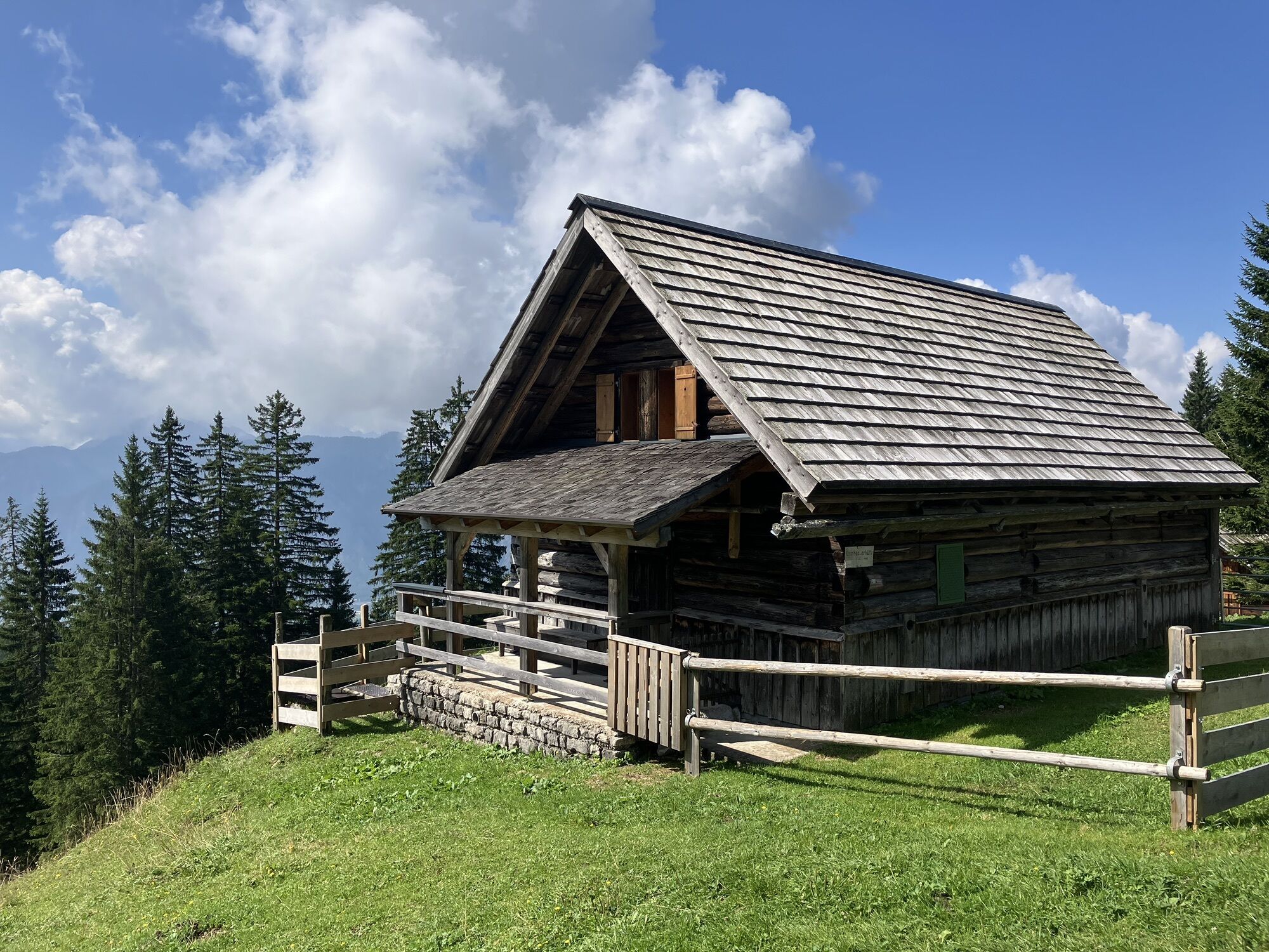
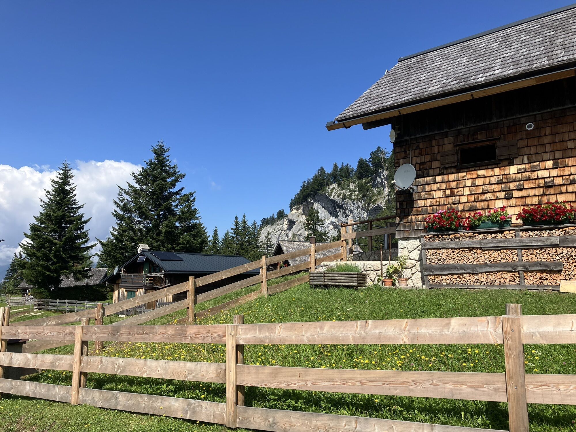
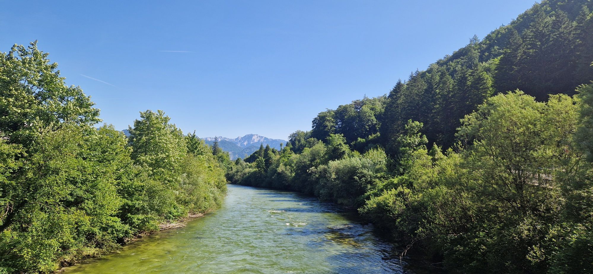
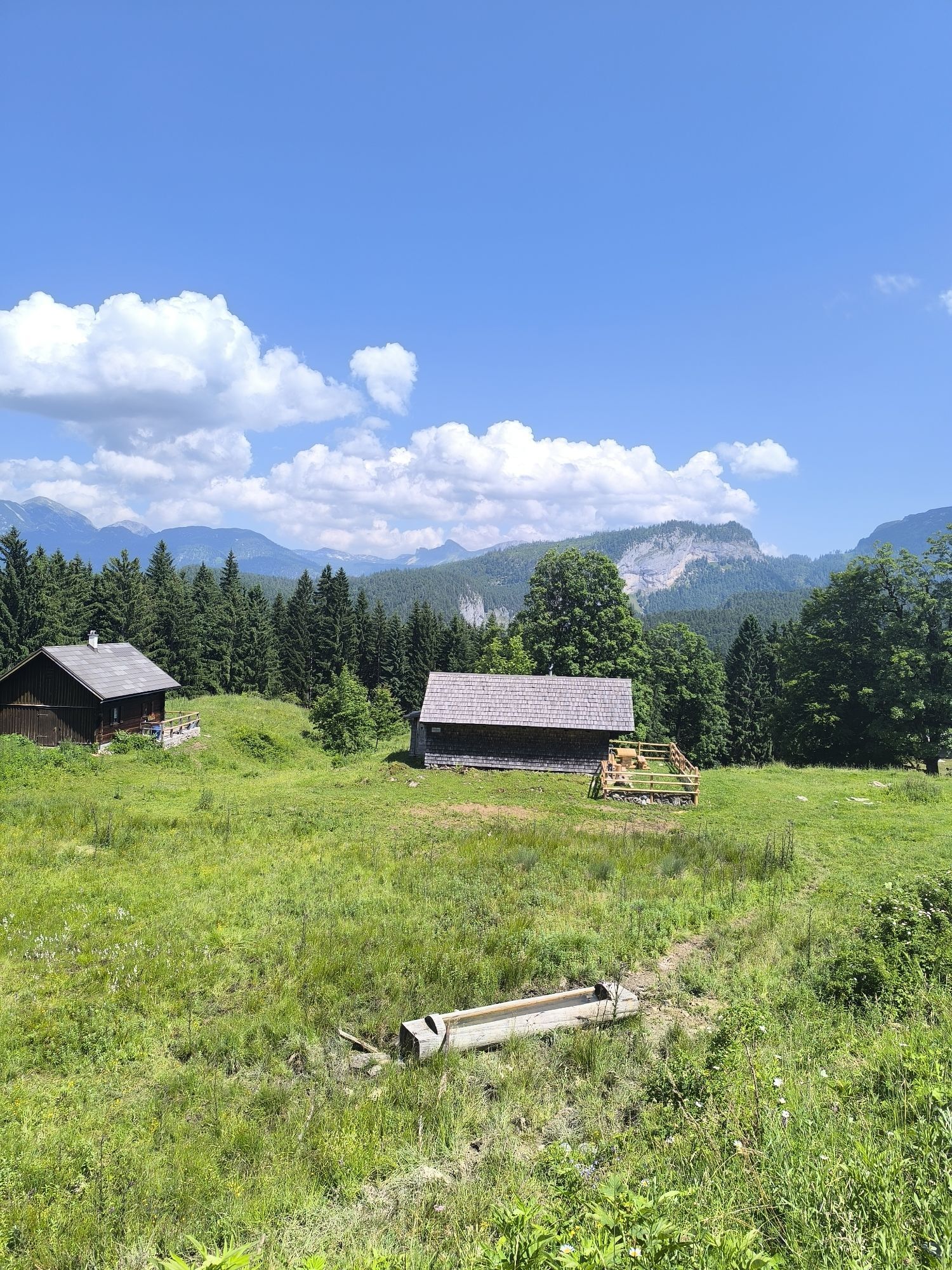
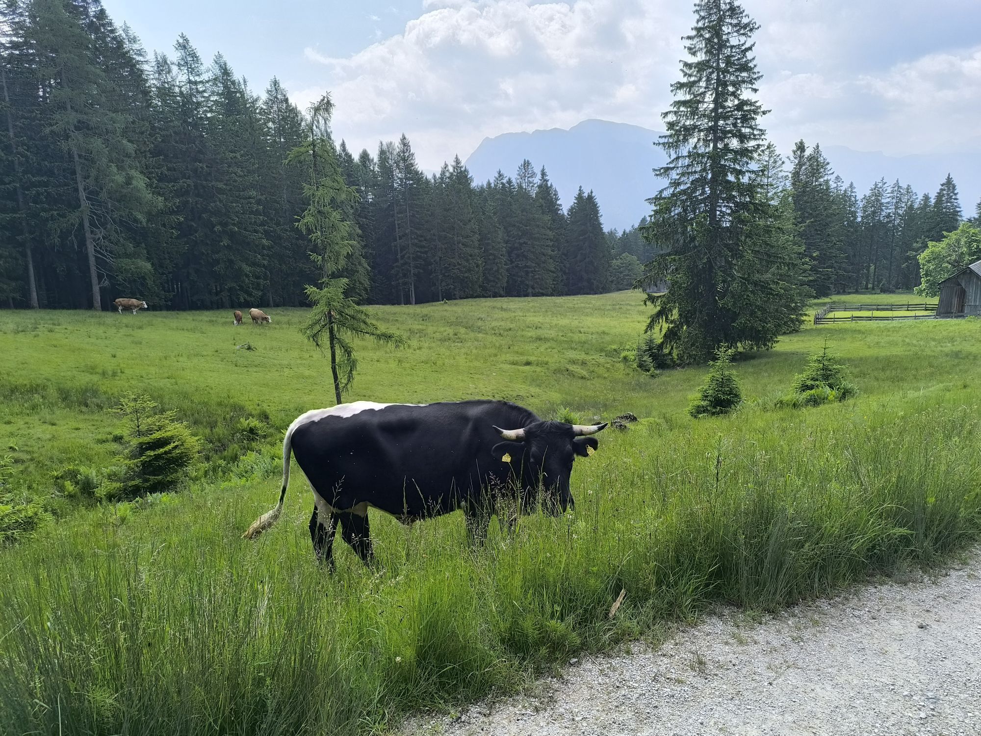
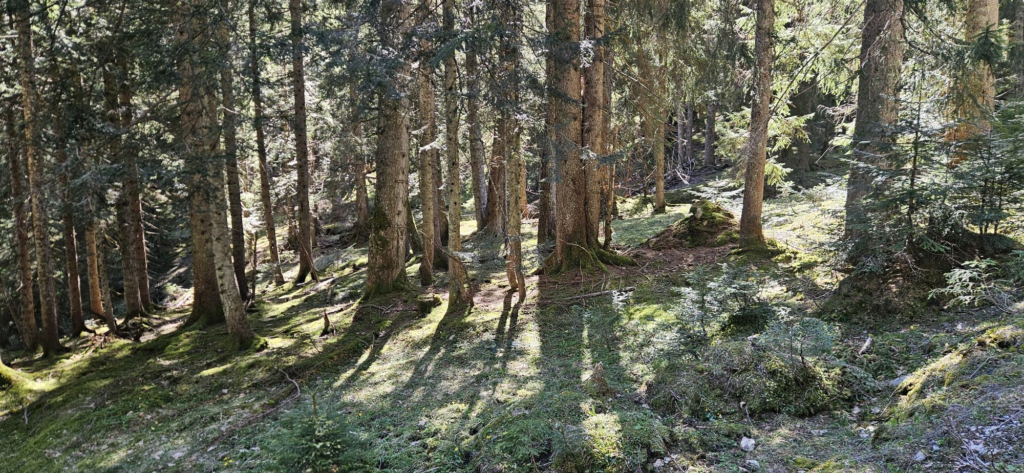
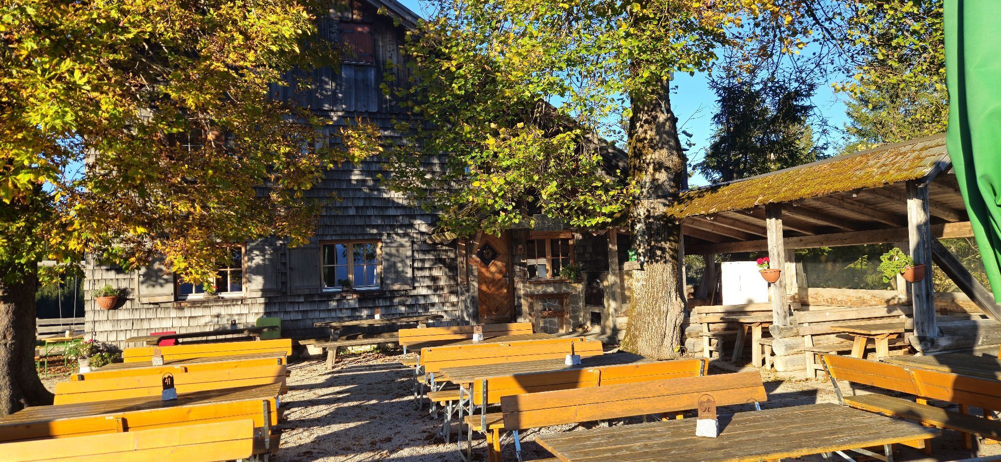
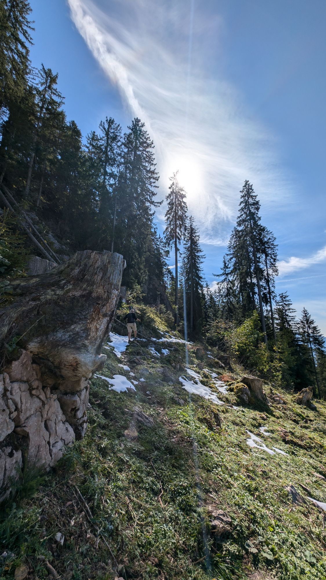
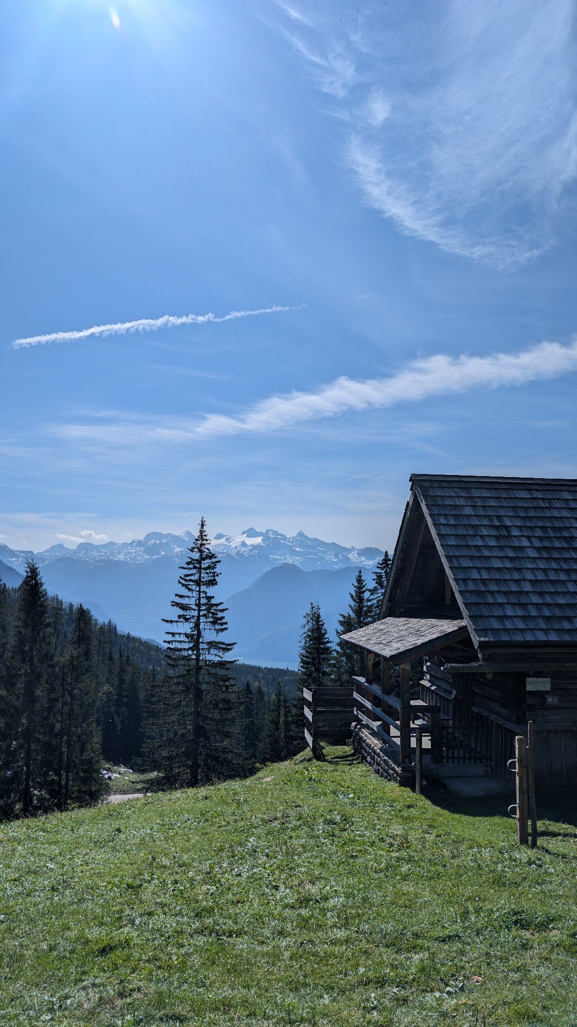
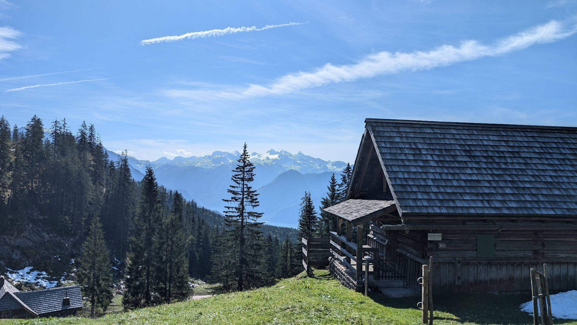


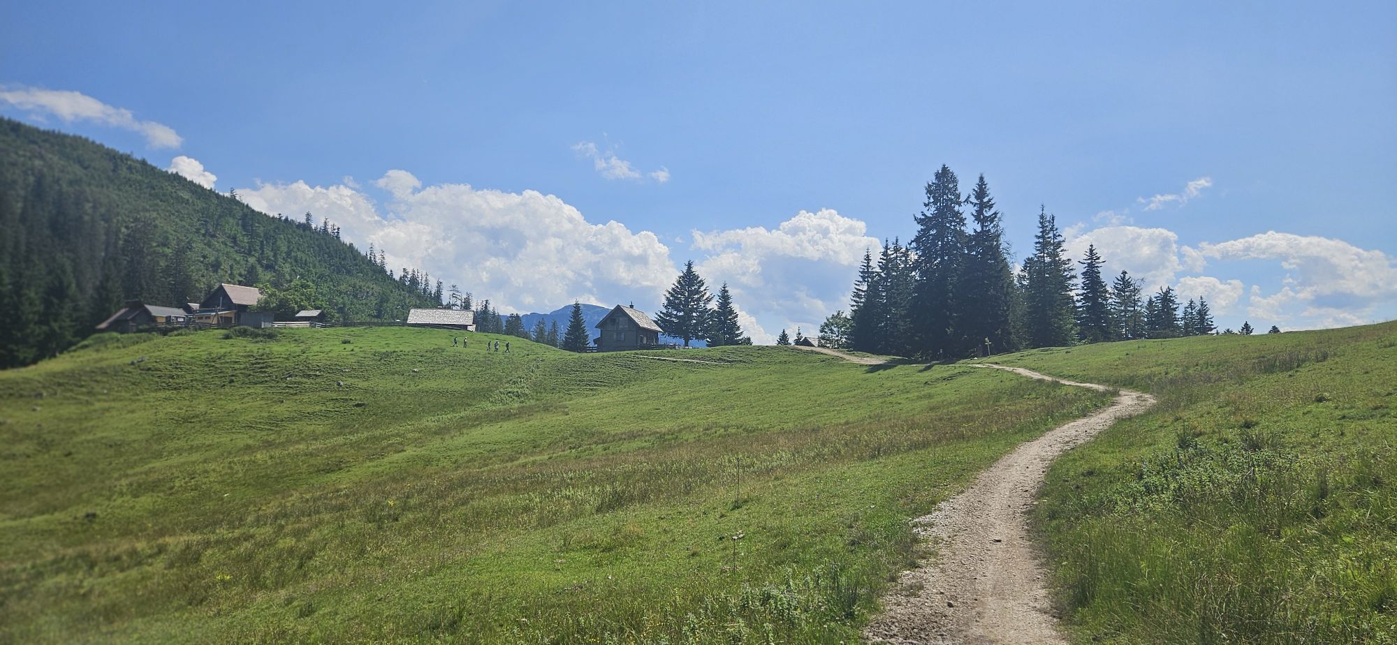
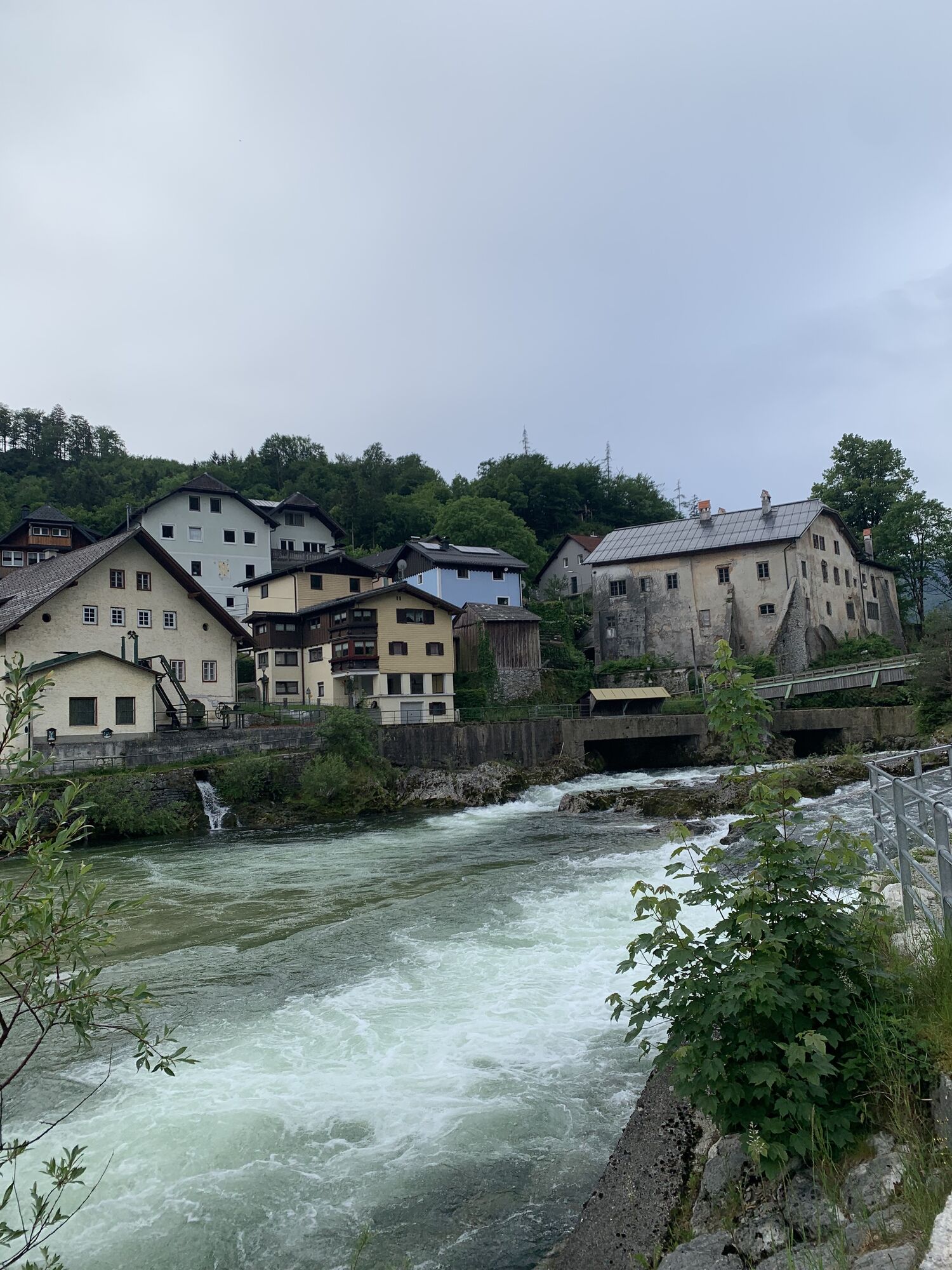
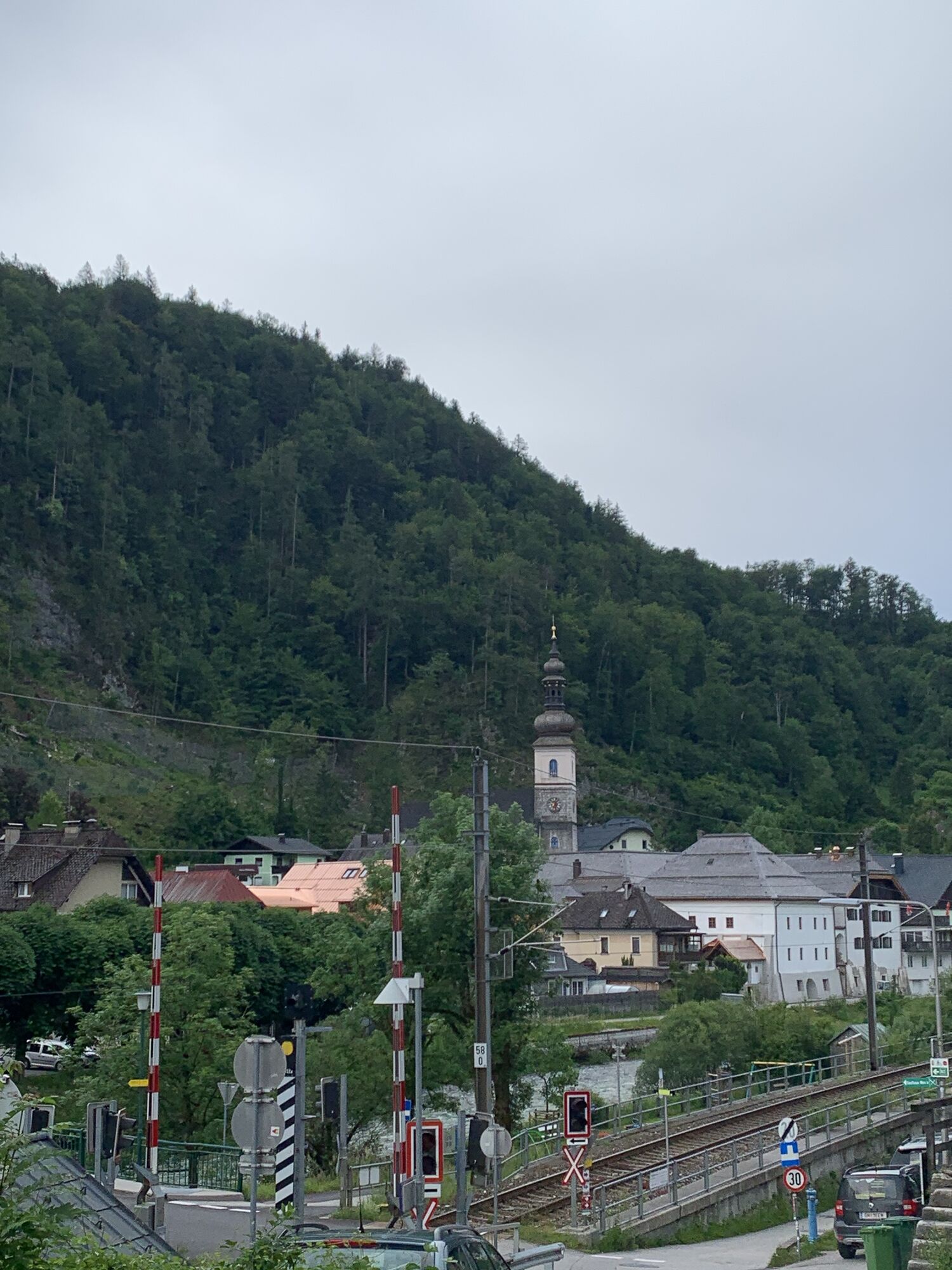

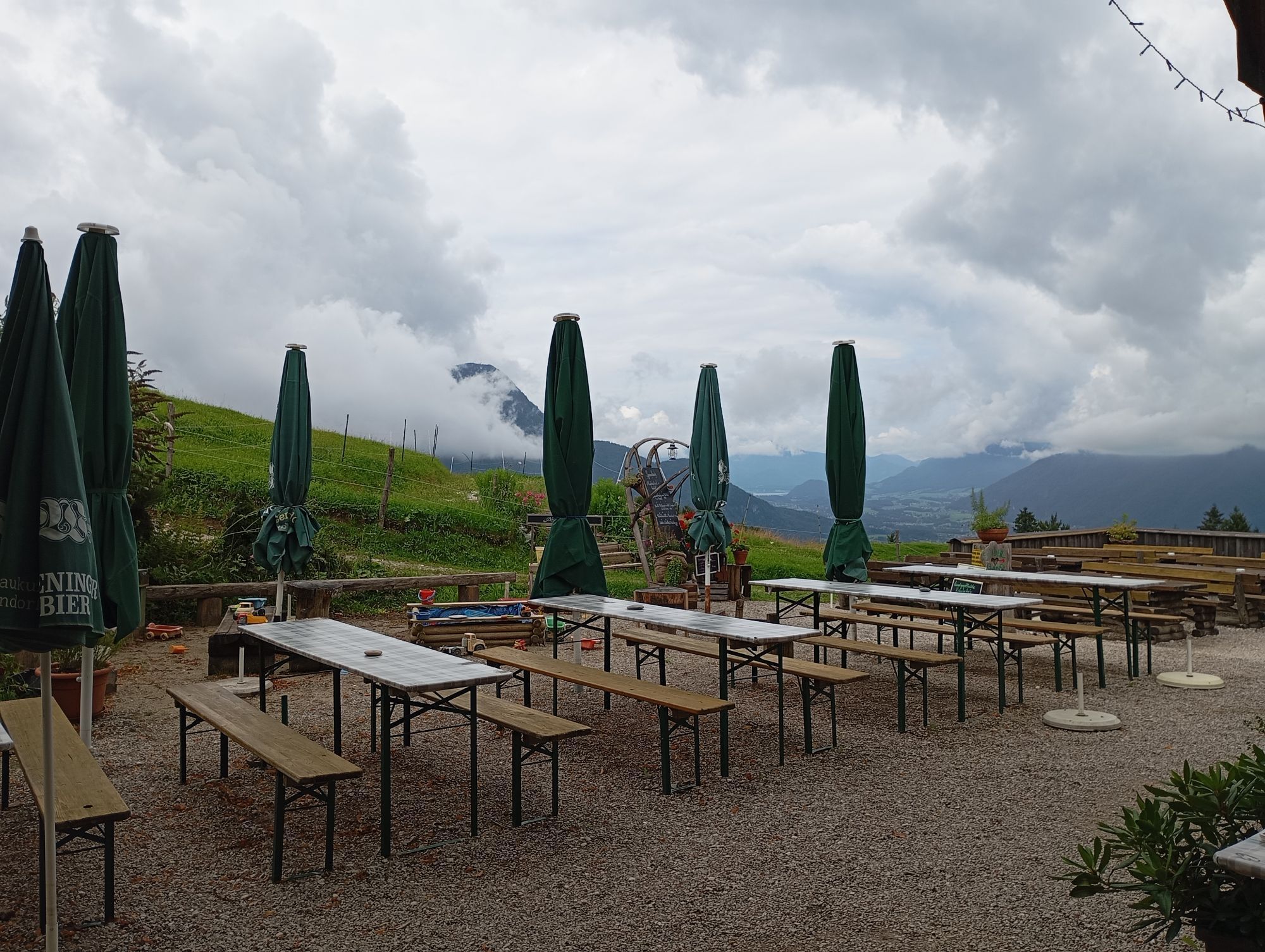
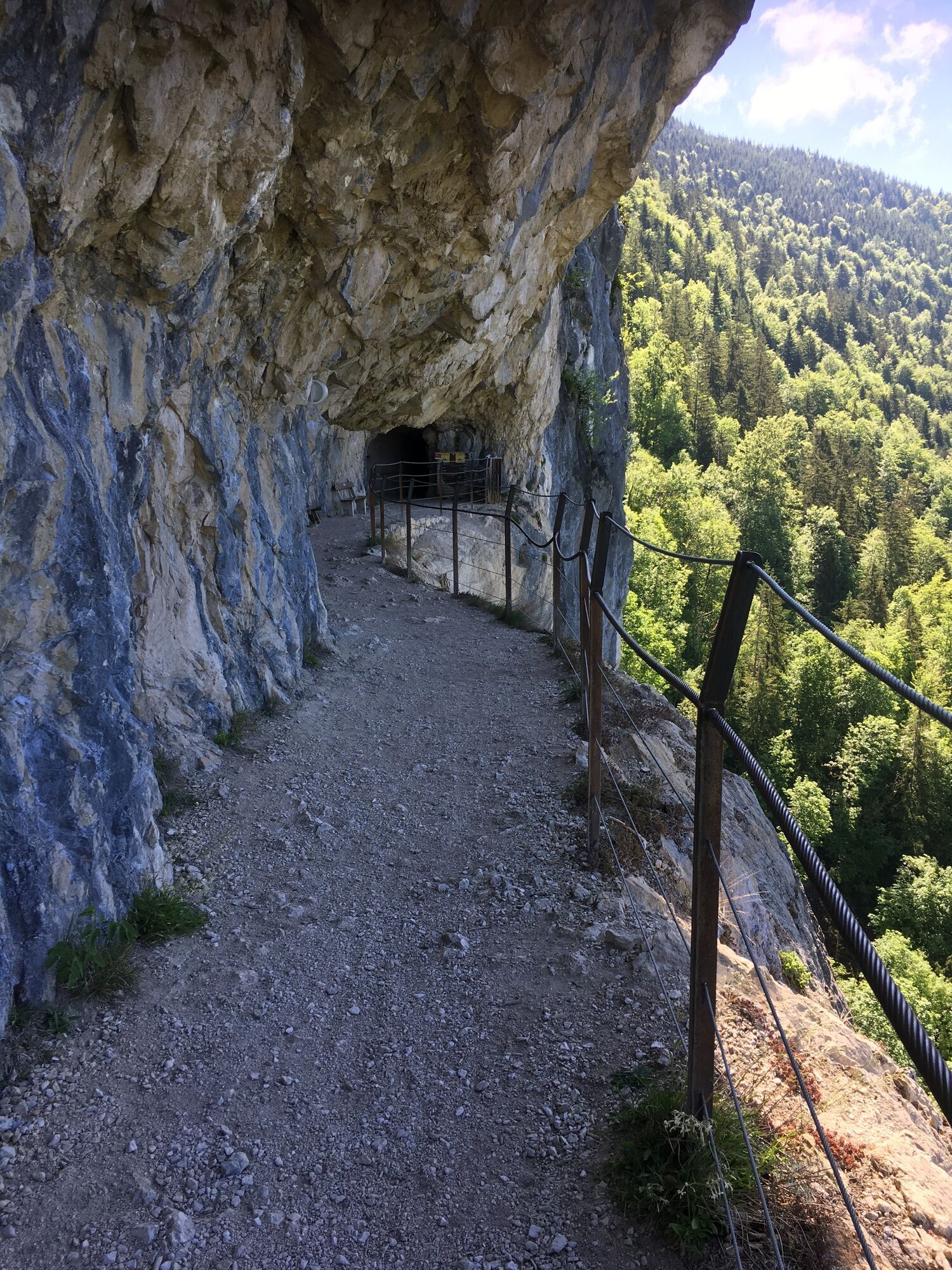
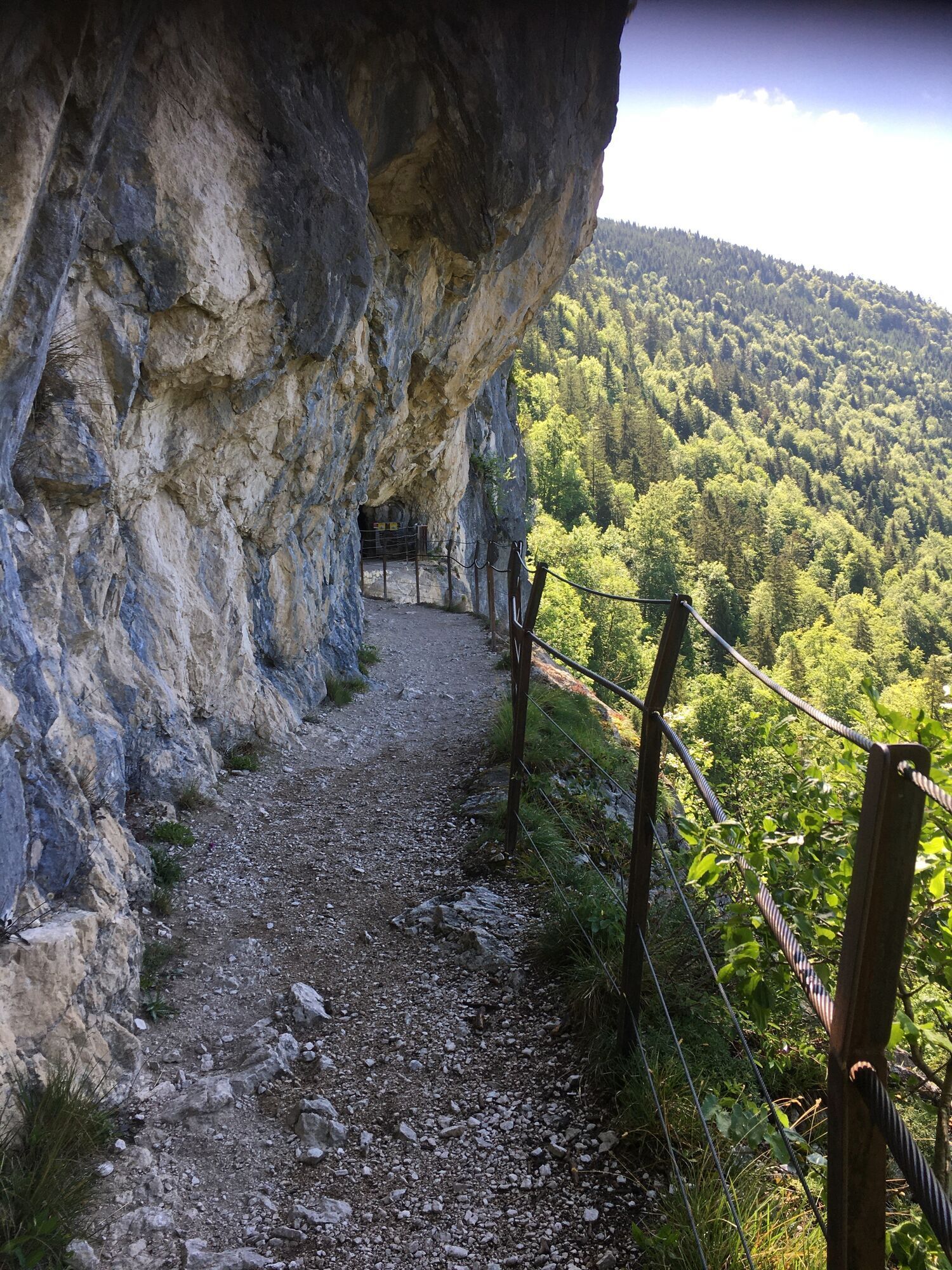
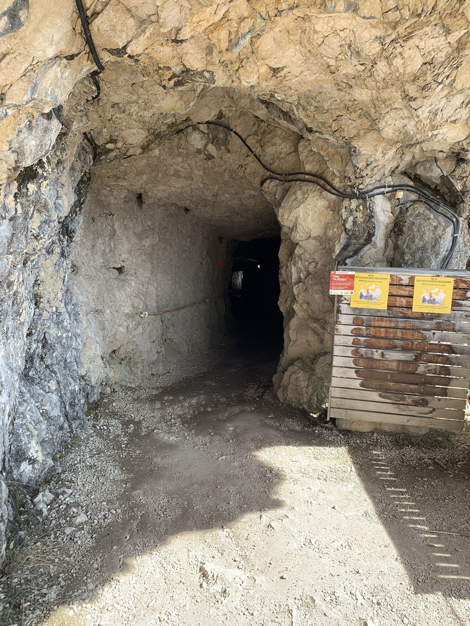
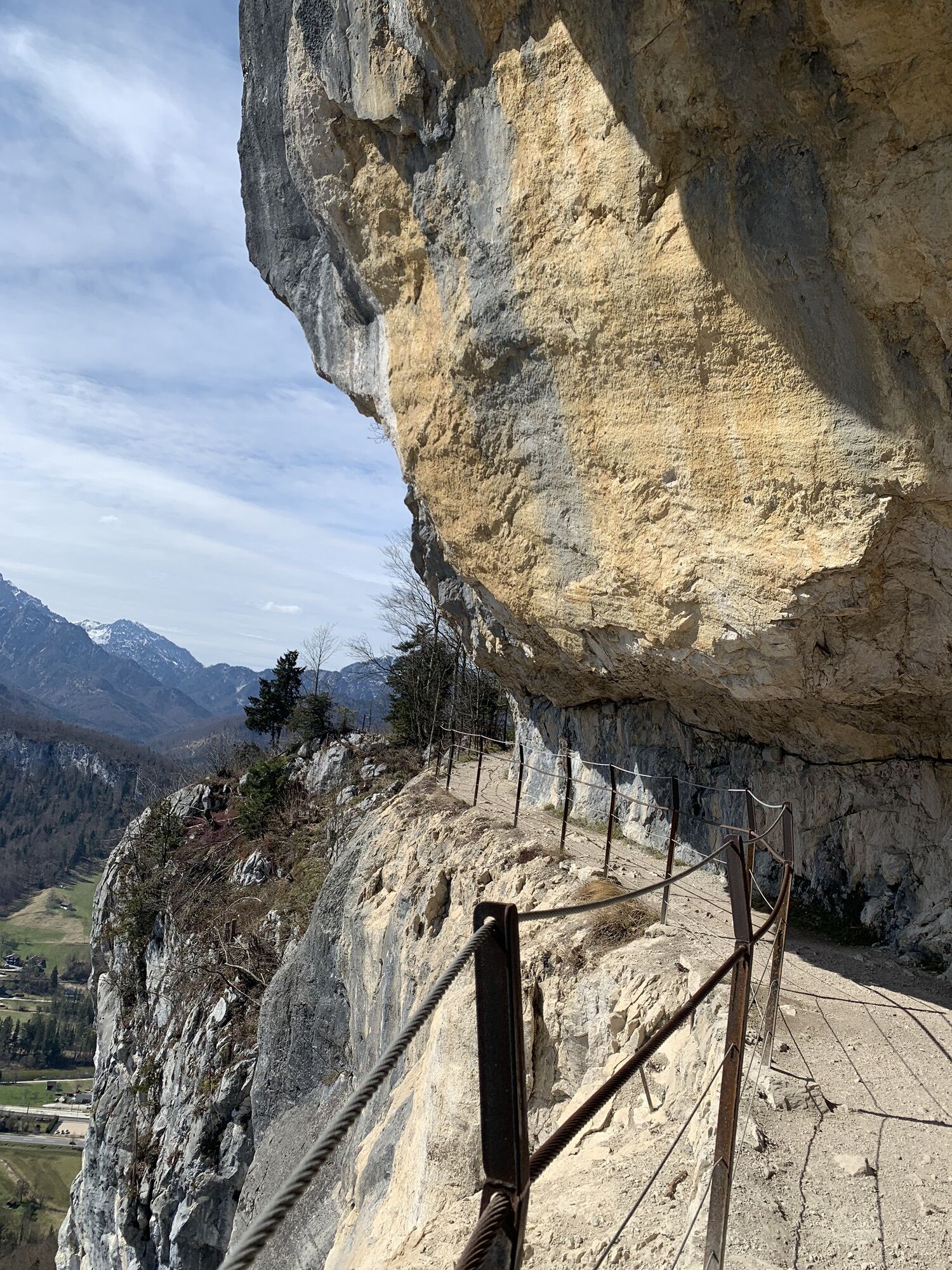
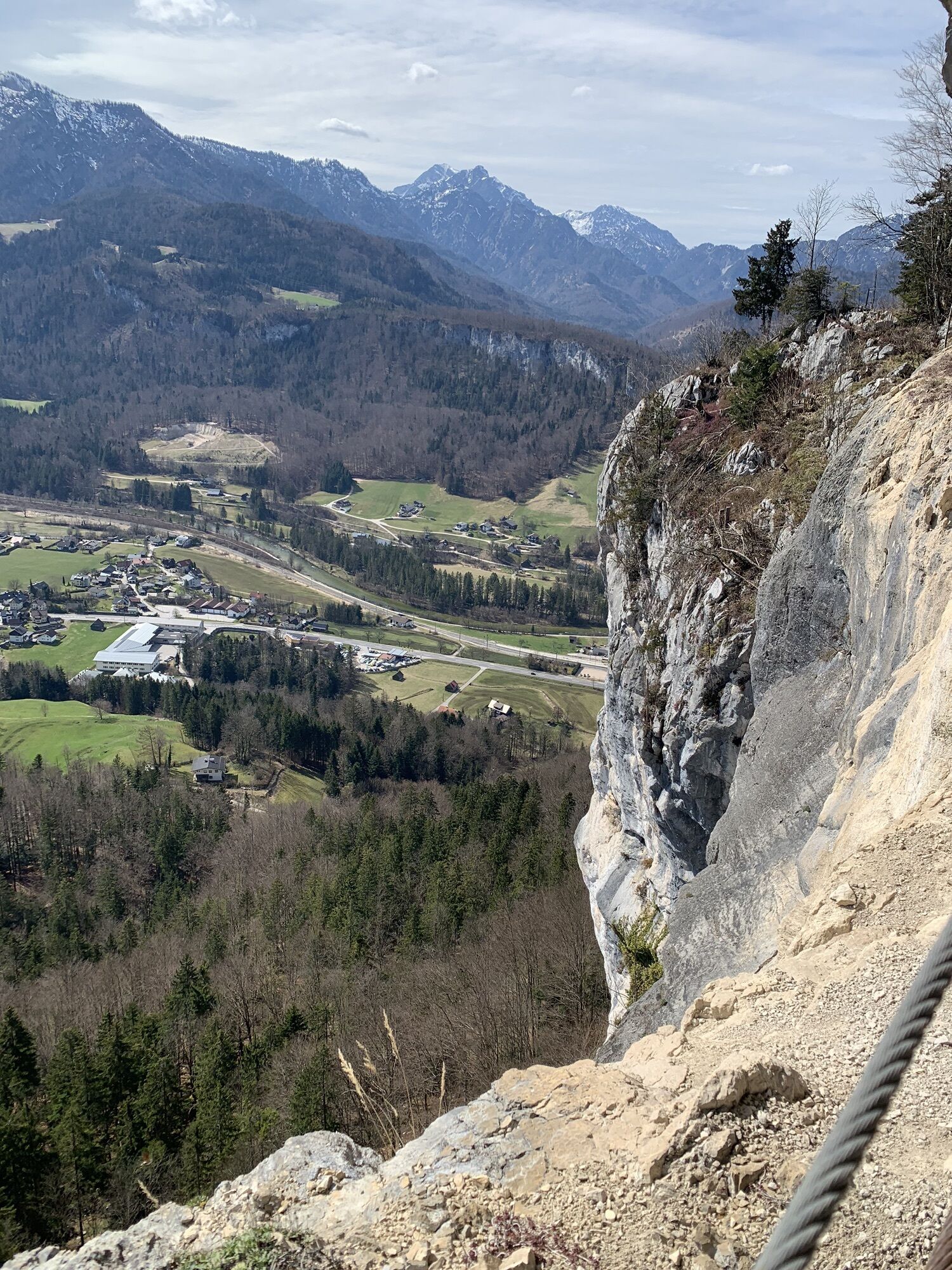
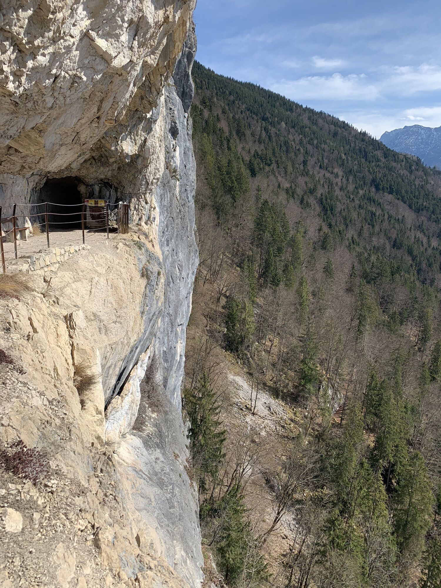
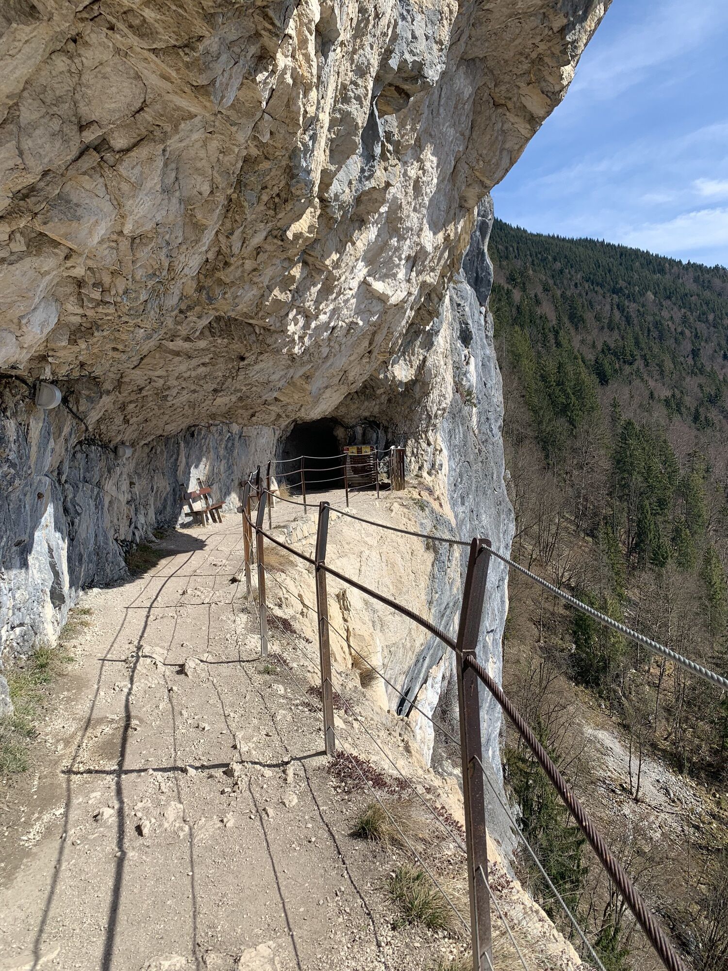
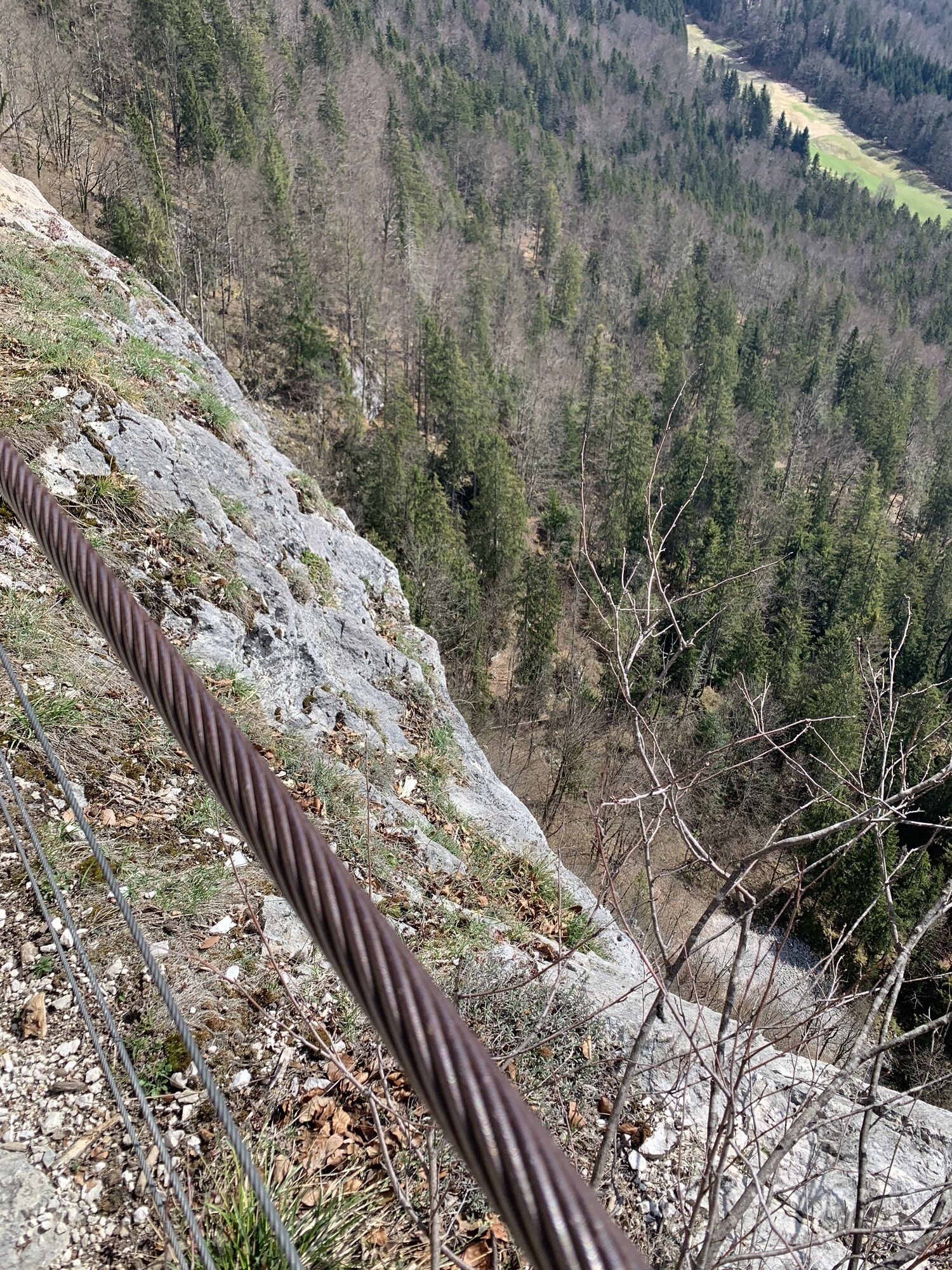
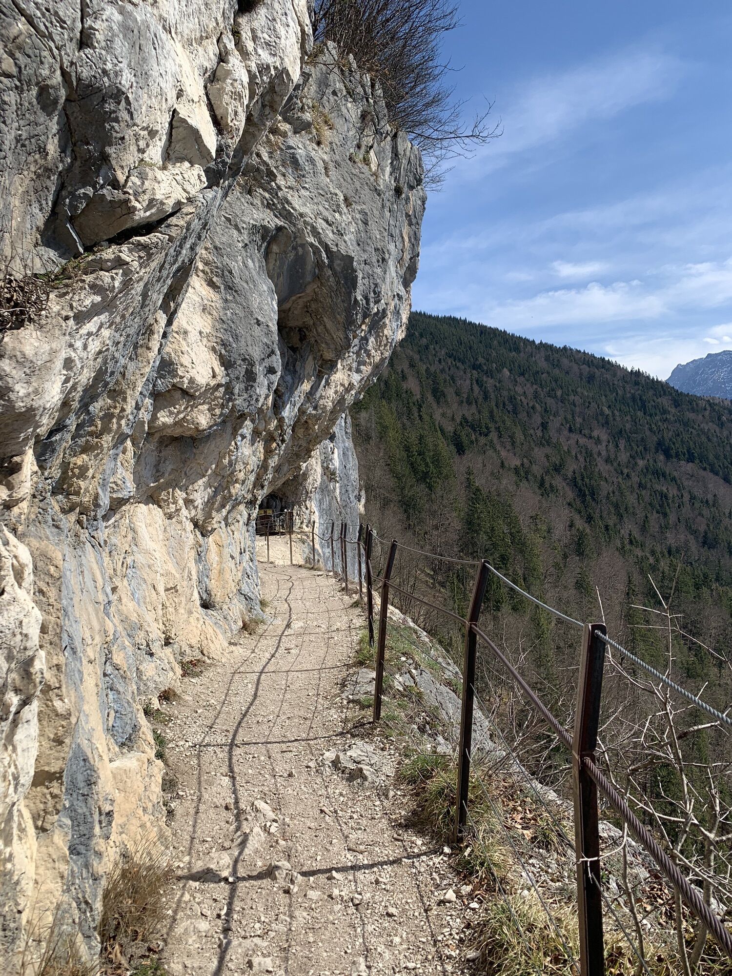
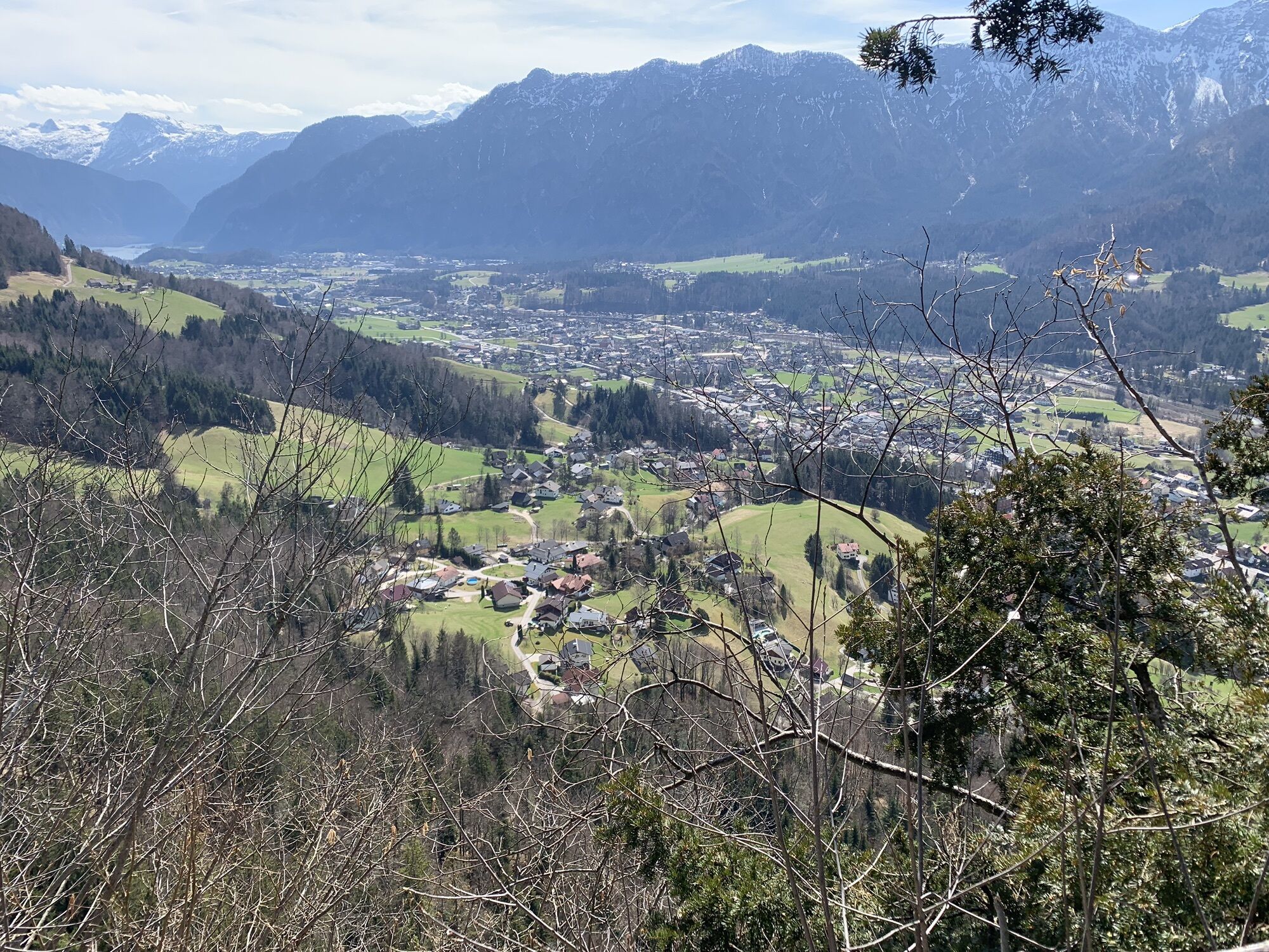
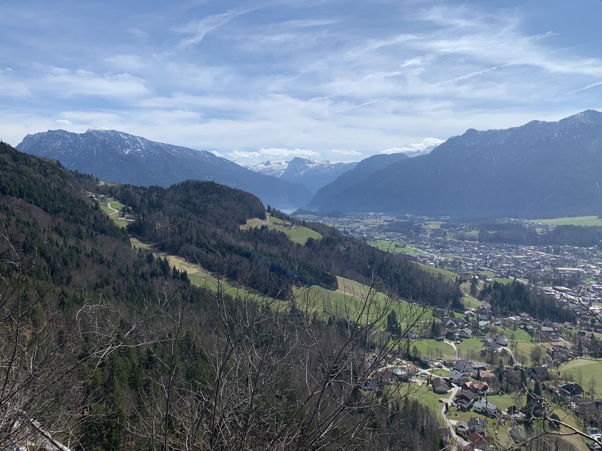
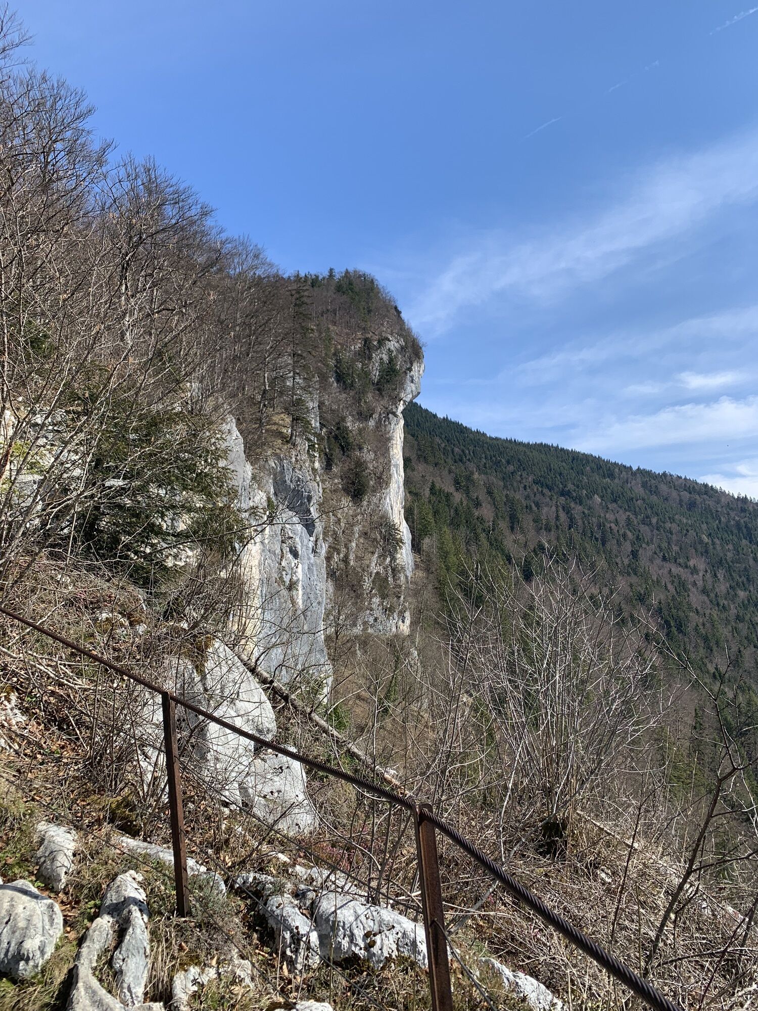
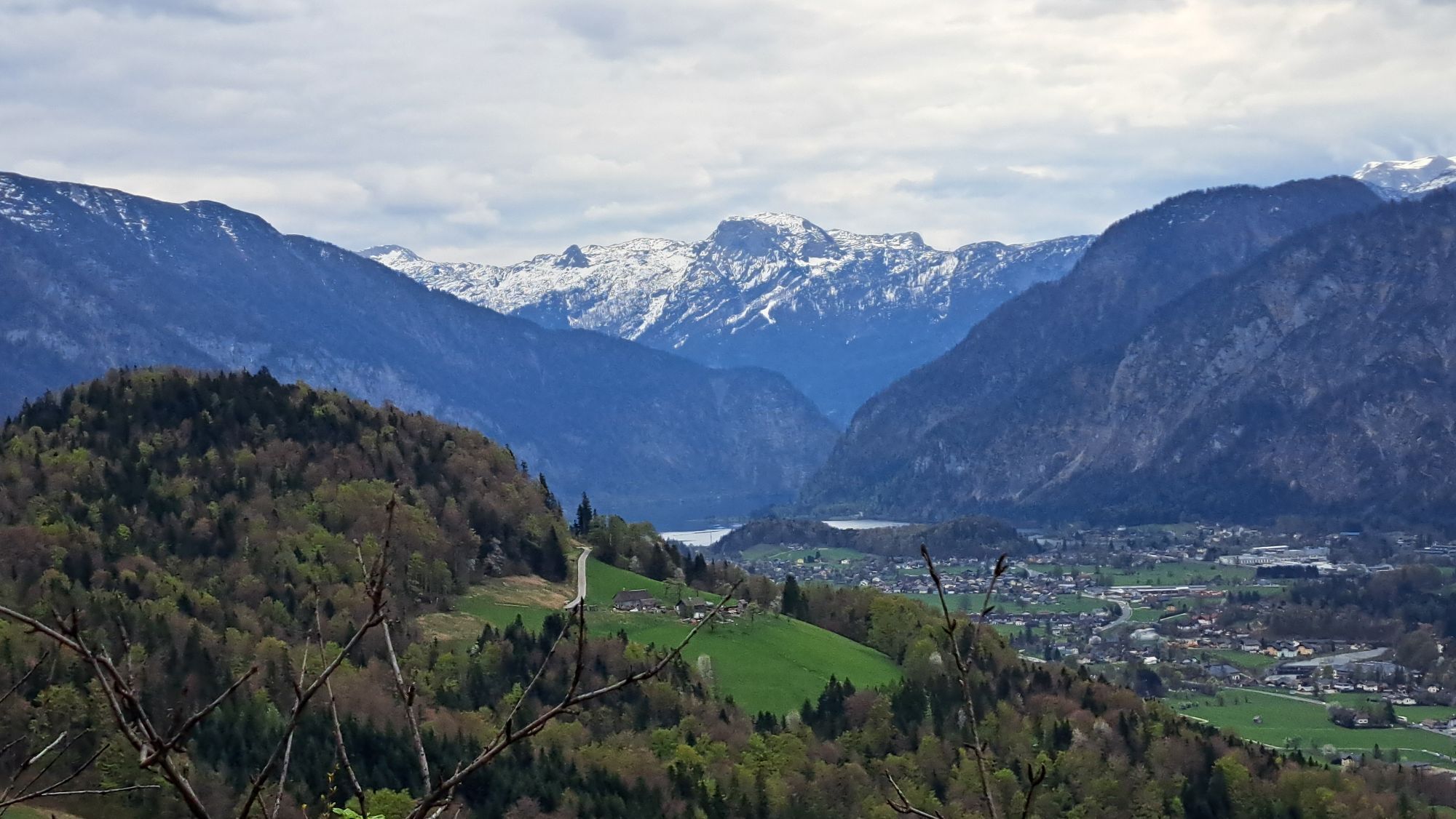
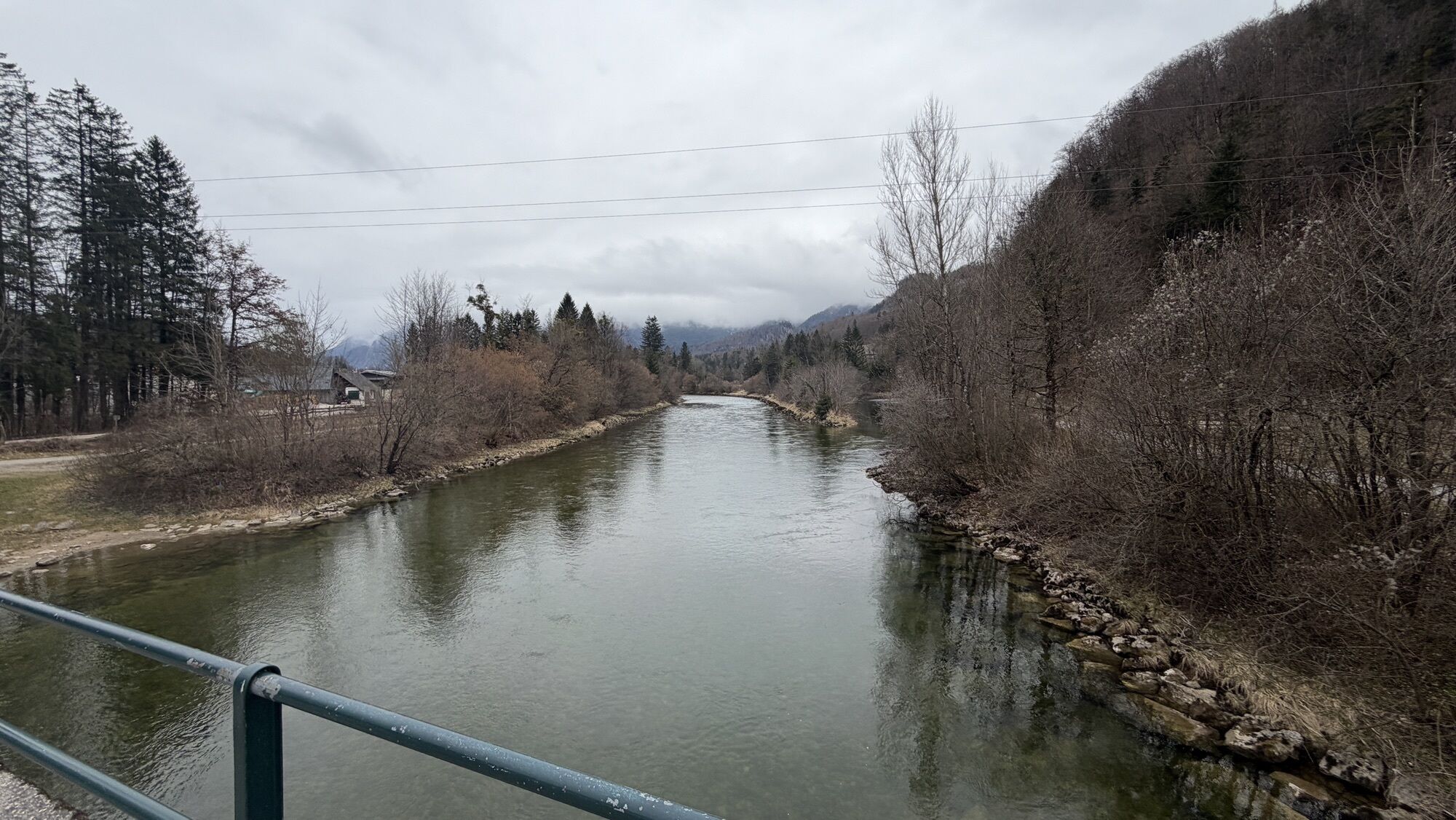
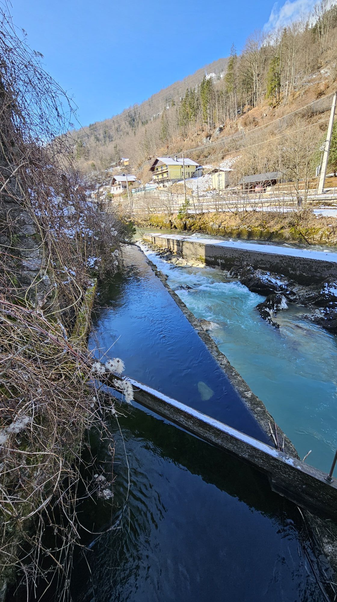
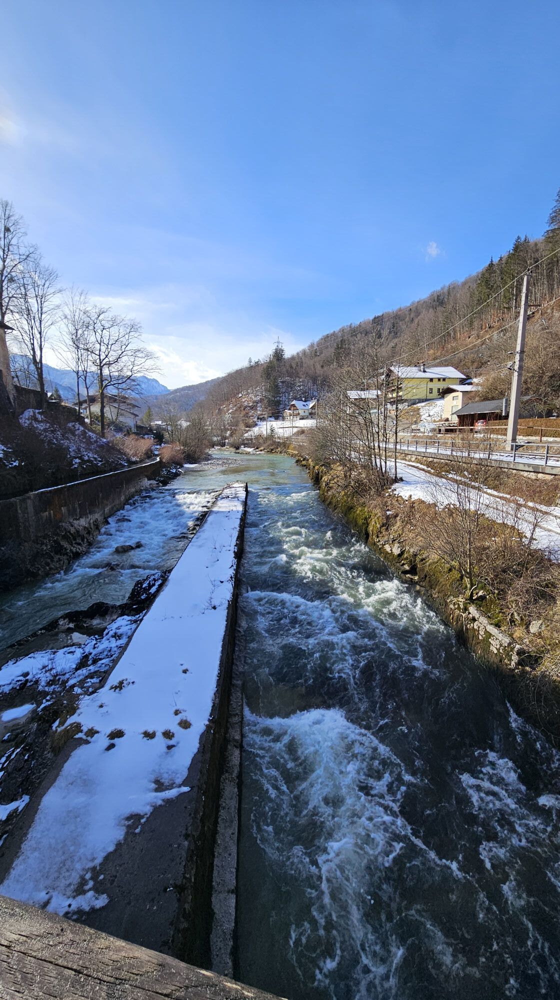
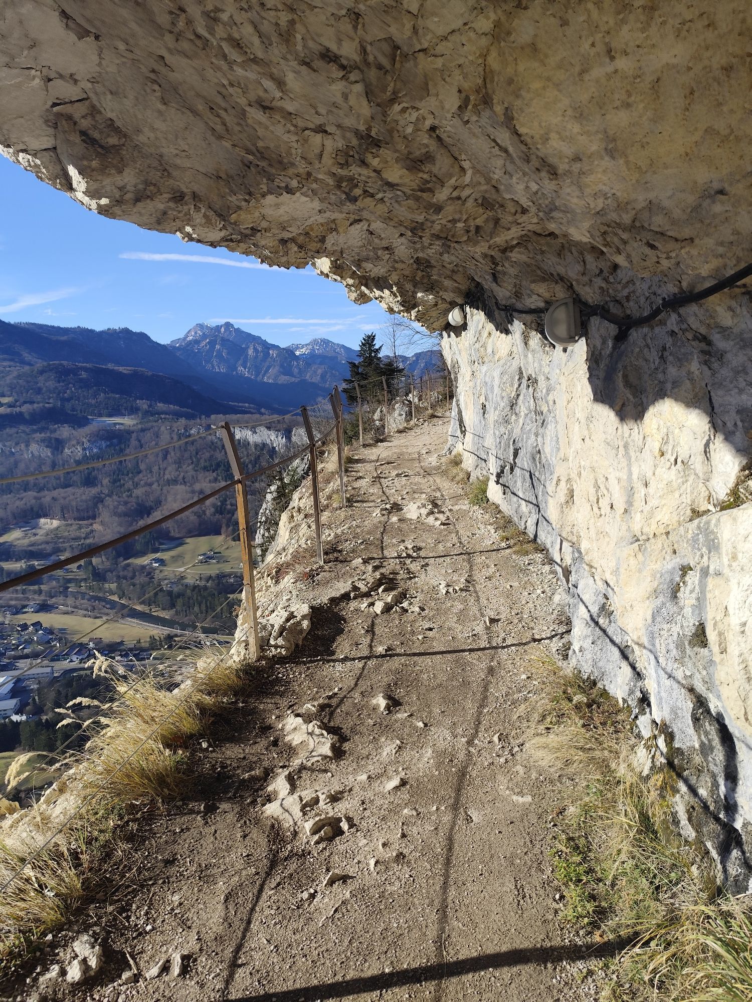
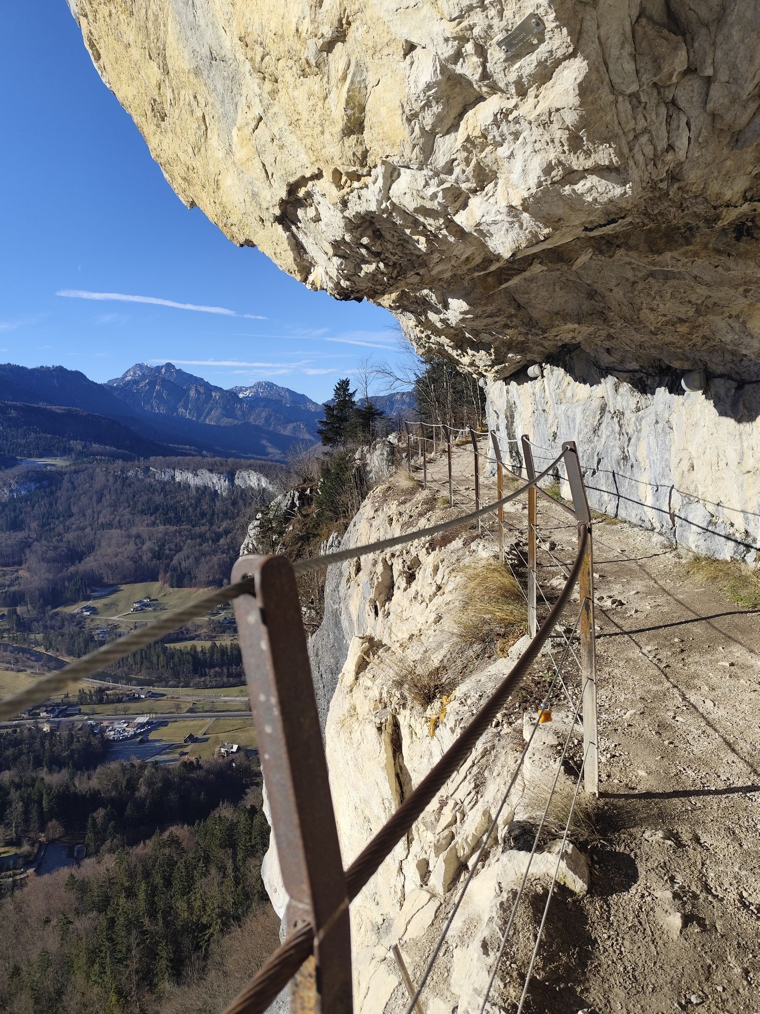
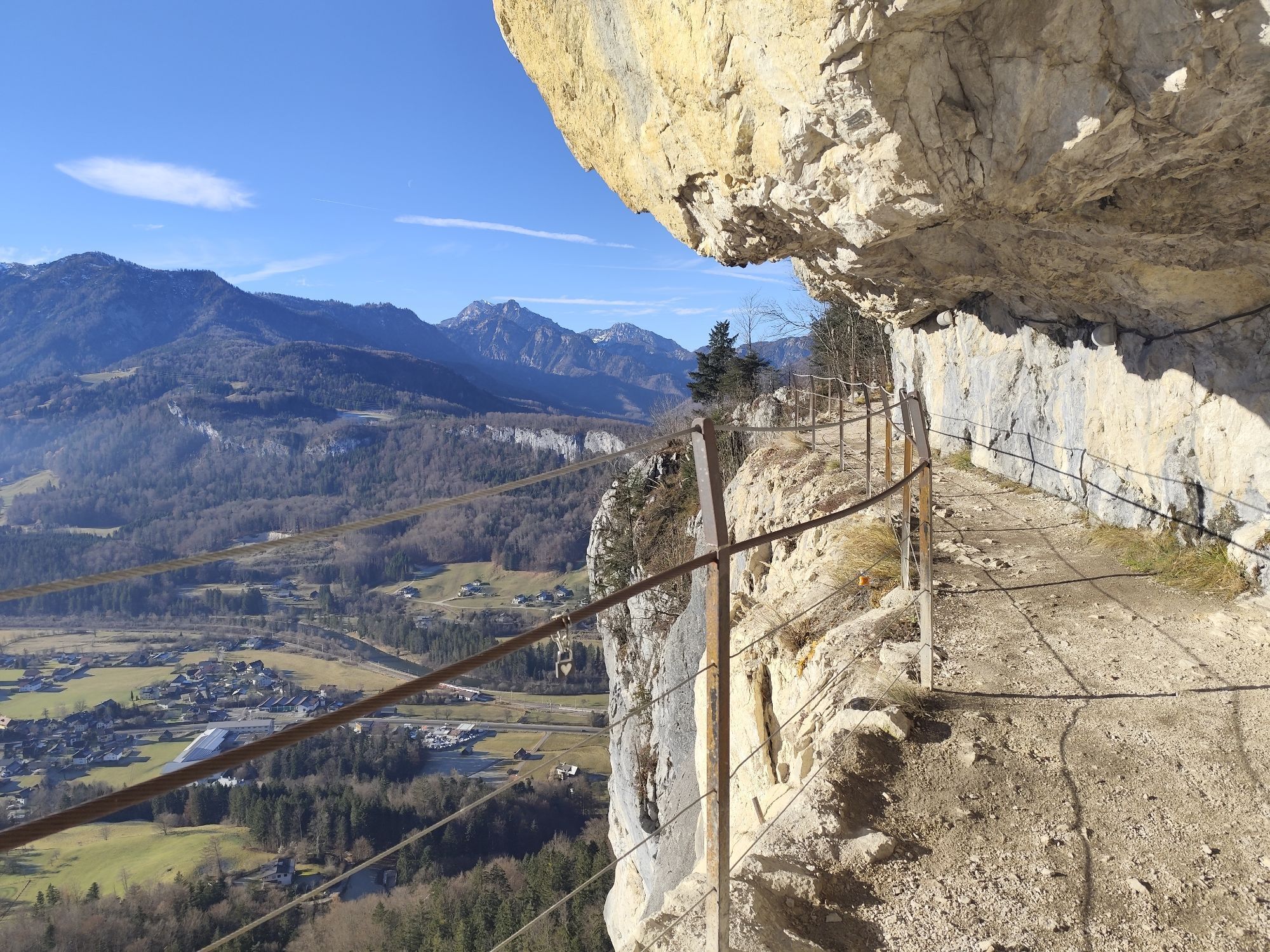
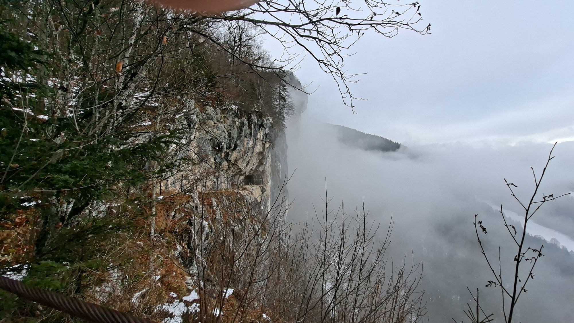
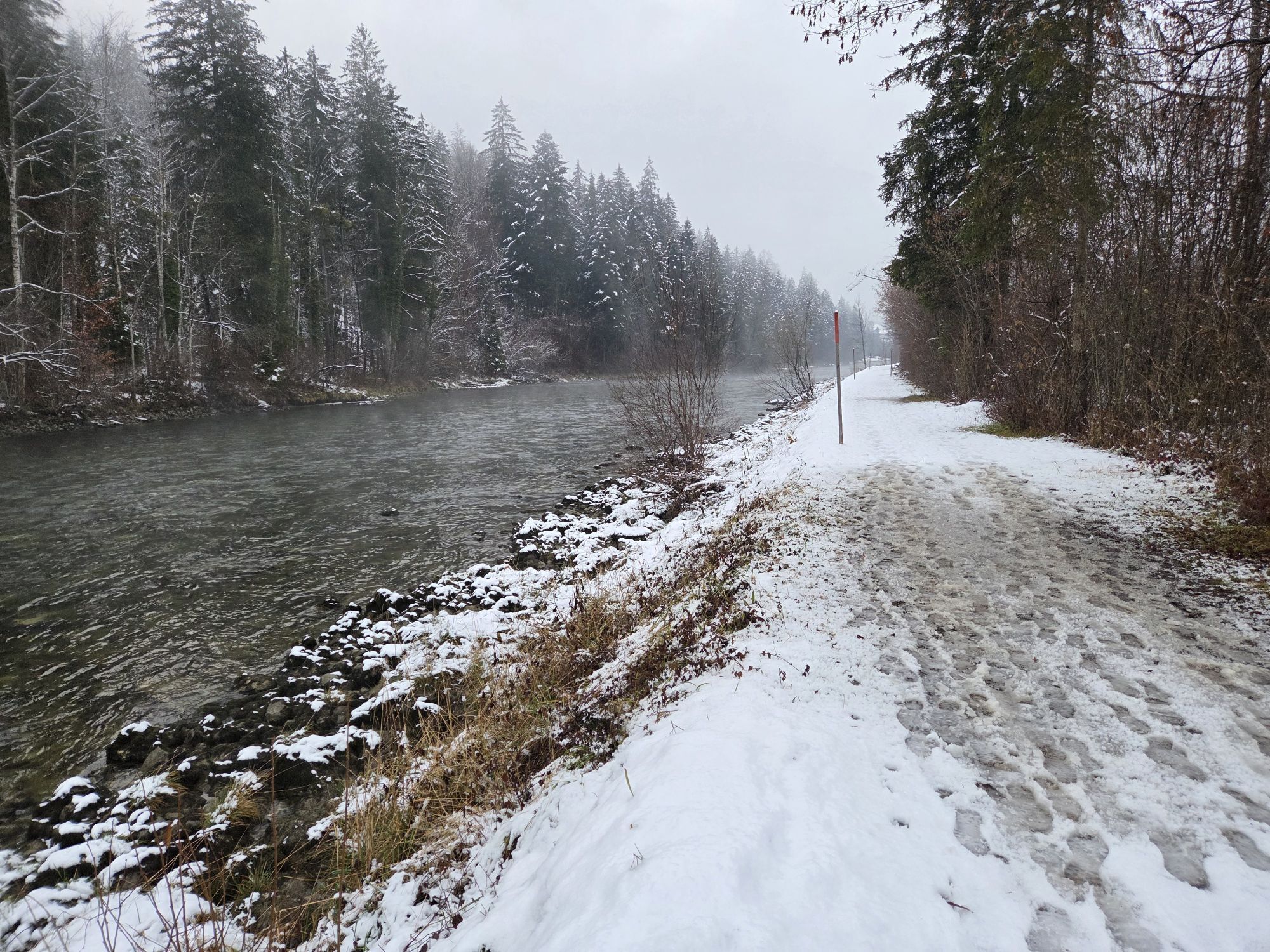
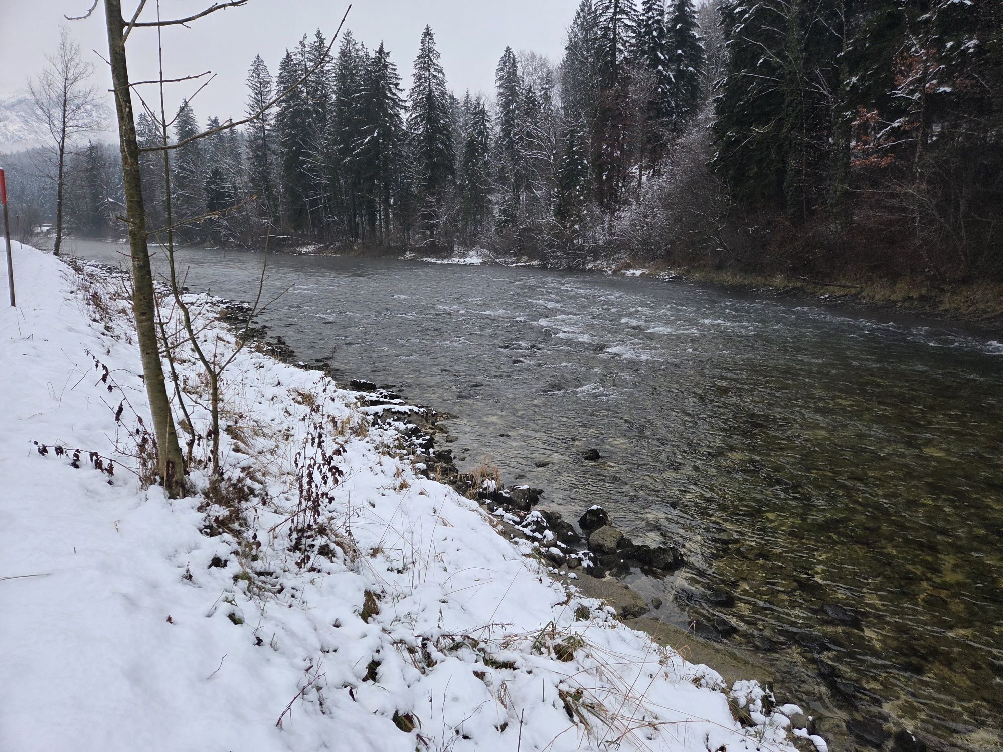
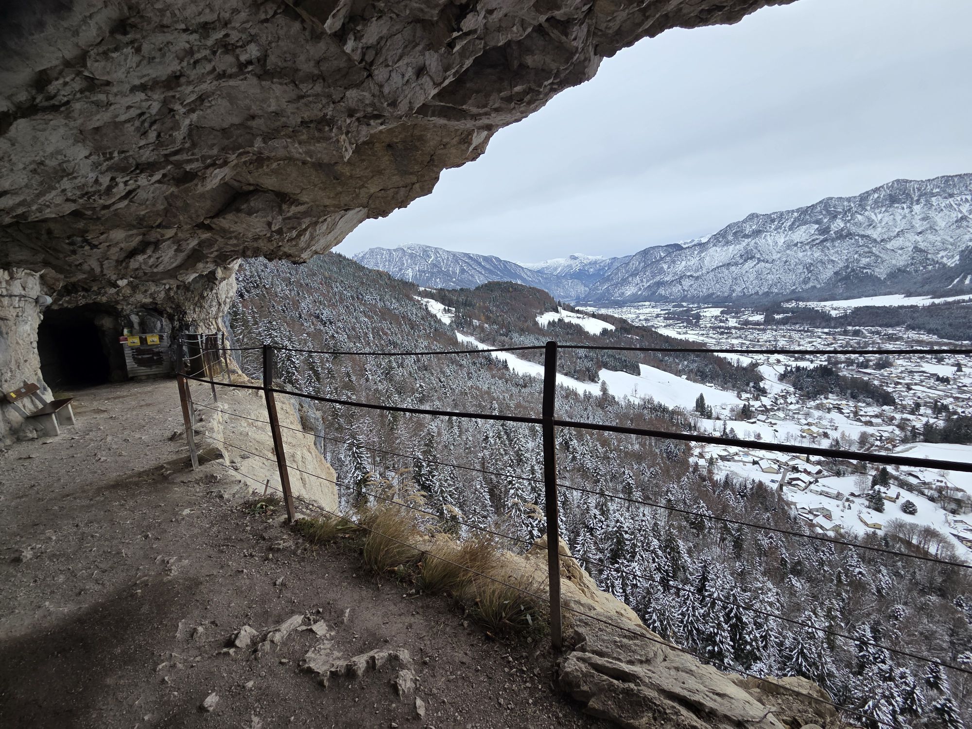
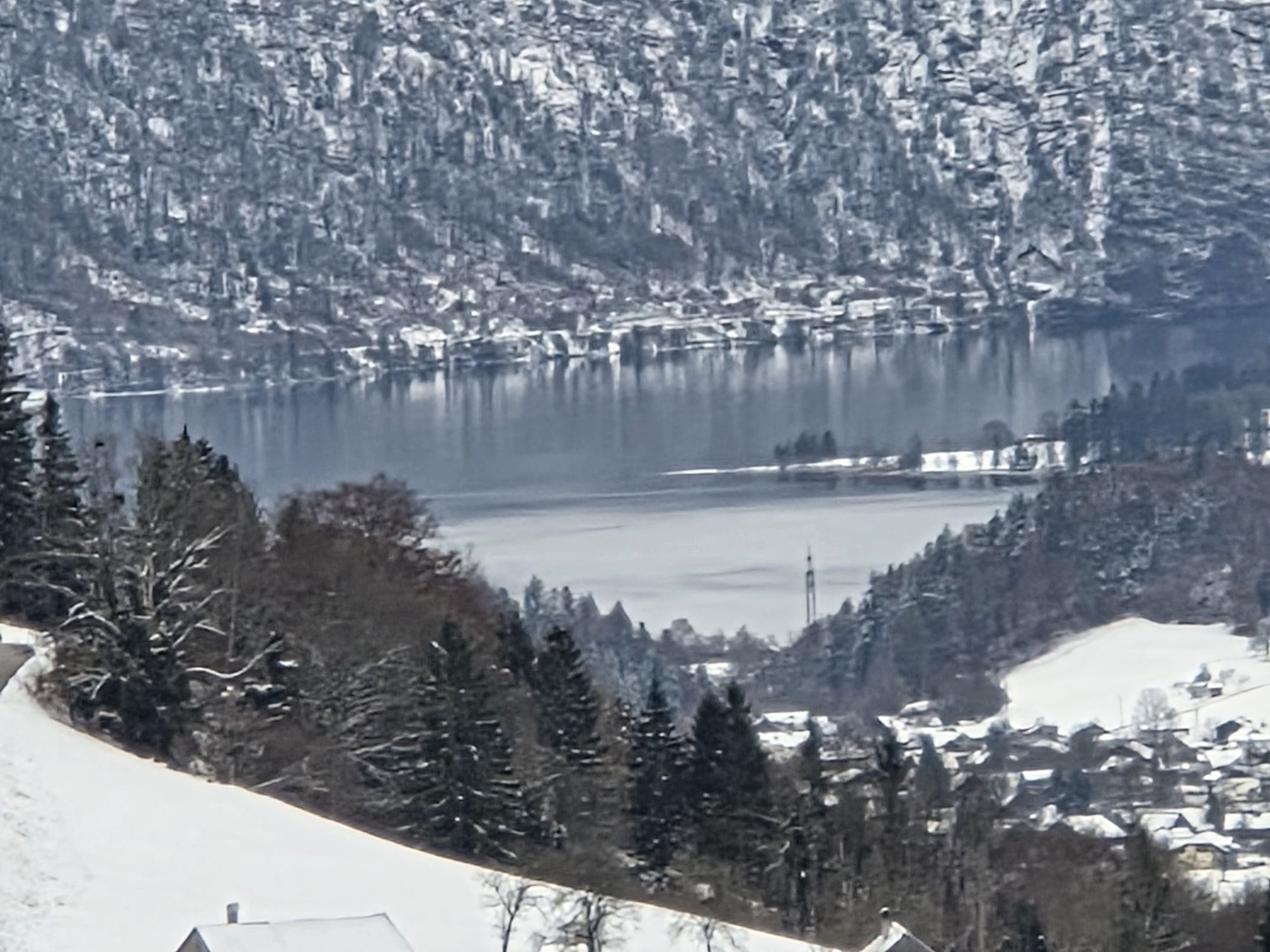
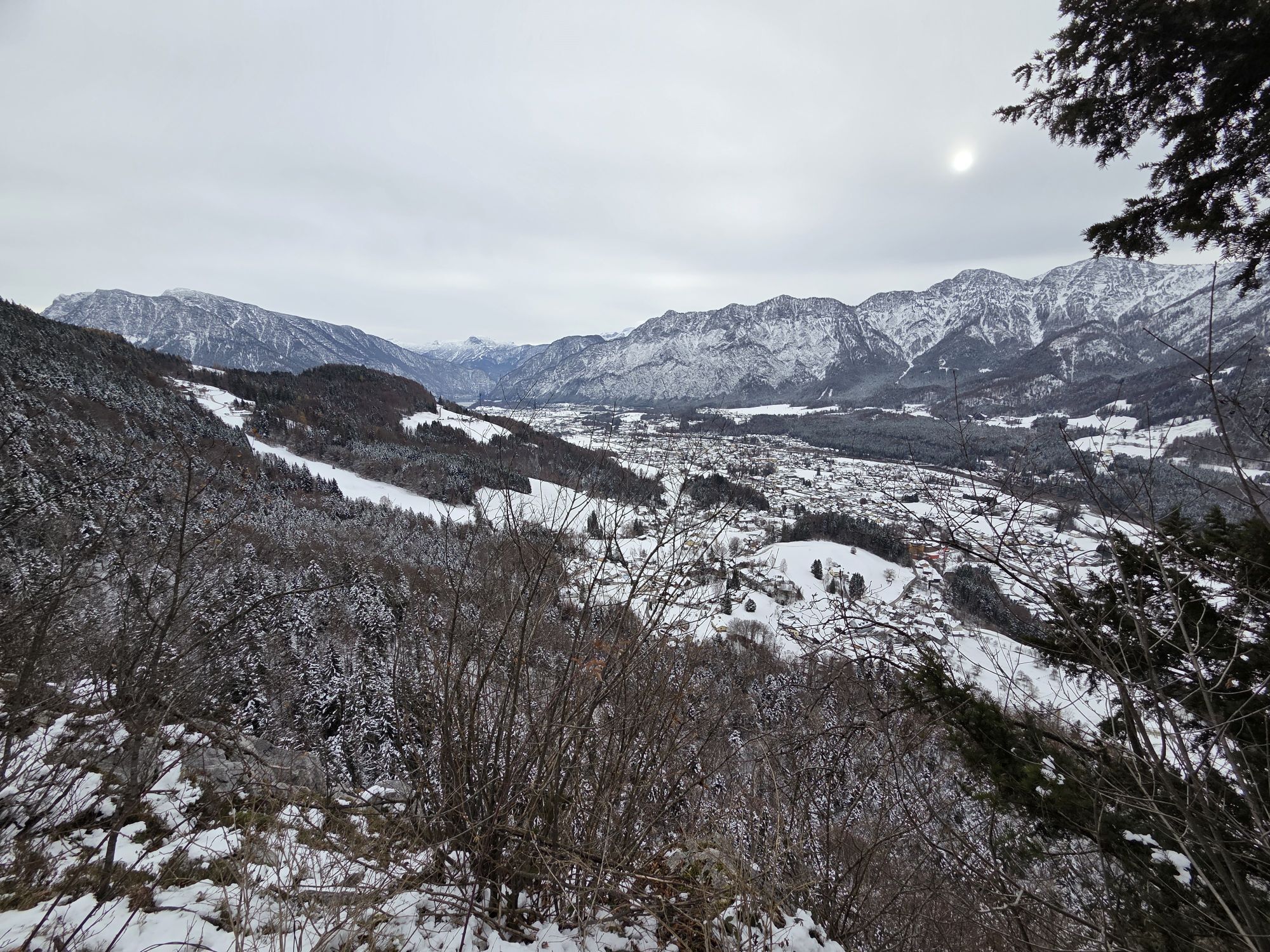
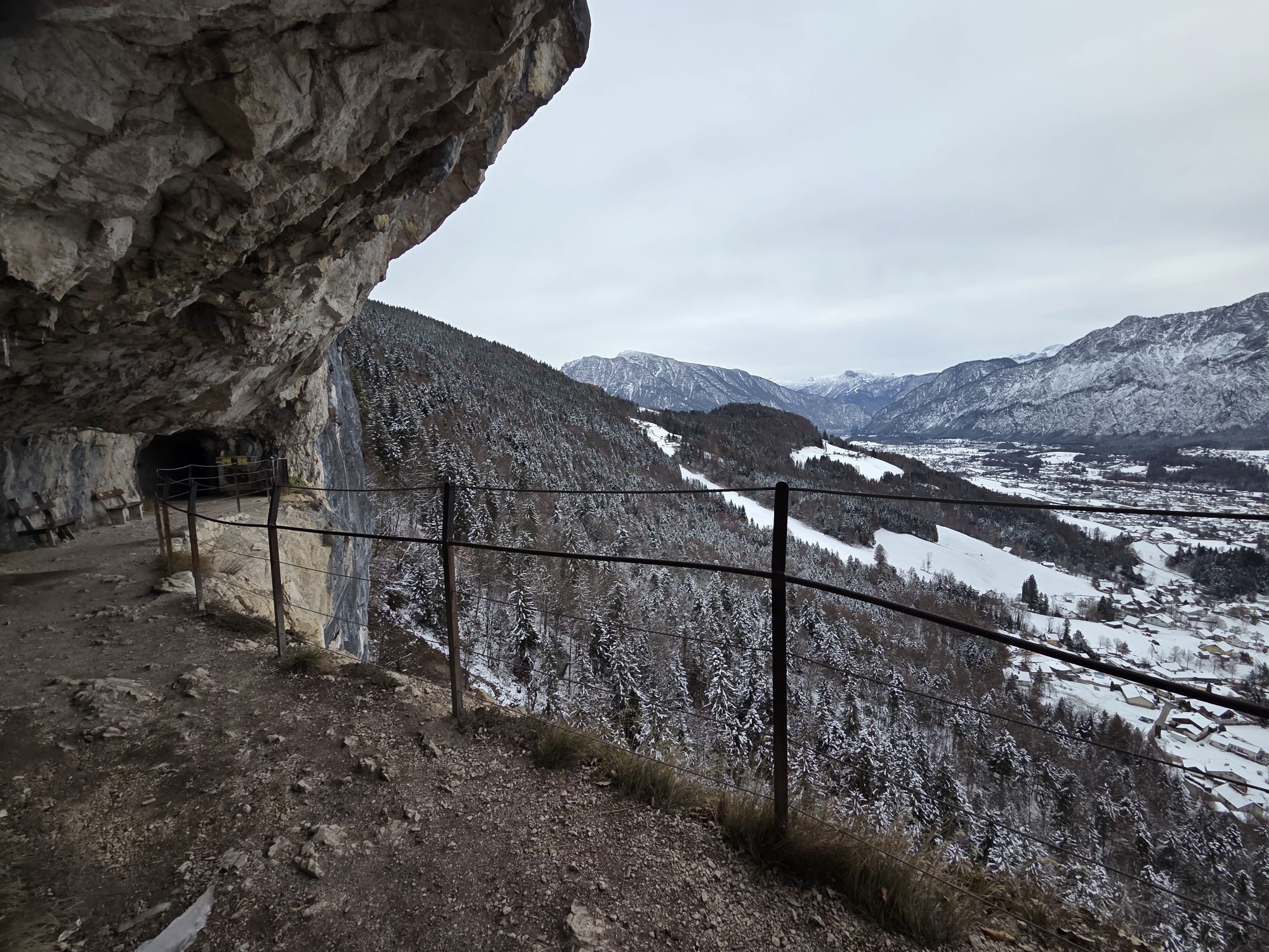
The Goiserer Hoisnradrunde S408 includes no single trails and mostly runs on forest roads. Especially on the steep sections on gravel, some riding skills are recommended.
The following highlights make...
The Goiserer Hoisnradrunde S408 includes no single trails and mostly runs on forest roads. Especially on the steep sections on gravel, some riding skills are recommended.
The following highlights make this tour, besides the wonderful nature, an unforgettable experience:
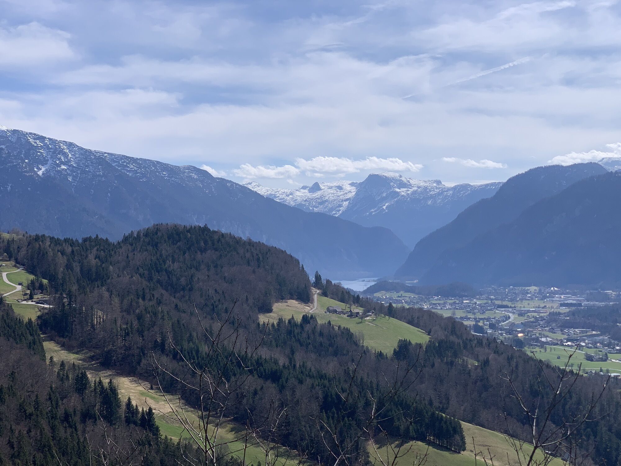
From Goisern via Lasern, we comfortably ride on the sunny side towards the Lesehotel and further up a steep forest road to Hütteneck with a great view of the Hallstatt lake. The route then leads gently downhill past Tauern to the Hoisnradalm with a view of Bad Ischl and the Wolfgangsee and returning over the lovely Reinfalzalm downhill towards Lauffen. We cross the Traun and pedal via Weissenbach, where the beer garden of the Weissenbach innkeeper has a magnetic effect, returning to our starting point in Bad Goisern.
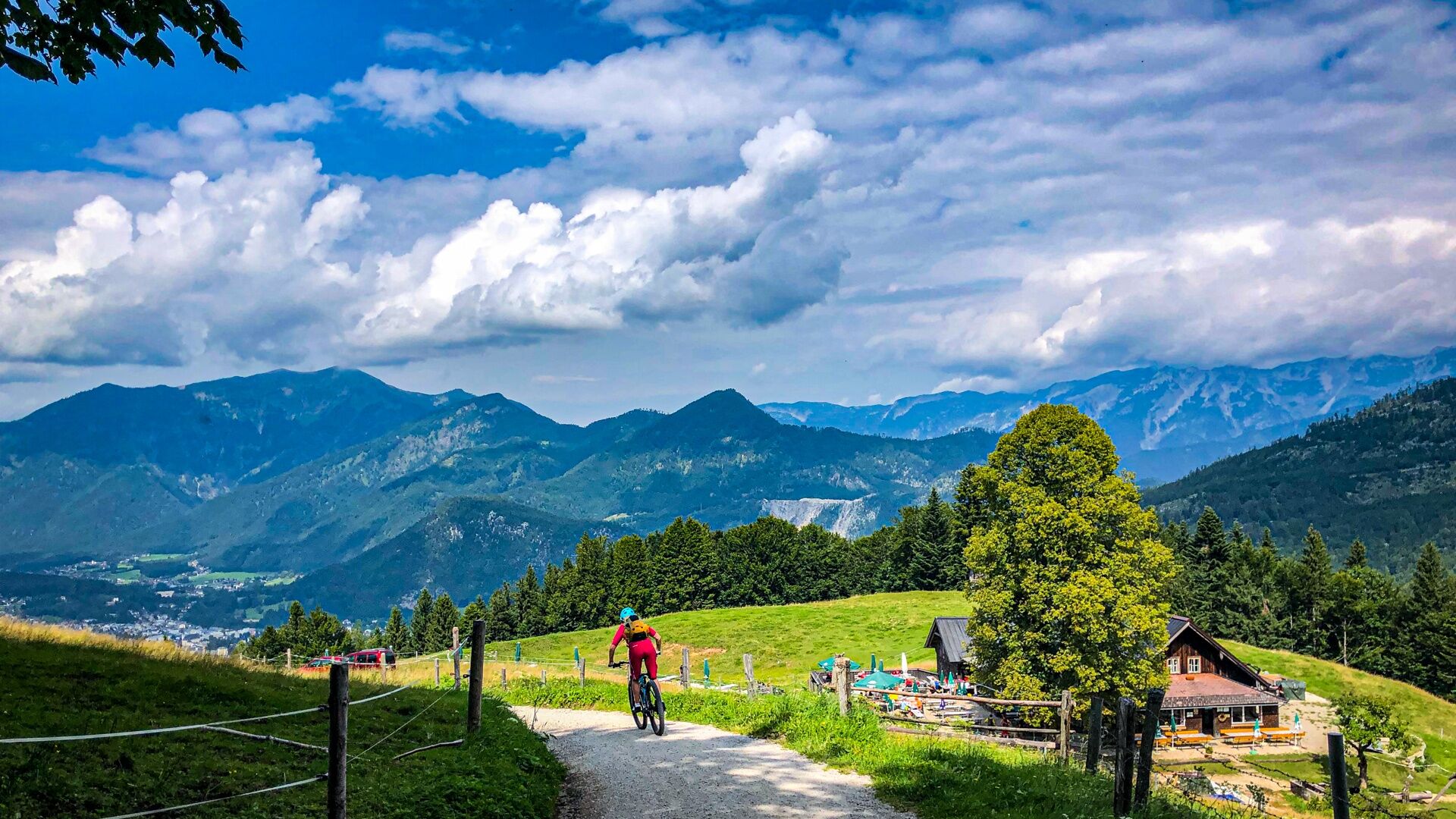
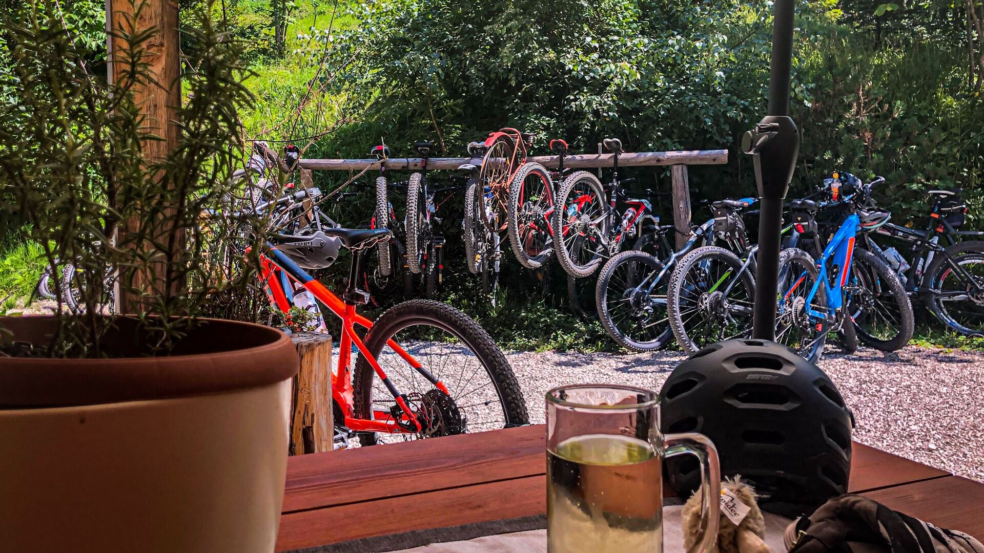
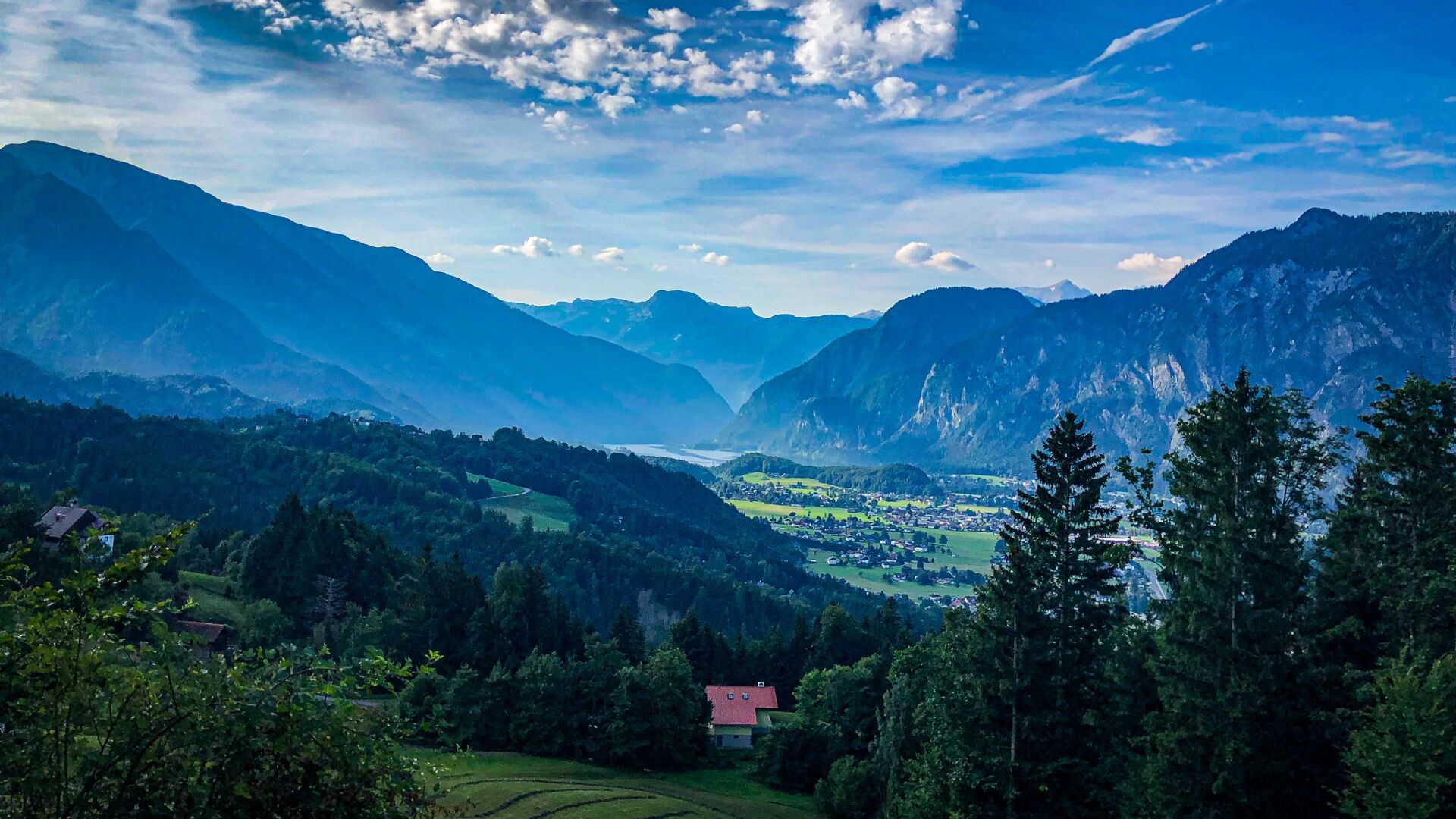
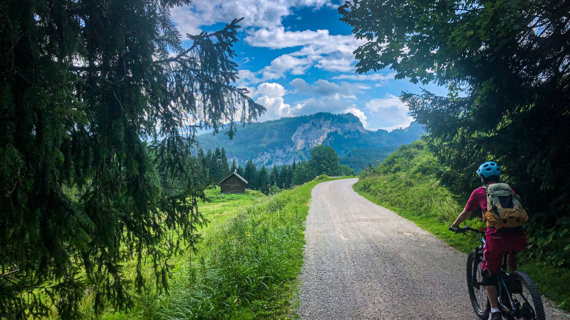

We start at the municipal office in Bad Goisern and turn left after 50m into the Untere Marktstraße, stay on this for 200m and then turn right towards Moserwirt, crossing under the B145 underpass, and ride about 1km on the Josef Putz Straße towards Lasern.
At the first intersection in Lasern (km1.2), we continue straight following the S408 signage on asphalt, passing the Lasern fire department uphill in curves for about 3.2km to Wurmstein. At the intersection to the Rathluckenhütte (km4.4), we continue on the Wurmstein service road for another 1.5km. At the left curve, we do not turn off, and after around 200m we turn right into the Predigstuhl parking lot (km6.1, elevation: 948m).
At the parking lot, we keep right and take the forest road about 300m towards Hütteneckalm. We stay on this forest road (km6.4) until after about 3.1km we reach a crossroads, where we turn left upwards in a hairpin (km6.4), following the S408 signage.
After 300m the forest road forks (km9.8), we shift to an easy gear and pedal steeply on the right side about 1.2km uphill towards Hütteneckalm.
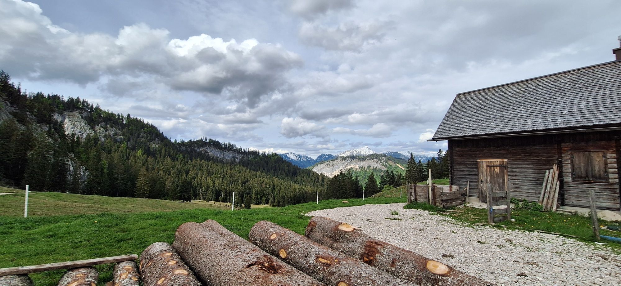
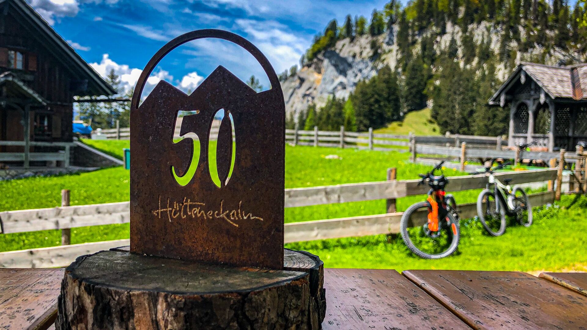
The Hütteneckalm is ideal for a stopover and at km11.0 is also the highest point of this route with an elevation of 1235m.
Now it goes gently downhill for another 2.3km towards Tauern. We stay on the forest road and at the intersection (km13.3) turn left for about 1.7km towards the Hoisnrad junction.
If you want to add a small detour, you can turn right downwards 200m (km13.5) after the crossroads and return to the original route by turning right again at km14.7.
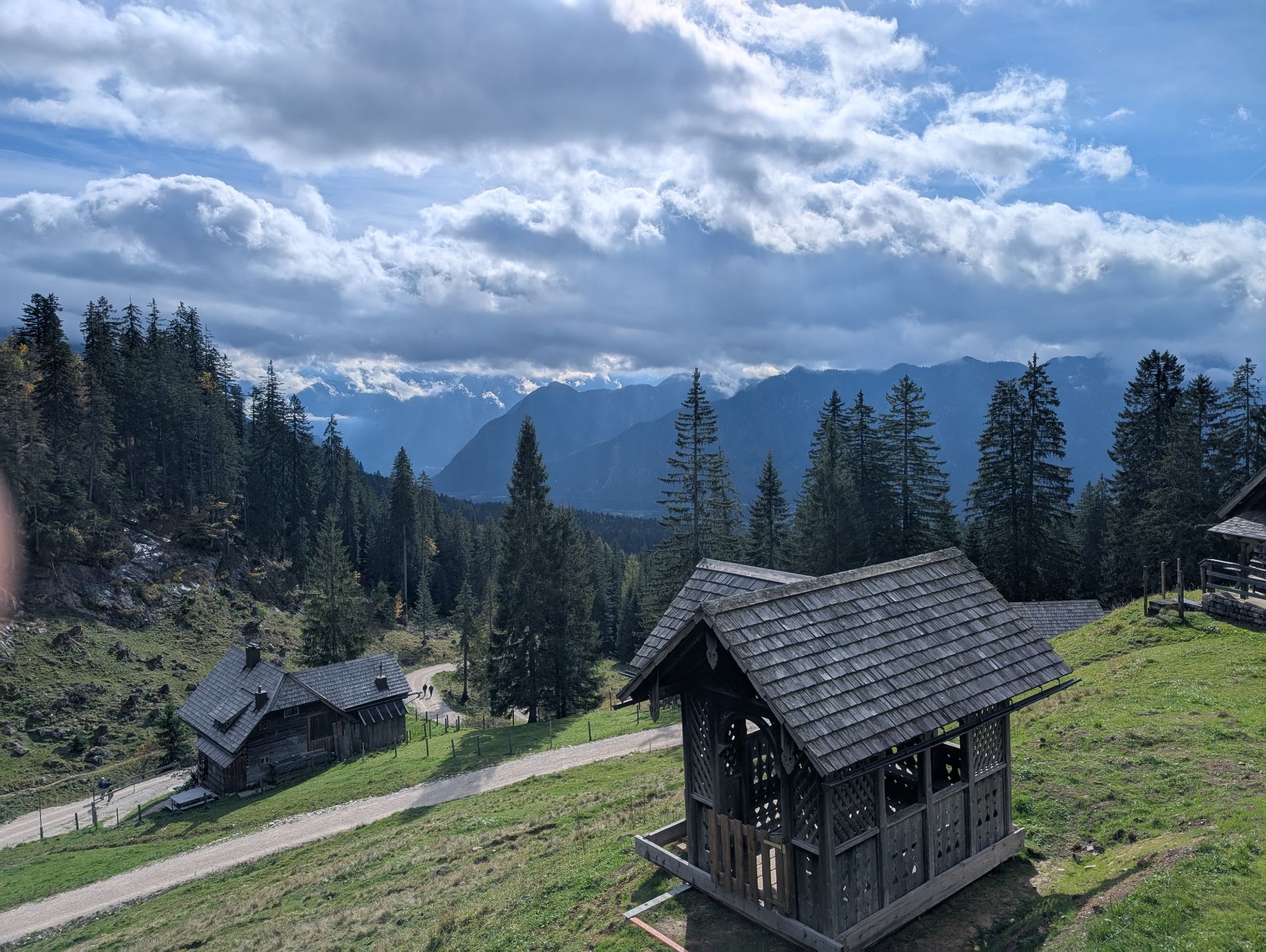
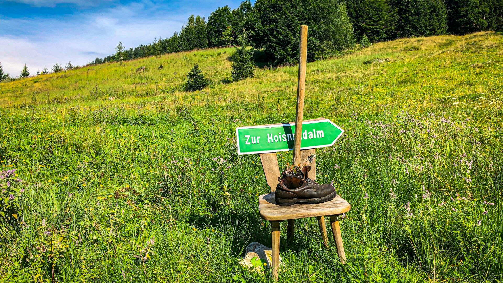
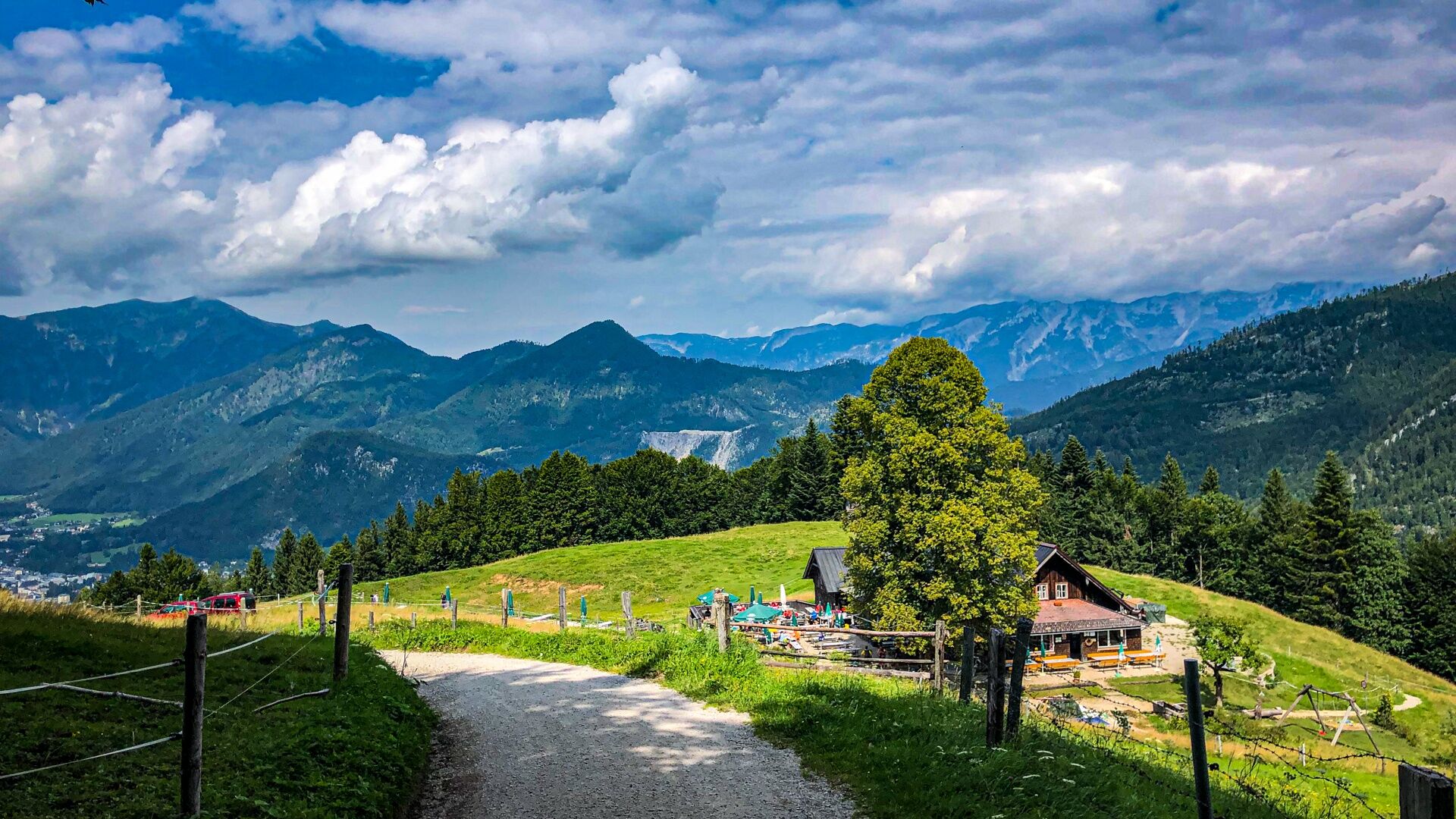
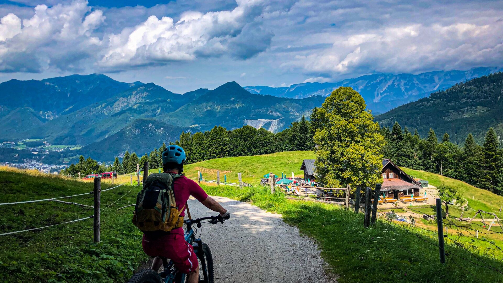
At the Hoisnradalm crossroads (km15.0), take a right on a short path with little elevation of about 1.2km to the Hoisnradalm (km16.2) with a wonderful view of Wolfgangsee and Bad Ischl.
Return on the side path for 1.2km to the Hoisnrad crossroads (km17.4) and then continue straight ahead keeping left, staying level and on the forest road, for about 2.7km towards Reinfalzalm (km19.1) (Lauffen).
From the Reinfalzalm, it goes gently downhill across the historic mining area for another 1.4km. We cross the crossroad (km20.5) straight ahead and at the next crossroad (km21.6) after about 1.1km we turn left onto Anzenbergstraße.
It goes slightly uphill, shortly after we pass a barrier and then roll downhill gently. After about 1.3km at the fork in the road (km22.9), we take the right side for another 500m up to the entrance to the Ewige Wand.
The Ewige Wand is not part of this route, but the trail is only a few meters from here. It's best to briefly park the bike and walk up left at km23.4 to have a look at the wall.
Otherwise, continue now 3.3km downhill on Anzenbergstraße to the Anzenaumühle open-air museum.
WARNING: Gravity traffic from the Anzenbergkogel quarry!
If you can also handle some technically more difficult sections flawlessly, there is the possibility of following the Predigstuhlrunde signage turning left at the quarry onto the path which crosses the Anzenbergstraße repeatedly.
We keep right, pass the Anzenaumühle open-air museum and go under the B145, joining the Salzkammergut cycle path R2 (km27.0) towards Bad Ischl after about 300m.
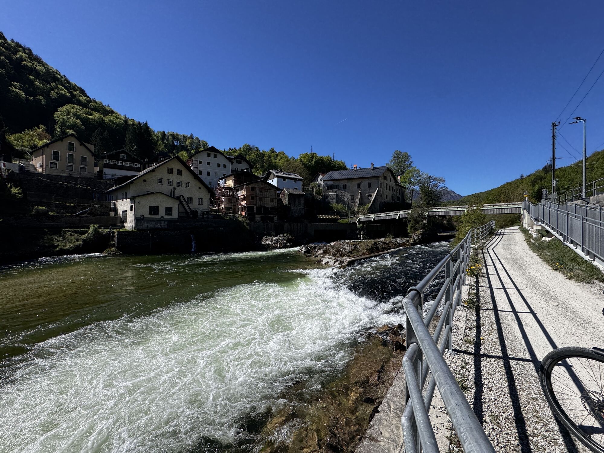
We stay on asphalt for 600m until the Traun bridge (km27.6) in Lauffen, cross the Traun river and the railway line, and immediately afterwards turn left downwards. After about 300m we turn left, ride under the railway (27.9km), and follow the Traun river upstream on a scenic trail towards Weissenbach. After about 1.5km we pass the village of Weissenbach (km29.4), cross the Weissenbach, and a few meters later, stop on the right in the beer garden of the Weissenbach innkeeper (km29.5) to recap our adventure.
Then continue for 200m on asphalt again towards the Traun. If fatigue takes over, you can shorten the route here. Just cross the Traun and then take the R2 toward Bad Goisern, or take the train at the Jodschwefelbad.
Attention! Due to the closure of the Sophienbrücke, the Traunreiterweg to Bad Goisern must be taken as a detour until further notice. Please be considerate of other road users, especially pedestrians! Trailbell/airhorn or bell recommended.
(The rest takes the original path and turns right before the Traun bridge (km29.6) and follows the asphalt path first slightly uphill, always staying on the main path, passing the spa facility, and after about 2.4km turning left downwards.)
After a short descent, it goes again 300m in a left curve along the Traun to the bridge which we cross and then follow the Salzkammergut cycle path R2 through the spa park to our starting point at the municipal office 1km away.
The wine-red mountain bike signage is clearly geographically located. Each waypoint has a unique number, e.g. 40702-0002, which is printed in the lower logo line. If you ever have difficulties, you can give this number to the Inner Salzkammergut Tourism Association and we will know where you are.
Please note that every (E)MTB tour must always be undertaken with faultless equipment. Below you will find a few tips on preparation and equipment.
More about it:
The Goiserer Hoisnradrunde is a circular route and signposted with the number S408. Routes with 400 numbers have a maximum length of 50km. The stated travel times are pure net travel times by E-MTB without breaks such as photo stops, refreshment breaks, etc.
Special caution when crossing federal roads B166 in Steeg and B145 in St. Agatha.
Please pay particular attention to heavy traffic (quarry) on Anzenbergstraße after the turnoff to Ewige Wand.
To make the day perfect, here are a few tips worth noting before each tour. Furthermore be aware that you are moving in the mountains and therefore personal responsibility plays a major role. This concerns the selection of the route to be mastered, the expected weather, and some dead zones where you will find no mobile connection.
Coming from Bad Ischl, the best start is at the stop (P&R) Jodschwefelbad or Lauffen. Coming from Gosau or Altaussee, best start is in Bad Goisern at the municipal office. Parking spaces are especially scarce on weekends.
By train to Bad Goisern, Jodschwefelbad, or Lauffen.
Lauffen: Lauffener Marktstraße, 47.673281, 13.616500
Jodschwefelbad: Jodschwefelbad stop on the B145, MJ55+CJ Bad Goisern am Hallstättersee, Bundesstraße 34, 4822 Bad Goisern am Hallstättersee
Parking lot Bad Goisern Mitte: JJR9+X5 Bad Goisern am Hallstättersee
Parking lot Bad Goisern: Stockhalle Bad Goisern Perdanner Promenade 10 (Stampfl), 47.63887457844231, 13.615310700142993
S1
In Bad Goisern, all mountain bike routes start at the ÖAMTC service point in Bahnhofstrasse at the municipal office. The routes are signposted and numbered. The routes are also signposted from Bad Goisern station and Jodschwefelbad.
We look forward to comments, suggestions, constructive criticism, and of course thousands of photos from your tour with the hashtag #dachsteinsalzkammergut in your social media posts.
As new players on the field of mountain and leisure sports, we E-MTB riders have a special duty to behave properly.
In Graubünden, bikers and hikers share the paths. A project that should set an example. But this only works with mutual respect. Bad apples throw us back years.
With common rules of the game, we ensure that the forest remains a unique recreation and habitat as well as a workplace for all in the future.
Information about cycling in the forest from the Federal Ministry of Agriculture, Regions and Tourism.
The view at the Hütteneckalm and the raspberry-thyme juice at the Hoisnradalm. The loving arrangements on both alms.
 Uzyskaj wgląd Zawsze na żywo z ponad 9 500 kamer internetowych. bergfex Jako użytkownik Pro, możesz teraz zobaczyć odpowiednie kamery internetowe dla wielu wycieczek w aplikacji wycieczki od. Pozwala to na bezpośredni podgląd aktualnych warunków.

Popularne wycieczki w okolicy
- 4,3
Altaussee: Seeumrundung
Wycieczki górskie 7,58 km - 4,5
Loser: Loserfenster und Losergipfel
średniWędrówka 2,48 km - 3,8
Ostuferwanderweg
światłoWędrówka 16,2 km - 4,5
Hike to the Hütteneckalm
światłoWędrówka 8,70 km - 4,8
Loserrunde über Augstsee, Loserfenster, Losergipfel und Loserhütte
średniWędrówka 4,69 km - 4,7
Hütteneck ski & snowshoe tour
średniRakieta do chodzenia po śniegu 3,88 km - 4,9
„Hoher Sarstein 1975m“ - Hallstätter Genusstour - Hallstatt - Obertraun - Bad Ischl
ciężkiWędrówka 23,2 km - 4,7
Katrin
światłoWędrówka 4,21 km - 4,7
/\ Sparber
ciężkiWędrówka 6,82 km - 4,6
Katrin
średniWędrówka 2,95 km
Wędrówki i tropienie


Nie przegap ofert i inspiracji na następne wakacje
Twój adres e-mail została dodana do listy mailingowej.





