


Upper Austria Mariazellerweg Steyr - Maria Neustift


The Mariazellerwege consists of several sections. They share a common goal: the pilgrimage site Mariazell in northern Styria. This network of paths emerged through the many foot pilgrims who sought their...
The Mariazellerwege consists of several sections. They share a common goal: the pilgrimage site Mariazell in northern Styria. This network of paths emerged through the many foot pilgrims who sought their way to the Mariazell pilgrimage church in various ways.
Section I
Steyr - St. Ulrich near Steyr - Plattenberg - Spadenberg - Maria Neustift - total 31 km, 8 hours.
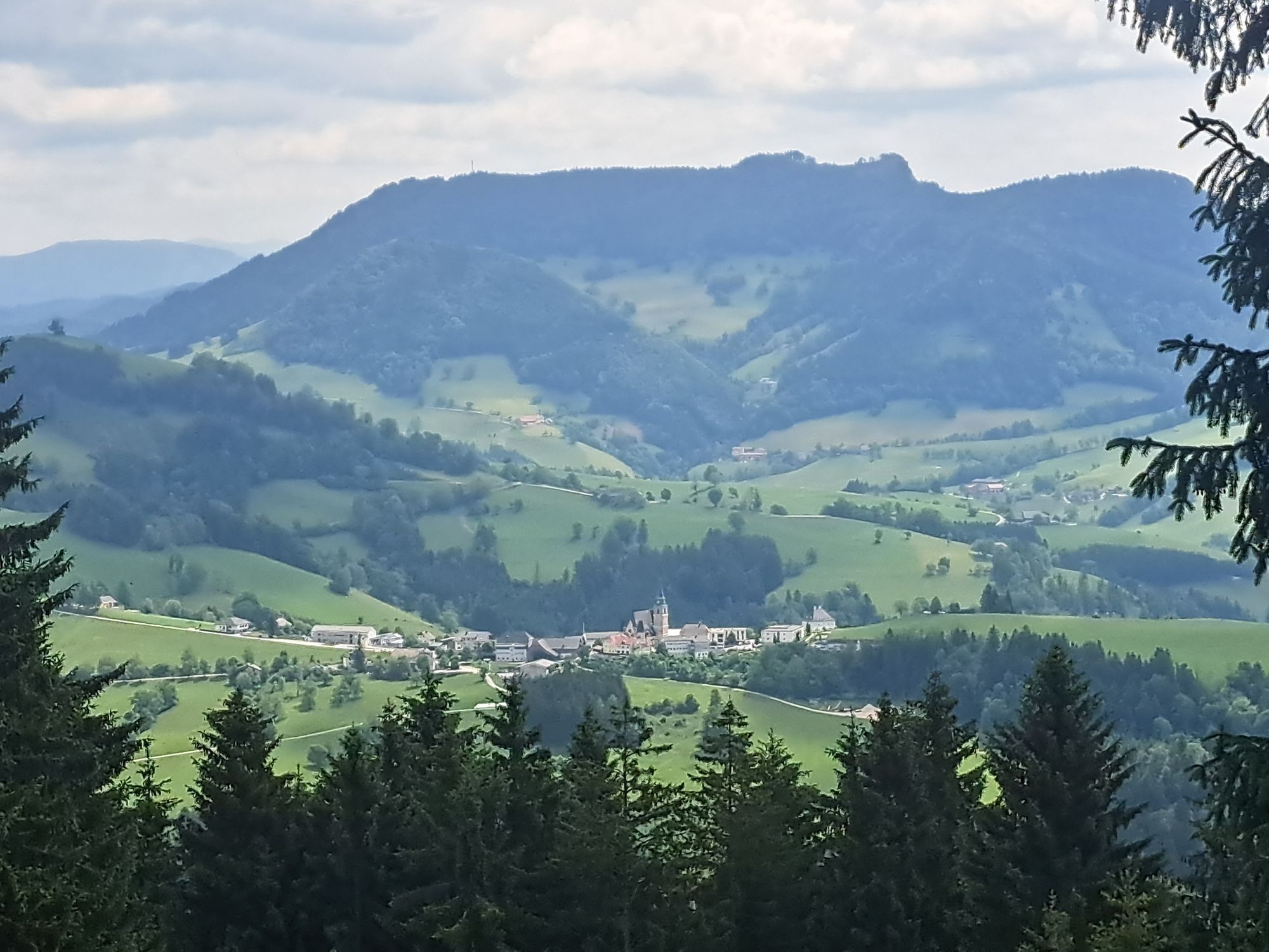
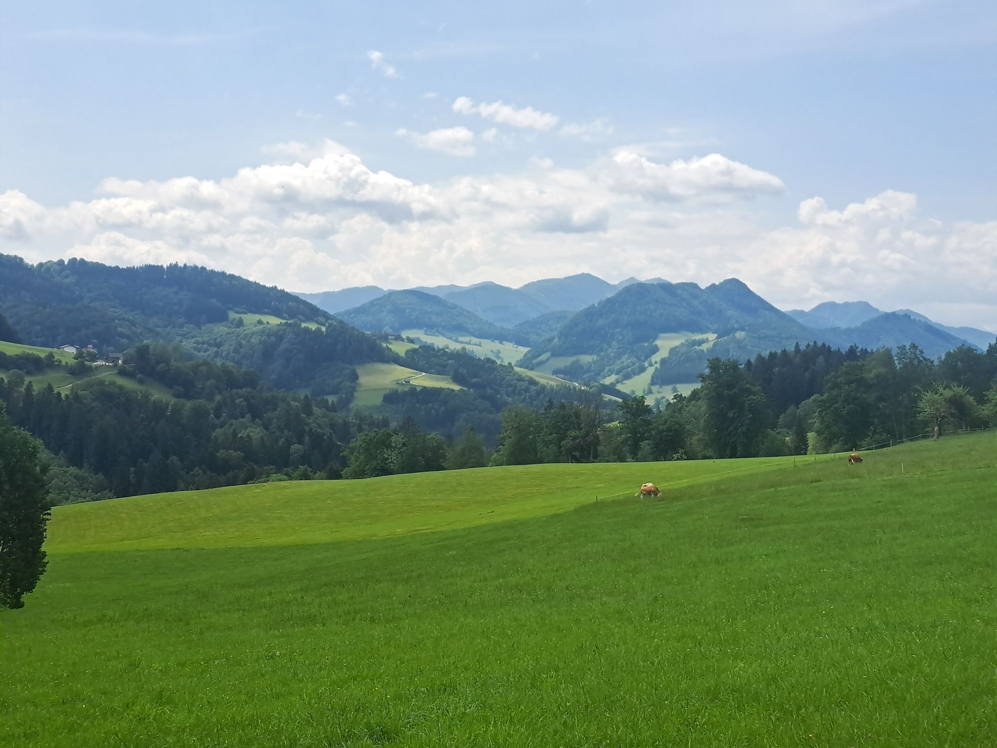
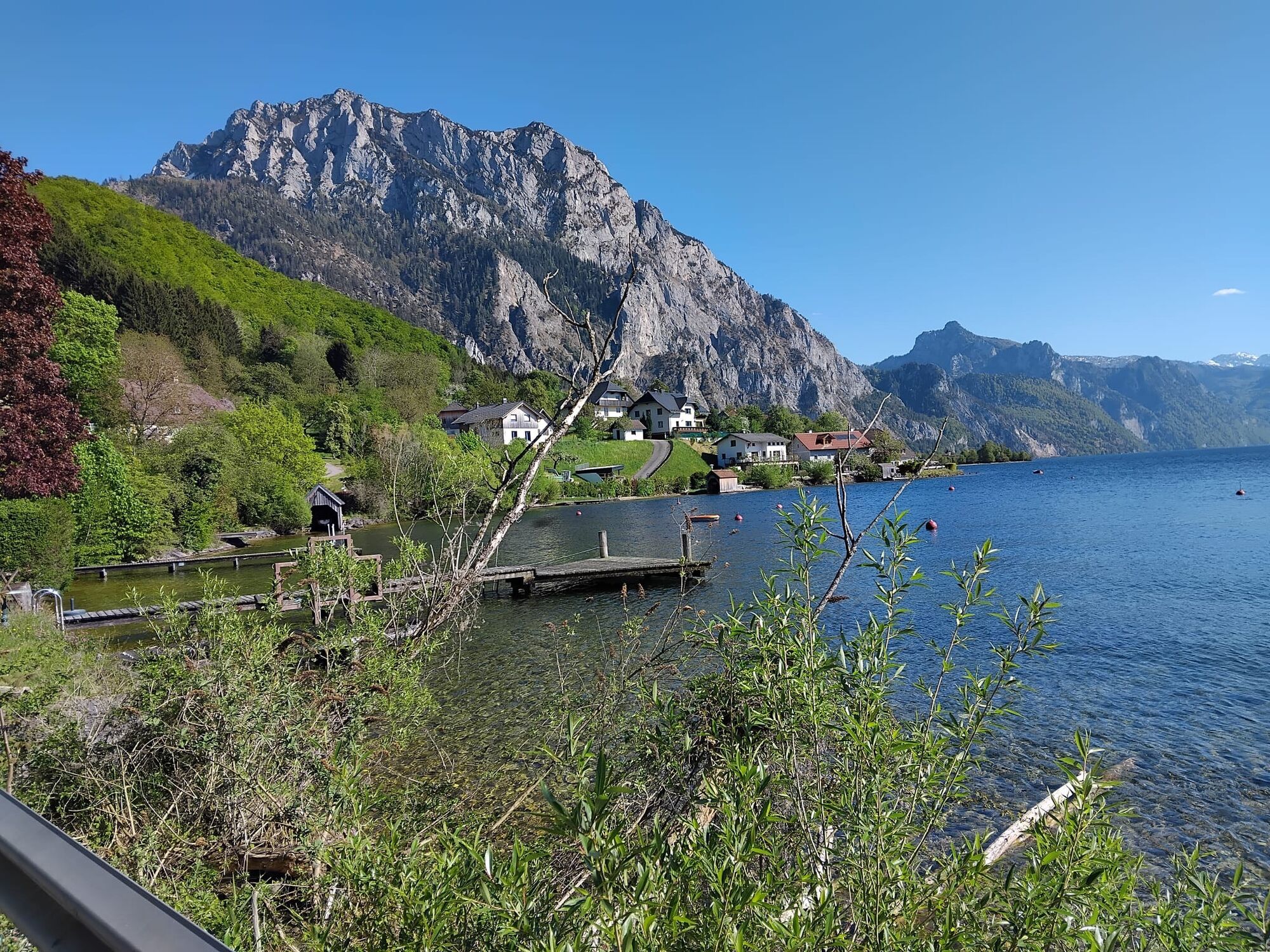
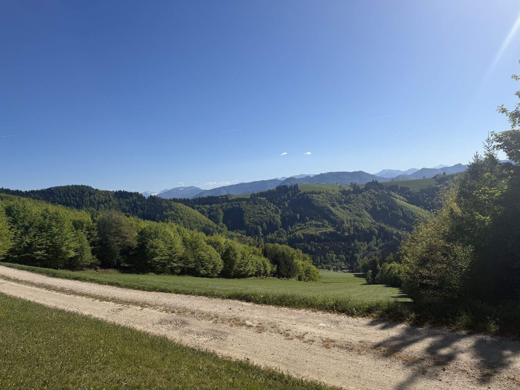
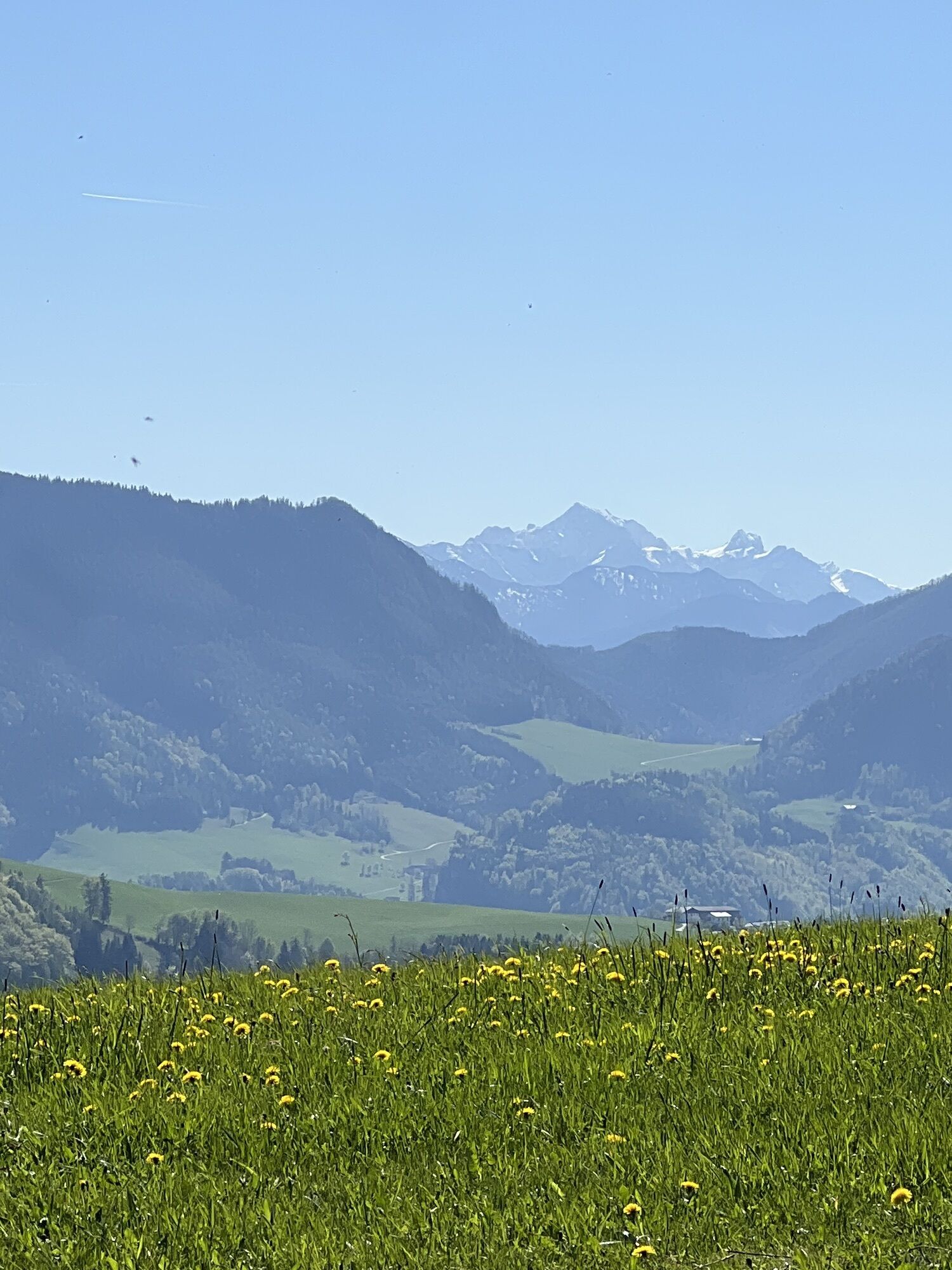
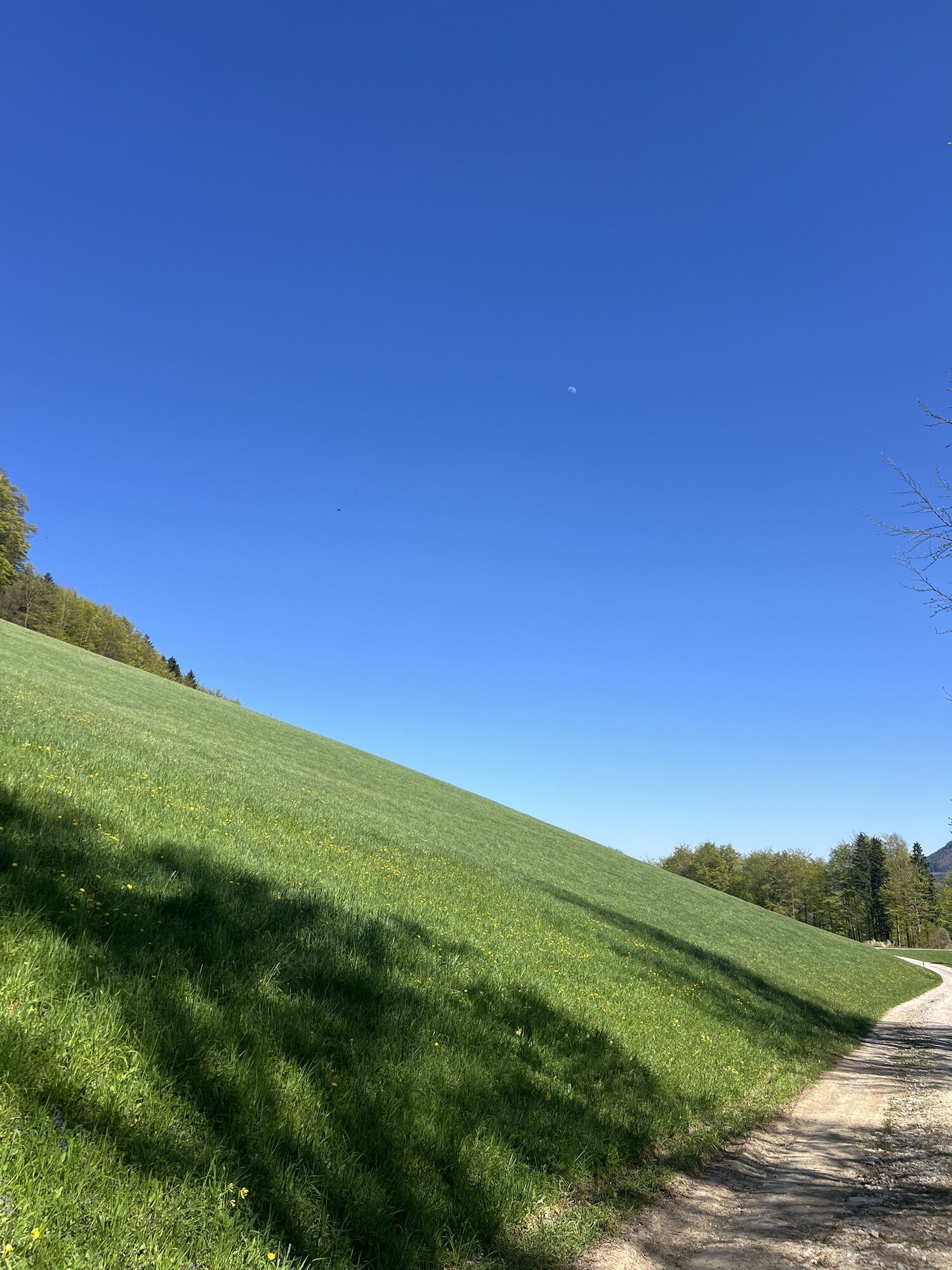
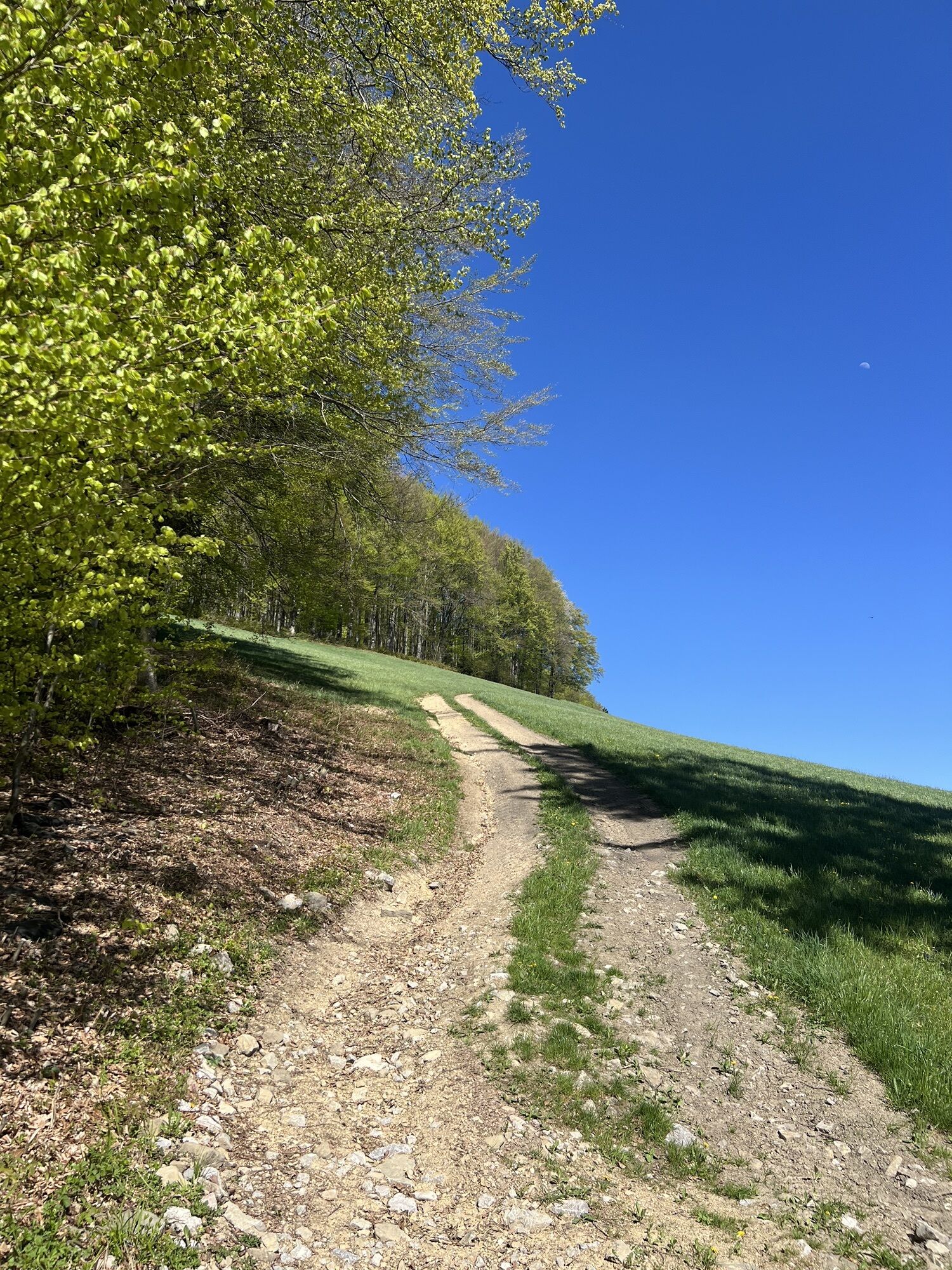
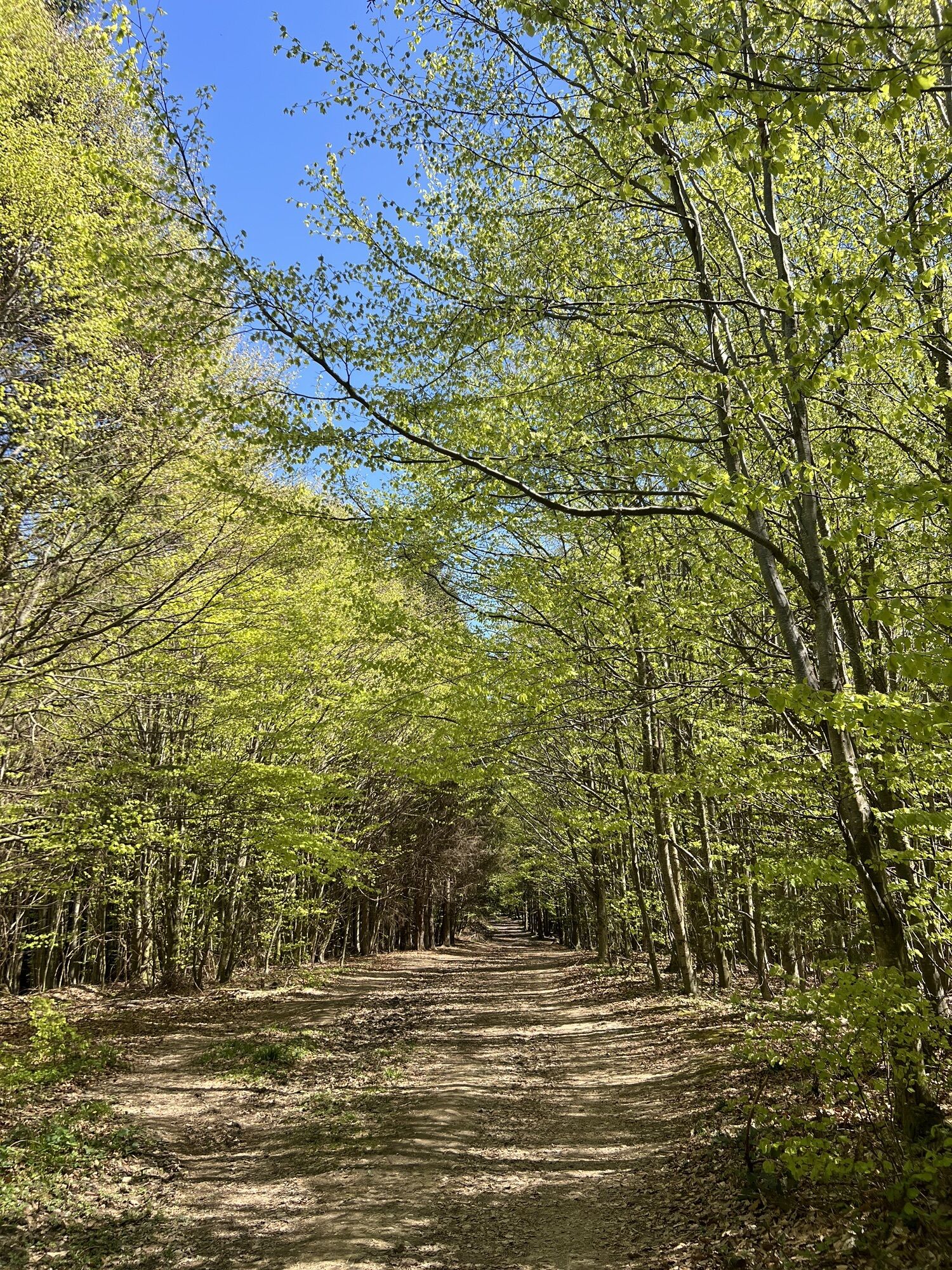
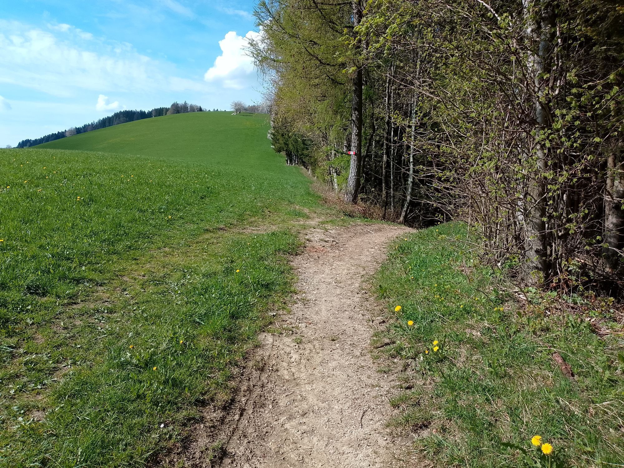
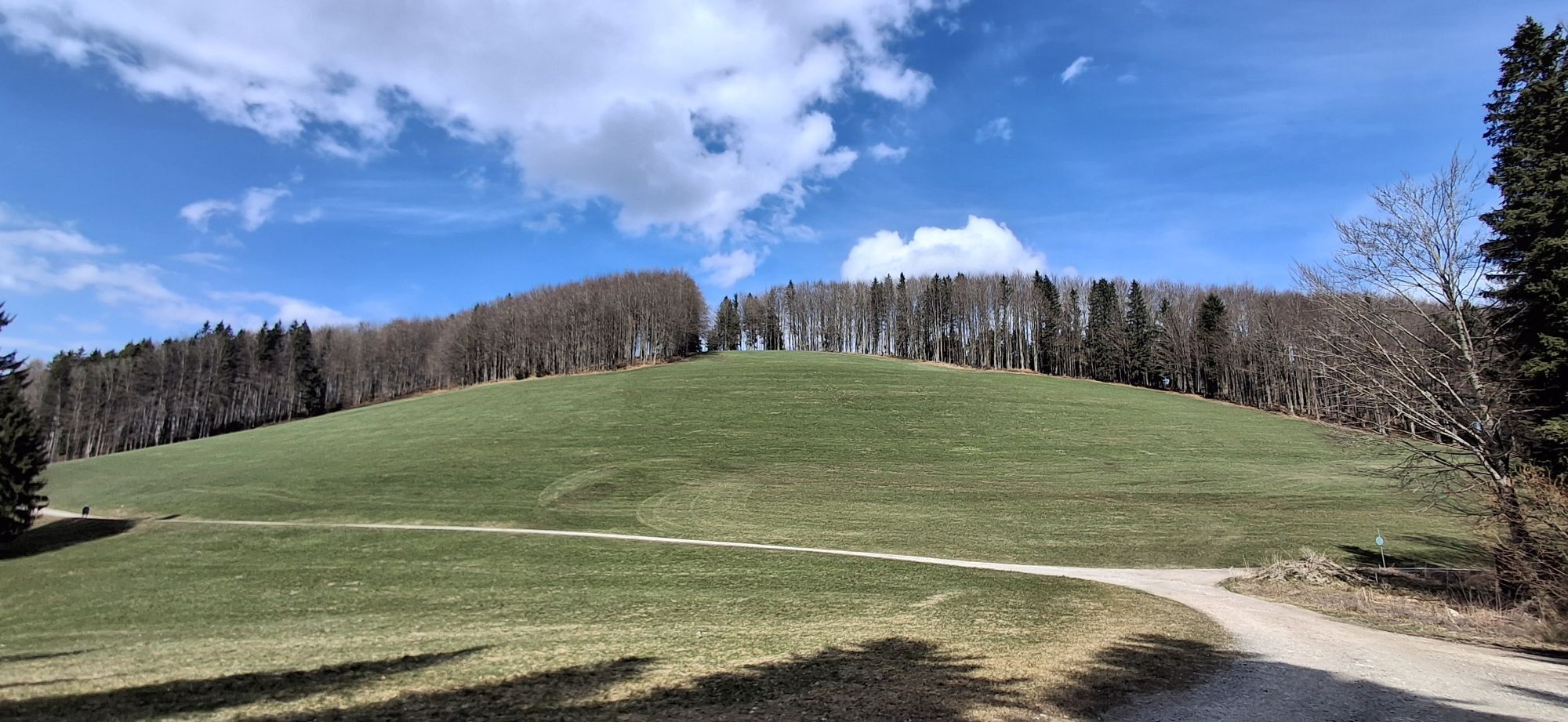
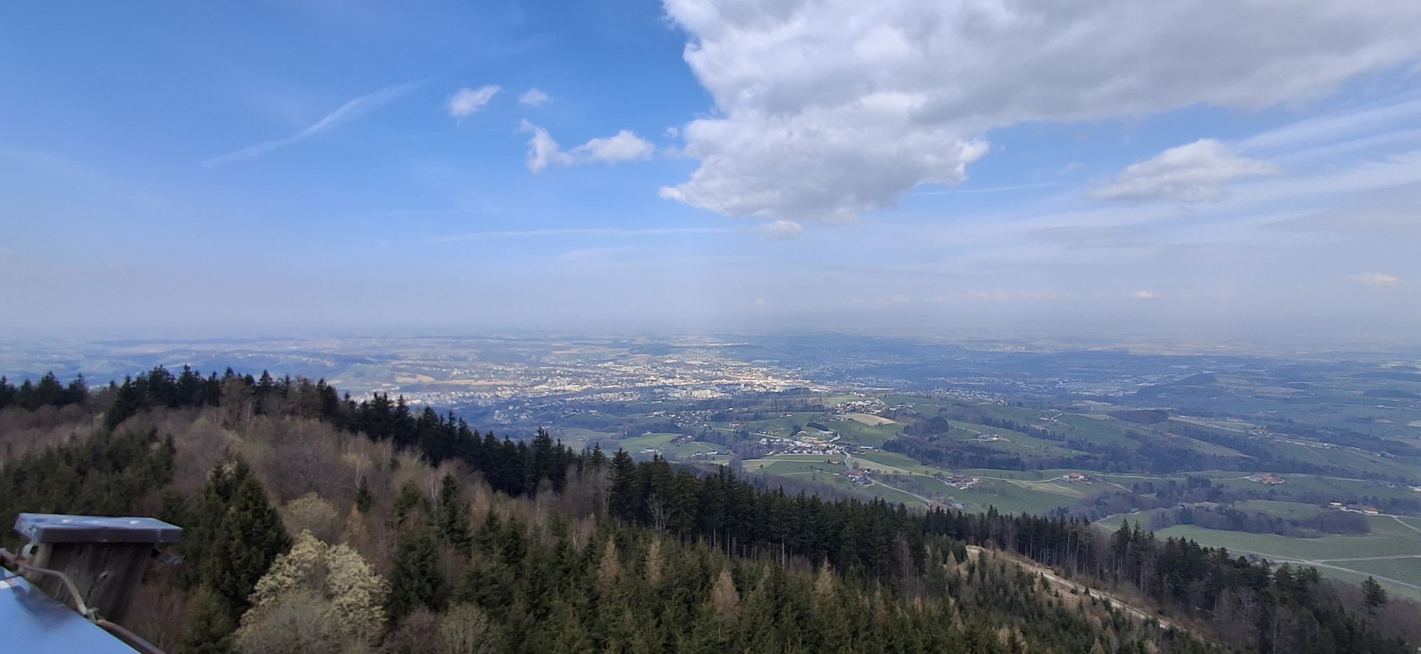
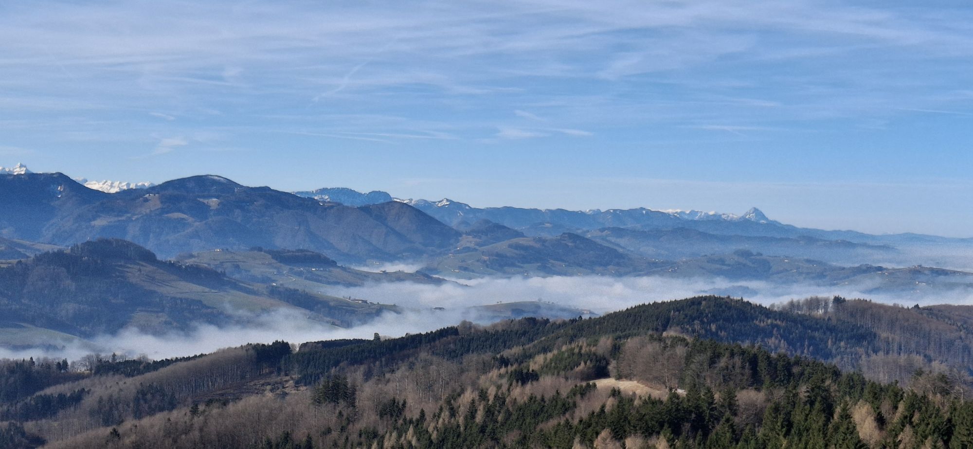
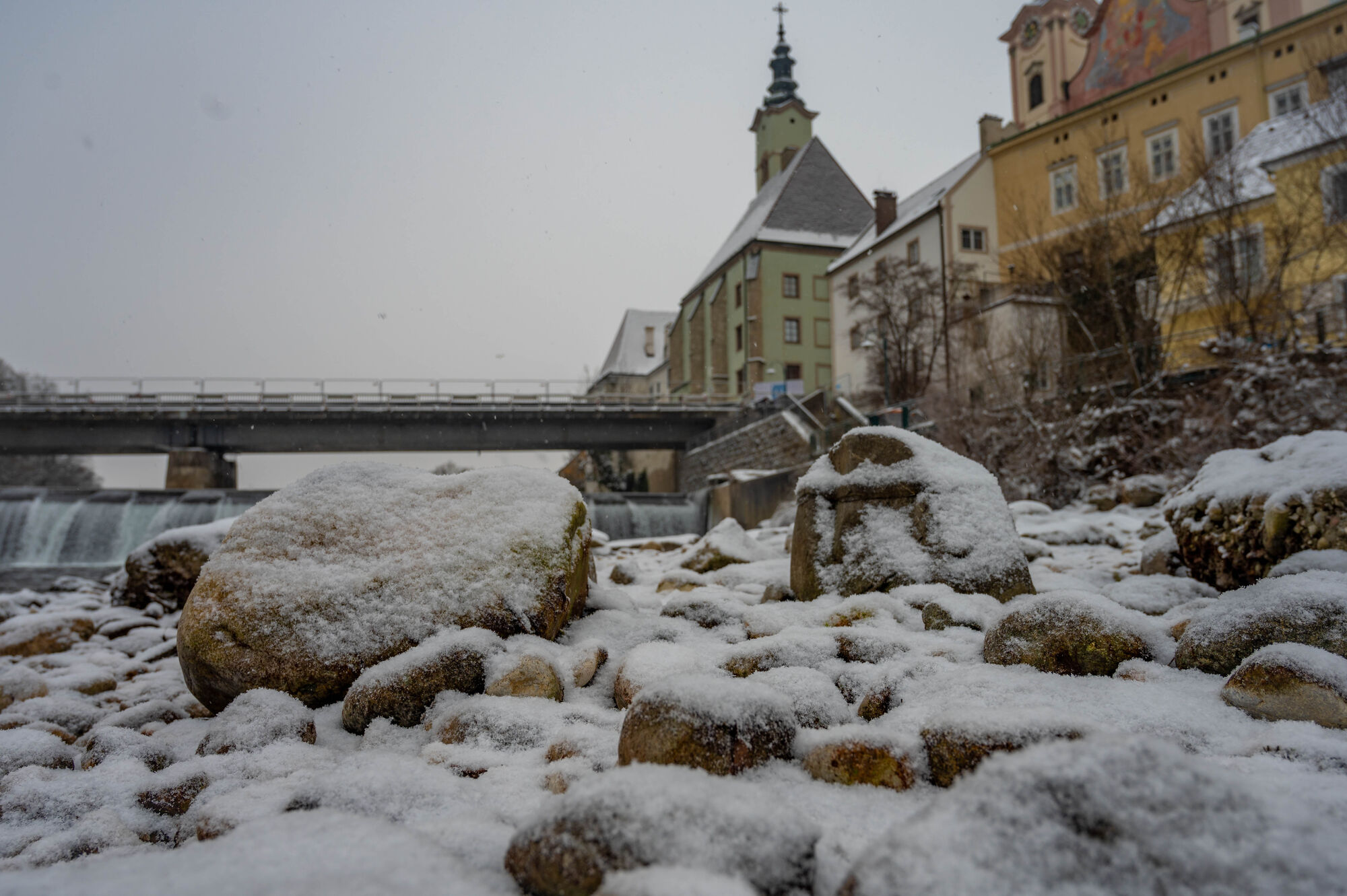
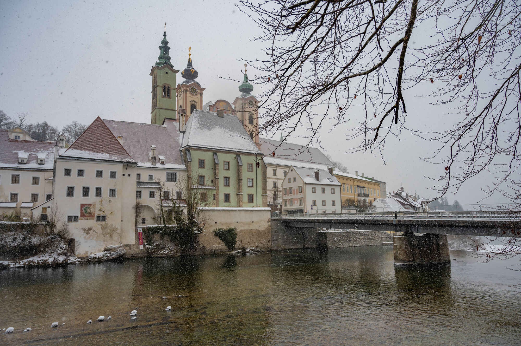
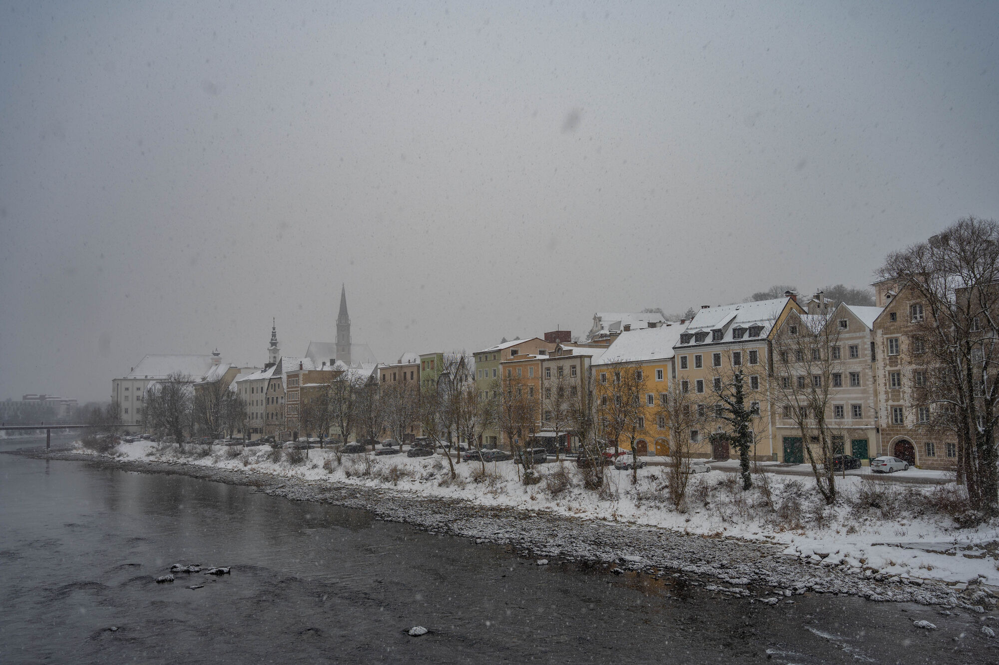
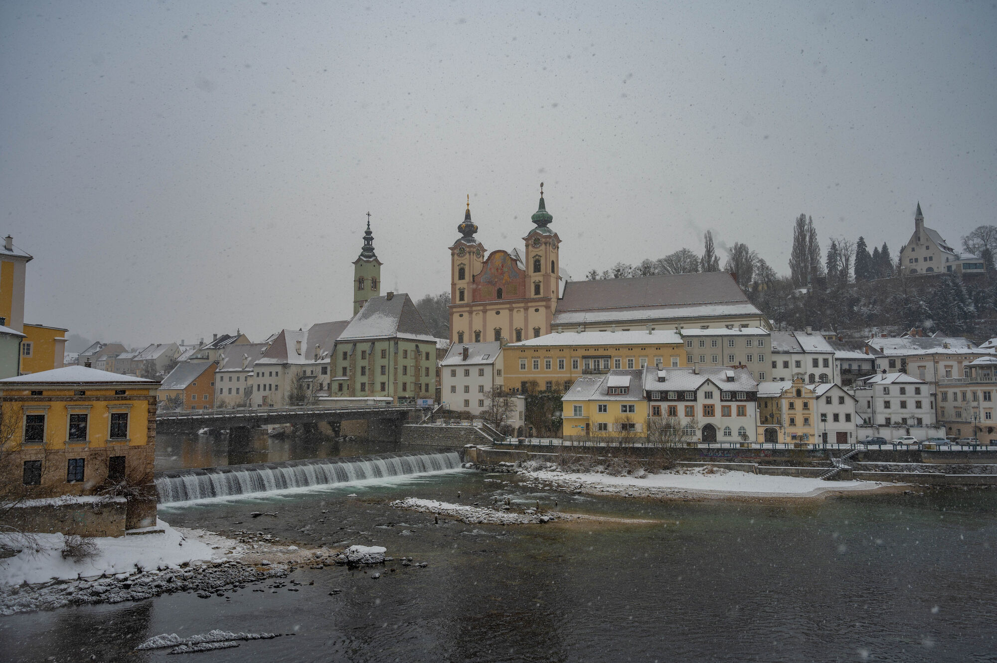
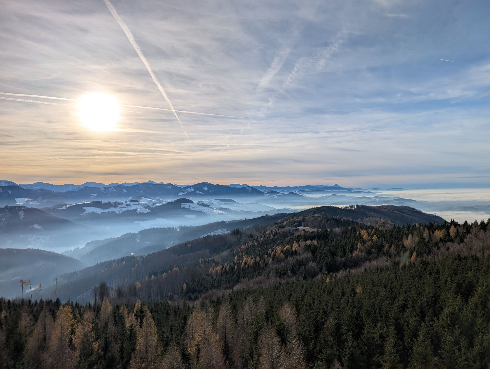
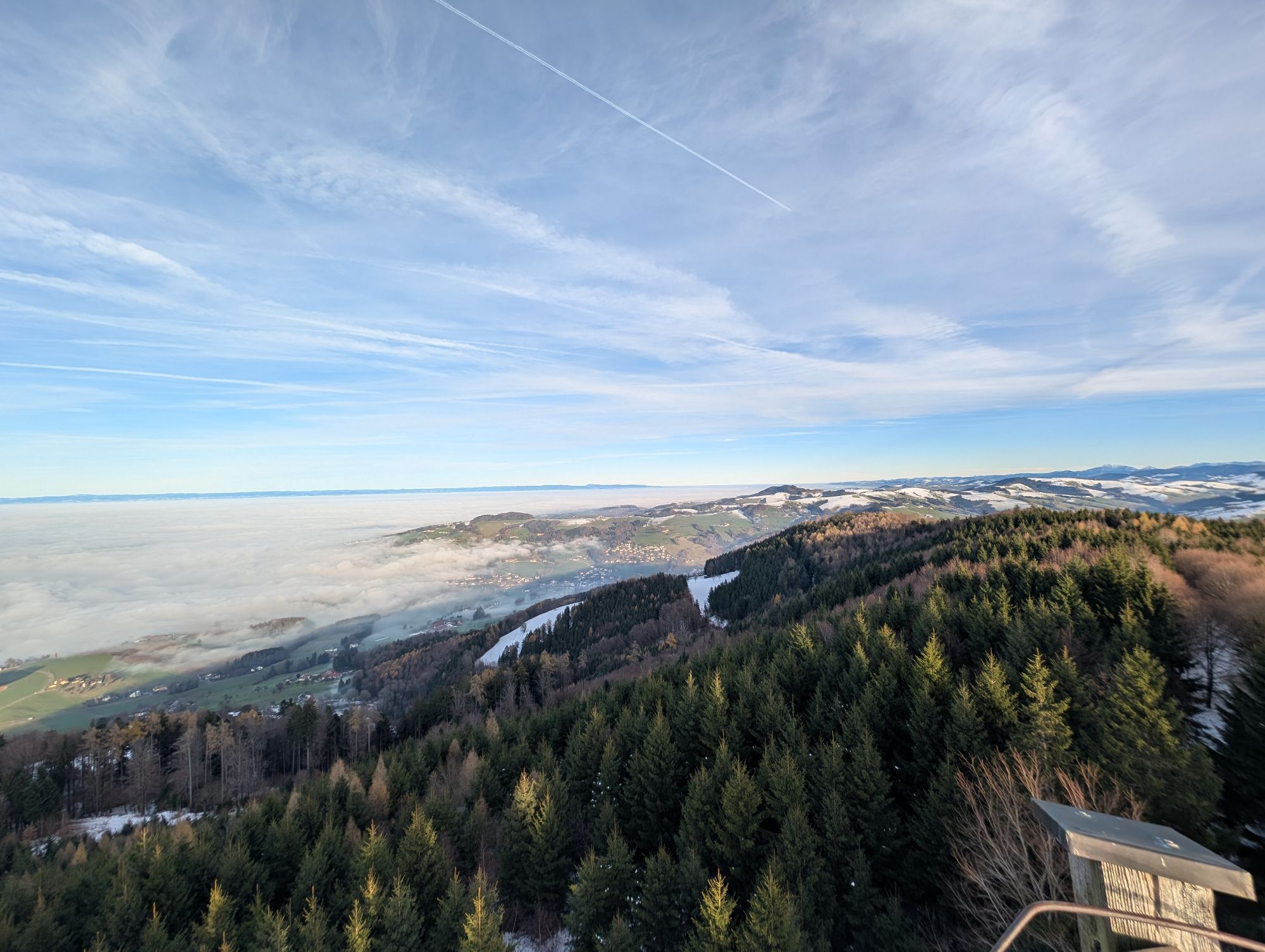
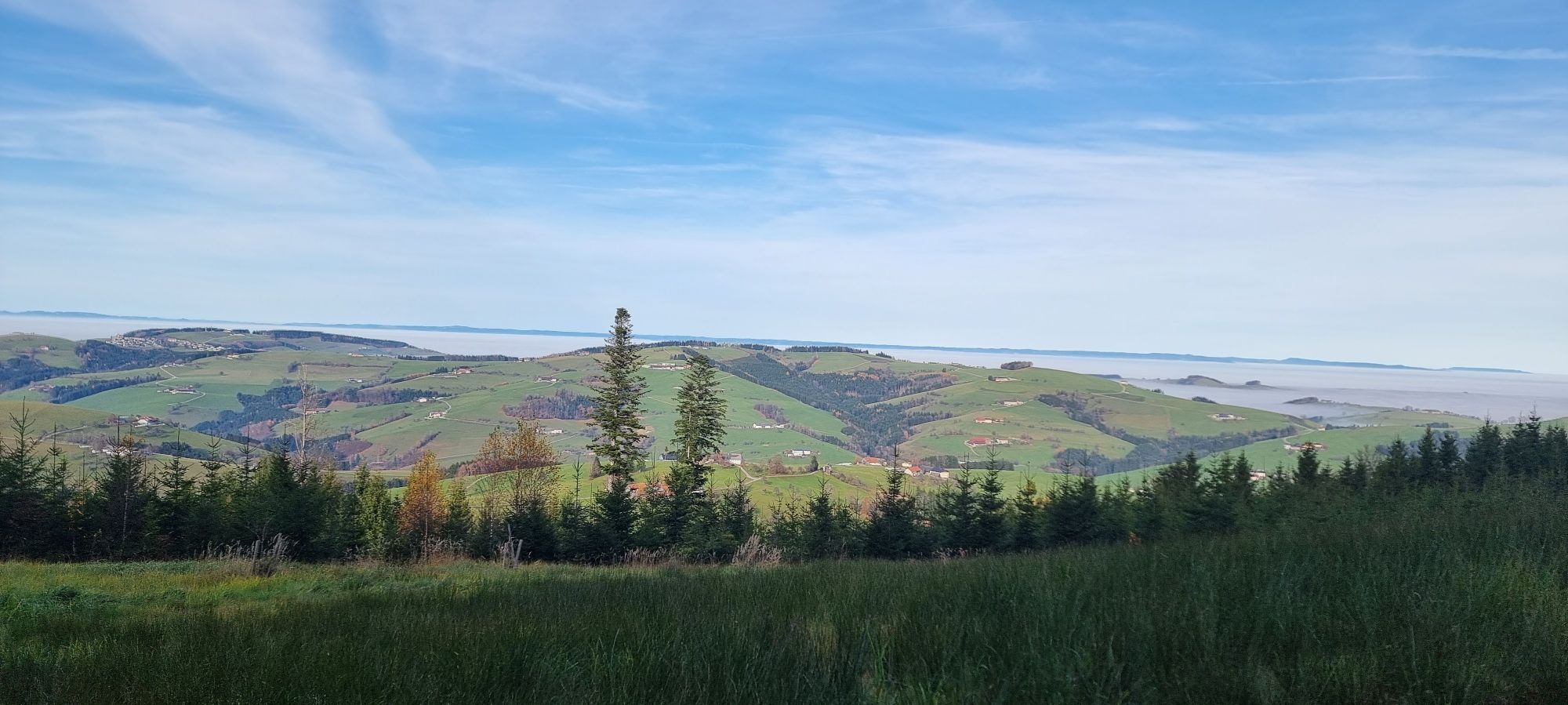
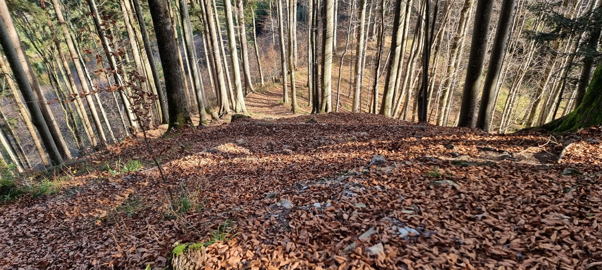
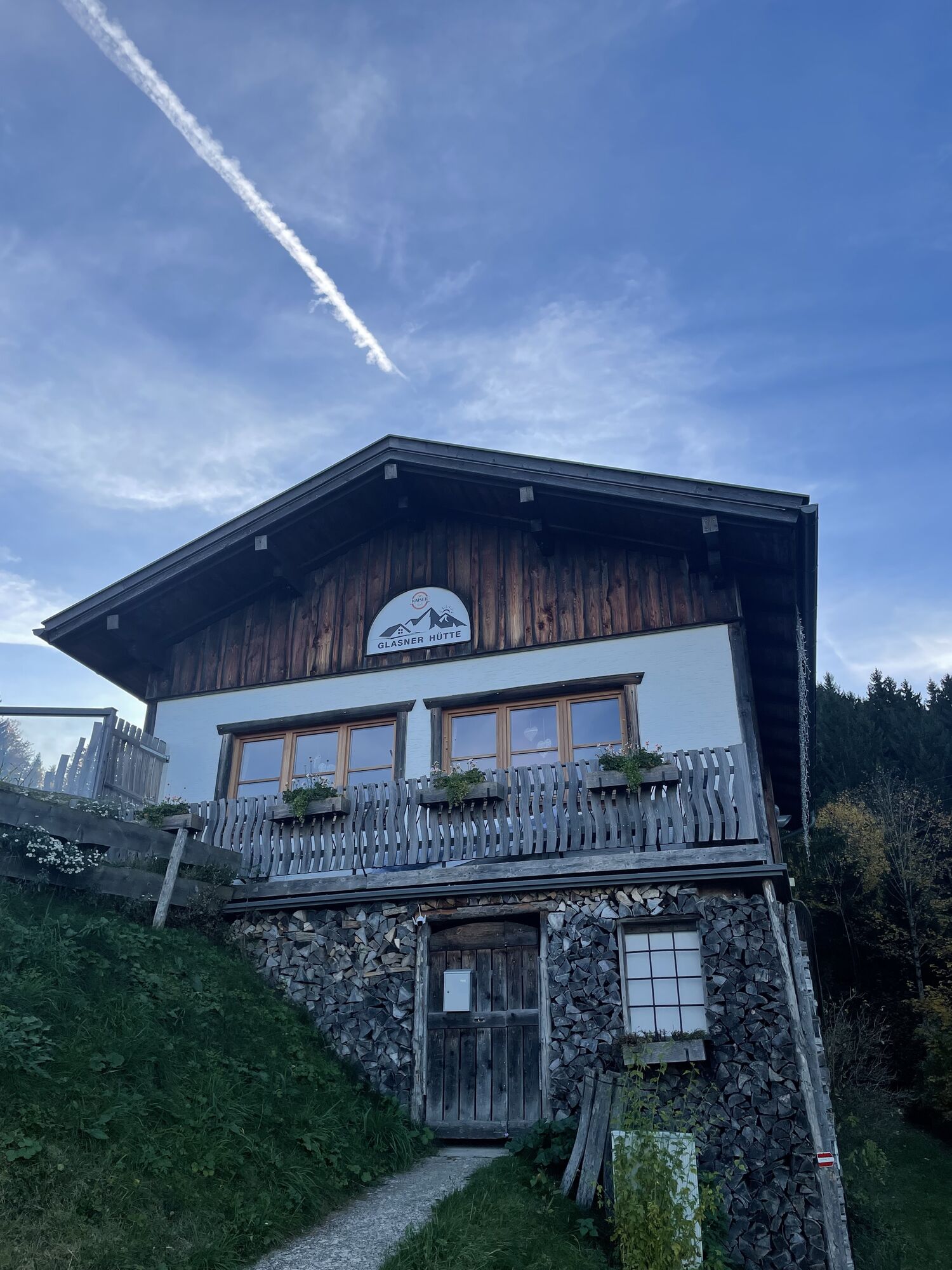
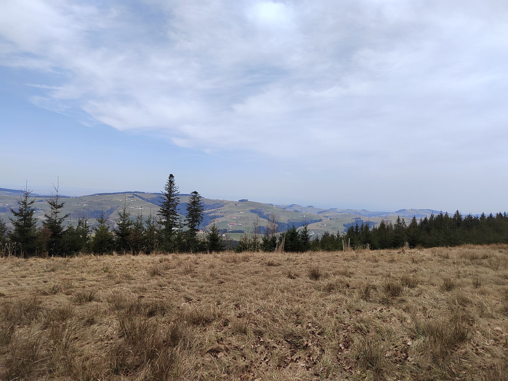
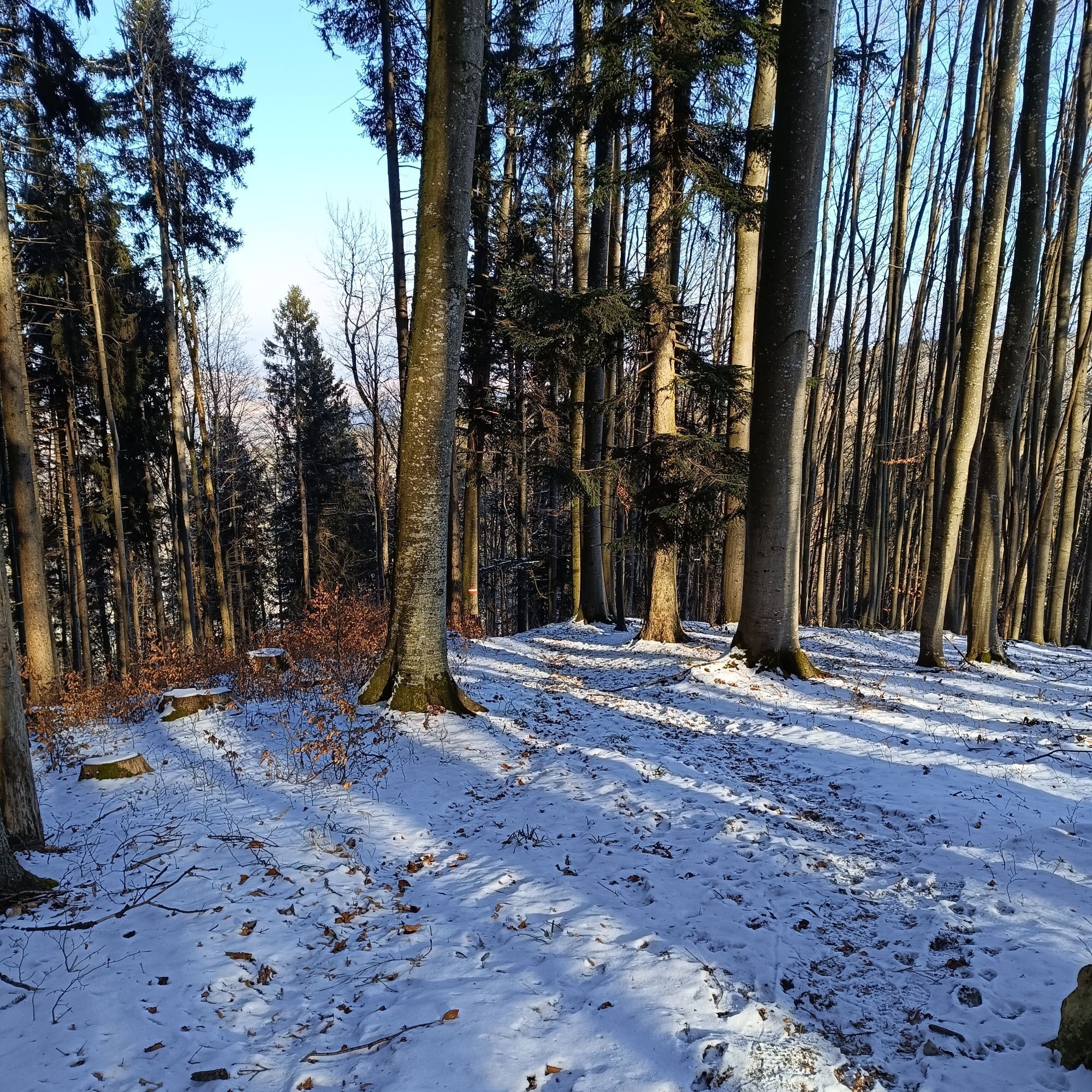
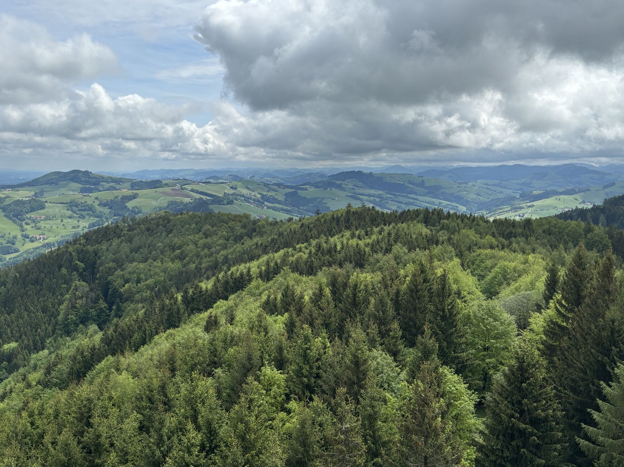
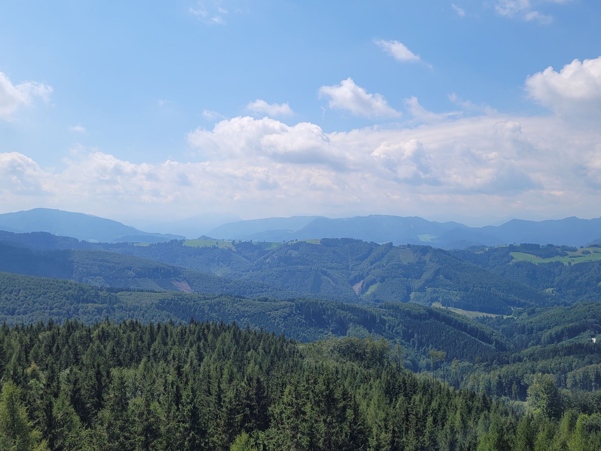
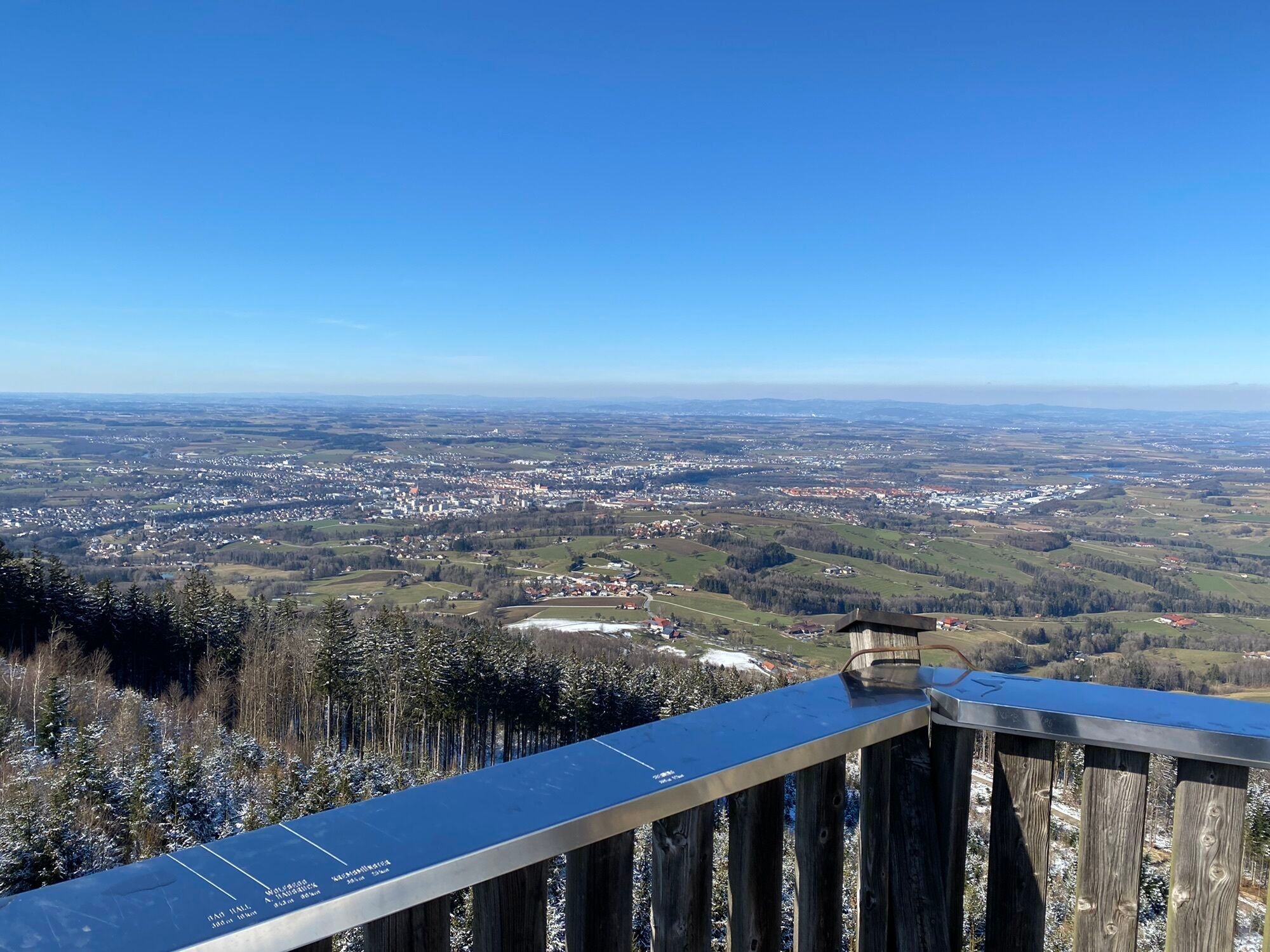
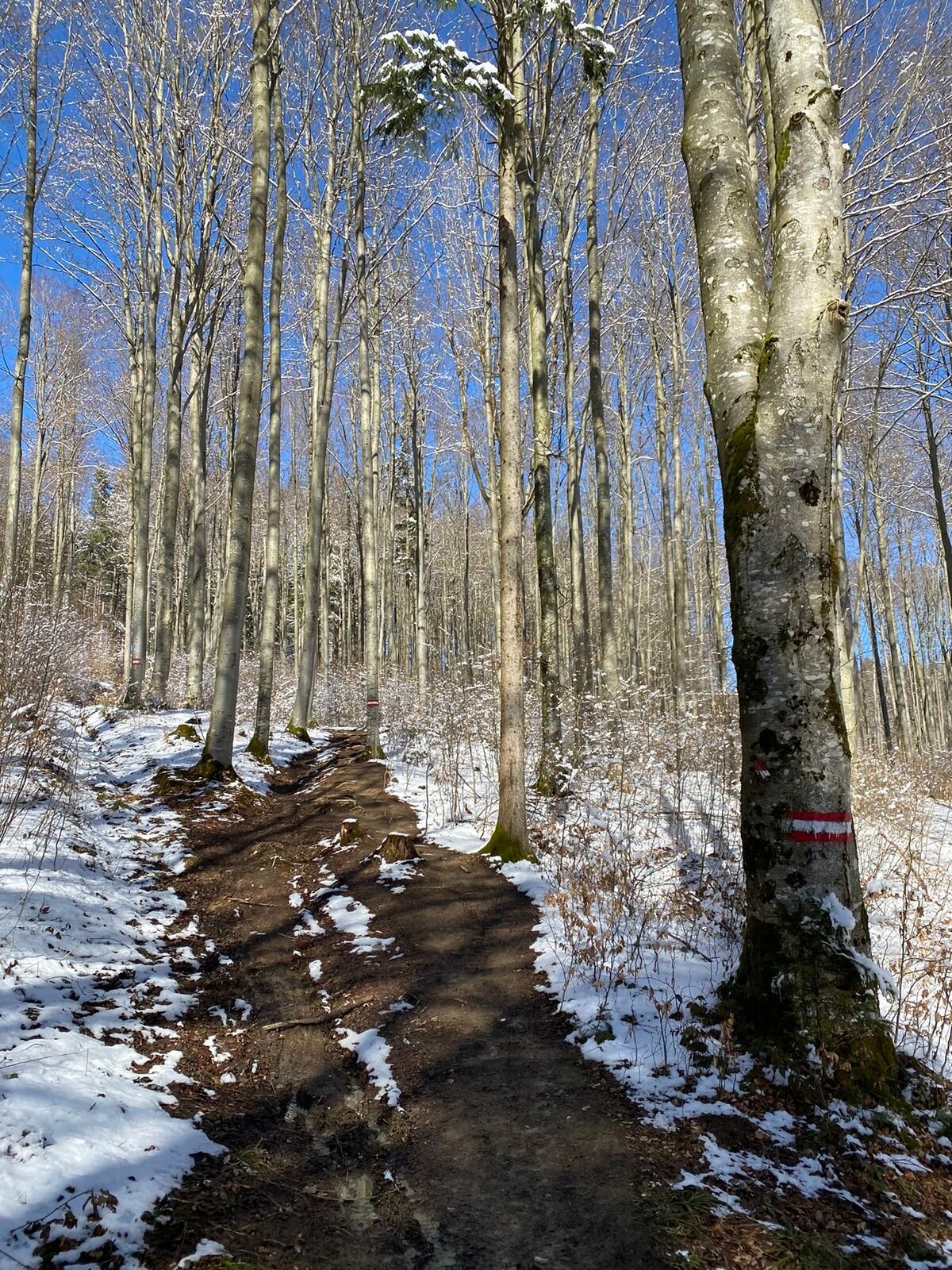
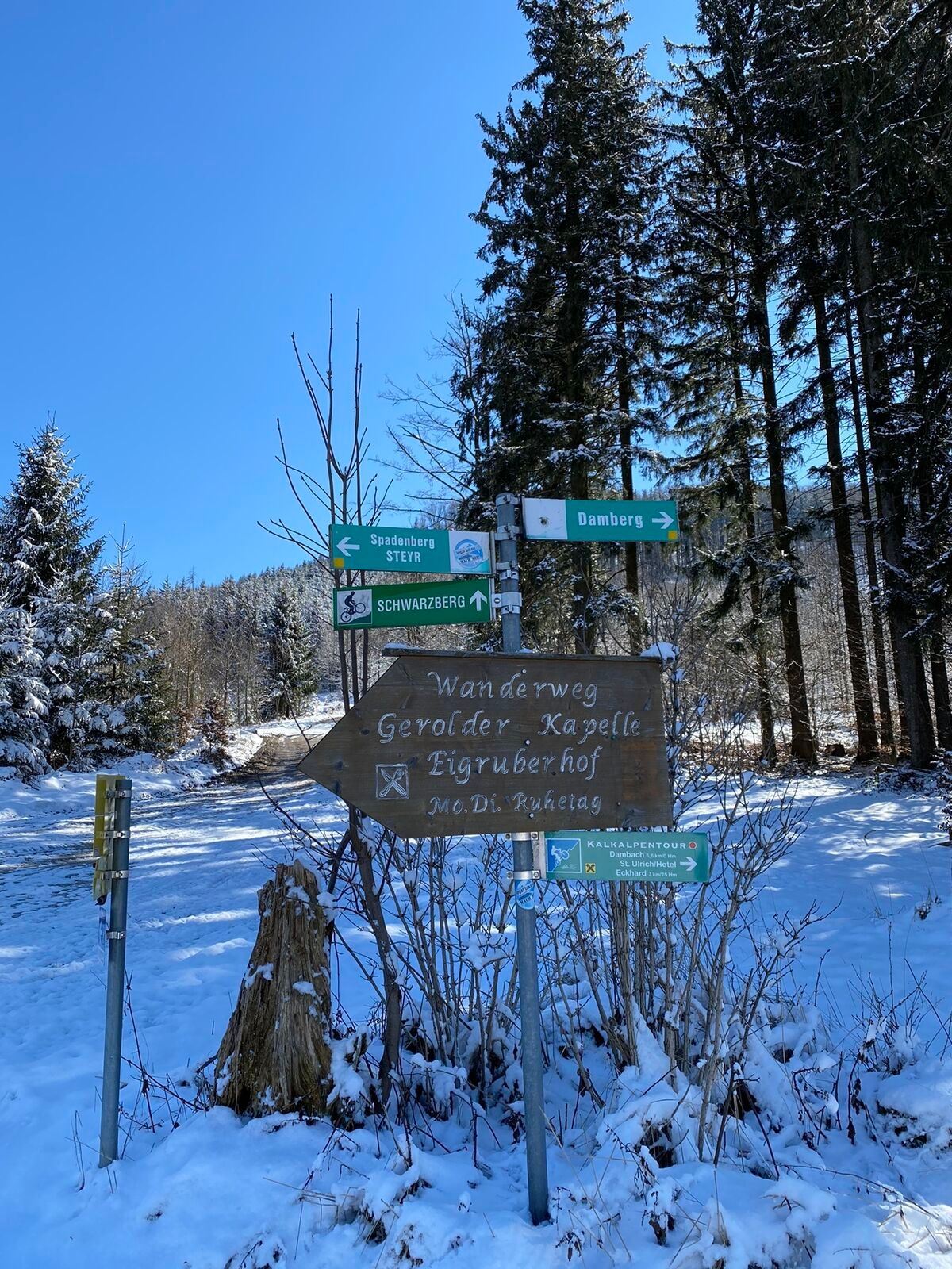
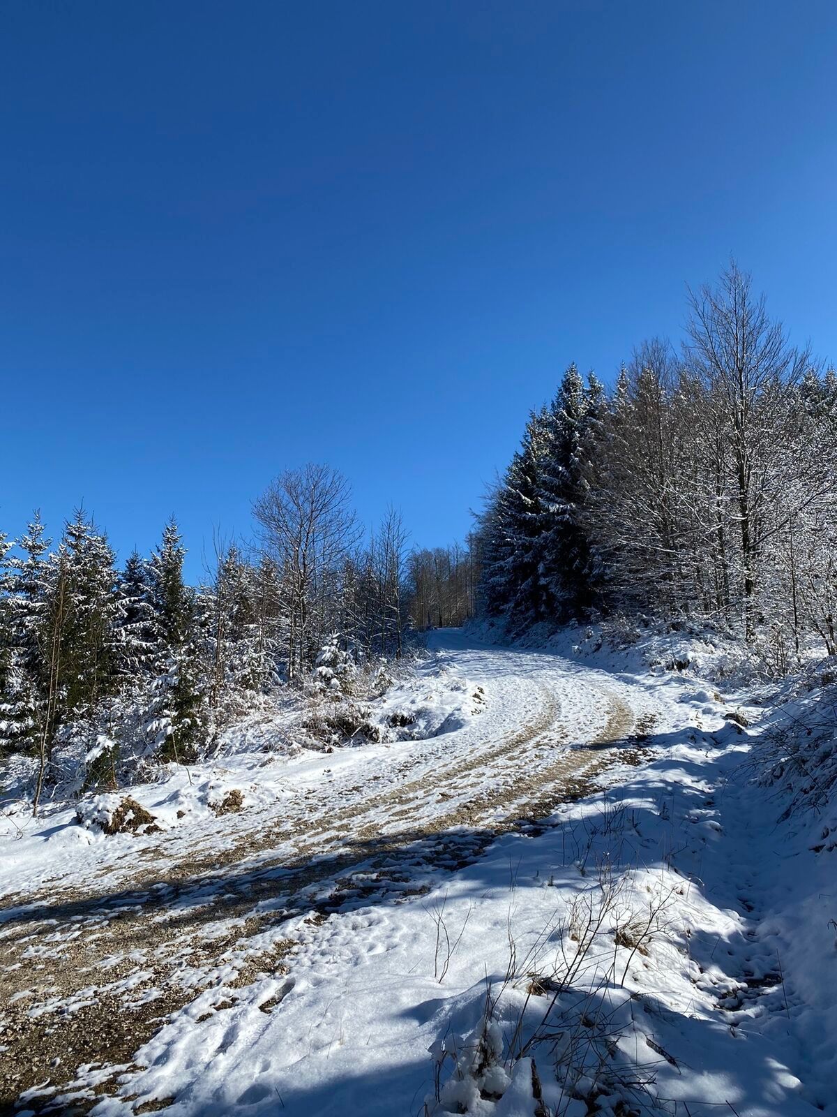
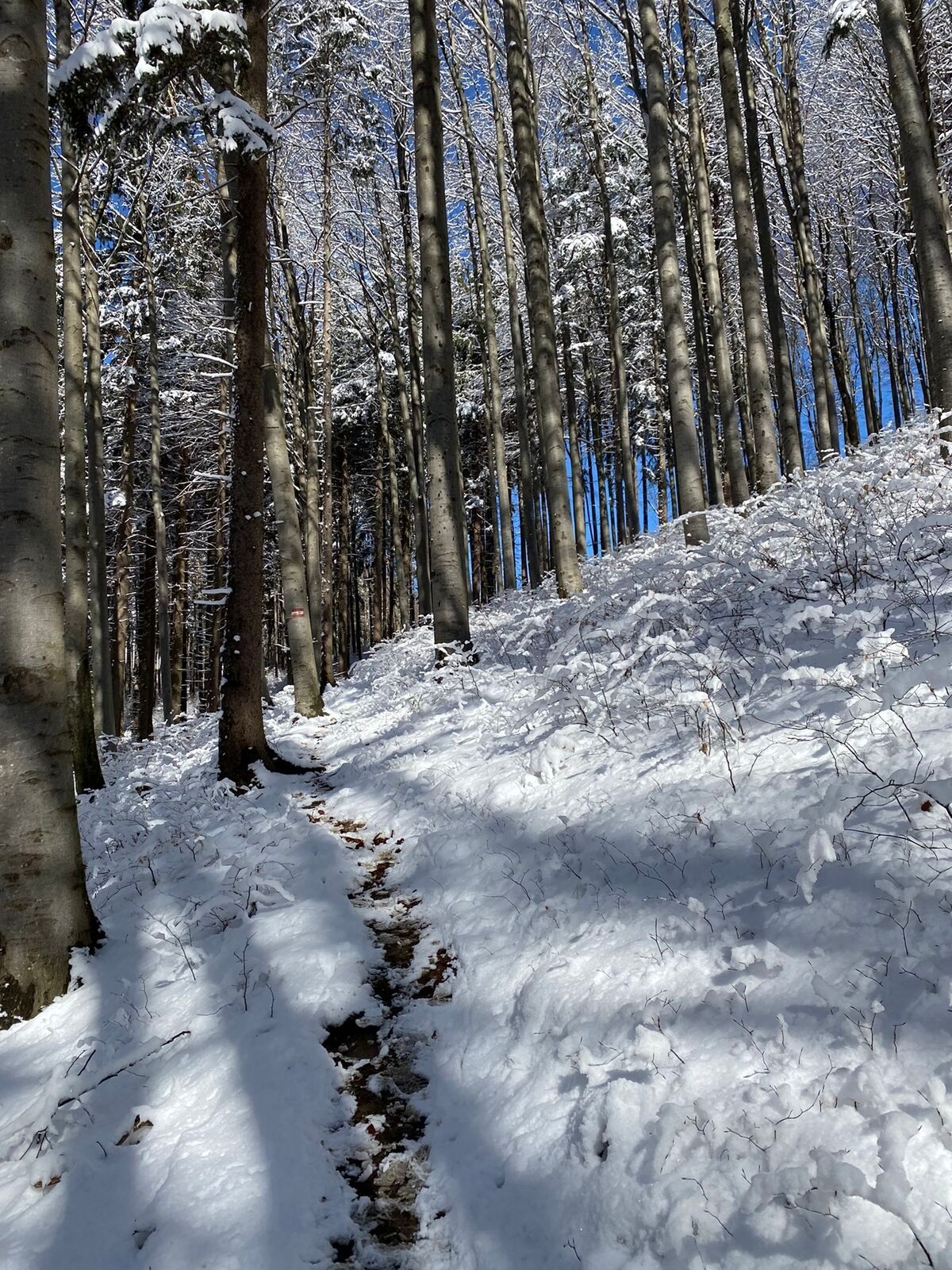
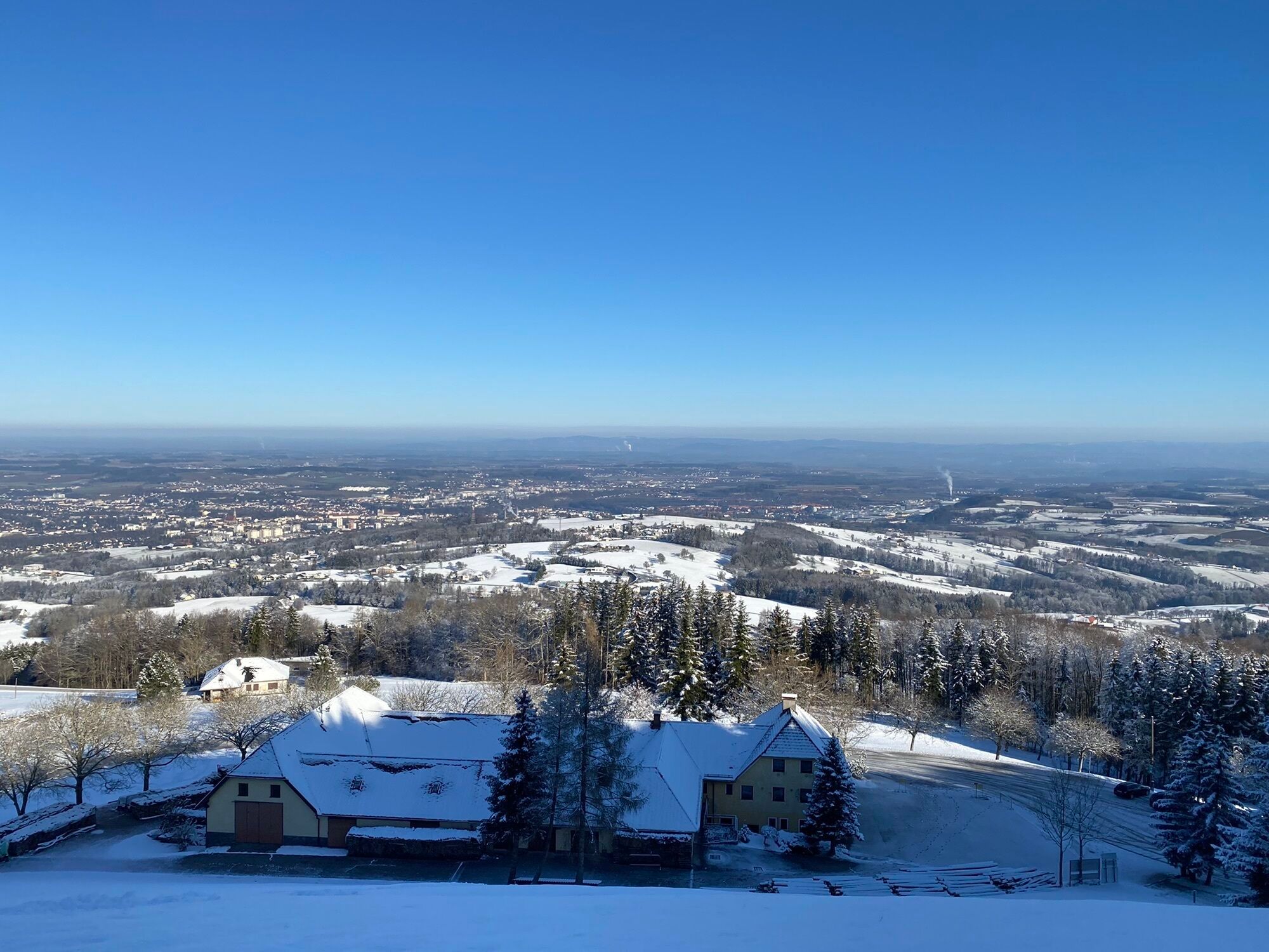
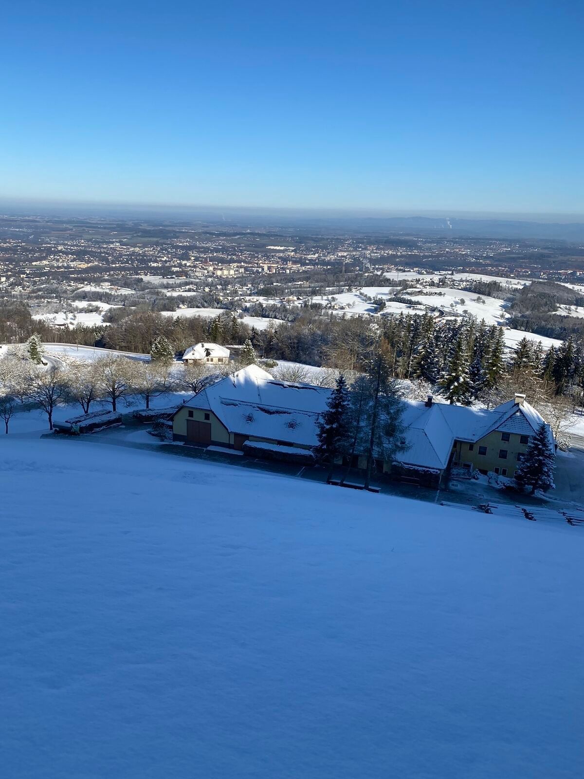
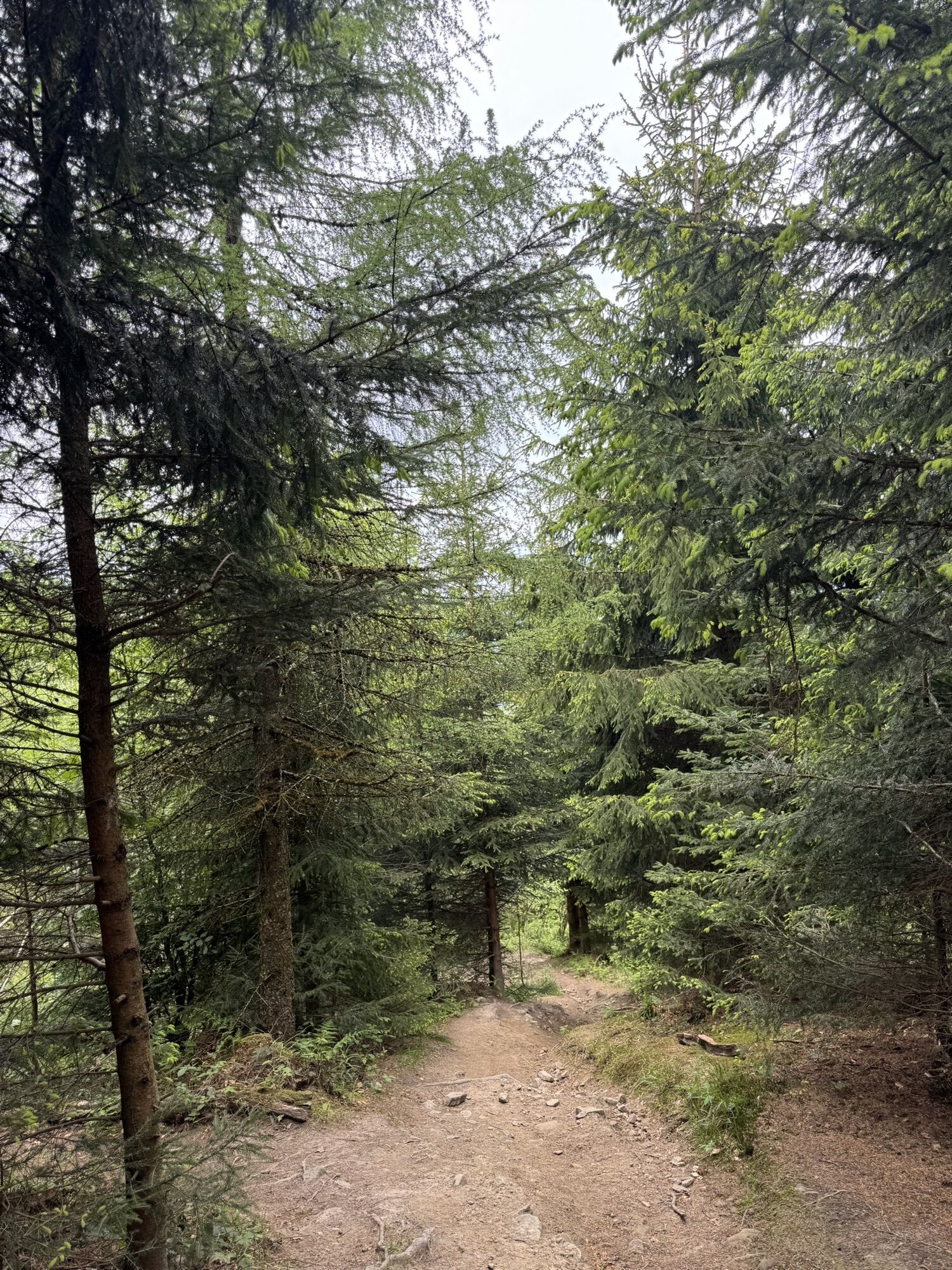
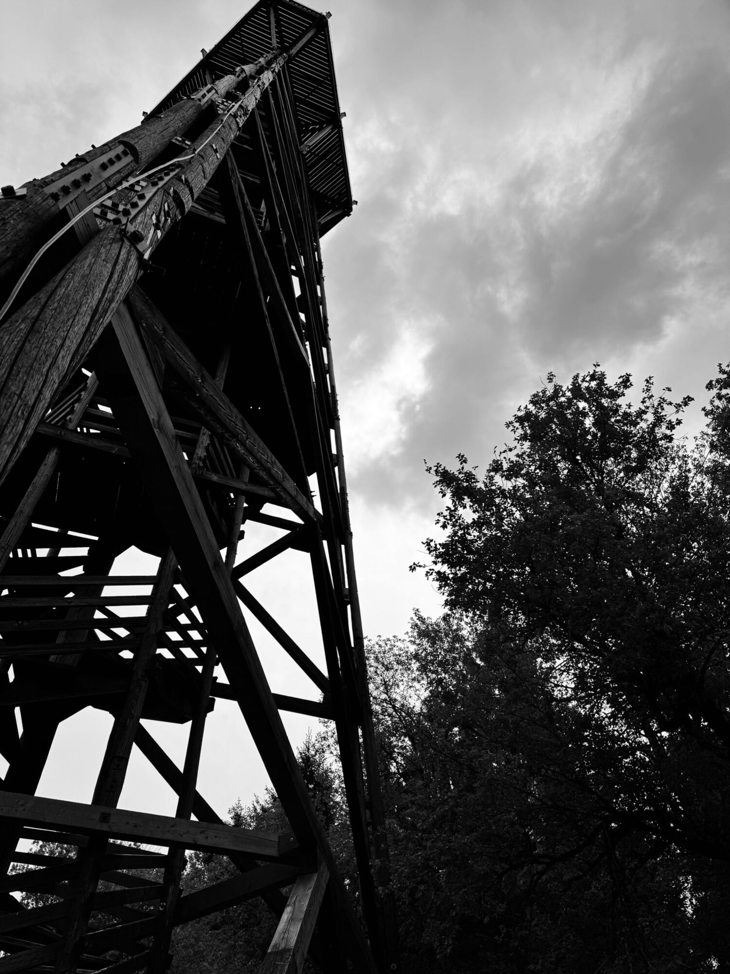
The hike on trails 06 and 04 starts at the town square in Steyr and leads over Grünmarkt and the Schönauer Bridge, upstream along the Enns to Isabellenhofweg and eastwards on trail 06 to St. Ulrich (approx. 4 km). The path climbs steeply past the Schoiber Inn to Damberg (807 m) with the observation tower offering a magnificent view of the foothills around Steyr. From here it descends to Hertlerwiese (666 m), then skirts Schwarzberg on a forest road to Willeitenberg (837 m), where it meets the Alpine long-distance trail 04 (Salzburg Mariazellerweg). Now it goes downhill to Wolfsgrub (695 m) and then over Plattenberg to Spadenberg, the highest point of this stage (1000 m). Along the ridge it leads to Geierkogel (886 m) and via the Glasner Hut to Maria Neustift (613 m).
From Steyr to Berggasthof Schoiber about 2 hours, another 3 hours to Plattenberg (Hinterplatten farm), from there another 3 hours to Maria Neustift (route via Spadenberg).
Section II
Maria Neustift - Konradsheim - Waidhofen an der Ybbs - approx. 18 km, 4.5 hours
All stages from Linz to Mariazell and information on accommodation and gastronomy at www.mariazellerweg.com


Kamery internetowe z trasy
Popularne wycieczki w okolicy
-
4,8
Steinerner Jäger (1185m) und Schieferstein (1206m) ab Parkplatz Hochhabichler
średniWędrówka 4,46 km -
4,5
Ternberg -Schoberstein
średniWędrówka 6,60 km -
4,3
Freithofberg
średniWędrówka 9,15 km -
4,7
Steinerner Jäger (1185m) und Schieferstein (1206m) ab Parkplatz Hack
ciężkiWędrówka 8,58 km -
4,8
Enns Active Trail Ternberg
średniWędrówka 9,61 km -
4,1
Sonnkogel (1177m) und Hohe Dirn (1134m) ab Parkplatz Hohe Dirn
średniWędrówka 7,71 km -
4,4
Kleine Gipfelrunde Glasenberg
światłoWędrówka 4,99 km -
3,8
Lindaumauer (1103 m)
Wędrówka 3,40 km -
4,5
Lindaumauer, Maria Neustift
średniWędrówka 5,53 km -
4,9
Dambergwarte
światłoWędrówka 3,28 km
Wędrówki i tropienie


Nie przegap ofert i inspiracji na następne wakacje
Twój adres e-mail została dodana do listy mailingowej.