
Bike loop 50 - Saint-Dizier-Leyrenne and the Thaurion valley
średni
Pobierz tę trasę na swój telefon komórkowy
Bike loop 50 - Saint-Dizier-Leyrenne and the Thaurion valley
średni
Droga rowerowa
19,14
km
Zeskanuj kod QR i rozpocznij nawigację w aplikacji bergfex.


Wędrówki i tropienie




Bike loop 50 - Saint-Dizier-Leyrenne and the Thaurion valley
średni
Odległość
19,1
km
Czas trwania
01:10
h
Ascent
226
hm
Poziom morza
399 -
514
m

Nawiguj po trasie w aplikacji
Zainstaluj aplikację za darmo i śledź trasę dzięki nawigacji GPS i funkcji śledzenia.
Skorzystaj już teraz z funkcji „ bergfex ” w aplikacji
Zeskanuj kod QR za pomocą aparatu
Po zainstalowaniu aplikacji treść otworzy się od razu. Jeśli jeszcze nie masz tej aplikacji, zostaniesz przekierowany do strony, z której możesz ją bezpłatnie pobrać.
Poziom trudności: 2
Ścieżka do pobrania
Bike loop 50 - Saint-Dizier-Leyrenne and the Thaurion valley
średni
Droga rowerowa
19,14
km
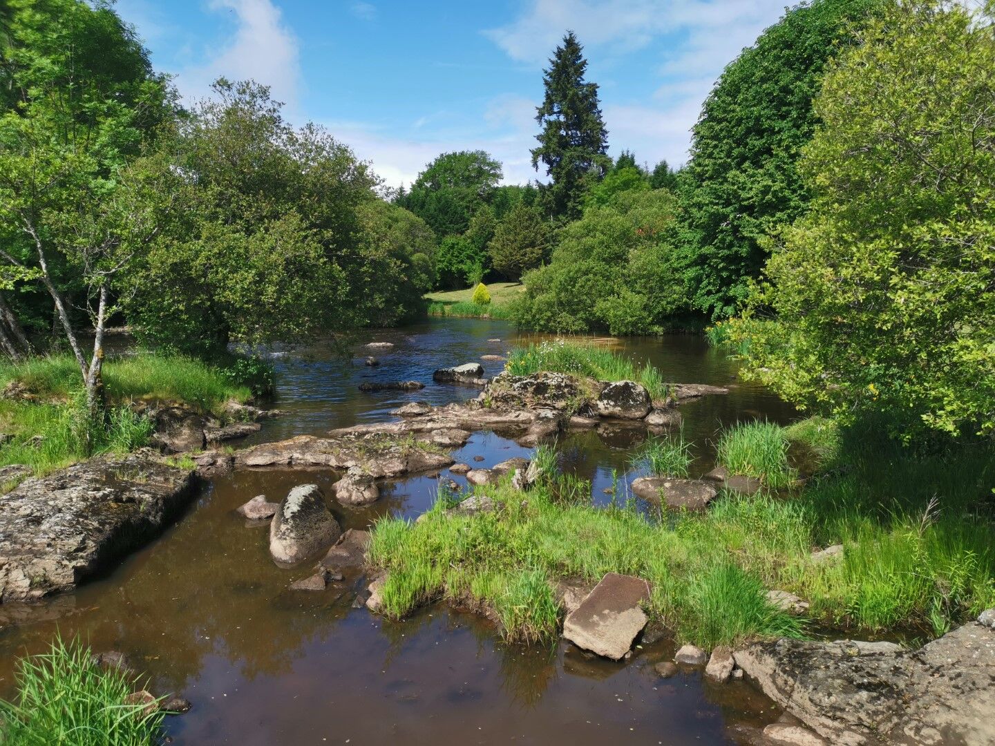
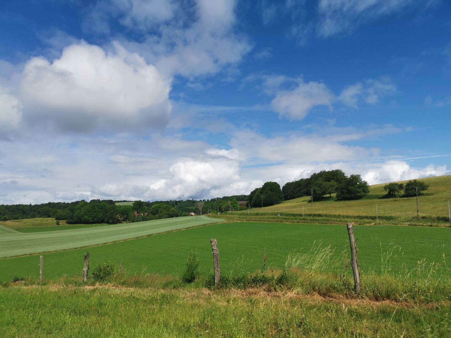
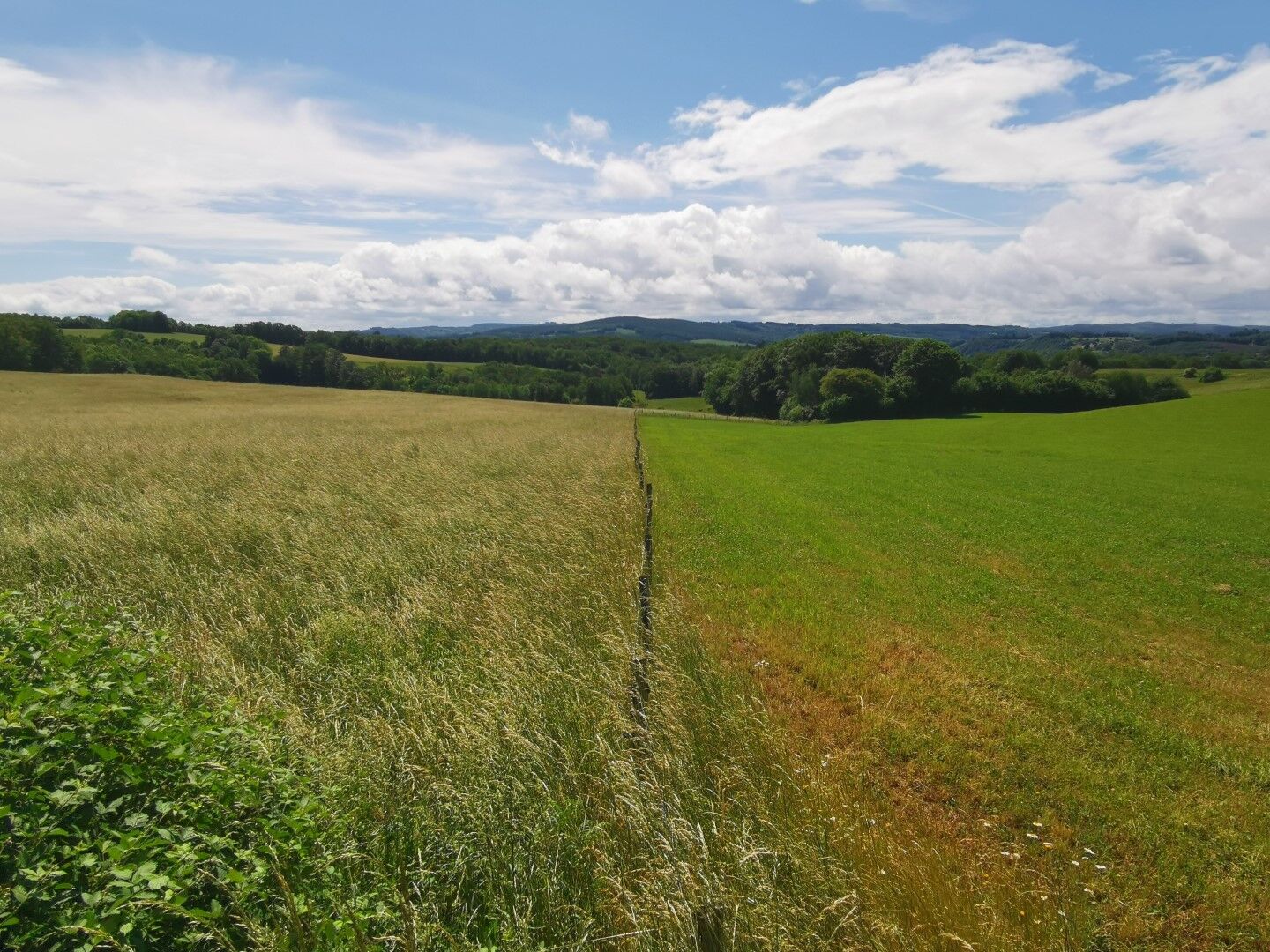
A 19 km route starting from the municipality of Saint-Dizier-Masbaraud. Without too much difficulty, you will face some climbs with a total elevation gain of just over 309 m.
Trasa
Église Saint-Dizier
(425 m)
Miejsce kultu
0,0 km
Le Pont Rouge
(404 m)
Rozliczenie
0,6 km
Rapissat
(497 m)
Rozliczenie
5,3 km
Les Grises
(495 m)
Szczyt
7,5 km
La Valette
(446 m)
Rozliczenie
16,4 km
Le Pont Rouge
(404 m)
Rozliczenie
18,4 km
Église Saint-Dizier
(425 m)
Miejsce kultu
19,1 km
Trasa
Bike loop 50 - Saint-Dizier-Leyrenne and the Thaurion valley
średni
Droga rowerowa
19,14
km
Saint-Dizier-Masbaraud
(427 m)
Wioska
0,0 km
Église Saint-Dizier
(425 m)
Miejsce kultu
0,0 km
Lotissement Soleil Levant
(416 m)
Rozliczenie
0,3 km
Le Pont Rouge
(404 m)
Rozliczenie
0,6 km
Le Montabarot
(444 m)
Rozliczenie
1,1 km
Pommier
(473 m)
Rozliczenie
2,5 km
La Croix Maucreix
(503 m)
Korytarz/teren
4,4 km
Rapissat
(497 m)
Rozliczenie
5,3 km
Sagnat-Forêt
(496 m)
Korytarz/teren
6,9 km
Les Grises
(495 m)
Szczyt
7,5 km
Bosmoreau-les-Mines
(439 m)
Wioska
11,4 km
Pommerolles
(451 m)
Rozliczenie
15,5 km
La Valette
(446 m)
Rozliczenie
16,4 km
Le Moulin de Peyrat
(411 m)
Rozliczenie
17,6 km
Le Pont Rouge
(404 m)
Rozliczenie
18,4 km
Lotissement Soleil Levant
(416 m)
Rozliczenie
18,7 km
Église Saint-Dizier
(425 m)
Miejsce kultu
19,1 km
Saint-Dizier-Masbaraud
(427 m)
Wioska
19,1 km
Autor
Dostarczone przez Tourisme Creuse
Wycieczkę Bike loop 50 - Saint-Dizier-Leyrenne and the Thaurion valley zapewnia outdooractive.com.


Sprzęt
Remember your helmet and protective gear.
Instrukcje bezpieczeństwa
European emergency number: 112 For people with hearing or speech difficulties: 114 by SMS
Informacje o przyjeździe
Parking
Free parking on site.
Dodatkowe informacje i wskazówki
Poziom trudności
2
Wskazówki
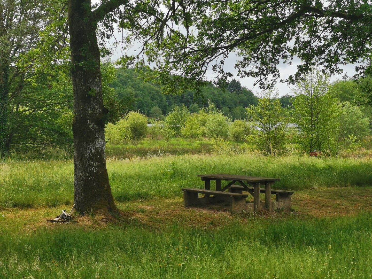
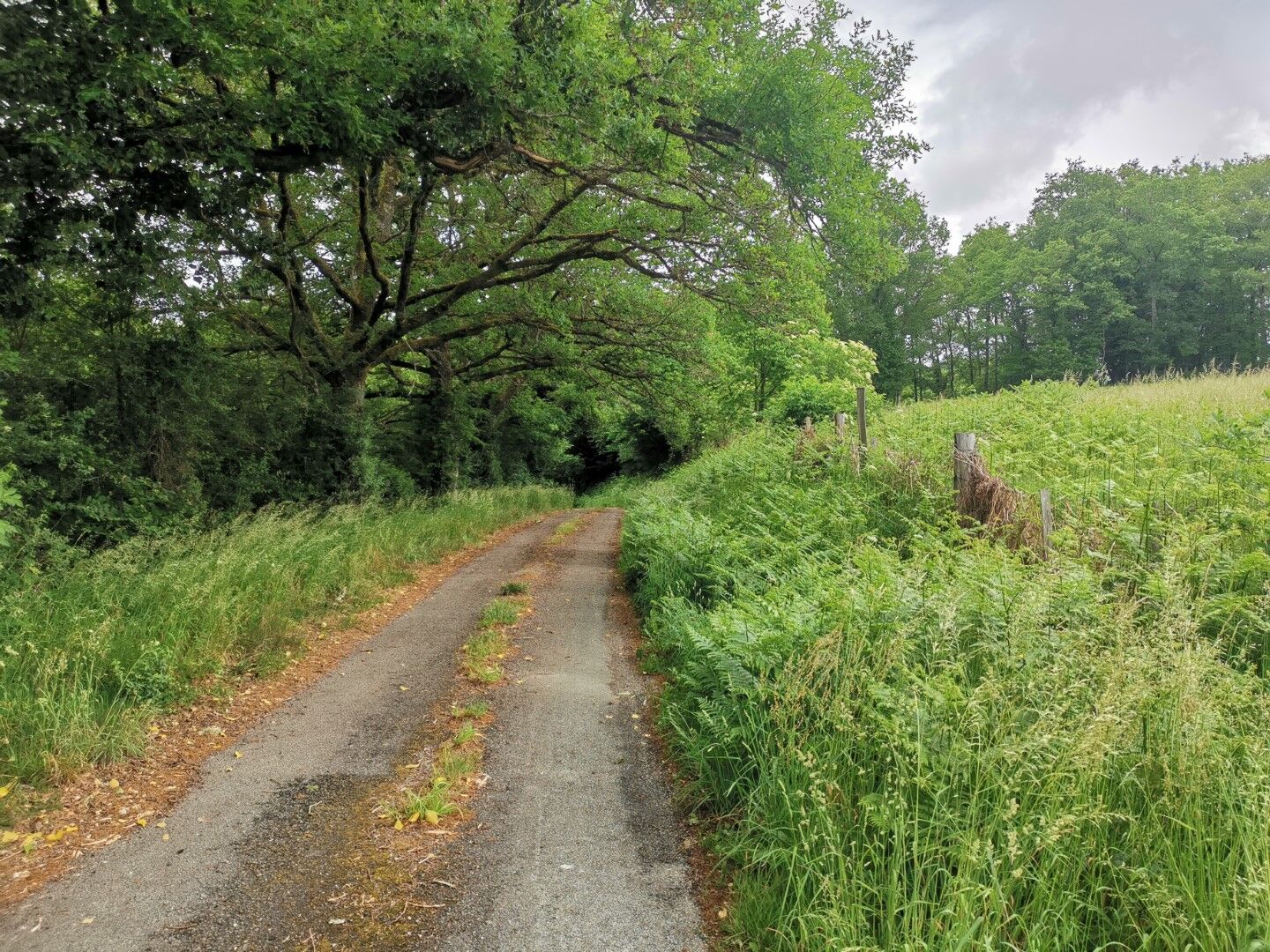
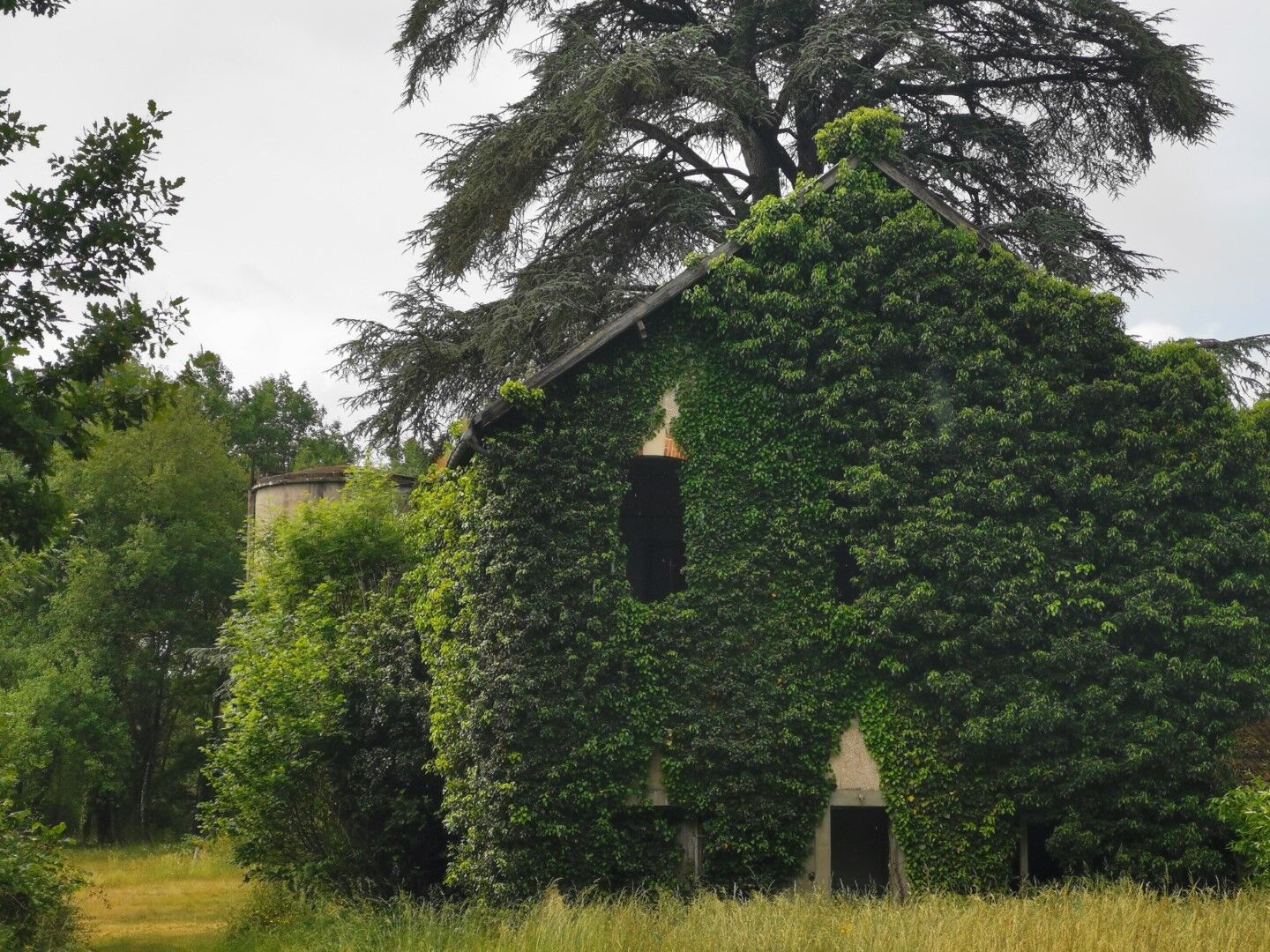
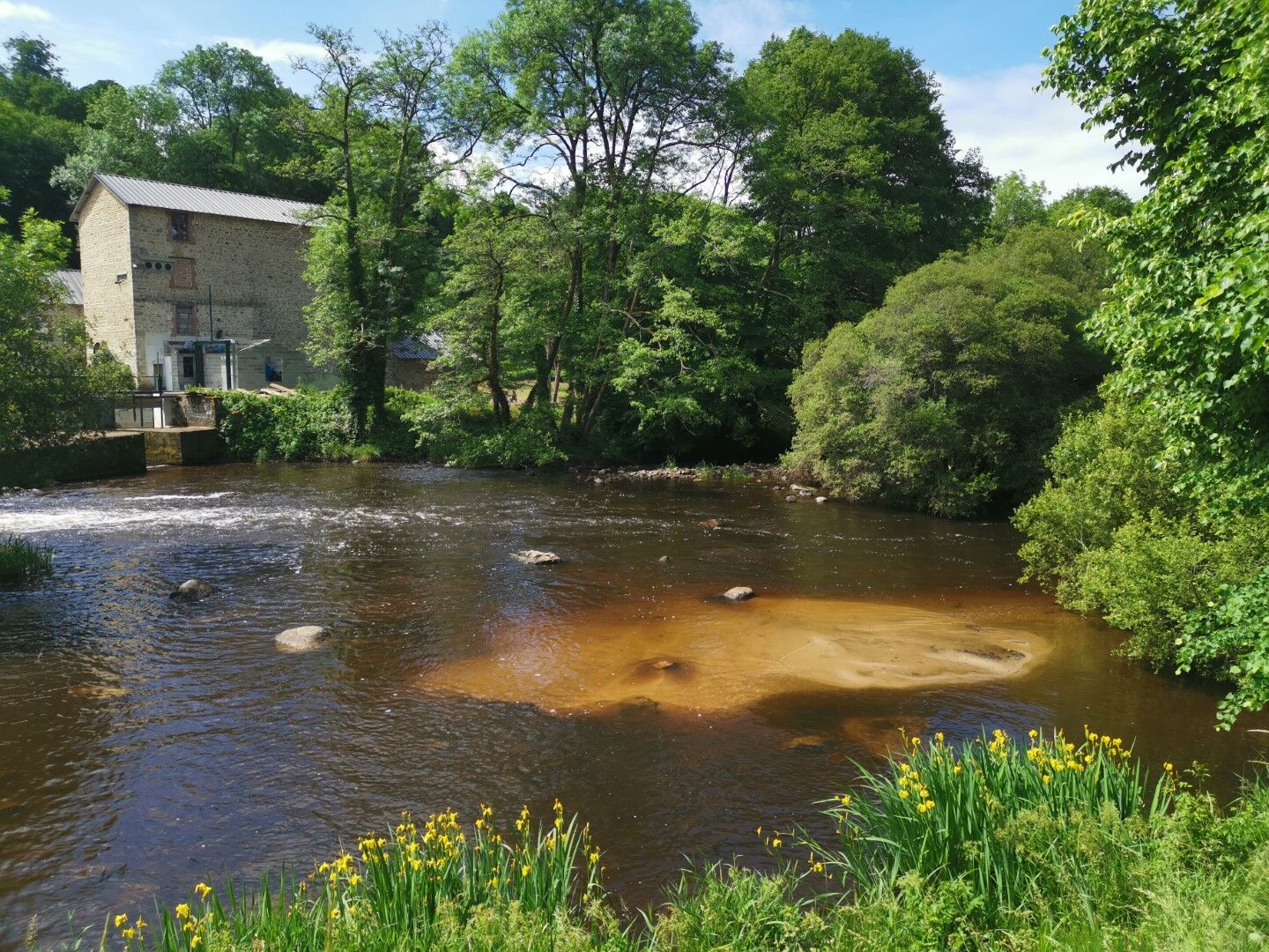
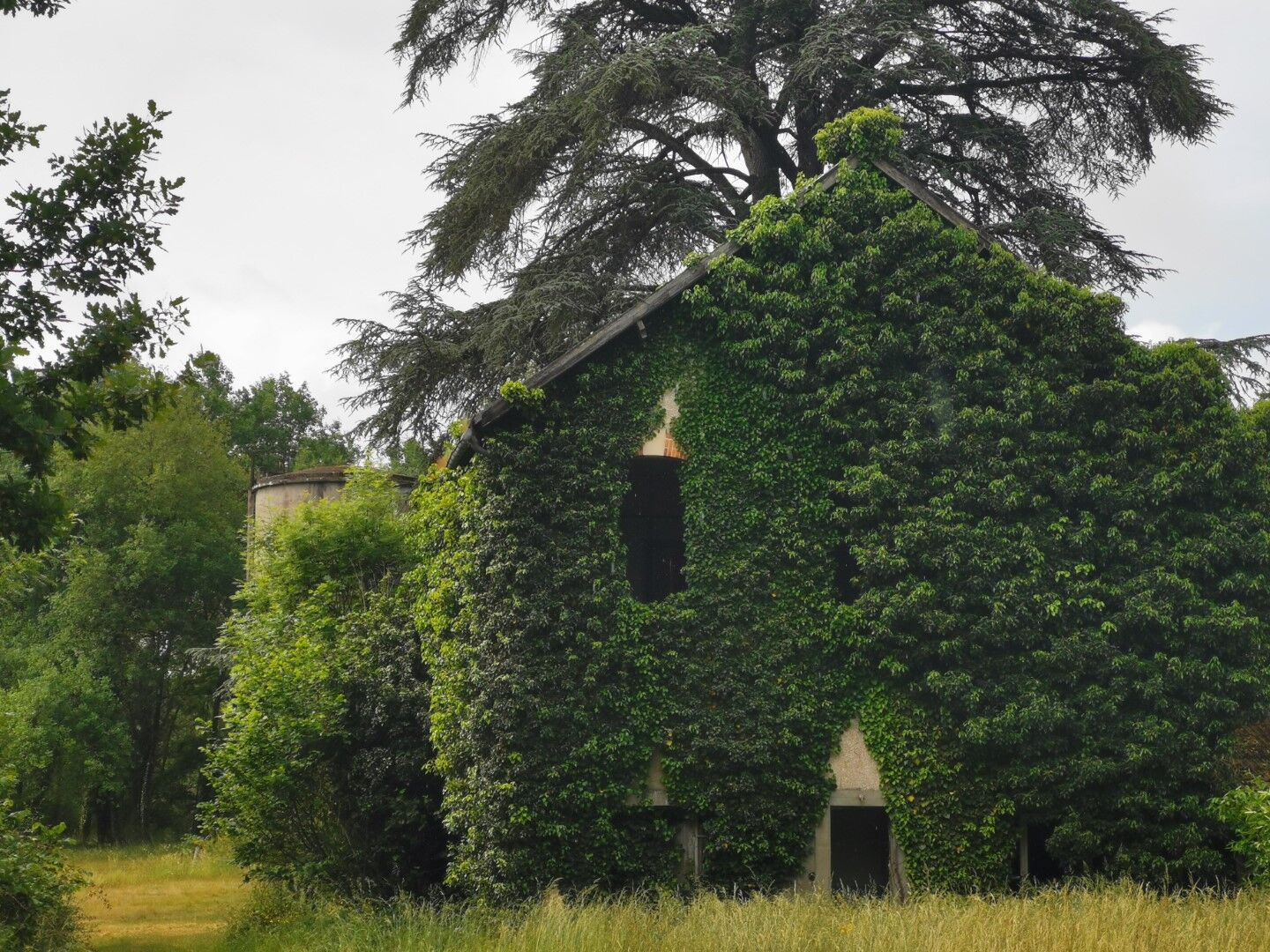
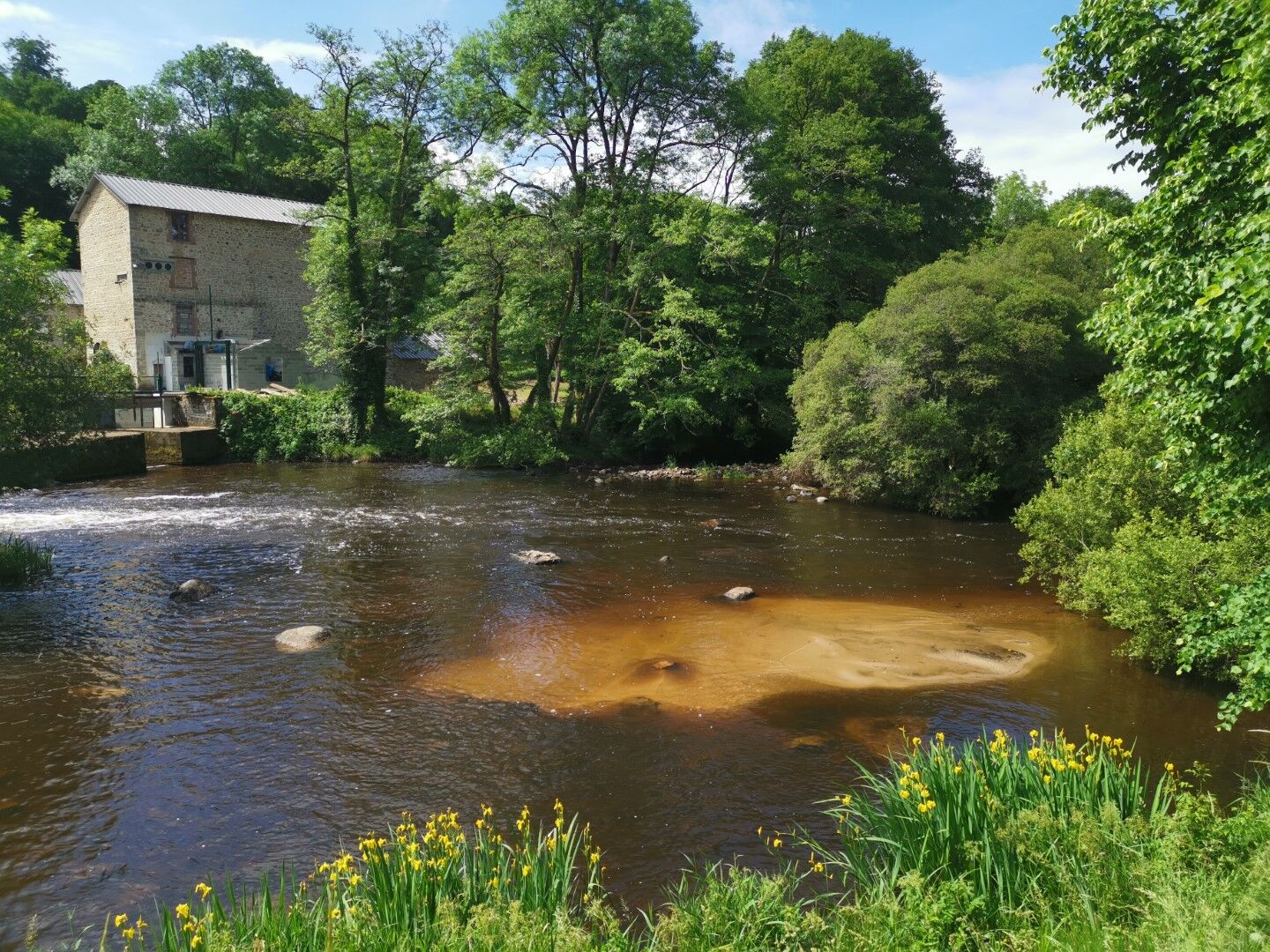
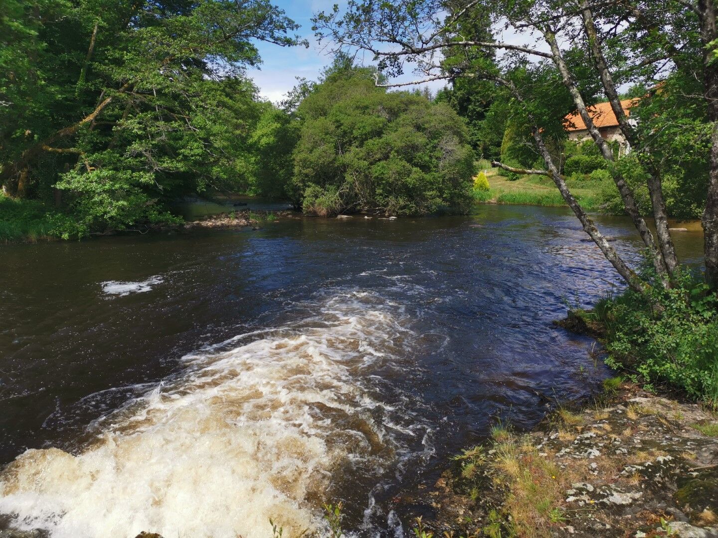
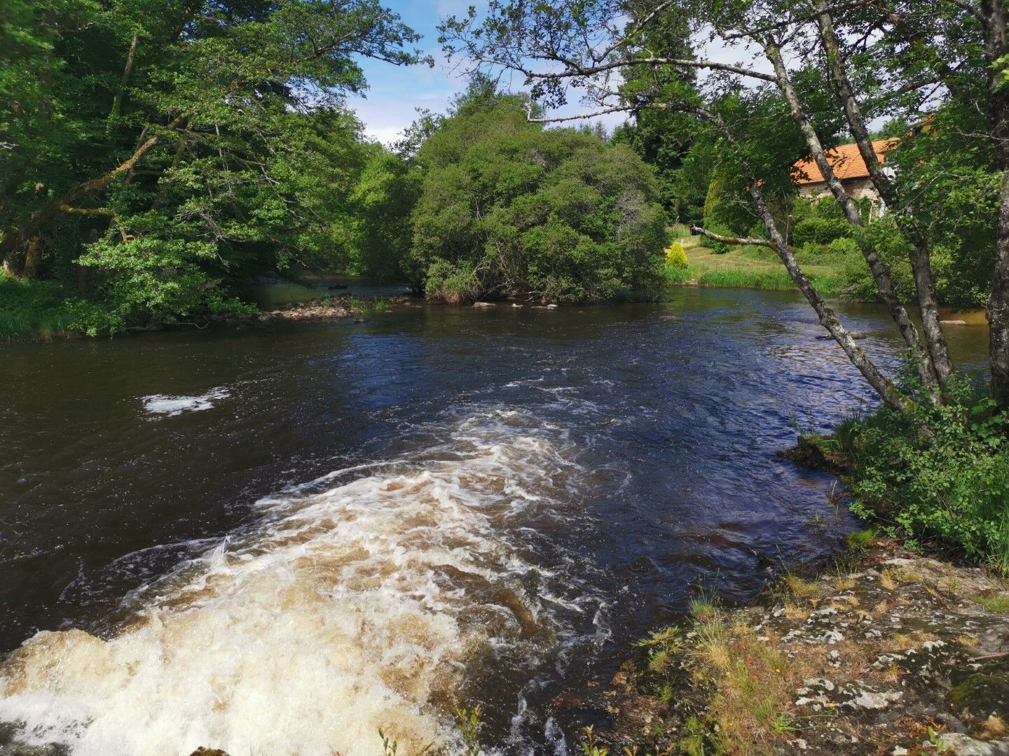
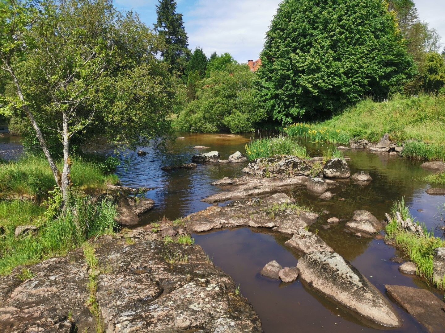
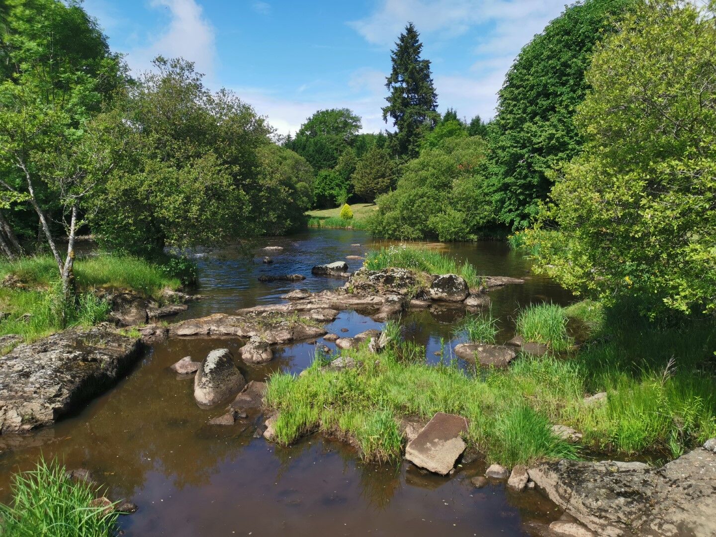
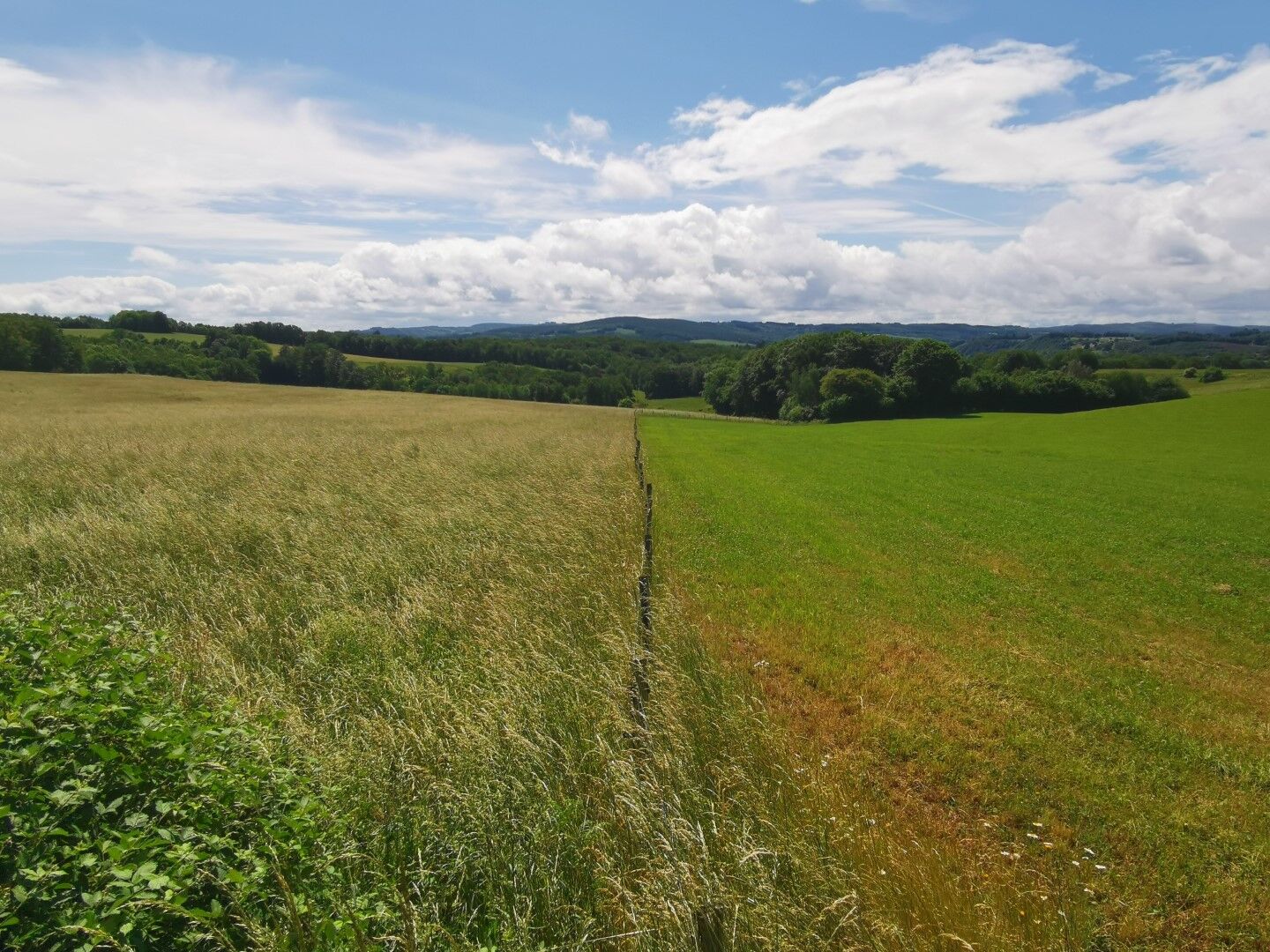
A dive into an ocean of greenery with magnificent viewpoints.
Nie ma jeszcze recenzji
Popularne wycieczki w okolicy
-
GRP des Monts de Guéret - Wolf Loop
ciężkidługodystansowy szlak pieszy 48,1 km -
Trail Les rochers de Chabrières
średniTrailrunning 20,3 km -
Le Puy de Roche-guette CM7
średniMountainbike 16,7 km -
Circuit N°63 CC : Sentier "Histoire et Patrimoine"
ciężkiJazda konna 27,6 km -
Circuit N°63 CC : Sentier "Histoire et Patrimoine" - Variante Est
średniJazda konna 18,6 km -
Circuit Pédestre N°56 : "Sentier de découverte des Champs de pierres et cascades d'Augerolles"
średniWędrówka 2,78 km -
Circuit pédestre N°58 : "L'Or des Gaulois"
światłoWędrówka 11,2 km -
On the Trails of Martin Nadaud
światłoWędrówka 9,97 km -
Creuse Route / South Section: Châtelus le Marcheix > Royère de Vassivière
światłoKolarstwo długodystansowe 54,8 km -
Gravel rouge n°3 - "L'enjambée du Thaurion"
ciężkiMountainbike 51,9 km
Wędrówki i tropienie

Ponad 550.000 propozycji wycieczek, szczegółowe mapy i intuicyjny planer tras sprawiają, że aplikacja jest niezbędna dla wszystkich entuzjastów przyrody.

Nie przegap ofert i inspiracji na następne wakacje
Zapisz się do newslettera
Błąd
Wystąpił błąd. Spróbuj ponownie.
Dziękujemy za rejestrację
Twój adres e-mail została dodana do listy mailingowej.
Wycieczki po całej Europie
Austria
Szwajcaria
Niemcy
Włochy
Słowenię
Francja
Holandia
Belgia
Polska
Liechtenstein
Czechy
Słowacja
Hiszpania
Chorwacja
Bośnia i Hercegowina
Luksemburg
Andorra
Portugalia
Islandia
Wielka Brytania
Irlandia
Grecja
Albania
Macedonia Północna
Malta
Norwegia
Czarnogóra
Mołdawia
Kosowo
Węgry
San Marino
Rumunia
Estonia
Łotwa
Białoruś
Cypr
Litwa
Serbia
Bułgaria
Monako
Dania
Szwecja
Finlandia





