







»tut gut« Wanderweg Poysdorf | Route 2
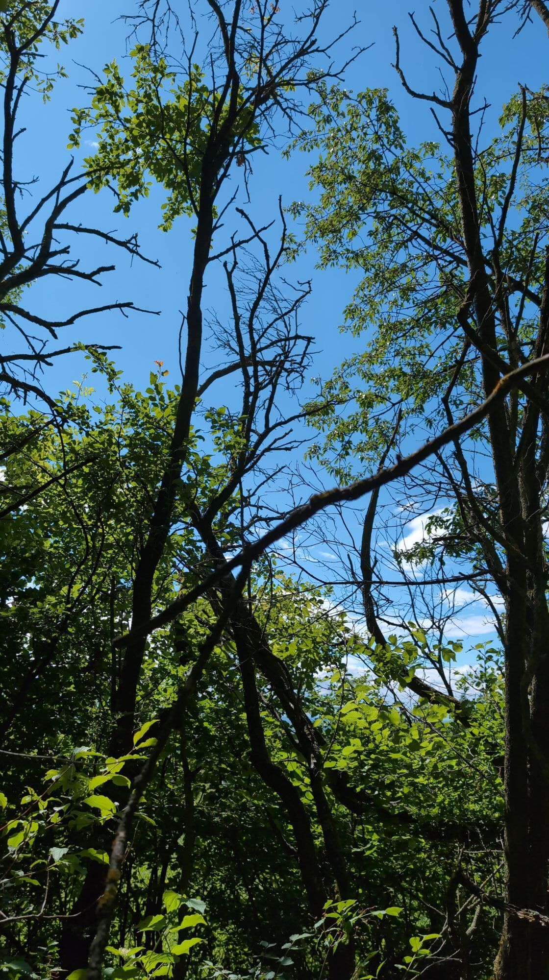
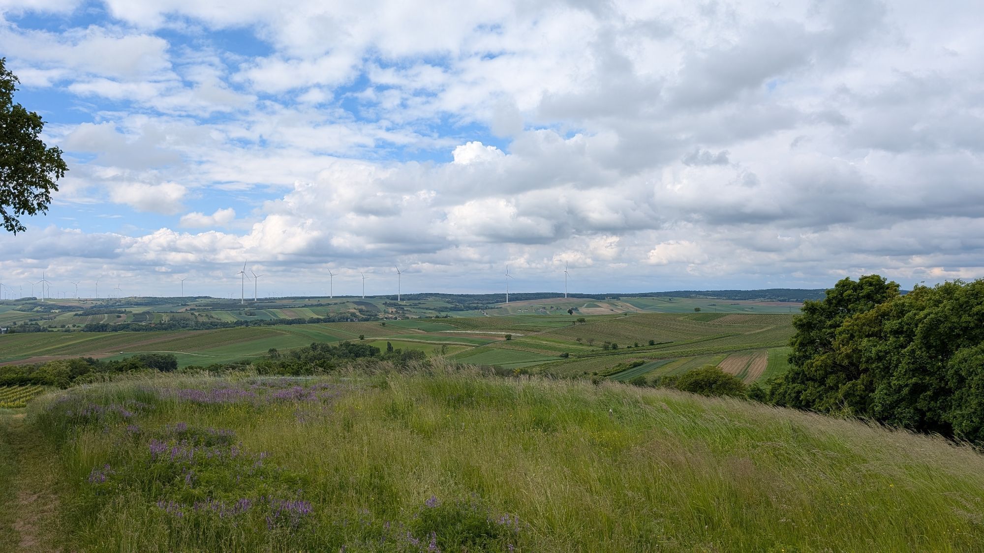
Poysdorf - Austria's wine town - lies in the heart of the Weinviertel. Enjoy the hiking trails in the Weinviertel cultural landscape with its wonderful hills full of vineyards, cereals, sunflowers and...
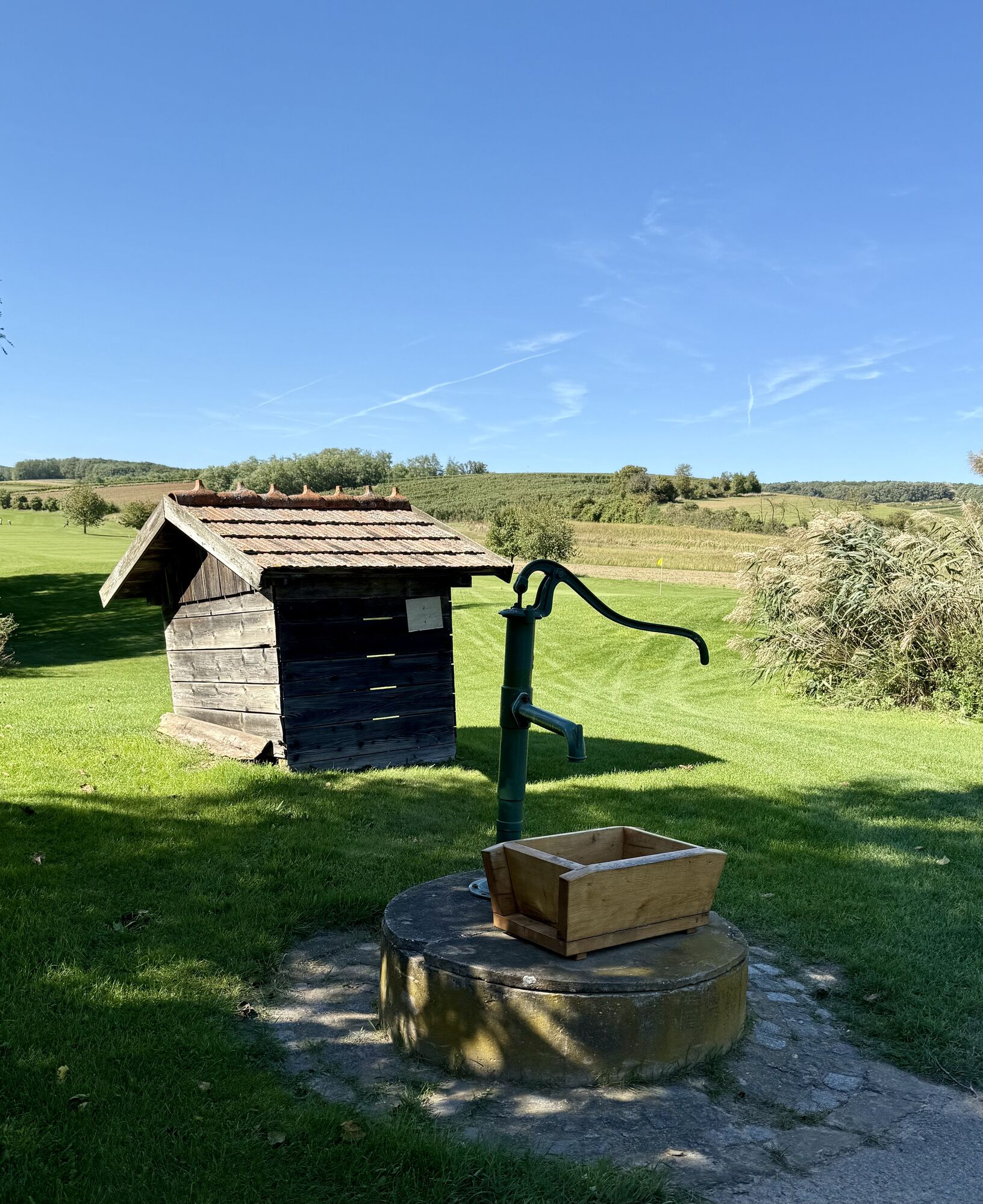
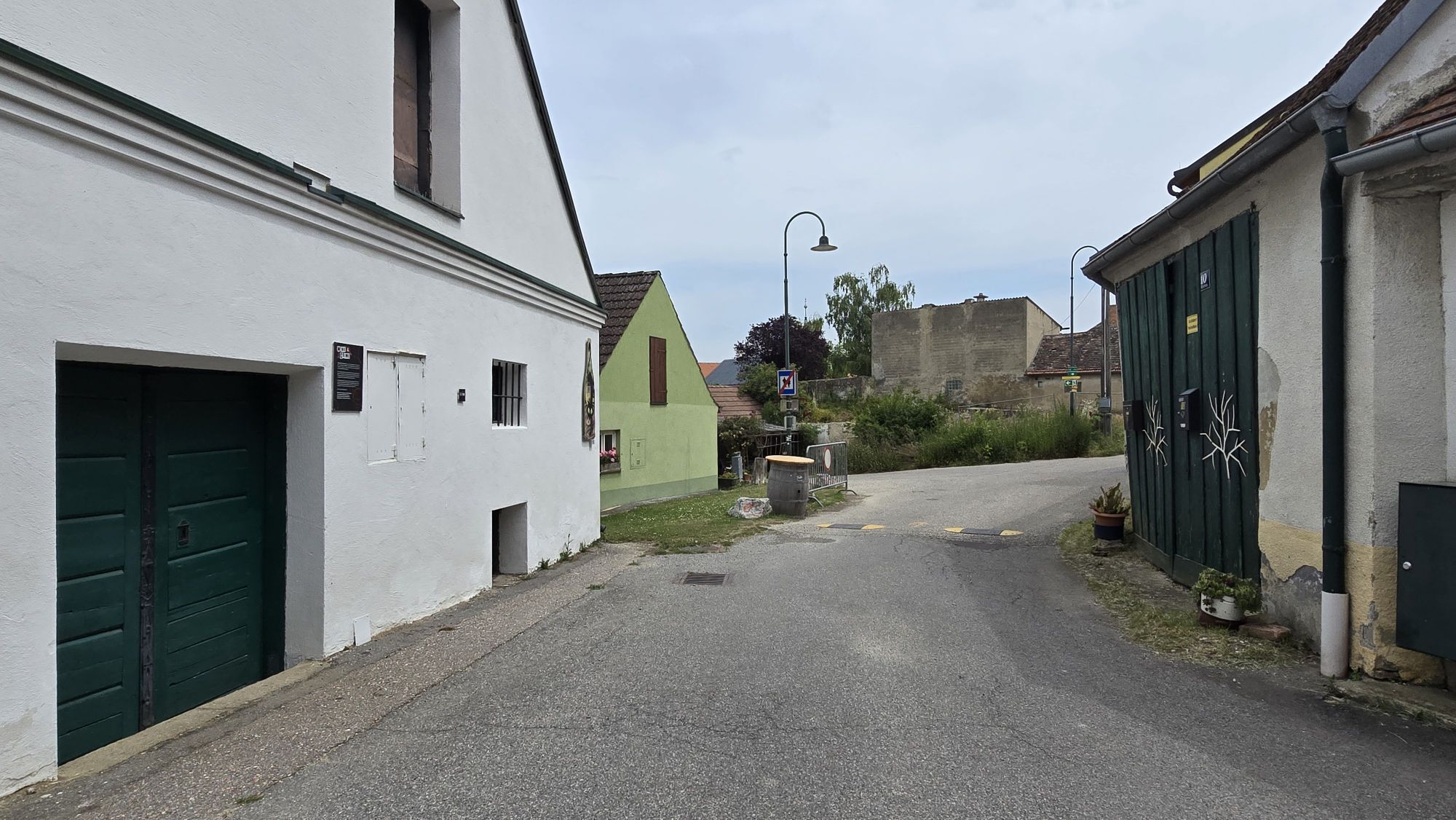
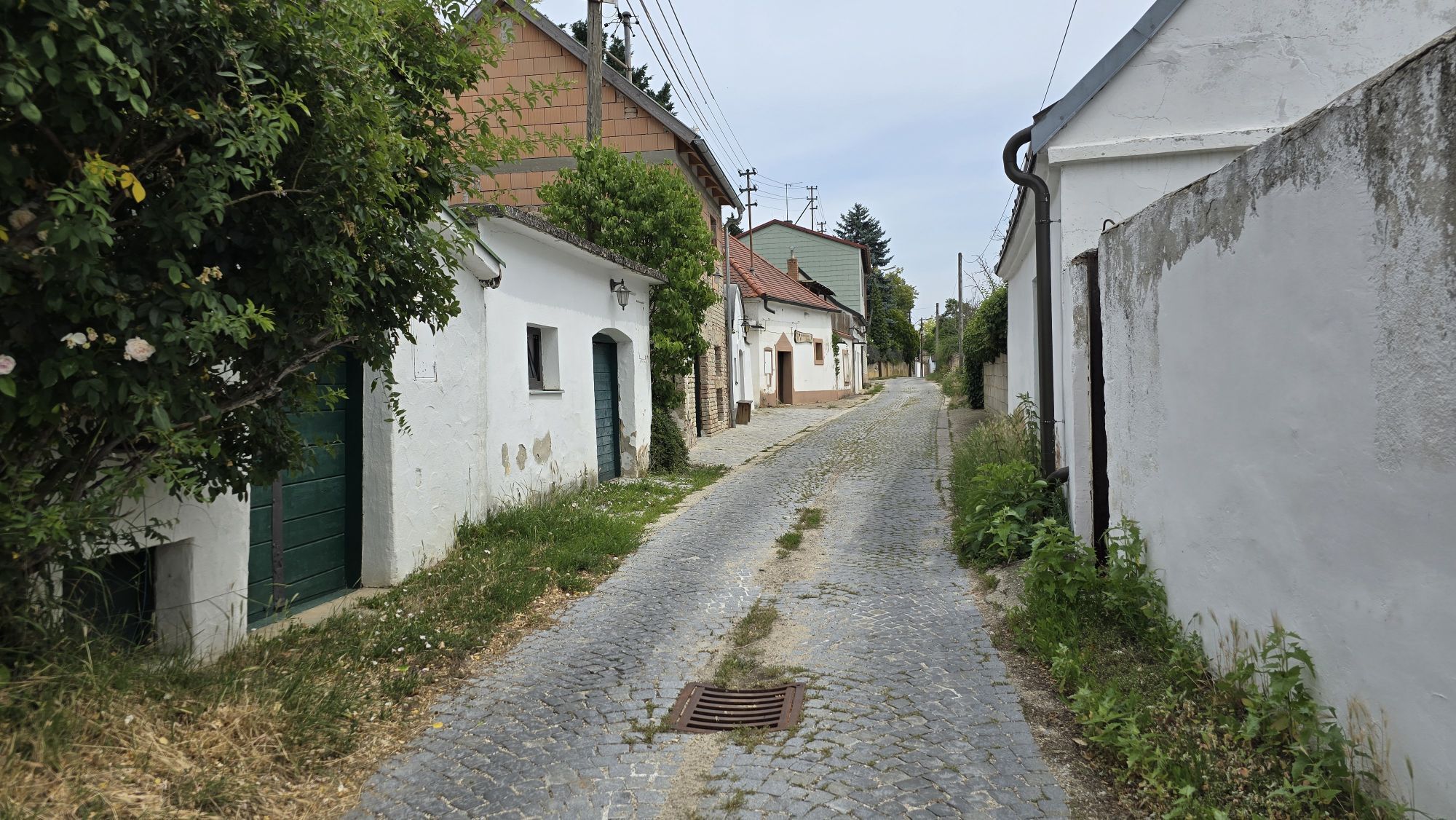
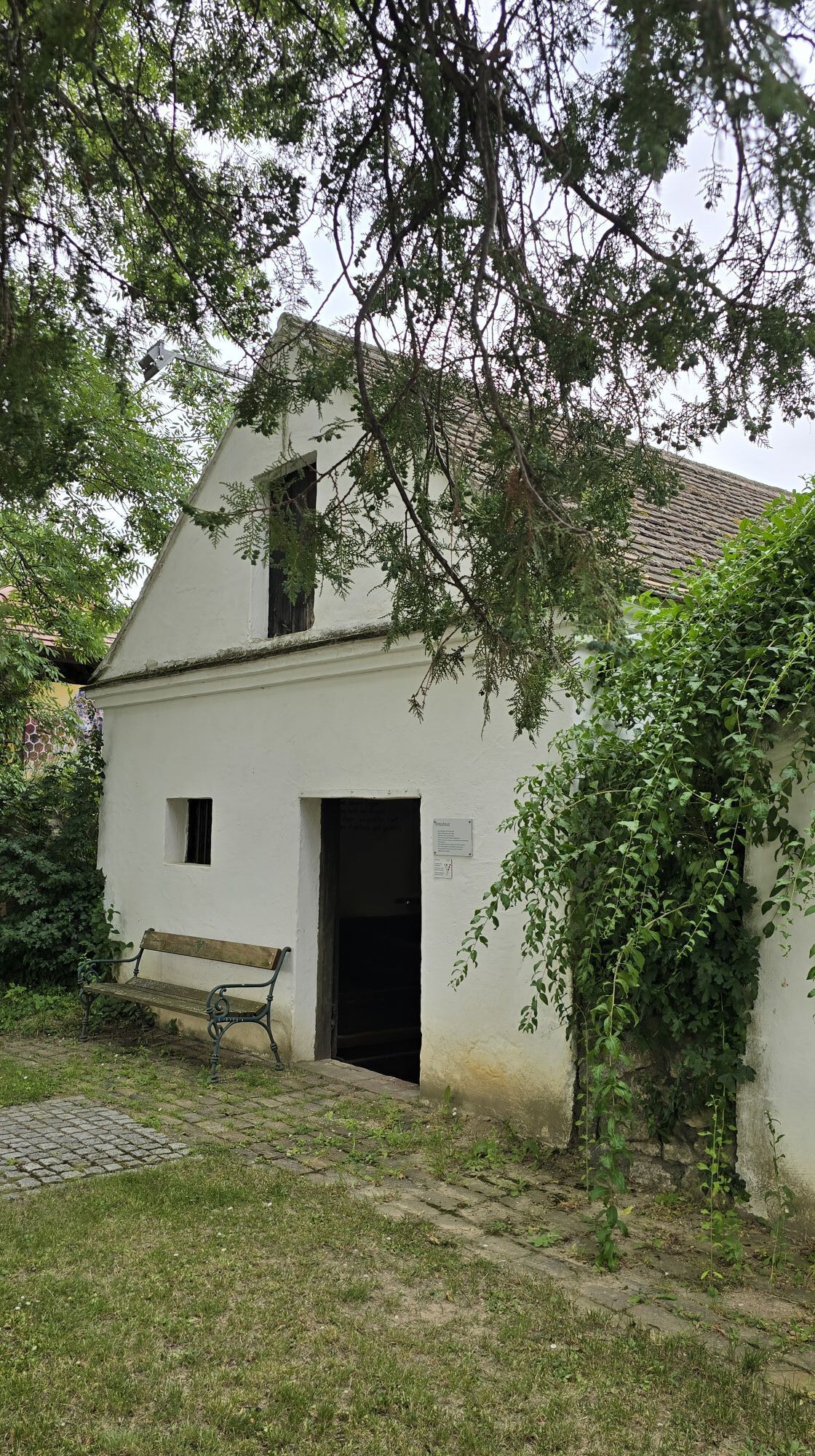
Poysdorf - Austria's wine town - lies in the heart of the Weinviertel. Enjoy the hiking trails in the Weinviertel cultural landscape with its wonderful hills full of vineyards, cereals, sunflowers and rapeseed. Romantic wine cellar lanes alternate with sunken hilly landscapes. The sky offers a view of the expanse of the border triangle. The senses have a richly laid table here.

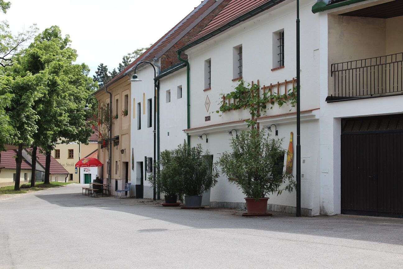

Vino Versum Poysdorf – Cross Brünner Straße – turn right onto Radyweg – Hermannschachern – Hegerkreuz – Zeiselweg – Schutzengel – Berggasse – Kirchberg – Kellergstetten (Children’s playground) – Cross Brünner Straße – Vino Versum Poysdorf
By car, Poysdorf is accessible via the A5 highway from both the north and the south.
Poysdorf is accessible by bus from Vienna.
Parking is available at the starting point near the Hotel Neustifter.
Person responsible for the content of this tour
Weinviertel Tourismus GmbH
Last update: 11.09.2025
This tour is a “feel-good” hiking trail and is therefore especially family-friendly!

Popularne wycieczki w okolicy
-
4,3
Eine „Pfefferl“-Runde über den Galgenberg ab/bis Poysdorf
średniWędrówka 15,8 km -
4,8
ALTRUPPERSDORF Galgenberg Höhlenstein Ruine Falkenstein ret. 20210224
średniWędrówka 16,7 km -
5,0
Poysbrunn - Falkenstein
światłoWędrówka 14,4 km -
4,6
Weinviertel extreme Gipfelwanderung 2024
średniWędrówka 40,8 km -
3,8
»tut gut« Wanderweg Poysdorf | Route 3
światłoWędrówka 6,06 km -
4,5
»tut gut« Wanderweg Falkenstein | Route 2
światłoWędrówka 4,99 km -
5,0
»tut gut« Wanderweg Poysdorf | Route 2
średniWędrówka 11,4 km -
2,3
Veltliner-Radtour
Jazda na rowerze 75 km -
5,0
»tut gut« Wanderweg Mistelbach| Route 3
światłoWędrówka 6,80 km -
4,0
Staatzer Kellergassenrunde
światłoWędrówka 17,4 km
Wędrówki i tropienie


Nie przegap ofert i inspiracji na następne wakacje
Twój adres e-mail została dodana do listy mailingowej.





