


Staatzer Kellergassenrunde
Visit the villages without chimneys in Staatz and the surrounding area! Along the way you can fortify yourself at self-service stalls.
Along the hiking trail you walk through four cellar lanes - "Schlichtenberg"...
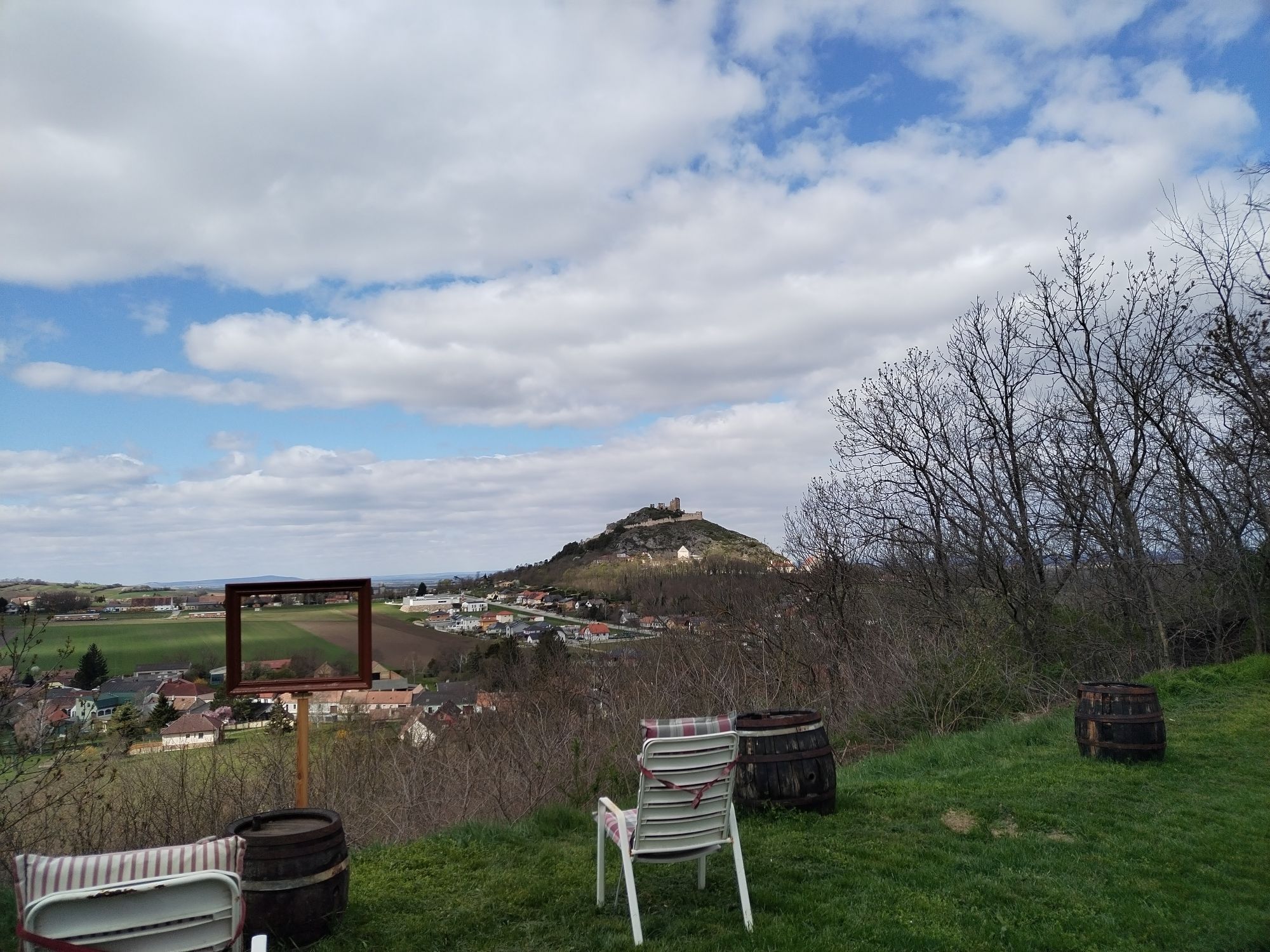
Along the hiking trail you walk through four cellar lanes - "Schlichtenberg" in Kautendorf, "Auberg" in Enzersdorf, "Trift" in Waltersdorf and the "Loamgstettn" in Ameis. This round of cellar lanes offers a wonderful view of the surrounding area and the striking "Staatzer Berg" is a constant companion.


Start at the VAZ Staatz, pass the castle cellar and the "Staatzer Speis", through the castle park to the B46. Along Lindenstraße you reach the "Schlichtenberg", the cellar alley in Kautendorf. After going around the cellar alley, continue towards the "Kalvarienberg", with baroque stations of the cross. Arrived in the upper town of Enzersdorf, you walk along the village. A sunken path leads to the "Auberg", the Enzersdorfer Kellergasse. After this cellar alley, you arrive in Waltersdorf. Walk along the village, past the chapel to the Bründlquelle spring, then to the Waltersdorfer Kellergasse "Trift". At the end of the cellar alley you continue to Ameis, where you can explore one of the most beautiful cellar alleys in the country, the "Loamgstettn". Then you walk towards Ameis, past the church, through the gentle landscape, with a view of the Staatzer Berg. Arrived in Enzersdorf, you pass the sports field and cemetery and reach the starting point again after the Staatz church.
Tak
Festes Schuhwerk empfohlen.
Bitte folgen Sie der Routenbeschreibung dieser Strecke, da Sie nicht beschildert ist. Wir empfehlen Ihnen den Download des gpx-Tracks oder der pdf-Datei.
Staatz can be reached from Vienna via the A5 motorway, exit Schrick to Mistelbach. Follow the B46 in the direction of Laa/Thaya. In Staatz-Kautendorf follow the signs to Schlossplatz 5.
Parking spaces are available at the starting point VAZ Staatz/ Prof. Anton Kornherr-Musikerheim.
Der Start- und Endpunkt befindet sich am Parkplatz des Veranstaltungszentums Staatz
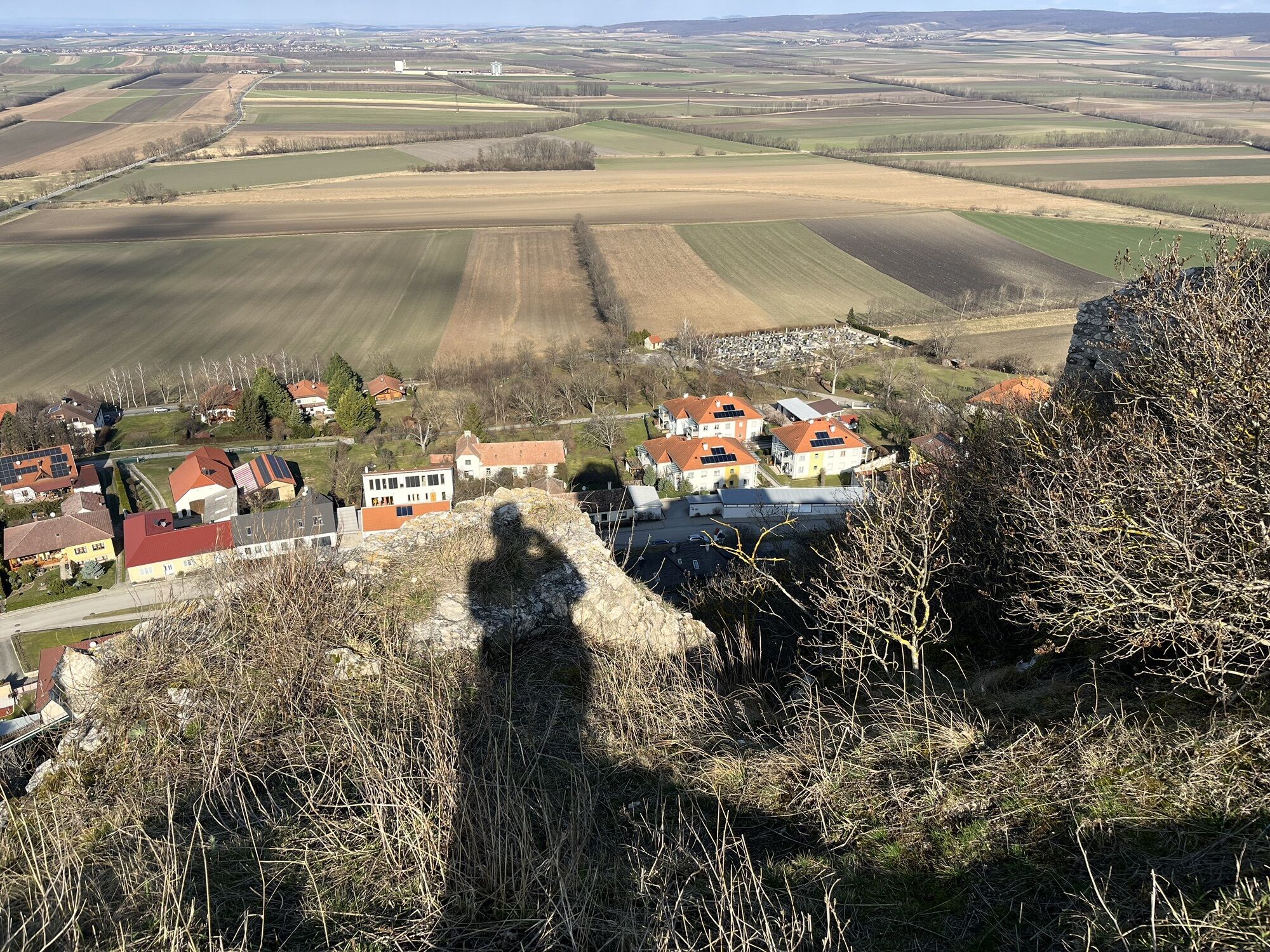
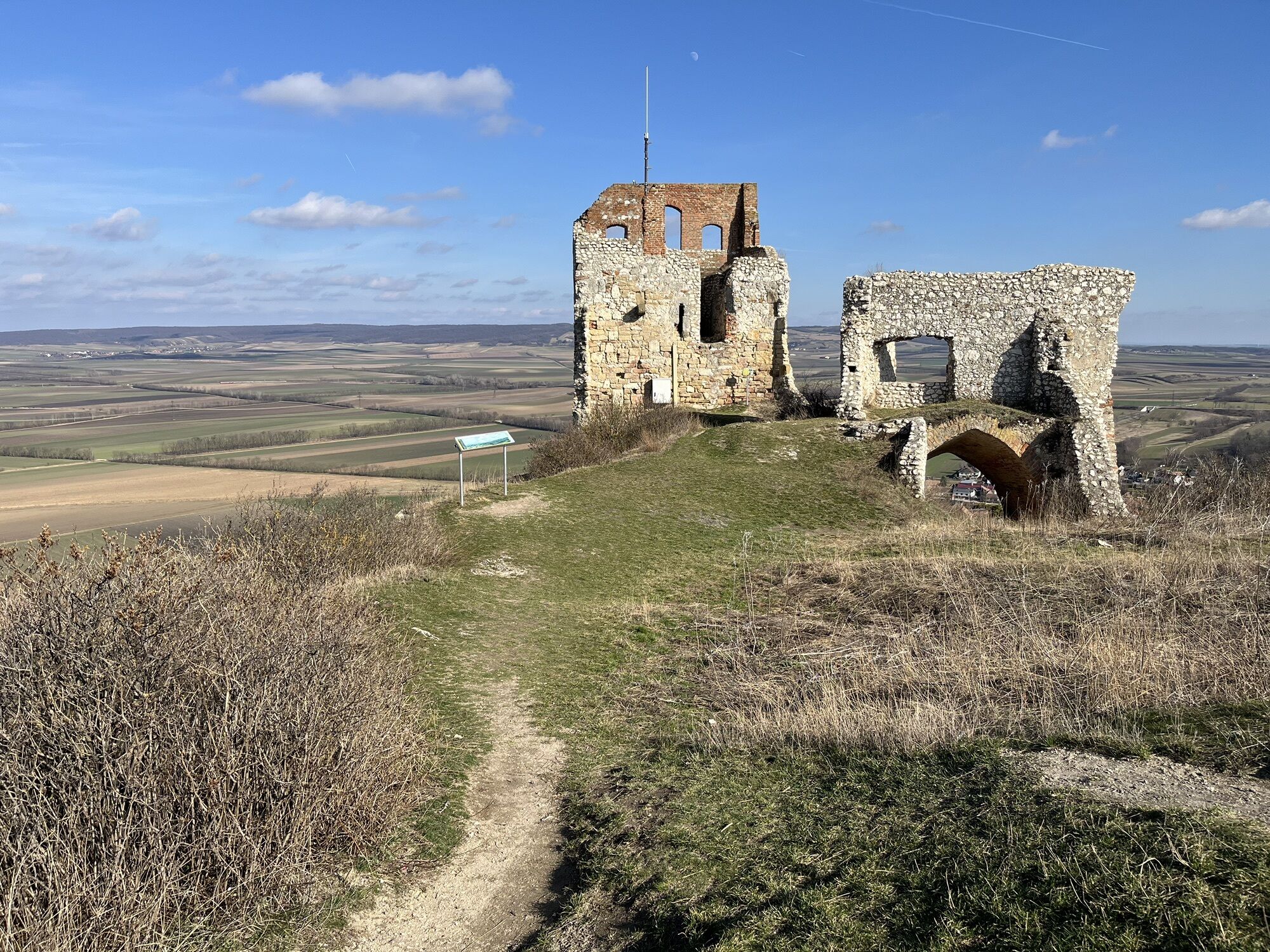
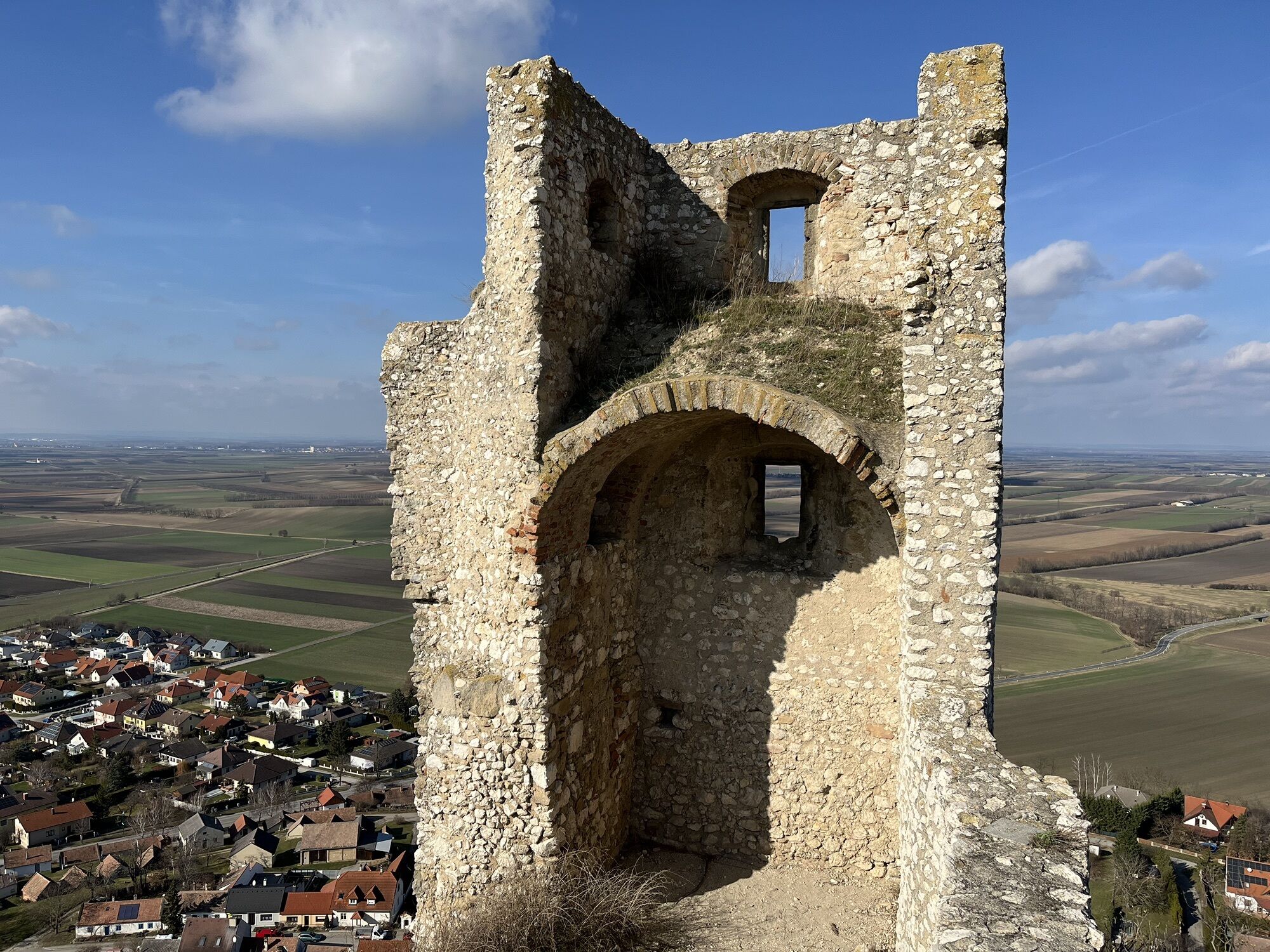
Vor dem Start oder am Ende der Tour empfielt sich auch der Aufstieg auf den Staatzer Berg.
Popularne wycieczki w okolicy
-
4,5
Über die Leiser Berge
światłoWędrówka 10,1 km -
4,0
Niederleis-Buschberg-Runde
światłoWędrówka 7,66 km -
4,3
Eine „Pfefferl“-Runde über den Galgenberg ab/bis Poysdorf
średniWędrówka 15,8 km -
4,0
Leiser Berge Rundtour MASU
światłoWędrówka 10,4 km -
4,8
ALTRUPPERSDORF Galgenberg Höhlenstein Ruine Falkenstein ret. 20210224
średniWędrówka 16,7 km -
5,0
Poysbrunn - Falkenstein
światłoWędrówka 14,4 km -
Weinbergweg Gaubitsch ("Tut gut!"-Schritteweg)
światłoWędrówka 7,80 km -
2,3
Veltliner-Radtour
Jazda na rowerze 75 km -
4,0
Wiesenkräuterweg Gaubitsch ("Tut gut!"-Schritteweg)
światłoWędrówka 6,80 km -
4,0
LEISER BERGE Steinmandl Hausberg Zahlberg Buschberg 20230918
światłoWędrówka 6,30 km
Wędrówki i tropienie


Nie przegap ofert i inspiracji na następne wakacje
Twój adres e-mail została dodana do listy mailingowej.