






KulTour–route - e-bike
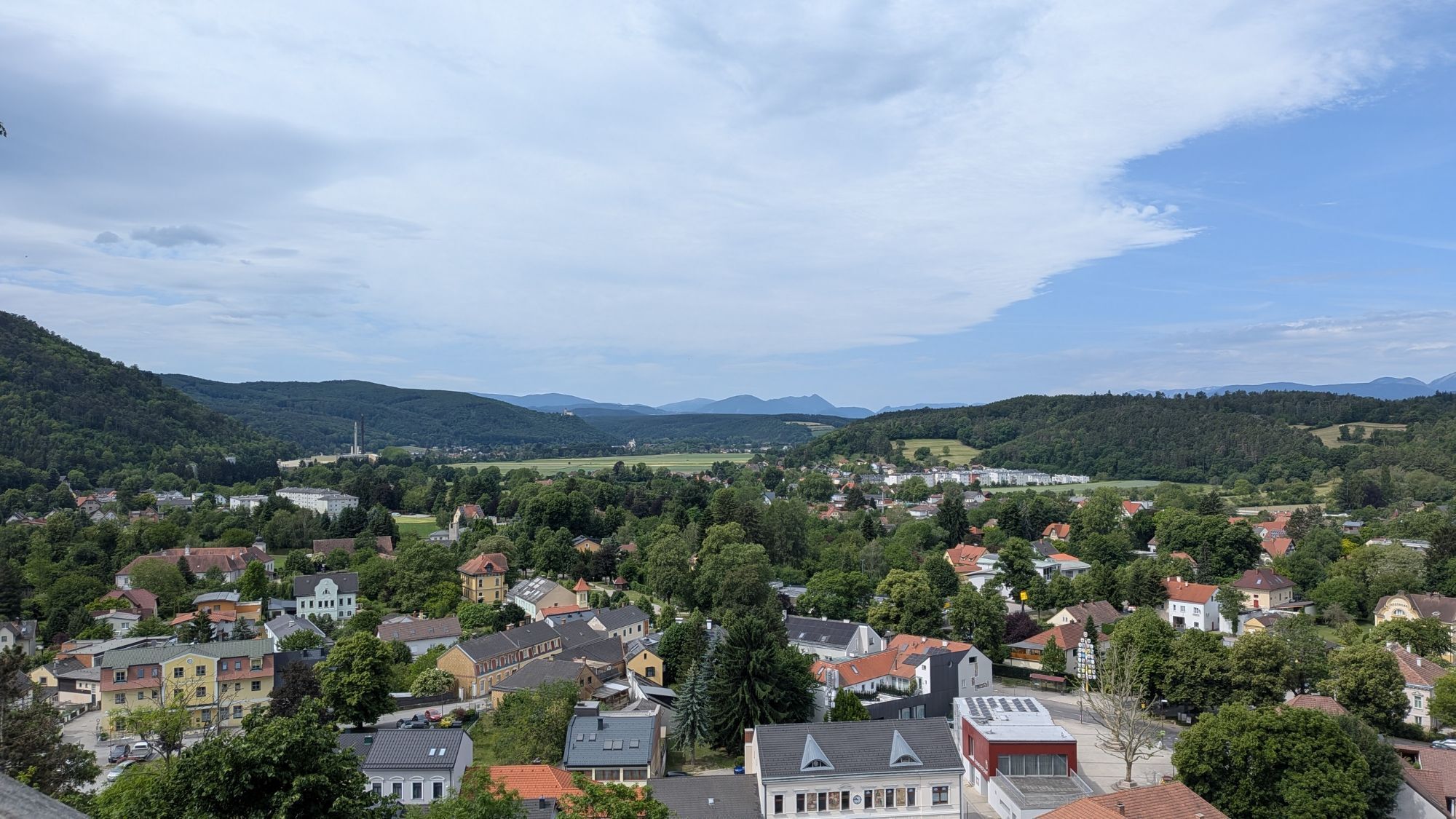
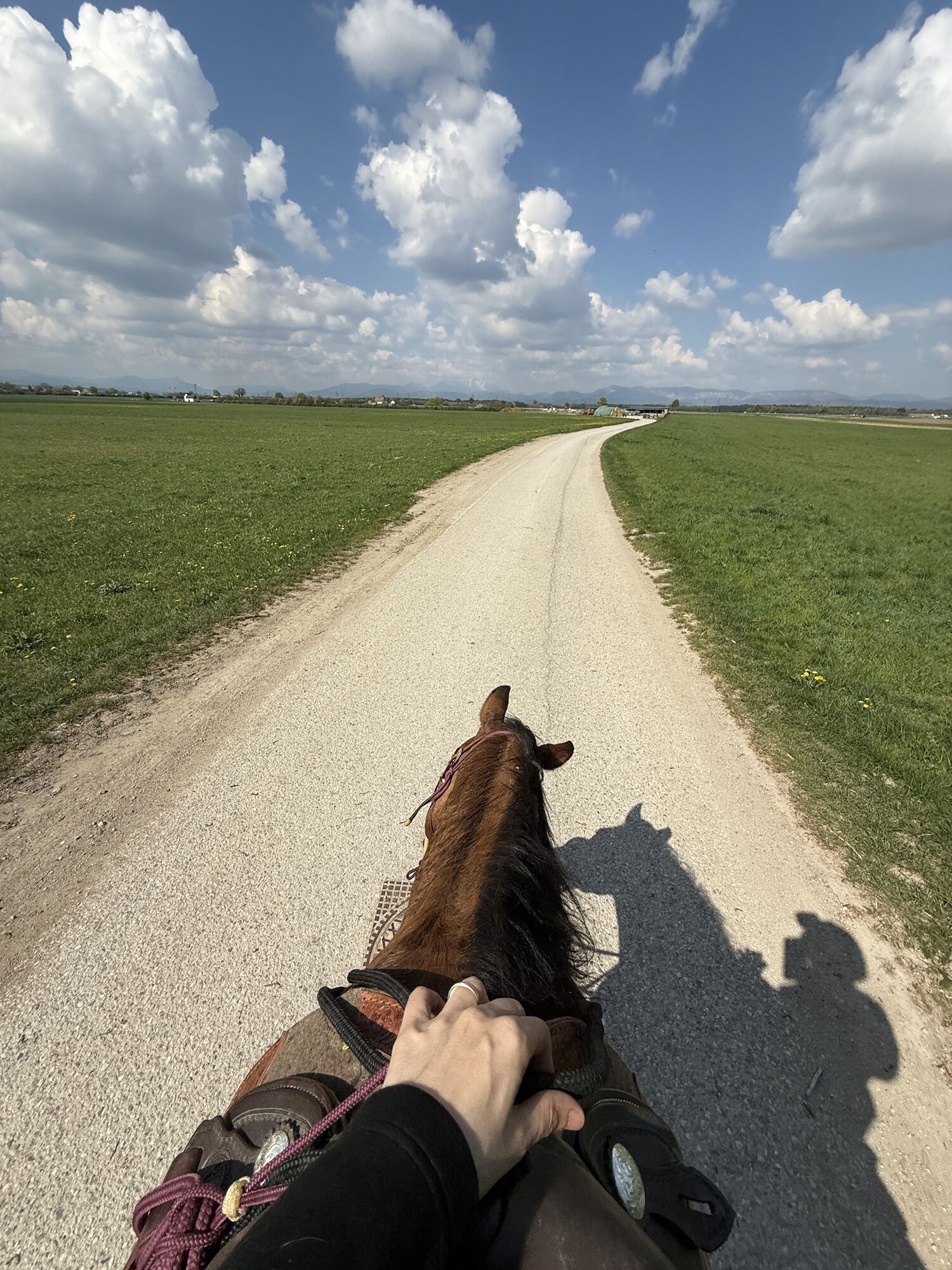
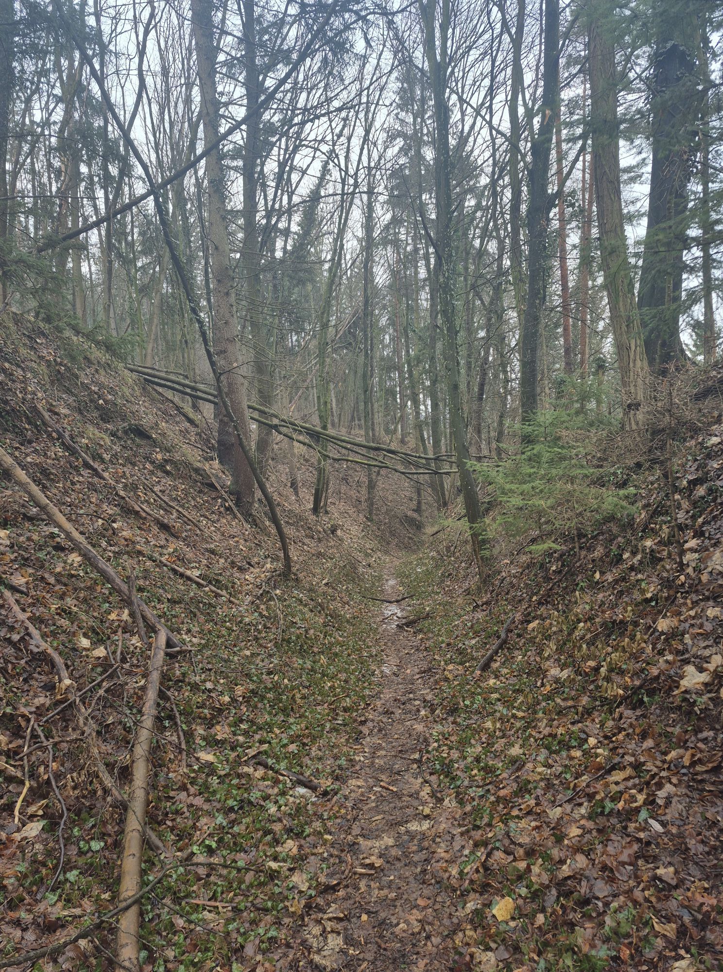
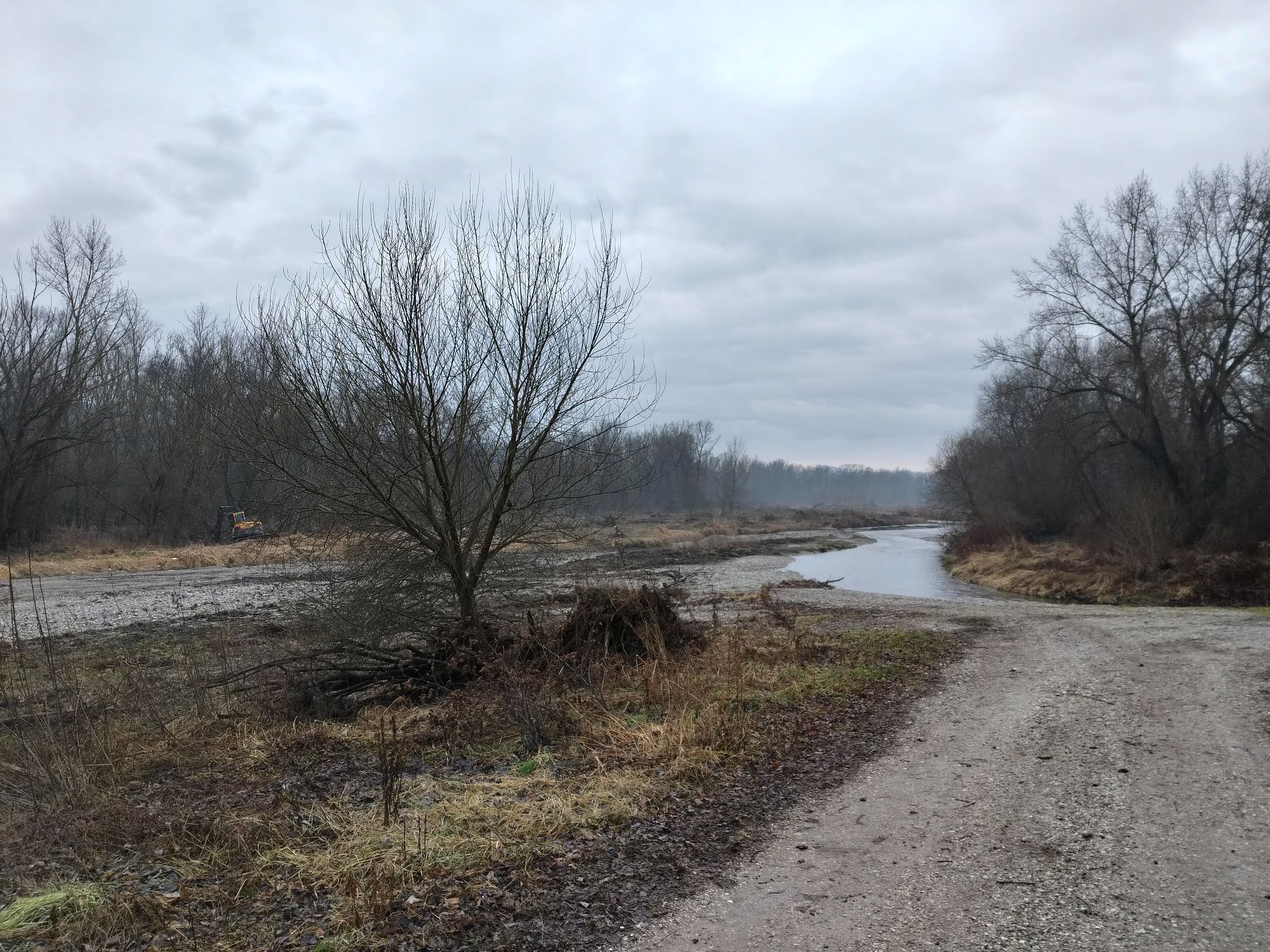
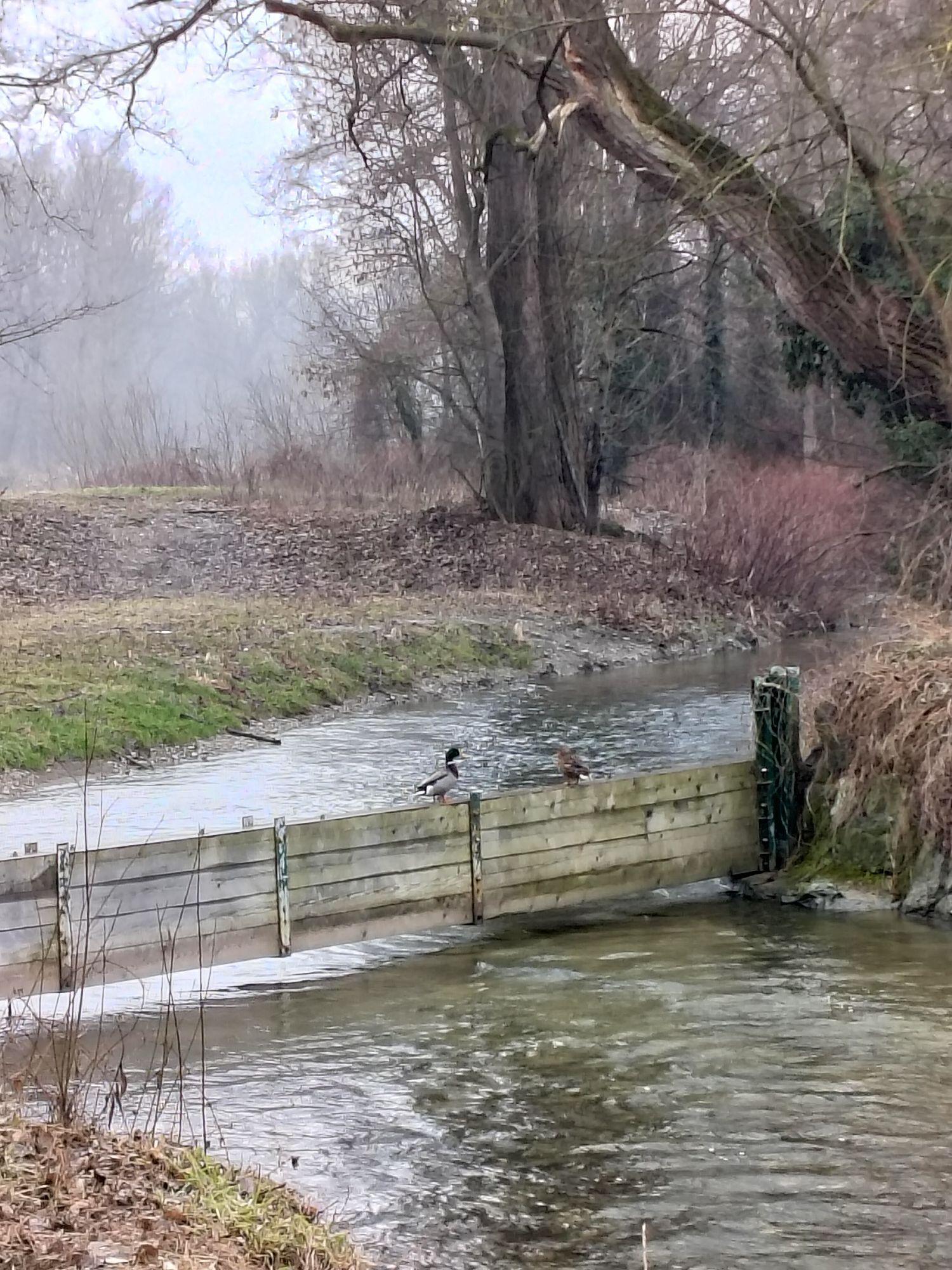
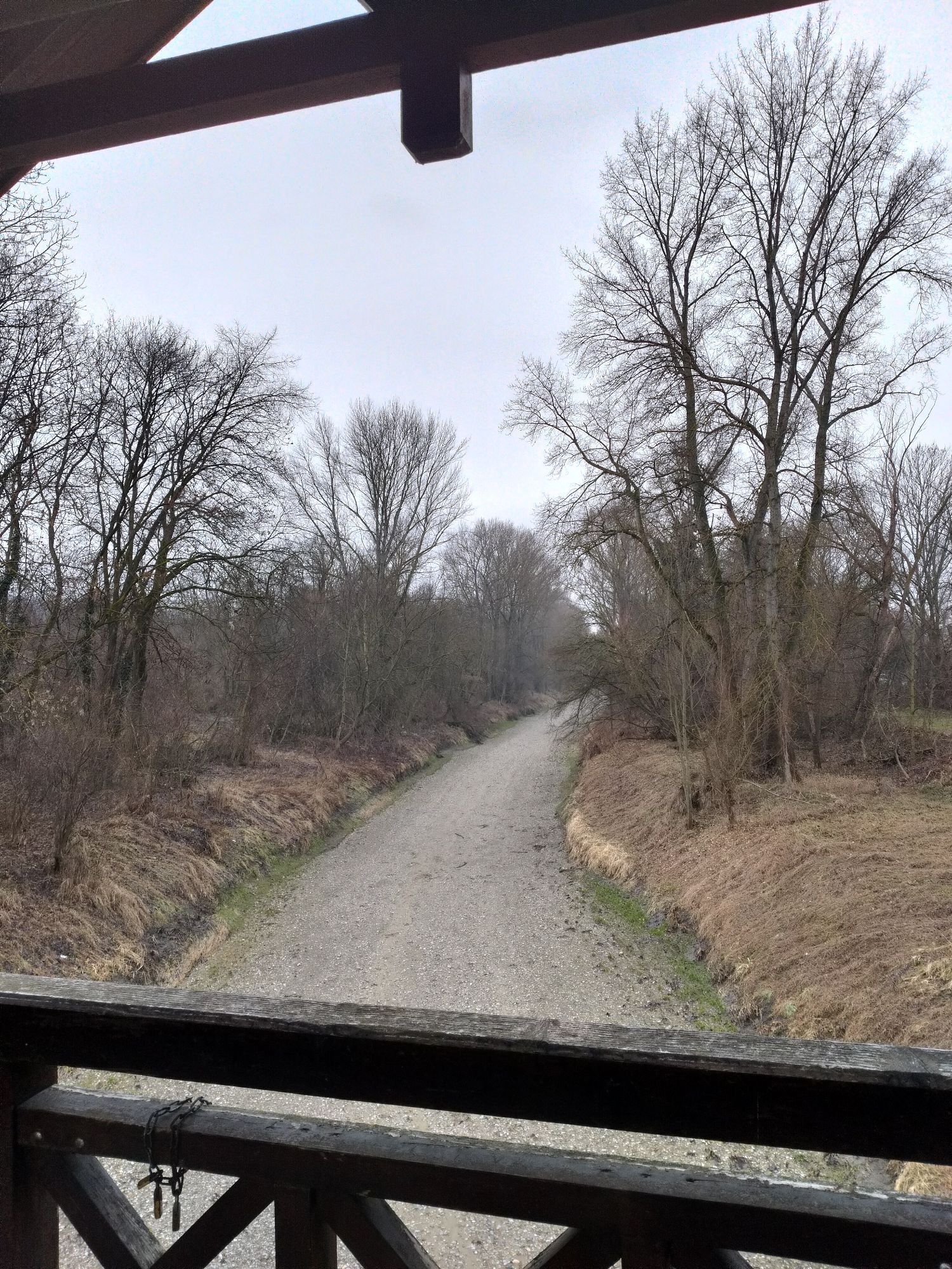
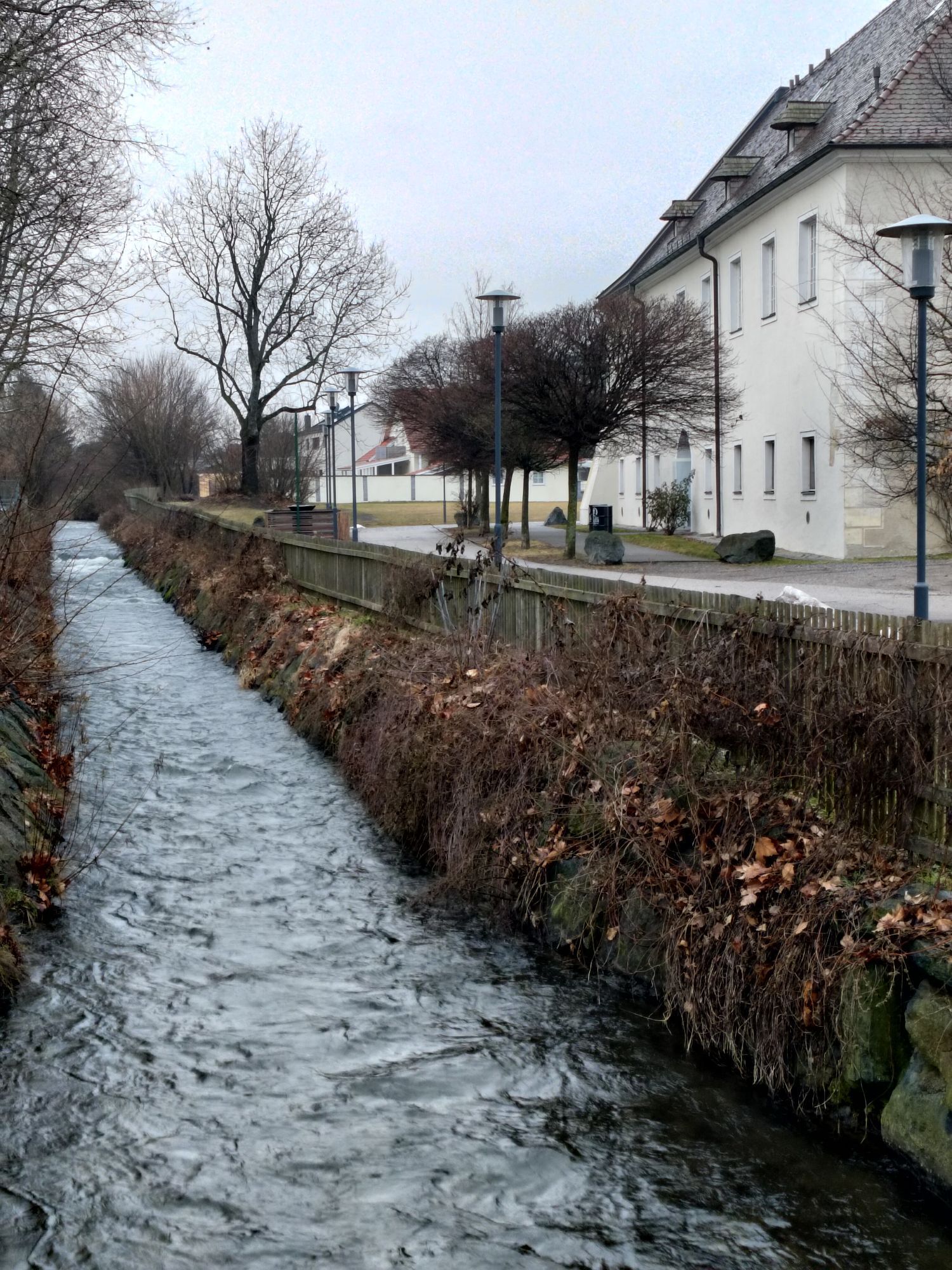
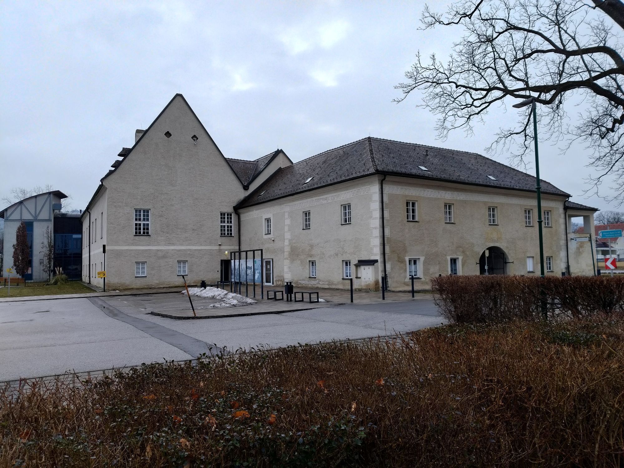
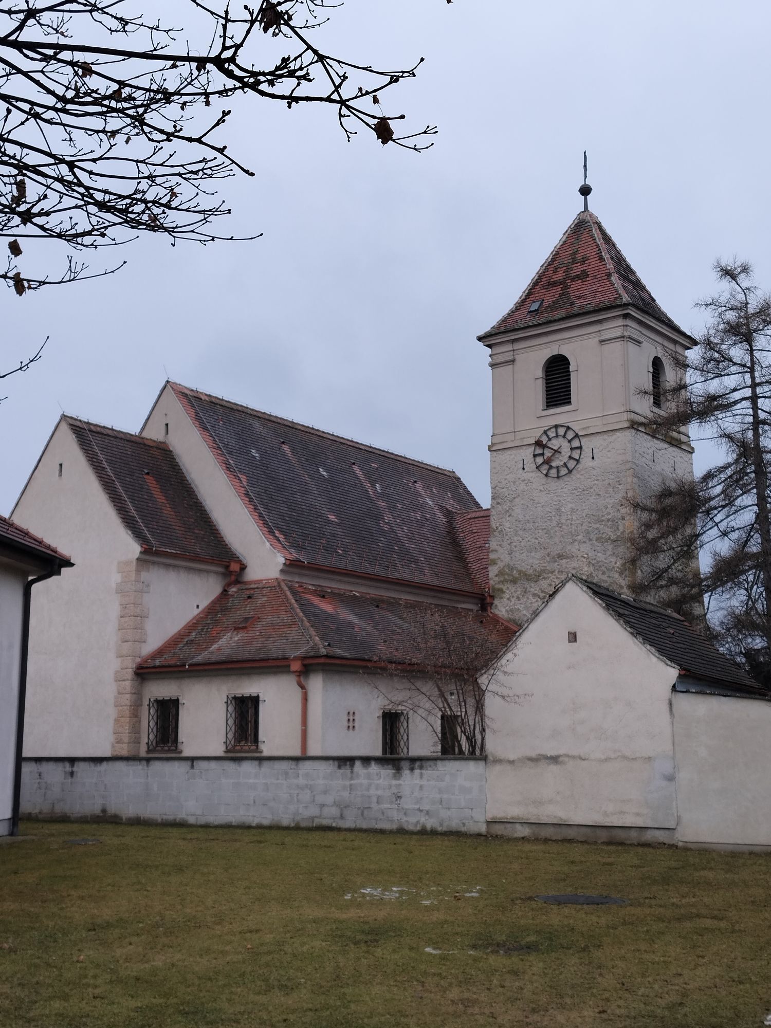
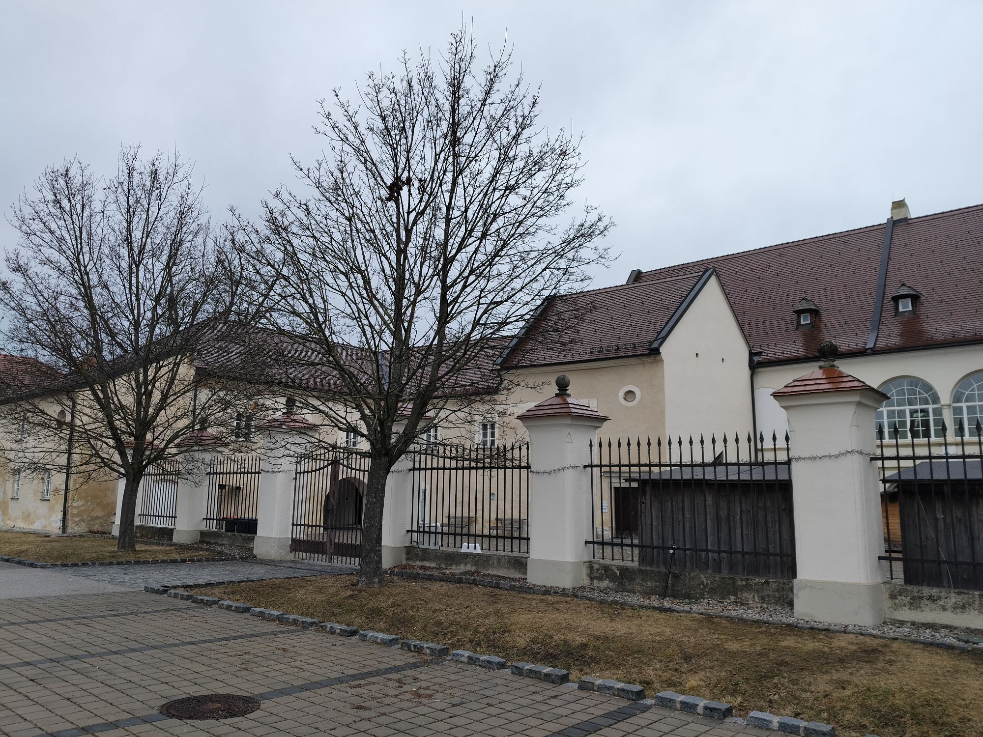
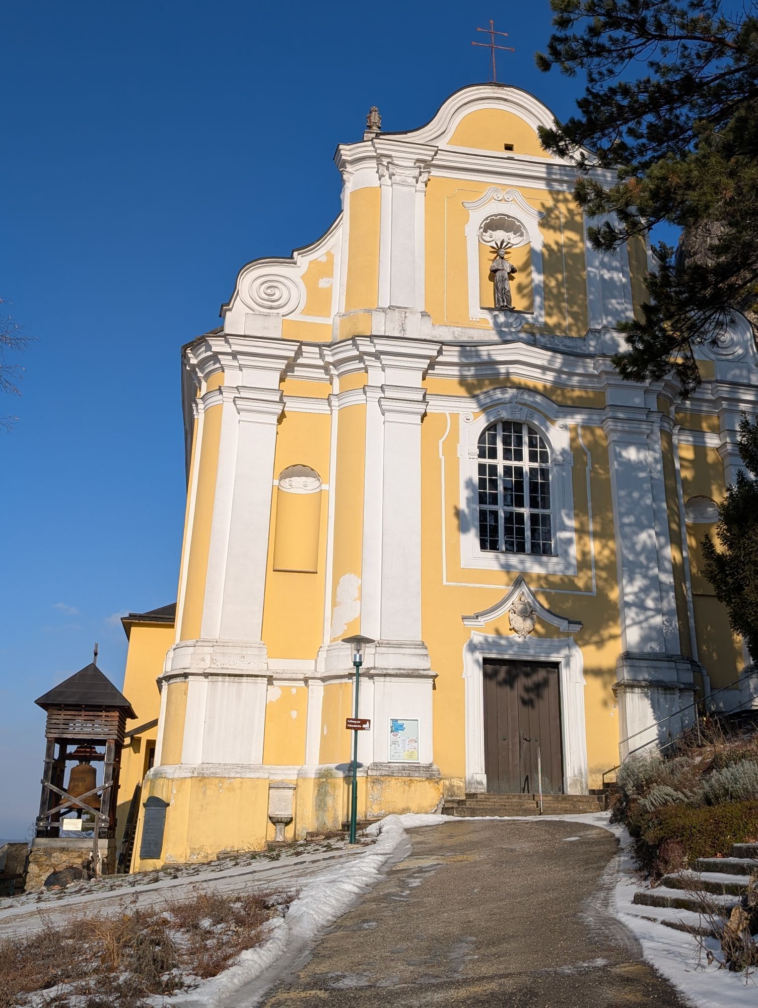
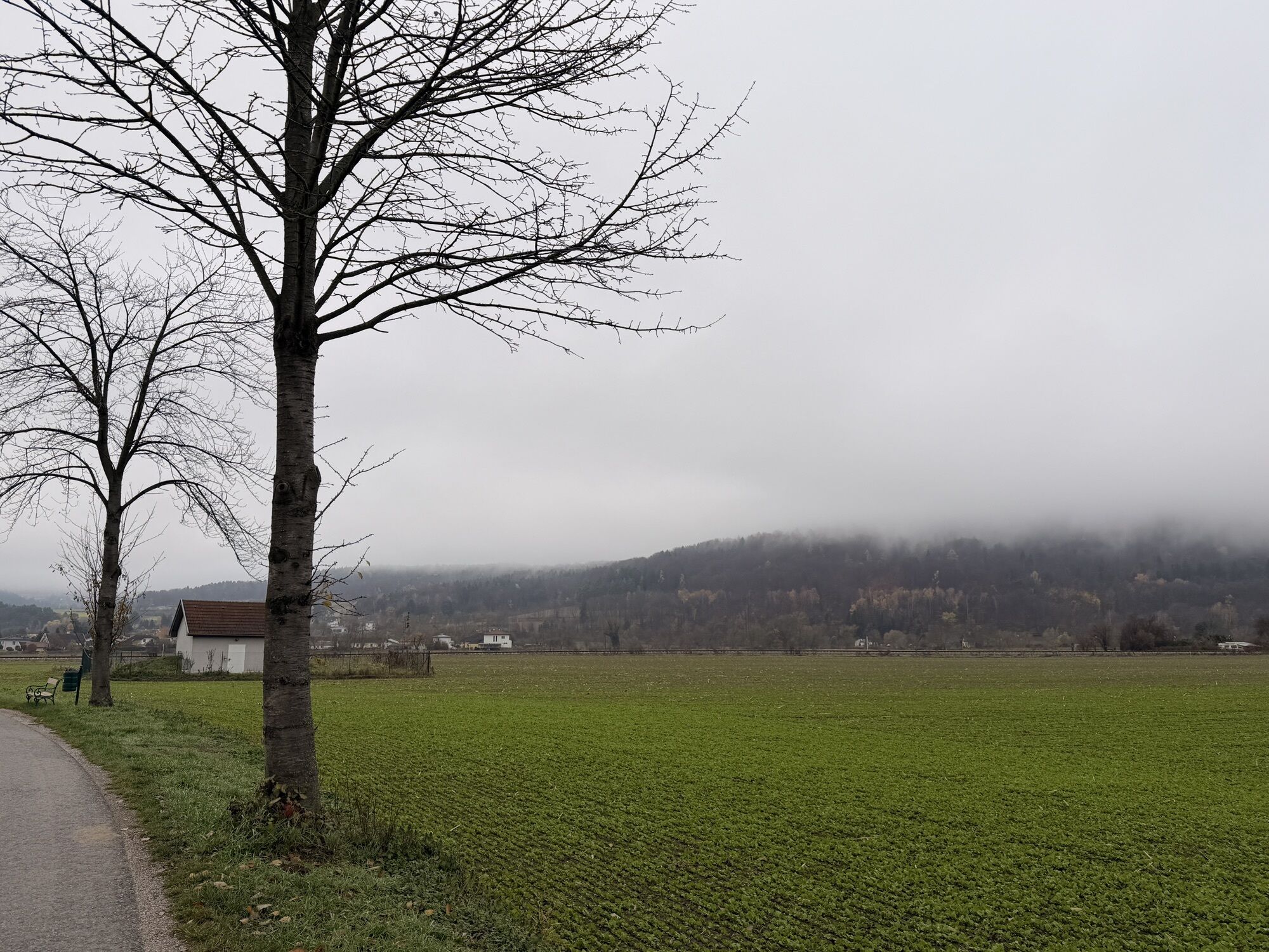
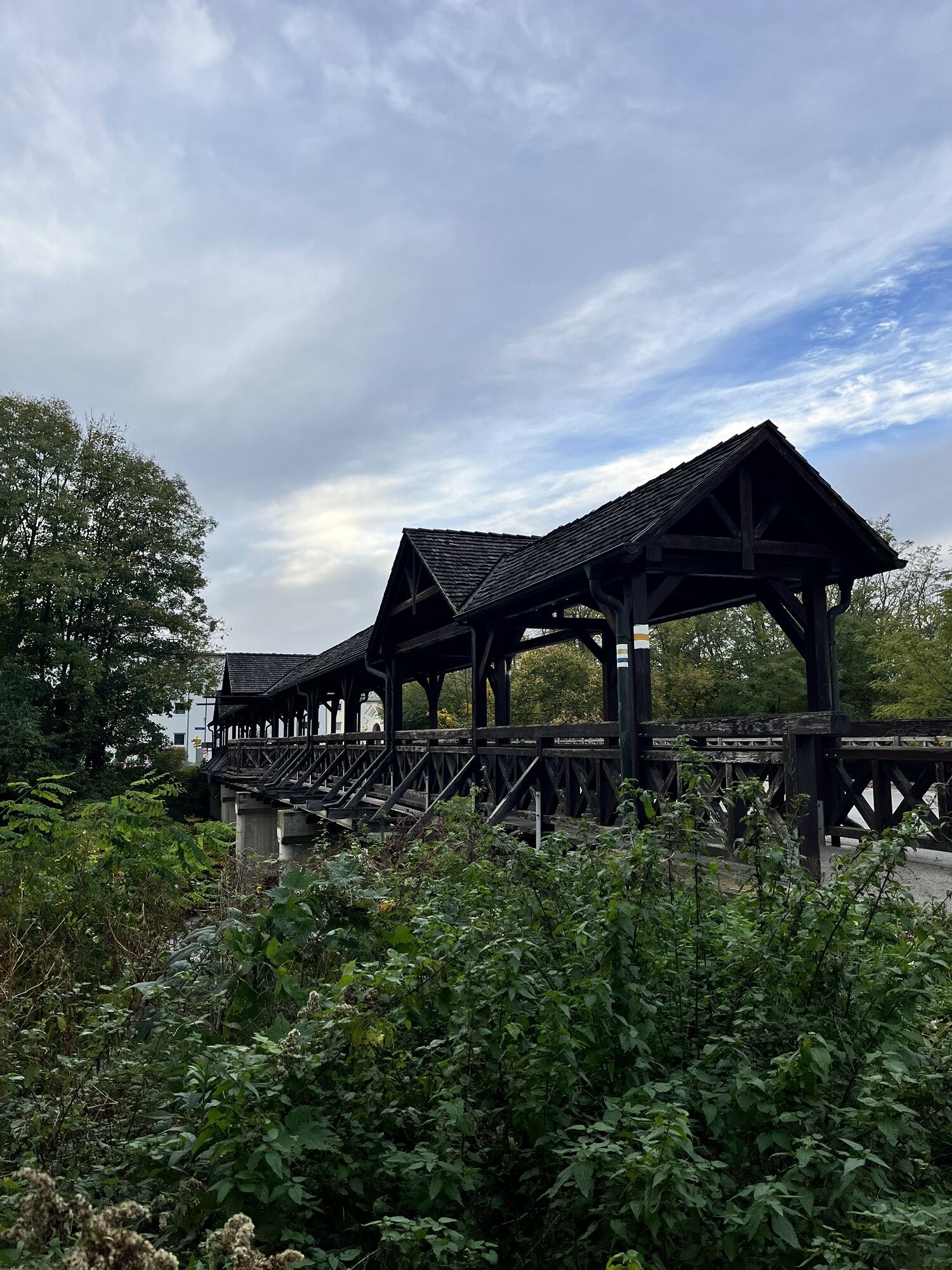
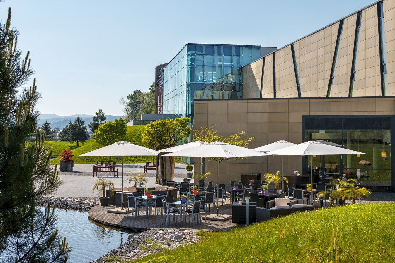
Culinary experiences await you on this route. One special feature is the Linsberg Asia Therme in Bad Erlach.
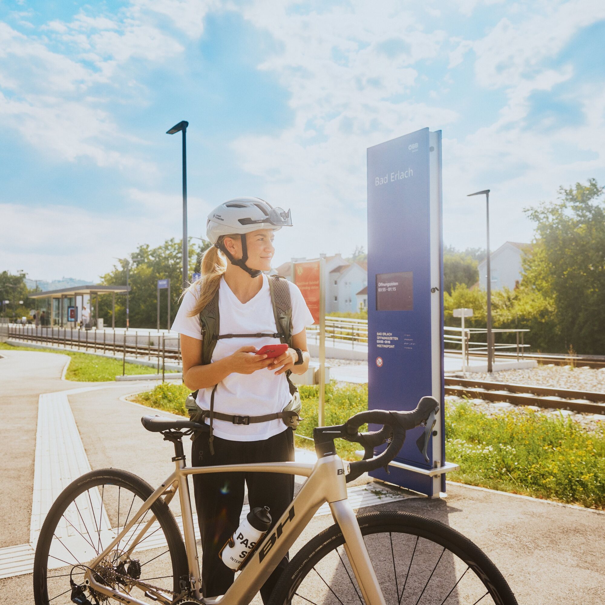

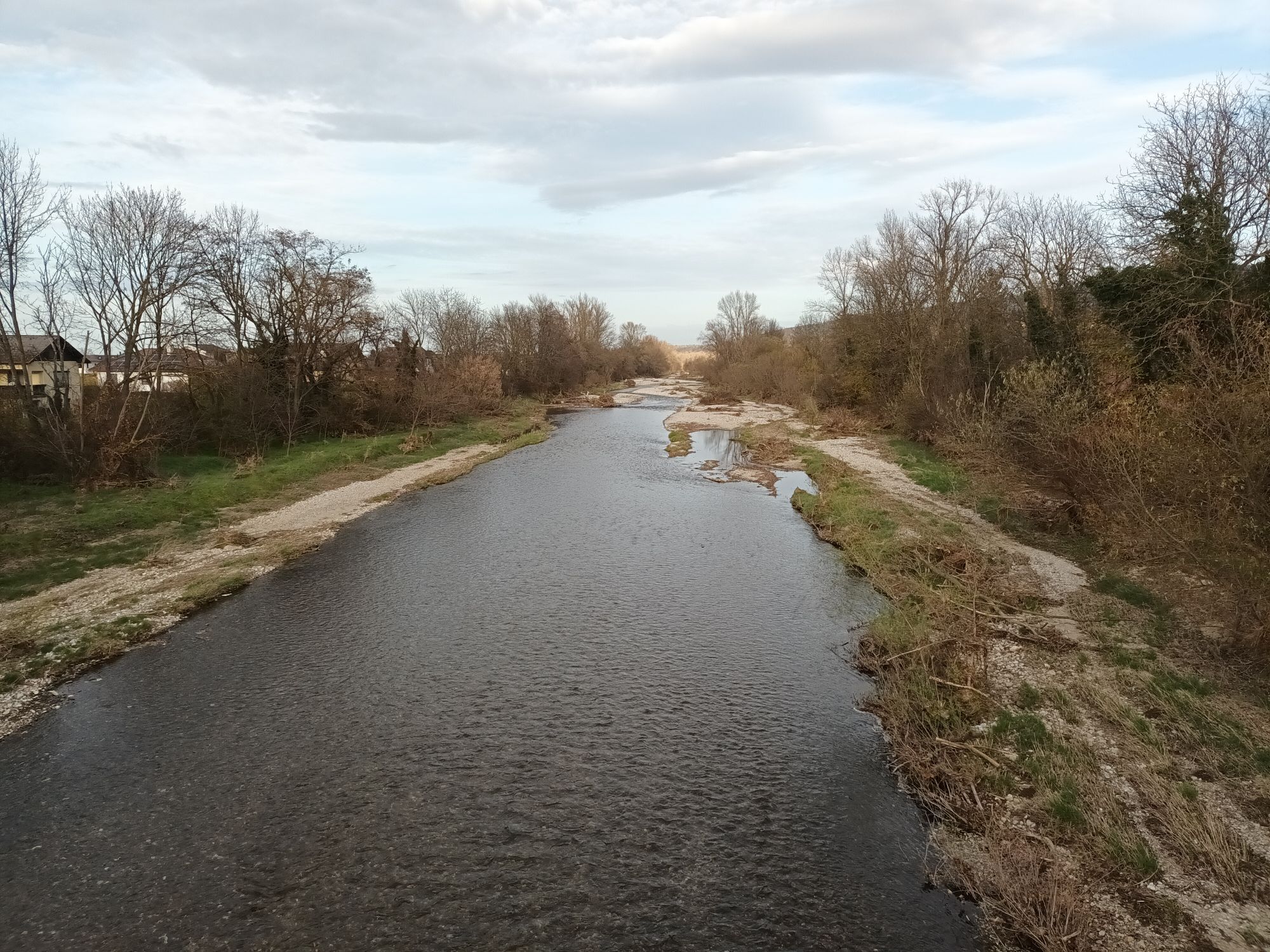
Start at the Tin Figure Museum in Katzelsdorf. Past the castle, right along the street over the Leitha bridge – following the local bike path past the monastery to Eichbüchl/Rosentaler Street. Right at the intersection along Rosentaler Street, Frohsdorfer Street and Schleinzer Street to Walpersbach. Left into the village to Klingfurth and back to Walpersbach. Take Rosaliastraße left to Bad Erlach. At the intersection to Bromberg continue right and after 50 m turn left into Dorfgasse. Right on Aspanger Street and Wiener Neustädter Street to Pitten. Option to turn left to the connecting path Hexenroute. Right to Cafe Koll, right on EUROVELO 9 along the Pitten over Schwarzen Weg to the intersection with Linsberger Street. Along Thermenstraße and left onto Wiener Neustädterstraße to the roundabout. Left along Haderswörth main street to the main square of Lanzenkirchen. There right and before the bridge right on EUROVELO 9, the Leitha meadows and the Burkhard path to Katzelsdorfer main street. Right on the local bike path back to the starting point.
For rides, we recommend wearing a bike helmet. Wear appropriate clothing and sturdy footwear. Think of rain and sun protection. Bring enough to drink.
Make sure when choosing the route that it matches your experience and your fitness. Check the weather report in advance.
Coming from Vienna or Graz on the A2, at Wiener Neustadt take the S4 towards Eisenstadt and take the Katzelsdorf exit. The Tin Figure Museum is located along the main road.
By bus or train from Wiener Neustadt main station to Katzelsdorf.
More information at www.oebb.at and www.vor.at
Free parking is available at the Tin Figure Museum.
Vienna Alps in Lower Austria, www.wieneralpen.at, +43 / 2622 / 78960
Tourism information Thermal Municipalities, www.thermengemeinden.at, +43 / 2627 / 81362
E-bike rental at Restaurant Görg, Pension Hendling, Therme Linsberg Asia, and Gasthof Mühlendorfer. Public e-charging station at the Tin Figure Museum.
Places to eat:
many wine taverns and cafésRestaurant Görg, EichbüchlAltes Kellerhaus, KatzelsdorfZum Griechen, KatzelsdorfDas Freiherr, KatzelsdorfCafé Restaurant Köbsls, LanzenkirchenCafé Restaurant Adrienn, LanzenkirchenGasthaus zum Koxi, LanzenkirchenGasthof Mühlendorfer, LanzenkirchenCafé Restaurant Sabine, Bad ErlachHöfler am Fluss, Bad Erlachdas Linsberg, Bad ErlachLandgasthaus Unger, PittenWirtshaus Krenn, PittenGasthof Manhalter, Pitten TripTin Figure World, KatzelsdorfBourbonen Path and Legend Paths, LanzenkirchenFarmers Museum, LanzenkirchenFire Brigade Museum, LanzenkirchenHacker House, Bad ErlachTherme Linsberg Asia, Bad ErlachPIZ1000, PittenRose Garden, PittenCastle Pool, PittenMountain & Rock Church, Pitten
Uzyskaj wgląd
Zawsze na żywo z ponad 9 500 kamer internetowych. bergfex Jako użytkownik Pro, możesz teraz zobaczyć odpowiednie kamery internetowe dla wielu wycieczek w aplikacji wycieczki od. Pozwala to na bezpośredni podgląd aktualnych warunków.
Popularne wycieczki w okolicy
-
4,5
B32 Rosalia bike route
średniJazda na rowerze 58,8 km -
4,6
Bucklige Welt: Auf dem Pittentaler Klettersteig zum Türkensturz
średniVia ferrata 1,96 km -
4,2
Bergkraxler Klettersteig
średniVia ferrata 3,35 km -
4,3
Türkensturz Rundwanderung
średniWędrówka 2,56 km -
5,0
Seebenstein - Türkensturz - Burg Seebenstein
światłoWędrówka 7,50 km -
4,7
Naturlehrpfad Katzelsdorf
światłoWędrówka 3,81 km -
4,0
Bucklige Welt: Burg Grimmenstein und Kulmriegel
światłoWędrówka 10,5 km -
4,5
To the Wiesen/Lanzenkirchen observation tower from the Rosalia
światłoWędrówka 4,25 km -
3,8
Größenberg und Eisensteinhöhle - Angelos Touren
światłoWędrówka 9,83 km -
4,2
Türkensturz große runde
średniWędrówka 11,4 km
Wędrówki i tropienie


Nie przegap ofert i inspiracji na następne wakacje
Twój adres e-mail została dodana do listy mailingowej.





