






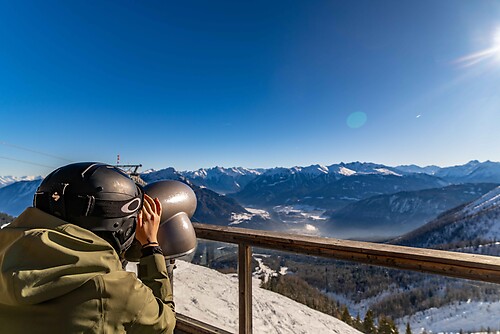
Jakobsweg Mostviertel: Overall route from Maria Taferl to Linz (Pöstlingberg)

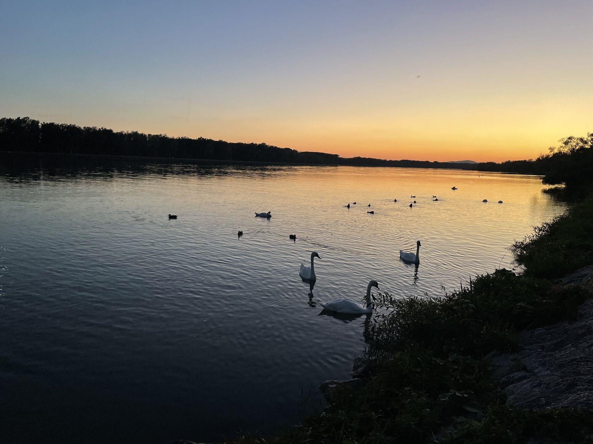
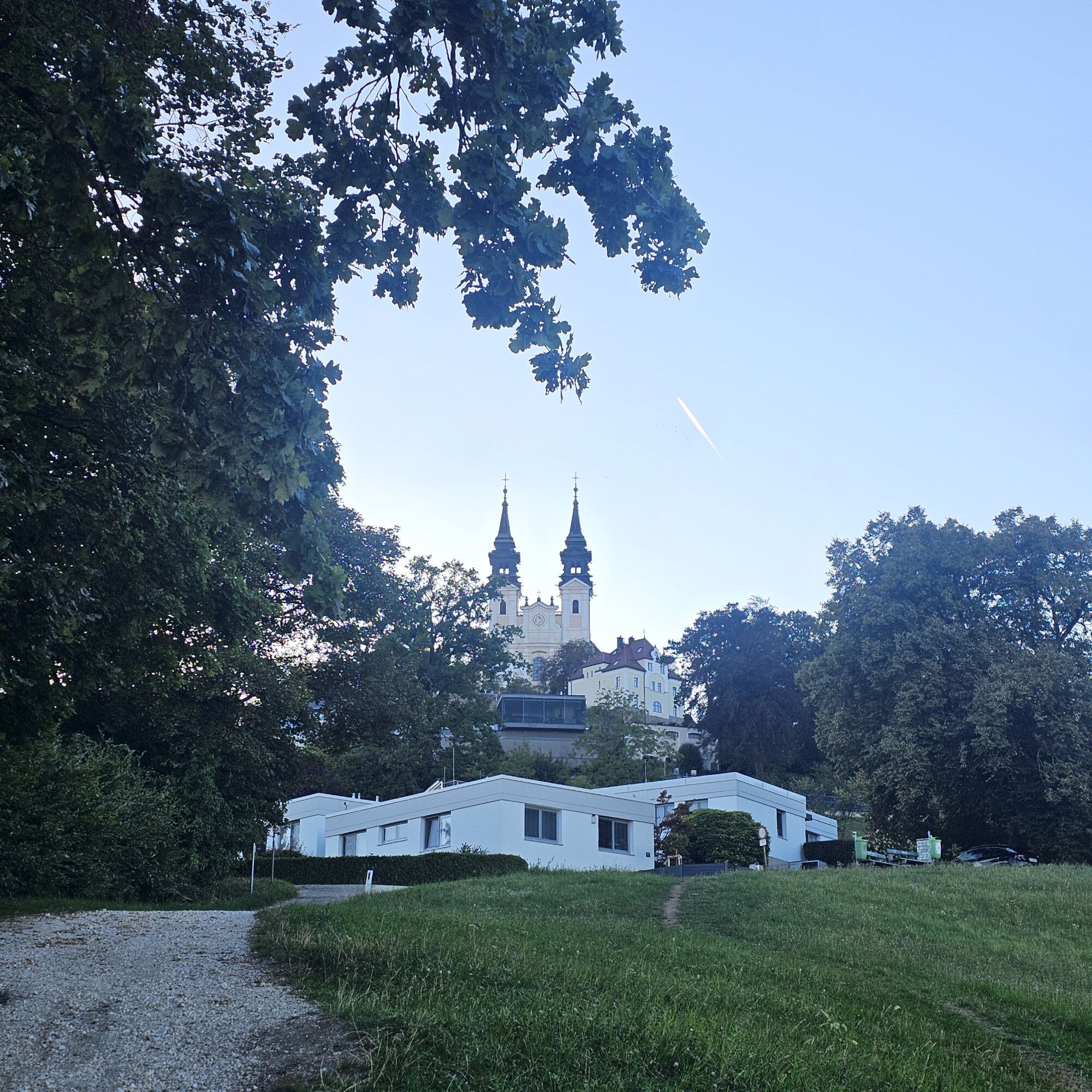
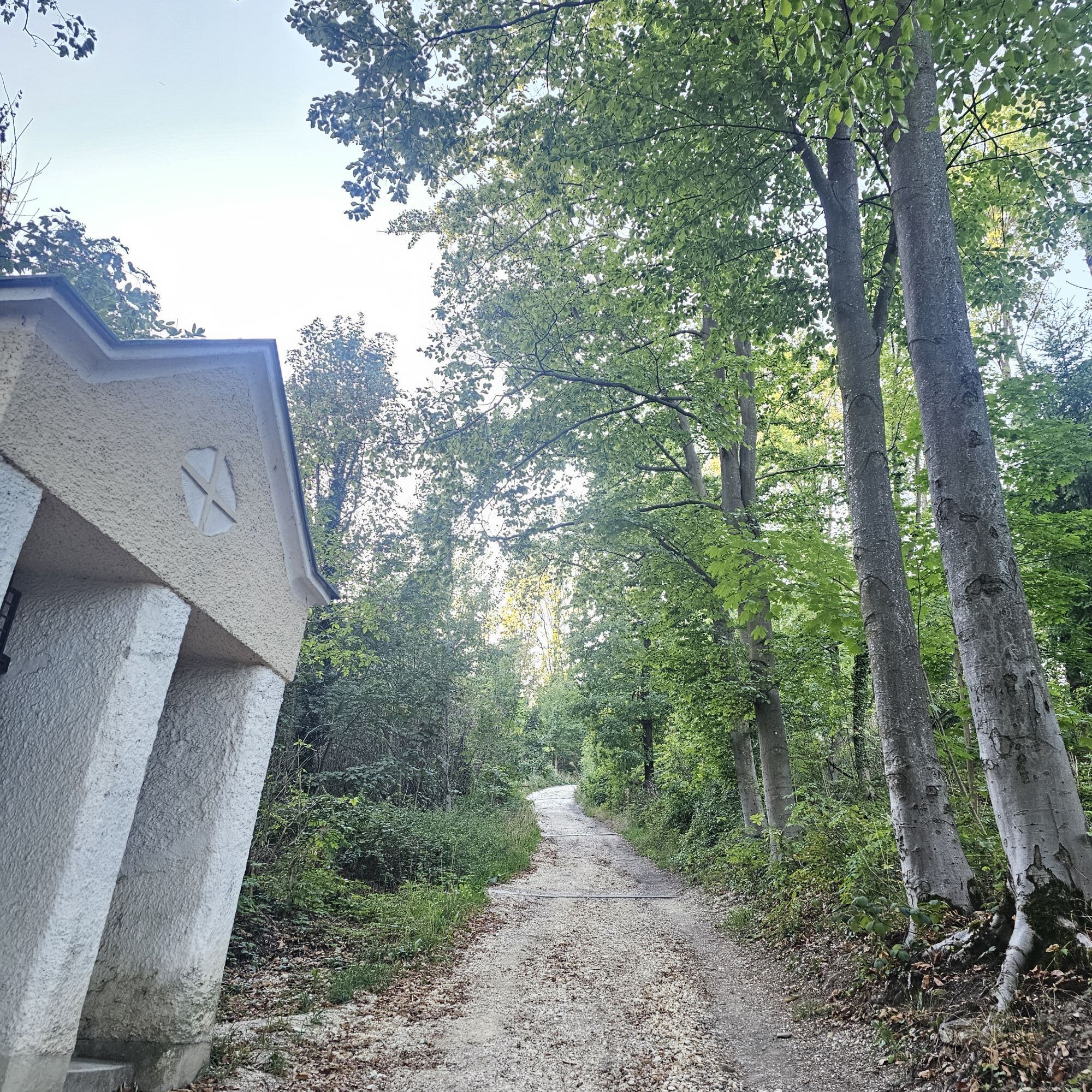
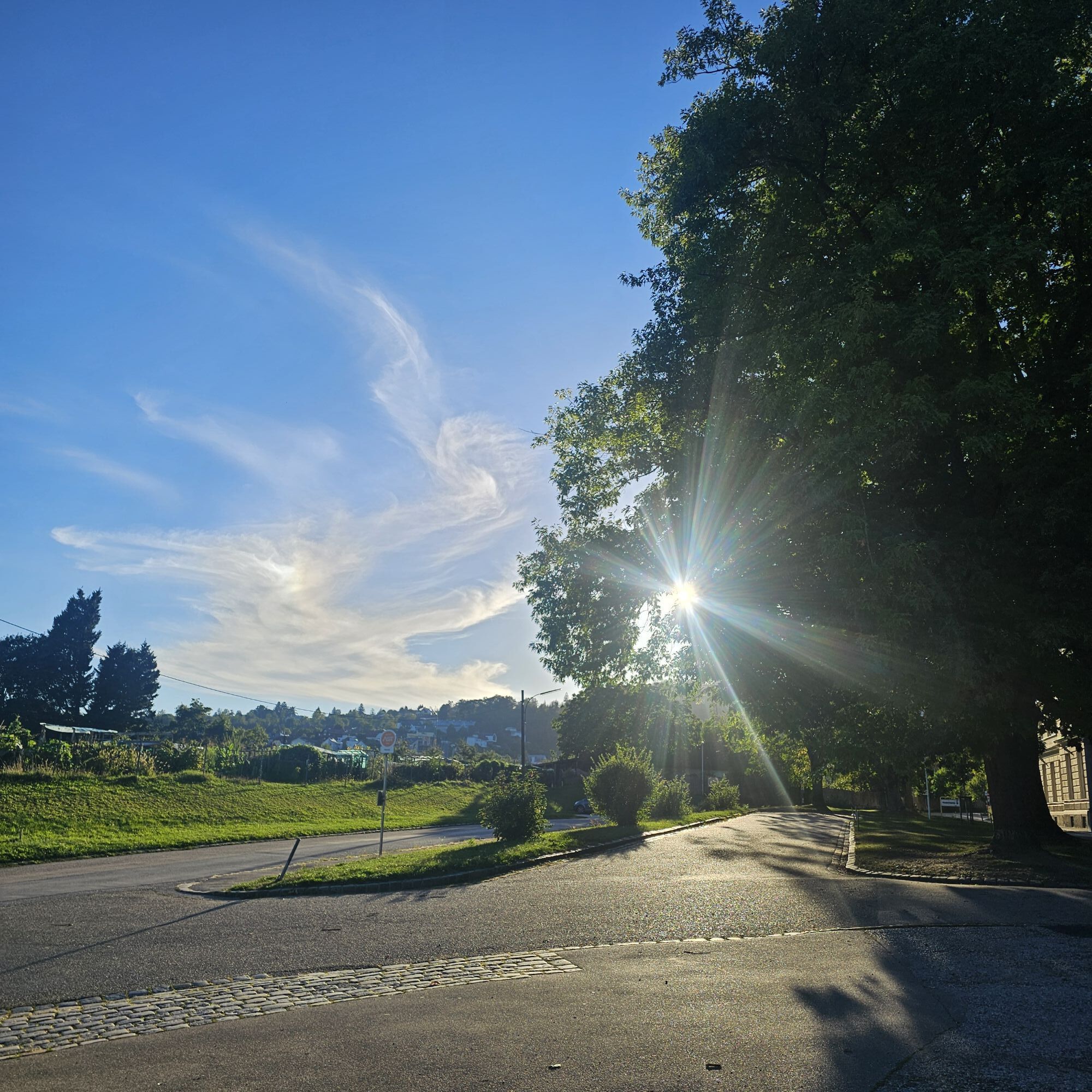
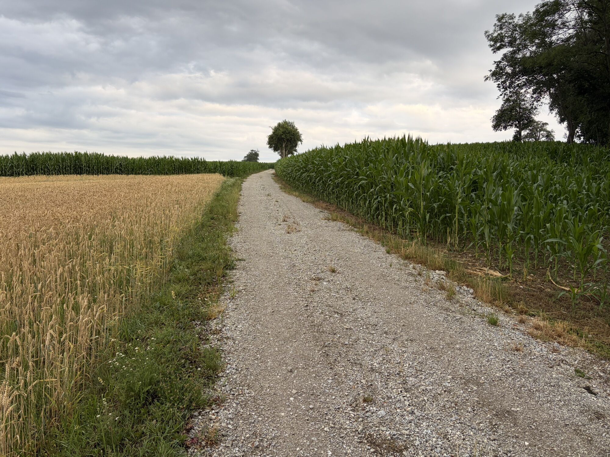
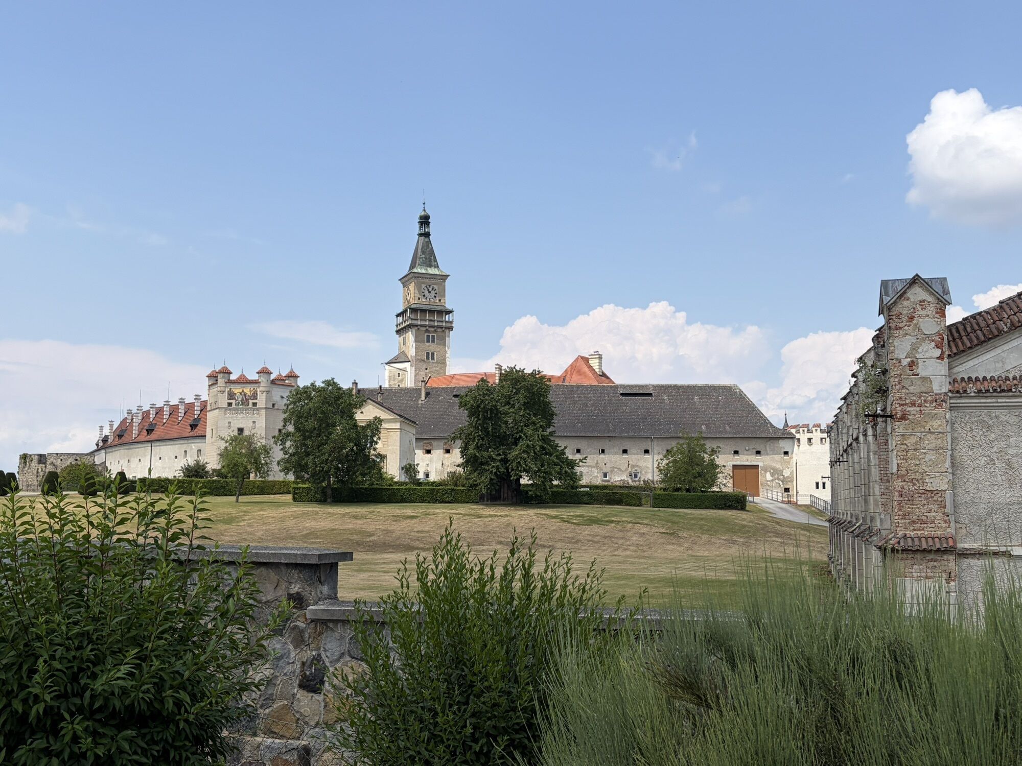
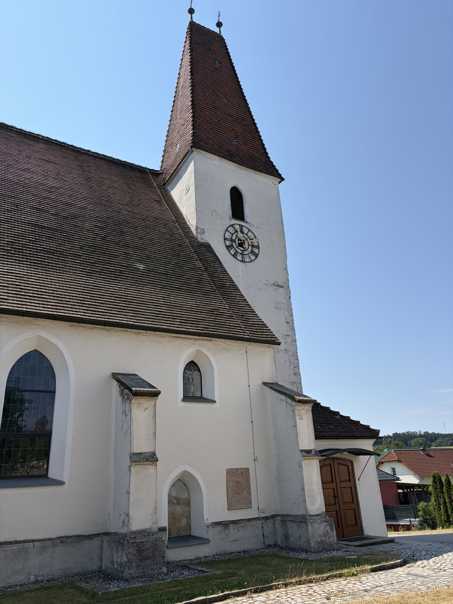
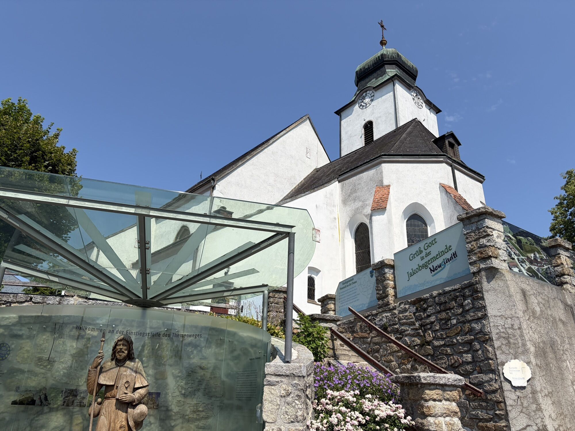
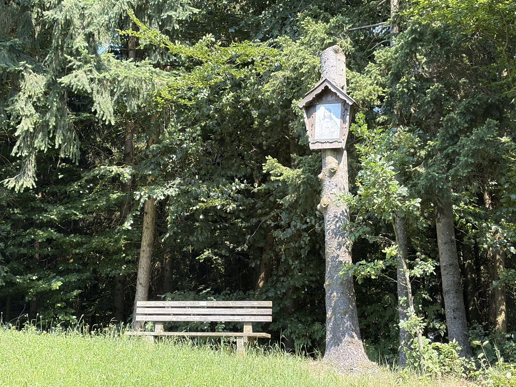
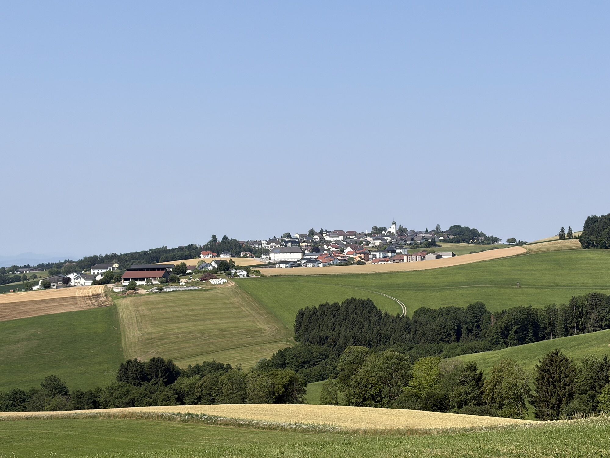
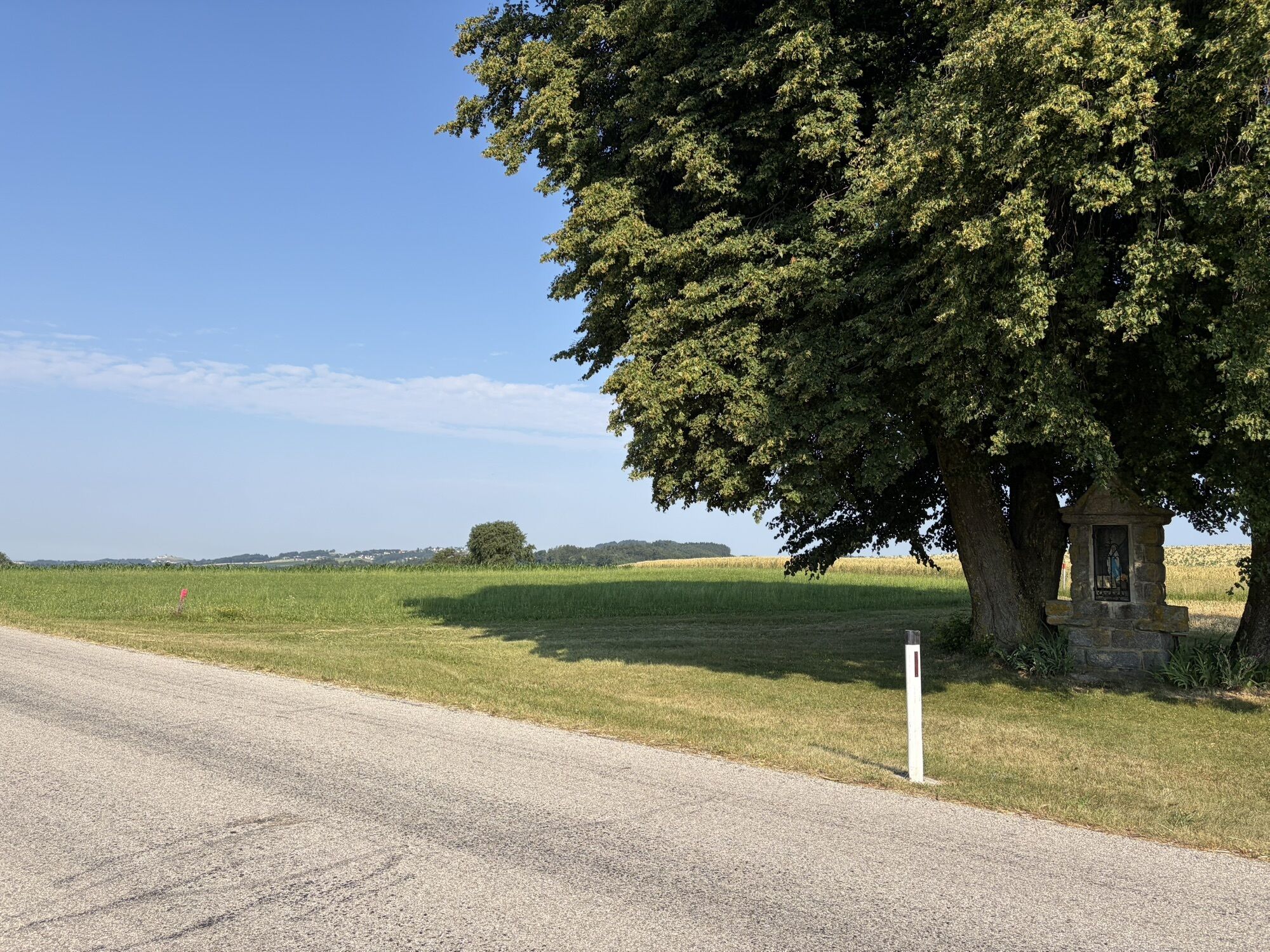
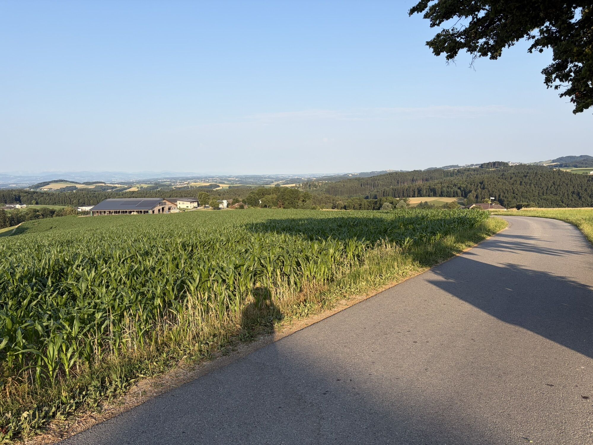
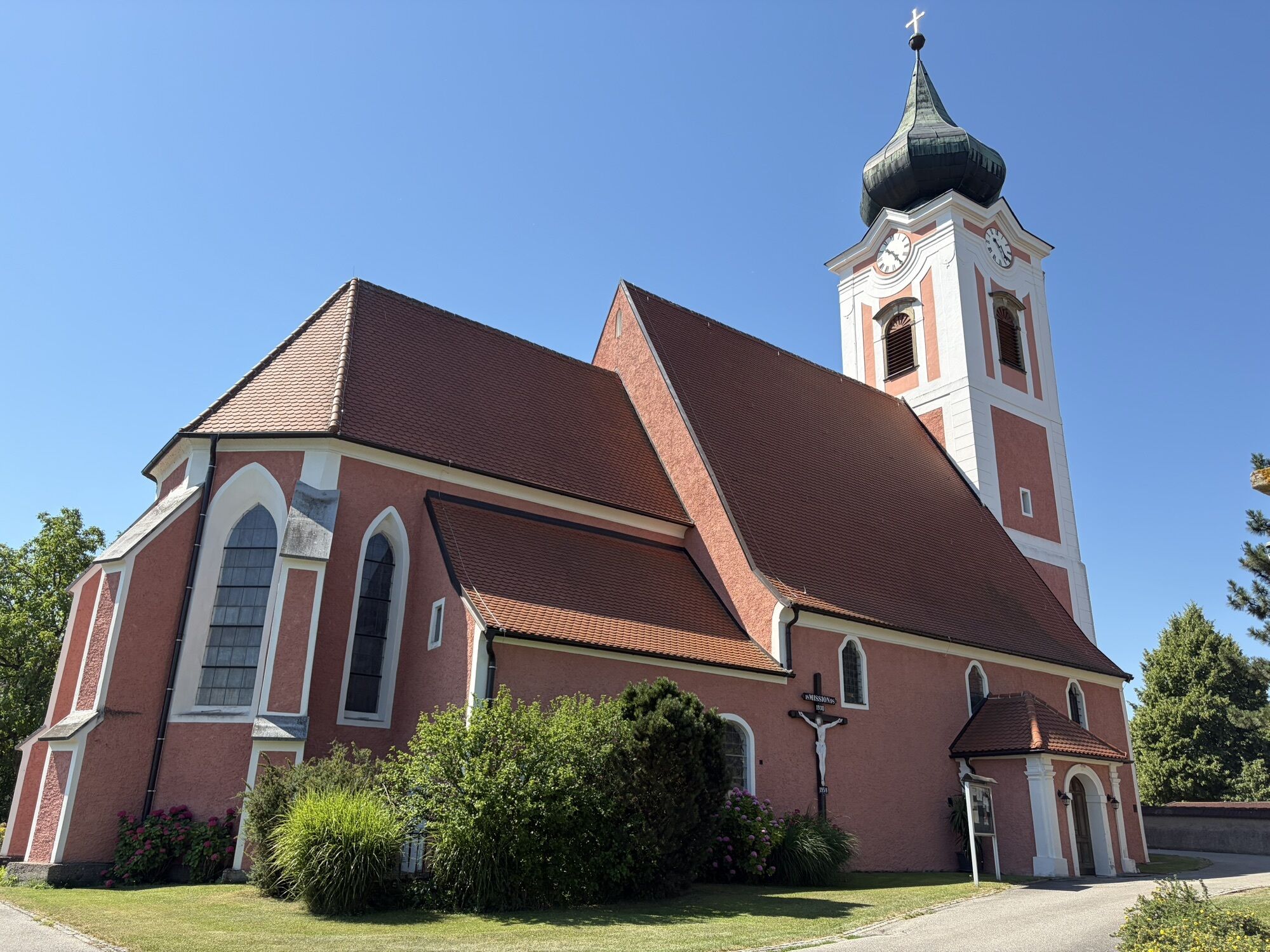
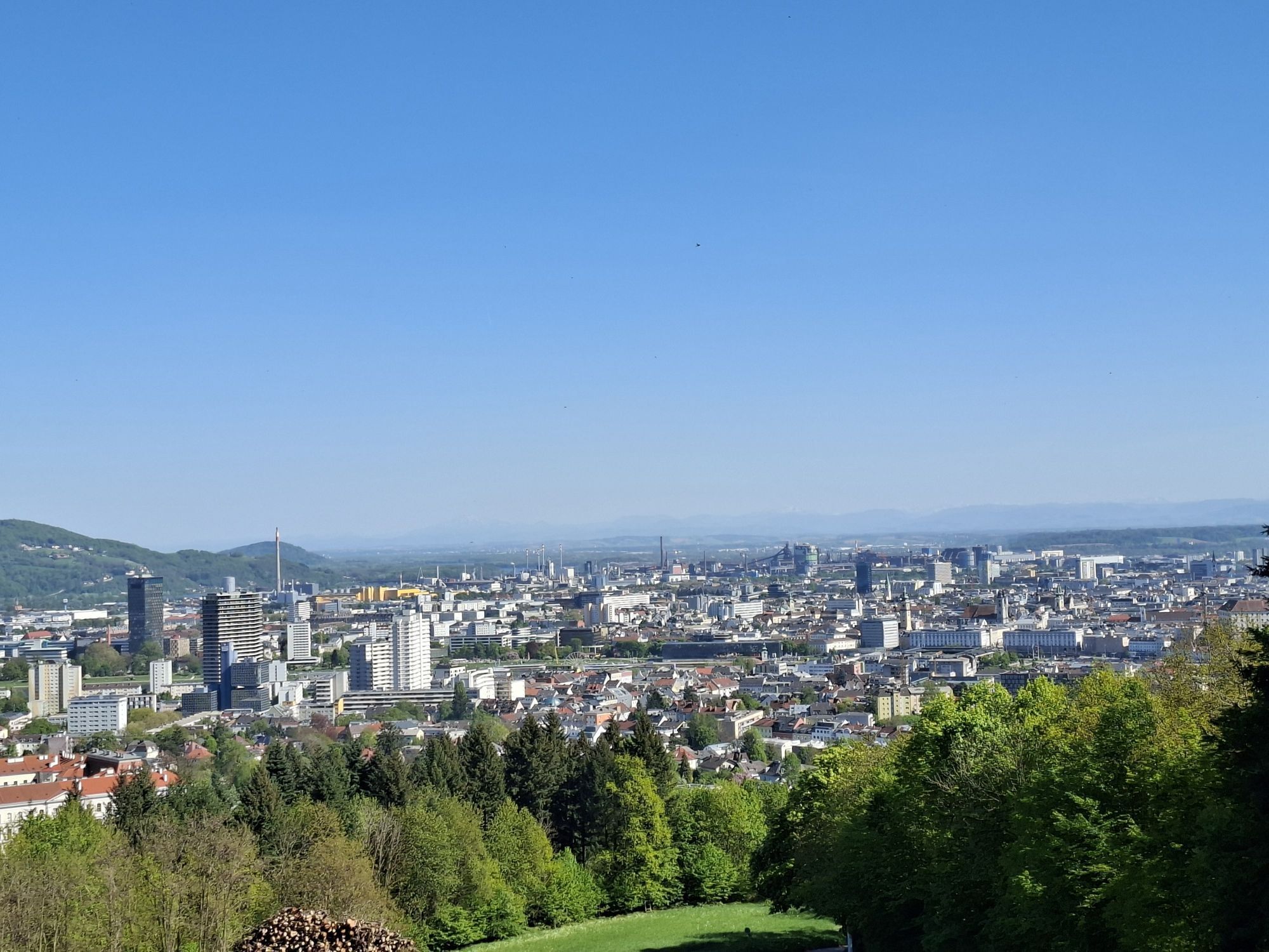
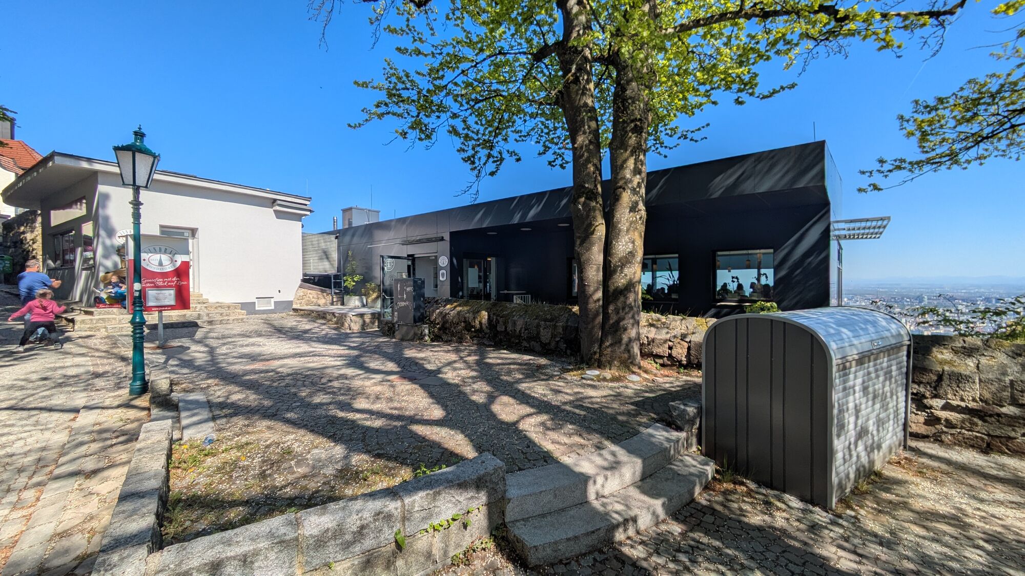
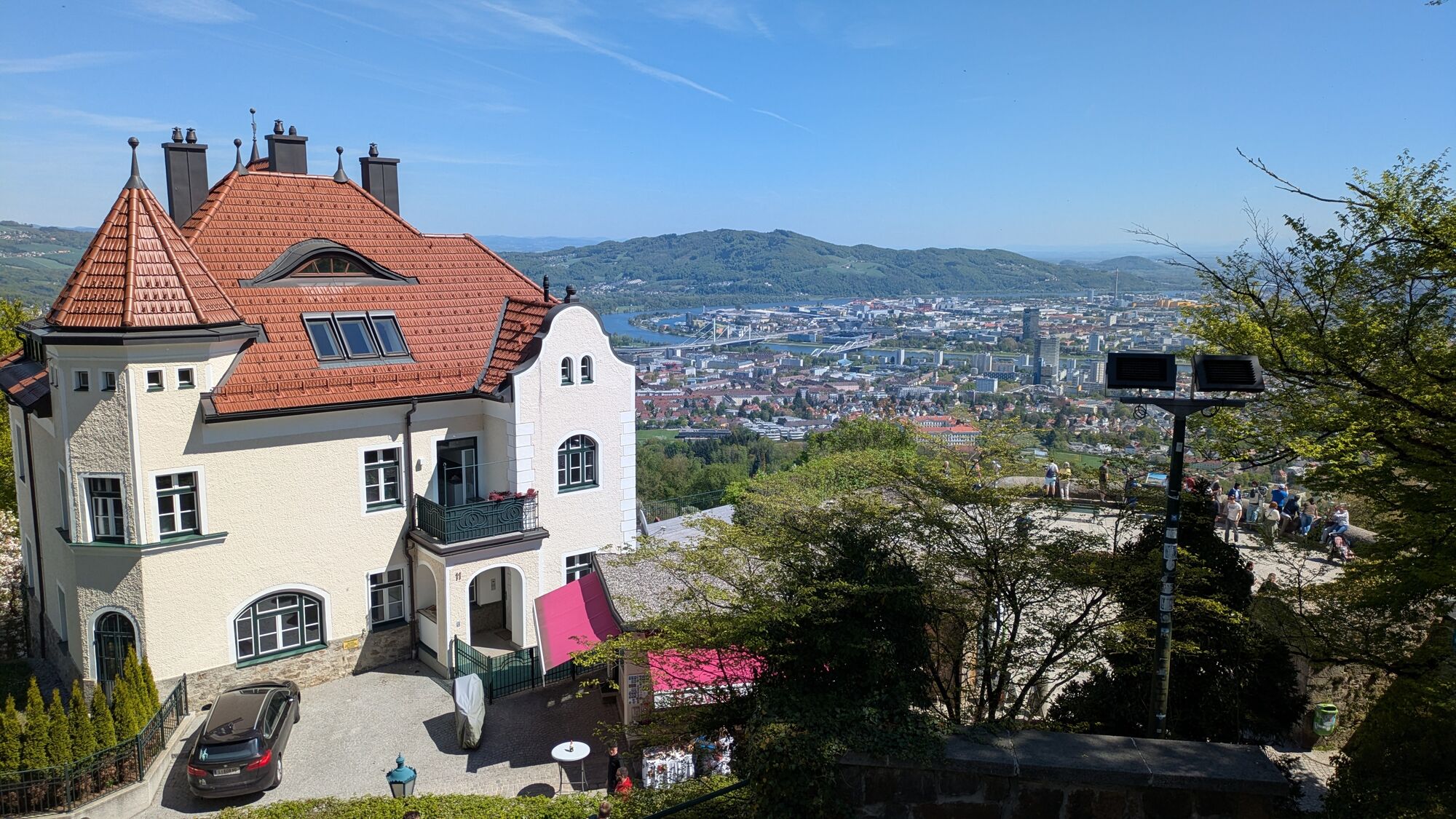
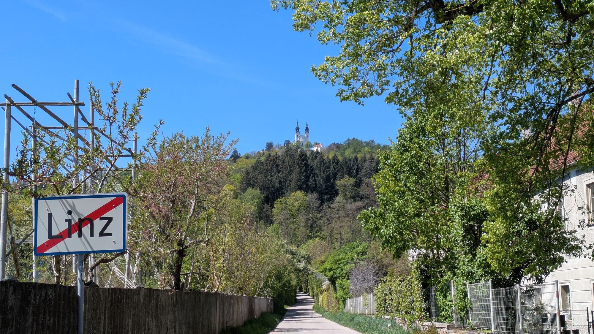
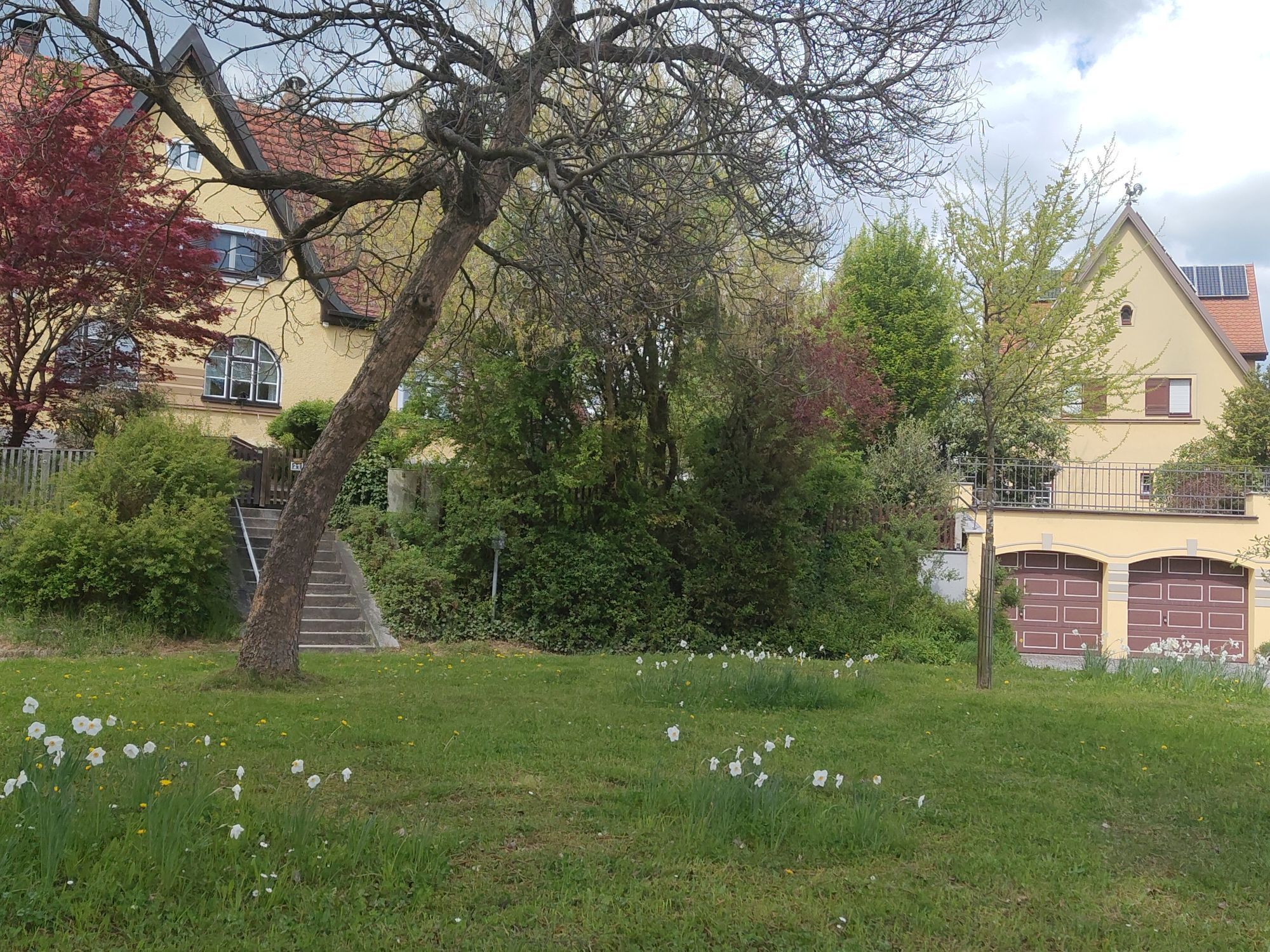
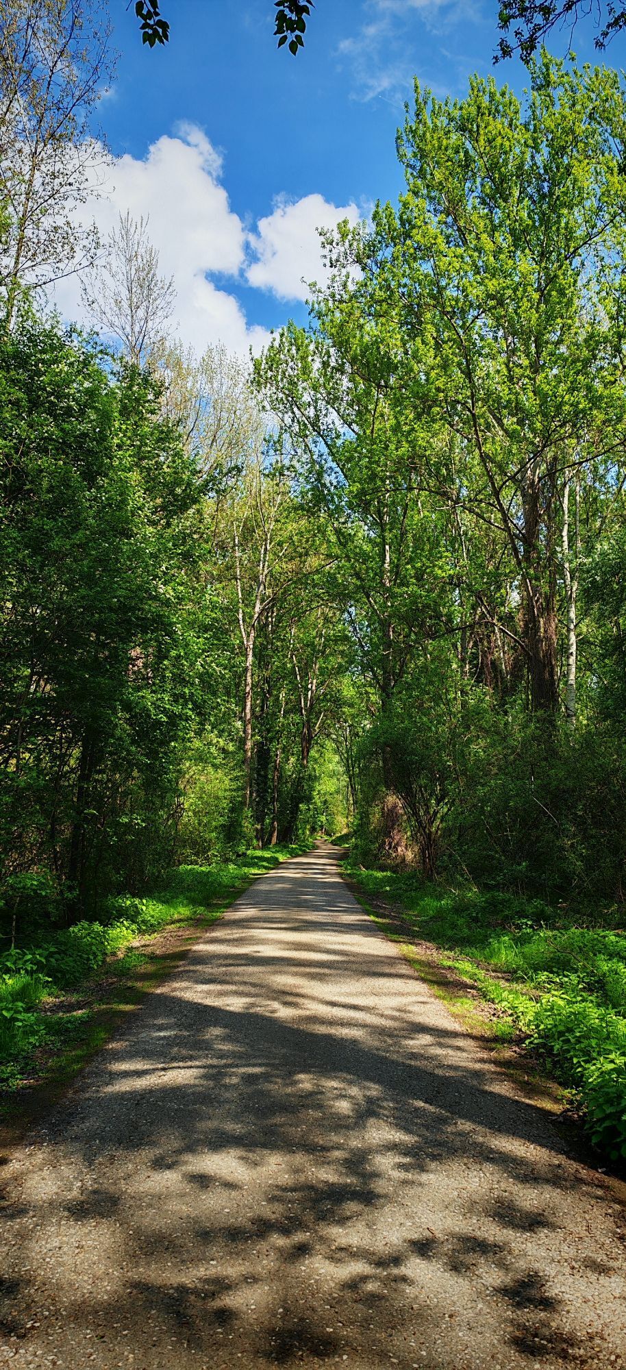
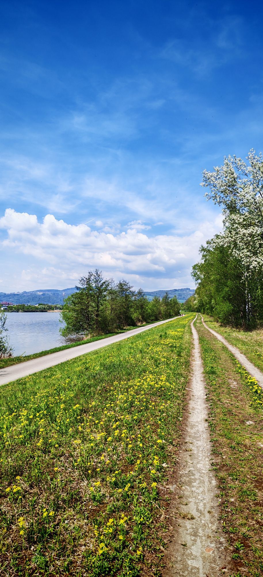
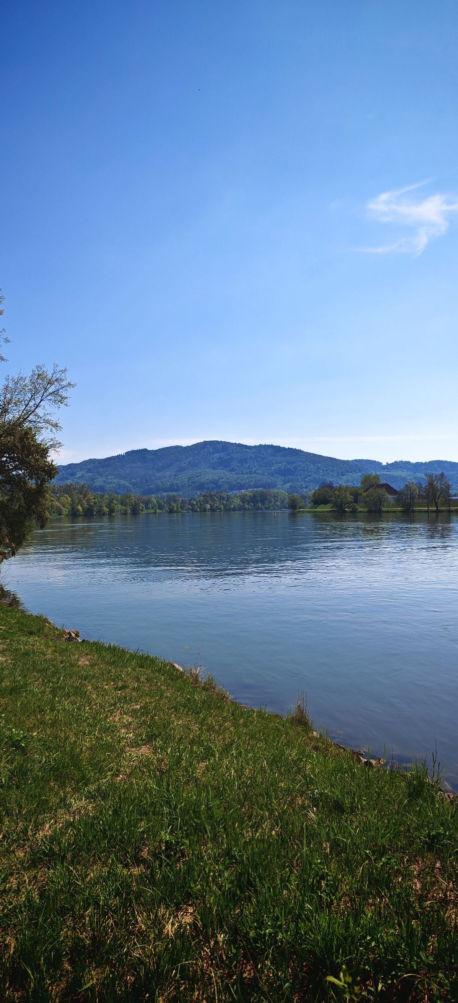
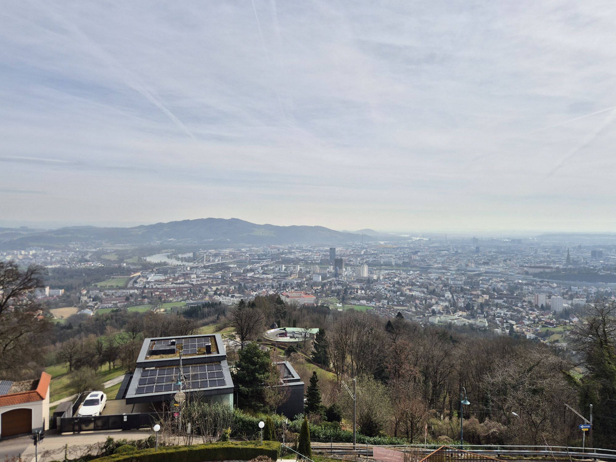
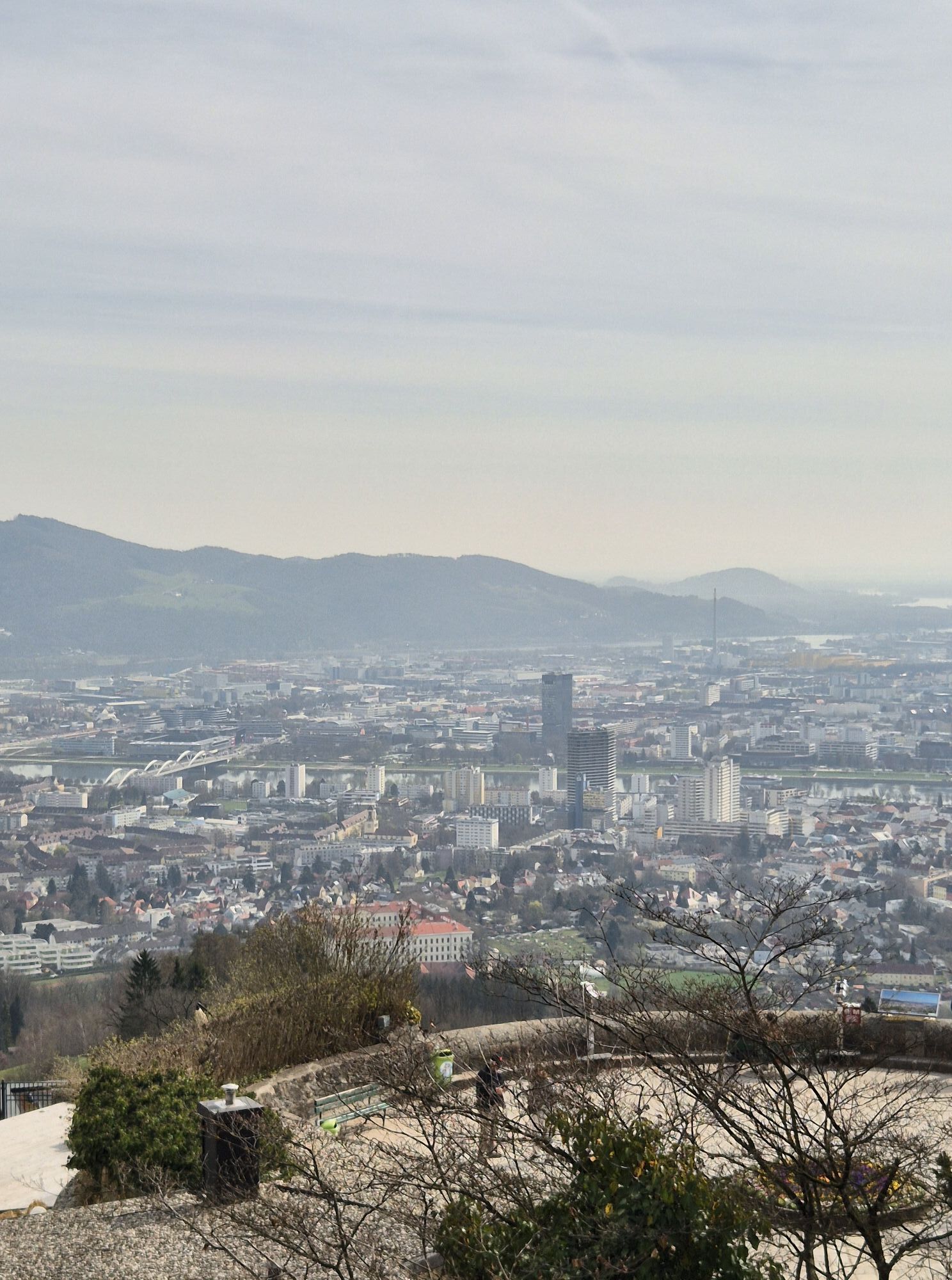
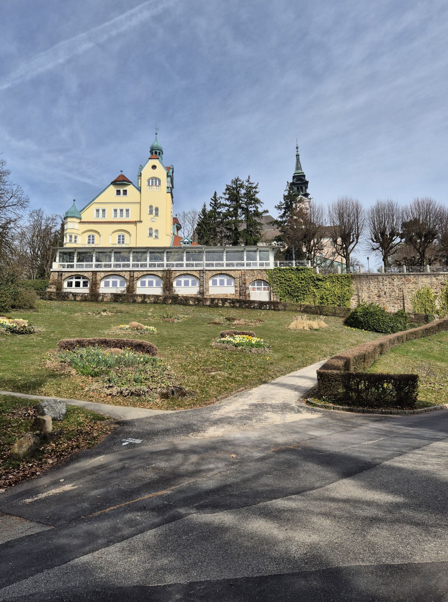
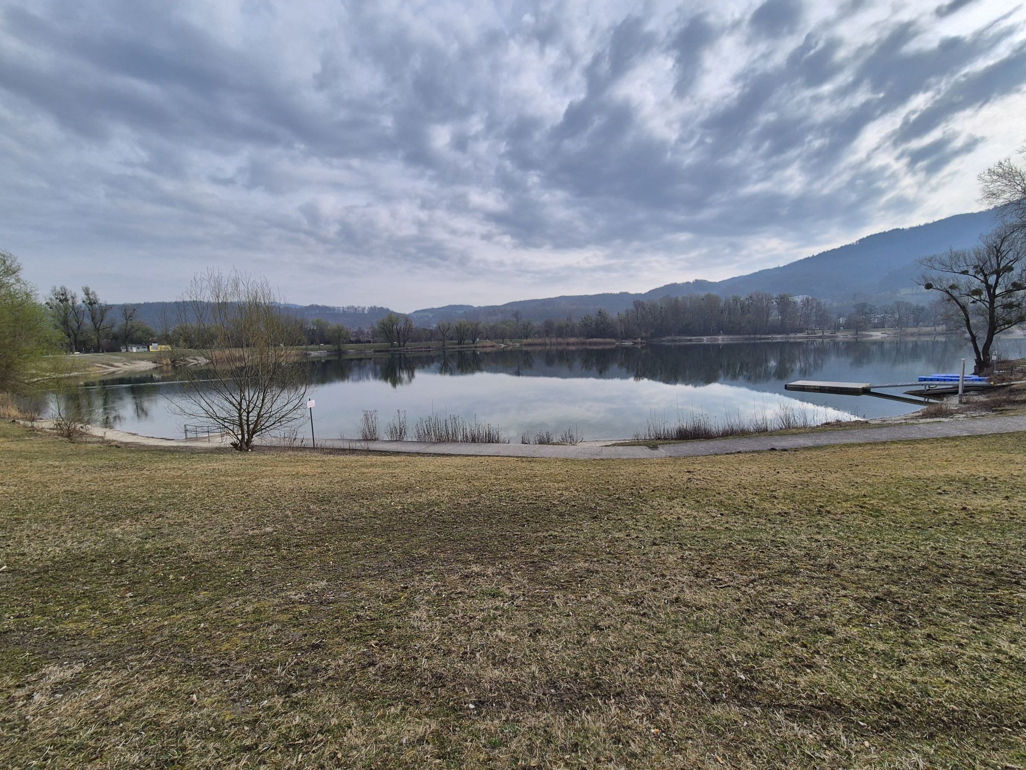
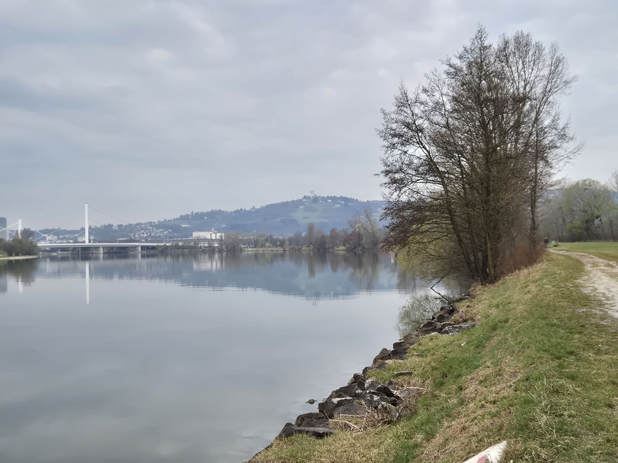
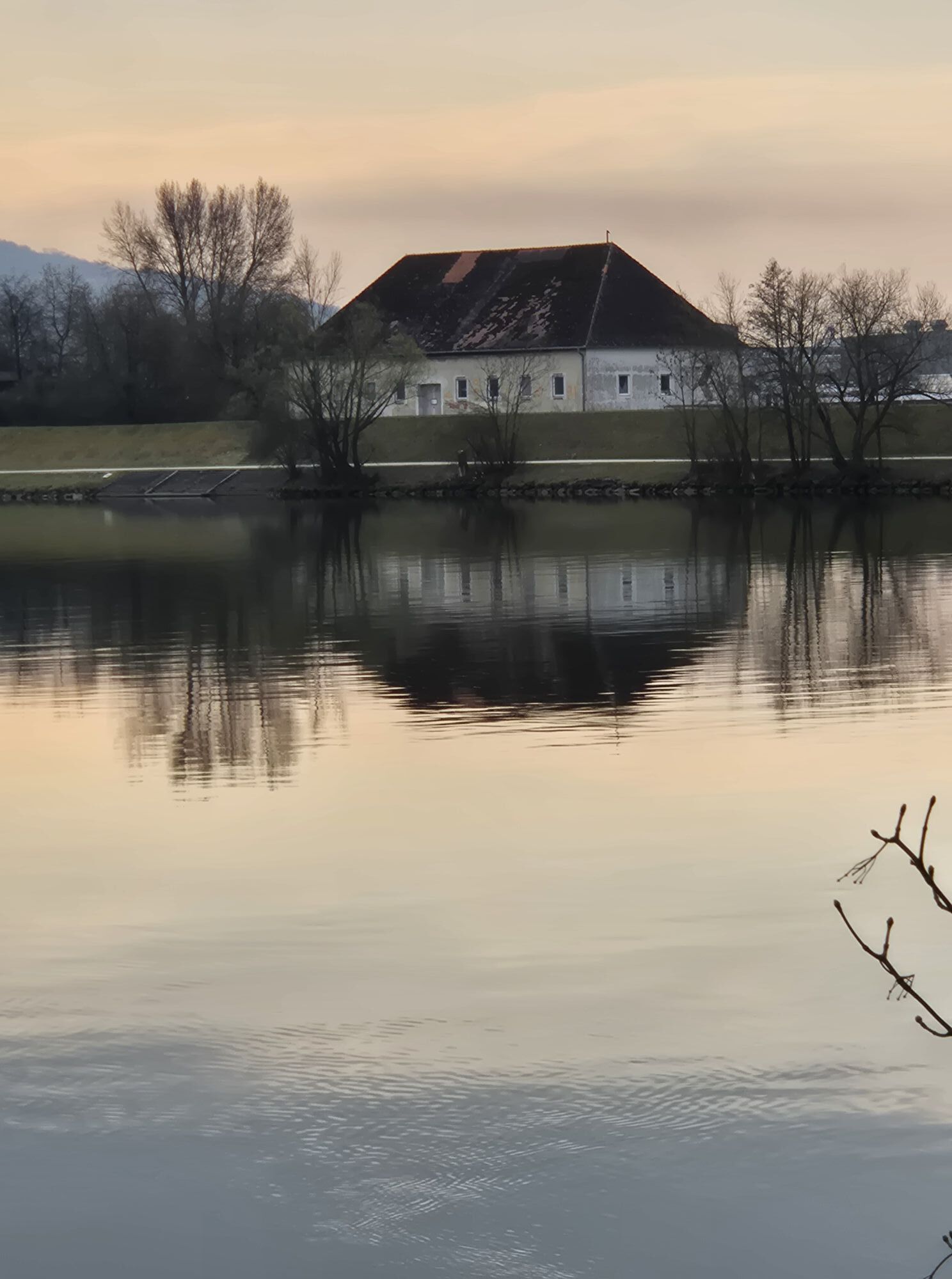
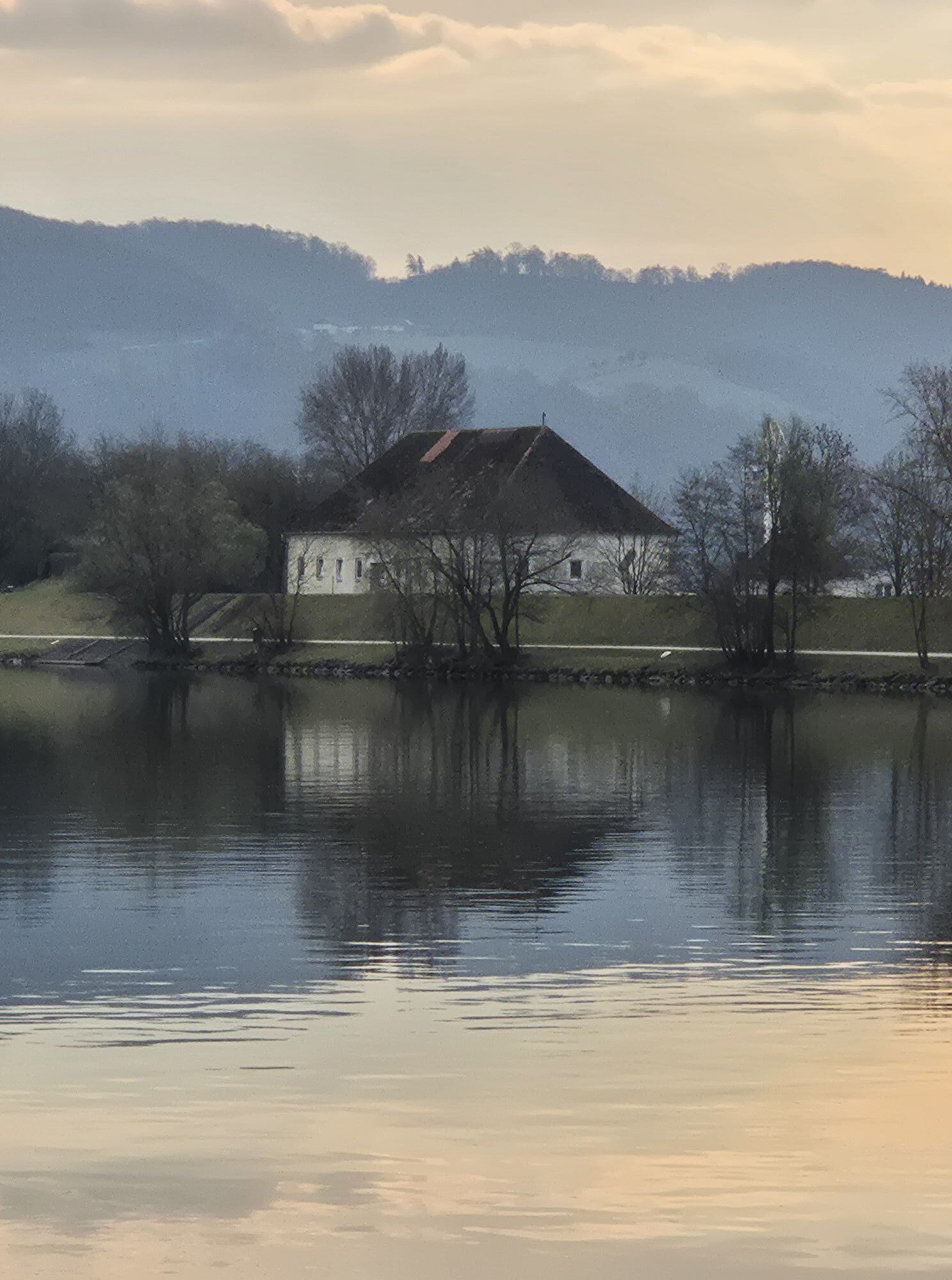
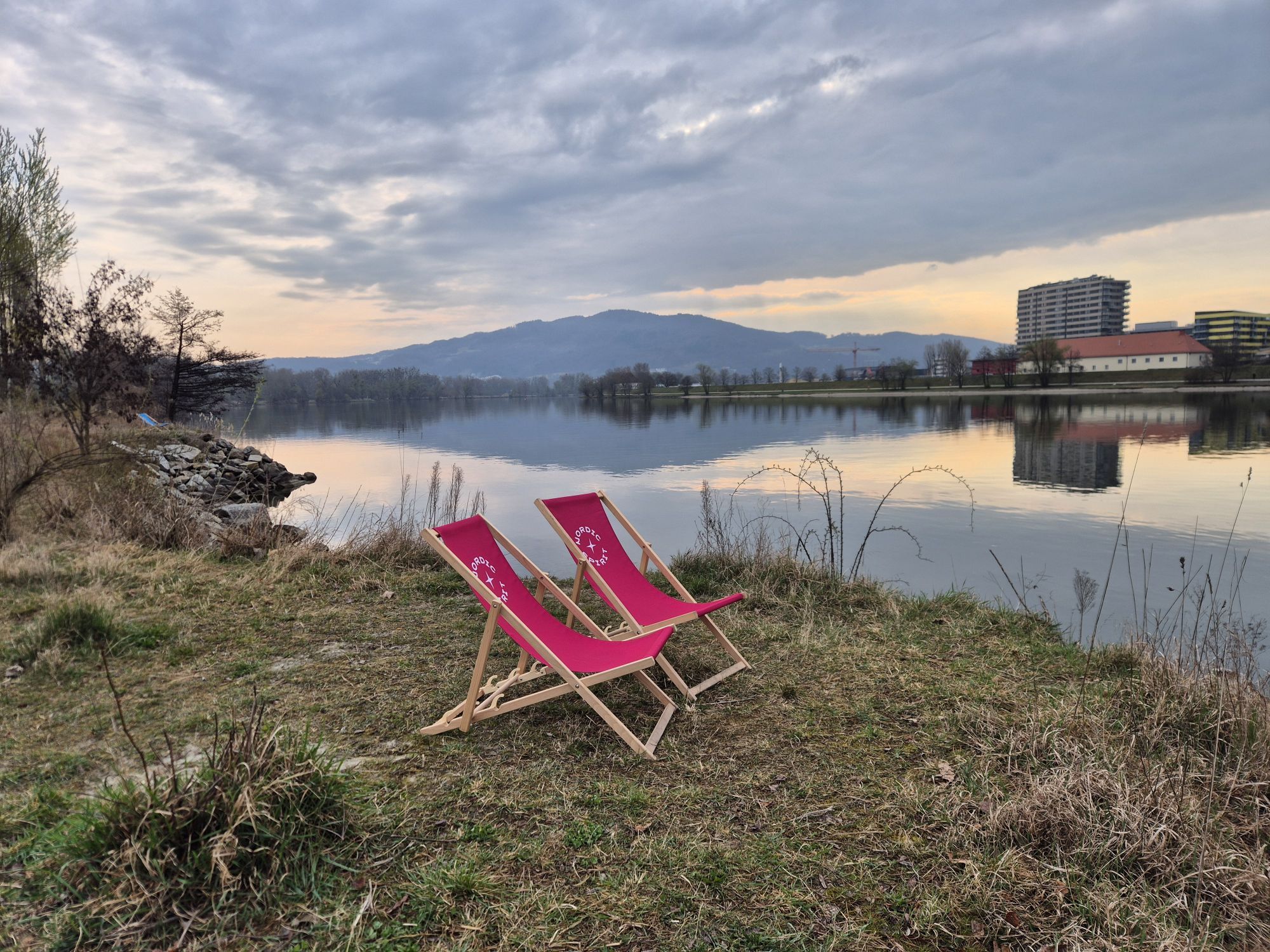
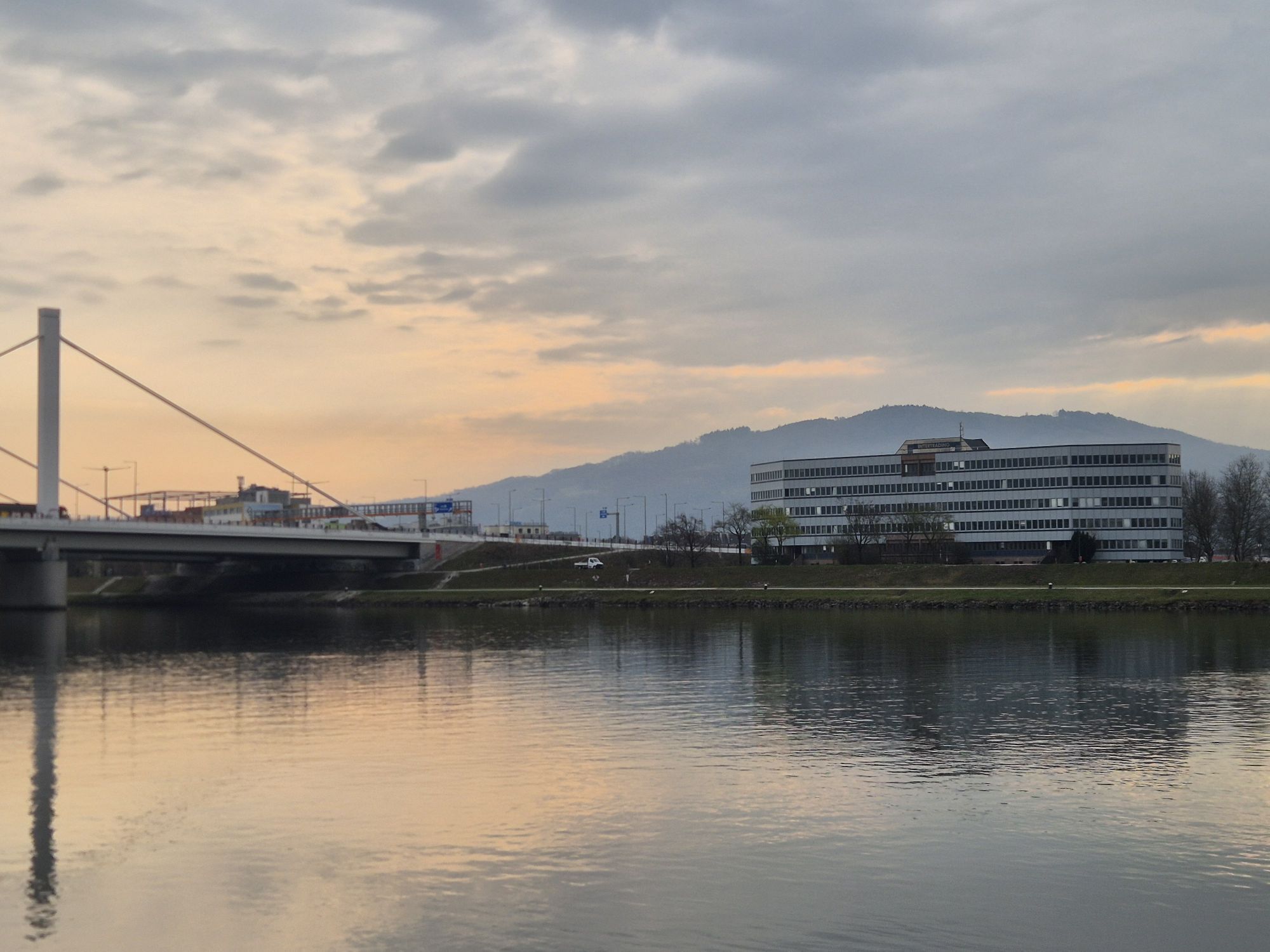
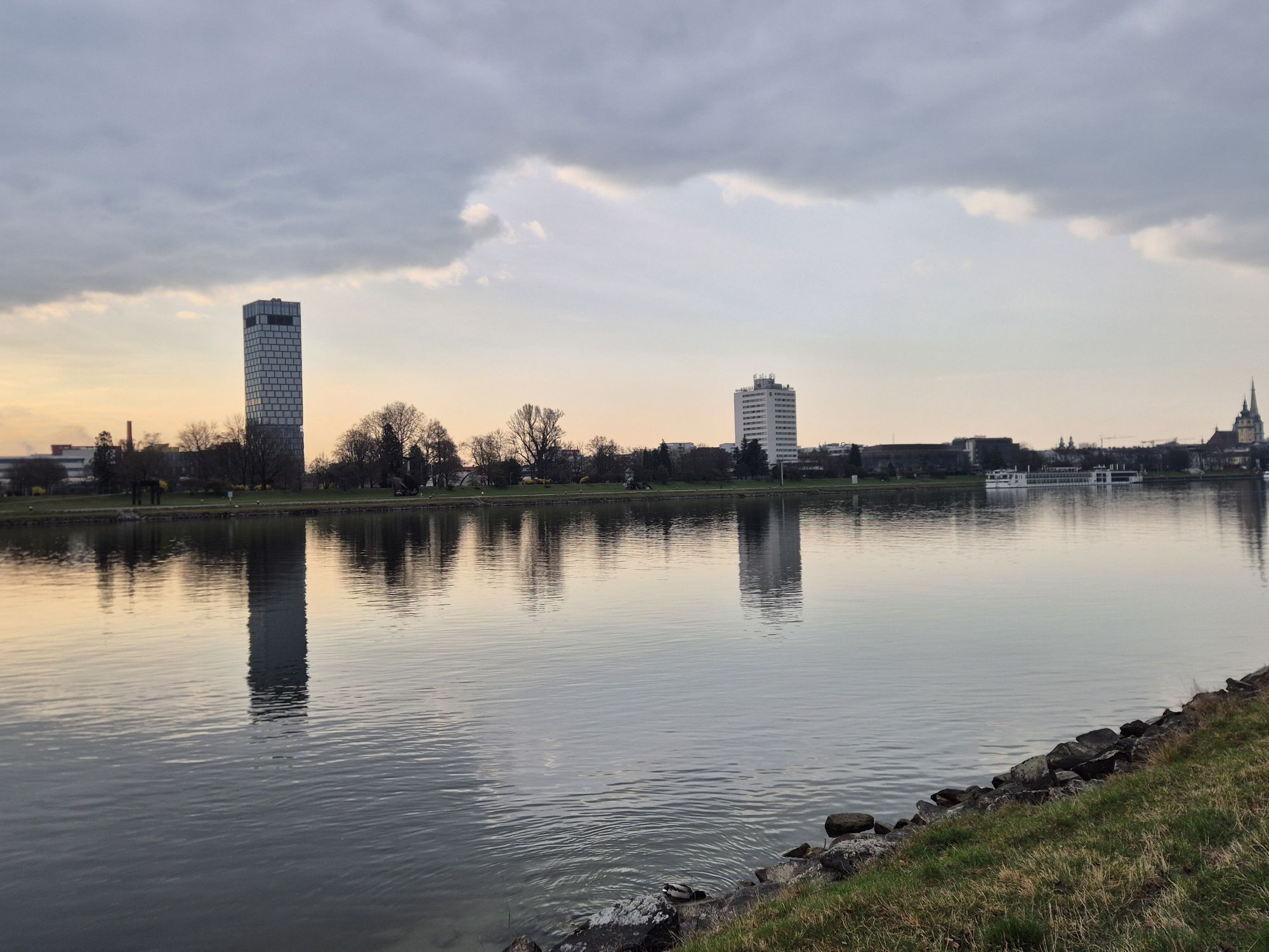
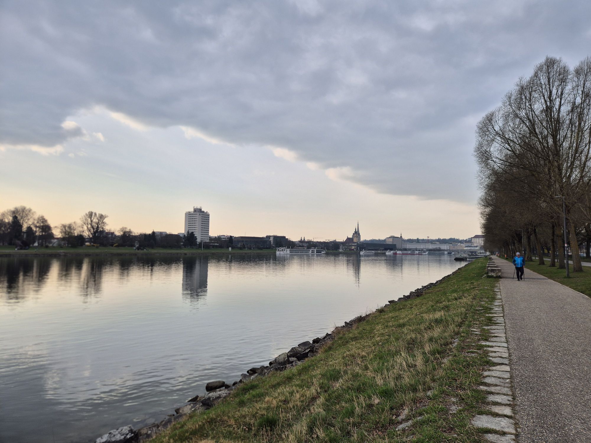
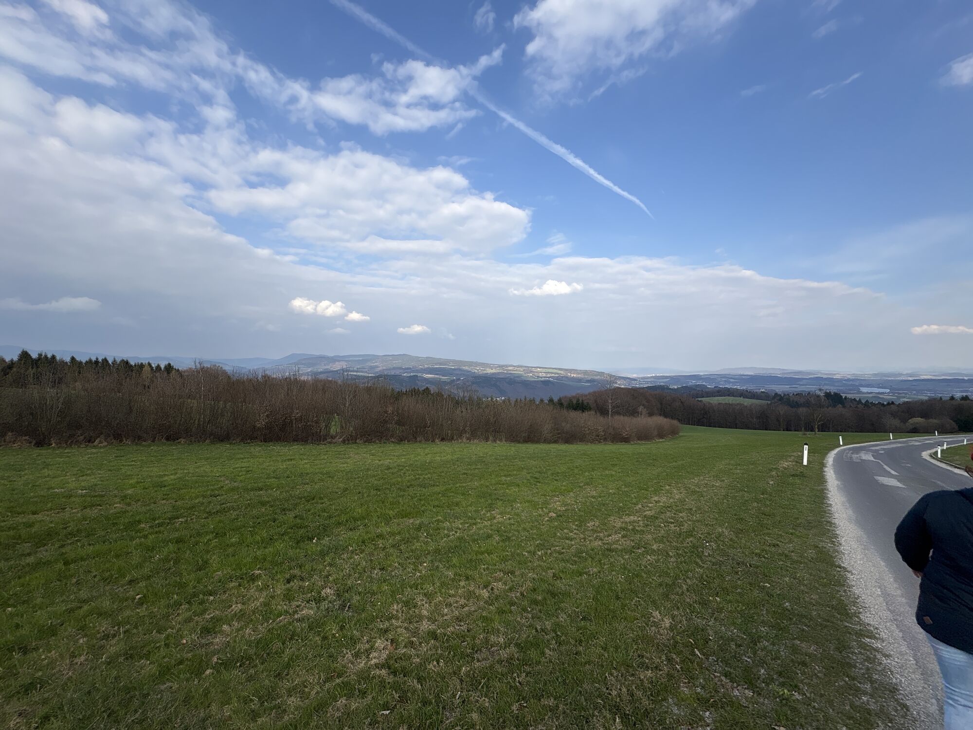
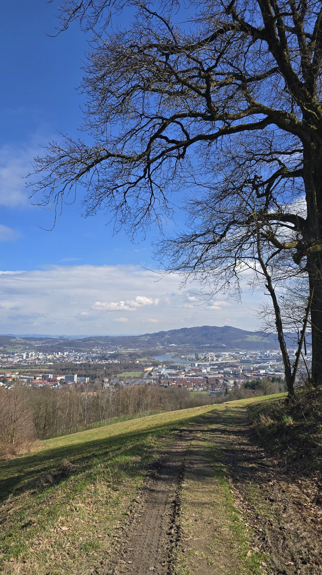
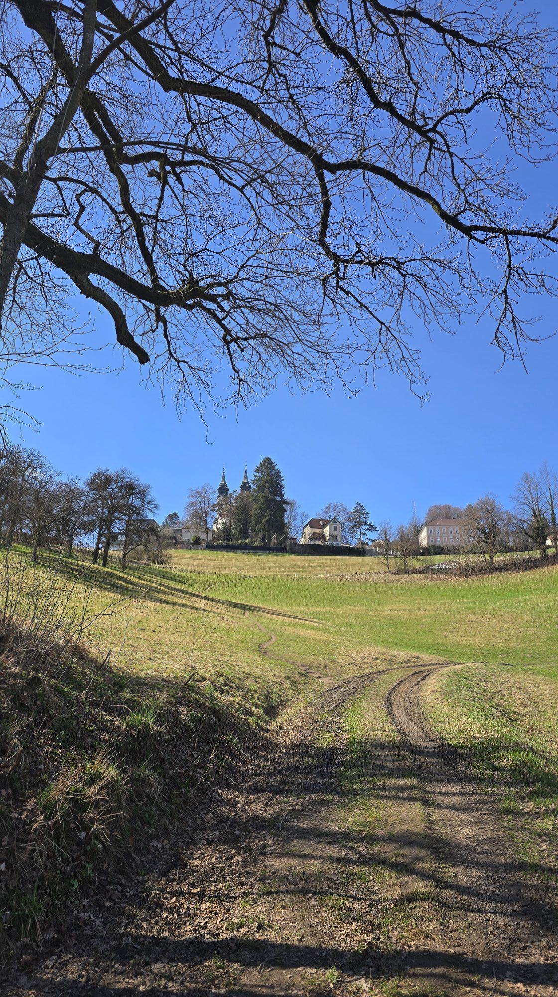
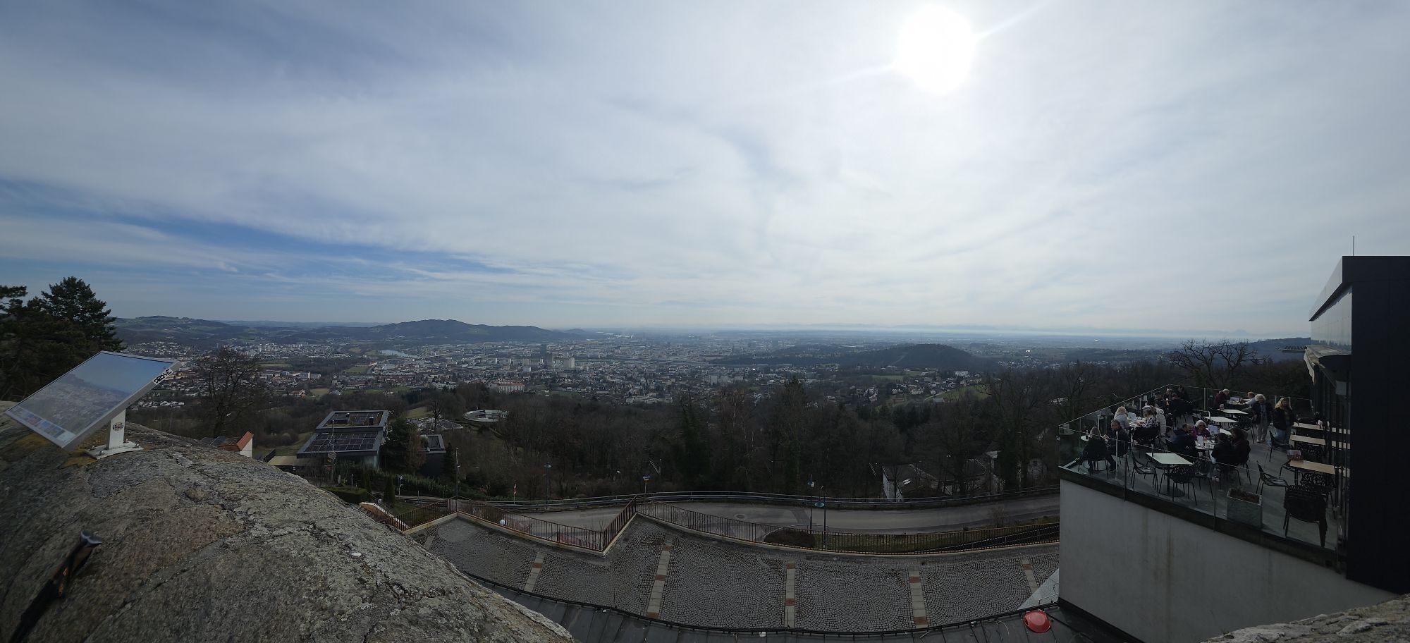
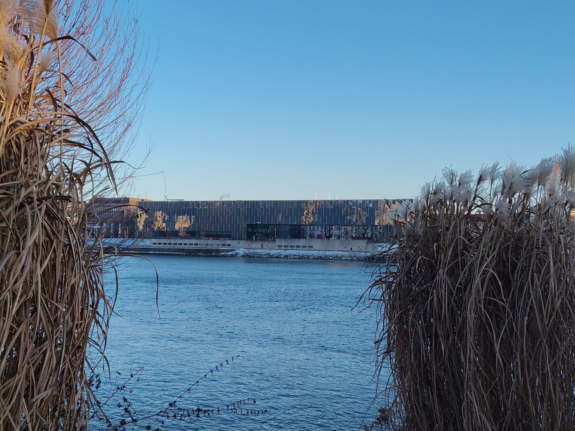
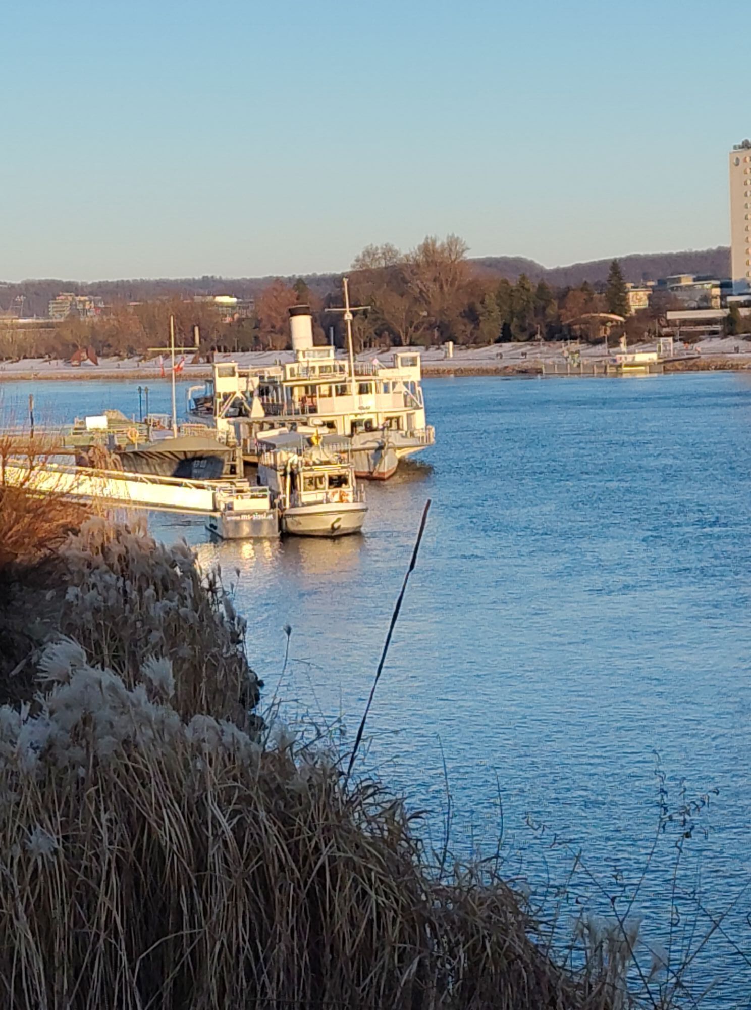
The Jakobsweg comprises a whole network of pilgrimage routes across Europe and ends in Santiago de Compostela, in Galicia, Spain, at the tomb of the Apostle James. In Austria, some routes also lead to...
<p>The Jakobsweg comprises a whole network of pilgrimage routes across Europe and ends in Santiago de Compostela, in Galicia, Spain, at the tomb of the Apostle James. In Austria, some routes also lead to the "real" Jakobsweg. The most important route runs from east to west, part of which consists of the four pilgrimage stages described here (Melk - Linz). The beginnings of the Jakobsweg can be traced back to the 11th century, and the path through Austria is said to have been walked year after year by believers from Hungary, the Czech Republic, Slovakia and Austria since the 12th century. From the 1970s and 1980s, a real pilgrimage boom broke out, which still attracts many people today. Since 1987, the Jakobsweg has been a UNESCO World Heritage Site.</p>

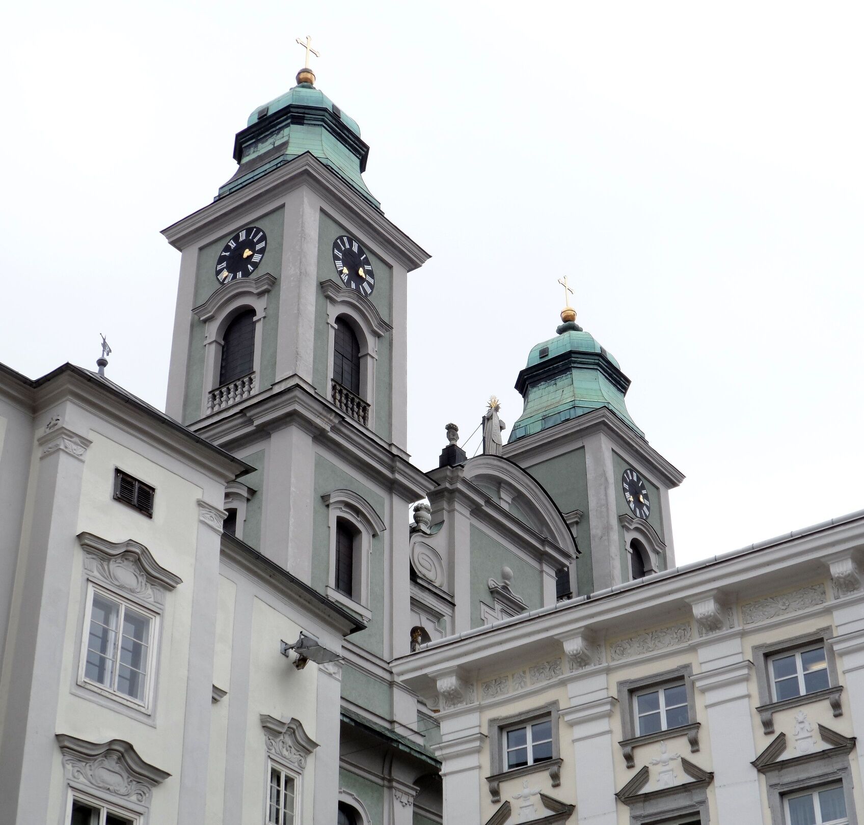
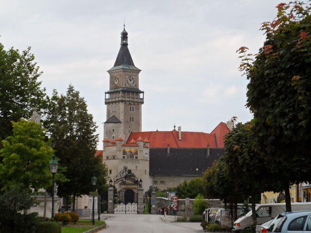
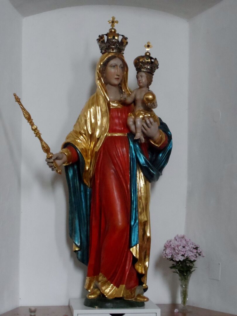
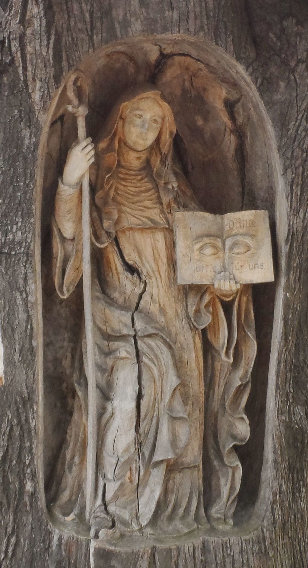
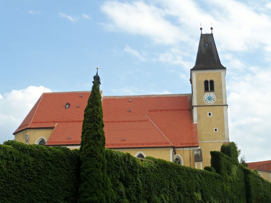
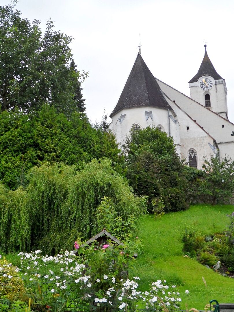
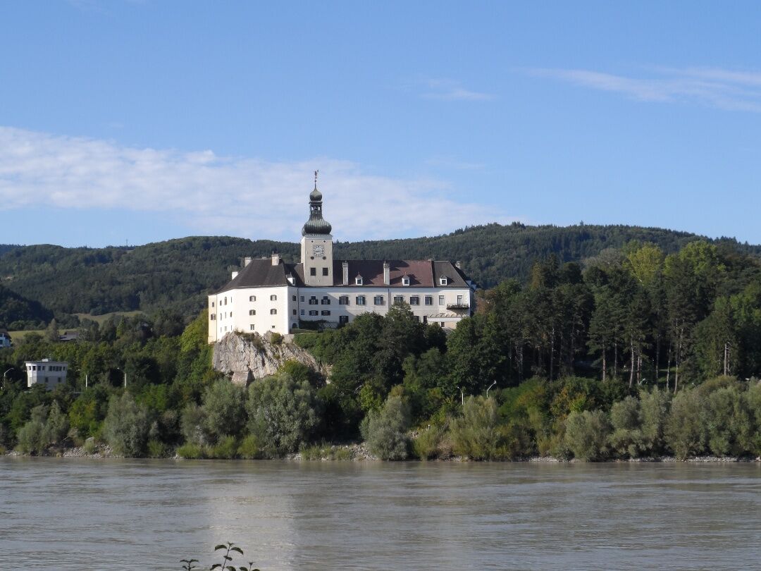
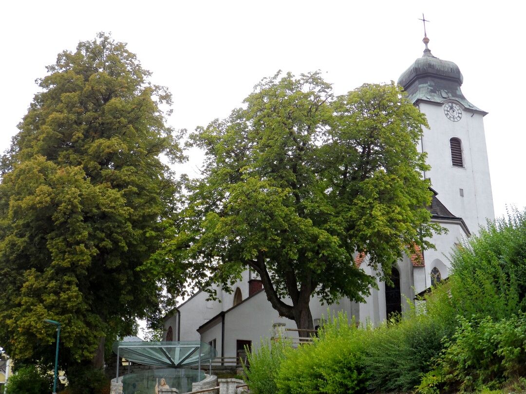
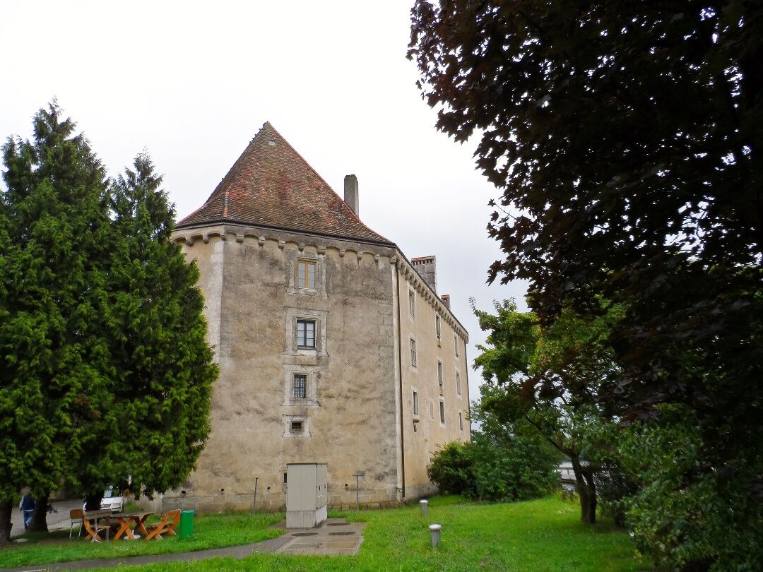
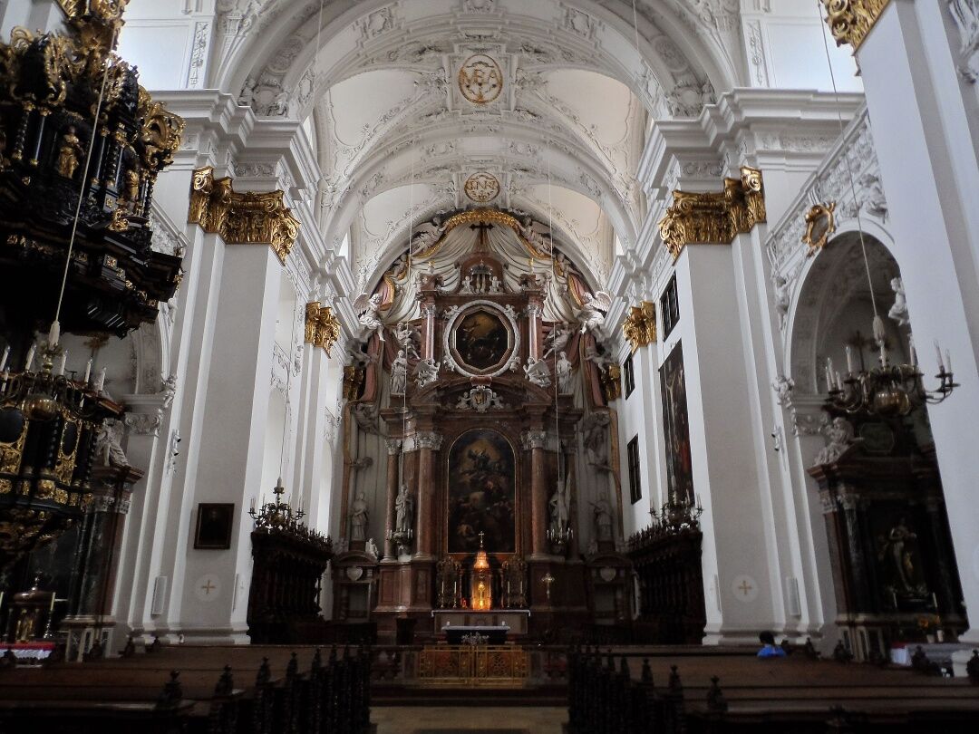
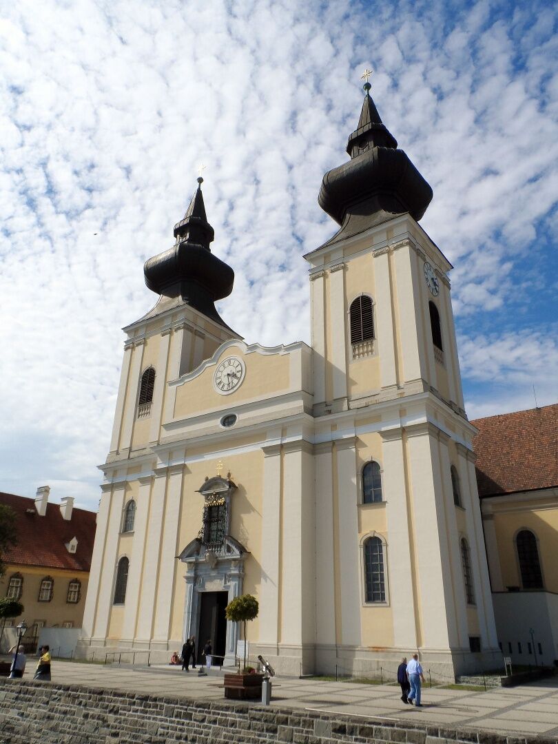
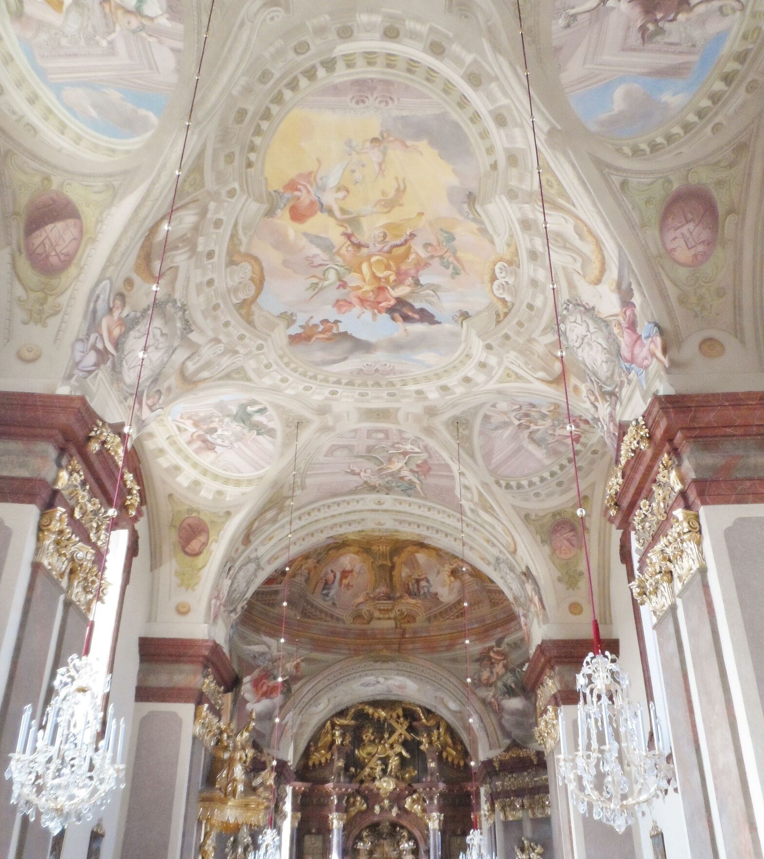
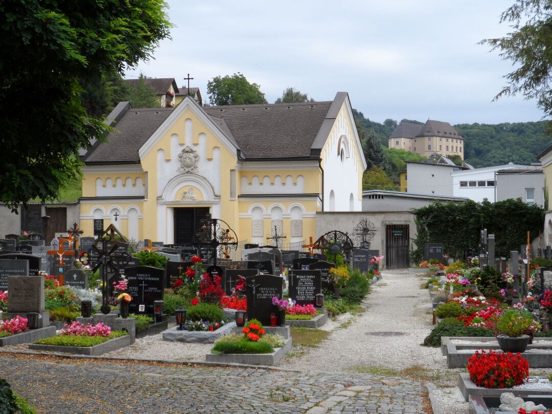
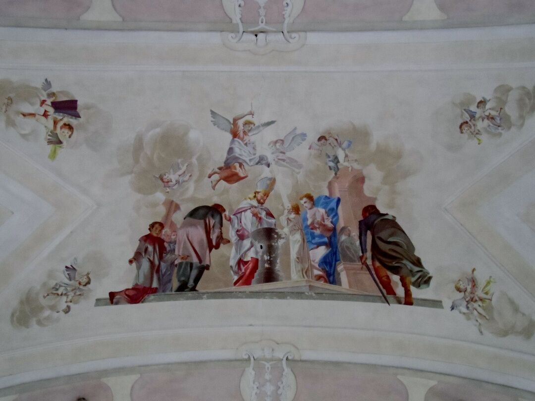
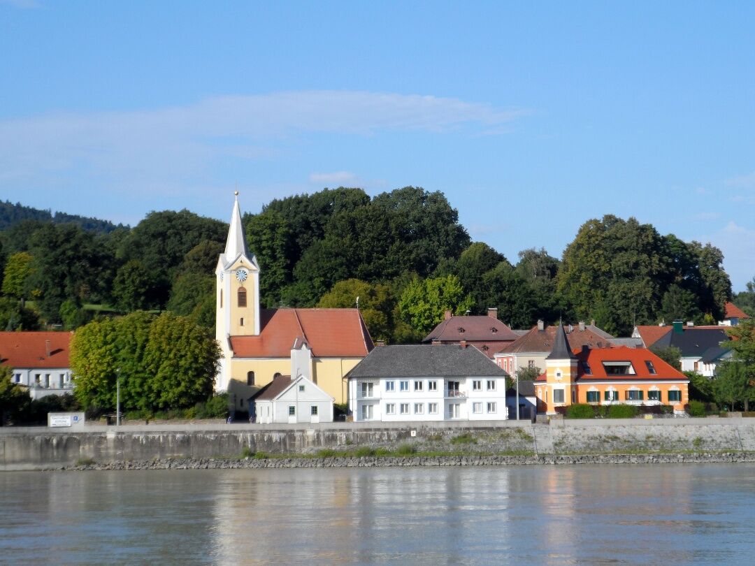
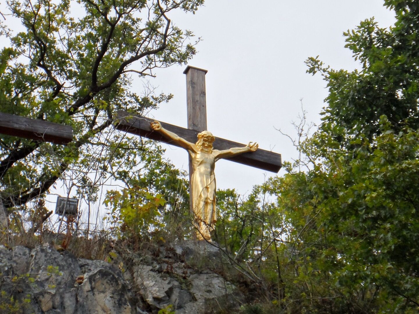
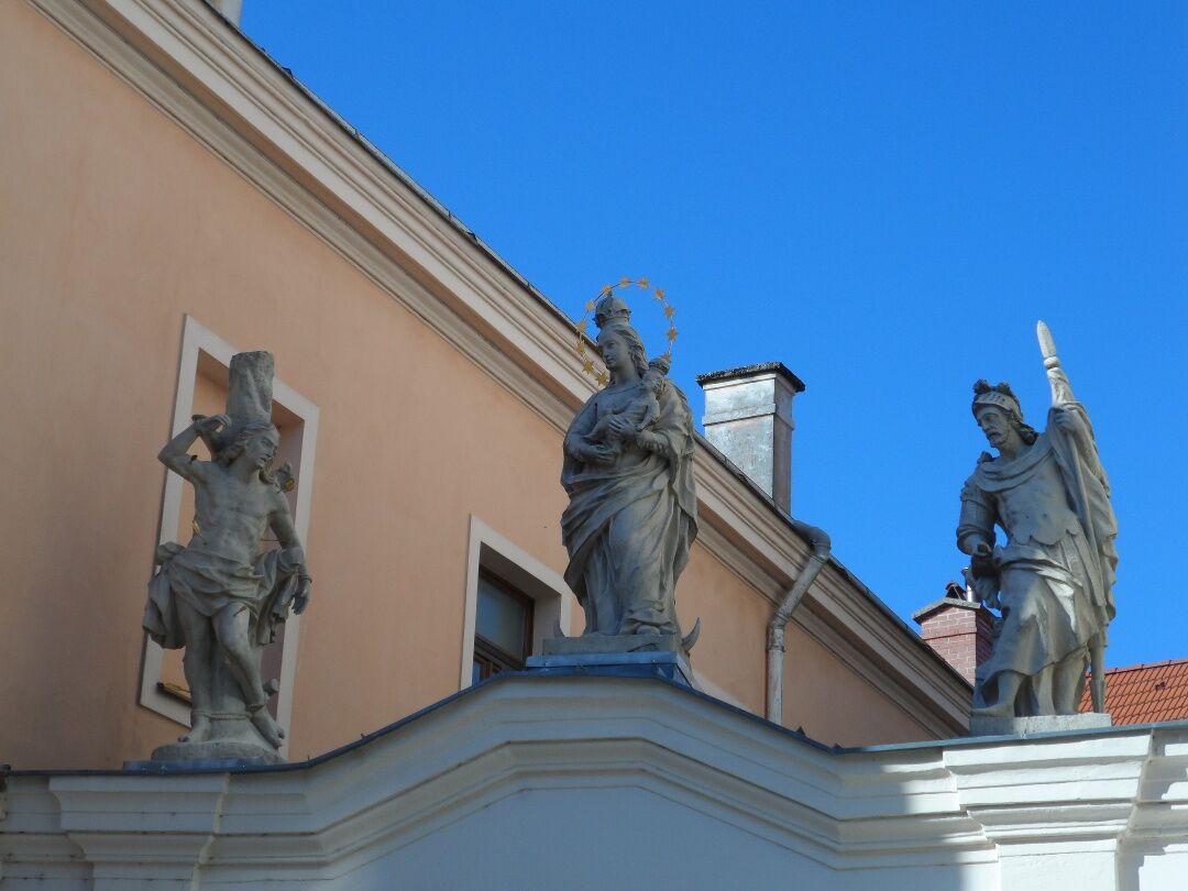

<p>A scenically outstanding part of the Austrian Jakobsweg runs through the Mostviertel. The route coming from Hungary and Slovakia enters the Mostviertel district of St. Pölten, runs over Herzogenburg, Göttweig Abbey and meets the northern route coming from the Weinviertel at Mautern. From here, the Jakobsweg runs over Maria Langegg to Melk, crosses the Danube into the southern Waldviertel and finally meets the picturesque pilgrimage site Maria Taferl. Now the pilgrim path leads downhill to Marbach and crosses the Danube at Persenbeug. It continues over Neustadtl and Kollmitzberg to Zeillern, where the Sunday Mountain path branches off via Seitenstetten to Sonntagberg. The Jakobsweg continues over Wallsee, Mauthausen to Linz-Pöstlingberg.</p>
<p>Maria Taferl is located halfway between Vienna and Linz and can be reached via the West Autobahn (exit 90 - Pöchlarn). In Pöchlarn, cross the Danube and then turn left. After Klein-Pöchlarn, it goes right uphill towards Maria Taferl.</p>
<p>From Amstetten or St. Pölten you can take the regional express to Pöchlarn; from there a post bus (NG1) goes to Maria Taferl. Stop "Maria Taferl Ortsmitte".</p>
<p>Parking is available in the center of Maria Taferl (east of the basilica).</p>
Mostviertel Tourismus GmbH
Töpperschloss Neubruck, Neubruck 2/10, 3283 Scheibbs
T +43/7482/20 444
info@mostviertel.at , www.mostviertel.at
Upper Austria Tourism Information
Freistädter Straße 119, 4041 Linz
info@oberoesterreich.at
www.wandern.at
Useful maps:
ÖK 4322 Pöchlarn, ÖK 4327 Amstetten, ÖK 4328 Scheibbs,
ÖK 4203 Waidhofen, ÖK 4204 Lunz
All at a scale of 1:50,000 (also available in enlargement 1:25,000)
F&B hiking maps 052 Mostviertel (1:50,000),
Kompass Hiking Guide 1085 Jakobsweg
Important telephone numbers:
Alpine emergency call: 140, International emergency call: 112
Recommended literature:
Hiking Guide Jakobsweg Austria, www.kompass.at
On the Jakobsweg through Austria, www.tyrolia-verlag.at
Pilgrimage routes, www.kral-verlag.at
Pilgrimage routes to Mariazell – Volume West + South, www.styriabooks.at
Kamery internetowe z trasy
-
Puchenau
-
Neustadl
-
Neustadl
-
Linz/Pöstlingberg
-
Linz / Donau
-
Linz - Arcotel Nike Linz
-
Au an der Donau
-
Hauersdorf
-
Golfclub Luftenberg
-
hello yellow Pumptrack/Velodrom
-
Ybbs an der Donau
-
Ybbs an der Donau
-
Pleschinger See
-
Pichlinger See
-
hello yellow Pumptrack/Velodrom
-
hello yellow Pumptrack/Velodrom
-
Puchenau
-
Puchenau Achleitnersiedlung
-
Puchenau Achleitnersiedlung
-
Ottensheim - Dürnberg
-
Leonding
-
See - Ausee Cable / Hohenlohe Ausee
-
Lift - Ausee / Hohenlohe Ausee
-
Lift - Ausee / Hohenlohe Ausee
-
See - Ausee Cable / Hohenlohe Ausee
-
Linz / Hafen
-
Linz / Hafen

Popularne wycieczki w okolicy
-
4,5
Gobelwarte-Runde, Grein
średniWędrówka 8 km -
4,4
Gobelwarte - Grein, Oberösterreich
średniWędrówka 5,41 km -
4,8
Clamrunde durch die Schlucht
światłoWędrówka 5 km -
4,1
Wallsee Altarmrunde
światłoWędrówka 8,19 km -
4,8
R1.13 Alpenblick loop
średniJazda na rowerze 52,2 km -
4,1
Bad Kreuzen: Kreuzner Donaublickrunde
średniWędrówka 16,8 km -
4,3
Danube Cycle Path Stage 3 North Bank: Linz - Grein
światłoKolarstwo długodystansowe 60,4 km -
4,8
Burg Klam Rundweg
światłoWędrówka 10,9 km -
3,4
Perg: Kugelmanderl-Weg
światłoWędrówka 9,04 km -
4,4
R1.12 Weltstein Loop
średniJazda na rowerze 38,9 km
Wędrówki i tropienie


Nie przegap ofert i inspiracji na następne wakacje
Twój adres e-mail została dodana do listy mailingowej.





