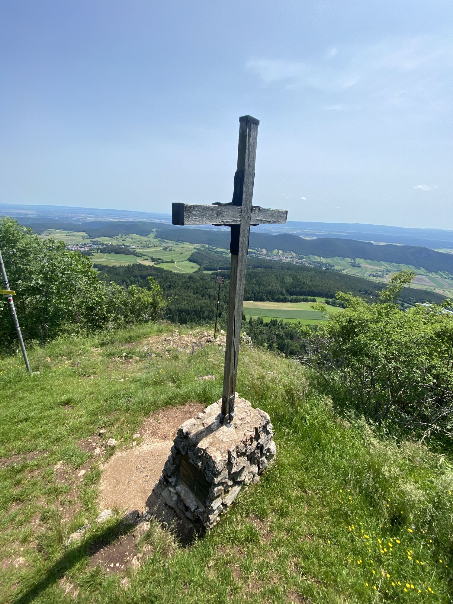
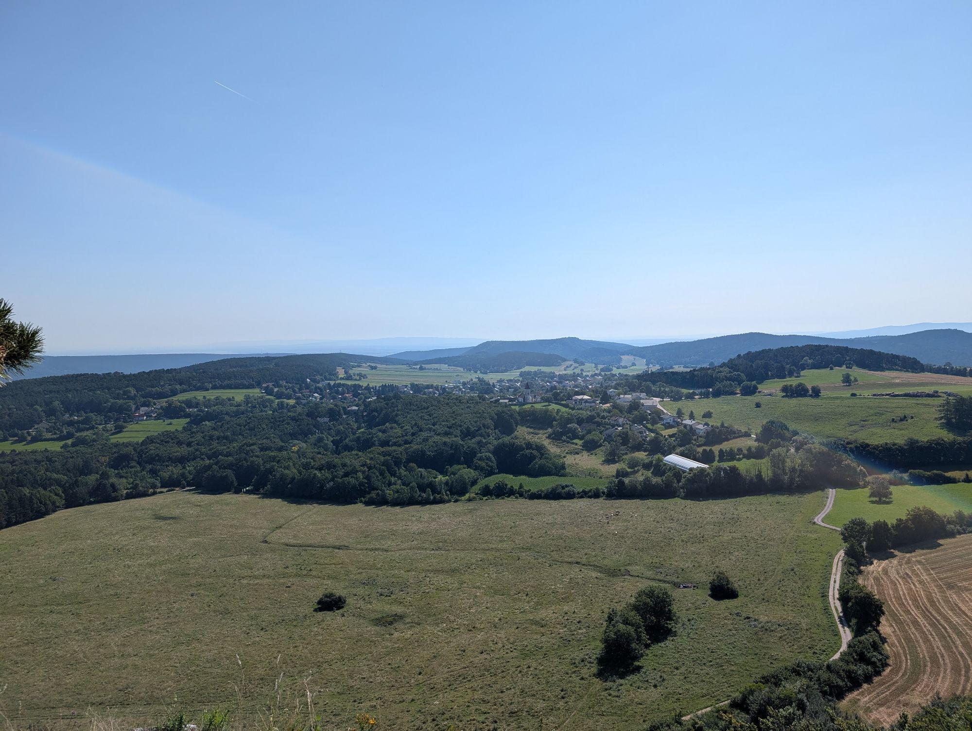
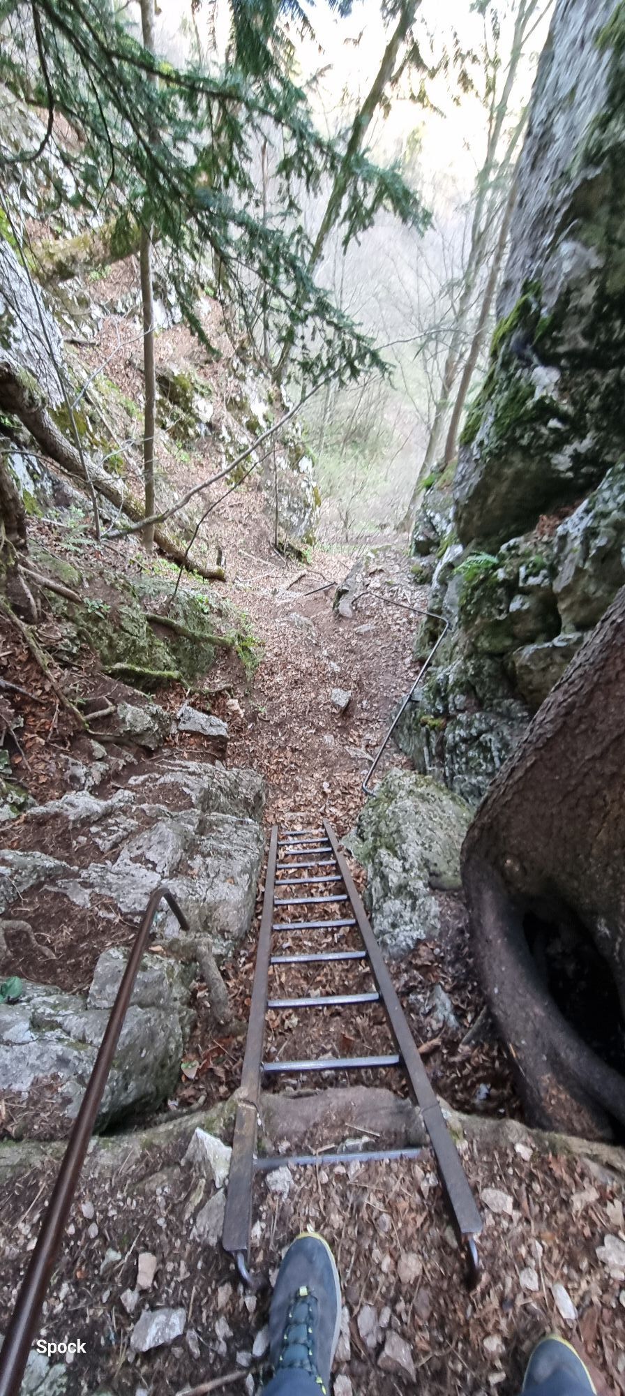
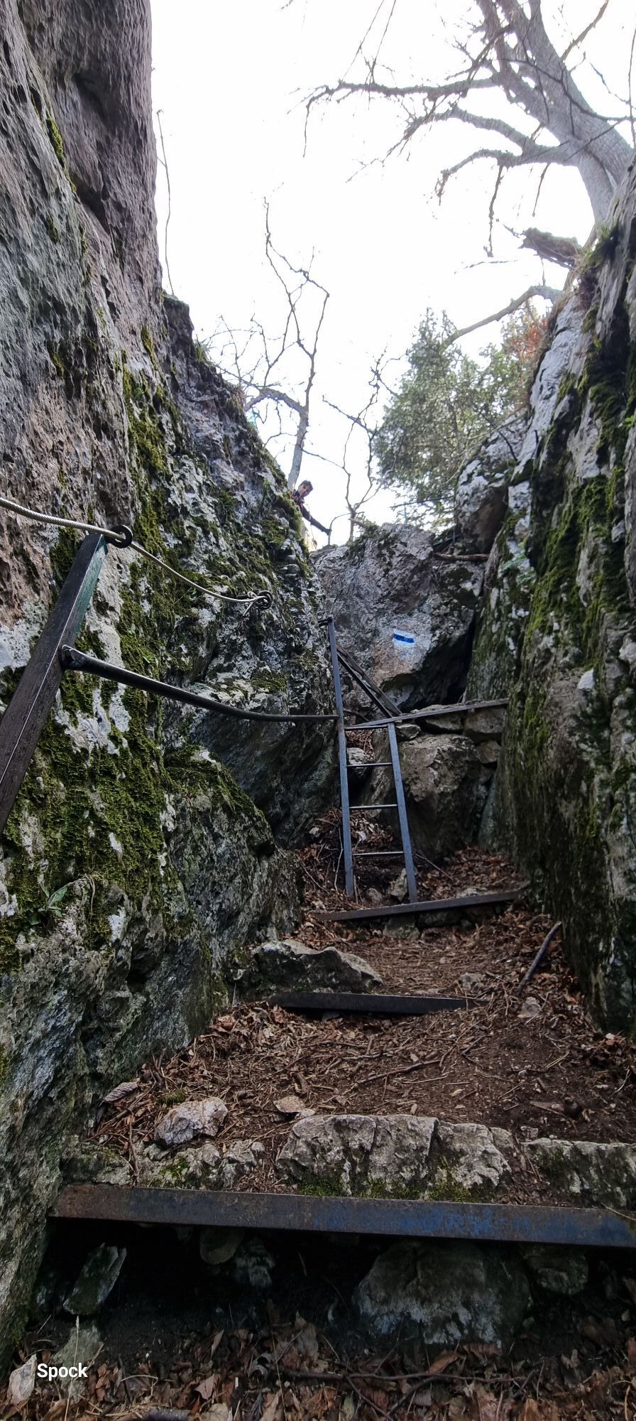
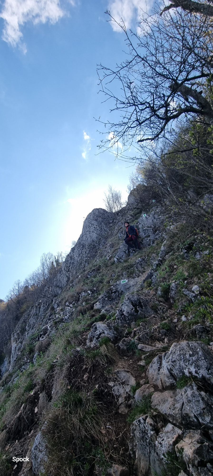
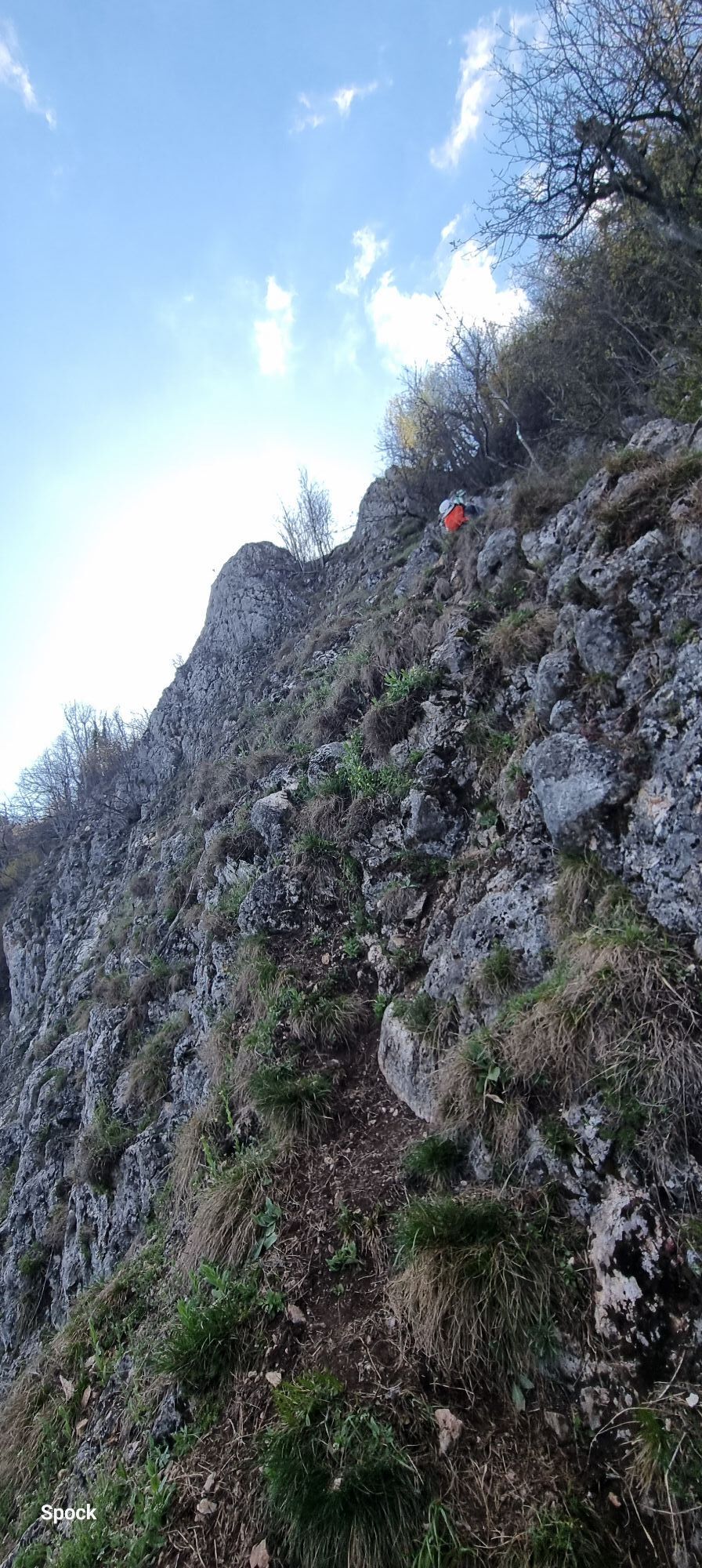
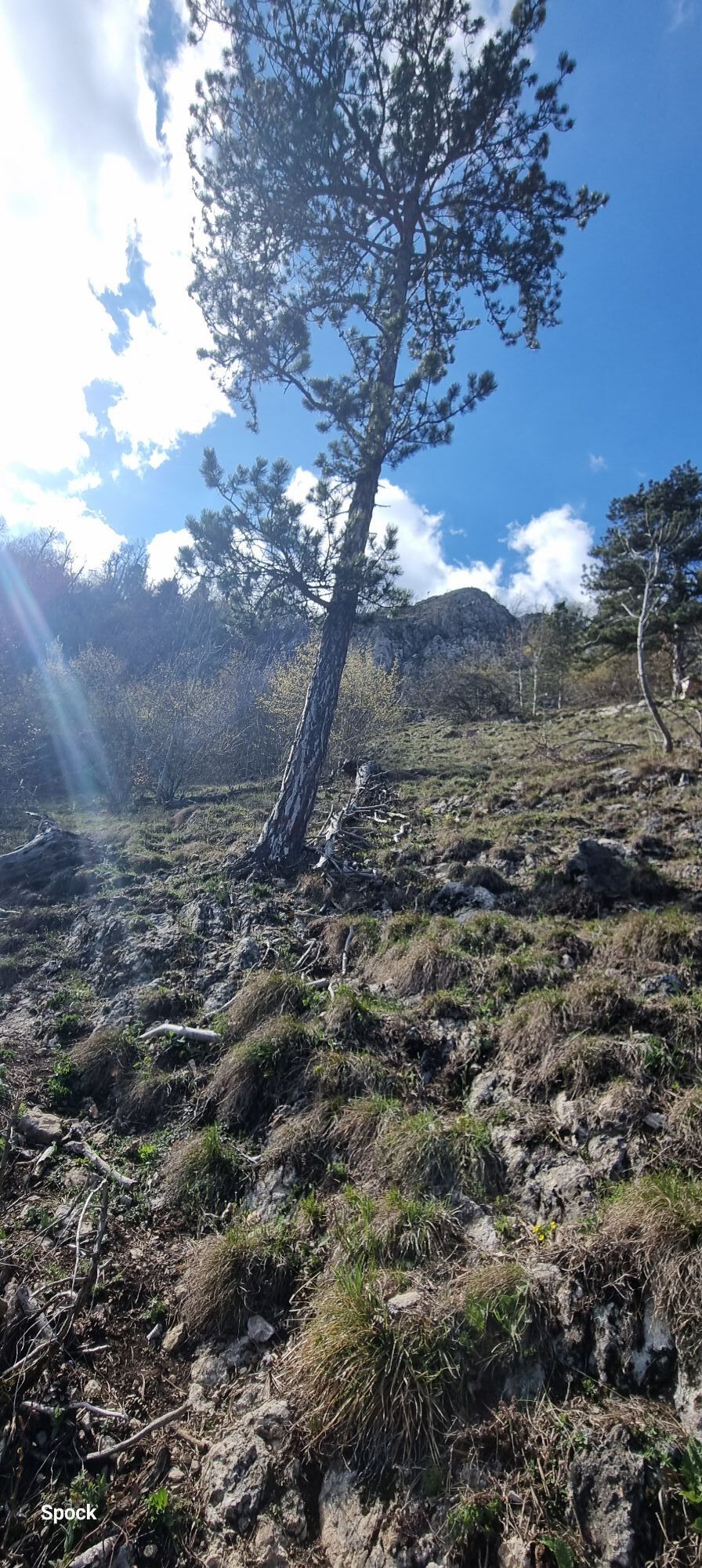
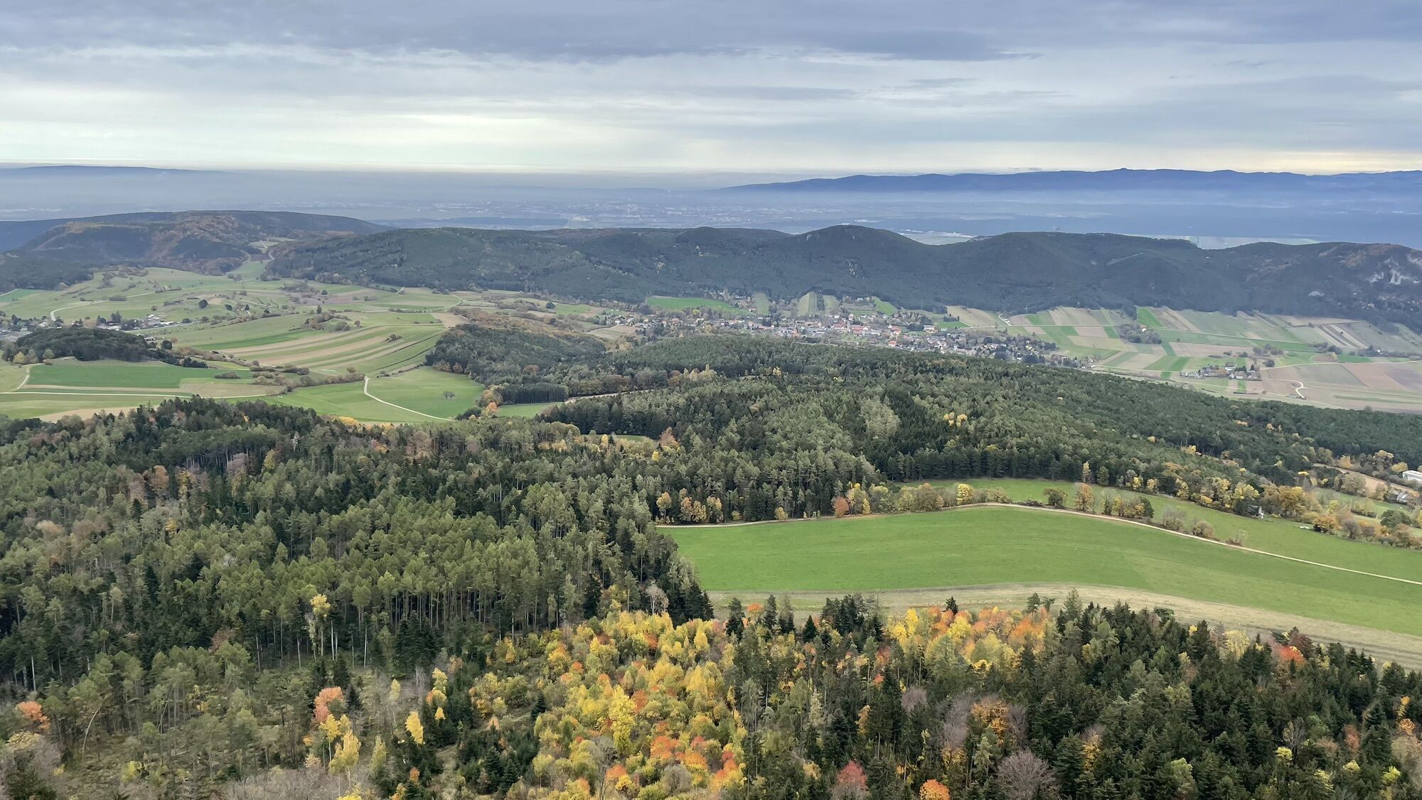
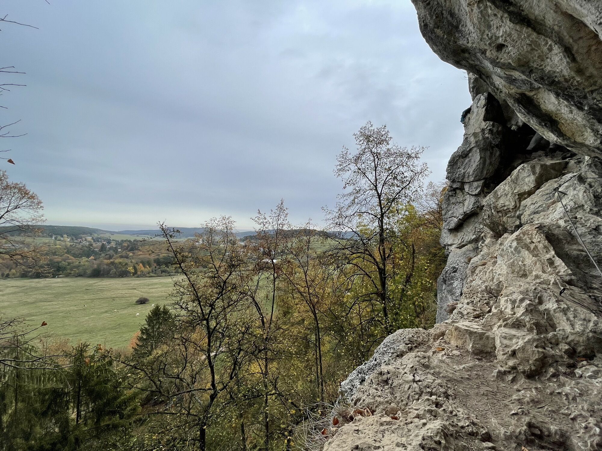
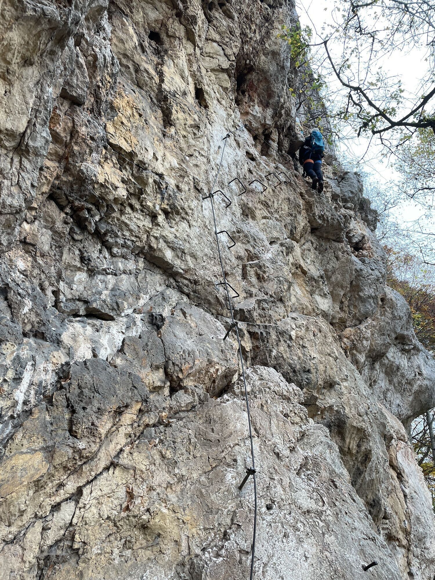
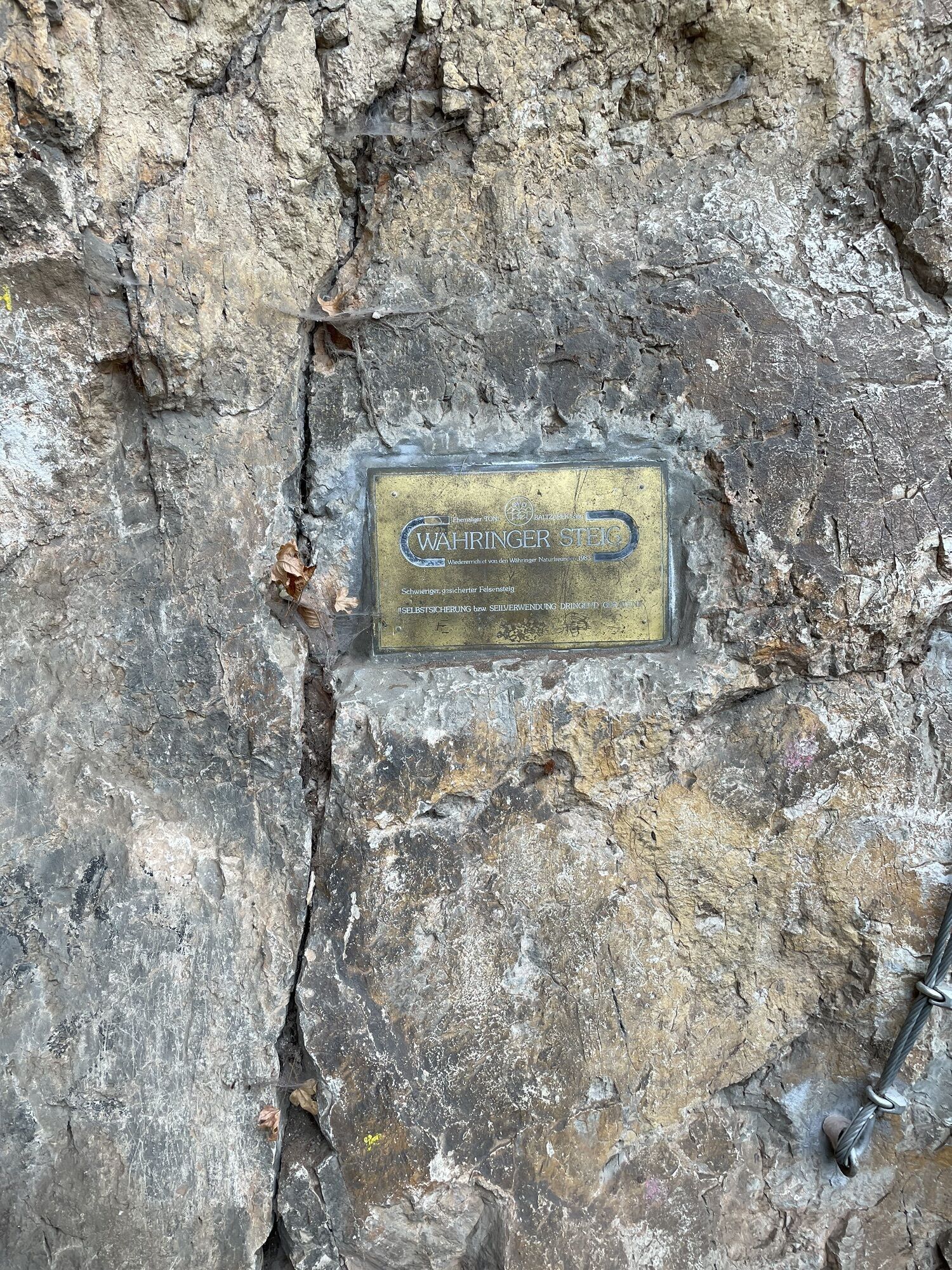
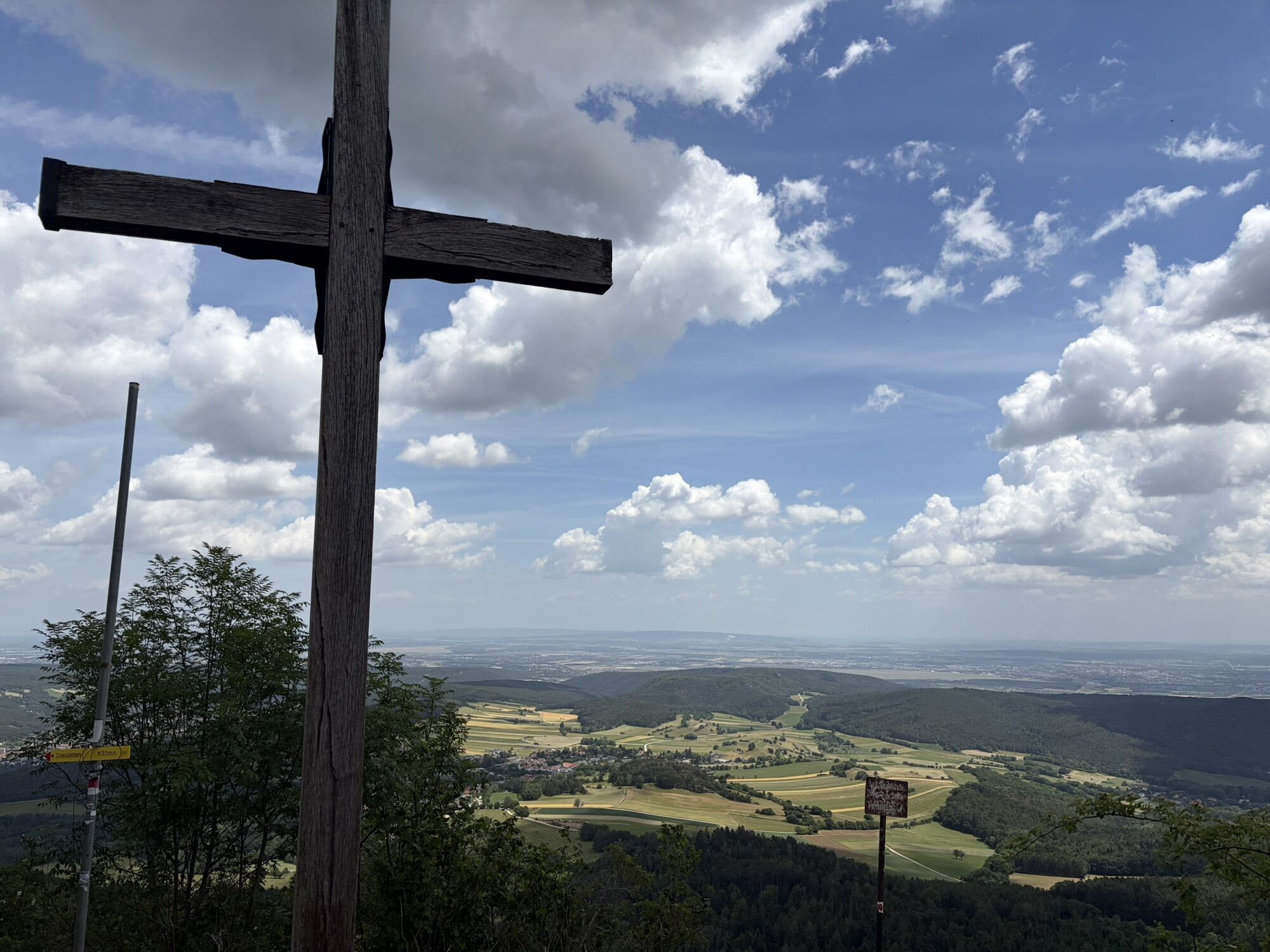
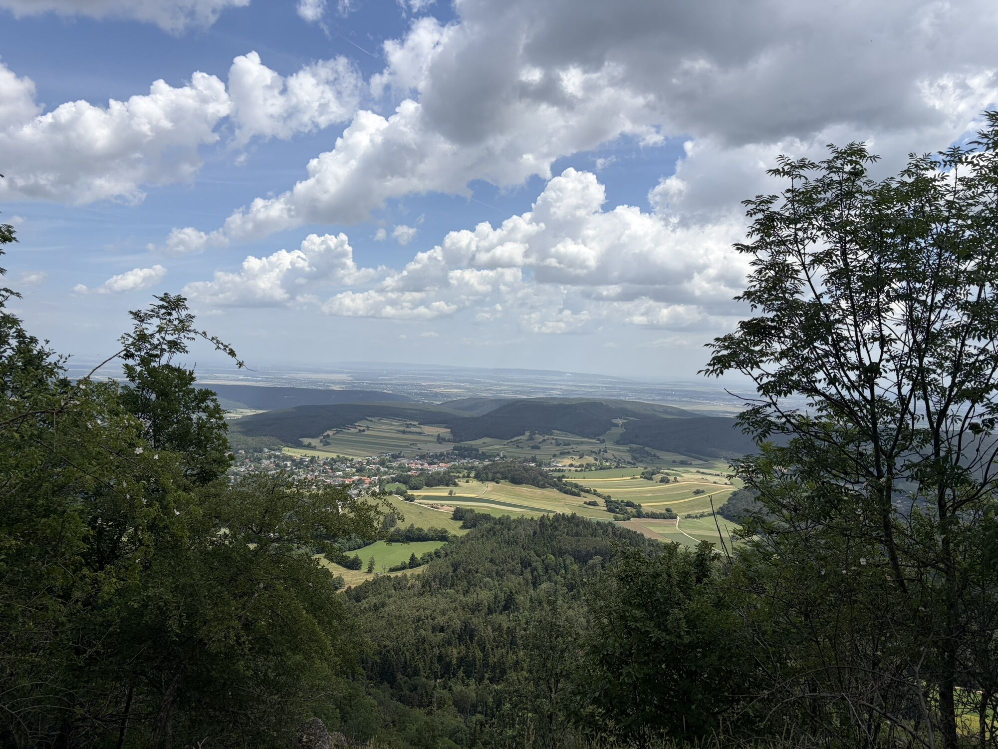
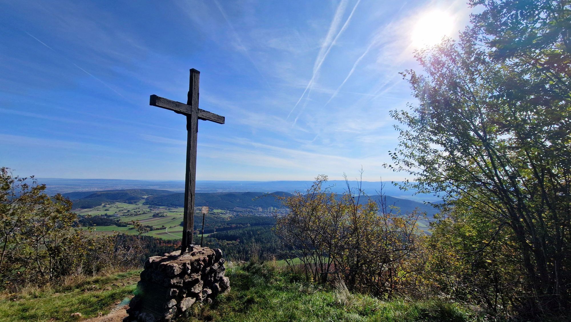
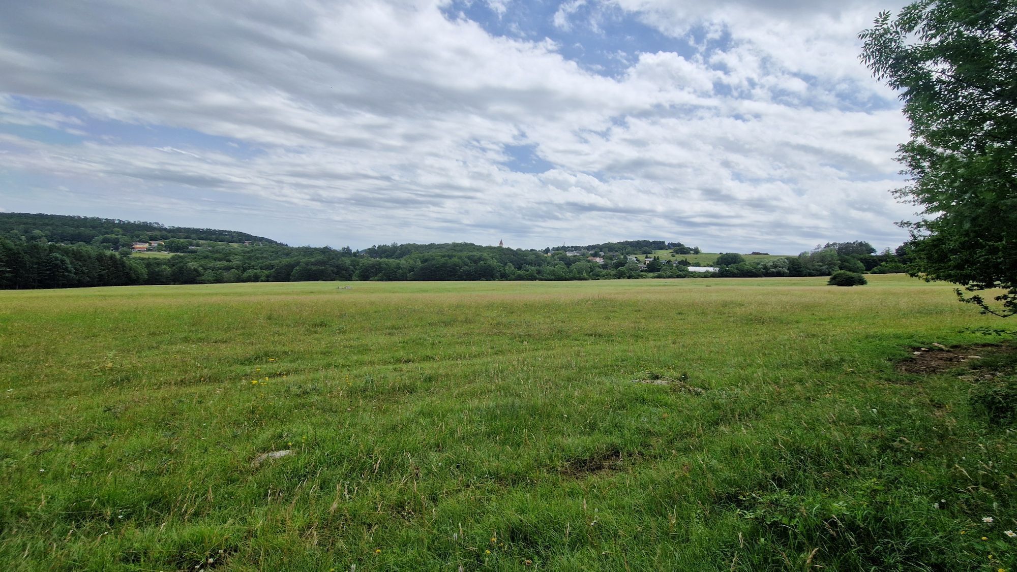
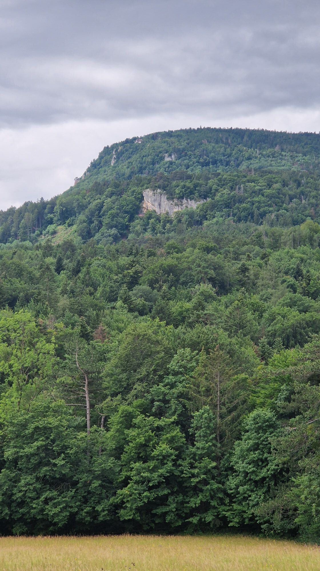
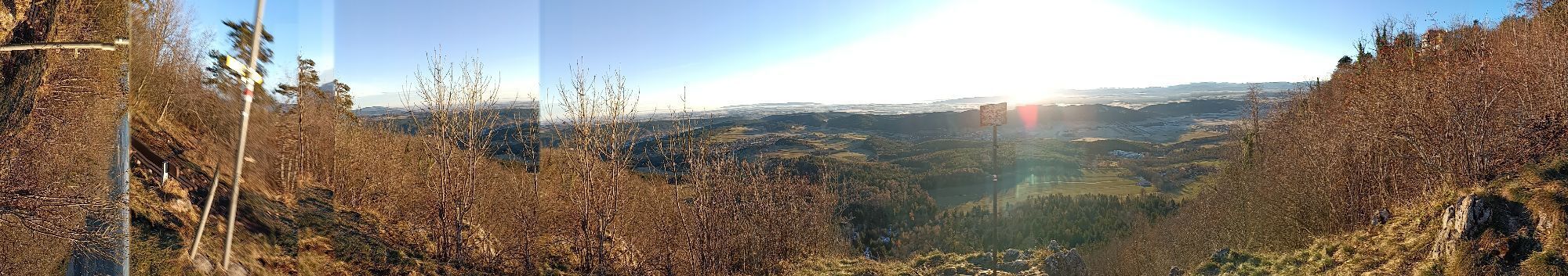
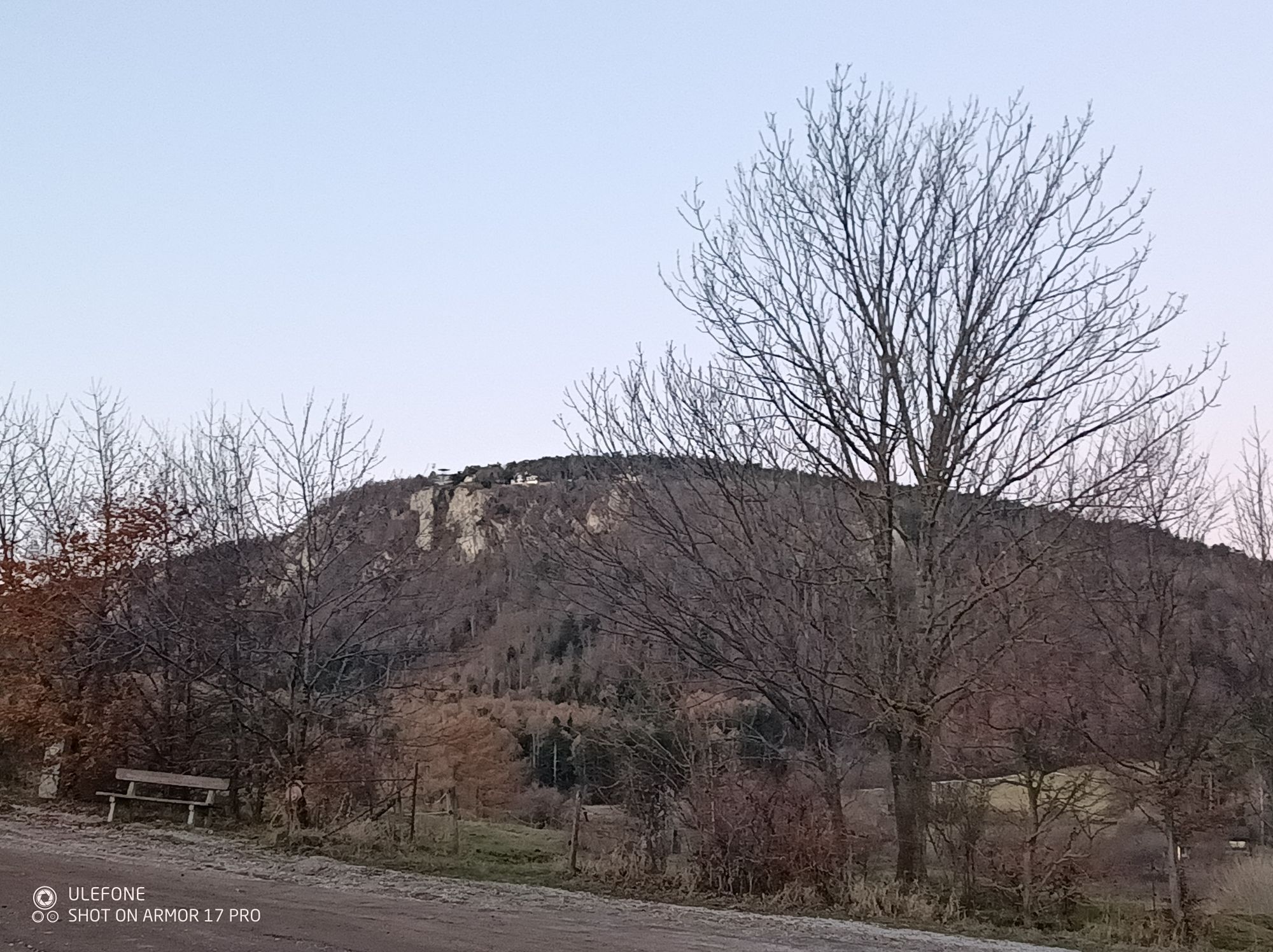
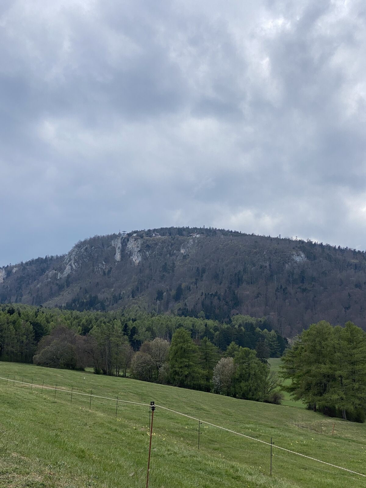
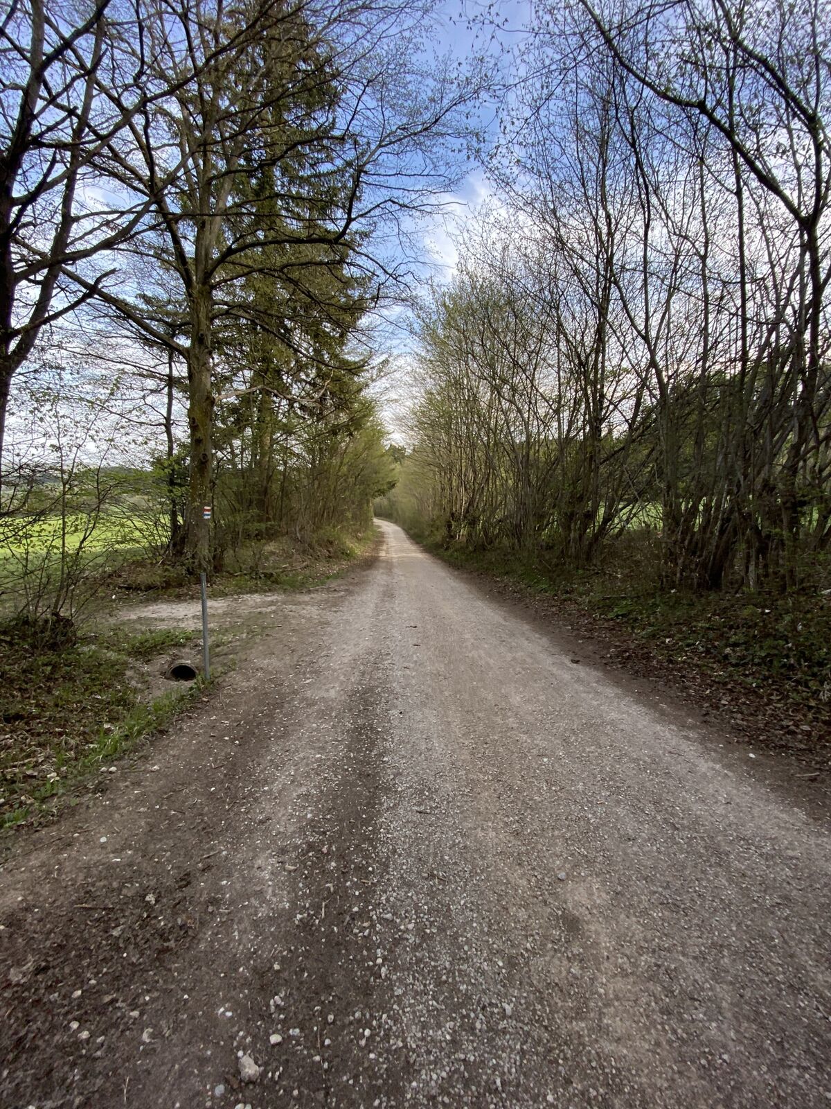
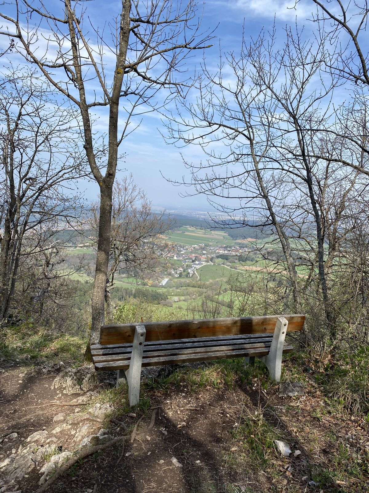
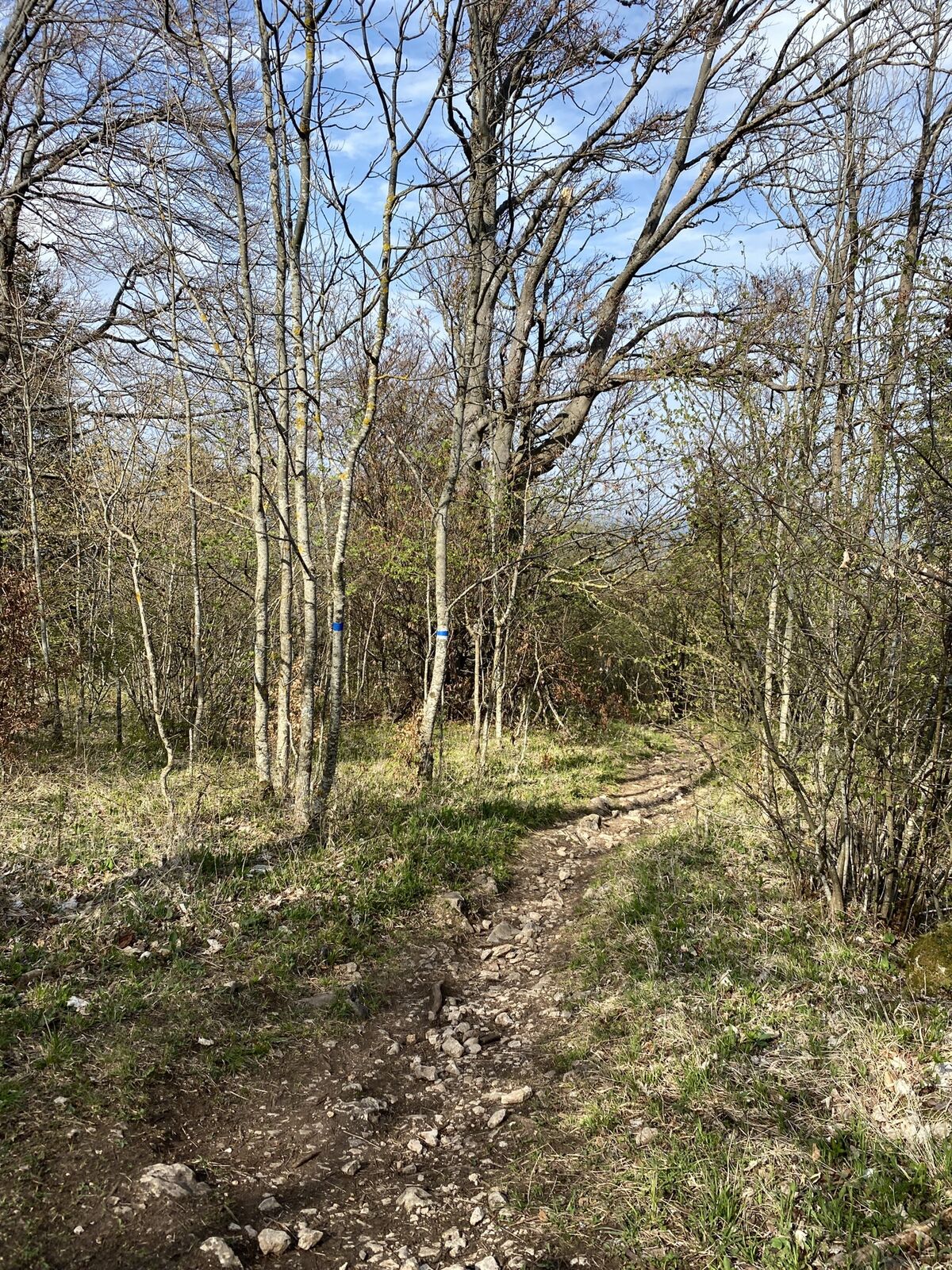
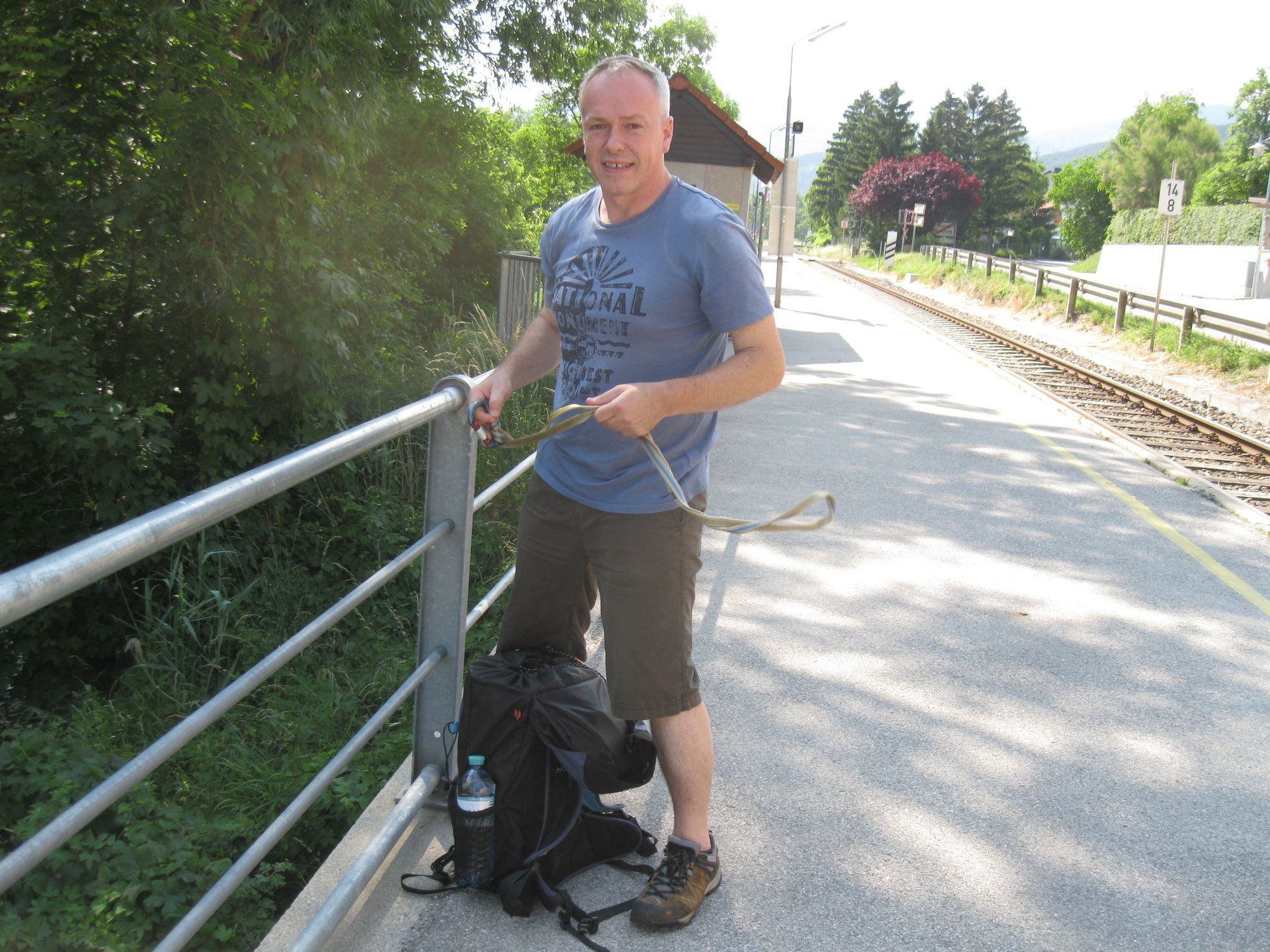
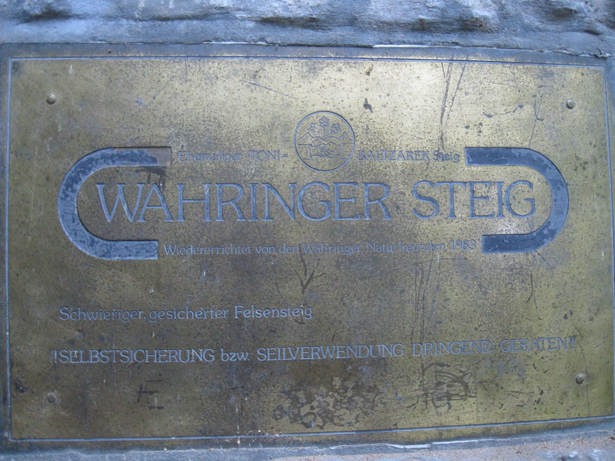
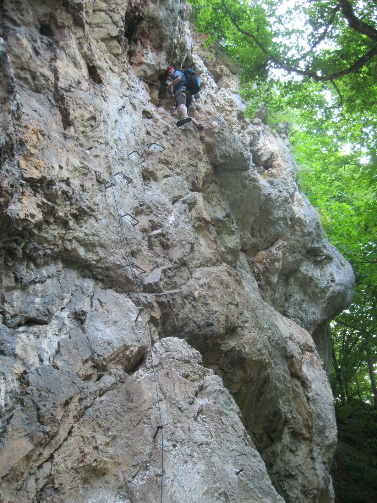
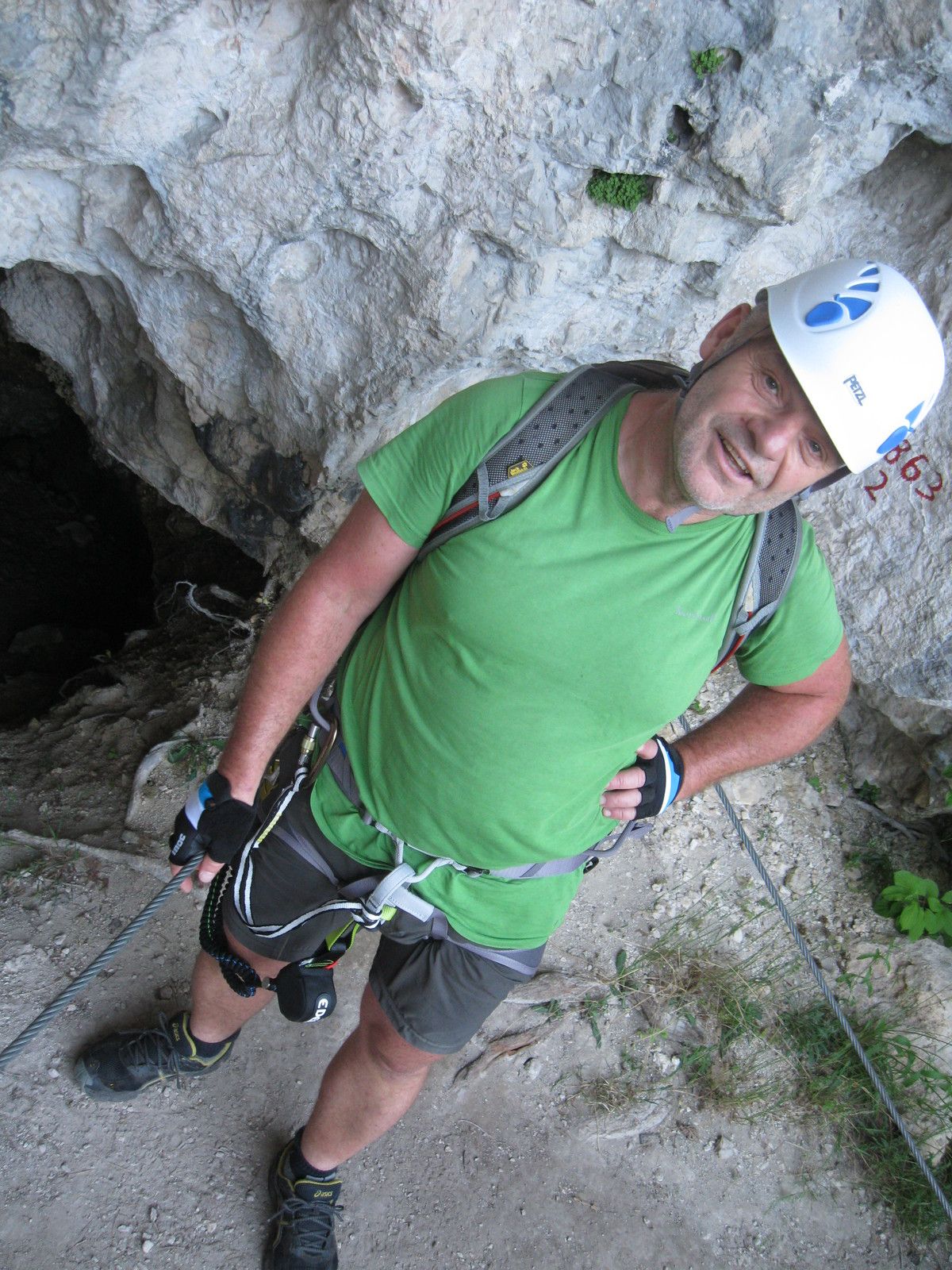
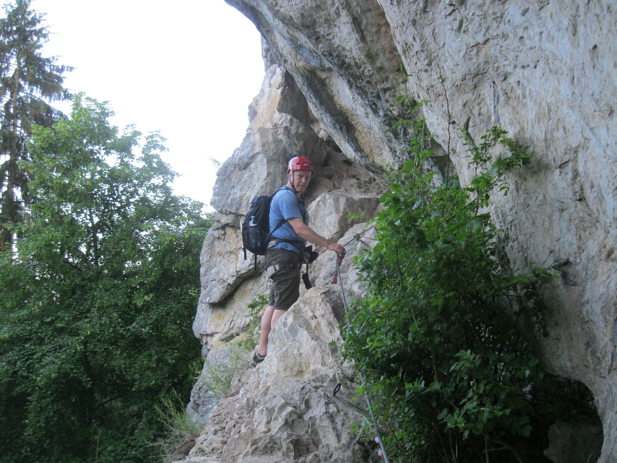
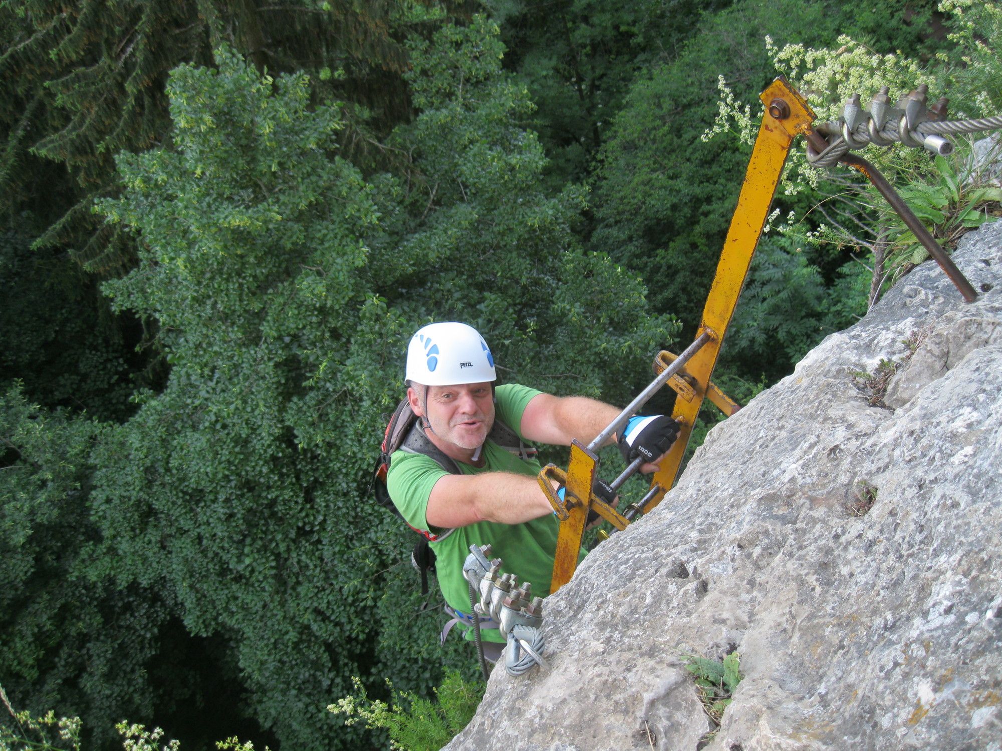
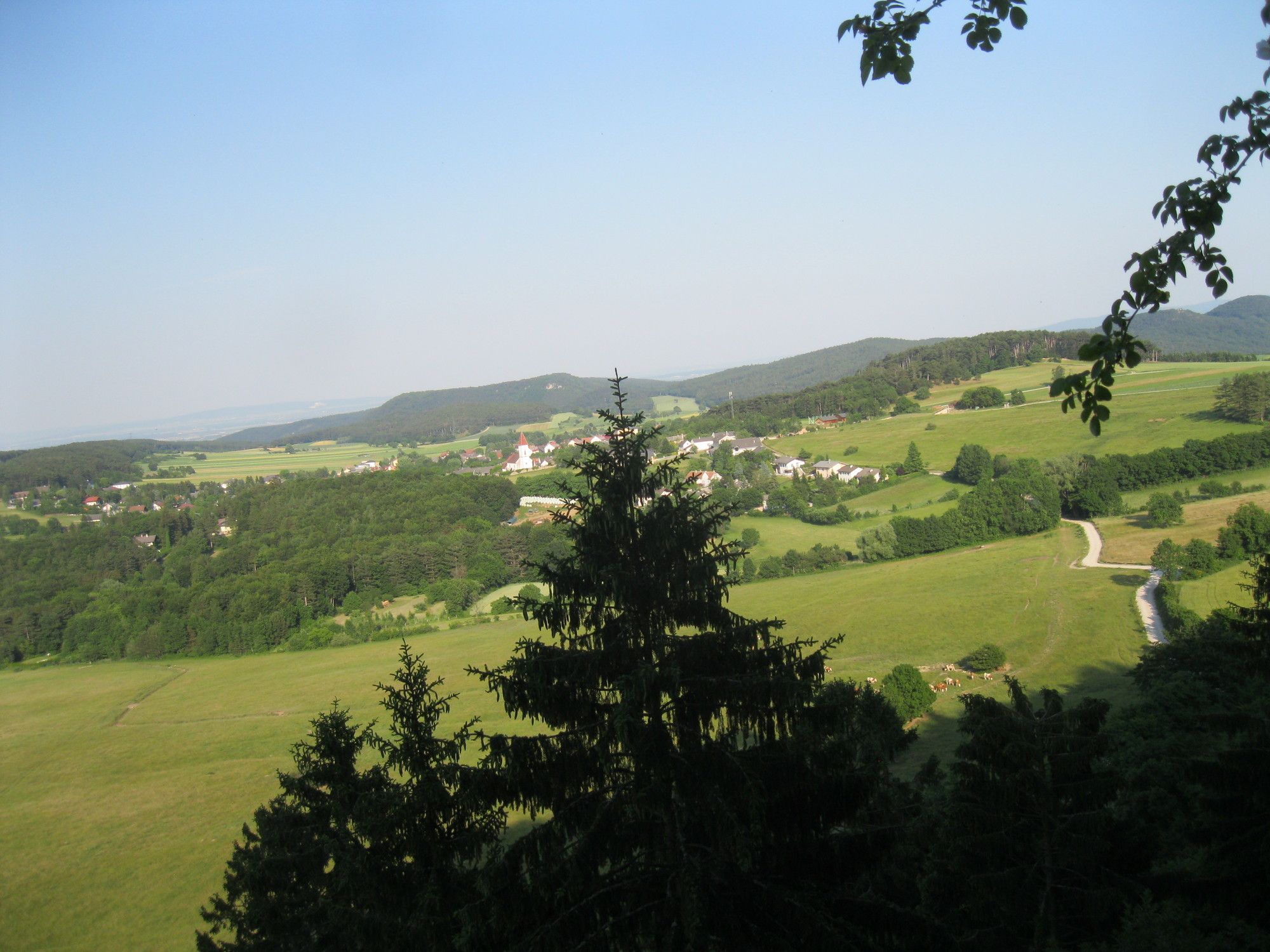
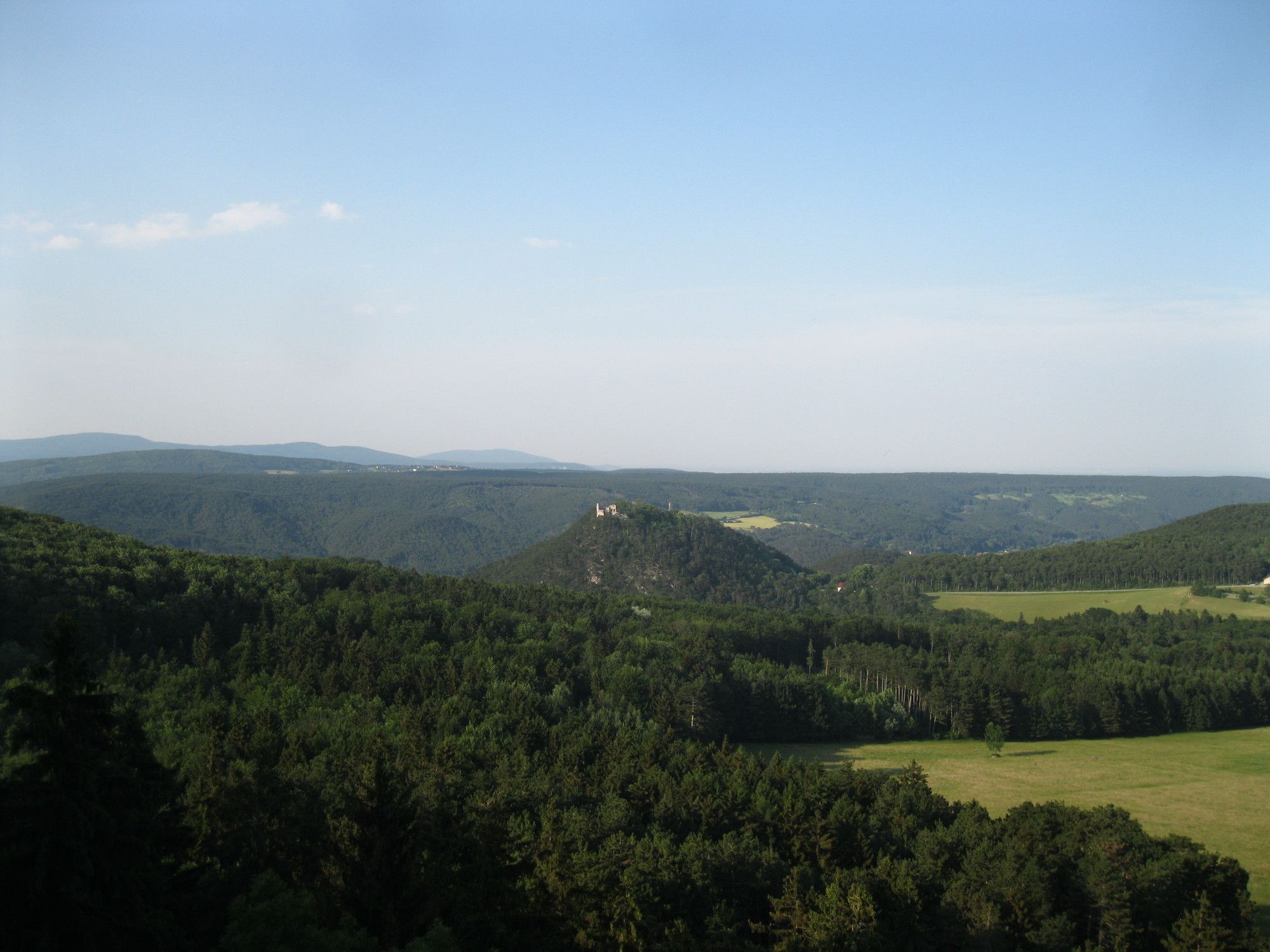
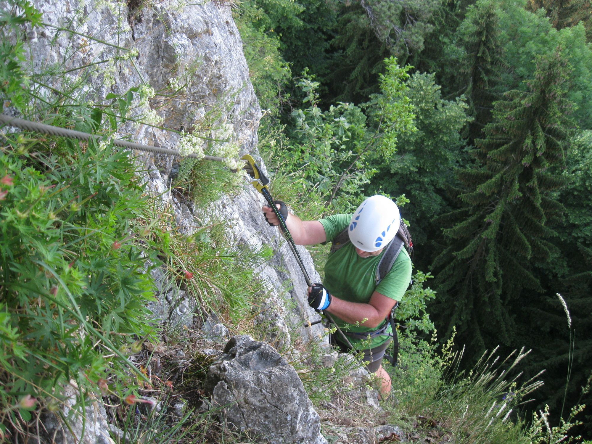
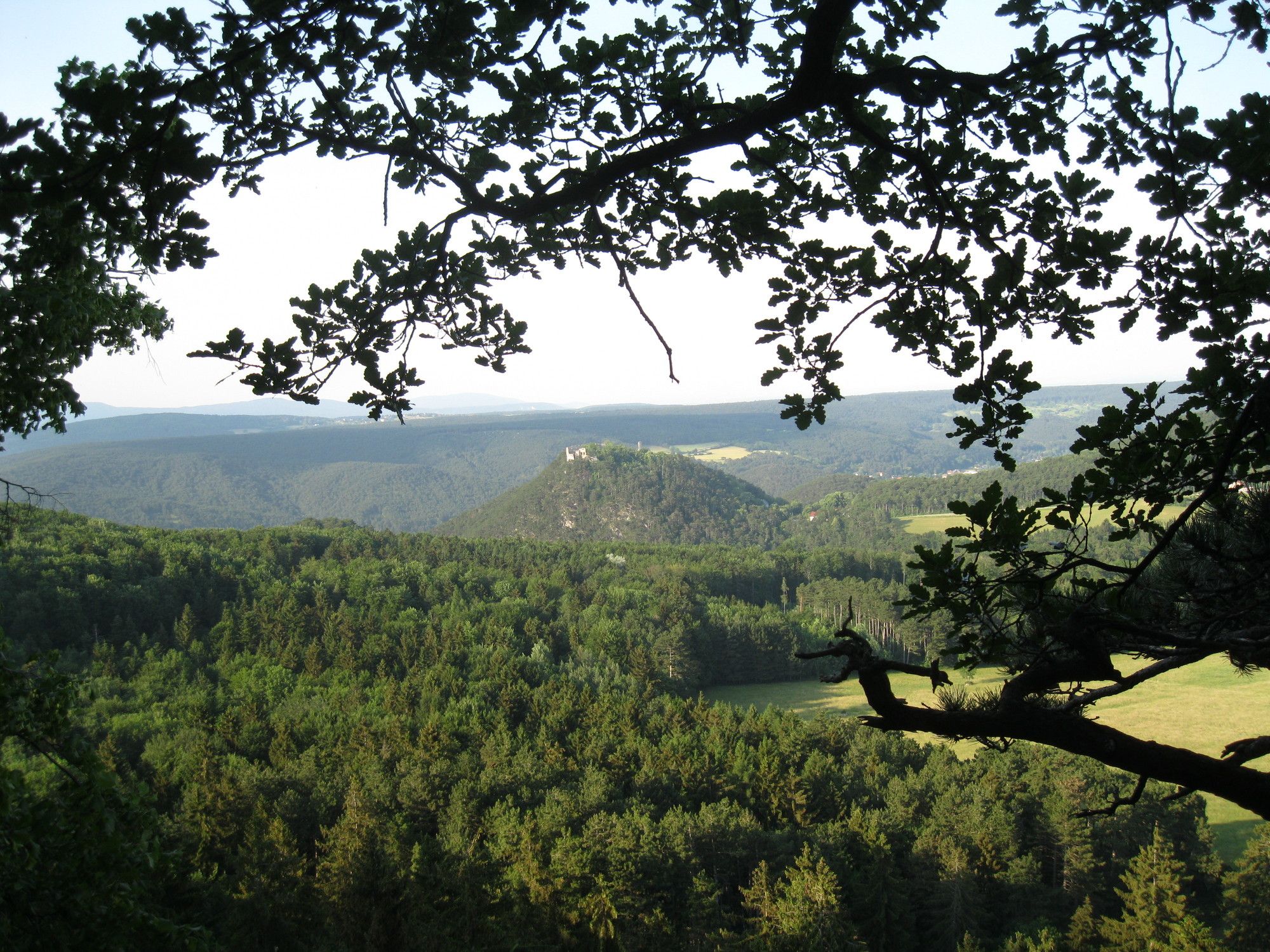
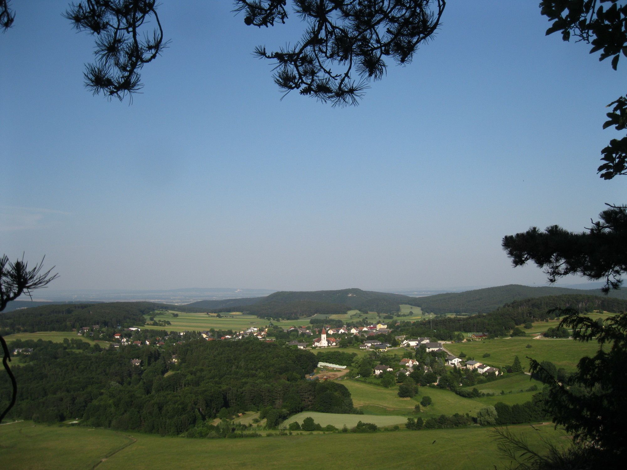
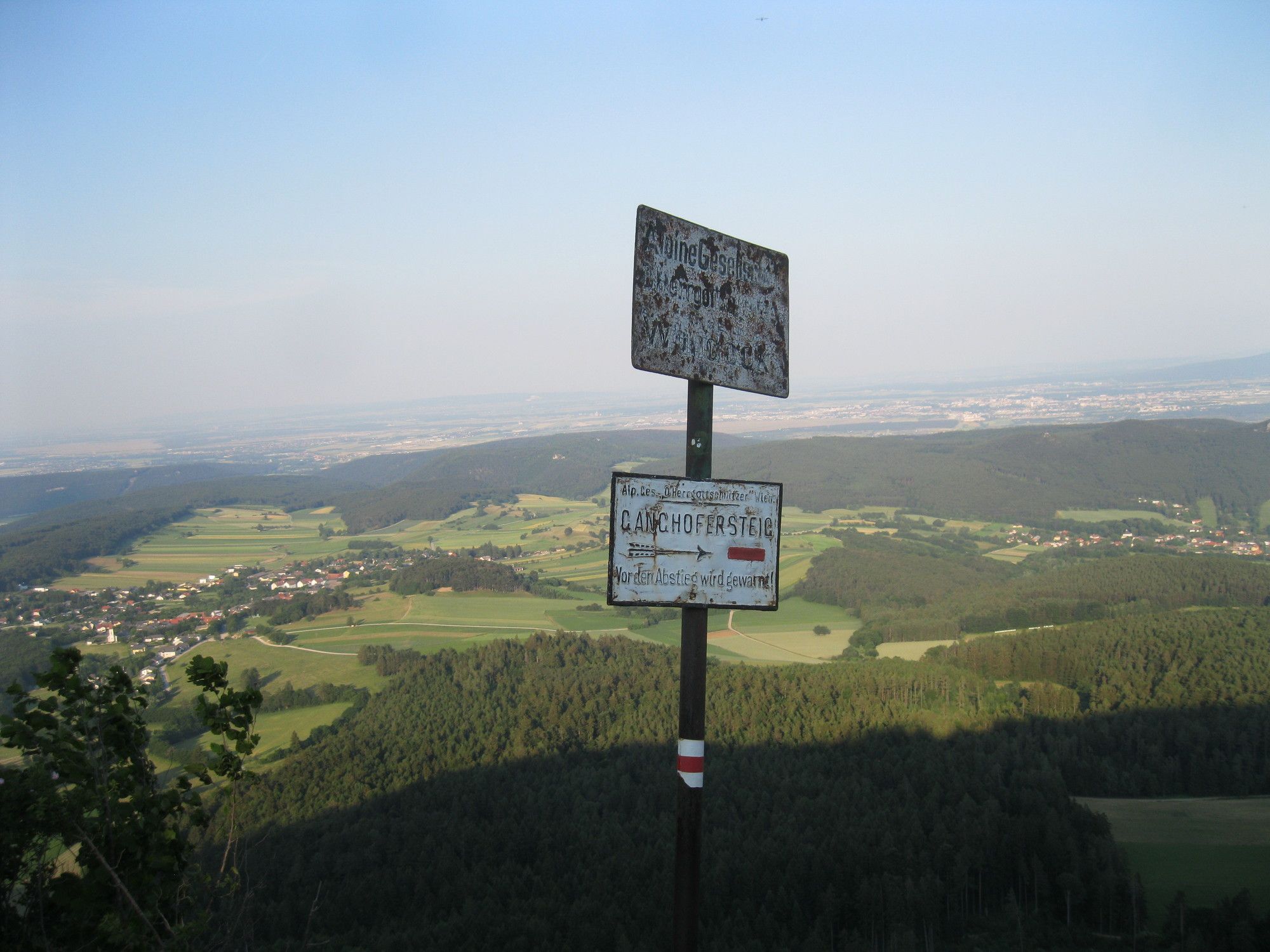
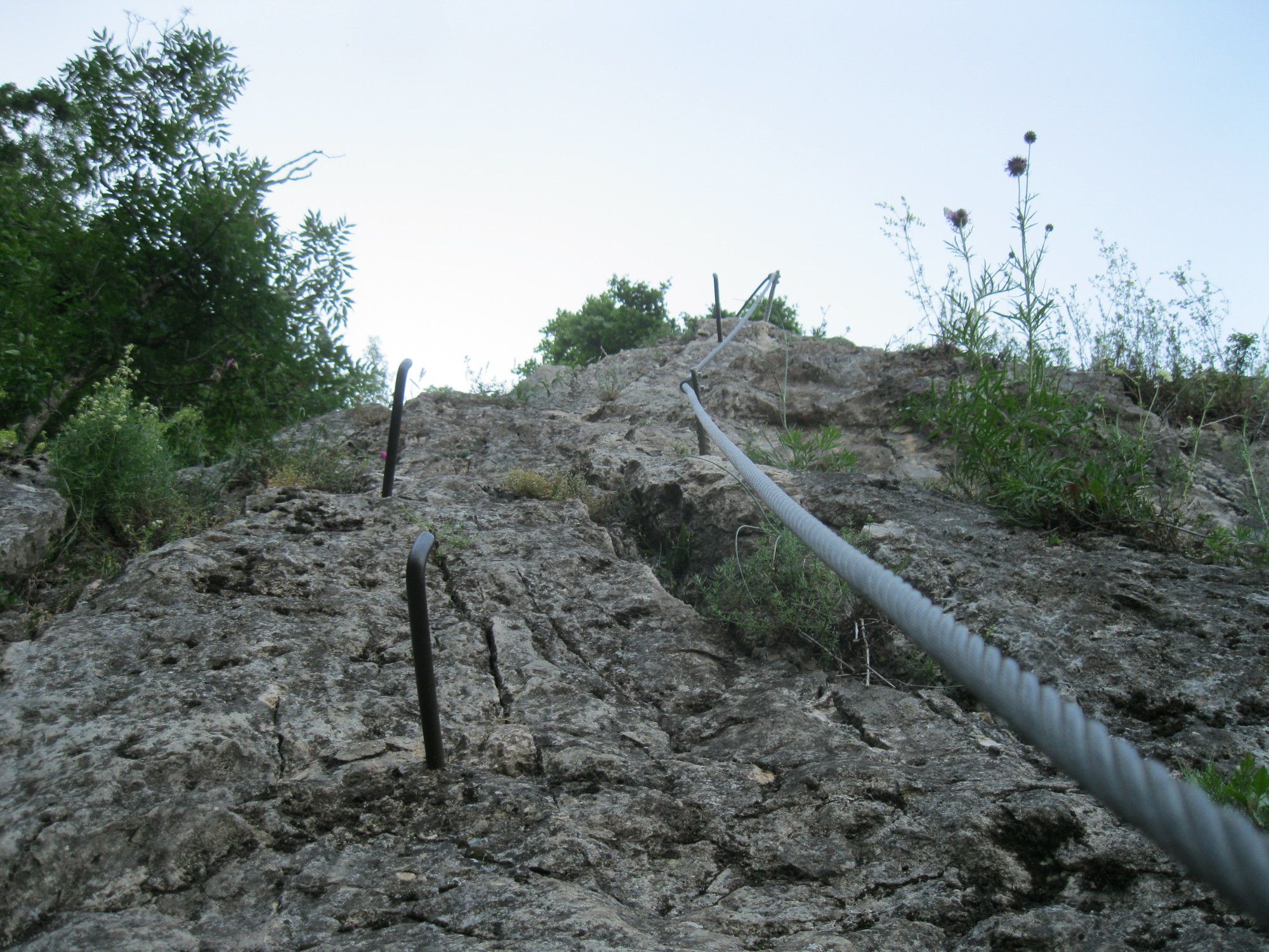
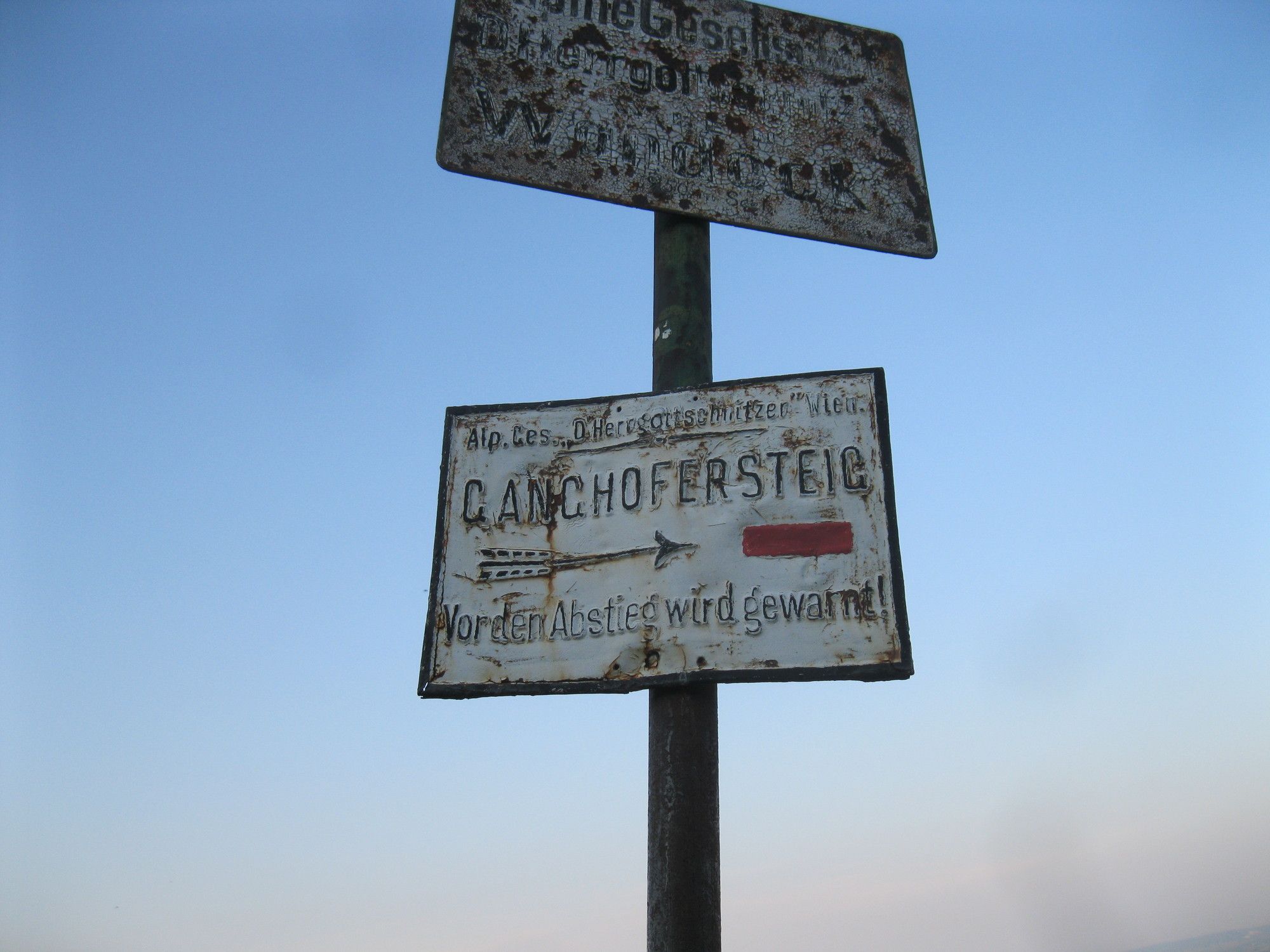
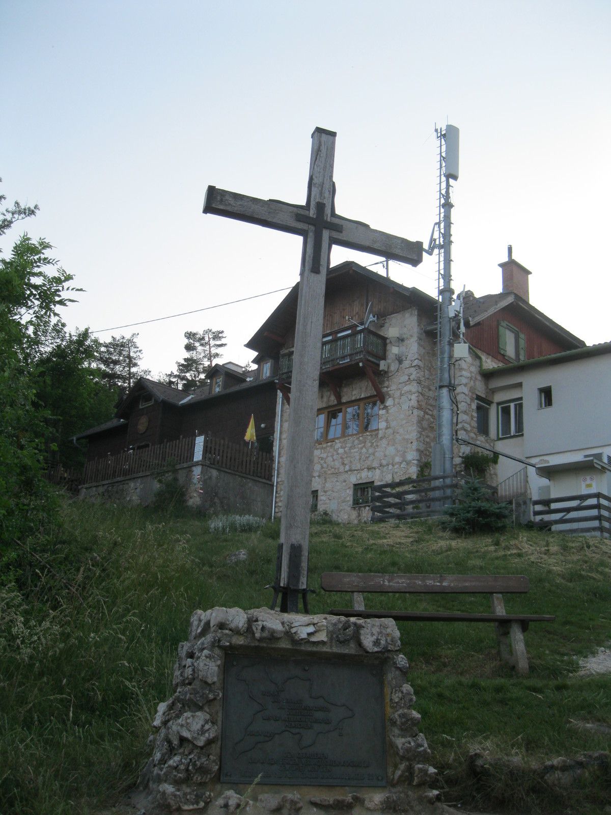
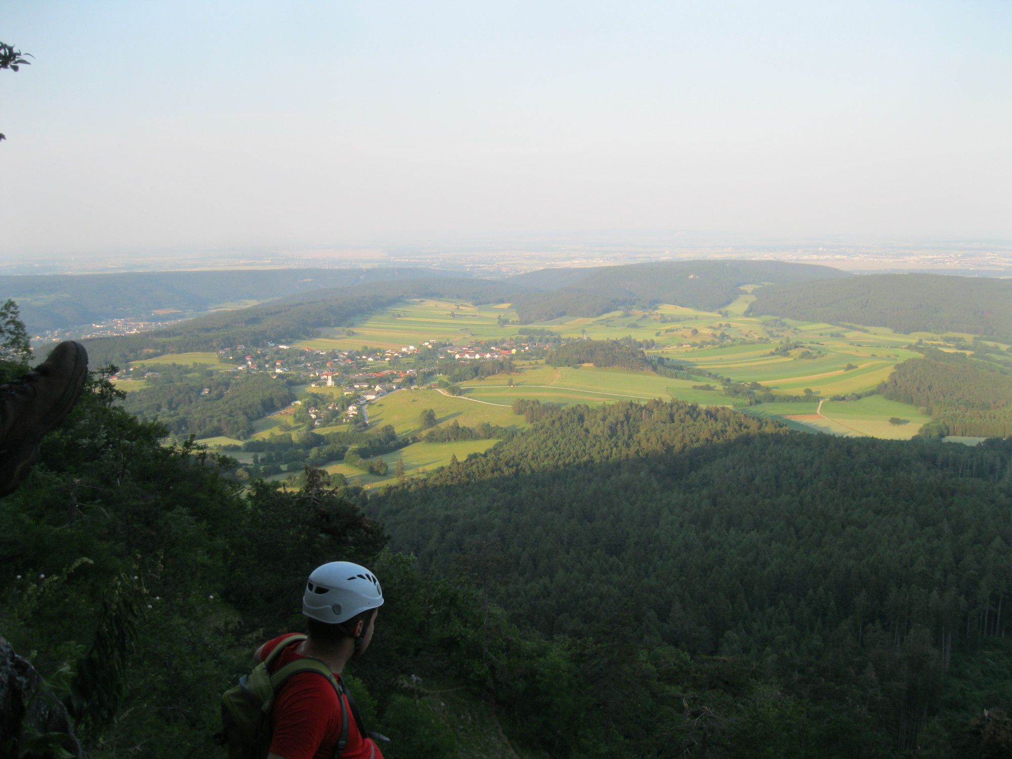
Hohe Wand: Währinger- und Ganghofer Klettersteig
średni
Pobierz tę trasę na swój telefon komórkowy
Hohe Wand: Währinger- und Ganghofer Klettersteig
średni
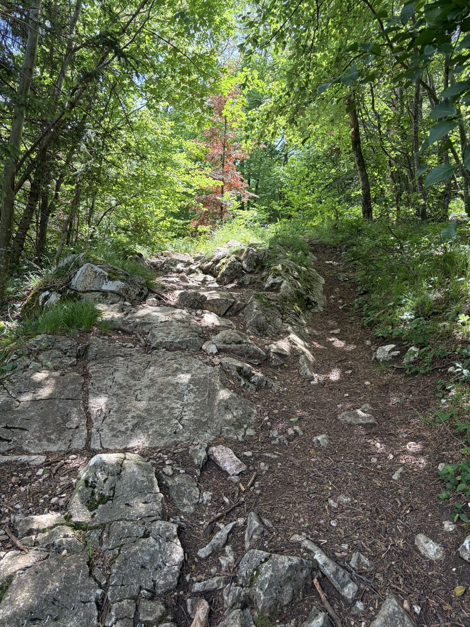
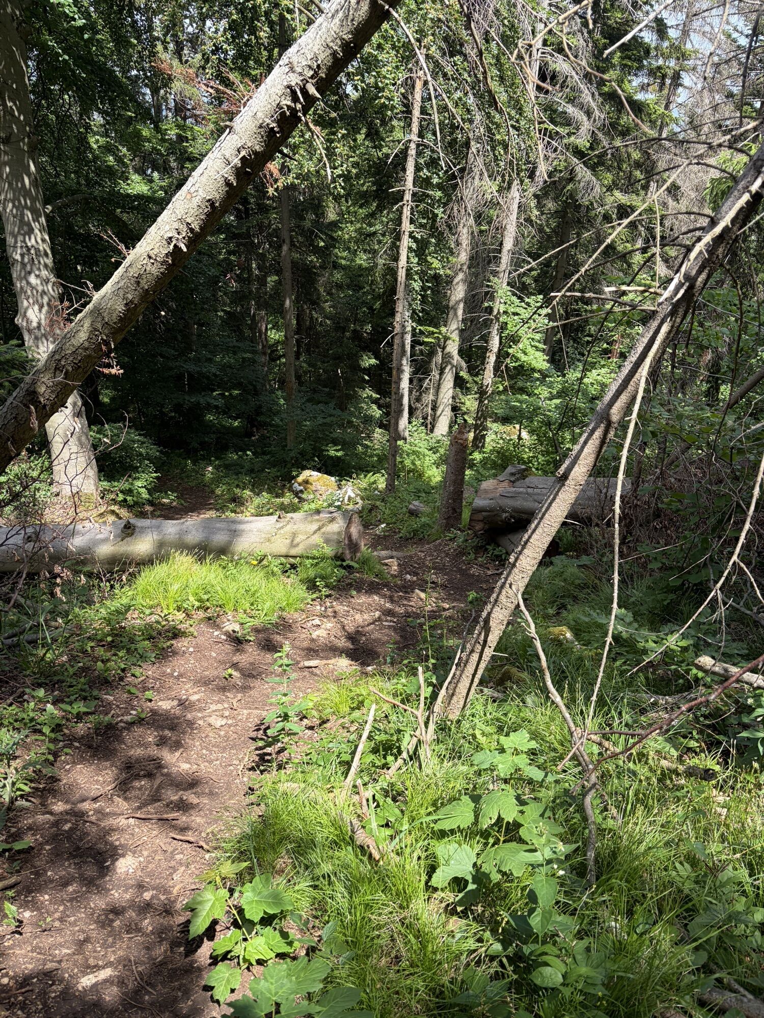
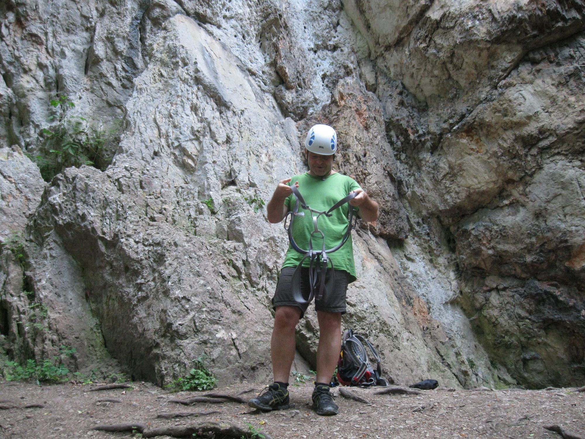
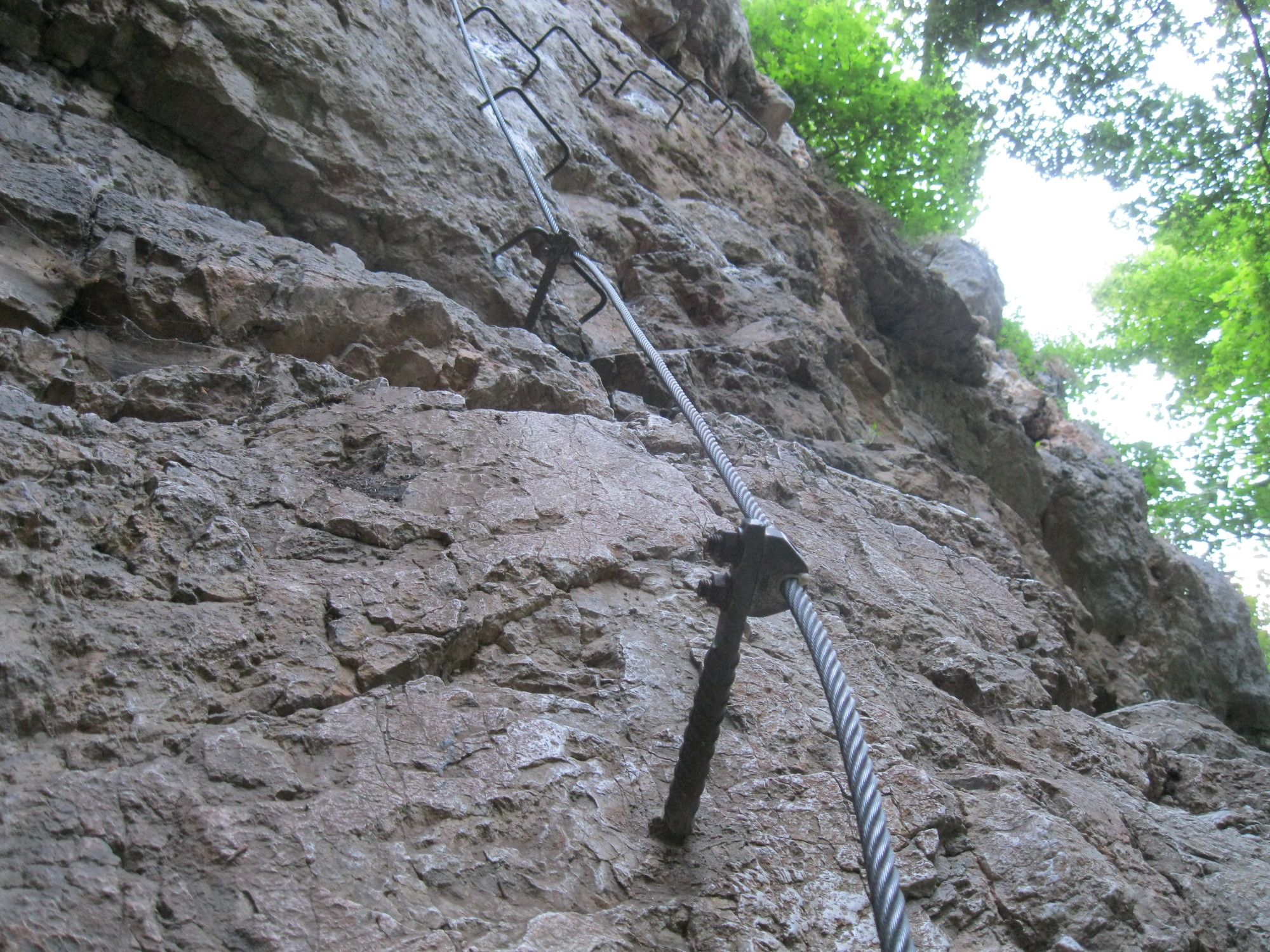
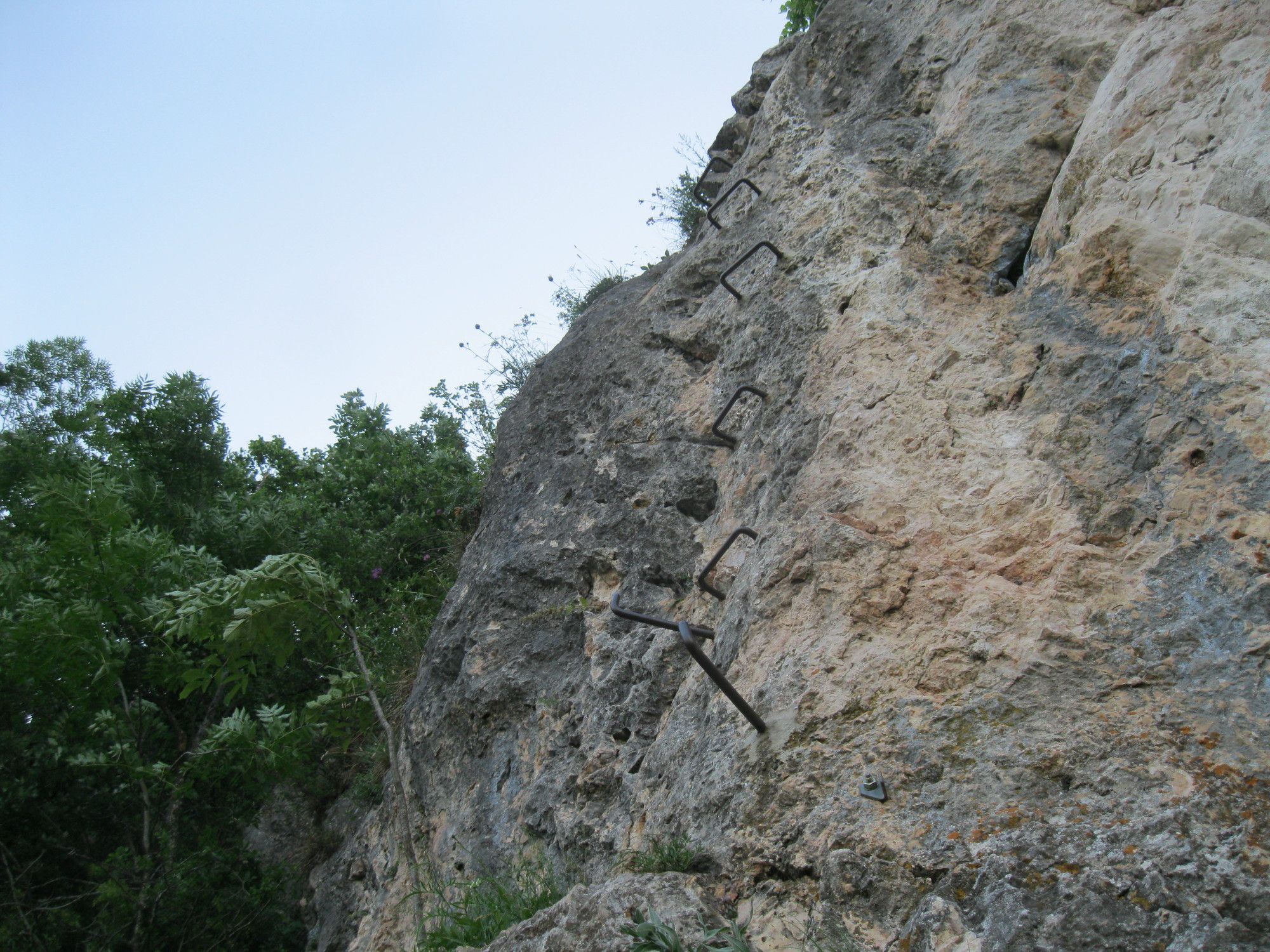
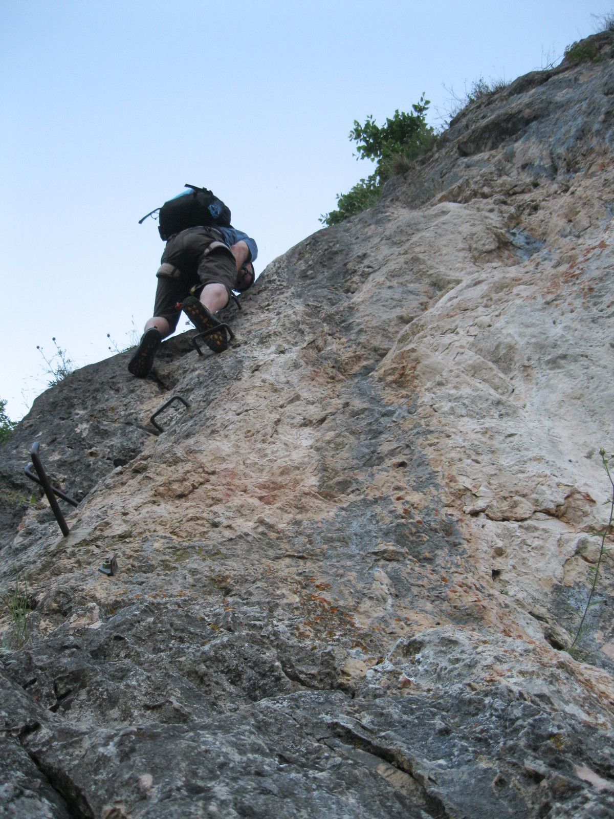
Via ferrata
6,82
km
Zeskanuj kod QR i rozpocznij nawigację w aplikacji bergfex.

Wędrówki i tropienie


Hohe Wand: Währinger- und Ganghofer Klettersteig
średni
Odległość
6,82
km
Czas trwania
04:00
h
Ascent
504
hm
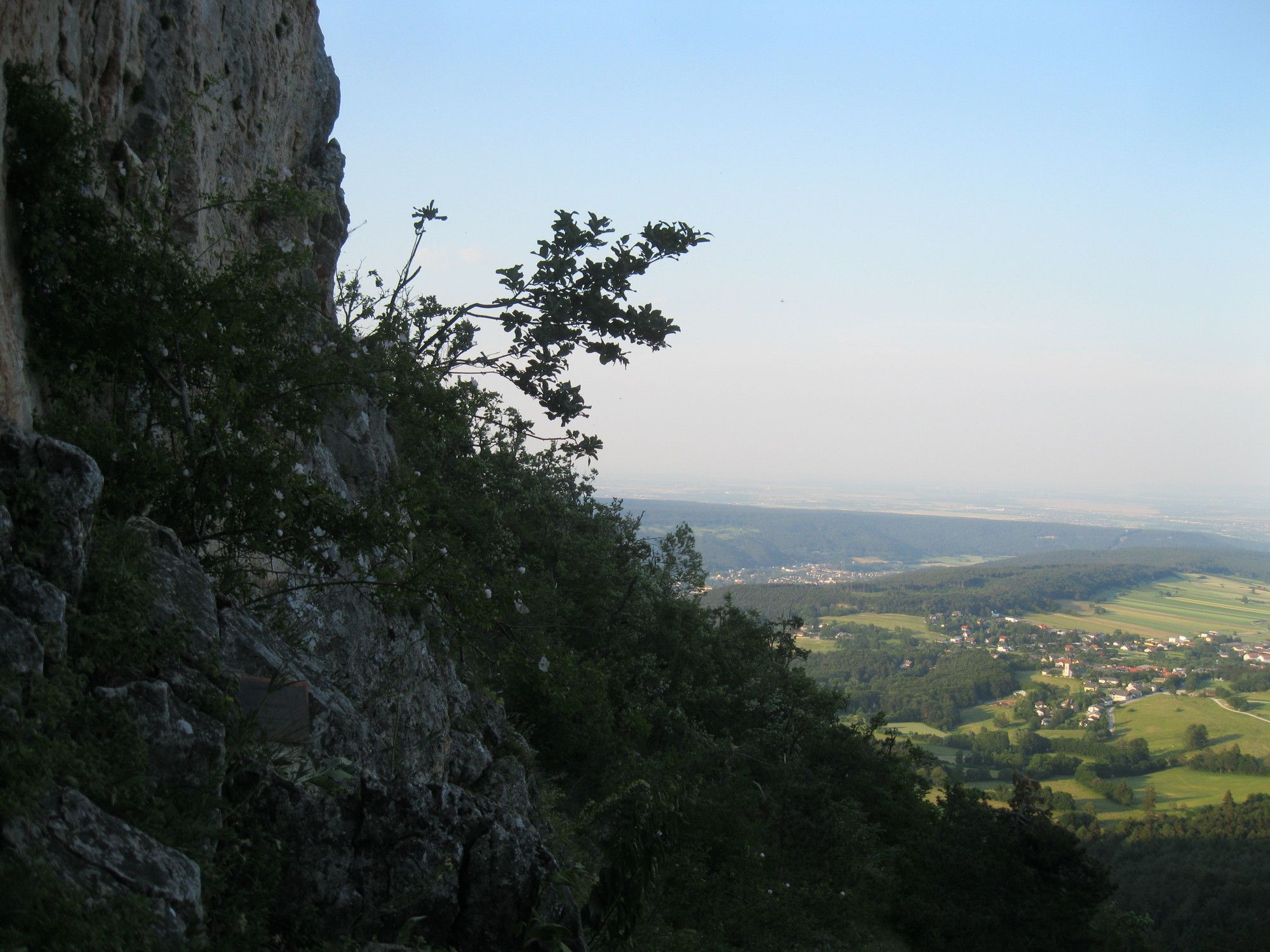
Poziom morza
346 -
800
m
Poziom trudności: C/D
Ścieżka do pobrania
Hohe Wand: Währinger- und Ganghofer Klettersteig
średni
Via ferrata
6,82
km


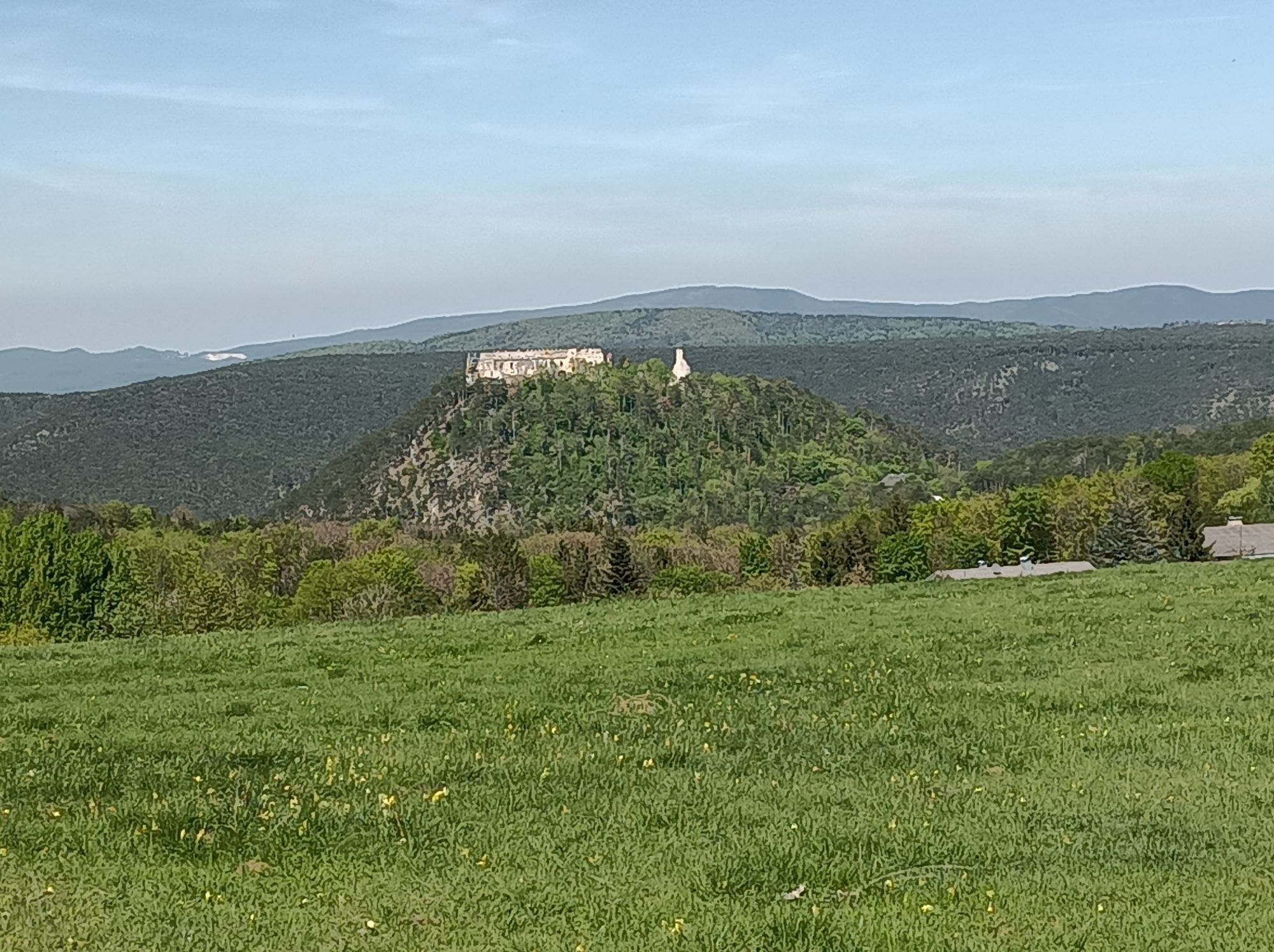
Tag der Tour: 12.06.2015
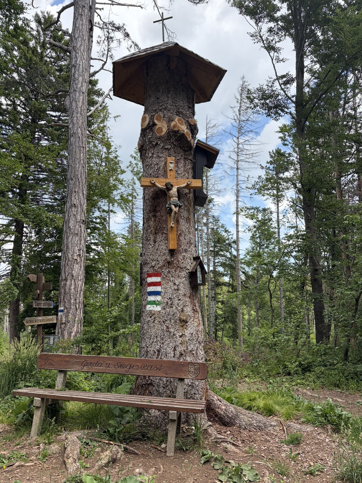
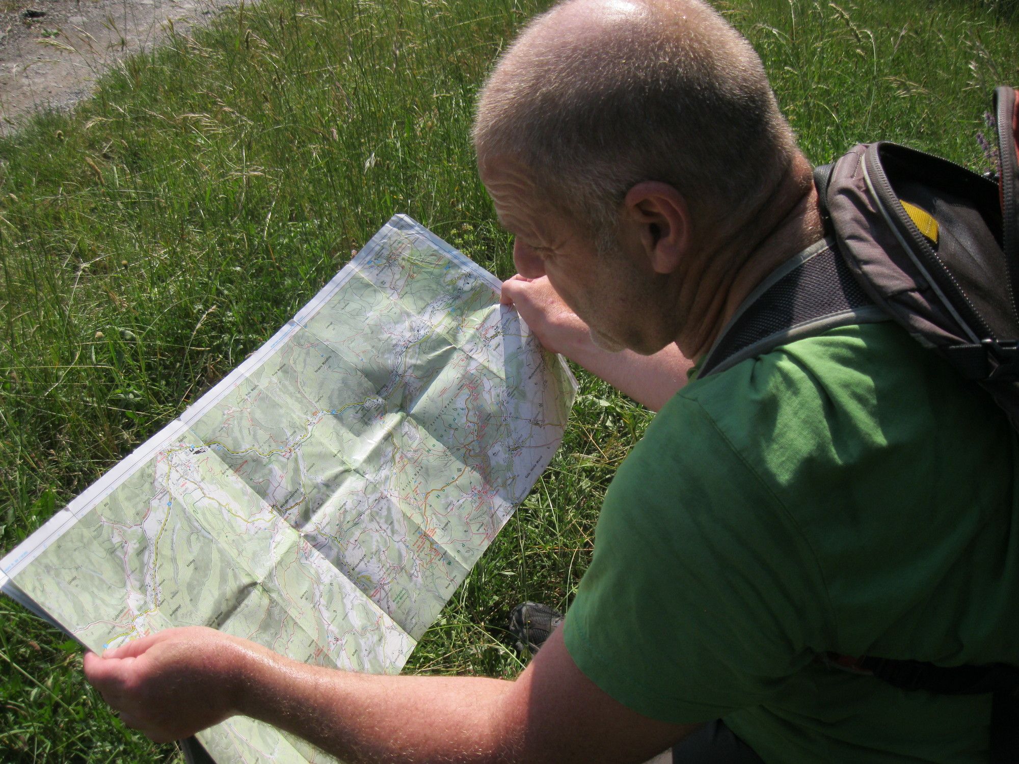
Trasa
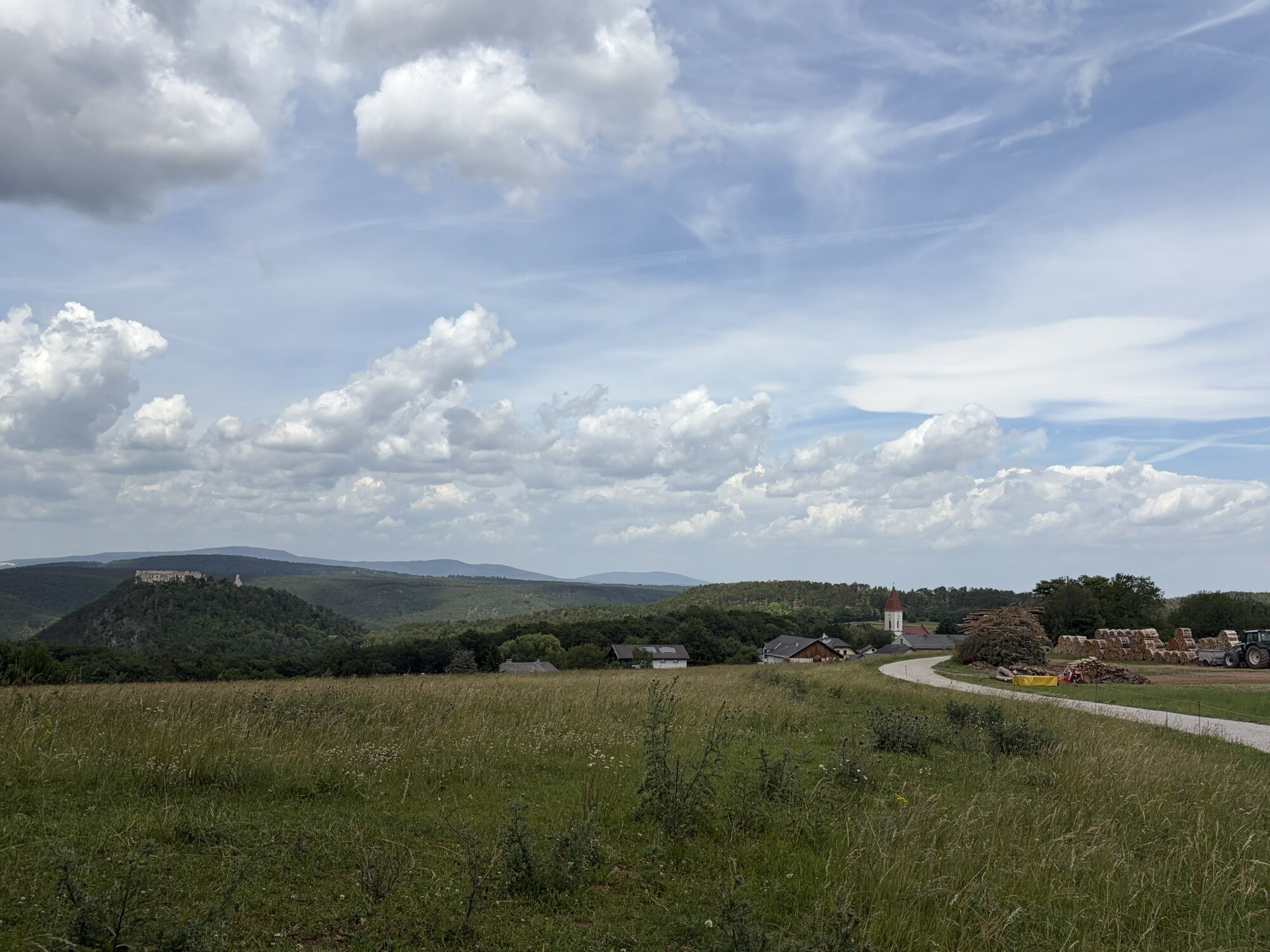
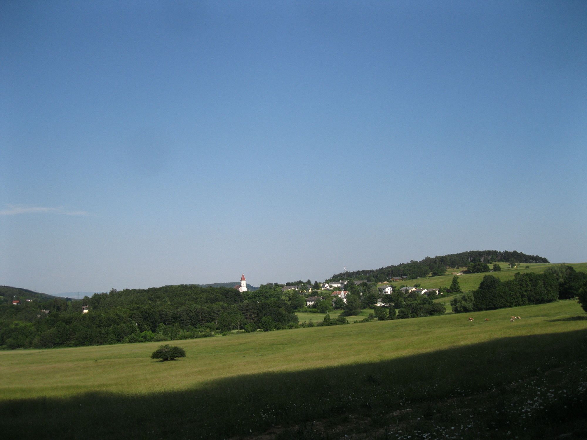
Baumgarten
(427 m)
Rozliczenie
0,9 km
Baumleiterhöhle
(590 m)
Wejście do jaskini
2,9 km
Drobilsteighöhle
(764 m)
Wejście do jaskini
3,8 km
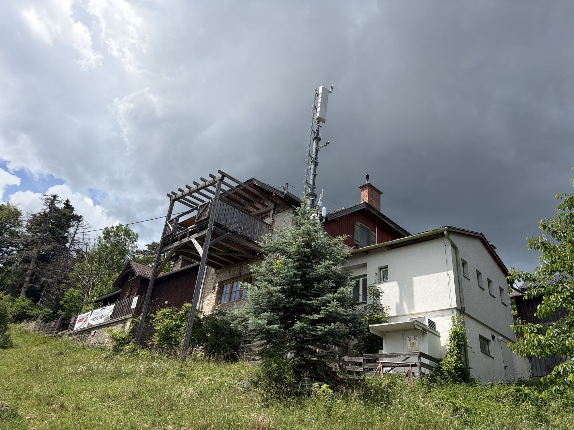
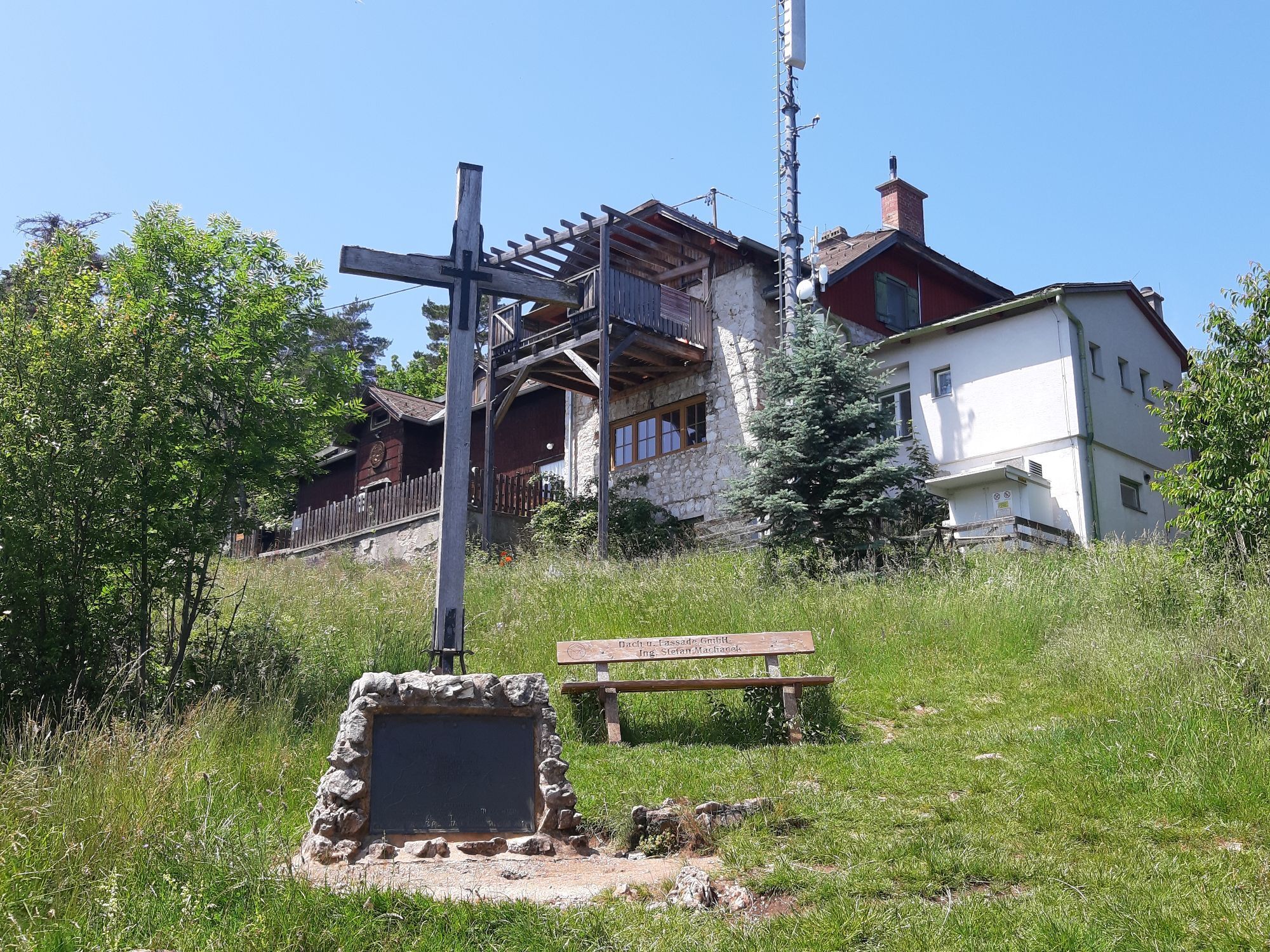
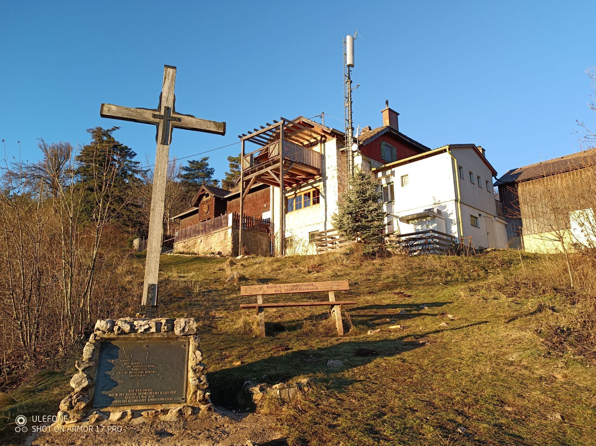
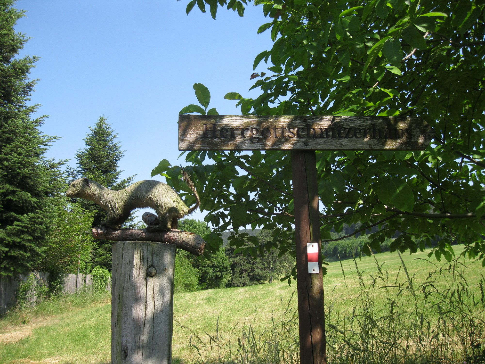
Herrgottschnitzerhaus
(825 m)
Restauracja
4,3 km
Trasa
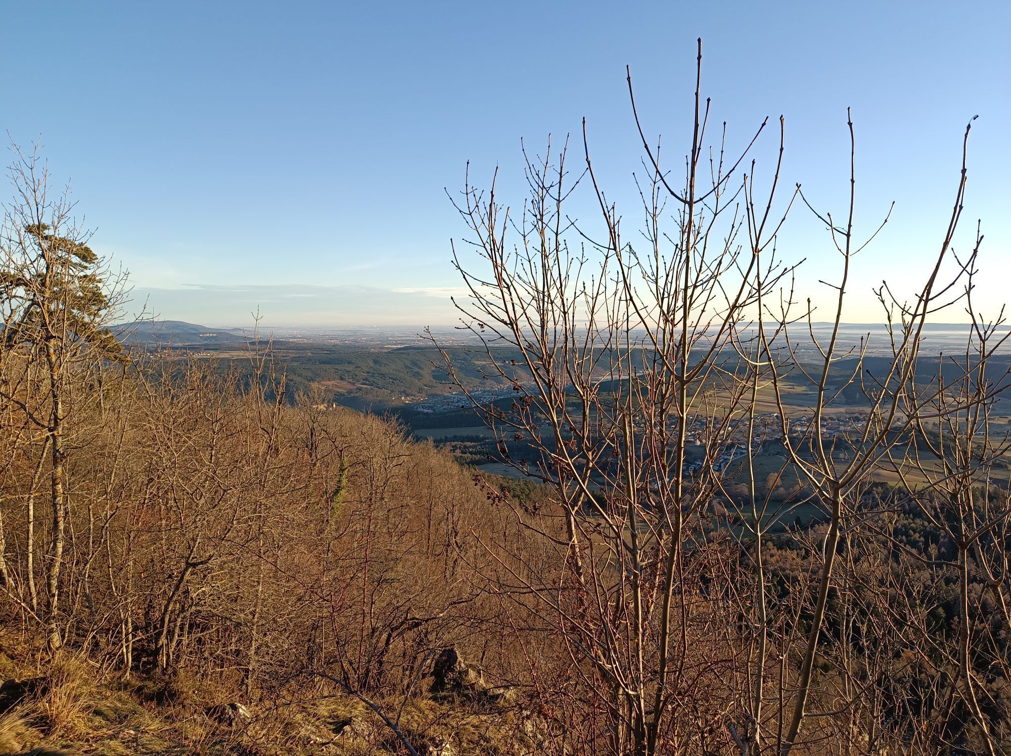
Hohe Wand: Währinger- und Ganghofer Klettersteig
średni
Via ferrata
6,82
km
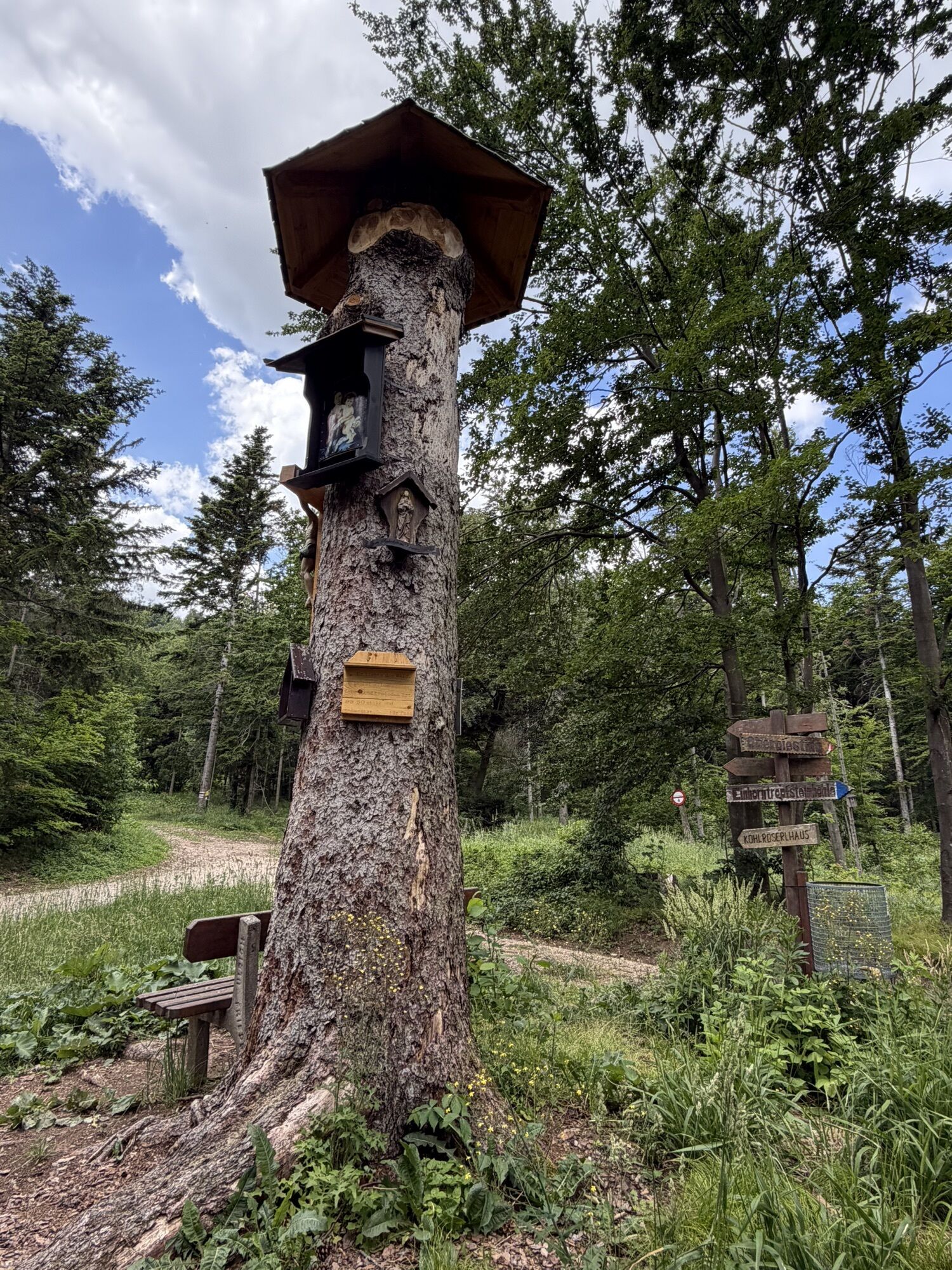
Baumgarten
(427 m)
Rozliczenie
0,9 km
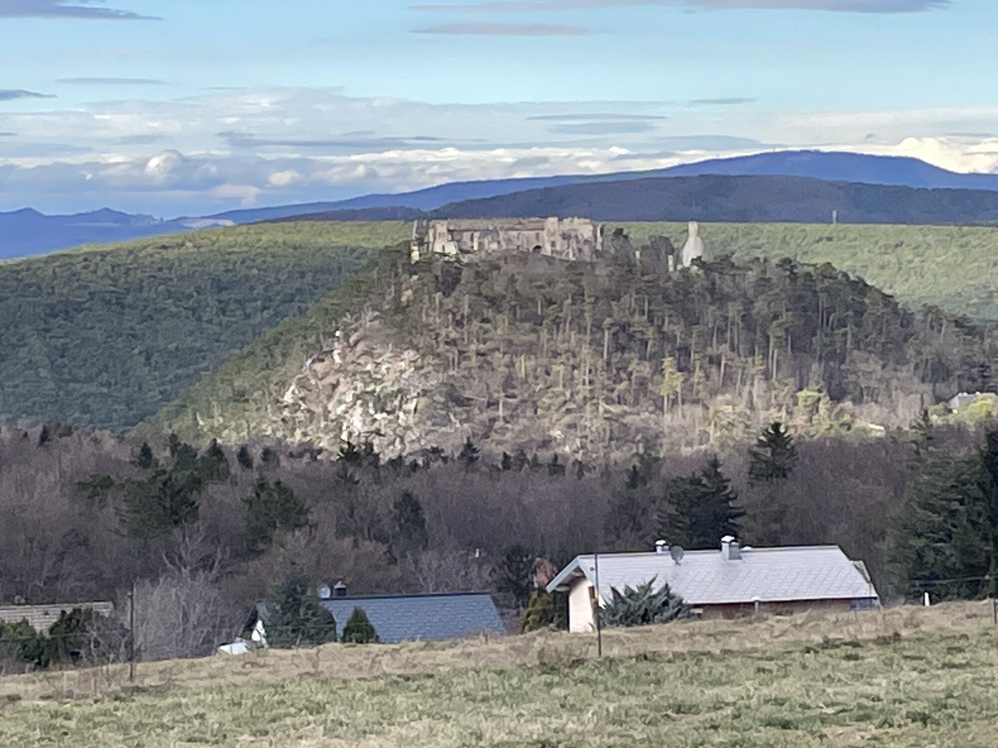
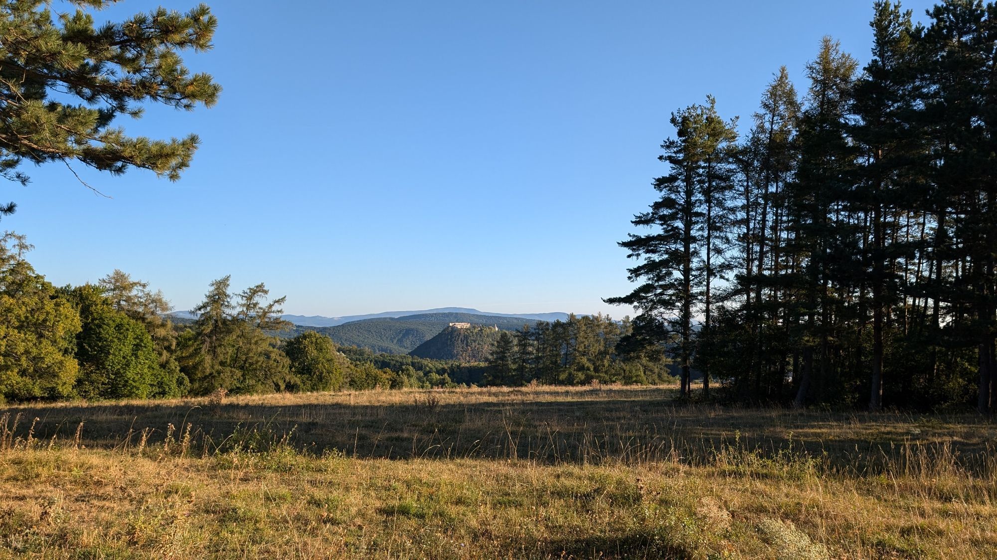
Zitherwirt / Gasthof Ruine Starhemberg
(469 m)
Restauracja
1,4 km
Baumleiterhöhle
(590 m)
Wejście do jaskini
2,9 km
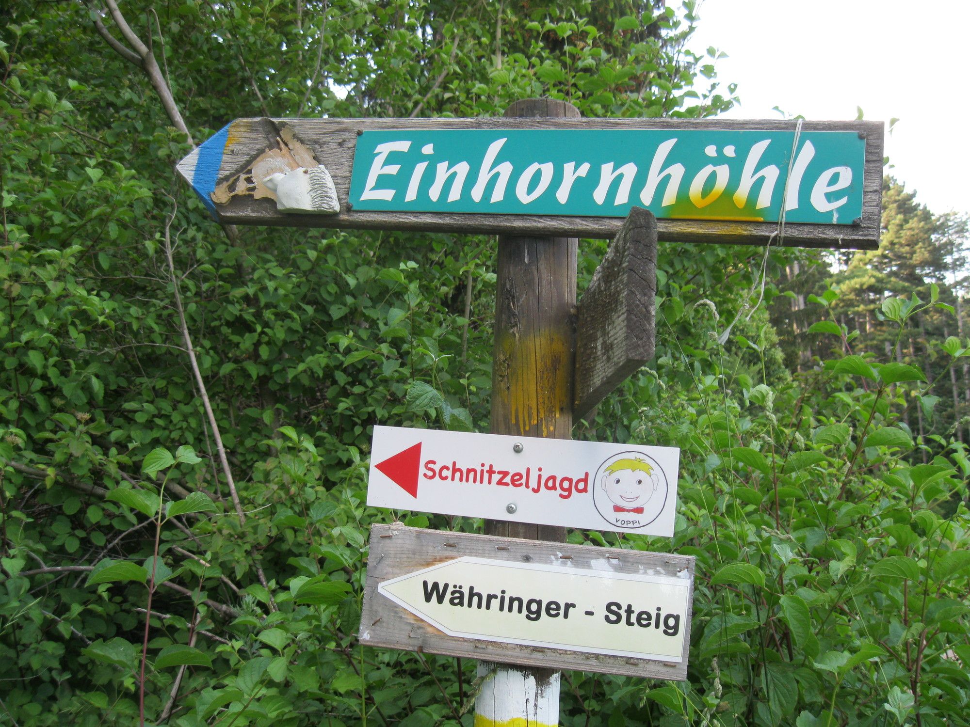
Einhornhöhle
(586 m)
Wejście do jaskini
3,0 km
Drobilsteighöhle
(764 m)
Wejście do jaskini
3,8 km
Luckertes Lückerl
(783 m)
Wejście do jaskini
4,3 km
Herrgottschnitzerhaus
(825 m)
Restauracja
4,3 km


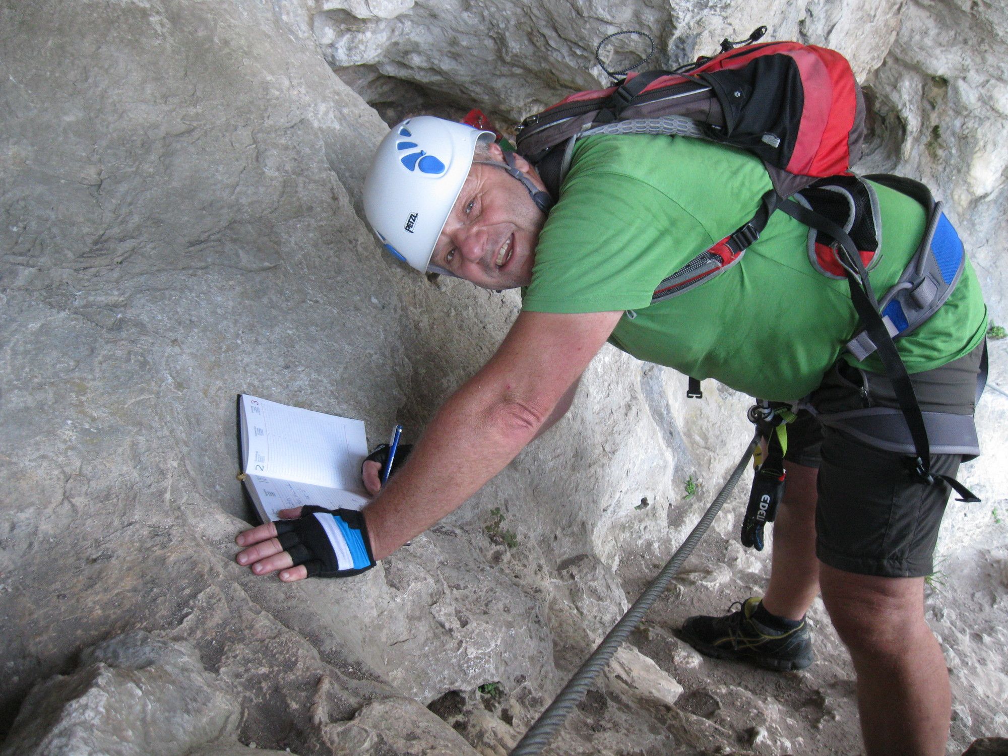


Ostatnio śledzony
2 tygodnie temu
Dodatkowe informacje i wskazówki
Poziom trudności
C/D
Jakość skały
3/6
Wyceny
Popularne wycieczki w okolicy
- 4,8
Flatzer Wand Wanderung
światłoWędrówka 5,62 km - 4,8
ÖTK Klettersteig (vormals HTL Klettersteig) und Blutspur (D/E)
ciężkiVia ferrata 1,41 km - 4,8
Hohe Wand: Babygrat (1+), Rundwanderung und Wagnersteig (A)
ciężkiWędrówka 11,8 km - 4,8
Hohe Wand Wagnersteig - Springlessteig
średniWędrówka 5,59 km - 4,7
Hohe Wand: Grafenbergweg - Große Kanzel - Rastkreuz - Gländ
średniWędrówka 9,03 km - 4,6
Grünbach - Eselsteig - Geländ
światłoWędrówka 5,22 km - 4,5
Hohe Wand: Frauenlucke und Völlerin
średniWędrówka 1,90 km - 4,5
Johannesbachklamm - Würflach
średniWędrówka 11,3 km - 4,7
Circular hike Steinwandklamm
średniWędrówka 11,3 km - 4,8
Gelände vom Grünbacher Sattel
średniWędrówka 7,52 km
Wędrówki i tropienie

Ponad 550.000 propozycji wycieczek, szczegółowe mapy i intuicyjny planer tras sprawiają, że aplikacja jest niezbędna dla wszystkich entuzjastów przyrody.

Nie przegap ofert i inspiracji na następne wakacje
Zapisz się do newslettera
Błąd
Wystąpił błąd. Spróbuj ponownie.Dziękujemy za rejestrację
Twój adres e-mail została dodana do listy mailingowej.
Wycieczki po całej Europie
Austria Szwajcaria Niemcy Włochy Słowenię Francja Holandia Belgia Polska Liechtenstein Czechy Słowacja Hiszpania Chorwacja Bośnia i Hercegowina Luksemburg Andorra Portugalia Islandia Wielka Brytania Irlandia Grecja Albania Macedonia Północna Malta Norwegia Czarnogóra Mołdawia Kosowo Węgry San Marino Rumunia Estonia Łotwa Białoruś Cypr Litwa Serbia Bułgaria Monako Dania Szwecja Finlandia