







Circular hike Steinwandklamm
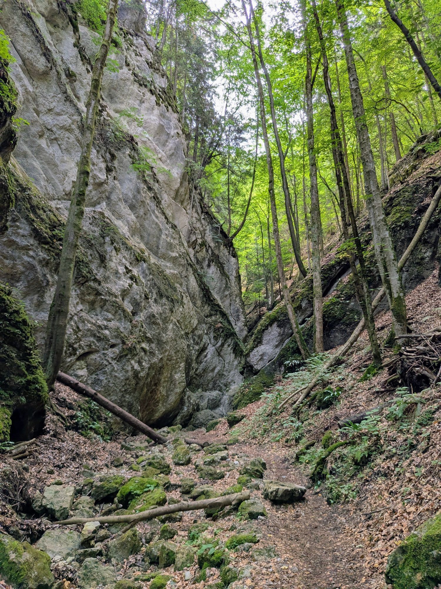
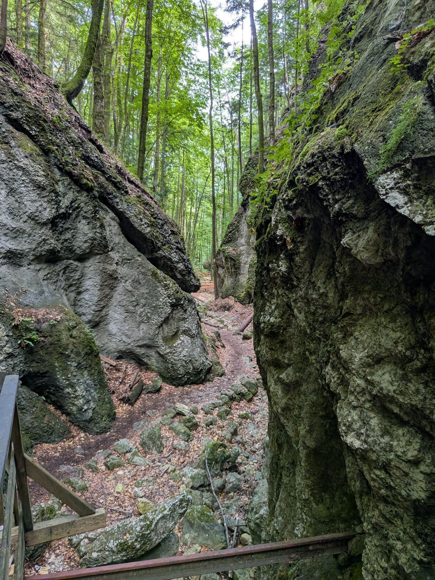
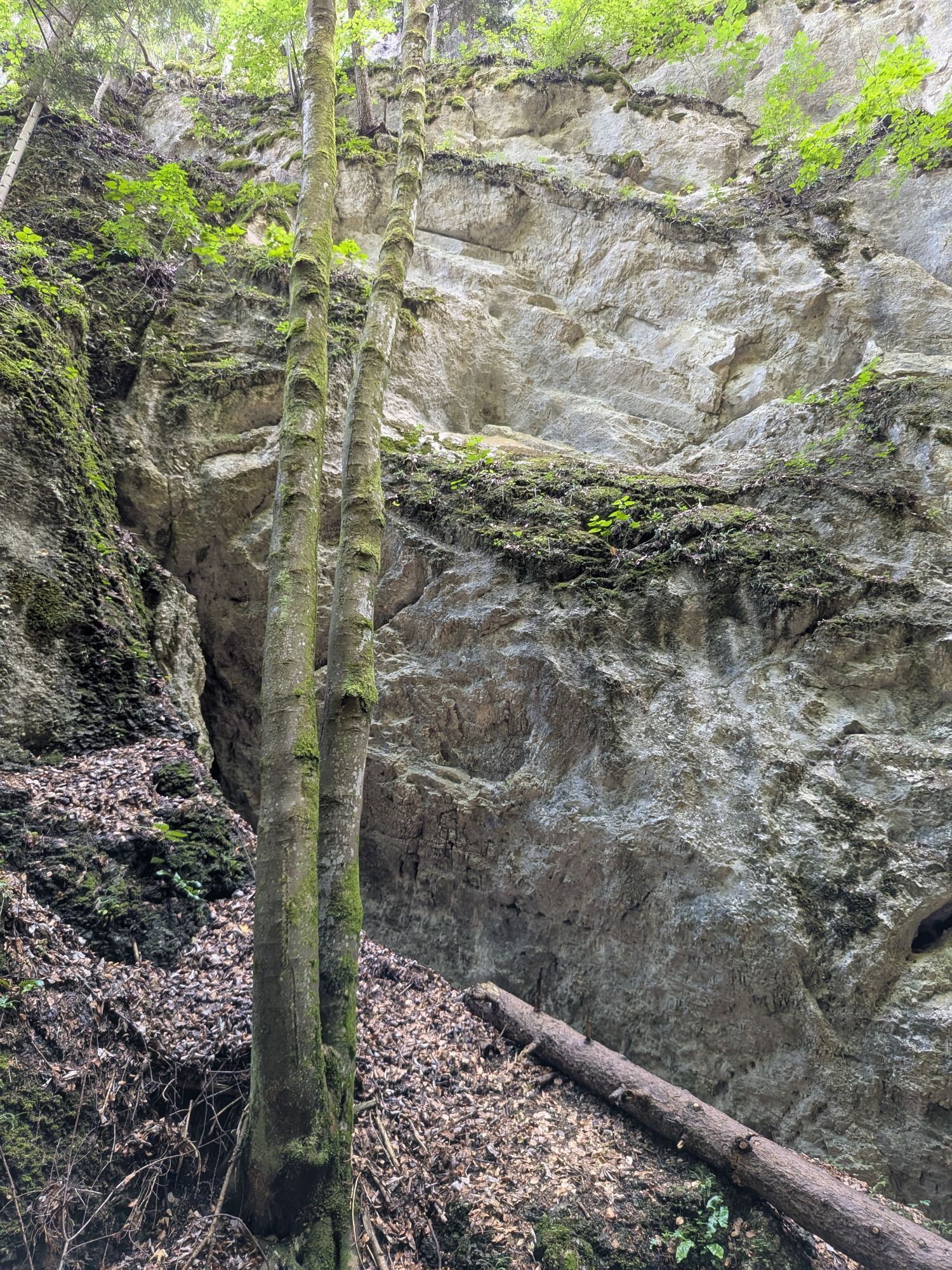
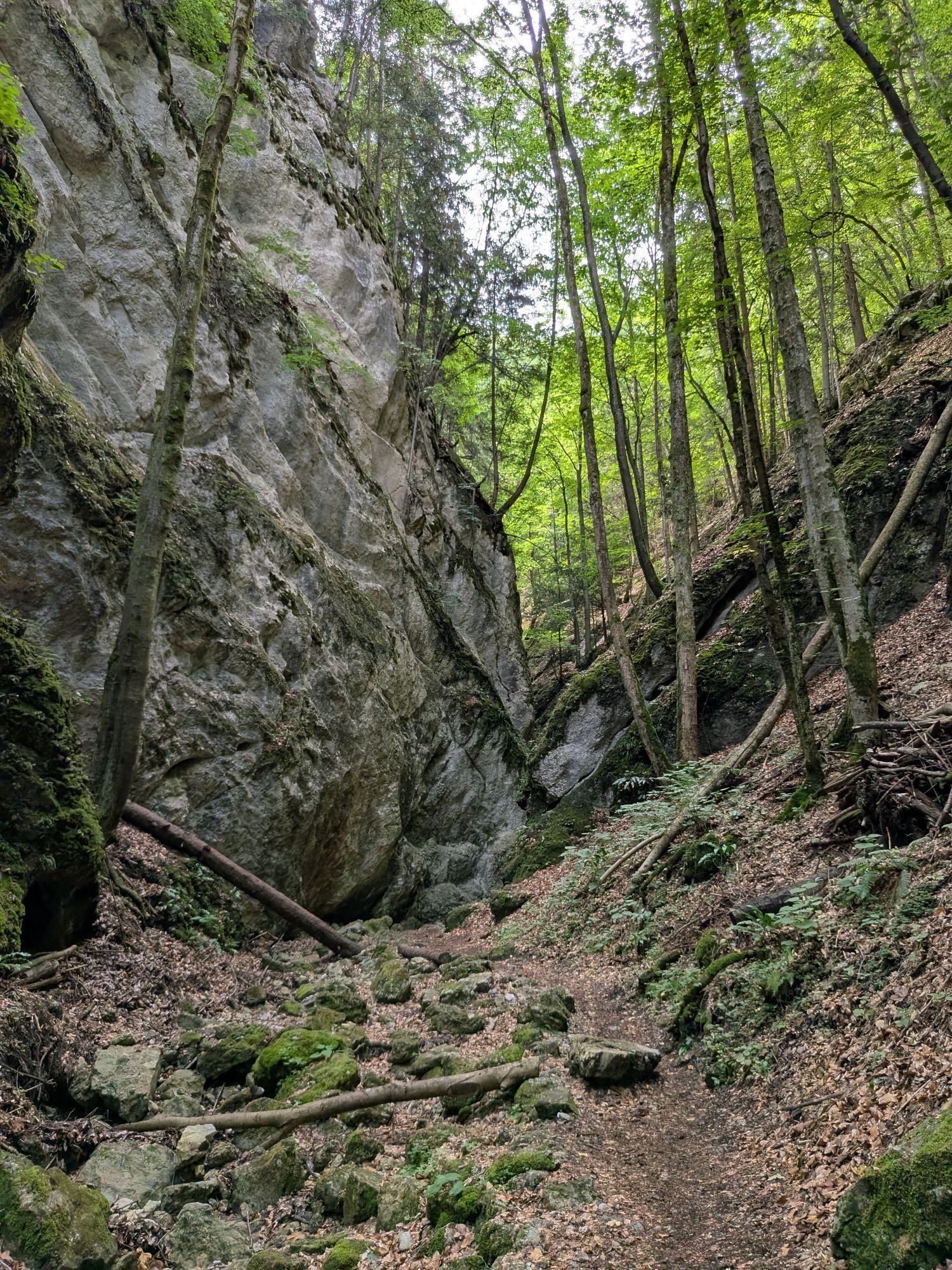
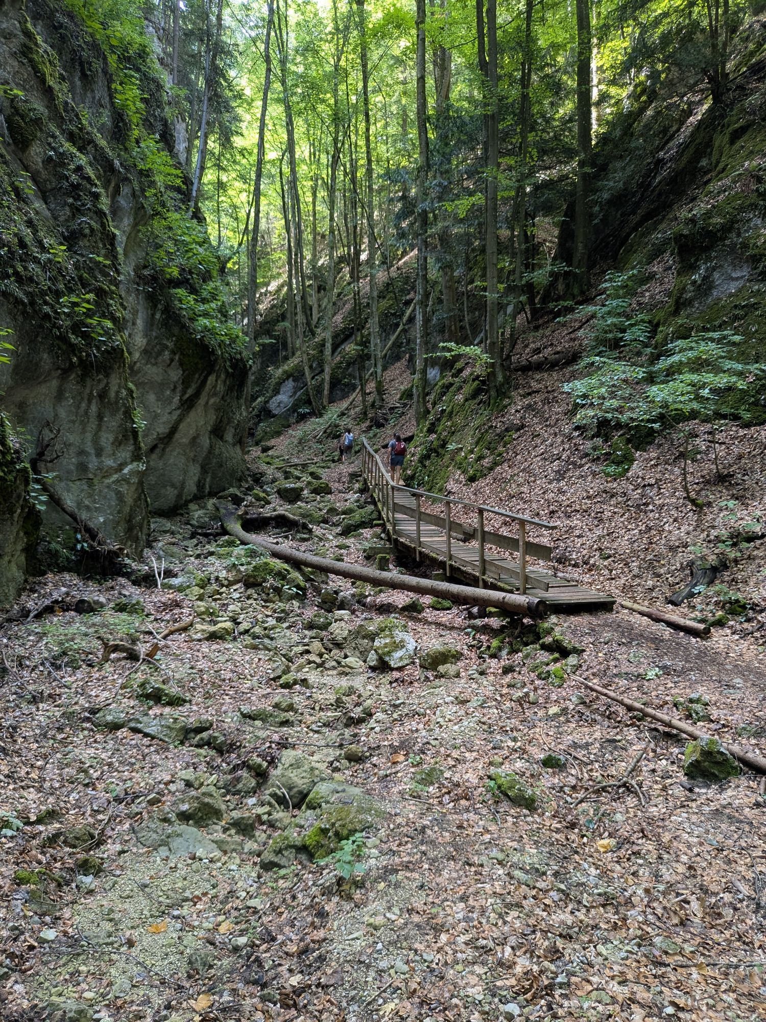
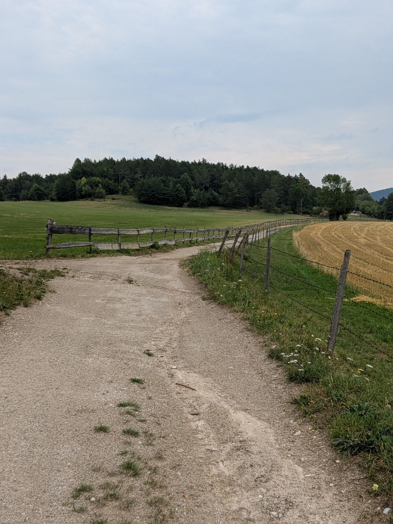
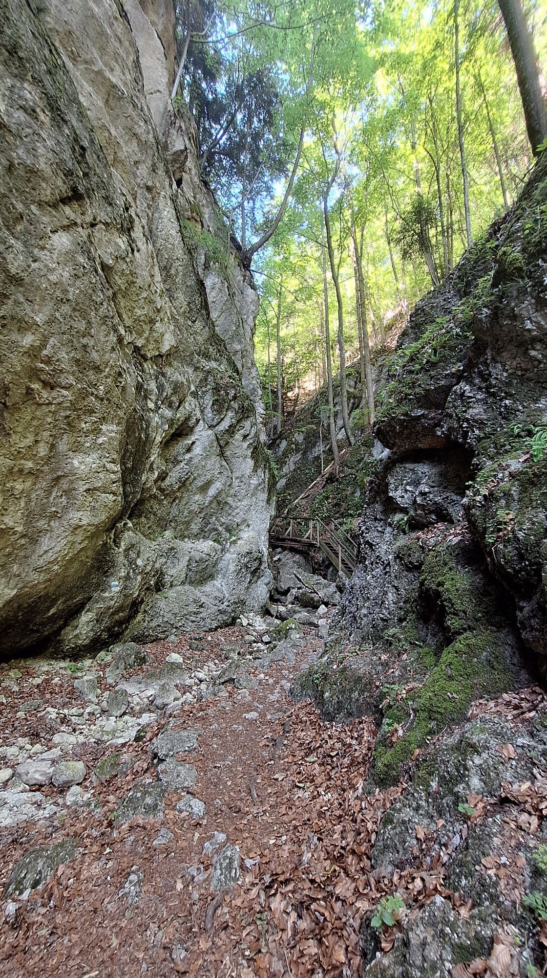
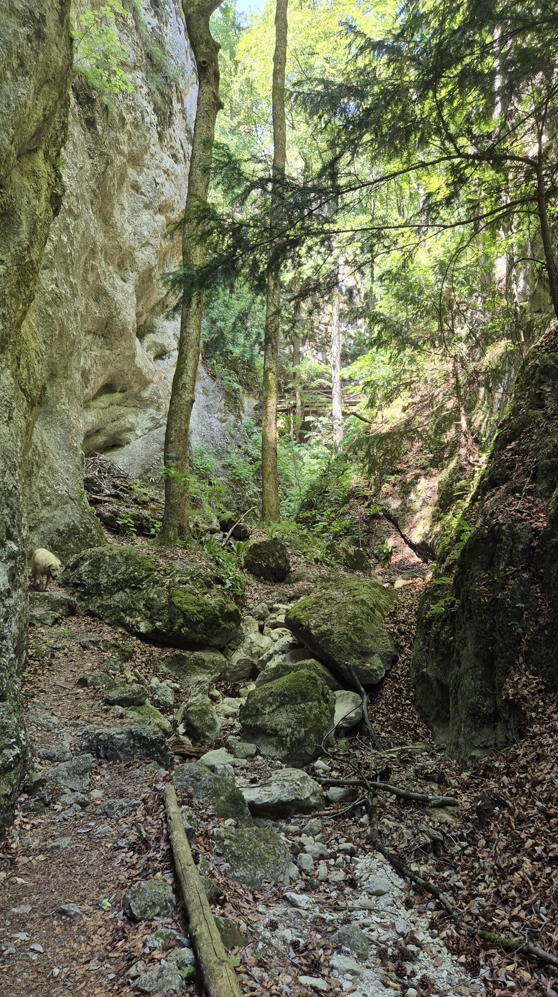
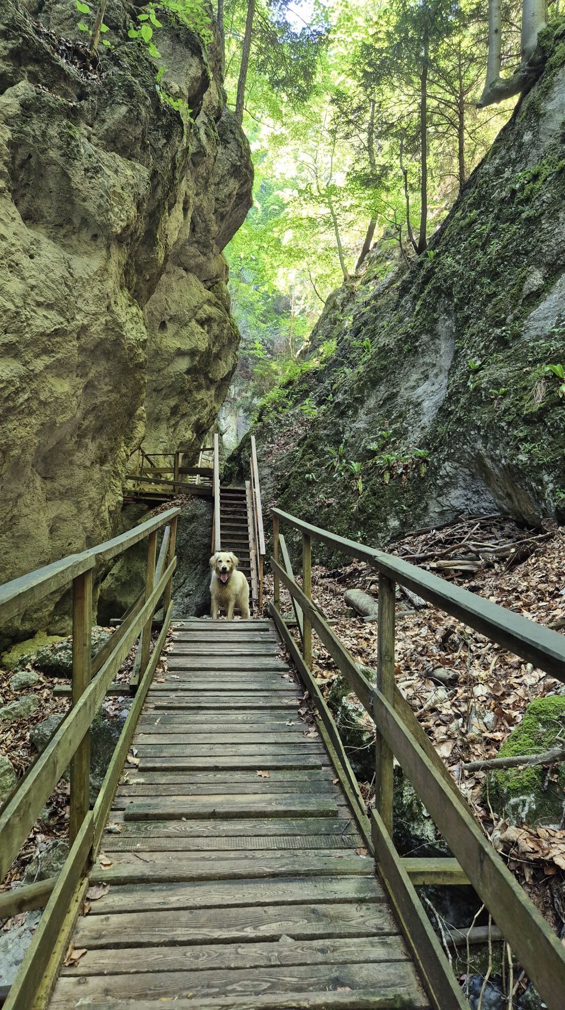
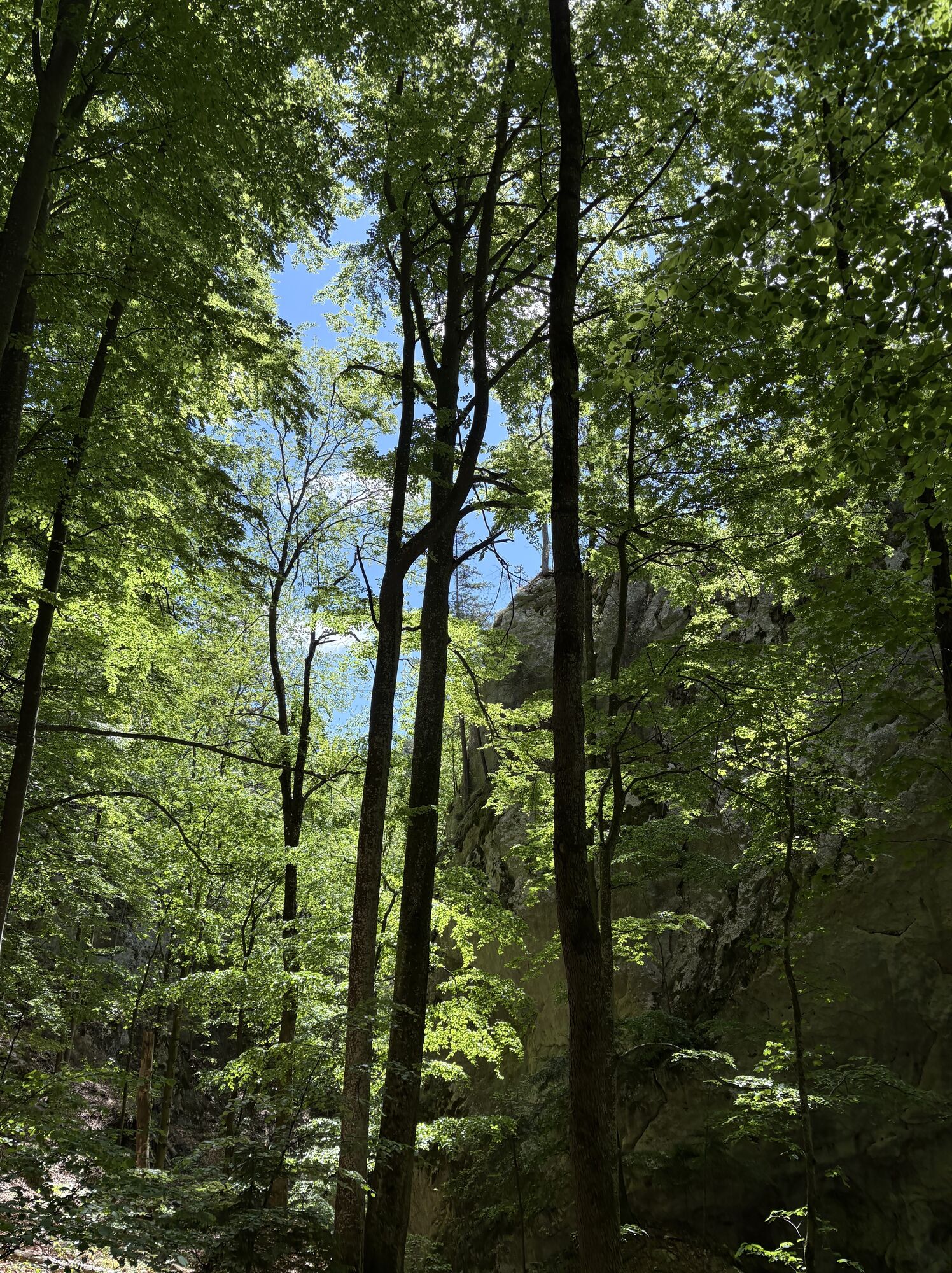
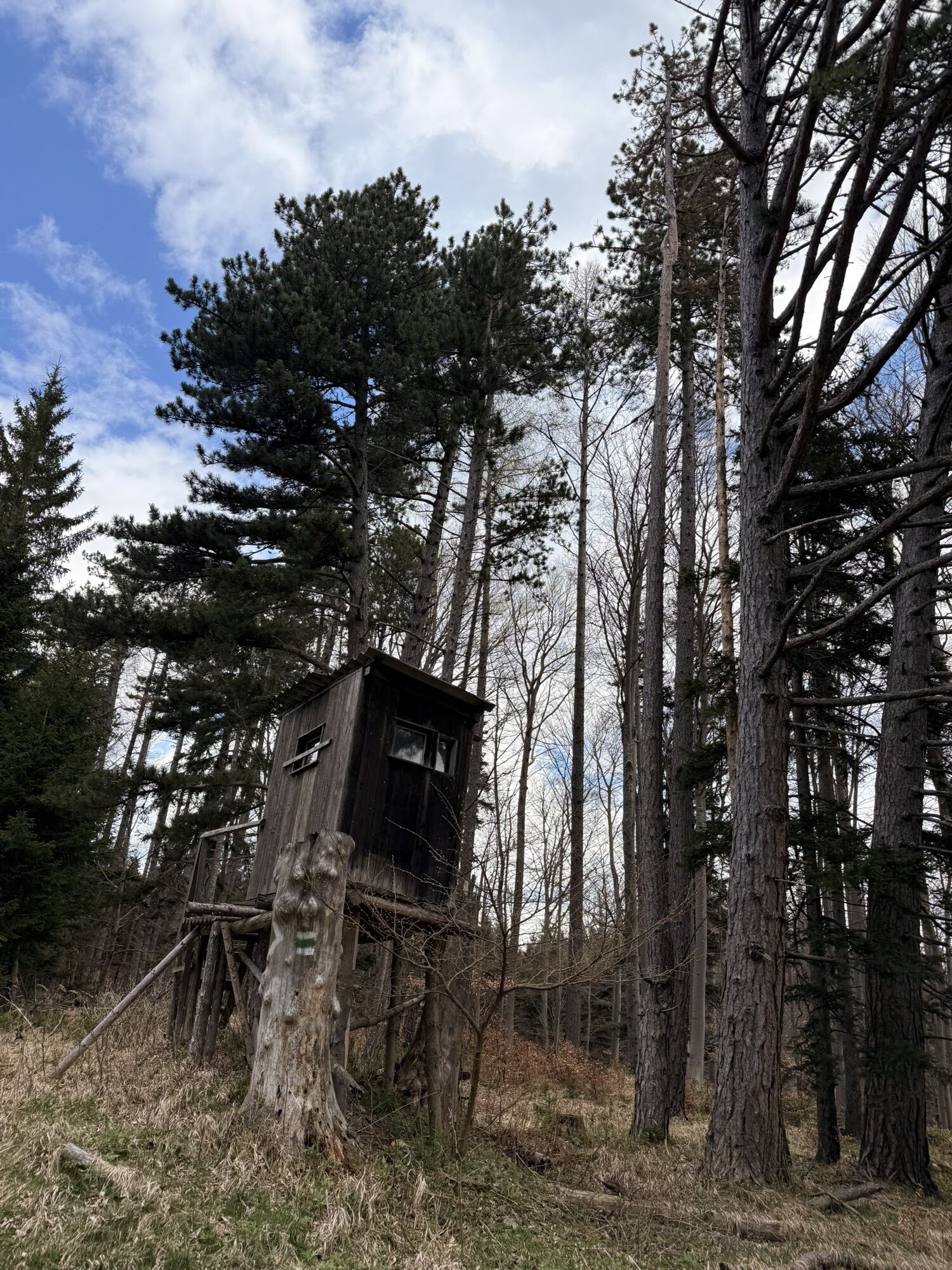
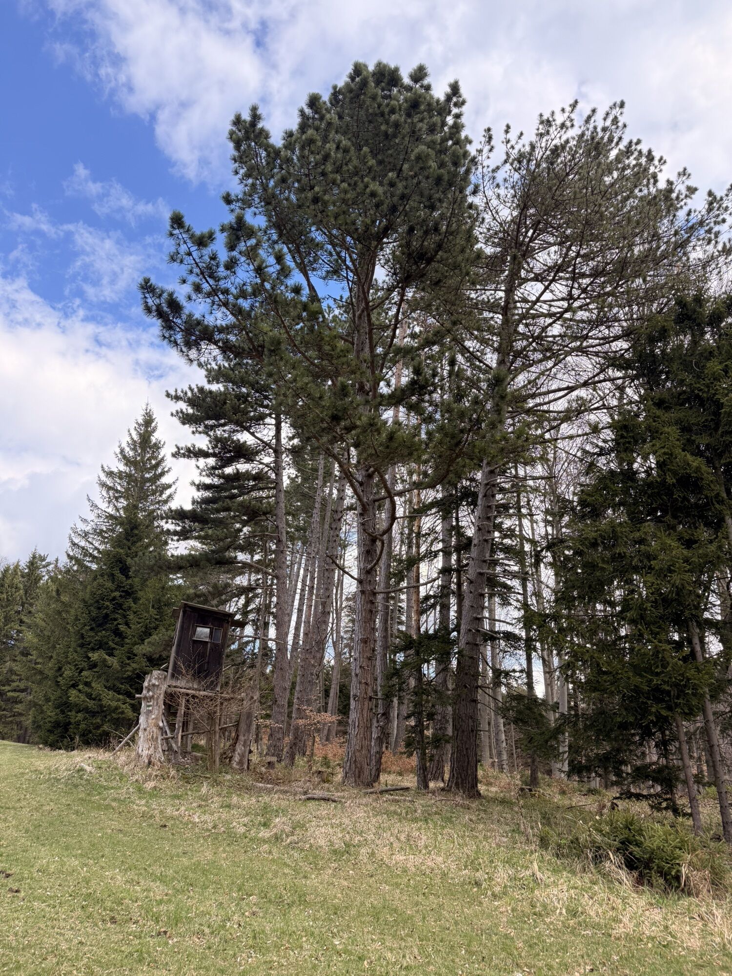
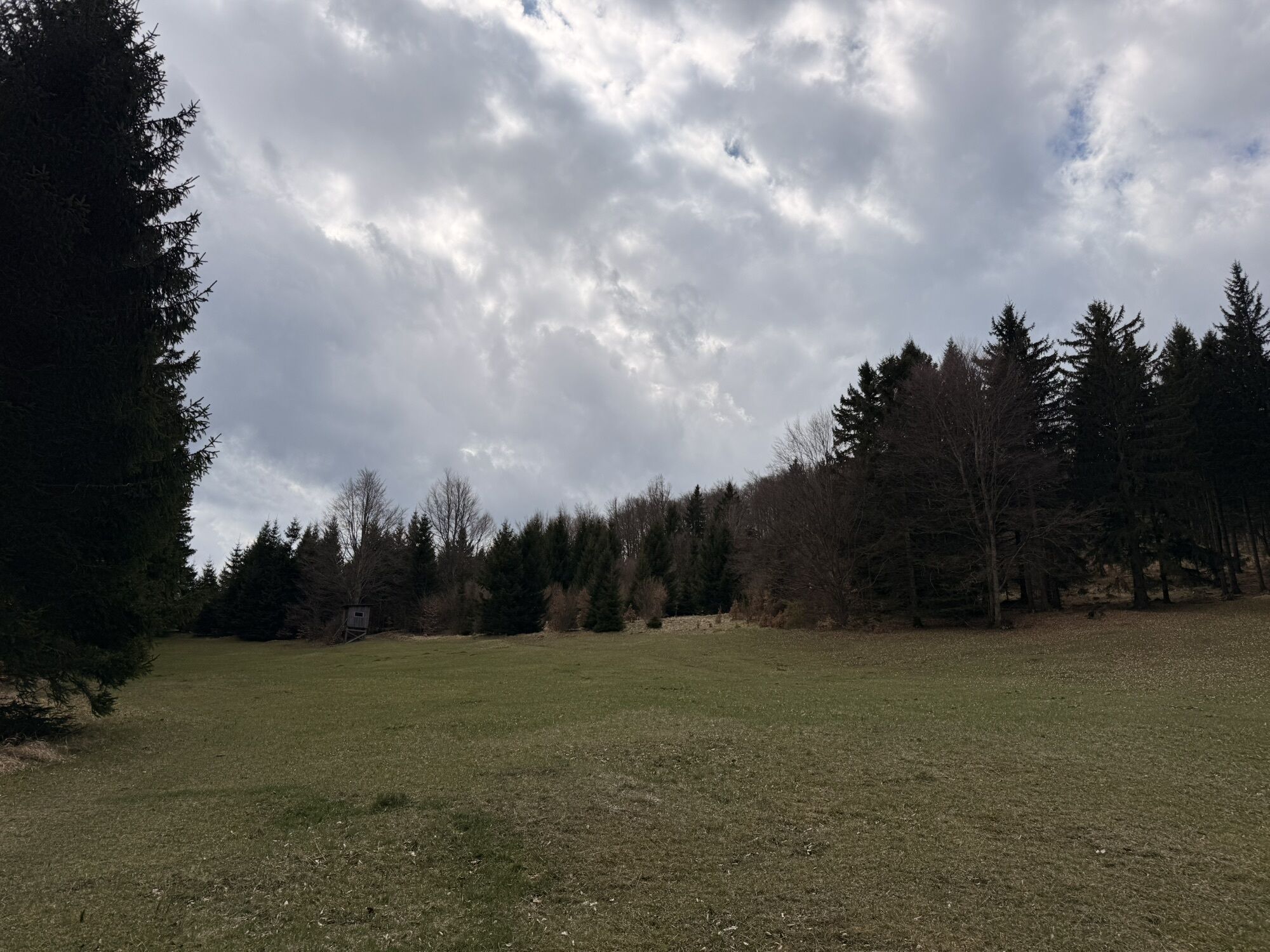
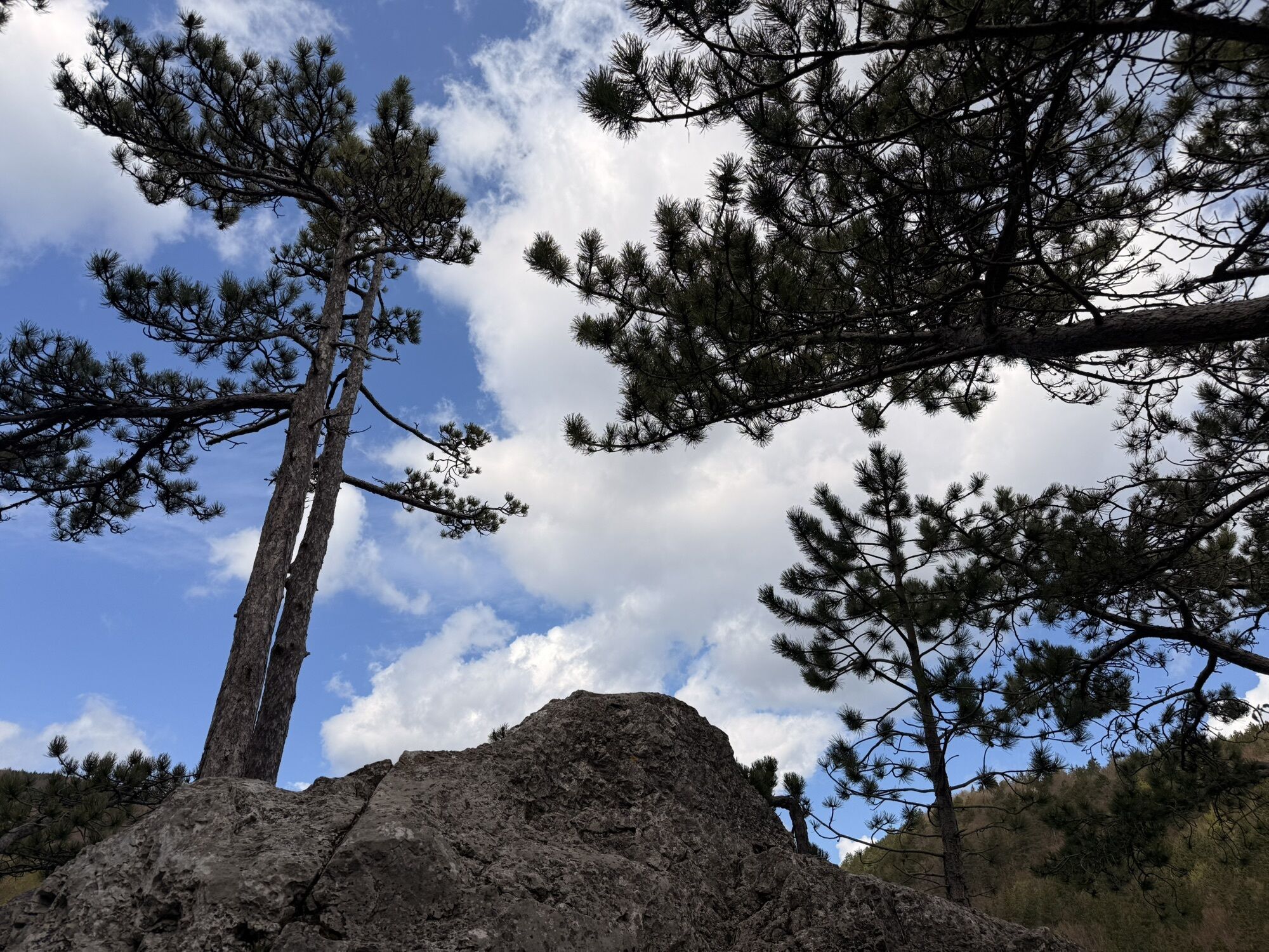
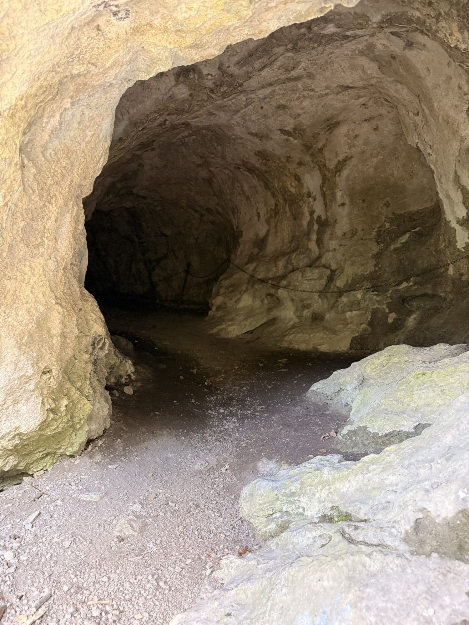
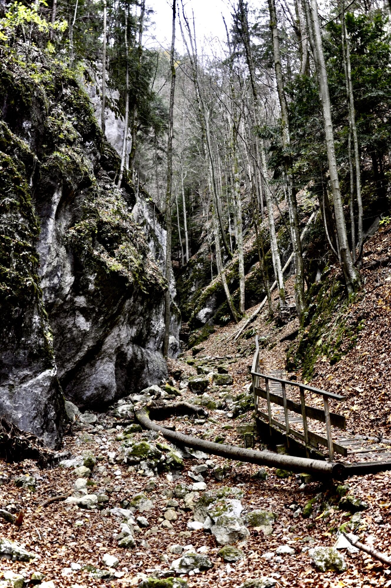
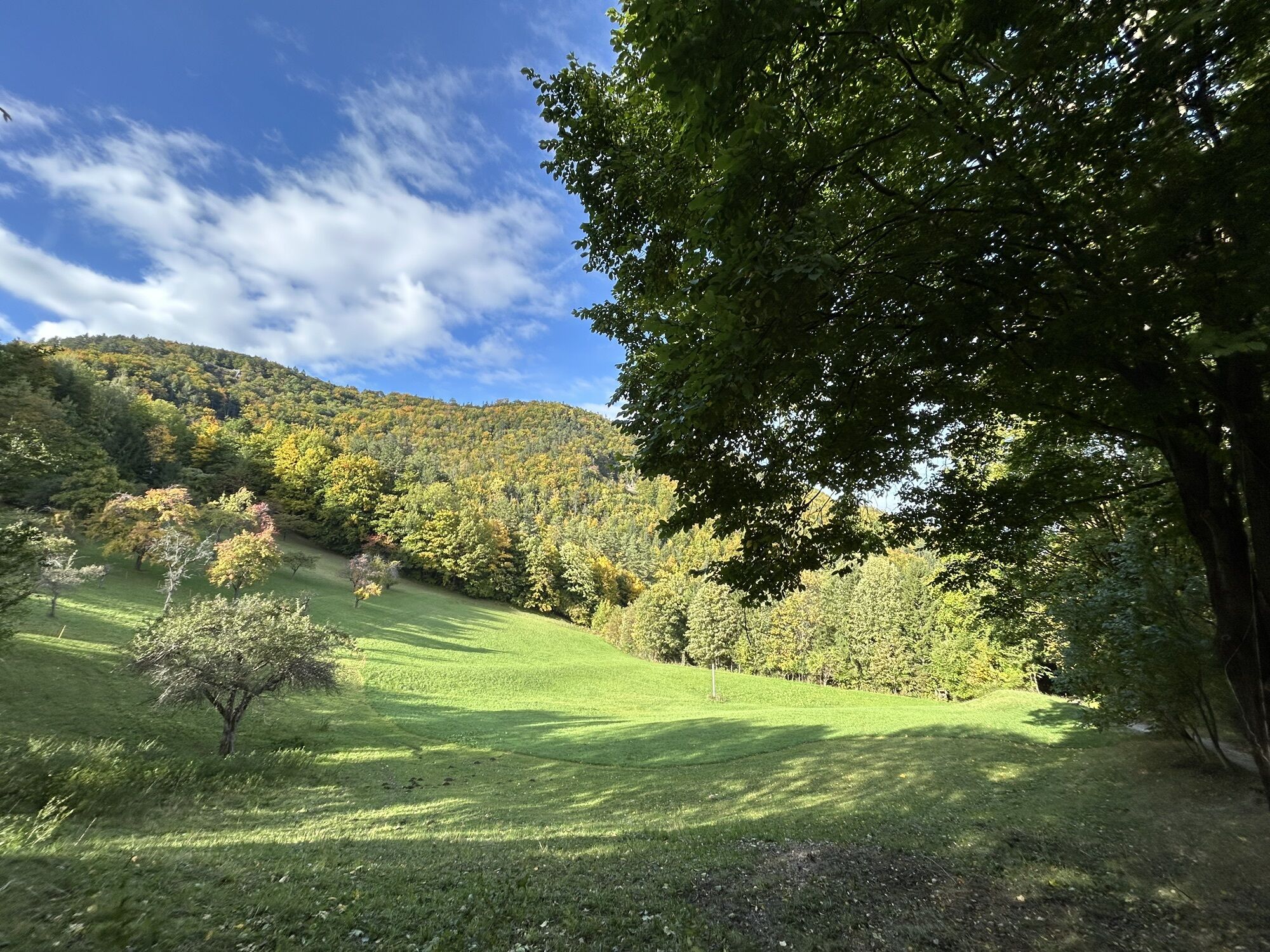
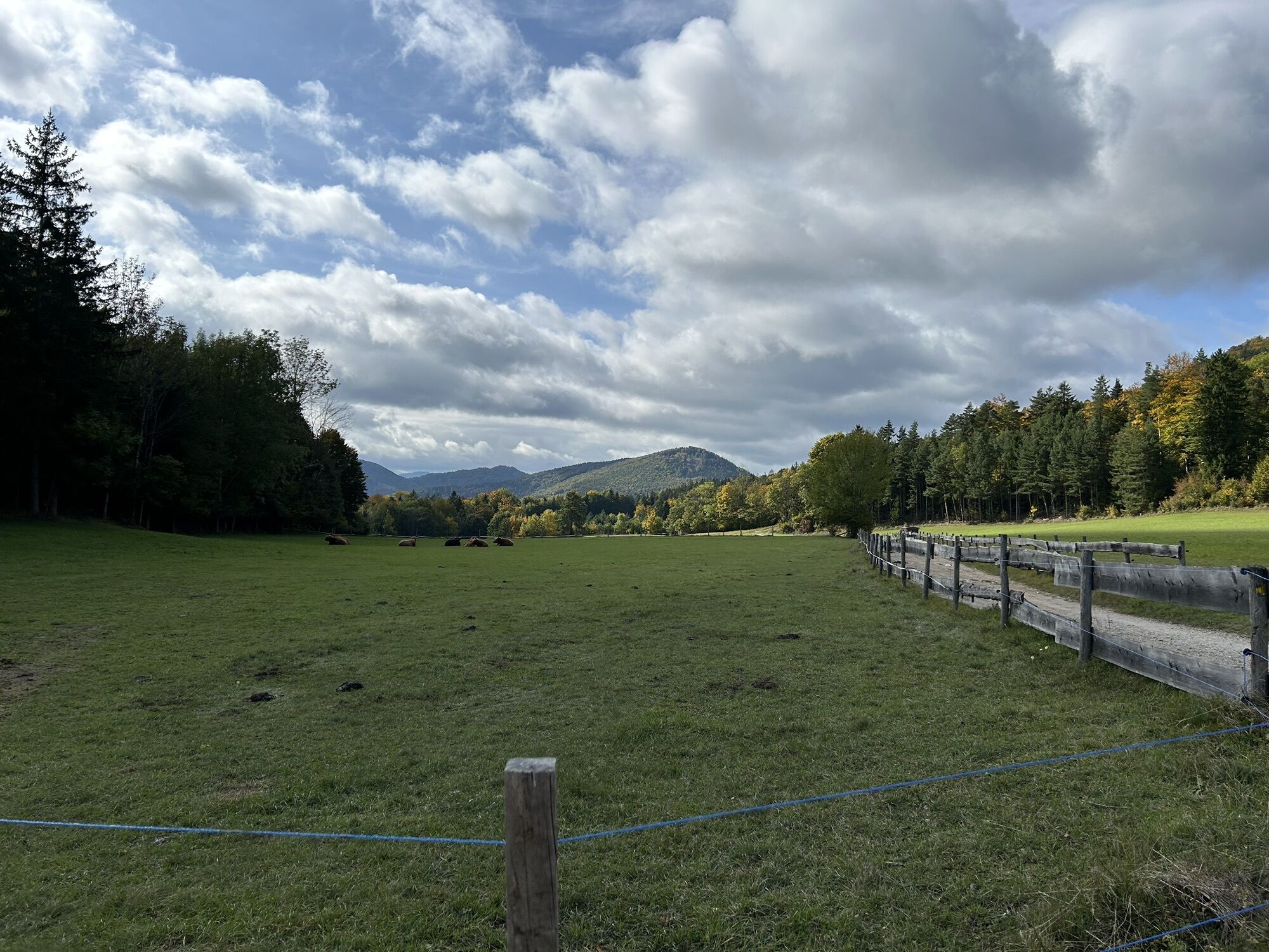
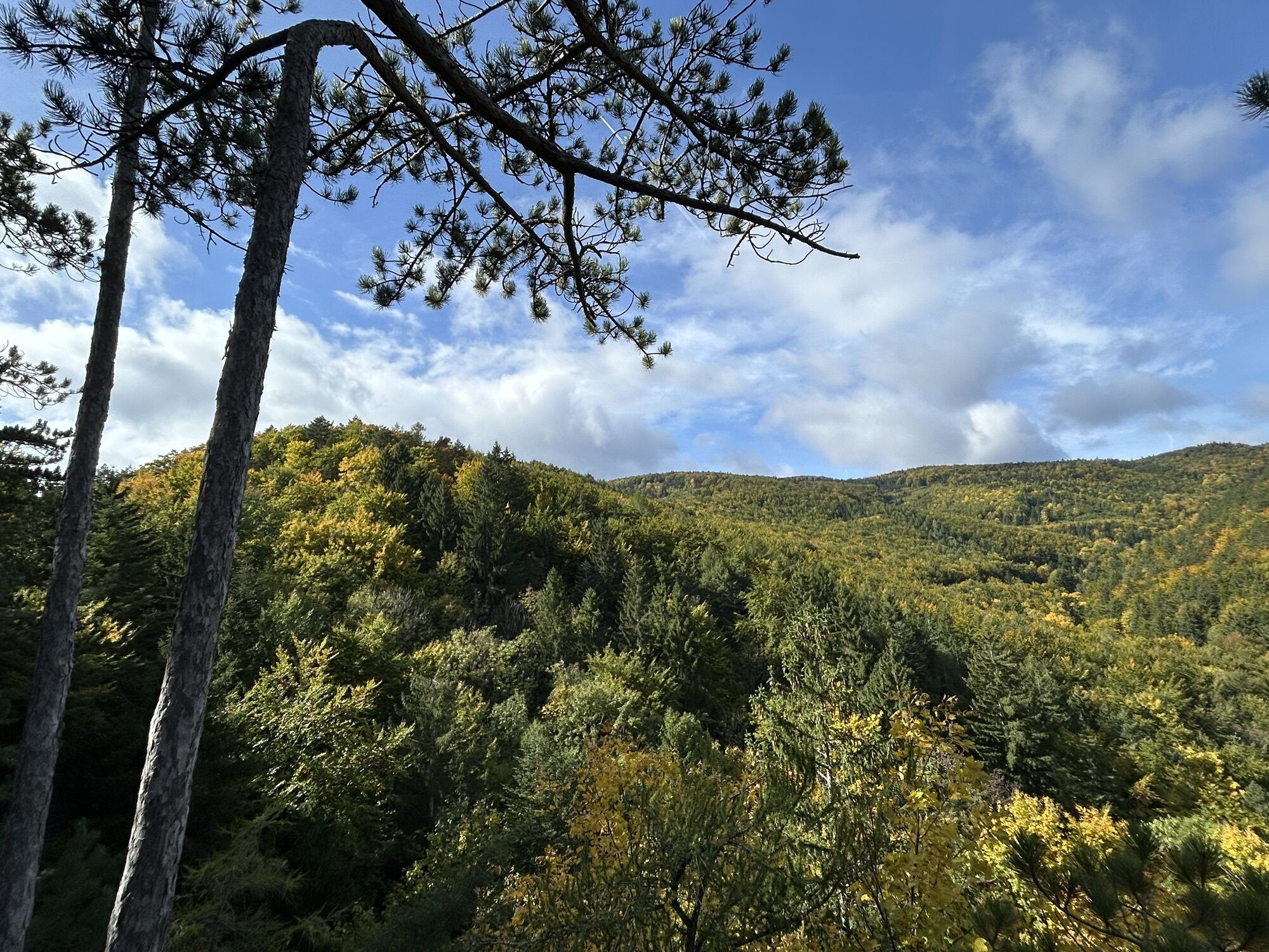
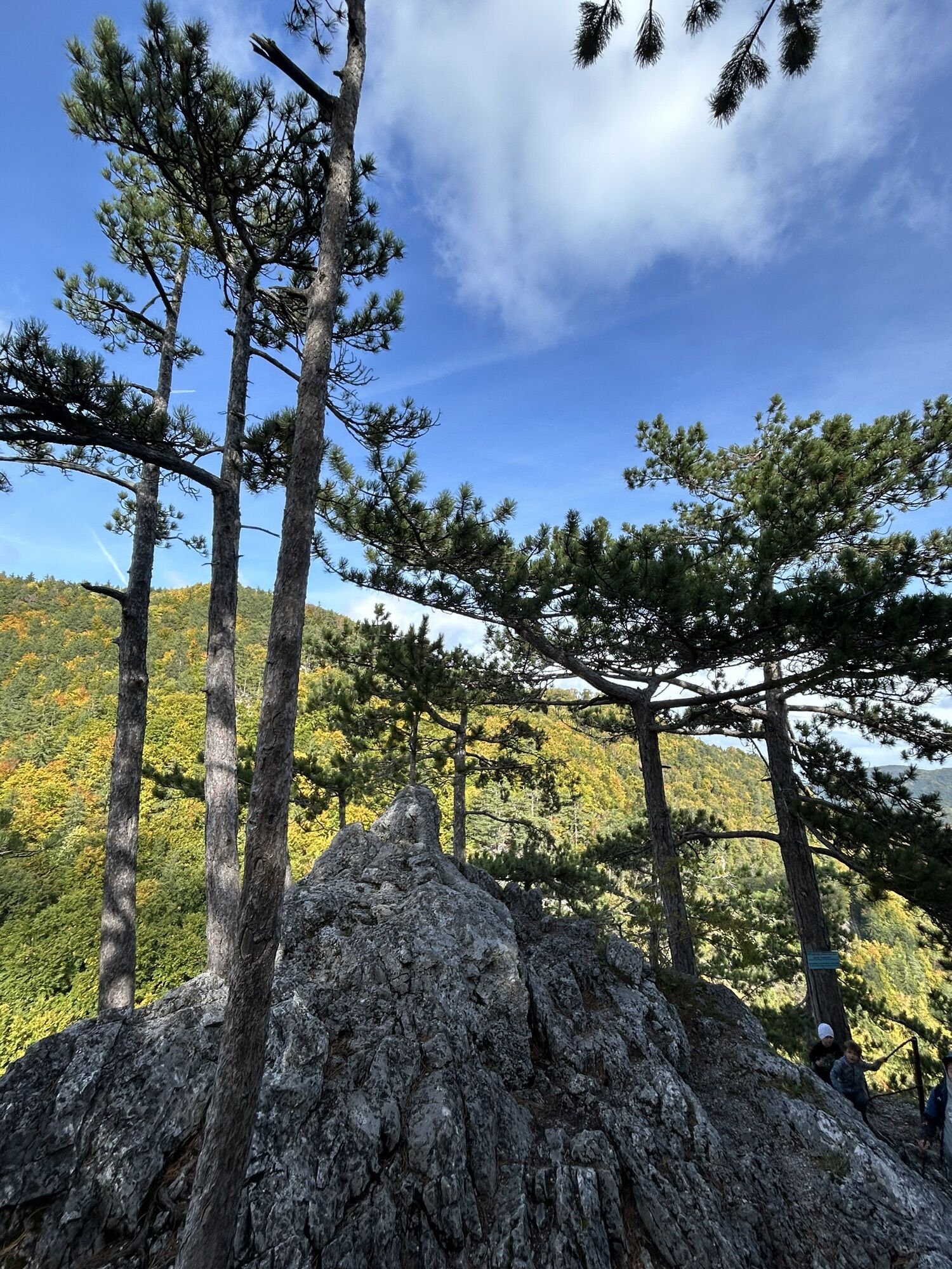
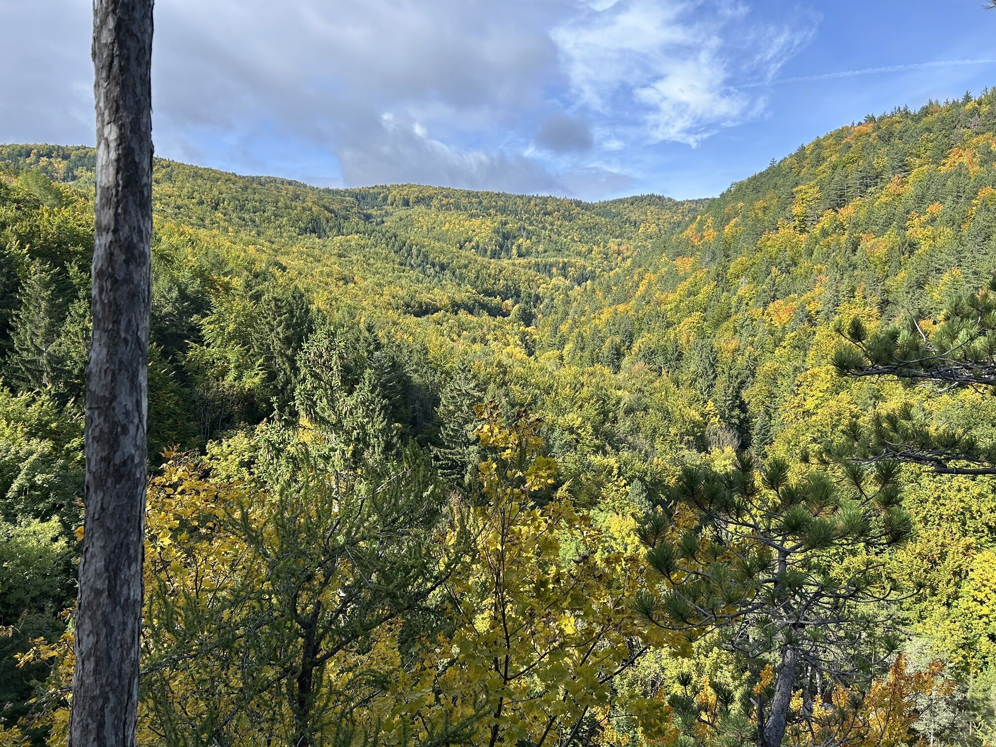
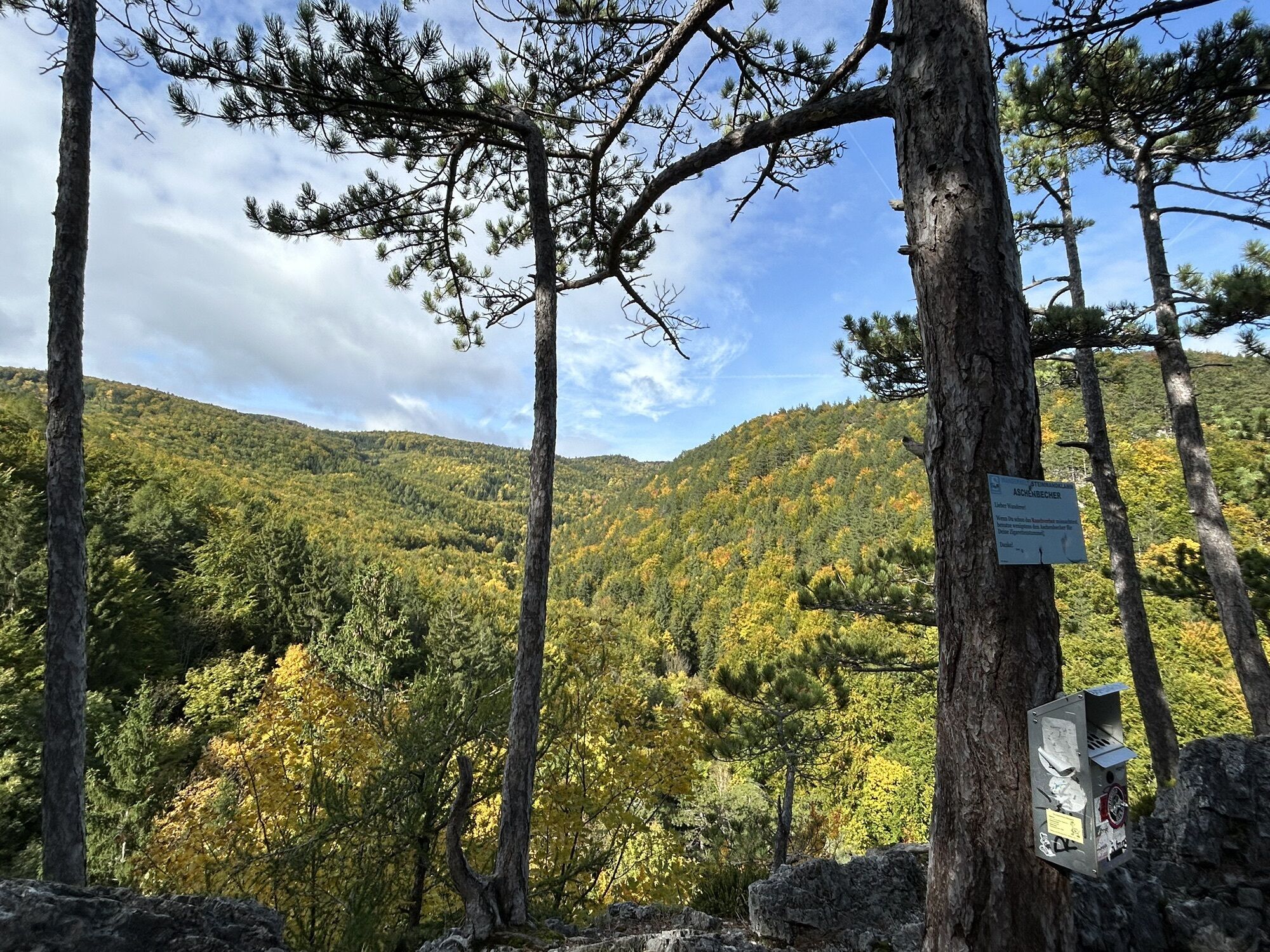
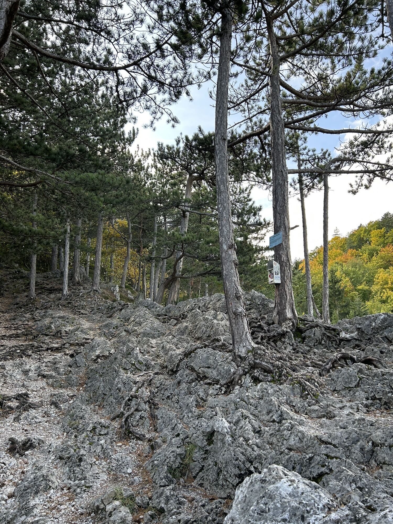
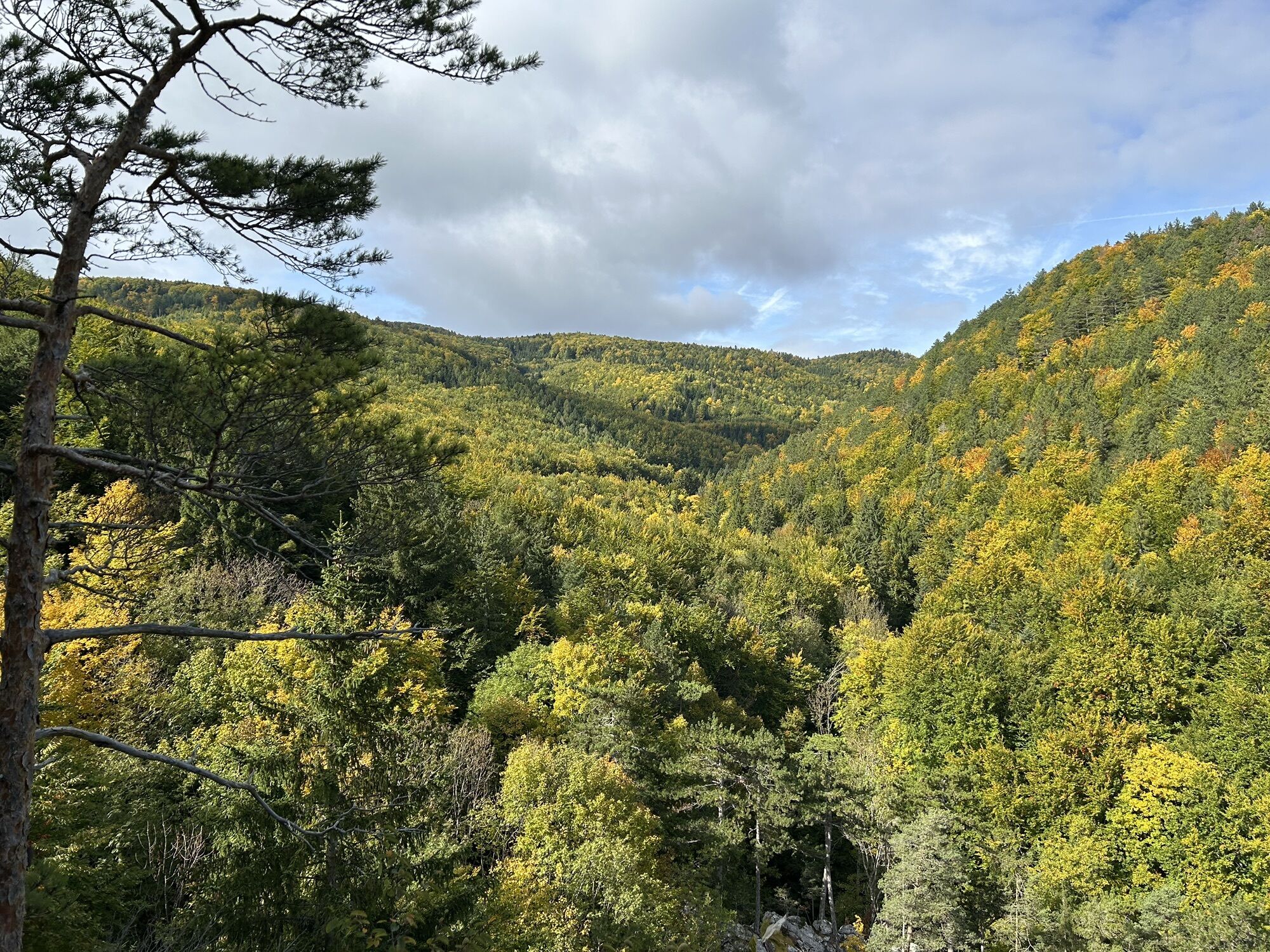
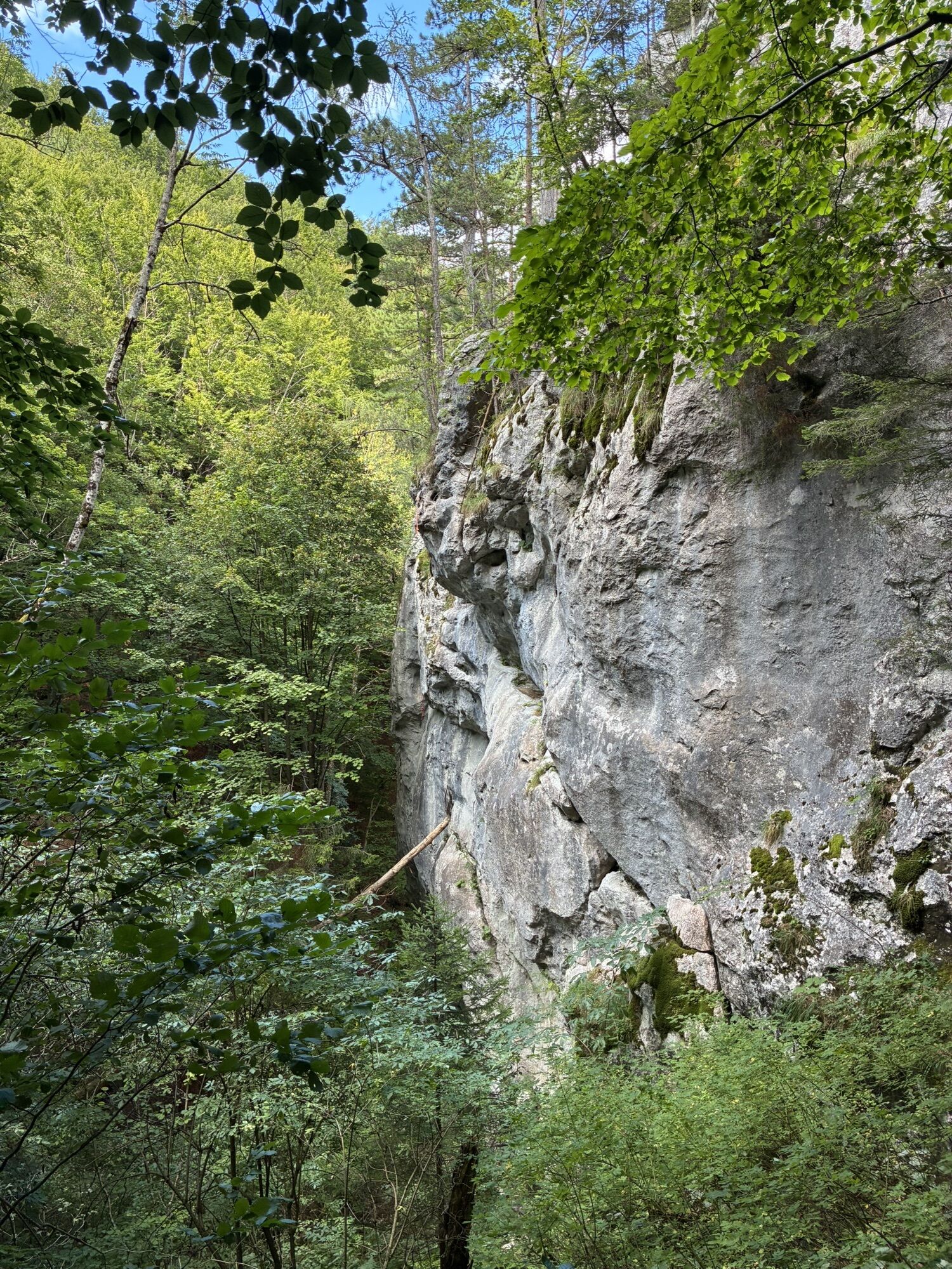
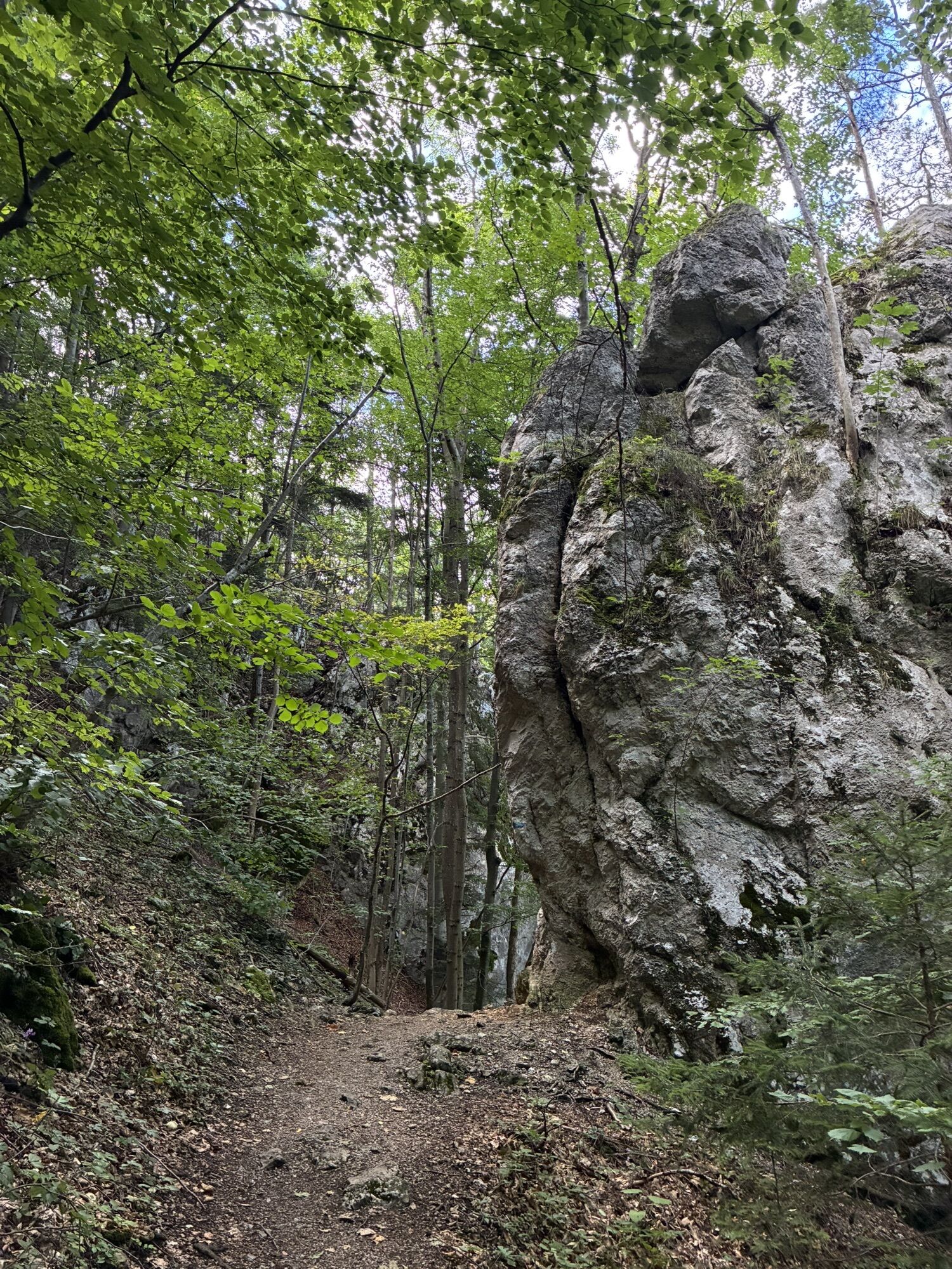

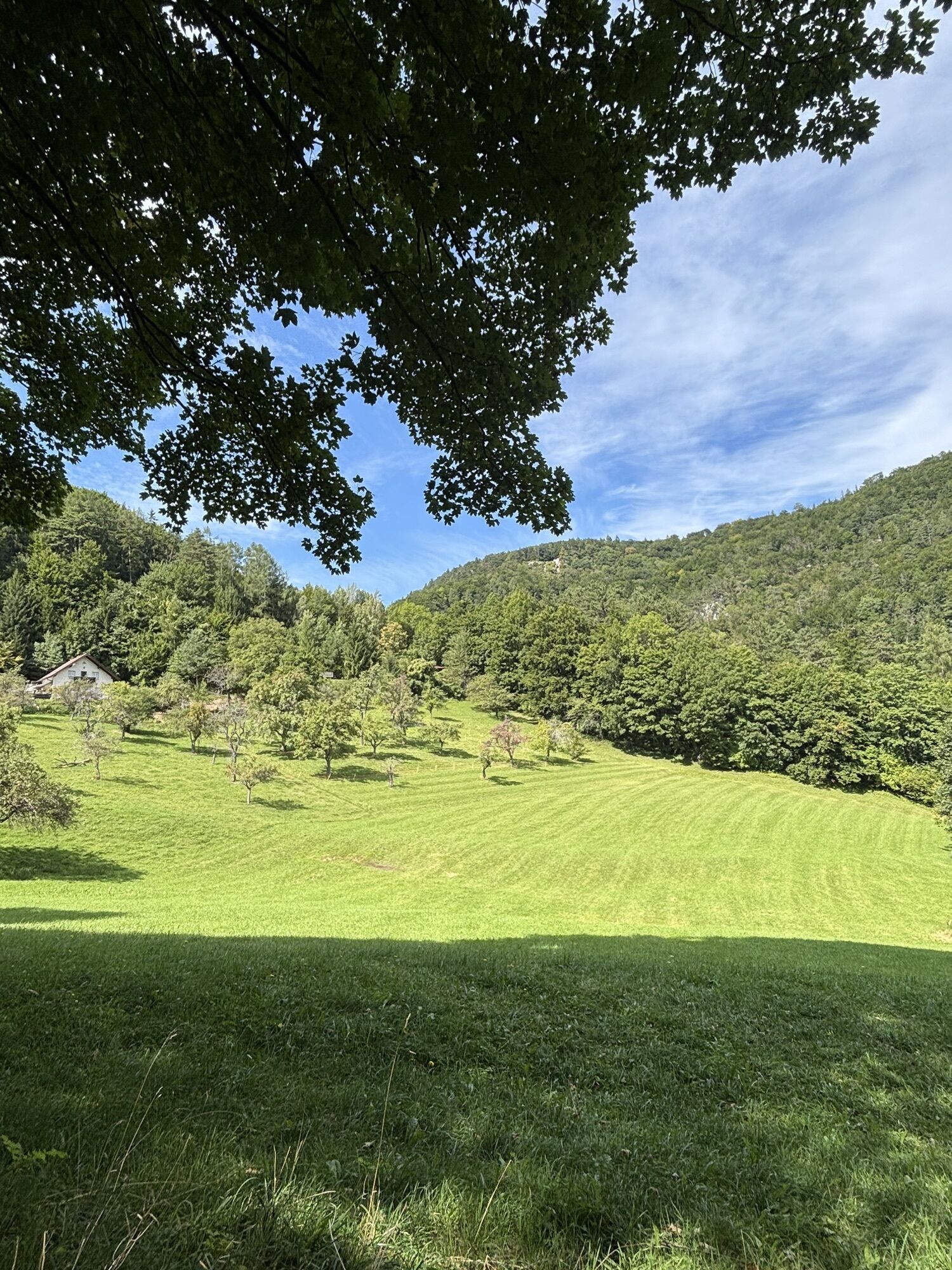
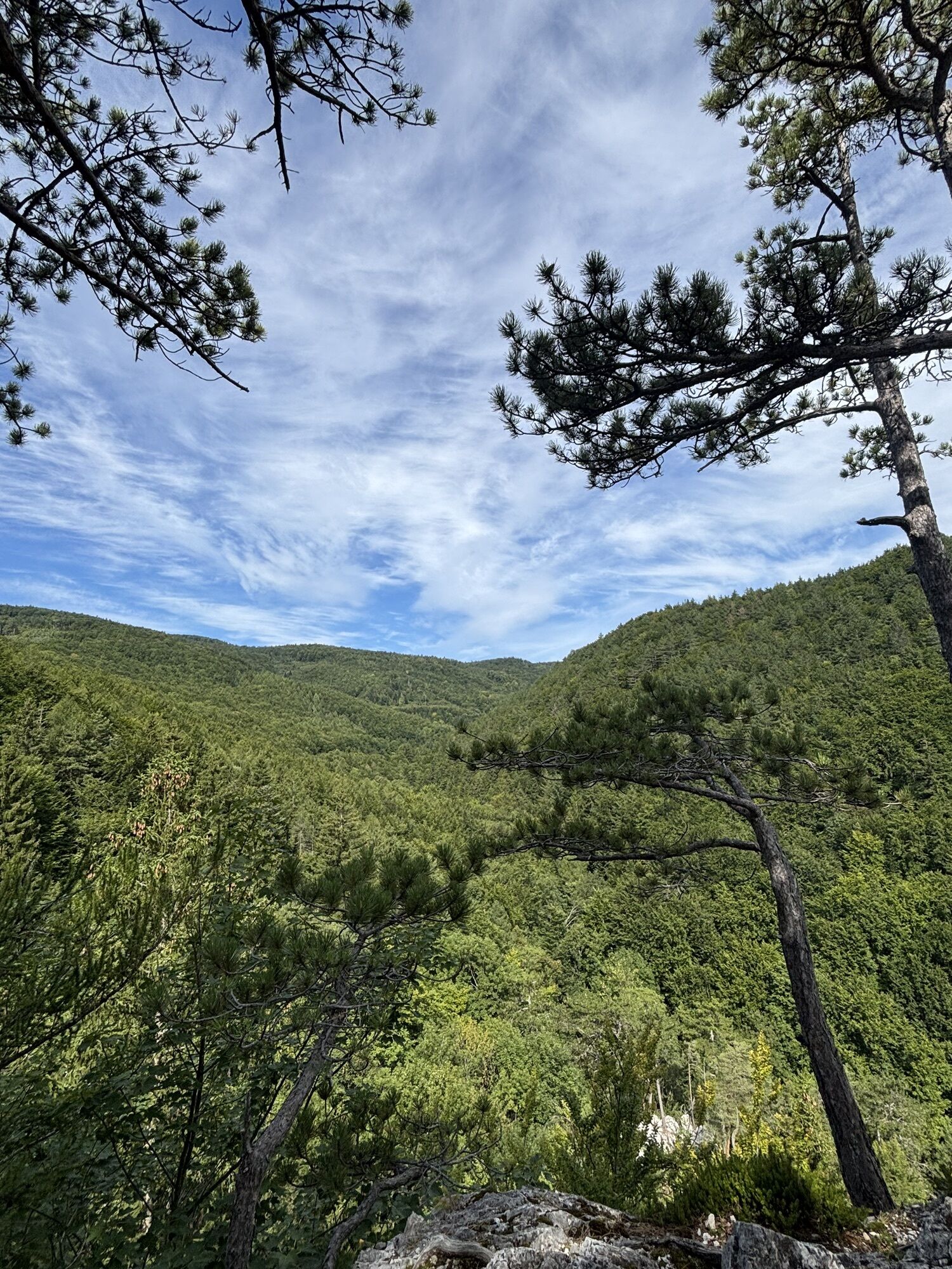
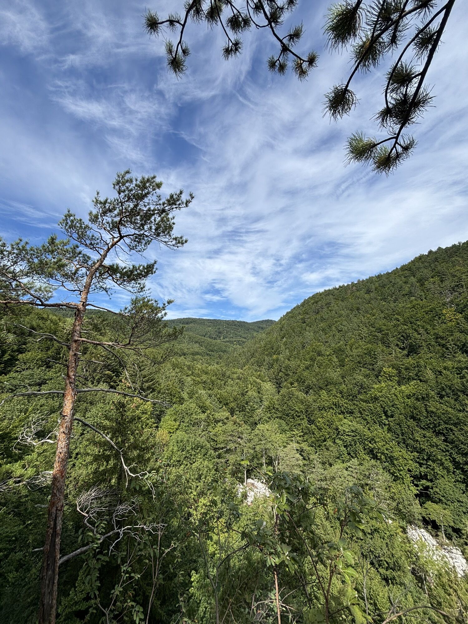
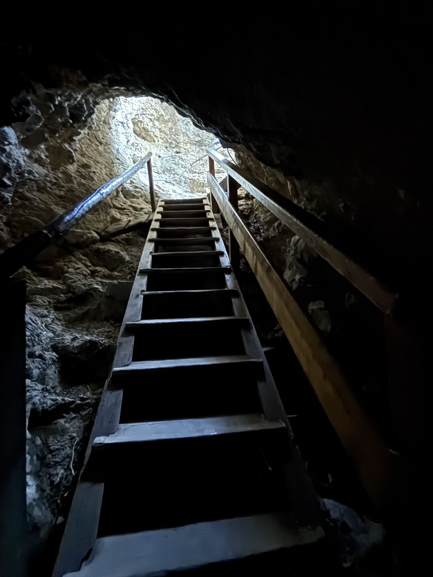
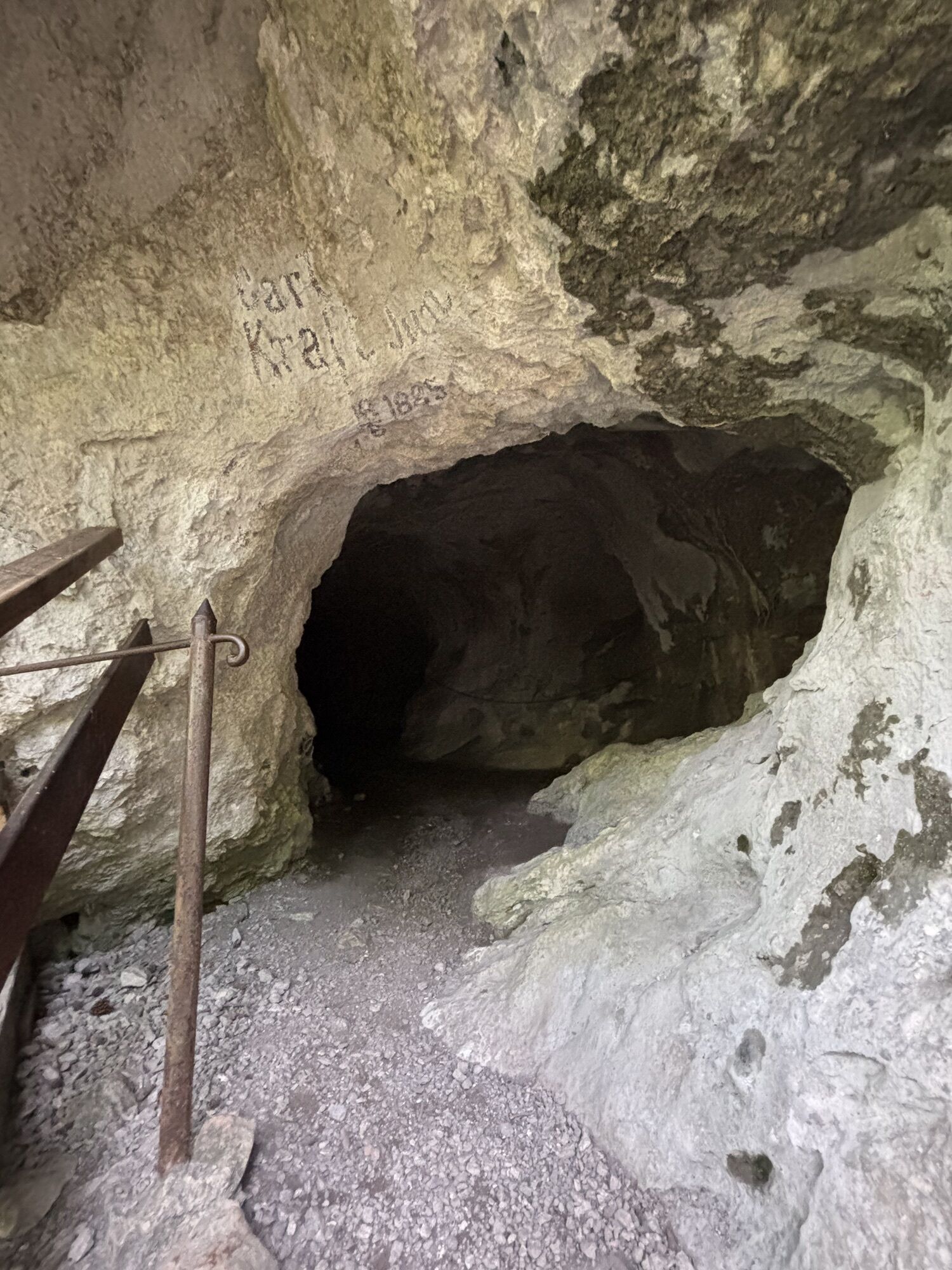
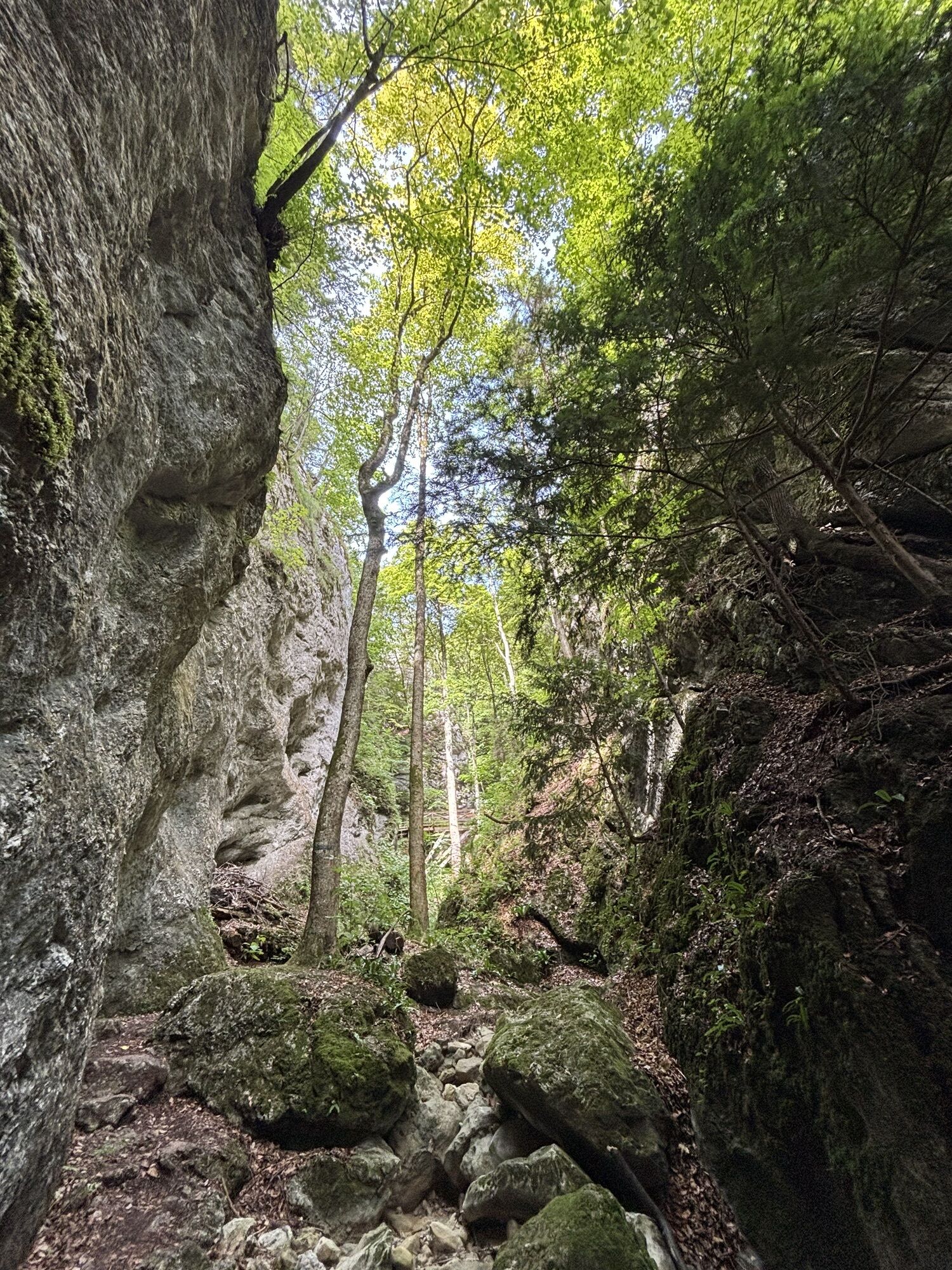
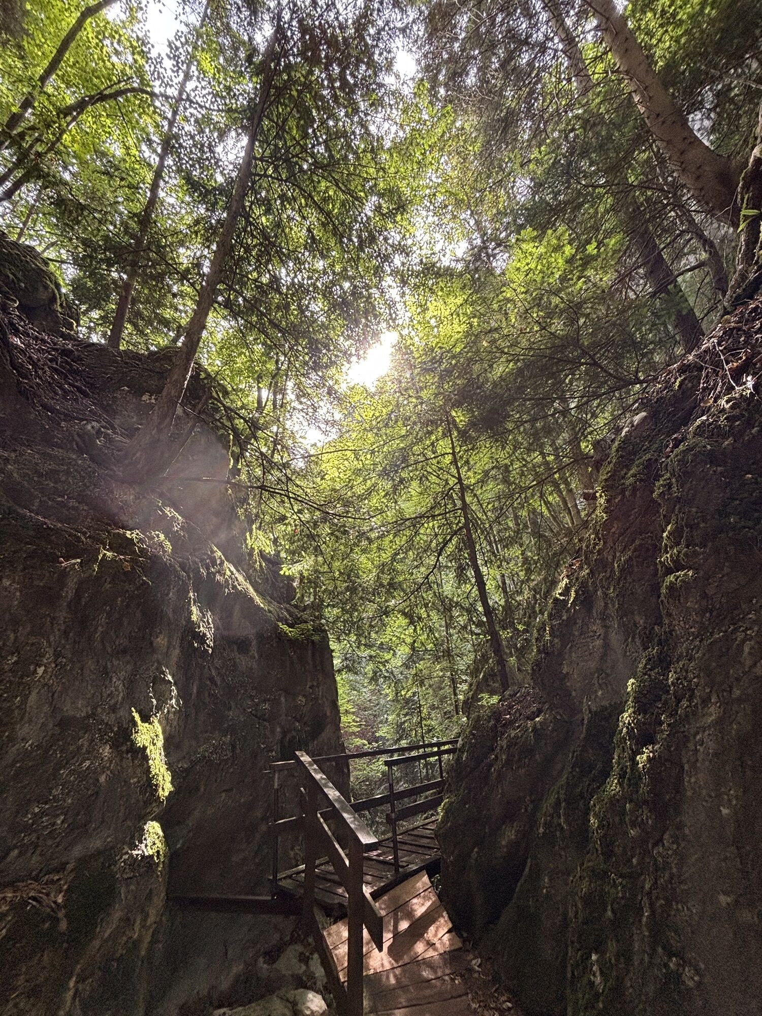
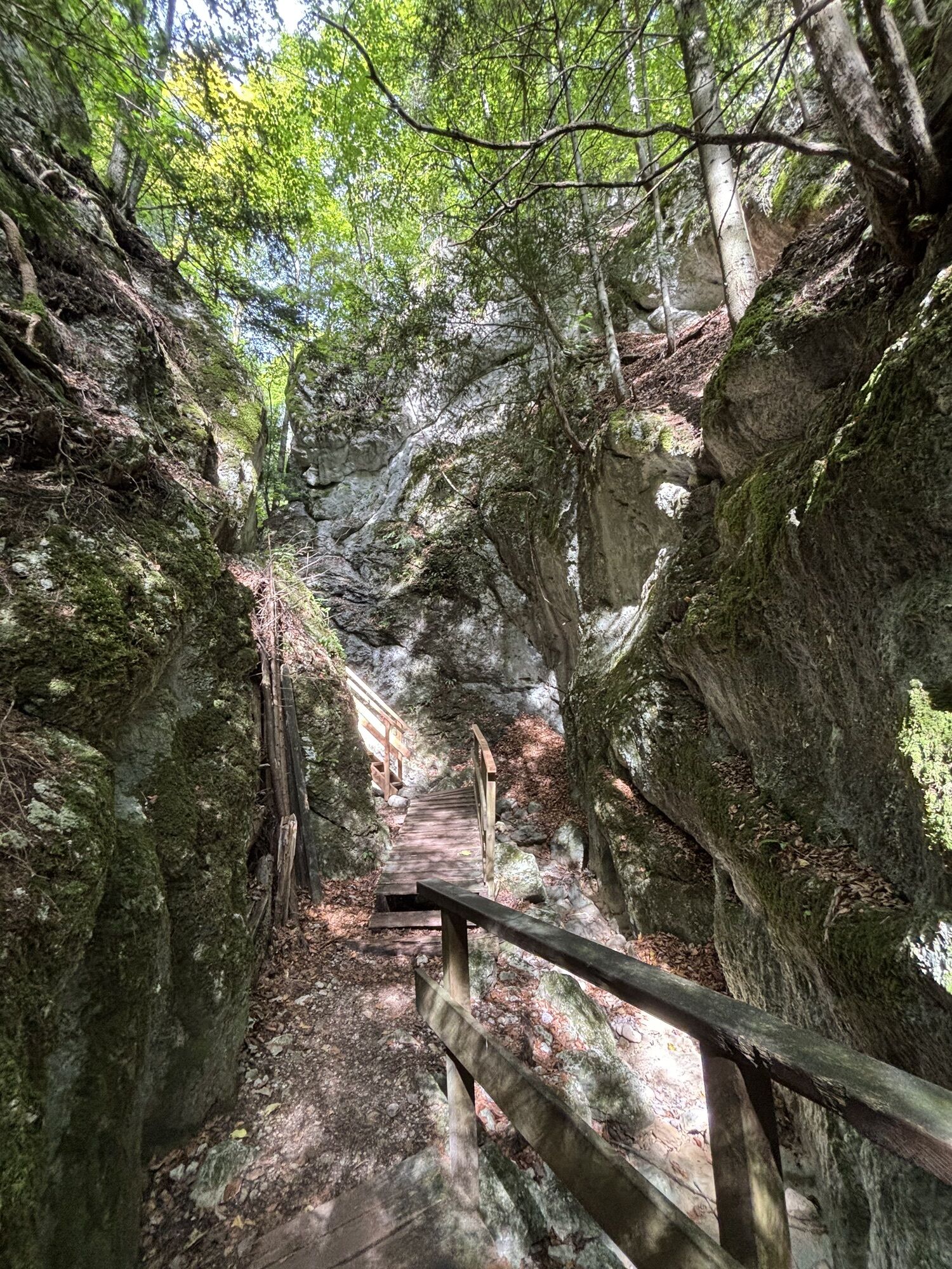
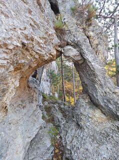
Tip/Fun-Fact: The romantically wild Steinwandklamm is one of the southernmost points of the Vienna Woods. Sure-footed and fearless adventurers can get a special thrill from the route detour through the Türkenloch.

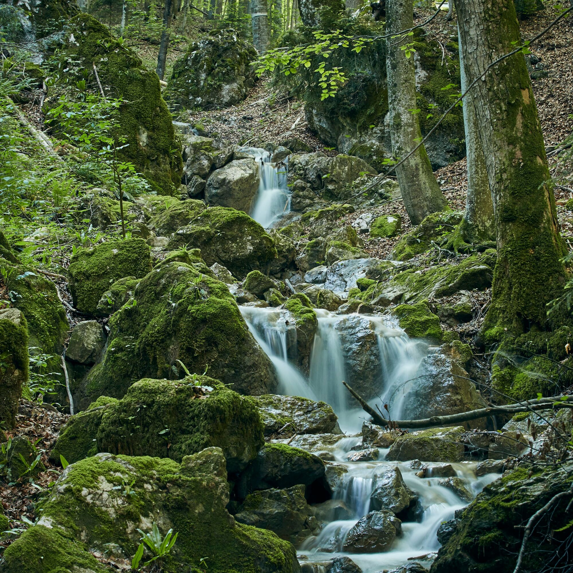

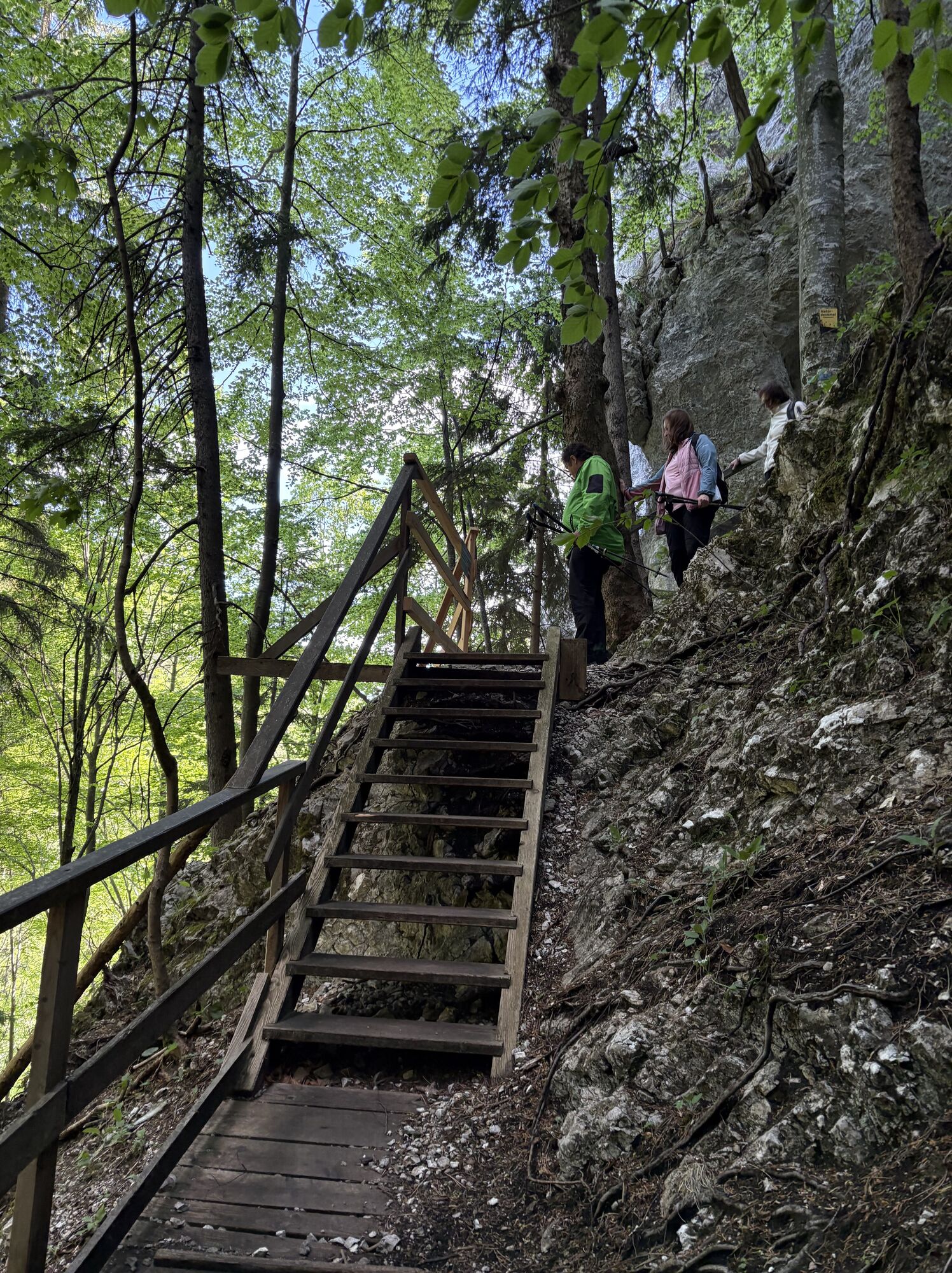
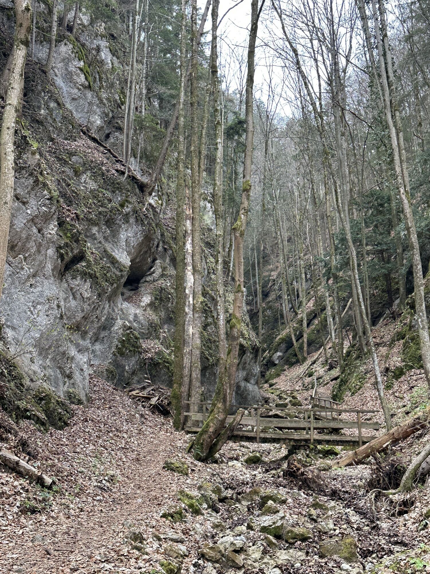
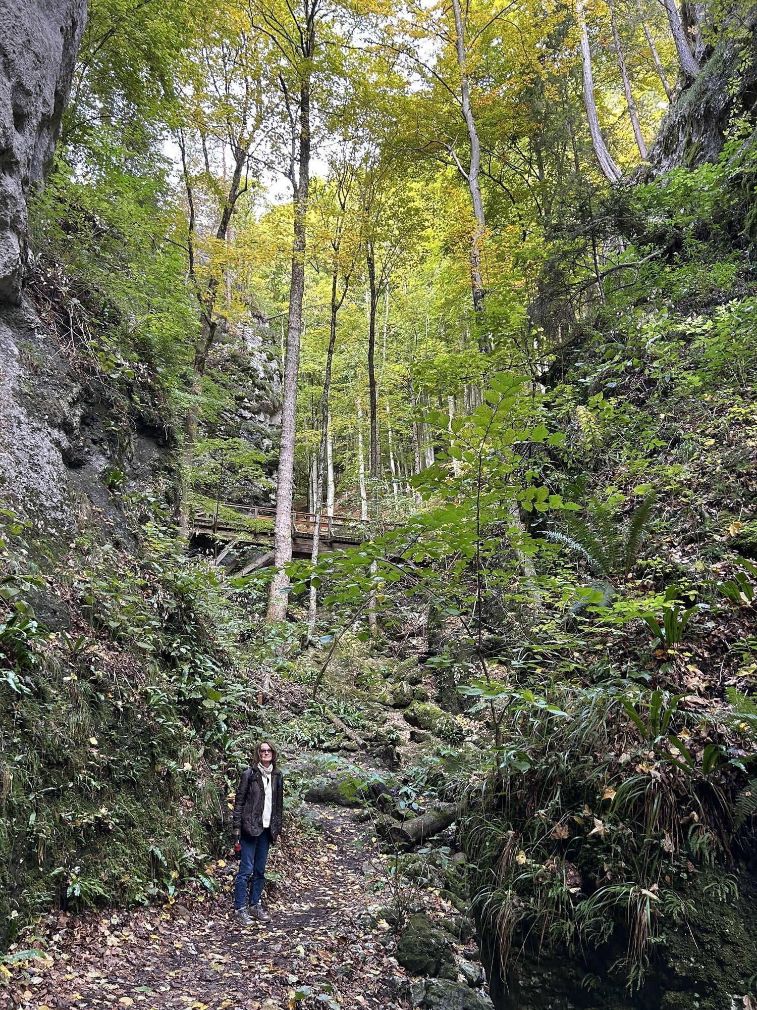
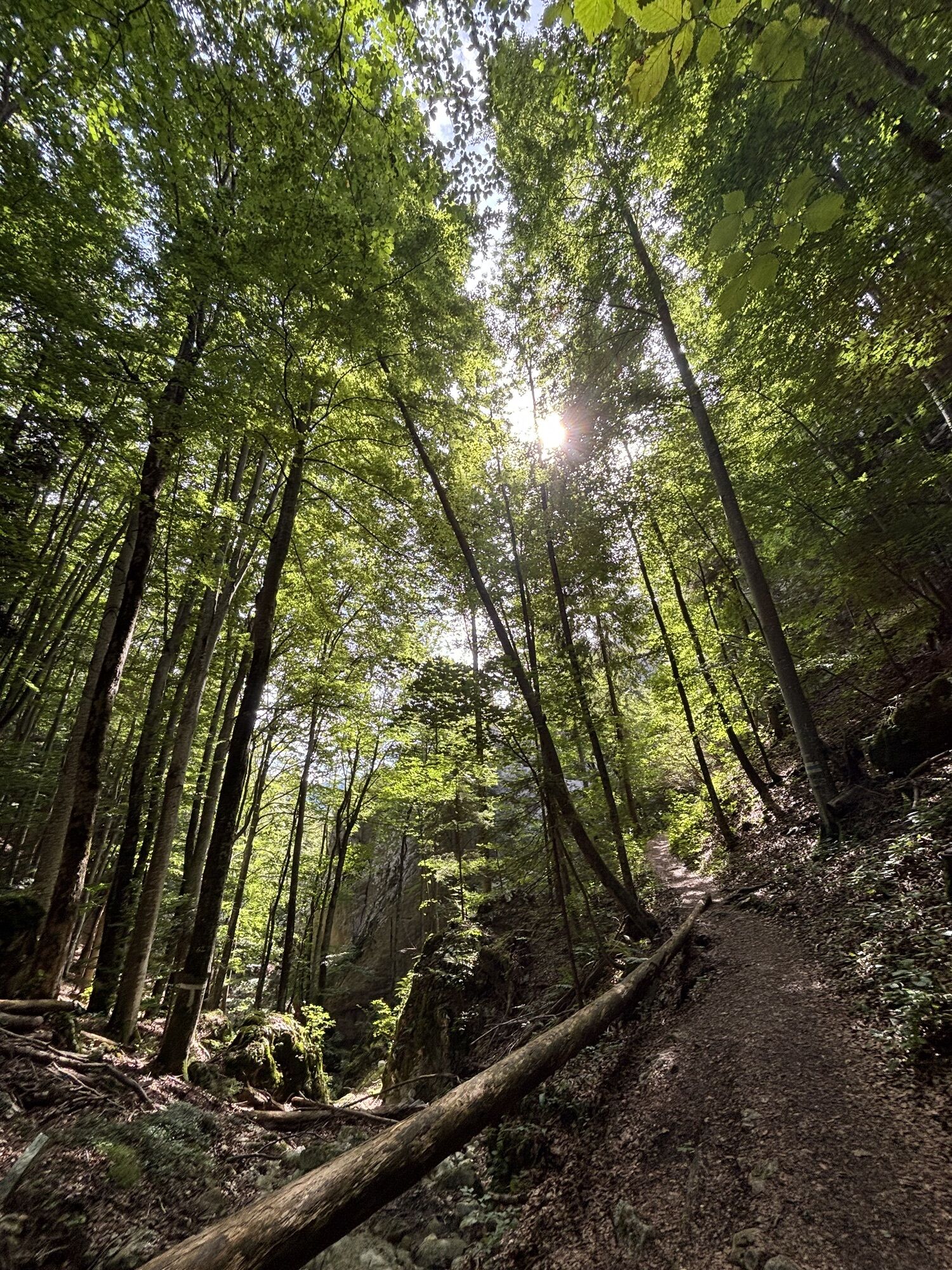
An experience for the whole family! We begin our hike at the entrance of the gorge, where we learn about the natural monument. Numerous themed panels along the way explain the formation of the gorge as well as the animal and plant life living here. We owe the Steinwandklamm to the karst region, in which the Klausbach is responsible for the erosion in the limestone. The path through the gorge is well secured with many steps and footbridges and is continuously marked in blue.
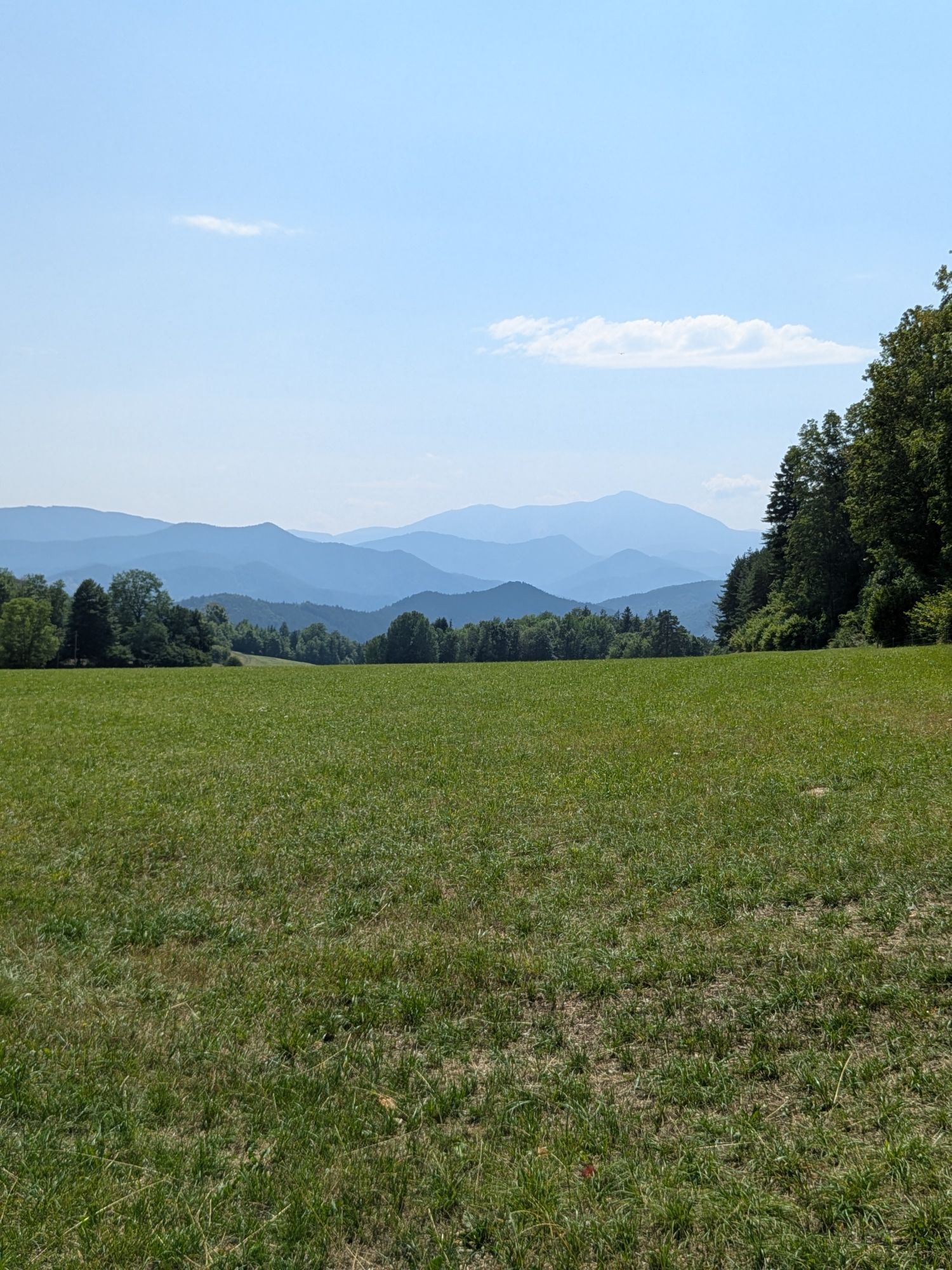
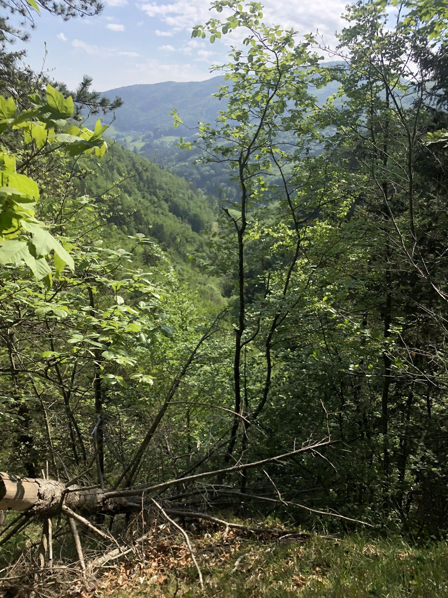
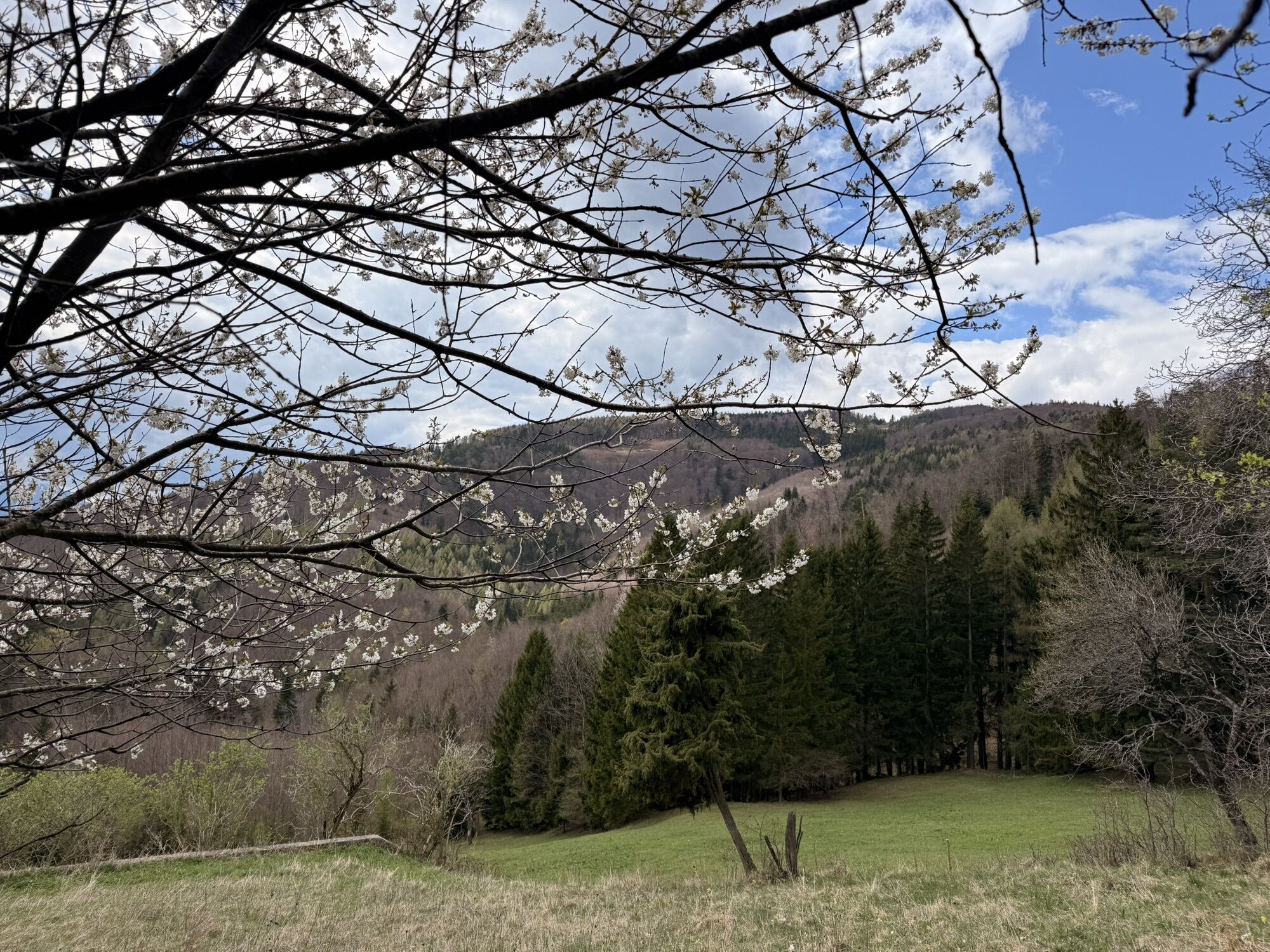
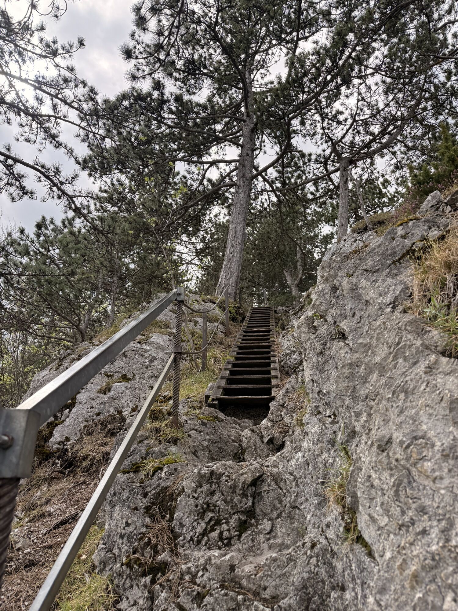
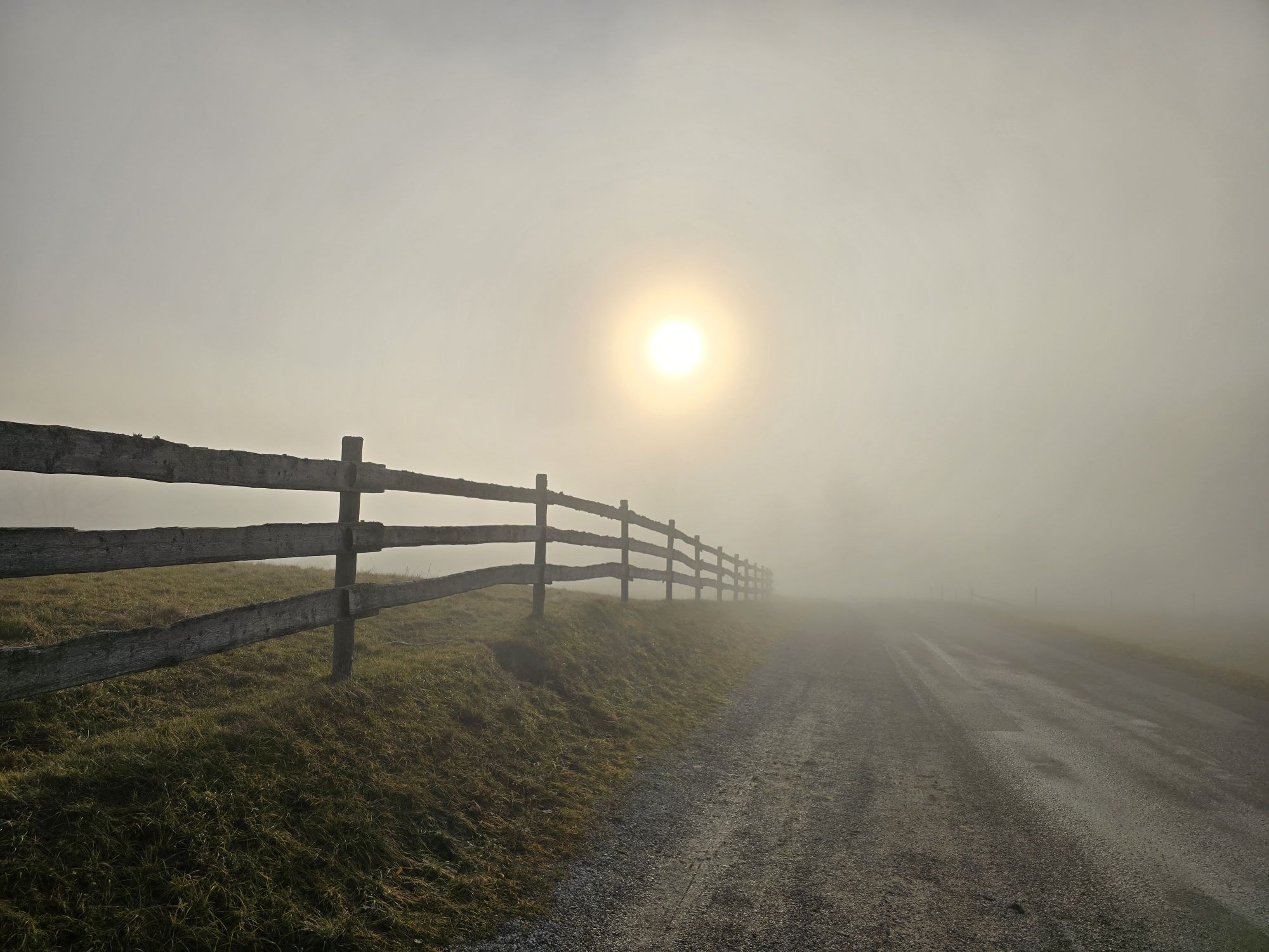
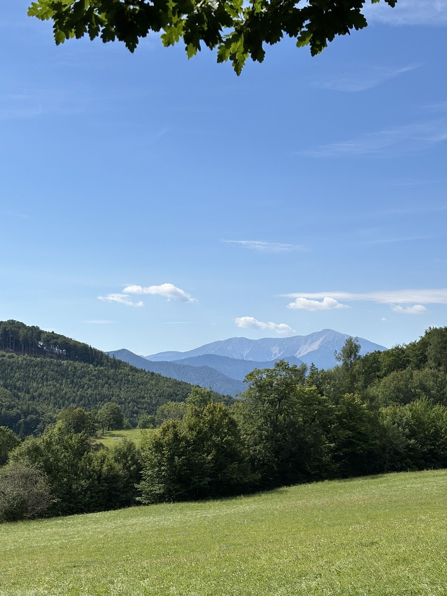
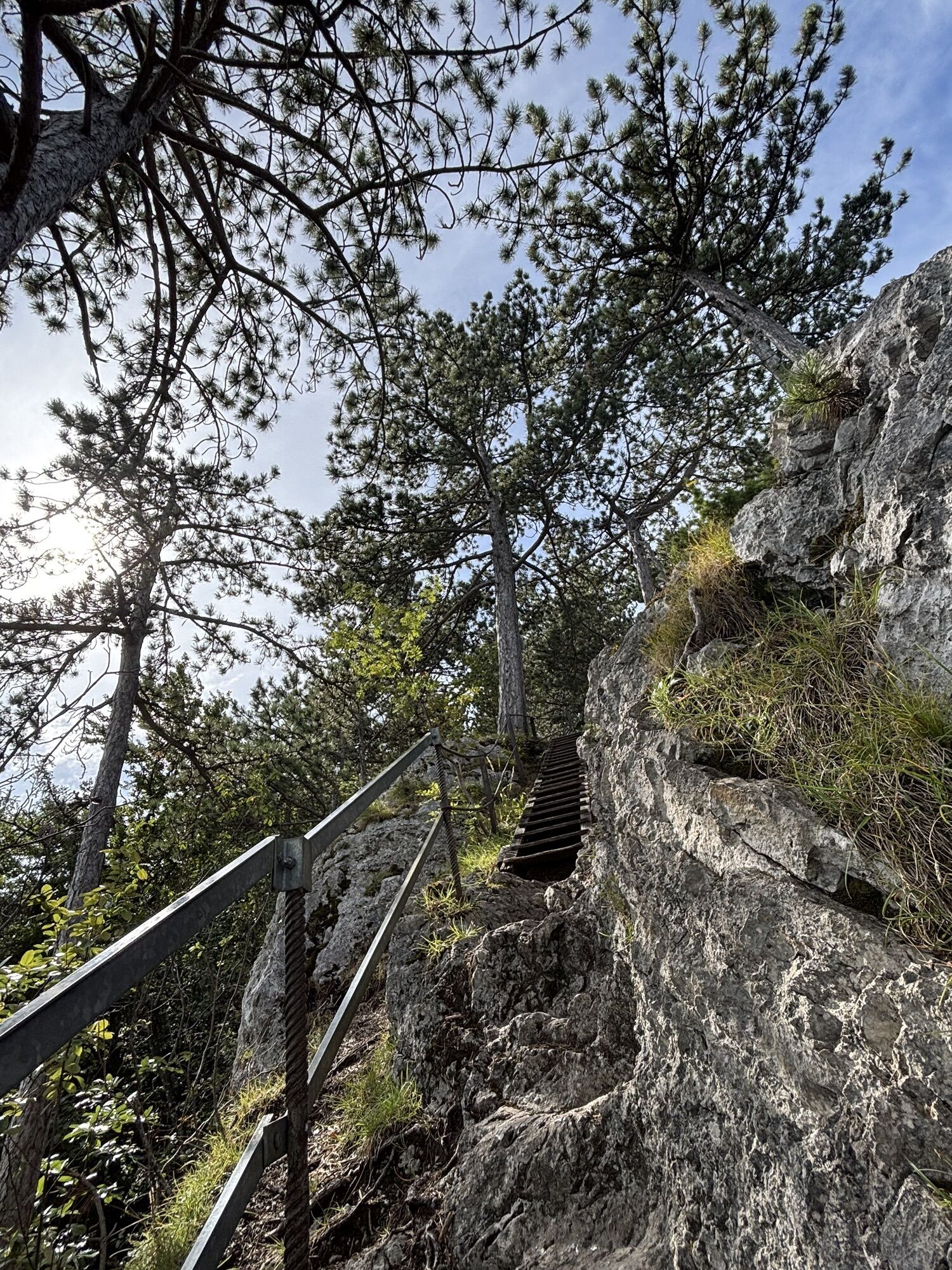
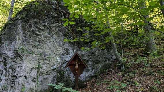
After about 20 minutes, we reach a point where we should carefully consider whether to stay on the secured path or take the Rudolf Decker Trail (red), built in 1927. This is a challenge and not for everyone. Vertical ladders lead up to the Türkenloch. Those who are not free from vertigo are advised against this climbing adventure, especially since there is also a risk of falling rocks here. We leave the climbing trail to the left and continue on the marked hiking path. Soon we reach the junction to the left, where we can safely reach the Türkenloch via a small footbridge (blue marker). However, we want to go to the Almesbrunnberg and from this junction follow the green marker. On the way, we pass the Kneipp basin – although there is no guarantee of water in a karst area. Now we are back on a forest road, and our next goal is the mountain huts – a spring protection area with a small resting place and a wonderful view. After about 1 km, we reach a forest and meadow path leading up to the Almesbrunnberg. The summit itself is rather inconspicuous and overgrown; the ascent is not easy to find. Just below the summit, however, there is a free meadow area with a beautiful view of the Schneeberg. The descent continues to be marked in green. We soon leave the forest road and turn left onto a forest path, which crosses the forest road several times until we reach the edge of the forest. From now on, only the yellow marking applies to us. After about 600 m, a rest at the Gasthof Jagasitz is on the agenda, where we can once again enjoy the view of the Schneeberg from the terrace. From here, it is about 2 km back to the starting point.
Tak
Sturdy footwear, water, rain protection
Despite the most careful research, there may be unforeseen short-, medium-, or even long-term closures on the routes (e.g., due to forestry closures by landowners). Parking options recommended by us may be private or subject to fees – please pay attention to the local signage. Some paths may partially or entirely lead through fee-required operations/areas (e.g., nature parks or gorges). This is usually explicitly pointed out in the description. All information is provided without guarantee and use of the paths is at your own risk. Any path closures and notices from hunting and landowners must be observed.
Not accessible by public transport
Jausenstation Reischer (GPS: Steinwandgraben 22, 2564)
Wienerwald Tourismus GmbH
Hauptplatz 11, 3002 Purkersdorf
Tel.: 02231/62176
E-Mail: office@wienerwald.info
Website: www.wienerwald.info
Updated on: 18.11.2020



Aktywności na trasie
-

Furth an der Triesting, Niederösterreich/Österreich
08.08.2026 – Wędrówka -

Furth an der Triesting, Niederösterreich/Österreich
08.08.2026 – Wędrówka -
Muggendorf, Niederösterreich/Österreich
18.07.2026 – Wędrówka -
Muggendorf, Niederösterreich/Österreich
12.07.2026 – Wędrówka -

Muggendorf, Niederösterreich/Österreich
12.07.2026 – Wycieczki górskie -

Muggendorf, Niederösterreich/Österreich
07.06.2026 – Wędrówka -

Furth an der Triesting, Niederösterreich/Österreich
09.05.2026 – Wędrówka -

Furth an der Triesting, Niederösterreich/Österreich
15.03.2026 – Wędrówka -

Almesbrunnberg, Niederösterreich/Österreich
01.03.2026 – Wędrówka -

Furth an der Triesting, Niederösterreich/Österreich
21.09.2025 – Wędrówka -

Furth an der Triesting, Niederösterreich/Österreich
13.08.2025 – Wędrówka -

Steinwandklamm
20.10.2024 – Wędrówka -

Rudolf Decker Steig
22.09.2024 – Wędrówka
Popularne wycieczki w okolicy
-
4,5
Erlebnisweg Peilstein...auf den Spuren der Kletterer
średniTrasa tematyczna 6 km -
4,8
ÖTK Klettersteig (vormals HTL Klettersteig) und Blutspur (D/E)
ciężkiVia ferrata 1,41 km -
4,8
Schober- Öhler
średniWędrówka 12,2 km -
4,8
Hohe Wand: Babygrat (1+), Rundwanderung und Wagnersteig (A)
ciężkiWędrówka 11,8 km -
4,7
Hohe Wand: Grafenbergweg - Große Kanzel - Rastkreuz - Gländ
średniWędrówka 9,03 km -
4,6
Kieneck über Enziansteig & Mareschsteig
światłoWędrówka 13,8 km -
4,6
Wienerwald: Maria Raisenmarkt - Peilstein
światłoWędrówka zimą 6,82 km -
4,6
Grünbach - Eselsteig - Geländ
światłoWędrówka 5,22 km -
4,6
Panorama hike Hafnerberg
światłoWędrówka 8,78 km -
4,5
Kieneck über den Enziansteig
światłoWędrówka 12,6 km
Wędrówki i tropienie


Nie przegap ofert i inspiracji na następne wakacje
Twój adres e-mail została dodana do listy mailingowej.





