Nawigacja
Pobierz tę trasę na swój telefon komórkowy
Mapa
Zizur Mayor. Water Route

ciężki
Droga rowerowa
103,74 km
Zeskanuj kod QR i rozpocznij nawigację w aplikacji bergfex.
QR Code
Wędrówki i tropienie

Zizur Mayor. Water Route

Odległość
103,7 km
Czas trwania
06:10 h
Ascent
2 014 hm
Poziom morza
364 - 921 m

Poziom trudności: 6

Ścieżka do pobrania
Mapa
Zizur Mayor. Water Route
ciężki
Droga rowerowa
103,74 km

Starting from Zizur Mayor, we follow the river Arga after its passage through Pamplona before facing the first mountainous difficulty, the Etxauri pass, 6.6 km long and 6.5% average gradient. Once we reach...

Opis

Starting from Zizur Mayor, we follow the river Arga after its passage through Pamplona before facing the first mountainous difficulty, the Etxauri pass, 6.6 km long and 6.5% average gradient. Once we reach the top we head towards the valley of Goñi, where another beautiful pass of 10 km and a gradient of around 4% awaits us. We are in the area of the Arteta and Riezu springs and we continue towards the Alloz reservoir, to go around it through the roads full of small steep slopes that lead us to the Guirguillano pass, the easiest of all. From there we start the last descent towards Belascoáin and, crossing the bridge of this town, we head towards Arraiza, Paternáin and, finally, Zizur Mayor.

Trasa
Trasa
Mapa
Zizur Mayor. Water Route
ciężki
Droga rowerowa
103,74 km
Zizur Mayor / Zizur Nagusia
(467 m)
Miasto
0,0 km
Barañain
(433 m)
Miasto
0,0 km
Ardoi
(466 m)
Korytarz/teren
0,5 km
Gazólaz
(455 m)
Wioska
1,8 km
Paternáin
(439 m)
Rozliczenie
3,8 km
Patio del Pollero
(439 m)
Restauracja
3,8 km
Larraya
(411 m)
Rozliczenie
5,6 km
Sarbil
(402 m)
Restauracja
8,0 km
Etxauri
(413 m)
Wioska
8,7 km
Santa Eulalia
(412 m)
Miejsce kultu
9,2 km
Lurburu
(782 m)
Korytarz/teren
19,2 km
Azanza
(836 m)
Rozliczenie
22,7 km
Ollo
(506 m)
Wioska
32,5 km
Arteta
(502 m)
Rozliczenie
33,3 km
Aldapa
(687 m)
Korytarz/teren
37,1 km
Galtzinalabe
(712 m)
Korytarz/teren
37,8 km
Goñi
(878 m)
Rozliczenie
41,5 km
Aizpun
(774 m)
Wioska
45,6 km
Amigol
(798 m)
Korytarz/teren
47,3 km
Urdánoz
(809 m)
Rozliczenie
47,7 km
Malbarrio
(860 m)
Korytarz/teren
48,9 km
Munárriz
(906 m)
Rozliczenie
50,0 km
Genbeko gaina
(919 m)
Korytarz/teren
51,5 km
Genbe
(919 m)
Siodełko górskie
51,5 km
Guembe
(582 m)
Rozliczenie
57,2 km
Vidaurre
(607 m)
Rozliczenie
57,8 km
Mipidia
(542 m)
Korytarz/teren
61,5 km
Riezu / Errezu
(491 m)
Rozliczenie
62,5 km
Cerveceria Txiritinga
(493 m)
Restauracja
62,8 km
Muez / Muetz
(527 m)
Wioska
65,6 km
Zaborregi
(505 m)
Korytarz/teren
68,9 km
Esténoz / Estenotz
(526 m)
Rozliczenie
70,0 km
El Alto
(527 m)
Korytarz/teren
70,1 km
Muzqui / Muzki
(570 m)
Rozliczenie
72,0 km
Kopotegi
(593 m)
Korytarz/teren
72,7 km
Guirguillano / Girgillao
(627 m)
Rozliczenie
77,3 km
Orendain
(489 m)
Rozliczenie
80,5 km
Zabala
(398 m)
Rozliczenie
82,3 km
Belascoáin / Beraskoain
(423 m)
Wioska
89,9 km
Arraiza / Arraitza
(501 m)
Wioska
93,0 km
Ubani
(458 m)
Rozliczenie
95,3 km
Larraya
(411 m)
Rozliczenie
97,6 km
Paternáin
(439 m)
Rozliczenie
99,3 km
Patio del Pollero
(439 m)
Restauracja
99,3 km
Gazólaz
(455 m)
Wioska
101,2 km
Ardoi
(466 m)
Korytarz/teren
103,1 km
Barañain
(433 m)
Miasto
103,6 km
Zizur Mayor / Zizur Nagusia
(467 m)
Miasto
103,7 km
Informacje o wycieczce

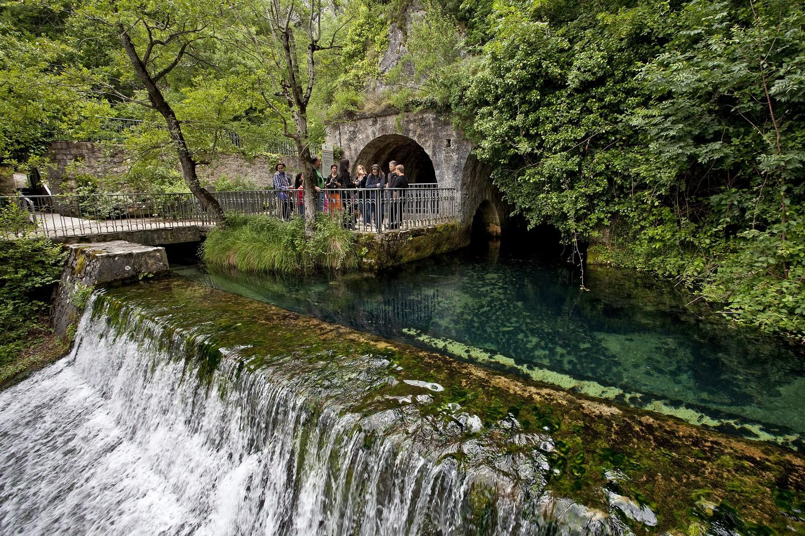
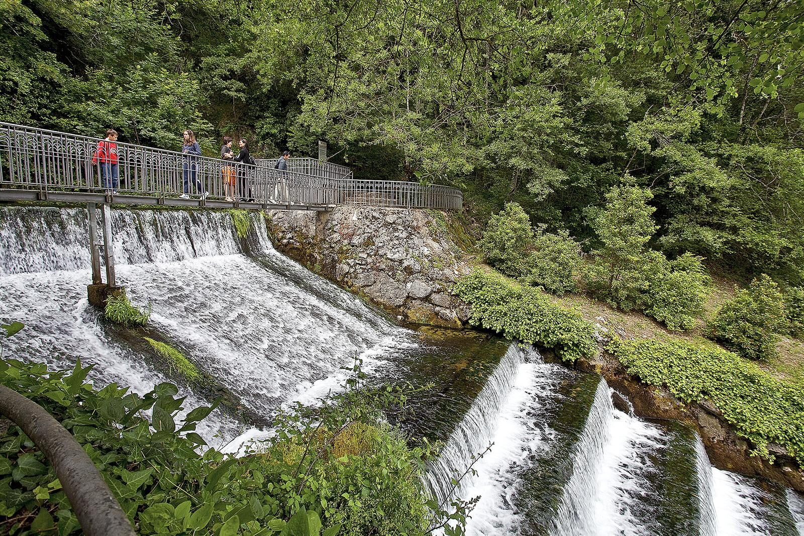
Riverbeds, springs and reservoirs. The Pamplona region offers the possibility of exploring these resources on the water route, one of the most outstanding areas of Navarre's cycling tourism, with passes and roads that have been the scene of countless sporting battles and hours of training.

Technologia
6 / 6
Stan
6 / 6
Krajobraz
6 / 6
Doświadczenie
6 / 6
Autor
Dostarczone przez Visit Navarra
Logo
Udostępnij trasę
Mapa
Zizur Mayor. Water Route
ciężki
Droga rowerowa
103,74 km
Błąd
Wystąpił błąd. Spróbuj ponownie.
Sprzęt

8 essential accessories for any bicycle route:

Helmet Gloves Air pump Multi-irrigation Spare inner tube Multitool Detachable Odometer Water bottle and something to eat
Dodatkowe informacje i wskazówki
Poziom trudności

6

Wędrówki i tropienie

Wędrówki i tropienie

Wędrówki i tropienie
Ponad 550.000 propozycji wycieczek, szczegółowe mapy i intuicyjny planer tras sprawiają, że aplikacja jest niezbędna dla wszystkich entuzjastów przyrody.
bergfex