




Battle of Valdejunquera

Poziom trudności: T2
On July 4, 920, the Emir of Córdoba, Abd al Rahman III, after assembling a powerful army, ordered his generals to depart towards the upper border or march frontier. This aceifa (military campaign), known...
On July 4, 920, the Emir of Córdoba, Abd al Rahman III, after assembling a powerful army, ordered his generals to depart towards the upper border or march frontier. This aceifa (military campaign), known as jihad or holy war, aimed to punish the kings Sancho Garcés I of Pamplona and Ordoño II of León, who had attacked Córdoba's domains.
The Umayyad army was formed by warriors of different origins: Berbers, Arabs, Syrians, mercenaries, and Slavs. The latter formed part of the emir's personal guard.
After a long journey, they reached Tudela, where the Banu Qasi contingent from the city joined them. From there, they headed to Calahorra and almost immediately crossed the Ebro River seeking the route of the Ega river valley northward.
On the 25th, the first combat took place at Di-Zarra (Lizarra), possibly to capture the Umayyad leader’s attention and lure his army to the desired meeting point: the Valley of Guesaláz.
The long Muslim column followed the route from Villatuerta, Arándigo, and Ugar, reaching near Muez after crossing the Ubagua river. It was at this point where the combat between the two armies occurred, ending fatally for the Vascon and Astur-Leonese troops.
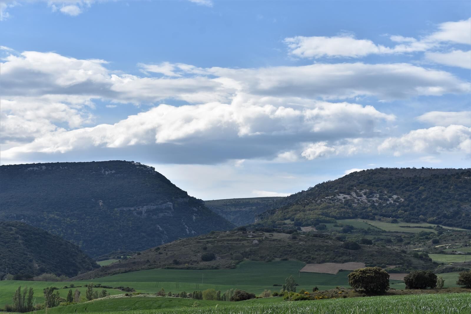
From the Monte Irujo viewpoint, one can enjoy a beautiful panoramic view of the three canyons visible—Ubagua, Obantzia, and Erragoz—and the different villages in the Valley of Guesalaz.
In Muez, visitors can admire the medieval church, the parish of Santa Eulalia, dating back to the early 13th century, although only part of the choir section, which is offset compared to the rest of the nave built in the mid-16th century, remains preserved.
Notable on the facade, set into its walls, is a Roman tombstone from the 1st century BC. Also prominent, adjacent to the church, is the so-called Casa del Conde, with two towers still discernible, transformed into new homes, which once served as the village's entrance.


Circular route (in the shape of an 8), running through parcel roads. Starts at the Valle de Guesalaz Sports Center in Muez.
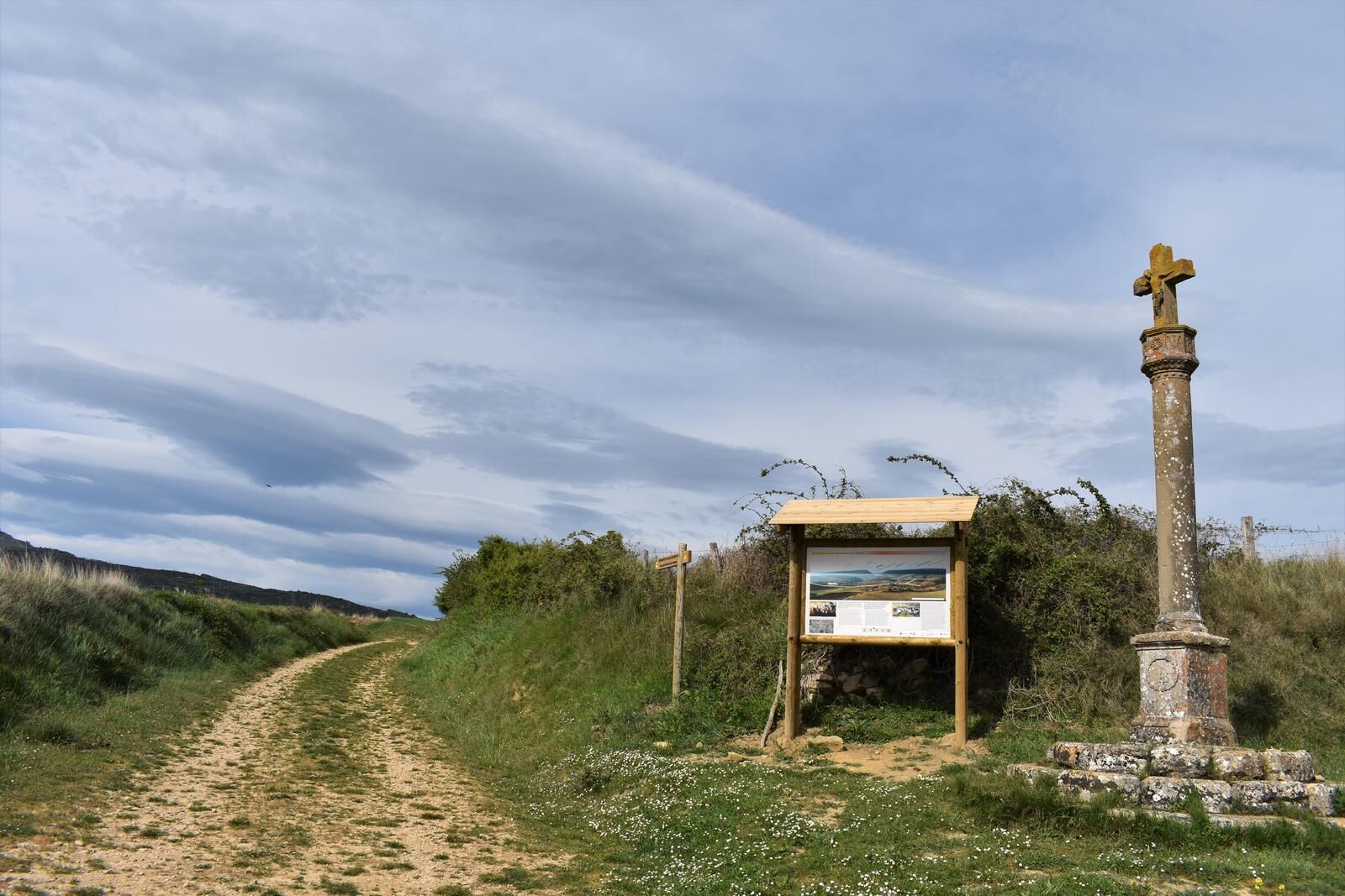
Leaving the sports center, the first path goes to the left, parallel to the sports center. It reaches a crossing and turns right, along a parcel road. Continuing, it arrives at a junction where it follows the left path, where there is a medieval stone cross.
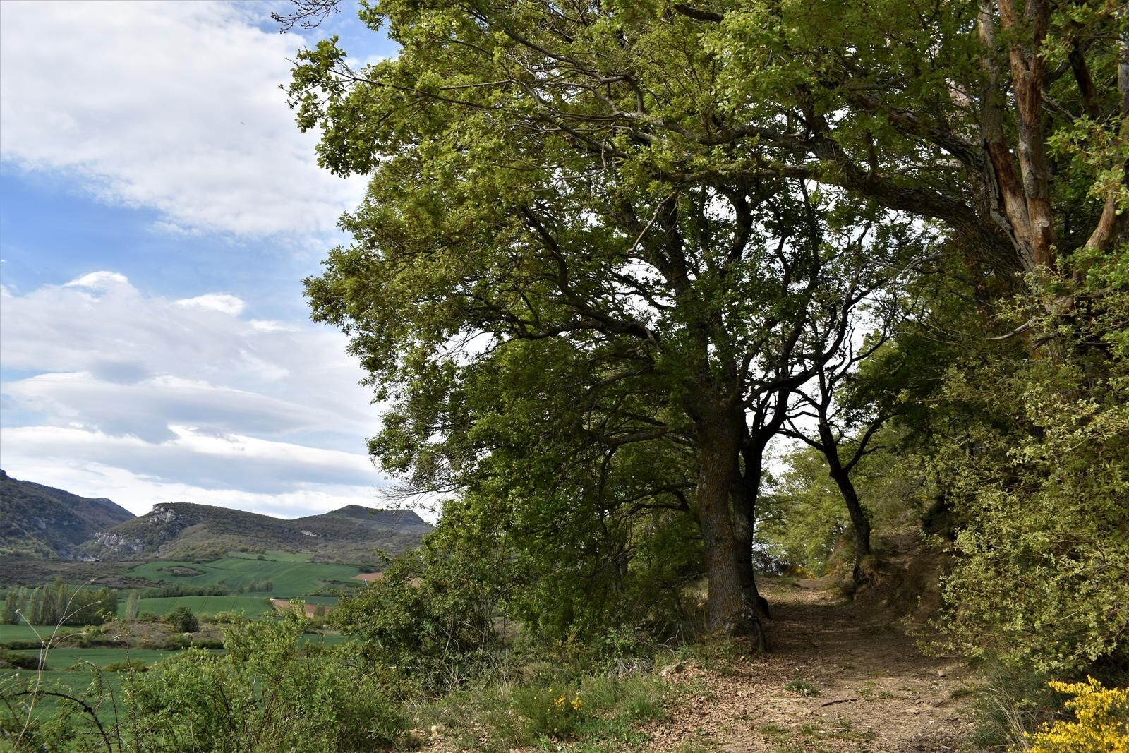
At this point, there is an explanatory panel about the development of the Battle of Valdejunquera, as well as a panoramic panel. It continues straight, ascending gently, crossing an oak grove, reaching a crossroads, and turning right.
It passes by a pond, and on the left, there is a panoramic panel showing various mountains and explaining how the Christian armies moved during their retreat. At this point, it turns right to visit Monte Irujo, equipped with a panoramic panel of the 3 visible canyons, Ubagua, Obantzia, and Erragoz, and the different villages of the Valley of Guesalaz.
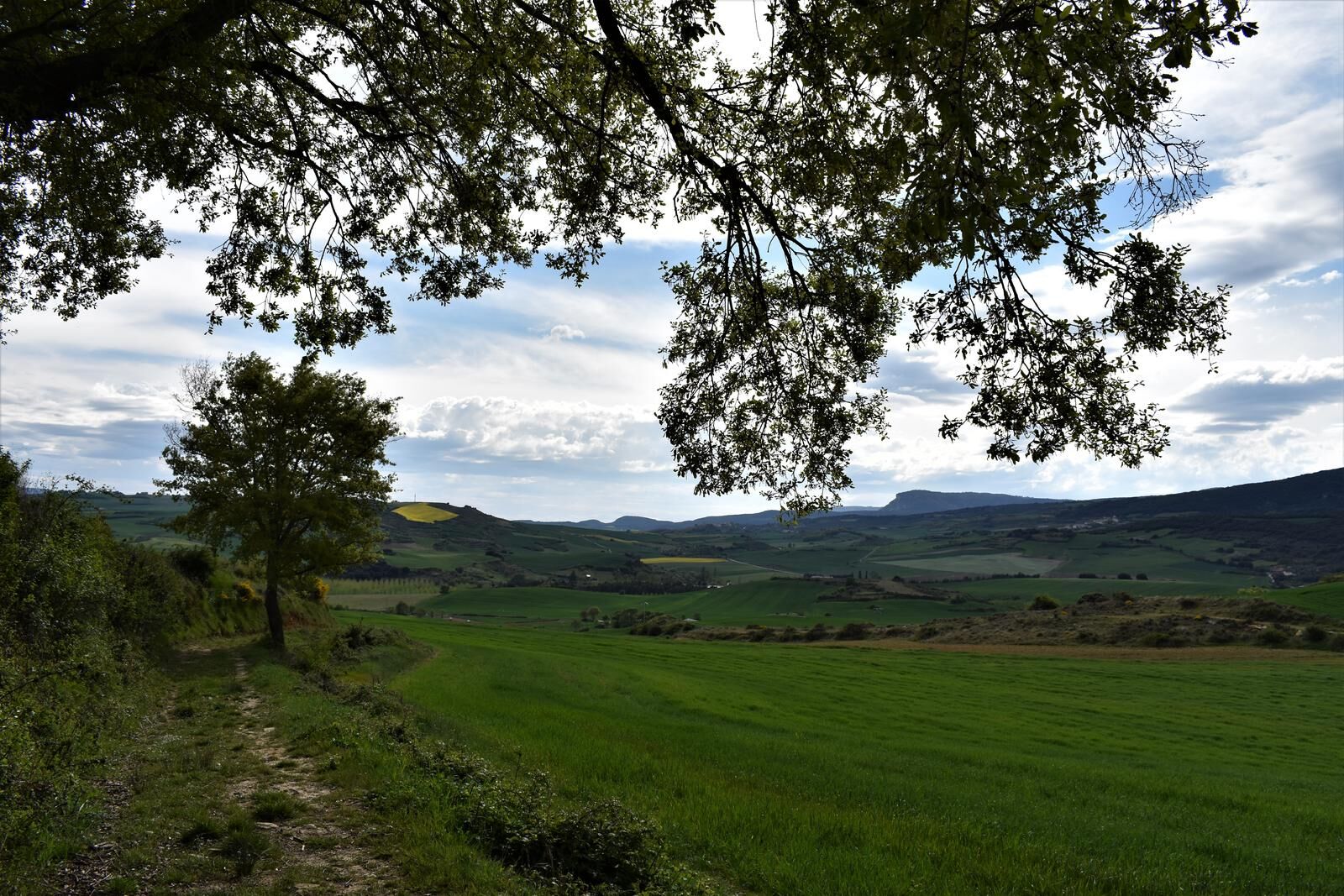
Returns to the previous detour and continues straight until reaching a crossroads, where it turns right, with views of the Alloz reservoir and other villages in the Valley of Guesalaz.
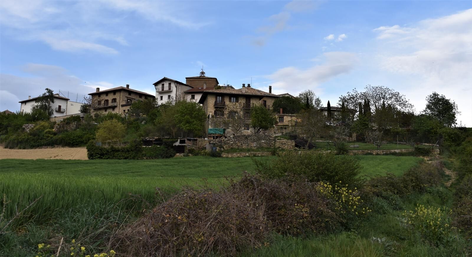
Following this path, the route encounters the stone cross again. It continues straight, crossing the parcel road until reaching the village of Muez, which it crosses, and after passing the church, it turns right along a street until diverting along a path to the right that, between fields, leads back to the Muez sports center.
Mountain shoes or boots.
Water and food.
Navigation tools.
Mobile phone.
Backpack.
Multitool or knife (recommended)
Clothing suitable for the weather.
First aid kit.
Marked as a local trail in yellow, with numbered directional posts (indicating direction and remaining distance of the trail) at crossings and detours, and wooden marked milestones. Informative panel at the start and several thematic panels along the route.
T2
More information at: www.tierrasdeiranzu.com
Popularne wycieczki w okolicy
Tour of Alloz by MTB - Kemping Aritzaleku Trasa 7
ciężkiMountainbike 33,2 kmLizarraga i Urbasa - Camping Arbizu Trasa 2
ciężkiDroga rowerowa 87,4 kmGóra Beriain i Lizarraga - Camping Arbizu Trasa 9
ciężkiMountainbike 44,0 km- 4,3
Estella-Lizarra - Iglesia Evangélica Pentecostal Nuevo Remanente - Villatuerta - Parroquia de Santiago
ciężkiTrasa pielgrzymki 23,2 km Larraiza, Rulez, Belastegi i Eraul - Camping Artaza Route 9
ciężkiMountainbike 46,7 kmDolina Ollo i San Miguel de Aralar - Kemping Aralar Trasa 3
ciężkiDroga rowerowa 112,9 kmUbagua river canyon
średniWędrówka 5,73 kmWokół Etxauri - Kemping Aritzaleku Trasa 3
ciężkiDroga rowerowa 103,0 kmTrasa Carlism - Kemping Aritzaleku Trasa 8
ciężkiMountainbike 46,5 kmWycieczka po Sierra de Andía - Kemping Arbizu Trasa 3
ciężkiDroga rowerowa 104,0 km
Wędrówki i tropienie


Nie przegap ofert i inspiracji na następne wakacje
Twój adres e-mail została dodana do listy mailingowej.





