


Trail no. 35: Passo del Bocco - Colla Craiolo
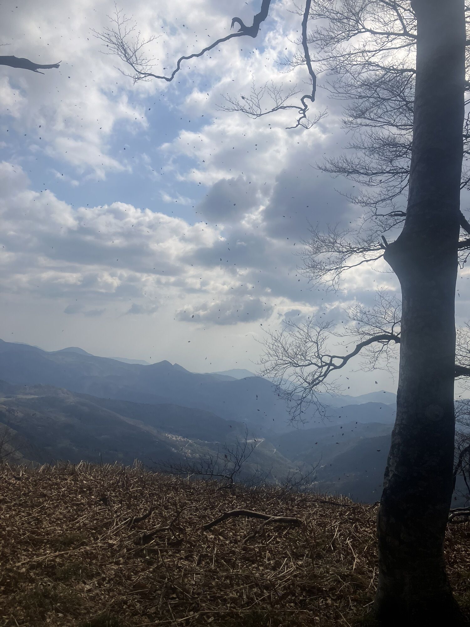
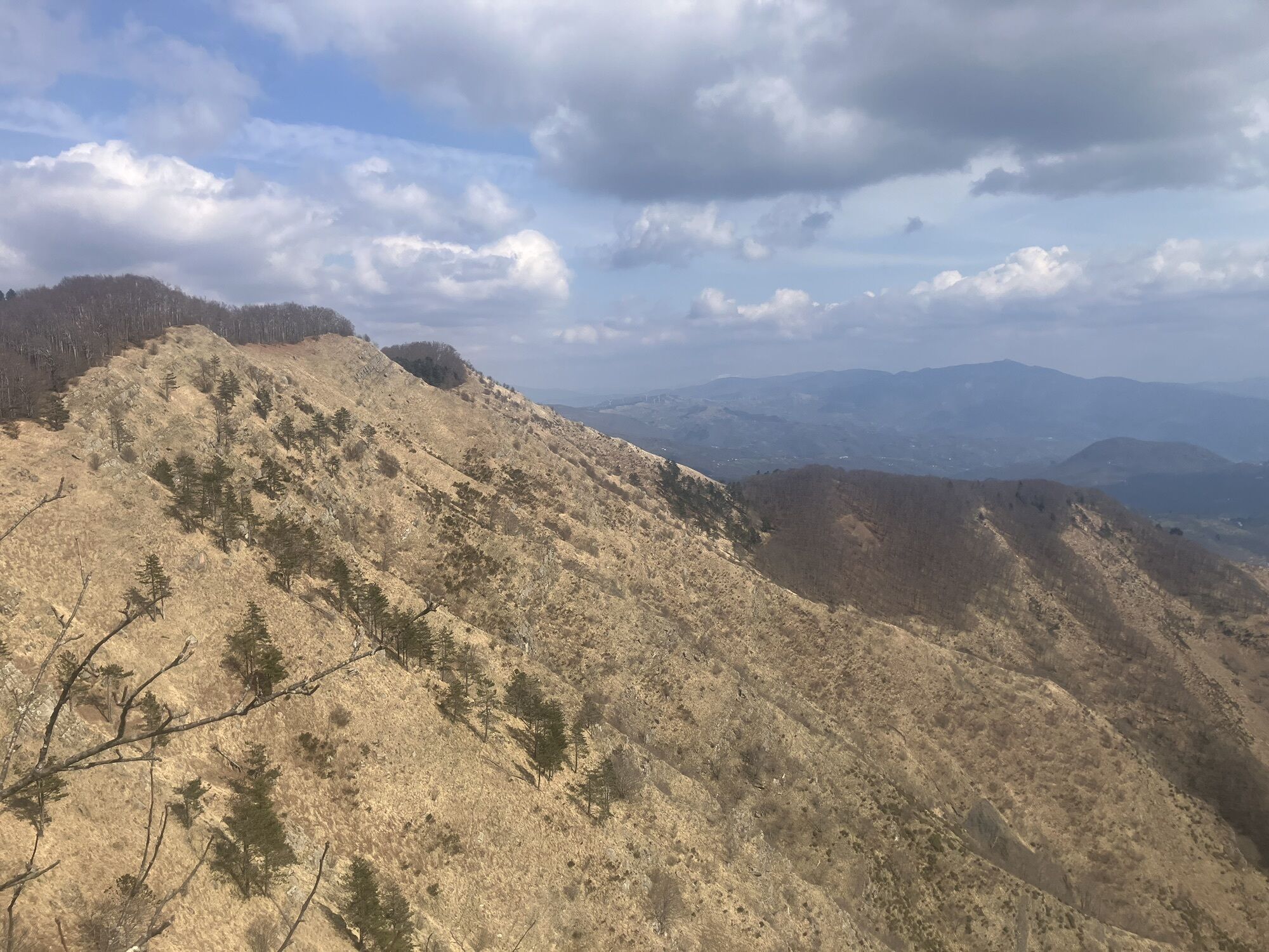
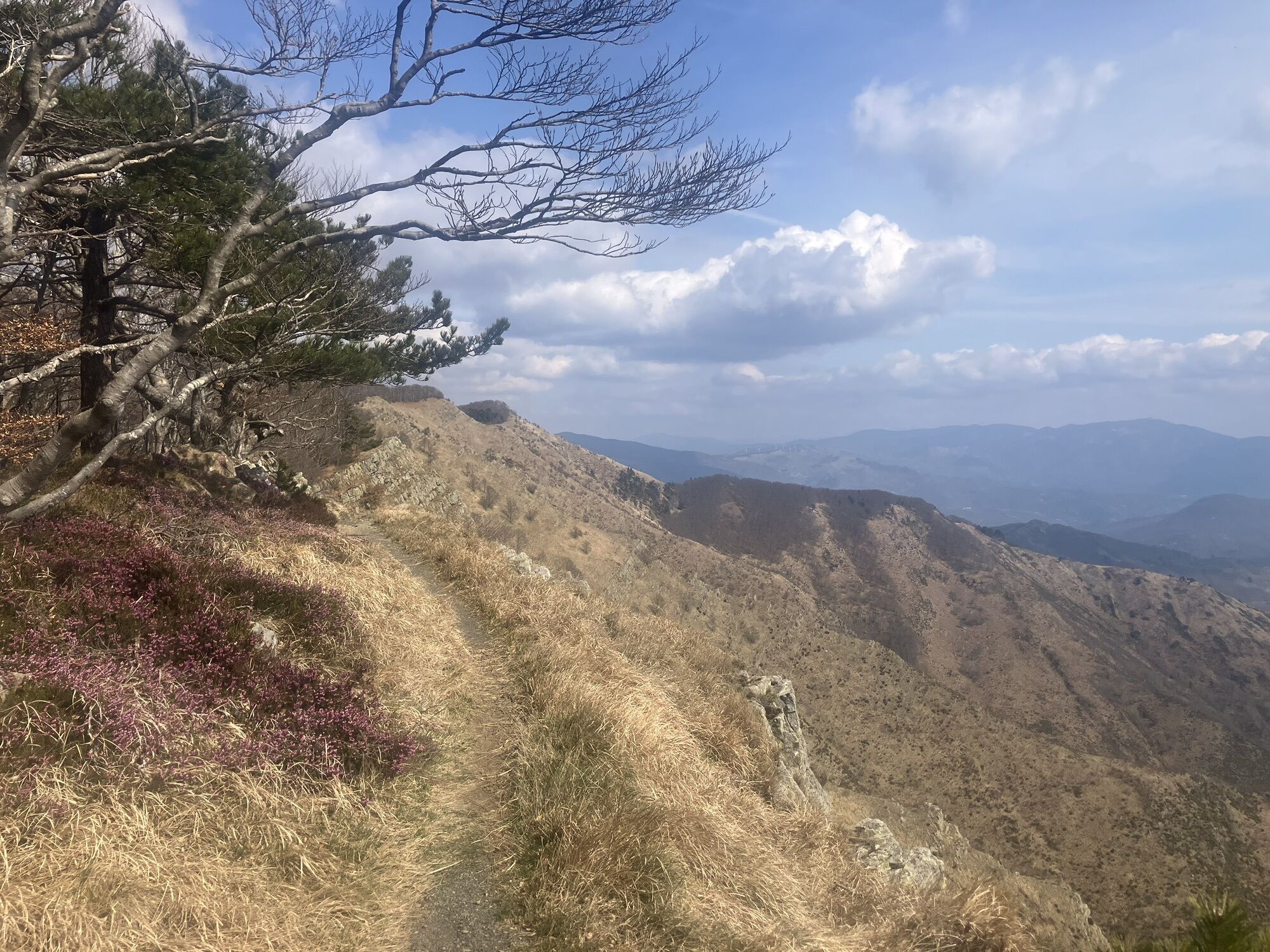
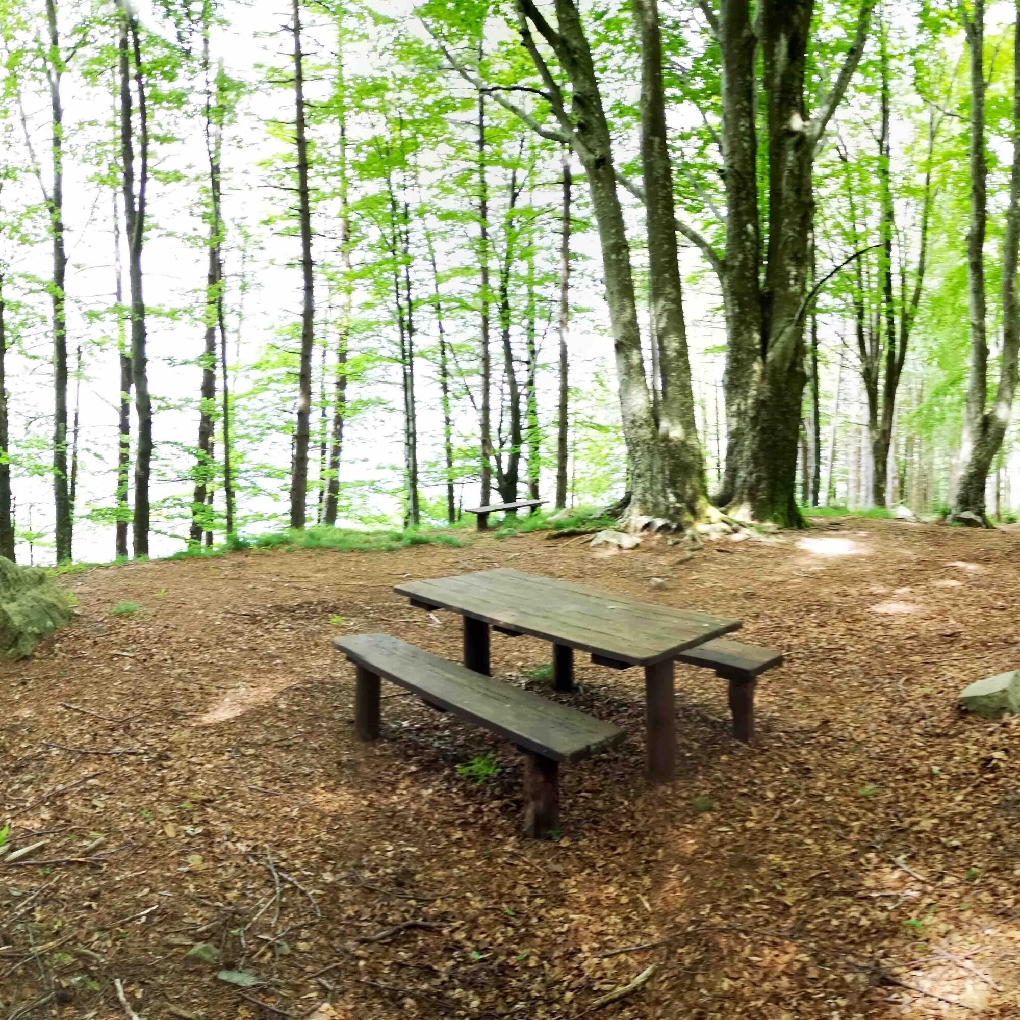
Here, you cross Monte Zatta (1404 m), a gigantic sandstone bastion which is part of the Aveto regional park. It’s quite a fascinating trail, where you walk through the splendid beech wood covering the...
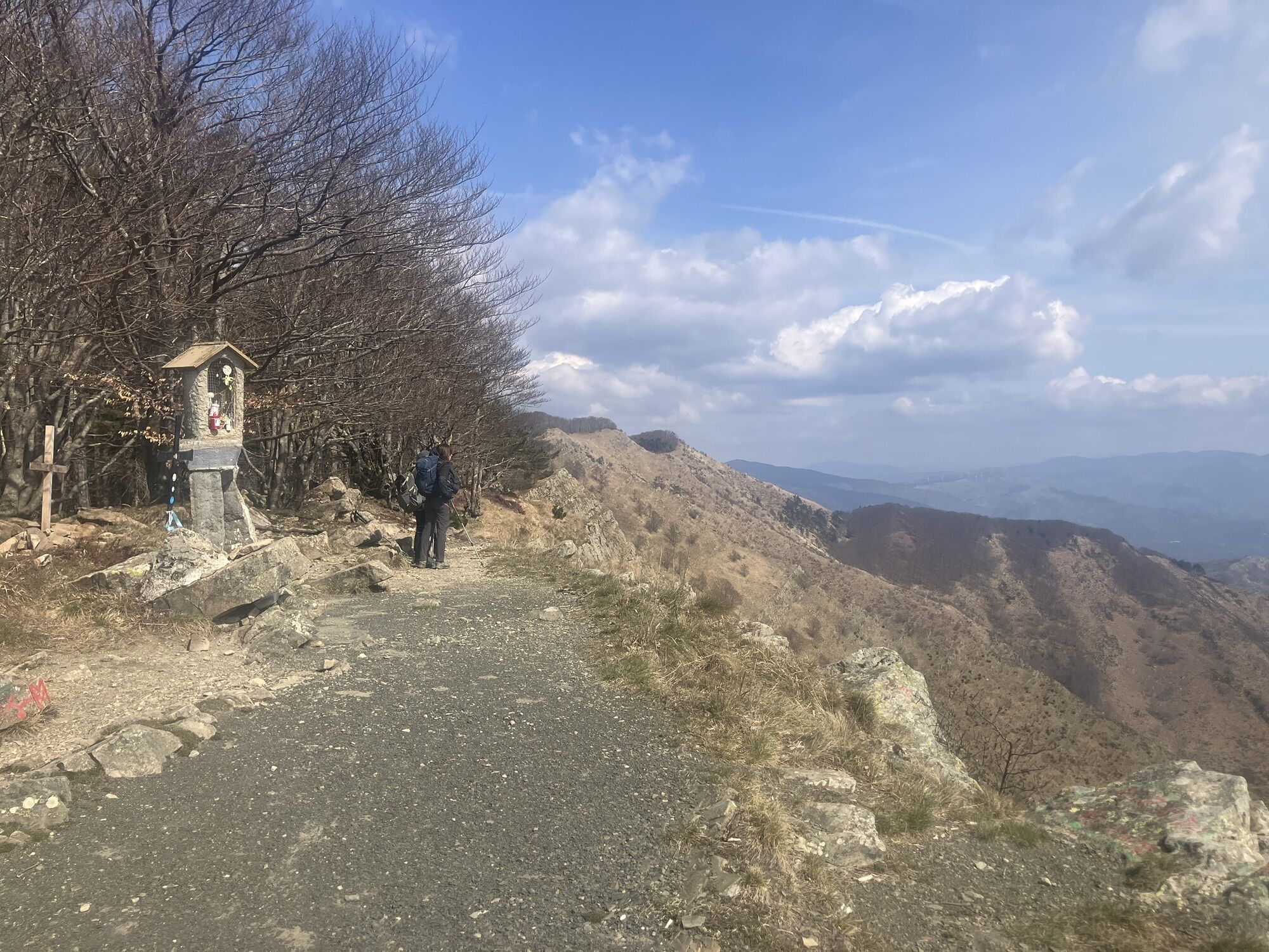
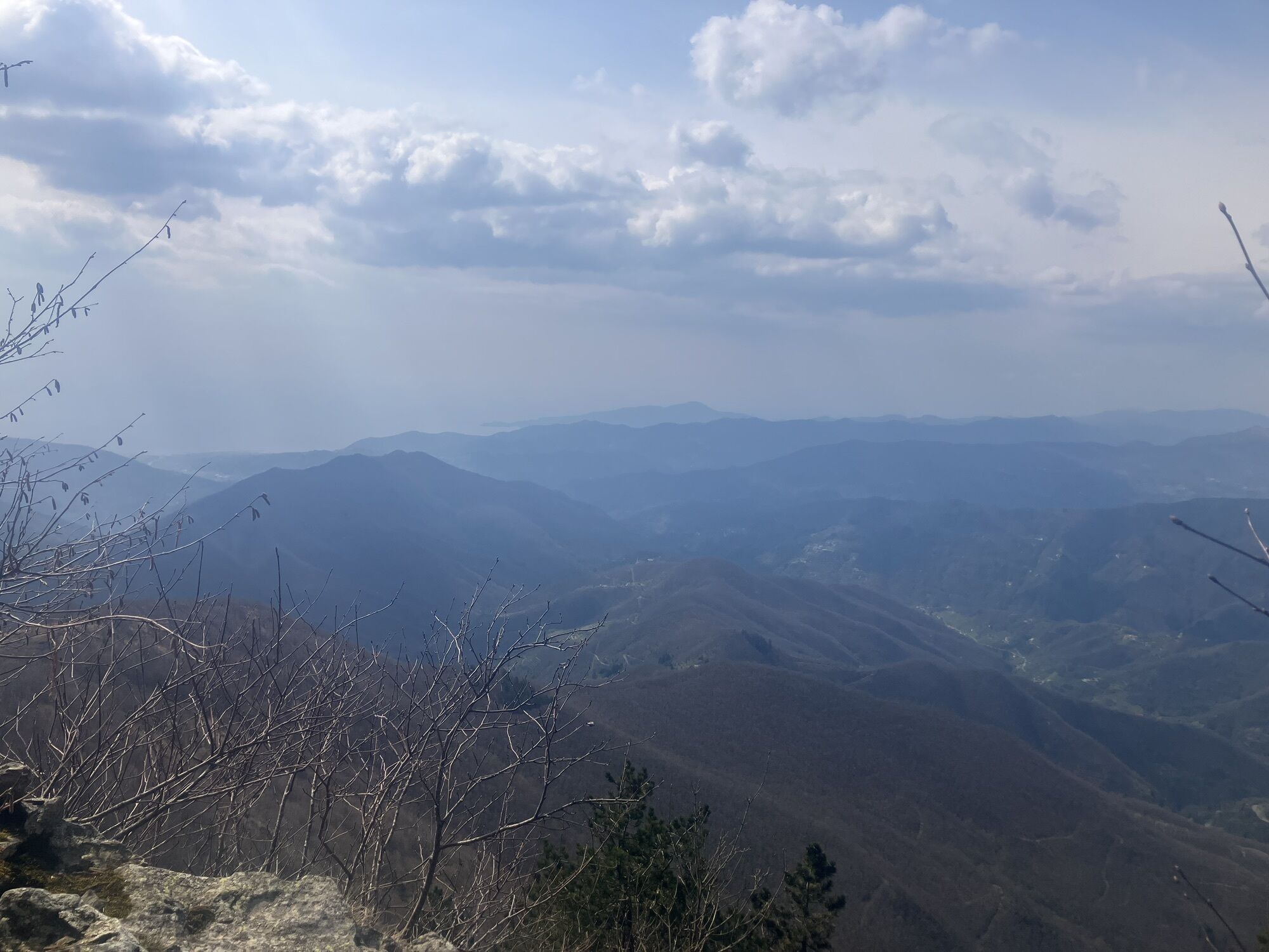
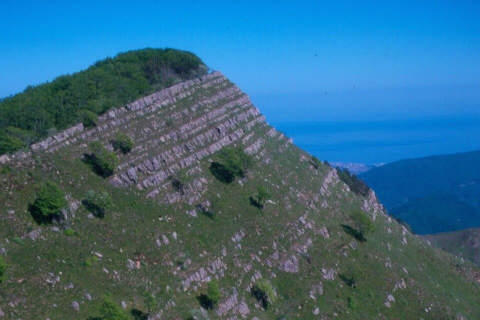
Here, you cross Monte Zatta (1404 m), a gigantic sandstone bastion which is part of the Aveto regional park. It’s quite a fascinating trail, where you walk through the splendid beech wood covering the Northern slopes of the mountain. On the Southern face, you overlook the sea in the far off distance and a steep drop below.

Mountain equipment is recommended.
Route not recommended in winter case of snow and ice, unless properly equipped and capable.
It is recommended to check the condition of the track and the opening of the accommodation and catering facilities.
Popularne wycieczki w okolicy
- 5,0
GE_04 Ride to Bargone ring
Wędrówka 9,84 km - 5,0
Trail no. 34: Passo della Spingarda - Passo del Bocco
Wędrówka 12,3 km GE_03 Ring path of Zatta Mount
Wędrówka 14,4 kmGE_01 Sanctuary of Velva - Monte Alpe di Maissana
ciężkiWędrówka 14,4 kmSP_16 La Valle Lagorara
Wędrówka 11,9 kmSP_09 Anello di Varese Ligure
Wędrówka 23,1 kmGE_12 Ring path Mount Ramaceto
Wędrówka 10,6 kmTrail no. 31: Passo di Ventarola - Passo della Forcella
Wędrówka 9,06 kmTrail no. 37: Passo di Cento Croci - Passo della Cappelletta
Wędrówka 5,02 kmTrail no. 33: Passo delle Lame - Passo della Spingarda
Wędrówka 6,76 km
Wędrówki i tropienie


Nie przegap ofert i inspiracji na następne wakacje
Twój adres e-mail została dodana do listy mailingowej.