






GE_03 Ring path of Zatta Mount

The footpath going up is marked with two red lines; From the road, close to the church of Reppia (546 m), folllow down a mule track to Reppia stream (500 m). Then go up, meet Case Visagna (703 m) and follow...
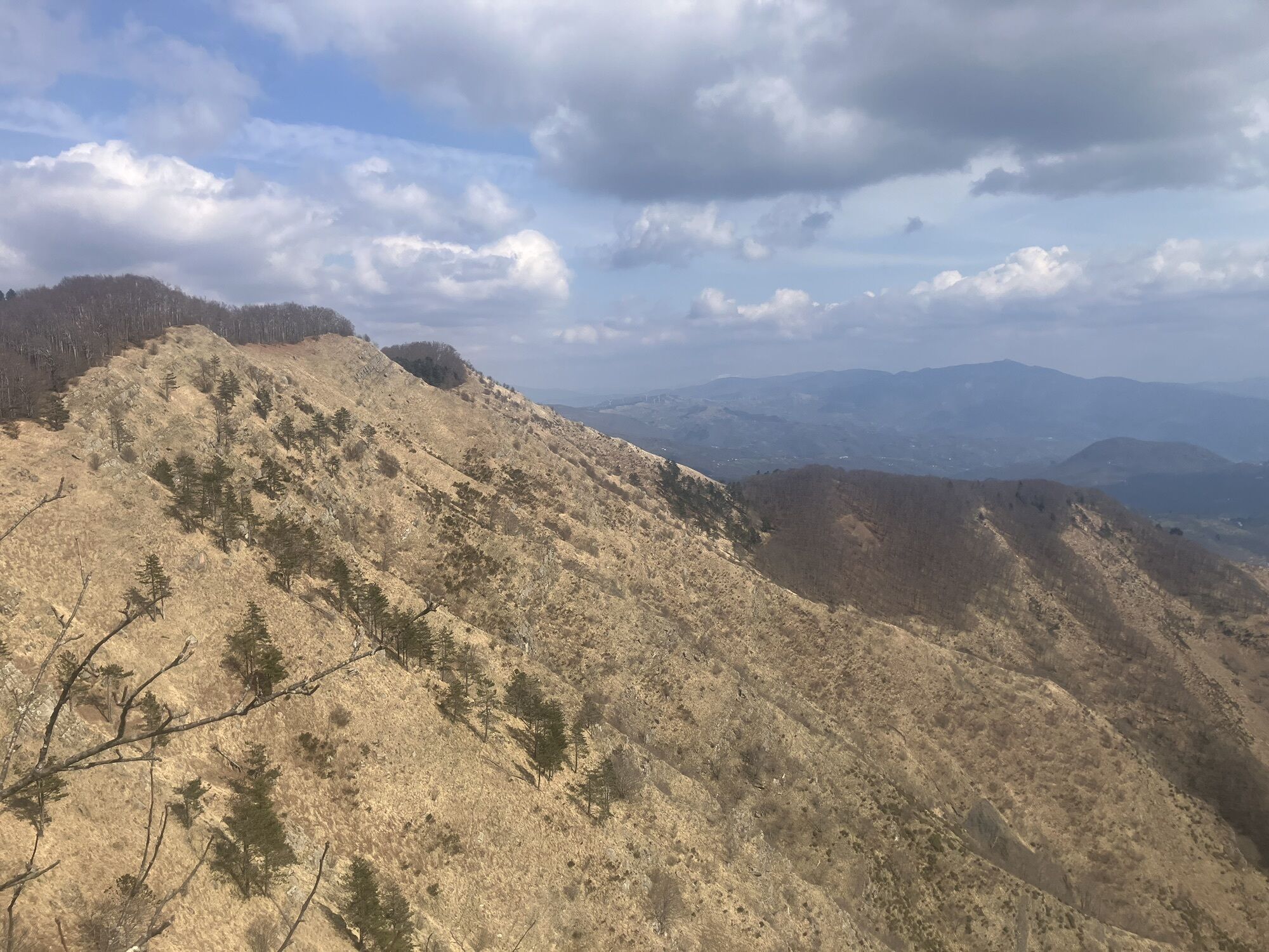
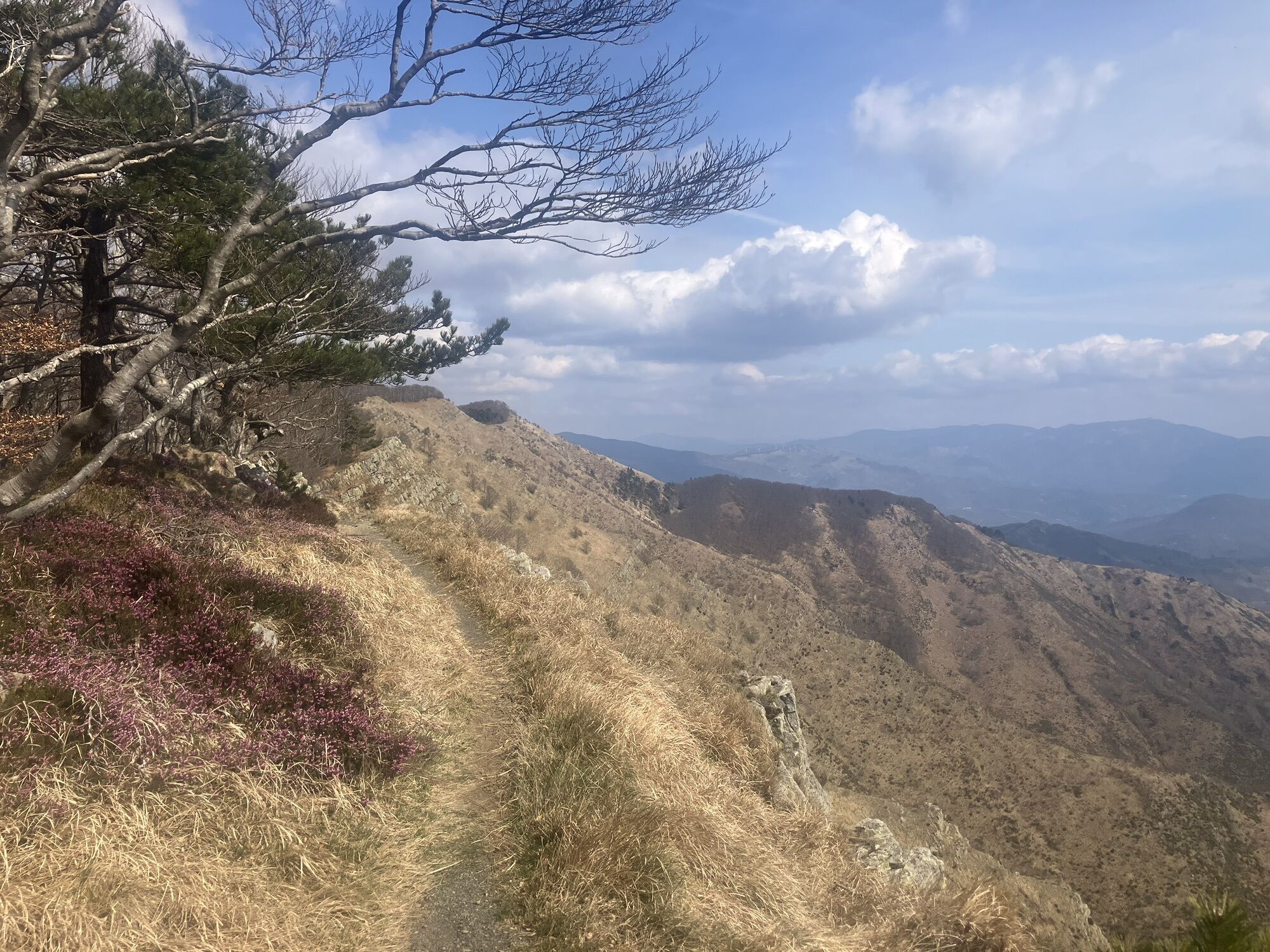
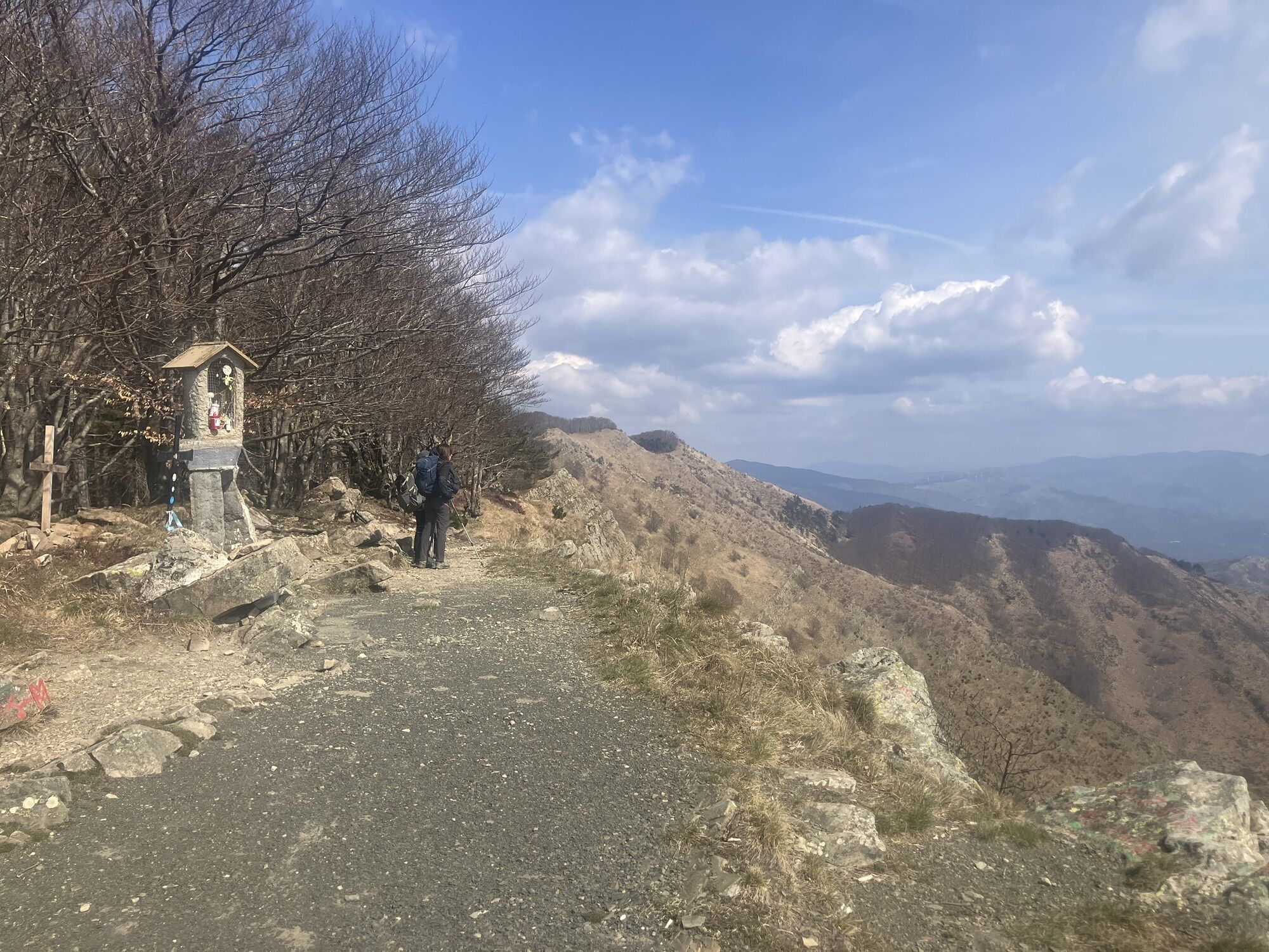
The footpath going up is marked with two red lines; From the road, close to the church of Reppia (546 m), folllow down a mule track to Reppia stream (500 m). Then go up, meet Case Visagna (703 m) and follow up the panoramic south ridge of Monte Zatta di Ponente (East) up to the top (1355 m). Meet the route "Alta Via di Monti Liguri" and follow it on the right up to the Monte Zatta di Levante (West, 1406 m). Follow the ridge and meet Monte Prato Pinello (1390 m). Here go down along a stony and grassy ridge (leave the trail marks "Alta Via dei Monti Liguri" on your left), follow a trail marker red circle empty and red – white stripes of " Alta Via delle Cinque Terre". At Passo del Gatto (1042 m) follow to the right a dirt road going down toward Graveglia Valley. Reach the particular Casoni di Chiappozzo (786 m). Folllow the road till Case Soprane and Case Sottane. Here turn on the right up to Réppia


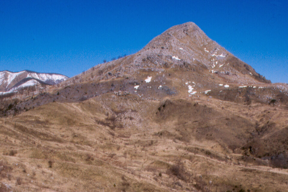
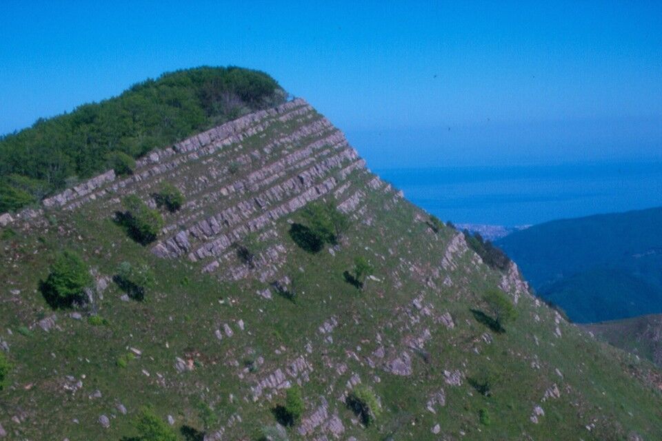
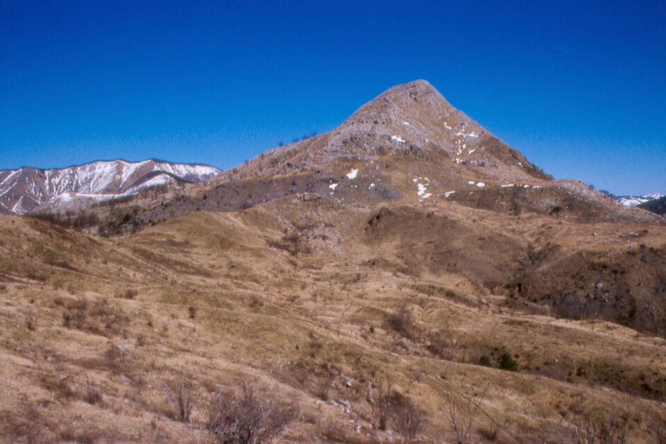

by public bus (autolinee ATP) from Chiavari to Reppia.
from Lavagna tool booth go to Graveglia Valley till Reppia.
Nature and Landscape * * * * * Family * * Gourmet * * Culture * * *
Popularne wycieczki w okolicy
-
5,0
GE_04 Ride to Bargone ring
Wędrówka 9,84 km -
5,0
Trail no. 34: Passo della Spingarda - Passo del Bocco
Wędrówka 12,3 km -
GE_01 Sanctuary of Velva - Monte Alpe di Maissana
ciężkiWędrówka 14,4 km -
Trail no. 35: Passo del Bocco - Colla Craiolo
Wędrówka 7,78 km -
SP_16 La Valle Lagorara
Wędrówka 11,9 km -
SP_09 Anello di Varese Ligure
Wędrówka 23,1 km -
GE_12 Ring path Mount Ramaceto
Wędrówka 10,6 km -
Trail no. 37: Passo di Cento Croci - Passo della Cappelletta
Wędrówka 5,02 km -
Trail no. 31: Passo di Ventarola - Passo della Forcella
Wędrówka 9,06 km -
GE_11 Ophiolitic path and Aiona Mount
Wędrówka 11,2 km
Wędrówki i tropienie


Nie przegap ofert i inspiracji na następne wakacje
Twój adres e-mail została dodana do listy mailingowej.





