






Trail no. 18: Le Mugge - Colle del Giovo

This trail takes you along a series of ups and downs in a rather isolated area, where the forests are inhabited by wild boars, roe deer and fallow deer. The route is covered mainly by dirt trails and forest...
This trail takes you along a series of ups and downs in a rather isolated area, where the forests are inhabited by wild boars, roe deer and fallow deer. The route is covered mainly by dirt trails and forest pathways, but you’ll also have to face a few stretches of more inaccessible passage.

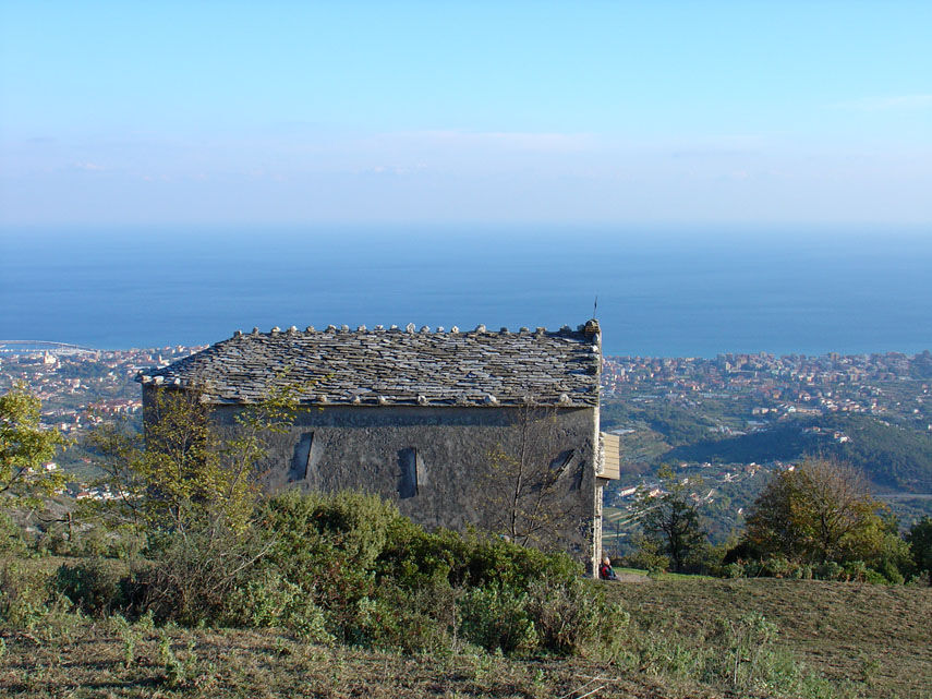
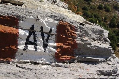

Mountain equipment is recommended.
It is recommended to refuel with water and food before departure.
There are no rest stops or accommodations along the route.
Popularne wycieczki w okolicy
-
Alta Via dei Monti Liguri - AV
Wędrówka 317,8 km -
Cinghialtracks (Ferrania)
średniMountainbike 30,2 km -
5,0
Albissola - Varazze 05.10.2024
światłoWędrówka 17,1 km -
3,0
SV_02 Ring path of Foresta Deiva
Wędrówka 12,0 km -
Beigua 2 Varazze Sassello (Varazze)
ciężkiMountainbike 68,2 km -
Itinerary of the country churches and gullies in the Bormida Valley of Spigno and Erro - Stage 3: Miogliola - Spigno Monferrato
światłoKolarstwo długodystansowe 21,9 km -
All Collina Tour
ciężkiMountainbike 40,4 km -
4,0
SV_04 Roviasca - Colle del Termine - Colle Baraccone
Wędrówka 11,3 km -
Trail no. 19: Colle del Giovo - Prato Rotondo
Wędrówka 10,5 km -
SV_03 Ring path of Adelasia
Wędrówka 6,10 km
Wędrówki i tropienie


Nie przegap ofert i inspiracji na następne wakacje
Twój adres e-mail została dodana do listy mailingowej.





