







La Roche de Murs
Poziom trudności: T1
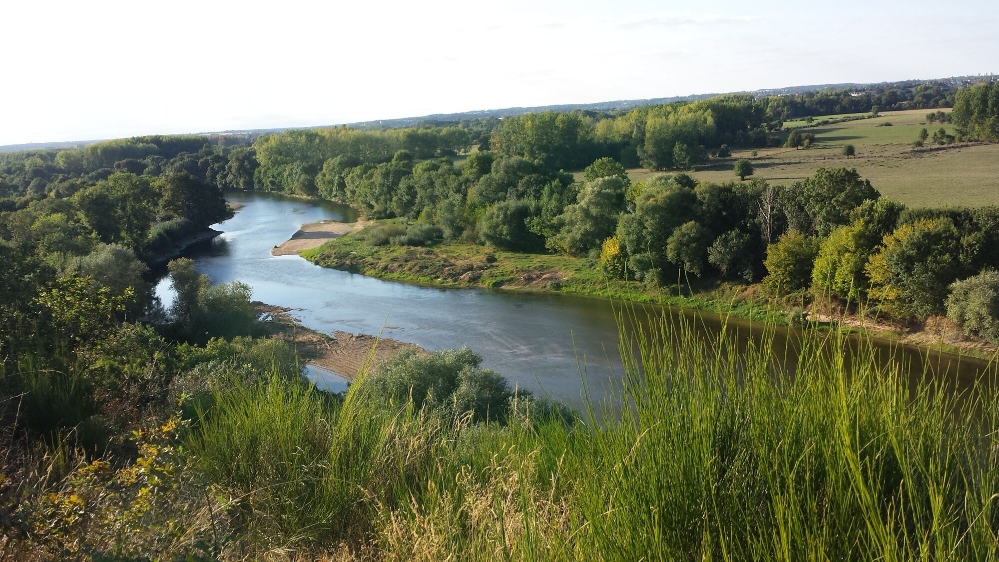
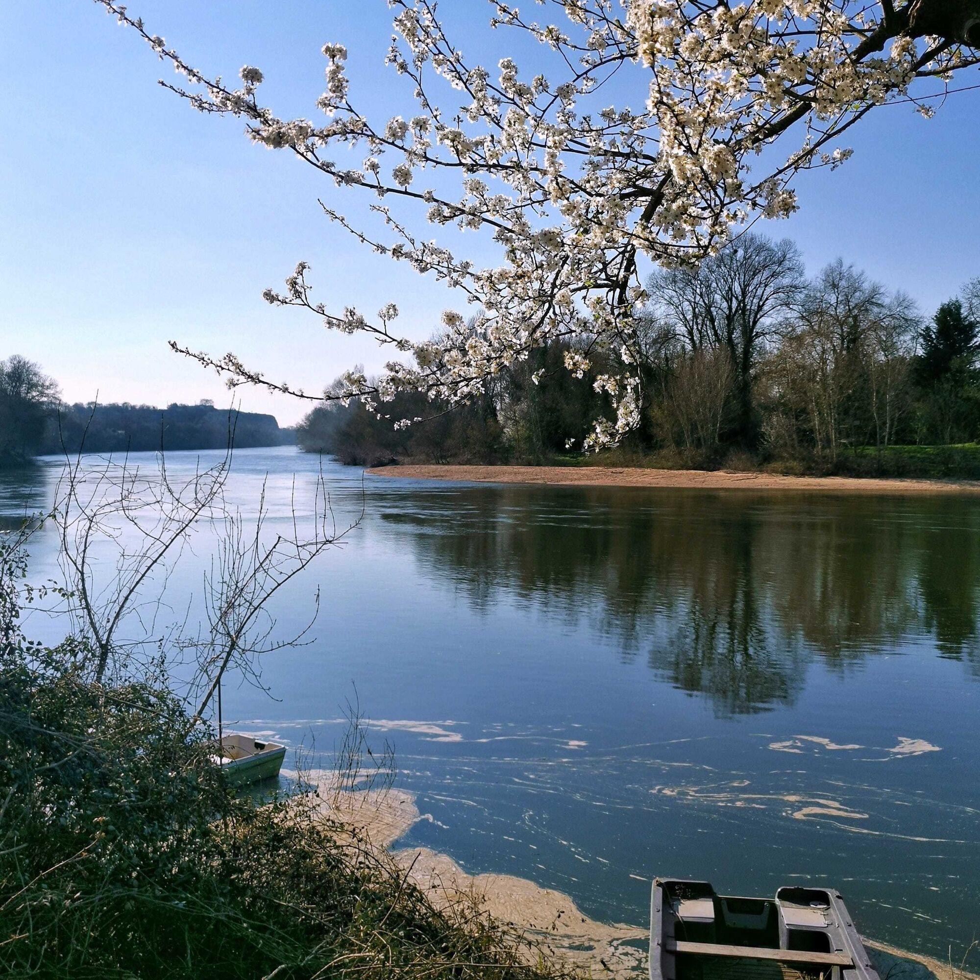
Crossed by the Louet and the Aubance rivers, Mûrs-Erigné offers diversified landscapes thanks to its location in the alluvial valley from the left bank of the Loire river and on slaty hillsides.
Tourist...
Tourist places :
- Old sand port: the extraction of sand “from Loire” began in the 19th century and was managed by the Allory family from 1882. Since the end of the 20th century, sand extraction along the Loire river’s course is forbidden.
- The Republican monument, built in 1889, is a symbol of La Roche-de-Mûrs’s history and reminds the Republican concepts of freedom, equality and fraternity, where 600 Republicans died, some by throwing themselves down the cliff, during the battle “contre les Blancs”, the 26th of July 1793.
- The blockhouse built during winter 1942-1943 was the centre of the system implemented in Érigné by the Kriegsmarine based in the château de Pignerolles in Saint-Barthélémy-d’Anjou.
Equipment at your disposal :
- Picnic tables on the route
Departure point :
- Sablierport, chemin des Prés in Mûrs-Érigné
Practical information :
- Trail not passable during floods
Circuit marked out in mauve.






Route marked in purple.
Tak
Angers and its surroundings, rich in their confluence landscapes, are sometimes subject to flood risks throughout the year. Some trails may be temporarily impassable, stay alert.
In case of emergency, dial 112.
Consider carpooling.
Parking near the starting point.
T1
Be vigilant, especially when crossing roads or when you are near them, but also at all times in nature. It may sometimes have dangerous passages, flooded areas, steep sites, or slippery paths.
Follow the marked paths to avoid getting lost and to limit soil erosion and damage to natural habitats. Pay attention to the markings and if in doubt, don’t hesitate to turn back.
Do not pick protected species and stay discreet to avoid disturbing wildlife.
Some trails are used by cyclists, be careful.
This route and the associated GPX track may under no circumstances be shared without mentioning Destination Angers.
Popularne wycieczki w okolicy
-
4,0
The Anjou loop of La Loire à Vélo - with bac de la Chevalerie
światłoJazda na rowerze 39,1 km -
Lake, pond and tributary
światłoWędrówka 18,5 km -
To the confluence of the Loire and the Maine
światłoWędrówka 18,0 km -
Bucolic walk around Saint-Léger-de-Linières
światłoWędrówka 8,11 km -
The Savennières vineyards
światłoWędrówka 9,59 km -
The Authion by bike
światłoJazda na rowerze 20,9 km -
Loire and Aubance Circuit
światłoJazda na rowerze 51,5 km -
Walk around Saint-Martin-du-Fouilloux
światłoWędrówka 10,7 km -
The Mayenne river and meadows in the low valleys of Angers
światłoWędrówka 17,4 km -
A relaxing walk around Béhuard
światłoWędrówka 9,26 km
Wędrówki i tropienie


Nie przegap ofert i inspiracji na następne wakacje
Twój adres e-mail została dodana do listy mailingowej.





