







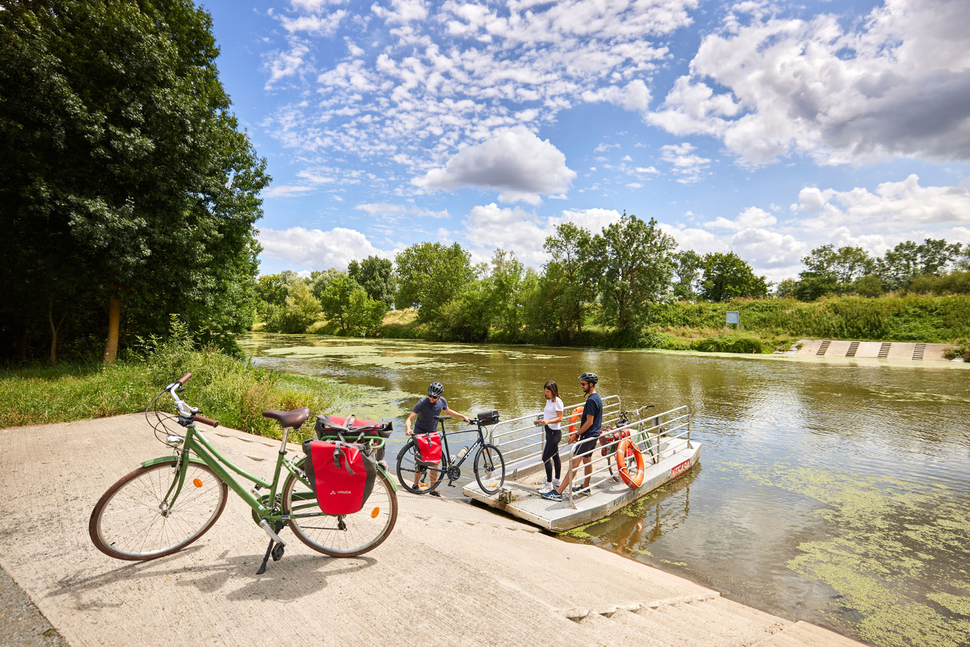
The Anjou loop of La Loire à Vélo - with bac de la Chevalerie
Poziom trudności: 1
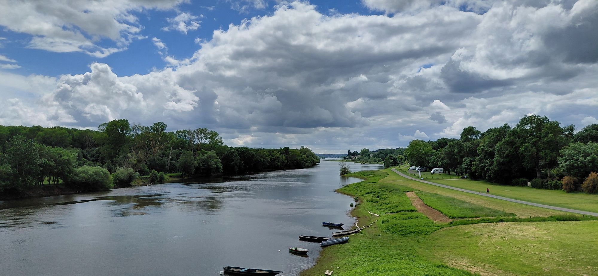
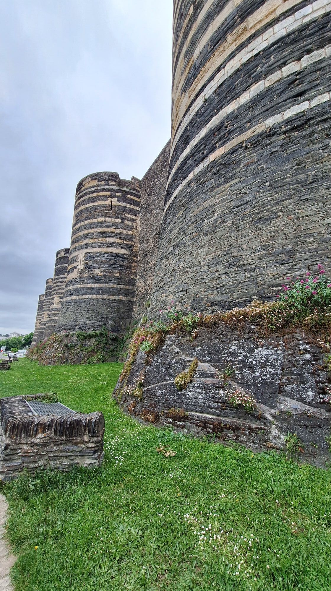
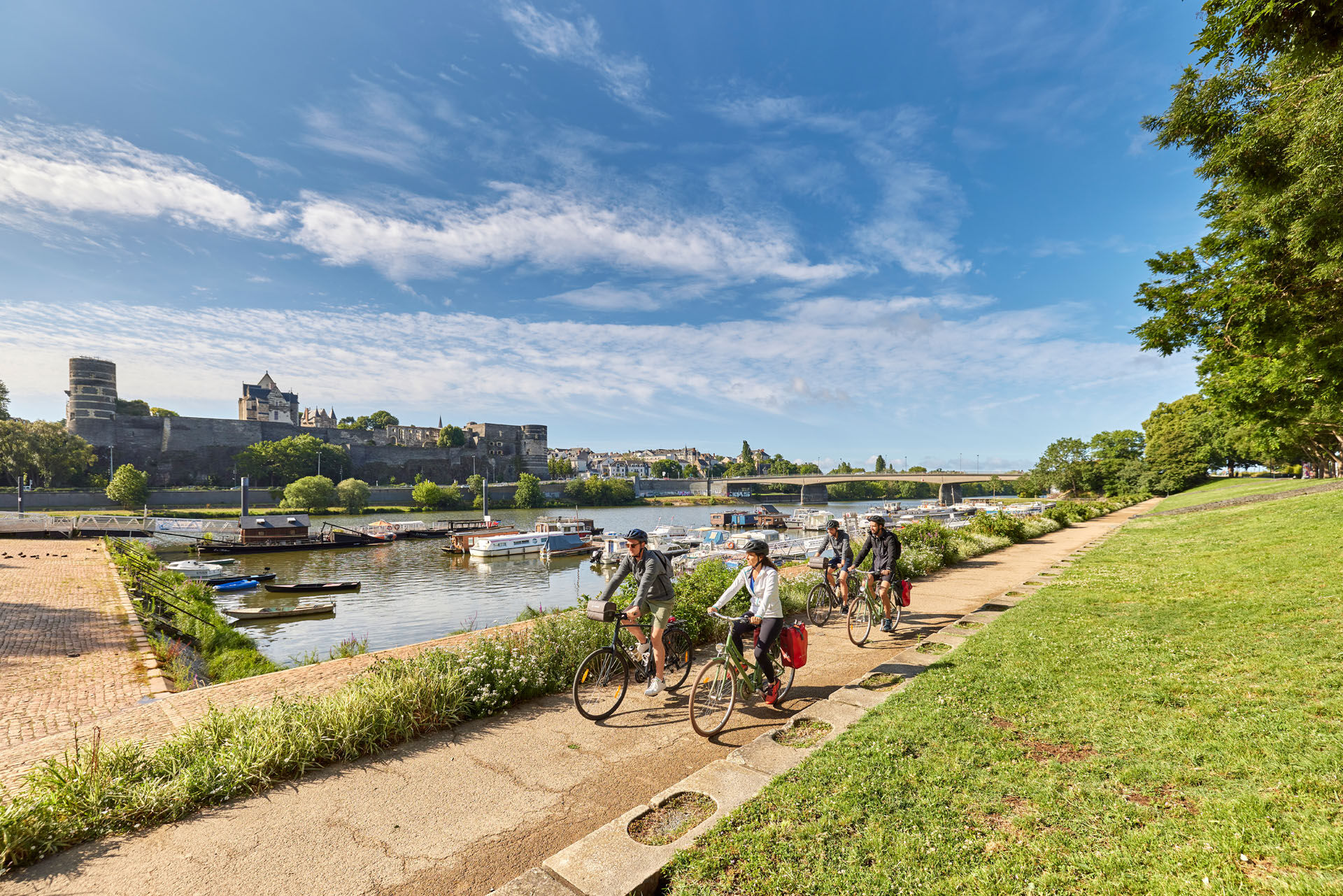
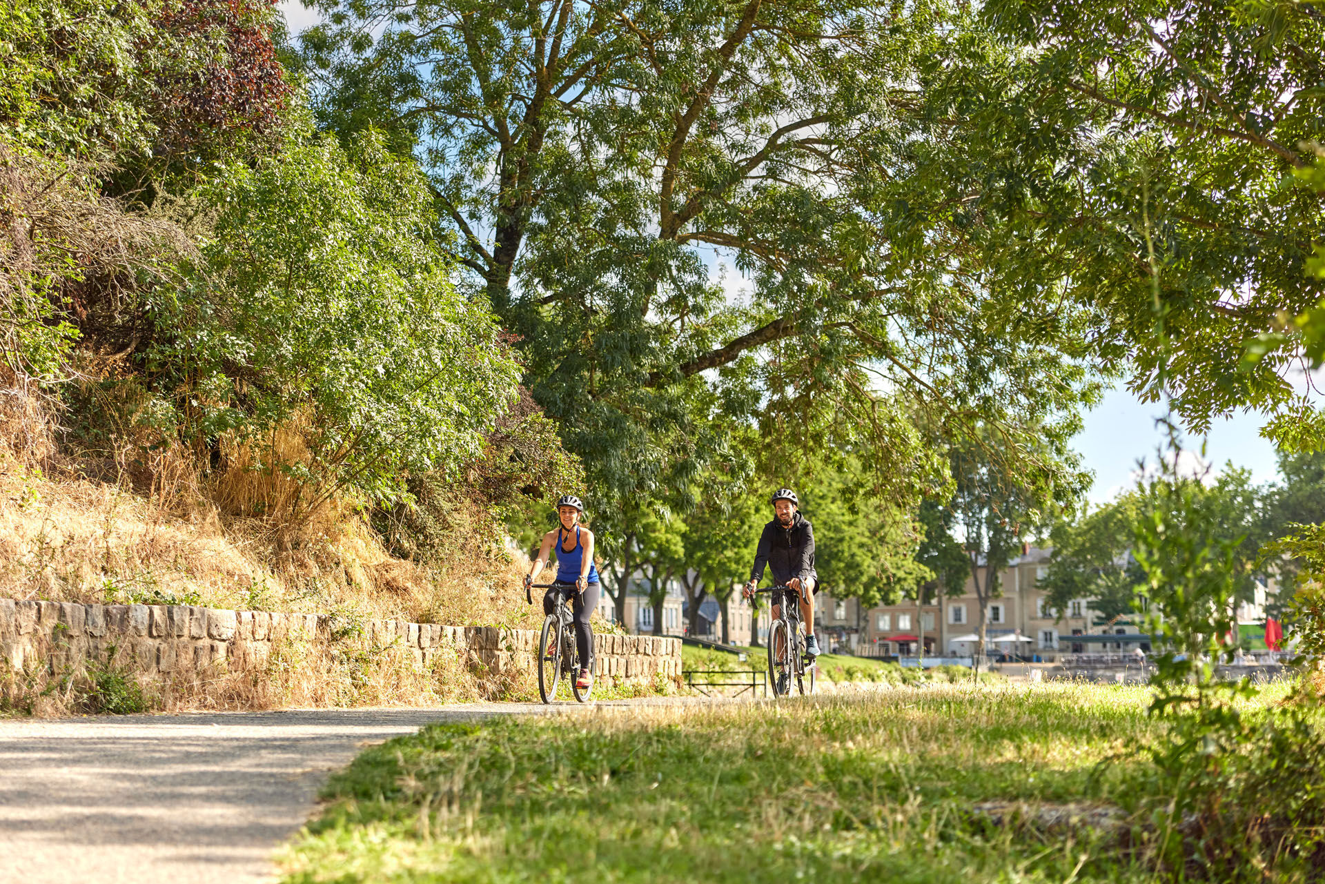
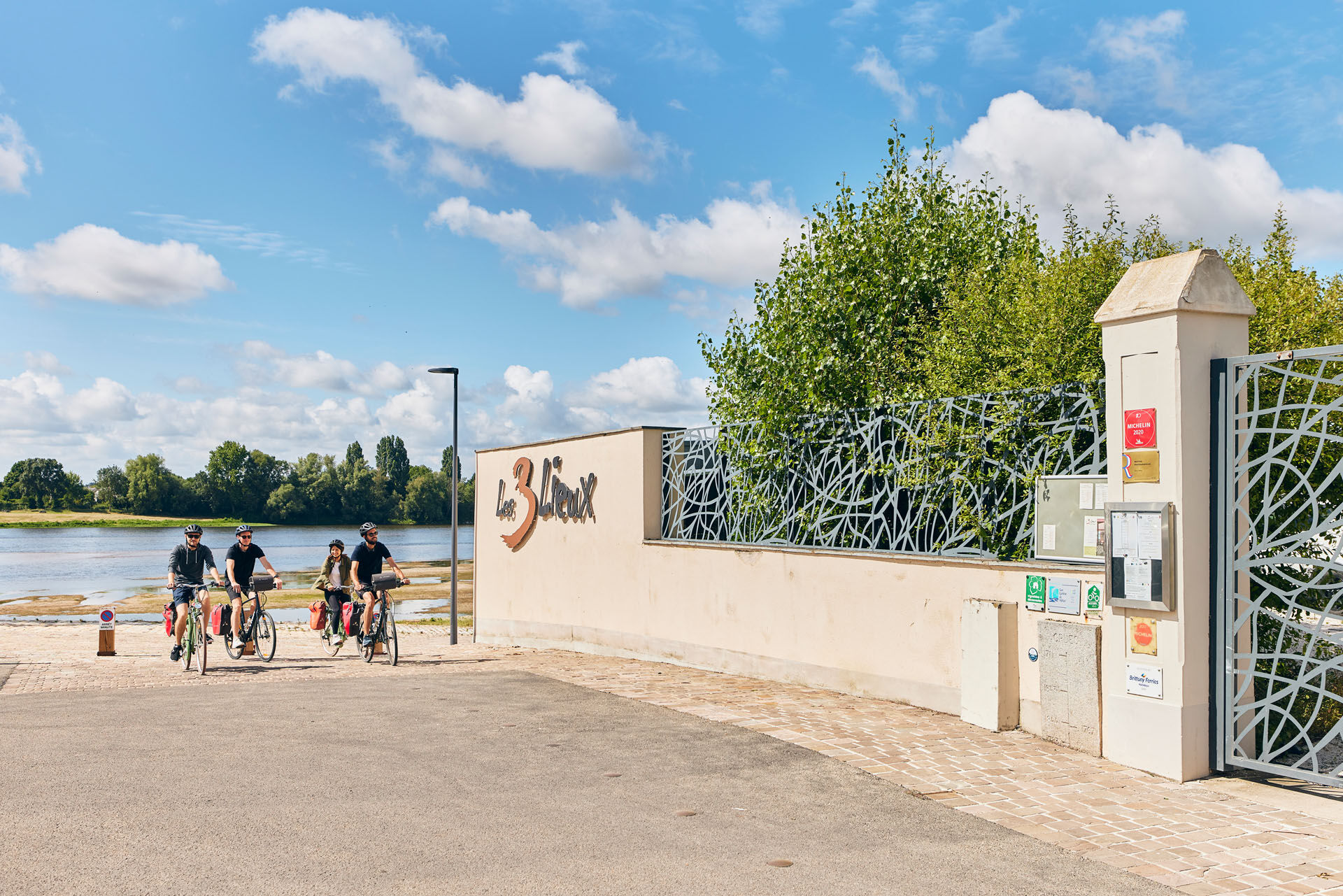
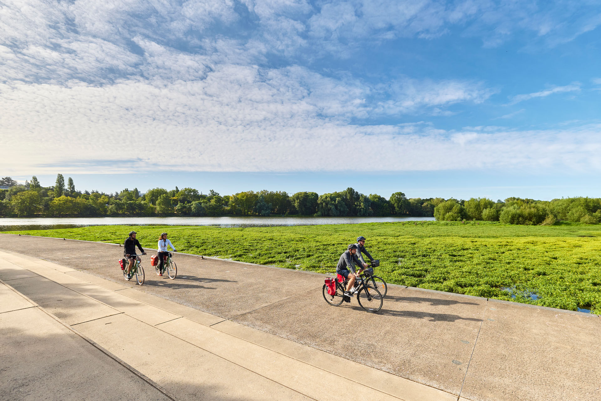
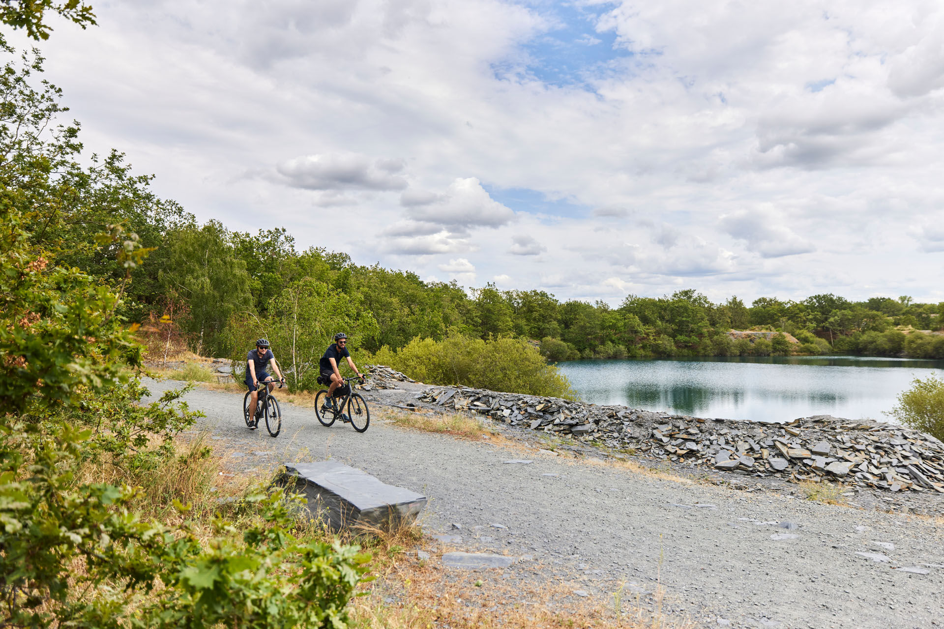
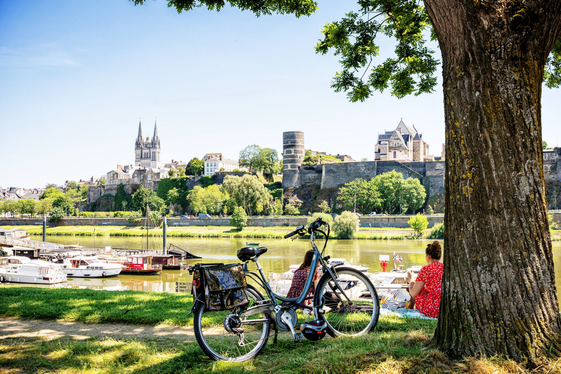
From the Parc de Balzac, follow this loop to discover remarkable sites such as Lac de Maine, the belvedere at La Piverdière in Bouchemaine, the banks of the Loire and the Ardoisières. In Angers, take the...
From the Parc de Balzac, follow this loop to discover remarkable sites such as Lac de Maine, the belvedere at La Piverdière in Bouchemaine, the banks of the Loire and the Ardoisières. In Angers, take the opportunity to stroll through the narrow streets of the historic city.



Tak
Before setting off:
Ensure the bike is in perfect mechanical condition, including tires and brakes Make sure the bike is properly adjusted to your body shape Wearing a helmet is strongly recommended Bring a repair kit Remember that the highway code applies to cyclists at all times Never ride more than two abreast and keep to a single file when traffic conditions require it Respect other road users as you would like them to respect you Choose a route suited to your physical abilities Inform those around you of your itinerary Check the weather conditions A first aid kit is not essential but can be very useful Find out and keep emergency phone numbers handy Respect the environment by not throwing food wrappers on the roadside If you need to return at dusk, make sure you can see and be seenAngers and its surroundings, rich in confluence landscapes, are sometimes subject to flood risks throughout the year. Some paths may be temporarily impassable, stay vigilant.
In case of emergency, dial 112.
Think of carpooling.
Parking near the starting point.
1
This route and the associated GPX track may in no case be shared without mentioning Destination Angers.

Popularne wycieczki w okolicy
- 4,0
Bucolic walk around Saint-Léger-de-Linières
światłoWędrówka 8,11 km La Roche de Murs
światłoWędrówka 5,14 kmLake, pond and tributary
światłoWędrówka 18,5 kmTo the confluence of the Loire and the Maine
światłoWędrówka 18,0 kmThe Savennières vineyards
światłoWędrówka 9,59 kmScents of the undergrowth walk
światłoWędrówka 13,8 kmA relaxing walk around Béhuard
światłoWędrówka 9,26 kmThe Authion by bike
światłoJazda na rowerze 20,9 kmLoire and Aubance Circuit
światłoJazda na rowerze 51,5 kmThe Mayenne river and meadows in the low valleys of Angers
światłoWędrówka 17,4 km

Wędrówki i tropienie


Nie przegap ofert i inspiracji na następne wakacje
Twój adres e-mail została dodana do listy mailingowej.





