Nawigacja
Pobierz tę trasę na swój telefon komórkowy
Mapa
Loire and Aubance Circuit
światło
Jazda na rowerze
51,52 km
Zeskanuj kod QR i rozpocznij nawigację w aplikacji bergfex.
QR Code
Wędrówki i tropienie

Loire and Aubance Circuit

światło
Jazda na rowerze
Odległość
51,5 km
Czas trwania
03:40 h
Ascent
202 hm
Poziom morza
17 - 81 m

Poziom trudności: 2

Ścieżka do pobrania
Mapa
Loire and Aubance Circuit
światło
Jazda na rowerze
51,52 km

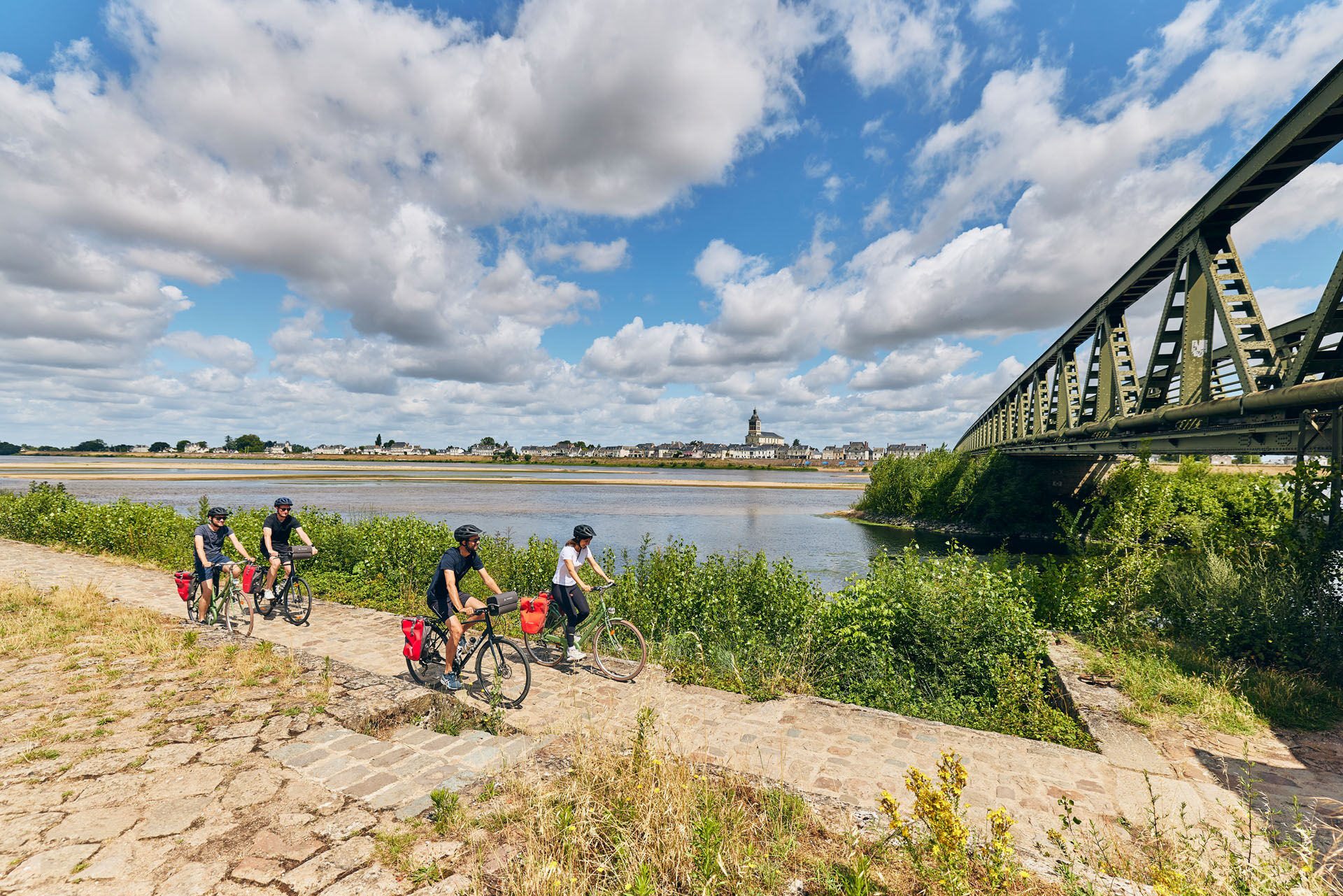
Take this loop connecting Brissac-Quincé to the Loire à Vélo route, towards Saint-Mathurin-sur-Loire or Les Ponts-de-Cé. Enjoy the landscapes of the Loire and the Aubance vineyard along the route.

Trasa
Chapelle de la Salette
(19 m)
Miejsce kultu
4,8 km
Église Saint-Mathurin
(24 m)
Miejsce kultu
11,4 km
Église Saint-Aubin
(35 m)
Miejsce kultu
19,5 km
Le Brenlard
(61 m)
Rozliczenie
21,9 km
Église Saint-Germain
(24 m)
Miejsce kultu
36,9 km
Église Saint-Maurille
(28 m)
Miejsce kultu
42,6 km
Les Ponts-de-Cé
(20 m)
Miasto
44,2 km
Trasa
Mapa
Loire and Aubance Circuit
światło
Jazda na rowerze
51,52 km
La Daguenière
(20 m)
Wioska
0,3 km
Chapelle de la Salette
(19 m)
Miejsce kultu
4,8 km
La Bohalle
(20 m)
Wioska
5,0 km
Bon Repos
(20 m)
Rozliczenie
9,8 km
L'Ouche Verrière
(21 m)
Rozliczenie
9,9 km
La Luciole
(22 m)
Restauracja
11,0 km
Église Saint-Mathurin
(24 m)
Miejsce kultu
11,4 km
Saint-Mathurin-sur-Loire
(22 m)
Wioska
11,6 km
Saint-Rémy-la-Varenne
(27 m)
Wioska
13,4 km
Chauvigné
(57 m)
Wioska
15,4 km
Gohier
(26 m)
Wioska
17,9 km
Les Basses Arches
(22 m)
Korytarz/teren
19,0 km
Blaison-Gohier
(33 m)
Wioska
19,1 km
Église Saint-Aubin
(35 m)
Miejsce kultu
19,5 km
Le Petit Blaison Côté Restaurant
(32 m)
Restauracja
19,5 km
Le Petit Cotillon
(75 m)
Rozliczenie
20,9 km
La Pentière
(75 m)
Rozliczenie
21,0 km
Clos des Châtaigniers
(54 m)
Rozliczenie
21,9 km
Le Brenlard
(61 m)
Rozliczenie
21,9 km
La Croix Piron
(51 m)
Rozliczenie
23,0 km
Jouralem
(77 m)
Rozliczenie
23,4 km
Le Bourgneuf
(81 m)
Rozliczenie
23,6 km
Pièce du Moulin
(80 m)
Rozliczenie
23,6 km
Saint-Sulpice
(31 m)
Wioska
25,6 km
Église Saint-Sulpice
(32 m)
Miejsce kultu
25,7 km
La Grande Fontaine
(50 m)
Rozliczenie
32,9 km
Martigneau
(42 m)
Rozliczenie
34,6 km
Juigné-sur-Loire
(25 m)
Wioska
36,9 km
Église Saint-Germain
(24 m)
Miejsce kultu
36,9 km
Bourg
(20 m)
Rozliczenie
38,6 km
Le Bosquet
(20 m)
Rozliczenie
41,2 km
Le Bosquet
(20 m)
Restauracja
41,6 km
Église Saint-Maurille
(28 m)
Miejsce kultu
42,6 km
La Filerie
(20 m)
Rozliczenie
42,9 km
Pizza Tempo
(22 m)
Restauracja
43,6 km
Les Ponts-de-Cé
(20 m)
Miasto
44,2 km
Belle Poule
(21 m)
Restauracja
46,8 km
O’Daguenais
(23 m)
Restauracja
50,8 km
La Daguenière
(20 m)
Wioska
51,3 km
Informacje o wycieczce

With a length of 52 kilometers, these marked routes allow you to discover the landscapes of Loire and vineyards by bike.

Technologia
2 / 6
Stan
1 / 6
Krajobraz
5 / 6
Doświadczenie
5 / 6
Najlepsza pora roku
Sty
Lut
Mar
Kwi
Maj
Cze
Lip
Sie
Wrz
Paź
Lis
Gru
Autor
Dostarczone przez Destination Angers
Logo
Udostępnij trasę
Mapa
Loire and Aubance Circuit
światło
Jazda na rowerze
51,52 km
Błąd
Wystąpił błąd. Spróbuj ponownie.
Informacje o trasie
Odpowiedni dla rodzin

Tak

Sprzęt

Before setting off:

Make sure the bike is in perfect mechanical condition, including tires and brakes Make sure the bike is properly adjusted to your body shape Wearing a helmet is strongly recommended Bring a repair kit Remember that the Highway Code applies to cyclists at all times Never ride more than two abreast and keep to a single file when traffic conditions require it Respect other road users as you would want them to respect you Choose a route adapted to your physical abilities Inform those close to you of your itinerary Check the weather conditions A first aid kit is not essential but can be very useful Find out and keep emergency phone numbers. Respect the environment by not throwing food wrappers on the roadside If you have to return at nightfall, make sure you can see and be seen
Instrukcje bezpieczeństwa

Angers and its surroundings, rich in confluence landscapes, are sometimes subject to flood risks throughout the year. Some trails may be temporarily impassable, stay alert.

In case of emergency, call 112.

Informacje o przyjeździe
Przybycie

Consider carpooling.

Transport publiczny
Parking

Parking spaces near the start of the route.

Dodatkowe informacje i wskazówki
Poziom trudności

2

Dodatkowe informacje
APIDAE tourism data updated on 15/03/2023 by "Destination Angers".
Spotted an error? Write to the owner with the following information:
File name: Boucle entre Loire et Aubance | Record identifier: 6036230 | URL (link) for this Outdooractive page.
Wskazówki

This route and the associated GPX track cannot, under any circumstances, be shared without mentioning Destination Angers.

Wędrówki i tropienie

Wędrówki i tropienie

Wędrówki i tropienie
Ponad 550.000 propozycji wycieczek, szczegółowe mapy i intuicyjny planer tras sprawiają, że aplikacja jest niezbędna dla wszystkich entuzjastów przyrody.
bergfex