






From Vysoká Pec to Havraní vrch
From the parking lot opposite the Sportka restaurant, we follow the educational trail to the slopes on the left side of the hotel. We pass a western town where a country meeting takes place every summer....
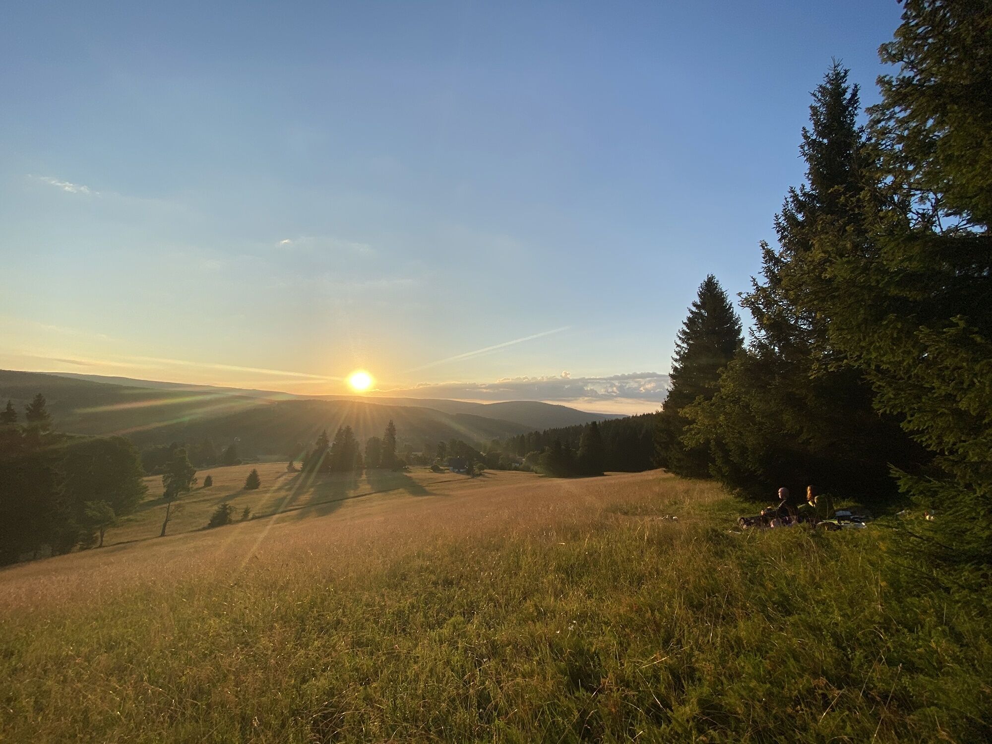
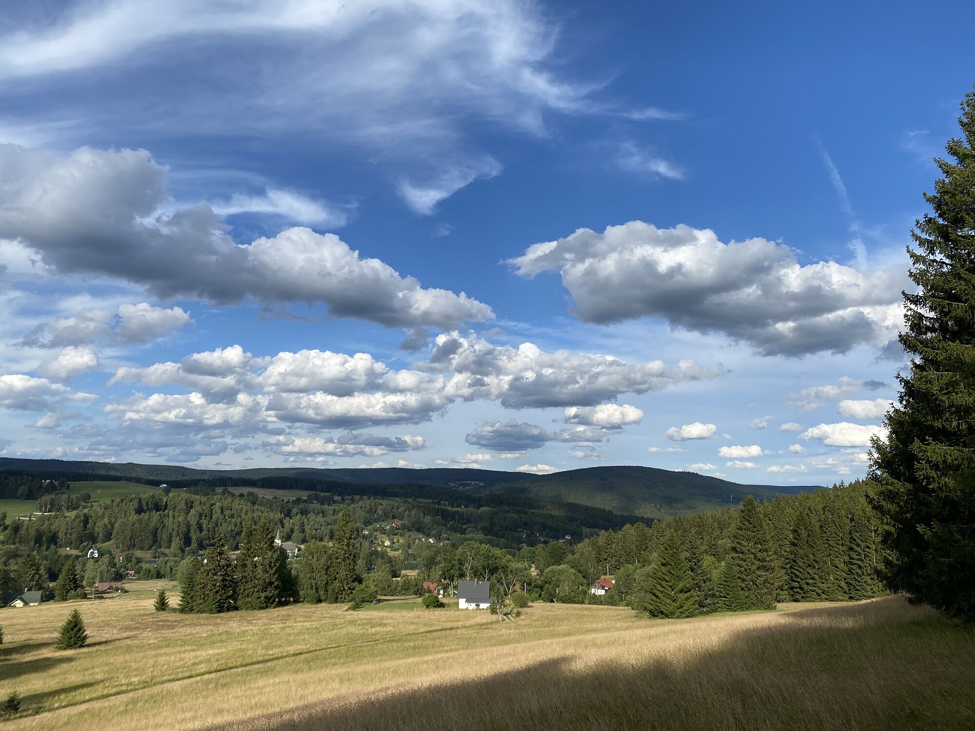
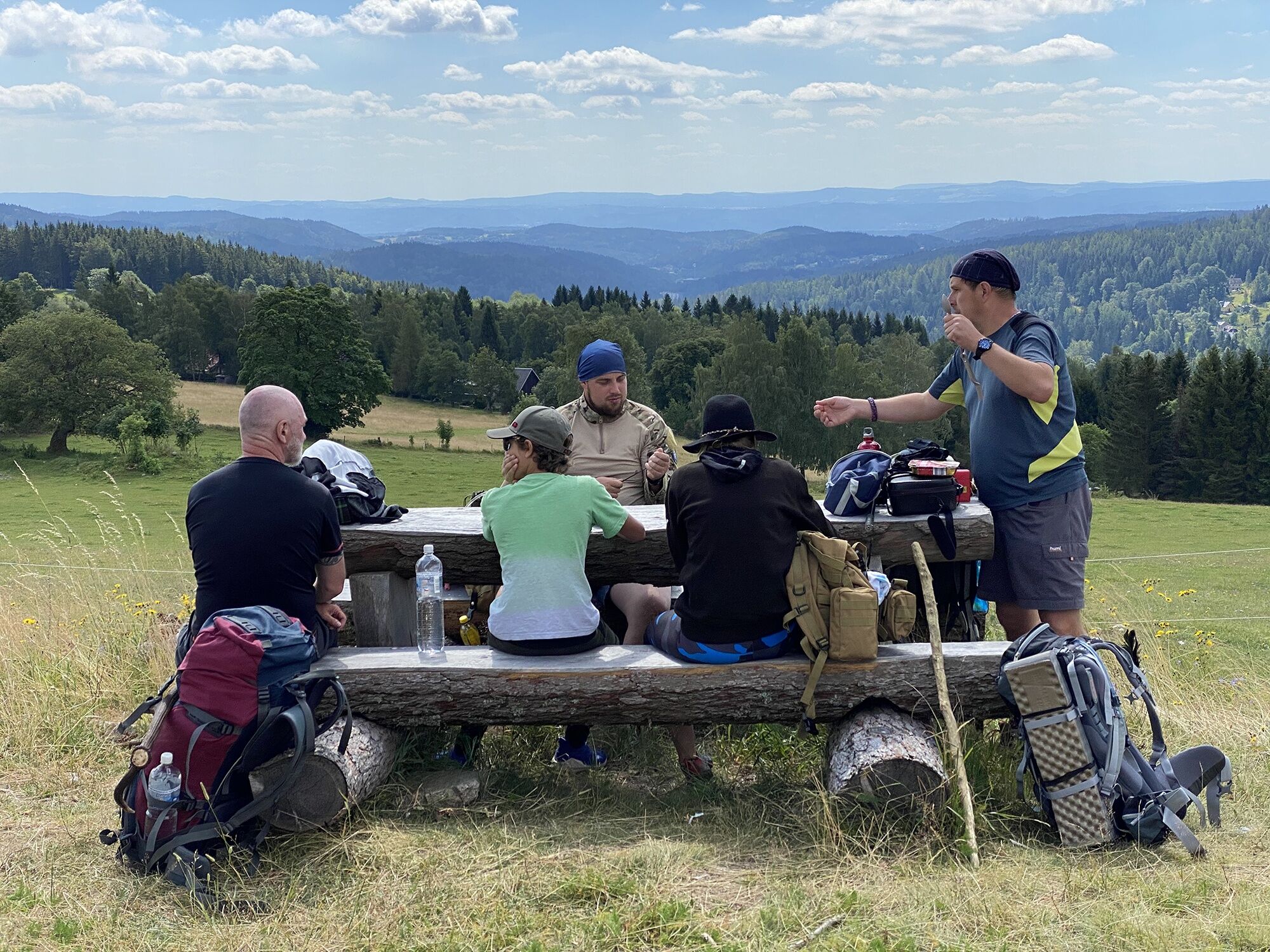
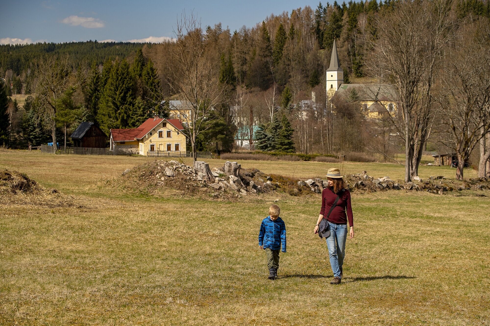
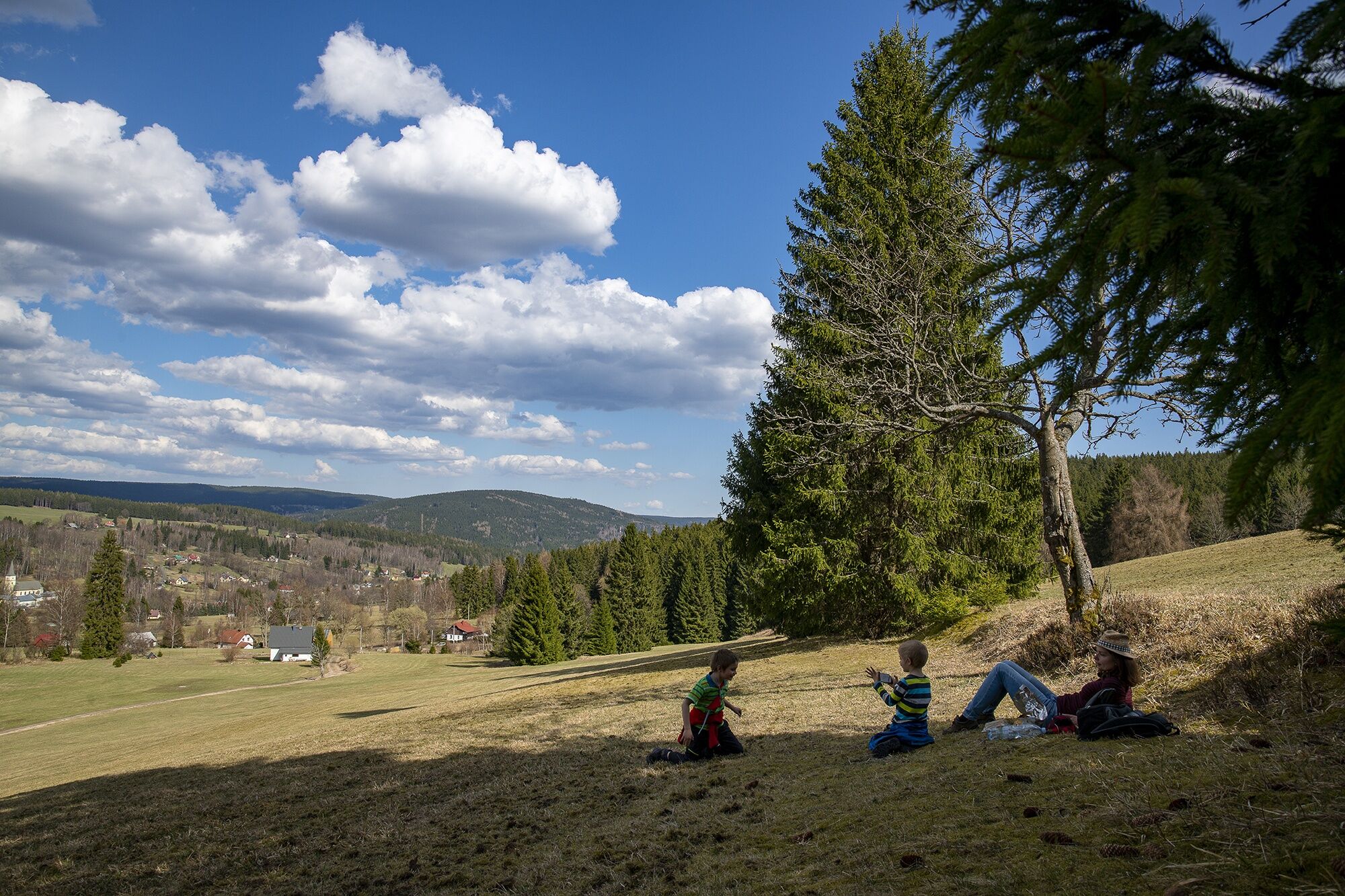
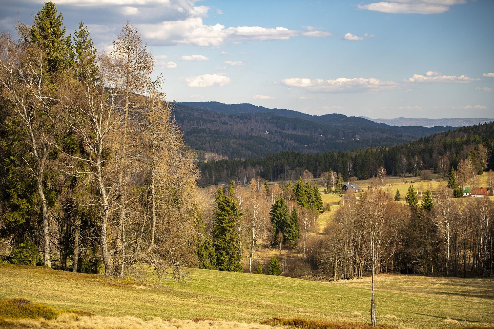
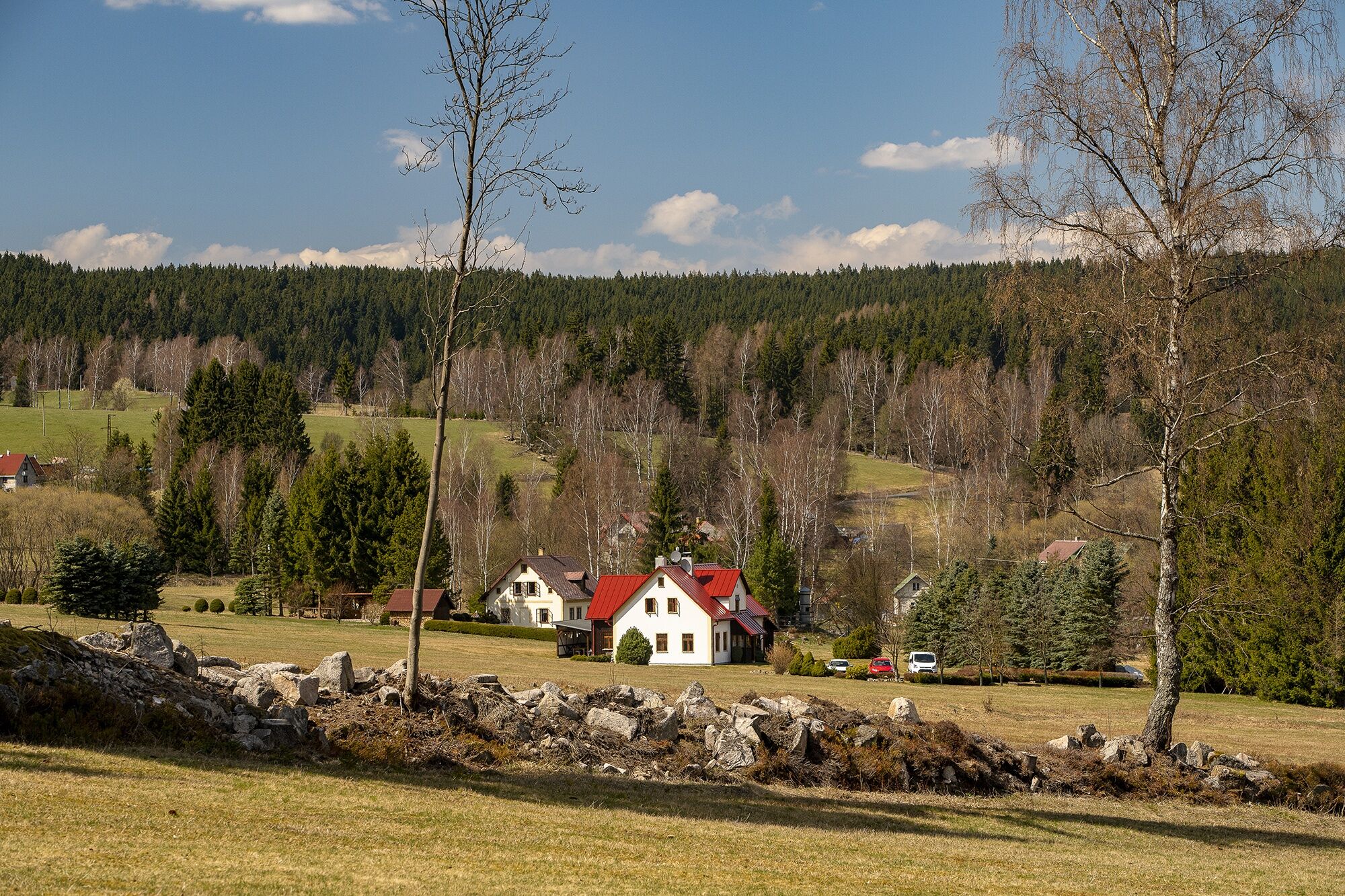
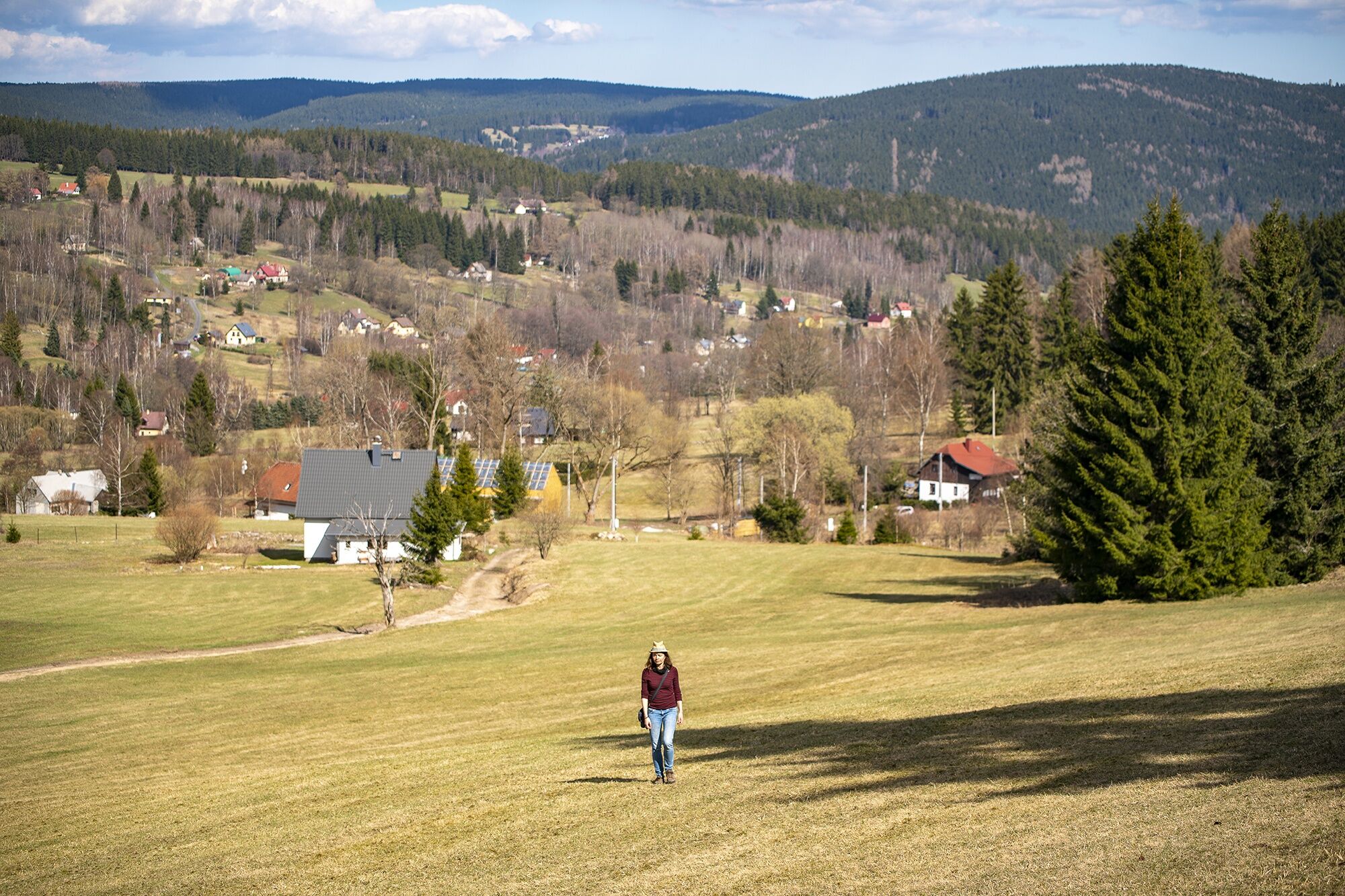
Now it continues on flat terrain and we enjoy one beautiful view after another. The whole village lies like on a palm below us and above it towers the distinctive Pajndl with its lookout tower. We walk to the end of the village Rudné, where we come across an asphalt road. We turn right and go past the cemetery and the church down to the center of Rudné. In front of the KaÅka swimming pool we turn left and walk through a picturesque side valley up to the Havraní vrch viewpoint. Here we can rest on a bench and enjoy the panoramic view.
Then we continue on the educational trail through meadows and forests to a former farm. From there it goes steeply downhill back to the Sportka restaurant, where we can reward ourselves with a treat.


Tak
Popularne wycieczki w okolicy
-
Rundwanderung Talsperre Sosa
światłoWędrówka 7,95 km -
5,0
Day route Ridge path 25 From Auersberg to the Carlsfeld dam and back
ciężkiWędrówka 20,4 km -
50 km - loop of the Drei-Talsperren-Marathon Eibenstock
ciężkiMountainbike 50,3 km -
4,0
Small Crane Lake
średniWędrówka 8,11 km -
5,0
Carlsfeld dam circuit
światłoMountainbike 18,1 km -
Johanngeorgenstadt - Talsperre Carlsfeld
średniNarciarstwo biegowe 18,8 km -
Karlsroute Karlovy Vary to Aue-Bad Schlema - southern route
średniJazda na rowerze 60,6 km -
Sauschwemme-Henneberg-Jeleni-Sauschwemme Johanngeorgenstadt, Deutschland
średniNarciarstwo biegowe 14,9 km -
Erlabrunn - Teufelssteine über Lehrpfad
światłoWędrówka 7,24 km -
All or nothing - the full load of the Ore Mountains
średniJazda na rowerze 40,0 km
Wędrówki i tropienie


Nie przegap ofert i inspiracji na następne wakacje
Twój adres e-mail została dodana do listy mailingowej.





