


Karlsroute Karlovy Vary to Aue-Bad Schlema - southern route
Poziom trudności: 4
The "Karlsroute" connects the cities of Karlovy Vary (CZ) and Chemnitz (DE) and thus also the Bohemian Eger Cycle Route with the Saxon Mulder Cycle Route. Starting from the center of the famous spa town...
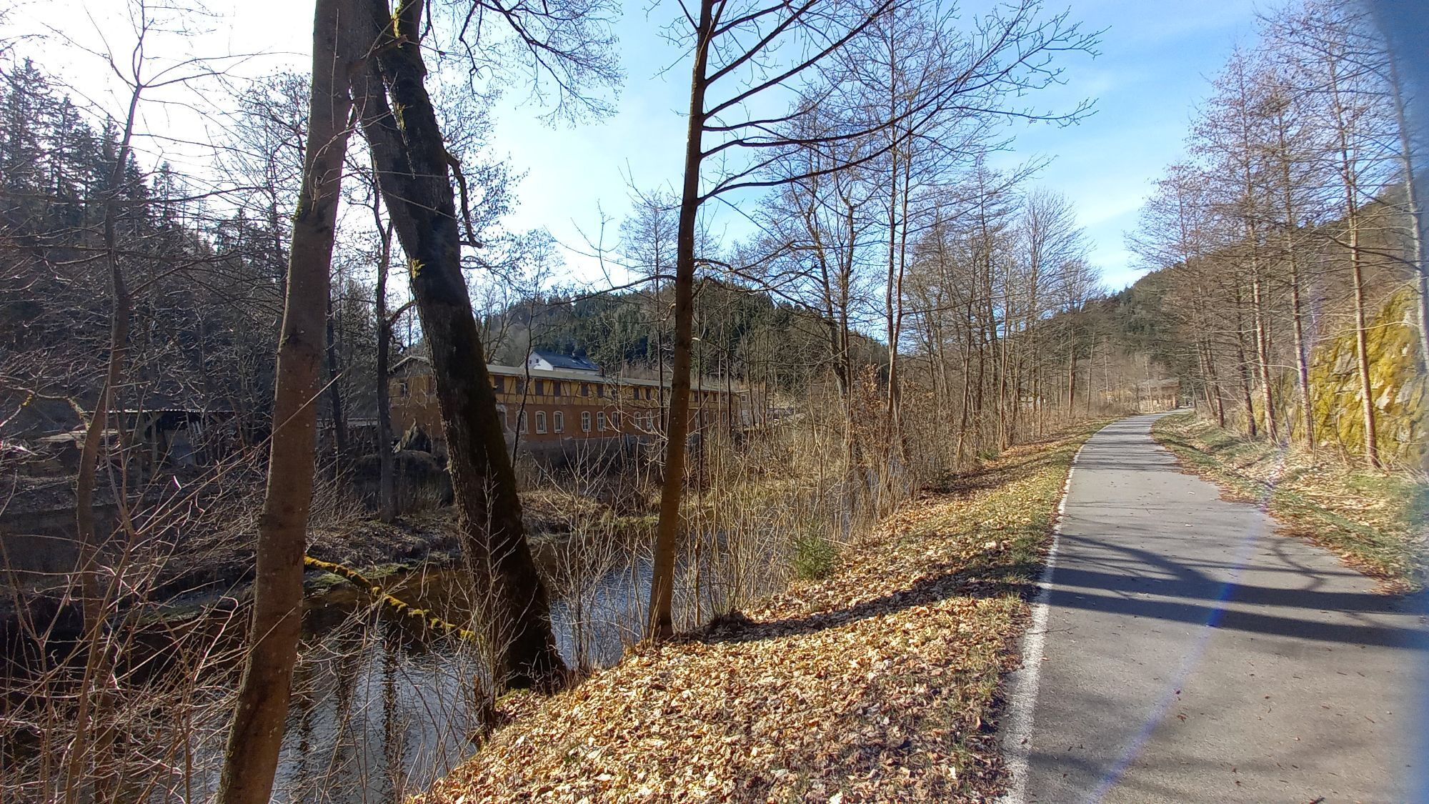
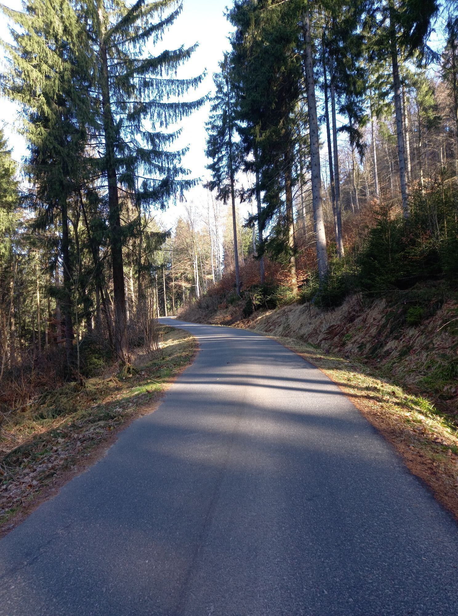
The "Karlsroute" connects the cities of Karlovy Vary (CZ) and Chemnitz (DE) and thus also the Bohemian Eger Cycle Route with the Saxon Mulder Cycle Route. Starting from the center of the famous spa town of Karlovy Vary, you cycle towards the ridge of the Ore Mountains. The ascent near Tisova is rewarded with a wonderful view of the idyllically situated Nejdek. Through the romantic valley of the Rolova you pass Nove Hamry and Pernink to the highest point of the Charles Route, the Hirschenstander Pass at 939 m above sea level. The route leads downhill past evidence of historical postal history via Oberwildenthal to the hammer mill town of Wildenthal. Further downstream in the valley of the Große Bockau, the "Karlsroute" leads past Saxony's highest waterfall to the cycle turnstile in Eibenstock/OT Blauenthal and continues along the Mulderadweg. Between Wolfsgrün and Aue, 12 kilometers of a former railroad line have been asphalted and converted into a cycle path in the charming valley of the Zwickauer Mulde. The "Karlsroute" leads through a 300 m long, historic railroad tunnel near Bockau, running parallel to the raft trench - a testimony to historic mine timber transportation - to Aue-Bad Schlema. Tin and kaolin mining as well as mechanical engineering and textile factories characterize the town's history.


The individual sections of the route run on mostly unpaved forest paths, partly on paved cycle paths and on public, but rather moderately frequented roads.The level of difficulty of this section is classified as "medium" to "difficult" due to the crossing of the Erzgebirge ridge.
Functional cycling clothing
The rail connection Chemnitz-Aue-Bad Schlema-Nejdek-Karlsbad with a change in Johanngeorgenstadt offers individual possibilities to combine the route with the train and thus comfortably return to the starting point by train at any time. (www.erzgebirgsbahn.de / www.cd.cz)
For capacity reasons, we recommend that you obtain the relevant information for reserving bicycle parking spaces in good time before the start of your journey.
Parking is available for a fee in Karlovy Vary, Aue-Bad Schlema and Chemnitz. It is recommended that you find out about the parking facilities on site in good time before the start of your trip.
4
Additional tours
Main route: North route
Secondary routes: Auersbergrunde (DE)
Sosa dam circuit (DE)
Carslfeld dam circuit (DE)
Eibenstock dam circuit (DE)
Scenic route (CZ)
Iron route (CZ)
Wistritz Route (CZ)
Porcelain Route (CZ)
www.karl sroute.eu
Karlovy Vary: spa architecture, colonnades, thermal springs, funicular railway
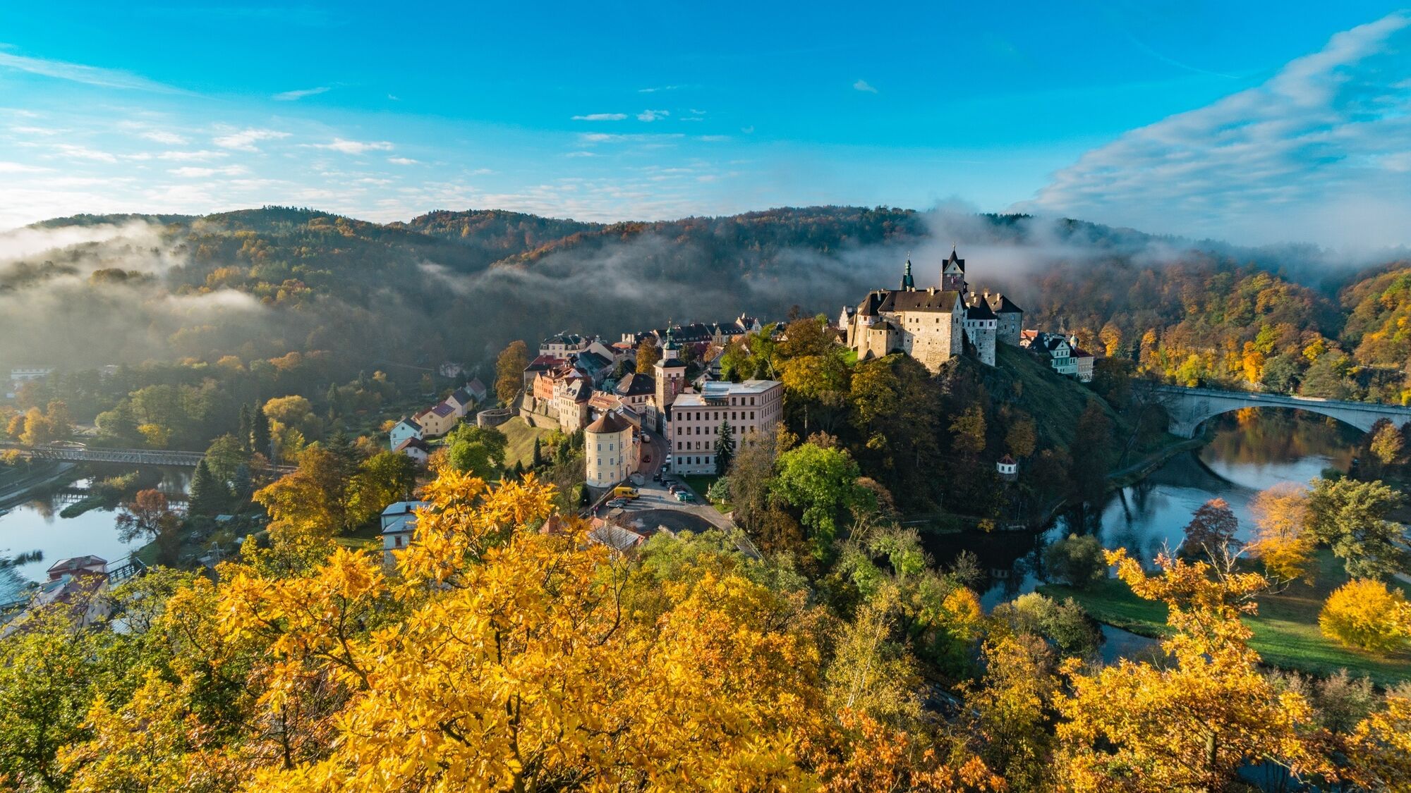
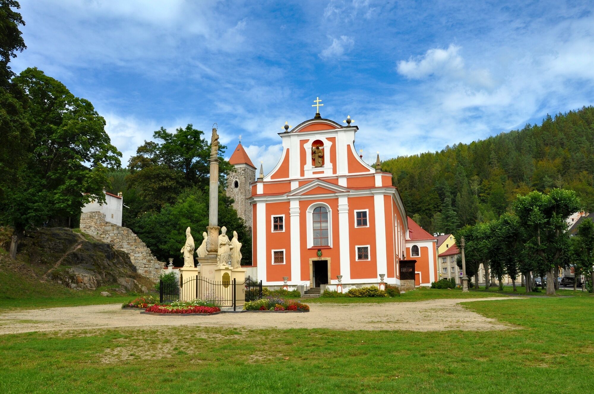
Loket (CZ): Loket Castle
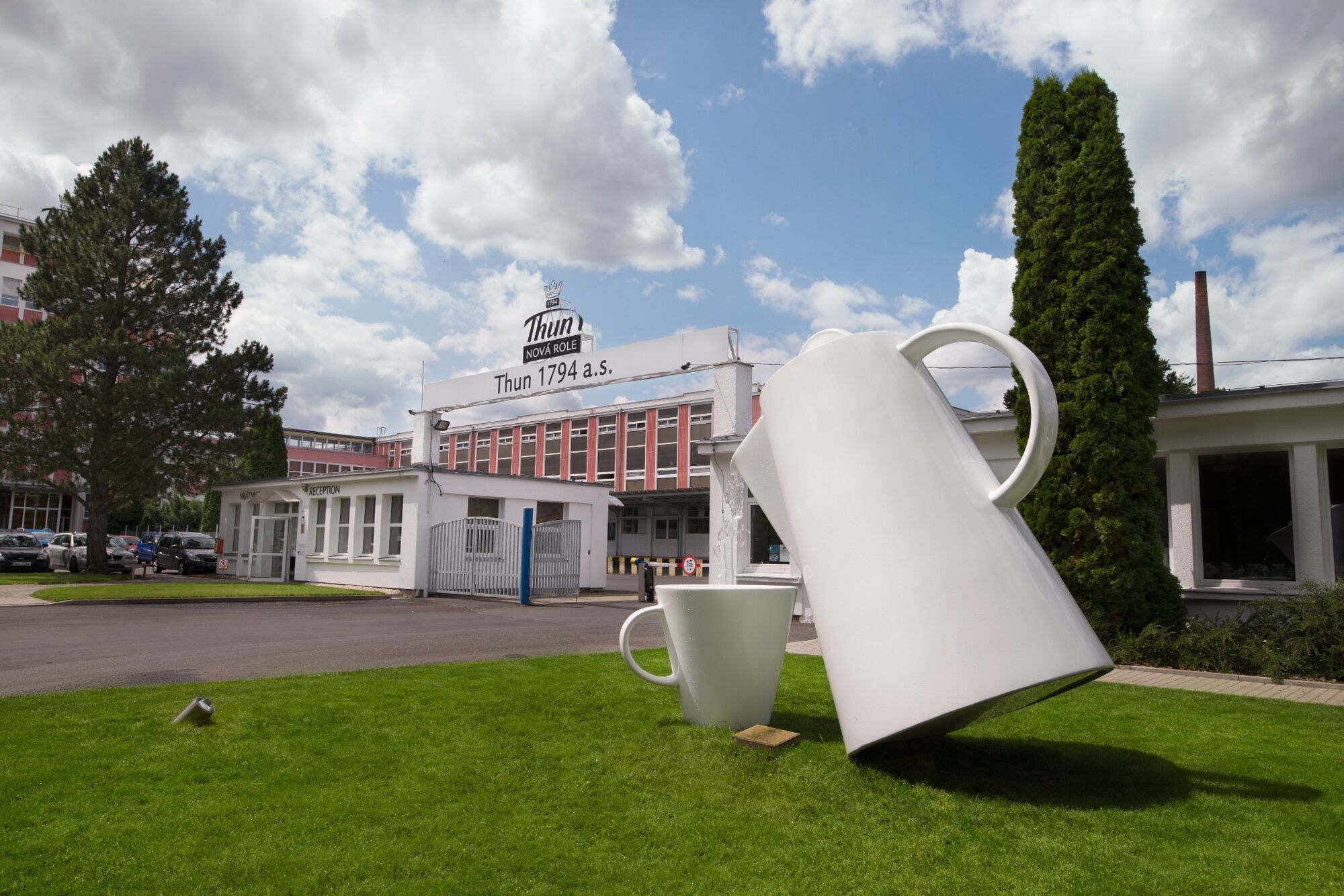
Nová Role (CZ): Porcelain factory
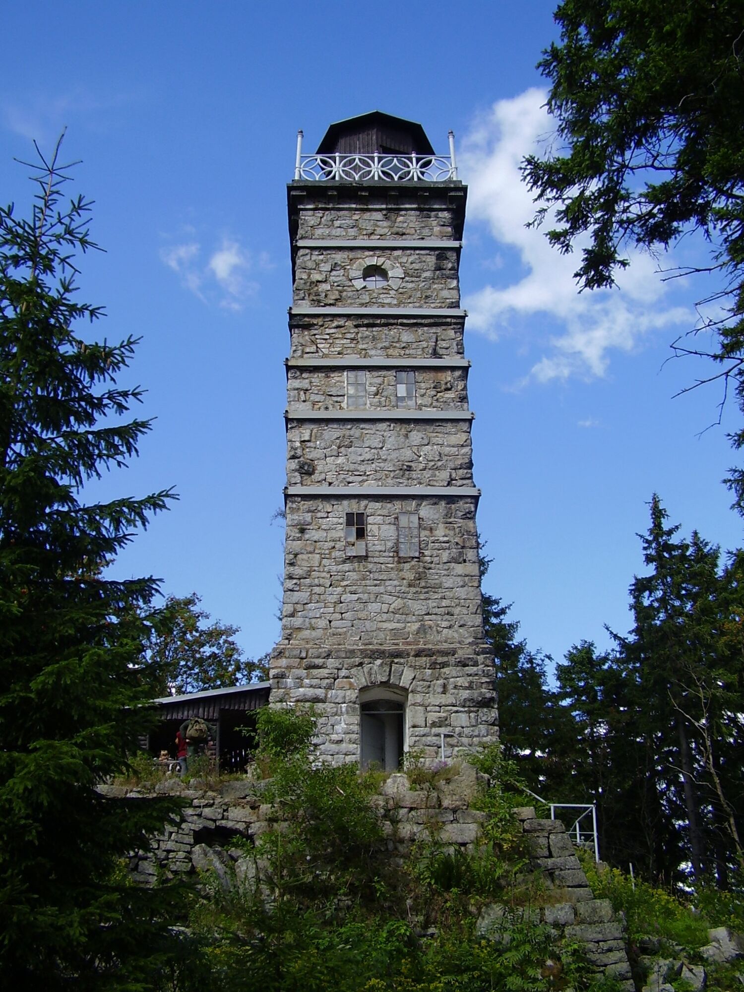
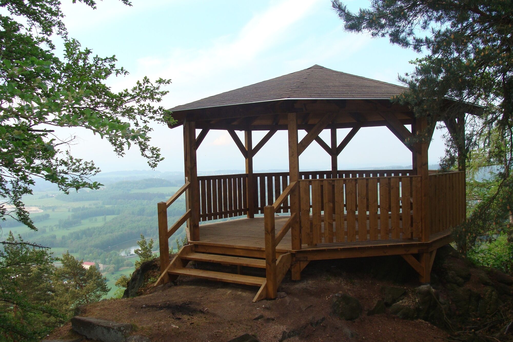
Nejdek (CZ): Observation tower on Peindlberg/Tisovský vrc (977 m above sea level)
Pernink (CZ): Observation tower on Perninský vrch (1,043 m above sea level)
Abertamy (CZ): Observation tower on Plešivec (1,028 m above sea level)
"Adrenalin park" on the Plessberg (with climbing forest, giant swing etc.)
Oberwildenthal/Wildenthal (DE): Historic post milestones
Blauenthal (DE): "Zimmersacher" Kneipp facility and Blauenthal waterfall
Bockau (DE): Historic railroad tunnel
Kamery internetowe z trasy
SkiArena Eibenstock Berg
SkiArena Eibenstock
Kammloipe - Schutzhütte Teichhäusel
Kammloipe - Flössweg
Milda - Mittelstation
Johanngeorgenstadt Loipenhaus
Skiarena Eibenstock Bergstation
Bad Schlema Kurhaus
Pernink
Eibenstock
Eibenstock
Hotel Thermal
Hotel Thermal
Hotel Thermal
Hotel Thermal
Hotel Thermal
Hotel Thermal
Hotel Thermal
Popularne wycieczki w okolicy
Rundwanderung Talsperre Sosa
światłoWędrówka 7,95 km- 2,0
Sosa Talsperre - Blauenthaler Wasserfall
ciężkiWędrówka 9,03 km Stoneman Miriquidi 162 kilometers of pure mountain bike emotion
ciężkiMountainbike 168,0 km- 5,0
Day route Ridge path 25 From Auersberg to the Carlsfeld dam and back
ciężkiWędrówka 20,4 km - 3,0
Erla-Crandorf circular hiking trail
średniWędrówka 6,95 km 50 km - loop of the Drei-Talsperren-Marathon Eibenstock
ciężkiMountainbike 50,3 km- 4,0
Small Crane Lake
średniWędrówka 8,11 km - 5,0
Carlsfeld dam circuit
światłoMountainbike 18,1 km RR ERZ T18 Large round tour Schwarzenberg - Johanngeorgenstadt - Fichtelberg
ciężkiJazda na rowerze 103,8 kmBermsgrün circular hiking trail
światłoWędrówka 5,17 km

Wędrówki i tropienie


Nie przegap ofert i inspiracji na następne wakacje
Twój adres e-mail została dodana do listy mailingowej.