







50 km - loop of the Drei-Talsperren-Marathon Eibenstock

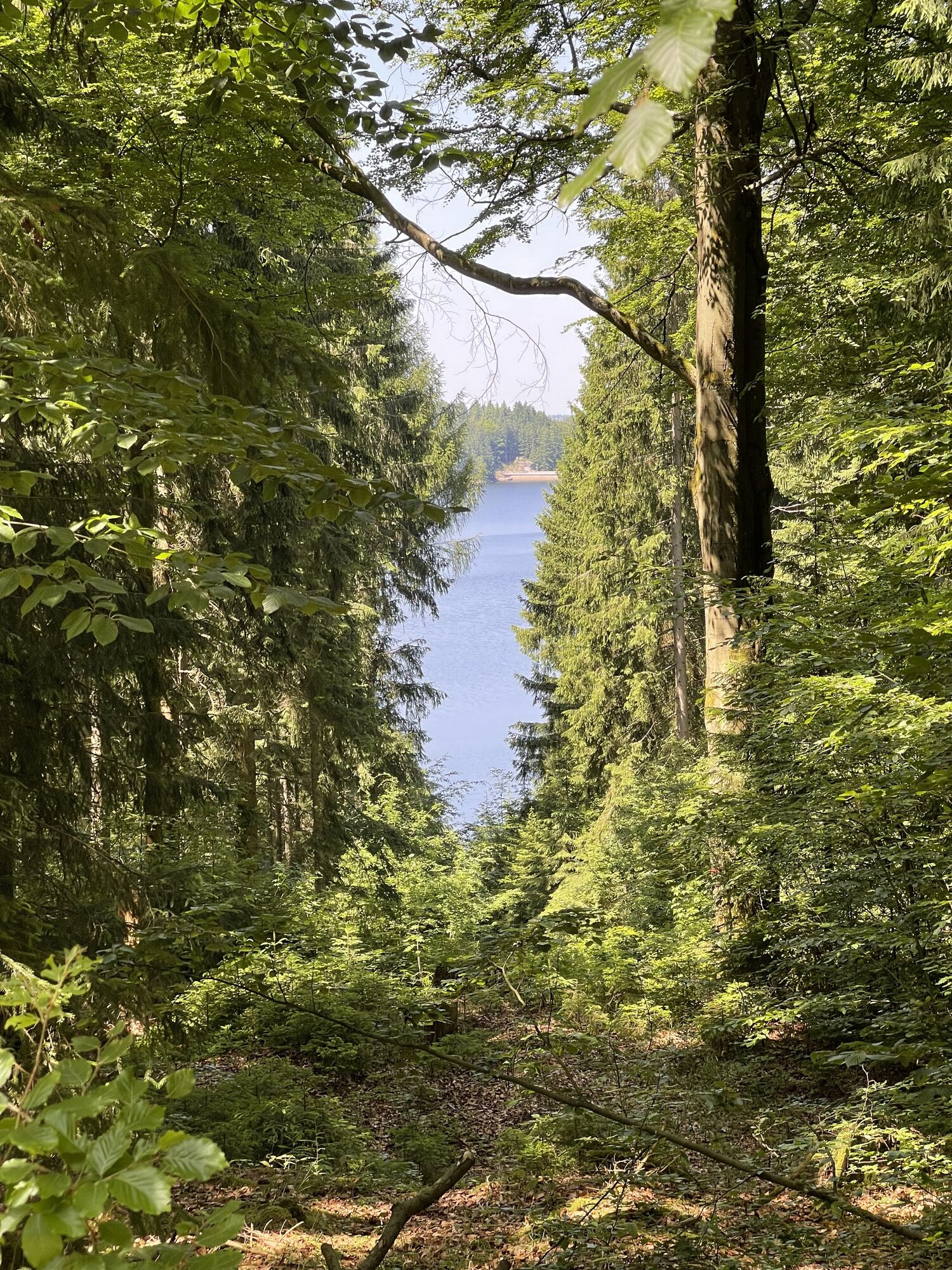
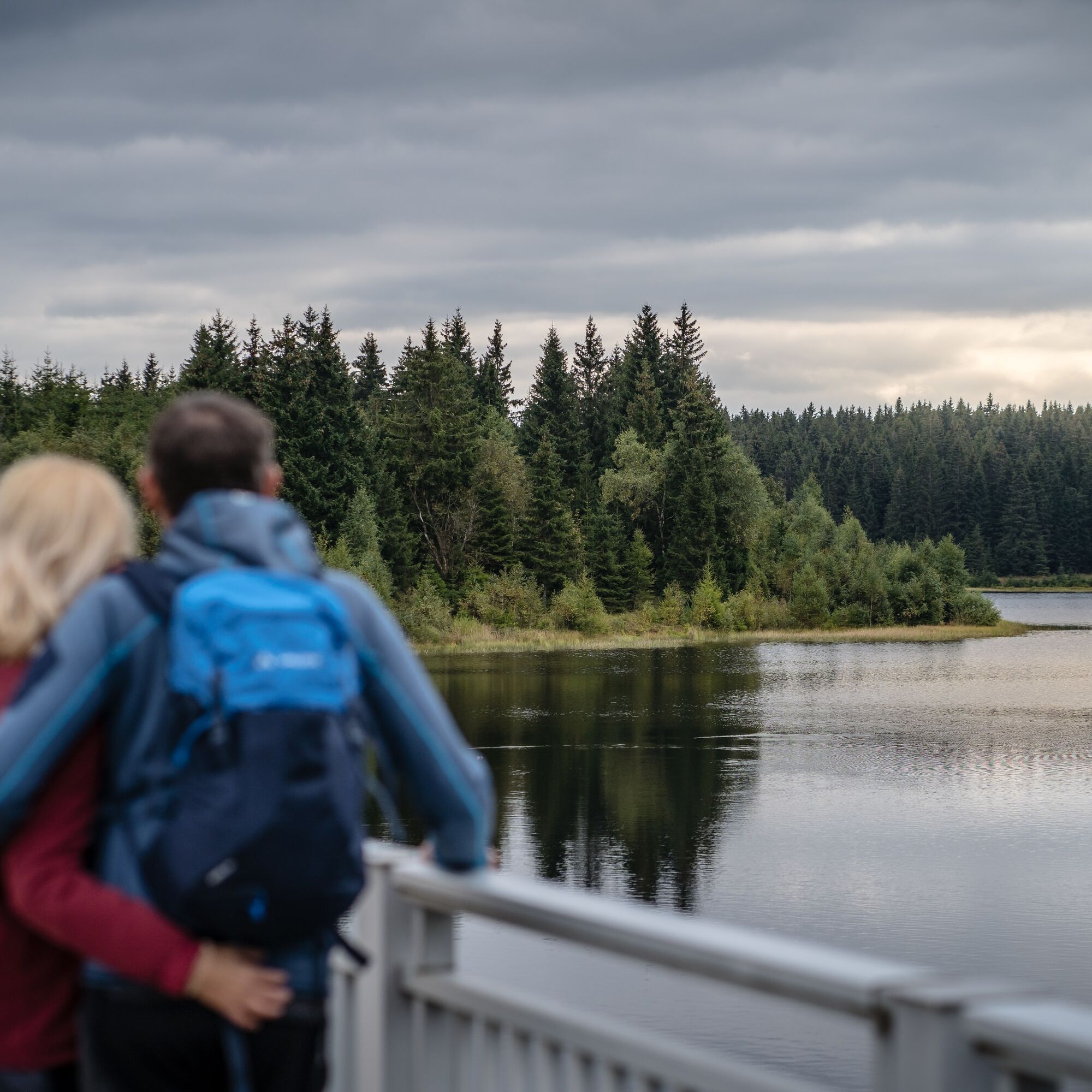
Combine sporting ambition with pure enjoyment of the countryside and take on the 50 km loop of the Three Dams Marathon. The highlight of the route is crossing the dam walls of the Carlsfeld, Sosa and Eibenstock...
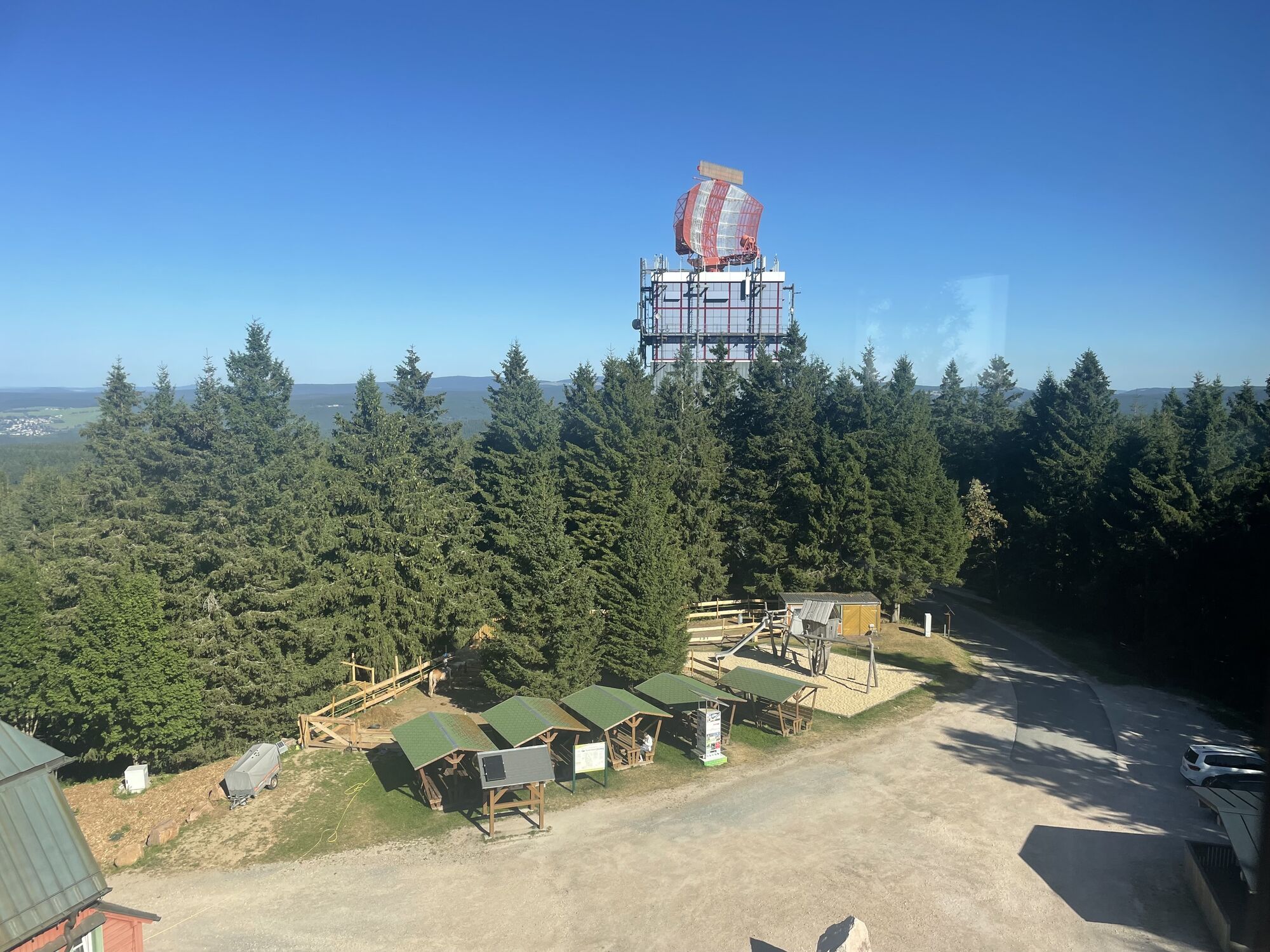
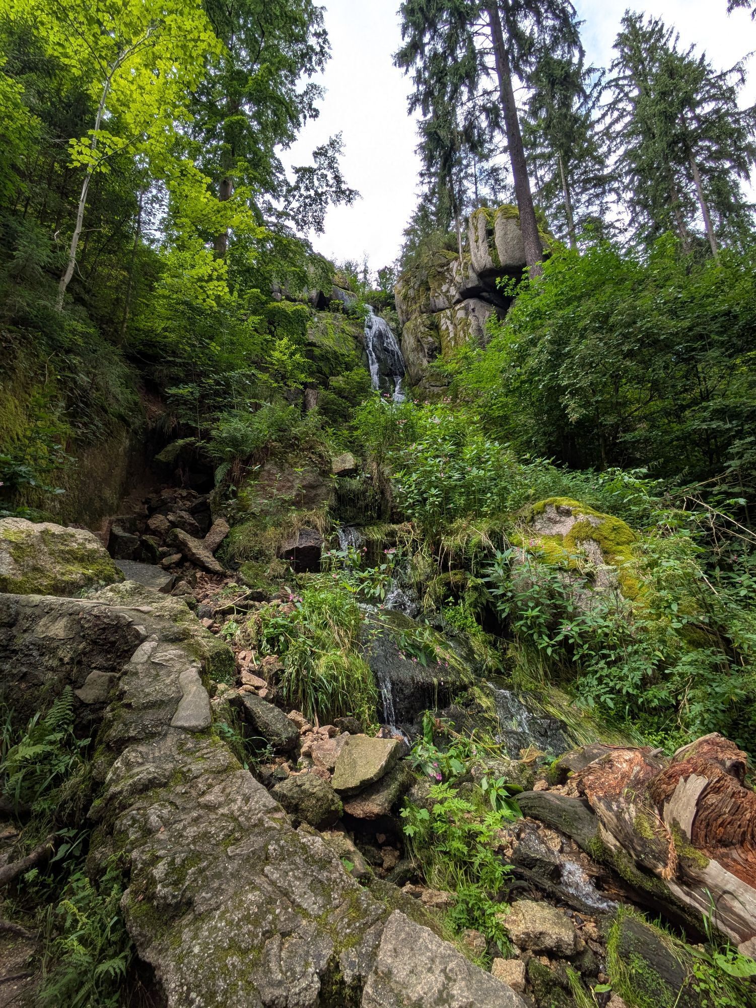
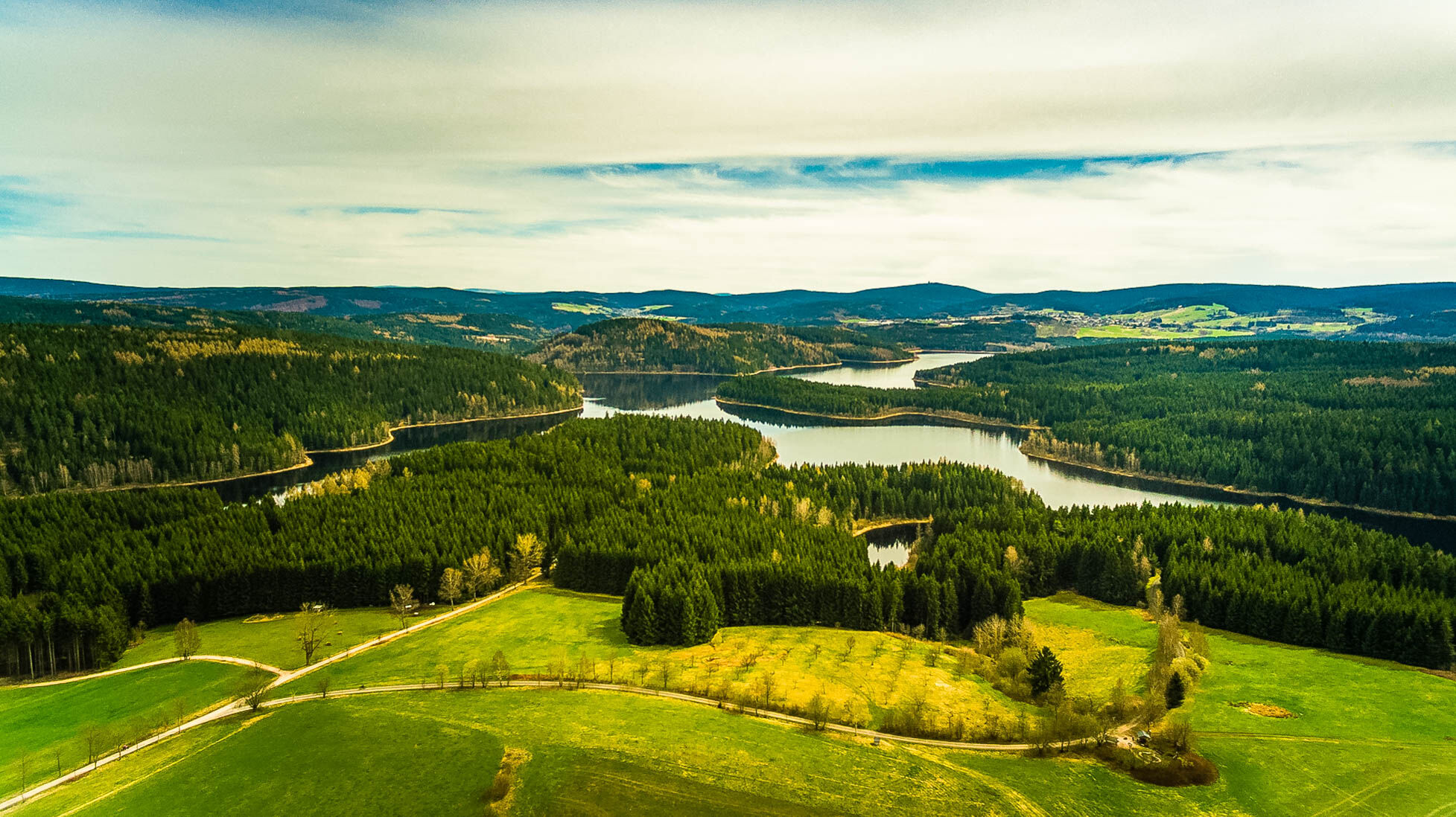
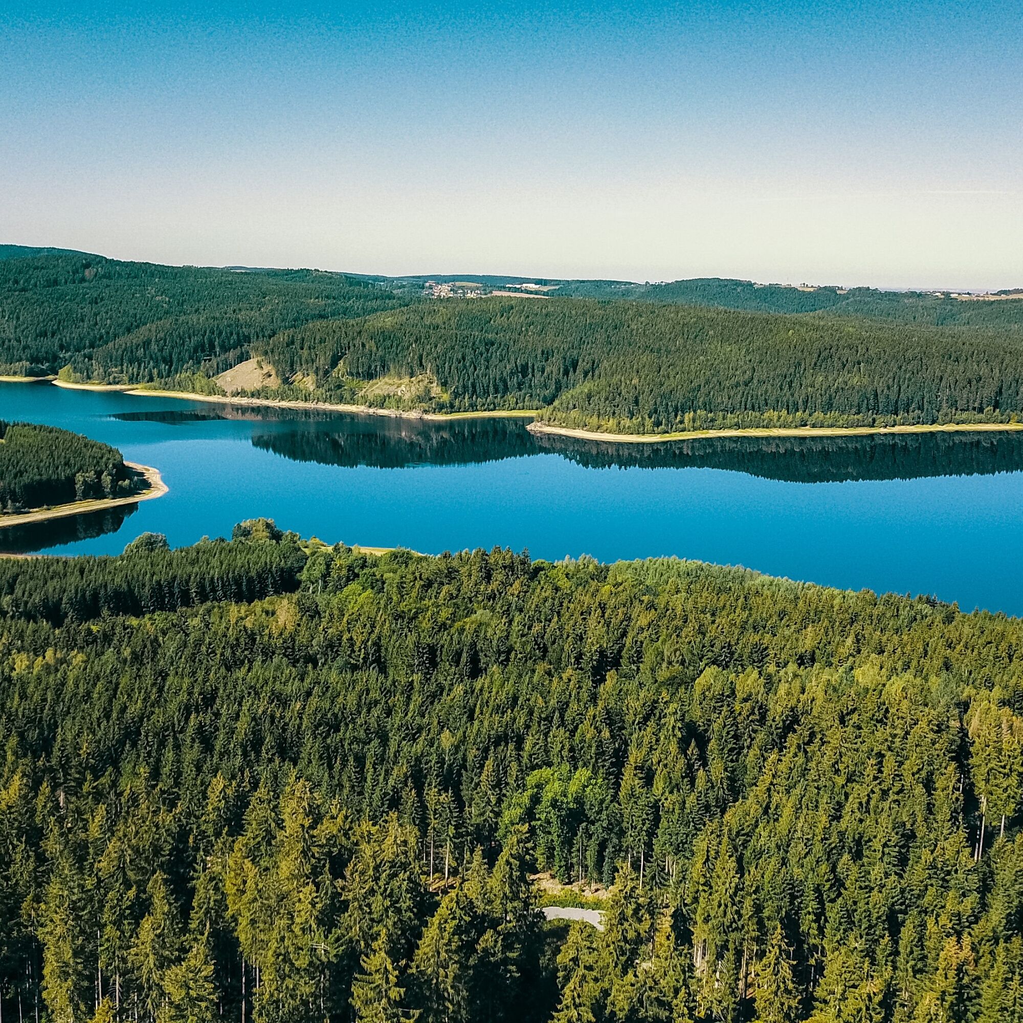
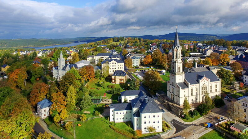
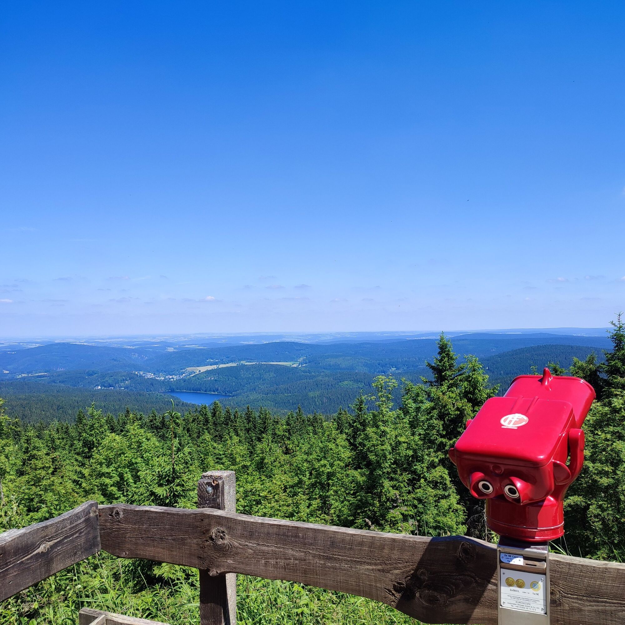
Combine sporting ambition with pure enjoyment of the countryside and take on the 50 km loop of the Three Dams Marathon. The highlight of the route is crossing the dam walls of the Carlsfeld, Sosa and Eibenstock reservoirs. Enjoy the view from the 1,018 m high Auersberg over the wooded mountains and valleys of the Westerzgebirge and take a break at the Blauenthal waterfall! Start at the Bretschneider sports facility in Eibenstock and follow the signs from there! You can download the GPS data from our website. About two thirds of the route is on paved forest paths, about one third on asphalt. However, there are also short unpaved sections.
Make a note
The Drei-Talsperren Marathon takes place in Eibenstock every 3rd Saturday in September. Cyclists can race against the clock over 30 km, 50 km or 100 km. Passion and emotion guaranteed in the most beautiful landscape. Information about the event on our website.


Marathonverein Eibenstock e. V.
Town hall square 1
08309 Eibenstock
Phone: + 49 37752 / 57-123
Fax: +49 37752 / 69844
E-mail address: marathonverein@eibenstock.de
Website: www.drei-talsperren-marathon.de
Service
The TourGuide (folding map with routes, tips for restaurants, accommodation and excursions) is available at the Tourist-Info Eibenstock.Getting there - places of interest:
Carlsfeld dam wall Sosa dam wall Eibenstock dam wall Blauenthal waterfall Auersberg summit with viewing tower Eibenstock bathing gardensKamery internetowe z trasy

Popularne wycieczki w okolicy
Rundwanderung Talsperre Sosa
światłoWędrówka 7,95 km- 4,0
Panorama trail Schwarzenberg
średniWędrówka 13,8 km - 5,0
At the Eibenstock dam / Hundshübler circular hiking trail
światłoWędrówka 4,61 km Stoneman Miriquidi 162 kilometers of pure mountain bike emotion
ciężkiMountainbike 168,0 km- 2,0
Sosa Talsperre - Blauenthaler Wasserfall
ciężkiWędrówka 9,03 km Segwayfahrt bei Eibenstock
światłoMountainbike 15,2 km- 5,0
Day route Ridge path 25 From Auersberg to the Carlsfeld dam and back
ciężkiWędrówka 20,4 km - 4,5
Small Crane Lake
średniWędrówka 8,11 km - 3,0
At the Eibenstock reservoir / Marienweg
średniWędrówka 8,64 km 30 km - Loop of the Three-Reservoir Marathon Eibenstock
średniMountainbike 33,4 km
Wędrówki i tropienie


Nie przegap ofert i inspiracji na następne wakacje
Twój adres e-mail została dodana do listy mailingowej.





