


Saaren National Park, Hämeen Ilvesreitti 3.5 km
In Saaren National Park, you can relax and hike in a Finnish national landscape; the park includes both a shallow swimming beach for relaxation and safe swimming for children and a deeper swimming area...
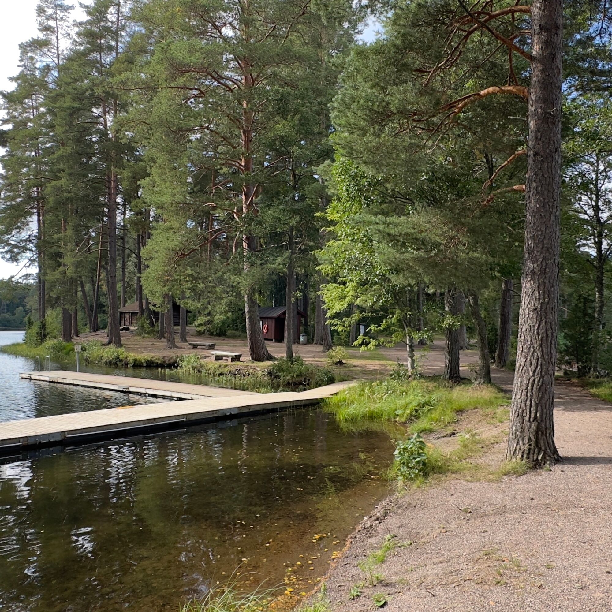
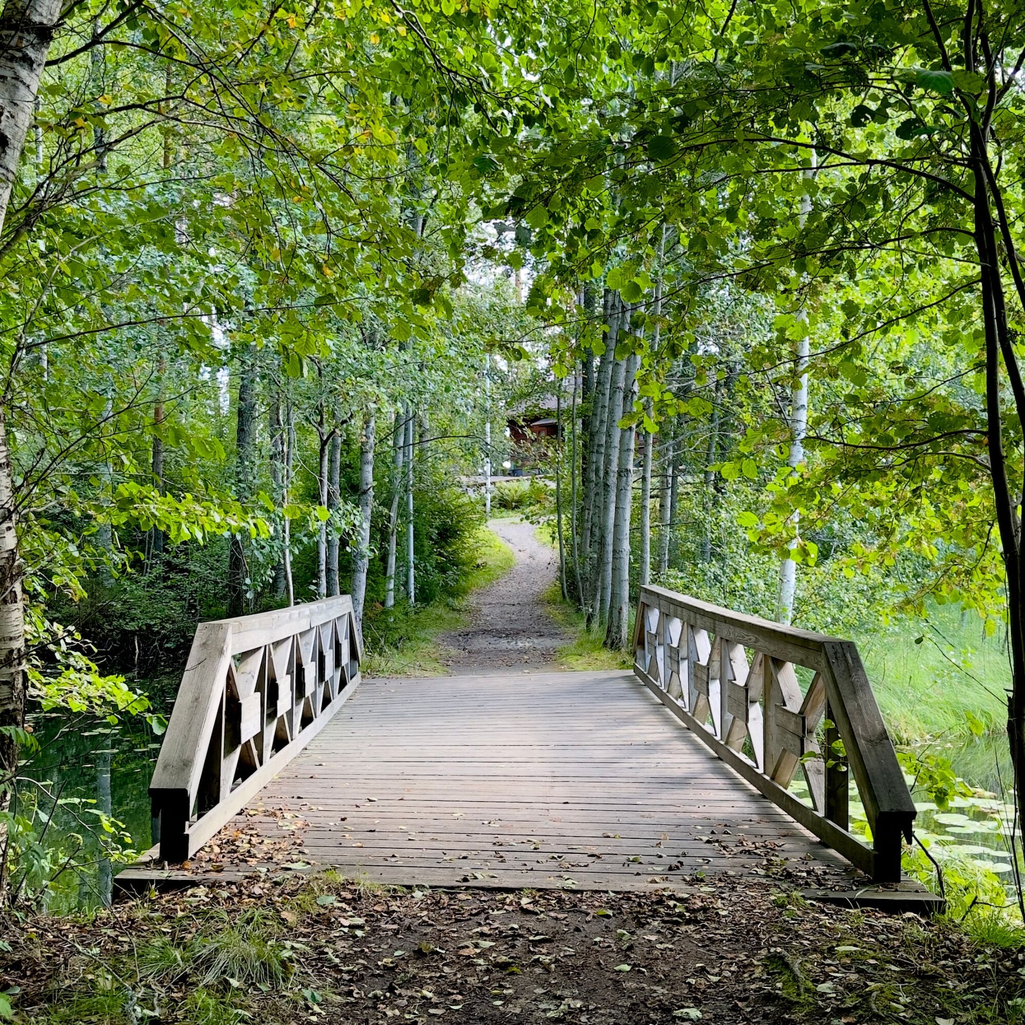
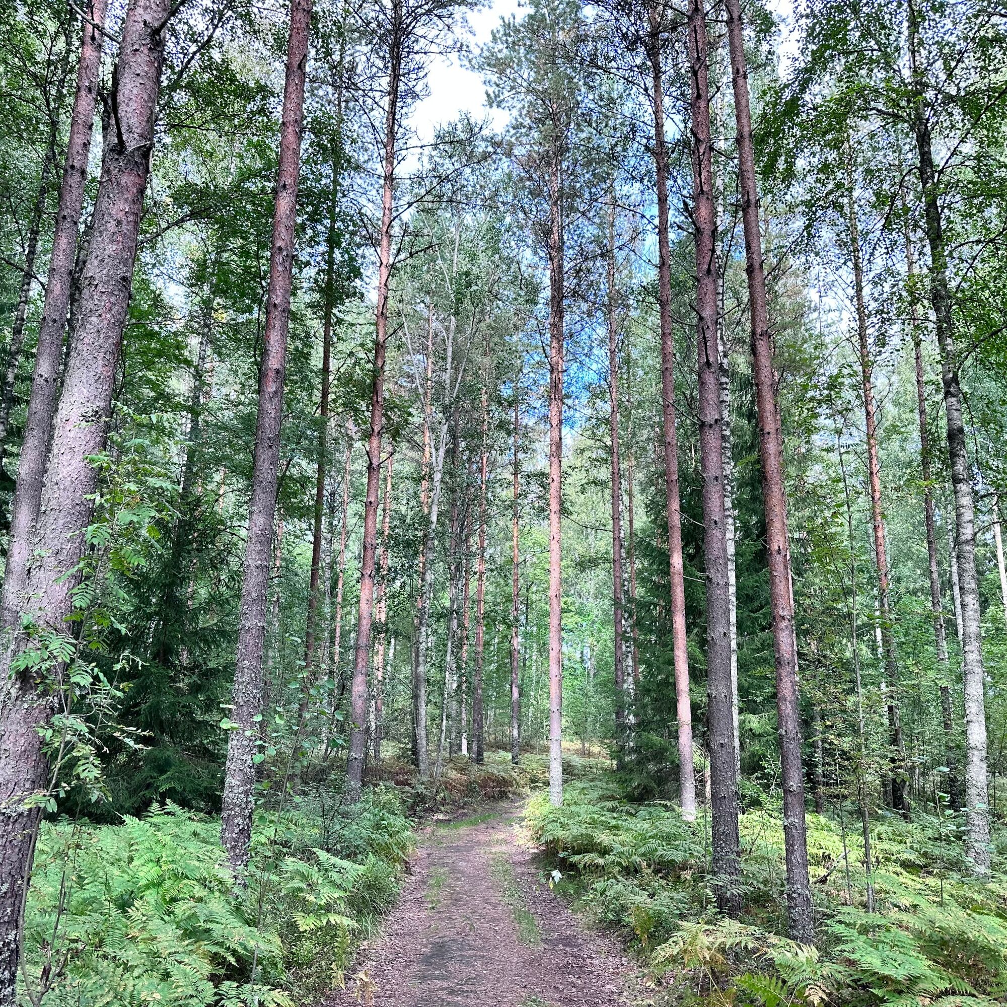
In Saaren National Park, you can relax and hike in a Finnish national landscape; the park includes both a shallow swimming beach for relaxation and safe swimming for children and a deeper swimming area with piers. Different length nature trails can be found in the region's forests and from the shores, you can access canoeing routes.
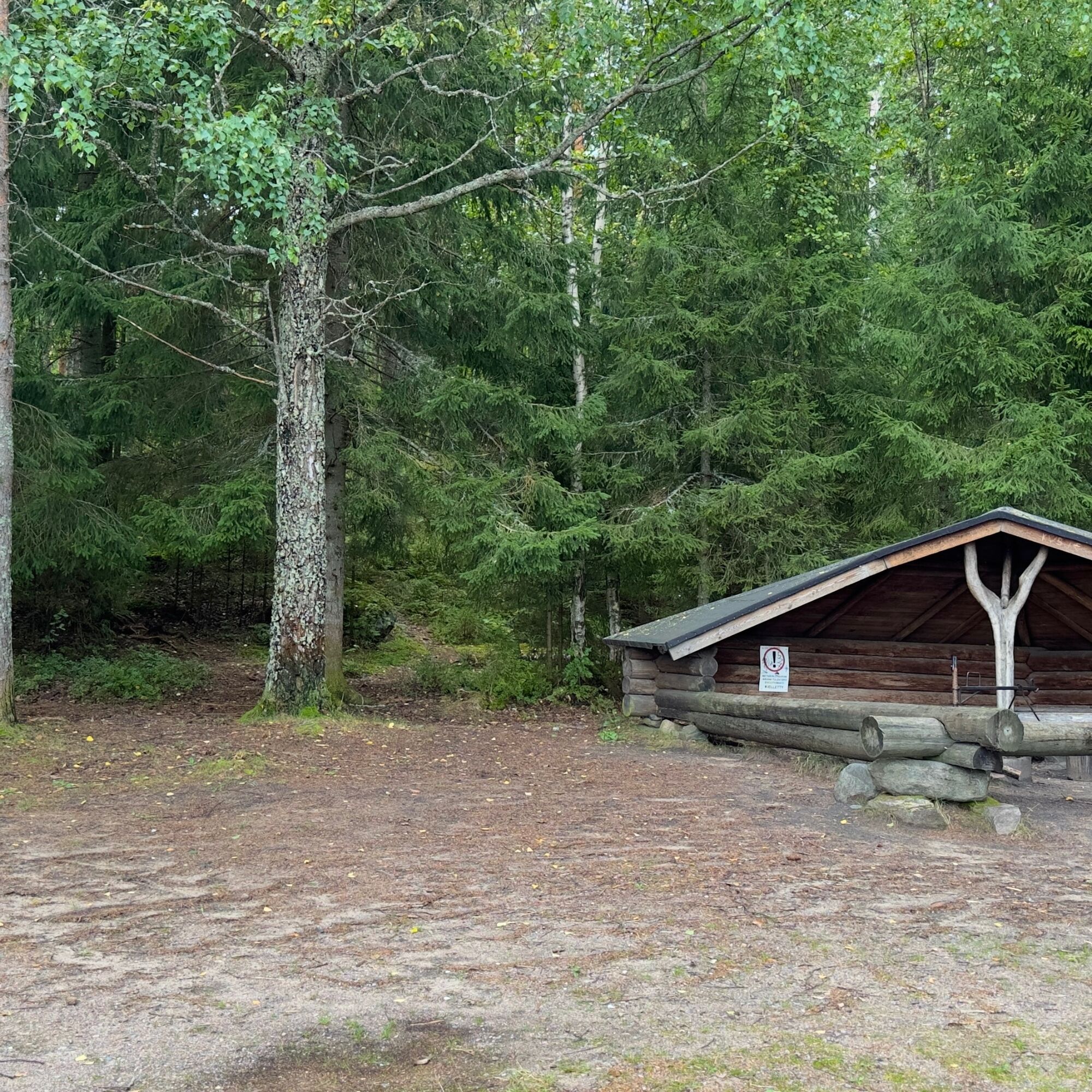
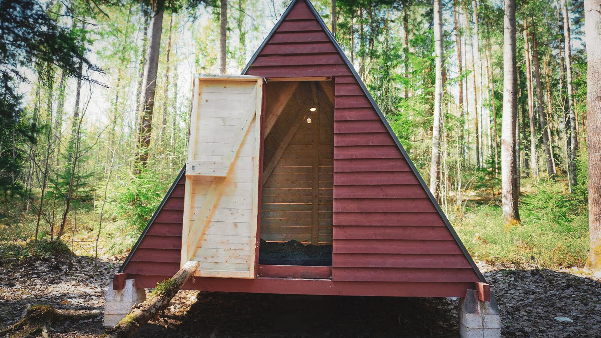
The traditional recreation and leisure spot, founded in 1932, offers beautiful and diverse nature, stunning views, and swimming beaches suitable for all ages. Saaren National Park has two campfire sites and dry toilets, a swimming beach, and a diving tower as well as free wooden tents for overnight campers where you can stay with the right of public access.

You can access the area by public transport by bus. From the Kansanpuisto P bus stop, it is a 250-meter walk to Saaren National Park.
The parking area's address is Portaantie 470, Tammela. There is plenty of space in the parking area and parking is free of charge.
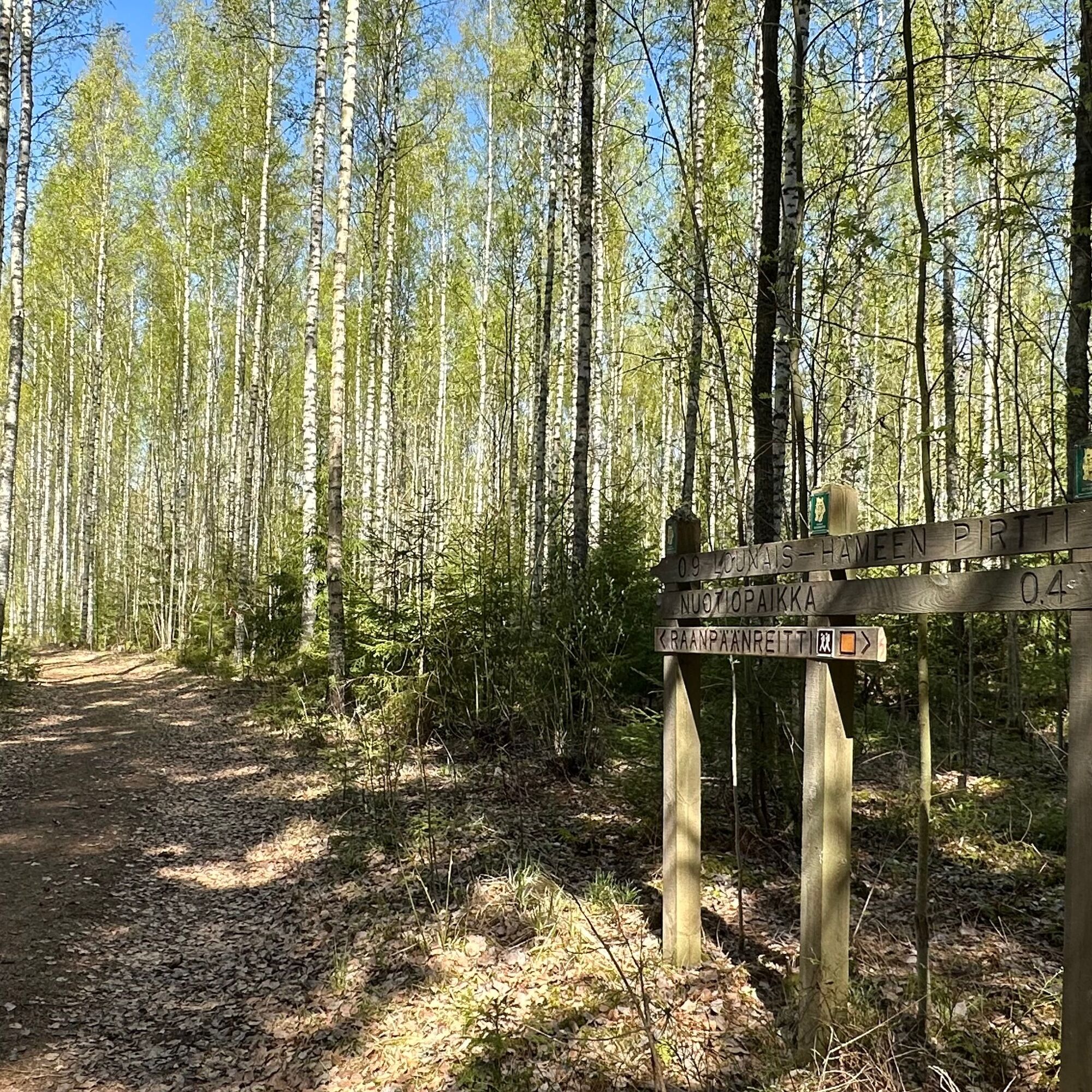
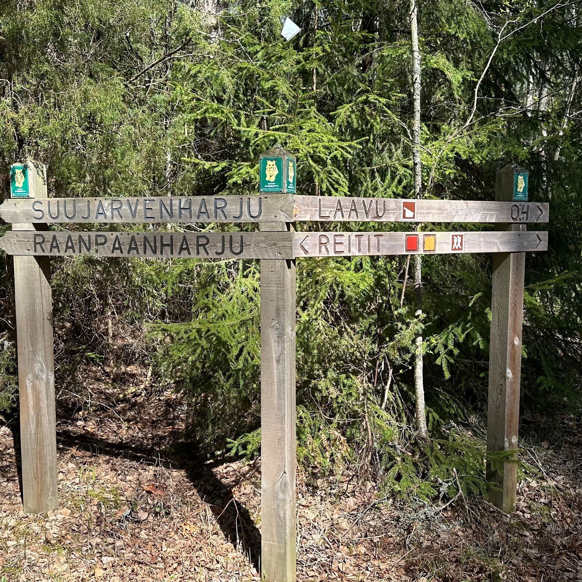
Behind the Raanpää lean-to, there are two wooden tents where hikers can take shelter from the rain or stay temporarily during their journey.
The Saaren Bridge was completed in 1923 to replace the bridge destroyed in the 1918 war. Next to the bridge, under the shade of trees, is the Grave of the Three Soldiers. According to tradition, three unknown soldiers who died in battle during the Great Wrath are buried here.
Popularne wycieczki w okolicy
Loimijoki paddling route
Kajak / Canoe 83,9 kmRuostejärvi - Saari Hämeen Ilvesreitti 14.3 km
ciężkiWędrówka 14,3 kmPääjärven kierto 7,5 km
średniWędrówka 7,32 kmKynnysniemen lenkki 4,5 km
średniWędrówka 4,38 kmHäme Lynx route Räyskälä-Pääjärvi 31.8 km
ciężkiMountainbike 31,1 kmHämeen Ilvesreitti Liesjärvi 19.6 km
średniMountainbike 19,4 kmHämeen Ilvesreitti Iso-Melkutin-Kaitajärvi 10.2 km
średniMountainbike 9,80 kmHäme Lynx route Kaitajärvi - Iso-Melkutin 6 km
Wędrówka 2,96 kmRuin Road 1.7 km Hämeen Ilvesreitti
światłoWędrówka 1,70 kmKivisammaljärvi circular route 2.6 km
światłoWędrówka 2,53 km

Wędrówki i tropienie


Nie przegap ofert i inspiracji na następne wakacje
Twój adres e-mail została dodana do listy mailingowej.