


Hämeen Ilvesreitti Liesjärvi 19.6 km
Poziom trudności: S2
The routes follow official cycling trails planned for the Metsähallitus National Park; this varied overall route includes needle trails, boardwalks, gravel roads, paved roads, and forest machine roads....
The routes follow official cycling trails planned for the Metsähallitus National Park; this varied overall route includes needle trails, boardwalks, gravel roads, paved roads, and forest machine roads. The route can be cycled using different route options either with a mountain or trekking bike.
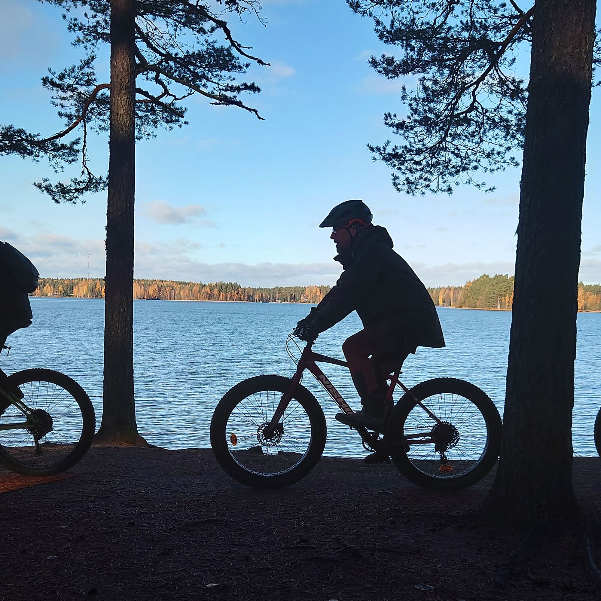
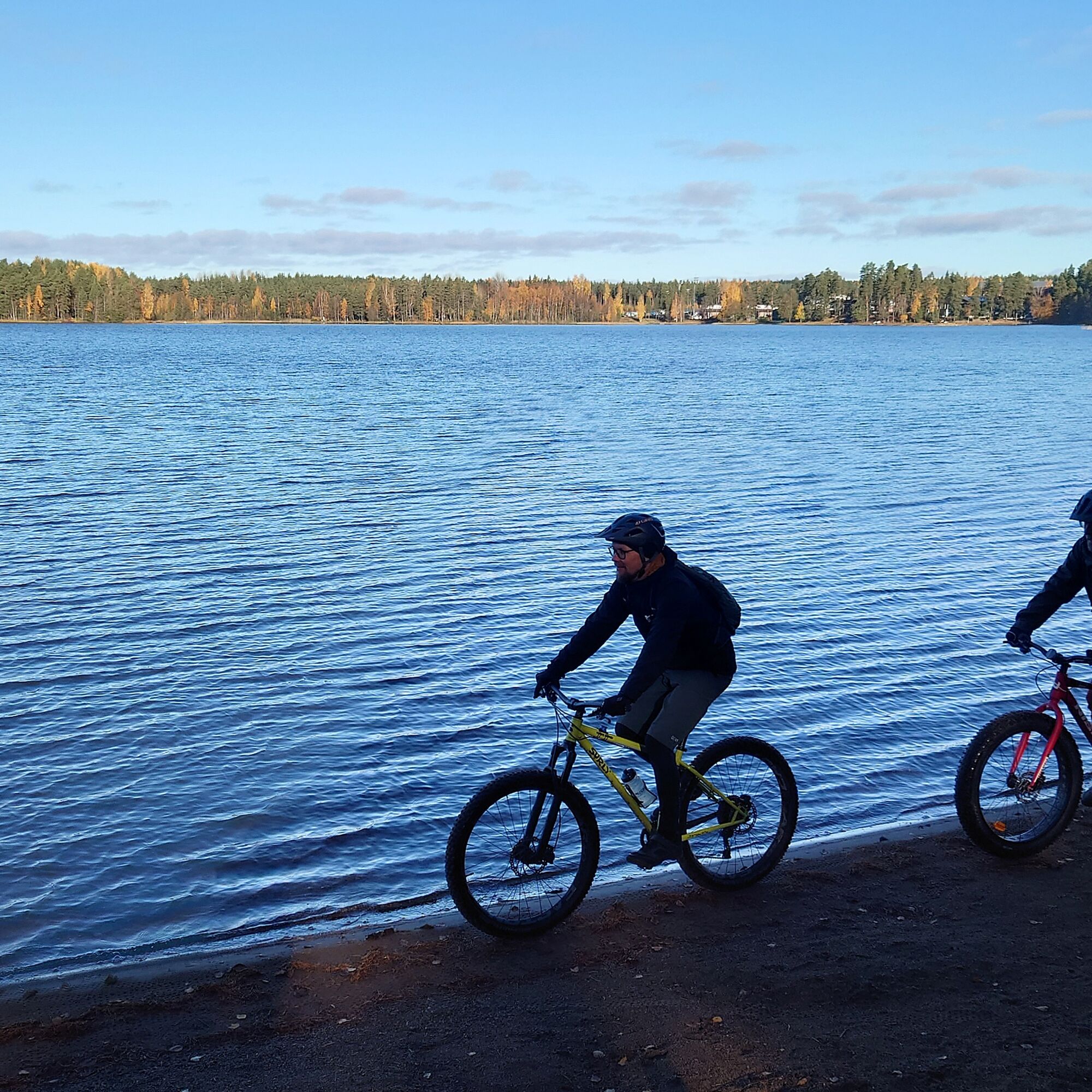
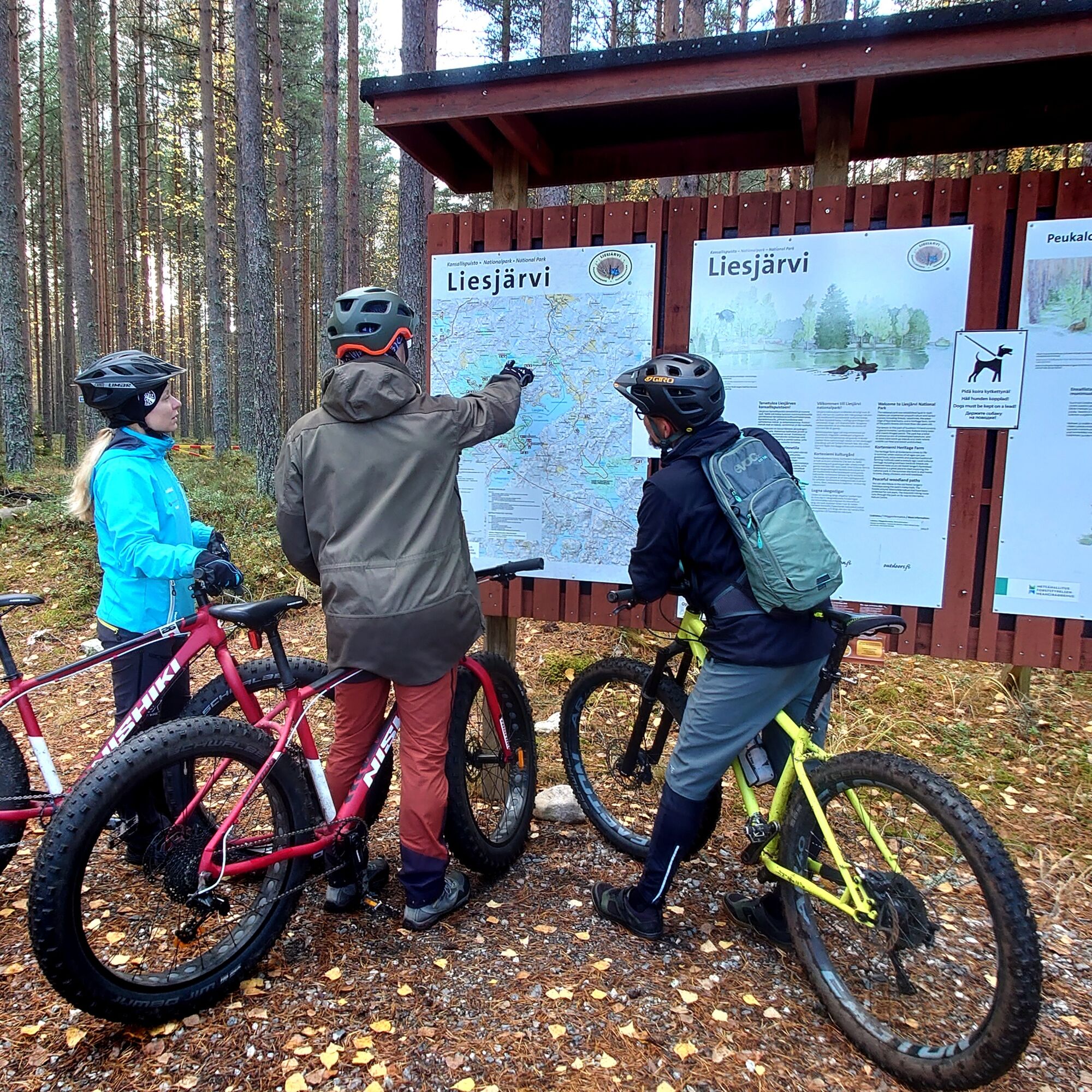
Eerikkilä Sport & Outdoor Resort has a restaurant, cafe, accommodation, many sports activities, and the possibility for renting, for example, mountain bikes and canoes. On the Liesjärvi National Park side, there are resting places where you can stop for a snack break and enjoy the tranquility of the national park. Within a suitable walking distance, there is also the Tittilampi lean-to shelter, the Kaksvetinen kota, and the Peukalolampi lean-to shelter. At the other end of the route on the shore of Liesjärvi is the Wilderness Centre Koivu ja Kuusi, which offers delicious home-cooked lunches on Saturdays. At the same time, you can explore the history of Finnish mopeds at the Mopo Museum.
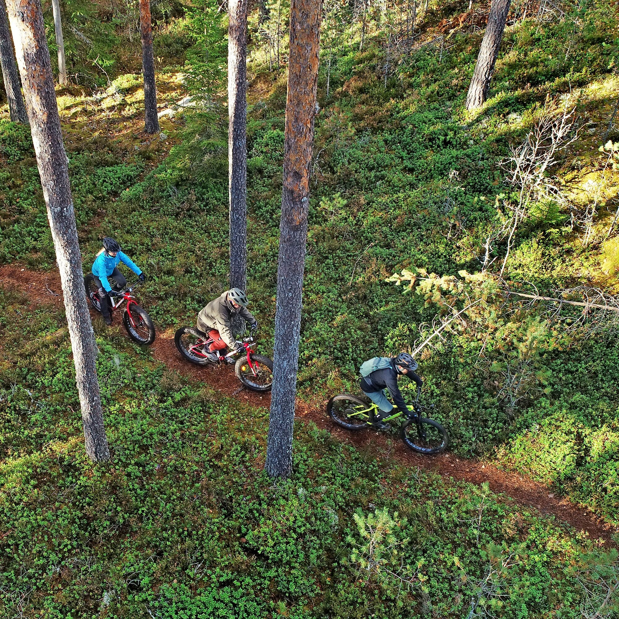
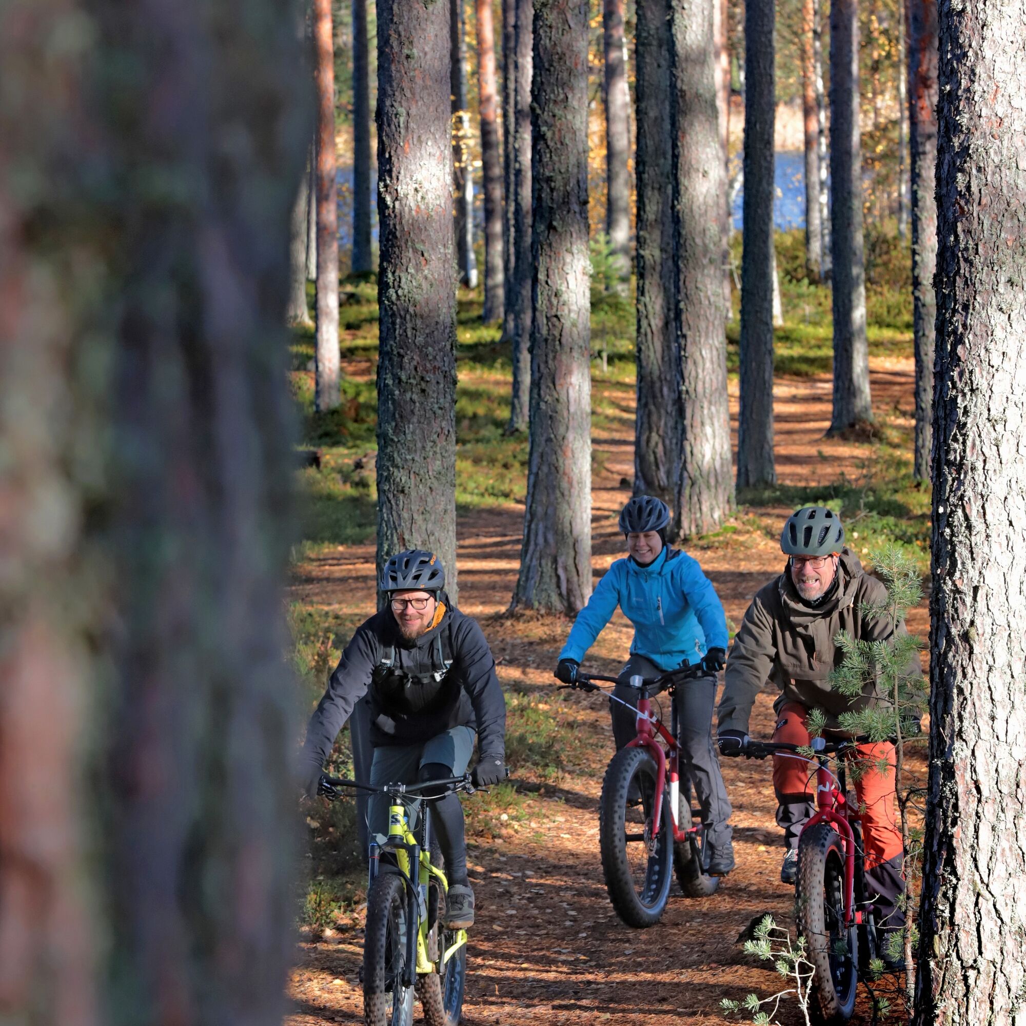
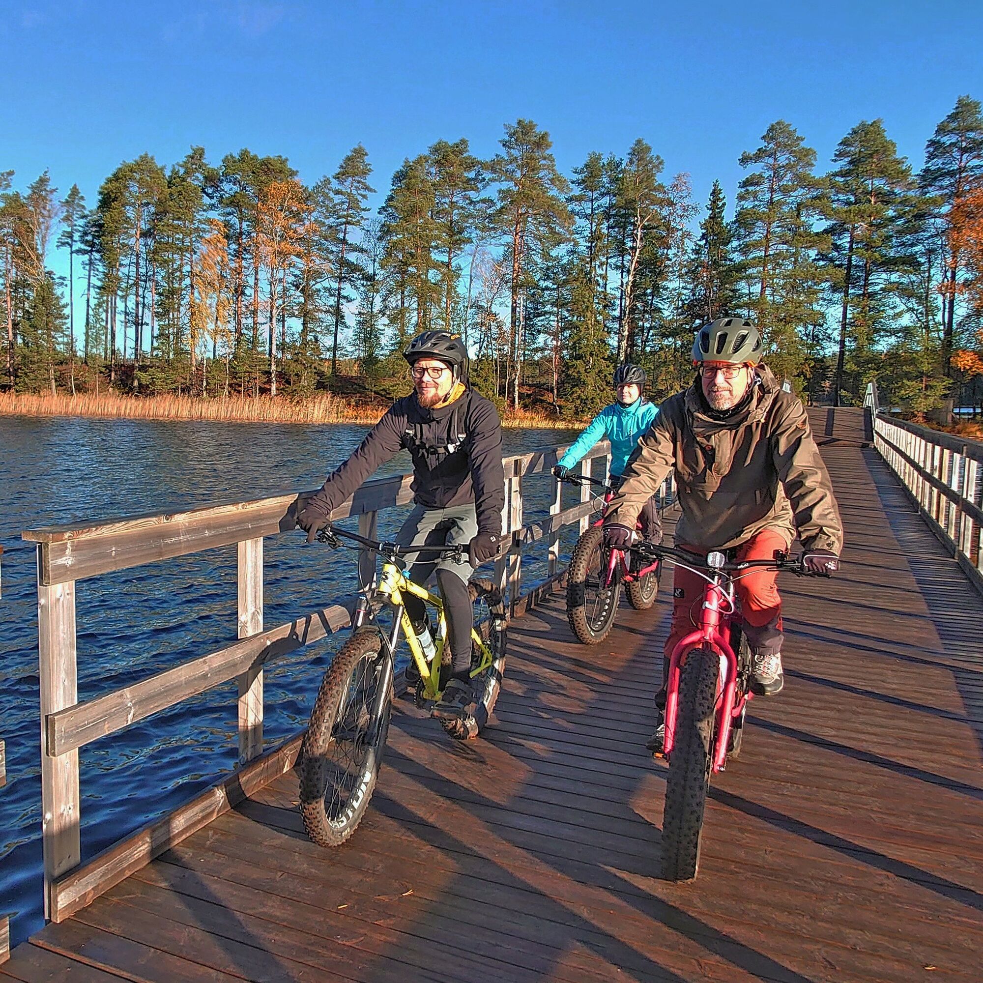
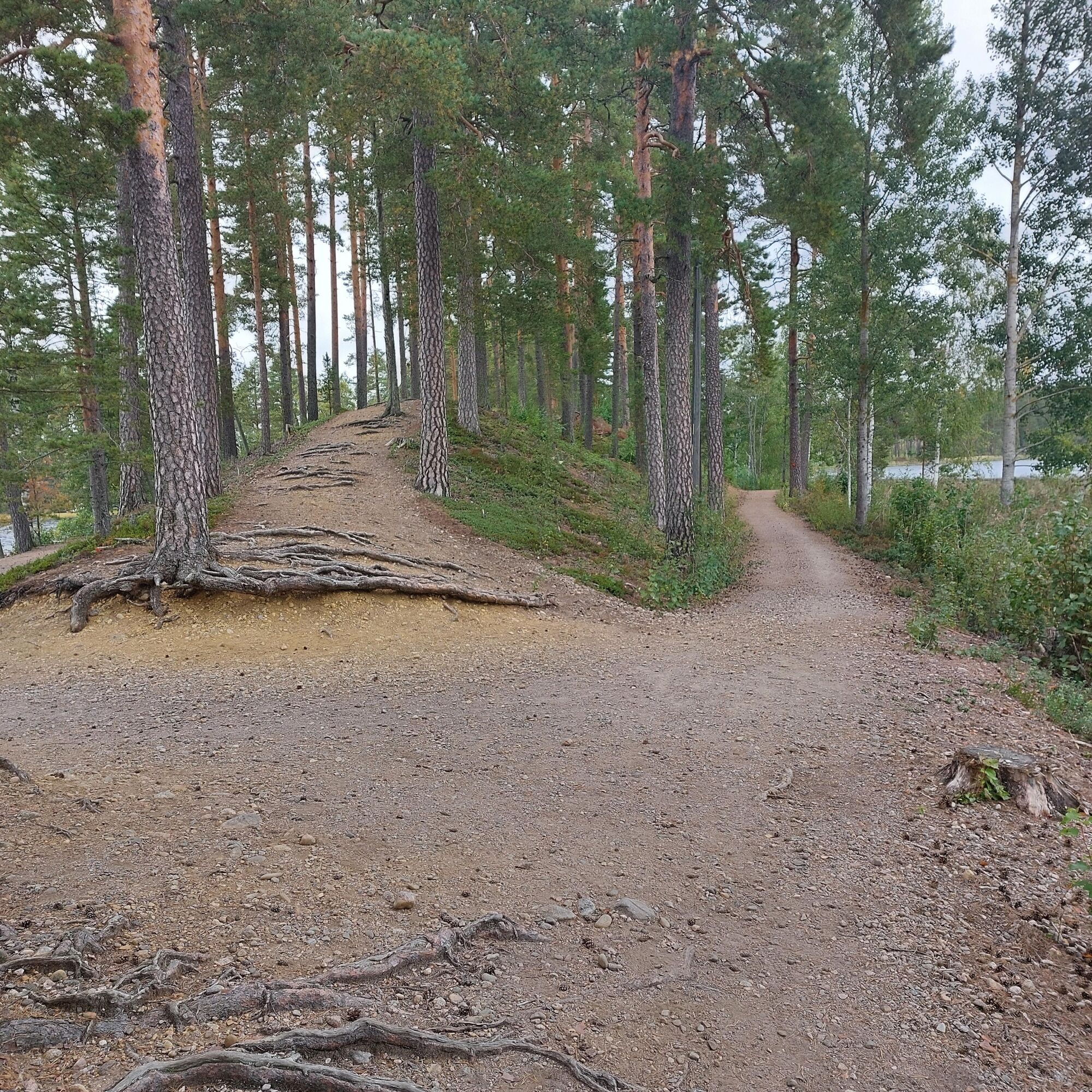
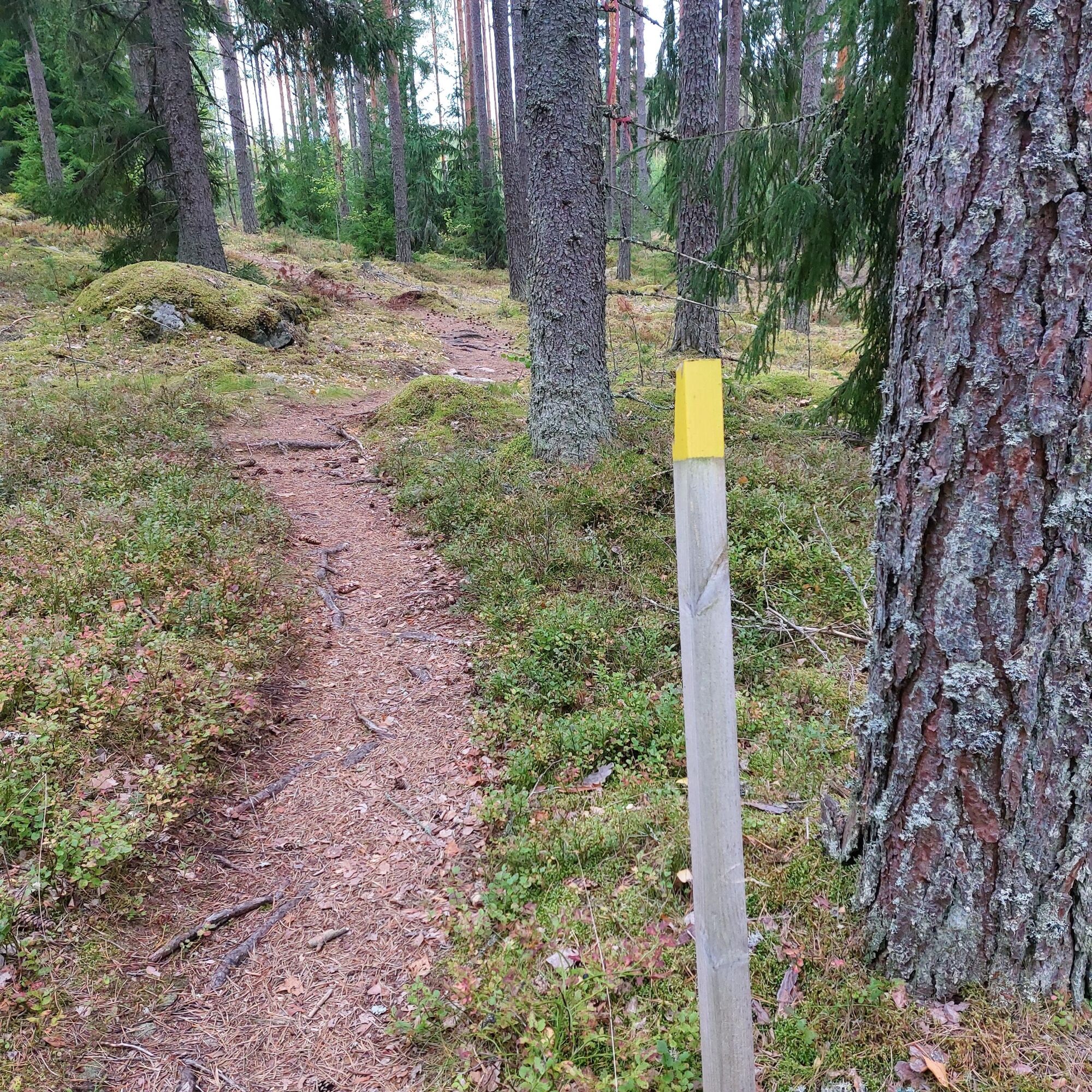
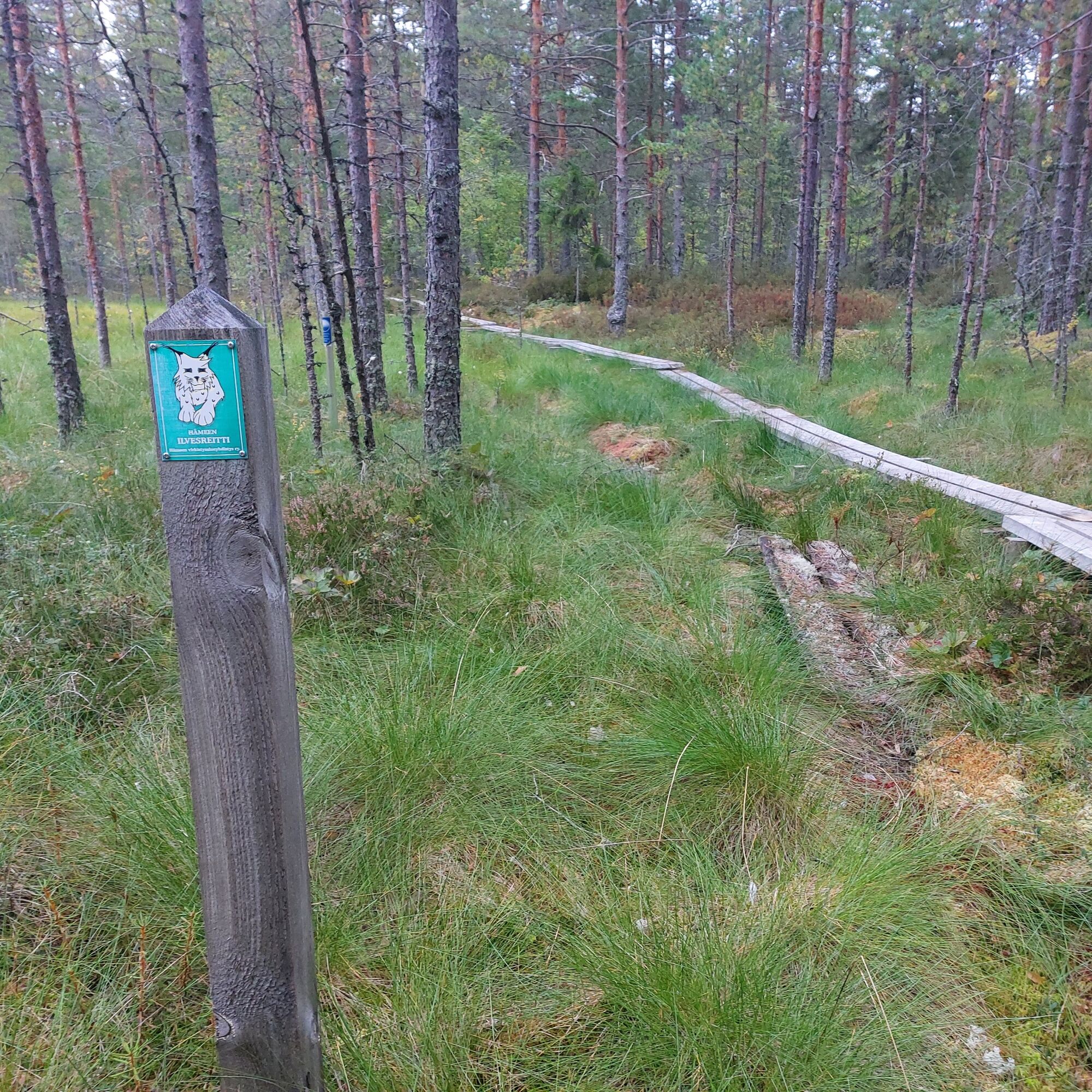
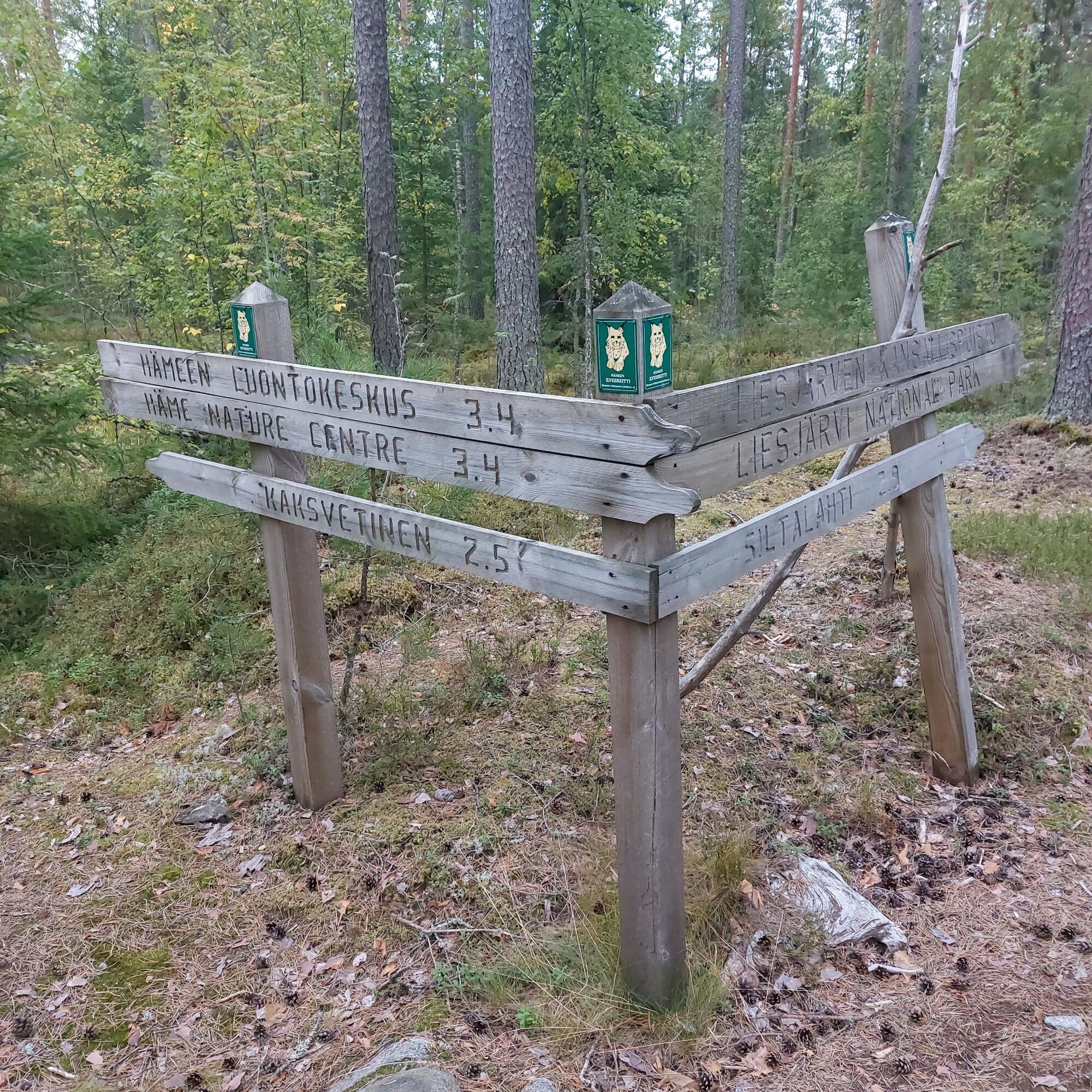
Start from the parking lot of Eerikkilä Sport & Outdoor Resort, from where the route leads along a needle path to the magnificent ridge landscapes of Ruostejärvi. After the ridge section, you cross the Kurjenniemi bridge built in 2019, from which the needle path continues towards Villa Erik Nature Center. After Villa Erik, turn left onto Härkätie and continue about 150 m, then turn right onto a small road; after a short distance, signs for Ilvesreitti appear on the right, from where a path leads toward Liesjärvi. From here begins the Ilvesreitti trail section, which connects to the area of Liesjärvi National Park established in 1956. Near the wilderness of Sammalsuo at the end of the path, there is a boardwalk section about 200 m long. After the path ends, you come to the intersection of Katavalmmi road, where you continue right toward Kaksvetinen. Katavalmmi road is an easy old roadbed with two separate resting places with picnic tables along the way, as well as the possibility to stop at Tittilampi lean-to, Kaksvetinen kota, or Peukalolampi lean-to. At the end of the road, turn left onto Kantelus road toward Karjusilta and the Wilderness Centre. After Liesjärvi, turn back, and after the hill at Karjusilta, the road splits to the right onto Kukkoharjuntie. From here begins a gravel road section that continues all the way to Ruostejärvi. After the end of Kukkoharjuntie, turn right again along Härkätie; about 180 m ahead on the left side of the road, a nature trail branches off back to Eerikkilä institute. The route meanders through dry land near the shore of Ruostejärvi and through the frisbee golf course. Soon you will reach the parking lot of the sports institute.
Tak
Rent a bike from Eerikkilä
The boardwalks at Sammalsuo can be slippery depending on the weather; walking the bike is recommended for everyone except experienced mountain bikers.
Eerikkilä is located in the municipality of Tammela and the address for the navigator is Urheiluopistontie 138, Tammela.
Arrival by private car via highway 2, turn onto Härkätie and after about 3 km turn left onto Urheiluopistontie.
Arrival from the Hämeenlinna direction via road 10, turn right onto road 54, next turn onto Härkätie, then again onto Urheiluopistontie.
The nearest express bus stop is along the Helsinki-Pori road (VT2) and can be found in Matkahuolto's timetable search under the name “Eerikkilä th”. It is 3 km from the stop to the Sports Institute.
Parking at the parking lot of Eerikkilä Sports Institute.
S2
eerikkilä.fi
luontoon.fi
info.gis/hame
The destination also serves as a good route cycling spot. When returning from Kukkoharju, you can also cycle back along Katavalmmi road to Kukkoharjuntie. This way you can bypass the trail sections and the boardwalks at Sammalsuo.
Additional tip:
After Katavalmmi road, when turning right onto Kantelus road, you reach the famous Kyynärharju of Liesjärvi National Park, from which a cycling route leads towards the Korteniemi heritage farm.
Popularne wycieczki w okolicy
Kivijärvi circular route 27 km (Hämeen Ilvesreitti)
ciężkiWędrówka 28,4 kmSaaren National Park, Hämeen Ilvesreitti 3.5 km
Wędrówka 3,45 kmRuostejärvi - Saari Hämeen Ilvesreitti 14.3 km
ciężkiWędrówka 14,3 kmKynnysniemen lenkki 4,5 km
średniWędrówka 4,38 kmHäme Lynx route Räyskälä-Pääjärvi 31.8 km
ciężkiMountainbike 31,1 kmHämeen Ilvesreitti Iso-Melkutin-Kaitajärvi 10.2 km
średniMountainbike 9,80 kmHäme Lynx route Kaitajärvi - Iso-Melkutin 6 km
Wędrówka 2,96 kmKivisammaljärvi circular route 2.6 km
światłoWędrówka 2,53 kmSaaren kansanpuiston harjureitti 2,5km
Wędrówka 2,51 kmVaellusreitti Liesjärvi 16,1km
ciężkiWędrówka 16,7 km

Wędrówki i tropienie


Nie przegap ofert i inspiracji na następne wakacje
Twój adres e-mail została dodana do listy mailingowej.