





Lake Aulanko trail 6 km

Aulanko, its park forest attractions, several outdoor routes, and beautiful national landscapes have attracted tourists to Aulanko for over a hundred years. The route around Lake Aulanko runs through a...
Aulanko, its park forest attractions, several outdoor routes, and beautiful national landscapes have attracted tourists to Aulanko for over a hundred years. The route around Lake Aulanko runs through a Finnish national landscape. The route is marked with yellow paint marks ð¡
The paths on the route are easy to walk and mostly wide. Along the way, there is one set of stairs and duckboards.
At the halfway point, above the stairs, there is a toilet. Bringing your own toilet paper is advisable.
Practice litter-free hiking and take with you what you brought.
The water of Lake Aulanko is quite clear. Ice fishing and fishing with a rod are allowed by everyman’s right. Lure fishing is permitted with a fishery management fee, which you can purchase at: ostaluvat.fi. Read more about fishing in Lake Aulanko here.
The path runs along Sibelius’ forest nature trail on the east side of Lake Aulanko. Stop along the way to read about the area's vegetation and the sources of Sibelius' inspiration.

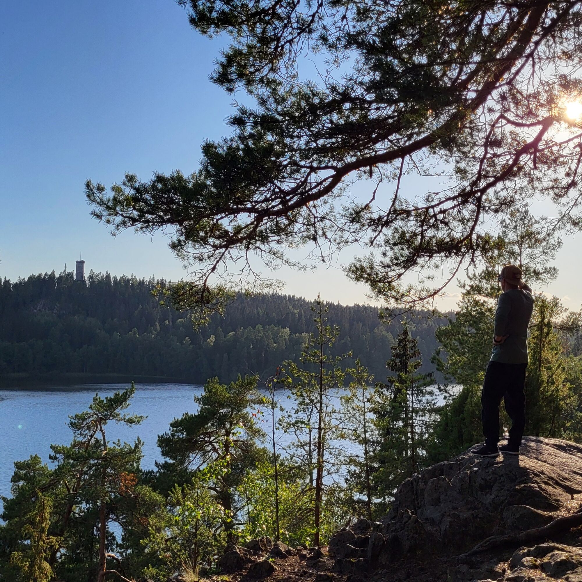

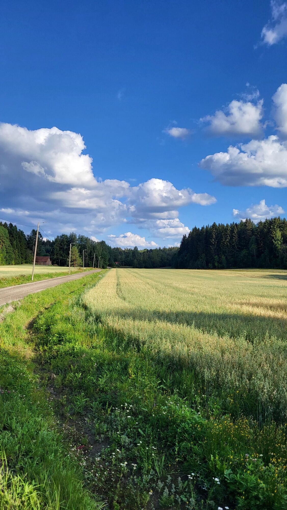
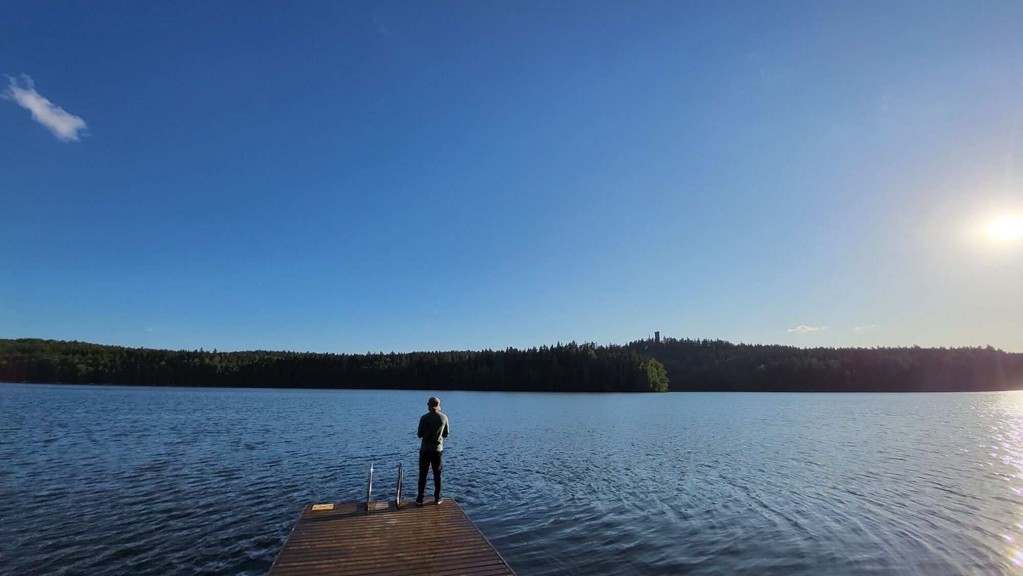
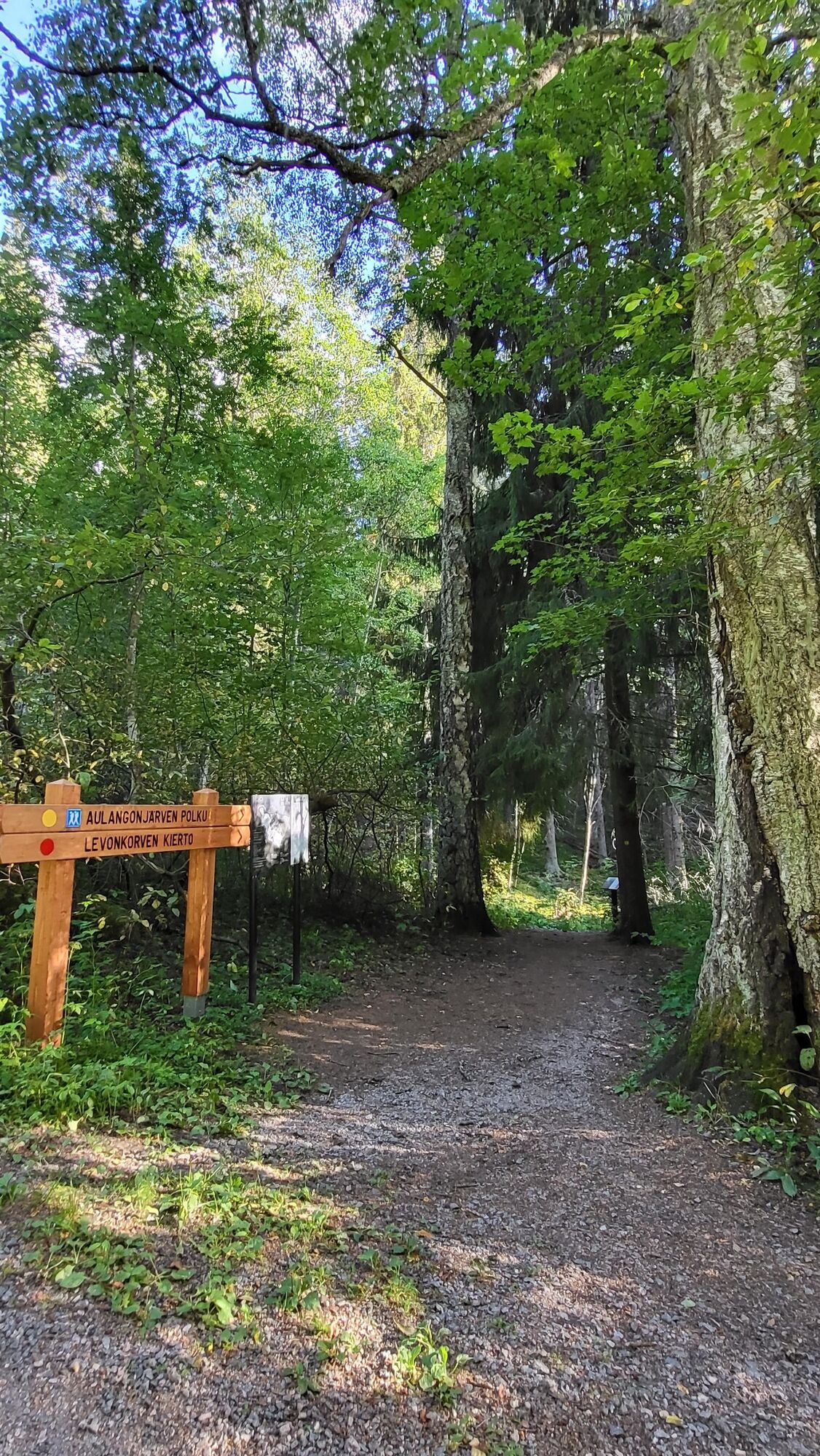
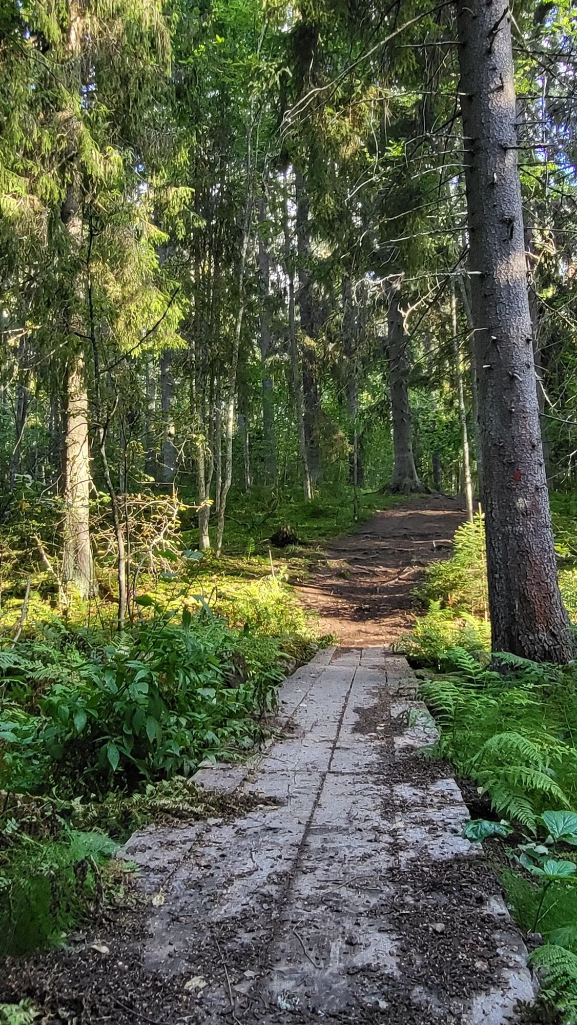
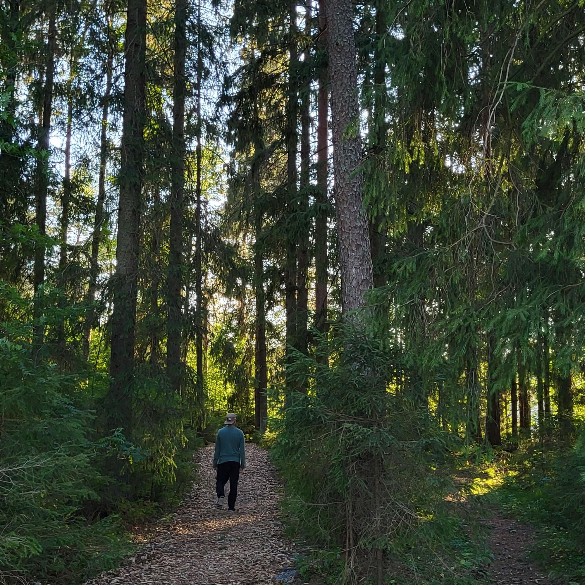
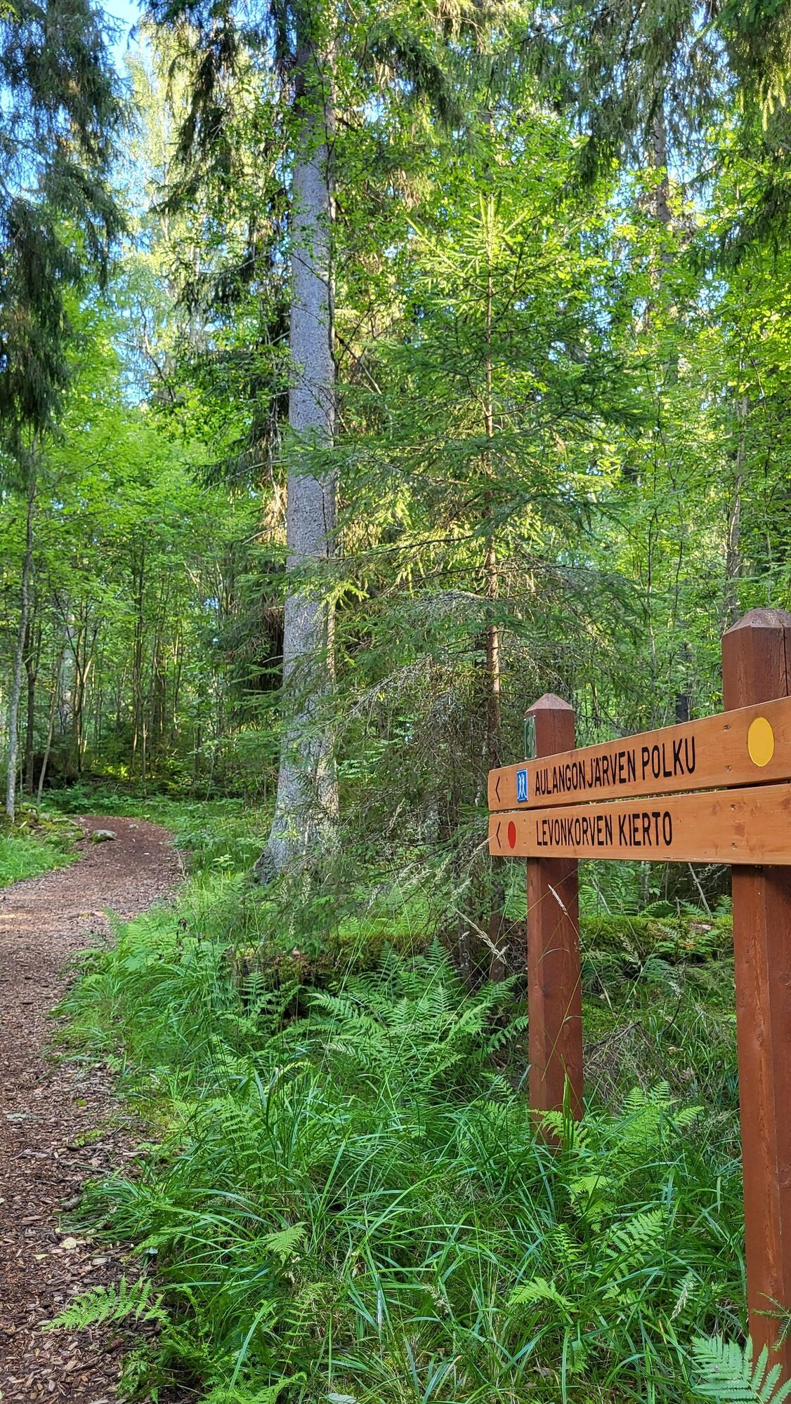

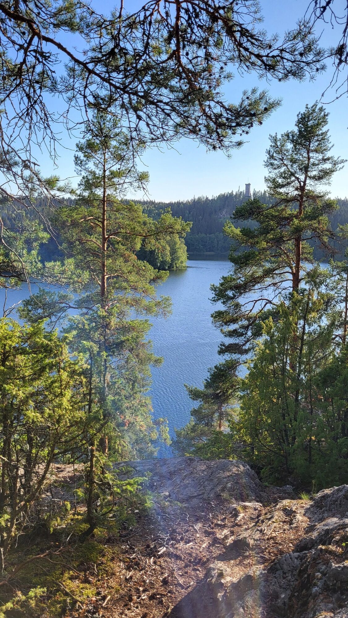
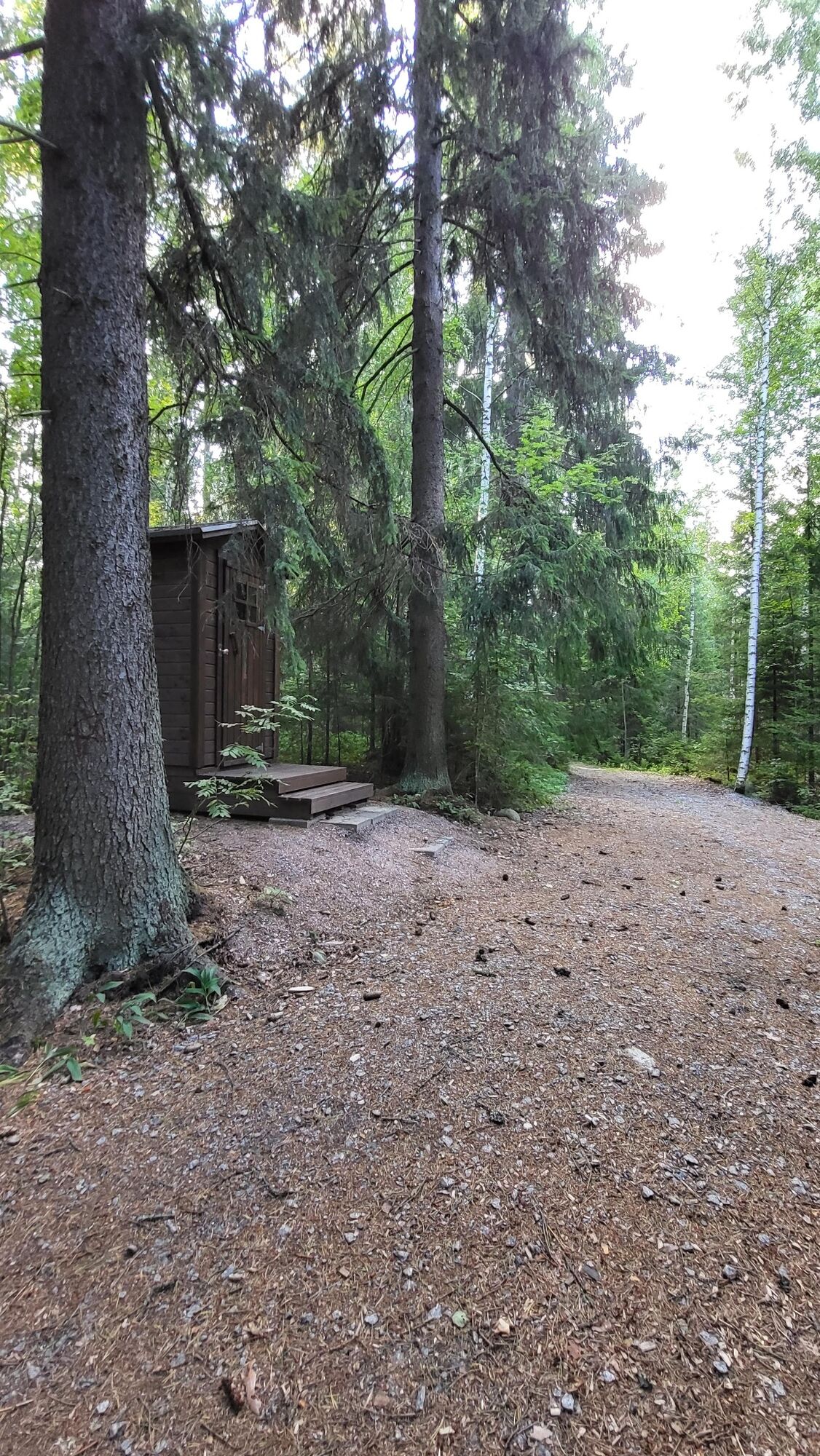
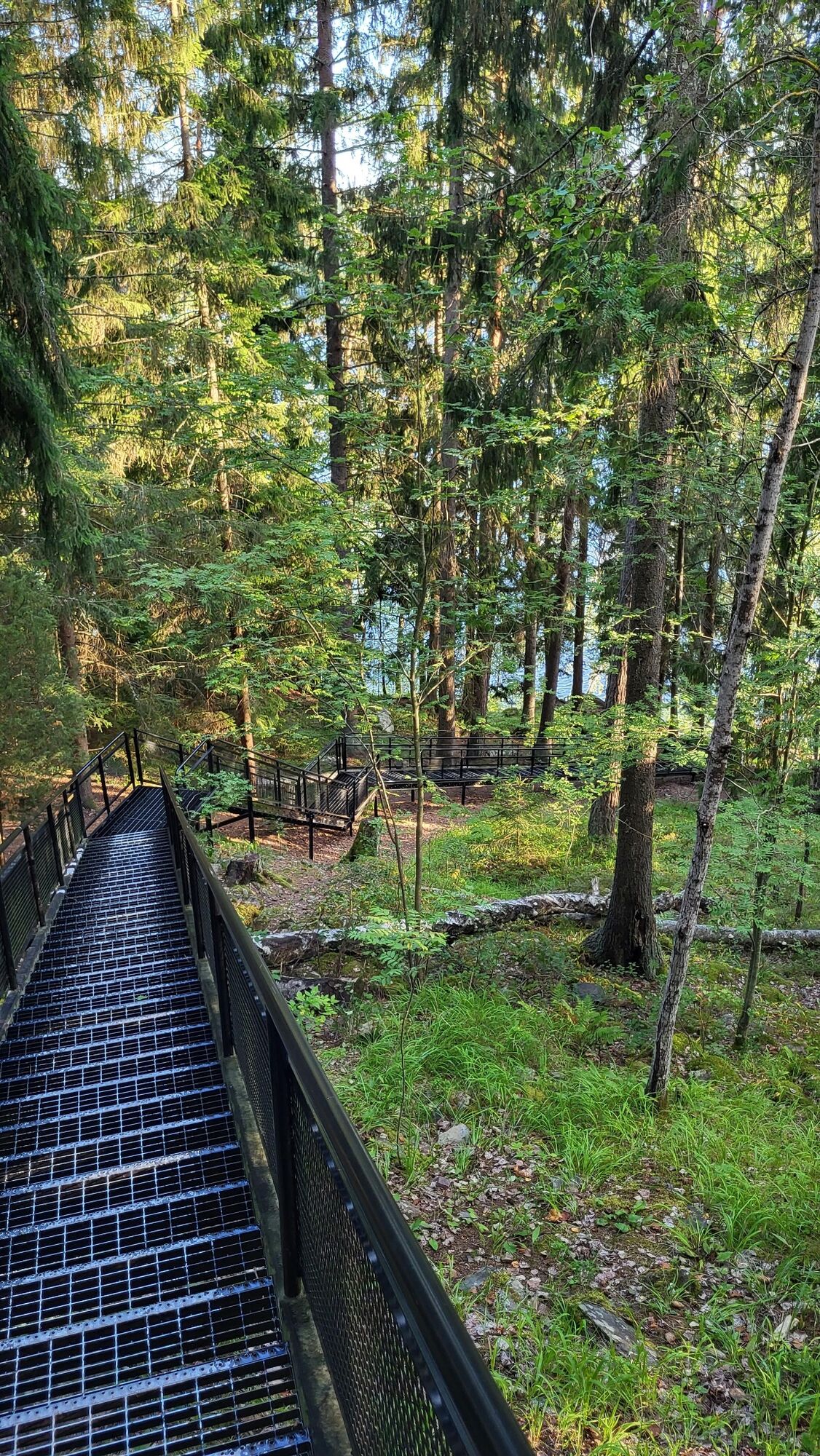
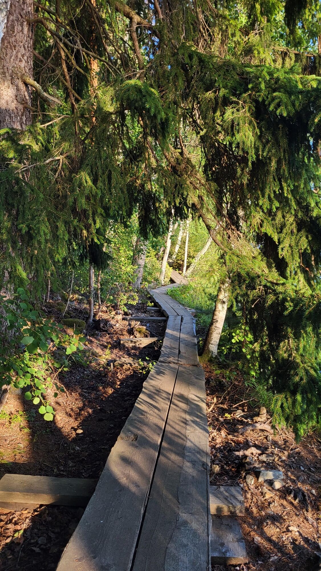
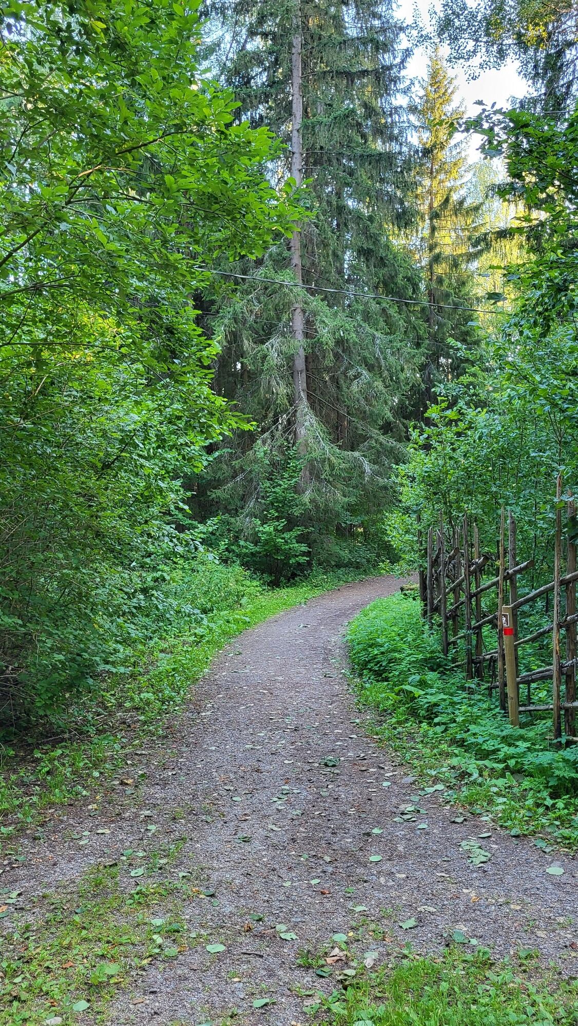
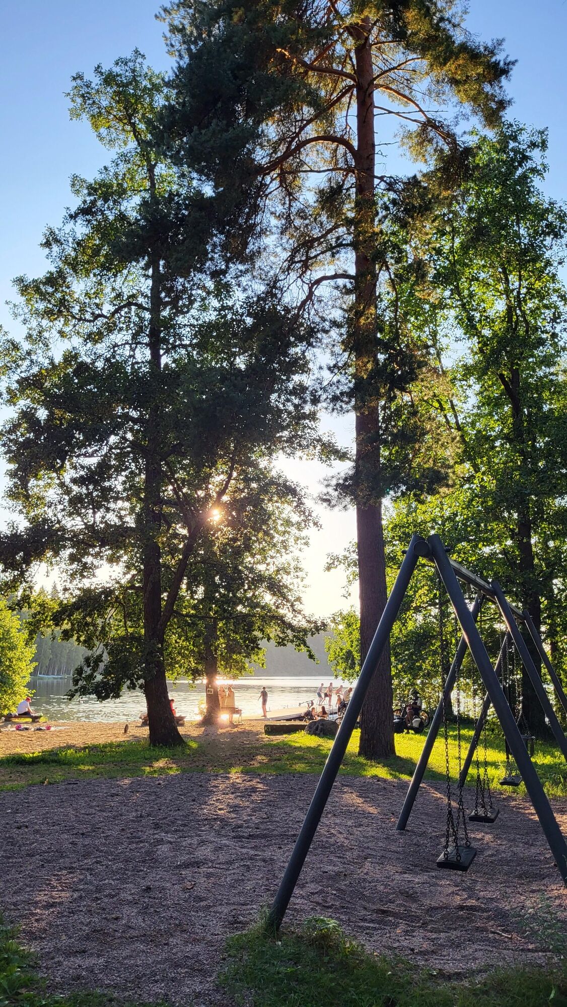
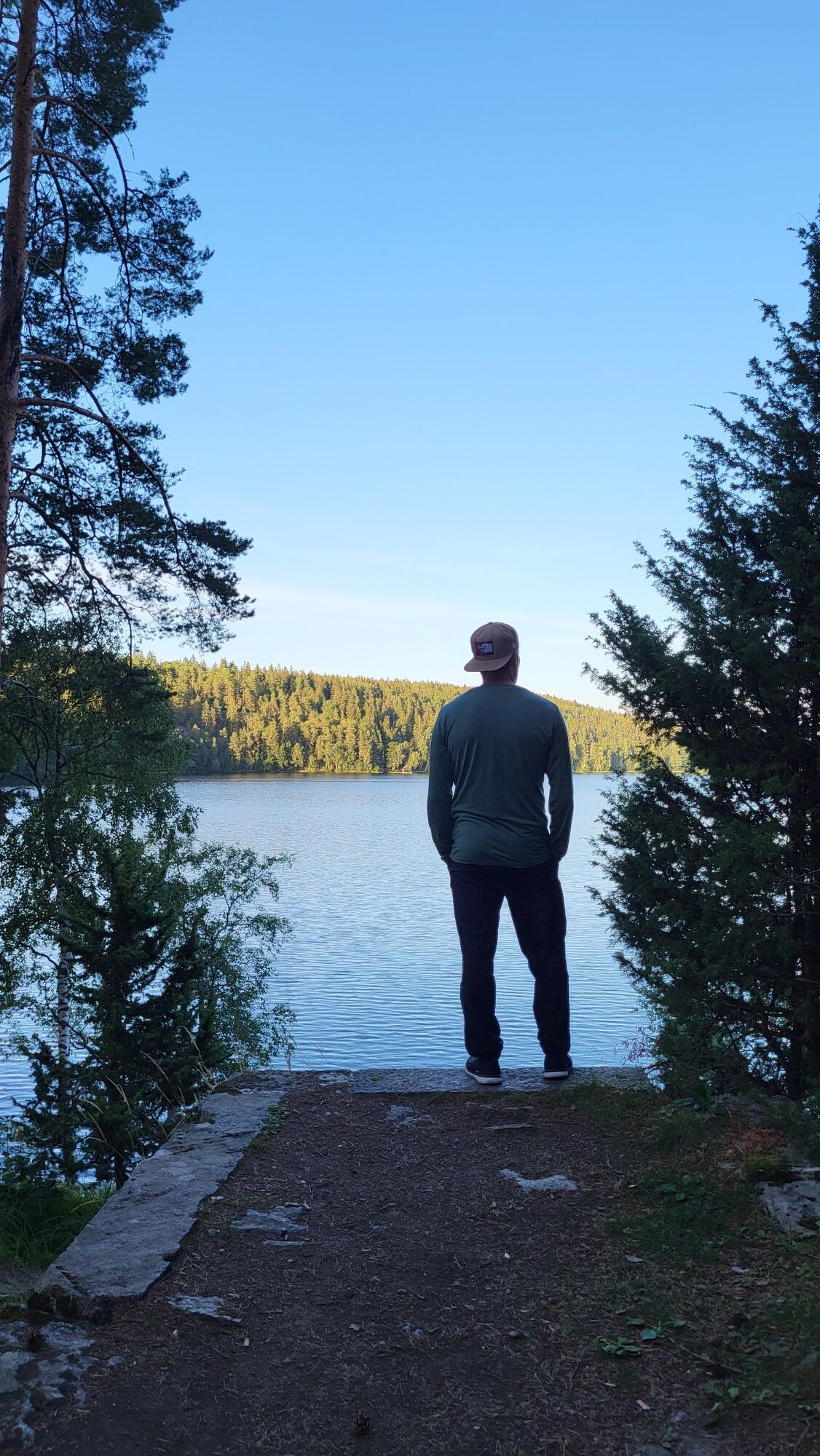
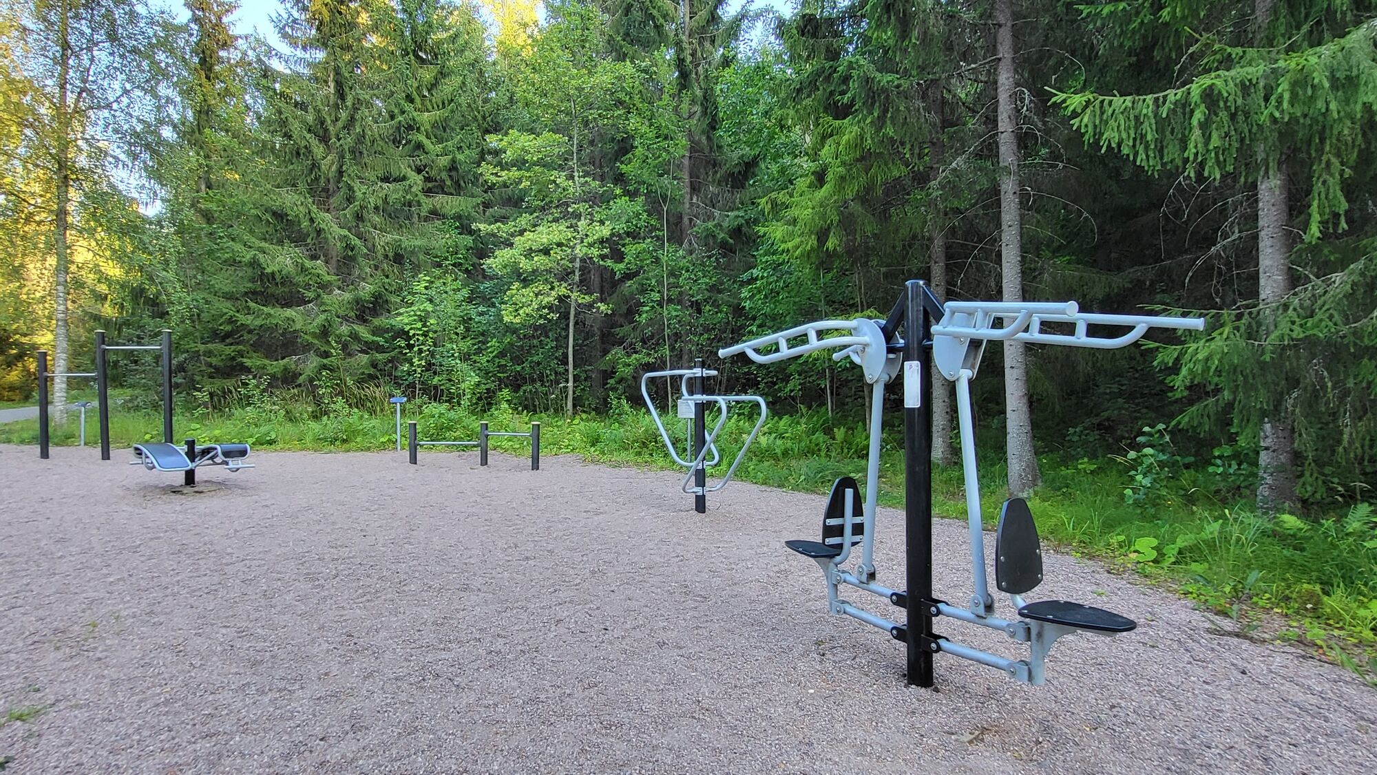
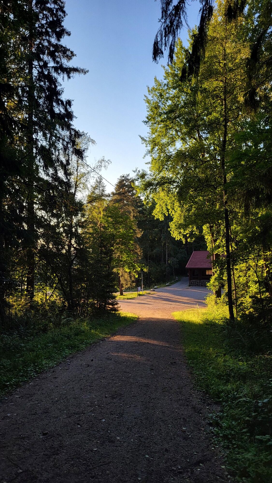
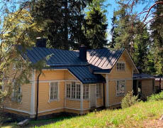

The Lake Aulanko trail runs along the west bank on a fitness trail, on the east bank it is a forest path. The beginning is sandy road and the signs are easy to follow. After one and a half kilometers, in the southeast part of the lake, there are duckboards. At this point, the path is also locally more difficult: there are stones and roots on the path which can be slippery after rain. The last part of the route is easy to walk, partially forest roads. In the middle of the route are the Levonkalliot rocks, known locally as Kärmeskallio, rising over 30 meters above the surface of Lake Aulanko. The nature along the route includes forest, fields, and water bodies.
The forest is typical coniferous forest but more lush. The area has a rich bird species variety. Bird species of old forests found in Aulanko include the black woodpecker, the barred owl, and the treecreeper. The terrain is also excellent for mushroom pickers and berry pickers. Nearly all native Finnish hardwood species can be found in the nature reserve.
Tak
Always bring weather-appropriate clothing on hikes.
Comfortable sneakers will serve you well on this route.
Read the instructions and rules for the Aulanko nature reserve here (click the text).
There are root-covered and rocky sections northeast of the path that may be slippery during and after rains.
Drive on Aulangontie (3053) in Hämeenlinna. Turn toward the signs for “Aulanko observation tower” and “Outdoor lodge beach”. Immediately after the intersection, turn left onto Linnanen road. Drive to the end of the road. At the end you will find a large parking area on the left side of the road.
You can easily reach Aulanko from Hämeenlinna railway station by bus. Check the schedule in the route planner.
Set the departure point as Hämeenlinna railway station and the destination as Aulanko outdoor lodge.
Free parking for 6 hours. The parking area also accommodates camper vans.
Take a break at Levonkallio
During the thaw, there are free city boats for everyone to use on Lake Aulanko
Popularne wycieczki w okolicy
Winter biking route, Hattula
średniMountainbike 13,6 kmHämeen Ilvesreitti Hattula 37.7 km
średniMountainbike 37,7 kmAulanko mountain bike route
średniMountainbike 13,8 kmHämeenlinna, Aulanko trail, intermediate
Wędrówka 5,94 kmLittle Lynx route Hattula
średniWędrówka 2,09 kmHiking and trekking route Hämeen Ilvesreitti Hattula
ciężkiWędrówka 34,7 kmStory Path
światłoTrasa tematyczna 0,60 kmJaakon rantapolku vaativa esteetön reitti
światłoTrasa tematyczna 0,68 kmHeinisuo loop 2.6 km
światłoWędrówka 2,63 kmVanajavesi water nature trail
Kajak / Canoe 34,5 km
Wędrówki i tropienie


Nie przegap ofert i inspiracji na następne wakacje
Twój adres e-mail została dodana do listy mailingowej.





