


Erkin poloku 3.5 km, Kajaani
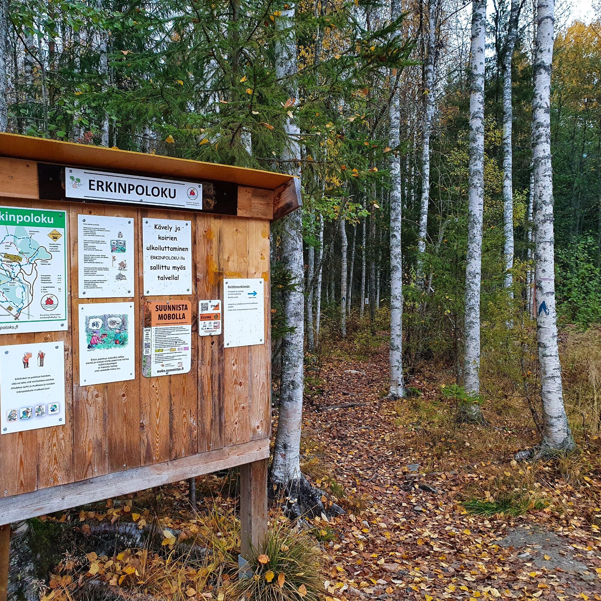
The trail is named after Erkki Kemppainen from Kajaani, who is an active local enthusiast. Locals know him as the creator, developer, and maintainer of the Erkin polku. The route starts north of Heinisuontie...
The trail is named after Erkki Kemppainen from Kajaani, who is an active local enthusiast. Locals know him as the creator, developer, and maintainer of the Erkin polku. The route starts north of Heinisuontie from the illuminated Kuurna jogging track and is marked on trees with blue paint. The Ketopolku and the shortcuts crossing the area are marked on trees with yellow paint. There are no large elevation changes on the trail, but there are some roots, stones, and small bridges.
The route passes through the diverse natural environment of Heinimäki, which includes swamps and meadows. The route is suitable for walking and mountain biking during the snow-free season and snowshoeing in winter. Along the route, there is a lean-to shelter and a campfire site accessible without barriers.
The maintenance of the route is the responsibility of the Kuurna-Komiaho residents' association.

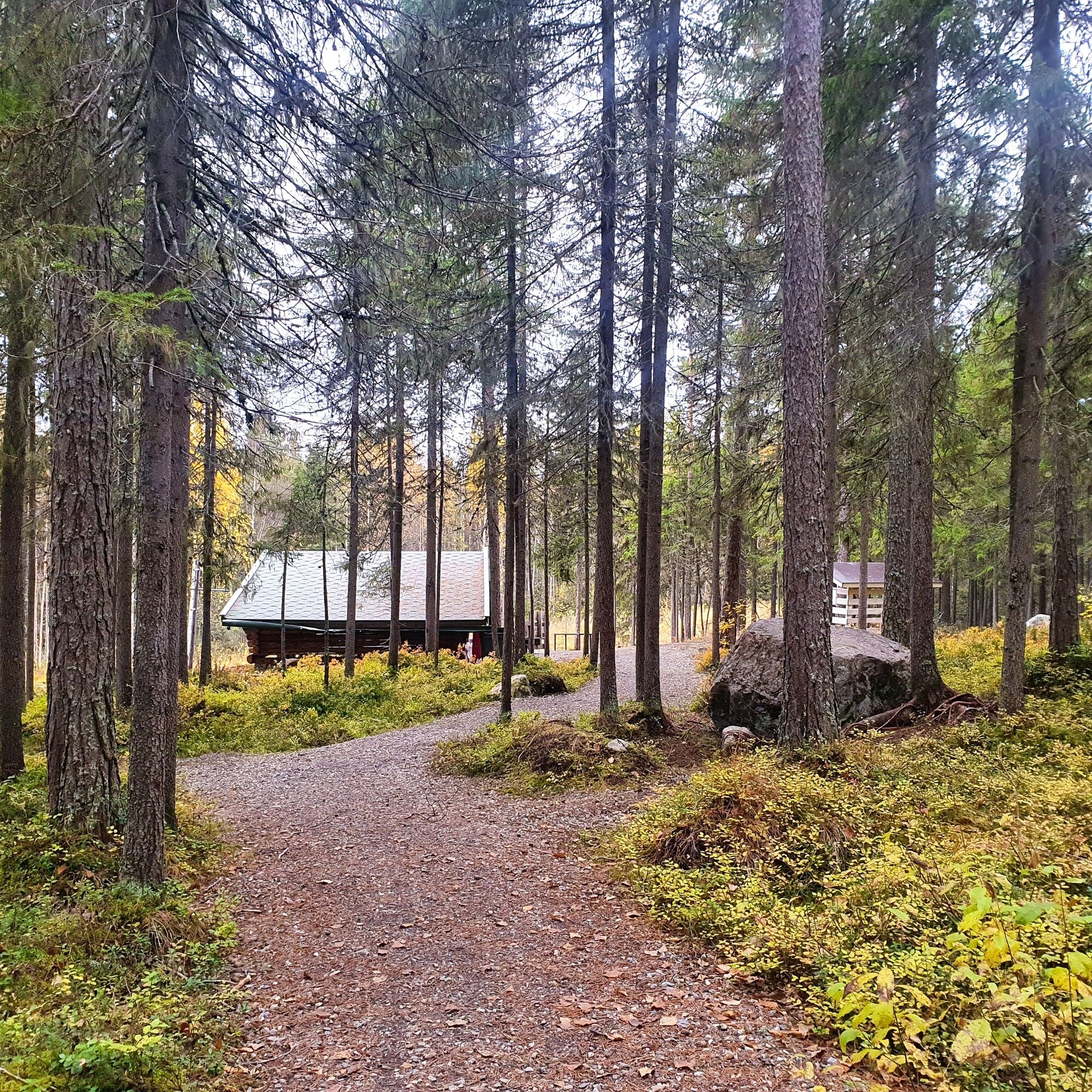
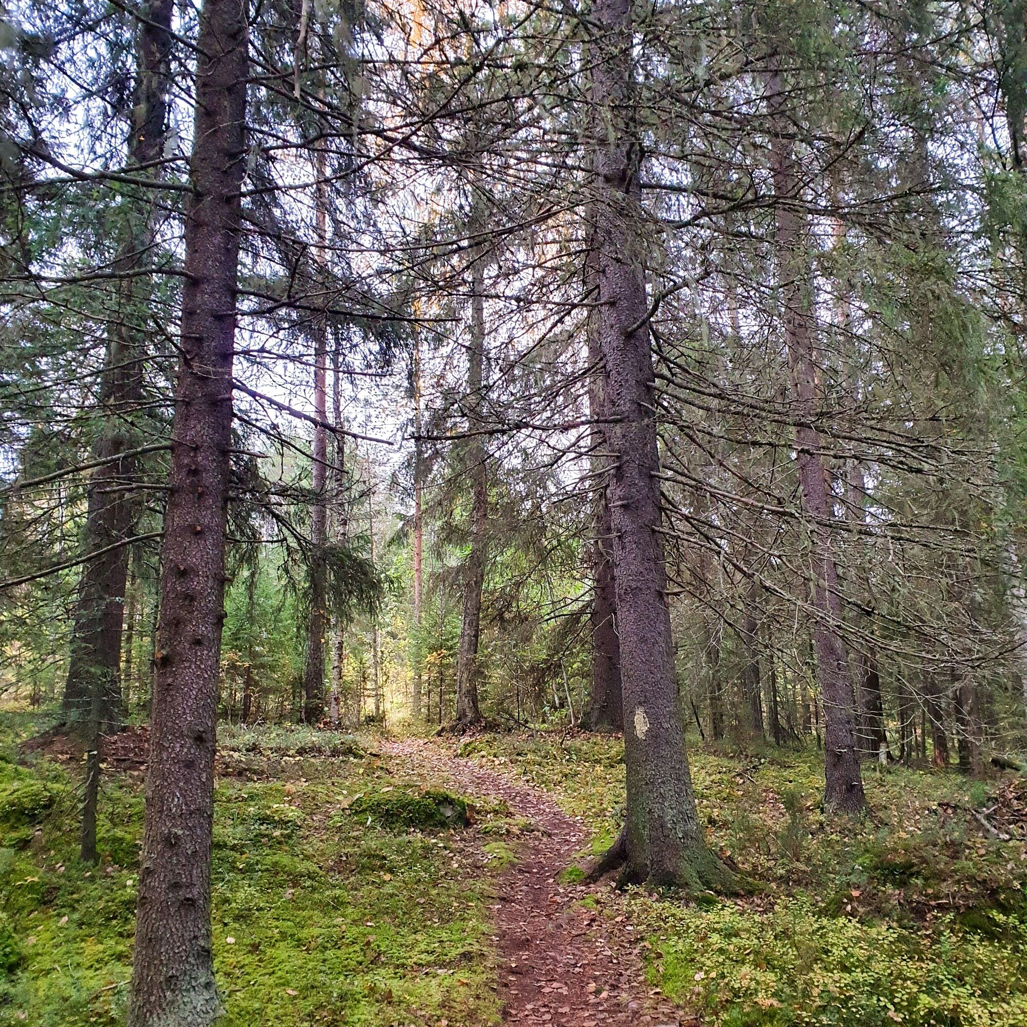
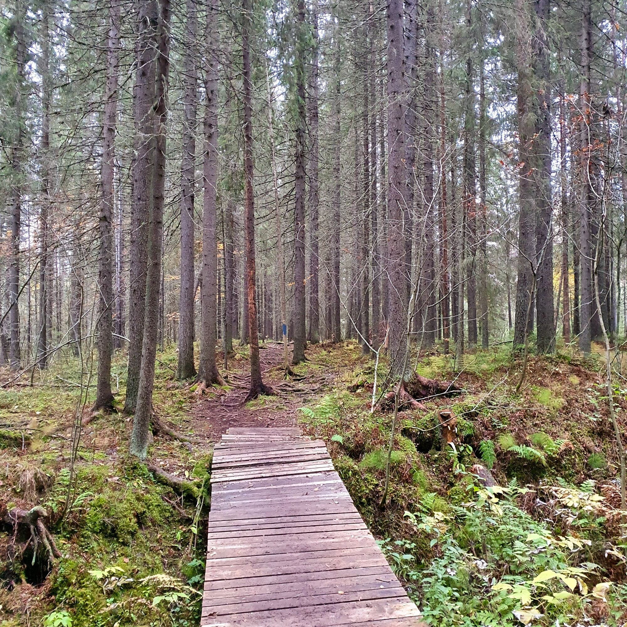
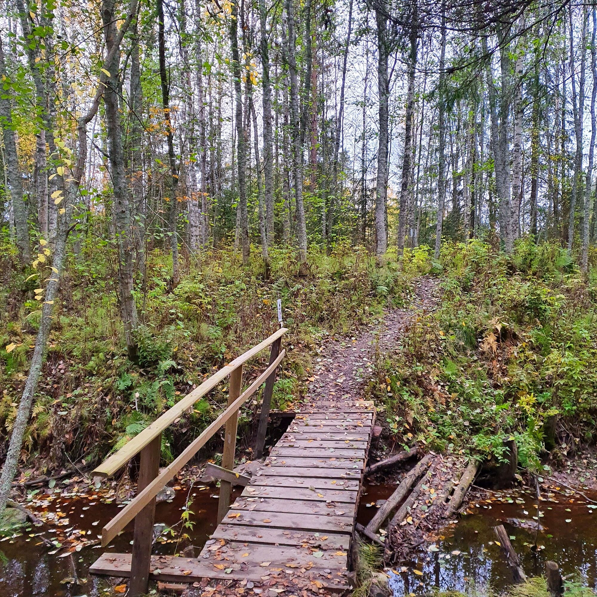
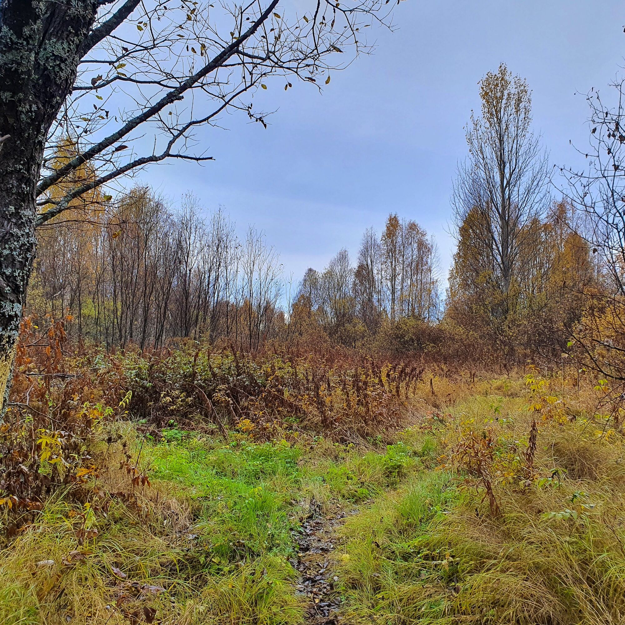
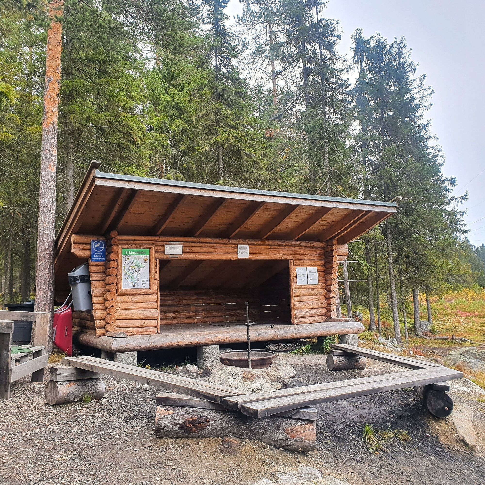
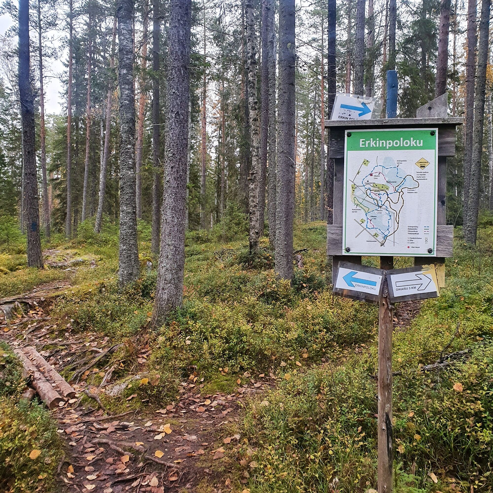
The starting point of the route is on Heinisuontie, where there is a large parking area. About 500 meters from the start, an 800-meter-long Ketopolku path branches off to the left. Along the Ketopolku, in addition to meadows, there are old spruces and pines as well as young seedlings. After 1.3 km, the Ketopolku rejoins the main Erkin polku and continues through a pine-dominated mixed forest crossing the old Heinisuontie road. After walking 2 km, you can choose whether to continue on the main Erkin polku or shorten the route by taking a shortcut through the dwarf forest, which shortens the route by 0.5 km. Shortly after the dwarf forest, you reach a crossing of a skiing trail, and the route continues according to the signpost into the pine forest, until after about 300 meters the skiing trail is crossed again. At 2.5 km from the starting point, there is a well-maintained lean-to shelter and campfire site. From behind the shelter, you can reach a well-maintained and wide gravel-surfaced path to the skiing trail, so the shelter is also accessible without barriers. Erkin polku continues from the front corner of the shelter downhill through an old, fairytale-like spruce forest, where small streams and ditches run, crossed by bridges back to the parking area.
Tak
Clothing and shoes suitable for outdoor activities.
Bridges, stones, and roots can be slippery when wet.
The route's starting point is near Kajaani city center at Heinisuontie 38 B, Kajaani.
The stop of Kajaani public transport line three is located near the starting point of the route.
Parking area at the starting point.
If desired, the hike can be extended by the Ketopolku path that goes through the meadow or lightened by using the area's shortcuts.
Popularne wycieczki w okolicy
-
Kesäniemi - Kuluntalalahti paddling route 11 km, Kajaani
średniKajak / Canoe 11,5 km -
Kuluntalahti - Rehja island paddling route 8/16 km, Kajaani
średniKajak / Canoe 7,18 km -
Vimpelinlampi Walking Trail 2,5 km, demanding accessible, Kajaani Finland
światłoTrasa tematyczna 2,51 km -
Arppen forest trail 2.2 km, Kajaani
światłoWędrówka 2,06 km -
Tour de Nuas road cycling route 85 km, Vuokatti
ciężkiKolarstwo długodystansowe 84,6 km -
Akkovaara family excursion - About devils and giants 2 km, Kajaani Finland
średniWędrówka 2,31 km -
Eino Leino cultural walk, 2 km, Kajaani Finland
światłoTrasa tematyczna 1,96 km -
Pirunvaara - Kirkkokallio hiking trail 13 km, Kajaani Finland
średniMountainbike 11,9 km -
6 km from Kuurna paddling barn to the market square, Kajaani
średniKajak / Canoe 5,97 km -
Sotkamo - Kajaani road cycling route 220 km, Vuokatti
ciężkiKolarstwo długodystansowe 218,9 km
Wędrówki i tropienie


Nie przegap ofert i inspiracji na następne wakacje
Twój adres e-mail została dodana do listy mailingowej.