





Pirunvaara - Kirkkokallio hiking trail 13 km, Kajaani Finland

The Pirunvaara-Kirkkokallio route offers a beautiful hiking or mountain biking experience with diverse nature near the city of Kajaani. From rocky uphills, lake views and enchanting fairytale forests,...
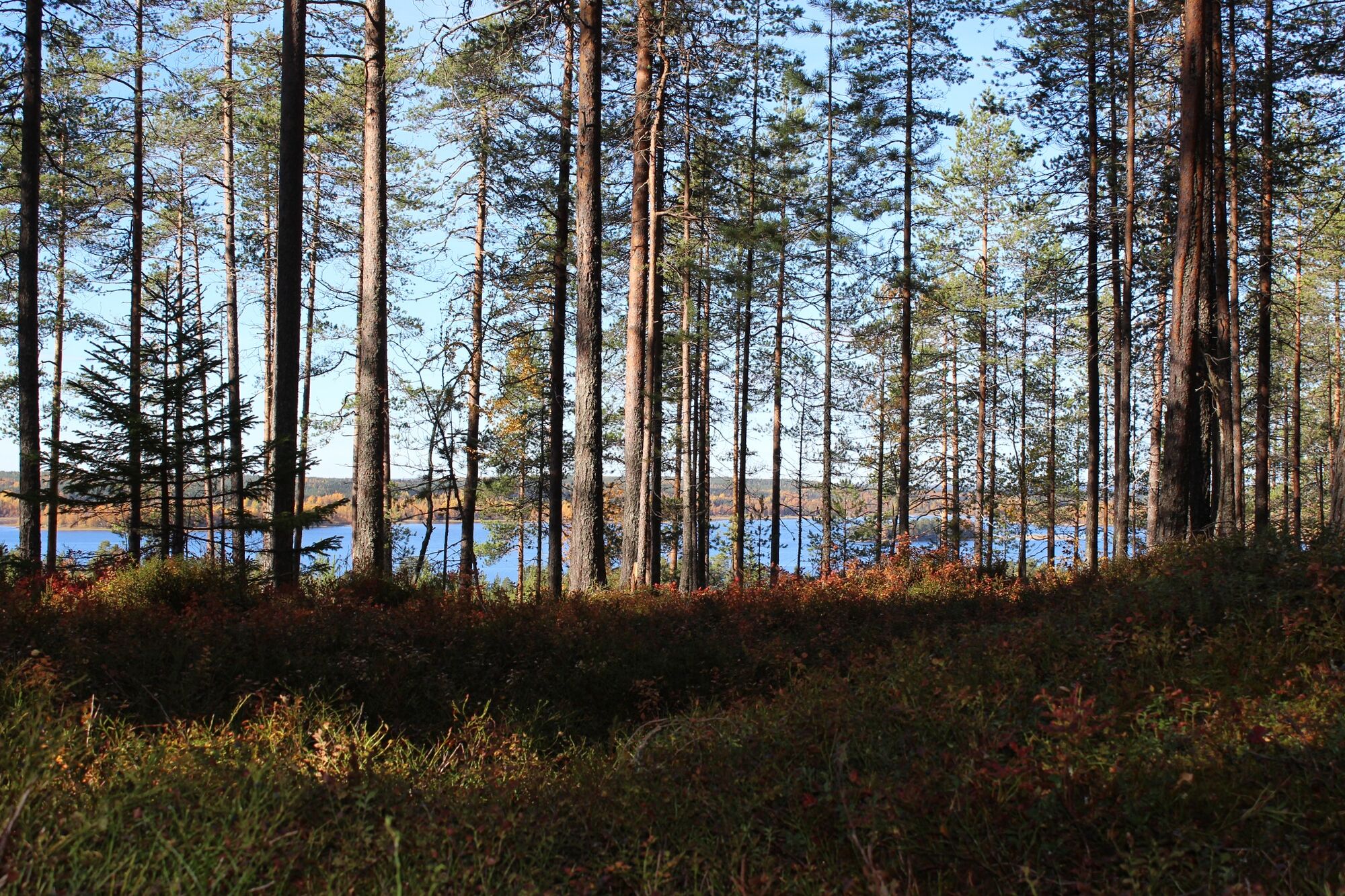
The Pirunvaara-Kirkkokallio route offers a beautiful hiking or mountain biking experience with diverse nature near the city of Kajaani. From rocky uphills, lake views and enchanting fairytale forests, this route covers it all.
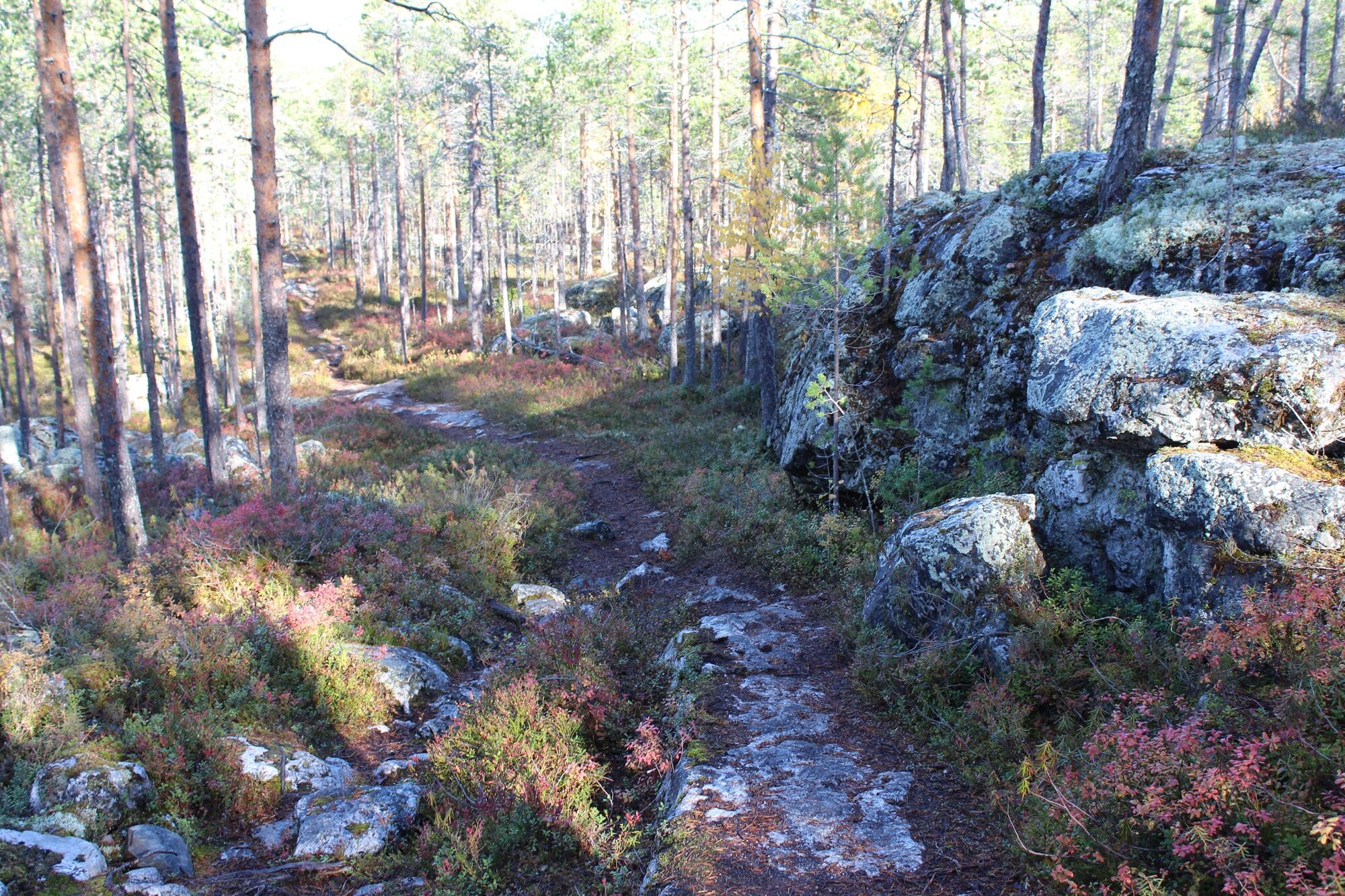
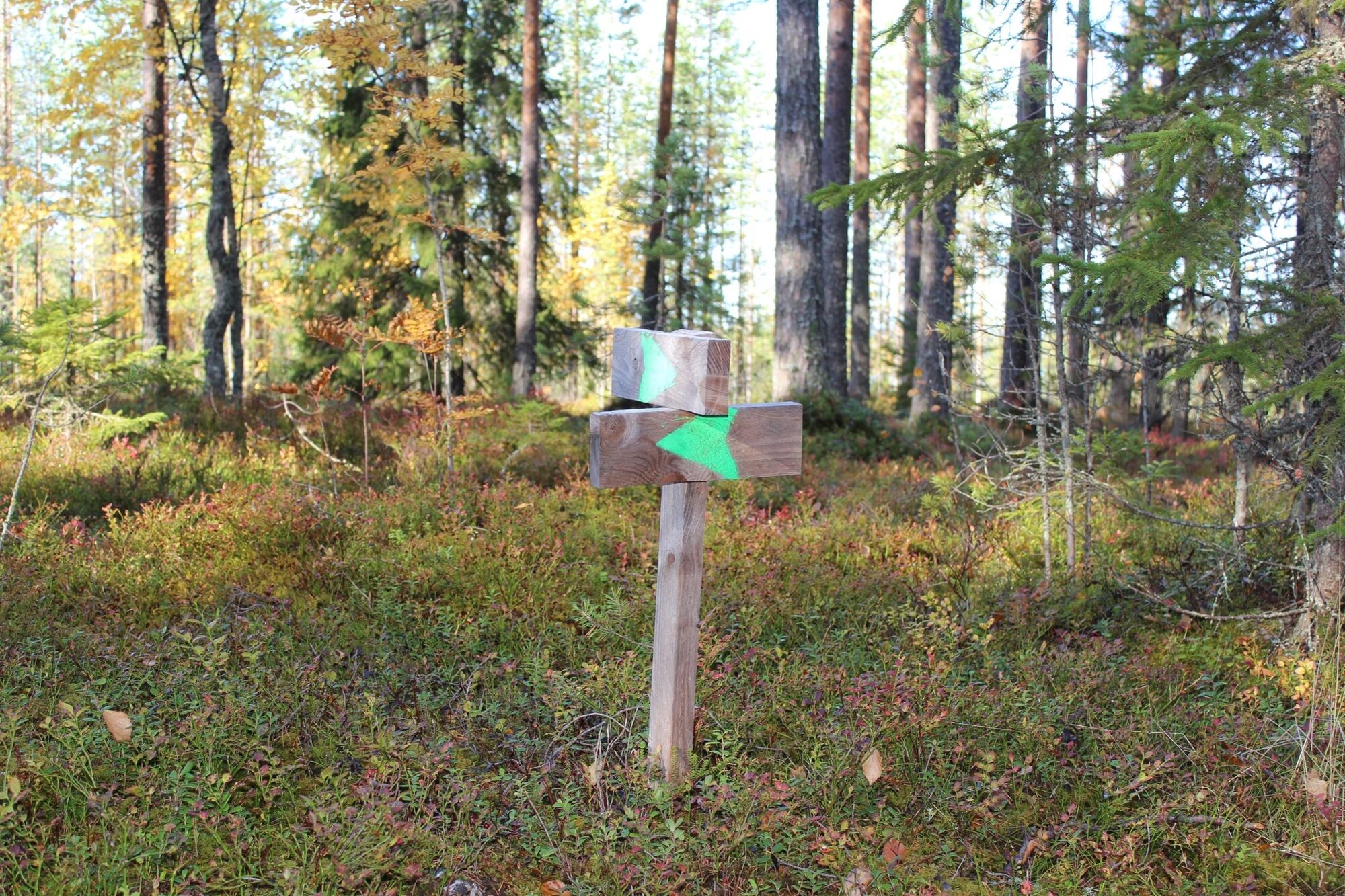
For guidance, green signs on trees and brown signs are provided, pointing you in the right direction. The route is of moderate level and ensures a few hiking adventures with elevation differences and stones. Overall, the trail offers beautiful views and natural highlights with some demanding terrain on the way. For example, a passage made of wooden sticks and some rocky pathways contribute to a multifaced hiking experience. Furthermore, some paths through the forest look like you are walking through a fairytale forest. Also, a campfire that is located halfway through the route invites you for a break while enjoying the beautiful scenic lake view.

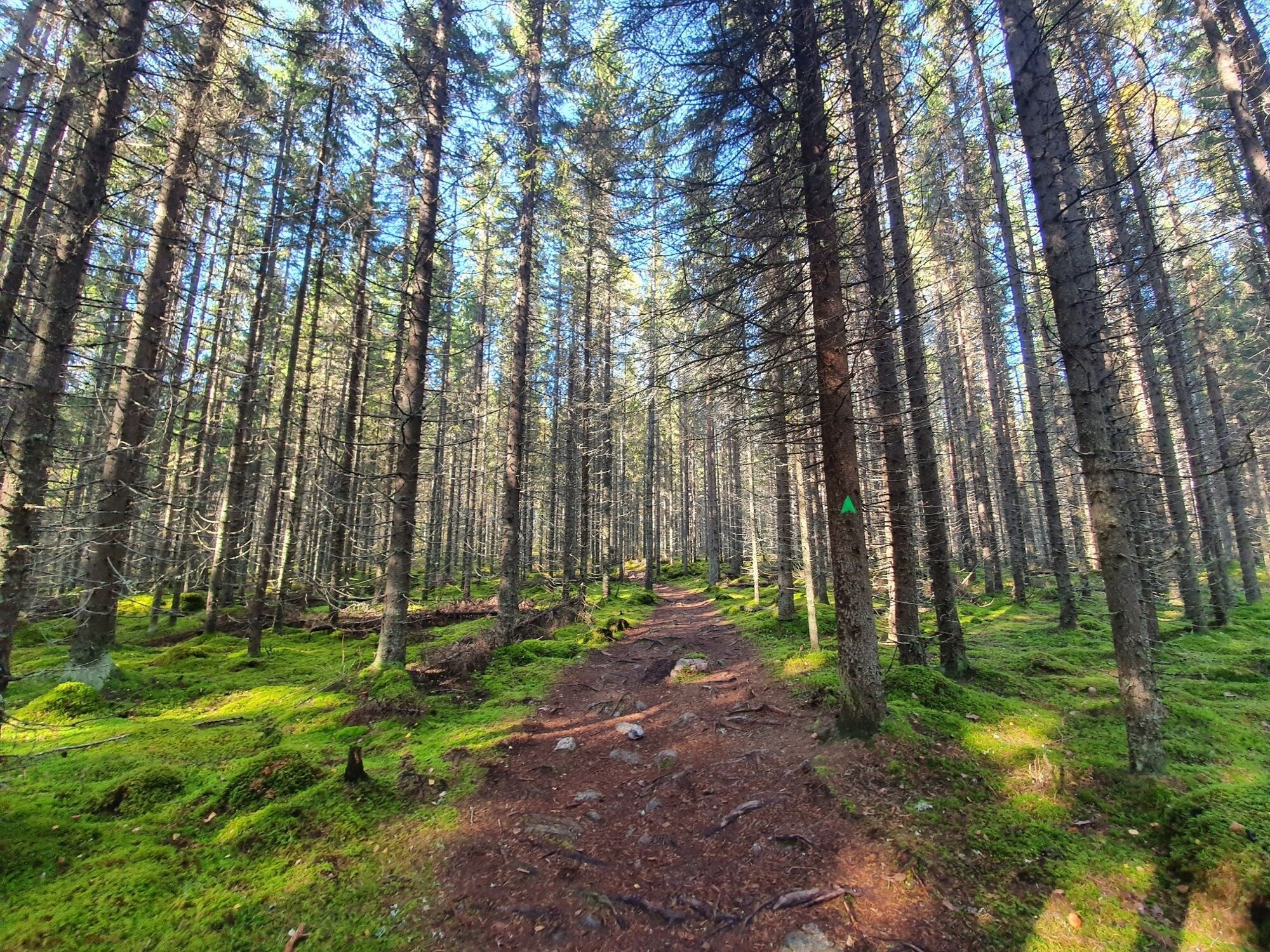
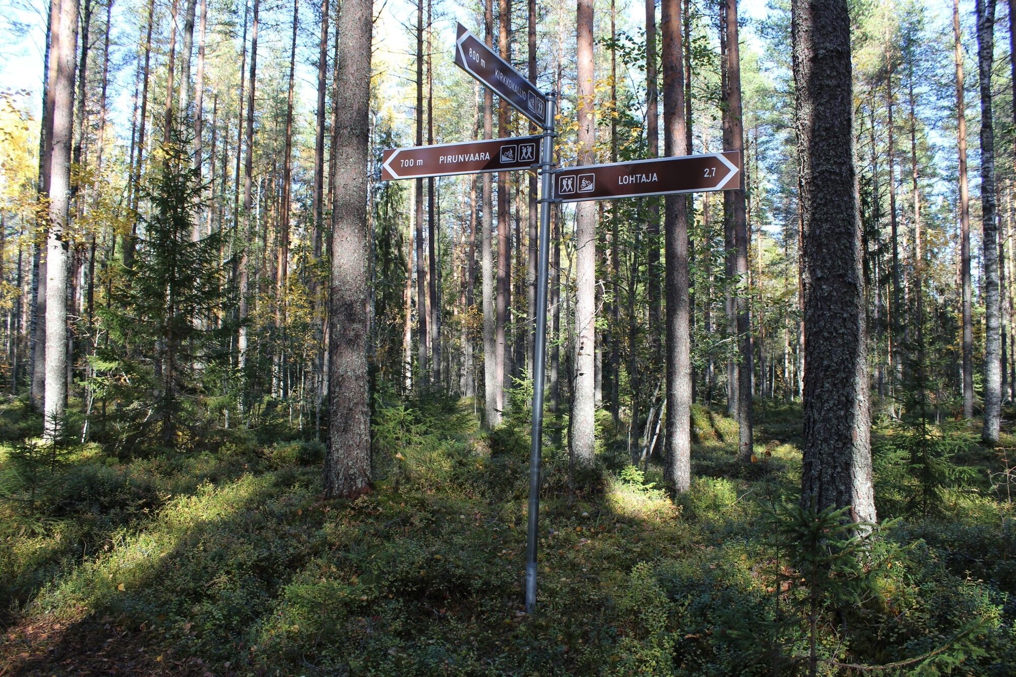
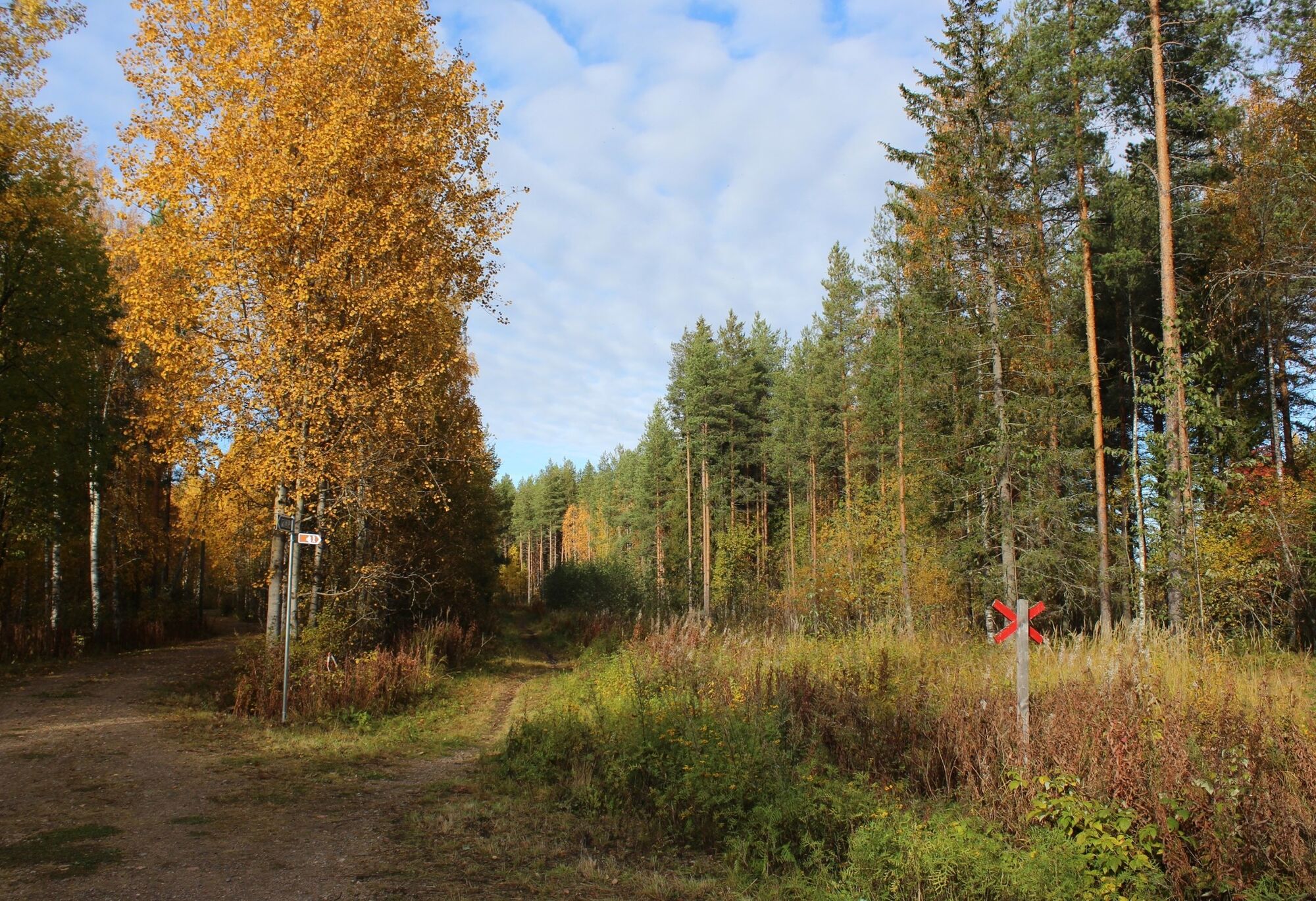
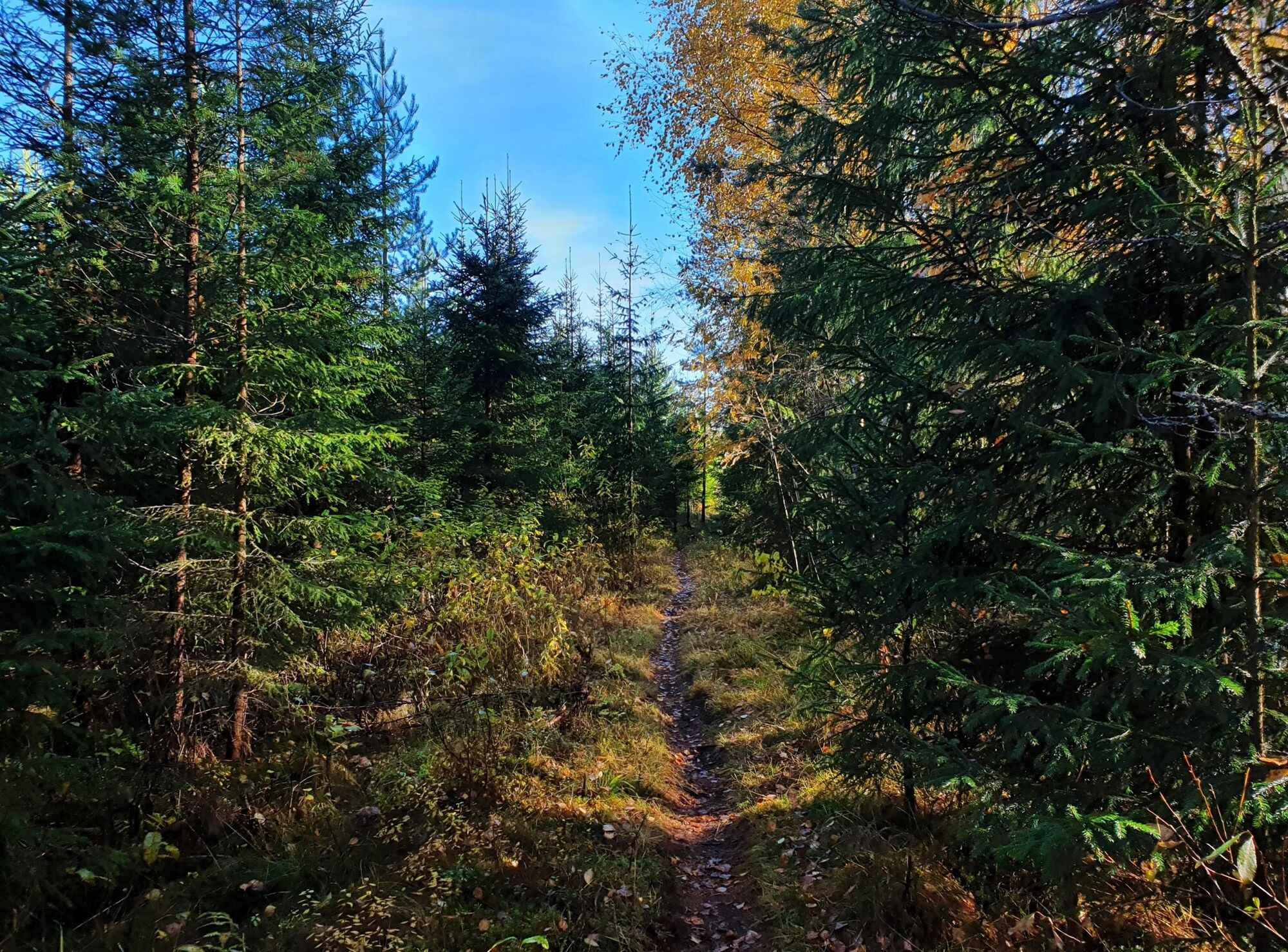

START: a small coffee shop below the hotel, follow a wide gravel path next to the main road for 200m until you come to a crossing and underpass. From there, follow the brown signposts showing the hiking trail. Take the underpass and briefly turn right onto a tarmac footpath/cycle path but leave it immediately to the left onto a forest path. Follow this path for about 1.2 km until you meet a road again. After crossing the road, you reach the loop trail, which you can follow either to the right in the direction of Kirkokallio or to the left in the direction of Lohtaja.
In this route description, take a right turn and follow the signs towards Kirkokallio until you reach a clearing. Turn left. Follow the path for 800 m until you reach an asphalt road with the next information point displaying a map. After crossing the road, the path continues along a small path into the forest (green signs).
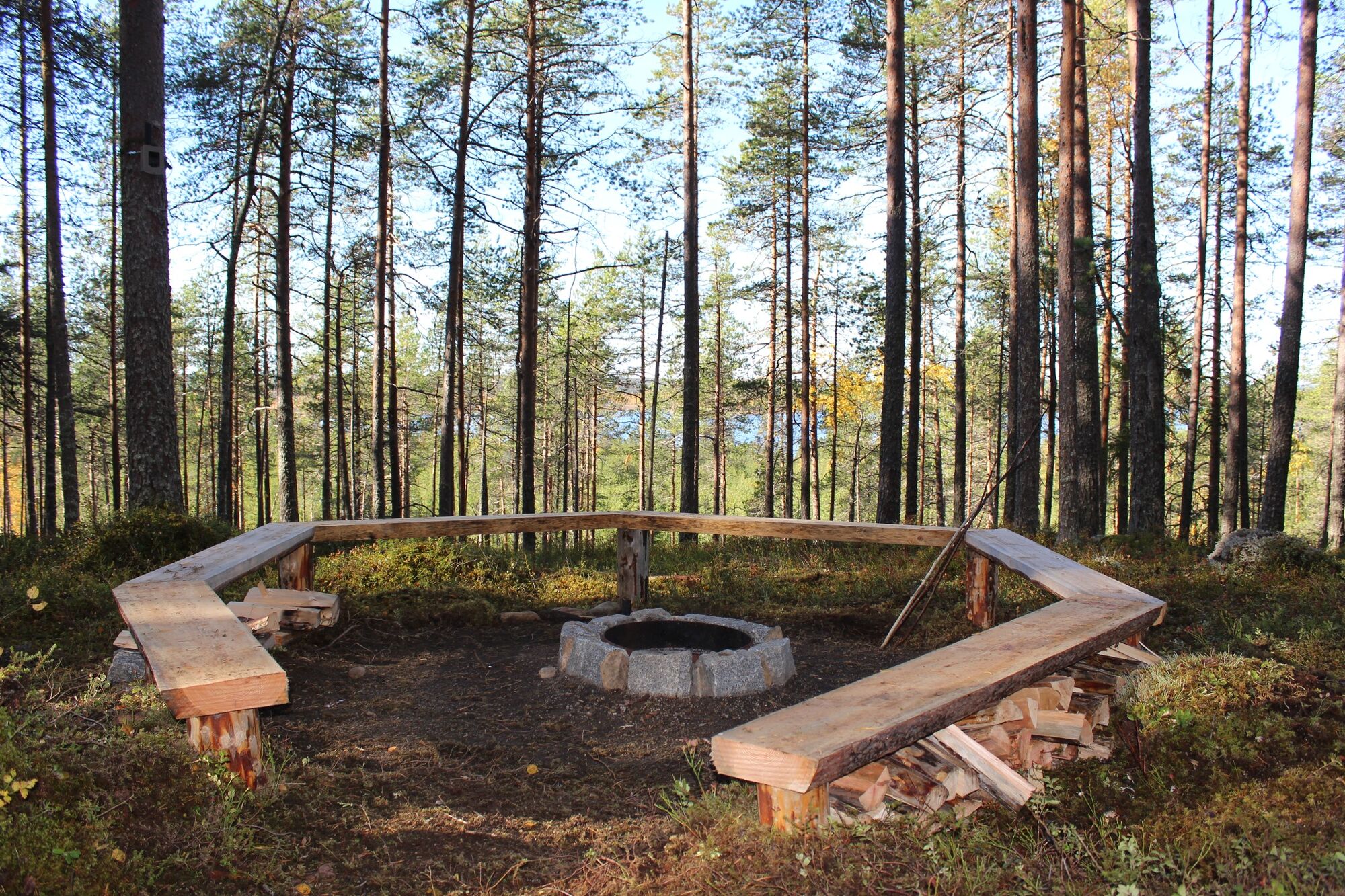
After 600 m you reach the next crossing, where continue straight ahead, follow the signs to Pirunvaara. After 700 m you arrive at the next information point. At this crossing, you have the option of shortening the trail by going straight ahead or continuing to the right, where a beautiful view of Lake Oulujärvi awaits you, as well as a fireplace. The firewood is in a shelter 20 m behind the fireplace.
Numerous natural highlights await us on the next section of the hike. As you hike / bike along, the path becomes steeper and covered with various stone and rock formations. After a while, you reach another highlight: a passage with wooden sticks across the path. After 1.5 km you arrive at the last information point. From there turn back and return to Pirunvaara.
Once there, look for the signs to Kirkkokallio and continue for 1 km, following the green arrows. Next, you come to a crossing where turn right towards Kirkkokallio. Three narrow bridges await afterwards, allowing us to cross the ditch. Now follows a small adventurous climb with many stones. After this, you are rewarded with an idyllic forest walk full of moss and interesting bush. Continue and follow the arrows until you reach a gravel path, where turn left. At the next sign, the path takes to the right. Soon, there is the road again, which you have to cross. Now just follow the signposts to get back to our starting point.
Tak
Waterproof hiking boots
Mountain bike or eMTB
Snacks and drink always recommended
First Aid
The trail is signposted with brown signage and green paint markings.
Some of the paths can be muddy and slippery in autumn or early spring. Suitable footwear is therefore particularly important at that time of year.
Coming from Kajaani, follow E63 towards Iisalmi until you reach Hotel Kainuunportti. Parking is available at the hotel.
There is a bus stop on the main road in front of the hotel.
Free, public parking place
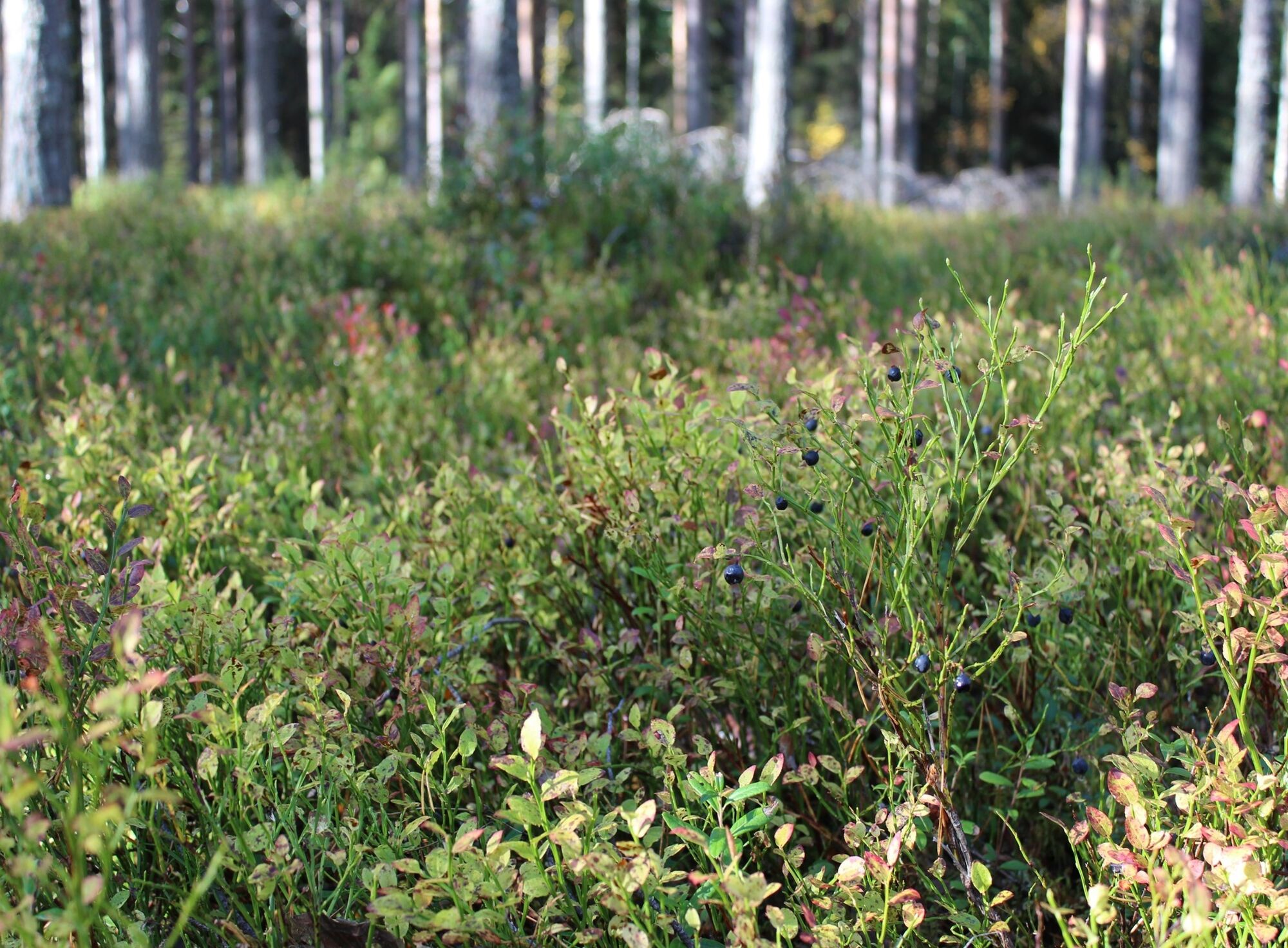
In late summer/early autumn do bring a storage box or similar to collect blueberries, cranberries and mushrooms along the way.
If you are looking for a longer hike you can always connect this route to nearby routes.
Make sure to bring snacks for the campfire along the way to ensure a delicious rest. There you have a beautiful view of the forest and lake Oulujärvi.
Popularne wycieczki w okolicy
-
Kesäniemi - Kuluntalalahti paddling route 11 km, Kajaani
średniKajak / Canoe 11,5 km -
Kuluntalahti - Rehja island paddling route 8/16 km, Kajaani
średniKajak / Canoe 7,18 km -
10 km hiking round trip around Ärjänsaari, Kajaani
światłoWędrówka 9,20 km -
Vimpelinlampi Walking Trail 2,5 km, demanding accessible, Kajaani Finland
światłoTrasa tematyczna 2,51 km -
Arppen forest trail 2.2 km, Kajaani
światłoWędrówka 2,06 km -
Tour de Nuas road cycling route 85 km, Vuokatti
ciężkiKolarstwo długodystansowe 84,6 km -
Akkovaara family excursion - About devils and giants 2 km, Kajaani Finland
średniWędrówka 2,31 km -
Eino Leino cultural walk, 2 km, Kajaani Finland
światłoTrasa tematyczna 1,96 km -
6 km from Kuurna paddling barn to the market square, Kajaani
średniKajak / Canoe 5,97 km -
Day trip from Kajaani to Iso Ruuhijärvi 12 km, Kajaani Finland
średniMountainbike 12,4 km

Wędrówki i tropienie


Nie przegap ofert i inspiracji na następne wakacje
Twój adres e-mail została dodana do listy mailingowej.





