






WY_N19 Obervellach round route
Fancy seeing winter from a different perspective?
Then get outside! The scenic diversity between mountain, lake, and valley opens up a real treasure of leisure opportunities away from the slopes. Nature...
Fancy seeing winter from a different perspective?
Then get outside! The scenic diversity between mountain, lake, and valley opens up a real treasure of leisure opportunities away from the slopes. Nature lovers who need a few hours to themselves find new serenity in ski touring, snowshoe hiking, cross-country skiing, or ice skating.

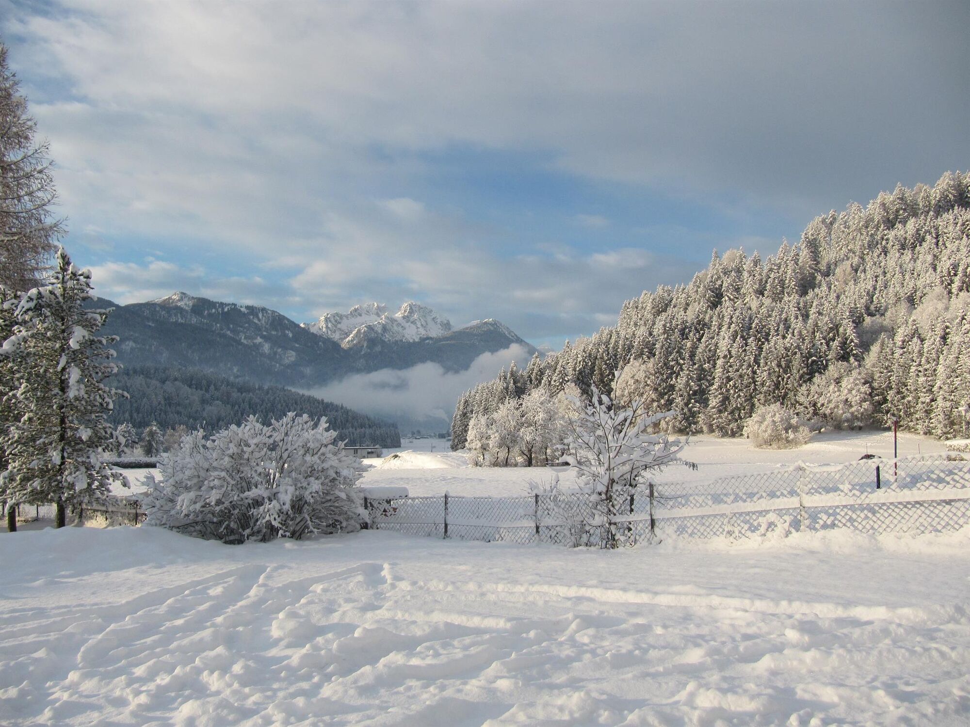

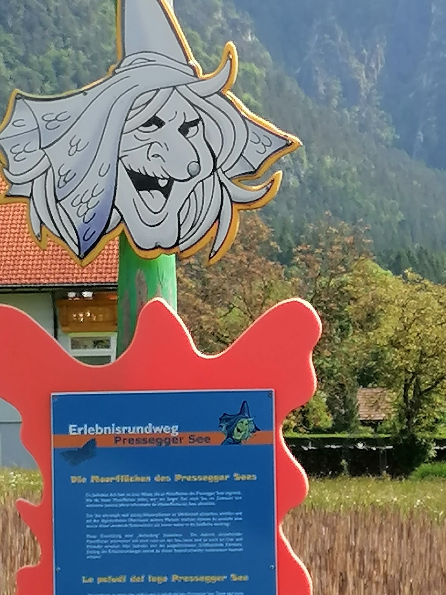
Obervellach - Khünburg - Pressegger See - Untervellach
Tak
FAIR PLAY & RESPECT:
Mindfulness for nature – landowners – your health.... and safety on the mountain have the highest priority on your route and its planning!
Therefore, inform yourself before every winter hike about the rules of conduct - Safety on the Mountain, as well as the current snow and avalanche report Carinthia Avalanche Warning Service and the weather conditions.
Waste disposal:
Waste is not always avoidable – but it has no place in nature and should be properly disposed of (preferably in the valley or at home).
Emergency numbers:
European emergency number: 112 (accessible on every available network)
Mountain Rescue Austria: 140
Access via the B111 to Obervellach.
Arrival in Obervellach is possible by public transport.
www.nassfeld.at/mobilitaet
Bitte beachtet die etwaigen Parkhinweise der jeweiligen Grundstückseigentümer sowie die entsprechenden gesetzlichen Vorschriften.
Are you looking for more winter hiking routes in the region?
You can find this and many more infos at - Route tips
Places to stop for refreshments:
- La Stube (Obervellach town center)
- as well as a variety of year-round open refreshment options in the town center of Hermagor and the surrounding villages (Untervellach...) - details at Service A-Z.
Uzyskaj wgląd
Zawsze na żywo z ponad 9 500 kamer internetowych. bergfex Jako użytkownik Pro, możesz teraz zobaczyć odpowiednie kamery internetowe dla wielu wycieczek w aplikacji wycieczki od. Pozwala to na bezpośredni podgląd aktualnych warunków.
Popularne wycieczki w okolicy
-
4,9
W10 - Large lake round - Weissensee
ciężkiMountainbike 31,5 km -
4,8
RW_N9 Weißenbachklamm
średniWędrówka 7,49 km -
4,8
Parkplatz Seetal - STAFF und retour
średniWędrówka 13,2 km -
4,7
W5 - Naggler Alm Round Weissensee
średniMountainbike 15,8 km -
4,9
Weissensee Ost- nach Westufer
światłoWędrówka 10,2 km -
4,4
WY_W2 hike to the Alm behind the Brunn
średniWędrówka zimą 3,04 km -
5,0
Bodenalm - Ostufer - mit dem Schiff zurück
Mountainbike 19,1 km -
4,9
Weiße Wand - Alm hinterm Brunn
Mountainbike 22,1 km -
4,9
Weißenbachklamm
ciężkiWędrówka 5,80 km -
4,2
Slow Trail Pressegger See RW_N16
światłoWędrówka 5,78 km
Wędrówki i tropienie


Nie przegap ofert i inspiracji na następne wakacje
Twój adres e-mail została dodana do listy mailingowej.





